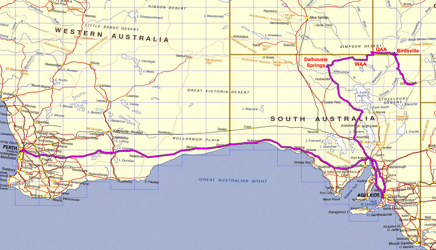
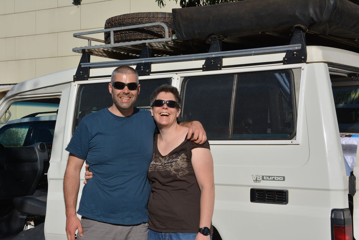
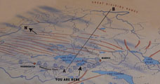
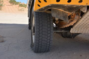
On Wednesday, April 18th 2018 we leave Perth in easterly direction.
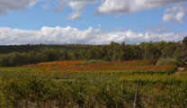
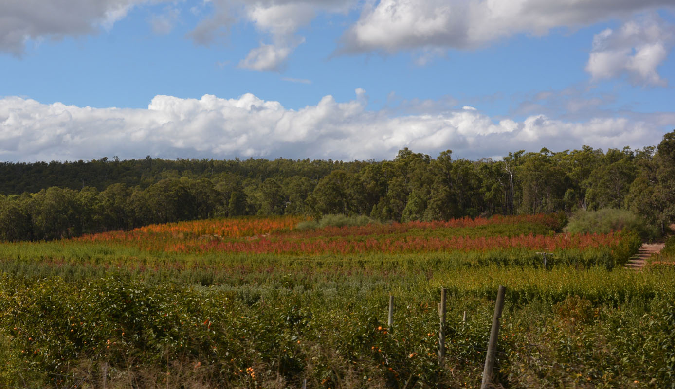
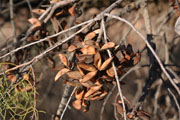
Around Kalamunda the autumn colours are starting to show.
We take the Brookton Highway.
After the nights rain the air is a bit fresh ... 24°C is the highest we see today ...
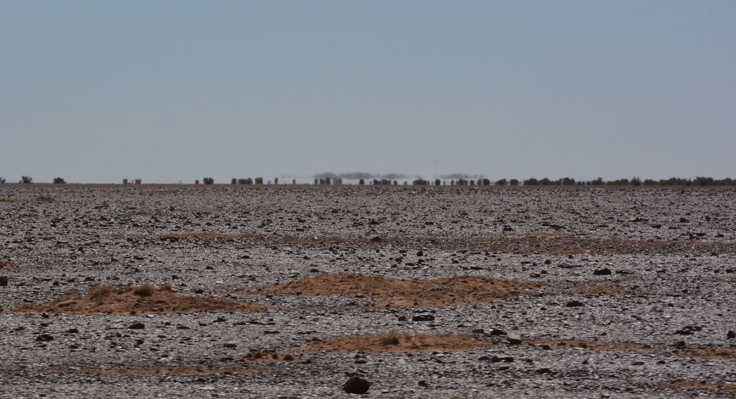
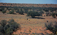
The hilly country flattens after Brookton.

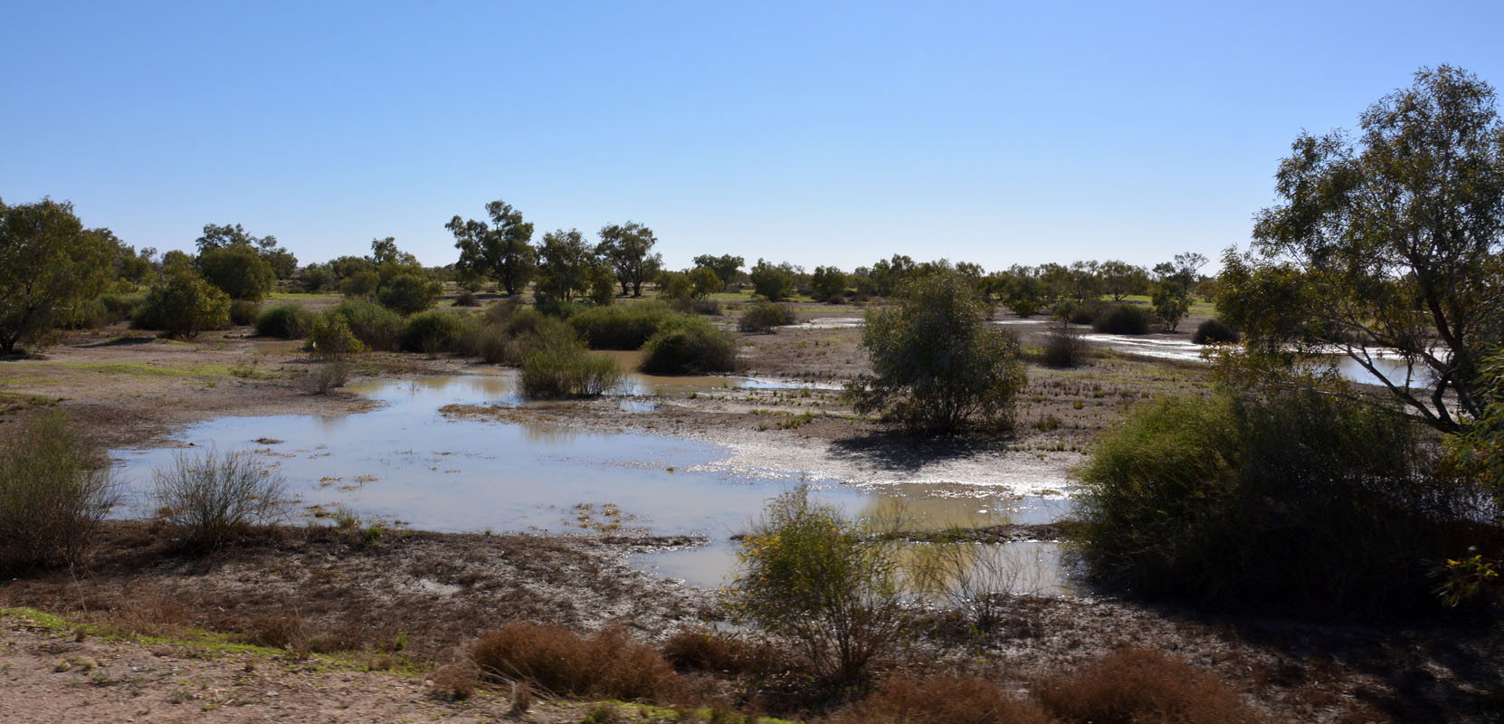
While some fields are only being burned others are already being prepared for seeding.
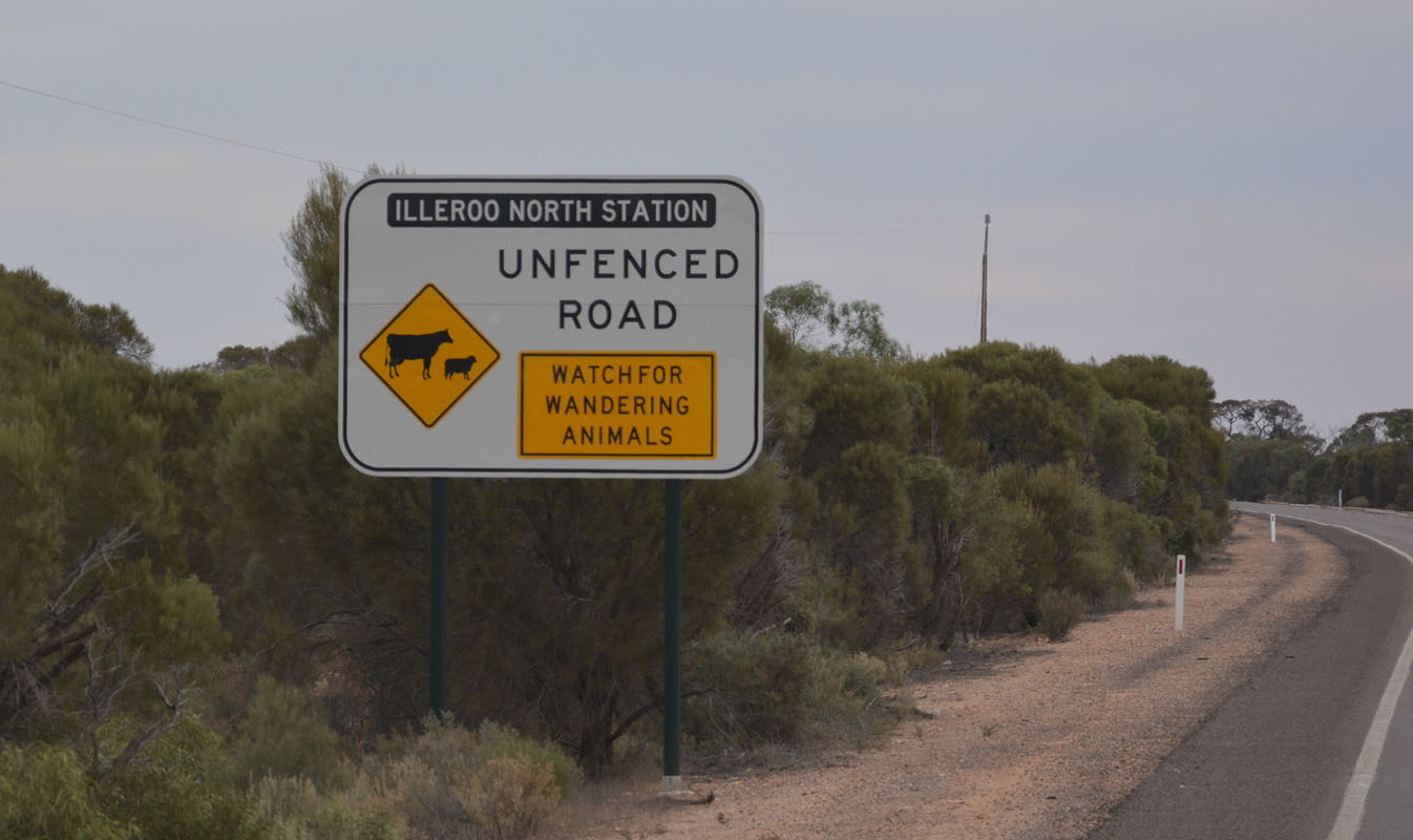
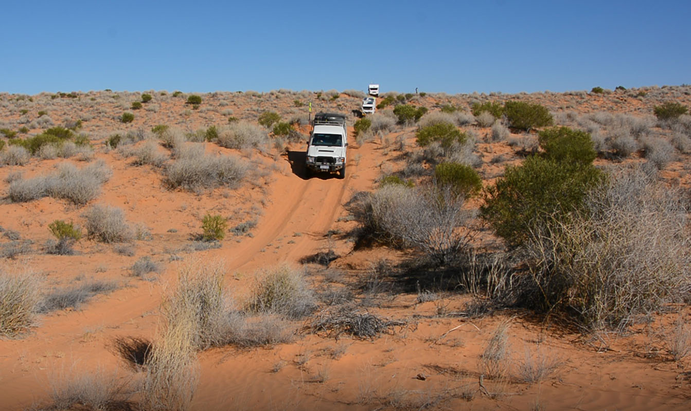
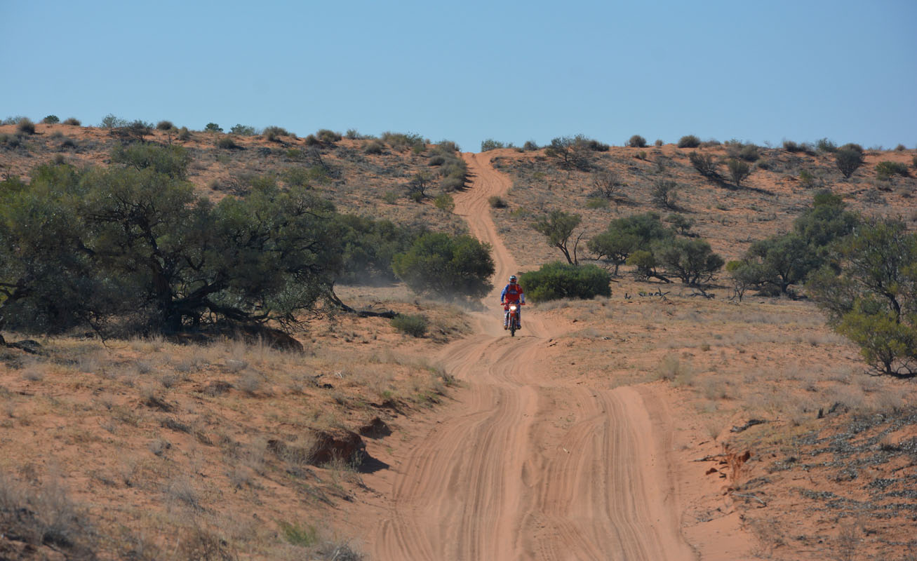
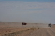
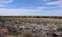
We come past some known landmarks .... Corrigin's dog cemetery .... Dog-in-a-ute (1325 dogs in utes in 2005!).... Kulin's tin horse highway .... Wave Rock in Hyden ...
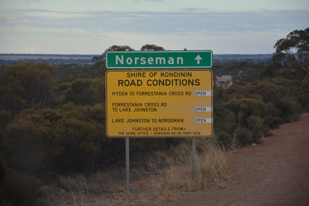
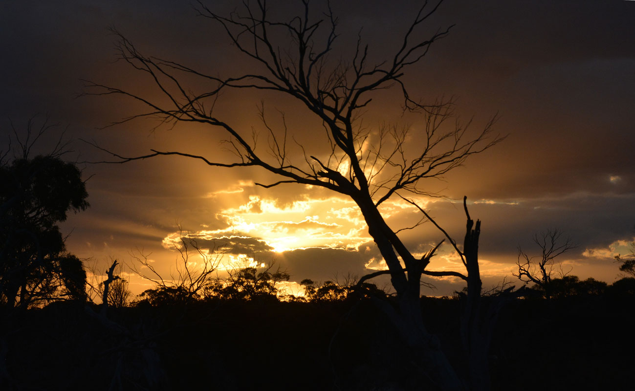
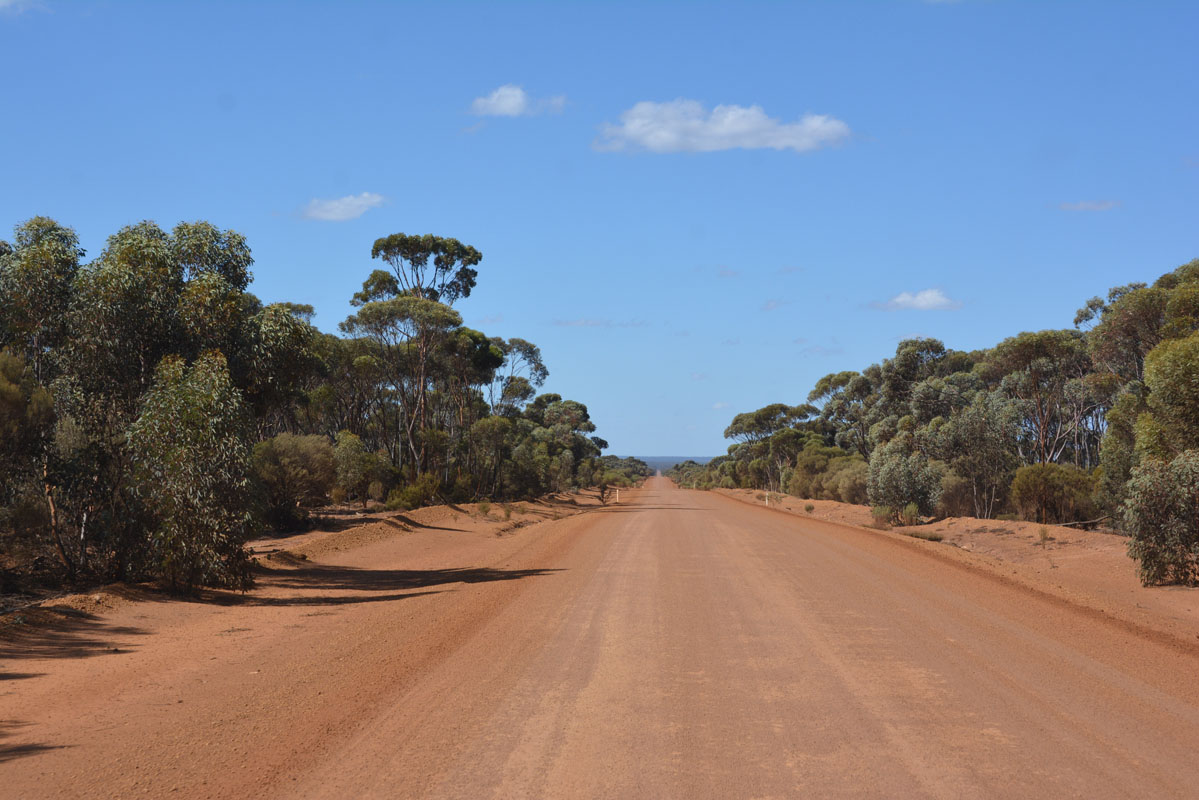
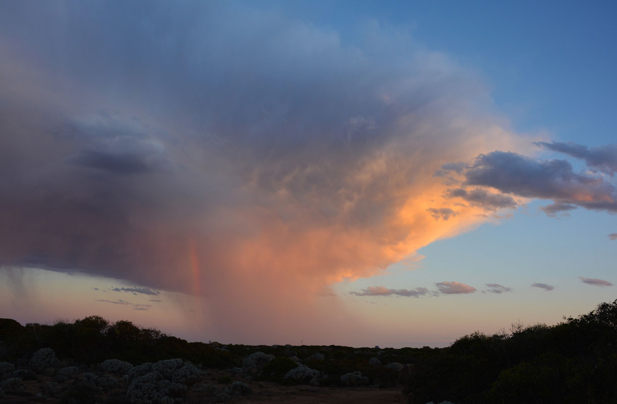
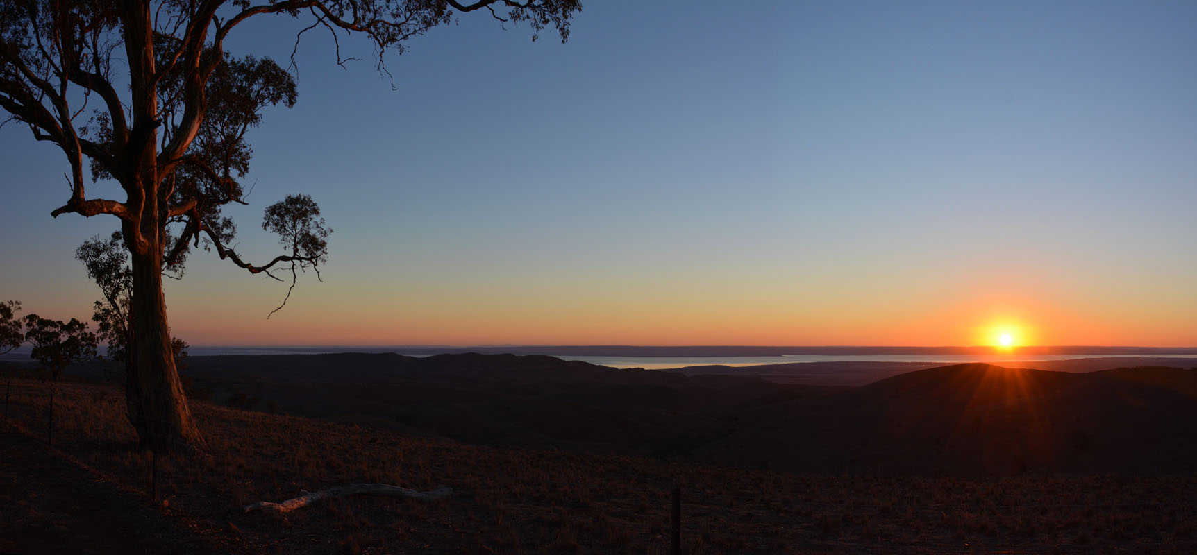
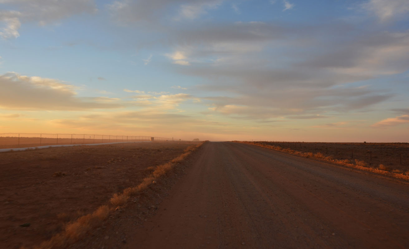
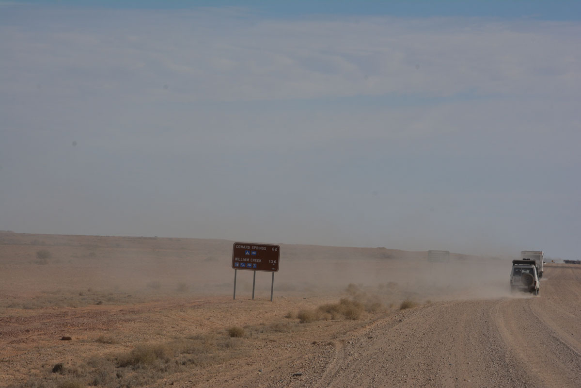
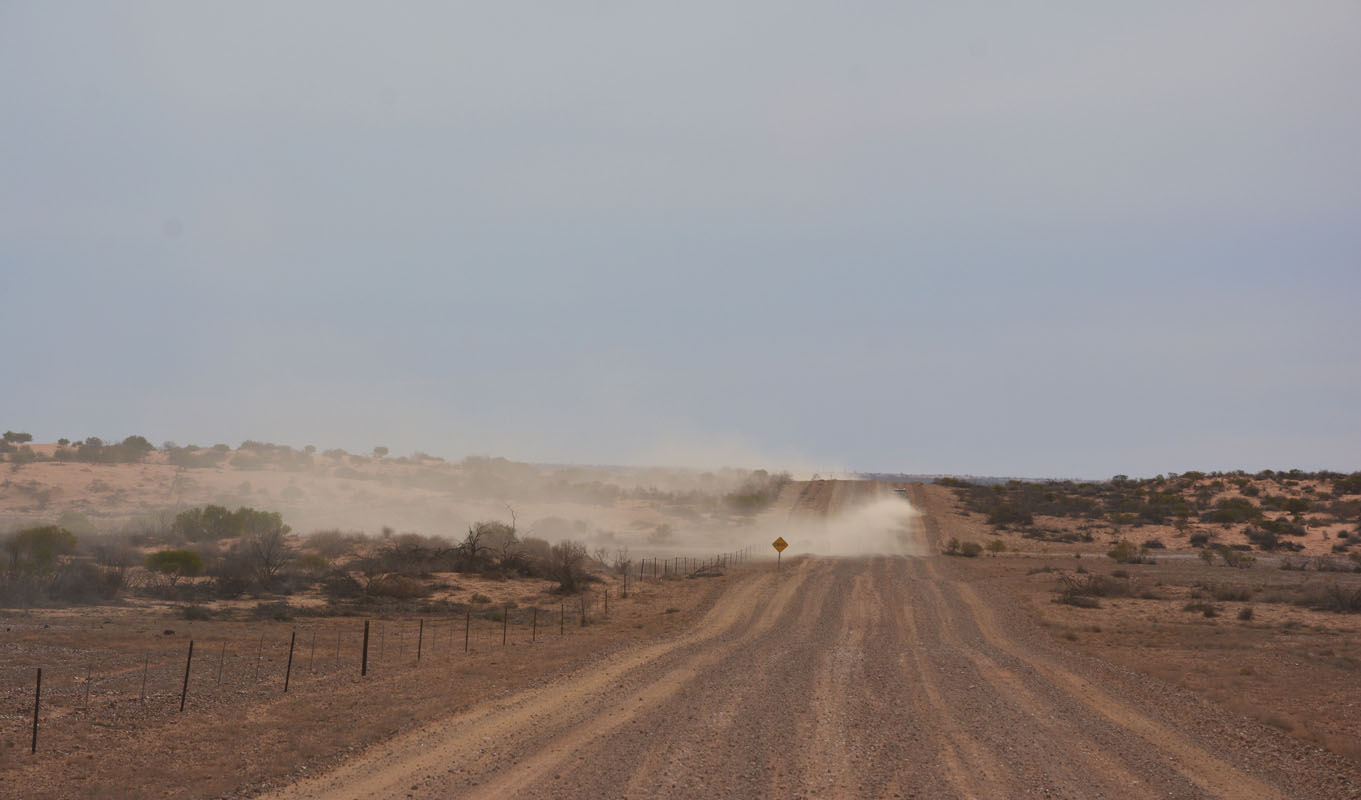
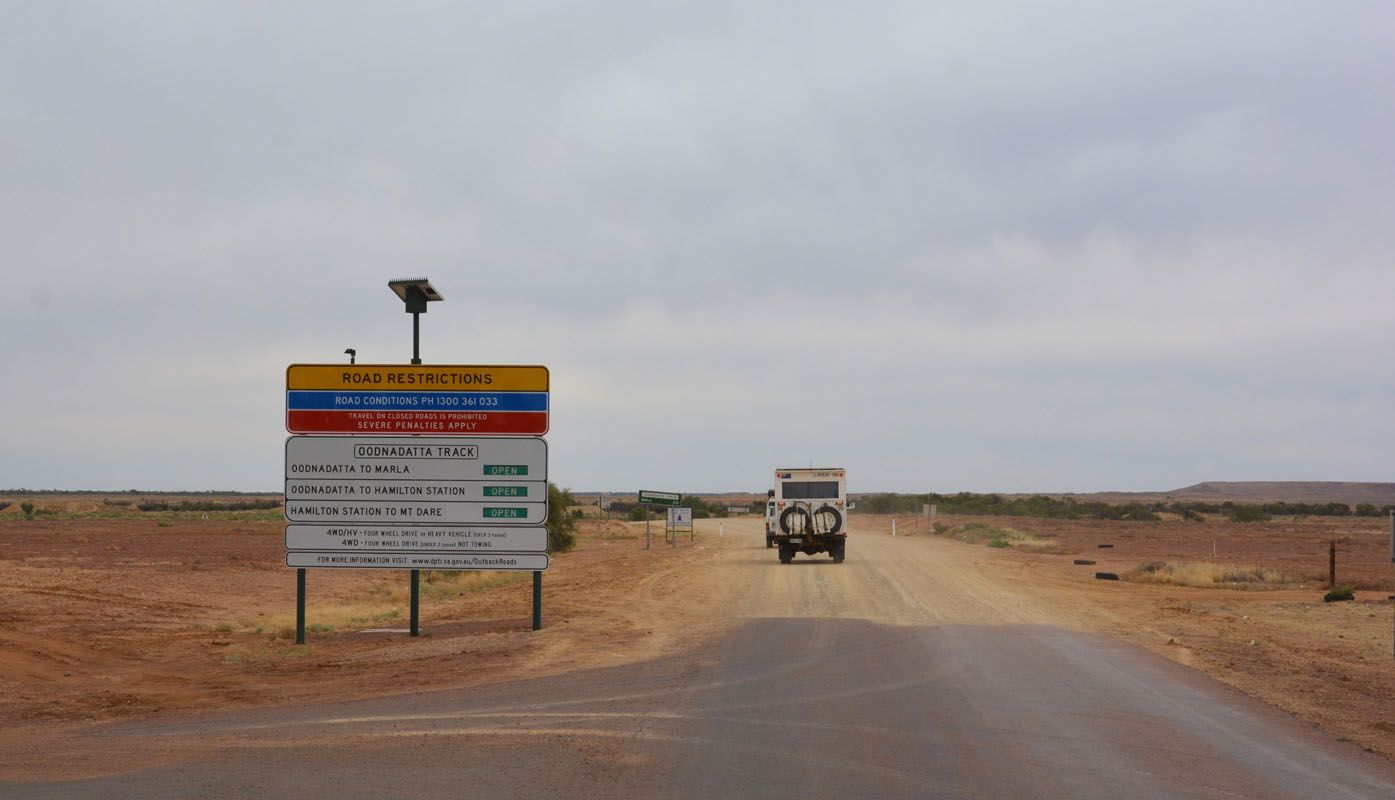
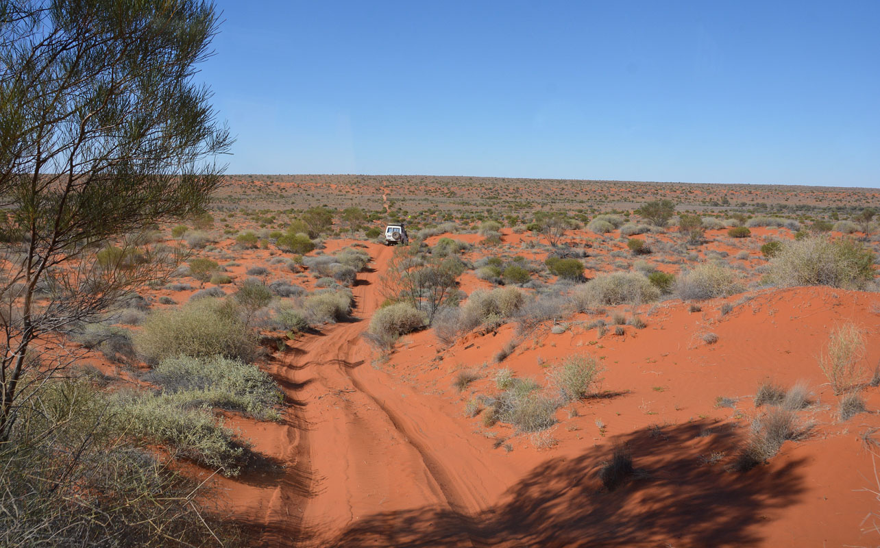
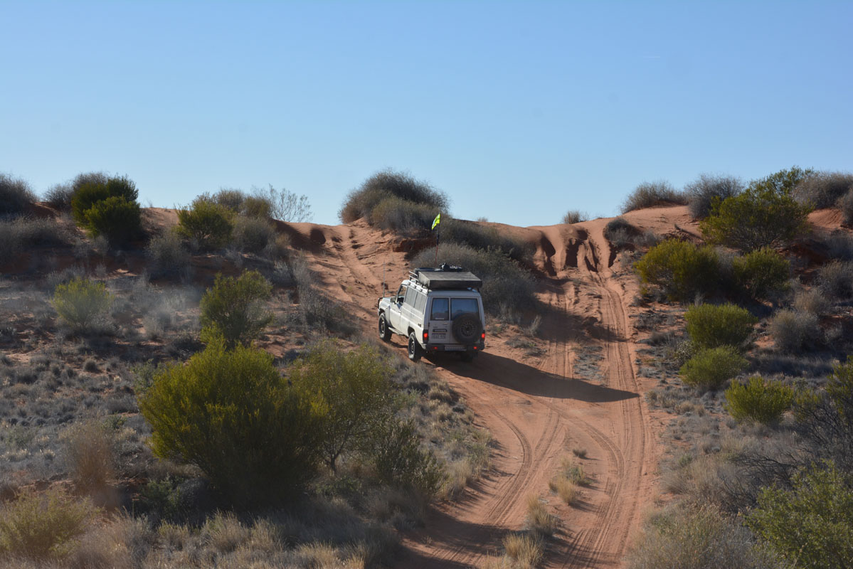
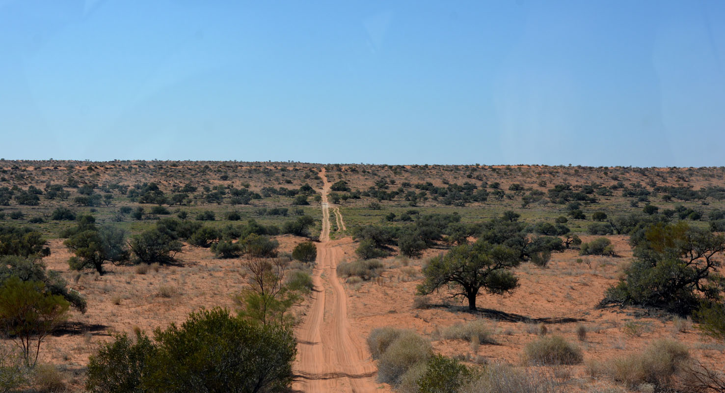
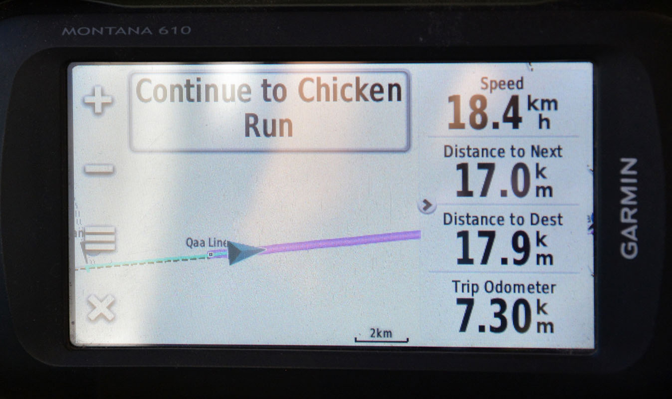
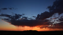
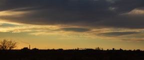
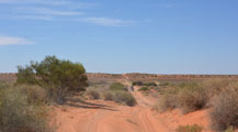
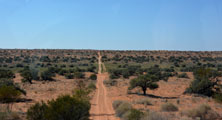
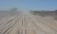
After passing Hyden we take the East Hyden Bin Road that will take us to Norseman via Forrestania where we stop for the night.

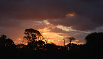
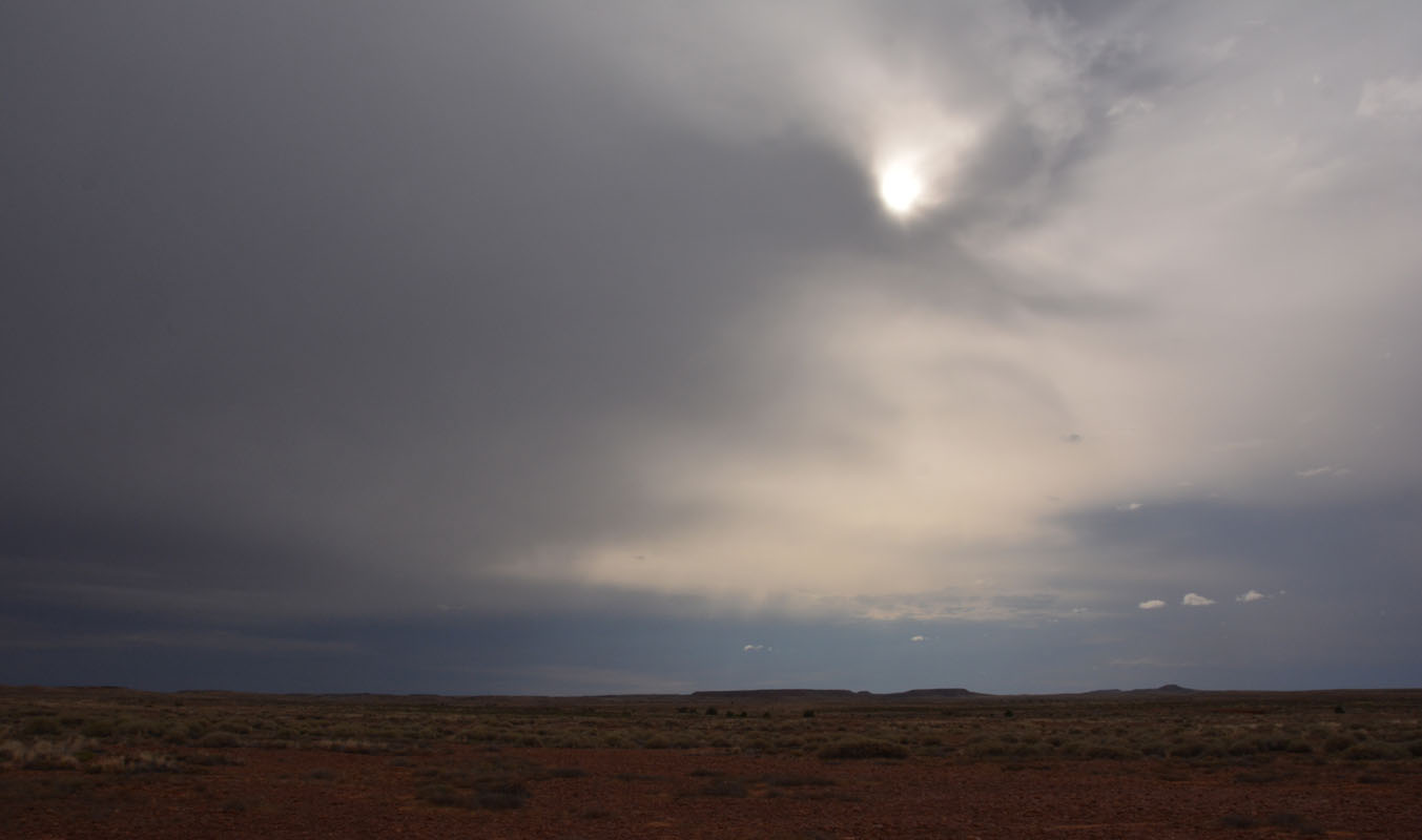
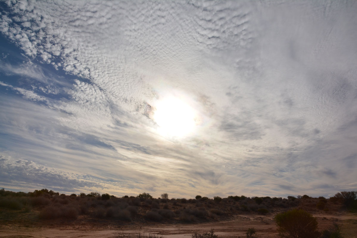
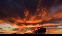
Let's hope this interesting sunset means nice weather tomorrow ..... one should not drive on the dirt road in rain!
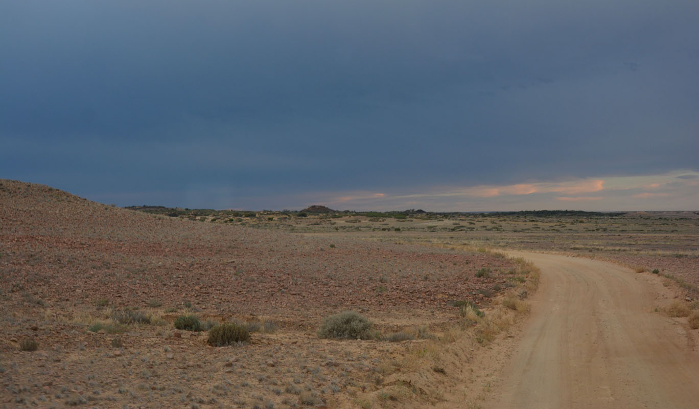
On Tuesday, April 19th, we wake up to 9.5°C and a slightly overcast sky.
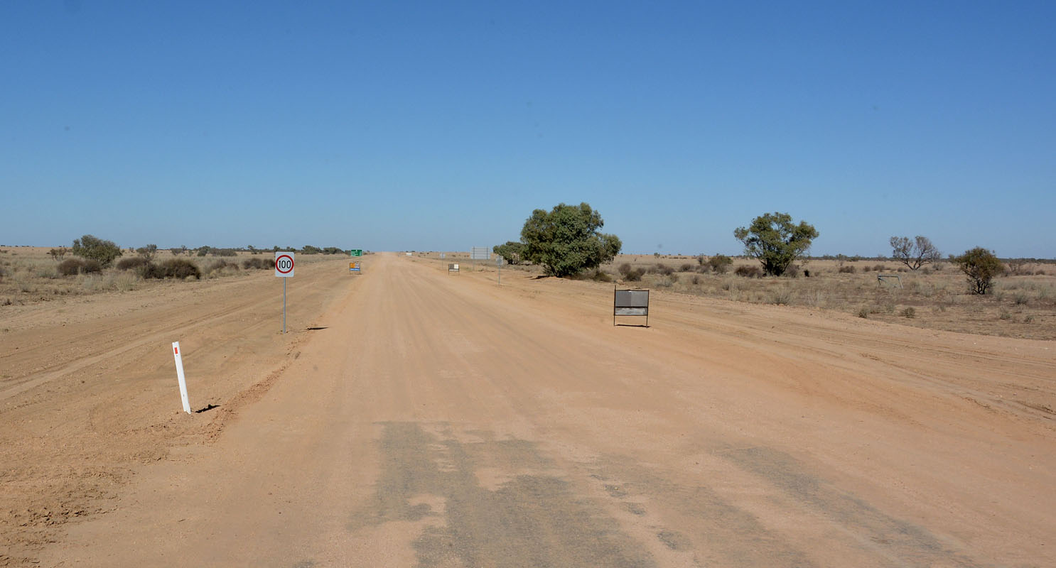
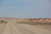
But it does not look like rain so we continue towards Norseman on the Hyden-Norseman Road.
The sealed part is now almost to the crossing of the Holland Track.
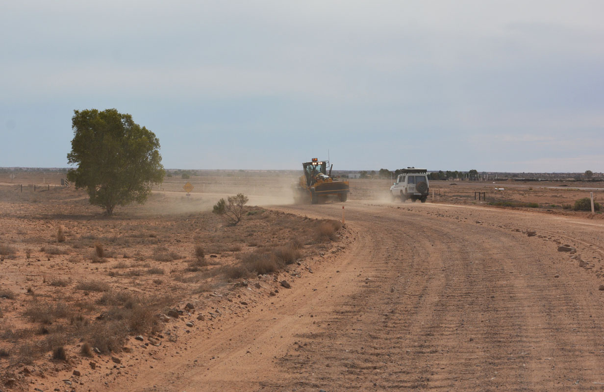
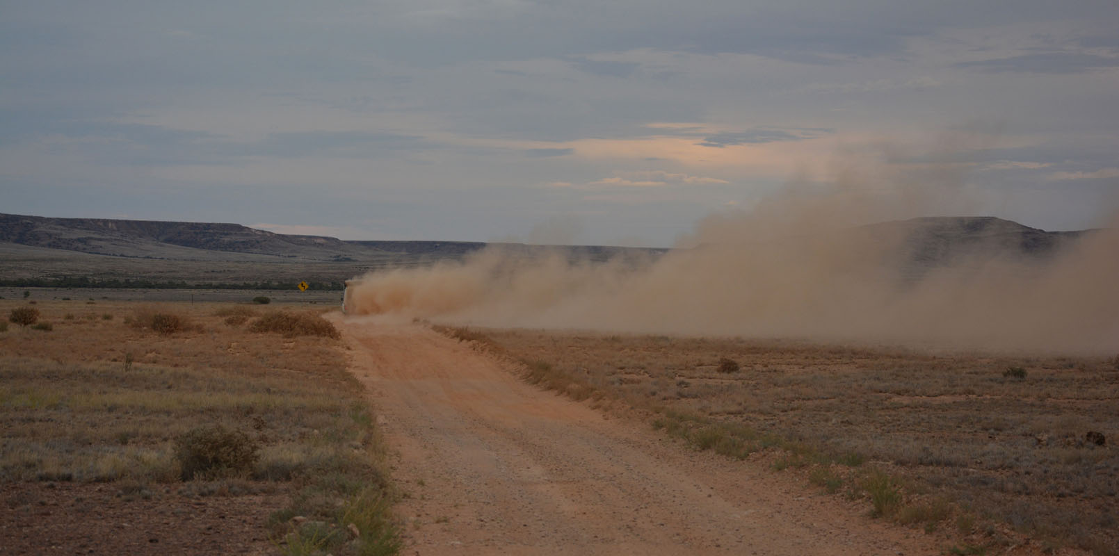
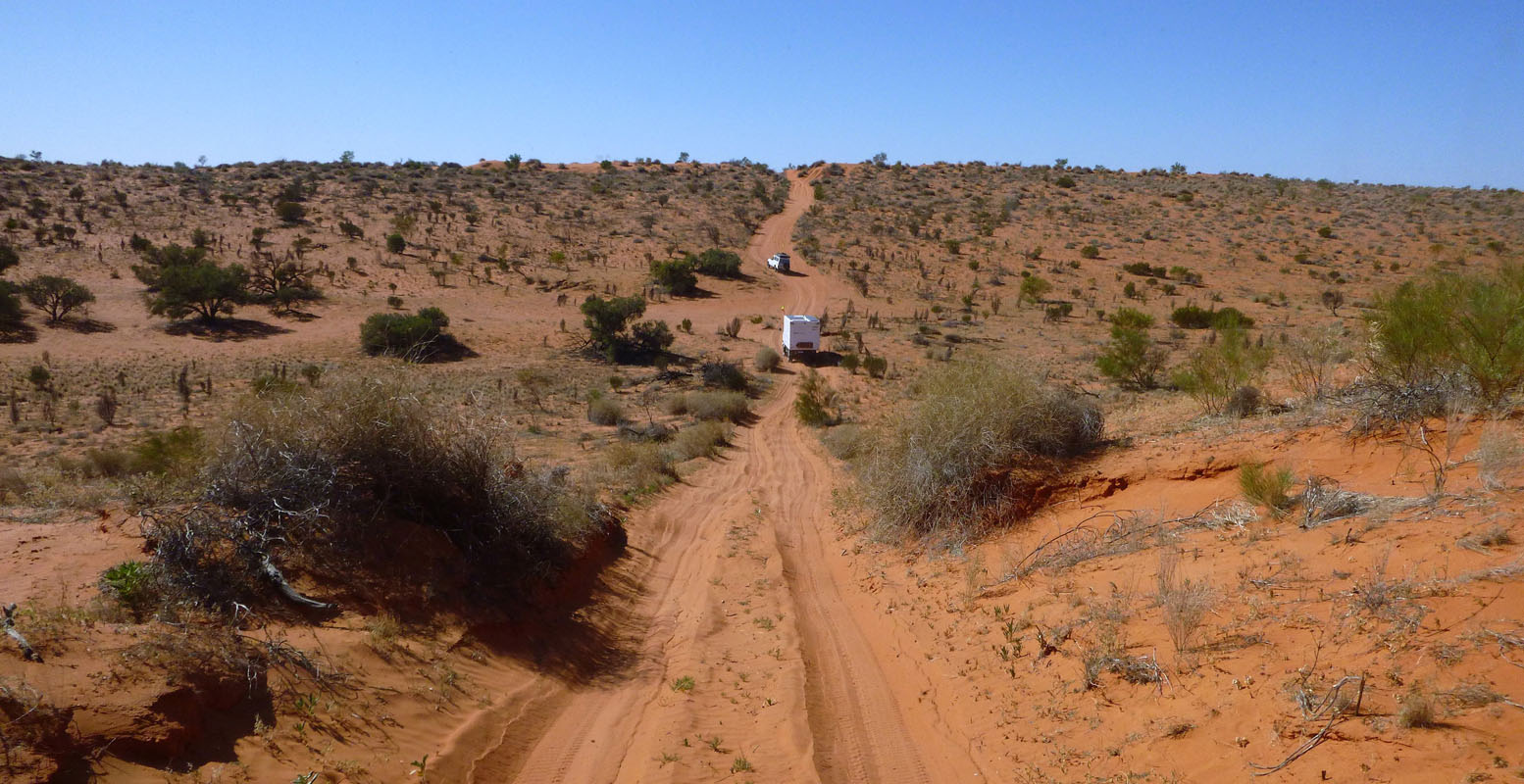
Then the dirt road has a bit of corrugation but not really bad.
After passing the Forrestania Mine the road is used by the mine's road trains and is really good and freshly graded.
The more east we get the better the weather gets and there is more sun than clouds.
We actually see 26°C on the thermometer.
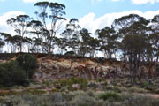

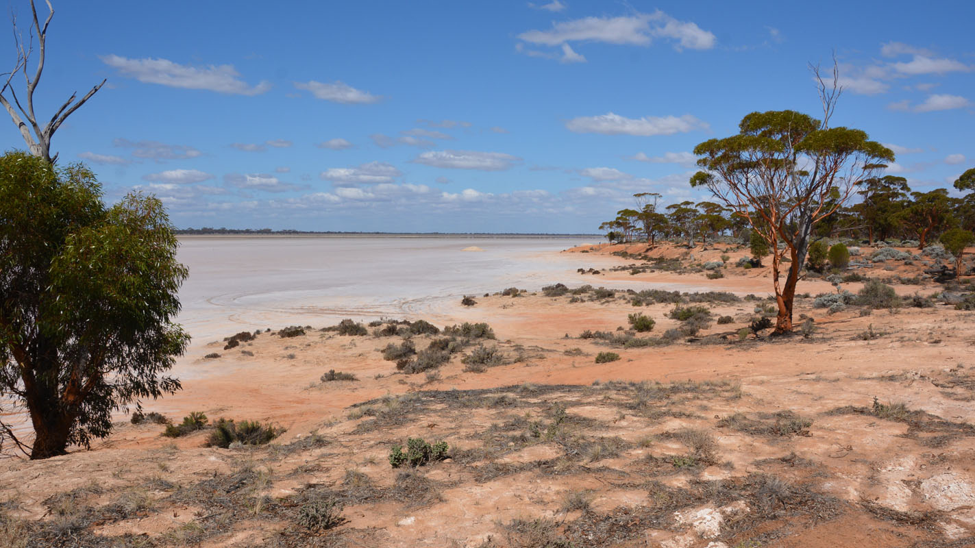
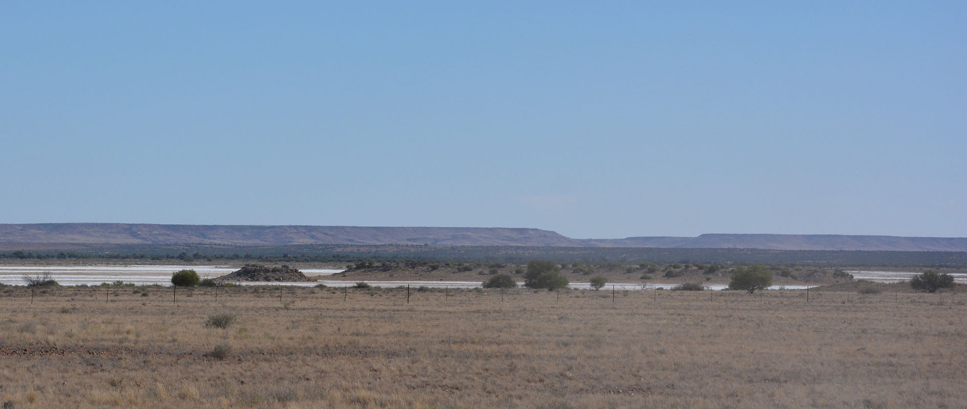
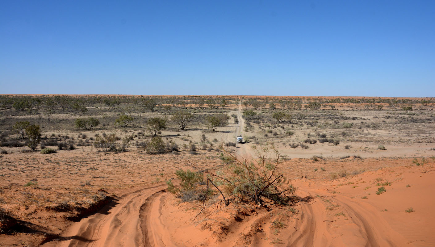
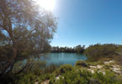
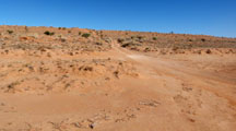
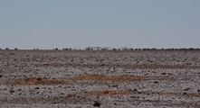
We stop at the Breakaways .... and at Lake Johnston.
After Disappointment Rock large areas of bush have burned.


It is always amazing to see how these burned trees recover and start having fresh leaves again!
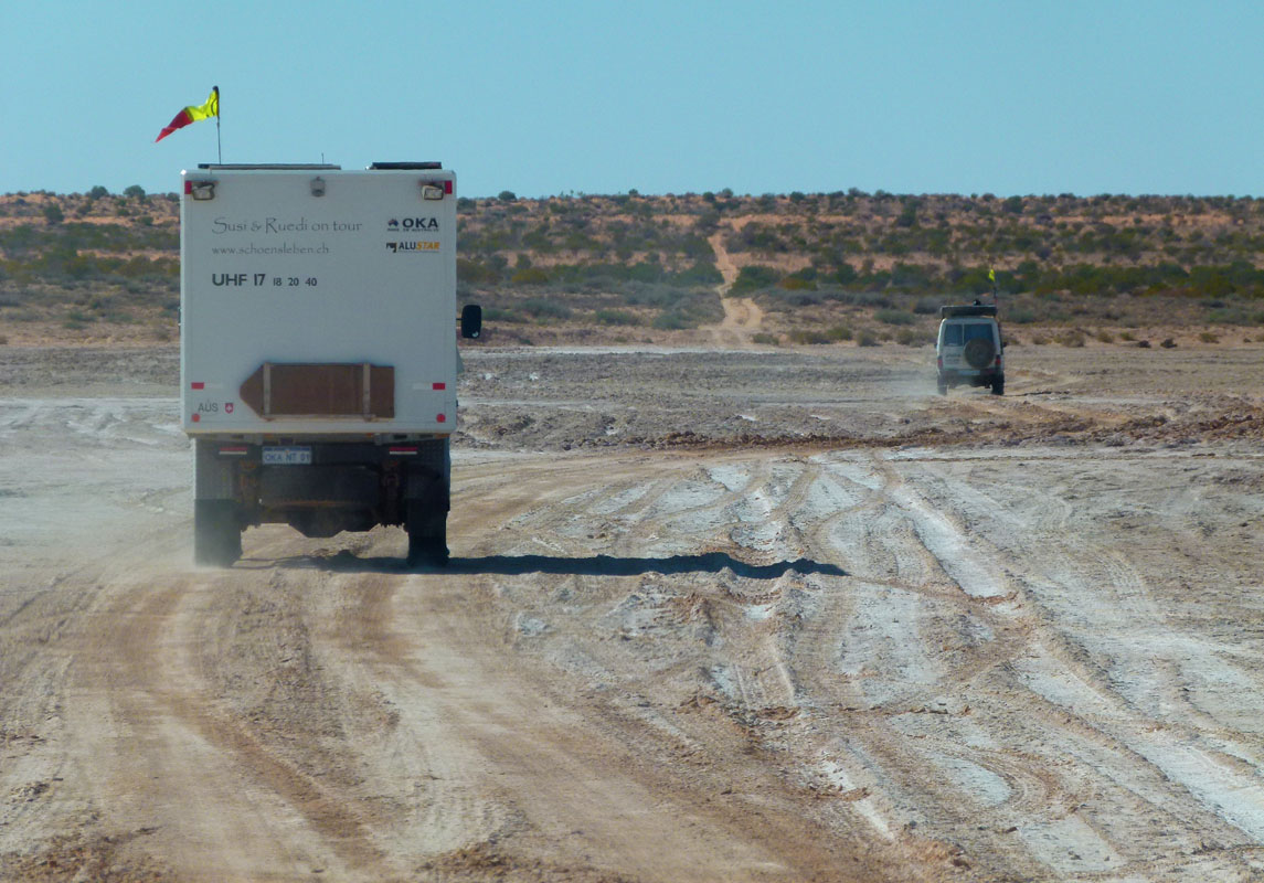
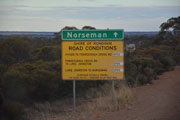
In Norseman we fuel up at the Caltex.
Bad luck ... they don't take Everyday rewards card ....
When we pass the BP we see trucks lined up ... diesel is almost 10 cents cheaper ...

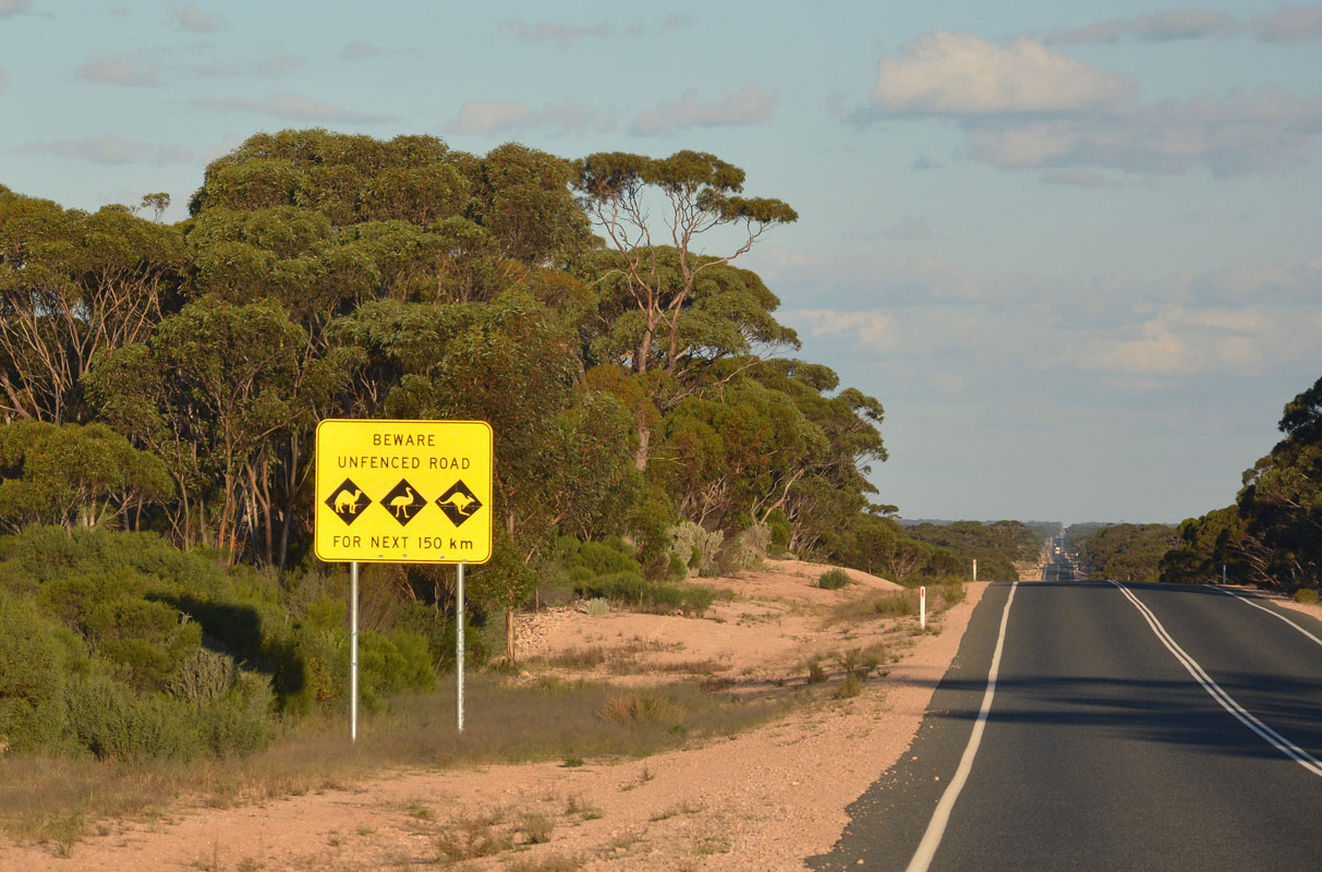
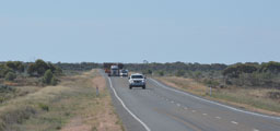
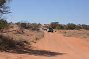
We get onto the Eyre Highway and head east.
We drive until shortly after the Balladonia Hotel / Motel and stop at the rest area.
We take a small track that leads into the bush and find some nice small camp sites where we stay for the night.
It is a bit noisy ......
On Friday, April 20, the weather is overcast but mild with 17°C.
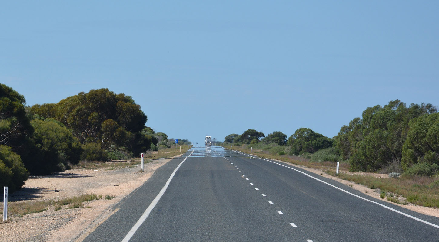
As we continue east there are patches of fog and the road is even wet.
The vegetation is green and looks as if there had been some rain recently.
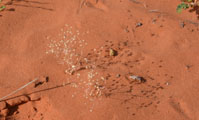
We stop at the Caiguna Blowhole.

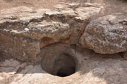
It is not working but some other travellers tell us that they have seen it in action, "breathing" .....
The information-text is quite interesting.
Here some extracts:
 |
The blowholes on the Nullarbor have been formed by weathering through to underground cavities. The cave below here has clearance heights of about 0.5 - 1.5m.
All caves breathe to some extent. Nullarbor caves breathe more vigorously than caves in any other area in Australia.
Air movement at one cave entrance on the Nullarbor has been measured to be about 72km/h.
A cave breathes out when the air pressure falls and breathes in when it rises.
Speed of breathing is related to the cross-sectional area of a cave's entrance (and to the volume of air contained in the cave). Air movement in large cave entrances can be almost impossible to detect. |
 |
About 20 or so of the caves on the Nullarbor are of impressively large size, and in some
cases have many kilometres of spacious passages. A few of the deeper caves contain remarkable lakes and extensive underwater passages.
The Nullarbor is the driest karst (limestone) area in the world.
If rainfall on the Nullarbor was higher, the limestone would show very much more water weathering, the ground surface would be far less uniform, and there would be steep-sided valleys as in wet karst areas of the world.
How dry is the Nullarbor?
Day-time summer temperatures on the Nullarbor can be high (very occasionally as much as 45°C), but there is always a certain amount of relief from the moist winds blowing inland off the sea.
Average rainfall though, is always low, usually less than 250mm/year. Sporadic heavy rains occur about three times a year. (As in other arid regions of the world, the lower the rainfall, the less predictable it is.) |
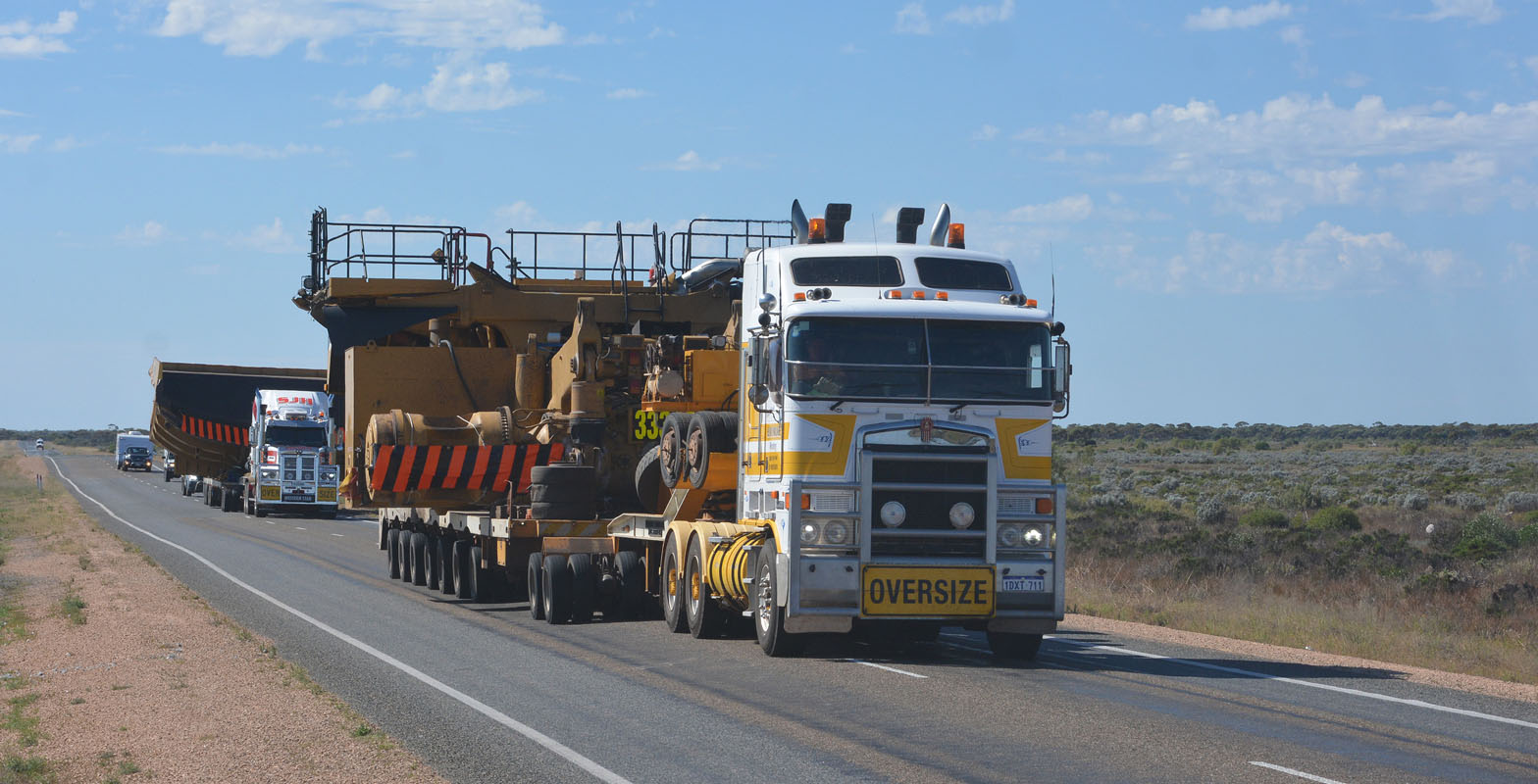
The radio starts crackling .... an oversize transport is coming towards us.

When we see the size of it we even get a bit more off the road ...
We reach Madura Pass where the Eyre Highway descends from the Hampton Tablelands to the Madura Roadhouse.
The view down from the Madura Pass into the flat reminds us of Africa .... just the giraffes are missing .....
It is quite warm with 31.5°C.


The road looks as if it has water on it ... the vehicles are even mirrored on it!
At Mundrabilla Roadhouse they advertise cheap fuel but at 1.789 per litre (Norseman was 1.599, Perth was 1.399) we decide to check the price in Eucla.
In Eucla we "climb" up to the tableland again.
The fuel price is the same as at Mundrabilla Roadhouse.
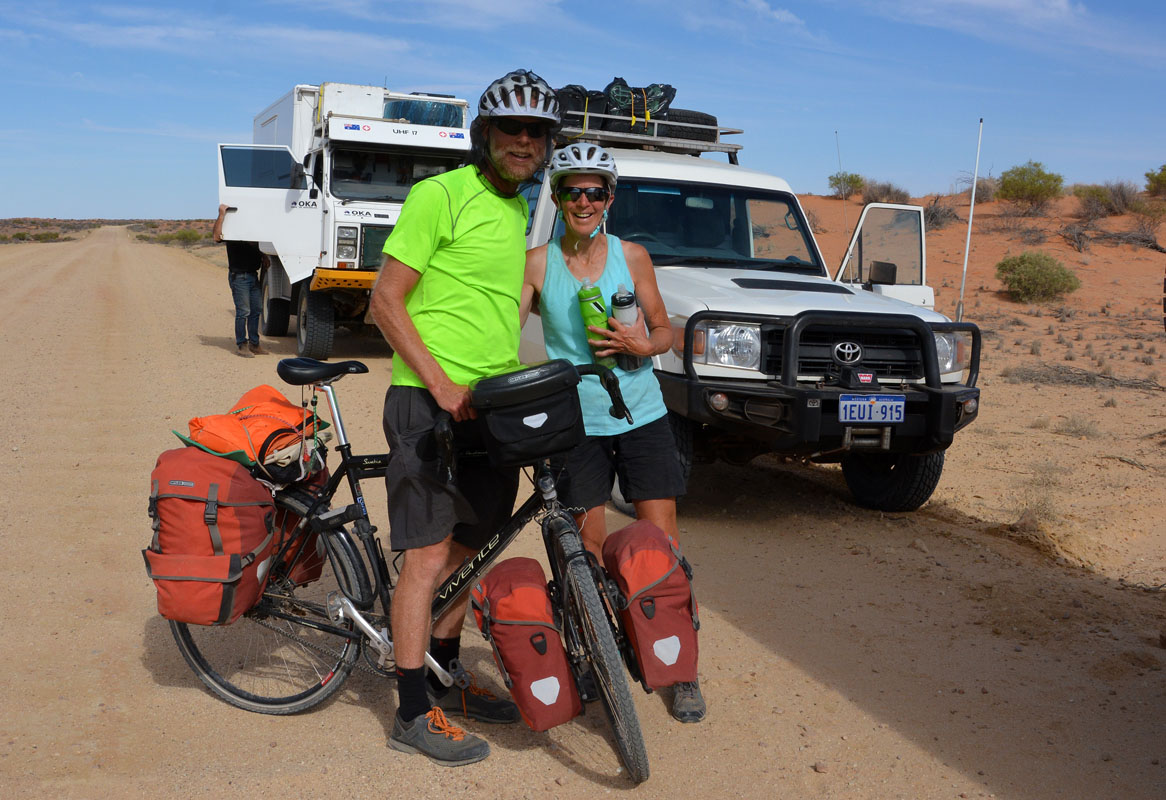
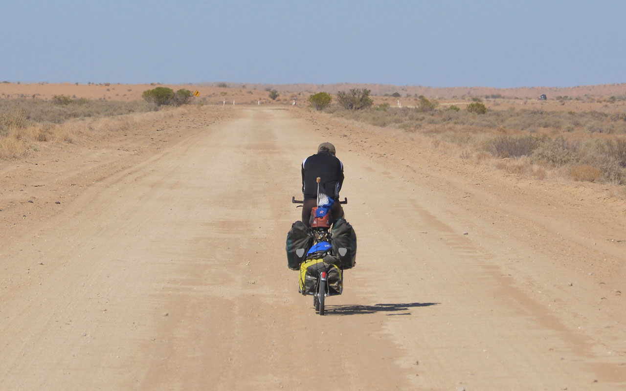
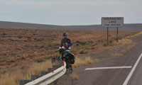
We see a bicycle ..... tough job ...
Later on, in different spots we see 3 more bicycles ... all on their own, fighting the endless kilometres ....
We cross the border into South Australia at the Border Village (no quarantine for eastbound vehicles) and find ourselves in the Nullarbor National Park.
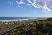
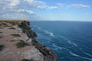
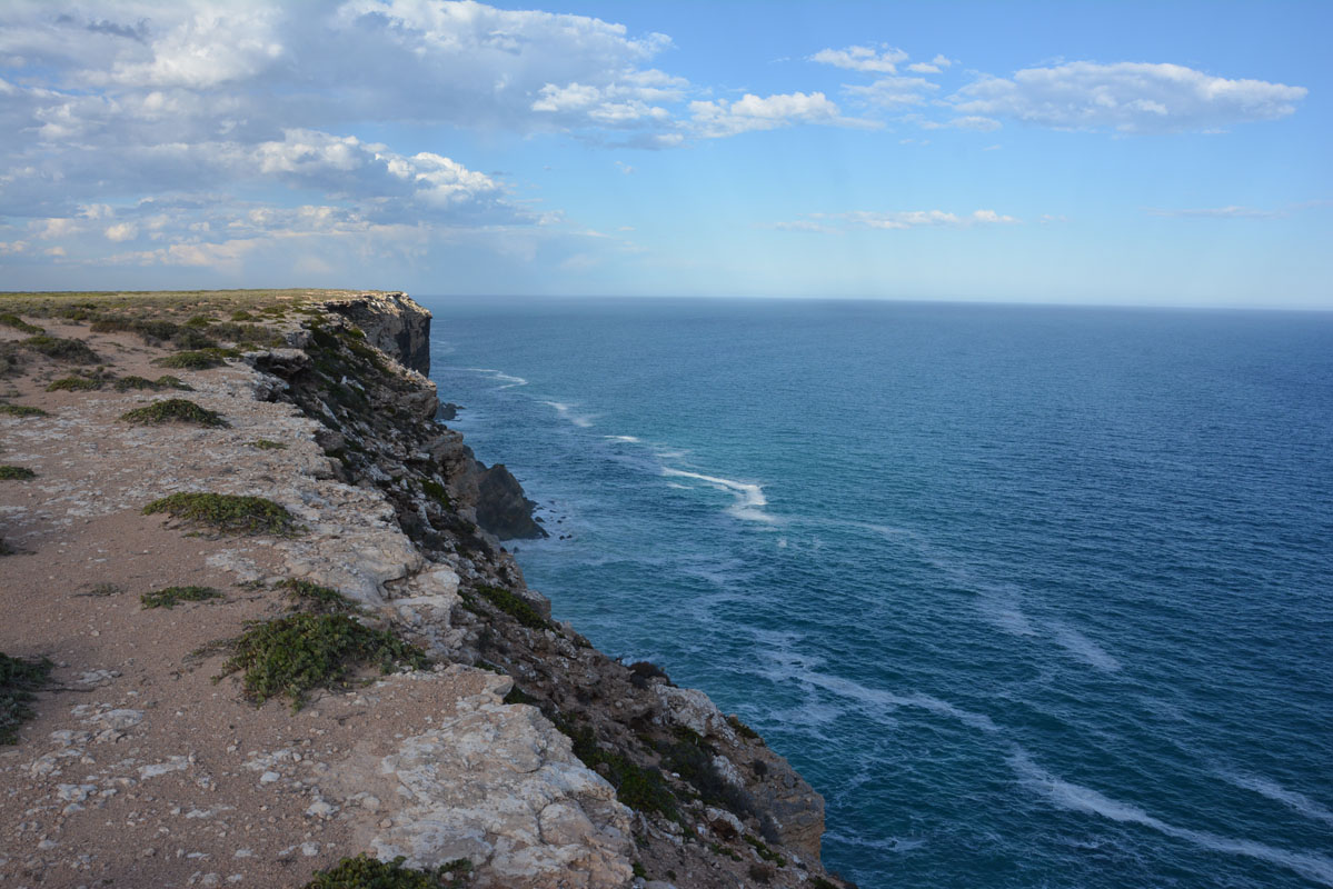
The road follows the ocean and there are many lookouts.
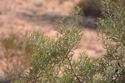
The vegetation is scrub ... no trees .... Null-arbor ....
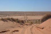
We look for a nice lookout for the night but many of the tracks have been closed off.


As there is a thunderstorm coming and we don't want to get caught in the soft sand we decide to go for the better track that leads to the microwave tower .....

On and off it rains a bit and some nice lightning can be seen.
During the night the temperature drops to 13°C.
On Saturday, April 21, we wake up to 22.5°C and 85% humidity.
The OKA is covered in condensation all over.
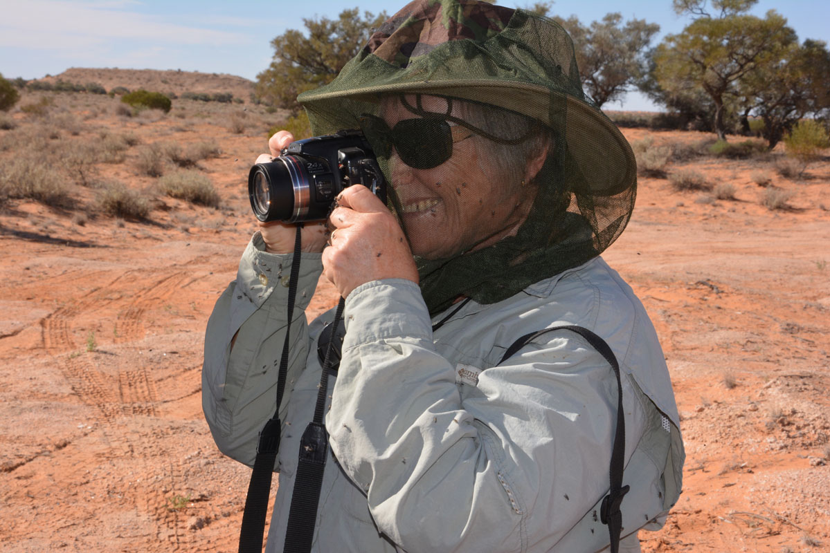
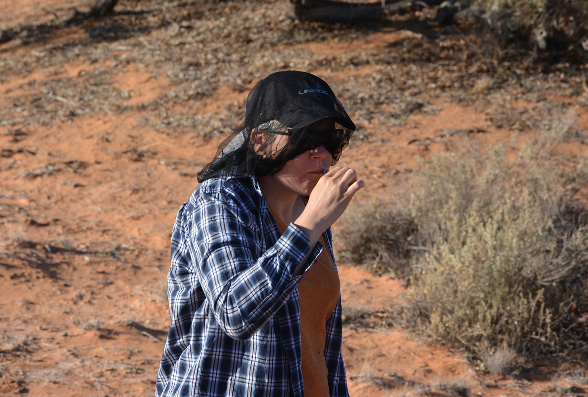
It feels like in a sauna and the flies are going crazy!
We continue on towards Adelaide.
The vegetation gets smaller and smaller.
We see a sign indicating that we have reached the western end of the Nullarbor .... and there are no more trees or bushes ... just a flat plain with grass and small vegetation ....
It gets warmer and warmer.
At lunch we see 33.5°C ...!
We don't mind it, we are not ready for winter yet!
We dispose of all fruit and vegetables and head into Ceduna for quarantine.
After a quick look into the fridge we can continue.
The fuel price has reached normal levels again so we fill diesel at the BP for 1.449.
On the way out of town we pass the Liberty .... 1.399 ... later on the Puma 1.339 but only for trucks ....
After Ceduna the traffic picks up, we have reached civilization again!
BTW:
Should you have a phone SIM from Aldi (supposed to be Telstra ....):
Most of the way we had some good reception on our Telstra SIM, but the Aldi-Telstra SIM ..... nothing .... SOS only .....
We continue on the Eyre Highway.
It now heads inland and the temperature rises to 35°C.
But as the air is dry it is quite ok.
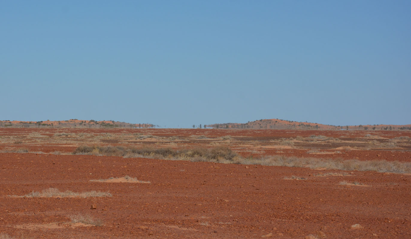
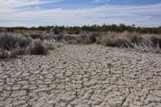
It is agricultural land.
But the fields are yellow and dead.
In Spring it would be another story ... all the different greens, maybe some yellow ....
In Widunna we want to go shopping in the local Foodland.
Even though the town is one of the larger ones around here it is deserted .....
Hmmm ... do they have siesta like they used to have in South America ....?
No, it is simply Saturday afternoon and country towns close shop for the weekend at noon!
So we head back to the Eyre Highway.
Tonight's dinner will be some tinned stuff.
At Kyancutta we turn east and stay on the Eyre Highway.
Shortly after Kyancutta we find a rest area in a small forest and stay for the night.
On Sunday morning, April 22nd, we wake up to another sunny day.
The 13°C soon change to warm 30°C .... later on, even to 35°C .....
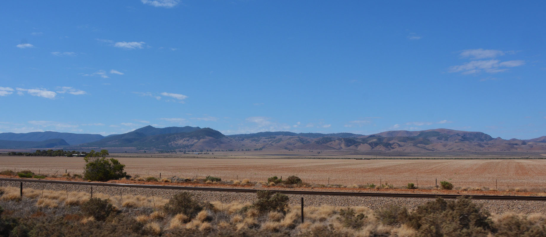
We continue on towards Port Augusta.
The country side is often quite hilly, probably overgrown sand dunes.
Today there is a lot of traffic, plenty of caravans and off-road vehicles heading west.
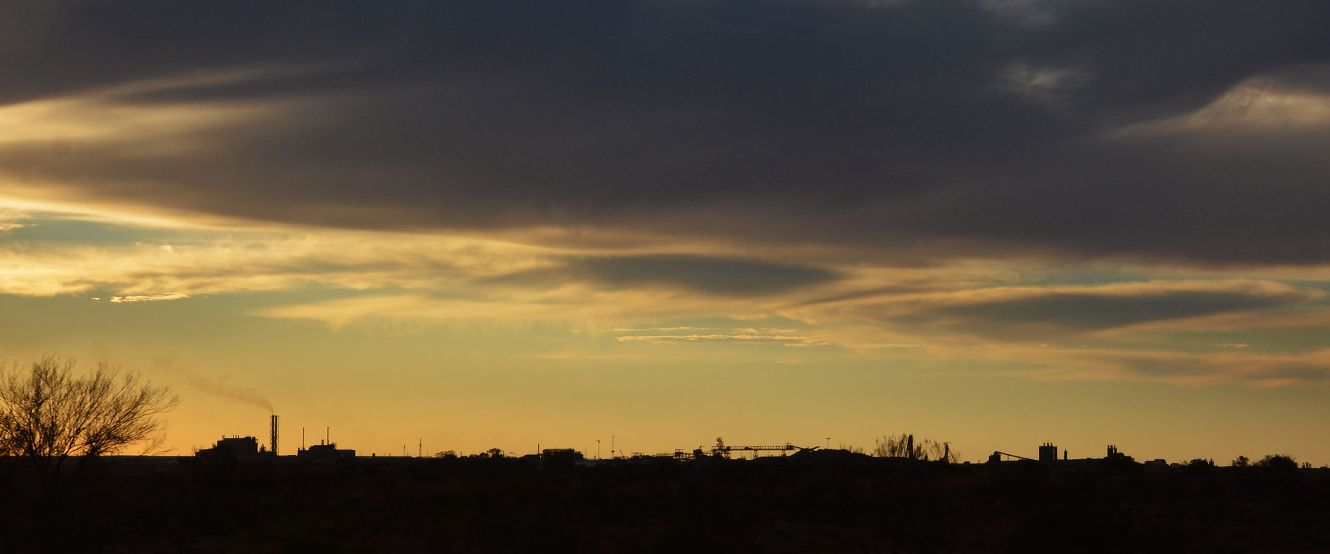
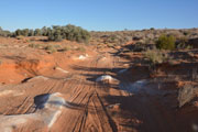
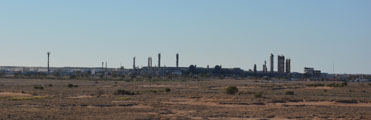
We come past the Iron Knob mine which has grown a fair bit since we were here ... still not a pretty sight.....
In Port Augusta we go shopping.
Both Woolworth and Foodland (IGA) are open on Sundays ... and there are plenty of travellers stocking up.
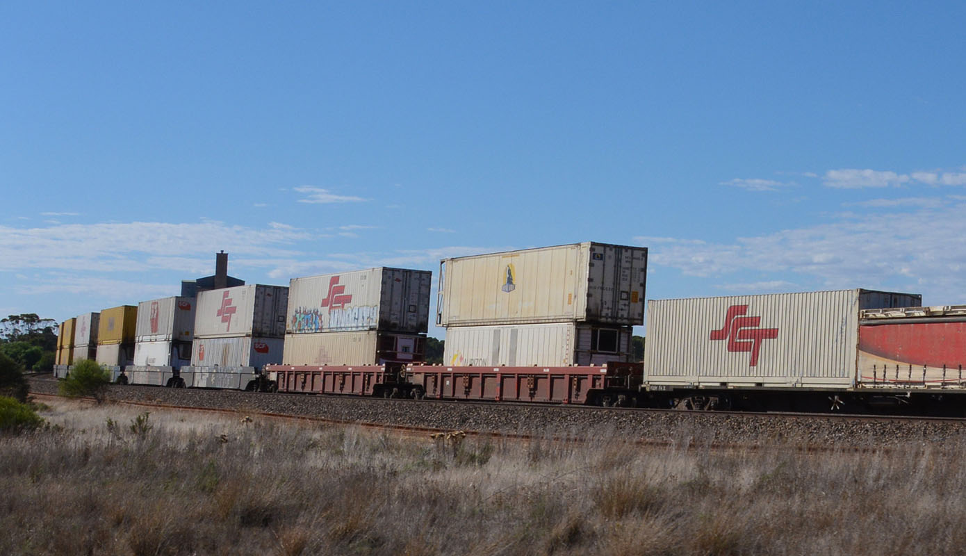
We take the Princes / Augusta Highway towards Adelaide.


We travel more or less parallel to the railway track.
We see "double containers" ... two containers on top if each other ....
On all our trips around the world we have only seen this in Panama and in South Australia / Northern Territory.
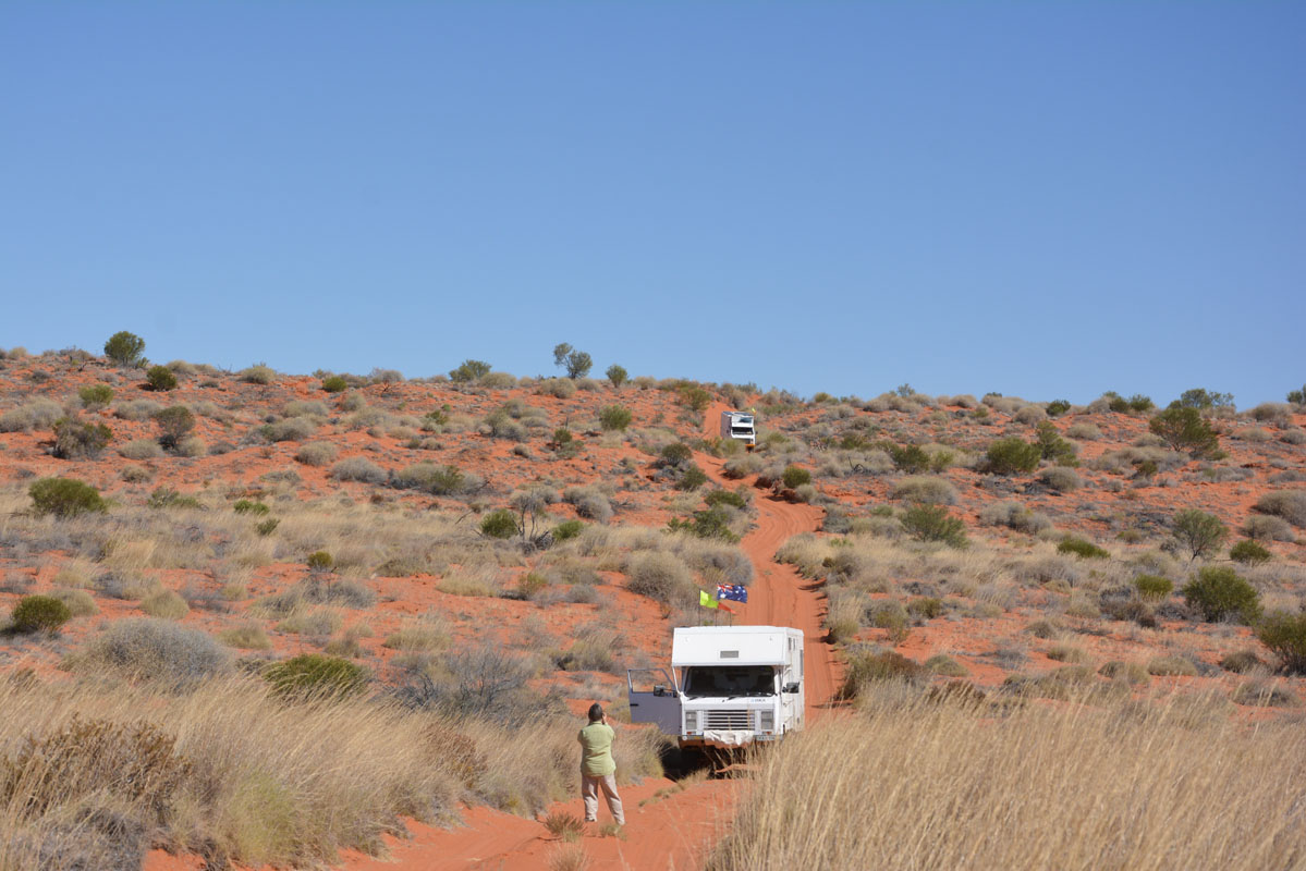
We reach Adelaide and the GPS sends the OKA on the A17 and the narrow Belair Road up to Blackwood .... not to our liking ....
(photos: P&M)
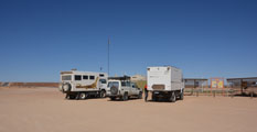
Then we reach Peter & Margaret's home and settle in for the next few days.
On Sunday, April 29th, our Swiss travellers Gioia & David arrive at the airport.
They will pick up their camper tomorrow.
This means that we spend a few hours today getting all the non-perishables .... for 4 weeks!!!!
None of us has that experience ...... the longest we have been without shopping possibility is 2 weeks.
Later in the afternoon we head back to Margaret & Peter.
Margaret is still cooking up a storm, packing, cleaning the house ...... but she manages to finish all and we are all set for tomorrow.
On Monday morning, April 30th, we meet Gioia and David at Citywide Detailing, where they pick up their TCC camper.

The camper is ready and well equipped.
The only issue is that is does not have water tanks.
So we head to Woolworth to pick up the water (160 lt) and the fresh stuff.

Then we head north on the M2 to Gawler, then on the A32 / B82 Horrocks Highway towards Auburn.
Traffic quietens down and we share the road mainly with tourists.
The Clare Valley like the Barossa Valley is full of wineries.
The towns are lined with pretty old houses with rose gardens.
There are many wine trails e.g. the Riesling trail ... could be interesting ....
We drive past forests, sheep, grapes ...
We continue on the Horrocks Highway past Clare, Gladstone, Laura ... finally Melrose and Wilmington.
Shortly after passing Wilmington we turn off towards Hancock's Lookout.
As it is late afternoon the Wallabies (Black Footed) and the Kangaroos (Greys) are out in force.
Gioia and David are so lucky to see so many on their first day out in the country!

We reach the lookout just in time for the sunset.
Peter and Margaret are already here.
Quickly the night sets in and Gioia and David still have so much to organise in their camper ......
A few hours after sunset the wind picks up and then changes direction by 180°.
We know that phenomenon from Greece:
during the day the warm wind goes uphill and when the sun sets and it cools down the cooler wind come downhill.
The OKA gently sways in the wind - we love it!
On Tuesday, May 1st, we wake up to a beautiful day.

The view from the lookout ..... just great!
We cross the Horrocks Pass and head down to the Princess Highway.
Instantly the traffic is back!
We head north towards Port Augusta.
We stop at Woolworth for the last fresh food, some roast chicken and coleslaw for dinner, then to Autobarn for the last oils and other technical stuff, to mogas for fuel (1.399; Caltex was 1.499 minus 4 cents Everyday Rewards ...) and off we are.
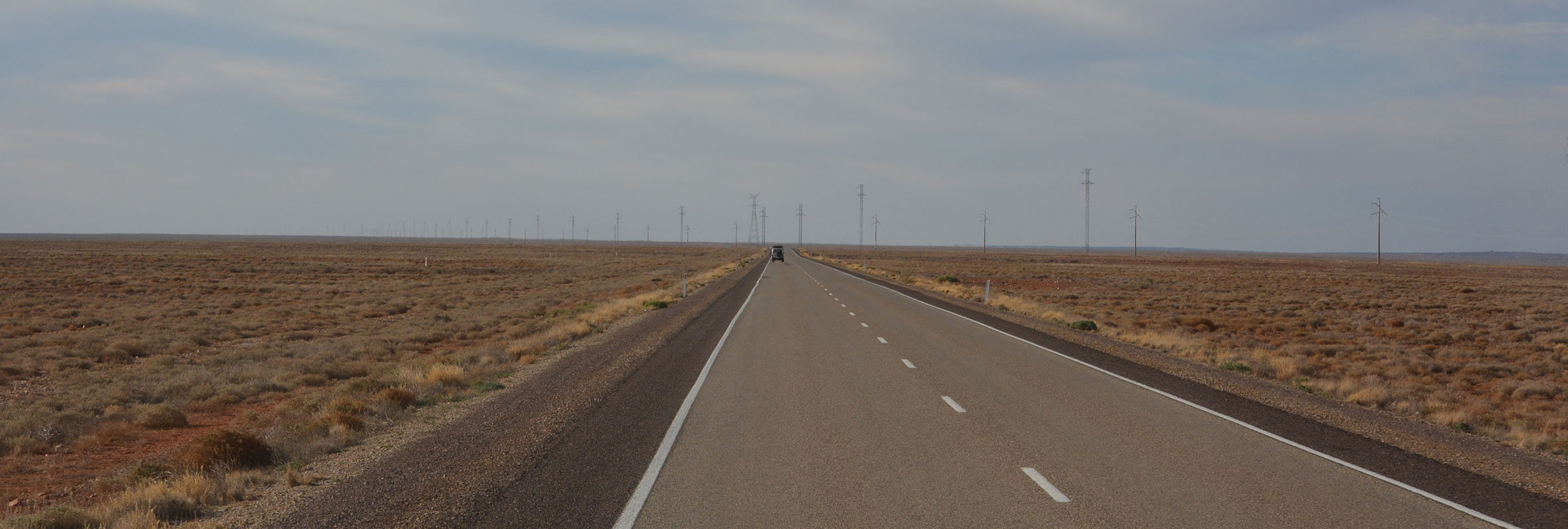
We take the Stuart Highway (A87) towards Woomera.
The traffic tells us that winter is coming .... the grey nomads are out in force!


We can tell when we reach the next stations because of their cattle warning signs.
On some of them the cows have been "edited" a bit .....
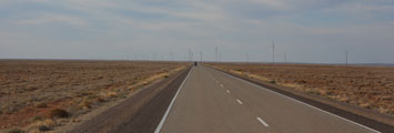
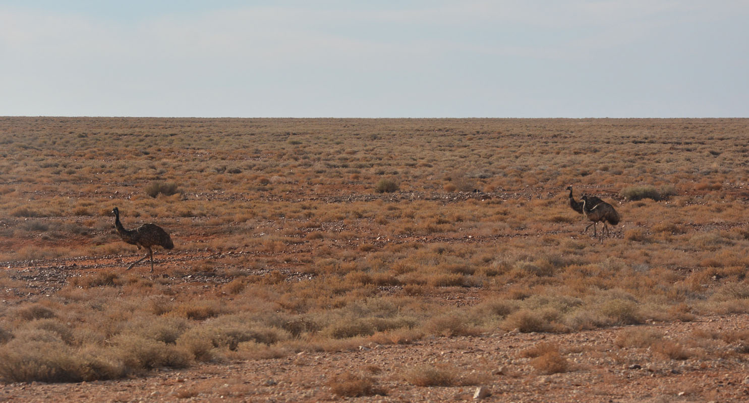
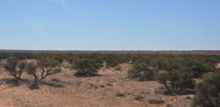
The vegetation gets monotonous ..... manly saltbush ....

................ emus ...............................................cyclists ....

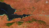
We come past the salt lake where the rockets were launched.
In Pimba we turn north onto the Olympic Dam Highway (B97) and soon reach Woomera.
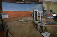
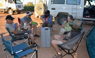
We head into town and visit the museum.
It is 3 PM and the museum closes at 3 PM .... but thanks to Peter and his "communication skills" they stay open till 4 PM.
Well, after all it is another 6 entries!
We continue towards Roxby Downs.
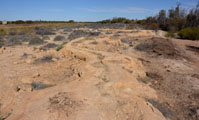
We come past Lake Mary, where the local water ski ... if there is water .....
Coorlay Lagoon is dry too.
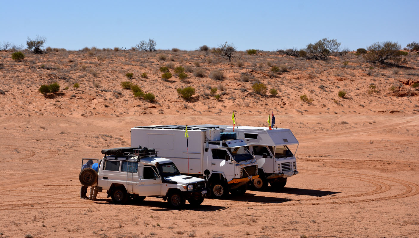
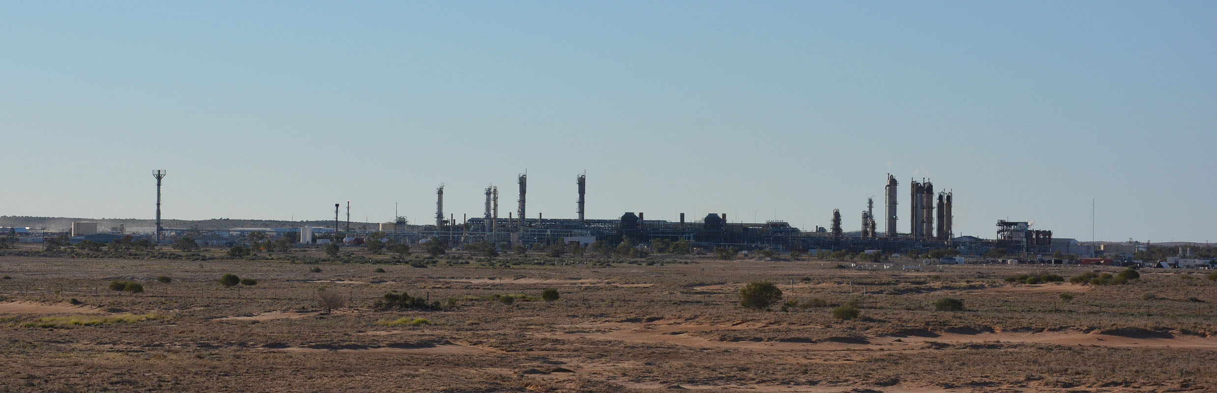
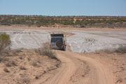
We drive into Roxby Downs to get fuel (BP, diesel 1.619) and continue on to Olympic Dam.
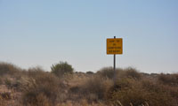
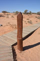
We pass the end of the BHP Billiton lease and stop at the Arid Area with the vermin proof area.
The fence is still intact but the signs have weathered ... 2 are missing .....


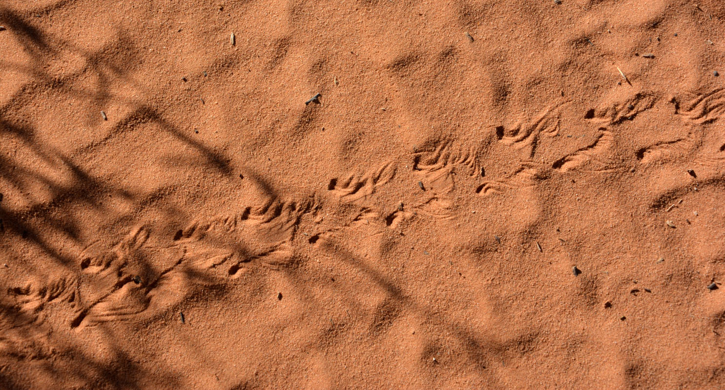
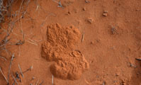
We like the signs with the animal tracks on it.
We will definitely see them ... if we look ....

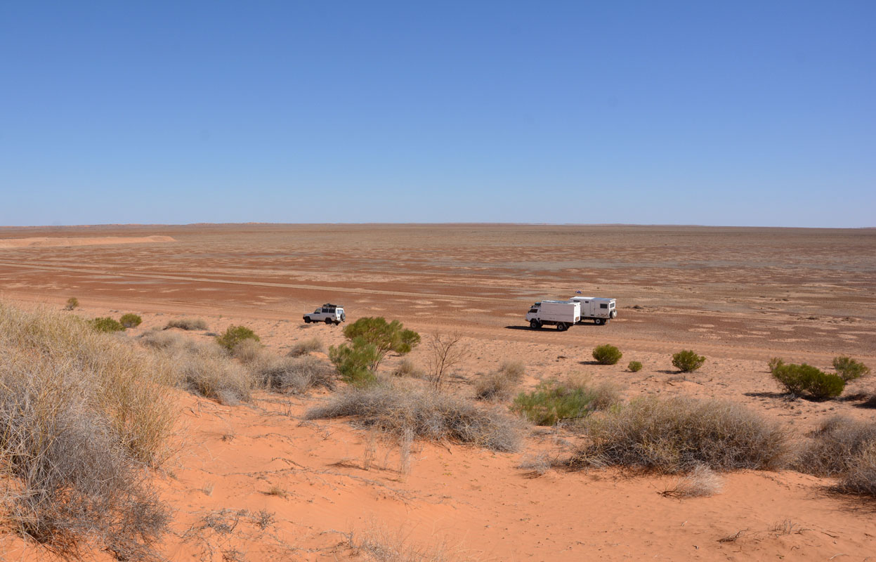
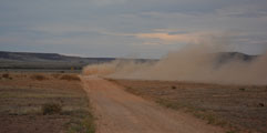
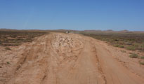
The sealed road ends and it gets a bit dusty ......
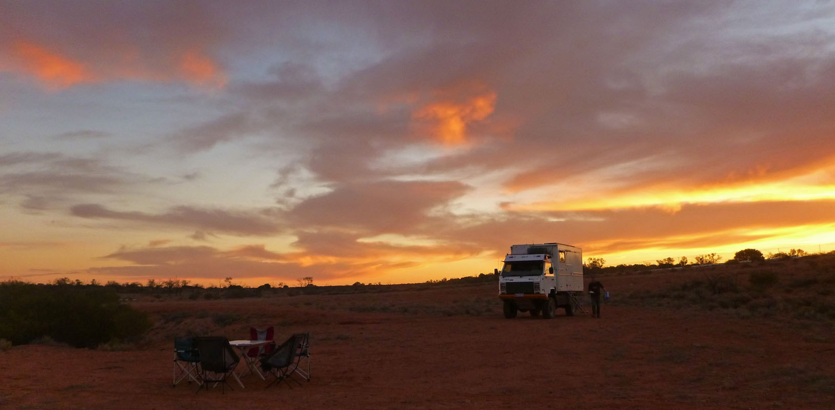
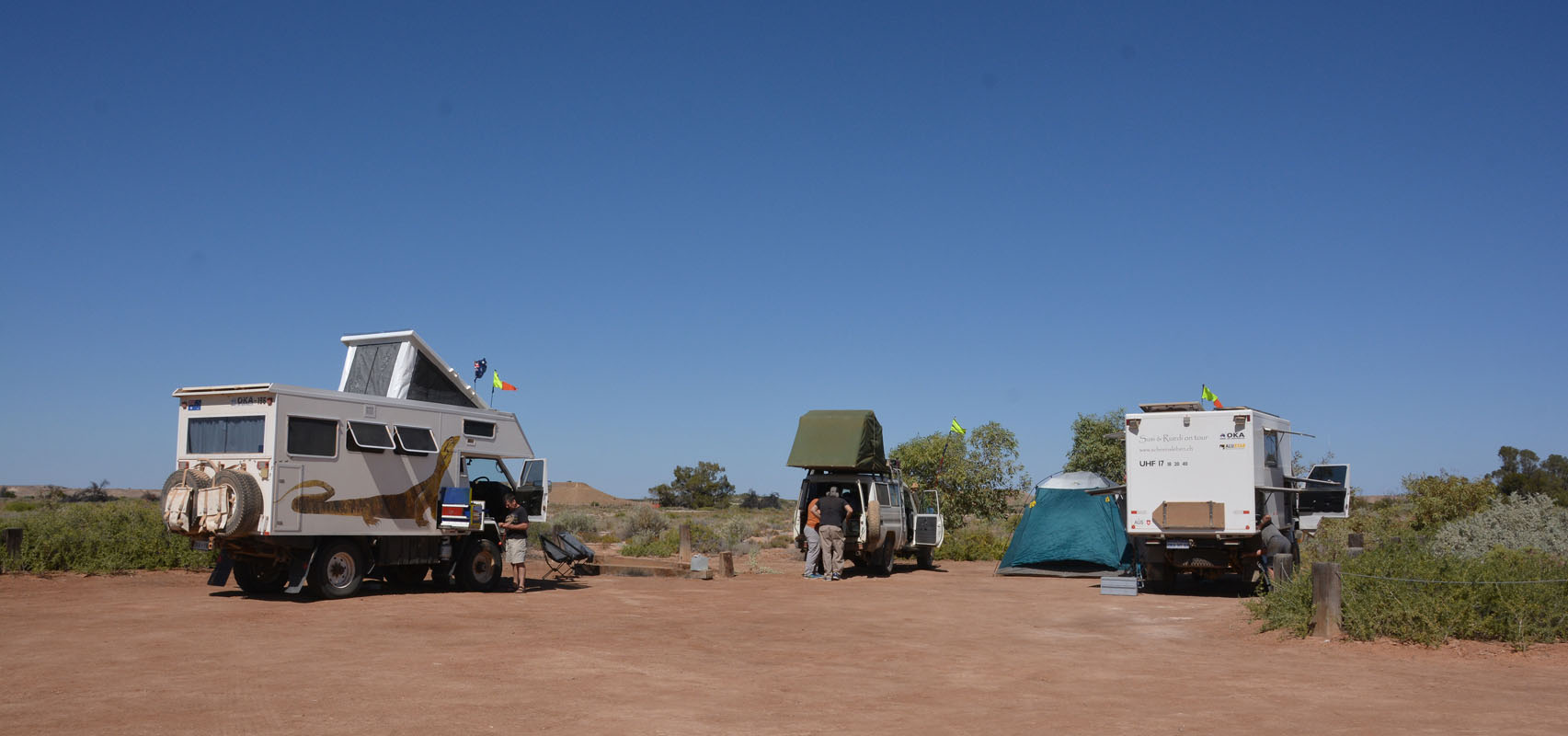
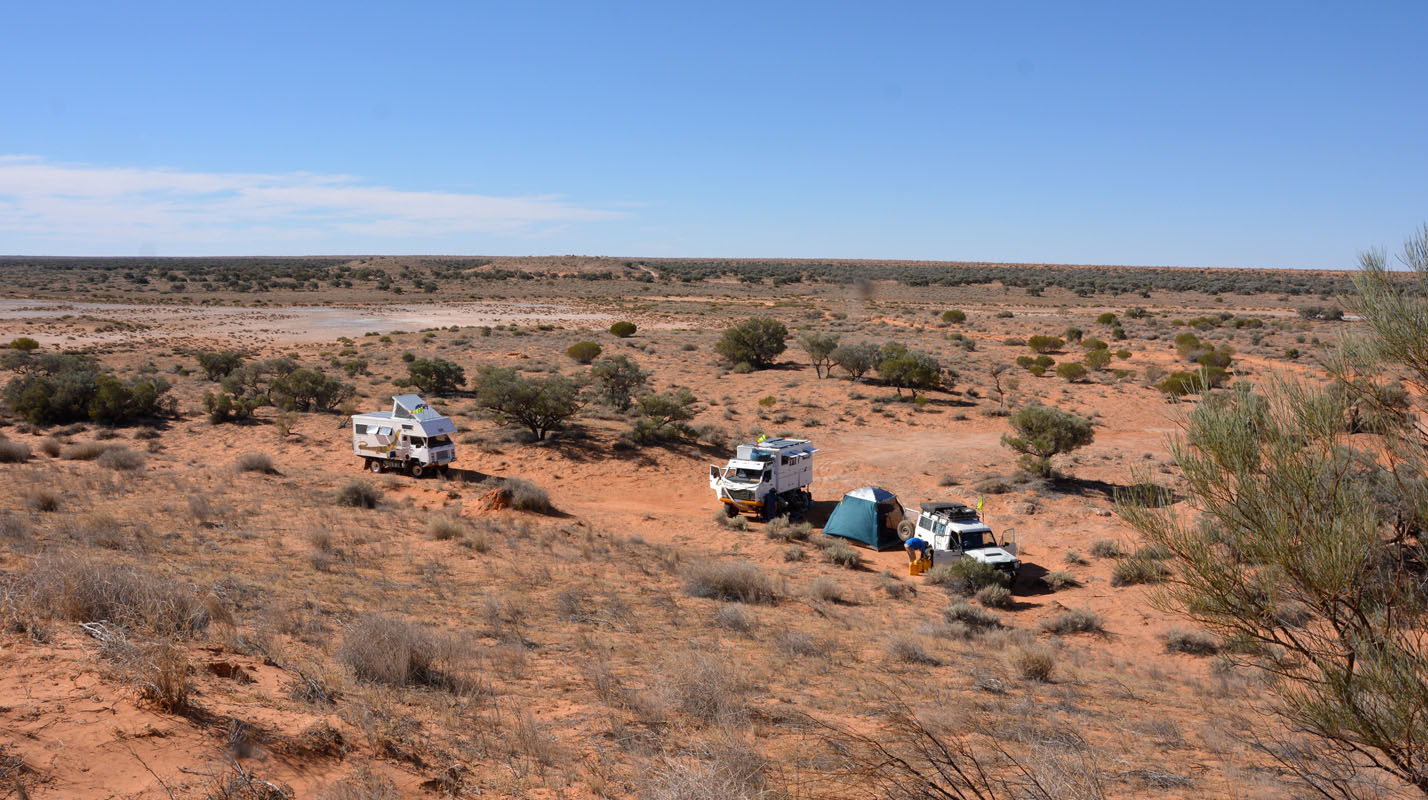
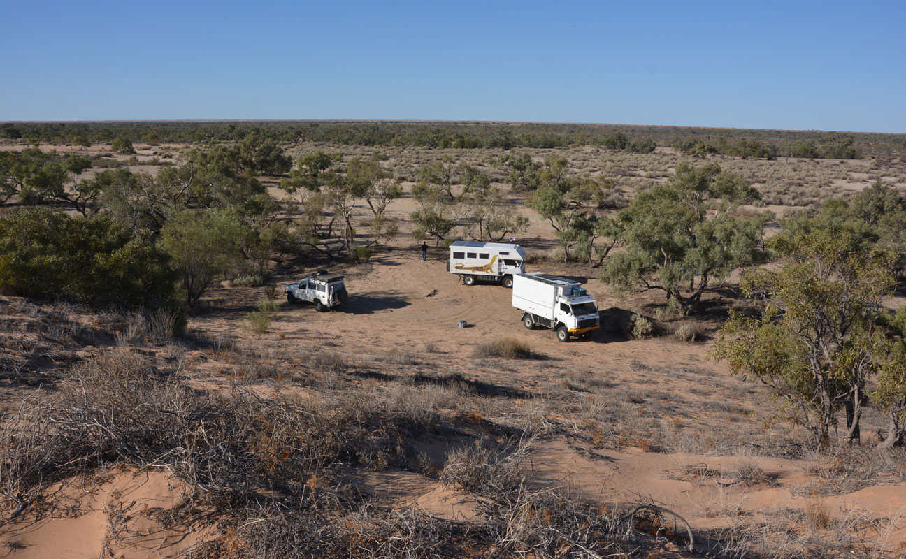
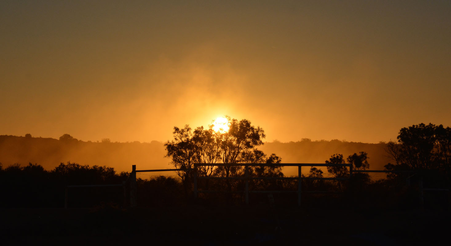
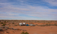
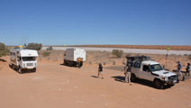
A few km later we find a spot on the right-hand side of the road (wind direction!!) and set up camp.


(photos: P&M)
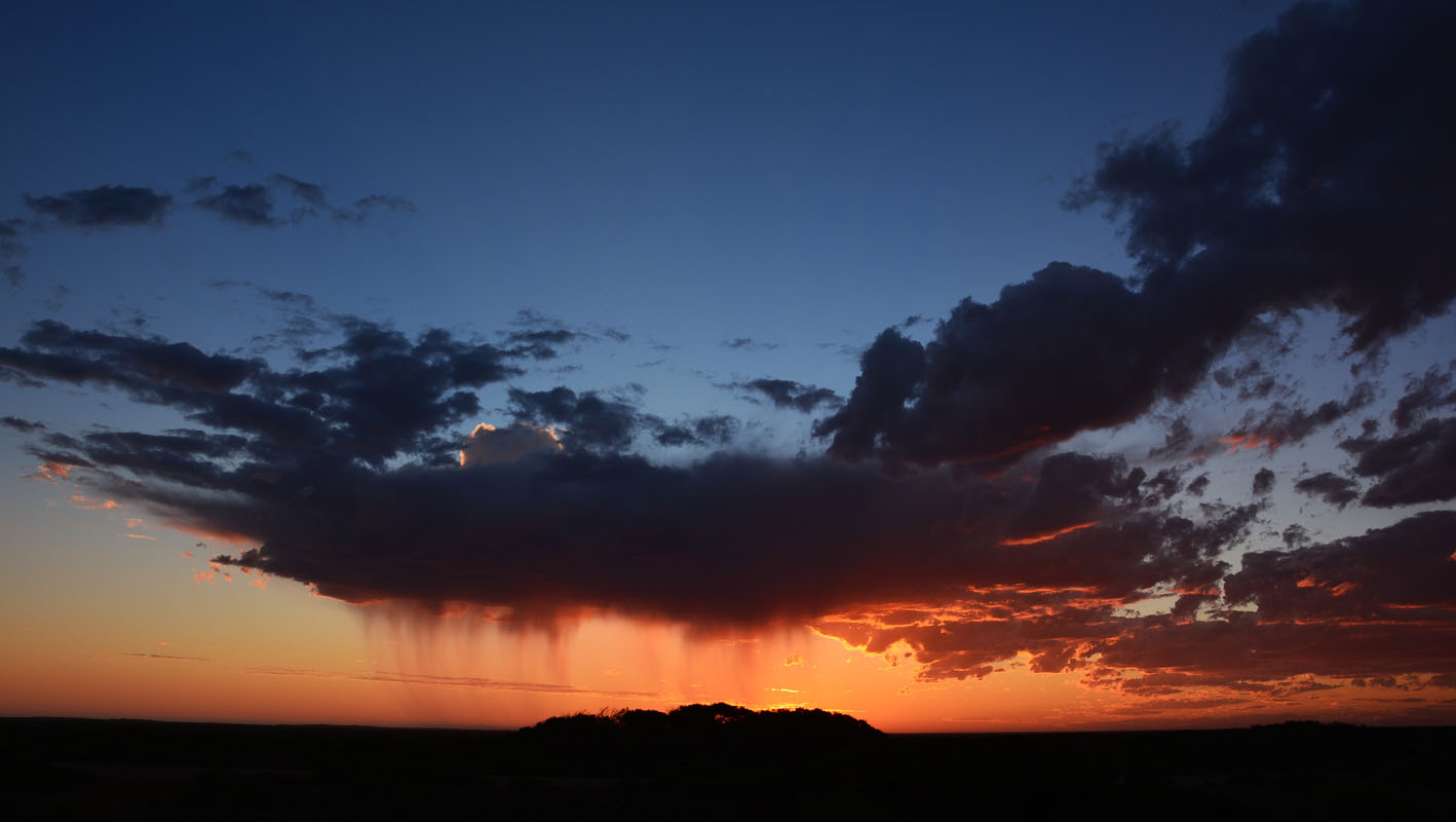
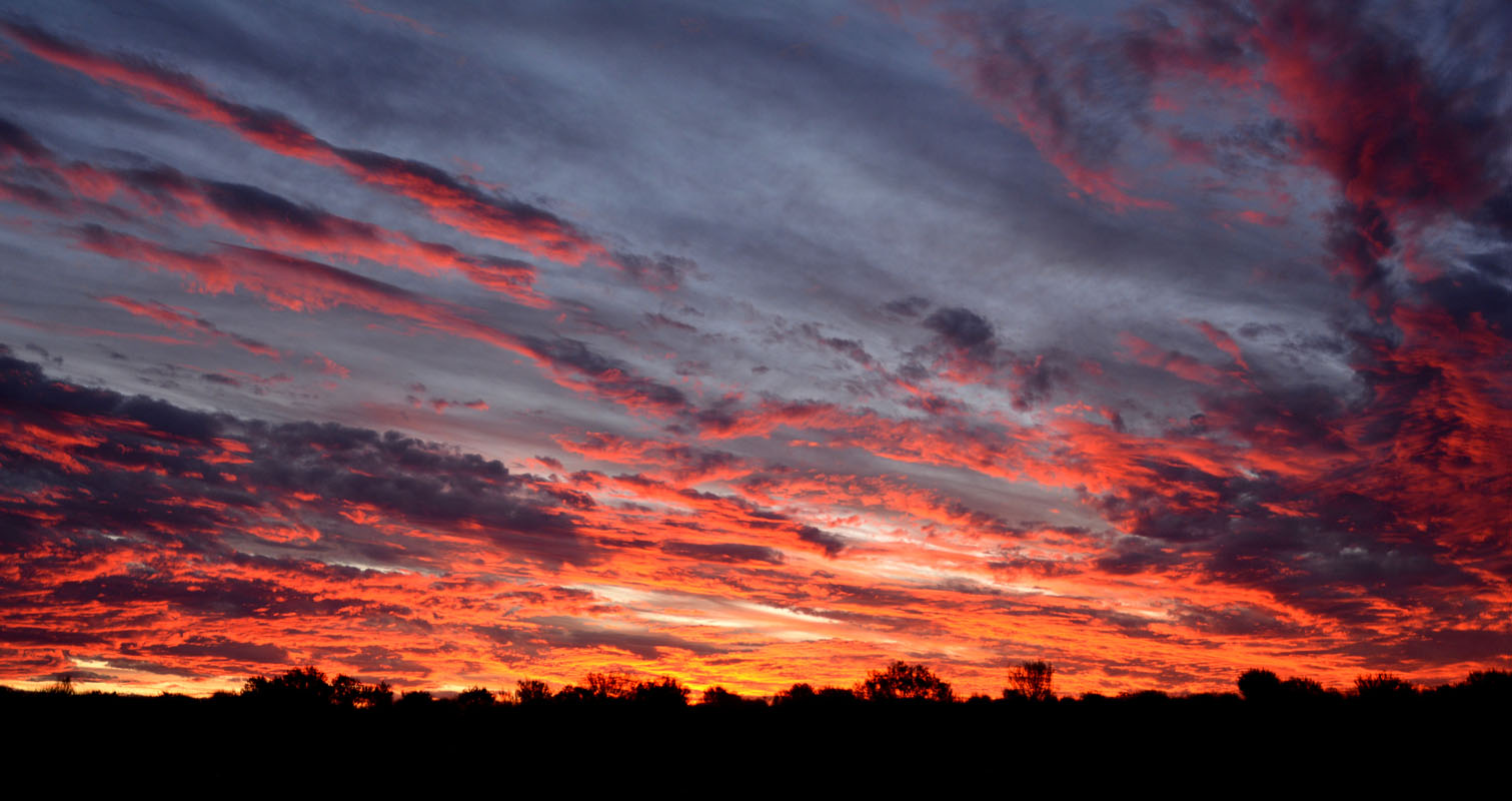
We have the grilled chicken for dinner that we had bought in the Port Augusta (ready in 5 minutes thanks to our microwave ....) and enjoy the colourful sunset.
During the night the temperature drops to 9.5°C ...
On Wednesday, May 2nd, we wake up to a slightly overcast sky.
As we still have Telstra reception Ruedi checks the weather forecast:
Roxby Downs rain tomorrow .... Oodnadatta Track 10% chance of rain ....
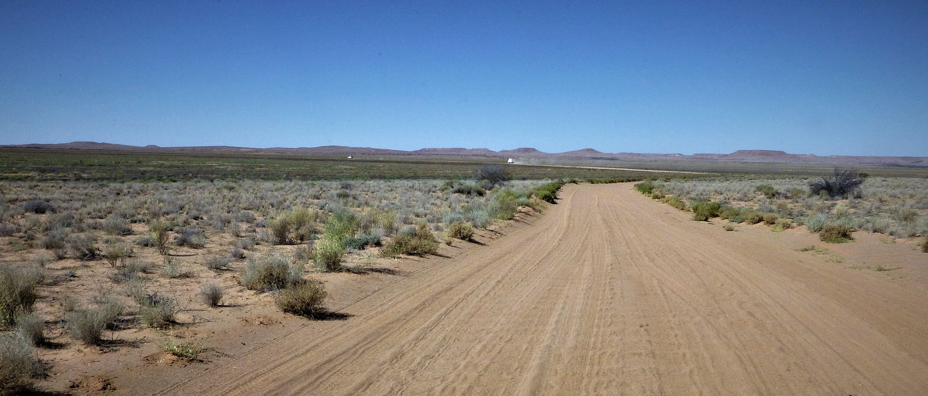
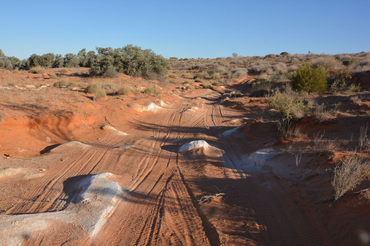
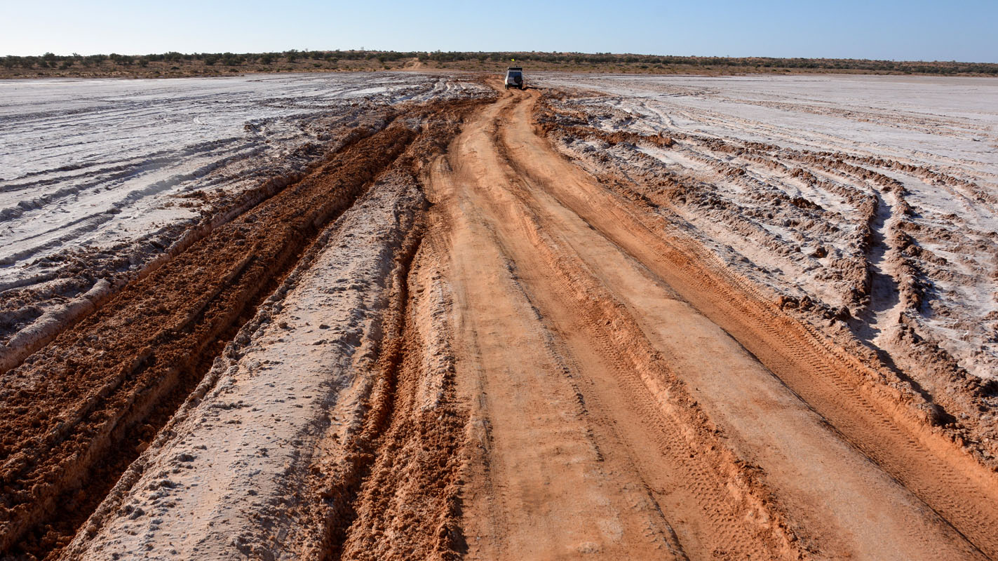
We continue on the Borefield Road.
Some sections have been driven wet and we don't fancy doing that too .....
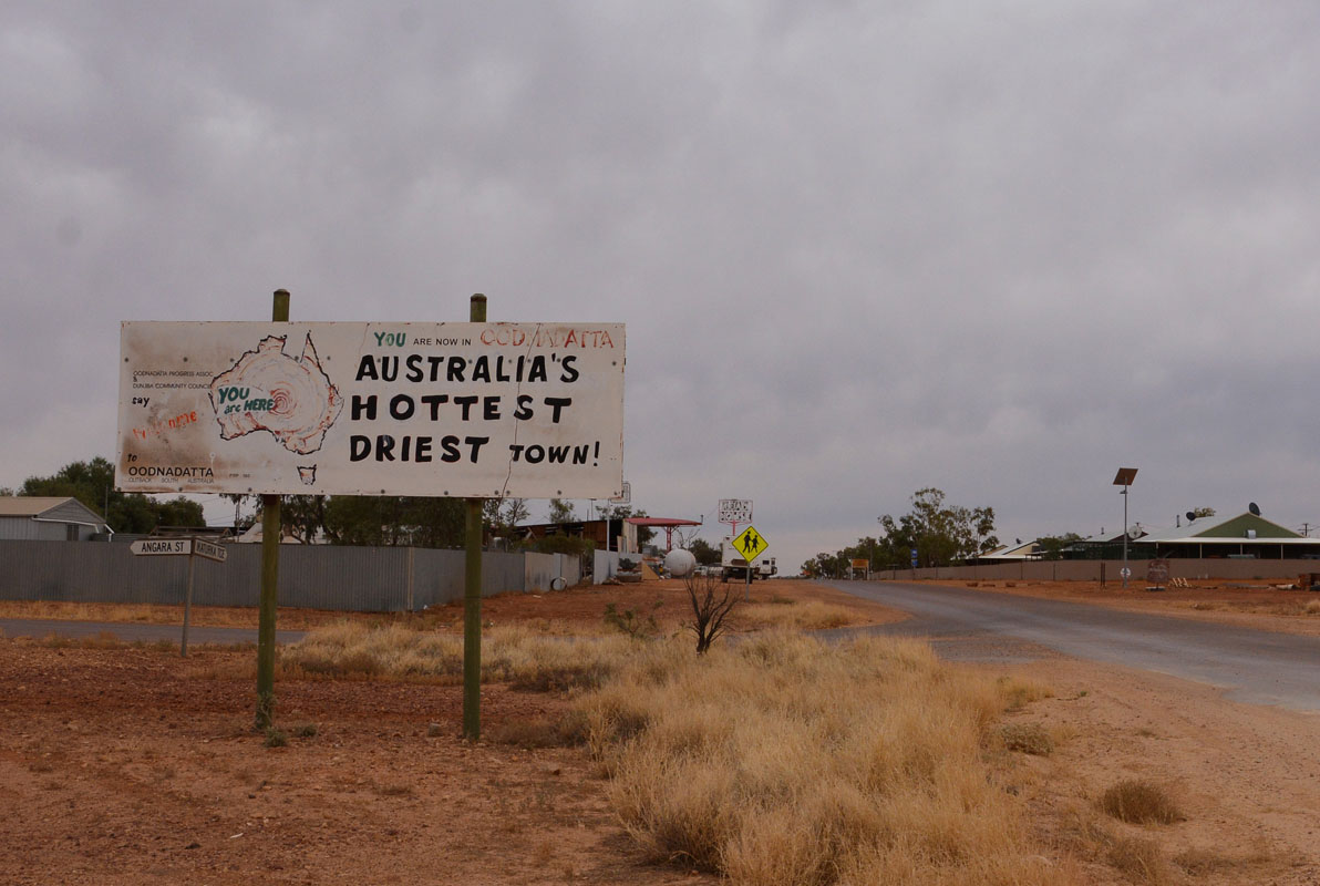
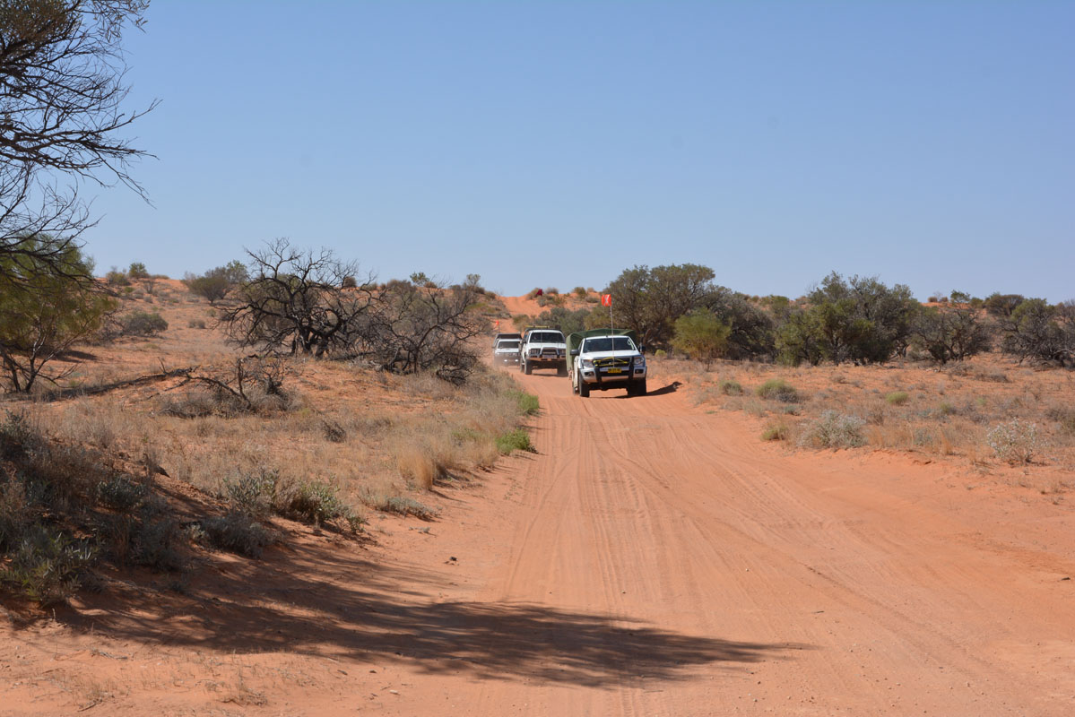
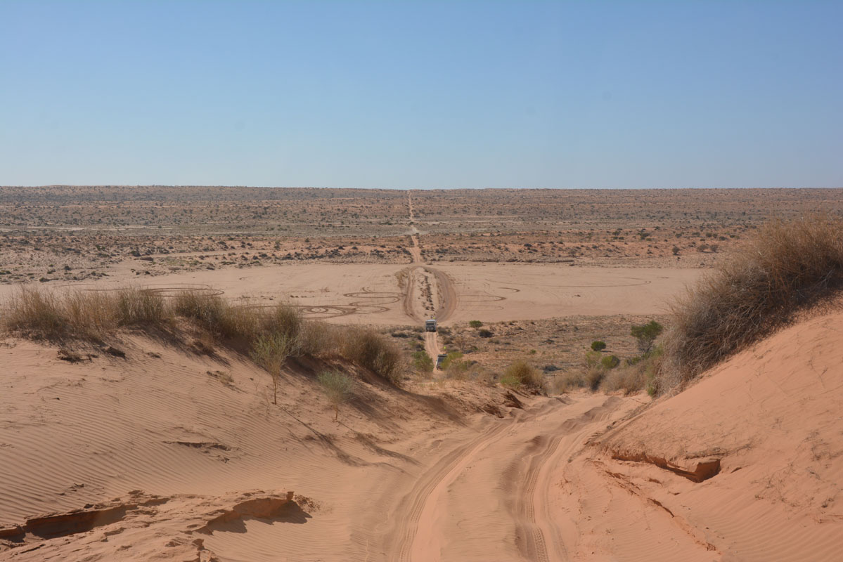
We reach Bopeechee and the Oodnadatta Track.
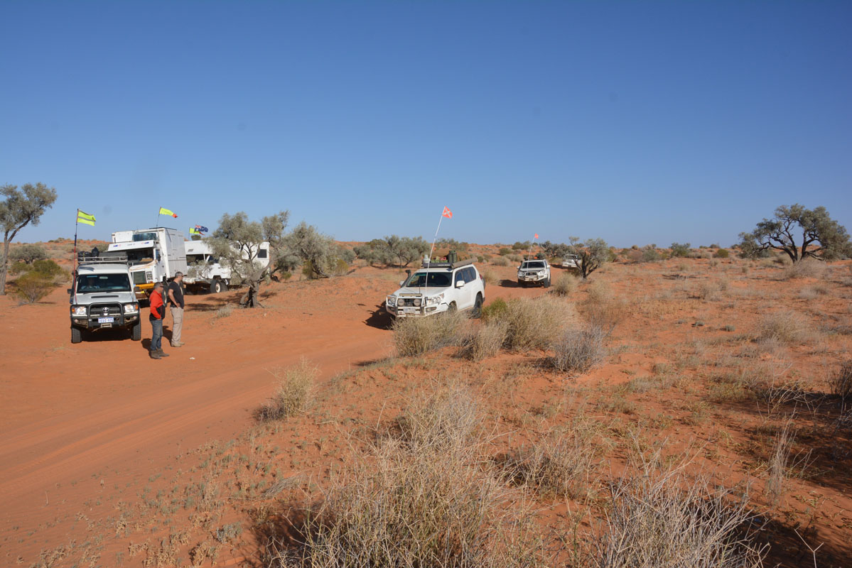
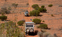
There is plenty of traffic on the track.
We are surprised to see what people drag behind their vehicles on the Oodnadatta Track!
The track is dry and dusty.
Luckily there is not much corrugation!
Due to the bad weather forecast Peter does not want to spend too much time on the track.
But a few stops will be ok.
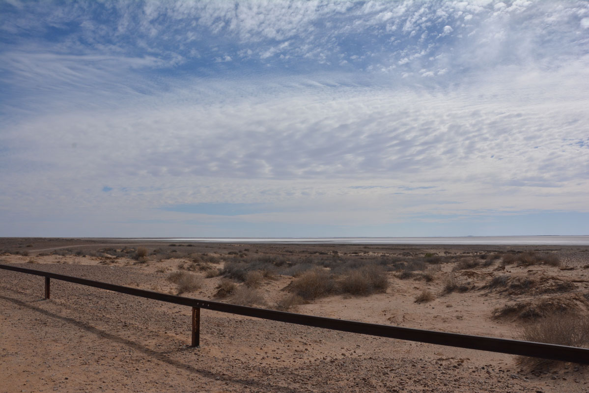
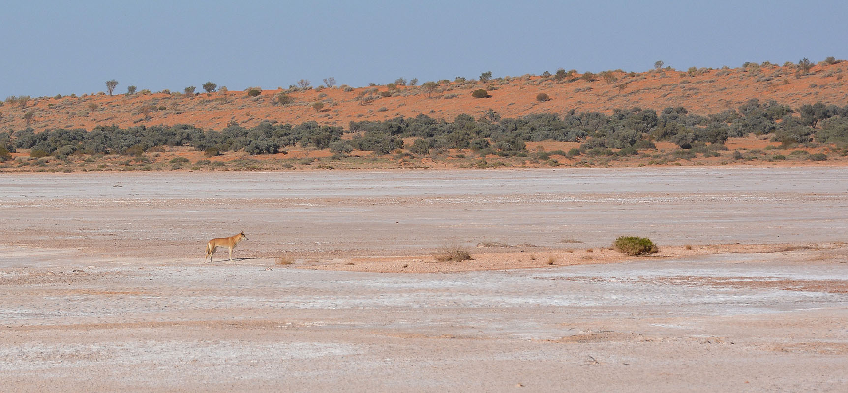
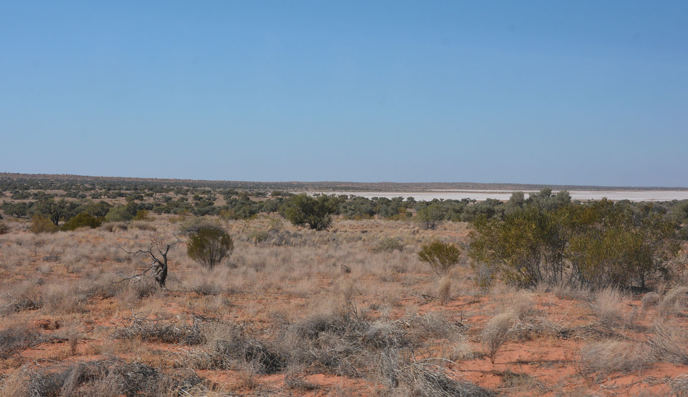
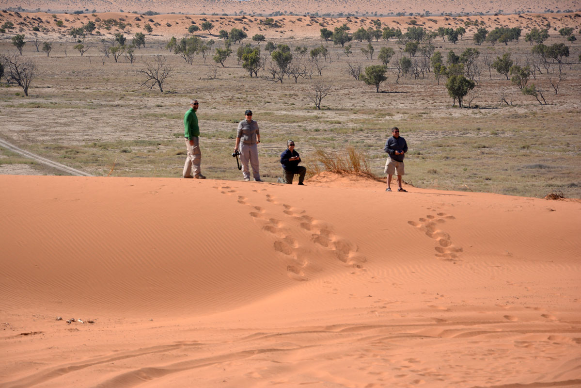
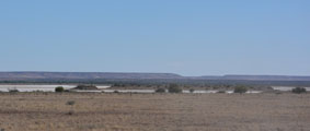
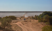
The first stop is at the lookout onto Lake Eyre South, 12 m below sea level.
The lake is almost dry but not dry enough to be shiny and white.
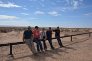

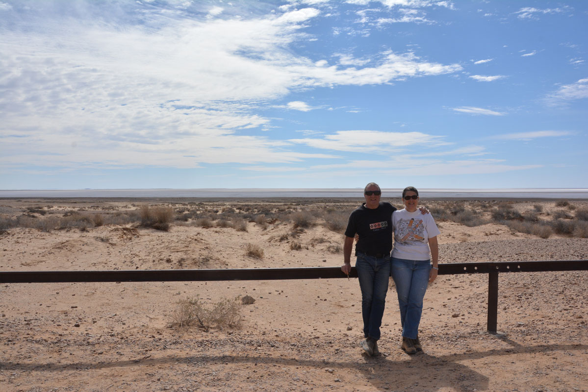
There is always one missing on group pictures ... the photographer!!!
A set of boards explaining things attracts our attention.
Here some photos and extracts:

The Lake Eyre Basin is one of the world's largest internally draining systems - it covers 22% of the Australian continent ....
The Lake Eyre Basin overlies the world's largest underground reservoir, the Great Artesian Basin.
The Great Artesian Basin formed about 100 - 130 million years ago when Australia began rifting (tearing) from Antarctica in the final breakdown of Gondwana.
The Great Artesian Basin is a hydrological structure that includes three sedimentary basins - the Eromanga, Surat and Carpentaria.
These basins formed as a result of a huge downwarp west of a volcanic arc system that was on the Eastern Australia plate boundary.
The sea flooded into this depression in the early Cretaceous around 120 - 110 million years ago during the age of the dinosaurs.
Fossils of giant marine reptiles and dinosaurs have been recovered from these sediments in Queensland and South Australia.
Over millions of years wind and water eroded the uplifted margins of the basin carrying sands and clays out into the sinking centre where they are now found at depths of several thousand metres.
These sediments have consolidated to form impermeable mudstones and siltstones and permeable sandstones, the aquifers of the Great Artesian Basin.
The permeable sandstones were uplifted around the rim to form the intake beds of the Great Artesian Basin some 10 - 15 million years ago.
Rain that falls on the western side of the Great Dividing Range in Queensland travels through these porous layers to emerge around 2 million years later as artesian springs in South Australia.
This fossil water can be artificially tapped by drilling a bore through the layers down to the aquifer.
Because of the pressure within the aquifer, the water will rise naturally towards the surface and sometimes above the surface.
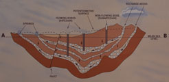
Diagrammatic cross-section showing the Great Artesian Basin and overlying Lake Eyre Basin
The uplift of the Great Dividing Range and the northward drift of Australia during the Tertiary marked the beginning of a change that led to the drying of the centre of the continent, a process which continues to the present.
During the last 50 million years, subsidence in north eastern South Australia produced another large shallow basin, the Lake Eyre Basin.
Studying the sediments and fossils that accumulated in this basin geologists and palaeontologists have traced its history from a permanent freshwater lake with fish, turtles, crocodiles and even flamingos to the ephemeral salt lake of today.
The discovery of mound springs by Europeans in 1858 brought the new industry of grazing sheep and cattle to the Lake Eyre region.

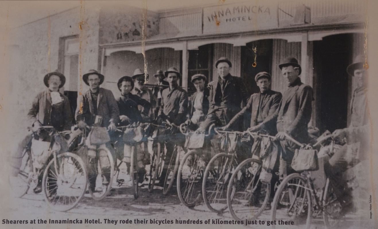
(photo: Helen Tolcher)
(Text of photo:
Shearers at the Innamincka Hotel. They rode their bicycles hundreds of kilometres just to get there.)
Sheep grazing ended in the 1930s, but the cattle industry has remained for nearly 150 years, in the face of drought, dingoes and rabbit infestation.
The reliable artesian water supply shaped all European settlement in the region, just as it had shaped Aboriginal occupation for thousands of years.
John McDouall Stuart used the mound springs as a pathway on his 1862 journey across the continent, which led to the Northern Territory being annexed to South Australia.
In 1870 Charles Todd chose the same route for the Overland Telegraph Line.
The South Australian government built a land line more than 3,000 kilometres across the continent from Port Augusta to Darwin, to link with an undersea cable connecting Adelaide with London.
Settlers looking to establish pastoral enterprises soon followed the explorers and competed for the same precious natural resources.
Disease and superior technology prevailed to deplete the extensive Aboriginal populations.
Many took to working on the early stations and later the construction of the railway.
Missionaries such as the Lutherans at Lake Killalpaninna (1866-1917) on Cooper Creek and the United Aborigines Mission at Finniss Springs (1947-1951) west of Marree provided both good and bad elements in the pattern of interaction.
The Great Northern Railway followed, reaching Oodnadatta in 1891, from where Afghan camel drivers took supplies out to the northern cattle stations.
In the twentieth century the railway became an important link in Sidney Kidman's cattle empire.
Taken over by the Commonwealth, the railway line was extended to Alice Springs in 1928.
This Central Australian Railway, known as "The Ghan", was a vital supply route taking military supplies to northern Australia during the Second World War.
The Marree to Alice Springs line closed at the end of 1980, replaced by another railway from Tarcoola further west.
This put an end to the role that the mound springs had played for over a hundred years as an important transport and communications route.
Today key towns such as Marree, Oodnadatta and Finke that all grew from the railway era are predominantly Aboriginal communities.
Tourism is the region's most important industry, cattle trucks still use the historic Oodnadatta Track, but most people who come here simply want to enjoy the beauty and isolation of the outback.
As we travel along we see DIP signs that have been "altered" a bit:
Slippery DIP
Cheesy DIP
DIP shit
 
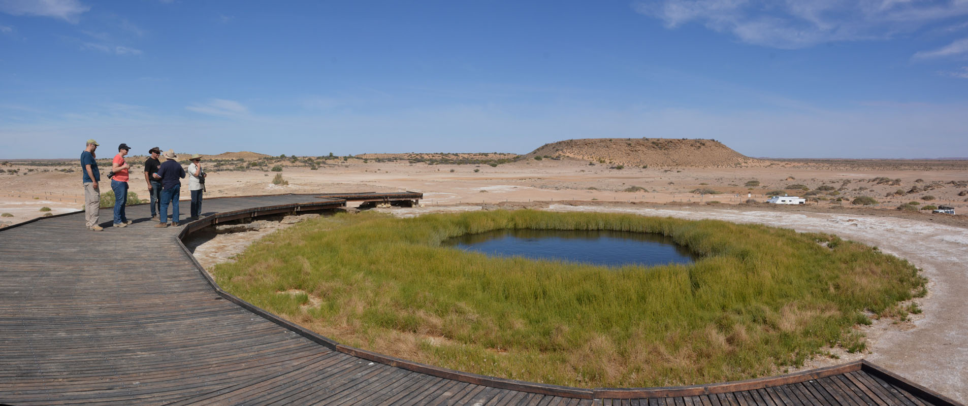
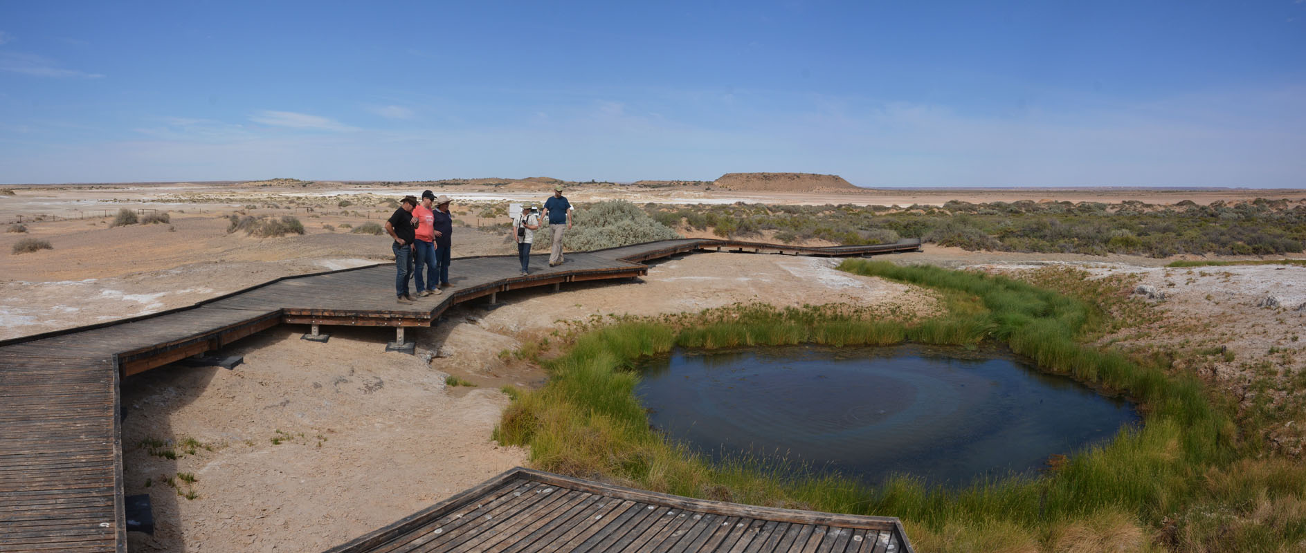
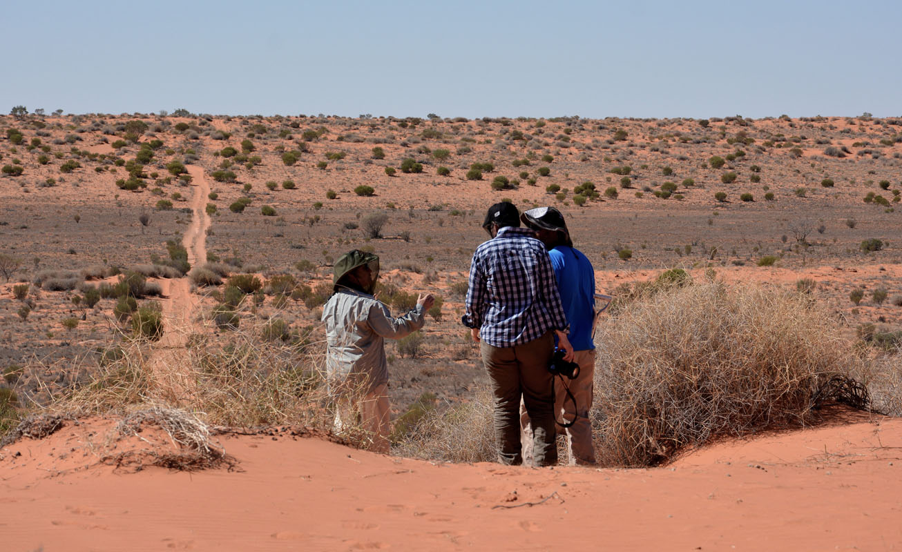
We visit the mound springs Blanche Cap and The Blubber.
The track leading to them is horrible!

The map showing the locations of the mound springs explains well why this line was chosen for the track in the past!

Next, we visit Beresford Ruins and have lunch there.


Shortly before reaching William Creek we pass some cyclists from Melbourne on the way to Uluru.
By now the temperature has reached 33°C .....


At William Creek we head to the pub for a cold beer.
Then we continue on on the Oodnadatta Track.


After the deviation to Coober Pedy the track gets rougher.
Clouds start moving in ........
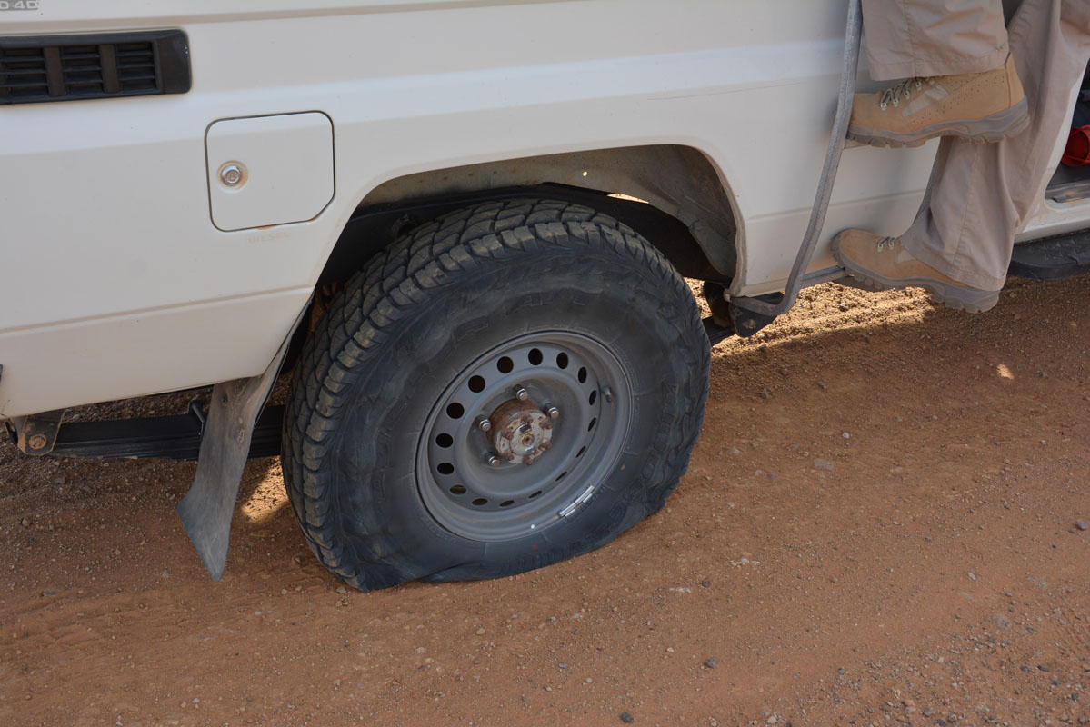
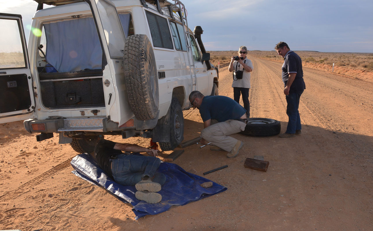
Suddenly we hear David on the radio ".... flat tyre ...."


Yes, this tyre has had it ......
Due to the lost time we have to drive into the night to reach Algebuckina Siding.
The place is quite busy and it is not easy to find a spot in the dark.
Finally we set up camp under the bridge.
During the night we hear rain drops on the roof a few times but luckily it does not really rain.
The temperature does not drop below 21 °C.
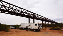
On Thursday, May 3rd, we have a quick look at the bridge.
Then we head north.
The sky is overcast but we are lucky, the rain does not reach us.


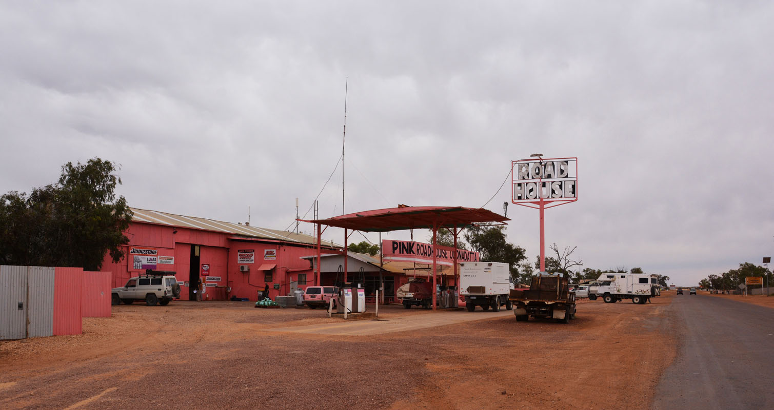
In Oodnadatta's Pink Roadhouse Gioia and David get a new tyre.
We are impressed how easy their rental company TCC makes it .... no problem, tyre is paid instantly .... thanks to the insurance they took out!
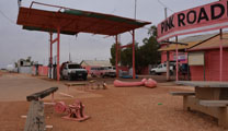

We get the Desert Parks Pass (160 $, valid for 1 year, cash only ....) and top up fuel (1.91 $, credit cards ok except Amex).

It is a peaceful place .....


Then we leave town.
The track is in better condition than it was since William Creek.

We turn off in to Mt. Dare Road and soon pass Fogarty's Claypan.
After passing Hamilton Station Homestead the track gets rougher.
We lower the tyre pressure more.


The sky gets darker and darker.
Peter reckons that we could get a bit of rain tonight ....
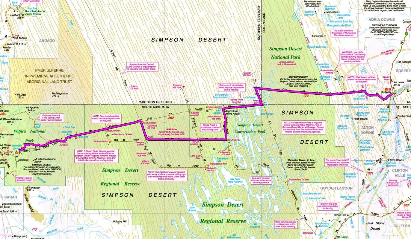
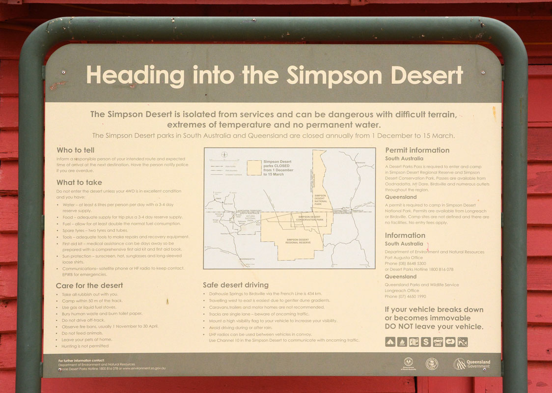
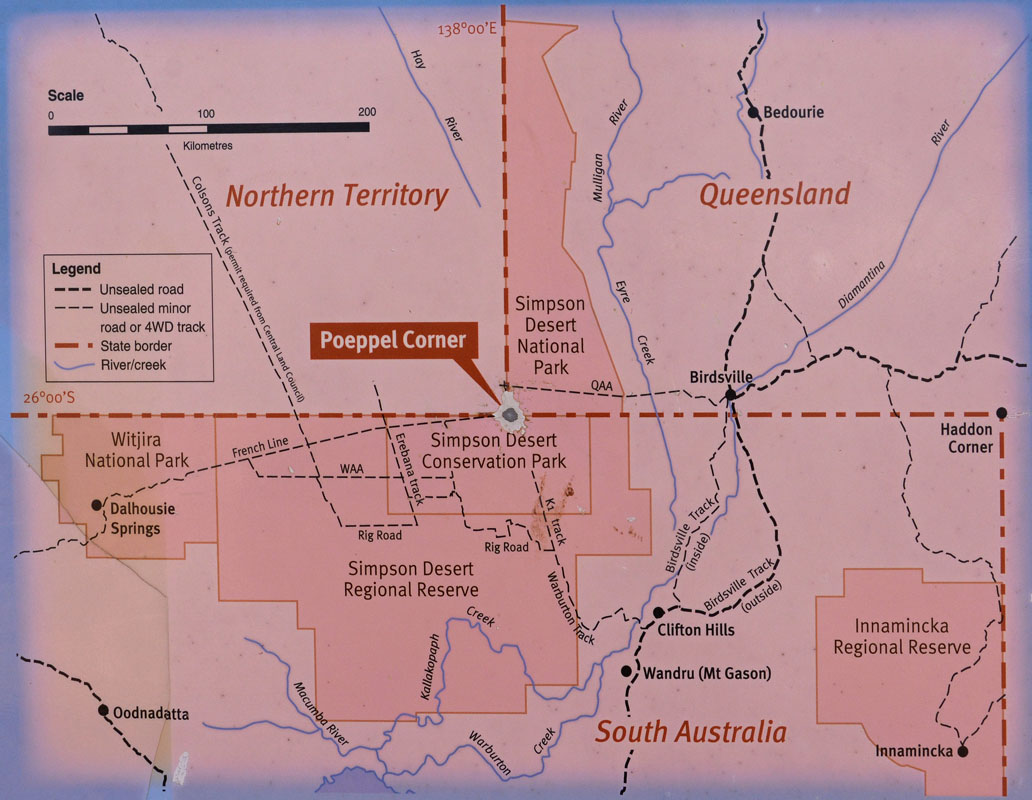
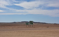
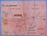
We reach the entry to Witjira National Park (size: 7,726.73 km2), which contains the Dalhousie Mound Springs complex.
Here some extracts from Wikipedia:
The Simpson Desert is a large area of dry, red sandy plain and dunes in Northern Territory, South Australia and Queensland in central Australia.
It is the fourth largest Australian desert, with an area of 176,500 km2 and is the world's largest sand dune desert.
The Simpson Desert is an erg which contains the world's longest parallel sand dunes.
These north-south oriented
dunes are static, held in position by vegetation.
They vary in height from 3 metres in the west to around 30 metres on the eastern side.
The largest dune, Nappanerica ("Big Red"), is 40 metres in height.
The sand ridges have a trend of SSE-NNW and continue parallel for kilometres.
This pattern is seen throughout the deserts of Australia.
Some of the ridges continue unbroken for up to 200 km.
The height and the spacing between the ridges are directly related.
Where there are 5-6 ridges in a kilometre, the height is around 15 meters but when there is one or two ridges per kilometre the height jumps to 35–38 meters.
In cross section, the lee side is the eastern slope with an incline of 34-38 degrees, while the stoss side is the western slope with an incline of only 10-20 degrees.
No maintained roads cross the desert.
There are tracks that were created during seismic surveys in the search for gas and oil during the 1960s and 1970s.
These include the French Line, the Rig Road, and the QAA Line.
Such tracks are still navigable by well-equipped four-wheel-drive vehicles which must carry extra fuel and water.
Visitor attractions
The desert is popular with tourists, particularly in winter, and popular landmarks include the ruins and mound springs at Dalhousie Springs, Purni Bore wetlands, Approdinna Attora Knoll and Poeppel Corner (where Queensland, South Australia and Northern Territory meet).
We like this section of the Wikipedia-text:
Because of the excessive heat and inadequately experienced drivers attempting to access the desert in the past, the Department of Environment and Natural Resources has decided since 2008-2009 to close the Simpson Desert during the summer — to save unprepared "adventurers" from themselves.
Click here for a pdf on the full Wikipedia-text.
On the way to Dalhousie Springs we deviate to 3 O'clock Creek to get some drinking water.
Gioia and David are leading.
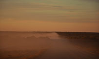
Not knowing bull dust and thinking it is sand they go to fast into it.
What a dust cloud!!
Shortly after there are two more bull dust areas, deep and with deep ruts .... we virtually swim through it!
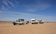
After filling the tanks with water (this will be the last drinking water until Birdsville ....) we head to the Dalhousie Springs camp.
It is almost empty!
What a nice surprise!!!
We settle for the night and get ready for possible rain.
But we are lucky!
A strong wind blows the clouds away ... the temperature drops to 9°C again ....
On Friday morning, May 4th, the last clouds quickly get burned away by the sun.
It does not take long and the flies are out in force again.
They are quite a pest!

(photos: P&M)
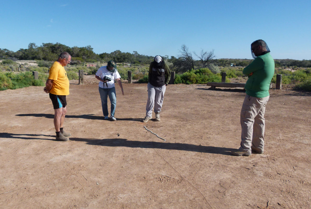
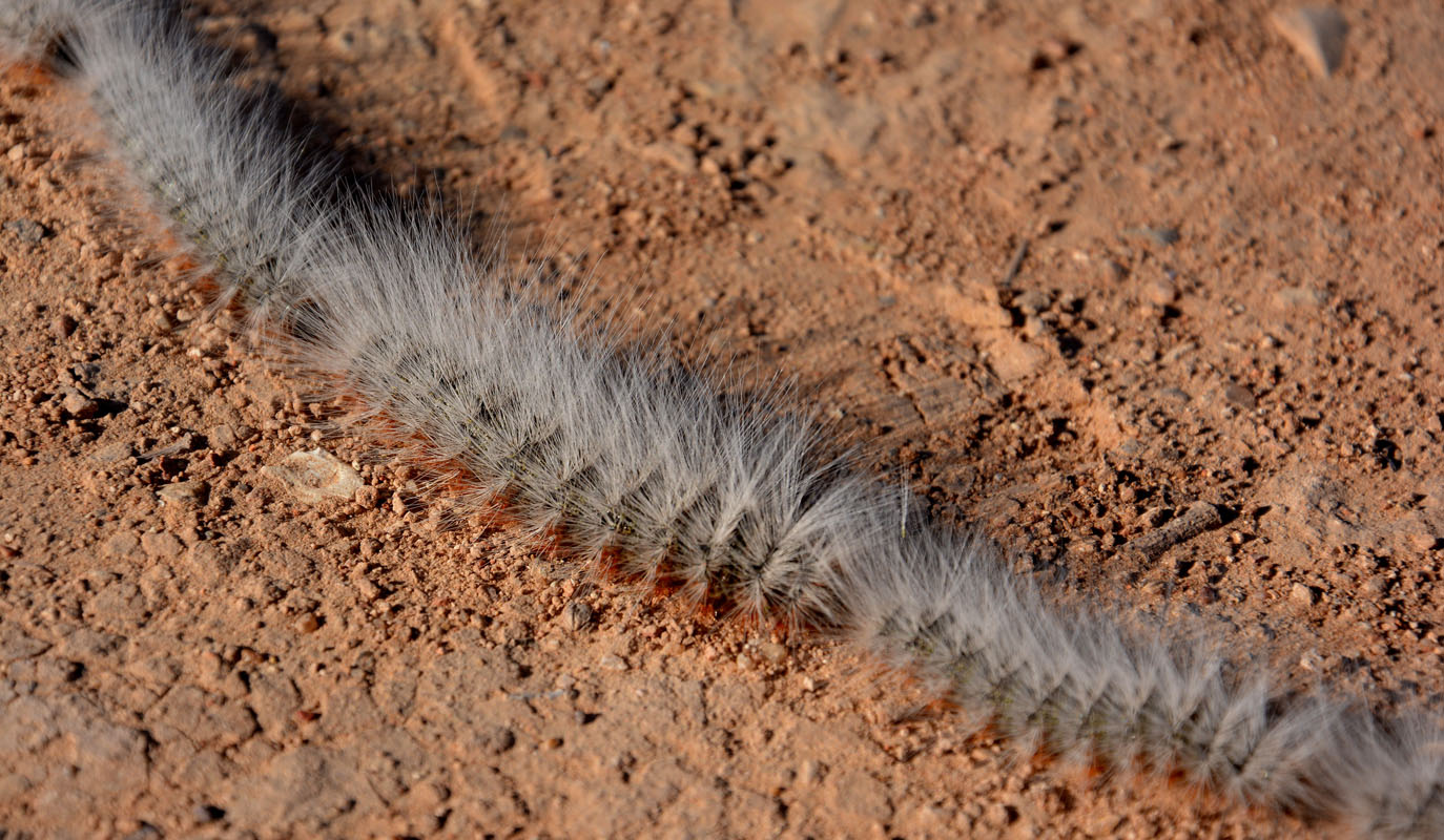
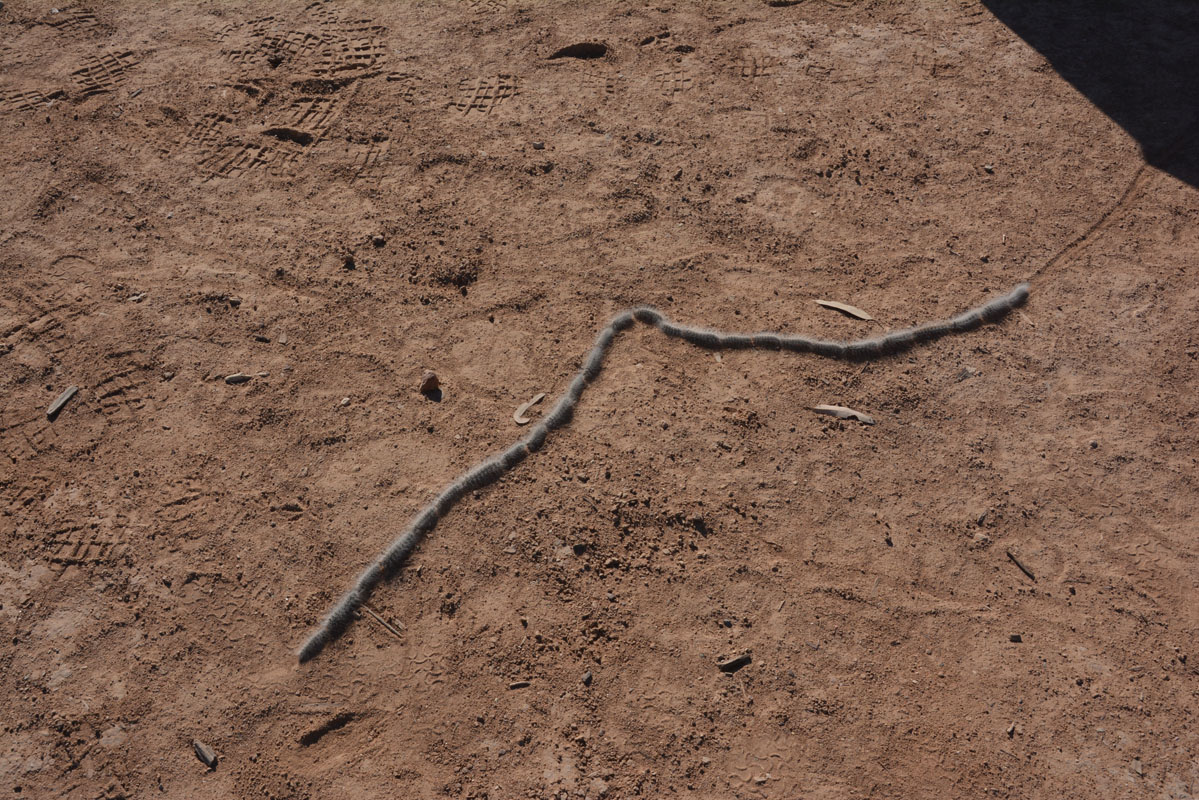
Ruedi spots some processionary caterpillars (Thaumetopoeidae) and soon we are all watching them.


They follow each other very closely.
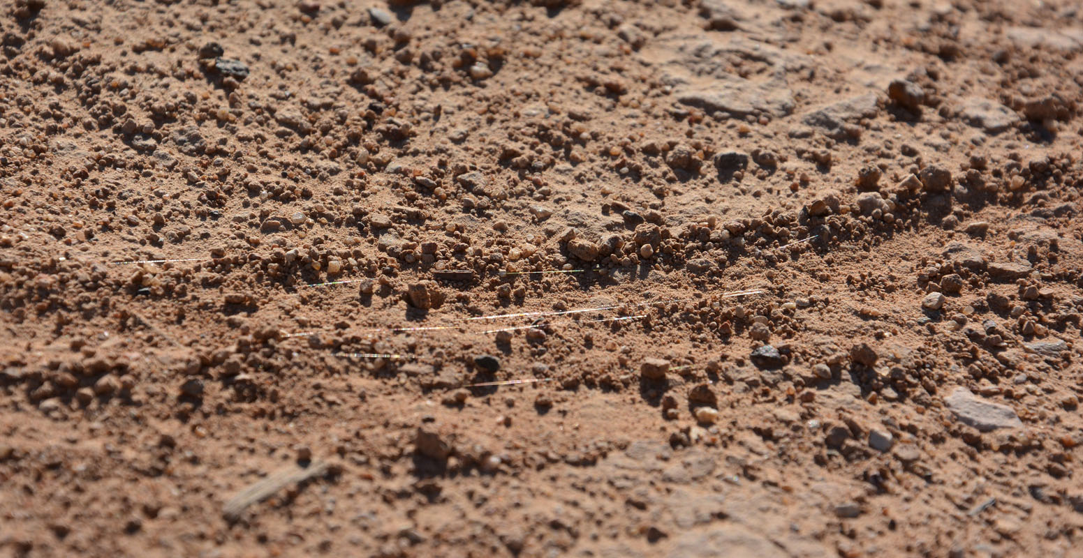
They also leave a silk on the ground .... probably so the other ones can follow ...


They are not disturbed by obstacles on their way .... even by the ones that we build to watch how they react ...
Click here  for a short movie of the processionary caterpillars. for a short movie of the processionary caterpillars.
The wind is quite strong again and every so often one of the caterpillars gets blown over.
That does not worry them at all.
They all stop and wait and once all are in line again they continue.
Then they head to a salt bush and the procession (27 caterpillars) stops!
The ones further back start "overtaking" and looking for alternative ways forward ....
Then they all find a way into the salt bush and disappear.


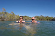
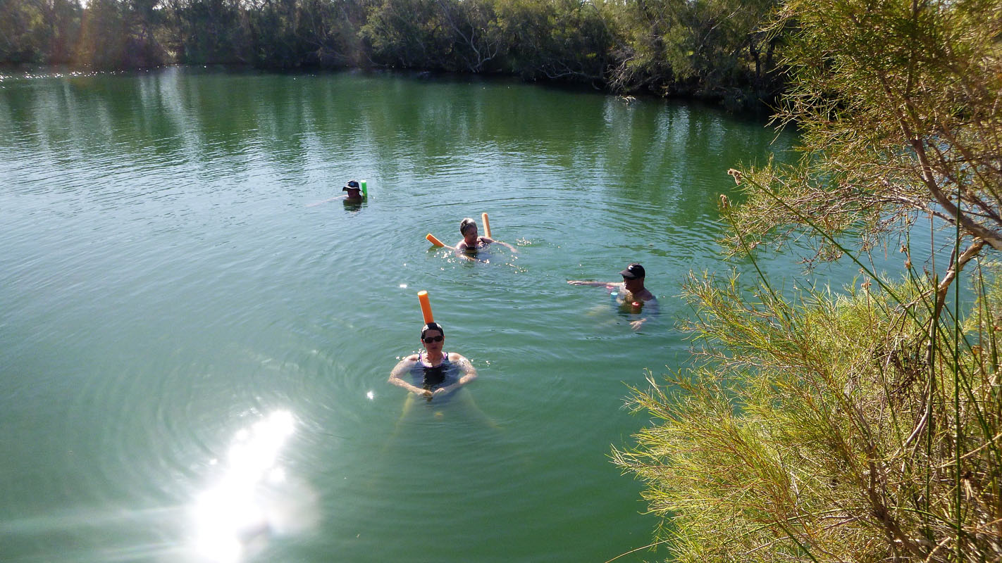
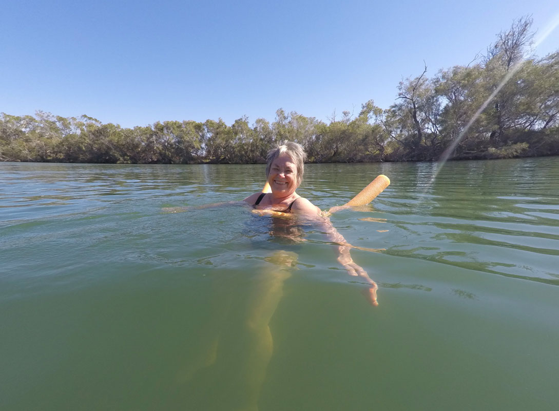
We go for a swim in the beautiful warm spring (....... 36°C - 42°C .....).
It is so peaceful ...
Some more people arrive and we hear that some flowers are blooming in the Simpson.
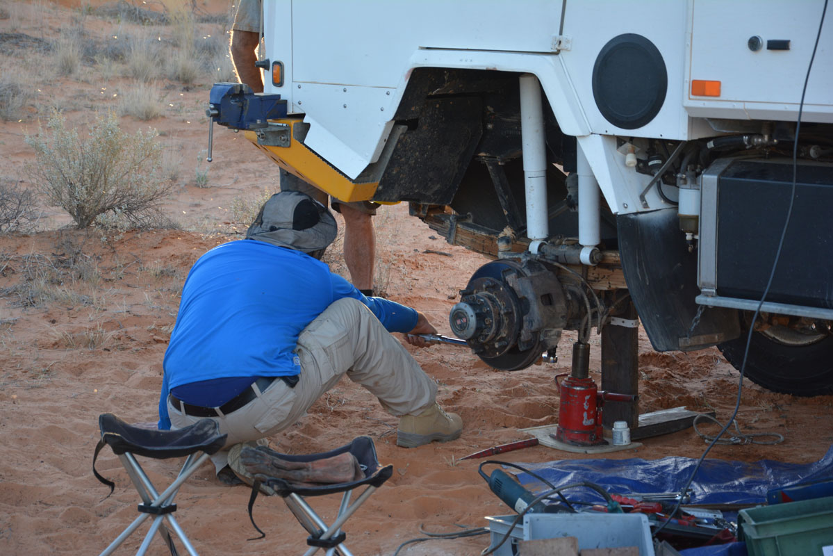
Maintenance is done on the vehicles.

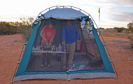
We also set up the tent so Gioia and David have a fly-free-zone.
The flies are a real pain in the bum!
The water at the amenities is warm and makes washing of clothes and dishes a pleasure.
One last time plenty of (non-potable) water ......

In the evening we have a sun downer.
The flies go to sleep and the mozzies arrive ..... in mass!!!!!
We must have killed several dozens in the camper when we sprayed ...
After a fresh night with only 7°C we wake up to a sunny Saturday morning (May 5th).
We have one last swim and then head out east towards Purni Bore.
Approx. 4 km later we stop at the last rubbish dump until Birdsville ...


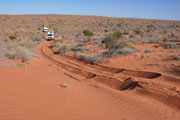
The track is quite corrugated, some sections badly.

We reach the first sandy patches.
One can see that there had been rain just a short while ago.


Plants and animals appear .....
More and more dunes appear and the track starts going over them.

Shortly before Alka Seltzer Bore we have the first oncoming traffic.
We start announcing ourselves on the radio but there is no more traffic.
We guess that weekends are quiet days on the track as people are either heading home or only just arriving .... let's see if we are right.
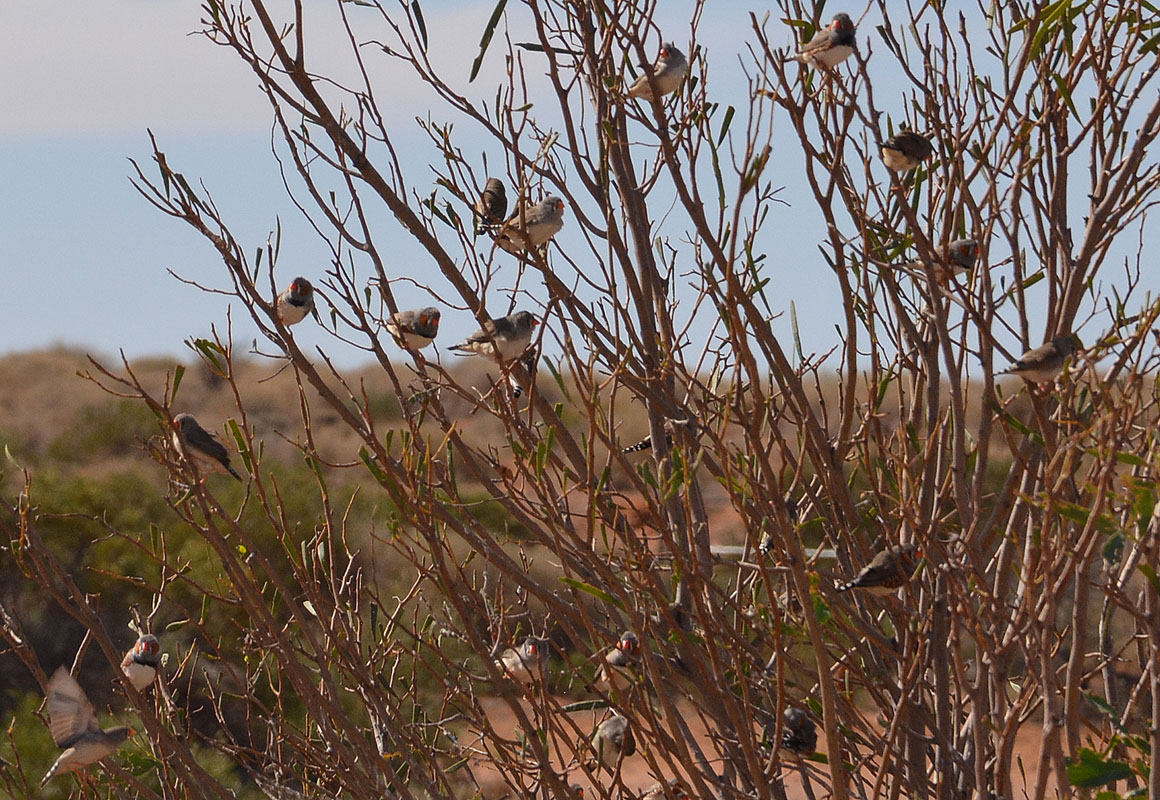
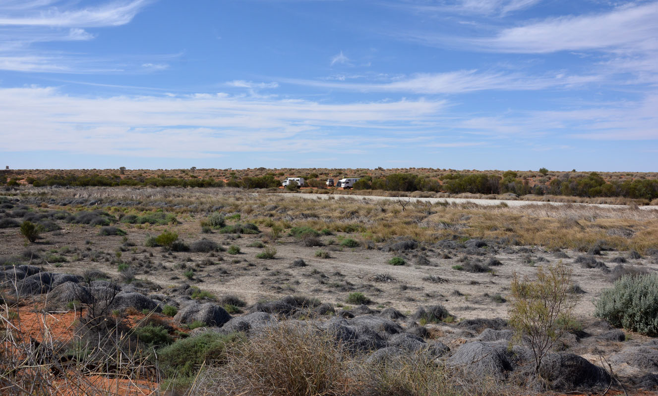
We reach Purni Bore and drive to the camp in the back.
A large dry wetland is all that is left of the busy wetland Peter & Margaret had found last year.

We hear finches so we go for a walk to look for the water.
We find the pipe but it must be turned off.
Only where the pipe is leaking there is a small "lagoon".

Zebra finches sit in the nearby tree.

We have a quiet afternoon and catch up with the journals and photos.
In the late afternoon Margaret and Peter go to the water hole.
Dingoes, galahs, finches and many other birds come for a drink.
After dinner we have a "sun downer" in Peter and Margaret's OKA.
During the night the temperature drops to 4°C ..... we will have to get the winter woollies out ....
On Sunday, May 6th, the sun is out again.

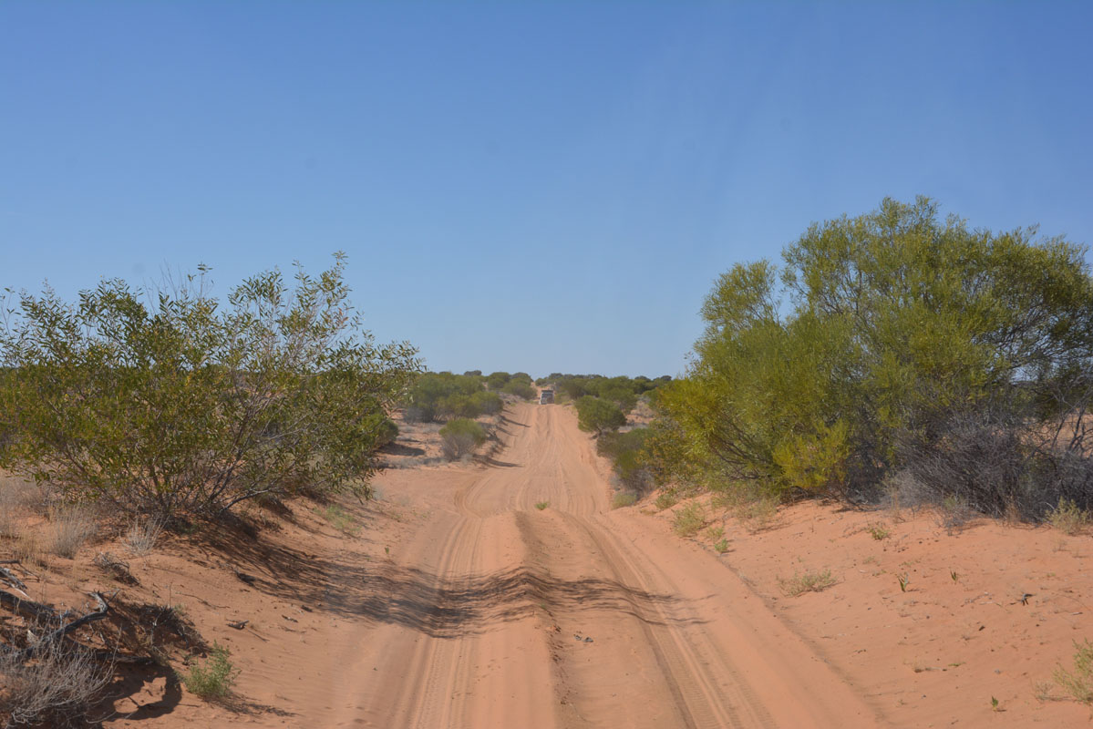
Soon we are on the way east on the French Line.
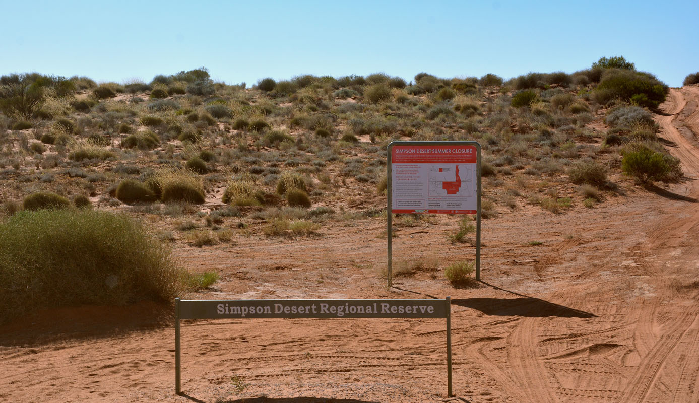
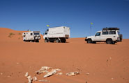
We reach the Simpson Desert Regional Reserve and the beginning of our adventure!
We all make sure that we have our radios on channel 10 so we can hear any traffic around us ... and they can hear us!
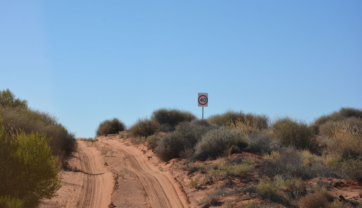
The 40 km/h sign sadly is not taken too seriously ..... otherwise there would be less whoops!!!!


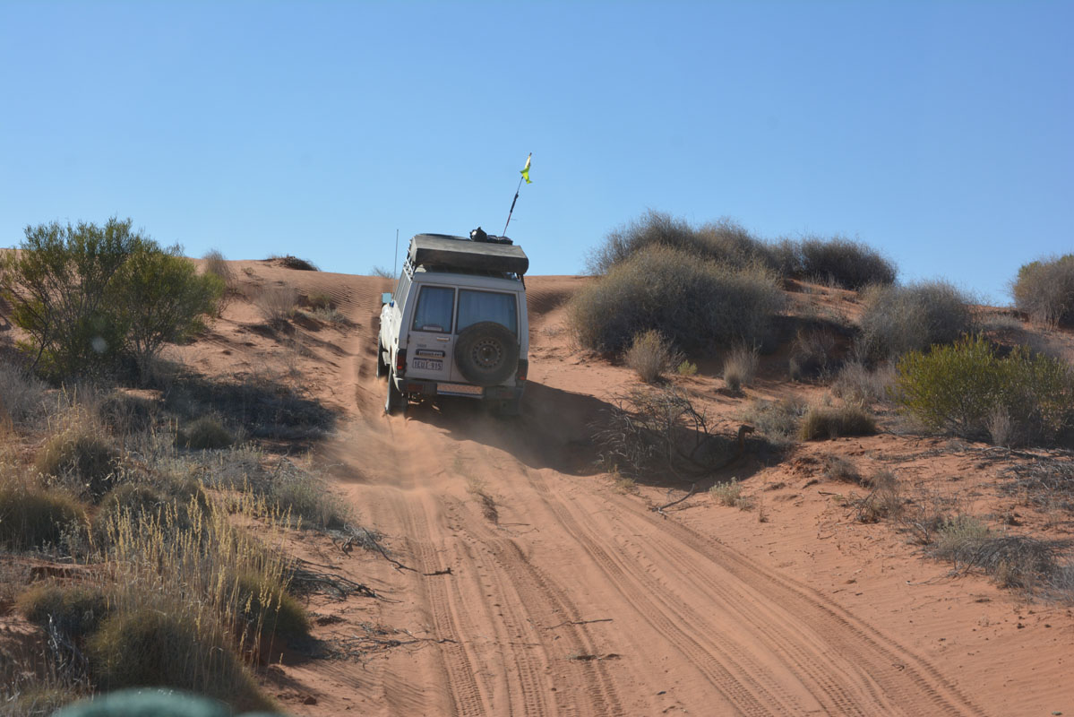
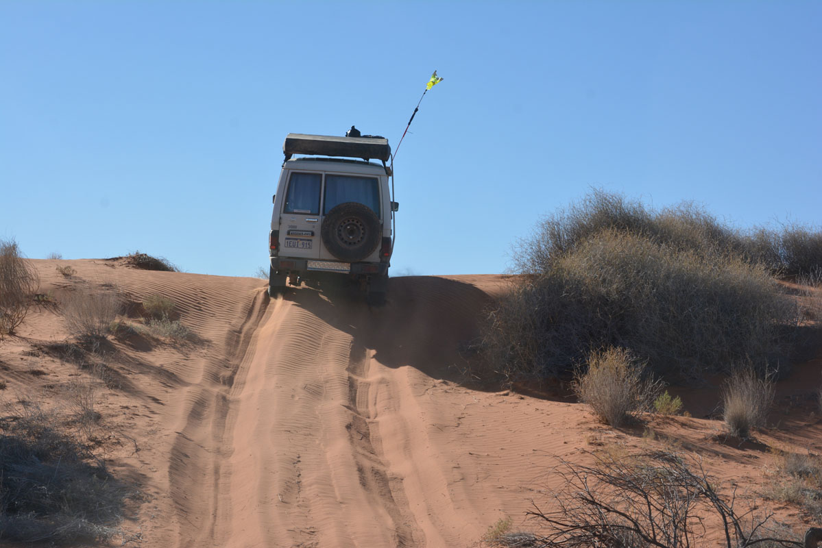
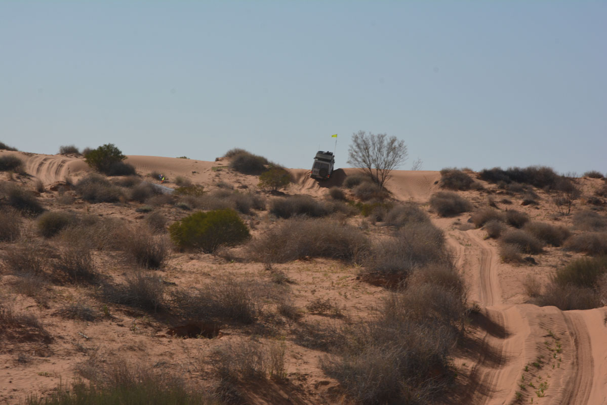
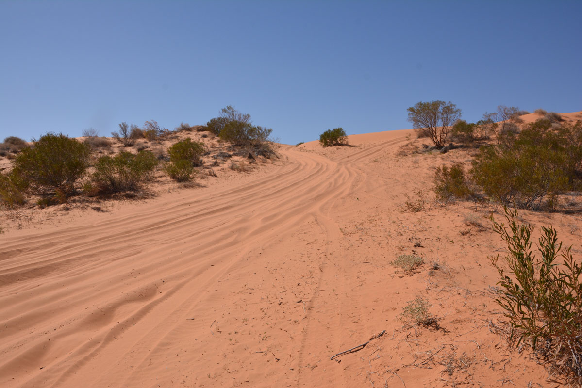
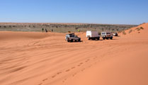
The dunes get higher and higher.
We drop the tyre pressure more and keep monitoring the temperature of the tyres.
The less pressure there is in the tyre the hotter they get.
The temperature should be around 40 – 50°C max.
With temperatures above 70°C they get damaged.

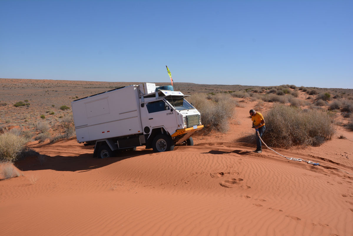
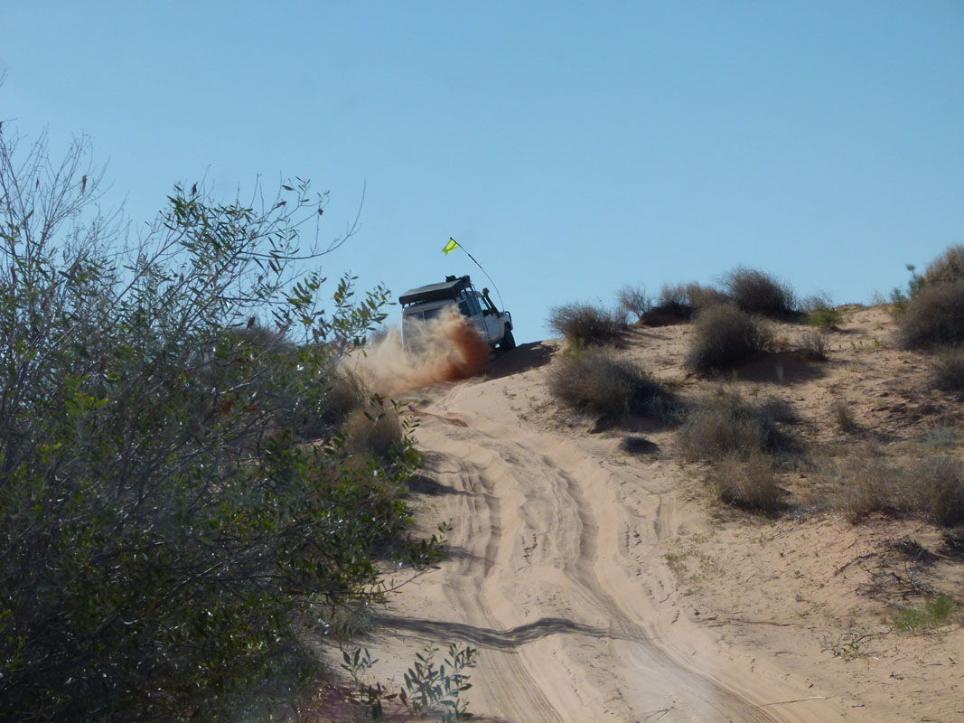
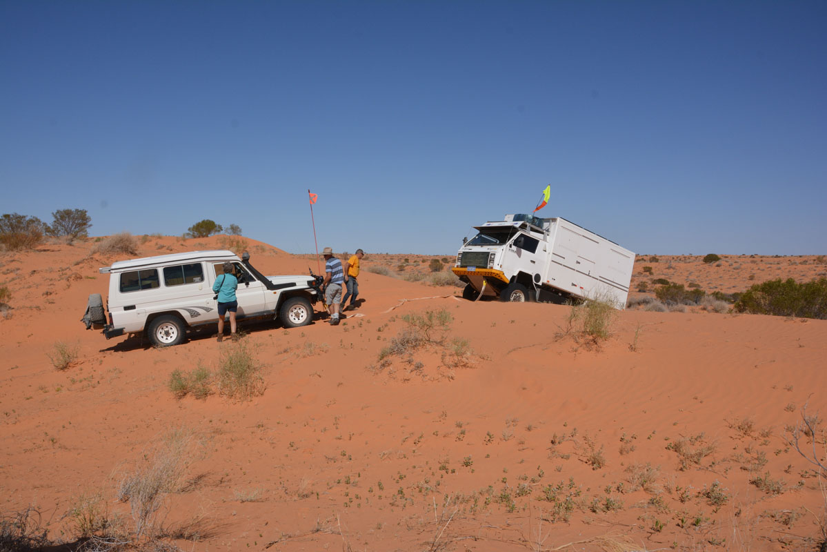
Ruedi gets stuck on a dune with the OKA but manages the crossing in a second attempt.
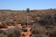

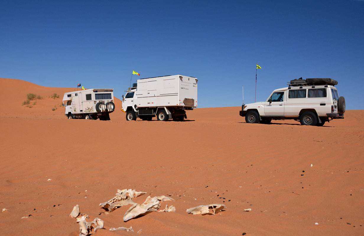
We come past some interesting stuff .... dune monitoring poles ... abandoned trailers .....


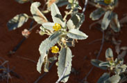
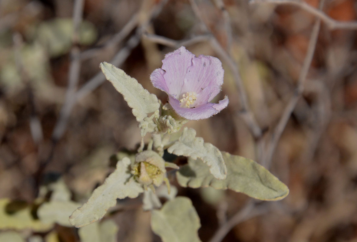
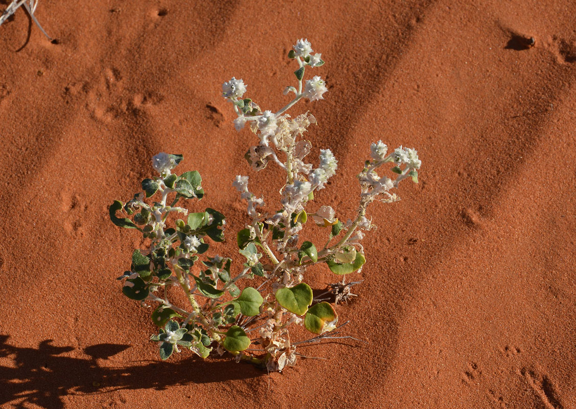
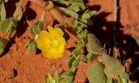
There are a few flowers out but not as much as we had hoped for.
The sun is quite hot and the day temperature rises to 26.5°C.
Some 10 km west of Colson Corner Peter cannot make it over the dune and lets more air out.
We decide to do the same ...... and cross the dune without problems.
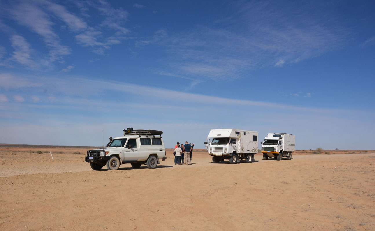
Once we reach the Colson Corner we head south on the Colson Track to the WAA Line.
The track leads through a valley with a large pretty red dune on the right side.


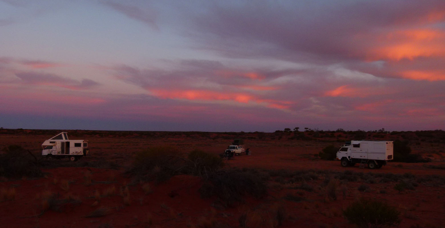
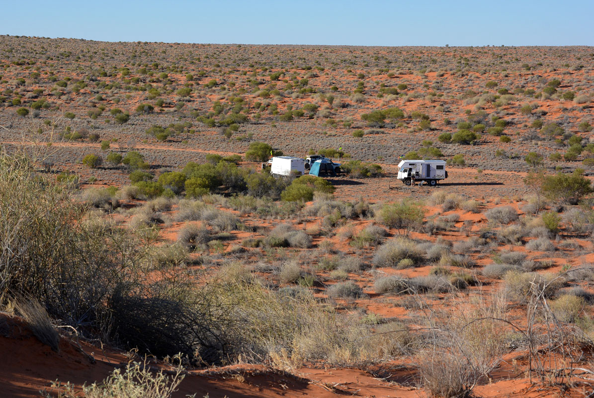
Near the crossing of the Colson Track and the WAA Line we stop for the night.
The temperature drops to 2.5°C .......
We wake up to a sunny Monday.
It is May 7th and Gioia & David have only been here for one week .... and they have already seen so much and also learned a lot!
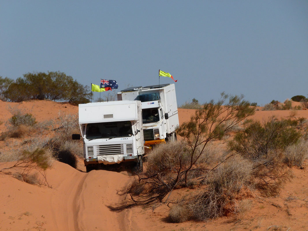
We continue on the WAA Line.
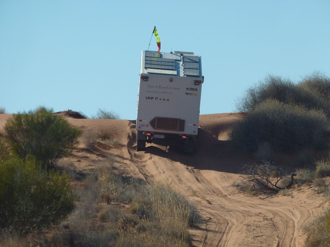
The dunes are much higher than yesterday.


It doesn't take long and we all have problems with passing them in the first go .... even the Troopy!

(photos: P&M)
But we manage!

As the temperature rises the sand gets softer and softer.
More and more we need more than one try to cross the dunes.


Removing the highest point of the dune is a useless try ... the next dune will pose the same problem ....
Pictures and videos do not really show how high and steep the dunes are.


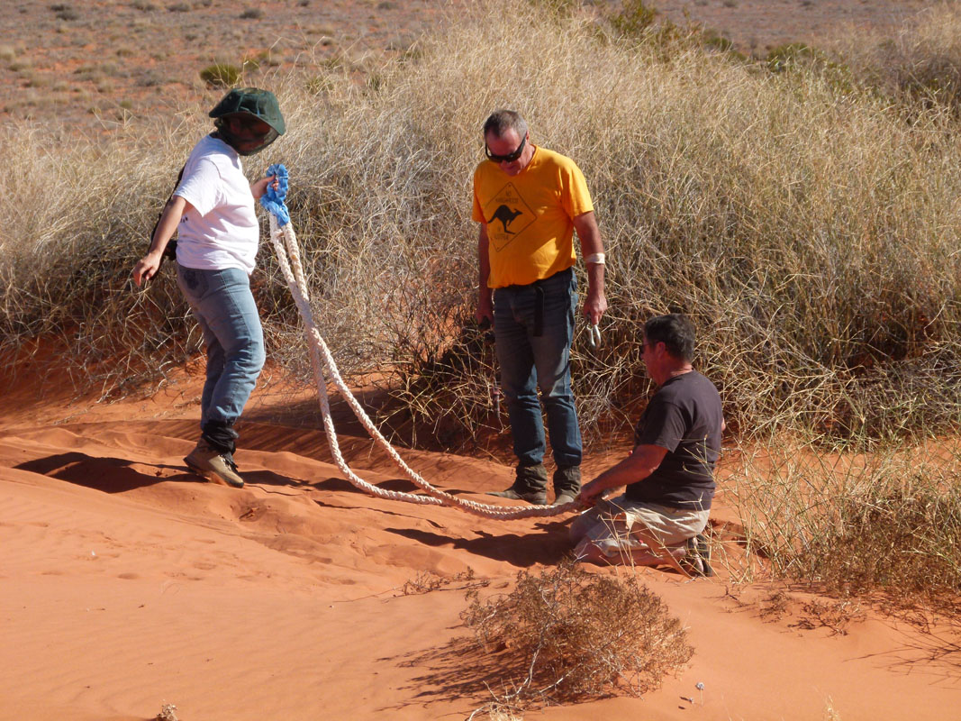
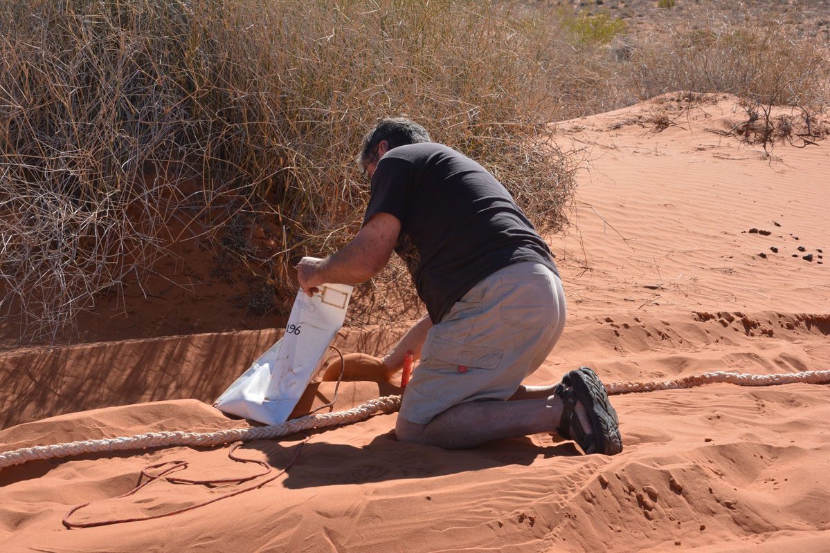
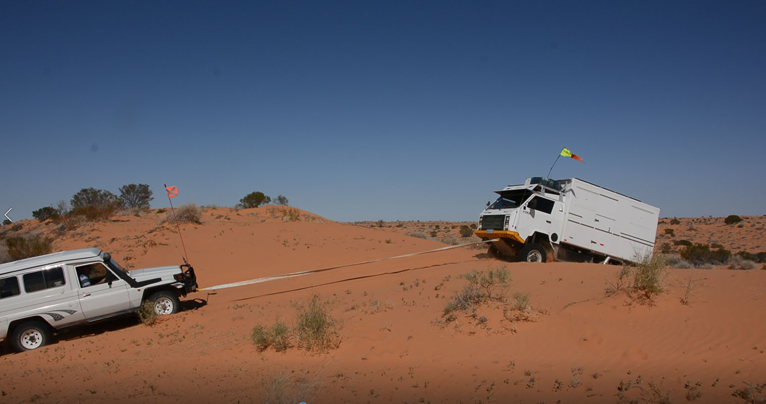
Peter wants to snatch us using an elastic rope (snatch-strap) ... and try his new gadget: bags that can be filled with sand and hung over the rope.
In case the rope or a shackle would snap these bags would stop the flying object and drag it into the sand.
Many people already lost they life when hit by a shackle flying through the windscreen or the rear window of a car.


It works!
And once the job is done the sand is emptied out of the bag..... no weight to carry, just an empty bag .....
Click here to view a movie on snatching our OKA.
We lower the tyre pressure to 20 PSI ...... or even more ...
But now we have to be careful with the tyre temperature.
The side of the tyre that faces the sun warms up to 55 – 60 °C ..... a bit too warm ...
   
Then it is Peter's time to require a bit of a snatch ......
Click here to see the Toyota snatching Peters OKA.
Until they are ready and the action starts we usually have a bit of time to look around.
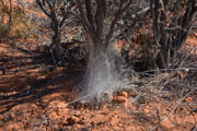 
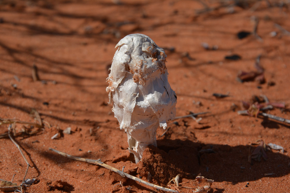
Interesting spider web ............. probably the remains of a mushroom .....

... and broken glass ... as if it would compost!
Sadly some idiots just never learn ....

(photos: P&M)
As we travel a dingo decides to run ahead of David & Gioia's Troopy for quite a while.
So the next announcement from David is:
"WAA .... one Dingo and 3 vehicles heading east"

It gets warmer and we see 27.5°C on the thermometer.
We reach the Erabena Junction and shortly after we find a claypan where we settle for the night.
Even though it is only 3 PM we decide that it is "beer o'clock" ...
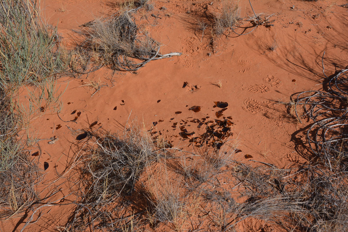
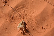
We find some interesting sand "pictures" .....


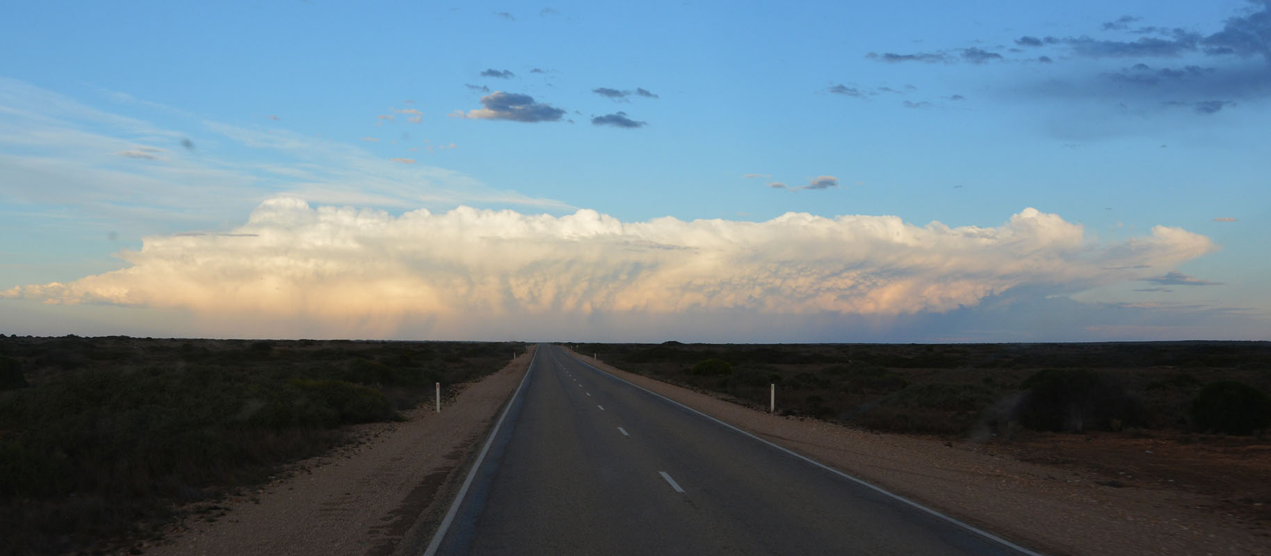
Clouds are coming in again and produce a very colourful sunset.
In the evening we all get together in the mozzie dome and watch Brett's (an WA OKA owner) movie about his Simpson Desert crossing as support vehicle for 4 paraplegic quad riders.
After the movie the clouds have dispersed and the sky is clear again .... and the temperature drops to 5°C .....
On Tuesday, May 8th, the sun wakes us again
At 8:30 AM everybody is ready and we hit the track again.
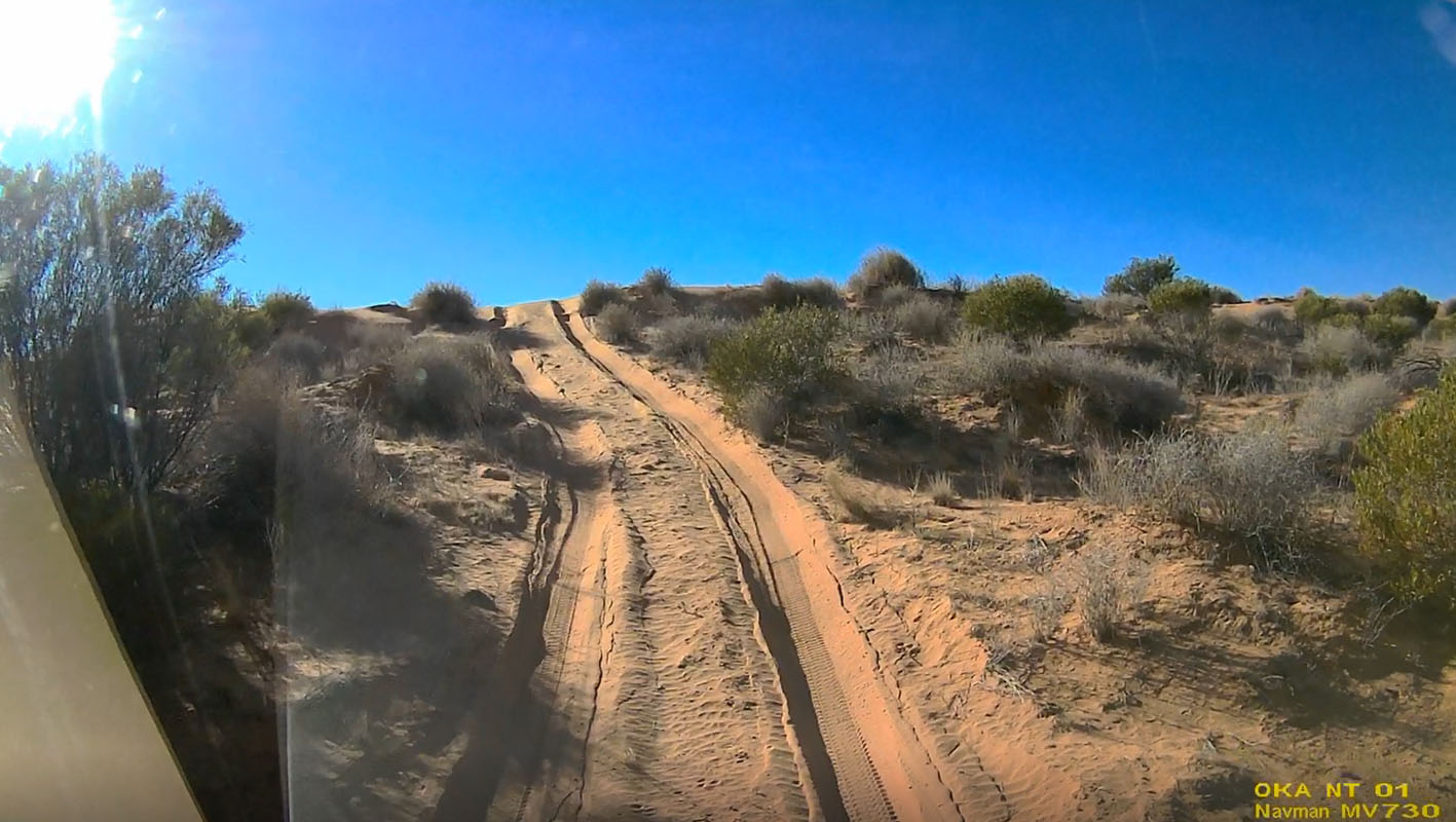
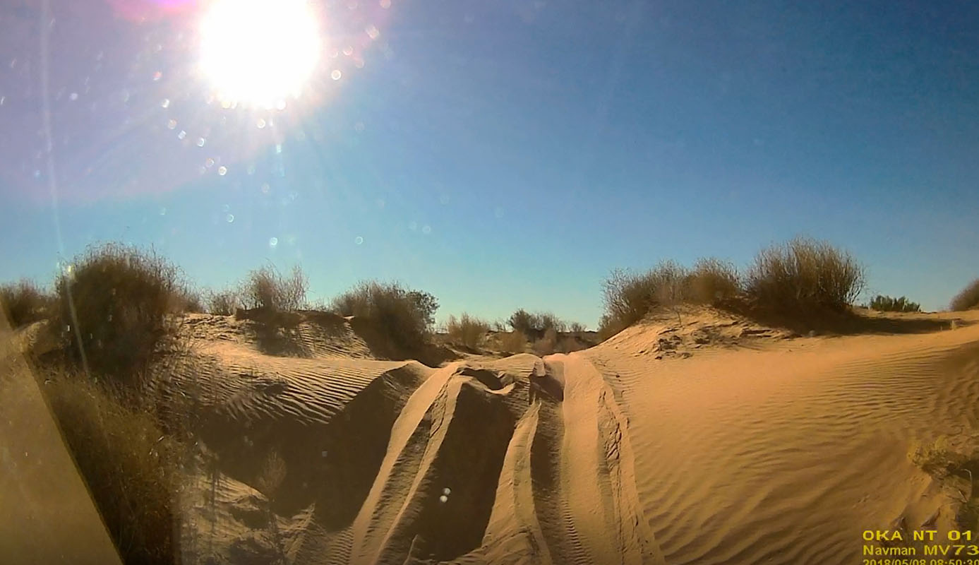
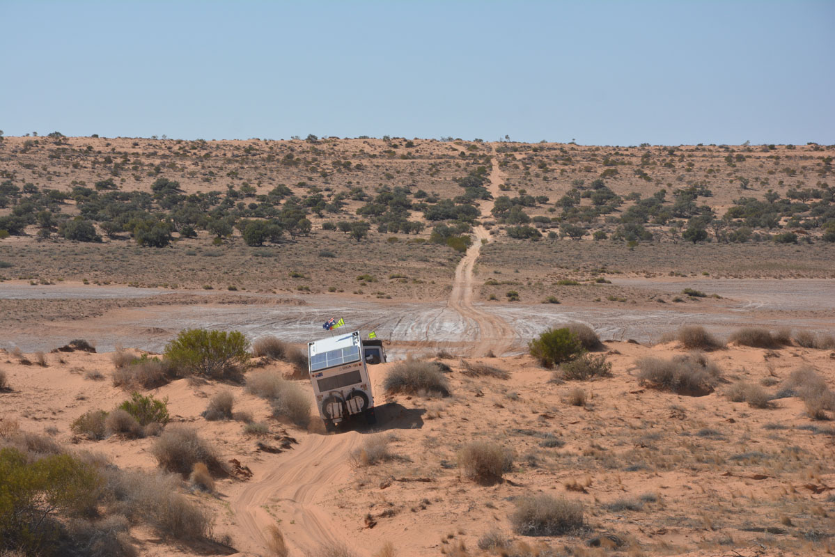
The sand is firm and we make good progress.
The track is more winding than yesterday.
In recent days or weeks sand has been blown from the east over the ridges (against us) so the crests are steep and very soft on our side.
  
The sand is so soft and the tracks so deep that we sink in down to the diff when crossing the ridges.

We stop to take some movies with the vehicles coming over the dunes.
Click here to view the movie.

(photos: P&M)
We reach the first salt lake.
It must have been wet just a short time ago but now is dry and causes no problems.
The following ones are fine too and soon after we reach the intersection with the Knolls Track.
We pump up the tyres a bit and head north.
Different to the Colson track this track is not in the valley but most of the time along the ridge.
Then it crosses the valley and is on the ridge of the next parallel dune.
It has a lot of large whoops and also the rocky parts are a bit of a pain mainly for the tyres.
After some 10 km we reach a valley that is covered with trees.
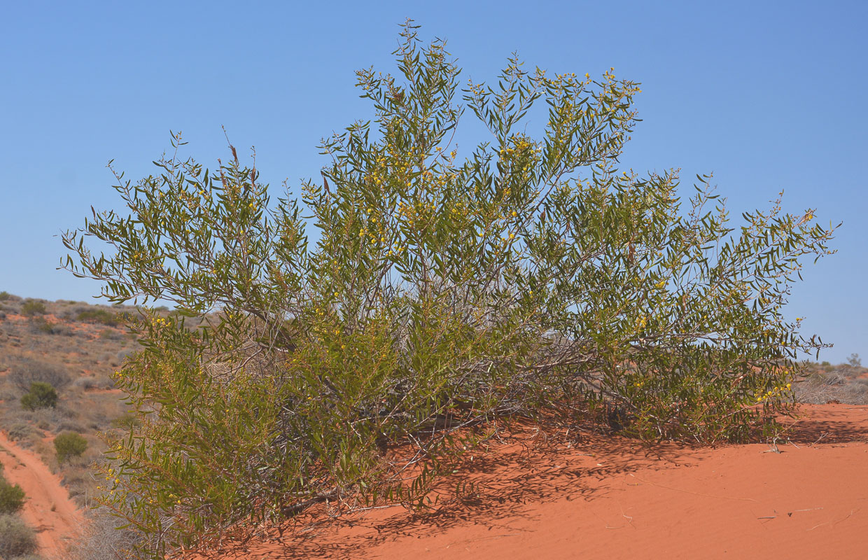
They are Gidgee trees (Acacia cambagei) and are affectionately called "the stinking wattle" due to the strong odour they omit during wet weather.
Gidgee trees are one of the few species of trees that can withstand the harsh desert conditions.

We also see this grass making funny formations ..... we have so far only seen it around Alice Springs and Uluru and here.

Here another interesting tree ..... no clue what it is ...... maybe a bootlace oak or cork tree (Hakea lorea)?
Any suggestions welcome!
This is the 3rd day that we don't see any other car ....
As we get closer back to the French Line we can hear the radio crackling ..... we are returning to civilization and to traffic .....

The closer we get to "The Knolls" the nastier the track gets.
The rocks are not pleasant to drive on ... but the campsite is great and makes up for it.
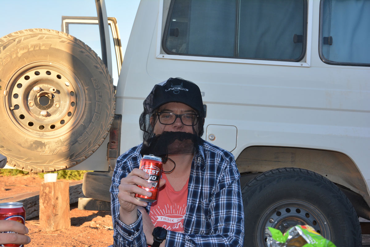
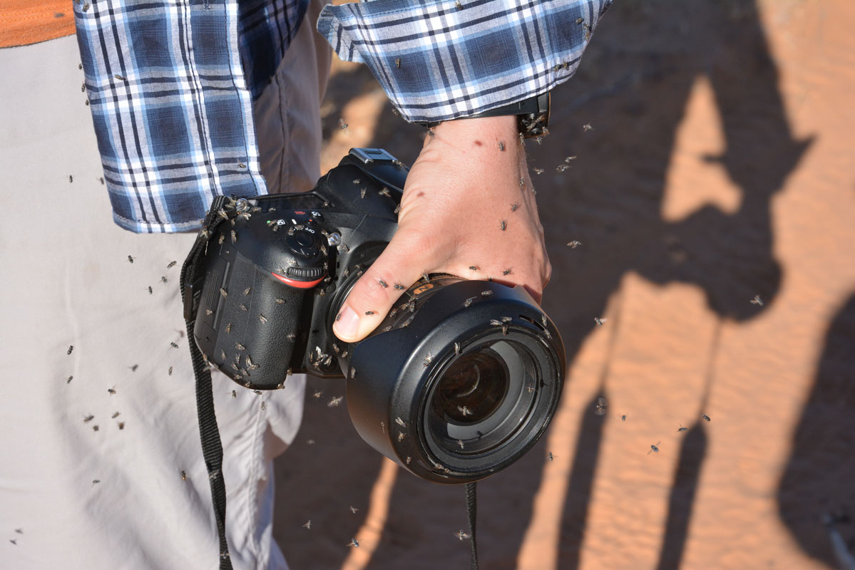
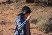
It is hot (32°C) and the flies are a real pest.
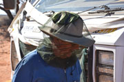
They are so bad that all (even Peter!!!) wear their fly-nets.


Just look at the flies around the camera!!!!!!
Click here to view the movie.
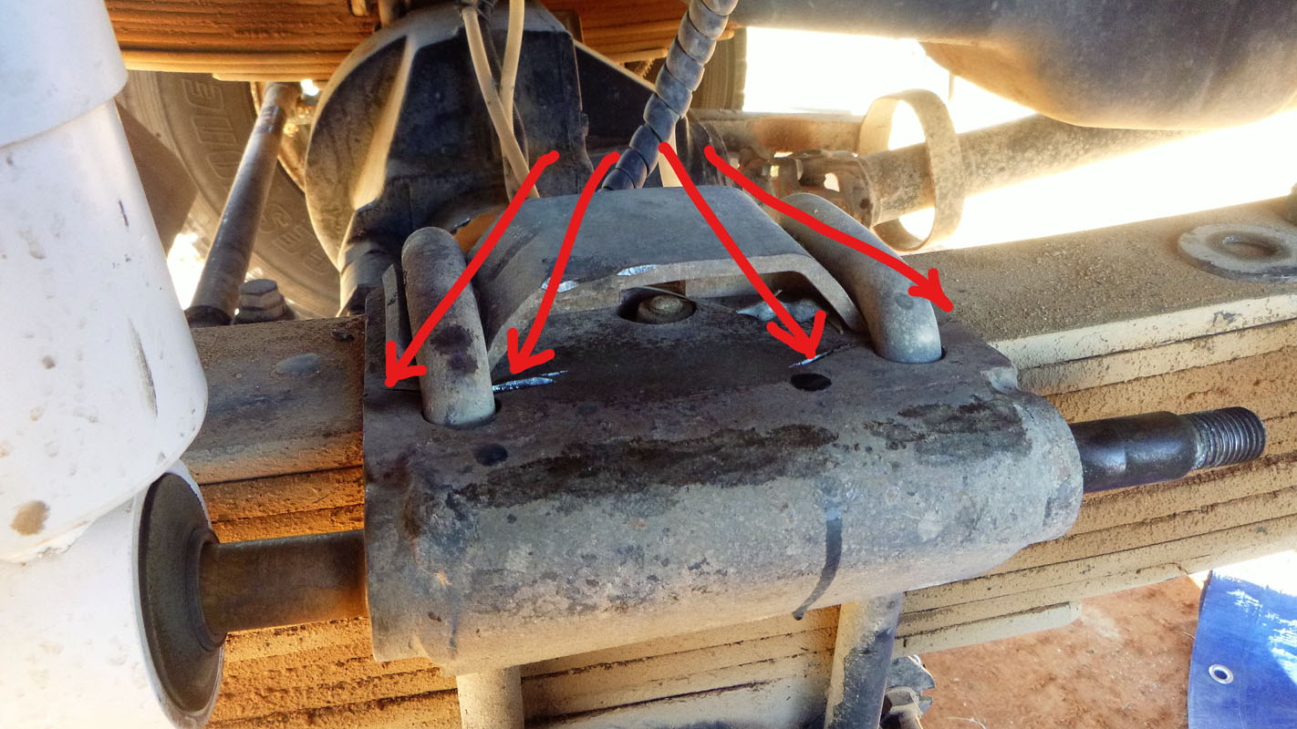
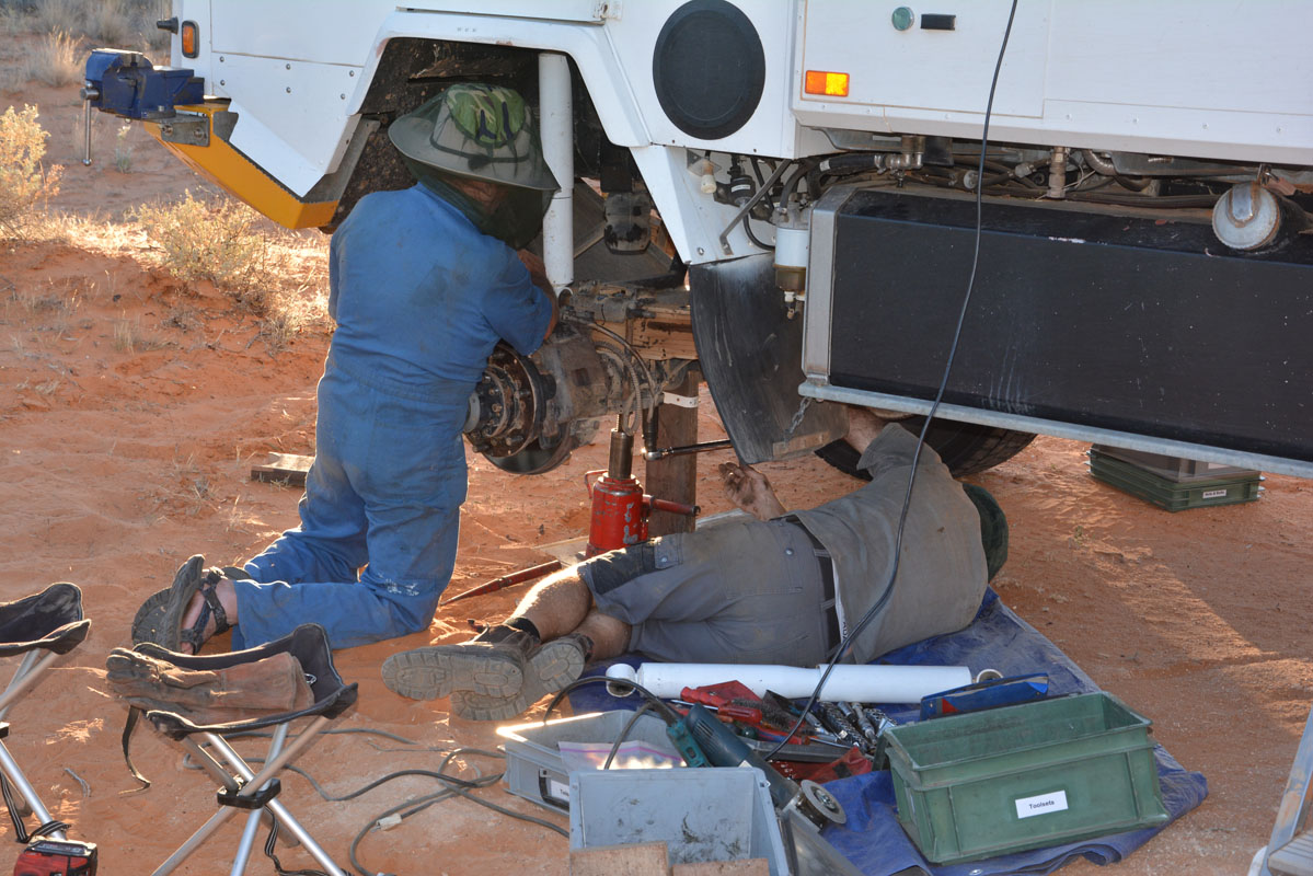
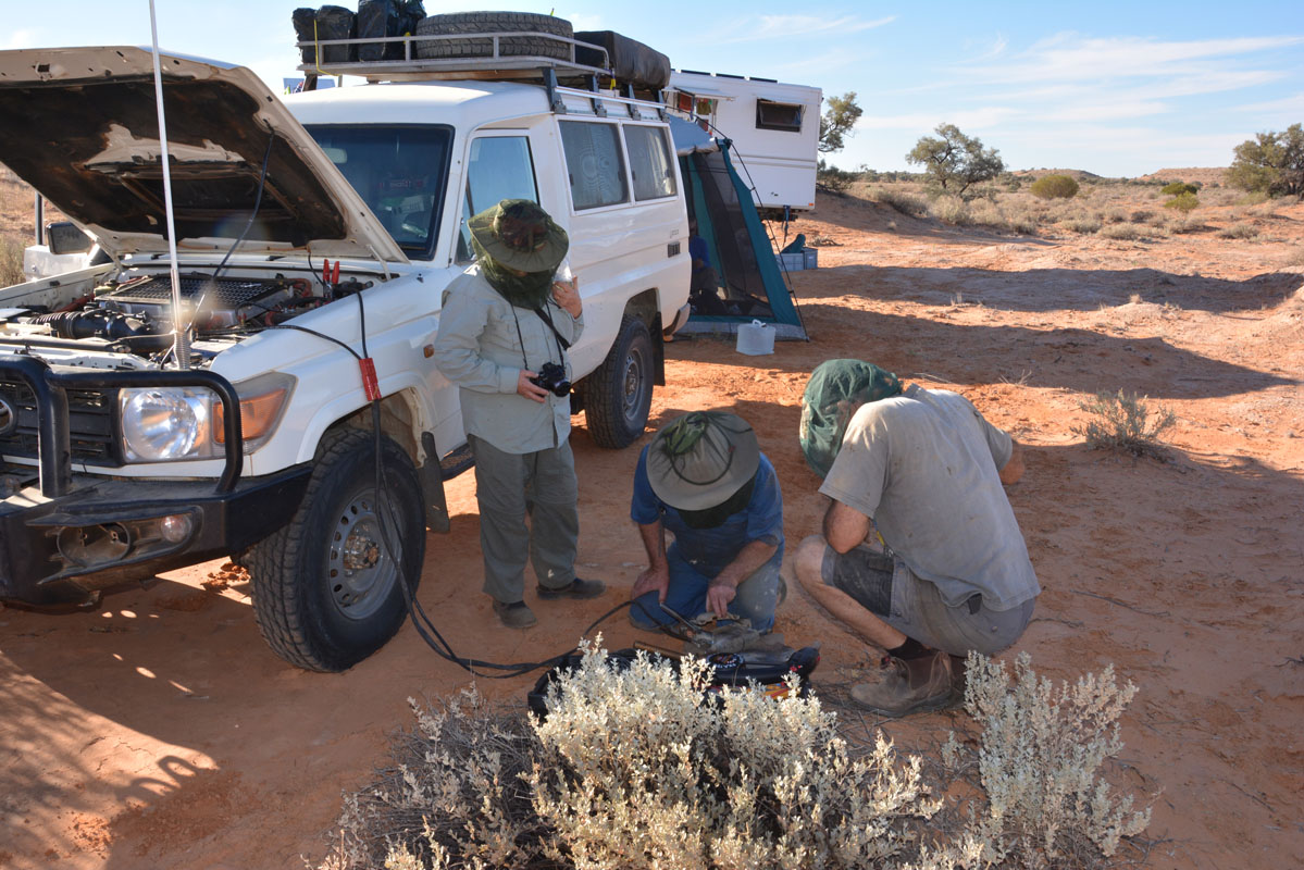
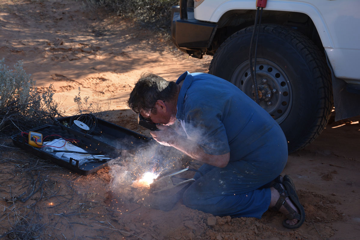
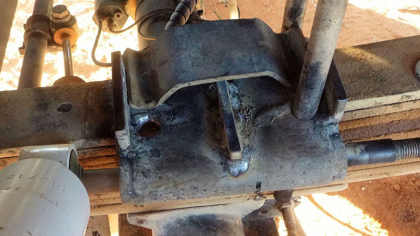
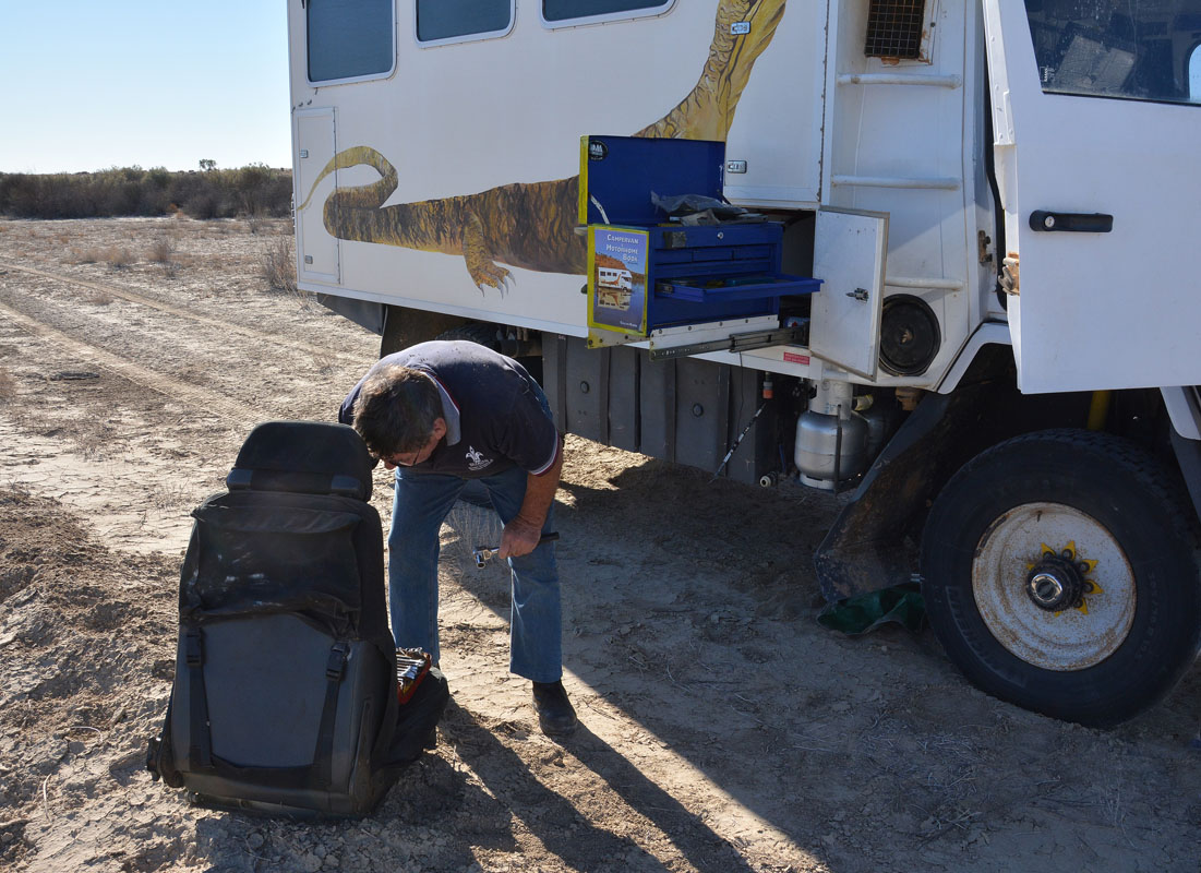
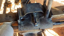
Ruedi checks the OKA because we have had some strange noises.


(photos: P&M)
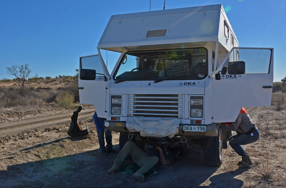
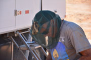
He finds that the front shockie mount on the left-hand side is cracked and 30° bent upwards .... it is time to get the big tools out!
First we hammer the bracket back to its original form.


It would not last this way for long, but Peter has an Arc welder.
Powered by the two batteries form the Troopy he does a great job and welds some reinforcement onto the mount.
(photos: P&M)
This will last for ever!


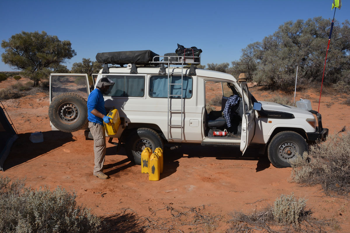
David refuels his Troopy and then lends a strong hand to tighten the screws.
In the late afternoon a German couple with a L300 (Delica) arrives.
It has been modified but still is not really a high clearance e vehicle.
We wonder if it will make it over the high dunes on the QAA ....
During the night the temperature drops to 5°C.
On Wednesday, May 9th, as soon as the sun rises the German couple leaves.
Good luck!
We decide to have a "lay day" and stay at our spot.
The flies are even worse than yesterday!!!!!!!
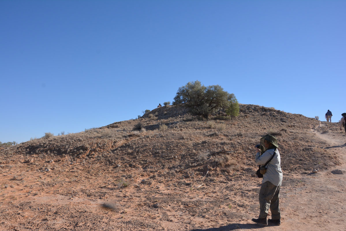
We get our day packs and head over to "The Knolls" (official name: Approdinna Attora Knolls), two small hills named that way.

A track leads up to one hill.
At the bottom of it there are some information signs.
Here some extracts:
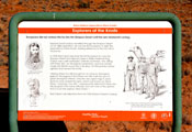 |
Explorer David Lindsay travelled through the Simpson Desert on his 1886 expedition.
He was the first European to sight the Approdinna Attora Knolls, making reference to the two hills in his journal.
In 1936 Ted Colson became the first European to cross the Simpson Desert from Bloods Creek in Witjira National Park. Colson was a self-confessed 'ordinary bushman' who along with Peter Ains, an Aboriginal companion, and five camels made the 960 km round trip in 36 days.
On this journey Colson sighted and named the Knolls.
"Seeing these two hills brought to my mind an Aboriginal legend.
The legend is that these two hills mark the spot of great Aboriginal interest.
Only the very aged men in years gone by ever neared this spot, which was known as 'Abra Atora', meaning 'two hills'.
I subsequently asked that these two hills be given that name officially, but I am now of the opinion that it is not the original 'Abra Atora'."
Ted Colson's recollection from his 1936 Simpson Desert Crossing. |
 |
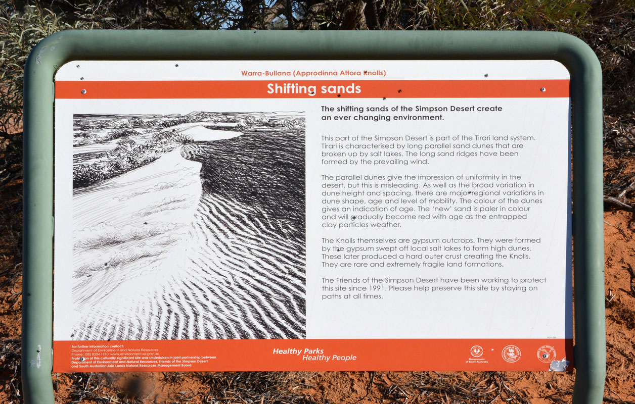
The shifting sands of the Simpson Desert create an ever-changing environment. This part of the Simpson Desert is part of the Tirari land system. Tirari is characterizes by long parallel sand dunes that are broken up by salt lakes. The long sand ridges have been formed by the prevailing wind.
The parallel dunes give the impression of uniformity in the desert, but this is misleading.
As well as the broad variation in dune height and spacing, there are major regional variations in dune shape, age and level of mobility.
The colour of the dunes gives an indication of age.
The 'new' sand is paler in colour and will gradually become red with age as the entrapped clay particles weather.
The Knolls themselves are gypsum outcrops.
They were formed by the gypsum swept off local salt lakes to form high dunes. These later produced a hard outer crust creating the Knolls. They are rare and extremely fragile land formations. |
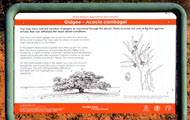 |
Like many arid trees gidgee are long-lived and slow growing. While small in stature the trees take hundreds of years to reach their mature size of 5 to 8 metres.
And some advice from Parks & Wildlife Services ...
In the desert dead wood is sparse and often sought for camp fires.
This wood is precious as it provides shade, shelter and homes for a variety of birds, mammals, reptiles and invertebrates. Dead wood also provides important organic matter for another generation of trees and shrubs.
Please use wood sparingly.
On the north-eastern end of the desert you may find Acacia georginae, which looks like and is closely related to Acacia cambagei.
The only distinguishable difference between the two is georginae's curled seed pod. |


The view from the top ....
It is hot (31°C), no wind and again the flies are a real pest.


We find plenty of things to have a closer look at the bottom ....no, not the flies!!!


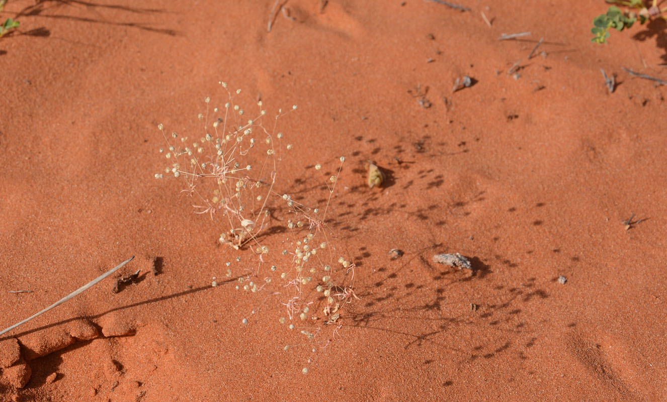
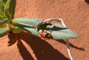
Ants are busily taking some of the blue bugs we had seen earlier into their borrow ....

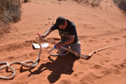
On the way back, Peter spots a pretty snake.
It is a Western Brown Snake (Pseudonaja nuchalis) or Gwardar ... very fast, highly venomous ....
(According to Wikipedia, the name "Gwardar" means "go the long way around" in an Aboriginal language .....)
Click here to see the beautifull snake.

...... plenty of objects for the busy photographers ....
In the afternoon we take it easy.
We see at least 6 vehicles drive past .... some of them twice ....
"Beer o'clock" is followed by a joined dinner.
During the night it stays relatively "warm" with 12°C.
On Thursday, May 10th, we head north on the Knolls Track until we reach the French Line again.
When Gioia announces us another group of 3 vehicles announces their presence as well.
Soon they catch up with us and see that they are the group we saw drive past the camp twice yesterday.
They are searching Geocaches.

Our sand flag needs a new cable tie ...
We head east on the French Line.
The sand seems to be softer then yesterday.


(photos: P&M)
Soon we reach the first dunes with the "steep" top.
More and more the OKA has problems with the last few meters.
Two vehicles announce themselves.
We reach a dune with a curve almost at the top (called dog-leg) and the speed just drops ...... and then the OKA digs itself into the sand and gets stuck on top of the ridge.
"Peter, we need a snatch ....."
 
One of the oncoming Toyotas decides to snatch the OKA out.
The third snatch finally is enough to get the OKA out of its bog.
It was actually a very dangerous snatch because the speed of the Toyota was far too fast, the snatch-strap too strong for the Toyota and the shackle too small.
Click here to view another snatch.
We have more and more problems.

(photos: P&M)
We lower the tyre pressure even further to about 10 and 12 PSI front and back.
Driving speed of course drops to max 15 km/h.
This helps and we manage all the remaining dunes.


We cross a few salt likes.
They must have been humid a short while ago .....
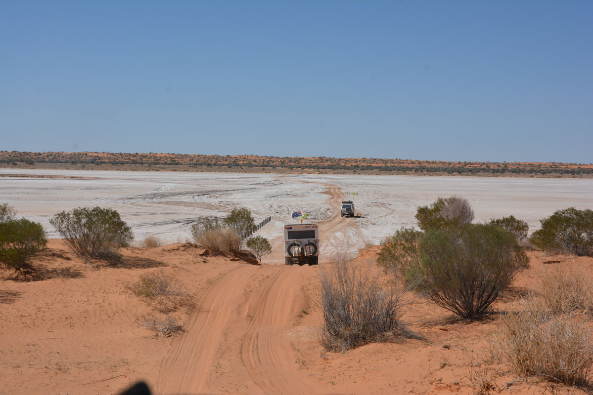
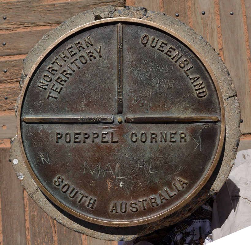
We head north on the K1 and reach Peoppel Corner (where Queensland, South Australia and Northern Territory meet) where we have lunch.

Here some of the information:
The were no lines on a map
For at least 5000 years the Wangkangurru mikiri-nganha people occupied this area. There were no true boundaries in the Lake Eyre Basin, only areas "owned" by groups, which were shared for ceremonies and exchange. Hunting on each other's land was by permission only.
The Wangkangurru traded with tribes to the north for ground-edge axes and to the south for traditional red ochre and sandstone grinding stones from the North Flinders Ranges.
This harsh country required ingenuity
Wangkangurru built dams across deeper claypans to prolong surface water.
When these dried up they camped near the 18 or so mikiri (native wells), hence the name mikiri-nganha (from the wells).
European settlement and pastoralism displaced tribes
From 1860 Europeans occupied tribal lands and attracted tribe members to pastoral properties.
Influenza decimated tribes in the early 1900s.
Finally, a severe drought drove the last Wangkanourru away.
Many posts still stand today
In 1879, Augustus Poeppel surveyed the Queensland - SA border for the SA Government. Starting at Haddon Corner he used pegs and mile posts of waddi trees from north of Birdsville, and coolabahs from the Eyre Creek area, to mark distance every quarter mile (approx. 400 metres).
Poeppel Peg placed
Poeppel reached the meeting place of the three states in 1880, marking the corner with a coolabah tree trunk (2.1m long by 0.25m in diameter) dragged 92km by camel across salt lakes and sand hills from the Mulligan River area.
His corner peg was placed in Lake Poeppel, 15 chains 75 links (274m) west of its present position, as Poeppel survey chain had lengthened one inch (2.5cm) from wear and heat.
Poeppel peg repositioned
In 1883 - 84, Larry Wells re-surveyed the border from a point near Birdsville and relocated the corner peg, which became known as Poeppel Peg, to its present position.
No recorded sighting of the peg again until 1936
Ted Colson (an NT grazier) and his Aboriginal companion Peter Aims found the peg when returning from the first east-west crossing of the Simpson desert by a non-Aboriginal person.
Poeppel Peg finds new resting place
Dr Reg Sprigg, with his family and survey team, located the peg while making the first east-west vehicular crossing of the Simpson Desert in 1962.
It lay in the dust, damaged by white ants and riddled with dry rot. Dr Sprigg replaced it with a trig station mounted in a 44-gallon drum and took the peg to Adelaide where it is in the History Trust of South Australia's Historical relics collection.
Today's corner post
Surveyor Bill Haylock of SA Geodetic Survey placed the current corner post on 25 August 1968.
Sadly, people have left their toilet paper all over the place.
We wonder (once again .....) what the (mainly) women think when they do this.
Funny thing is that, to whoever one talks to about this issue, they all say, that they carry a bag in their pocket for the used paper!
So, who leaves it, if everybody does the right thing .....?
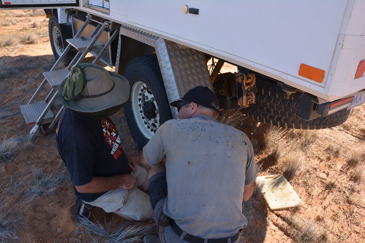
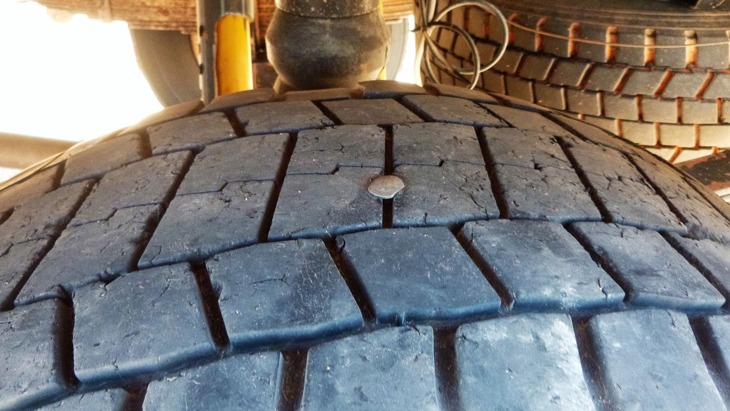
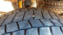
When checking the tyre pressure Ruedi sees that one of the tyres has a screw in it.
As the pressure does not drop he decides to have a look at it in the camp.
After lunch we continue on north.
We are now in the Munga-Thirri National Park (formerly known as the Simpson Desert National Park), the largest national park in Queensland (more than 10,000 km2).
Two vehicles pass us ...... they are in a rush ......
(Some people "do" the Simpson Desert Crossing in 1 - 2 days ........ )
We reach the QAA Line and head east.
A strong southern wind blows so we choose a camp on the southern side of the track to avoid being dusted by the passing traffic.
The wind is so strong that we cannot put up the mozzie dome.
But as soon as the wind drops the flies are a real pest.
We have never had them so bad!

(photos: P&M)
Ruedi and Peter inspect the tyre.
When they remove the screw they see that is a short one .... the ones they used at Poeppel Corner ....
Luckily it does not go through the steel belt!
We have a good evening in Peter & Margaret's OKA .... thanks for that!
The wind blows all night and the temperature drops to 10°C ..... not too bad ....
On Friday, May 11th, the sun shines but it stays cool.
This makes the driving easy.
The sand does not get too soft.
We continue east.
There is plenty of traffic.
The largest group we see is a tag-along group of 9 vehicles .....
At one time a lone bike rider comes towards us, flying over the dunes .... probably training for the Finke Desert Race that will happen on the second weekend of June ....

We cross a few salt lakes.
Luckily, they are all dry.
The tracks show that there had also been water just a short while ago.

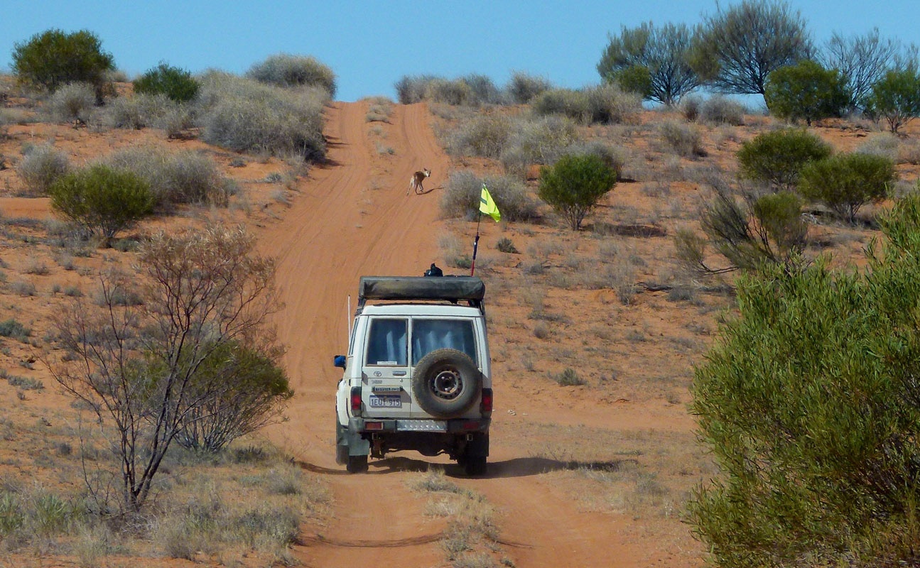
We see a Dingo and some Emus but even though one oncoming car tells us that there is a Camel we cannot see it ....
The vegetation changes rapidly.
One valley is green the next one is dry ..... one has trees .... the next one has no trees.....

(photos: P&M)
The dunes get higher and higher .....
Shortly before lunch time Peter's oil gage goes crazy.
The cable has broken,
During lunch he fixes it and we are off again.
We reach the end of the National Park and enter station property.
By now the temperature has reached 22.5 ° C .... the maximum for today ....

The country changes very quickly.
Now we have dunes and dry creek beds.
Gums grow in the creek beds.
They get taller and taller.
We stop at Eyre Creek for the night.
We have a bit of a problem finding the designated site so we stop where there are the most tracks.
The wind still blows too much and we cannot set up the mozzie tent.
But as tonight is our night for cooking it does not matter that much.
  
There is time for the photographers again ......
The wind is cold so we have "beer-o'clock" in Peter & Margaret's OKA.
Then Gioia and David join us in our OKA for dinner.
During the night the temperature drops to 4°C but with the wind it feels much colder.
On Saturday, May 12th, already the first dune causes some grieve to Ruedi ...
(photos: P&M)
We require a few "dry runs" up the dune to flatten the horrible whoops and "re-build" a flat track ... but then all goes well.
The wind has blown even more sand onto the western flanks of the dunes making them quite soft and high from the eastern side.
 
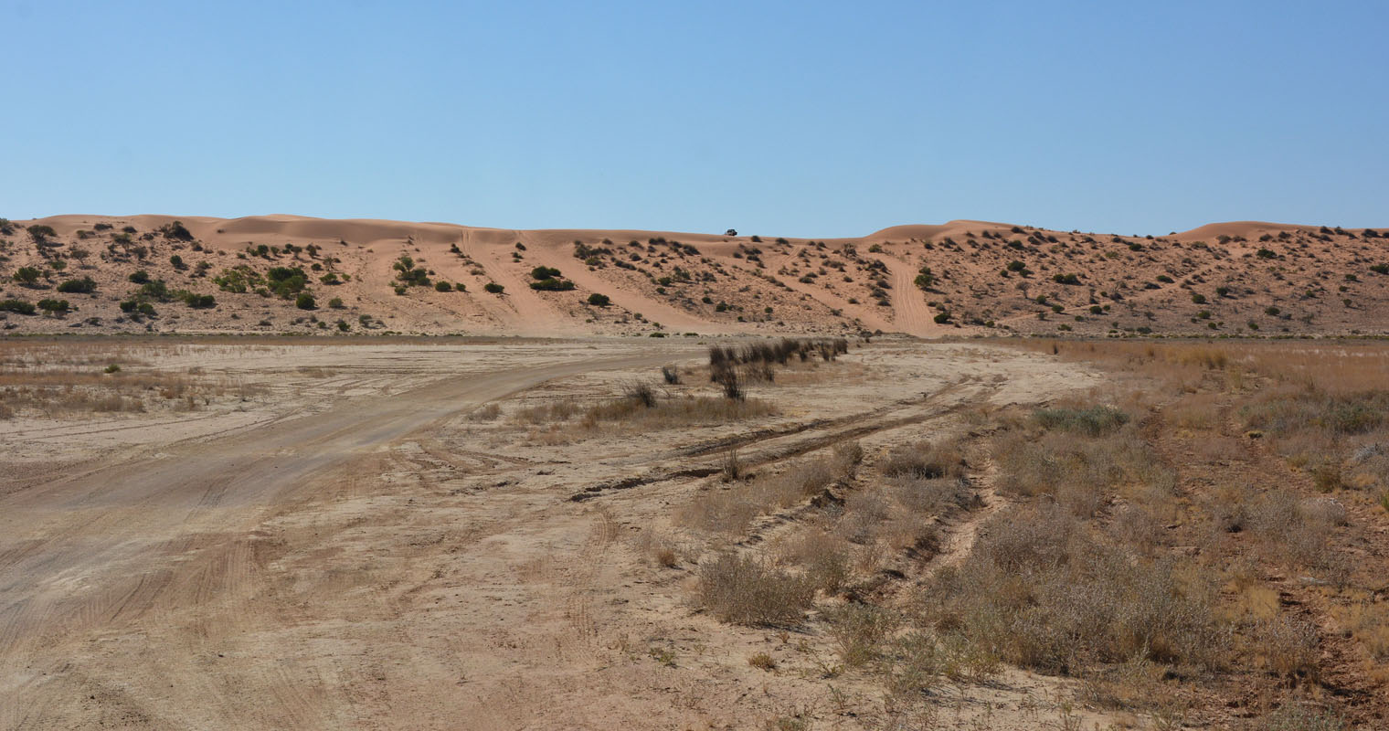
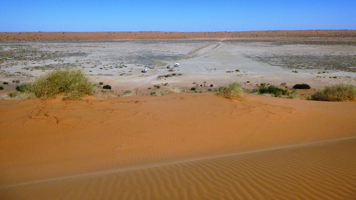
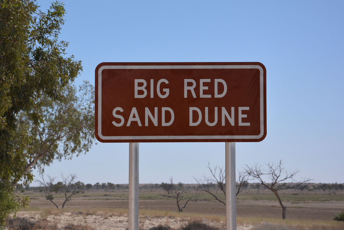
We get closer to the "Big red".
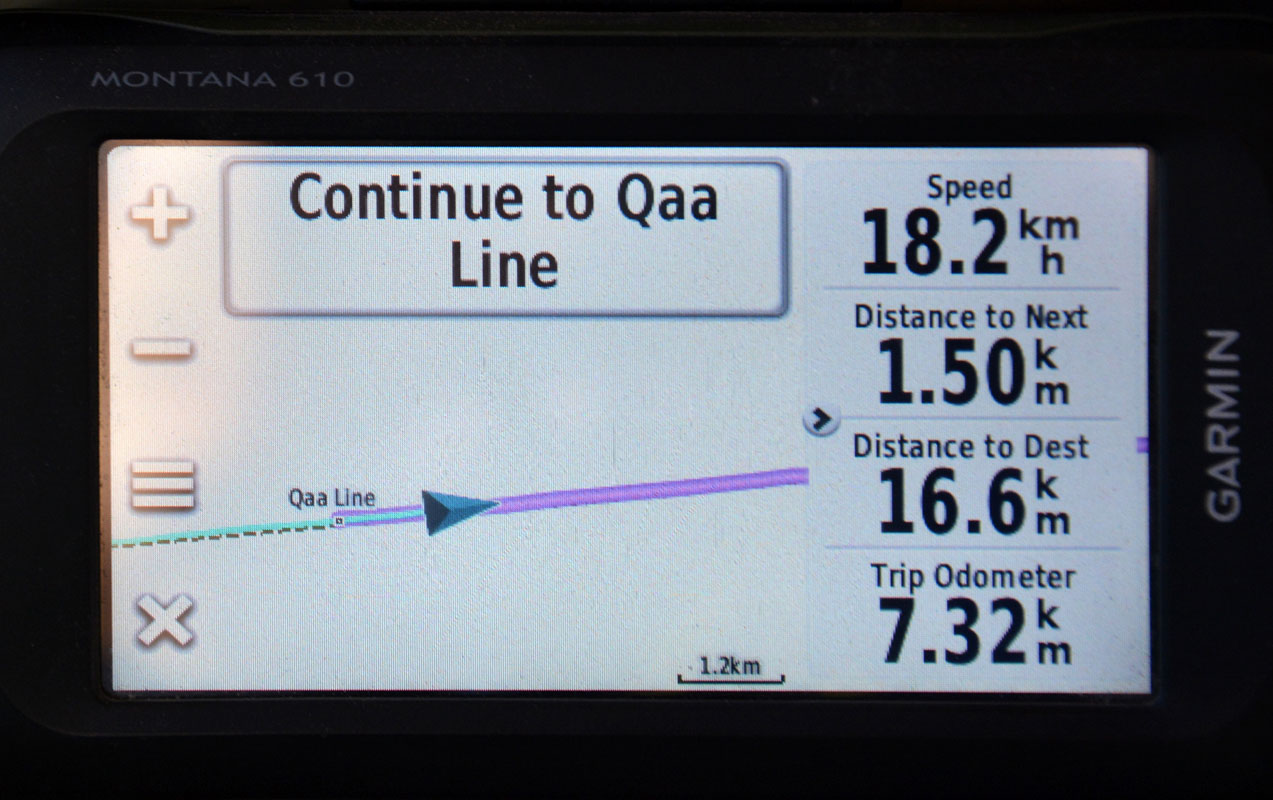
The GPS shows the "chicken run" as well .... the easier crossing .....

Then we reach the "Big red".
For many off-roaders it is a "must" to make it once to the top of the Big Red.
It is a large dune but somehow compared with the other ones we have crossed, it does not seem to be too difficult ......

(photos: P&M)
The view from the top shows its height a bit better.


(photos: P&M)
Ruedi lowers the tyre pressure one last time to 10 and 12 PSI (0.68 and 0.82 bar).
Normal sand driving is around 30 PSI, bitumen around 70 PSI.
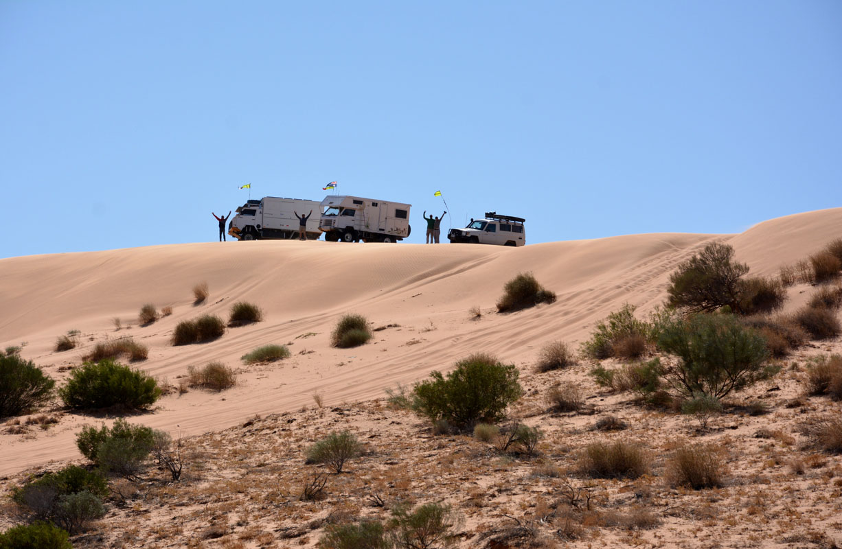
Amazingly all vehicles make it on top of it without an issue.

We did it! ................... hmmmmm ....... they did it ....
Peter & Margaret, who were here last year as well, think that it is less difficult this year.
It is photo time!

A police car also arrives on the dune.
They are from Mt. Isa ... on patrol .....
Good for us!
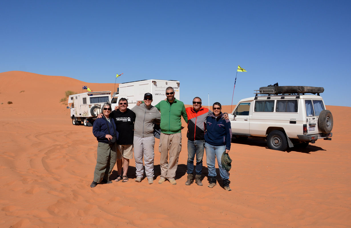
The boys in blue take our group picture!

It is time to pump the tyres again.
They wouldn't last long with such a low pressure.
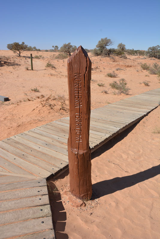
We are in Queensland now.
The time is another 30 Minutes different but we decide to leave our watches as they are.


We continue on to Birdsville.
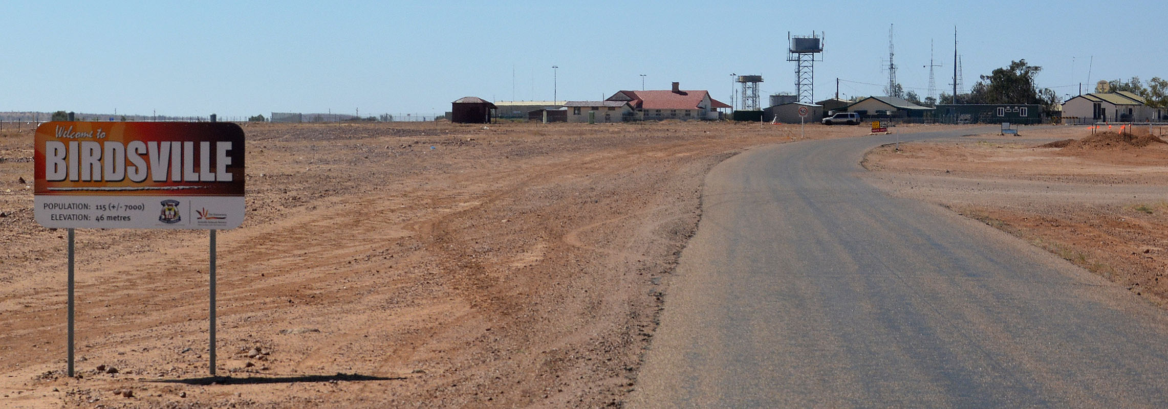
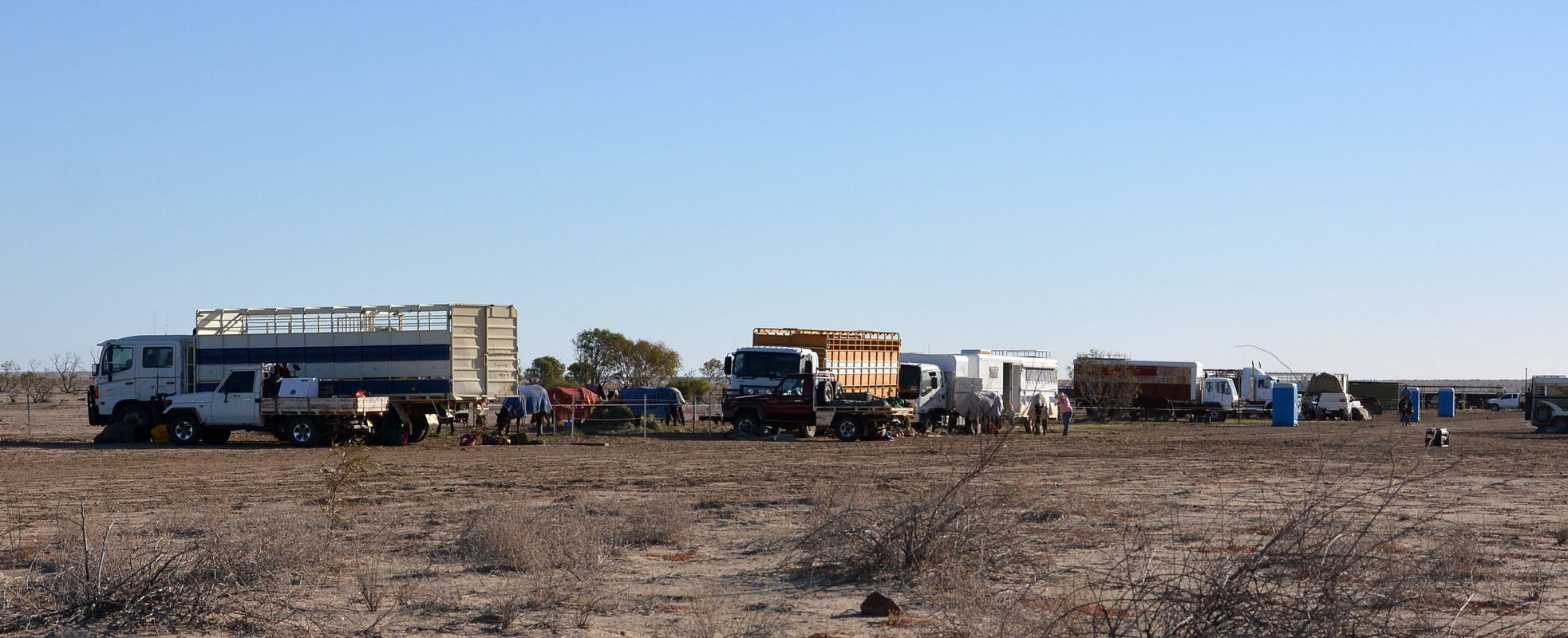
As we approach Birdsville we see some activity at the showgrounds.

The first stop is the rubbish dump point .... always an interesting point ......

We love the Birdsville-sign:
Population: 115 (+/- 7000).
Hmmm .... how much is 115 - 7000?
Does this mean that 6885 people have to come back before there is nobody in town!?
No, it is because of the races and the big bash, when the tourist flood Birdsville ....


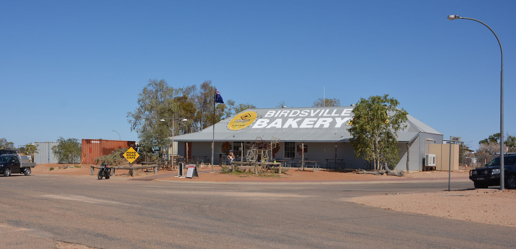
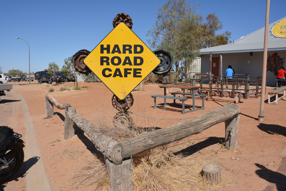
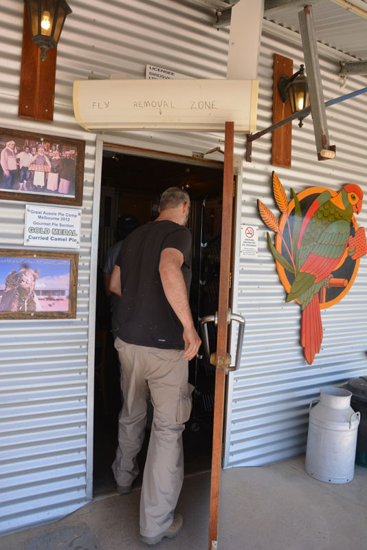
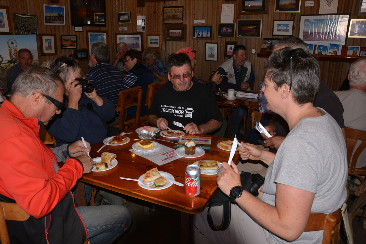
We head into Birdsville and have lunch at the bakery.

The "Fly removal zone" ..... the pies ..... yummy!
(photos: P&M)
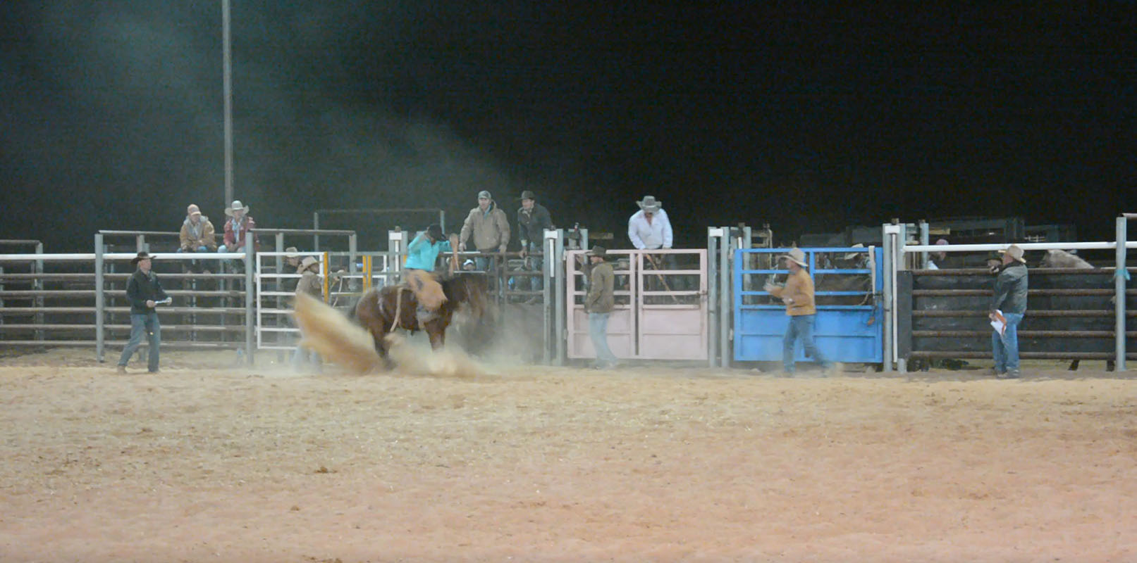
There we hear that tonight is a Rodeo and tomorrow some bronco branding.
So we head back to the showground and find a nice spot with some grass ..... just where the creek was a few weeks back .....
Some Galahs are noisily chatting .....
The wind is still strong so we set up the tent behind the OKA and use the OKA as anchor.
Telstra phone reception is good so we have some Internet-time.


Then Susi goes for a walk.
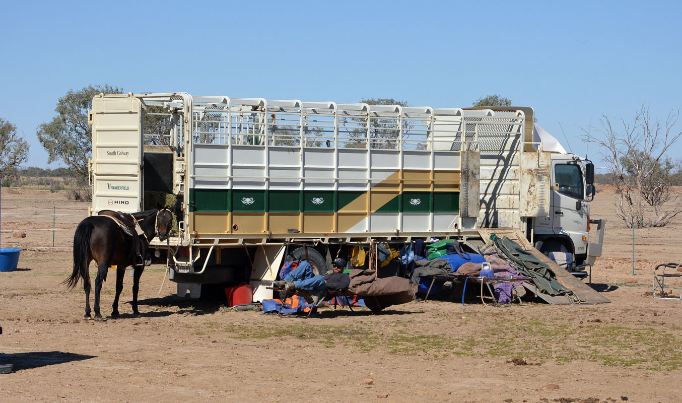
The locals are busy with their horses.
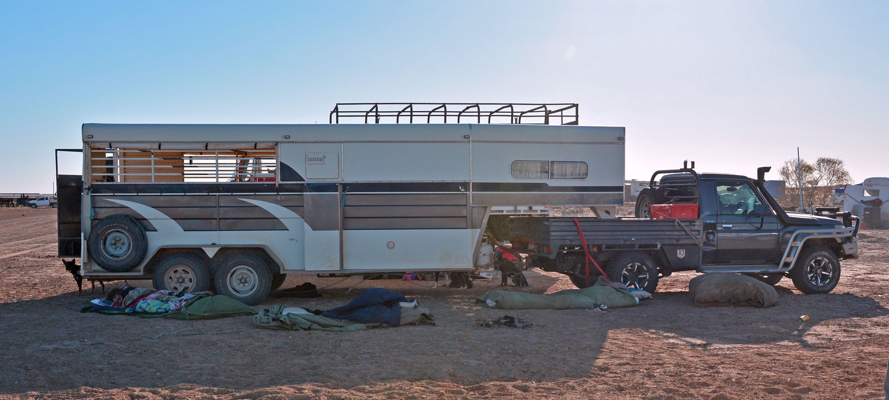
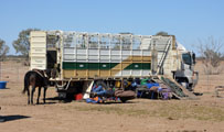
The variety of camp set-ups is large .....
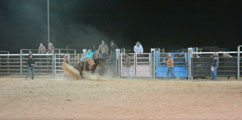
We go for dinner and stay to watch some of the rodeo.
Click here to see a bull-ride.
Click here to see a horse ride.
Suddenly a man says “Hoi Ruedi ...."
?????
We look a bit puzzled .....
He then says in Swiss: “The last time we saw each other we had a coffee in Alice ....
Click!
Yes, he had rented a camper from TCC and had had a problem with the oil and we had helped him.
Mind you, that is now 11 years ago .......
After a bit of watching it just gets too cold and we call it a night.
The temperature drops to 4°C .......

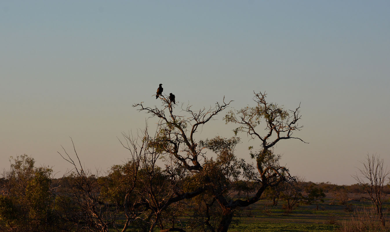
On Sunday, May 13th, two eagles sit on the tree close by.
They are not really disturbed by us.


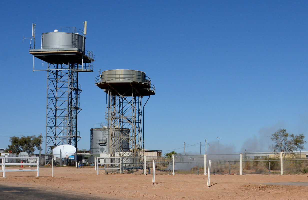
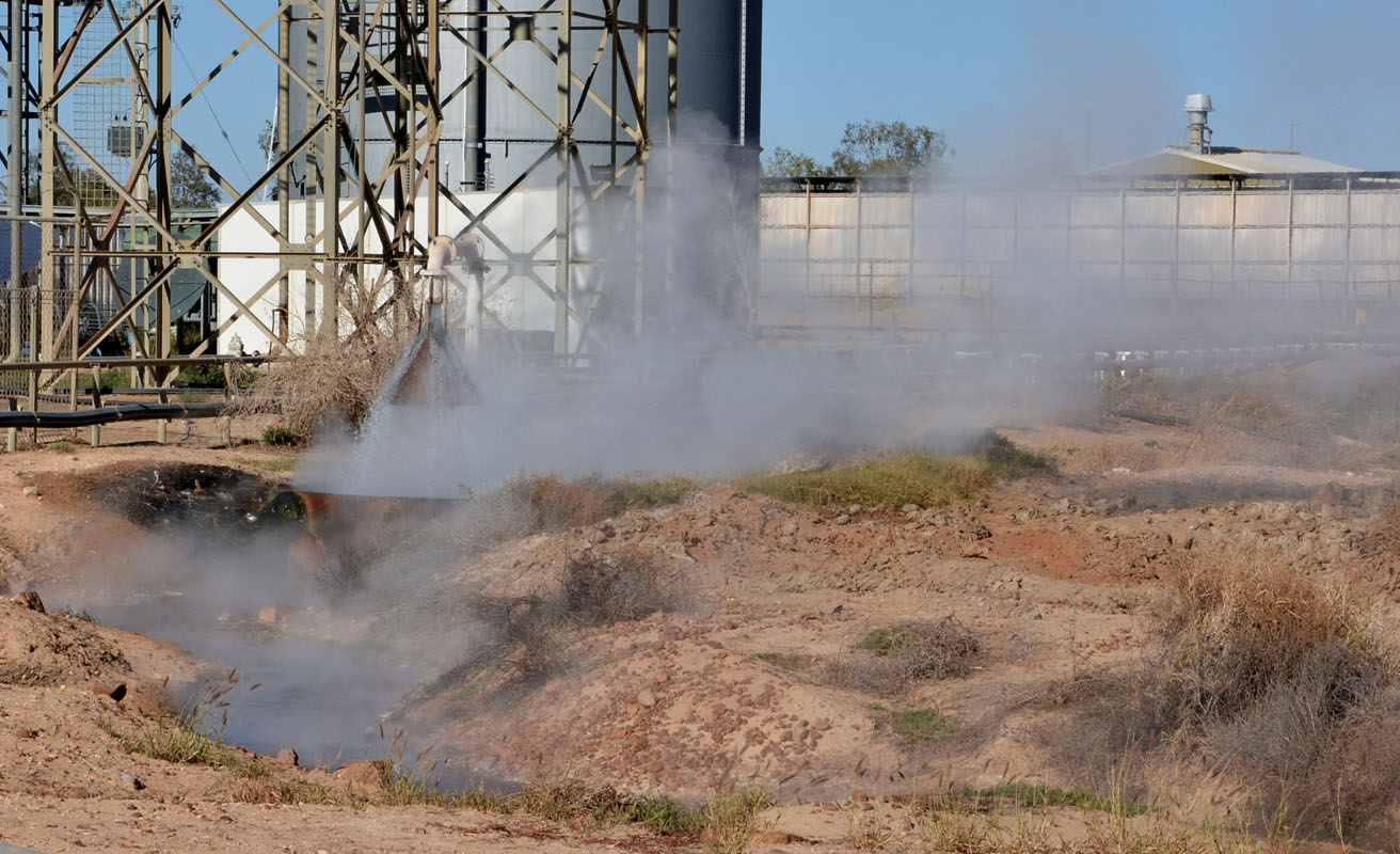
We head into town to get some water.
The water comes out of the ground very hot!

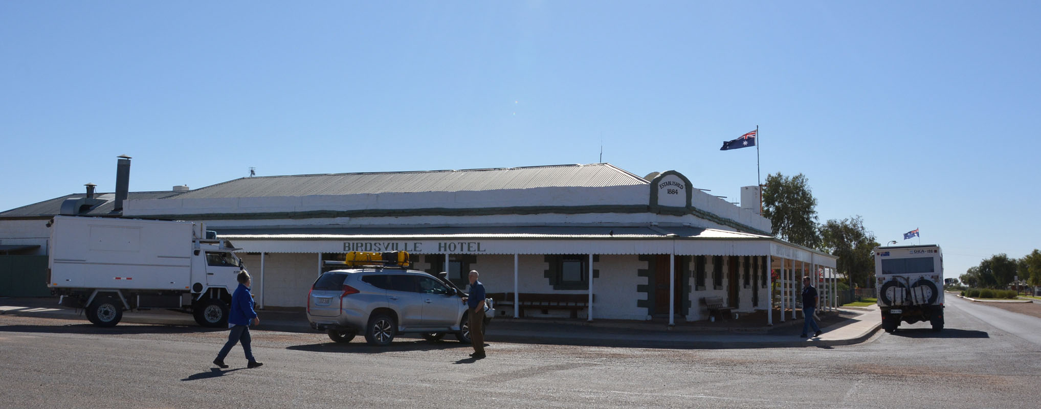
After the "must do" picture of the Birdsville Pub we head south.
 
There are still signs of the recent floods but the Birdsville Track is fine.

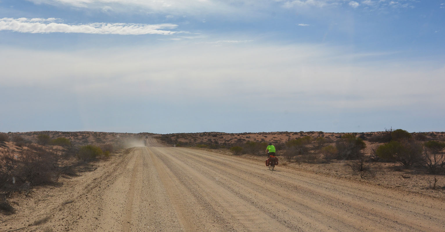
There is a bit of traffic .... also a bicycle .... tough people .....

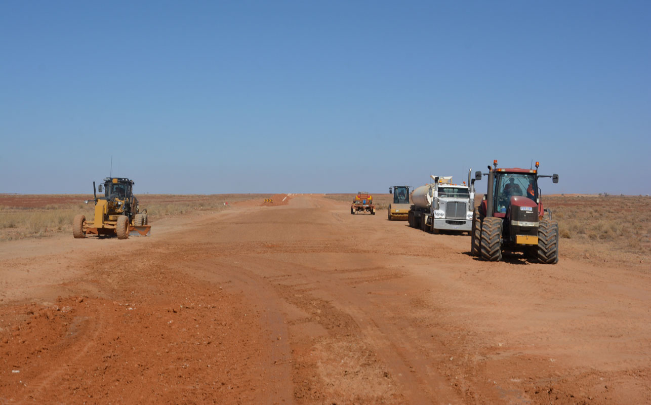
The track is being maintained.
Up to now we had been lucky and had not seen rain or mud.
But here with the water truck the vehicles get their share of mud!
We turn off onto the Walkers Crossing Track.
The fata morganas are amazing!
We had been at this dune with Ruedi's sister and husband in 2009 .....
We like this track.
It has a lot of different landscapes and beautiful colours.
Having been here before we know where we want to stay for the night.
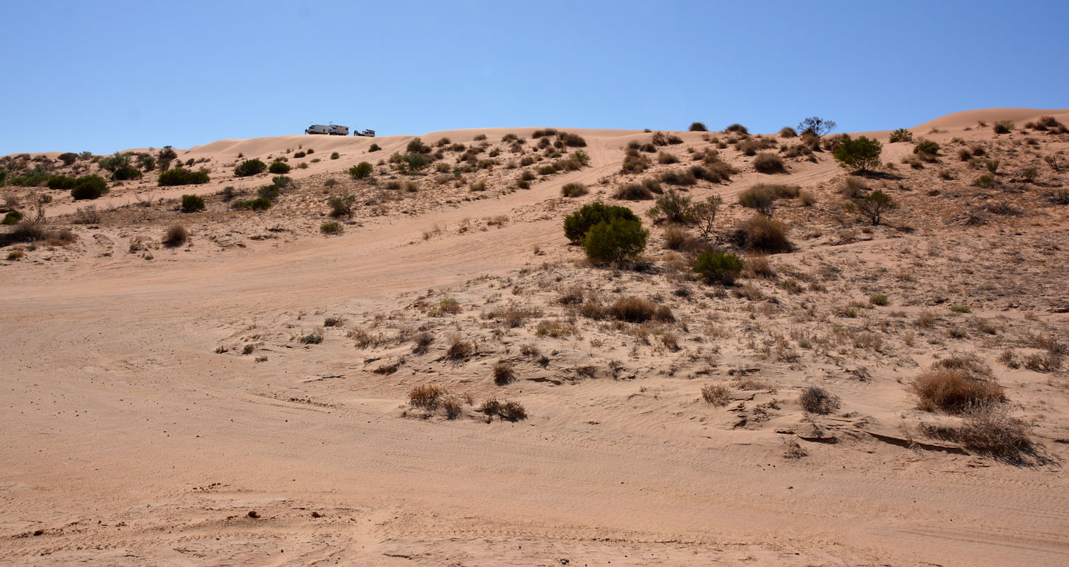
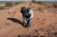
Ruedi and Margaret leave their "foot print" in the sand ... one each ..... to confuse who ever should look at them and wonder about the difference in size ....
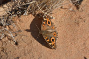 
Susi is amazed about the butterflies and how well they camouflage ....

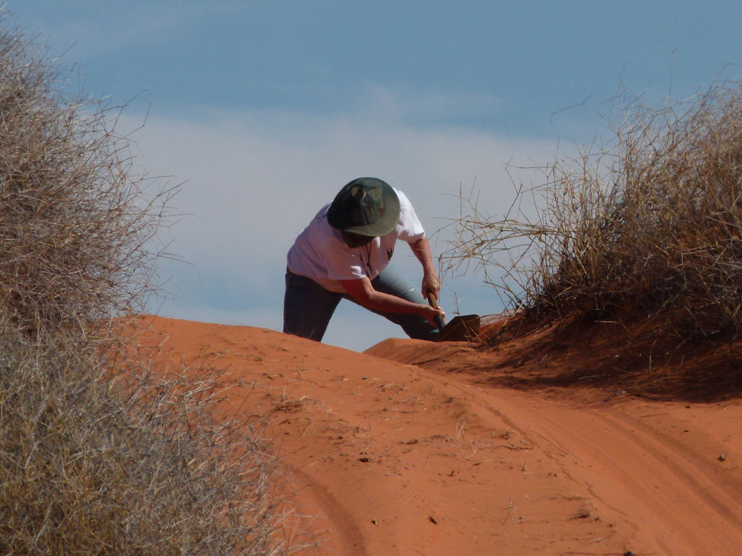
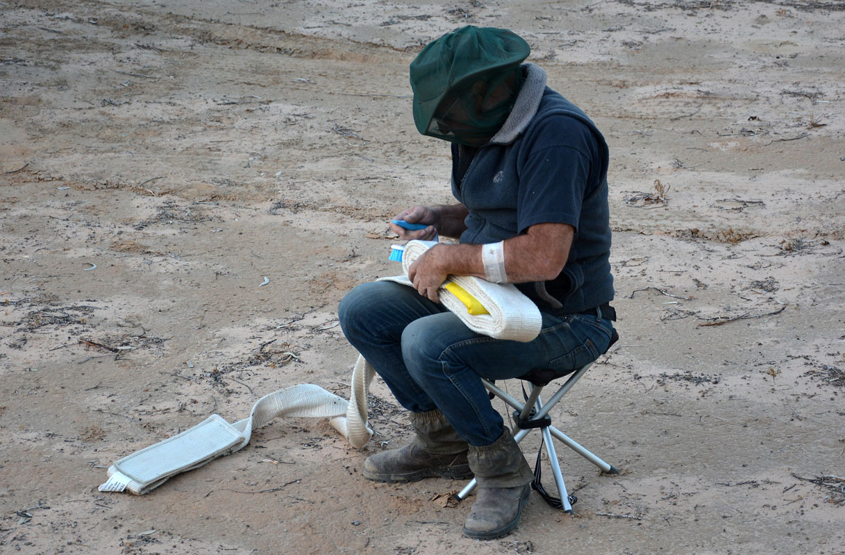
Then it is time for Ruedi to put the recovery gear away.
He does not realize that the ground is covered with small thorns and has to remove them in a lengthy process ....

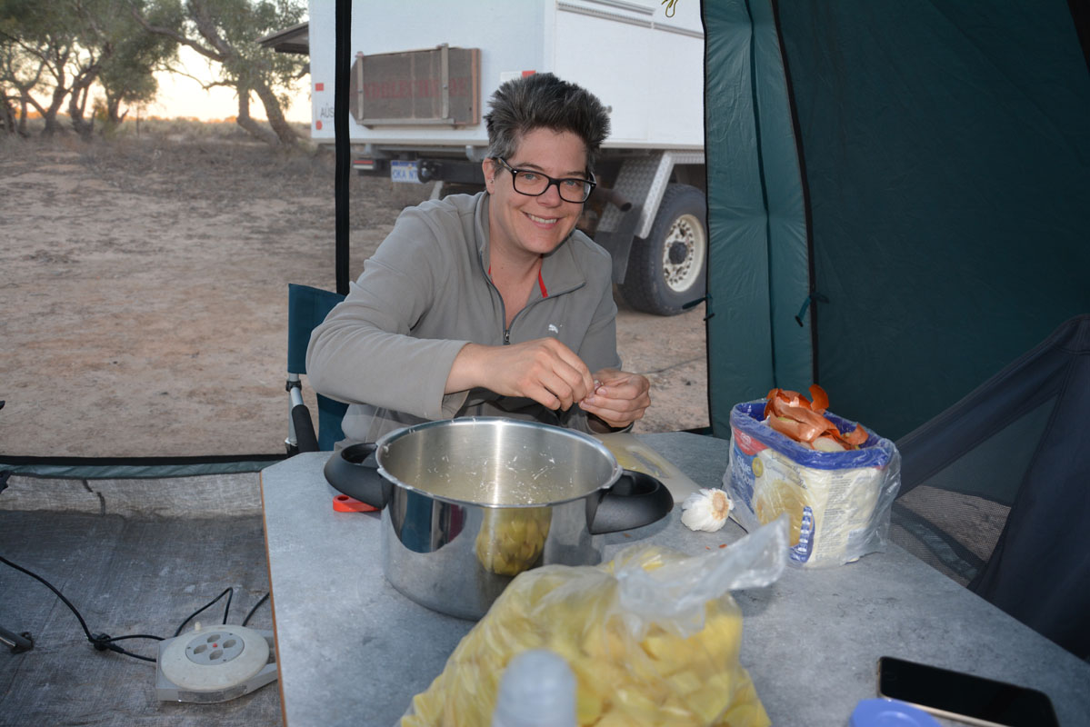
Gioia is preparing dinner.
It is our last one with Peter & Margaret and we will have it together.
During the night the temperature drops to 7.5°C ......
It will be another fresh morning to crawl out of the sleeping bag in the roof tent for Gioia and David.
Monday, May 14th, is another glorious sunny day.
But the wind is still blowing and it feels cold.
 
Soon after leaving the camp Peter & Margaret hear a "new noise".
Quickly they stop and the male members of the group quickly are busily looking for the problem.
Luckily it is only the speedo belt that has lost a screw.
This is quickly fixed and soon we are on the way again.
There is a fair bit of traffic on the track but mainly tourists.
The bridge is damaged and the by-pass has to be used and there is a fair bit of bull dust.
But otherwise the track is in good condition.
 
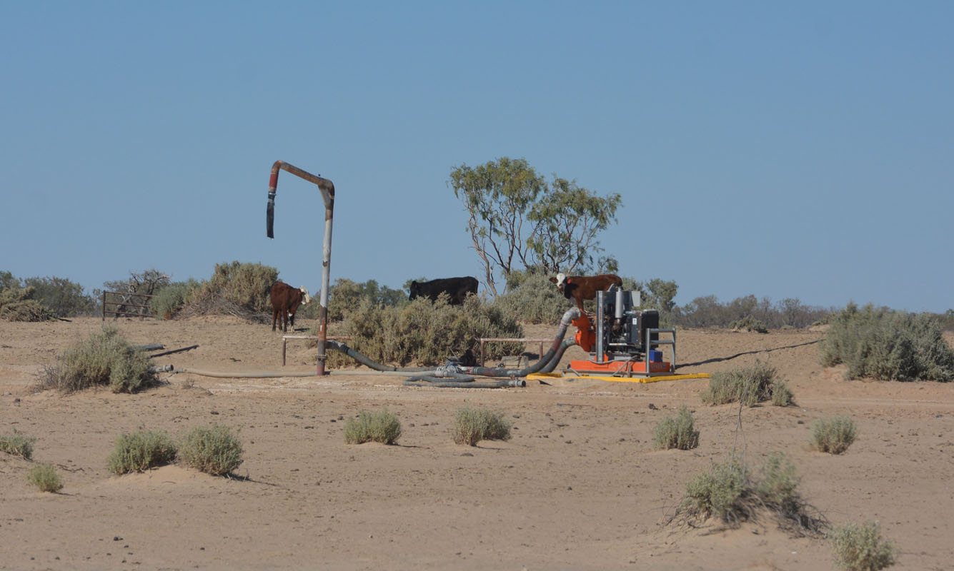
We wonder what the cattle out here eat!
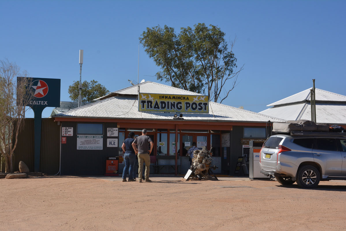
Then we reach Innamincka and head into the trading post.
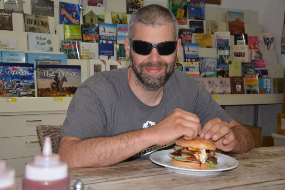
Lunch!!!!!
Then it is time to say good-bye.
Peter & Margaret leave us here and head home to Adelaide.
Thanks guys!
It was a great trip!!!
We take the Strzelecki track south pass the Moomba gas field and head to Klaus Bore, where we stay for the night.
And this is the end of this journal! |