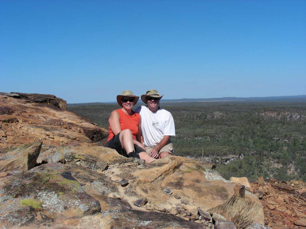
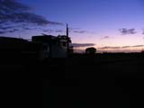
On Wednesday, May 2, 2007, after lunch we leave Susi's
brothers Bruno and Hans Peter's place in Merrimac and visit
Susi's
father in his nursing-home in Nerang.
He is in good shape
and happy.
But with his health … will
we see him again?
We head north towards Brisbane and leave
the highway in Pimpama to get some Swiss-style
small-goods at Goetzinger.
We are
invited at Napier's place today and will bring the
sausages for the BBQ.
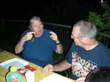
Napier is a friend of Peter and Margaret
(OKA 196). Up to now we have
known each other exclusively via email.

Napier
and his wife Marilyn are both are professors in communications.
Napier
is also the author of the beautiful short story regarding "The
Primus Lightweight Portable Toilet Seat" ... (to read
the article click here)
We have a great time and the evening is far too short.
The night is a fresh one again with only 13°C.
On Thursday morning we show the OKA to Napier and Marilyn.
Napier is working on his own camper back-section for a Toyota
Dyna 4x4 he has imported from Japan.
So many ideas are exchanged, pros and cons discussed.
Dear Napier and Marilyn.
It was fun at your place, thanks
for having us.
And thanks for the cooking Napier!
Then we head off to Keperra /
Ferny Grove (a suburb of Brisbane) to visit Michelle from
the "Pass the Post" mail service
(www.passthepost.com.au).
Michelle is our "mail
lady".
Our mail is sent to Keperra.
Michelle opens it all, scans
the important things and sends them to us as password protected
PDF-files in emails.
Every so
often we give her an address where she then sends the originals
to.
We are client 219, she has just had client 300 enabled.
We continue towards Mooloolaba where
we leave the Bruce Highway towards the coast.
Since Susi was here some 20 years ago things have changed
drastically. A lot of development has happened; there are
high-rise buildings and houses everywhere.
The access to
the beach is still guarantied but there is definitely no
more camping allowed at the water front. What a shame.
So we leave the coast at Noosa, head over to Tewantin and
camp in the State Forest.
It is a bit of a swampy area and
there are large mozzies there with a nasty sting.
We continue our way along Wolvi and
the Tagigan
Ranges into the Toolara State Forest.
The
county is very hilly and constantly changing from dense
pockets of tropical jungle to Eucalypt
forest to Pine forests.
It is a very relaxing and beautiful
drive.
We continue along Tin Can Bay to the Tuan
State Forest and
reach Maryborough.
On the Bruce Highway
again we pass through Childers and later
on reach Bundaberg.
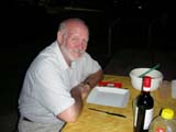
We know that some friends of ours, Dorothy and Jim Manzari,
are in Bundaberg with their yacht.
We have known Dorothy for a long time, we all used to work
at Prime Computers.
Actually Dorothy was a “witness” to
the beginning or our relationship back in 1993 …
Dorothy
and Jim have been touring the world for the last few years.
We saw Dorothy the last time some 4 years
ago.
We head down to the Port in Burnett
Heads only to be told that Dorothy and Jim are anchored in
the Midtown Marina.
Well, we did not know that there was a marina in the
middle of Bundaberg.
We find the yacht and Dorothy is
very surprised to see us as she had not seen our mail announcing
our visit.
We head
to the local RSL club for a cold bear and have lots to talk
about.
They have had some problems that are hard to understand …
They came into Australia waters coming from Numea.
In Numea
they had gone to the Australian Consulate and picked up the
details on customs and quarantine (over 30 pages …).
When reaching Bundaberg they were told by customs that the
booklet they had received was outdated and even though they
had a legal visa they had committed a criminal offence.
Besides being stamped as criminals they were fined with
4'000 AUD by the Australian Customs Service.
They had immigrated into Australia as told by
Australian Consulate in Numea and they didn't want to be
placed on the terrorist watch list as this could cause problems
with further immigrations.
So they decided to fight
against this injustice.
Well,
7 months and 50 000 AUD down the road they are still fighting
for their rights.
It is hard to understand how something
like this is possible in this great and friendly country.
For further details on this story please go to the links below.
http://www.news-mail.com.au/story/2006/12/15/apn-sailor-in-boat-arrest/
http://www.news-mail.com.au/story/2007/02/01/apn-sailor-battles-to-avoid-watch/
http://www.news-mail.com.au/story/2007/02/02/apn-couples-dream-is-sunk-in-legal/
http://www.thecoastalpassage.com/manzaris.html

We have a nice evening with some Swiss-style Leberkase and
Knackwurst (Fleischkaese and Cervelats as we know them
in Switzerland) we had brought form the Gold Coast and a
bottle of Penfolds Shiraz Cabernet.
Dear Dorothy and Jim, we wish you lots of luck with your
appeal.
May your name be cleared again.
On Saturday morning we wake up to a sunny but muggy day.
We have 1´000 km to Longreach ahead of us so we hit
the road as soon as we can.
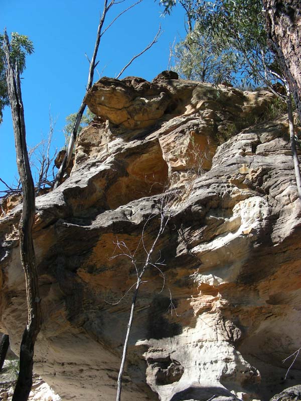
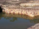
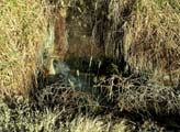
In South Kolan we stop at the Mystery
Craters, 35 craters formed
in a massive slab of sandstone, silt and red ochre. Parts
of this formation are believed to be over 25 million years
old.
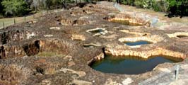

The interesting feature is that the red ochre is distributed
through the coloured sandstone.
Red ochre is soluble with
water … why is it distributed like this in the sandstone?
Sandstone normally is created by sedimentation. There
are no layers visible in this sandstone …
Also some of the craters hold water, some don't. In
the ones holding water the levels and quality of the water
are different.

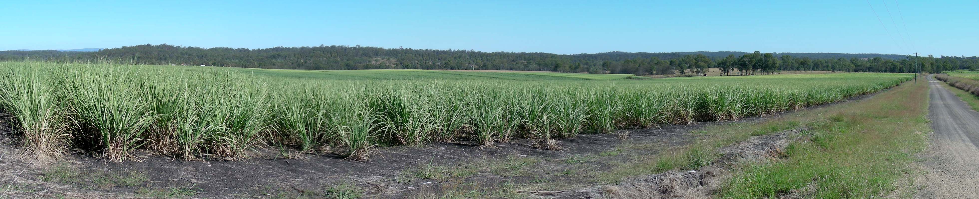
We continue travelling through sugar
cane fields to Gin Gin. Because of the humidity
the 30°C feel much warmer.
The area around Bundaberg is known for its sugar.
Also the
Bundaberg Rum is quite famous.

The water for the sugar cane fields is distributed by a channel
system.
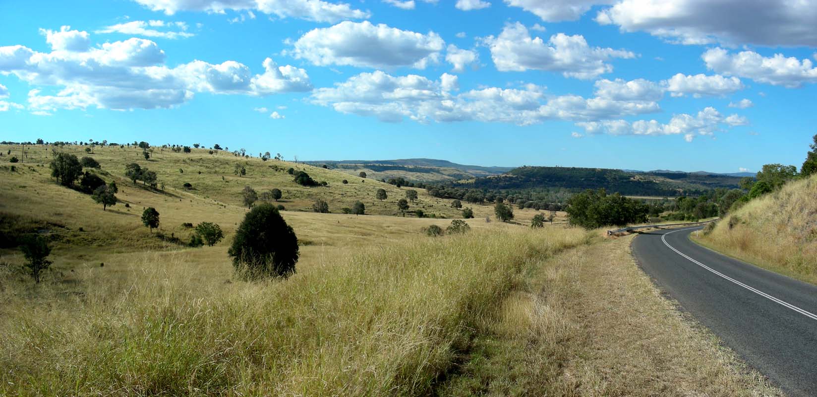
We turn off towards Monto.
The
country gets hilly. We seem to be in cattle country
again.
Around Boolboona
/ Wonbah vineyards can also be
found.
The dams are empty and the grass is not very high and all
yellow.
Queensland missed out on its rainy season this
year.
It gets dryer and dryer, the first cacti appear.
At Mt. Perry we have already climbed 360 m. The humidity
is much lower than on the coast and the 28°C feel just
right.
We cross the Possum Range and later on join the Burnett
Highway heading north on it.
Most of the forest in this area
has been cleared to make space for farms.
Here again there
is not much water in the dams but there seems to be enough
water around as irrigation systems are on.


After Monto the first Boab trees appear. We are a bit surprised
because we thought that they only exist in the Kimberley's.
We cross the Burnett
Ranges (highest point of the road 500 m) and enjoy the
beautiful views over the mountain ridges.
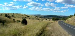
The drive down from the Auburn
Range to Thangool is just stunning.
We continue towards Biloela.
The temperature has risen
to 33°C and the ice cream at the service station is just
the right thing to have.
We change over to the Dawson Highway and
head into the Banana
Ranges.
We wonder where that name comes from as there
is not a single Banana tree to be seen …
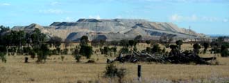

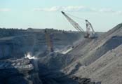
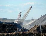

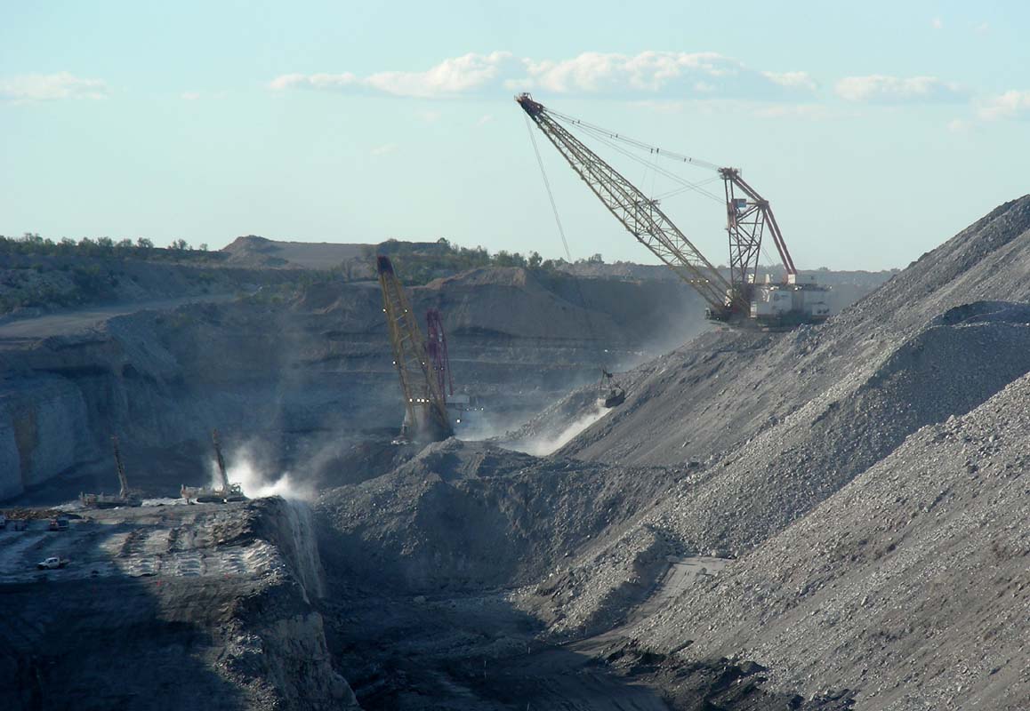
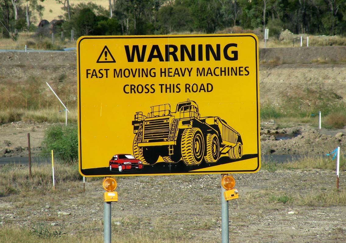
In Moura we have a look at the coal mines.
It is a shame
that there is no viewing platform like in Kalgoorlie.
We are surprised that the section where the really large
trucks cross the road is not even fenced off, just a large
warning
sign sits at the side of the road ....
There are no trucks coming past. Either it is because it
is Saturday or because it already rather late in the afternoon.
Next time we come past we will park where that sign is and
wait until one of those trucks comes past.
Moura also has a cotton industry.
Cotton buds and plants
can be seen along the road.
We stop for the night in a state forest outside of Moura
and enjoy a refreshing shower.
The night is warm, just right
for a light blanket and we sleep like babies.
We are back
in the climate we like so much.
On Sunday we wake up to another sunny
day. The temperature soon is at 28 °C; humidity
is at 75% but drops fast.

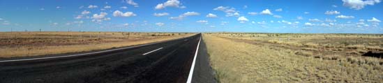
We continue our way west on the Dawson Highway, a 2-lane
bitumen road. 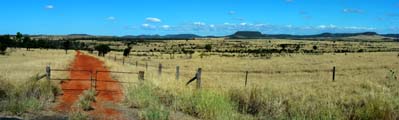

On the map we see names like Bauhinia Downs,
Stockyard Creek, Woolshed Gully, Cattle Creek, Sheep Station
Creek … there are no houses to be seen, just farmland,
cattle, every so often a landing strip … it is a wide
and open country some small hills on the horizon .. it is
so peaceful


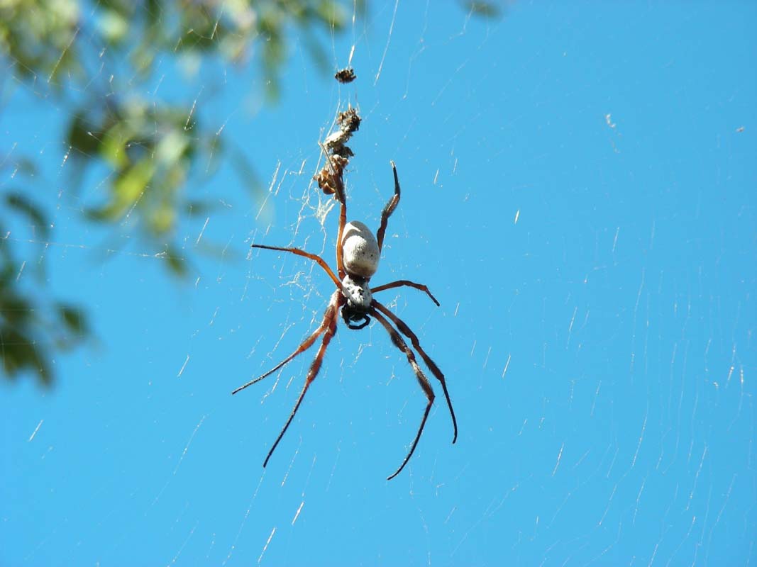
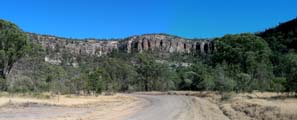
After Rollestone we head into the Staircase Range.
Palm trees appear ... and large spiders too ...
In Springsure we turn into the Dawson
Developmental Road in direction
of Tambo.
We sight the first Wedge Tail Eagle.
Even though there
is a lot of road kill on the sides of the road so far
we had
not seen any birds of pray.


The area around the Nandowrie
Needle is very beautiful
with its yellow grass and the mountain range.
Here
the bitumen
ends and Ruedi lowers the tyre pressure accordingly
to avoid the tyres being damaged by rocks.

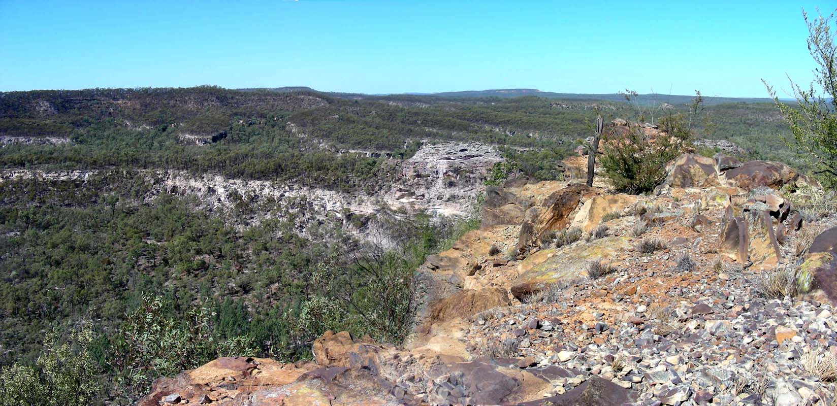
The views of the Great Dividing Range in the afternoon
sunlight are stunning.


When we stop for the night we realise that the OKA stinks.
No wonder!
The outside is covered in cattle dung from the “left-overs” on
the road.
As it concerns the outside of the OKA this "bull
shit"
job belongs to Ruedi.


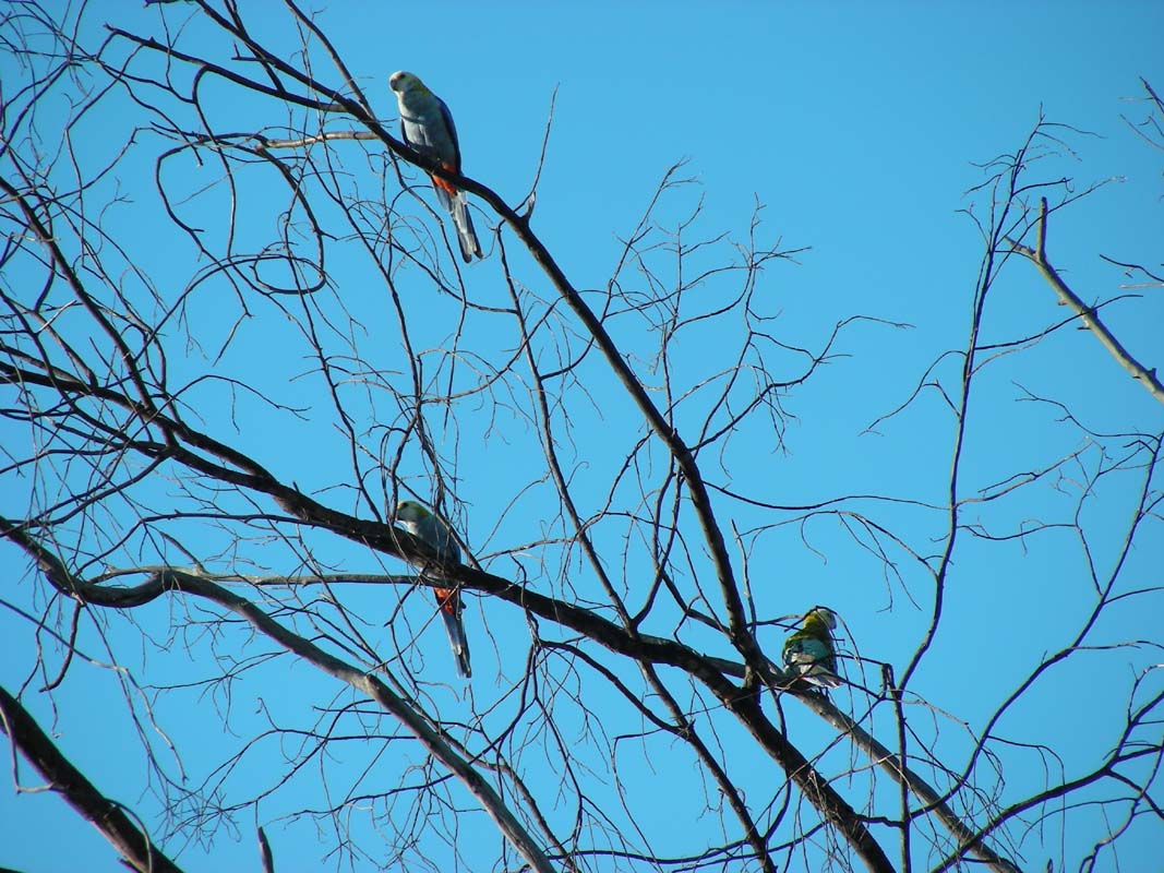
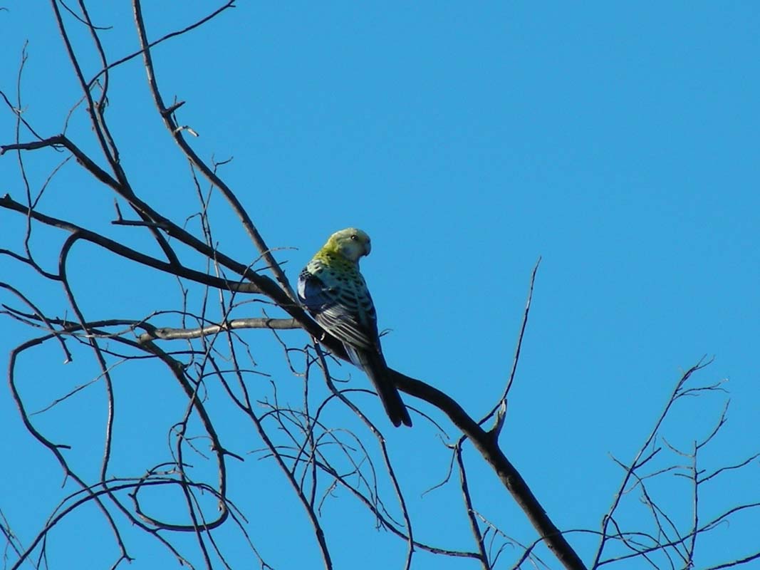
We are visited by a flock of Blue-Cheecked Rosellas (Platycercus
elegans).
The night is surprisingly cool with only 14°C.
But
the morning sun takes care of that and soon the
temperature is in the
high twenties.
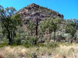
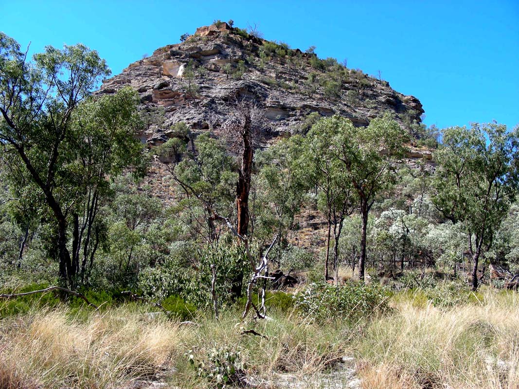
On Monday morning we continue along the Great Dividing
Range and find a small mountain called Sugar Loaf.
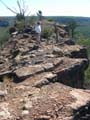

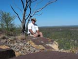
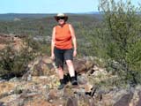
Of course we have to
climb it.


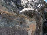
The rock is quite interesting, has many different colours
and structures.
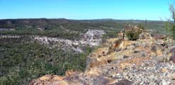

The views are impressive.
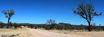
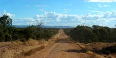
At Killarney Park we turn left towards Tambo.
In Tambo we turn into the Landsborough
Highway, also known
as “Matilda” Highway.
It is a rather boring stretch
of road, more or less flat, so we leave it again in Blackall turning west towards Isisford.
It feels strange to drive through all the floodways and see
the depth indicators and all there is to be seen is a yellow,
dry and sunburned country …
Cam
and Sharon Tindall, friends of
Lyn
and Ron Quigley of Yatte Yattah
,
are expecting us today and we still
have 300
km ahead of us.
Thanks to the Sat-Phone we are able to let
them know where we are and get directions on how to
reach Darr River Downs Station 67 km north
of Longreach.
We reach
Longreach at sunset.
The first thing that springs to our
attention
is the Qantas-Jumbo jet at the entry
of the
town.
Qantas stands for Queensland And Northern Territory
Air Service. They had their
first office in Longreach.
We will have to have a look at the Qantas-Museum and
also the Stockman's Hall of Fame another time.
We
are in a rush now as we don't like driving
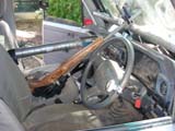
at night.
The lights of the OKA are not adjusted
well.
The high-beam light is positioned
to close, there we the normal light
should
point to.
As we never drive at night we had not realised
how bad it is.
Something else to be placed on the to-do-list …
Luckily there is still a bit of light
left almost to Morella but driving
under these conditions is not very
nice.
We leave
the Matilda Hwy and drive the track to Darr River Downs Station
.
We can't
see much and Ruedi hates it.
Then he hits the breaks just
being able to avoid a collision with some brown cattle standing
in the middle of the track.
Finally we make it to the house
and are greeted by Cam, Sharon and Ross, their eldest son.
With a cuppa tea in the hand the world looks much better
and we enjoy a nice evening.
On Tuesday morning Cam and Sharon
leave for Longreach.
Sharon is planning some gardening in their Longreach house, Cam will come back
with a professional Jockey.
So we have time
to explore the grounds.

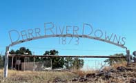

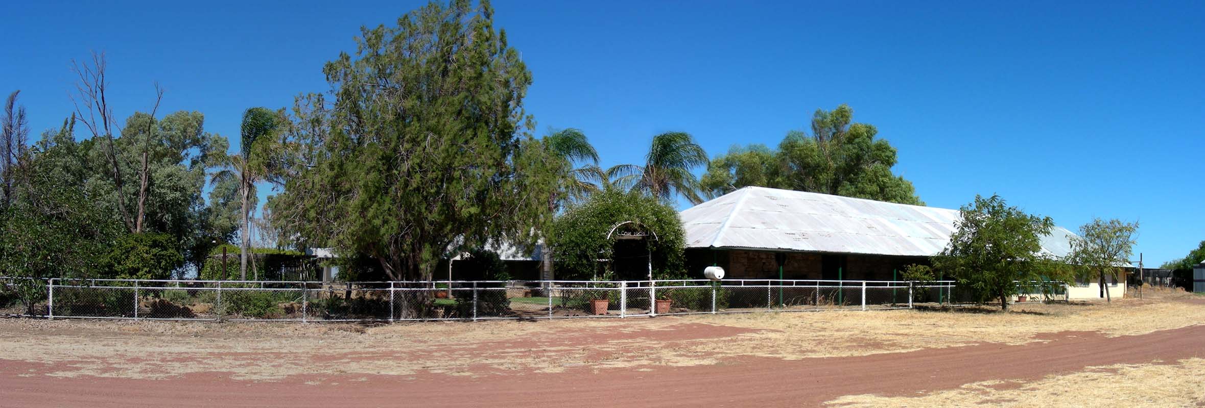
Darr River Downs Station was established
in 1873 but was only bought by Cam's
family in the fifties.
All the
original houses are still there.
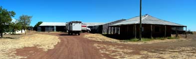
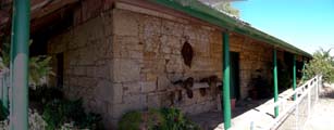
The house on the right-hand side
is the first house built on the station.
It
was
already built from the local sandstone.

Then another stone house was built.


The currently used main hose is also built from stone and has a
huge veranda all around.
There is Internet available via Satellite,
telephone by directional antenna ...
nothing is missing.
Cam and the jockey
Terry arrive.
Also the neighbour Stan
and his wife arrive.
The
coming weekend there will be an
amateur picnic race some 250 km up
north.
Cam will
race his horses.
Cam says it's just for fun … and
of course to beat the neighbours, he
adds with a wide grin.
The horses at the races all are ex-racehorses. They are on an
"old age pension" on the stations.
Race horses
usually are fed with grain. At
the picnic races only horses that
are fed with hay and grass are allowed
to start.
It takes approx.
2 years until the horse's stomaches
have adjusted to the new feed and the horses
are fit enough to race again.
The distances raced are also adjusted to the different feed and
are only between 800 and 1 600 m.


We all go to the paddock.
Ross gets the horses
ready, Stan cleans their tails.
Terry
gallops each of the 6 race horses to free their lungs so
they can breathe better during the races.


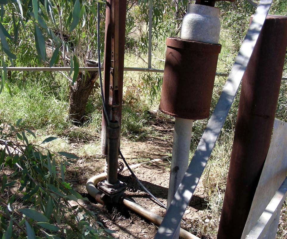
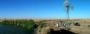
We inspect the Darr River dam nearby.
The water
is pumped to the house by a windmill.
On days where there is no wind
a petrol-driven pump is ready to be used.
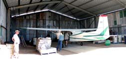
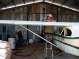


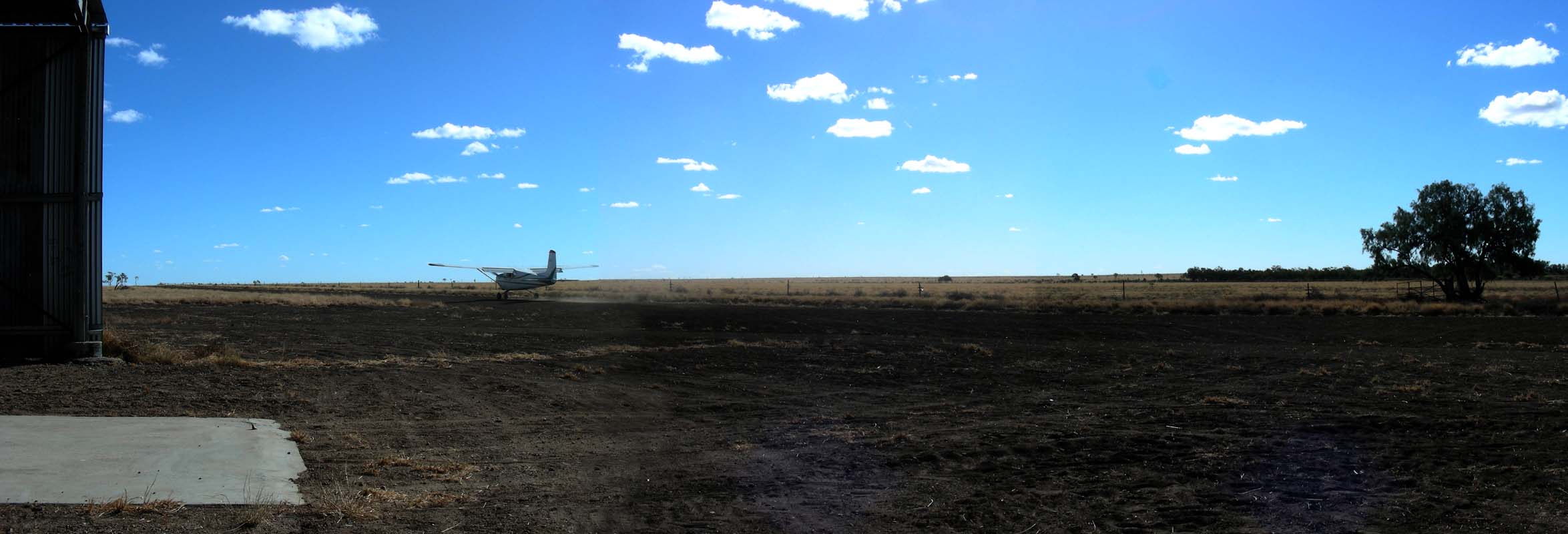
Cam and a friend get ready to fly
to another farm closer to the coast.
Cam's father bought a plane some 49 years ago; it is still flying well
but
is
a bit slow.

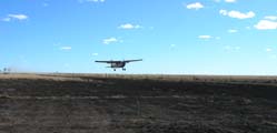
Like most of the larger stations Darr River Downs has its
own landing strip.
Later in the afternoon Paul, the
youngest son, arrives.
He is
a professional Roo-Shooter. He shoots
kangaroos and wild
pigs and sells them. The pig meat is exported to Europe;
the roo meat is used locally.
Paul had to study at the T.A.F.E.
Institute.
There are many rules and
laws he needs to comply to.
Also the
shut animals must have a minimum
size / weight ...
Paul
has contracts with some of the stations
nearby to control the roo population.
If one considers that ten roos eat
as much grass as one head of cattle
...
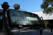


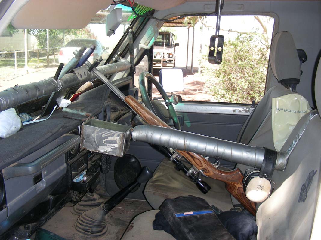
Paul's LandCruiser
has been specially equipped for his
job:
The windscreen can be lowered during
his hunting sessions enabeling direct
shooting from the driver's seat.
The gun is equipped with telescopic
sight so the animals
can get killed with the first shot.
The large searchlight on the roof
can be operate from the driver's seat.
The tray of the Cruiser is equipped
with steel-bars so the prey can be
hung
in rows.


Paul also manufactures his own ammunition.
He is very meticulous.
The weight of
the gun powder has to be precise as
otherwise the ballistics will be different
and the bullet might miss its prey.
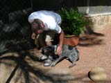
After dinner
Ross, Paul and Ruedi go roo-shooting.

Tomorrow
morning Ross will take us along to
check the watering system of the station.
On
Wednesday morning we start our journey
even before dawn. It is windy and the
18°C feel cool.
Paul and Ruedi drive in Paul's LandCruiser and
keep a watch for wild pigs.
Poor Ross has to put up with
Susi in the other LandCruiser and answer to all her questions …


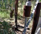
There is a network of dams and drinking
trough distributed over the station.
They have to be checked every few days
ensuring water flows into them.
Besides using rainwater dams to collect
water Darr River Downs Station also
has two
bores.
In both cases they had to drill
down deeper than 1 000 m to reach the
fresh
water as there is salt water layer
in between.
The water at both bores is rather hot.

At one bore the pressure from the water is so high that
it just flows out to the surface.

The other bore requires a windmill to suck the water up
to the surface.
The water gets pumped into a dam.
The sad story is that last year
Ross took the cattle dogs along on
the water check.
When the dogs saw the water they ran and jumped into it for a swim not realising
that is was over 80°C hot …
A friend jumped after the dogs, got them out and got badly burned on his legs.
But he was to slow; the dogs had to be put down.
The water gets distributed throughout the station in
poly-pipe by gravitation.
This system of pipes has been put in the last few years
since Cam took over from his father.


The windmill moves a piston
up and down to suck water and then
presses it into the poly-pipe.
To ensure an even flow a pressure
tank maintains the pressure in the
pipes during the time
when
the
pump
sucks water.


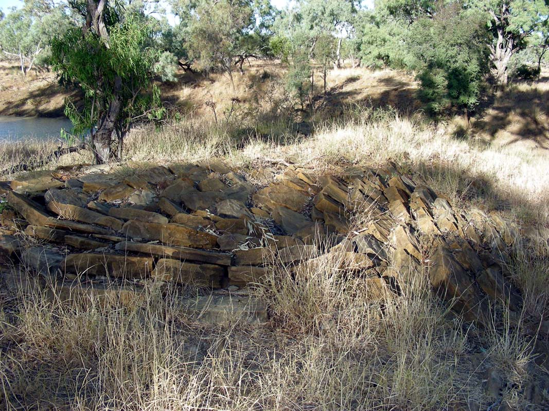
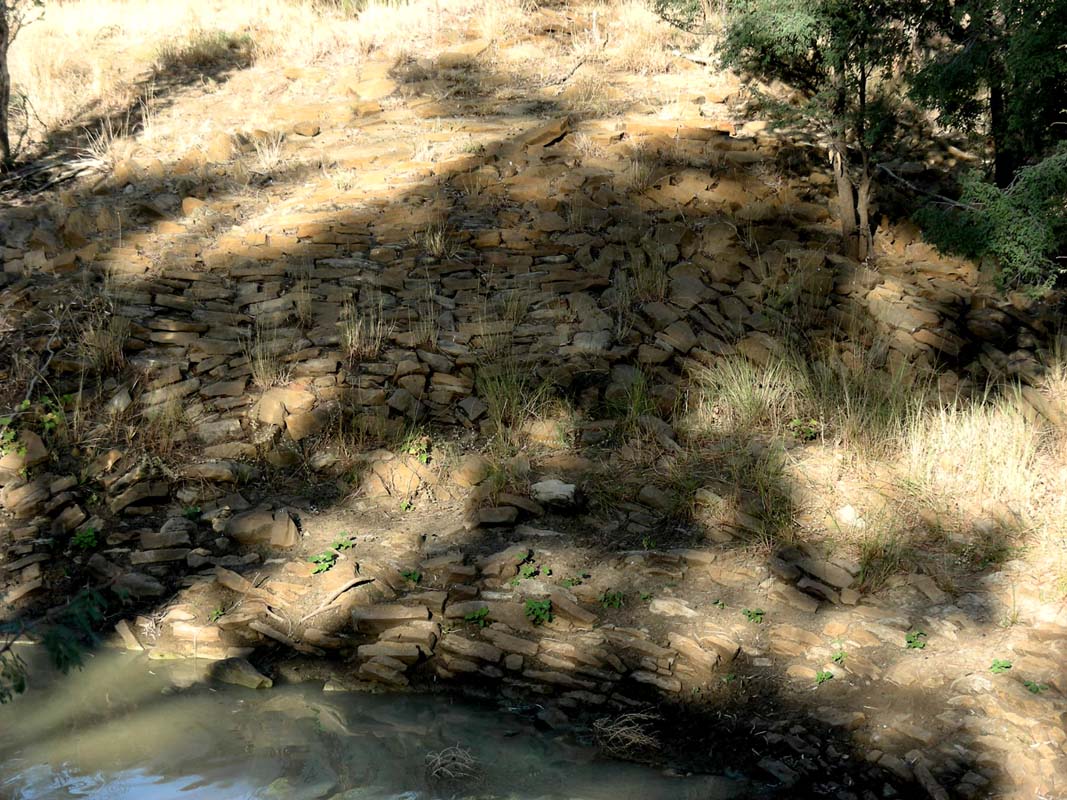
Ross takes us to a dam that has a
section built with rocks.
They are
very neatly
placed
in
one
direction so the dam cannot get damaged
should the water overflow.
The dam was built by
Chinese workers in the 1920.
They had
come into the country during the Gold
rush.
When the rush finished, they
were desperate for work, so the farmers
had them build dams.


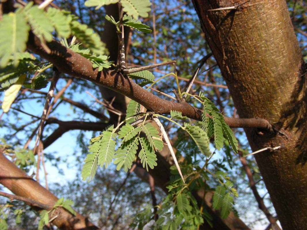
On the property the Prickly Acacia
can be found, a pest imported from
Africa.
It looks beautiful but the thorns are really long and will easily puncture
a tire, no worries ...
Camels and goats eat it. So they are brought into paddocks were the plant takes
over to eradicate it.

An Australian Bustard (Ardeotis australis)
crosses our way.
Ross learns something that morning ... he had always thought that the "Bustard" Street
in Longreach had been misspelled and had a quite rude name ....


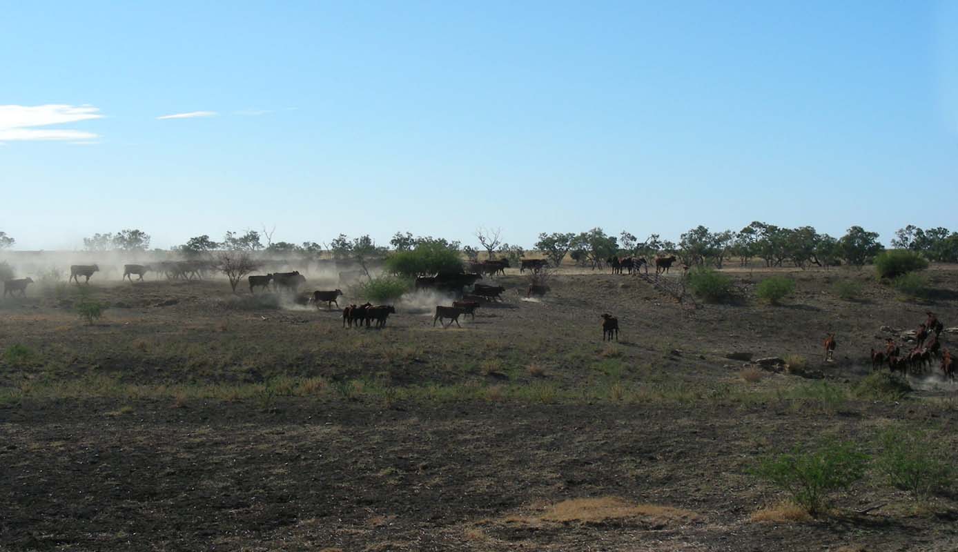
They have different kind of cattle
on Darr River Downs Station, Brahmans
and Short Horns.
The Brahmans are better resistant to
the heat, the Short Horns will fatten
faster

Later on we leave Darr River Downs
Station and return to Longreach to
stock up and have a look at the emails.
We camp just a bit outside Longreach
on the road to Muttabarra.
The soil
is so powdery that the shower water
generates “high
heals” underneath the thongs.
This fact worries Ruedi
a bit as they have announced rains for the night.
Being stuck
in such ground with rain would be bad news as the mud would
fill the tyres almost immediately and the OKA would be bogged.
But there the few clouds disperse so we decide to take the
risk and stay were we are. But the OKA is made ready for
a quick departure .... one never knows.


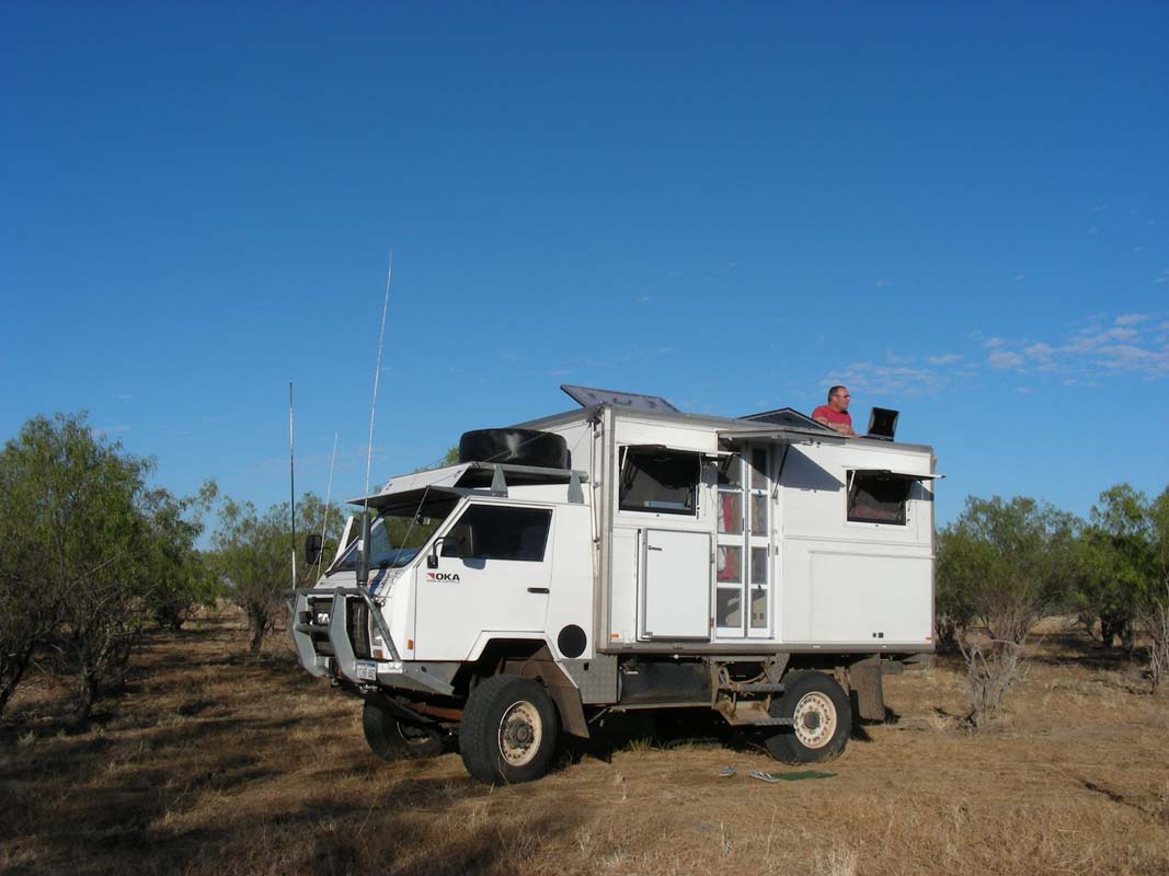
On Thursday morning Ruedi checks for
Internet reception.
There is none in the truck, but
when standing on the back bench in
the cabin and using
the roof
as table it works.
After
lunch we head off towards Muttabarra and Kooroorinya where the race will
be held.
We find out why this area of Australia is called "Channel
Country".
Driving on these back roads means .... over the grid ...
through the dry floodway ... over the next grid and
through the next dry floodway ... and so
on ....
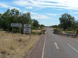
Sometime road signs
can make you going "Hmmmm?" .... or would you try to cross
another vehicle on a single-track bridge?
The country is really flat. Every
so often small hills can be spotted
(Fort
Hill, Tower Hill …) otherwise
nothing ... just dry yellow grass and
some cattle
and sheep grassing.
Well, let's hope
for the rains that have been announced for the weekend …

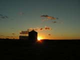
We reach the Kooroorinya race course
later in the afternoon.
|