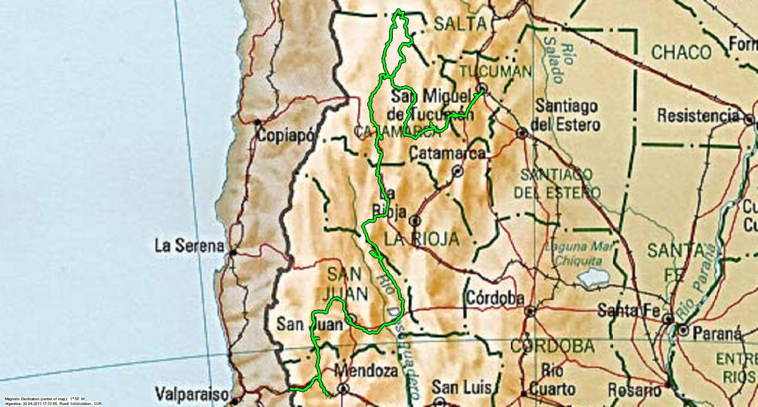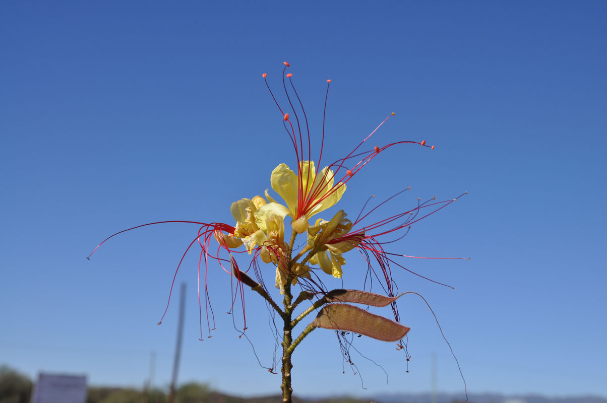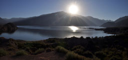
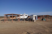
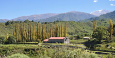
On Monday, March 11, 2013, the sun wakes us up at the pretty Embalse Potrerillos.
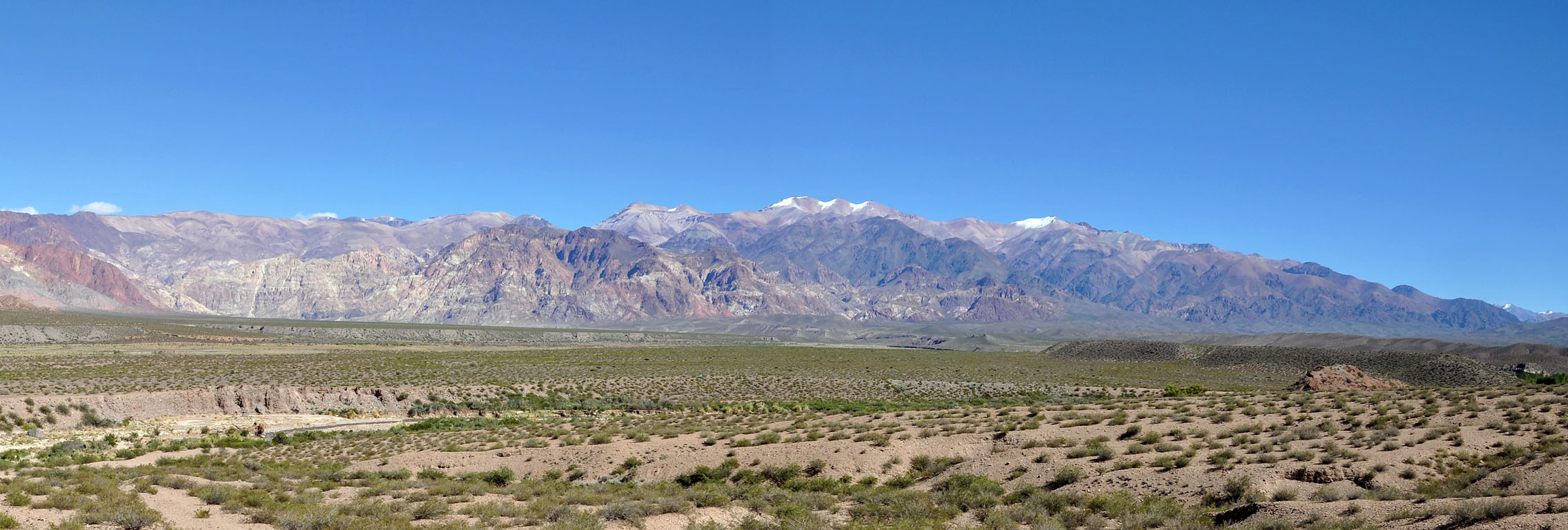
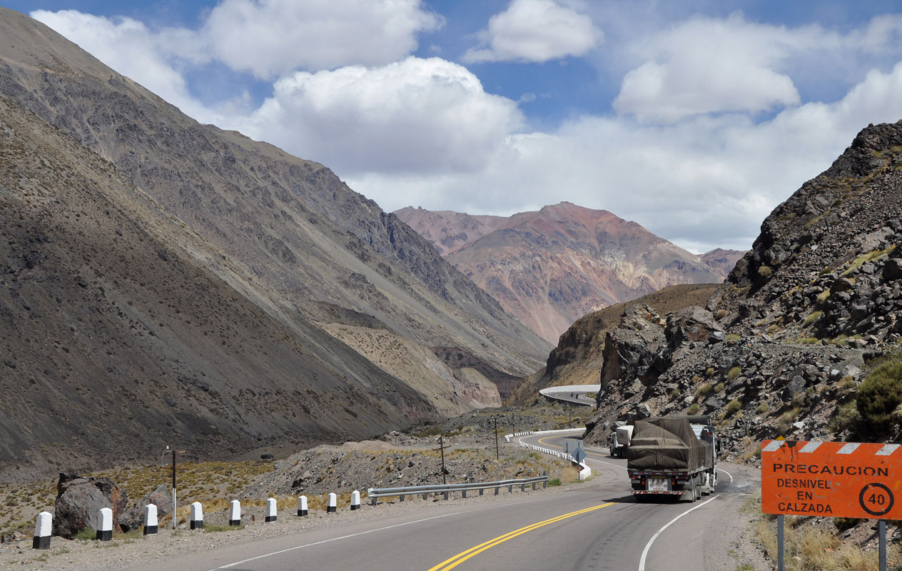
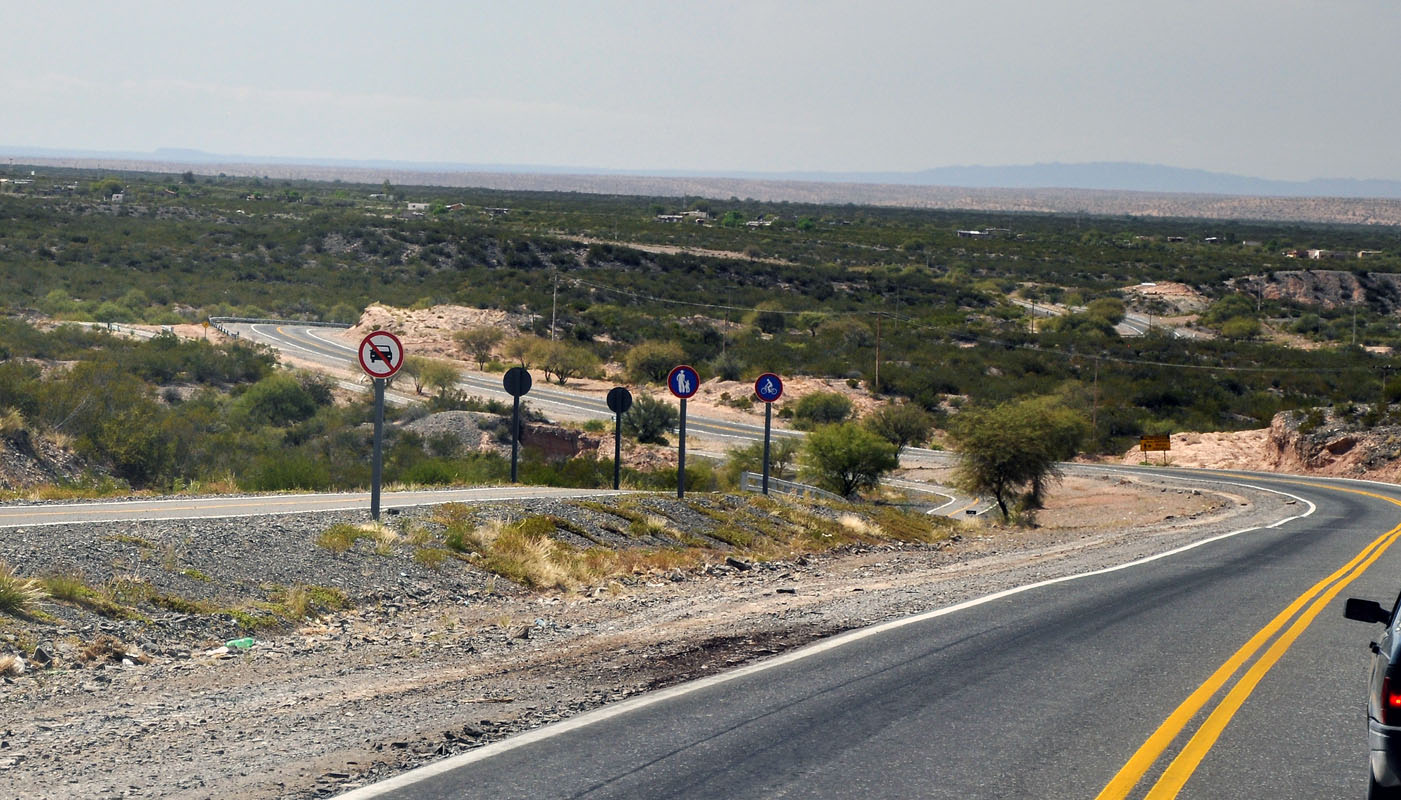
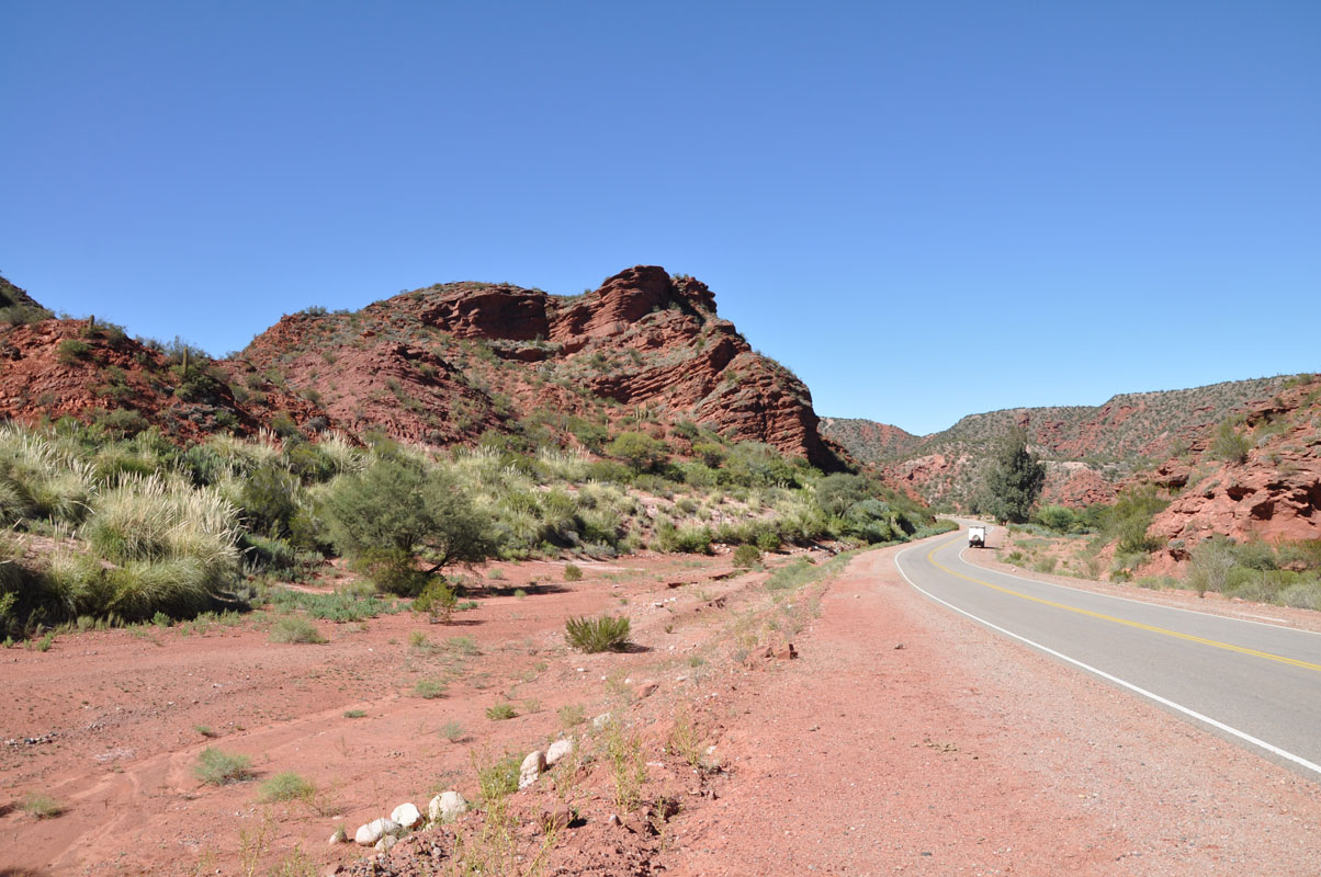
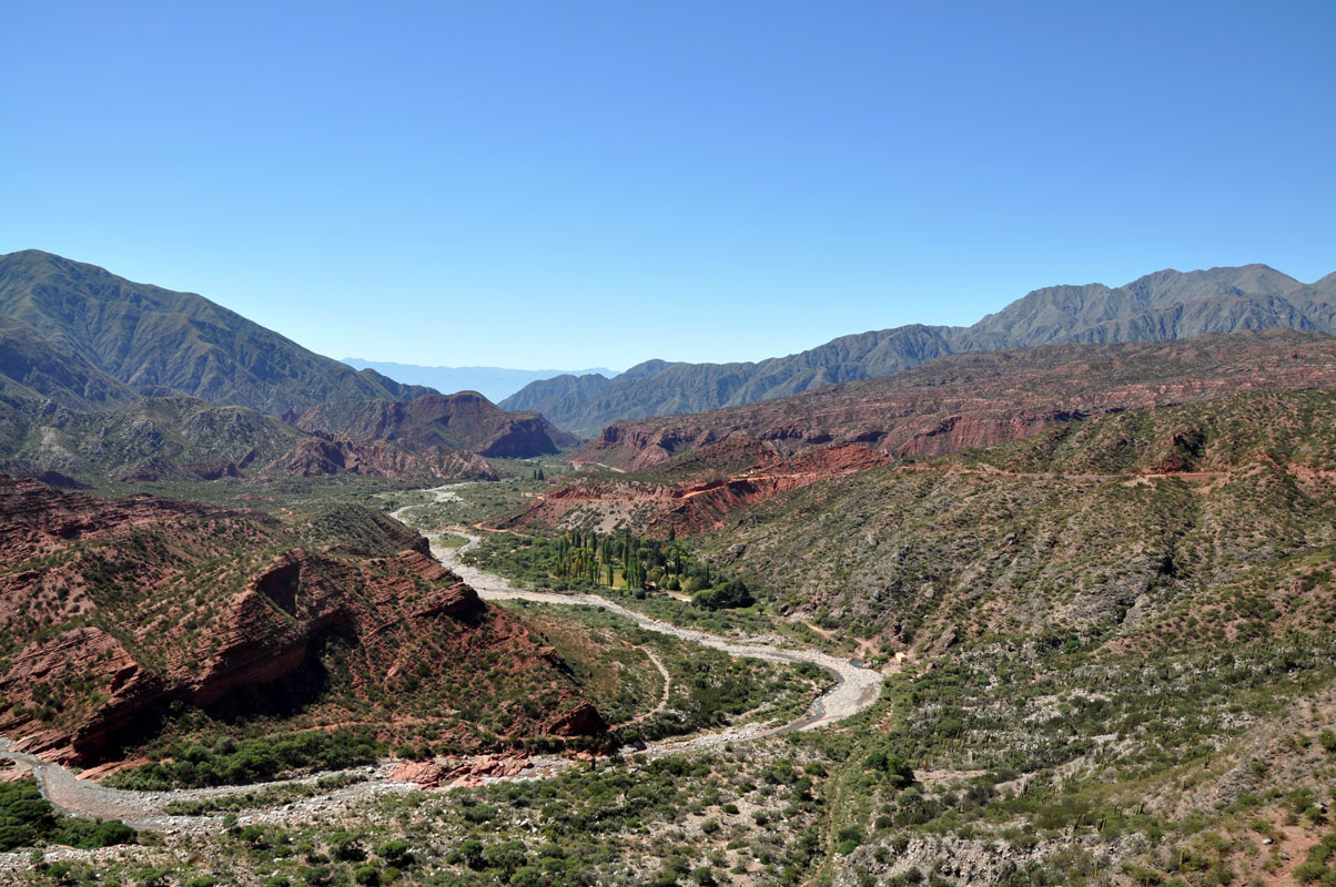
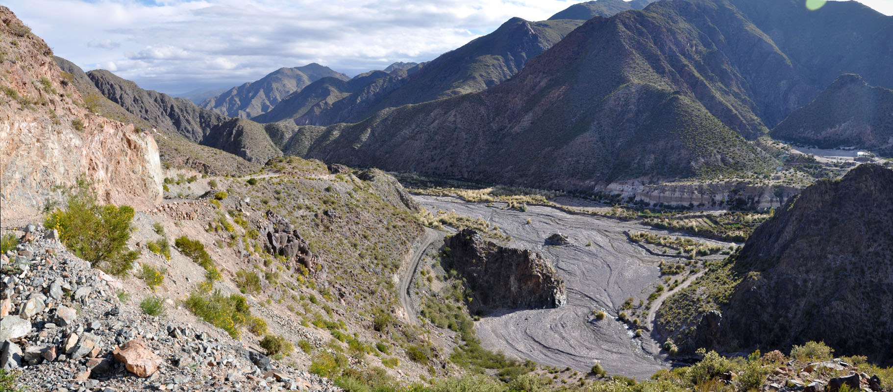
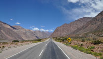
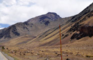
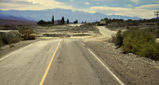
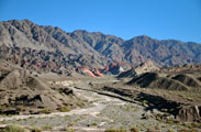
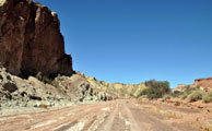
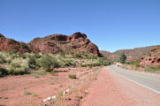
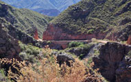
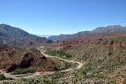
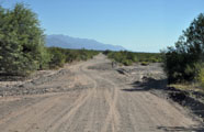
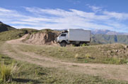
We take the Ruta Nacional 7 in direction of Uspallata.
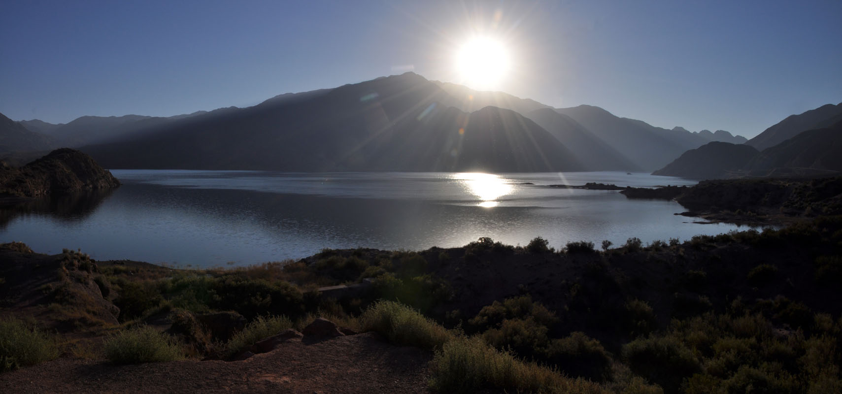
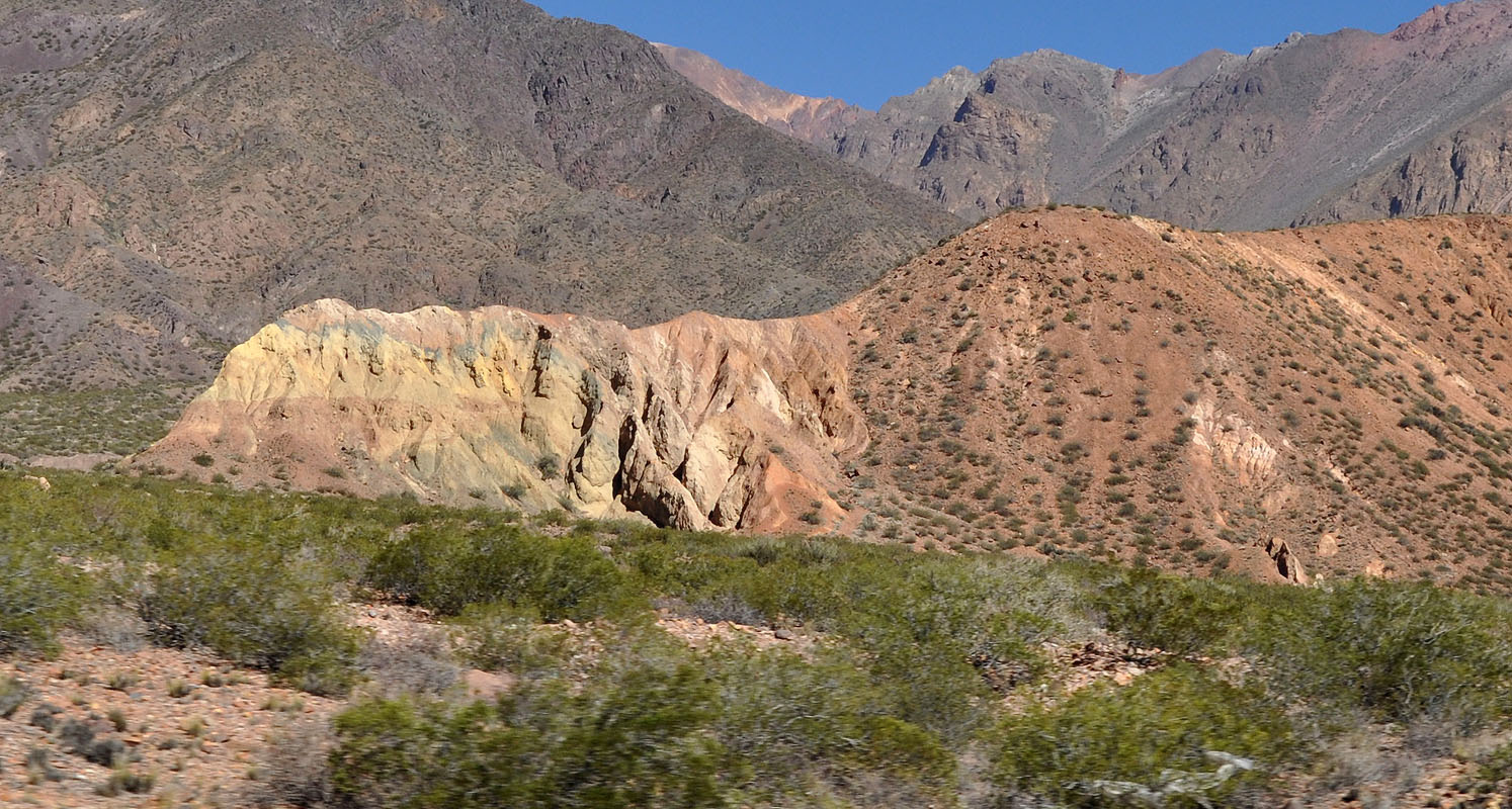
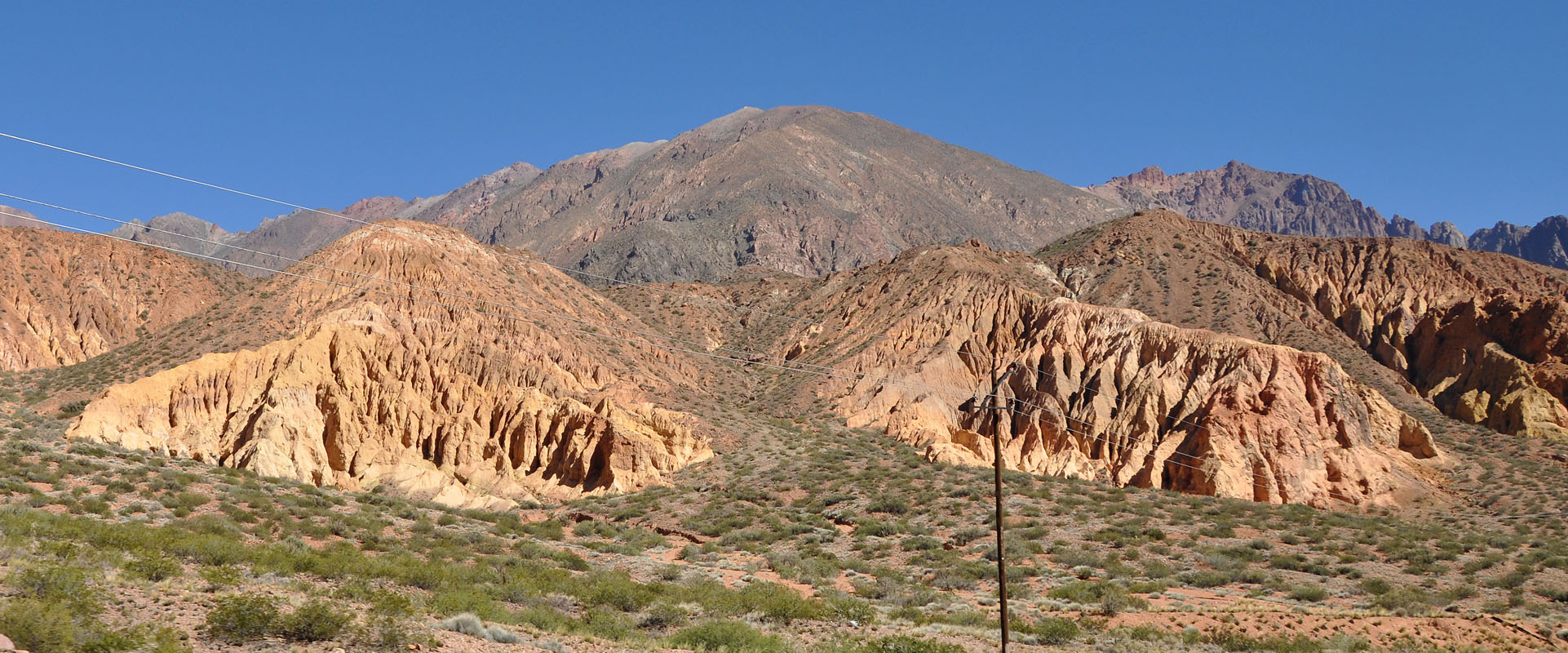
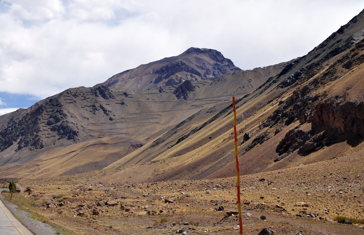
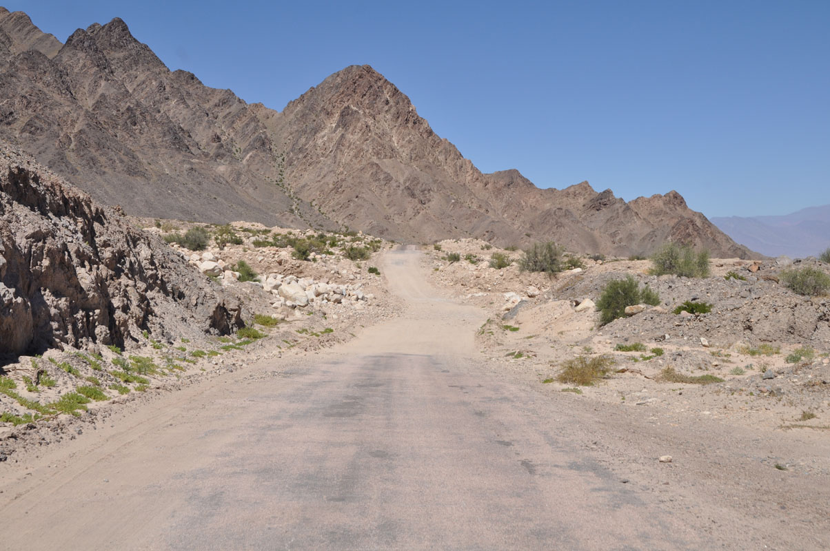
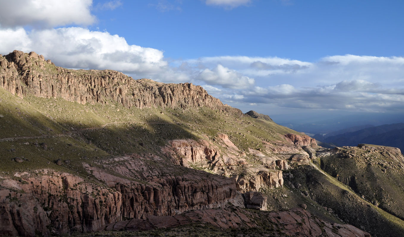
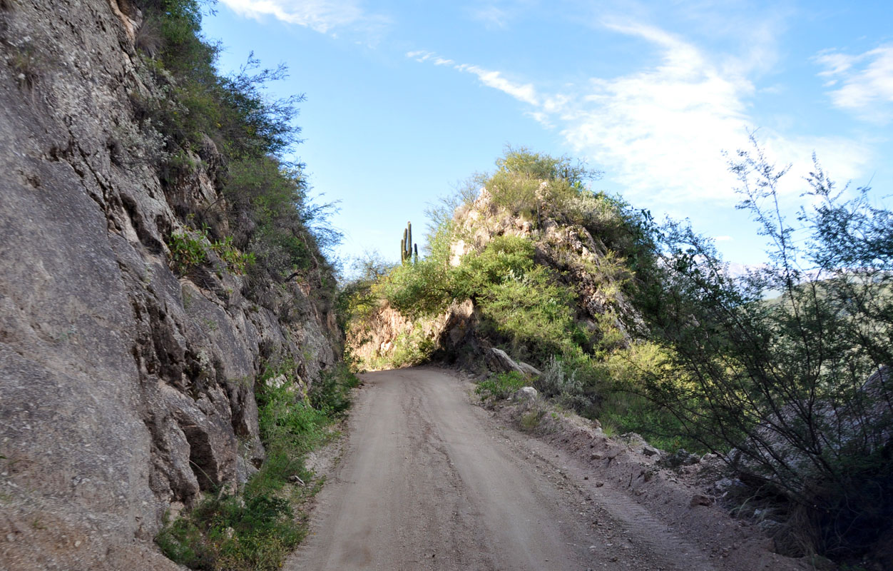
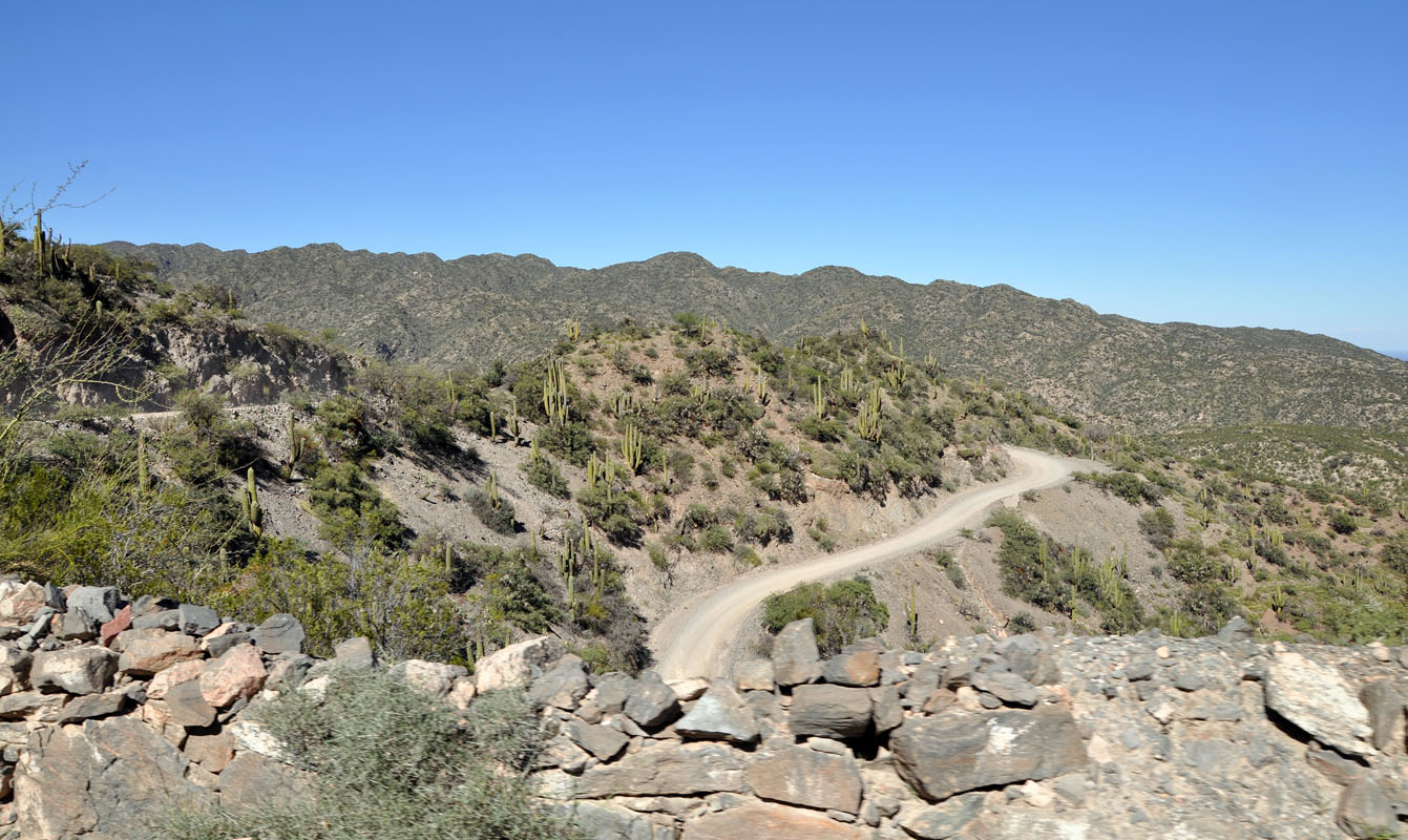
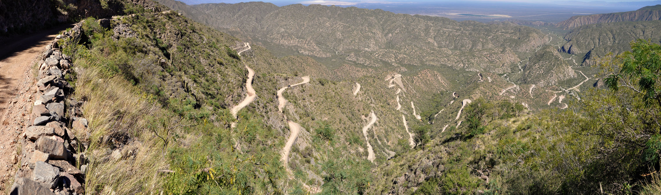
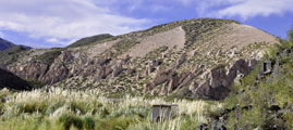
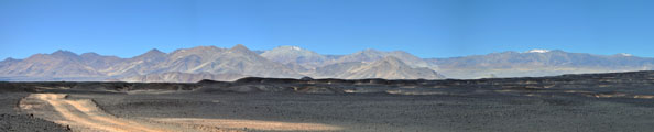
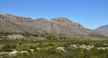
The road climbs rapidly.
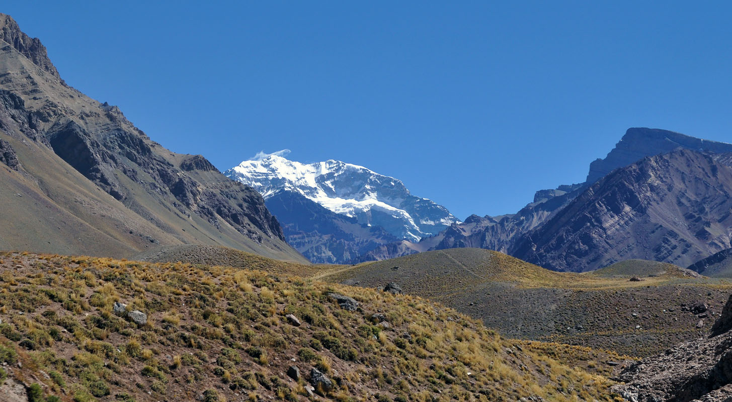
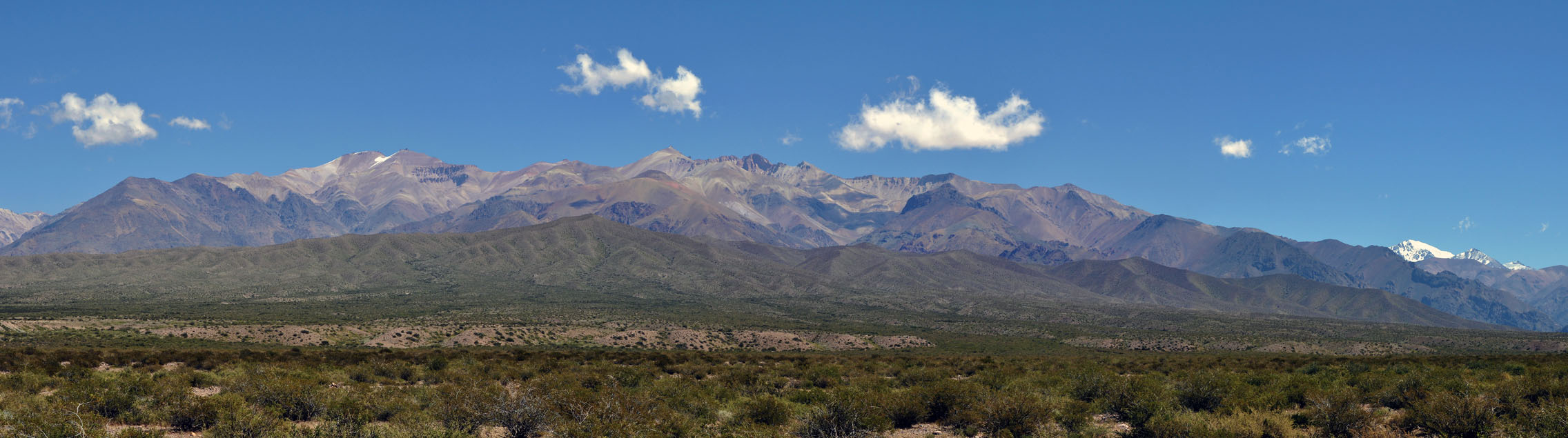
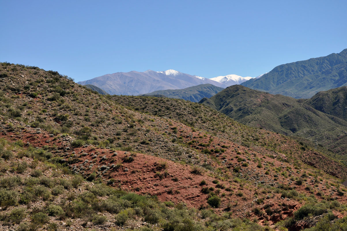
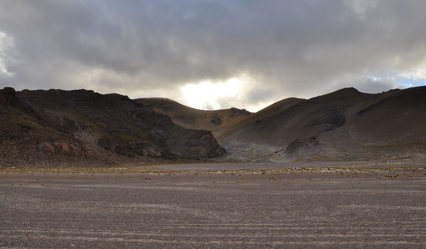
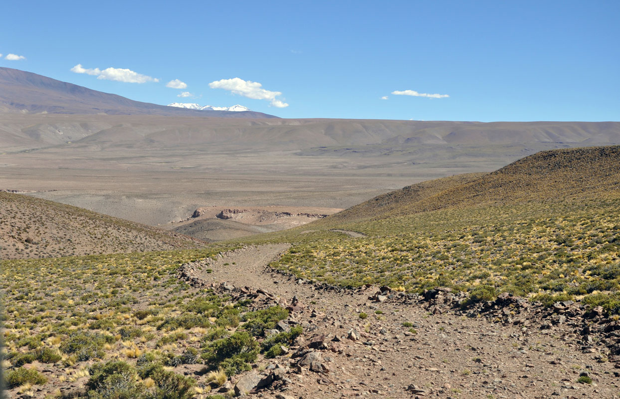
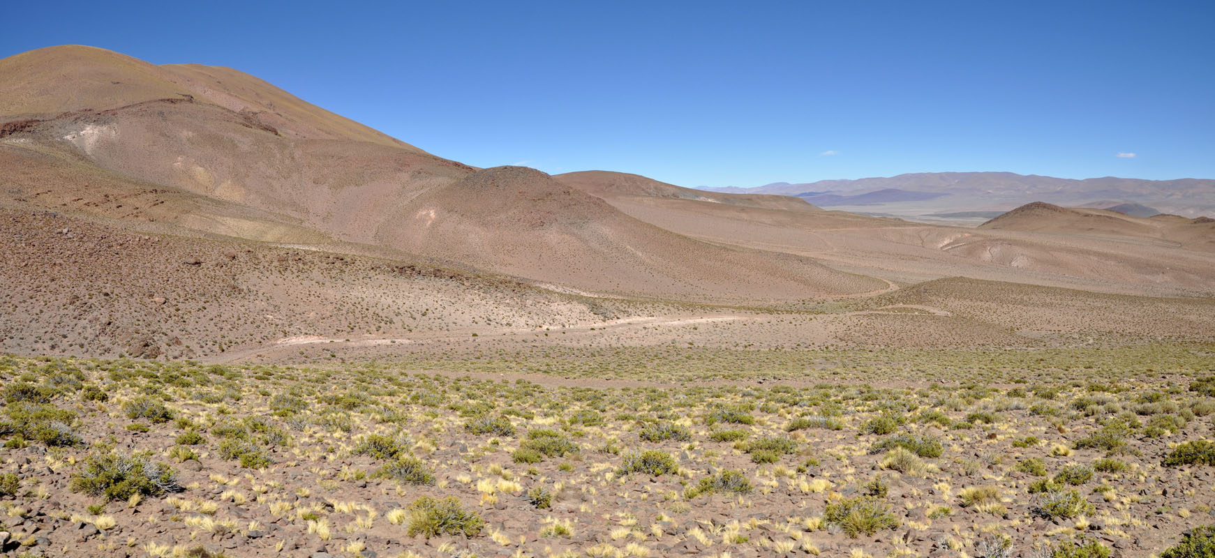
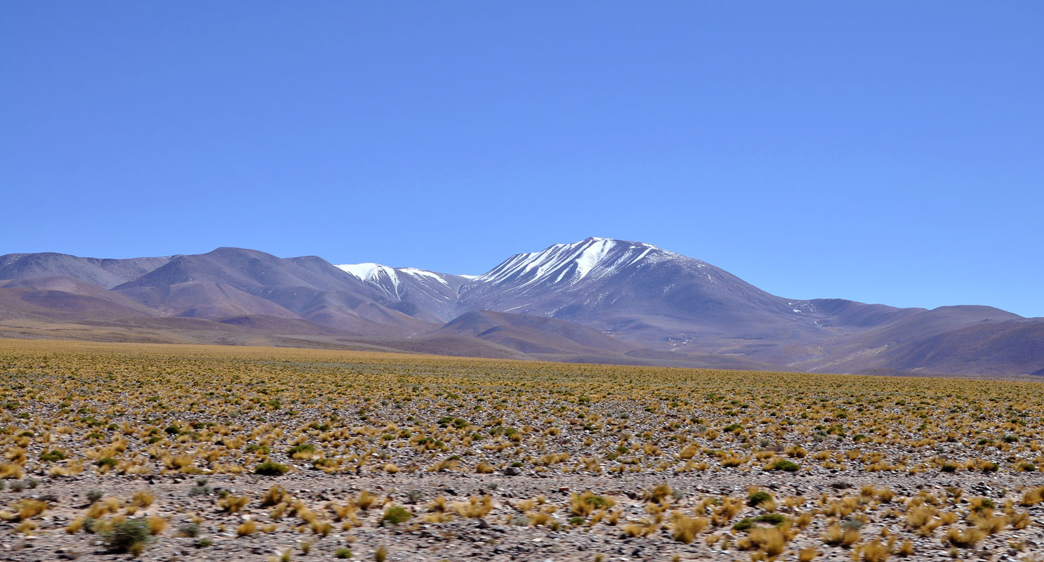
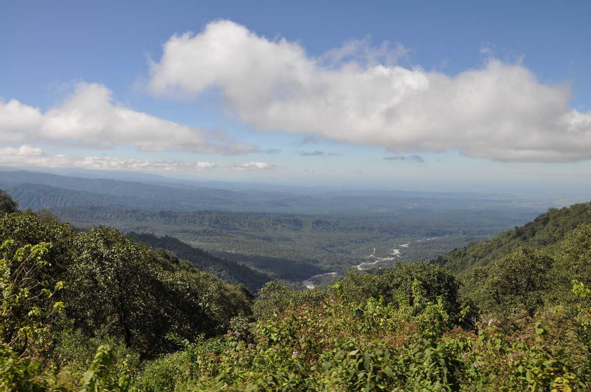
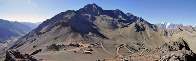
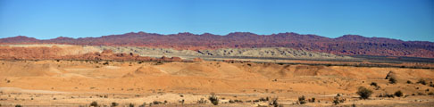
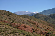
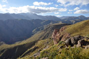
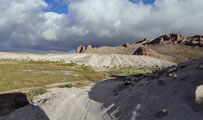
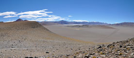
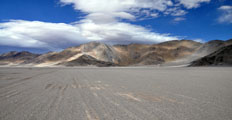
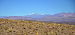
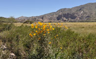
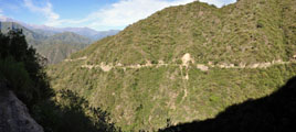
It is a very scenic route passing all the mountains .... every so often we can even see white snow-caps ....
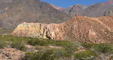
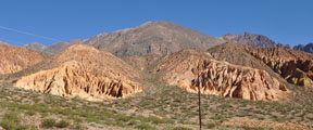
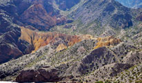
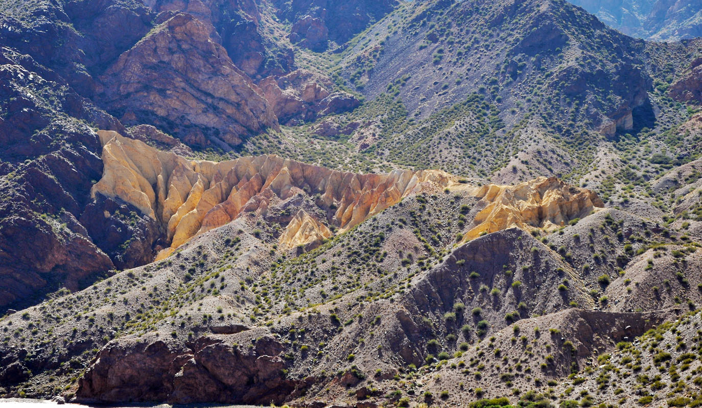
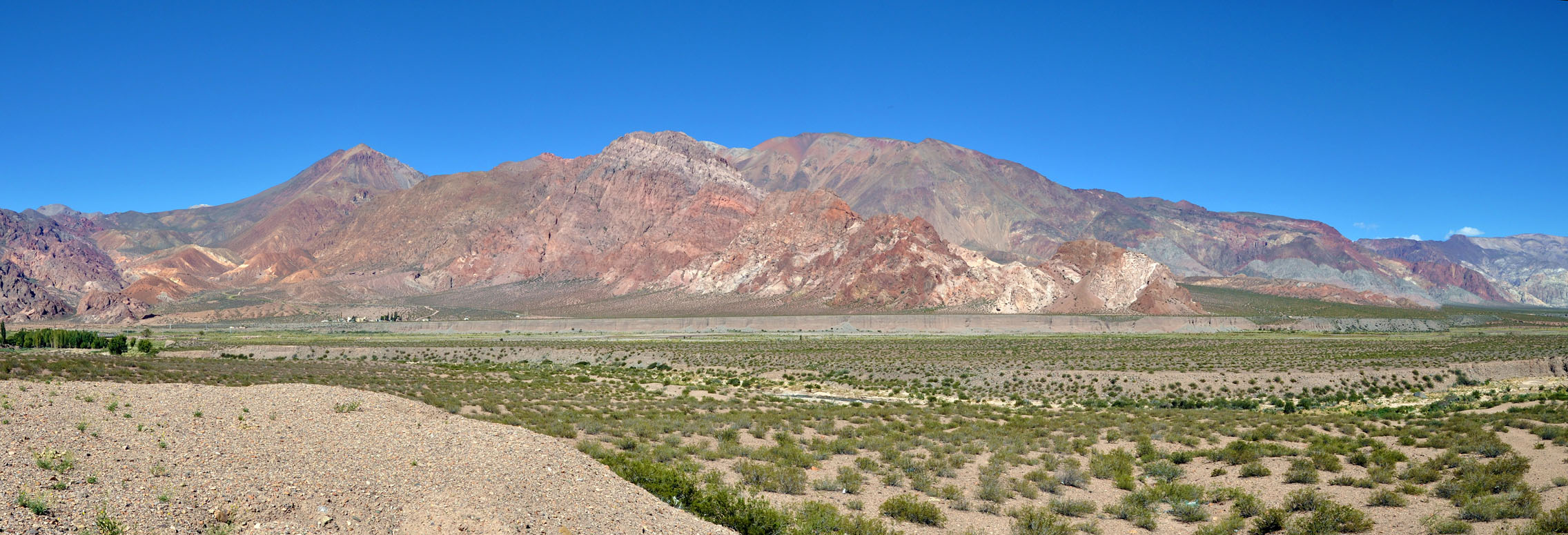
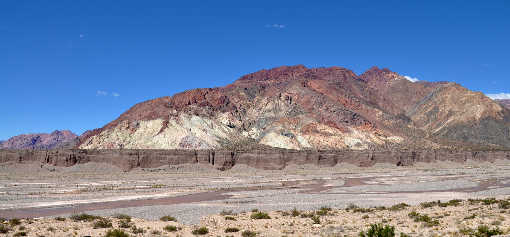
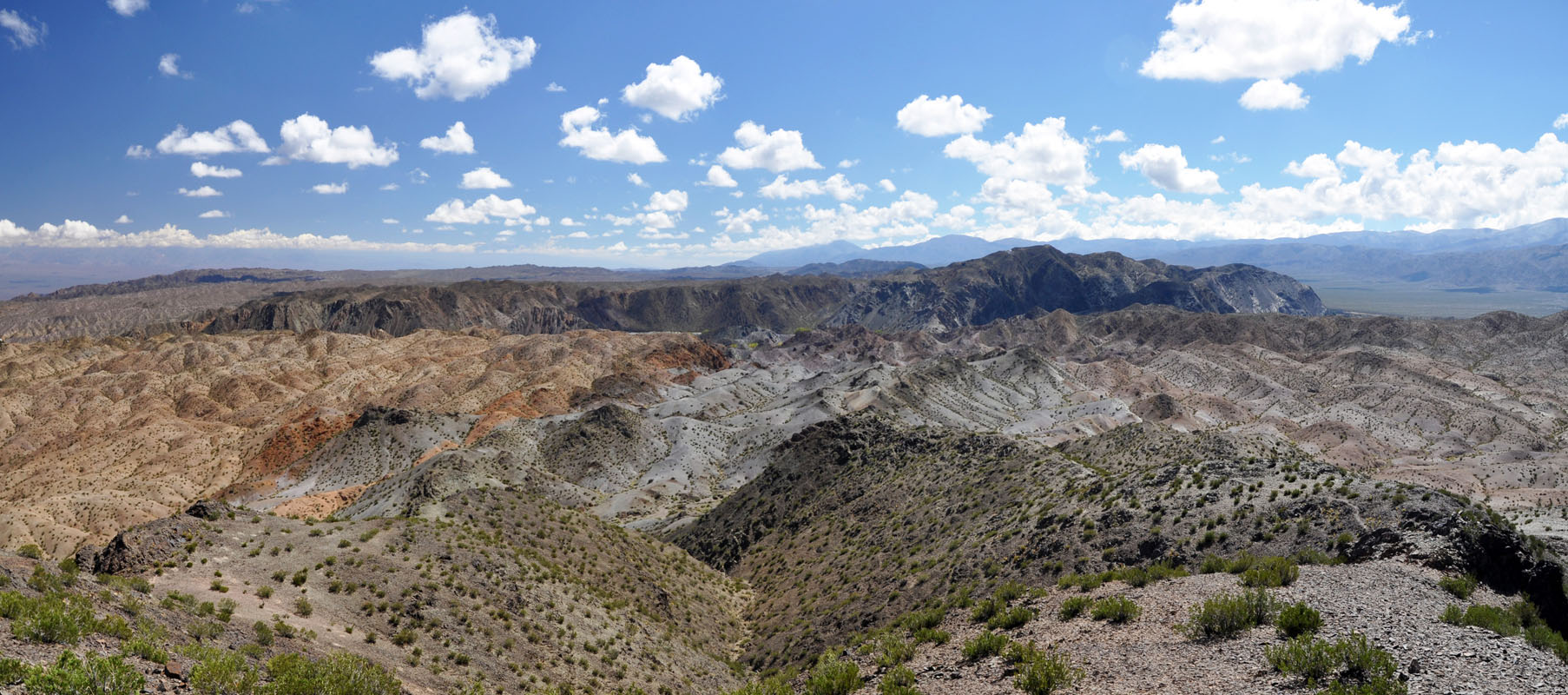
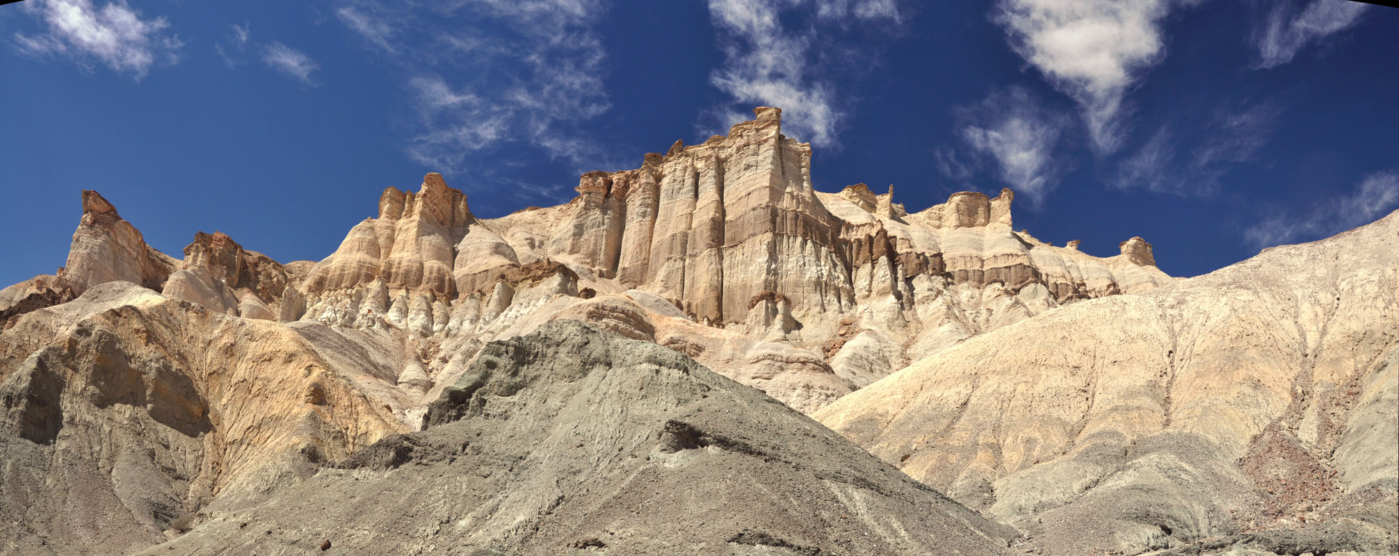
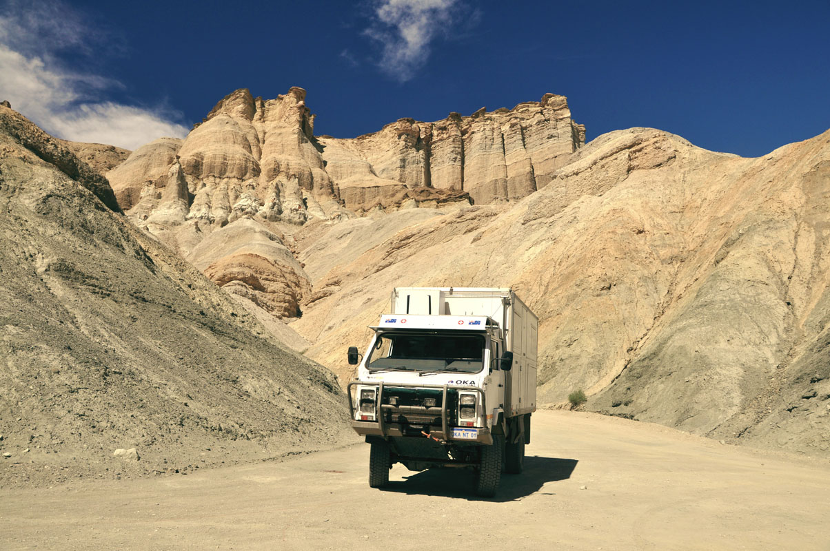
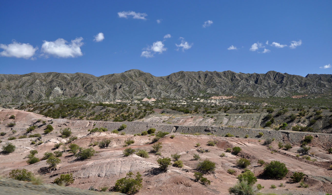
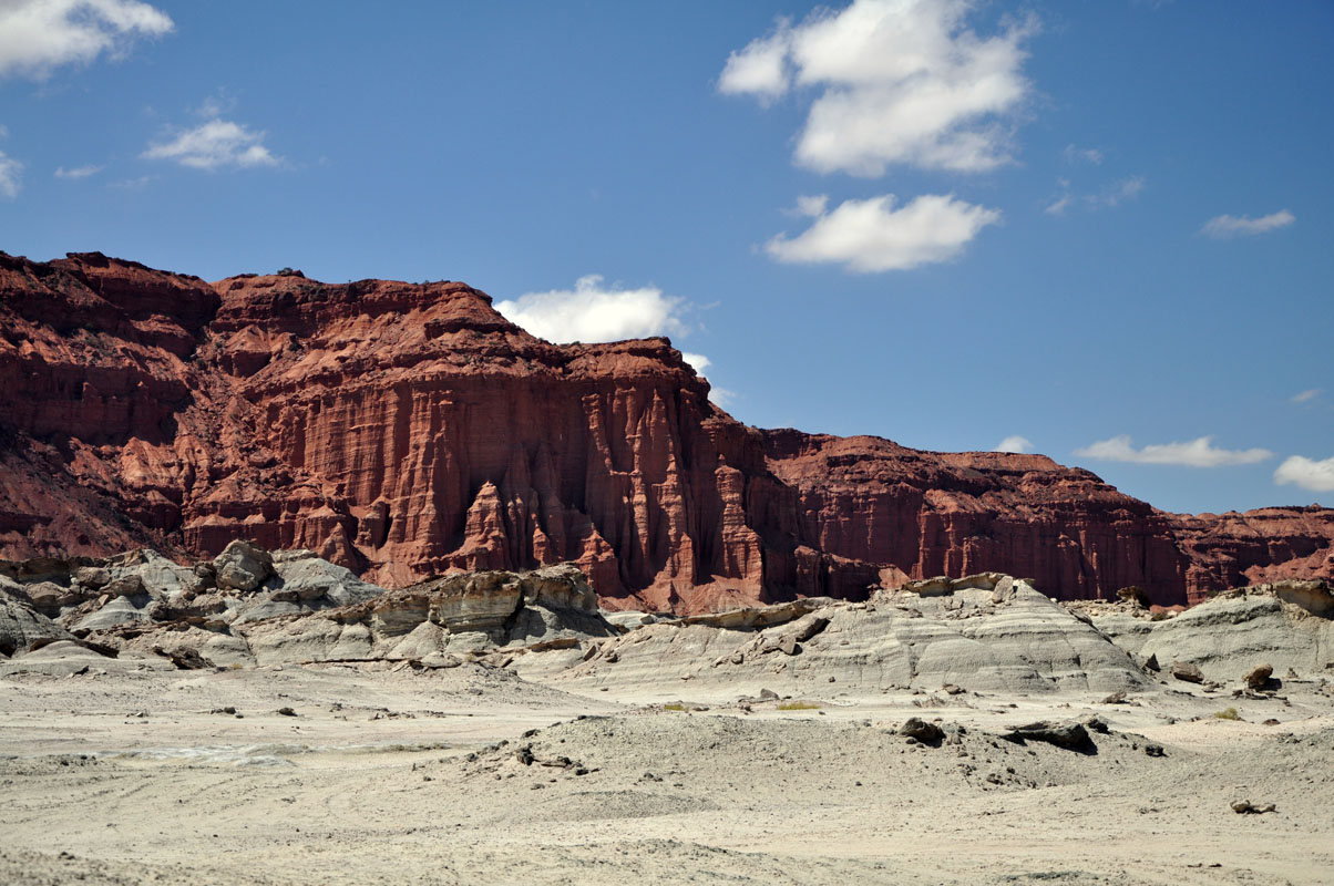
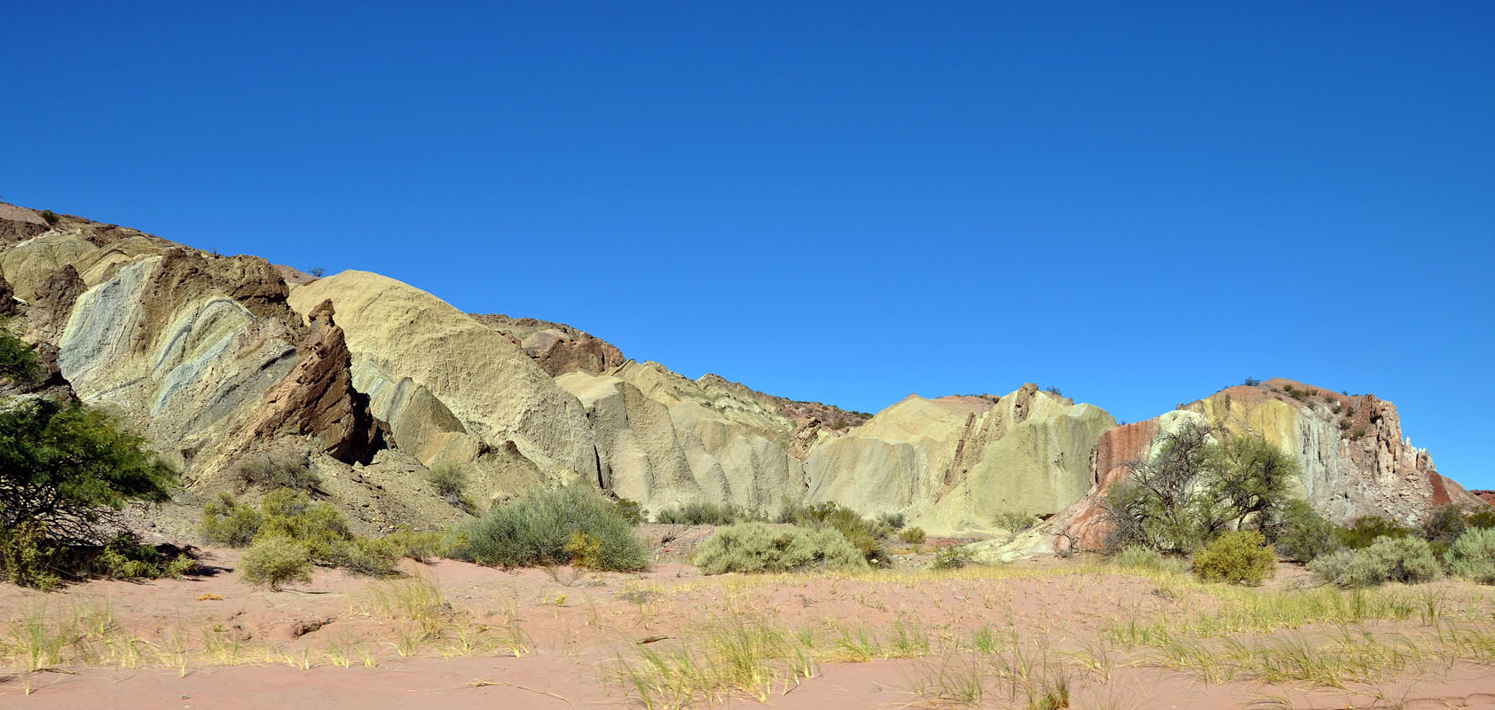
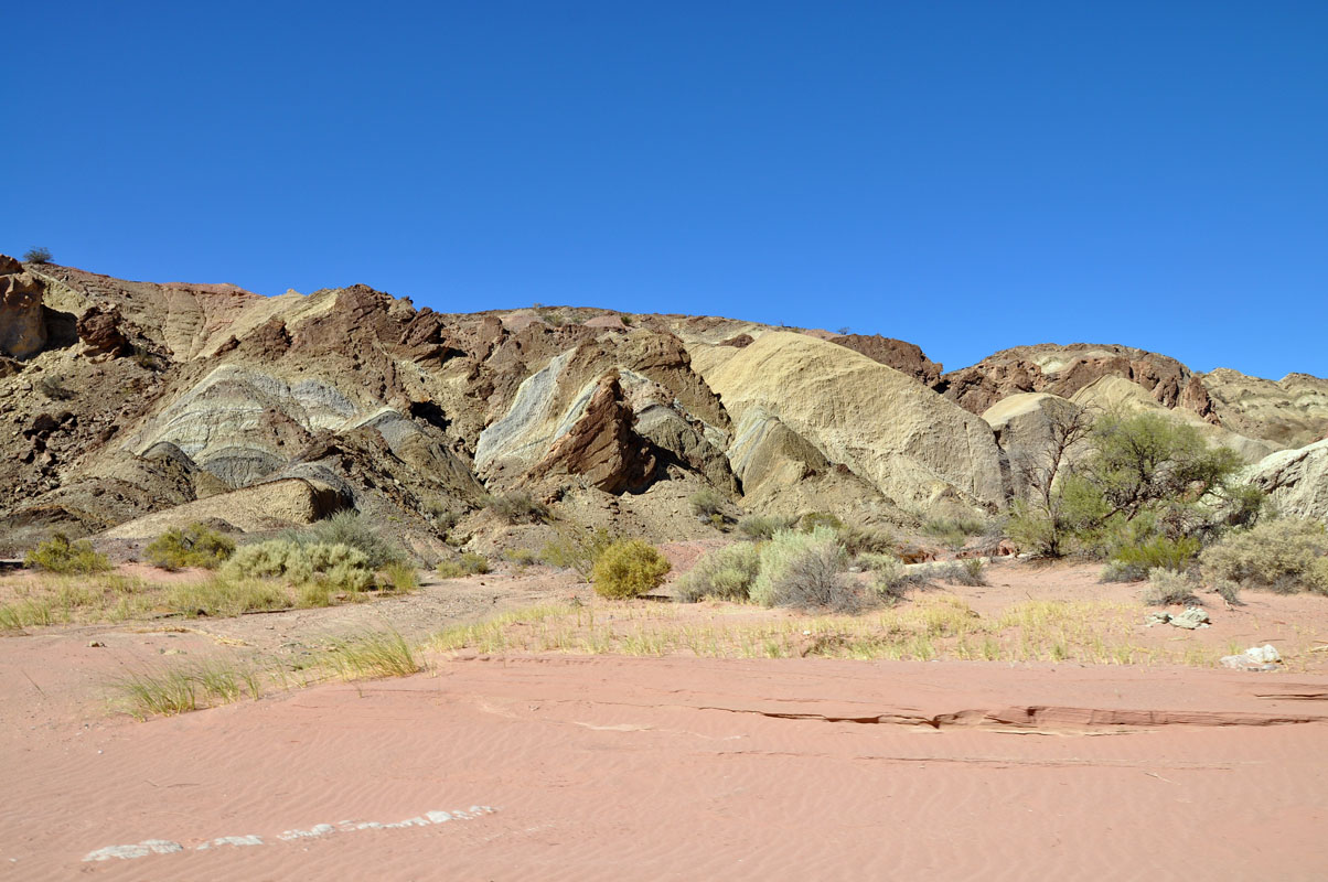
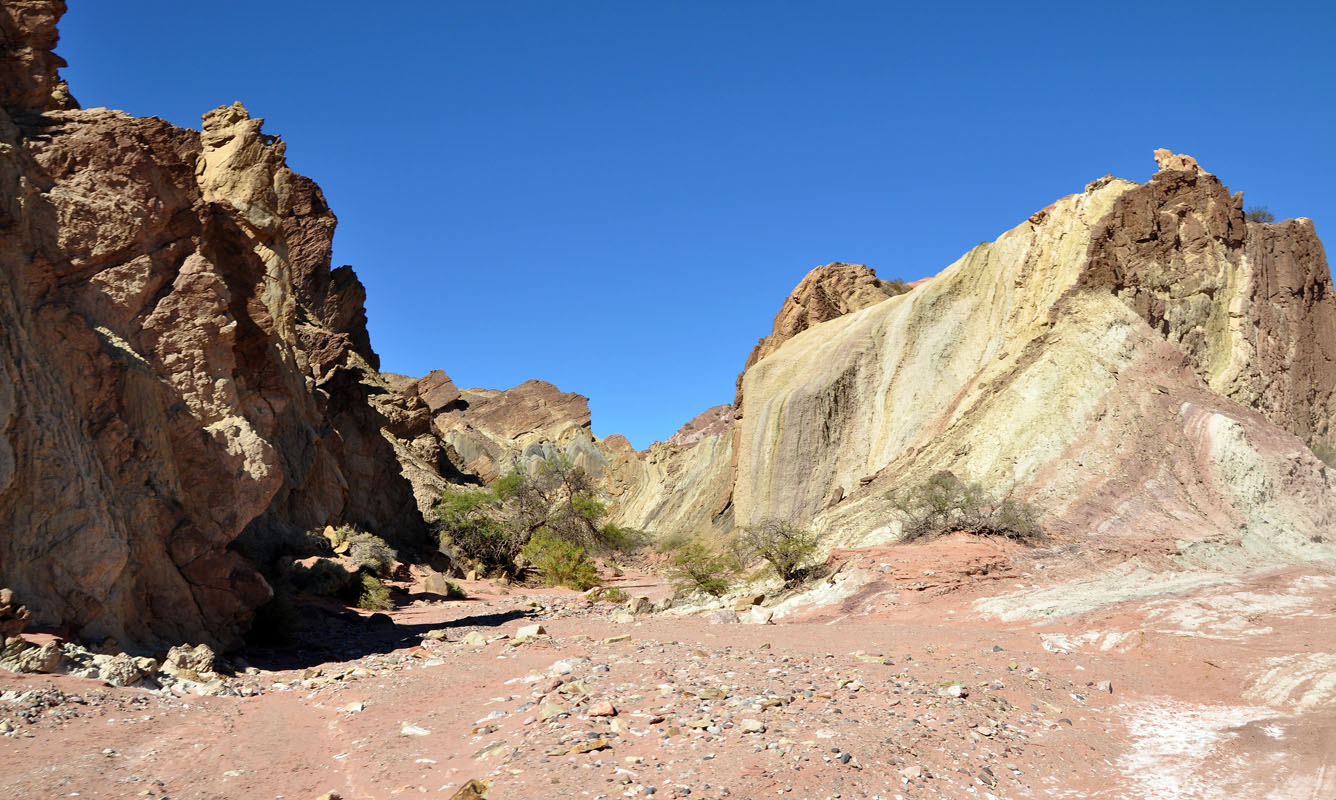
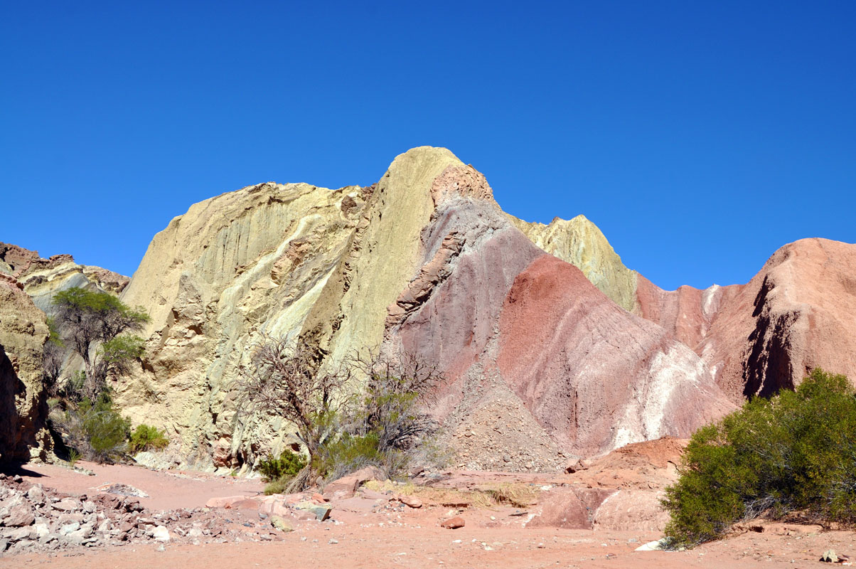
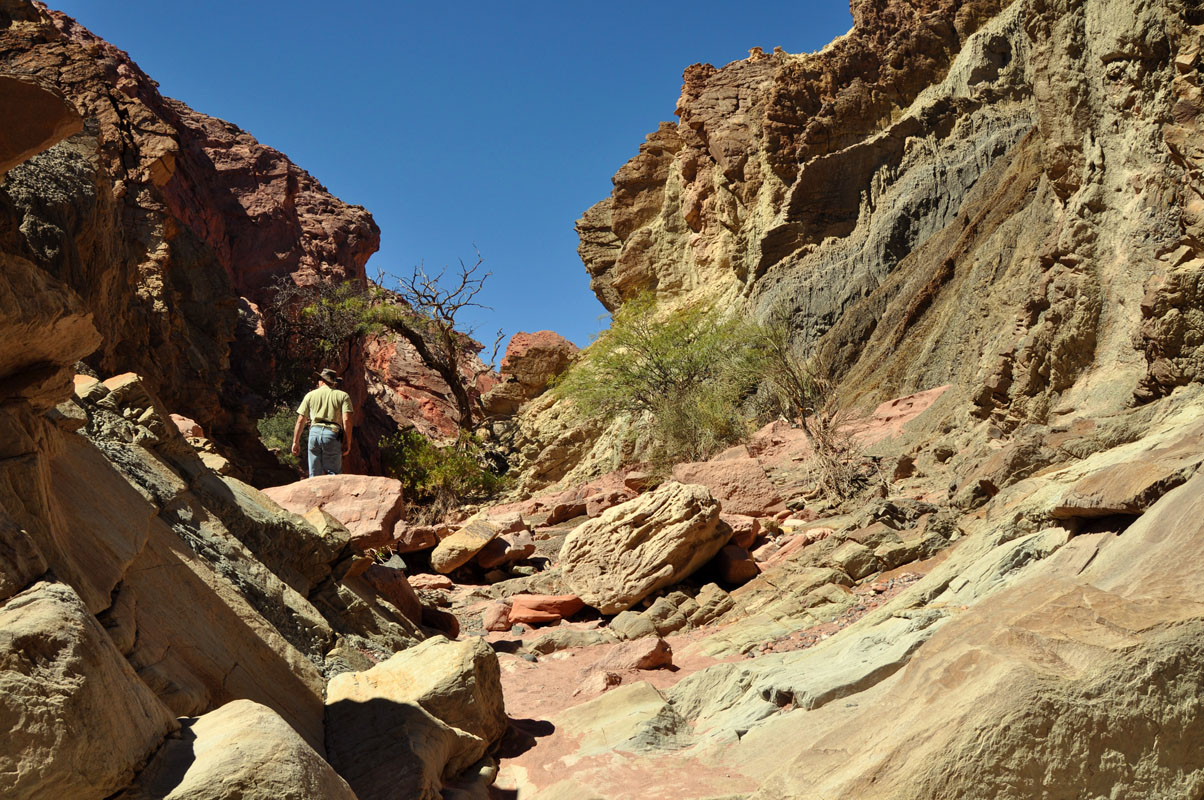
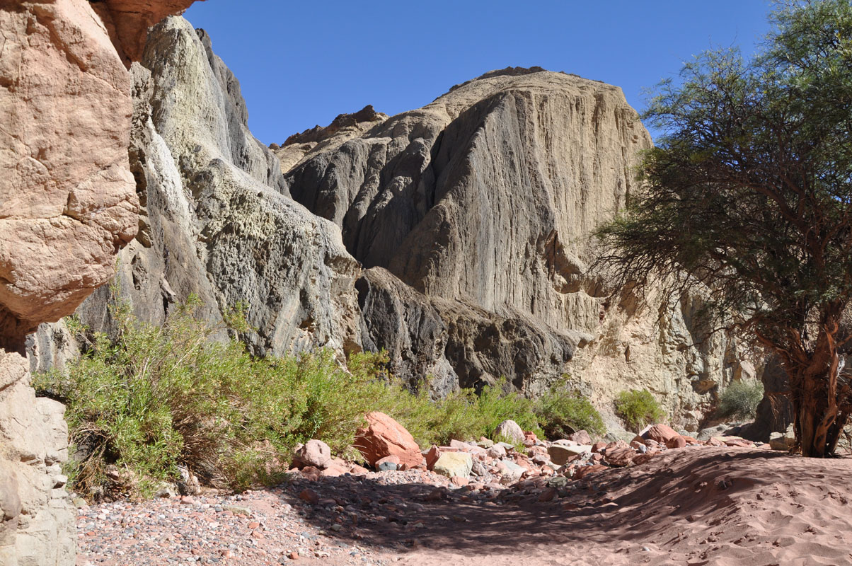
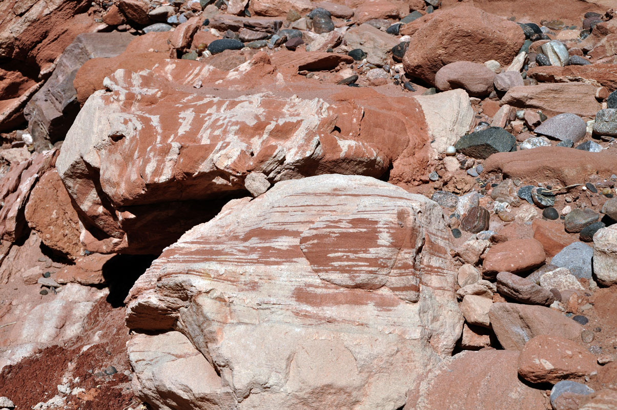
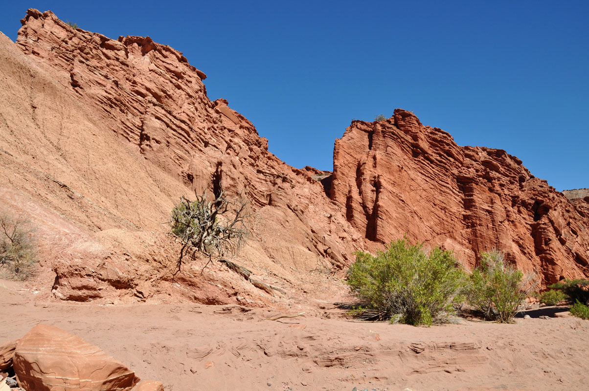
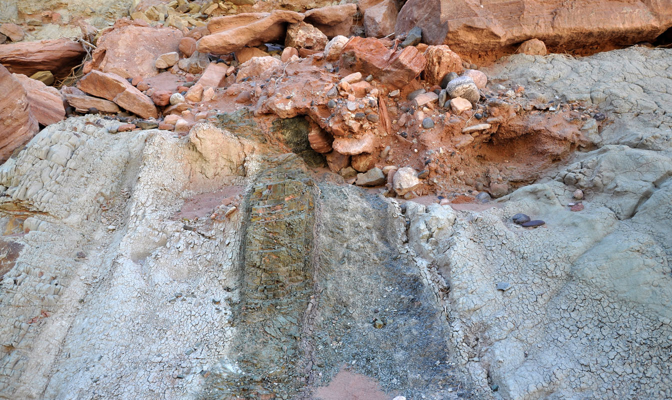
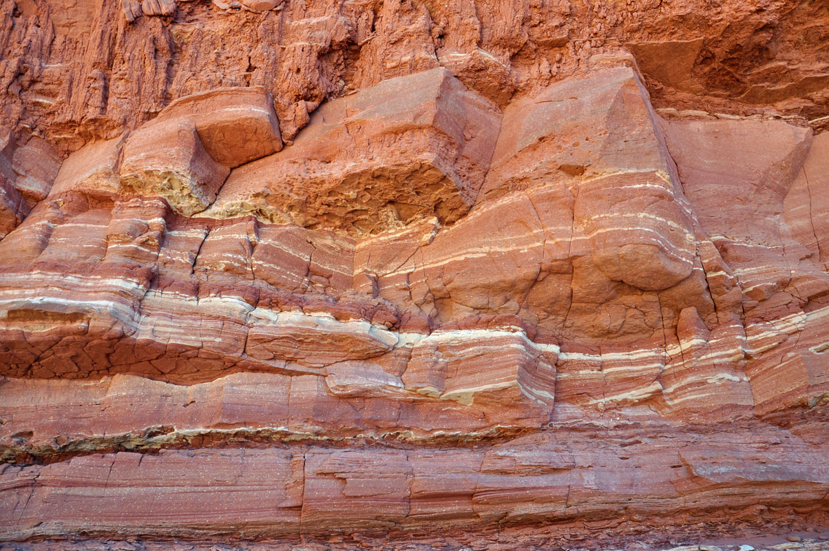
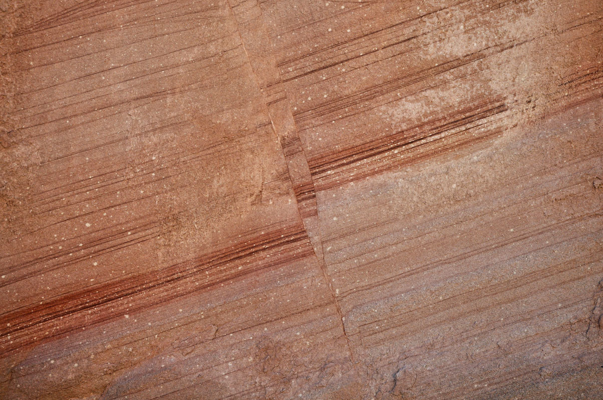
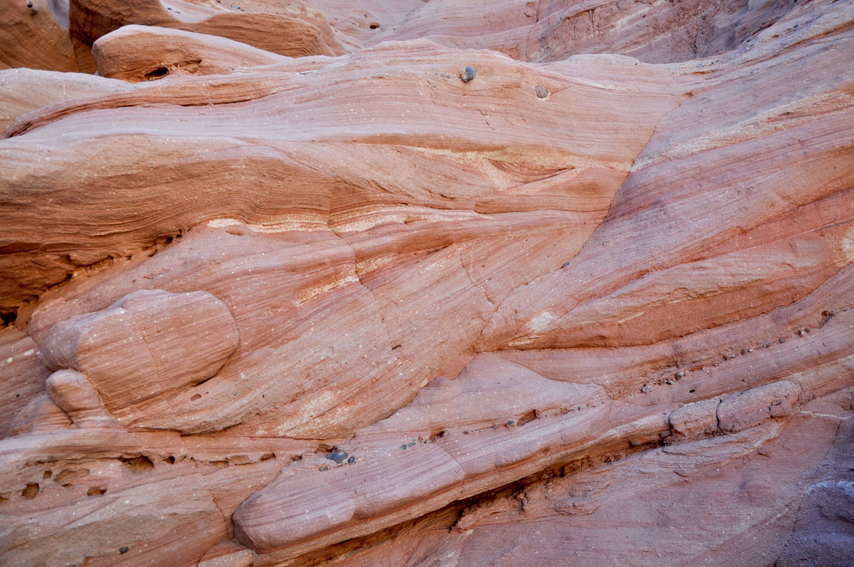
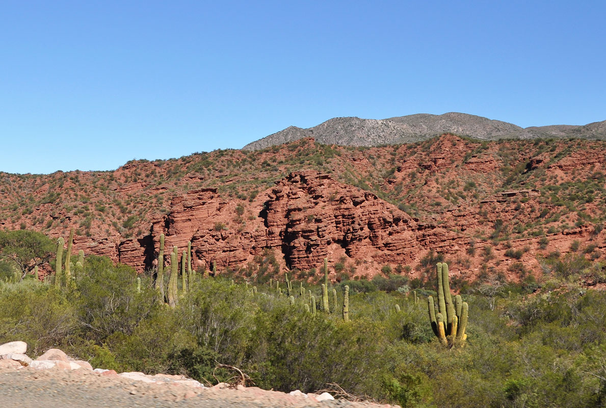
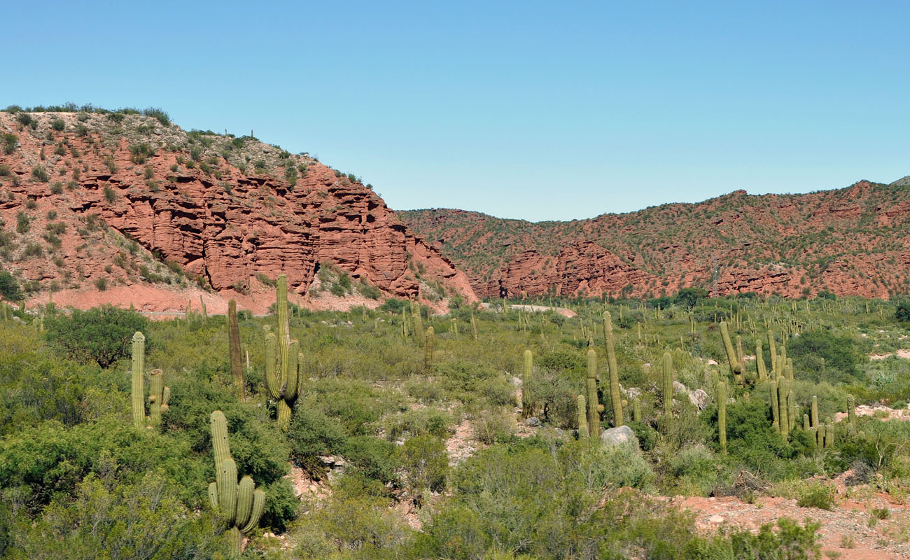
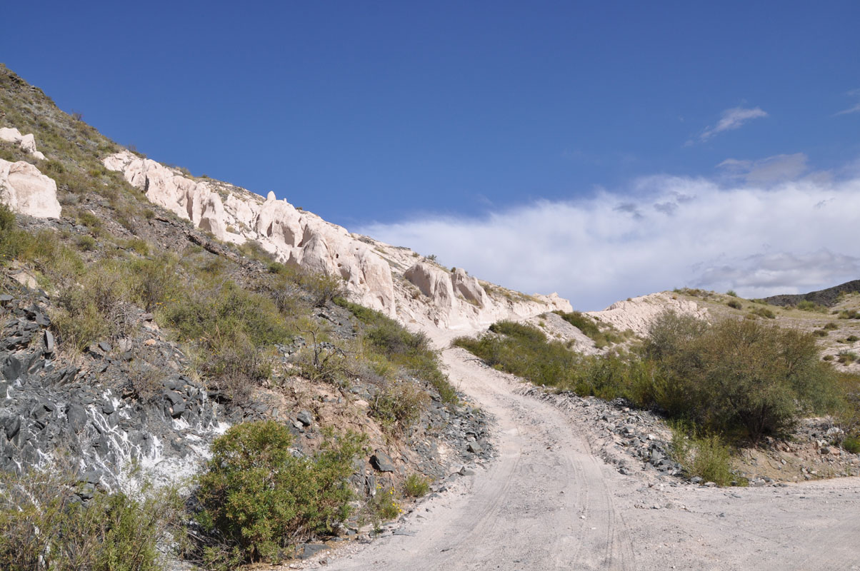
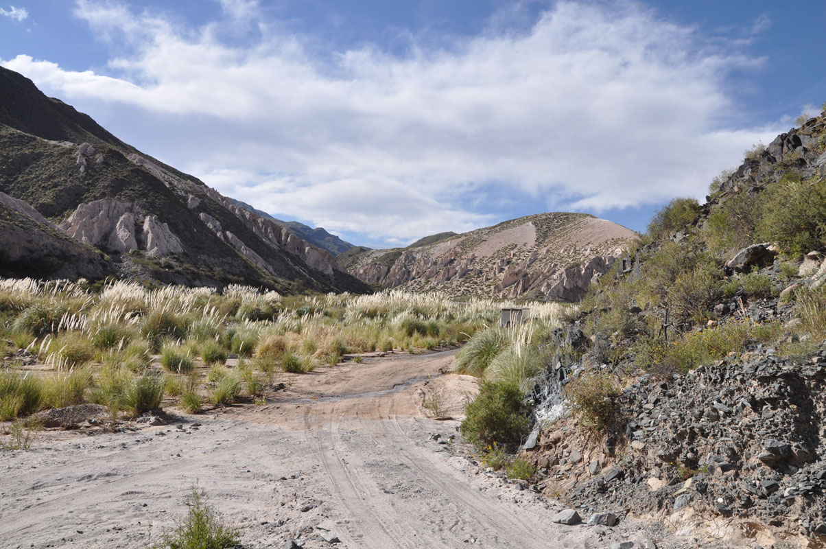
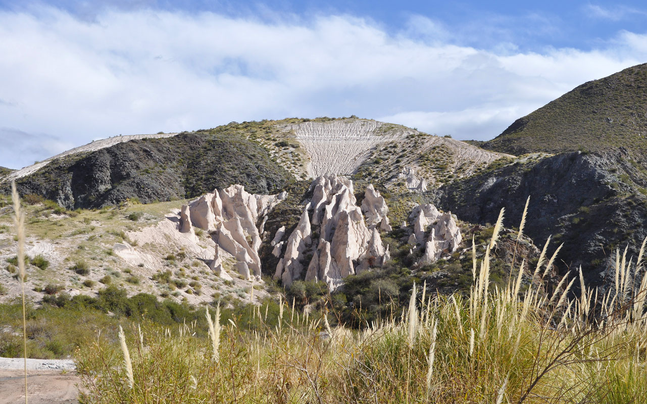
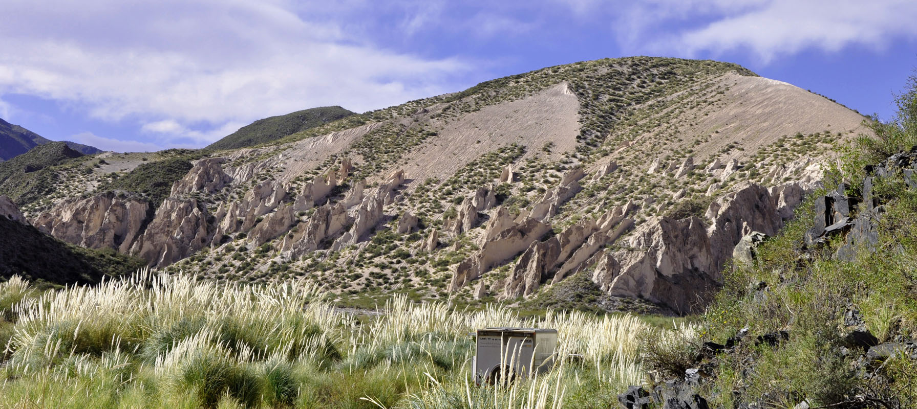
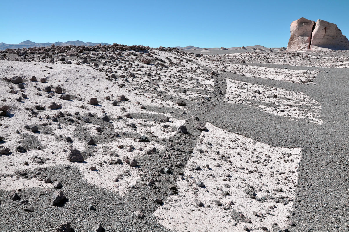
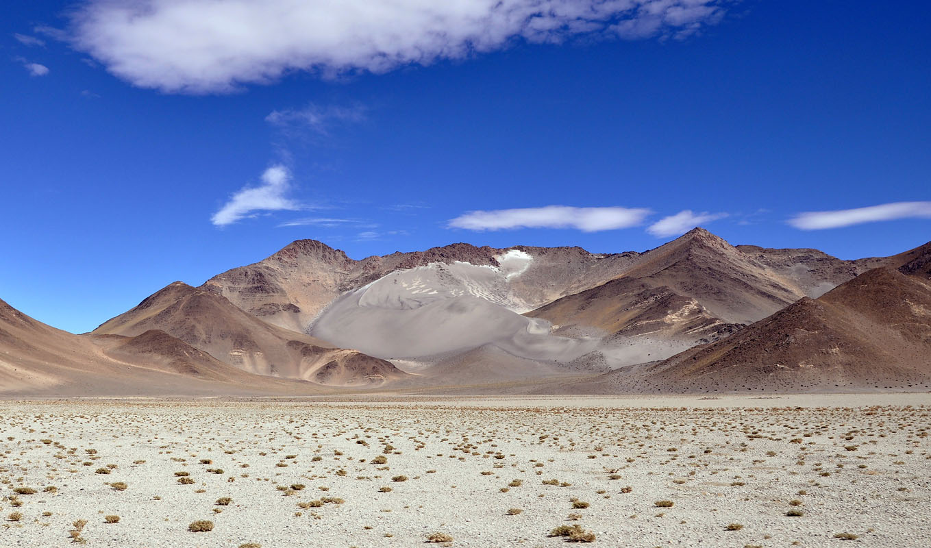
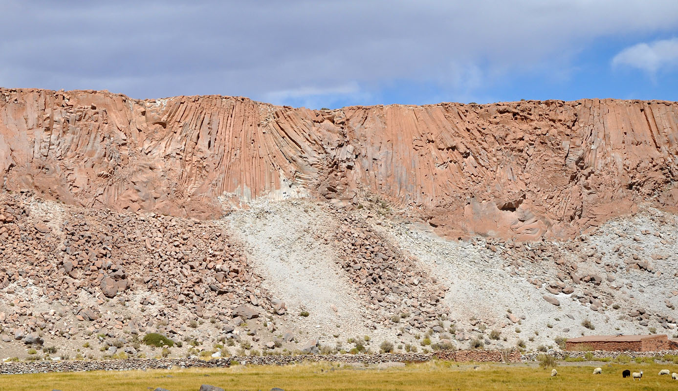
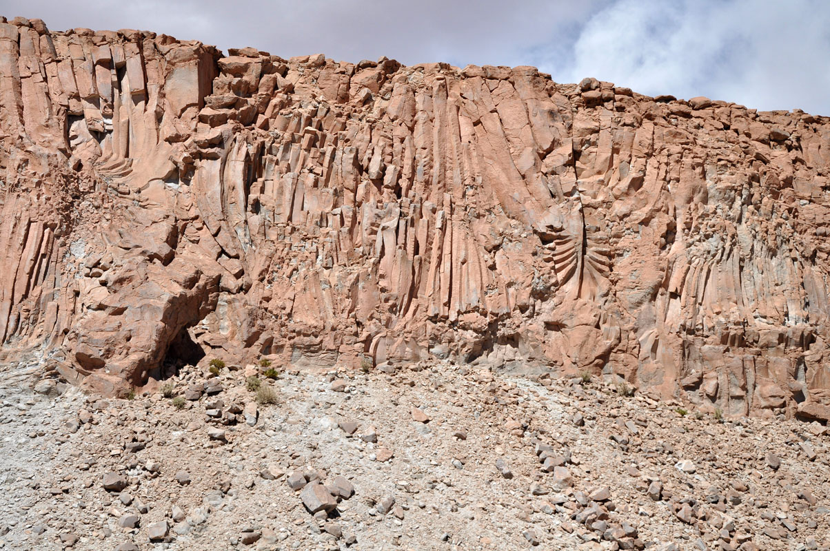
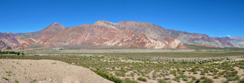
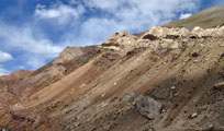
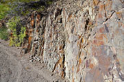
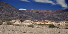
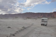
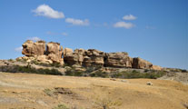
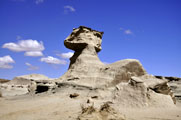
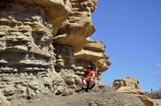
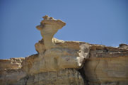
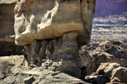
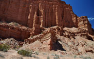
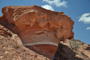
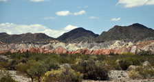
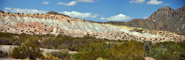
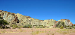
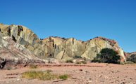
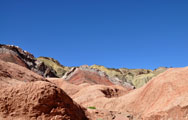
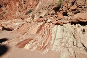
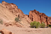
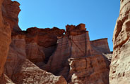
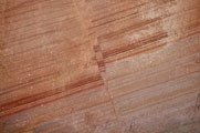
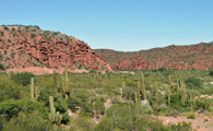
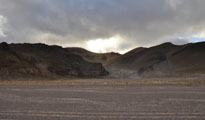
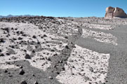
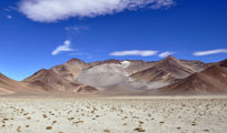
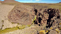
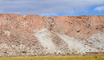
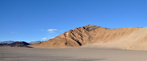
We drive through a geological fantasy.
The structure and colouring of the mountains changes constantly.
It is stunning to see what nature can produce.
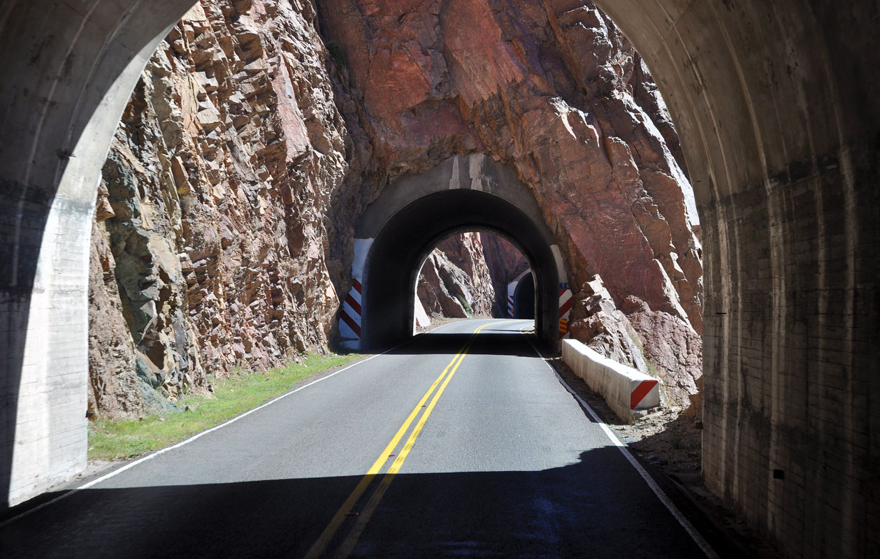
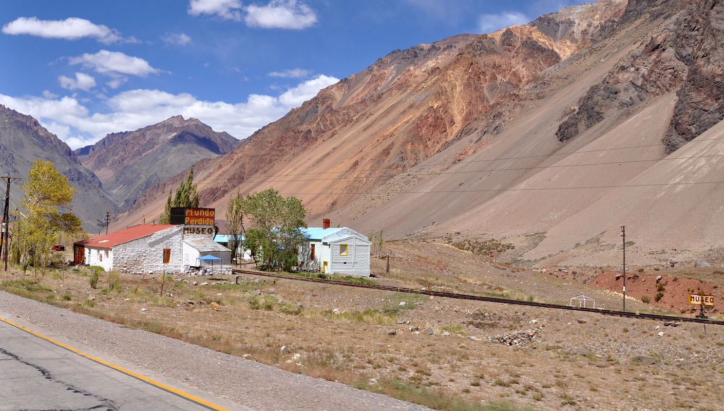
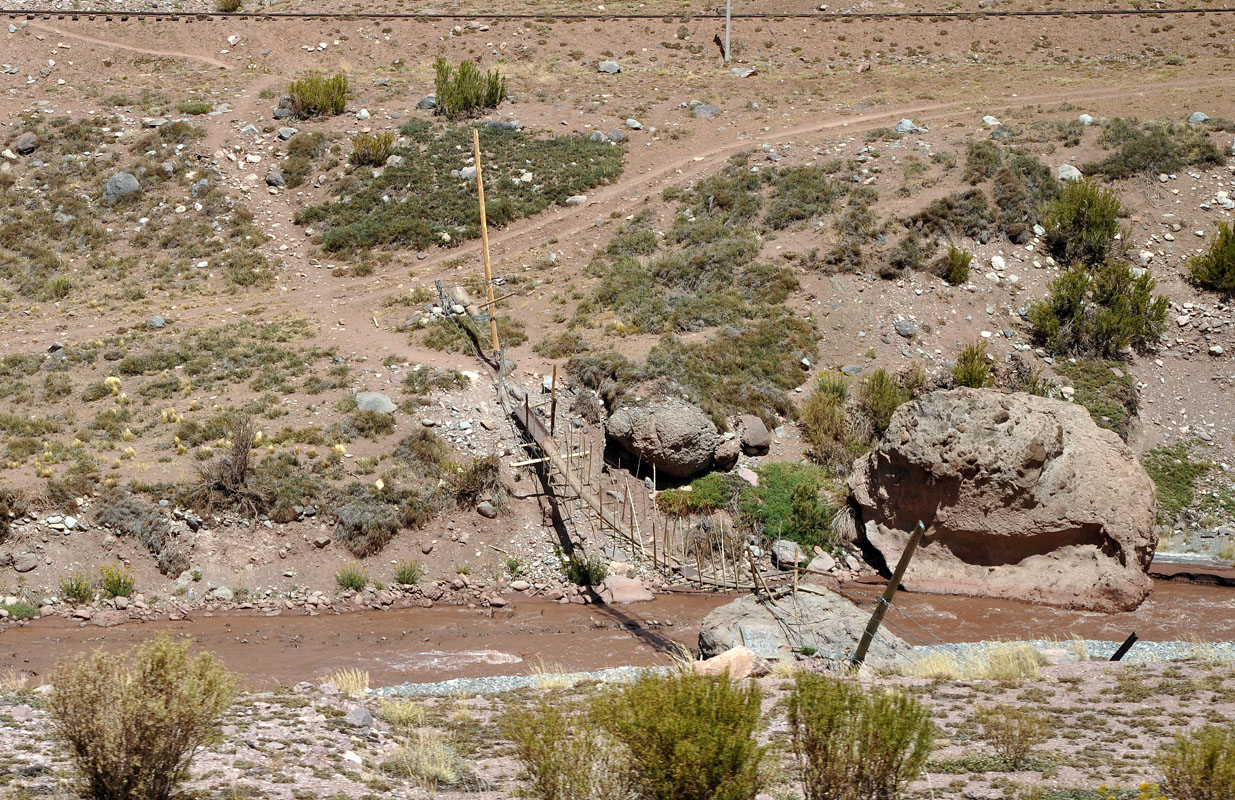
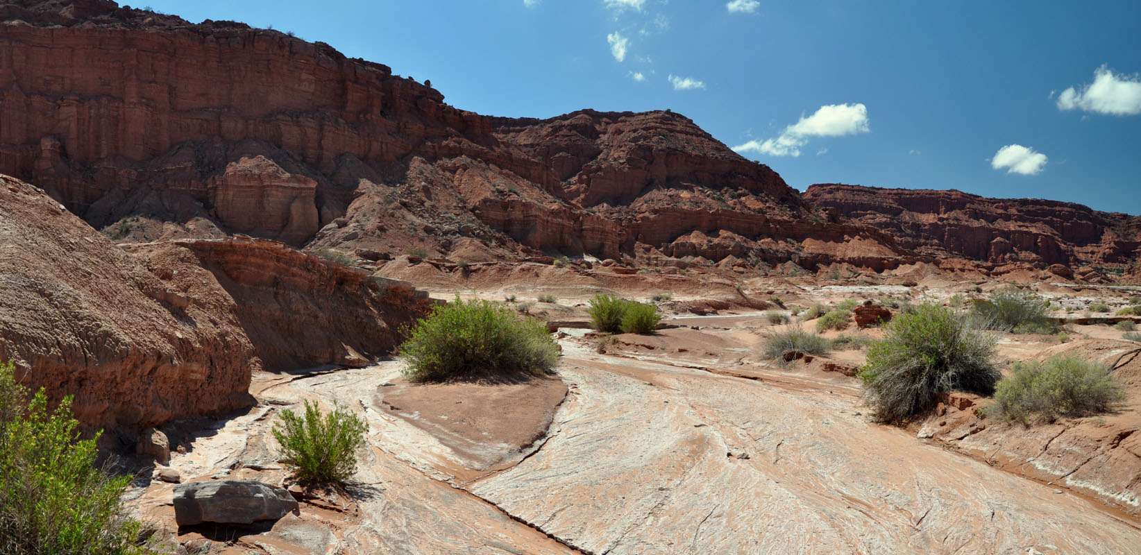
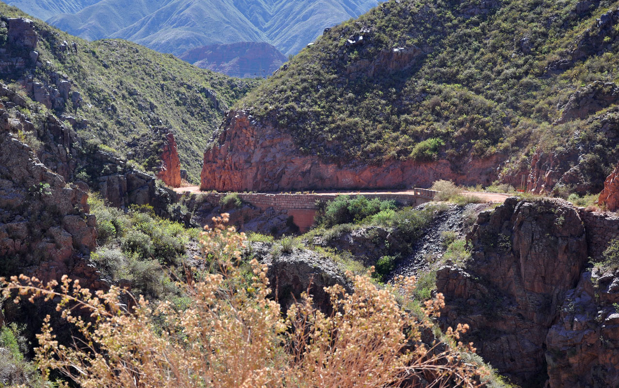
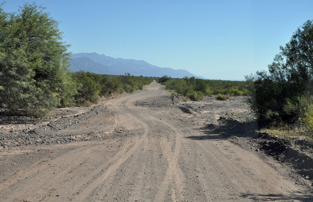
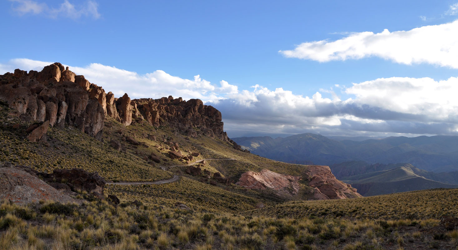
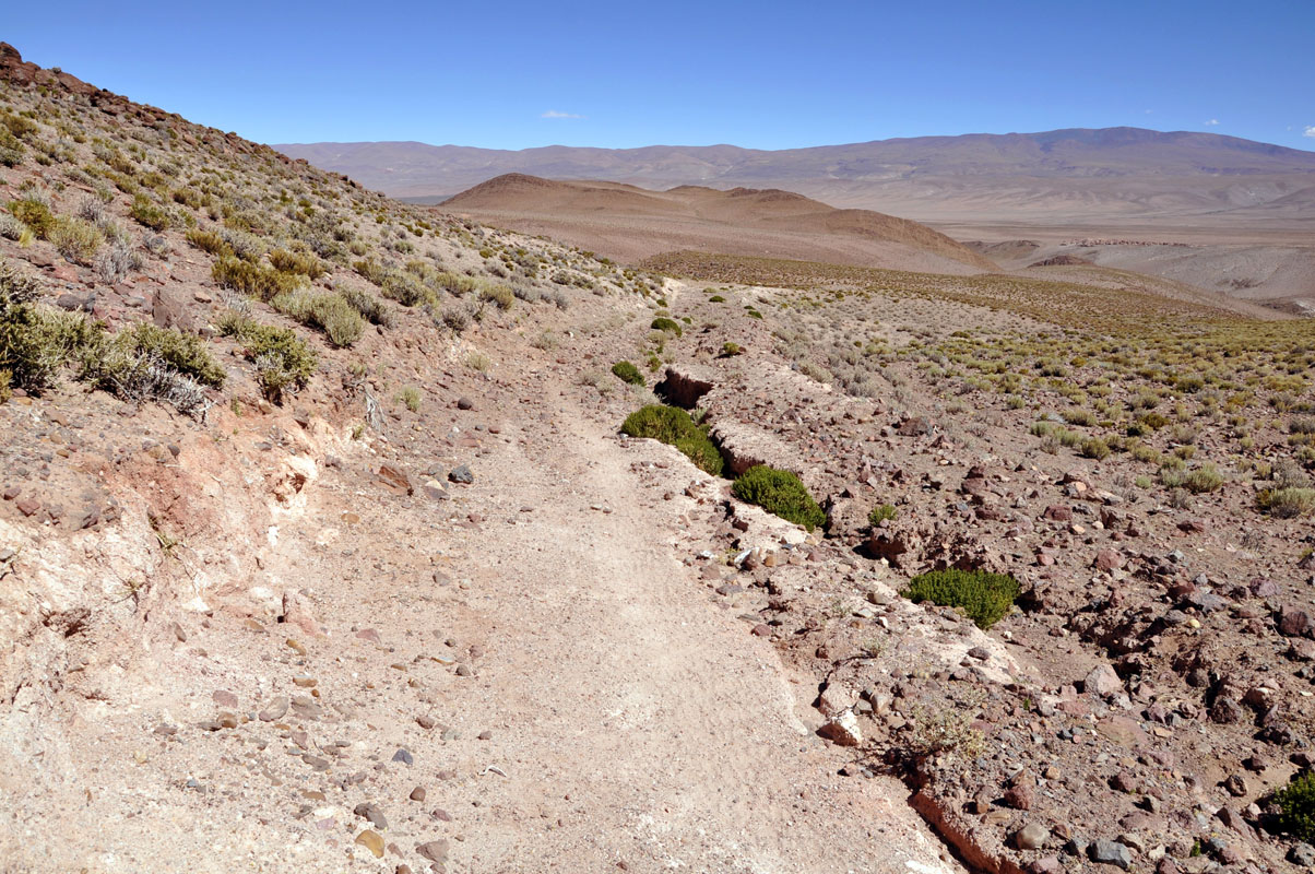
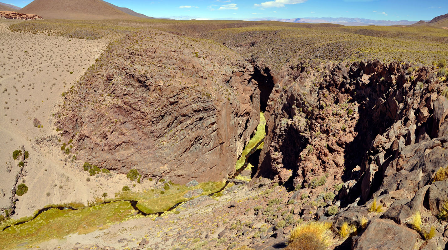
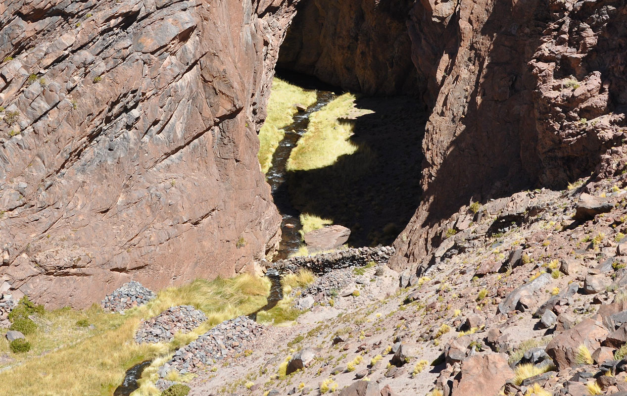
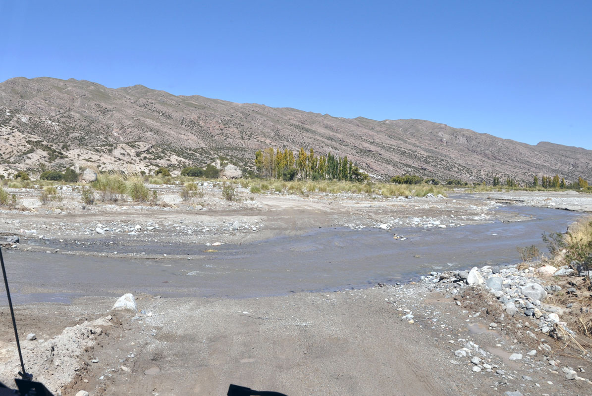
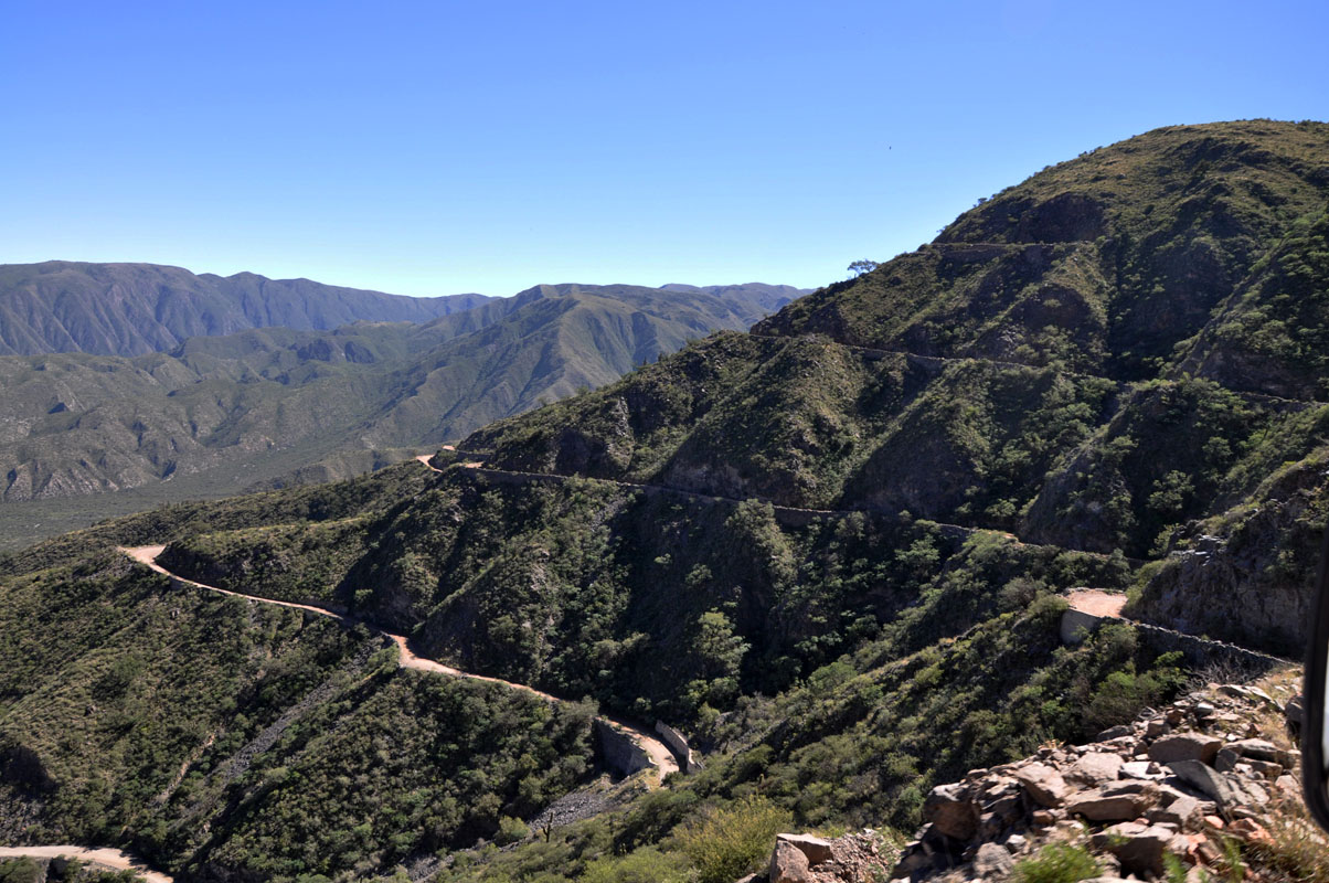
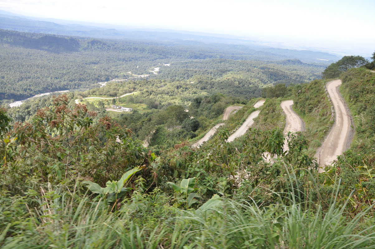
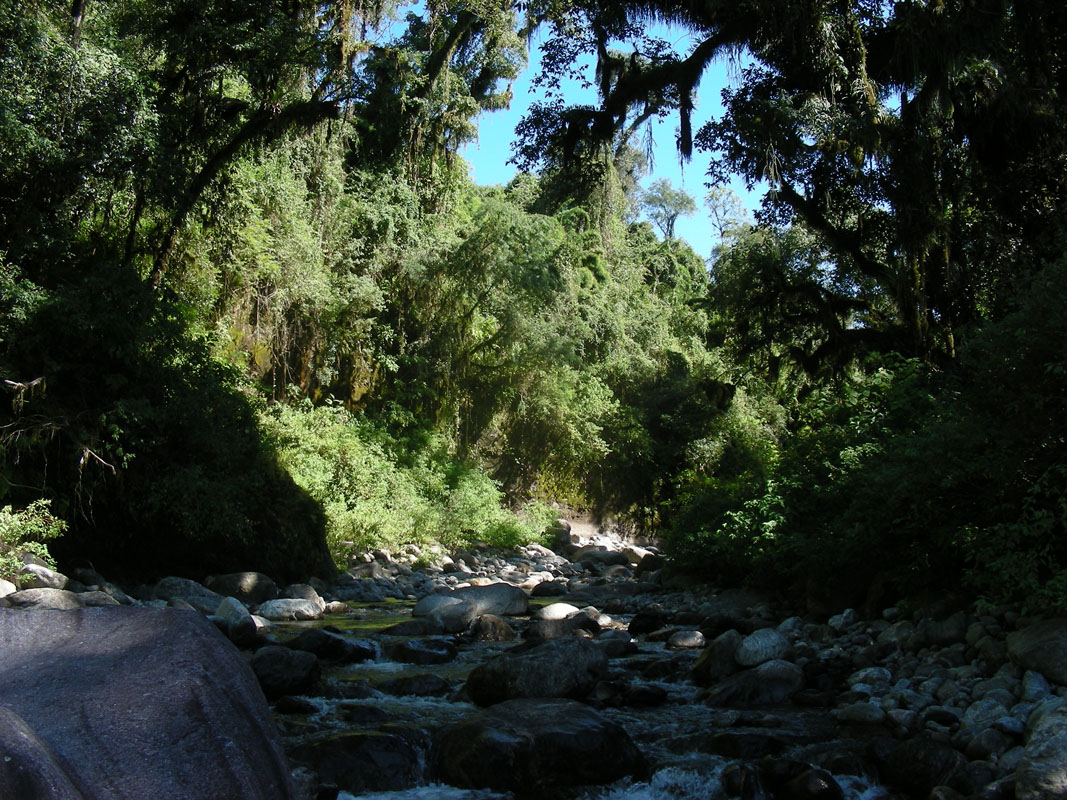
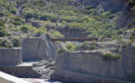
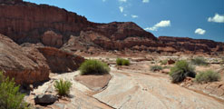
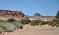
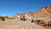
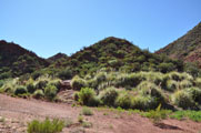
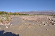
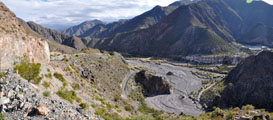
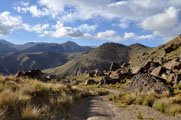
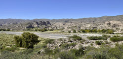
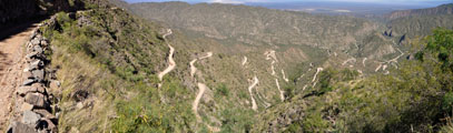
The road follows the old train rails and bridges trough the valley.
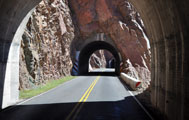
The valley is quite narrow and often we have to pass tunnels.
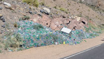
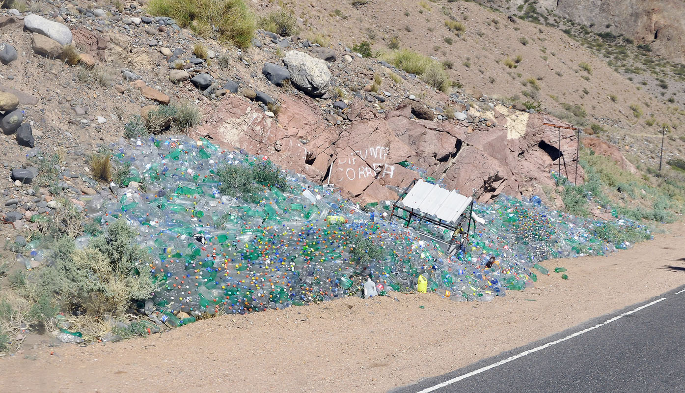
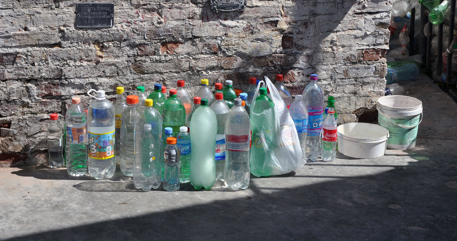
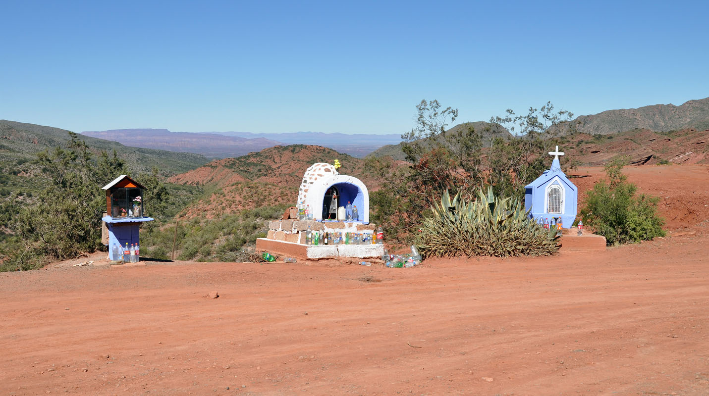
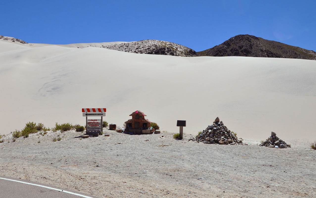
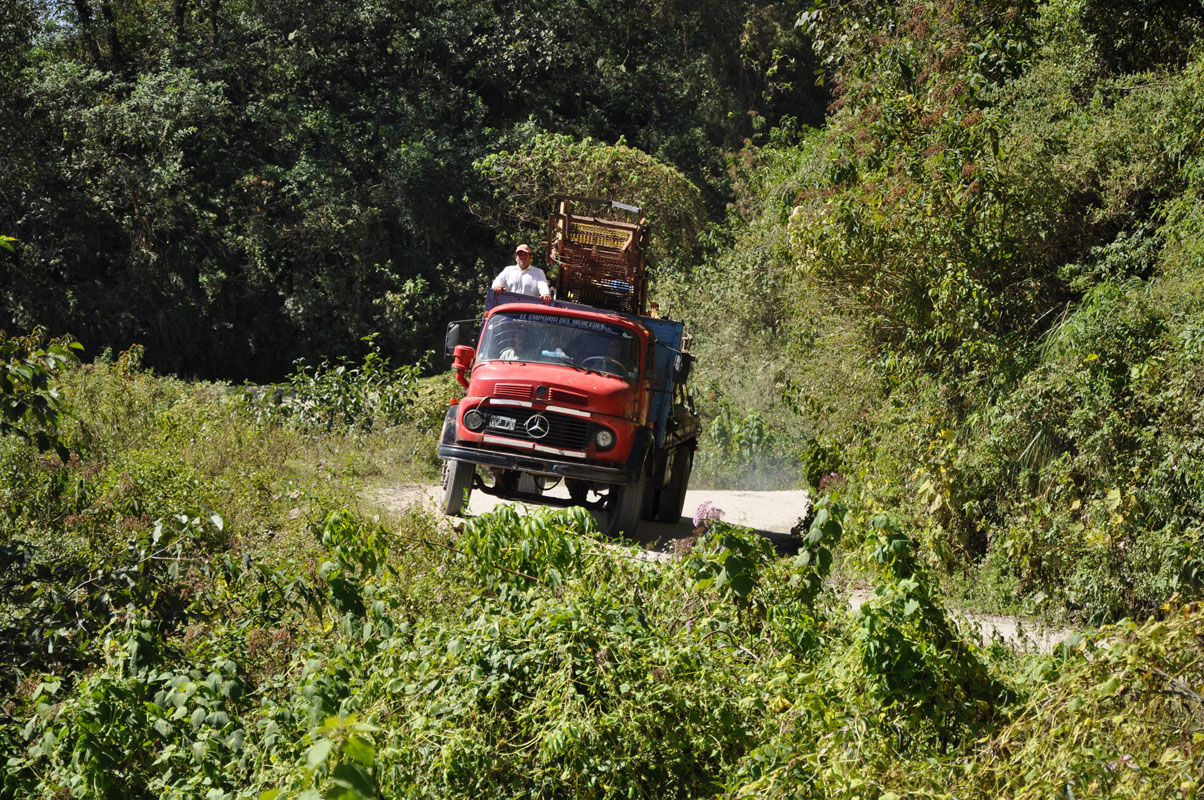
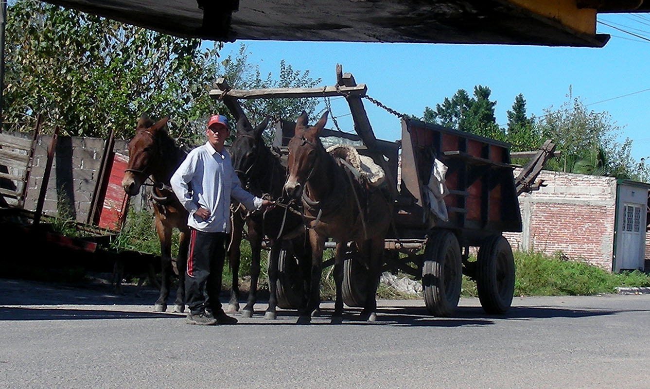
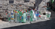
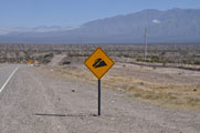
On the way every so often we see piles of PET bottles .... but there is no rubbish bin close by that could be overflowing ..... and we wonder why the Argentinians throw them onto one site ...
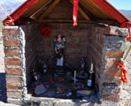
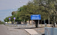
On one site we can read "Difunta Correa".
Thanks to the internet we find out what this is all about:
According to a popular legend, Difunta Correa (Deolinda Correa) was a woman whose husband was forcibly recruited in the army around the year 1840, during the Argentine civil wars.
Becoming sick, he was then abandoned by the Montoneras [partisans].
In an attempt to reach her sick husband, Deolinda took her baby child and followed the tracks of the Montoneras through the desert of San Juan Province.
When her supplies ran out, she died.
Her body was found days later by gauchos that were driving cattle through, and to their astonishment found the baby still alive, feeding from the deceased woman's "miraculously" ever-full breast.
The men buried the body in present-day Vallecito, and took the baby with them.
The cultus to the Difunta Correa is that of an unofficial popular saint, not recognised by the Catholic Church.
Her devout followers believe her to perform miracles and intercede for the living.
The survival of her child would have been her first miracle.
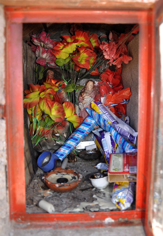
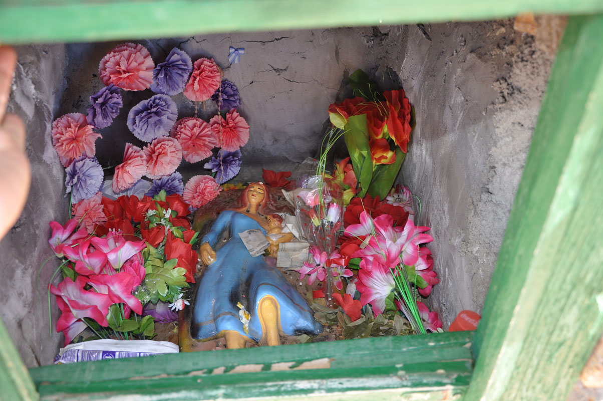
Cattle keepers first, then truck drivers, disseminated the figure of the Difunta, creating small altars in several routes throughout the country, with images and sculptures of the Deceased.
They there leave bottles of water as votive offerings, "to calm her eternal thirst".
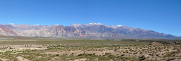
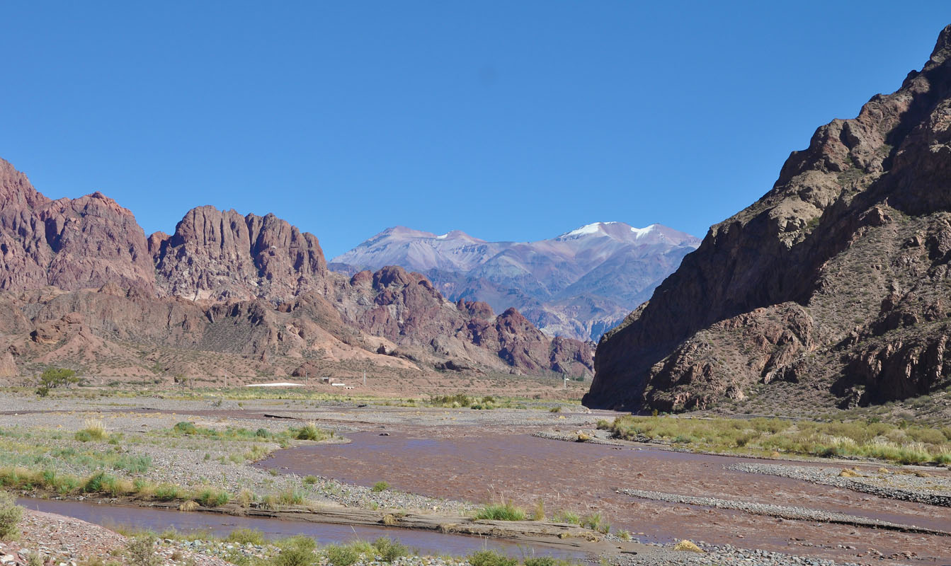
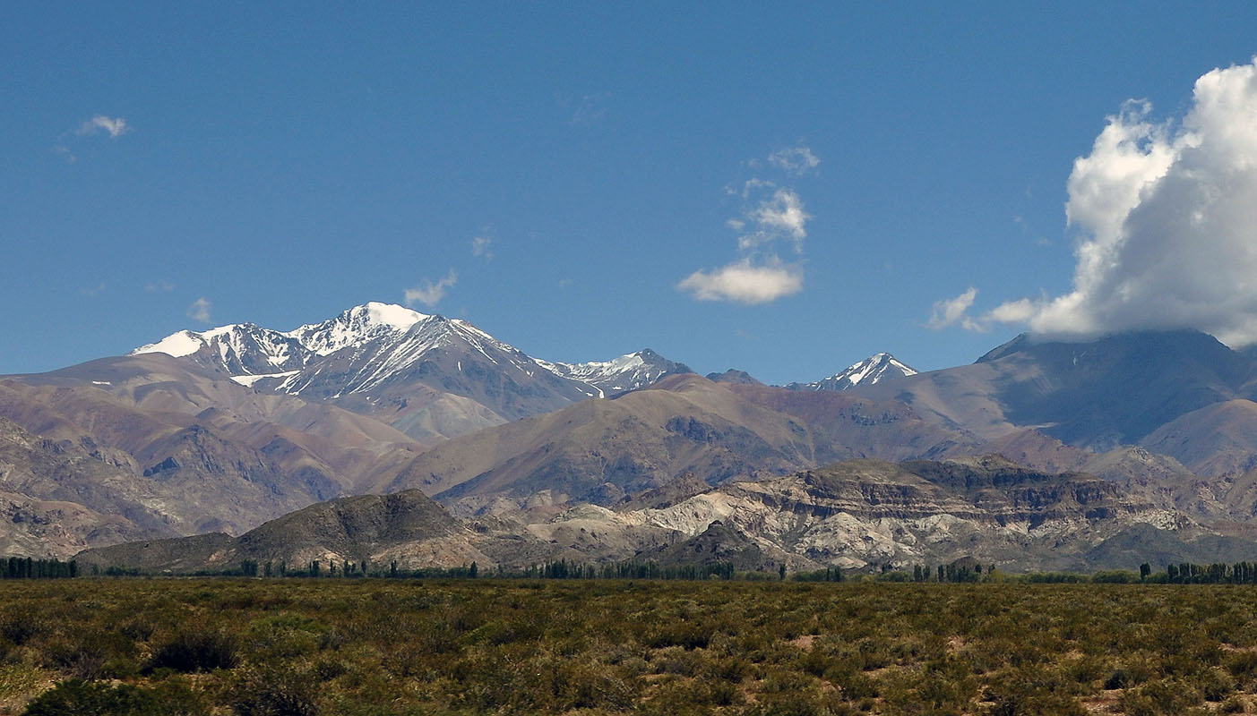
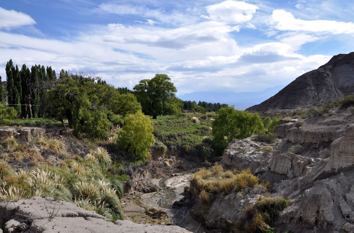
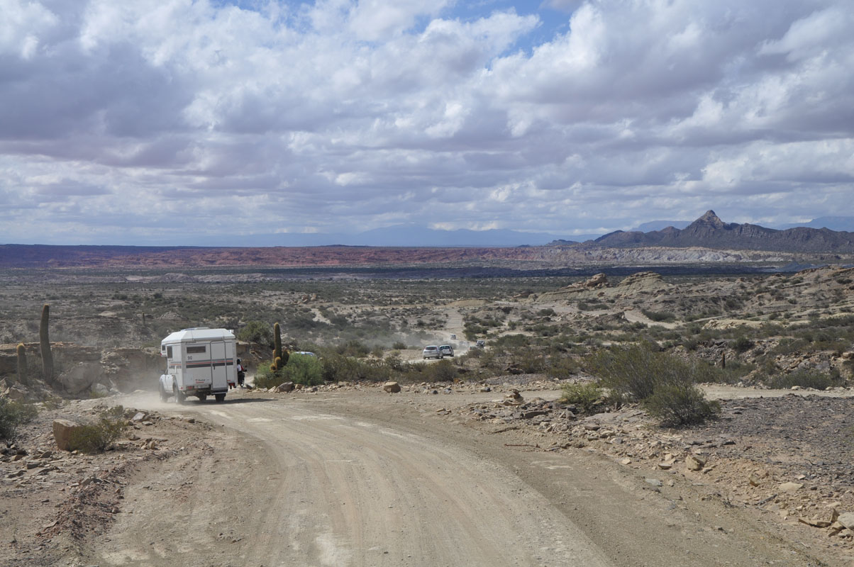
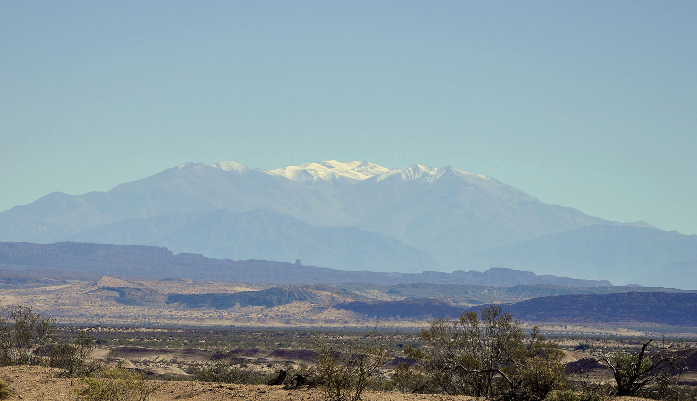
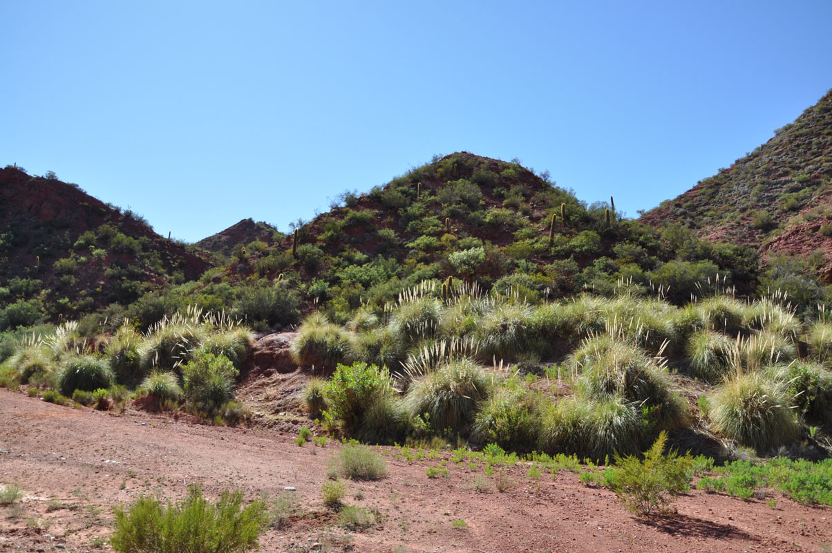
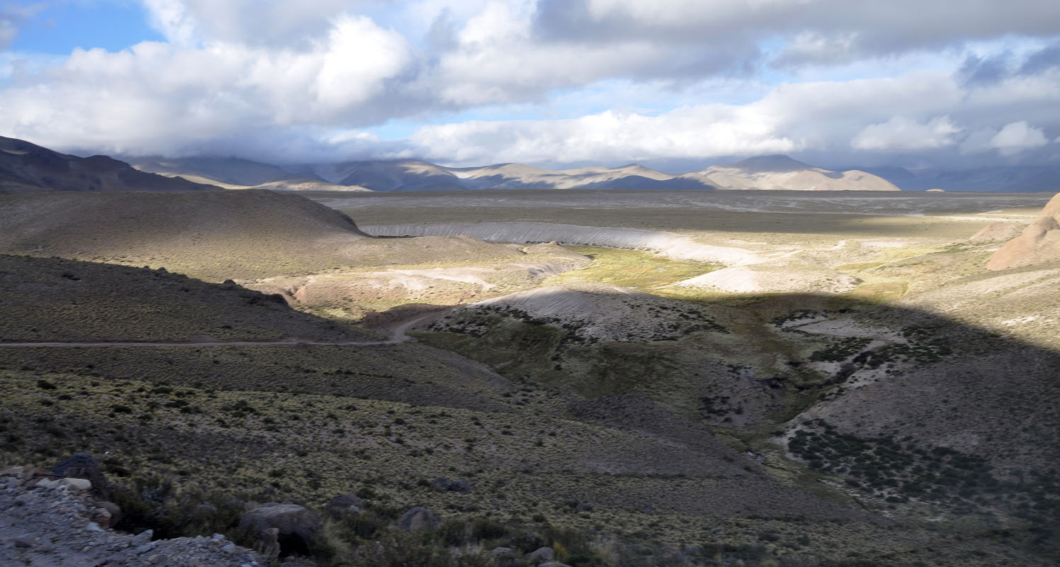
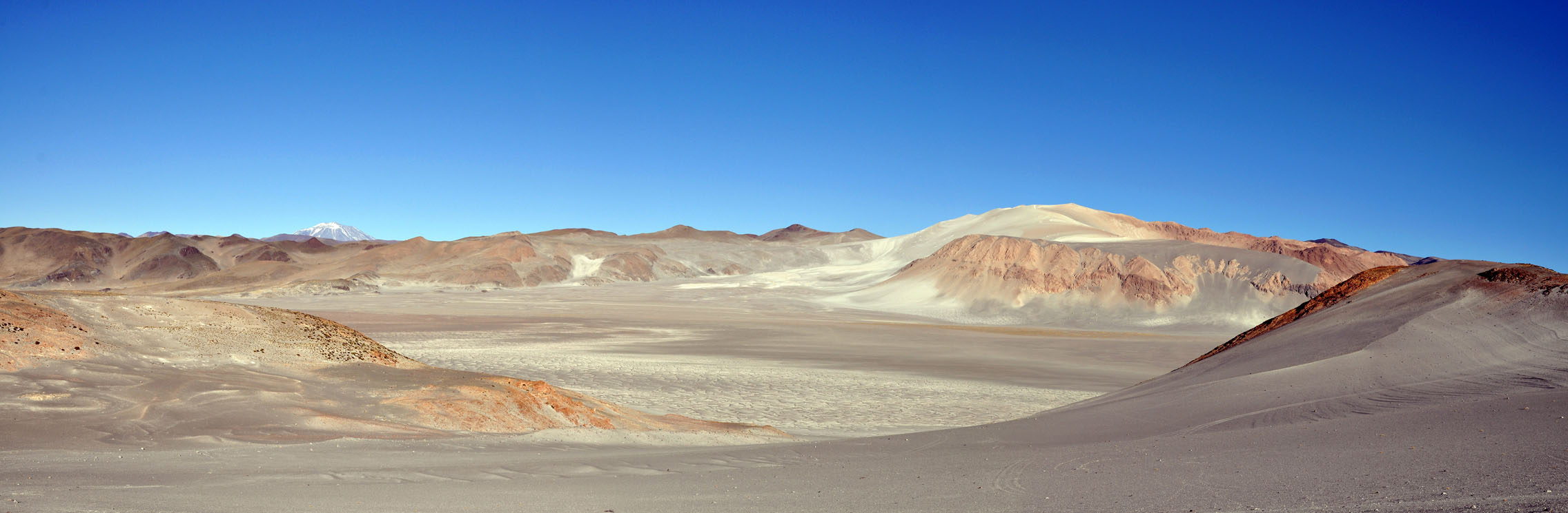
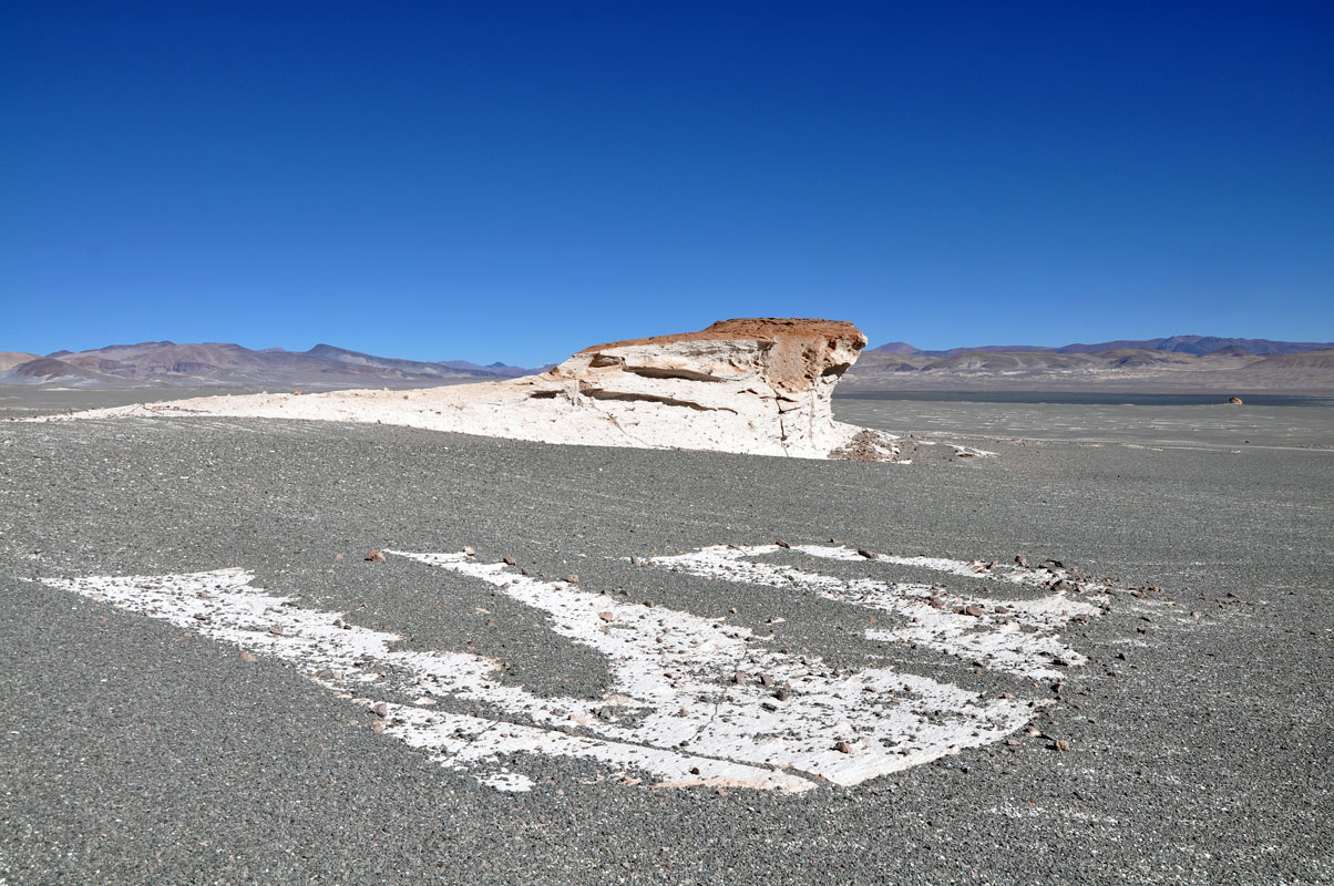
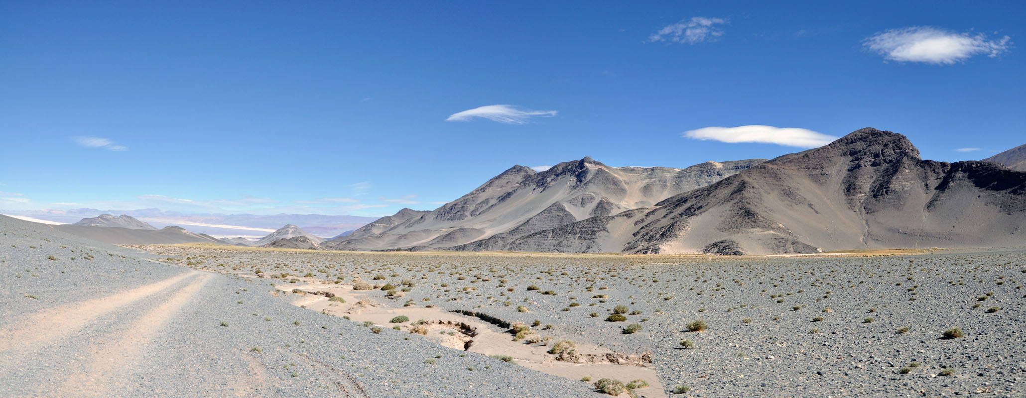
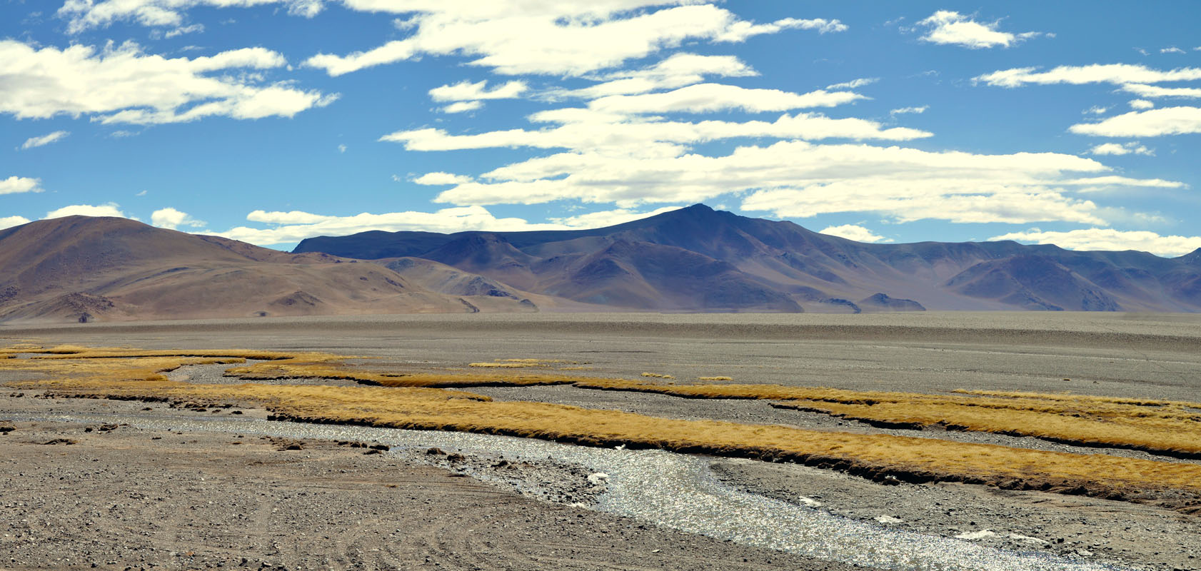
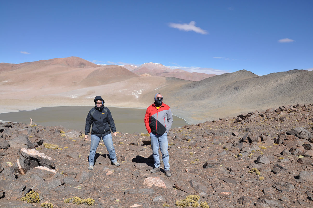
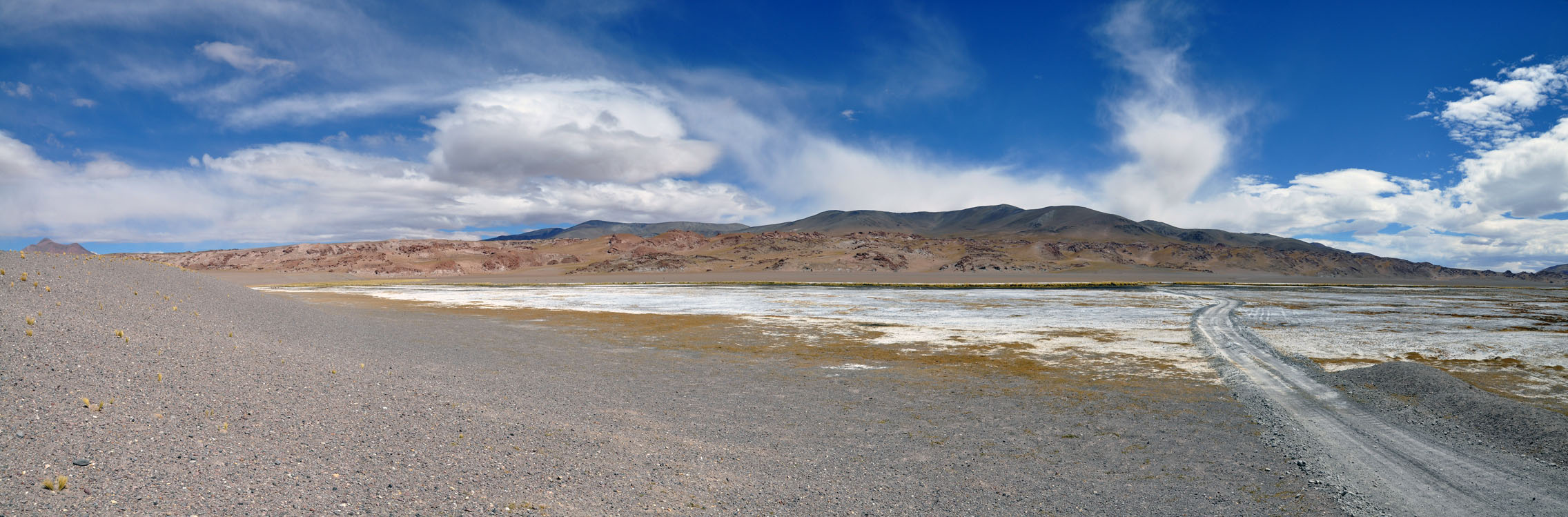
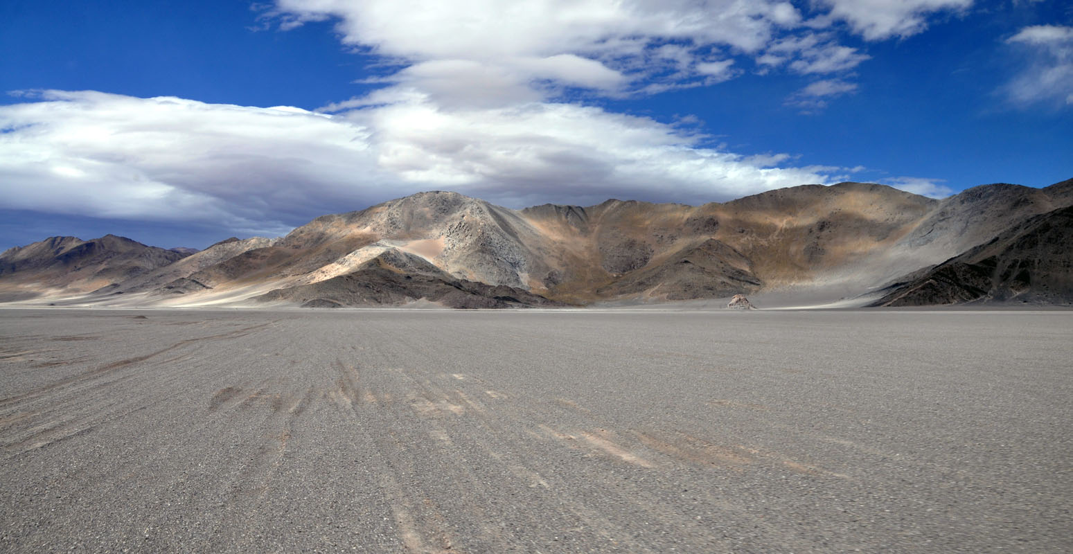
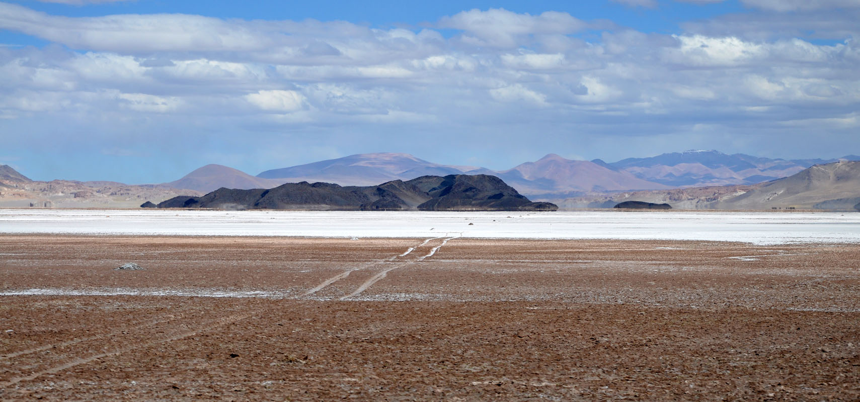
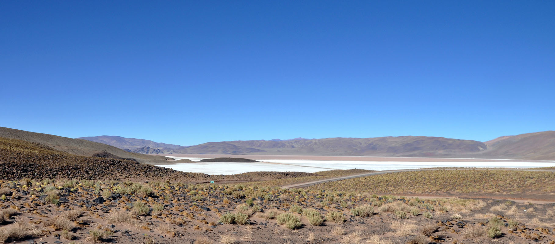
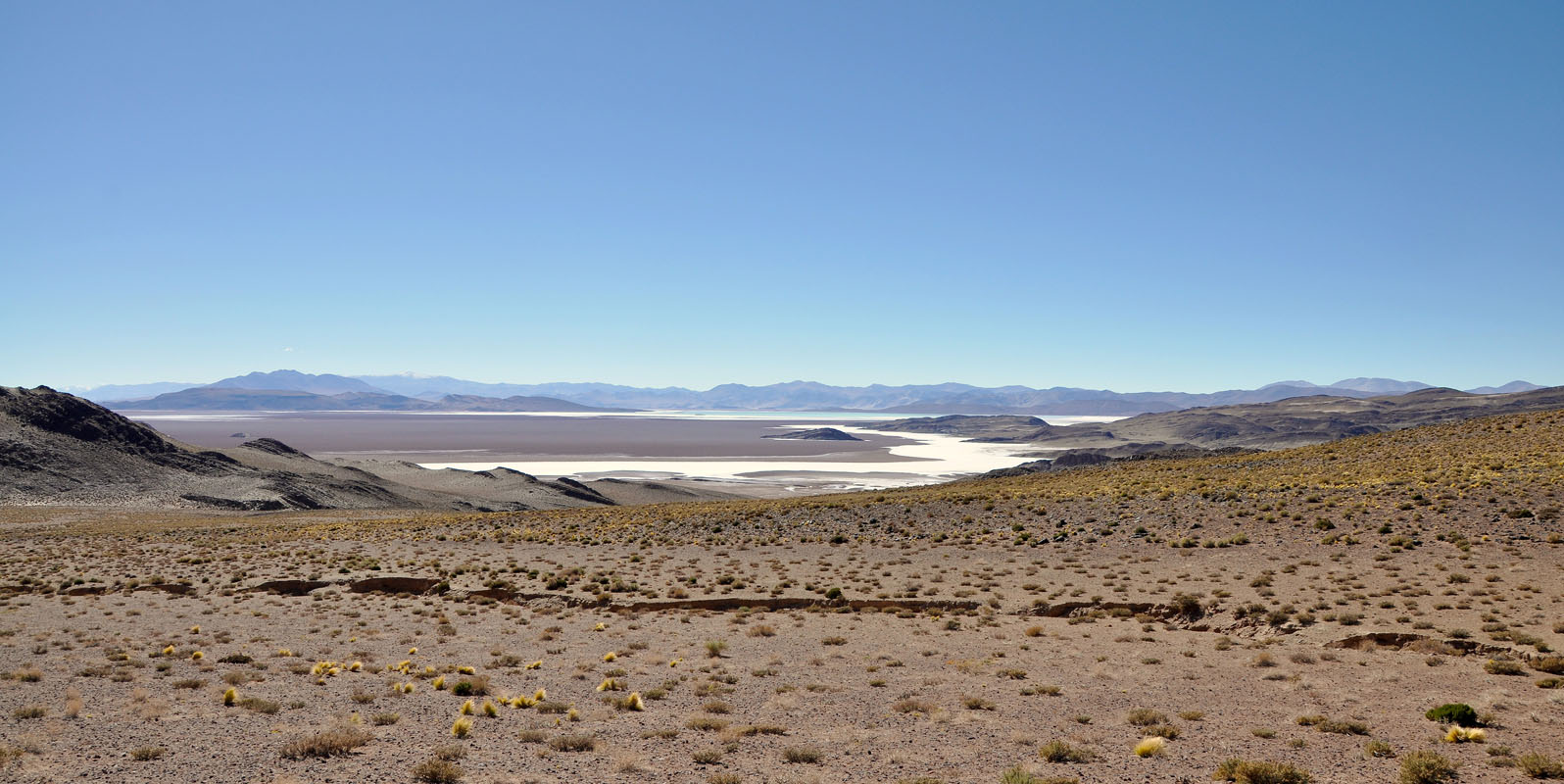
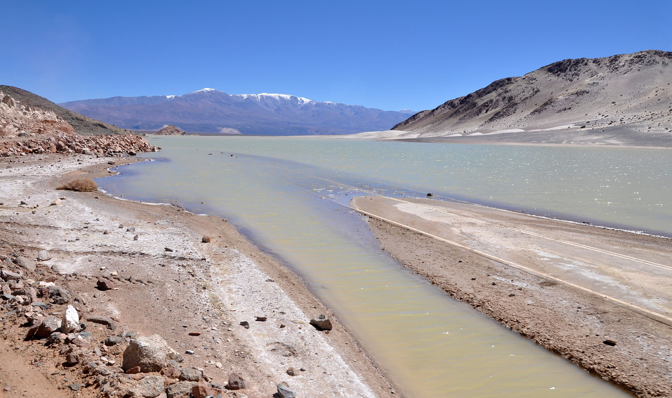
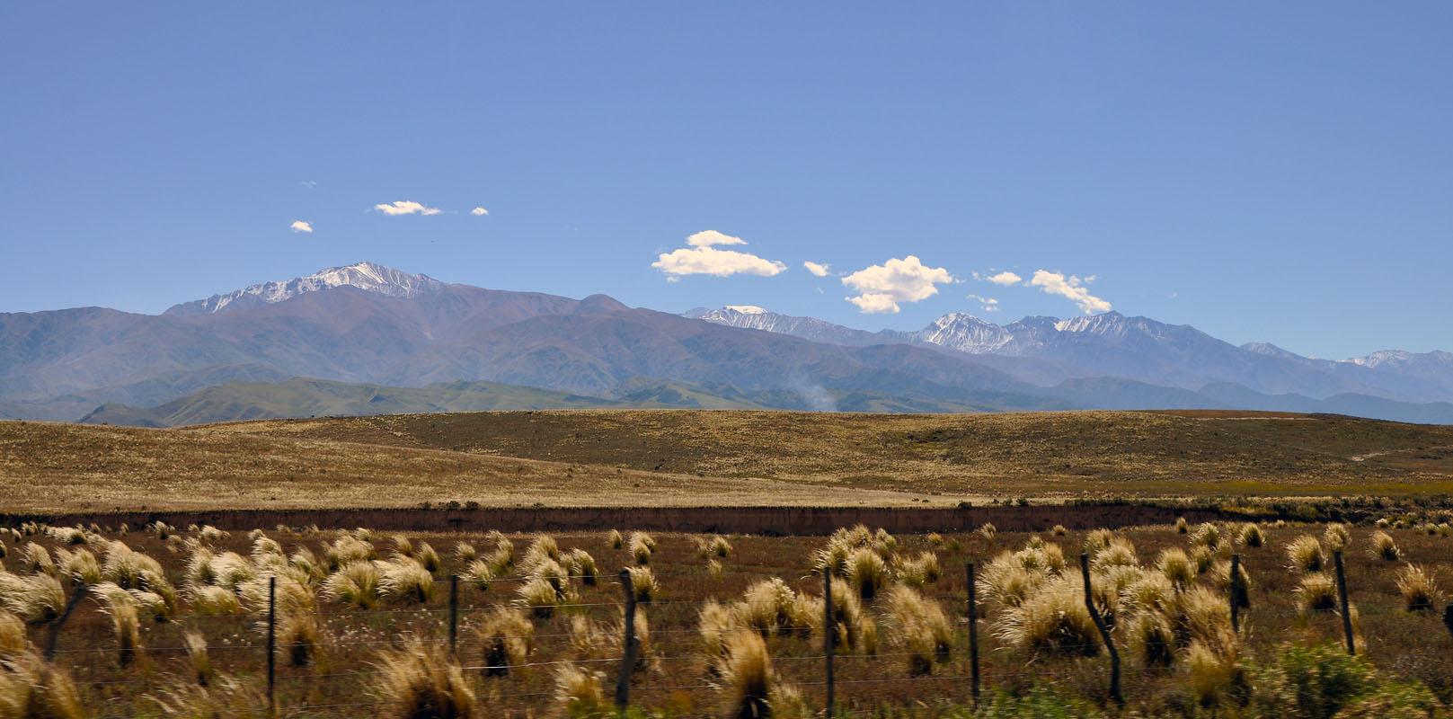
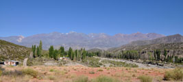
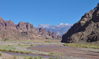
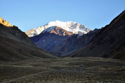
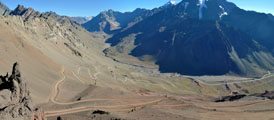
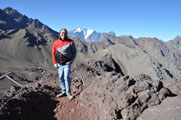
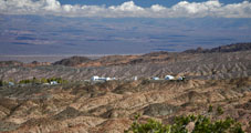
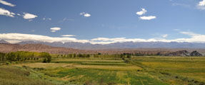
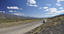
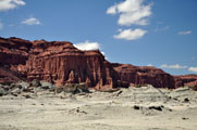
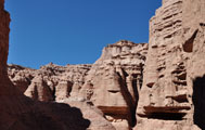
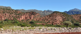
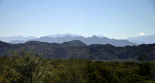
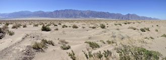
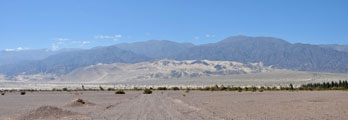
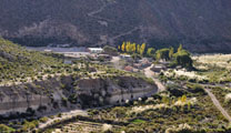
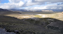
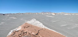
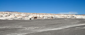
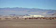
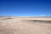
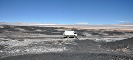
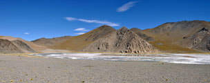
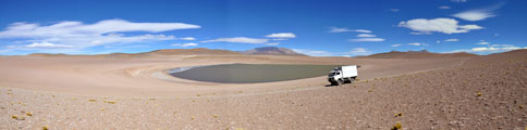
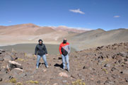
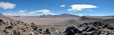
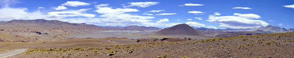
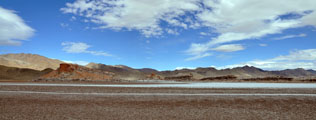
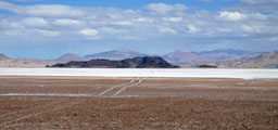
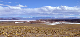
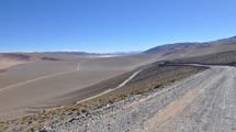
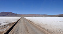
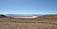
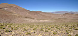
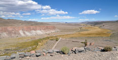
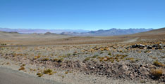
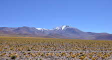
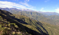
We reach the Pampa de Uspallata and the valley opens.
We get the first impression of the Andes .... impressive ....
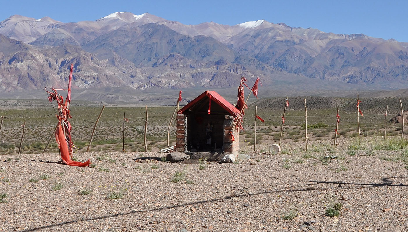
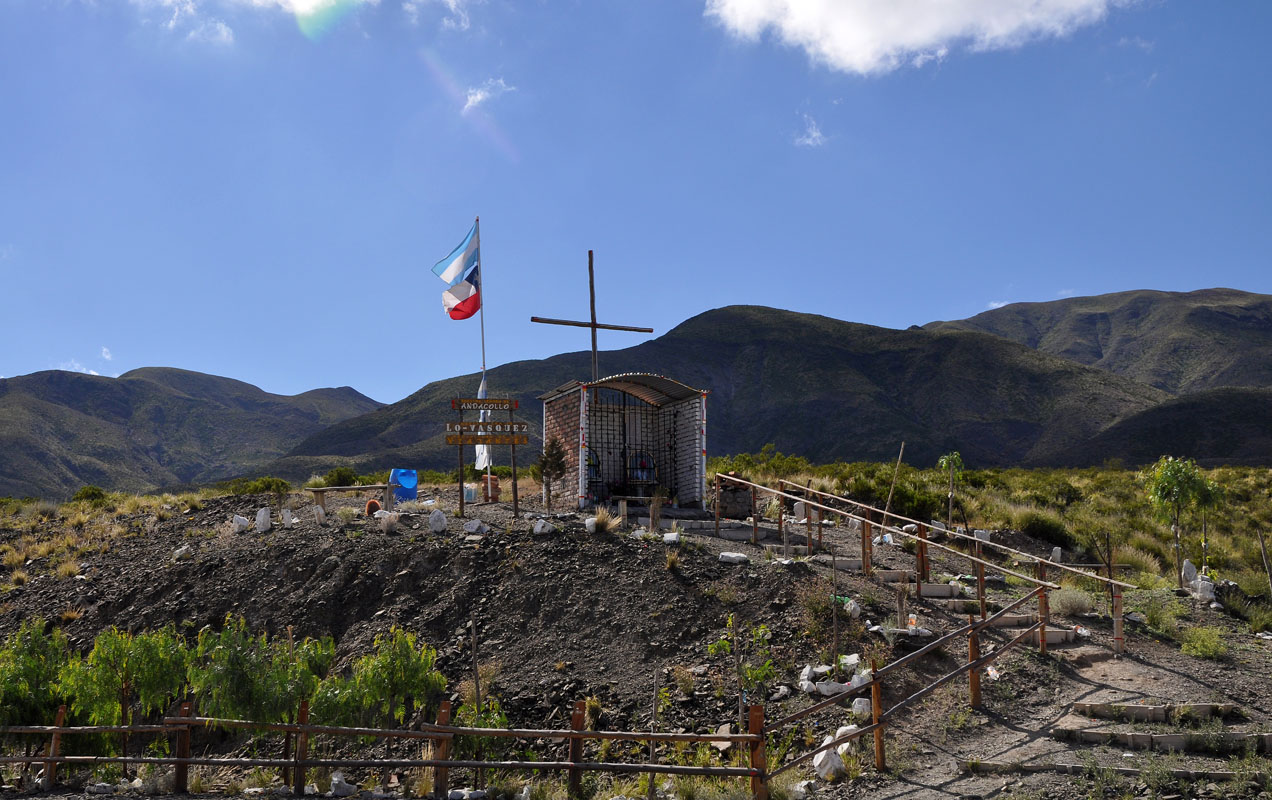
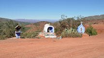
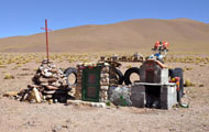
Ever since we had arrived into Argentina we had also seen red flags and small shrines along the road.
As we happened to stop near one Susi takes a closer look.
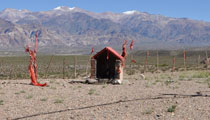
She finds "Gaucho Gil" in it.
Again we check the Internet and find this story:
This character actually existed and after his death, he became a saint for many Argentineans.
His real name was Antonio Mamerto Gil Núñez and was born near Mercedes, province of Corriente, in the 1830s.
In those times, the province had many political battles between the two political parties: the "red" and the "light blue" which sometimes ended in several casualties for both sides.
Gauchito Gil was thought to belong to the "red", that is why the red ribbons.
In 1850, when the two political parties were once again about to fight, Coronel Juan de La Cruz Salazar recruited several men to get prepared for the battles called Ifran and Cañada del tabaco.
All the men suitable to fight, Gauchito Gil among others, had to join him.
He refused to join the recruitment explaining that all men were brothers and they should not kill one another.
Salazar's men considered him a deserter and he was sentenced to death penalty (execution or hanging).
Since then, there are two versions of the story.
The first one says that he was sent to the city of Goya to be tried.
The second one says that the military men stole his belongings and he was sheltered by a gang of homeless who stole the rich to give to the poor.
Anyway, whatever the version is, Gauchito Gil was imprisoned.
He was tried and sentenced to death penalty.
Coronel Velazquez, who knew Gauchito, tried to interfere in his favour before Salazar to save his life.
The latter accepts to grant Velazquez's request but only if he could gather 20 signatures from notable people.
The legend says that on January 8, 1878 Gauchito Gil was hung in Goya by his feet when he shouted to the executioner sergeant: "Don't kill me! The pardon is on its way!"
The executioner answered: "You will not make it!"
And it was then when Gauchito added: "If you kill me, when the letter arrives you will be told that your son is dying because you have spread the blood of an innocent man, and you will have to pray for me so that I can convince God to save you son."
However, Gauchito Gil's throat was slut.
When the executioner sergeant was back in Mercedes, he found out about his son's disease and returned to Goya to put a cross in the place where he killed Gauchito Gil.
He started to pray and his son was saved.
Gauchito Gil legend was born!
The story went around the city and the surroundings.
Upon the arrival of so many visitors, Speroni, the owner of the field where Gauchito was buried, decided to move the cross together with the candles and the body to the cemetery.
Soon afterwards, he was seriously ill and promised Gauchito to rebuild a small sanctuary if he got over such disease.
Once again, the request was fulfilled and this first sanctuary still exists today and it can be visited in Mercedes.
On each January 8, his death anniversary is celebrated
If you drive near a sanctuary on the edge of the route, it is good to honk the horn that will bring good luck ensuring you a sound and safe arrival without delay.
On the other hand, the majority of Argentineans hang a red flag on the rear mirror.
They must have a valid reason!
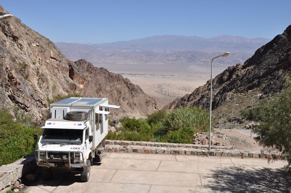
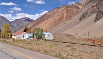
We reach Uspallata.
As we intend to go into the Andes and expect cold temperatures at one of the service stations we ask how they solve this problem.
We are sold EuroDiesel and also an anti-gelling additive.
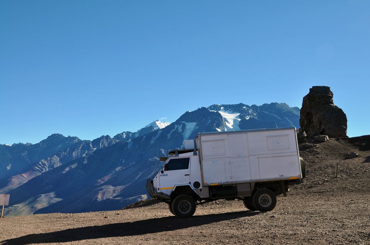
Now we are set and wonder how the OKA will behave ...
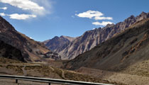

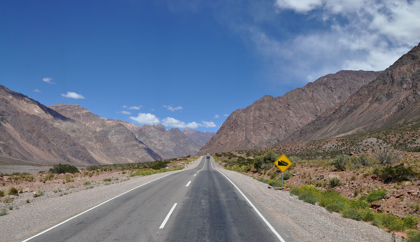
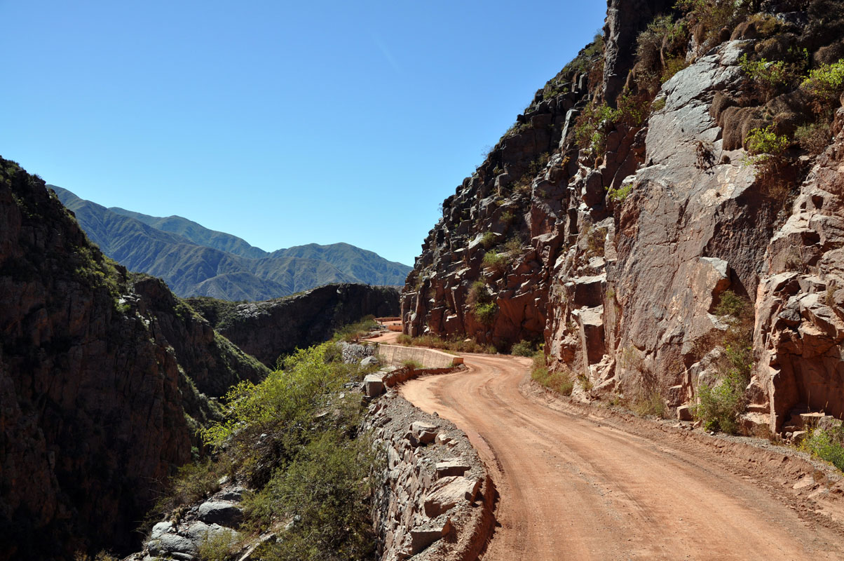
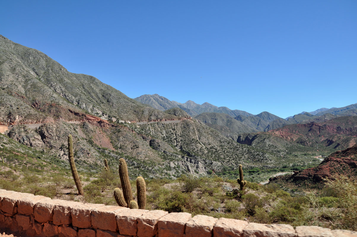
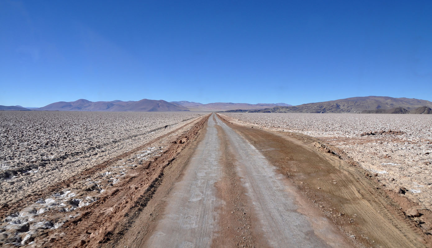
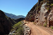
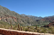
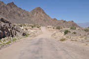
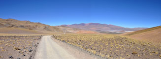
We turn west and follow the RN 7.
The road is the direct connection to Chile and Santiago de Chile.
It is in pretty good shape.
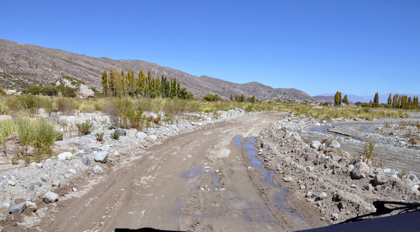
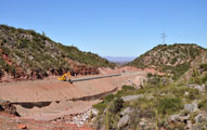
But every so often a creek has washed gravel over the road.
It has been cleaned away but it is obvious that this road requires a lot of maintenance.

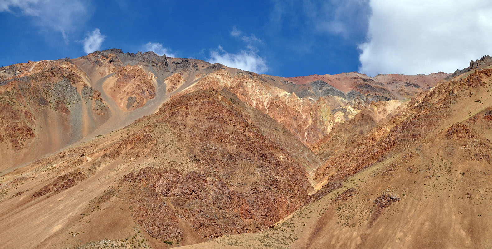
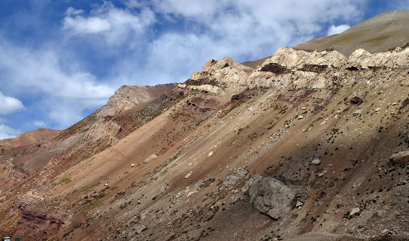
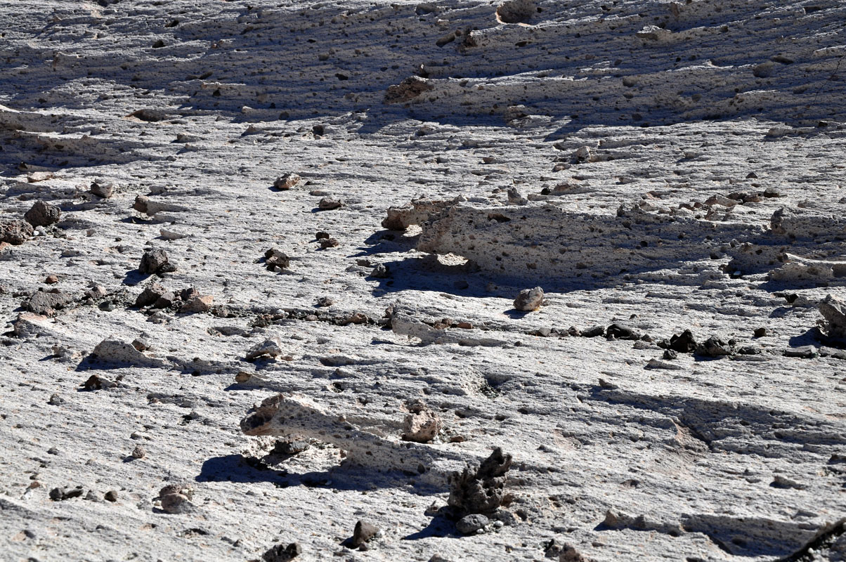
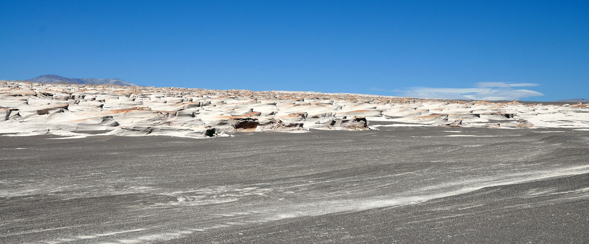
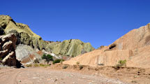
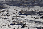
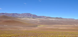
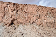
The material the Andes are built off is not stable at all.
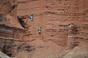
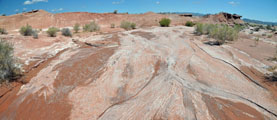
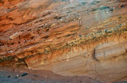
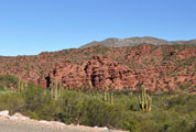
The erosion is very visible.
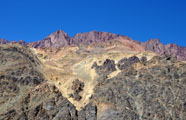

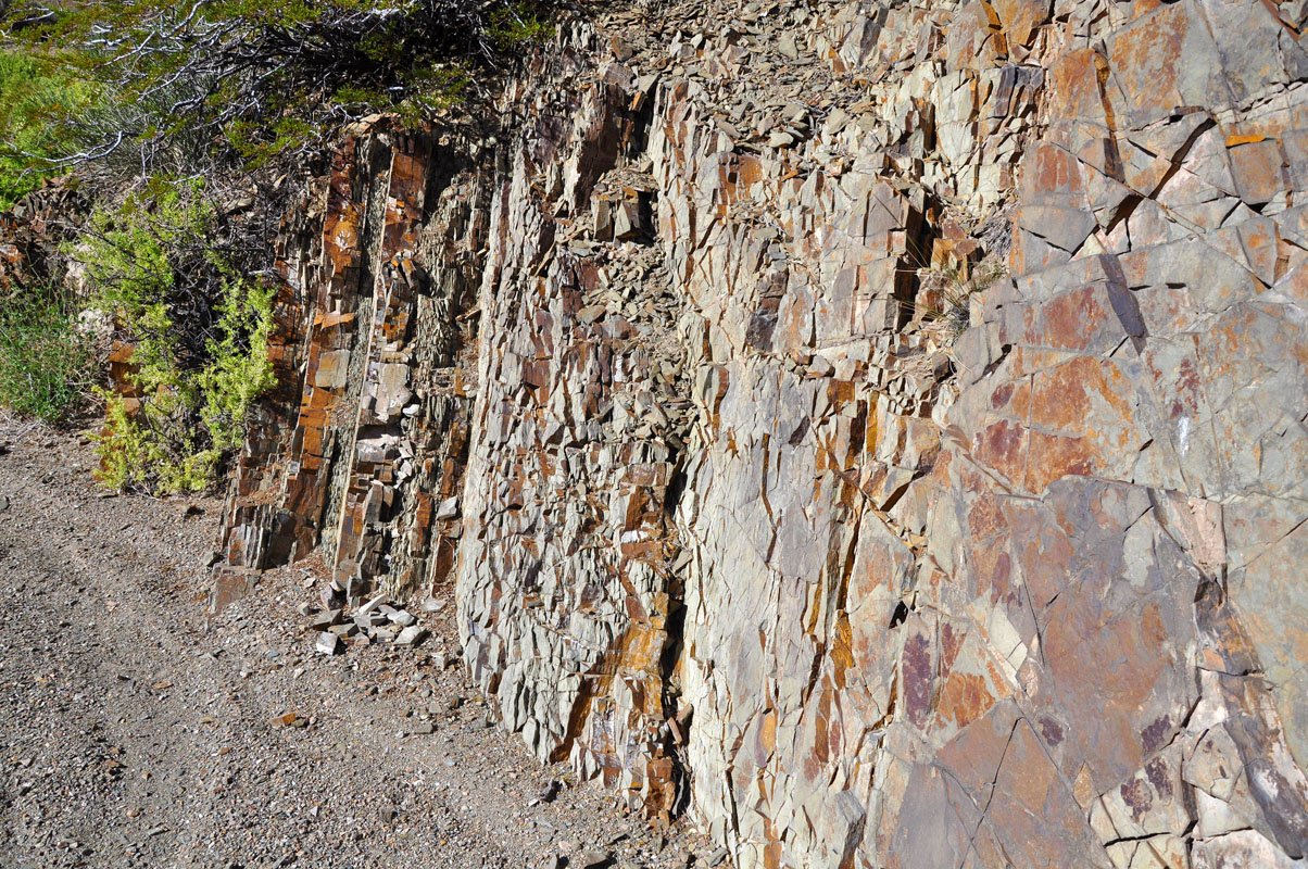
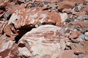
The different layers of the rocks and sediments show again with all their colours.
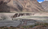
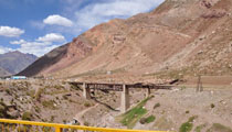
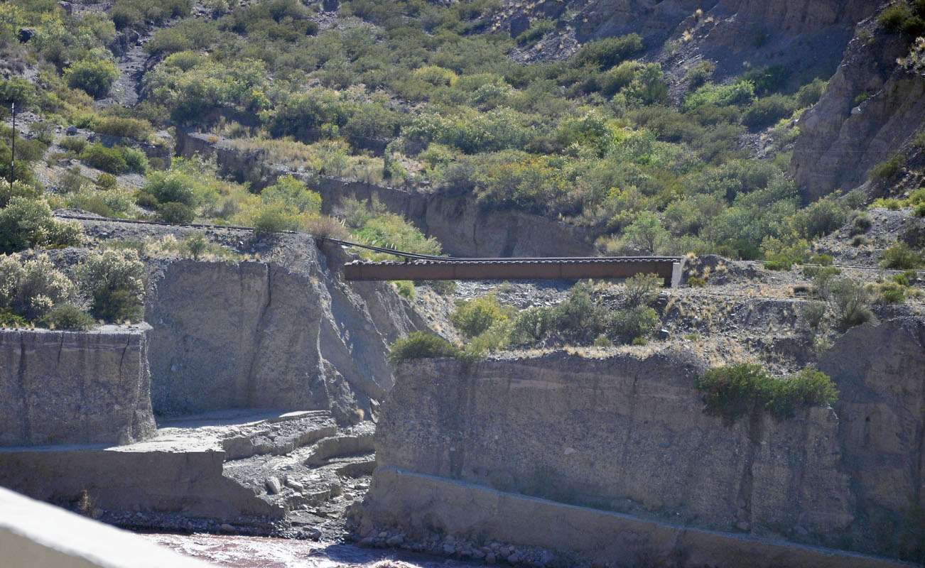
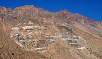
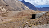
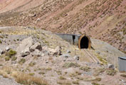
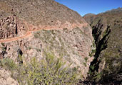
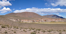
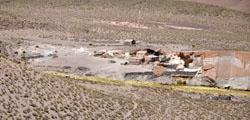
the train is out of service for quite some time already but the train tracks and bridges are still pretty much there and in good condition ..... with a few exceptions ....
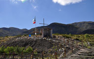
Some station houses are still there.
One in particular has been turned into a museum with the good name "Mundo perdido" .... lost world ....
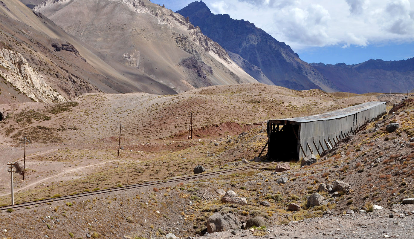
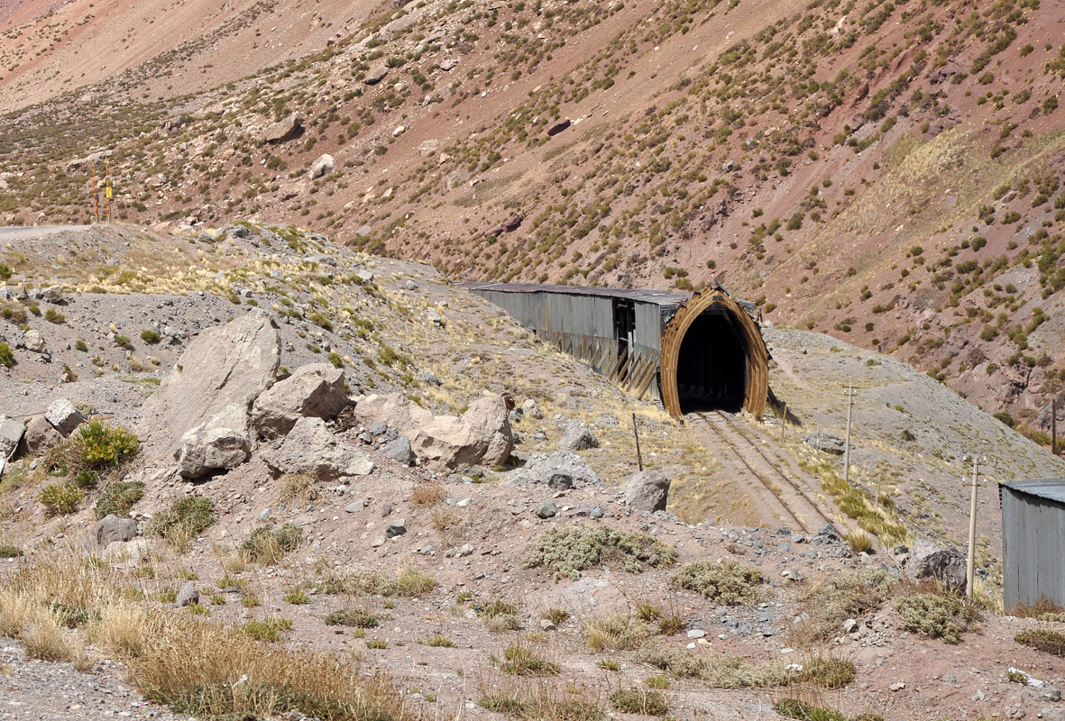
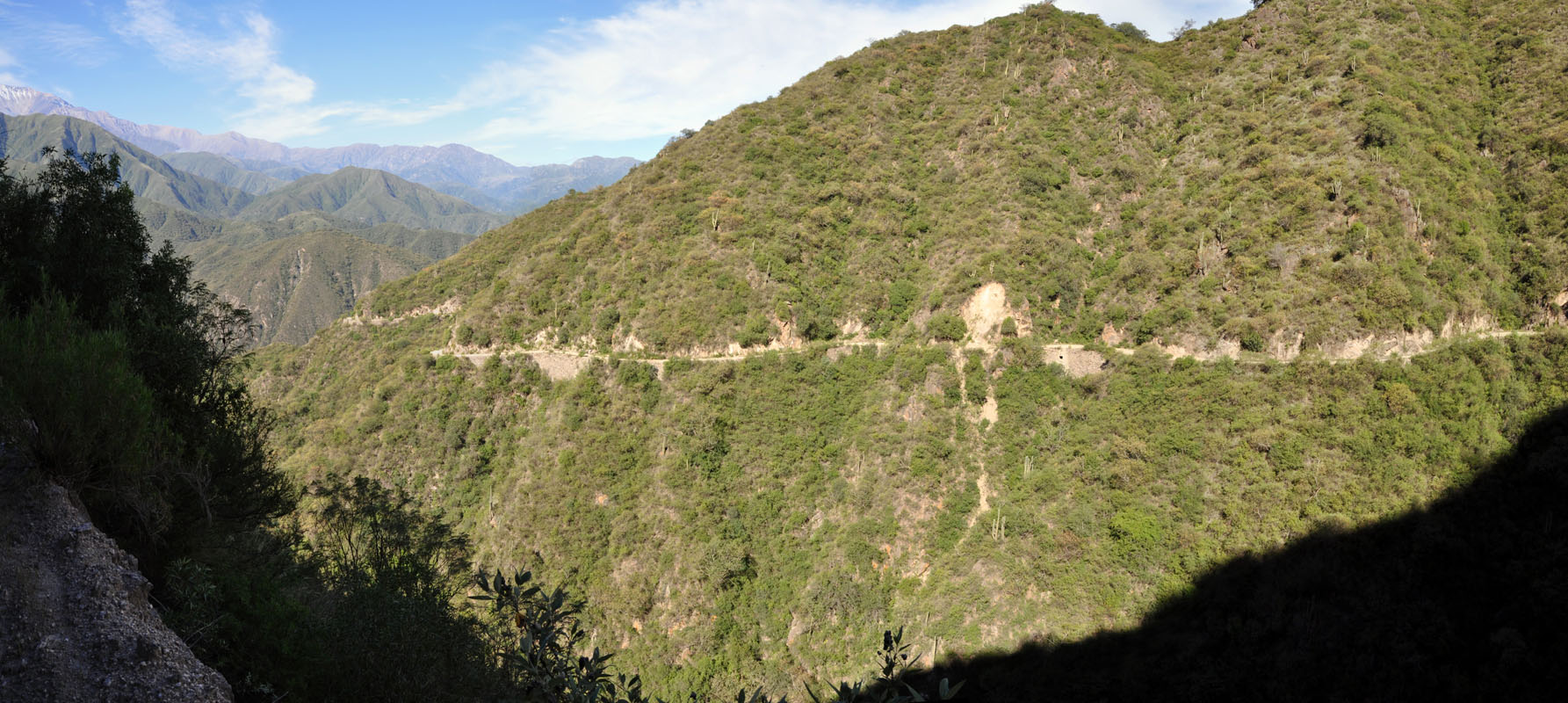
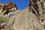
Further up in the mountains the train tracks have been placed in tunnels to protect them against the rock fall and in winter also against the snow.

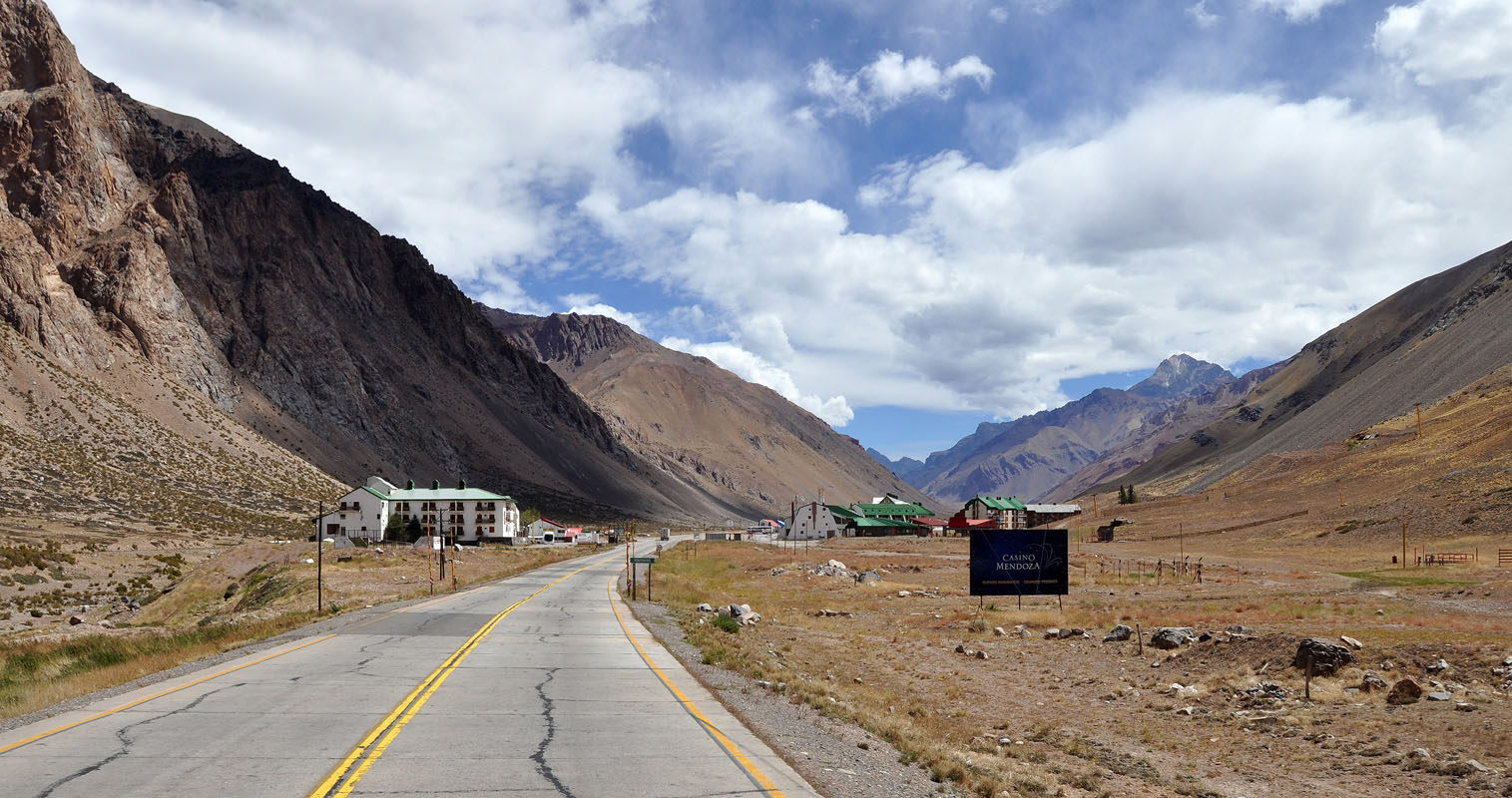
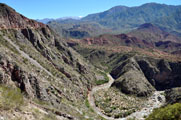
We pass Penintentes, a ski resort.
They even have ski lifts .... we are a bit amused ....
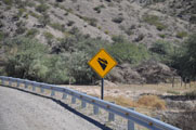
But they must have snow in winter as along the road we can see warning signs that the road gets slippery when there is snow or ice.
Also there are pols along the road where the height of the snow can be seen.

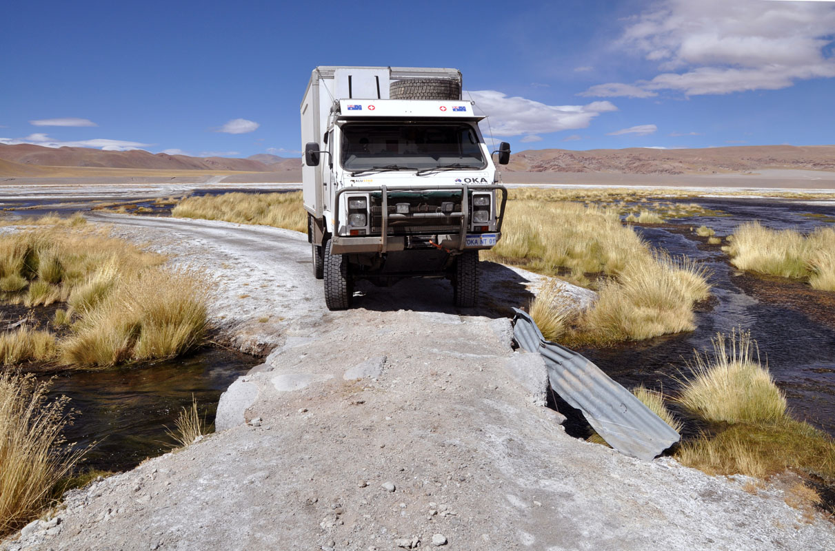
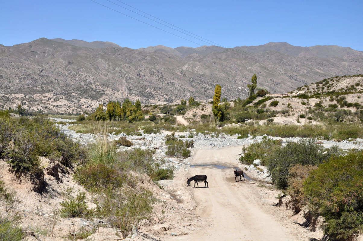
There are people living up here ... small wooden bridges cross the River Mendoza.
But we wonder what they live off .... the mountains are bare ....
We look for natural bridge El Puente del Inca but cannot find it.
But maybe it is because in the small town where it should be we are distracted by a construction site.
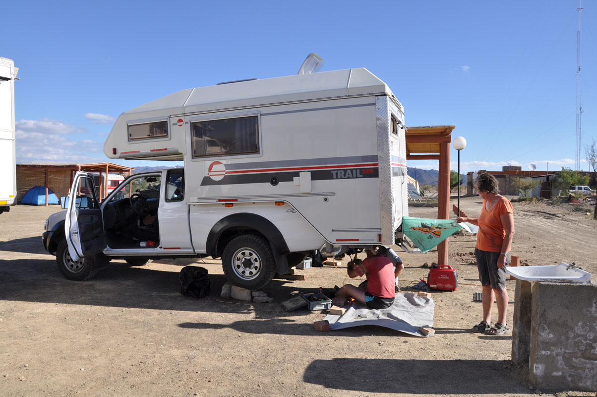
We line up as ordered but when the flag man gives the sign to drive the OKAs motor doesn't start!
Quickly we put the hazard lights on and signal the other cars to drive past us.
Once the road is free behind us we let the OKA roll backwards off the road.
What now?
We have no clue.
So Ruedi just takes the key out and goes throw the full starting procedure .... and the OKA starts without a problem ....
Hmmmmmm .... very unpleasant as we don't know what has caused this hick-up ....
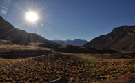
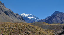
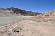
We continue on driving and reach the Parque Provincial Aconcagua.
As it has a campsite we decide to stay for the night.
It is only a parking where the people that hike the Aconcagua leave their vehicles during their absence but it is flat and away from the main road.
We have by now reached 2'946 m above sea level and Susi has a small headache signalling that she needs to adjust to the height.
We settle in and get the computers out.
But Ruedi's PC does not start.
Could it be because of the height?
We don't know.
As soon as the sun sets the temperature drops.
By 6 o'clock it has already dropped from the 20 °C we had during the day to just 6 °C.
This could turn out to be a cold night.
But the heater works perfectly and keeps us comfortably warm.
To save energy we close the window hatches.
During the night we wake up twice because somebody is "checking if the doors are closed" .... so we open the hatches again so it is obvious that somebody is sleeping in the vehicle ......
This is the first time we have had somebody trying to break into the OKA since we are travelling.
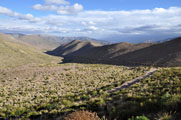
On Tuesday morning Susi's headache is gone and she wants to see the Aconcagua.

There is a small hike that can be done.
Susi comes past the "Laguna del Espejo" (the mirror lake) but the water in it is frozen ... so there will be no beautiful pictures of the Aconcagua mirroring in the lake ....
This also means that the temperature must have dropped below freezing point over night.
We wonder if the anti-gelling additive in the diesel has done its job ...
After preheating the engine the OKA starts without a problem ..... yes, this seems to work.
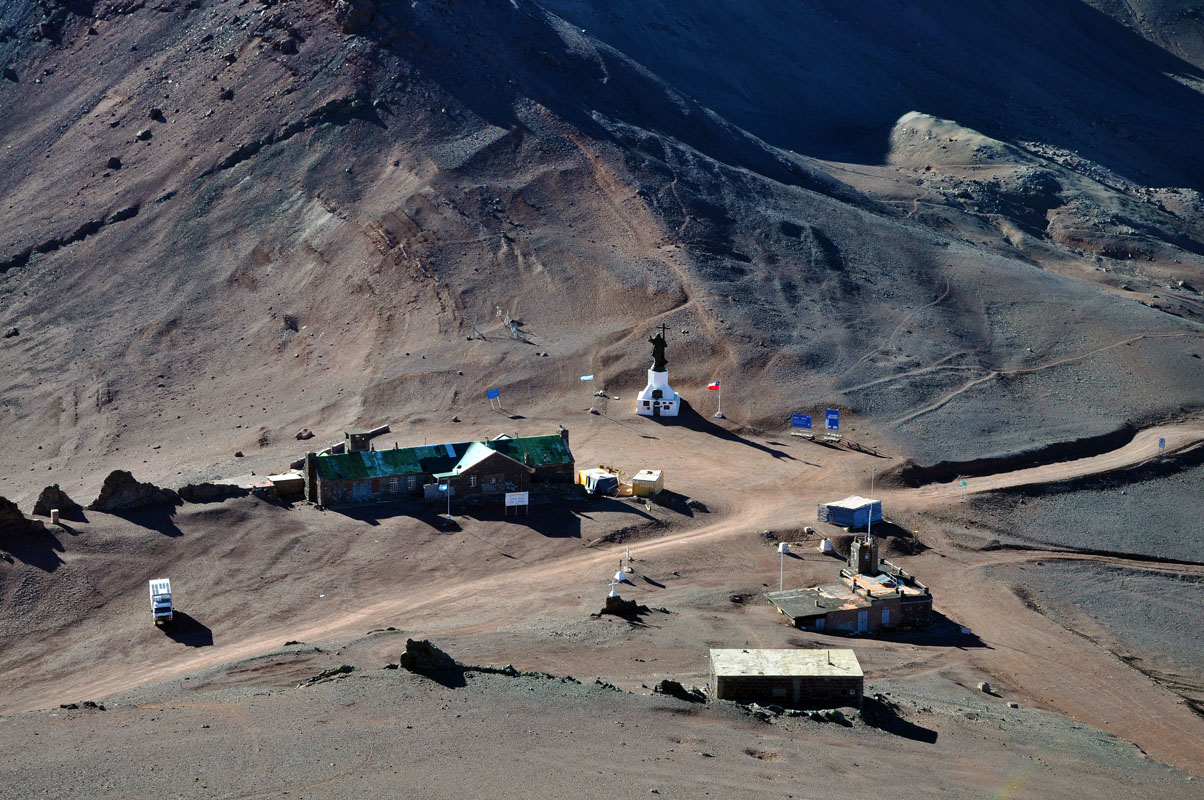
Quickly we pack up and head further towards the Chilean border.
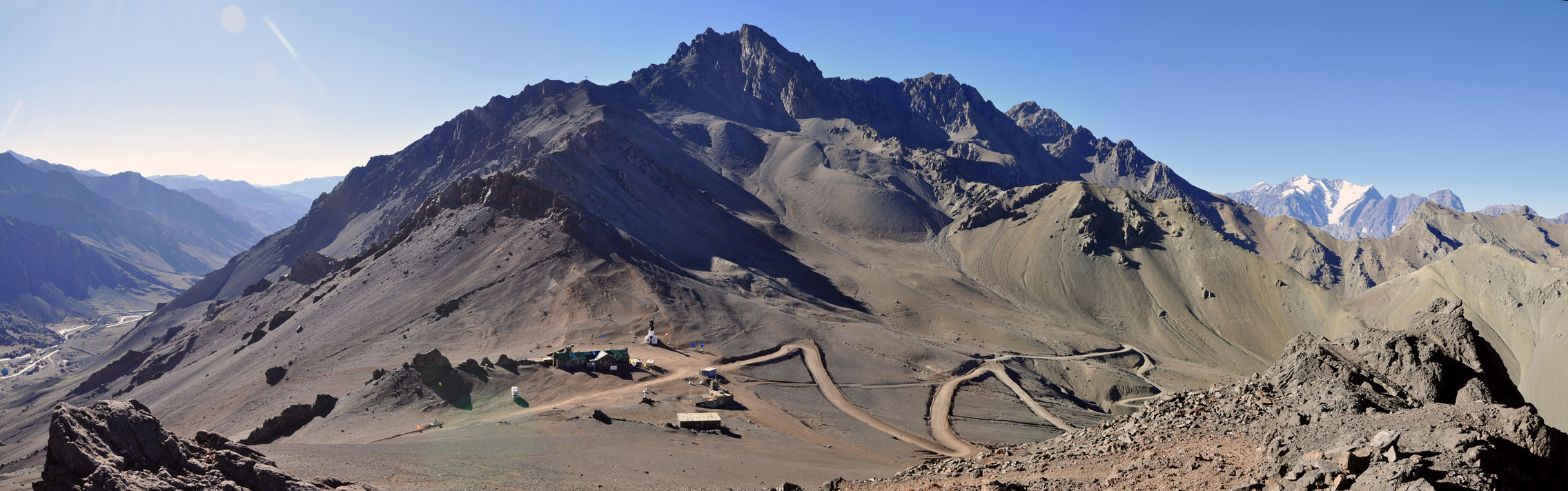
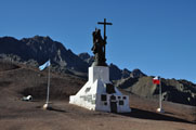
We want to visit the Cristo Redentor, a large statue that was built on the border between Chile and Argentina as a reminder of the last peace treaty.
To get there the OKA will have to climb uphill from 3'154 m to 3'815 m above sea level on a small and steep track.
As we don't know how the OKA will perform in such heights we want to be there before other tourists also get there.
The OKA is still cold and has no power.
Ruedi is a bit worried about the performance.
We continue on for a few km more until we reach the Argentinian border guards.
From here the small track leaves uphill to Cristo Redentor.
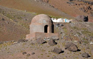
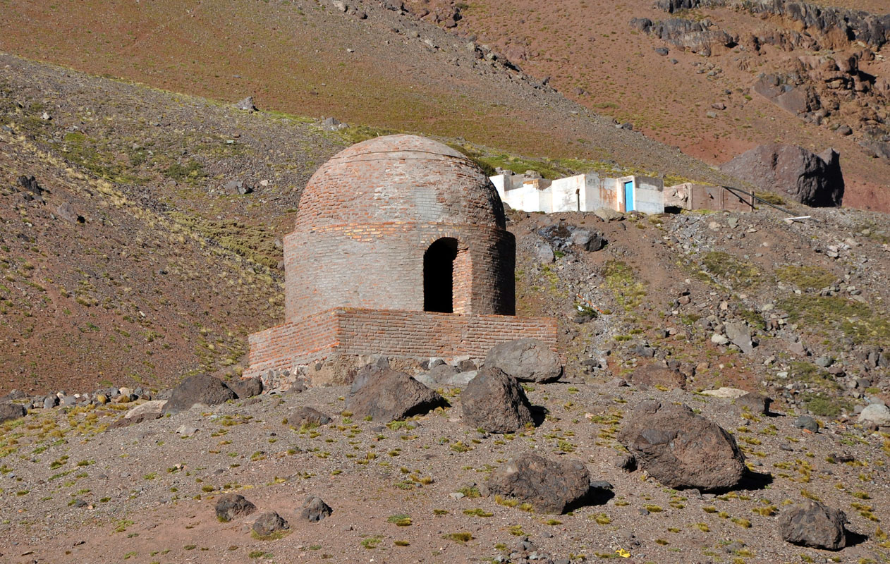
We come past a small stone hut that used to belong to a chain of shelters for travellers, messengers and post men.
The sign says that Ambrosio O'Higgins had them built in the XVIII century.
They were scattered along the Royal Road and four of them in Argentina's Andean mountains.
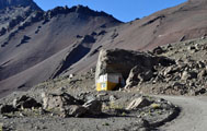
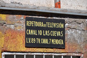
On the way up we also come past a repeater station for Television.
By the way it is squashed underneath the rock. The weather up here can be quite fierce.
The track winds its way uphill curve after curve until we reach the old border crossing where the statue is.
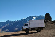
The OKA climbs uphill, slowly but without a problem.
So the fuel and the additive must be working ... we are very pleased to see that.


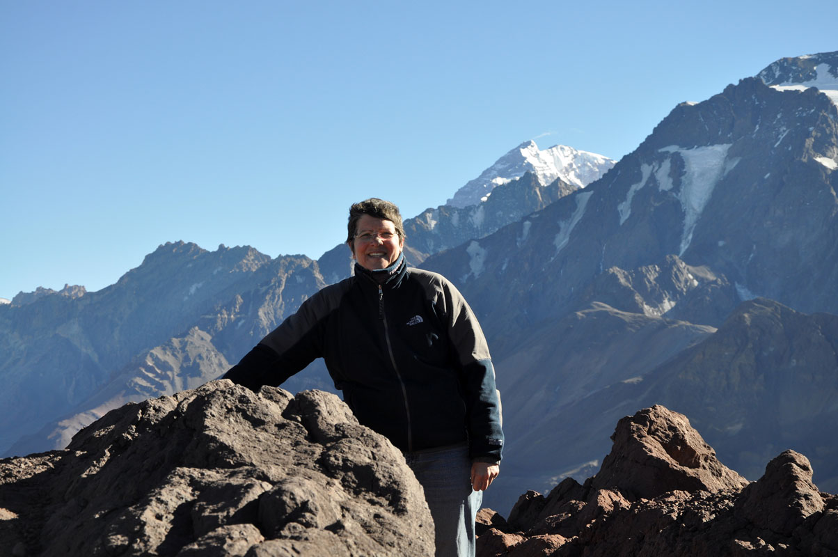
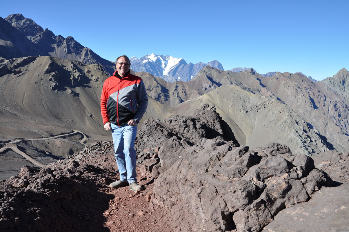
We climb uphill to get the best view of all.
It is hard work as the lungs get less oxygen at these heights than further down.
But being Swiss we are like goats and where we can we have to climb on top of the hills.
Then it is time to head down again. We can see cars coming uphill and we want to avoid having to cross too many on the way down.
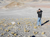
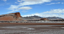
We decide to drive back into the valley and look for the Puente del Inca again.
It is not really difficult to find it .... if one looks properly ..... just stop where the busses stop!
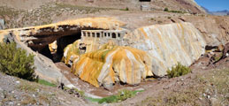
We find a good explanation of what it is..
Here some extracts:
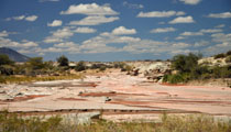
The coating of the bridge is composed of minerals and algal crusts.
The salts dissolved in the hot springs (temperatures ranging from 93° to 100° F) are necessarily associated to its formation and durability.
They have a high concentration of dissolved salts (16 grams /litre) and carbon dioxide (C02).
The gradual release of this gas leads to the precipitation of salts on the surfaces where the water flows.
Thus, the places and objects that are in contact with water over a long time are covered by yellowish crusts consisting of a mixture of iron oxide and calcium carbonate.
The springs' temperature is attributed to the heat existing in the subsoil.
In this region, there are several faults - fractured and permeable bands - where rainwater and melting snow infiltrate up to a great depth and become hot.
The high pressure at said depth returns the waters to the surface along other faults, such as the one that crosses this area (Penitentes fault).
So it was not built by the Incas ..... but it still looks nice.
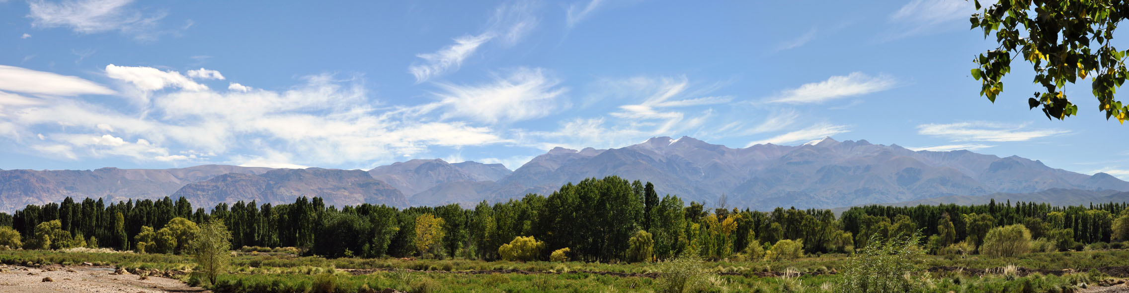
We drive down to Uspallata where we settle down in the Camping Municipal.


We park the OKA at the back fence and have a great view of the Andes.
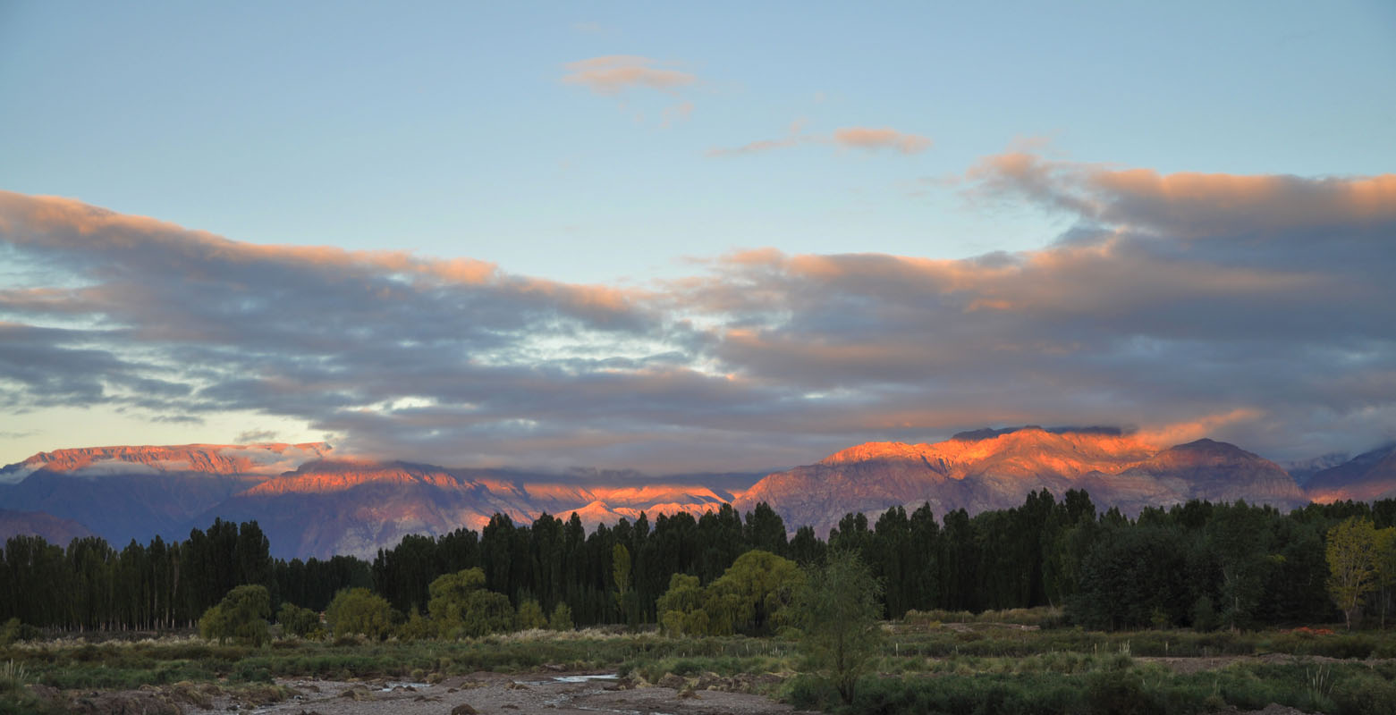
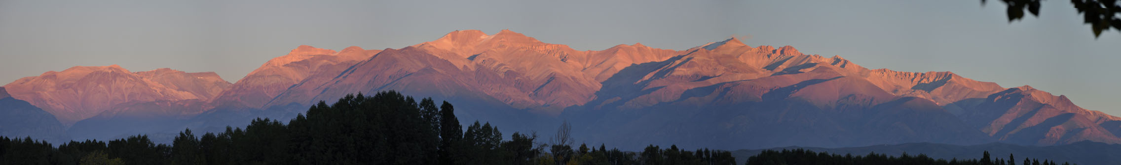
For the next few days we are busy with web-update, laundry, fixing of Ruedi's computer, talking to other Australian tourists ....

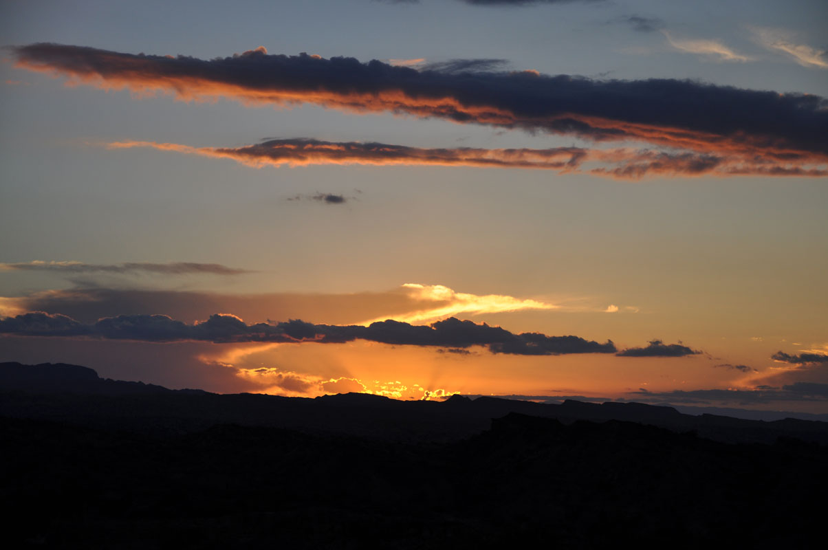
... and watching the sunrise and sunsets ...
We also keep a close eye on the developments regarding the possible Argentinian bankruptcy but luckily nothing serious happens there.
The days pass with nice day temperatures around the 24 °C mark and fresh nights with less than 10 °C.
We have great weather in Uspallata but hear that in Mendoza they had some hefty storms with lots of rain.
Maybe it has to do with that Uspallata is located between two chains of mountains at almost 2'000 m above sea level.
Whatever ... we don't mind.
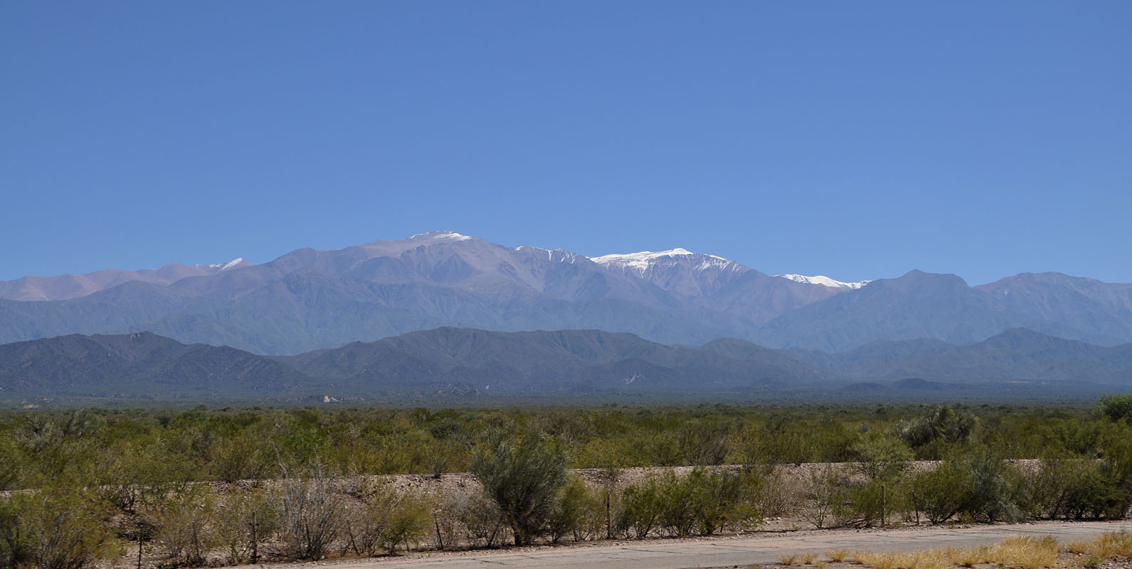
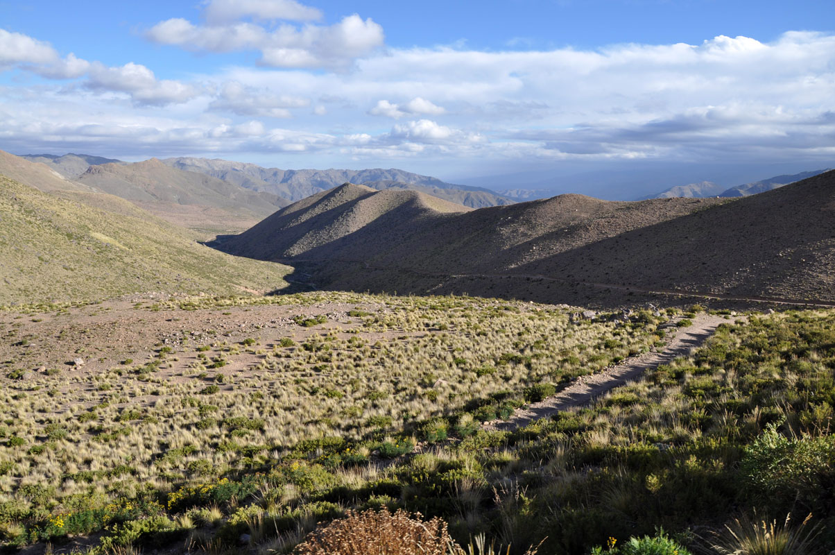
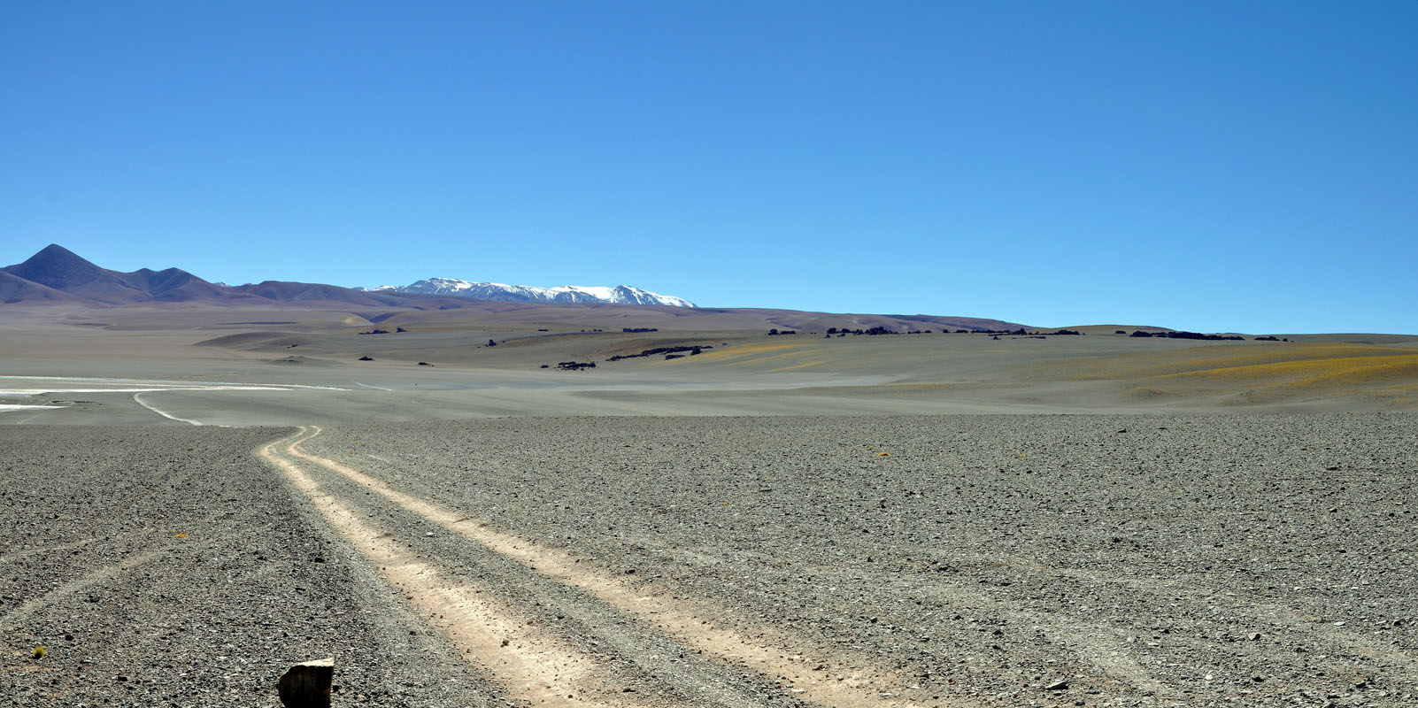
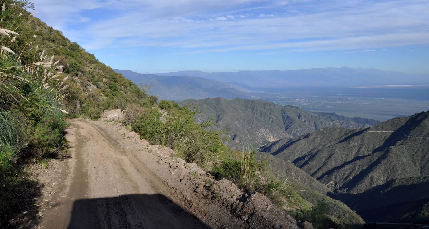
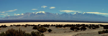
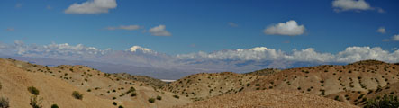
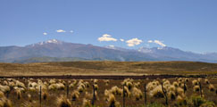
On Sunday, March 17, after a cold night with just 3.5°C we leave Uspallata in northerly direction on the Ruta Nacional 7 then turn off to the RN 149.
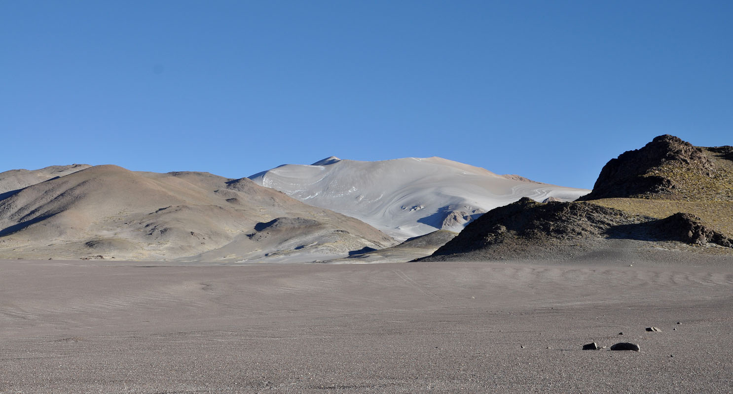
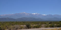
We drive along the pretty snow-capped Andes.

It is a sunny day but the high peaks are covered in clouds which change constantly.
There must be quite some wind up there ....
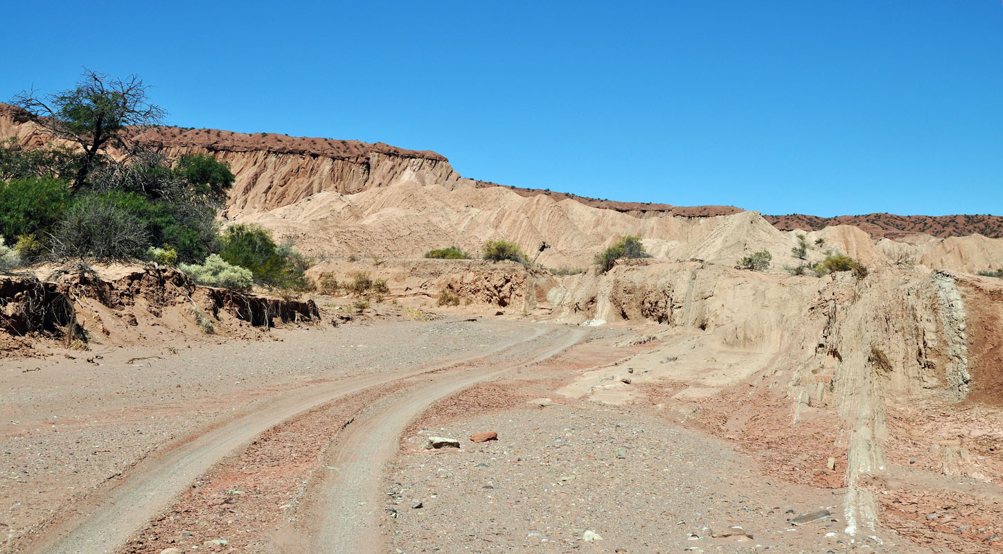
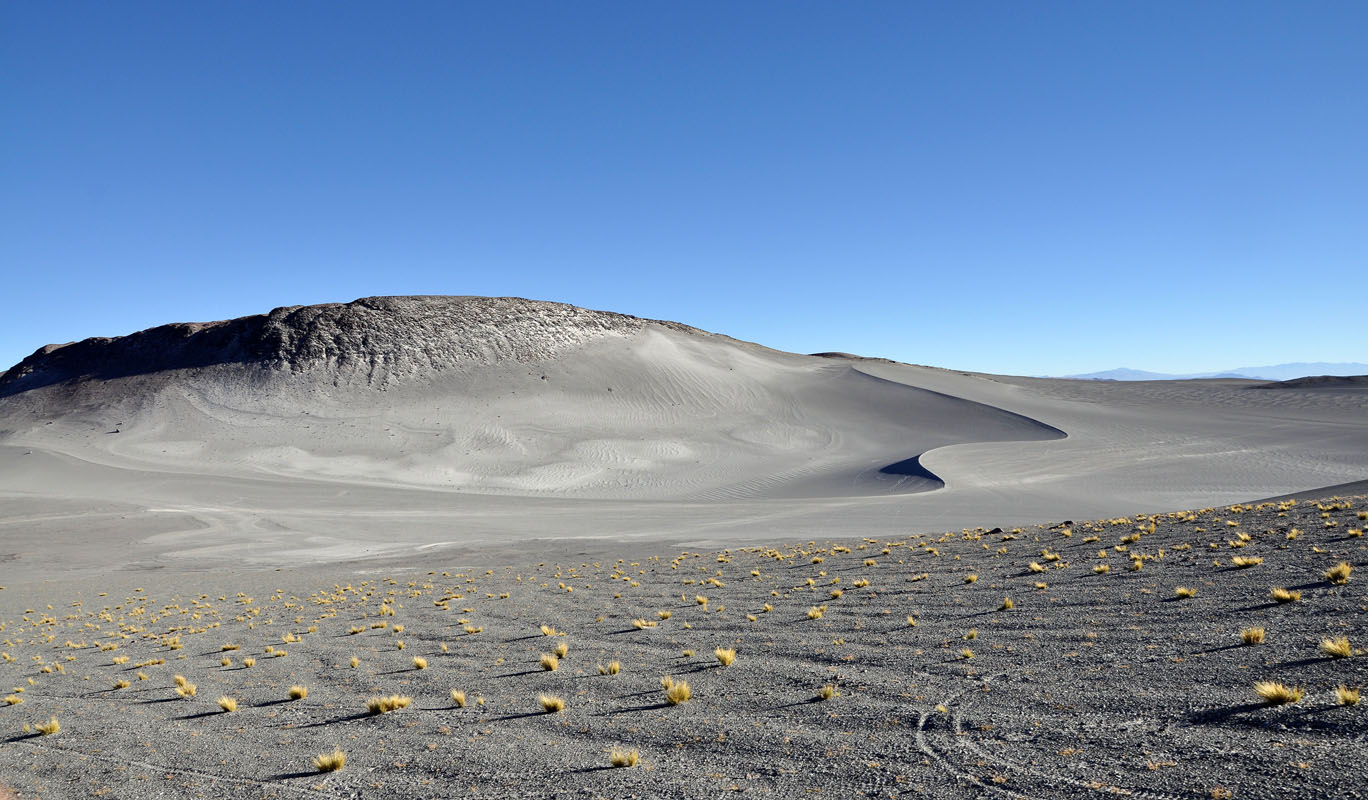
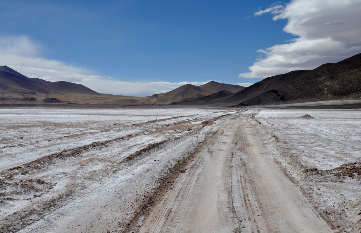
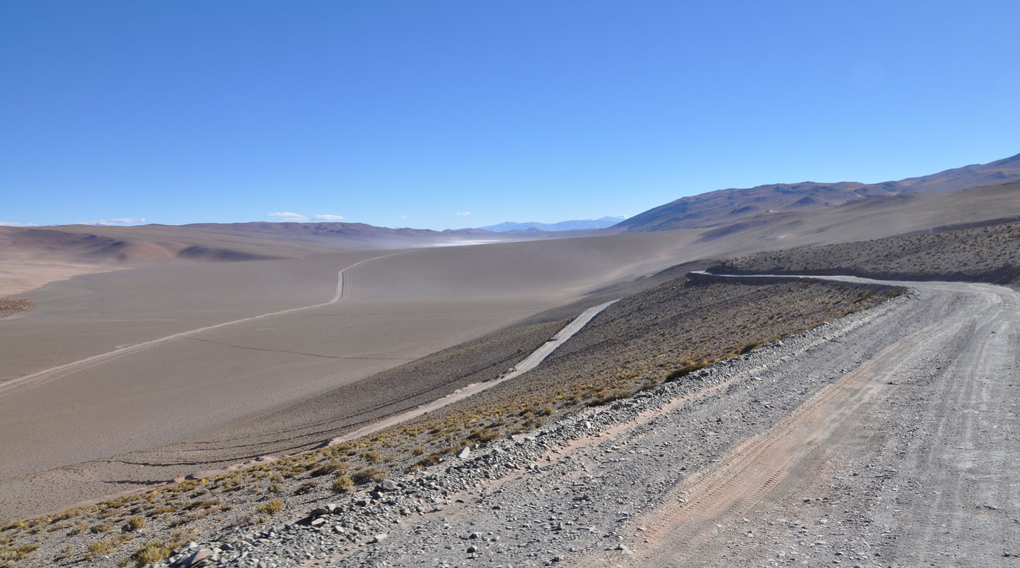
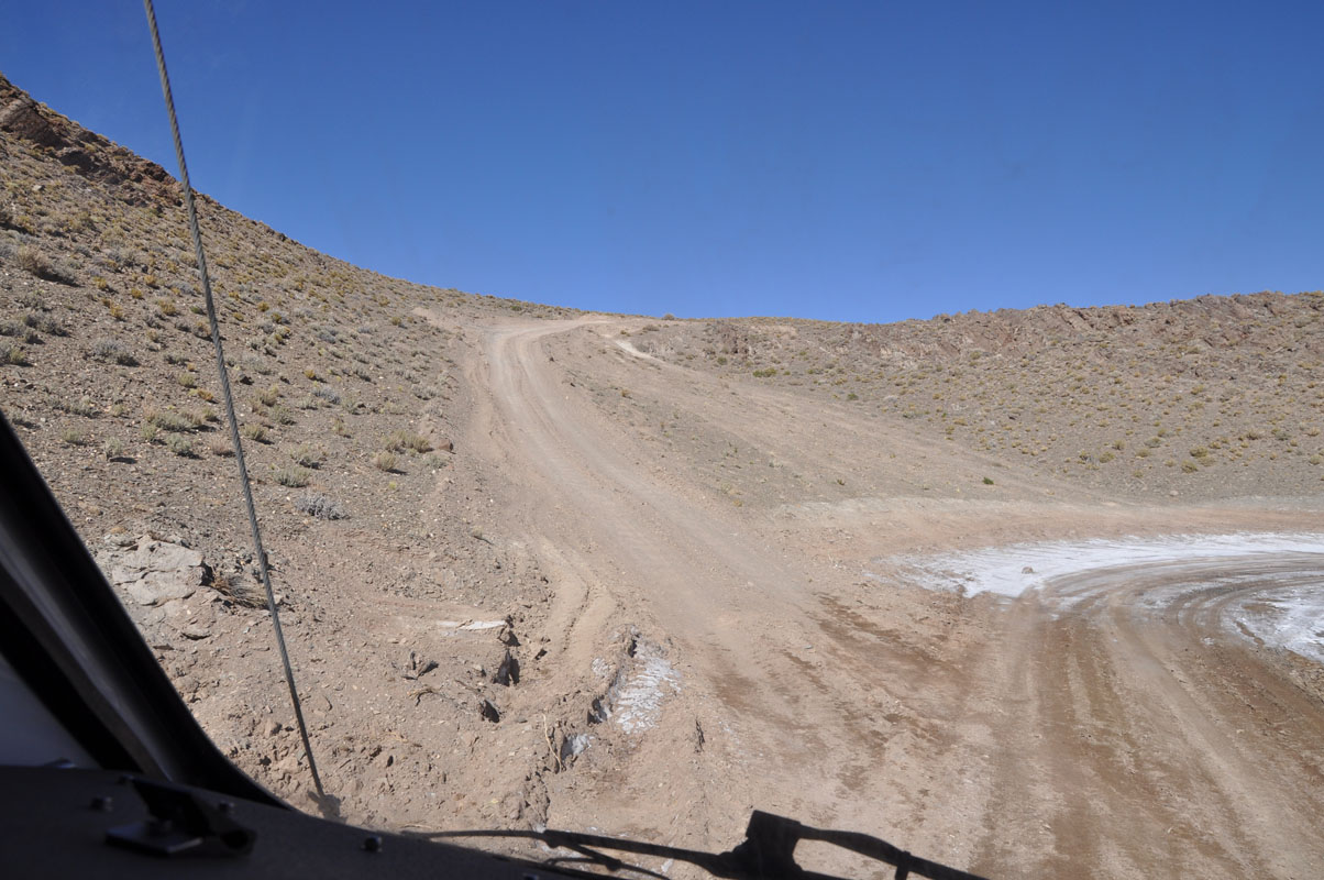
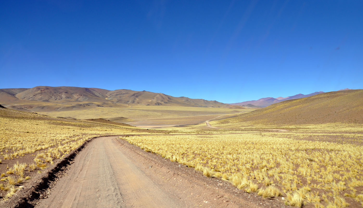
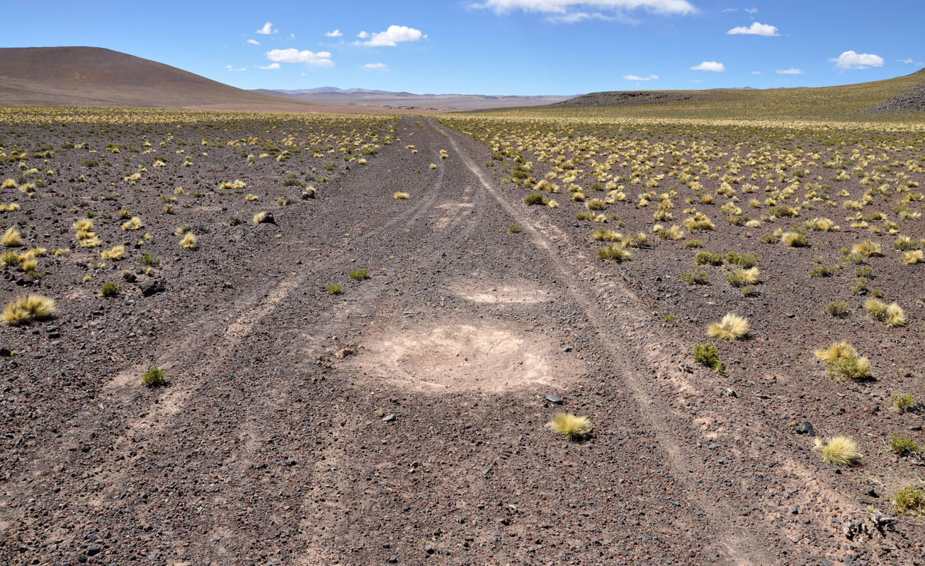
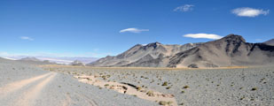
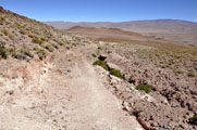
Soon after Uspallata RN 149 becomes a well-maintained dirt road.
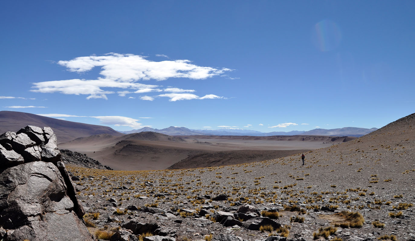
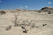
The valley is desert-like.
There are no trees just scrub covers the sandy ground.
If there are trees they are watered .... or they die .....
At the border of the Mendoza and the San Juan state the road becomes bitumen again.
It must be a new road and they are still working on it.
By lunch time the temperature has reached 23 °C.
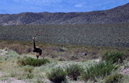
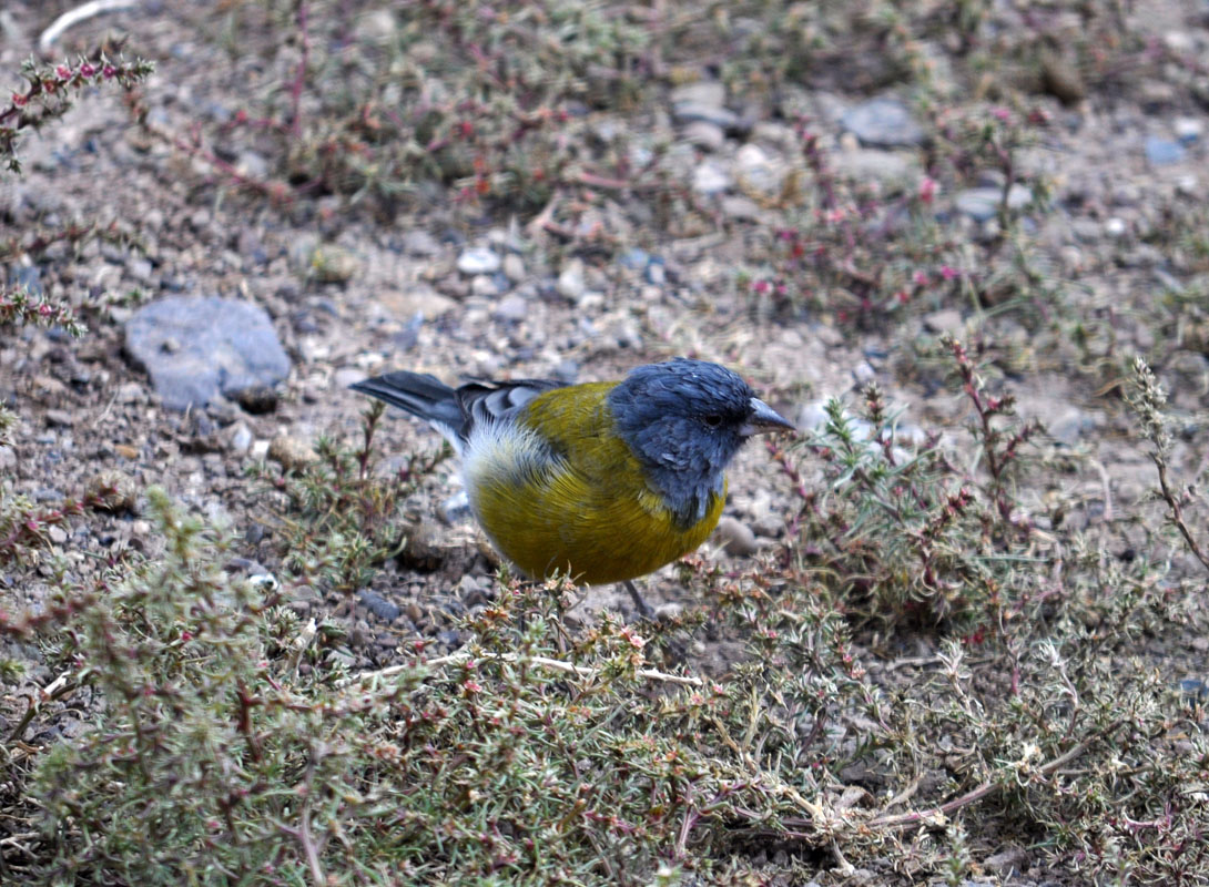
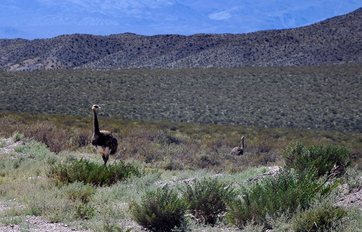
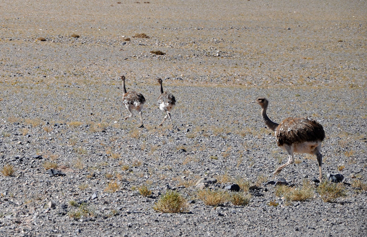
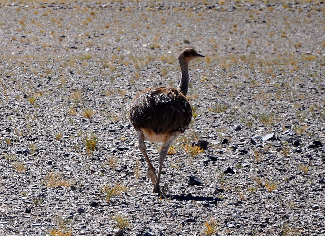
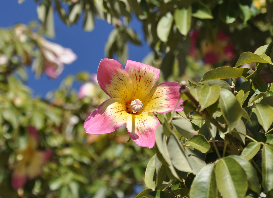
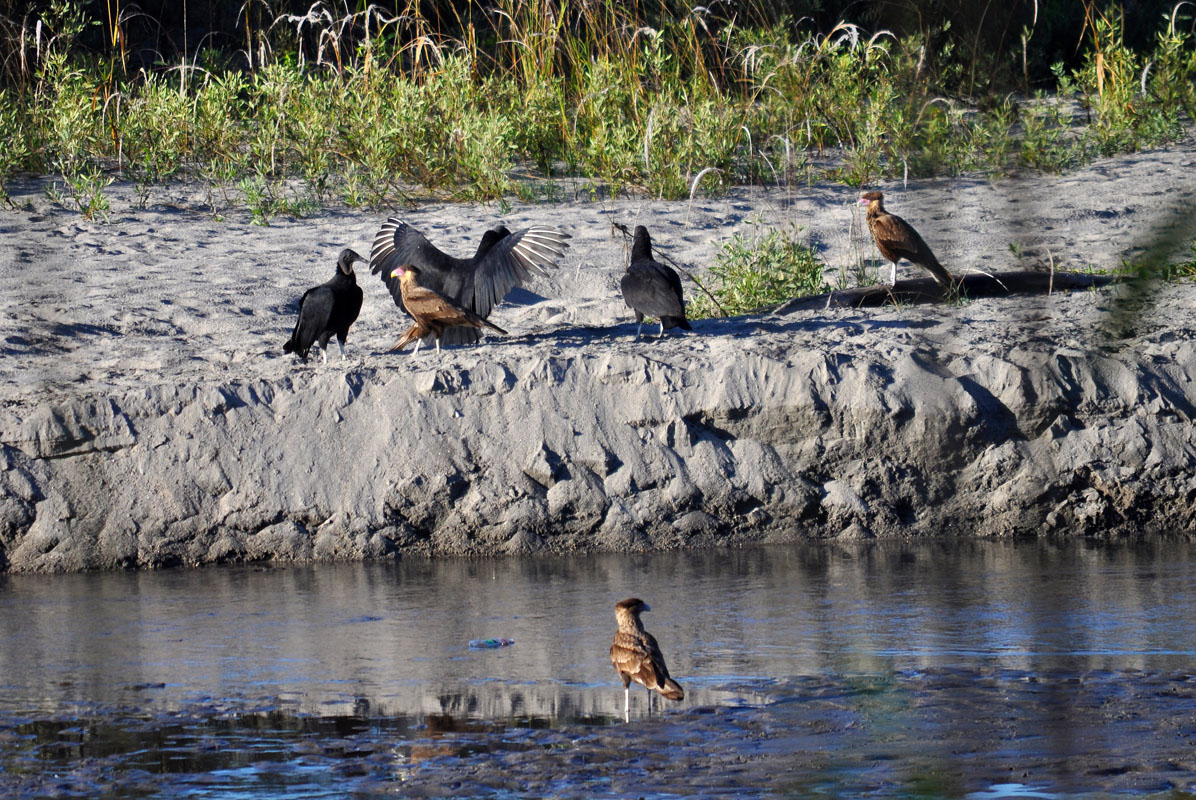
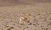
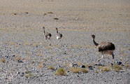
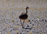
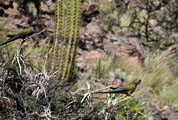
On the side of the road we spot a Suri Cordillerano or ñandú de Darwin (Pterocnemia pennata). The bird is similar to the emu and also has the same behaviours as emus have: the female lays the eggs, the male raises the chicks.
Sadly the bird is very shy and runs away .... sorry, just a lousy photo .....
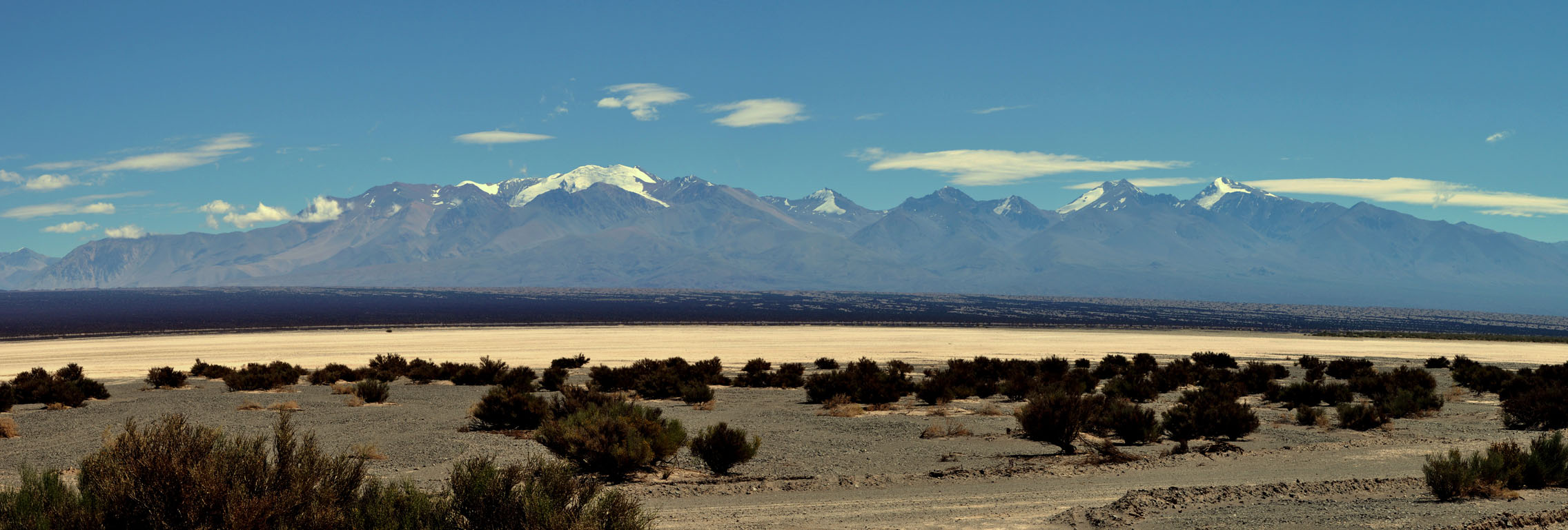
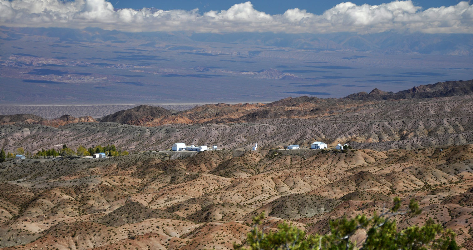
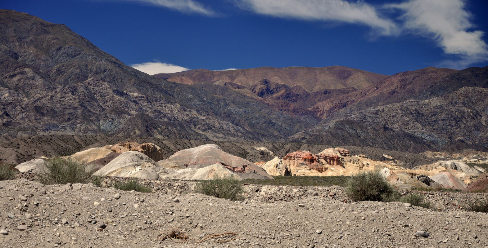
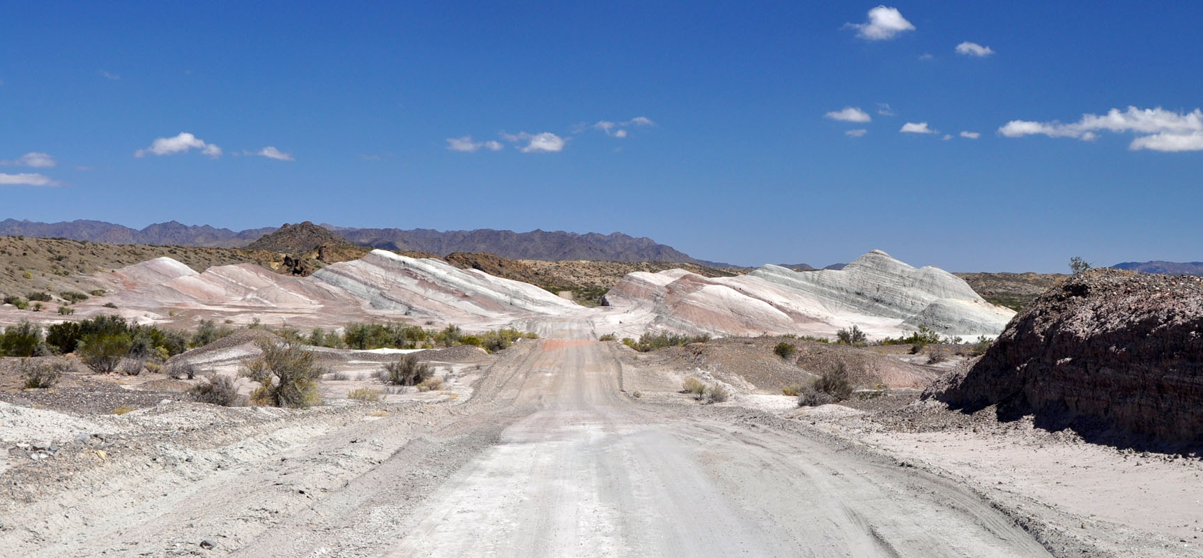
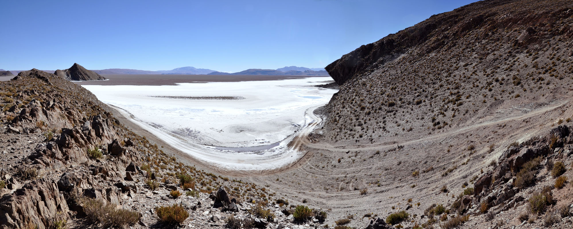
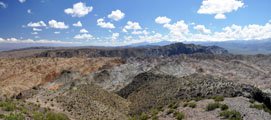
Then we reach the entry to the Parque Nacional El Leoncito.
At the first mirador(lookout) there is a very pretty view of the mountains.
One of the highest peaks is the "Mercedario" and with its 6'770m above sea level one of the higher peaks in Argentina ... but don't ask me which one it is ....
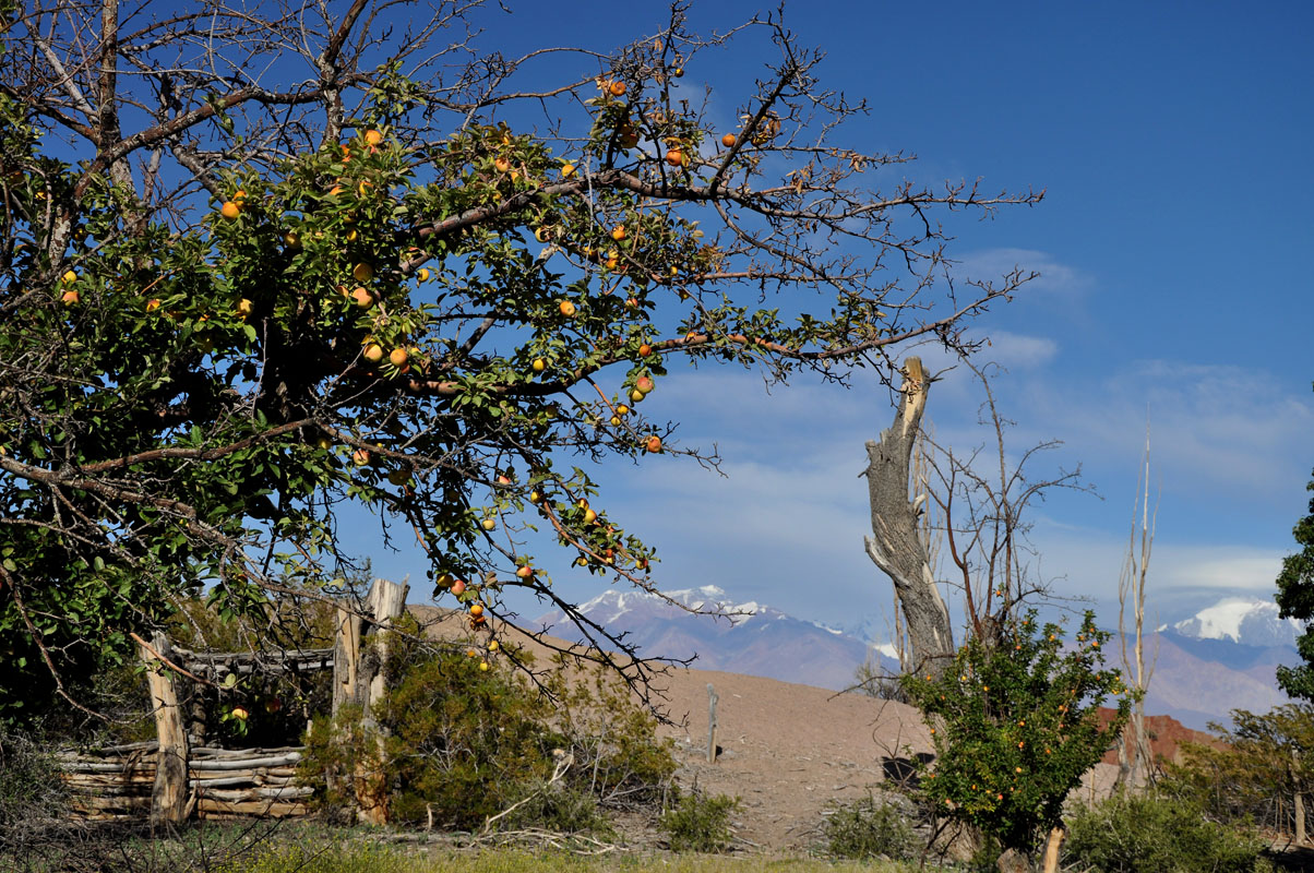
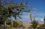
Just beside the mirador (hence its name "Manzanar" ...) is an abandoned fruit orchard with ripe apples and pears.
We collect some of the fruits that have fallen down.
The ranger later on tells us that they are free to take.
So on the way out we will get lots of the good ones off the trees!
We are surprised to hear that the park and the camping are free.
We settle down at the camp site.
Beside us there is just one young couple with a tent.
The camp is well equipped with water, shady picnic area, a large parrilla grill, even a washbasin to do the dishes.
We have a quiet afternoon and evening.
On Monday again it is rather fresh with only 5 °C.
As we are at 2'290 m above sea level we assume that the cold nights must be due to the altitude.


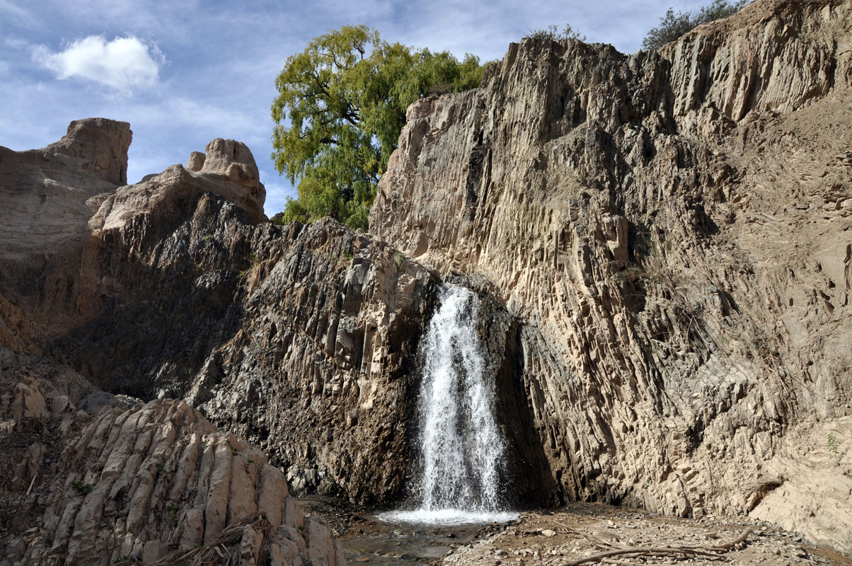
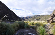
In the afternoon it has warmed up to 19 °C and we go for a short hike to the water fall "El rincón".
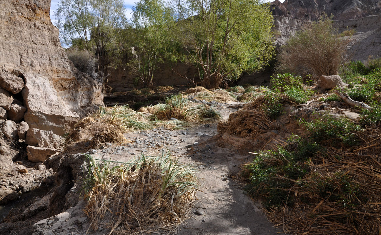
It does not have much water but they must have had some hefty rain recently.
The reed is still laying on the ground.
Next we follow the Sender "Paisaje de agua".
It explains a lot about the water in this area and how the locals used to irrigate this enstancia before it became a national park.
The Arroyo Leoncito is the only permanent source of water on this side of the Sierra del Tontal.
In the late afternoon we can watch Cuis or Conejito del Cerco (Microcavia australis, southern mountain cavy) in the bushes beside the OKA as they run from one borrow to the other one.
On Tuesday morning it is a bit warmer with 11.5°C.
So it wasn't the height .... ?
Is fall really coming ....?
By 10 o'clock it is already nice and warm and we leave the camp to hike the Sendero "Cerro El Leoncito".
We have to stop at the ranger's office to let him know that we are going.
He gives us a short briefing on how to behave should we happen to bump into a "Leoncito" ..... Puma in English ....
The national park is one of the last areas where the Leoncito still has its freedom.
But it is not seen too often as it sleeps during the day.
But one never knows ...
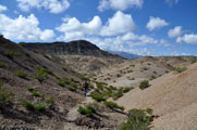
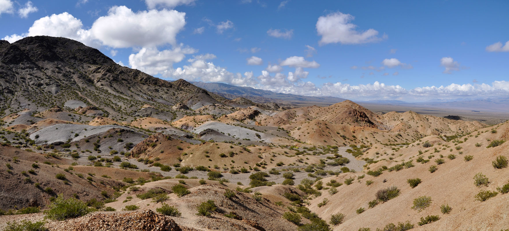
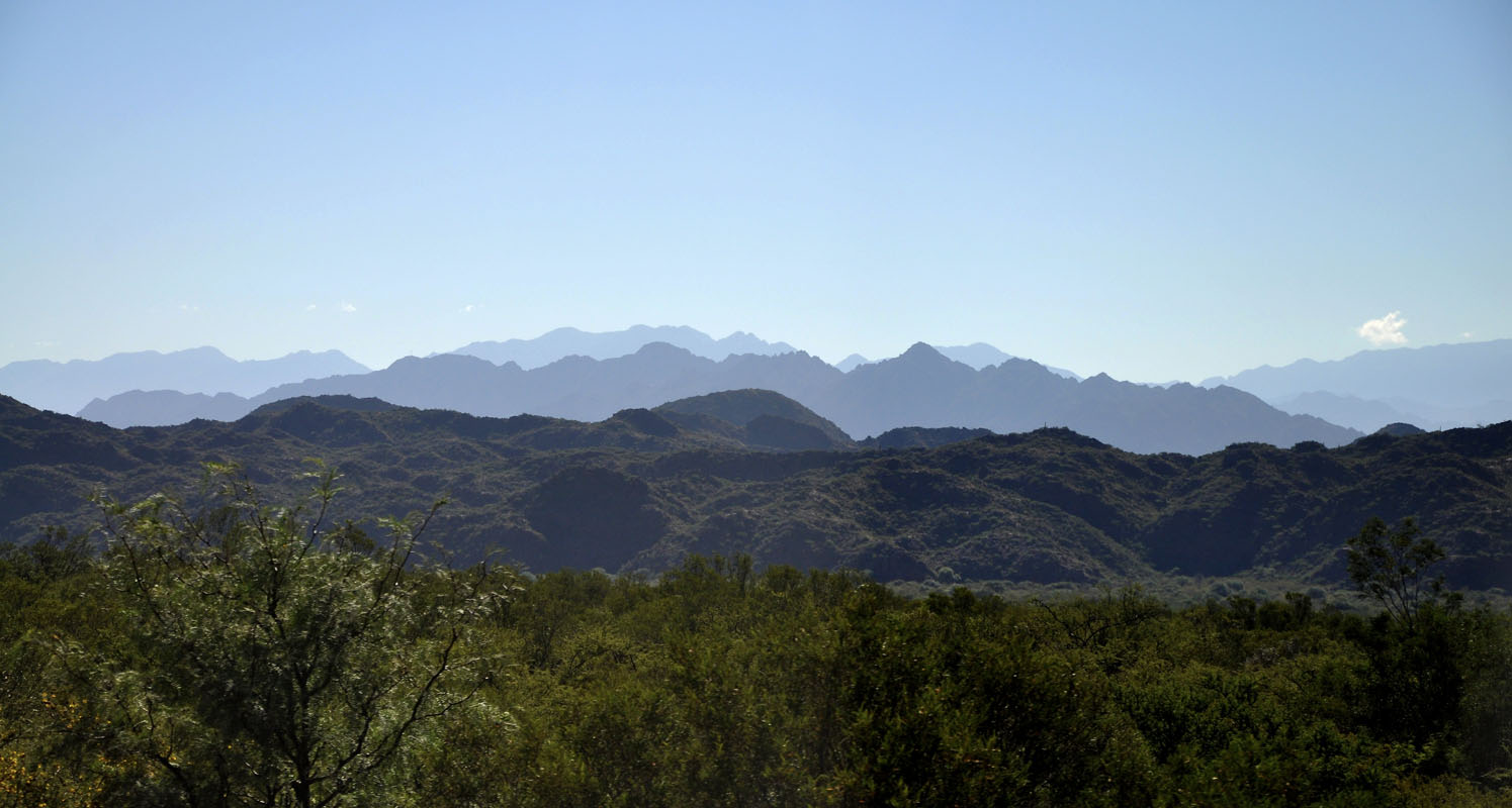
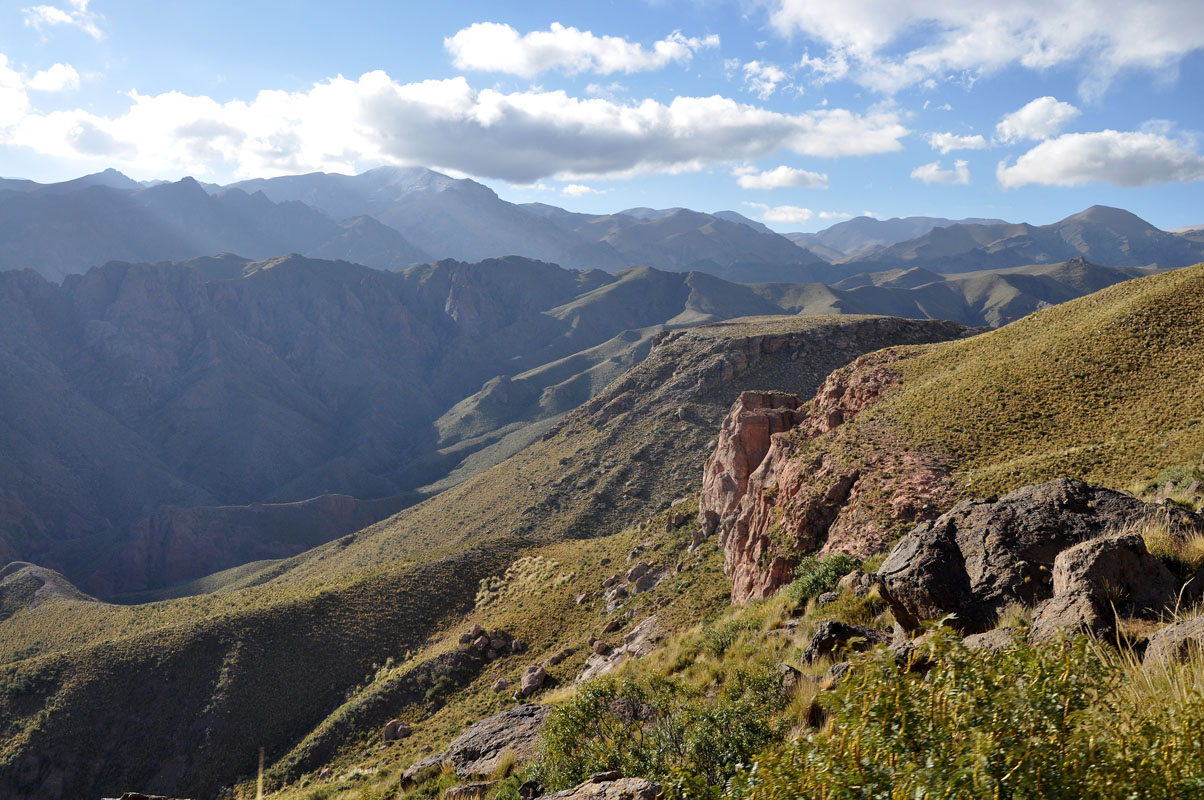
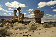
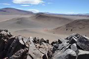
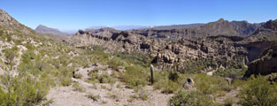
We come past some interesting rock formations and also the views are very nice.
But all we see from the Leoncito are fresh imprints in the sand .... at least we believe they are from a puma.
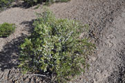
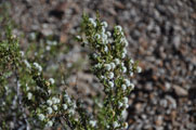
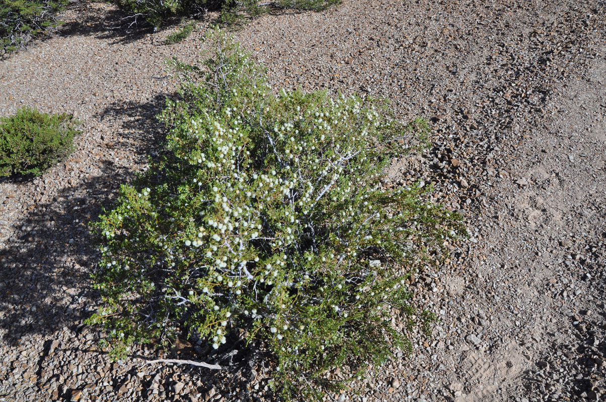
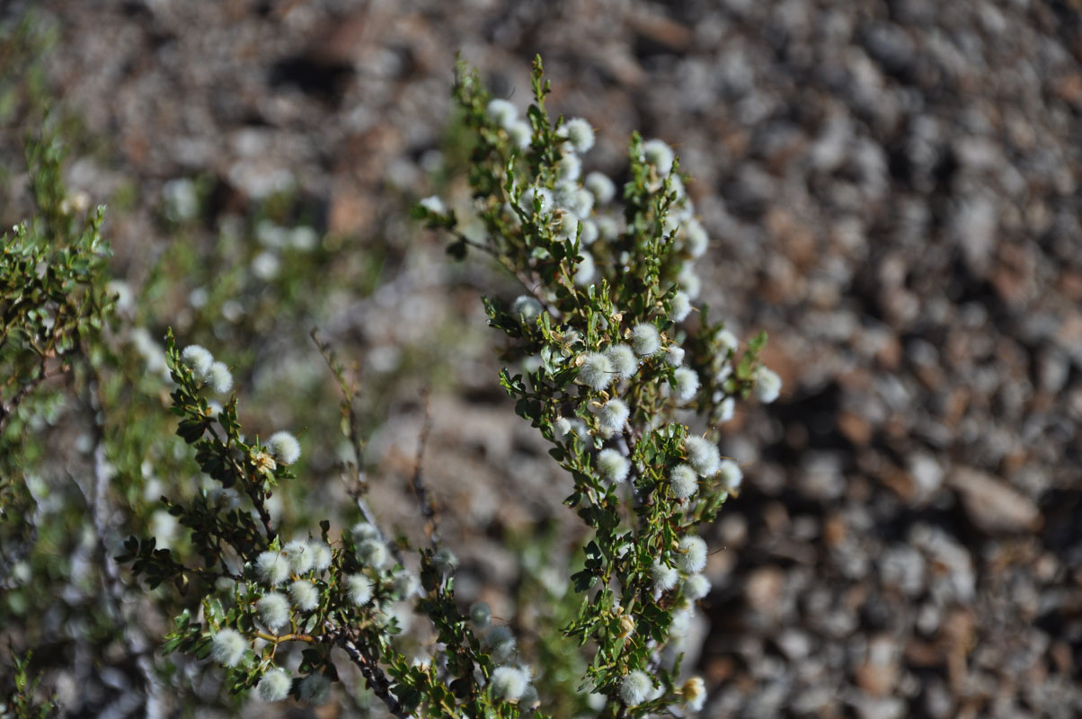
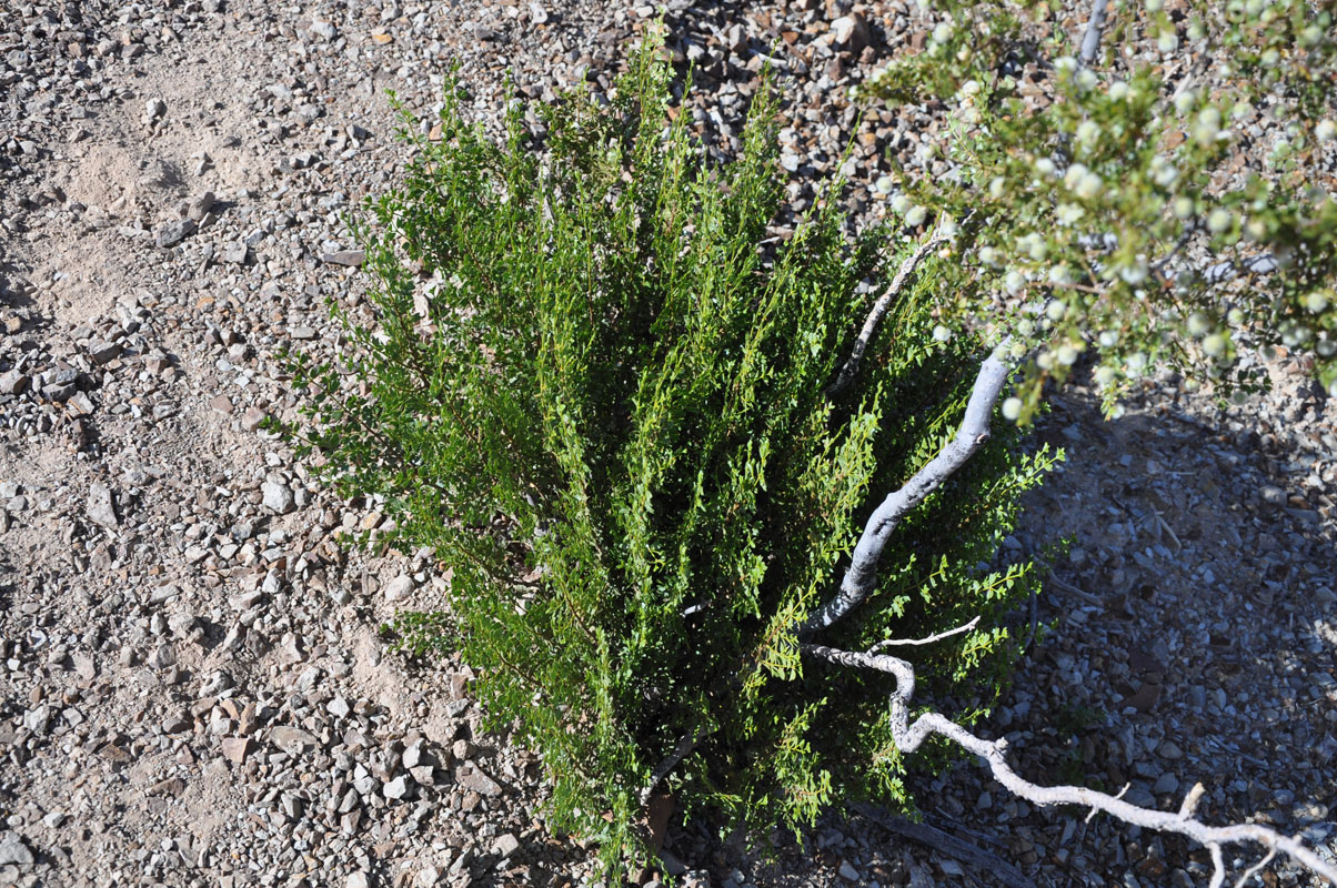
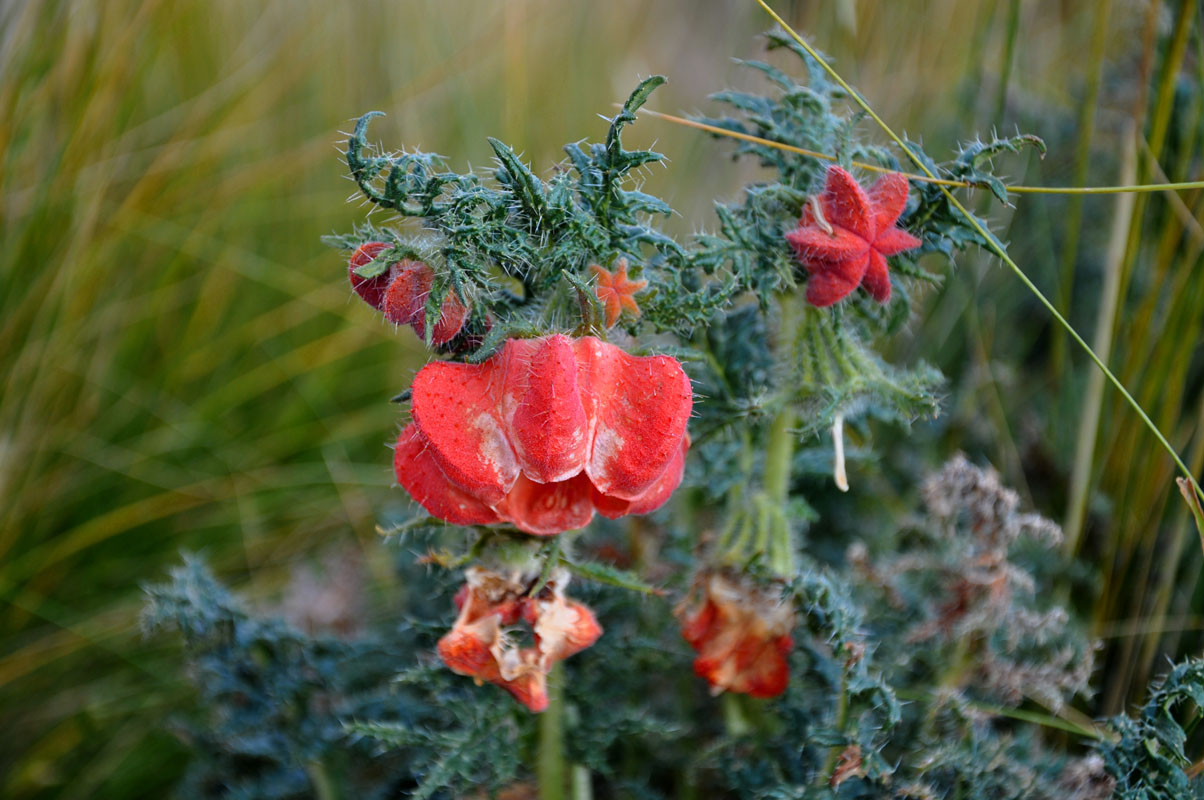
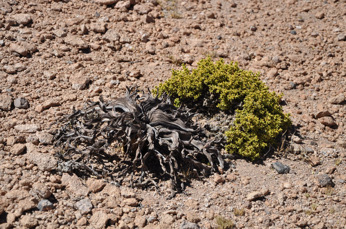
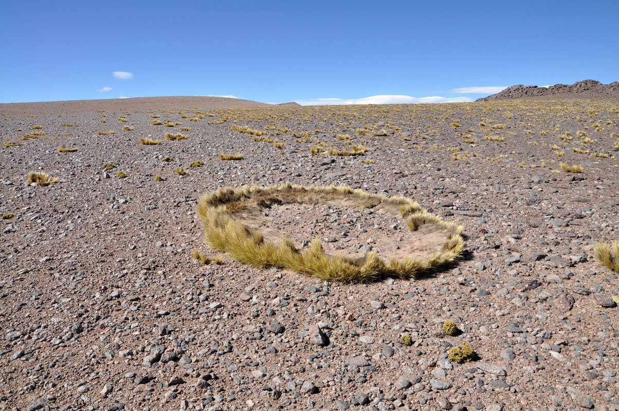
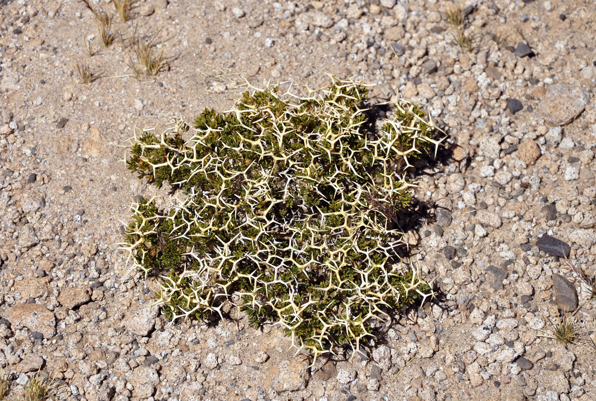
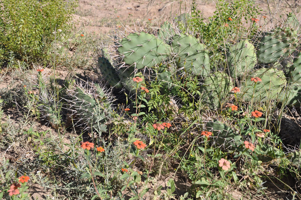
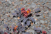
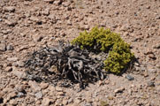
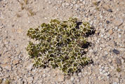
We also see an interesting plant, the Jarilla dulce, which has adapted nicely to the dry environment in this area.
The plant's leaves are oriented vertically to make the exposure to the sun as small as possible.
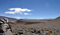
We reach the Cerro Leoncito and climb to its top.
The climb to the 2'519 m above sea level is worth it as it offers some very nice views.
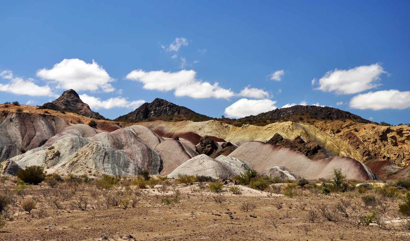
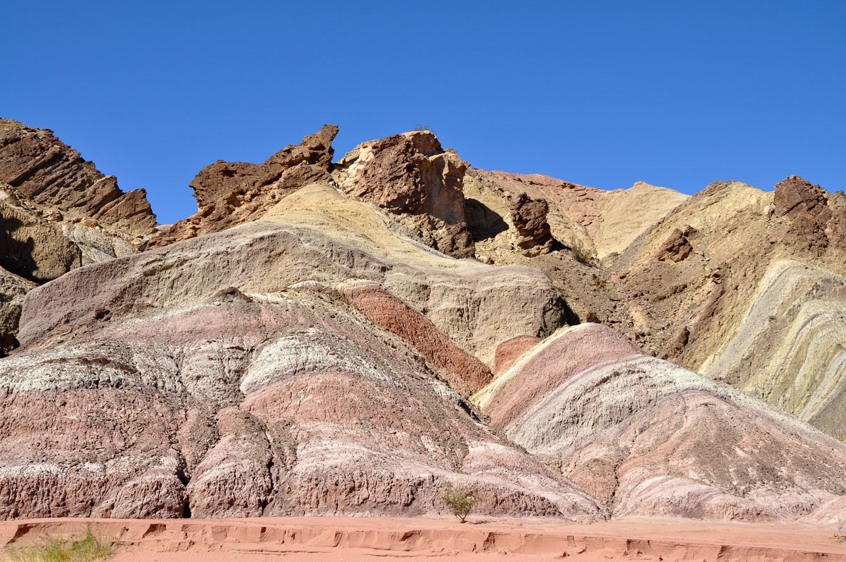
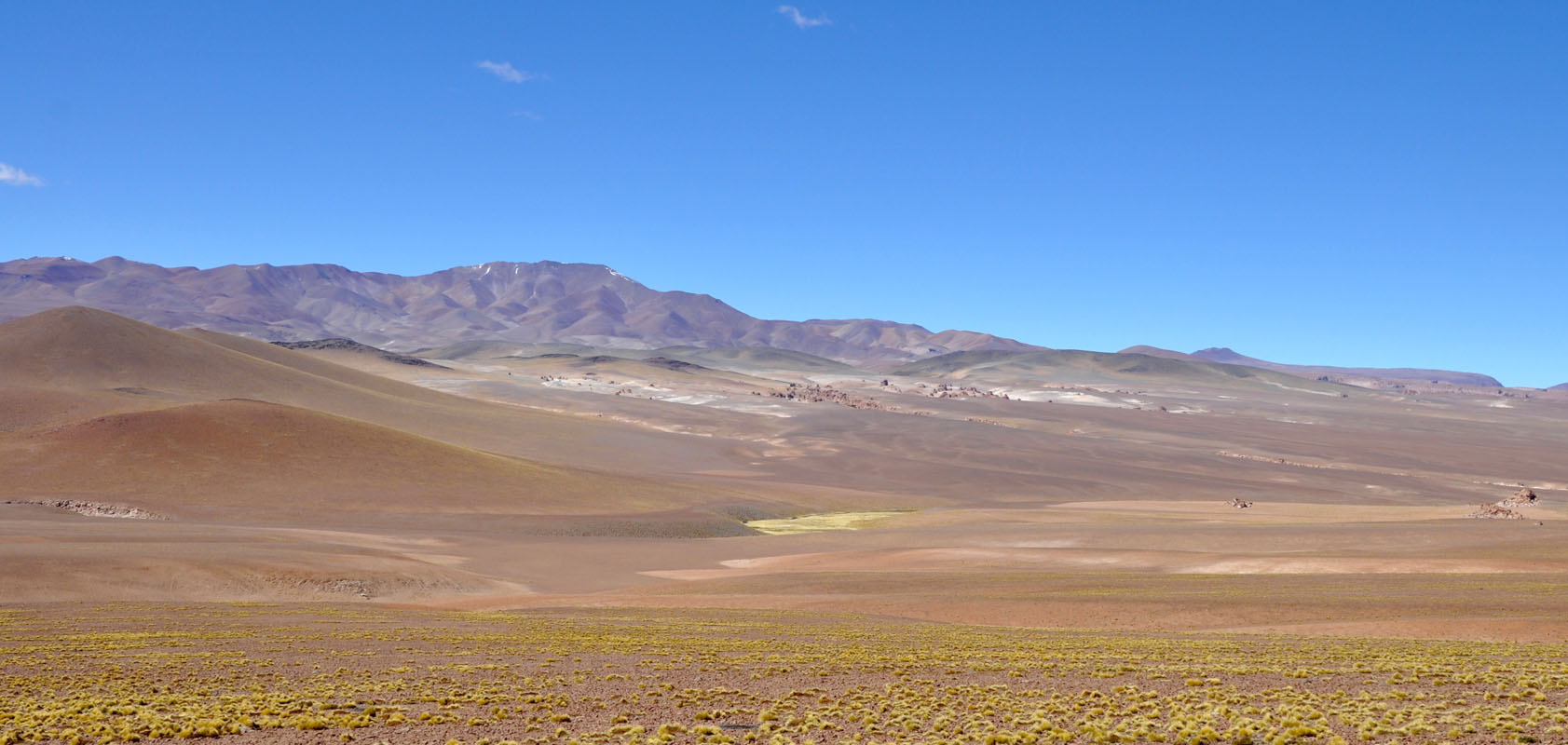
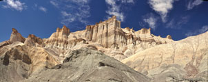
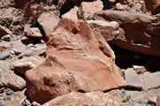
The material of the mountains in the area varies a lot which is clearly visible with the many different colours.
The Parque Nacional El Leoncito also houses some observatories, the C.AS.LEO (which is only open for bookings) and the Cesco (which is open to the public at certain times of the day and night without pre-booking).

On the way back we can observe the colourful mountains close-up ..... including some of its "inhabitants" ...
In the afternoon it is time for a hair cut again.
We get the machine out and get ready .... but the machine somehow does not really want to work.
It runs, stops running, runs again, stops running .....
Ruedi takes it apart and finds that a resistor has a problem and has started burning all a bit.
So he gets his equipment and fixes it.
Before closing the machine we test it ..... it runs, stops running, runs again, stops running .....
?????
Then because of the angle she sits Susi sees that the machine always works when the light of the inverter in the OKA is on indicating that it is producing 220 V power.
The hair-cutter is not strong enough to trigger the inverter to produce power!
As soon as we plug another 220 V appliance in the hair-cutter works perfectly.
So Ruedi "fixed" a machine that was not (yet) broken .... but would have died shortly .....
At least we get a good laugh ....
On Wednesday it is already time to leave.
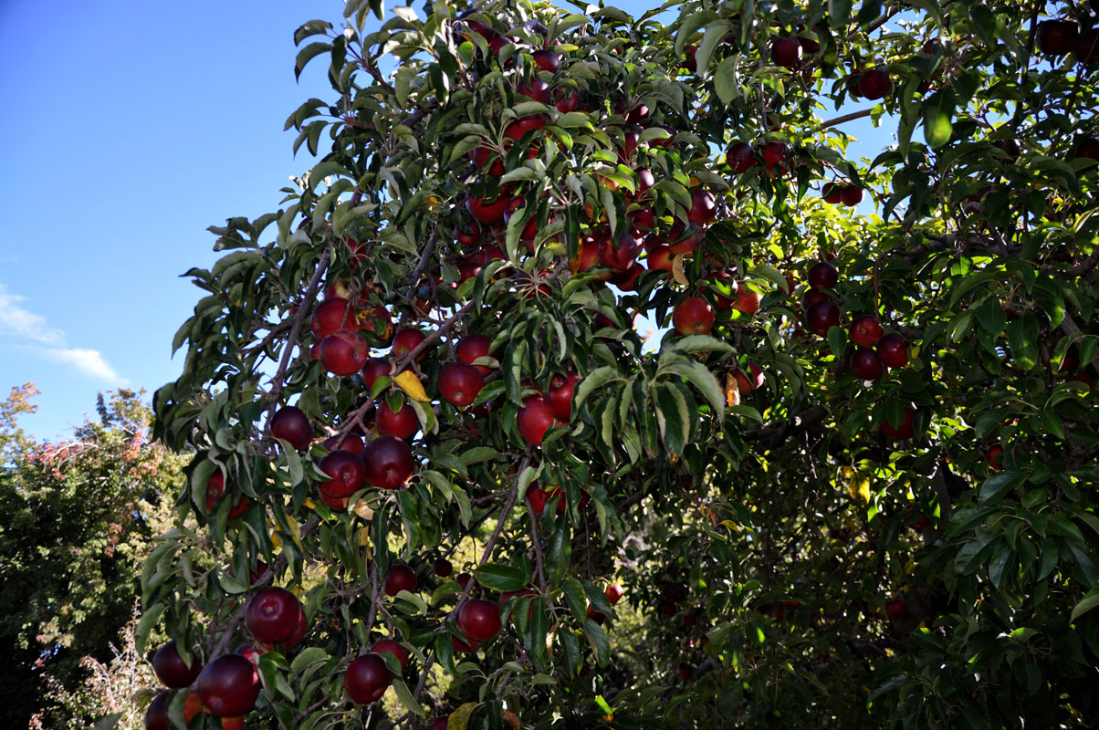
But before we leave we go and pluck apples and pears (Susi goes a bit overboard .... she must have collected some 5 kg of fresh fruit .....)
We want to go to San Juan to stock up on food in a large shopping centre.
In the small town one can get the essentials but the nice cheeses and so on are only readily available in the Hypermercados.
On the way from Uspallata right at the border of the states Mendoza and San Juan we had seen a track leading into the mountains towards Los Berros.
So we head back towards Uspallata until we reach the turn-off.
But it is blocked with rocks ...... the recent rains have made it unpassable ....
This for us means that we have to take the long way round to reach San Juan.
So we head back past the national park and reach Villa Pituil, where we are stopped .... quarantine ...
But we are lucky.
The ladies that stop us only ask where we come from.
When we replay that we come from the national park they seem to be happy with the answer and let us pass ... probably the fruit flies from the national park are the same in this area.
We stock up on essentials and continue on towards Barrear on the RP 149.
Everywhere we can see signs of the heavy rains.
Many times the gravel that has been carried down from the mountains and left on the road is so high, that they have just taken the grader and made a new track over the gravel.
The cleaning up is still ongoing and we even see places where the water still has not yet dried up completely.

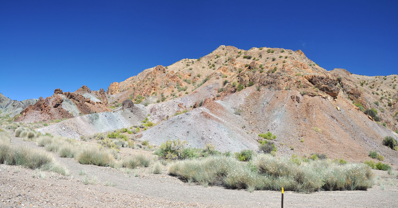
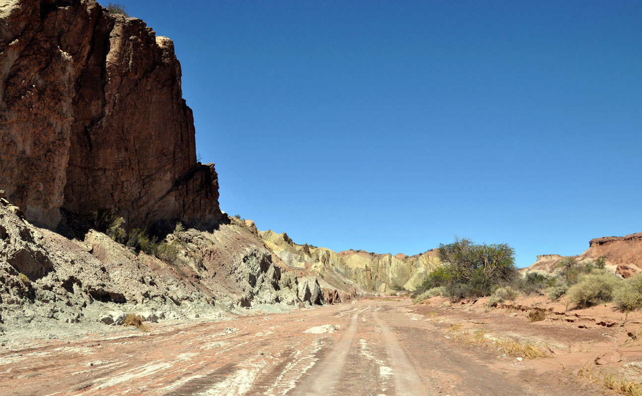
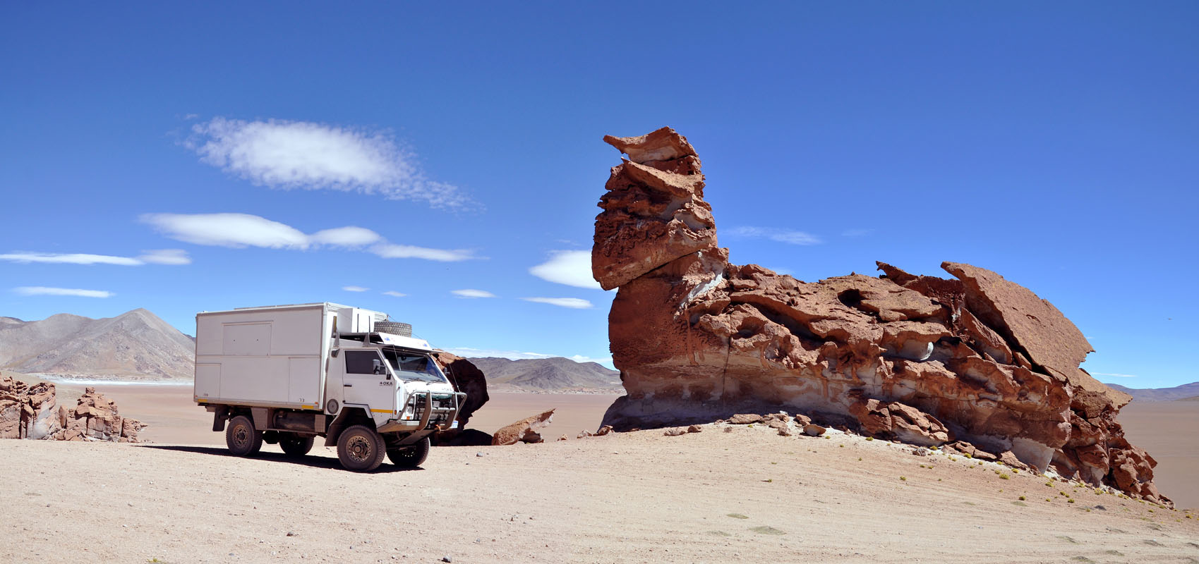
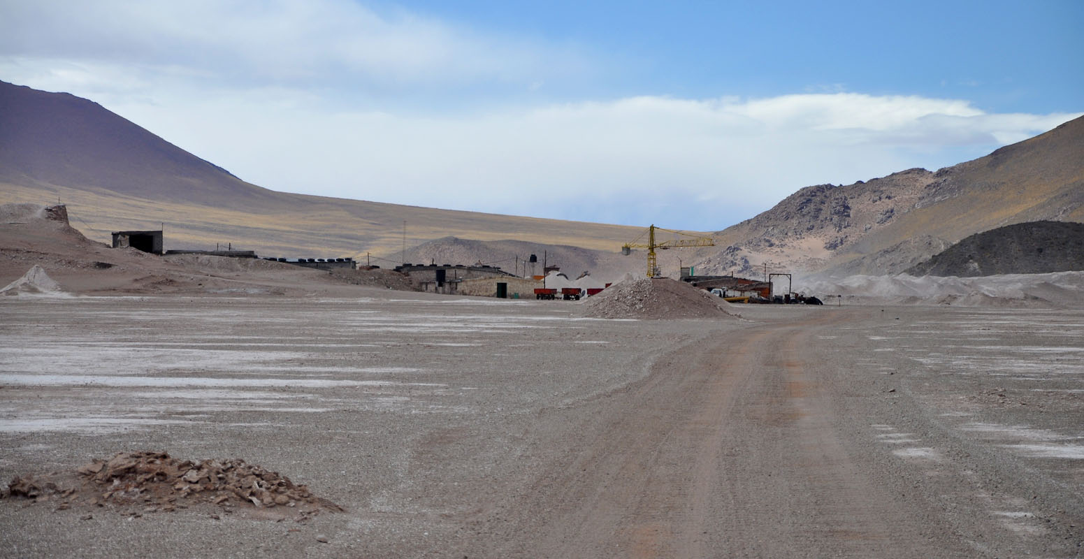
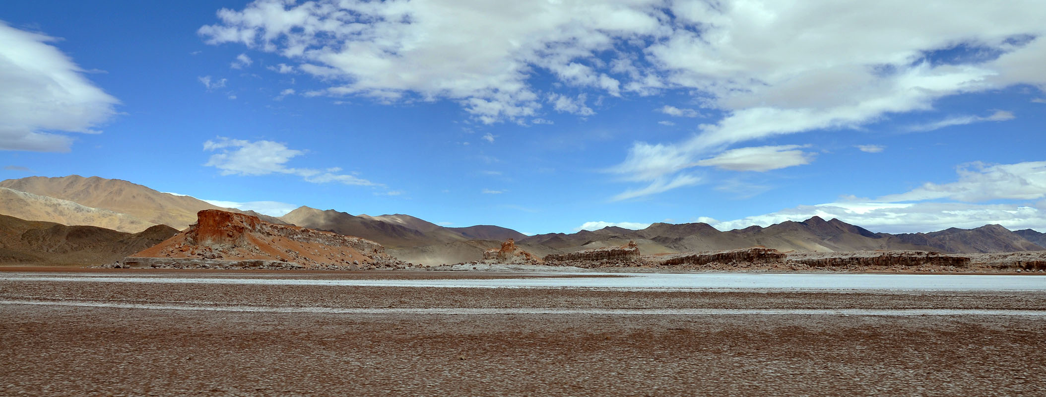
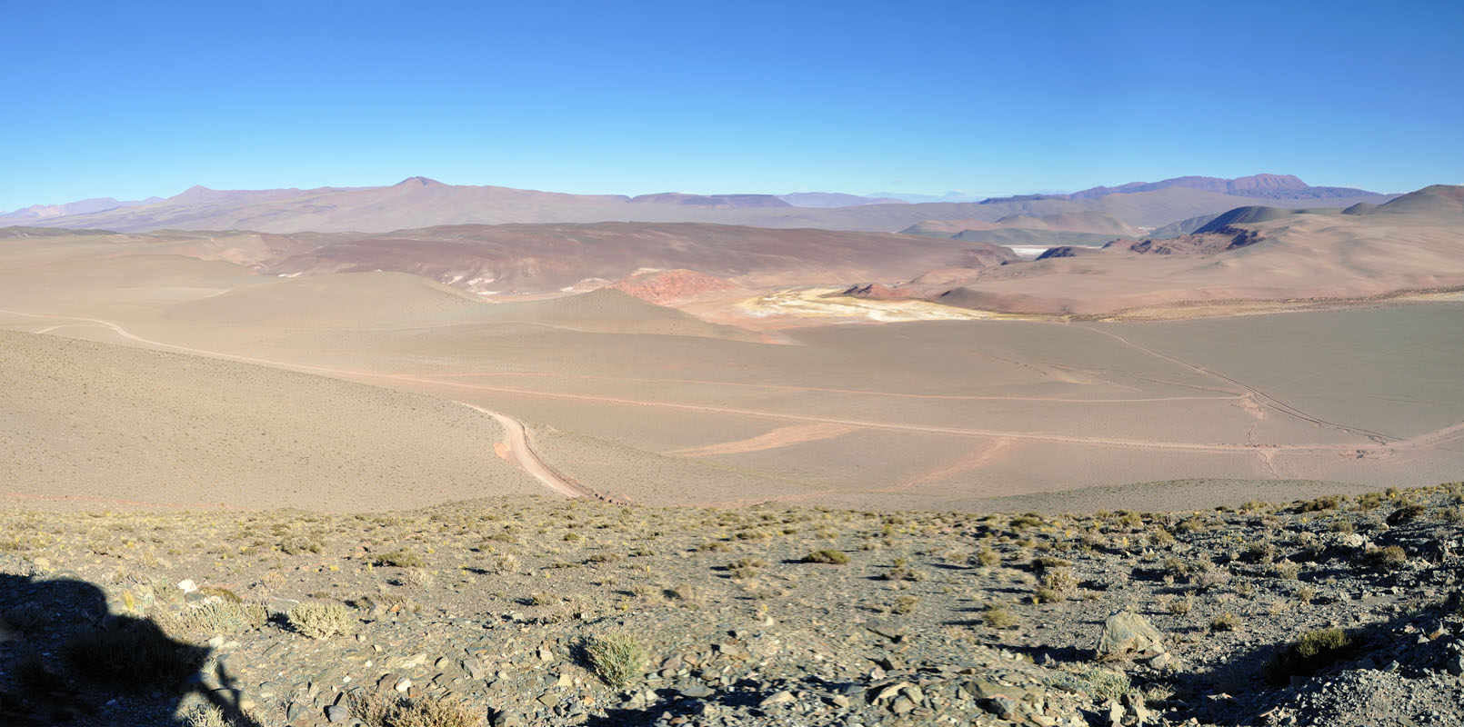
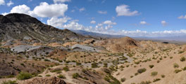
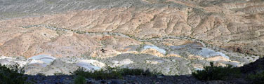
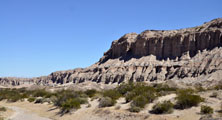
At Mina Don Juan we see some very colourful formations.
Sadly it is right in the middle of a construction site and we cannot go and have a look.
Shortly after we see a sign with a photo camera on it pointing at Cerro Alcazar.
We deviate and find a very pretty setting.
We climb a bit around but it is really hot ..... or we are not used to 32 °C anymore .....
We come past a lot of old and deserted mines.
This must have been a lively and prosperous area when those minds were still active.
But now it just has a lot of old metal ruins and probably a lot of poisoned ground .....
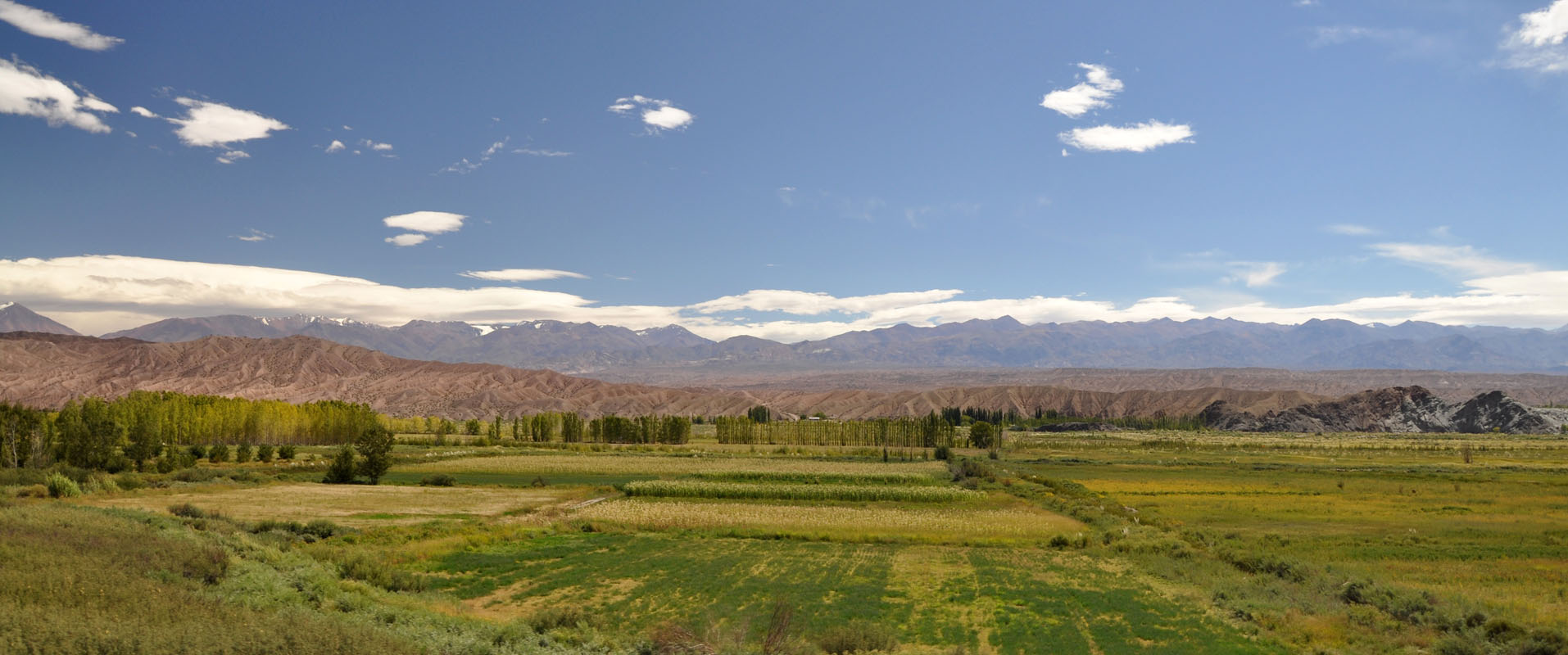
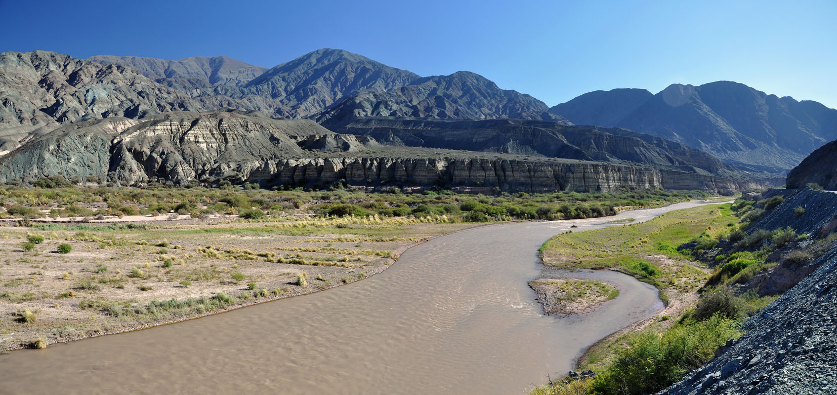
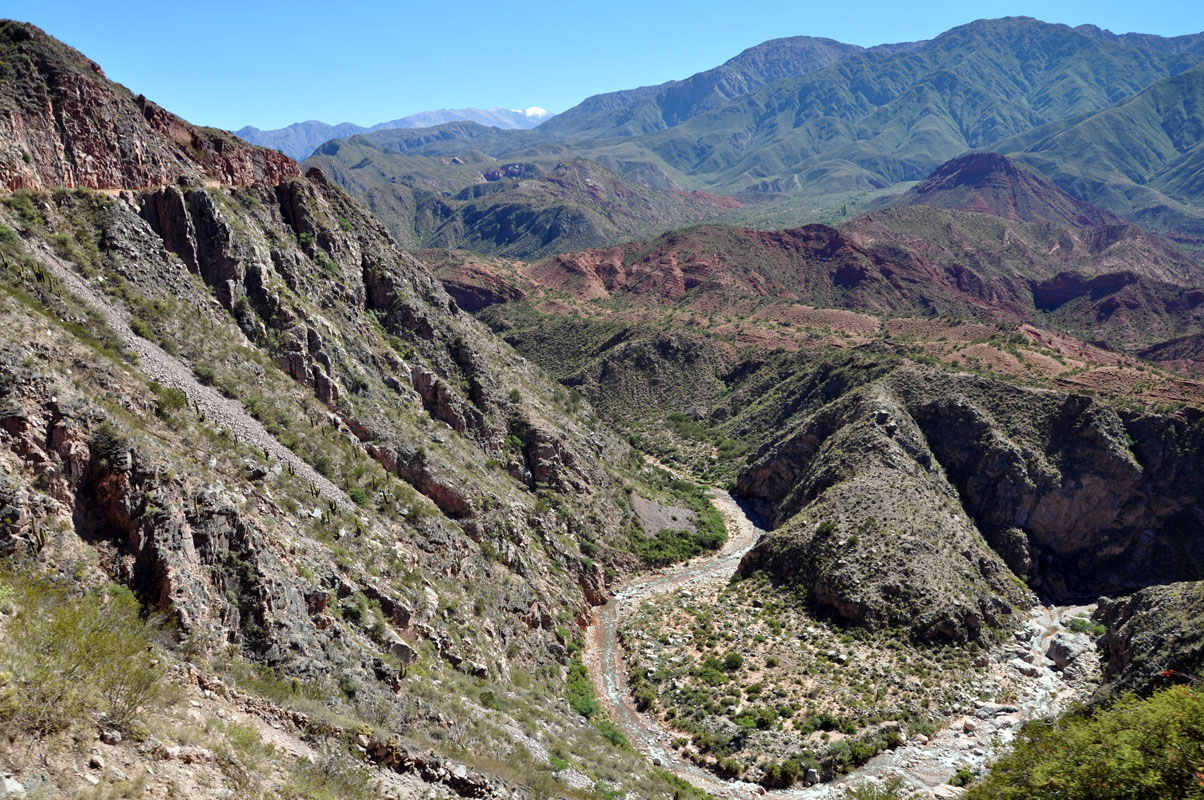
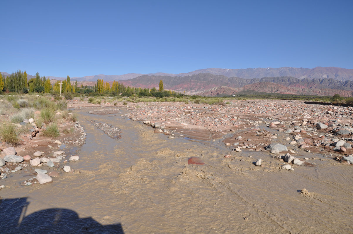
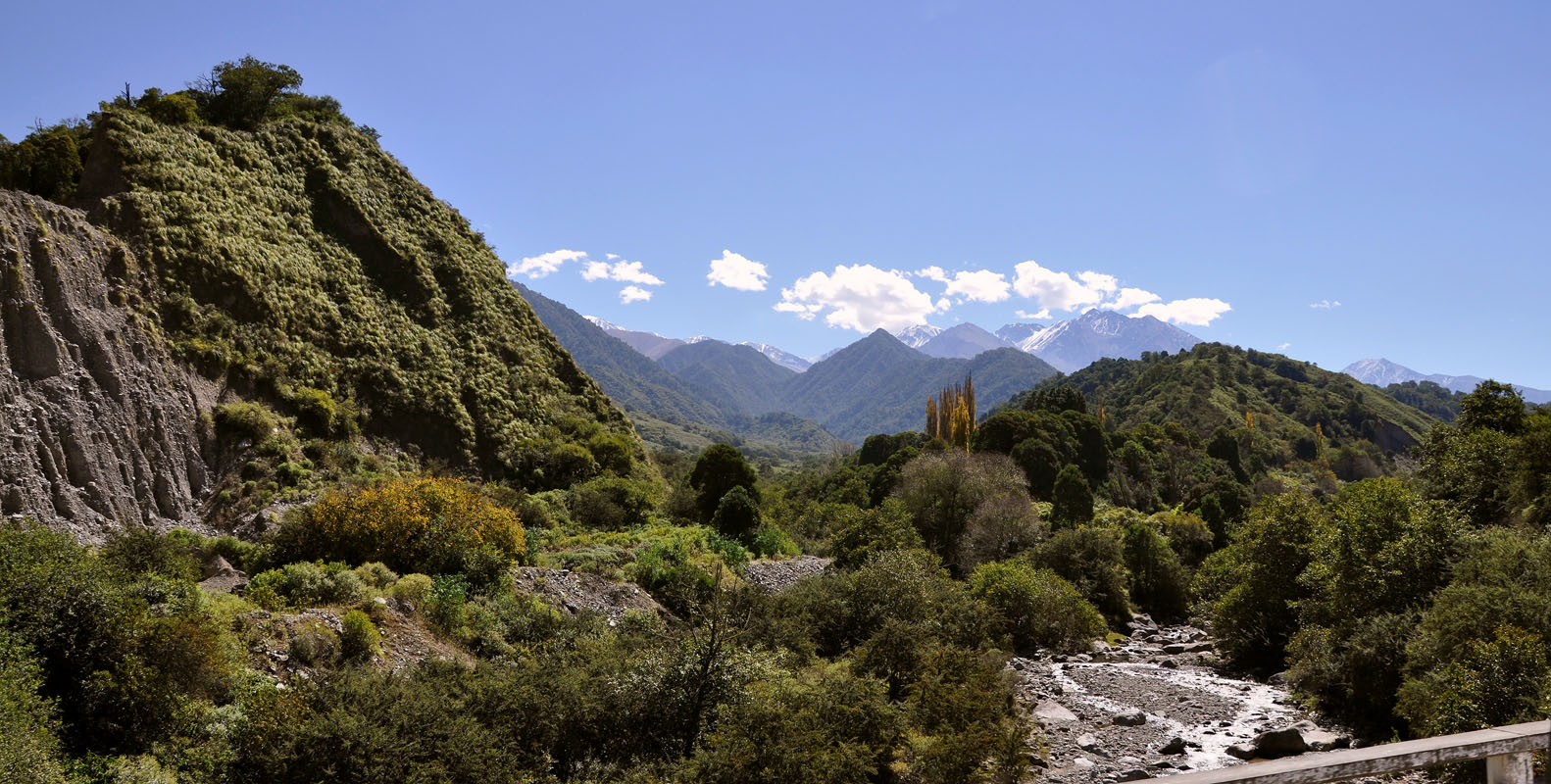
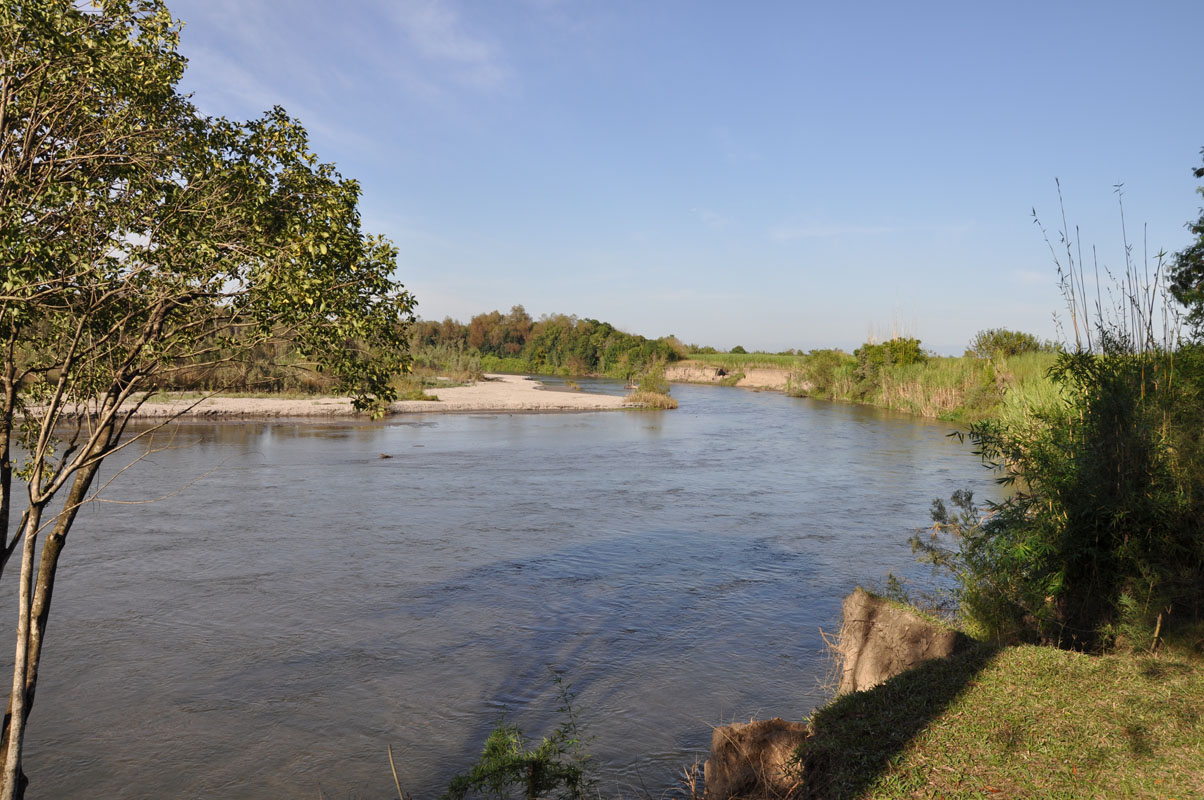
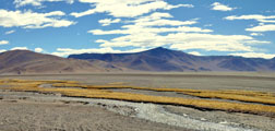
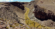
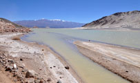
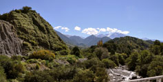
After Calingasta we follow the Rio del los Patos and find a green and fertile valley.
The river still has lots of water and here we can see signs of recent flooding.
We find an abandoned campground with a small forest and decide to stay for the night.
Some funny looking seedpods attract our attention.
We can tell that we have dropped almost 1'000 m since yesterday in elevation:
The temperature overnight stays at 14 °C .... nice!
This is more what we like ....

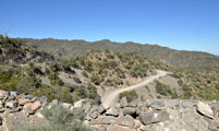
On Thursday we continue on RP 149.
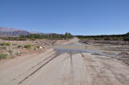
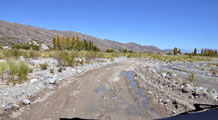
The valley is very pretty, but the river still is high and there is a lot of rubble on the road - just temporarily shifted to the side.
In some sections we even have to cross water ..... a few days ago this drive would have been interesting .....
We reach Pachaco and want to deviate to the RT 12, a small track that leads over the mountains to San Juan.
But the road is blocked and the police have installed a container here.
The office explains to us the RT 12 does end at a dam now ...... damn dam .... we have to drive all the way around on the RP 149 and then the RN 40, some extra 100 - 150 km .....
So we cross the river on the rather new bridge and continue on.
Soon the road starts climbing at quite a rate.
We climb and climb .... from approx. 1'200 m to approx. 2'100 m above sea level in just about 13 km ....
Then it levels in and slowly we climb the last 100 m into a long valley.
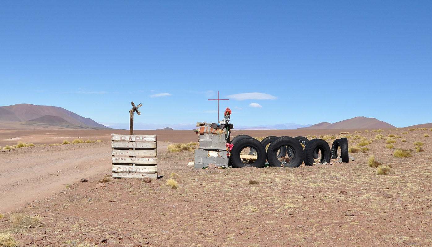
At the summit we find a shrine of two saints, one from Chile and one from Argentina that protect the travellers.

We drive down into the valley.
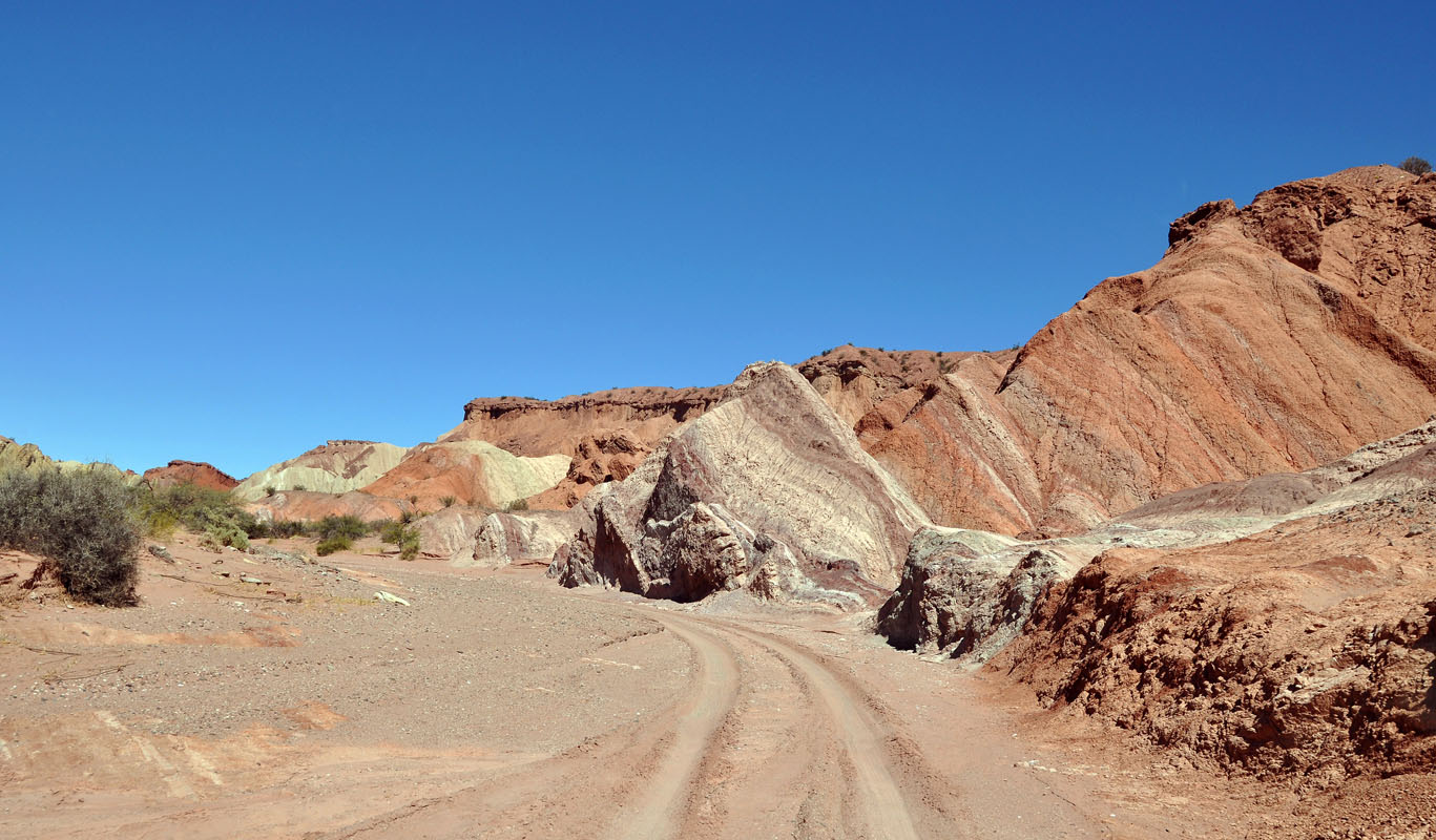
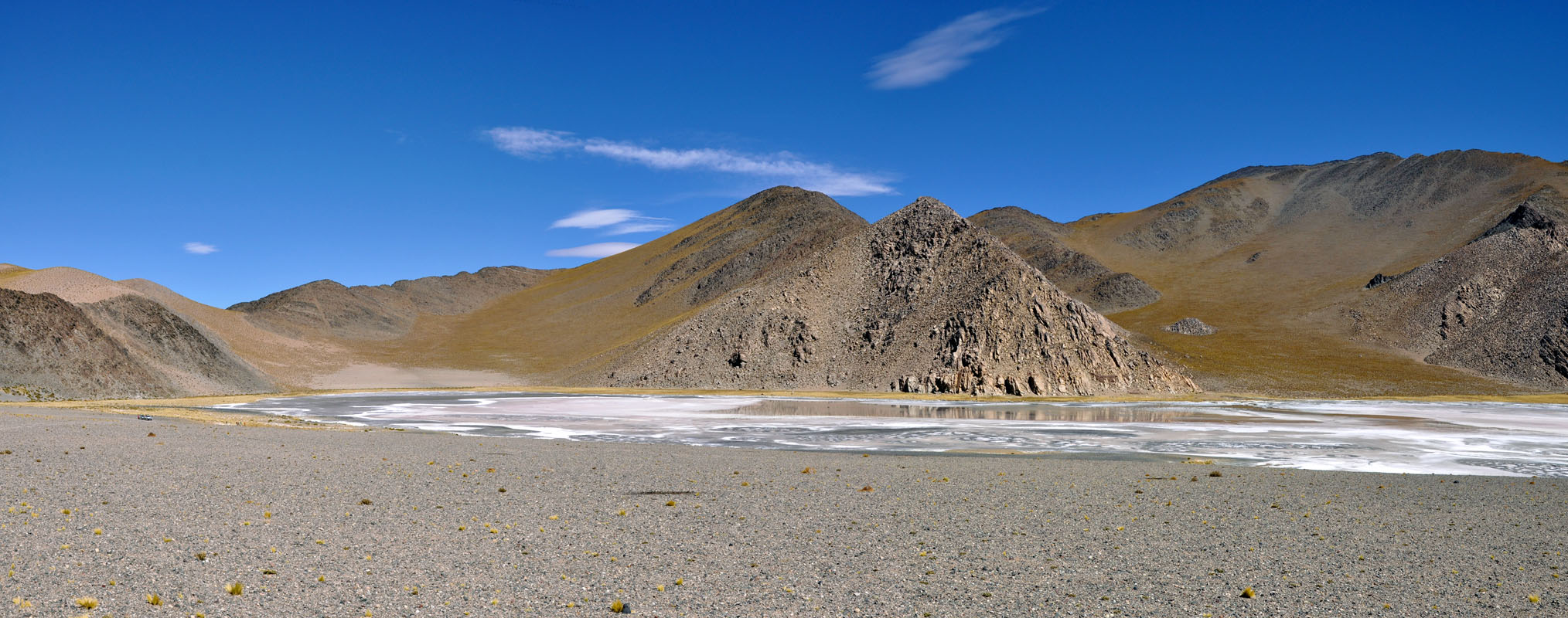
Again the colours of the rocks change rapidly.
We reach the RP 436 and turn towards San Juan.
In Talacasto we reach the RN 40 again.
This side of the mountains is very dry.
We pass many dry river crossings.
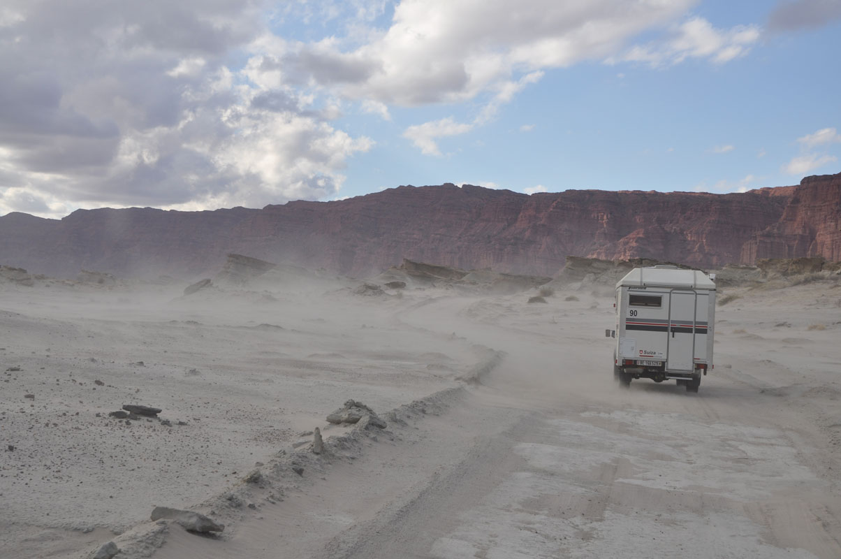
By now it has become hot again and strong winds pick up the dust.
The valley looks like it is filled with smoke.
In Matagusanos we see a vehicle on the side of the road.
We stop and ask what the problem is.
They need water for the radiator ....
Ok, we fill water and pass it on to them.
First thing they do is drink it ..... Looks like they did not carry much drinking water with them either .....
Then the man opens the cap of his radiator and starts filling the water into it.
Steam shoots out of the radiator ..... Not a good sign.
He says that he has broken his radiator belt and then the engine has overheated.
Not much we can do .... but he has already sent somebody for help to San Juan.
So we give them some more water and a few apples to pass the time until their road-side assistance arrives.
In San Juan much to Susi's delight we find a well-stocked Hypermercado Libertad.
Then we find a COPEC/Texaco on the Autoruta leaving San Juan in easterly direction (GPS: S 31° 33.143', W 68° 29.509') which is equipped with an open WiFi, a secure parking and even a Maytag washing machine!
Susi feels like at home in Australia when she uses it .....
It is a bit loud but probably the best we can find so close to San Juan to stay for the night.
On Friday, March 22, we leave San Juan in easterly direction on the RN 141.
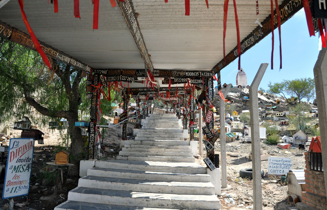
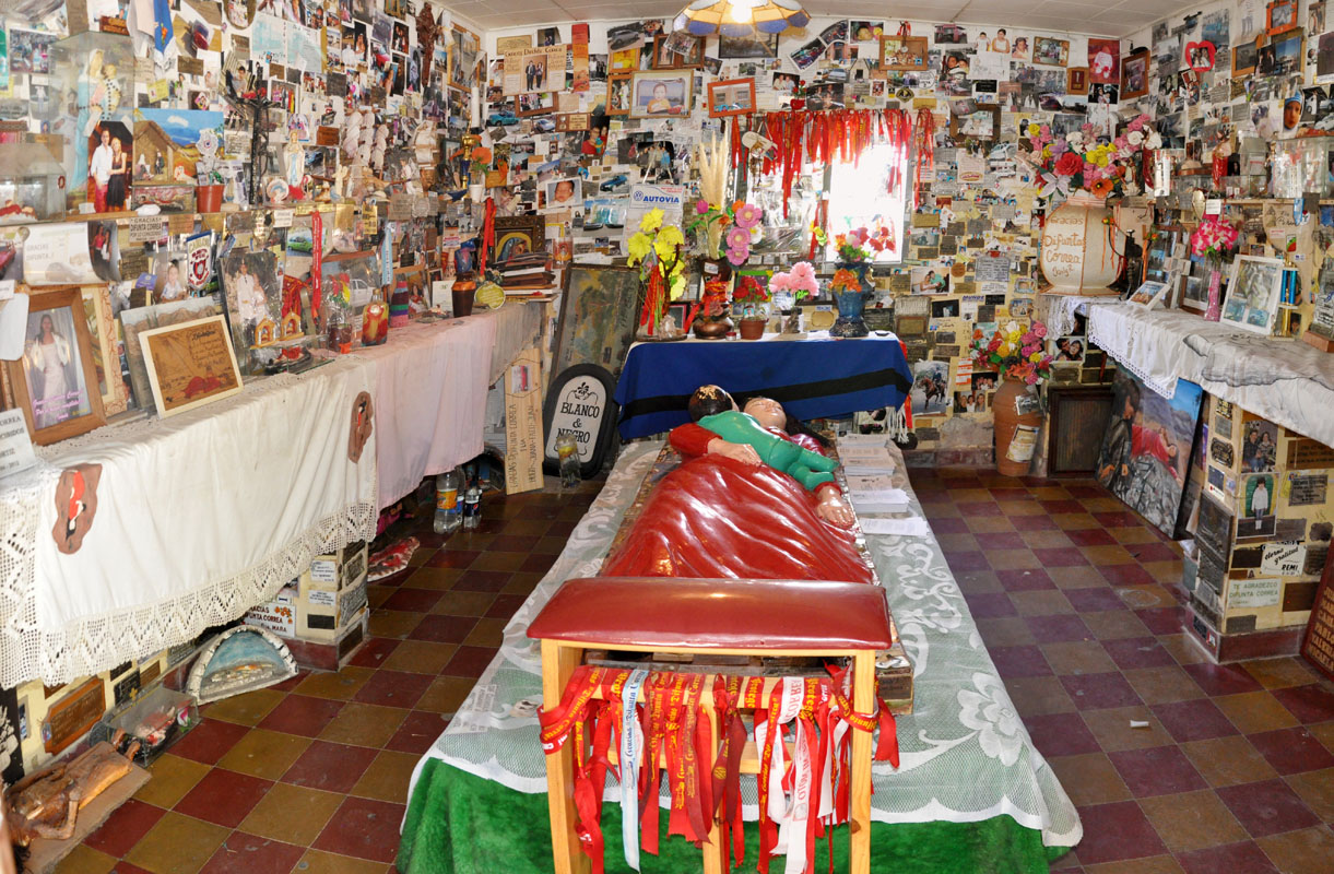
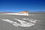
Today we want to visit Vallecito, the resting place of the remains of the "Difunta Correa".
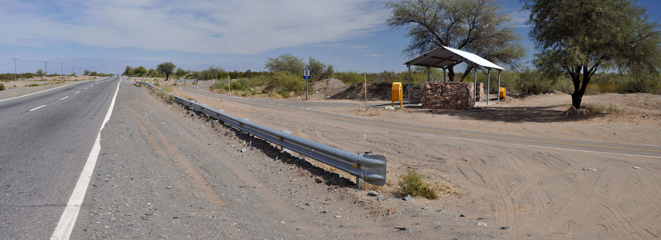
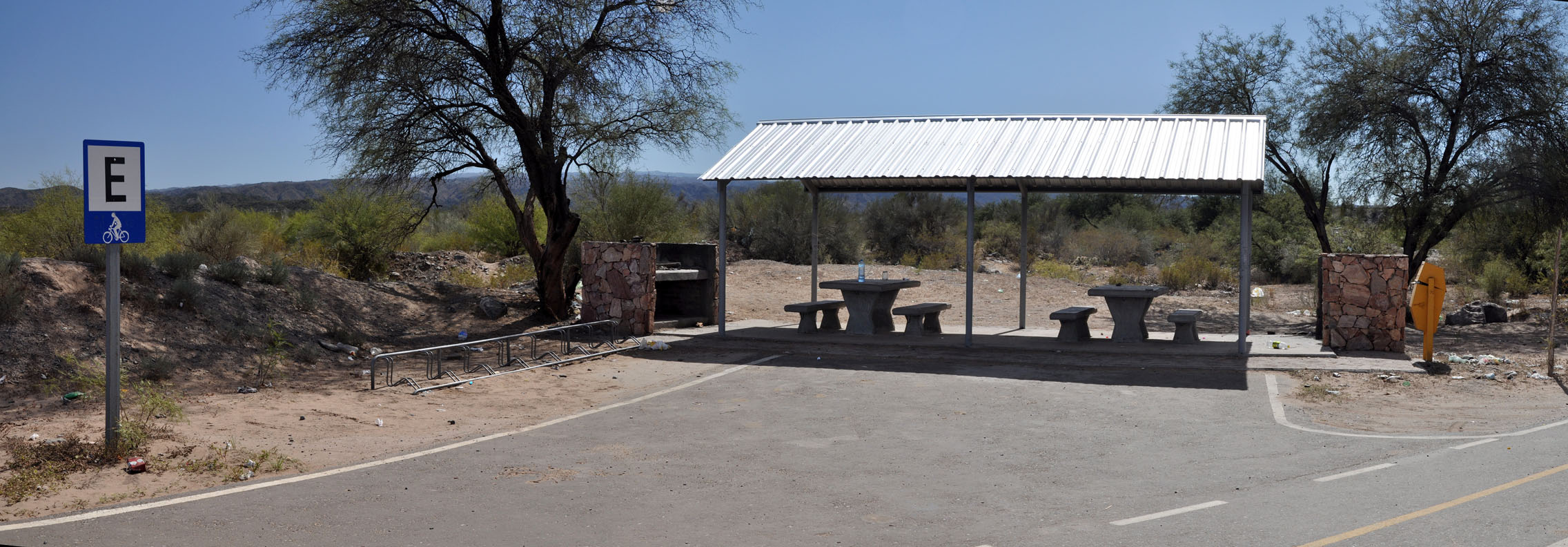
As we drive we see a new pedestrian and bicycle track and wonder what this is all about .....

Then we see recreational areas with bicycle racks and we wonder even more .....

Then we see special signs for bicycles and we don't understand the world anymore .... until we reach Vallecito and see that this is the pilgrimage route to honour the Difunta Correa.
Visits to the Difunta Correa's shrine take place during the whole year, but they are more numerous during Easter.
They come on foot, bicycle, horse carriage, etc. etc. in celebration of the National Festival of the Truck Driver.
Crowds of 200,000 people have been counted!

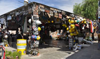
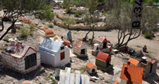
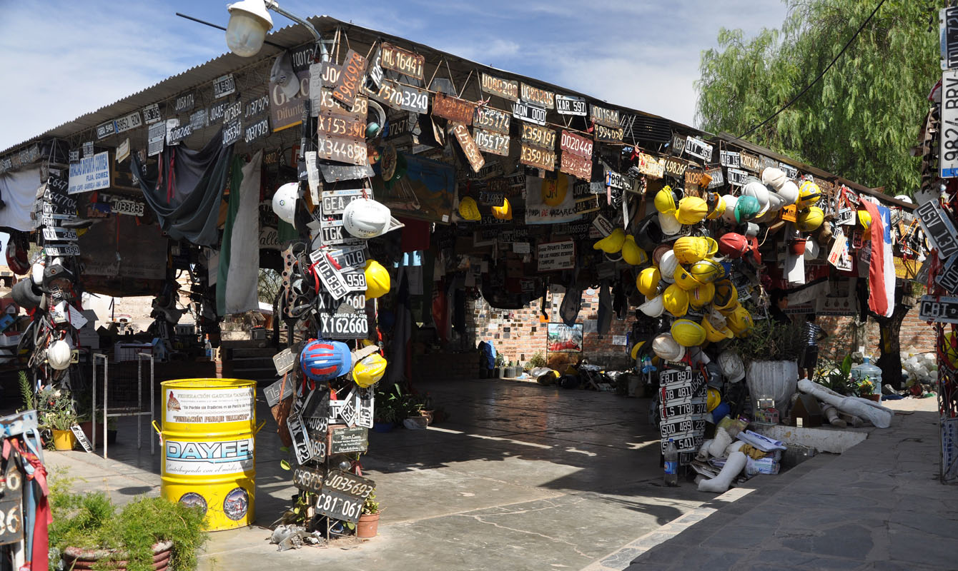
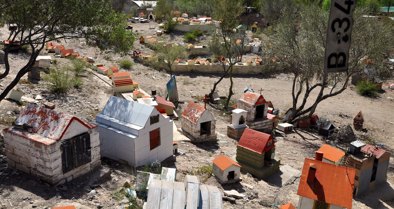
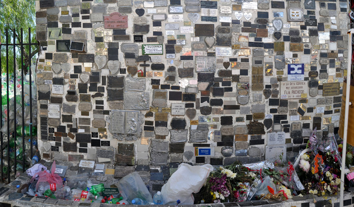
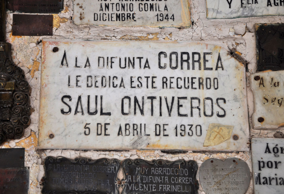
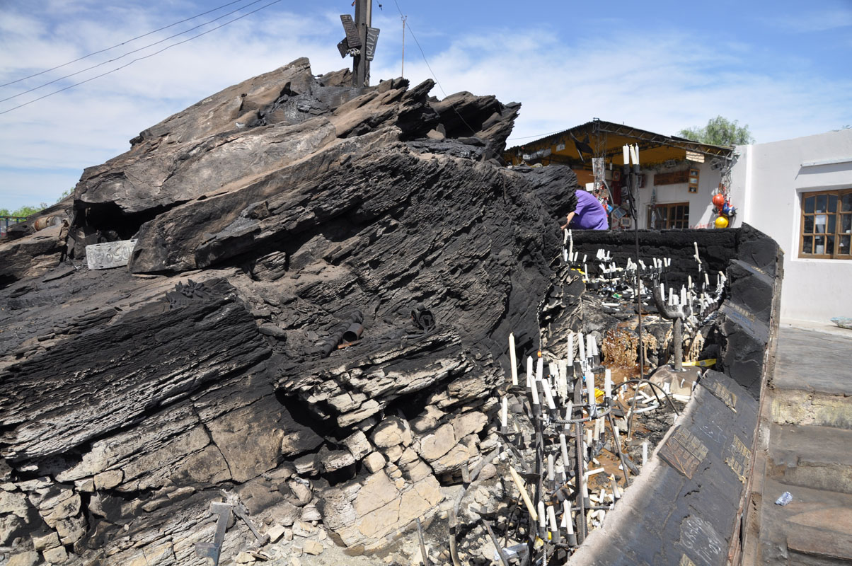
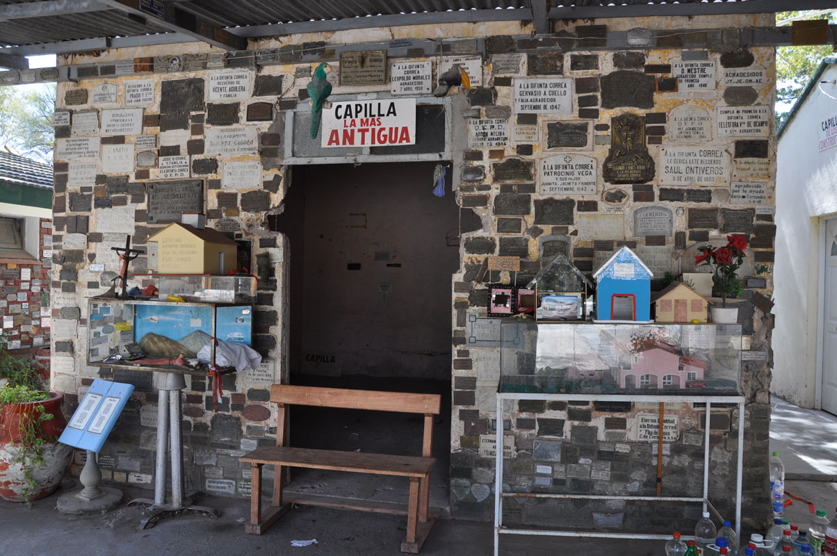
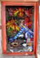
Car registrations and scale-model houses can be found all around the hill to the main sanctuary.
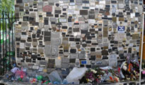

Engraved on plates with thanks to the Difunta Correa are fixed to the walls all over the place (the oldest one we see is from 1930 ...).
Also water bottles (some of them frozen) are left to quench her thirst.
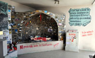
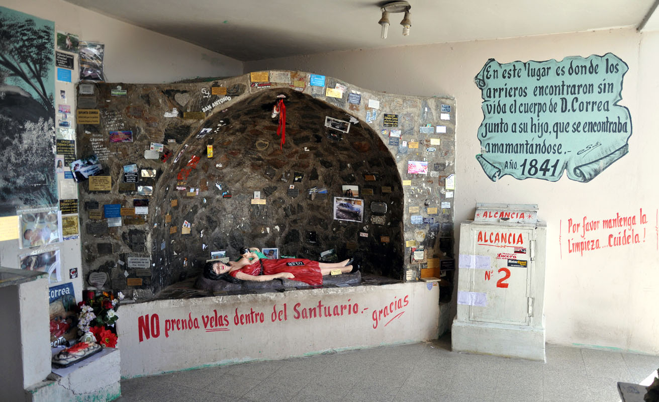
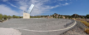
In the chapel on the top of the hill there is a life-size statue depicting the Difunta lying face to the heavens, with her child at her breast.
Worshippers are asked not to burn candles at their shrine.
There is a rock outside where candles can be lit in her honour.
When there are too many candles they don't burn anymore, just melt.
There is a special channel for the liquid wax to run down the hill into a reservoir.
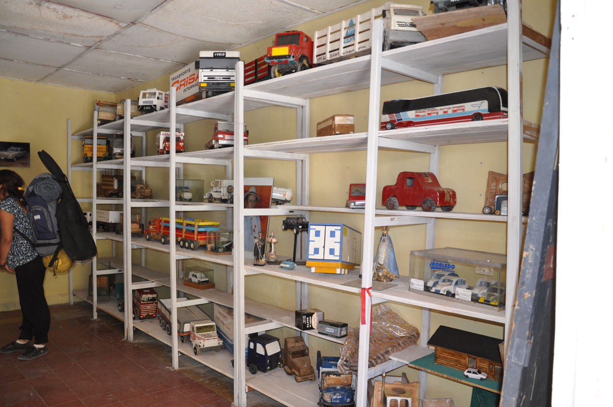
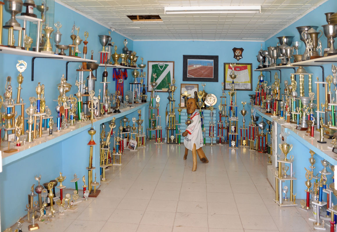
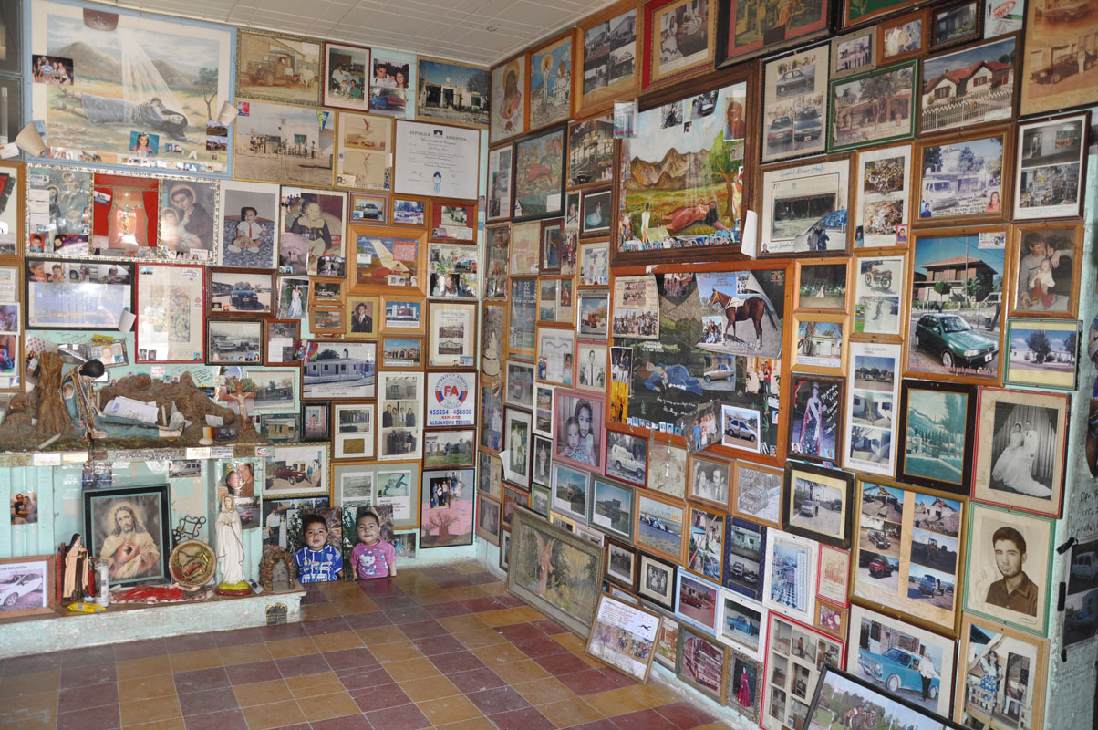
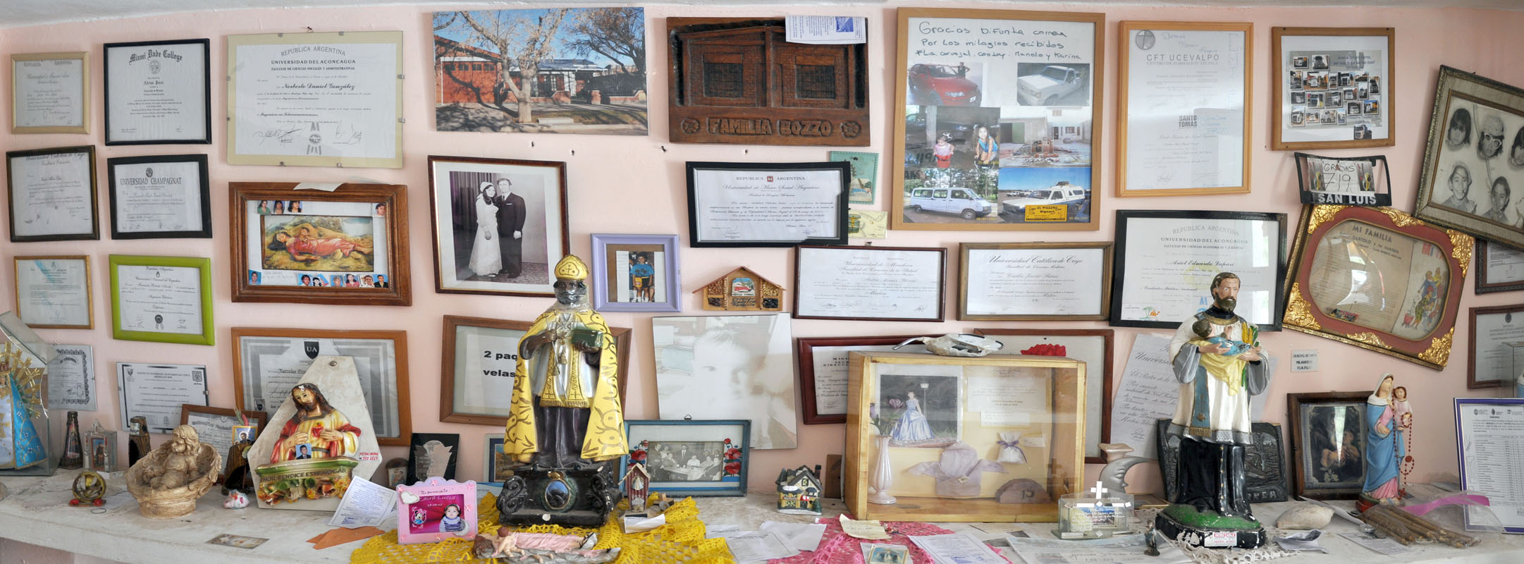
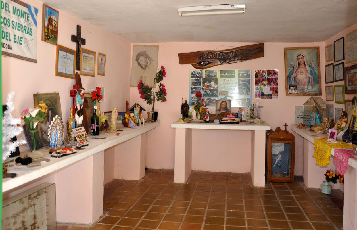
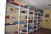
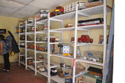
There are several chapels full of offerings.

The chapels are donated by her followers, whose names are engraved on plates fixed to the doors.
The sanctuaries are segregated by themes.
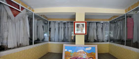
For instance, one of the chapels is full of wedding dresses offered to the Difunta by women whose prayers to get married were fulfilled .....
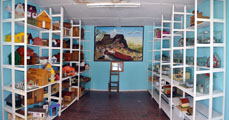
.... cars, houses, trophies ....


... pictures of loved ones to be protected ....

... degrees .............. all mixed with a bit of Catholicism ...
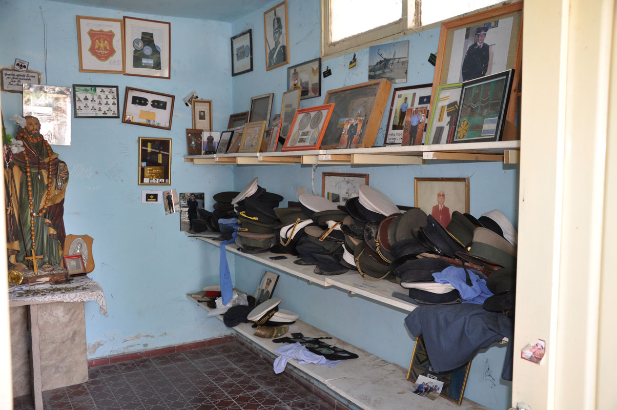
Even the armed forces and police have a shrine!
After this impressive display of faith we decide to visit "San Expedito", another protector of travellers.
We follow the signs and land in Bermejo.
But all we find is stands where they sell figurines of the saint .....
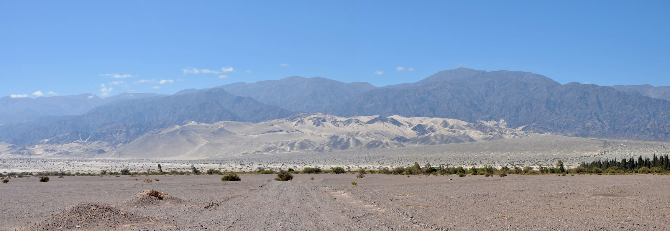
A bit disappointed we continue on. The country changes to desert with some overgrown dunes.
By now it has become hot again with 31 °C.
In Marayes we change to the RP 510 and head north past the Sierra del Vale Fertil.
For kms and kms we drive past fenced off pastures.
The road has been built over dunes and is a bit like roller-coaster riding, up and down and up and down. ... the "downs" usually ending in a dry river bed crossing .....
It seems that this country cannot absorb a lot of water and when it rains all these little now dry creeks swell to small rivers bringing a lot of rubble from the mountains .... erosion at its best .....
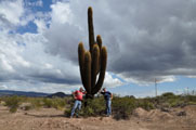
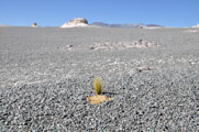
Then large cacti start appearing.
Some of them must be at 4 m high!
The GPS tells us that in Astica there must be a camp ground.
But as so often, the GPS is wrong ...... there WAS a camp ground ......
So we leave the town and find ourselves a spot for the night .... which is not easy in this area of fenced in properties!
But luckily we spot an old section of the road and can "disappear" into nature.
We always try to camp in spots that are not visible from the main road.
Not that we have had many problems with people but we go by the logo: better safe than sorry!
And sure enough, as soon as we are parked and all windows open an old Gaucho comes riding past on his horse.
But so typical for Argentina .... he just has a quick look, a "hola" and he is gone again .... he could not care less about those crazy tourists camping on an old deserted stretch of road out in the Woop Woop .... and that is what we like so much about this country: privacy!
Sorry, (for non-Aussies: "Woop Woop" is Australian Slang for an imaginary remote town or district symbolizing isolation and backwardness .....)
During the night a fantastic light show is displayed ..... sheet lightning all over the valley!
We even get a few drops of rain around 3 AM ..... just enough to mess up the dust on the windscreen so will Ruedi have to clean it in the morning ......
On Saturday we continue on and see that there was some rain in the mountains.
Some of the creeks are still wet, a few even flow a bit.
In Las Tumanas we come past a pretty river.
But the lady at the tourist information had warned us not to camp there.
The river is known for its unexpected surges .... what a shame .....
In San Agustin del Valle Fertil we stop for some shopping.
The small town is like a hub for the next few km. the next place for supplies is either San Juan or La Rioja, both a fair distance away.
Also Valle Fertil is the place where tourists stop on their way to the Parque Provincial Ischigualasto and the Parque Nacional Talampaya further north.
We also come past an YPF service station and wonder if we should fill up the diesel tanks.
We decide that it is still a few days until the possible Argentinian default and we will fill up after visiting the Parques.
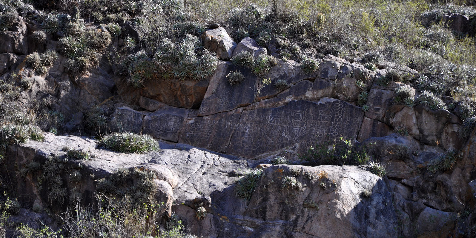
One of the few attractions in Valle Fertil is its Petroglyphs or rock engravings.
They were created by removing part of a rock surface by incising, picking, carving, and abrading.
We follow the instructions to the location, walk around .... but cannot find them.
Well then, let's go back ....
Then Ruedi sees a bench and wonders what for it is placed here.

Sure enough, if one sits on the bench the Petroglyphs are right ahead up in the mountain.
Past Usno we reach Baldecito, where we turn off towards the Parque Provincial Ischigualasto.
Here we are expected by Regine and Walter Müller, Swiss friends of Ruedi's sister Heidi and her husband Peter.
Of course there is a lot to talk about and some routes to exchange.
Regine and Walter tell us that the rains last night had actually caused some problems in the park and that the tours at the moment would only go to a few stations and then turn around as the road is not yet suitable for driving.
As we have time we decide to wait until the full circuit is open again.
In the afternoon the wind picks up.
Even though it is around the 30 °C mark the wind feels cold.
It is also a pain in the bum as the maps and whatever is on the tables gets blown away.
Susi also decides to close the windows as the sand from the camp ground is blown into the camper .... covering all with a fine red sand cover .... not to Susi's liking .....
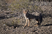
A female zorro gris chico (Patagonian Grey Fox, Pseudalopex gymnocercus) with her three cubs checks out the surroundings of the camp for scraps.
As the sun sets the wind picks up and we have dinner in the OKA.

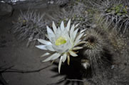
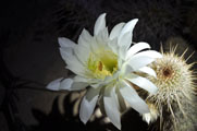
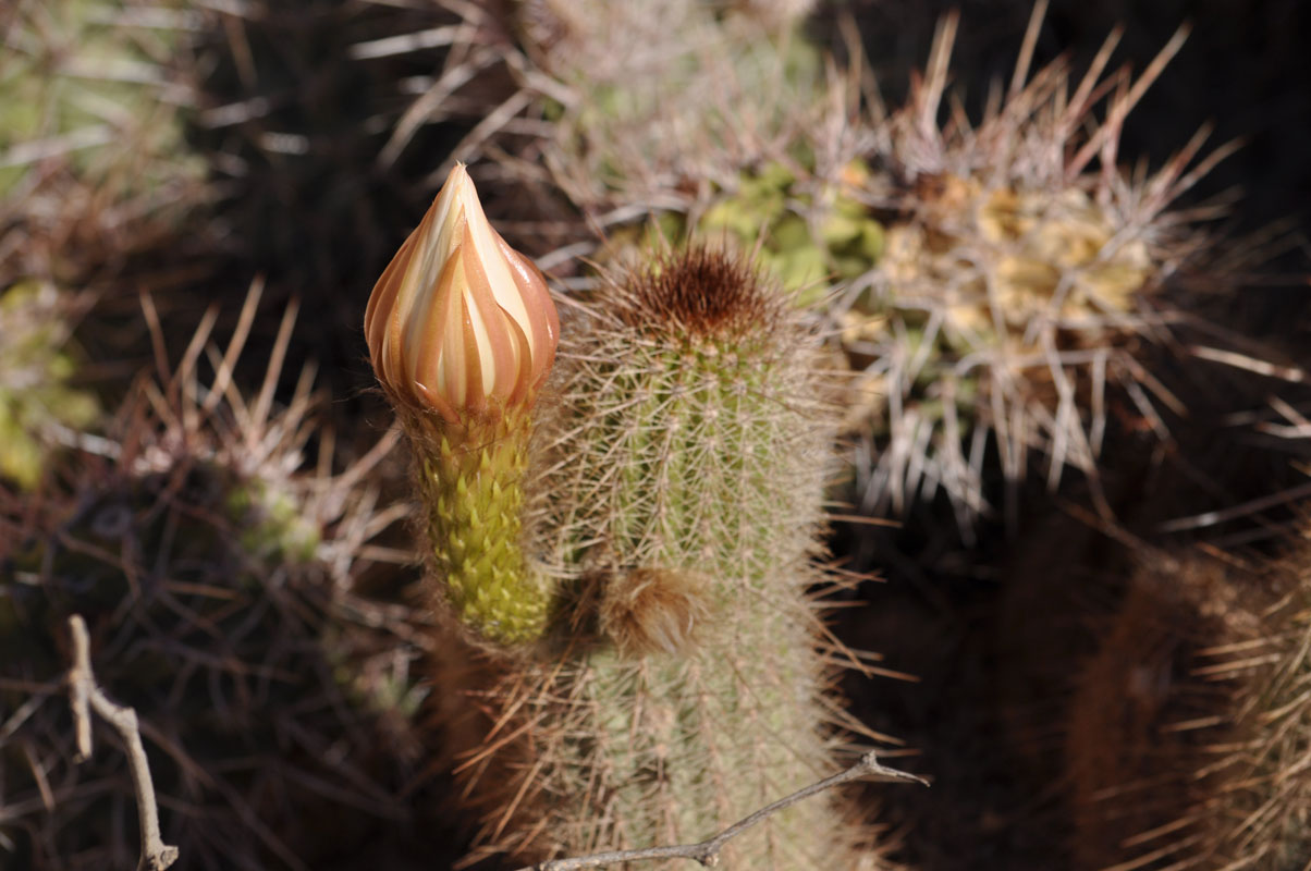
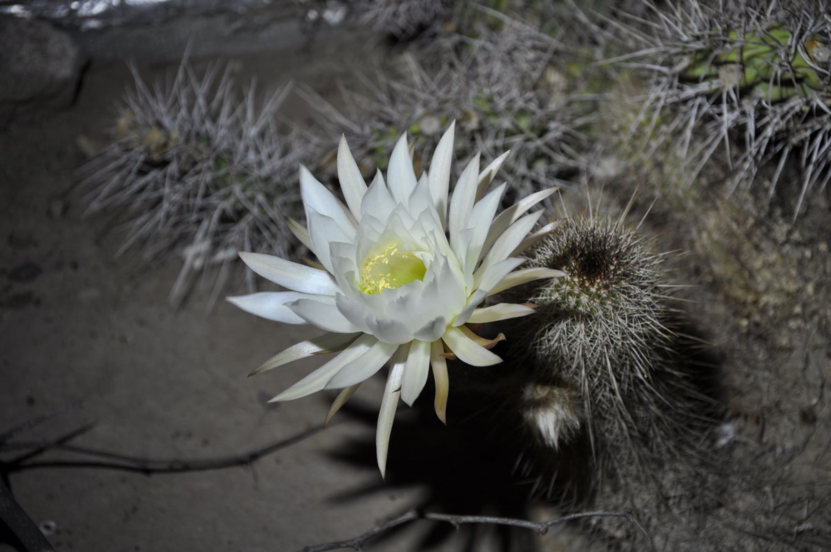
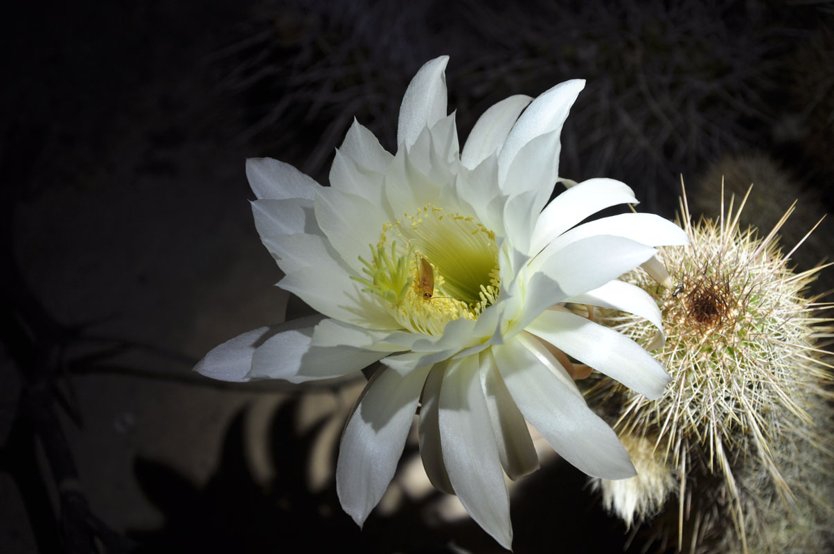
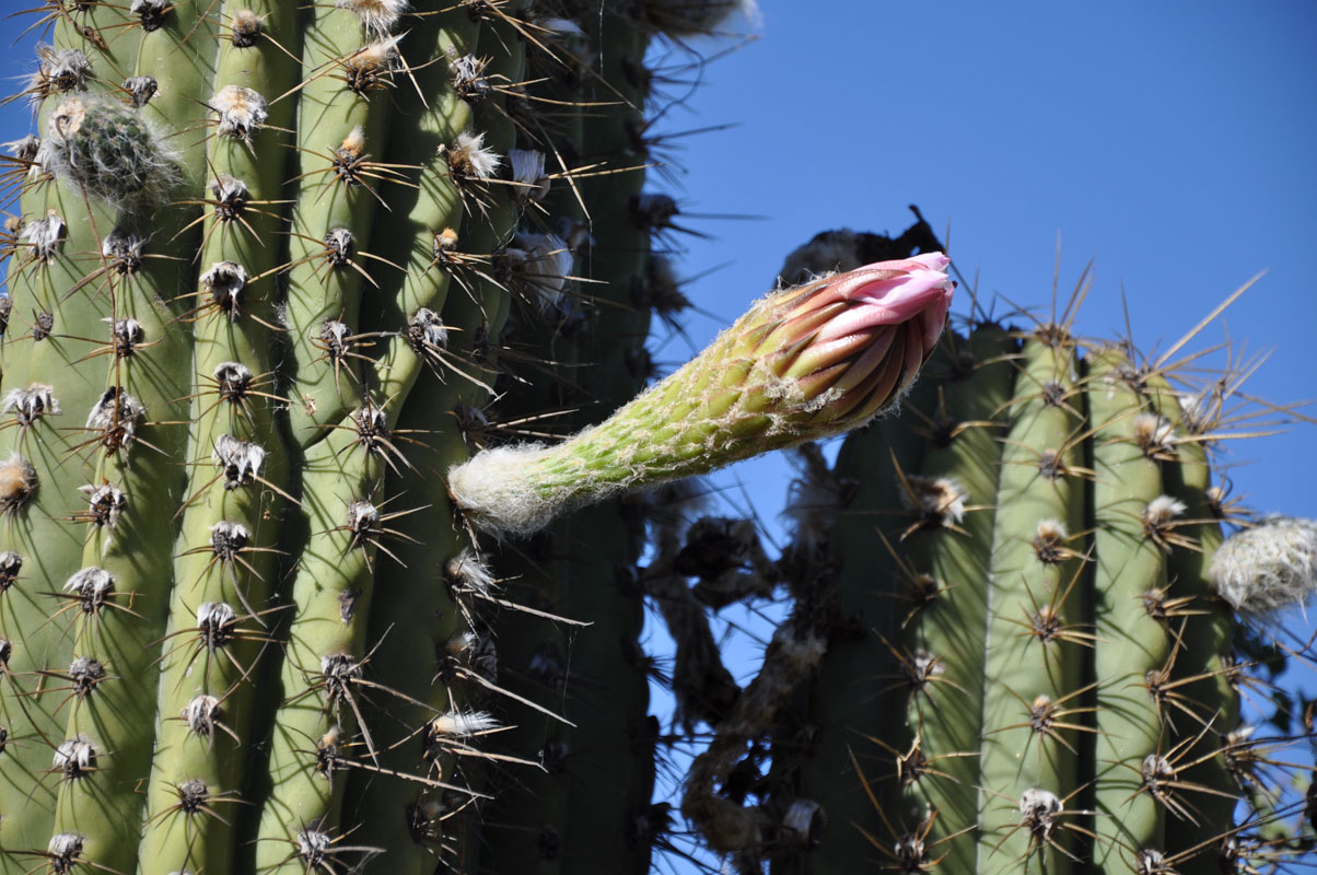
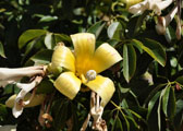
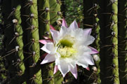
In the evening Susi realises that the cactus at the ladies toilet's entry has a flower that will open soon.
So during the night she gets up to take pictures of the pretty flower.
On Sunday we check with the rangers about the status of the tour .... still closed off ..... so we decide to wait another day.
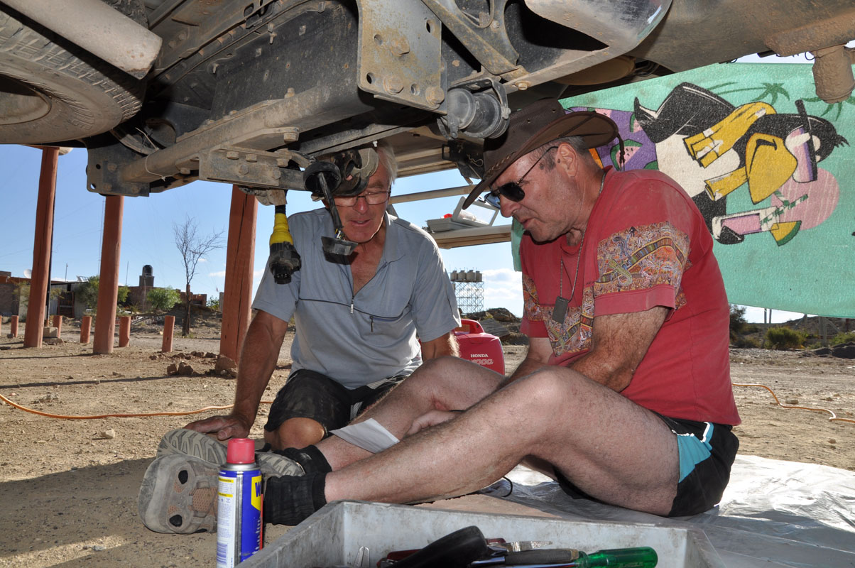
Ruedi gives Walter a hand with finding the fault in his fridge.
Then Walter gives Ruedi a hand with the adjustment of the 4x4-lever.
We still have a problem that the 4x4-lows fall out of gear sometimes.
Ruedi has decided to create a new shifter matrix and now needs the correct setting.
Susi offers apples to Regine and Walter.
Even after giving half of her supplies away she still has at least 2 – 3 kg of them .....
Time flies and already it is too late to go on the tour .... tomorrow .....
On Monday we hear from the rangers that the roads have been fixed and that the full circuit can be visited now.
Francis, our Swiss friend we had visited earlier, writes that it is expected that the decision on the possible Argentinian default will be done before Easter.
The deadline given to Argentina to present an acceptable proposal to pay off the plaintiffs was March 29, which is Easter Friday and a public holiday in many countries.
We decide to stock up on whatever we need so we are ready to leave Argentina to Chile should the situations get out of control.
The next service station is ..... in San Agustin del Valle Fertil, some 70 km south.
We should have filled up when we were there the other day!
Well, we are learning .... we have to go back to the rule that whenever we come past a town with a service station we fill up the tanks no matter how much fuel we require .....
As the weather is not too good anyway we hope that by the time we come back it might have cleared up a bit so we can go on our tour.
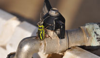
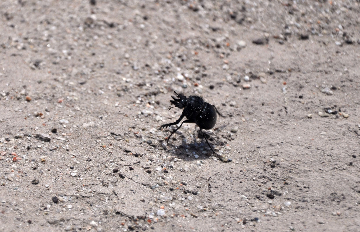
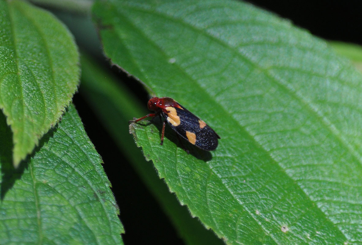
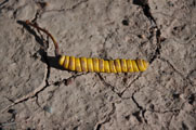
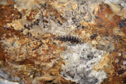
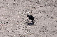
We find this cute little bug on the tap and on the way "into town" we come past some large cacti again.
Sadly the weather does not really get better.
But the weather forecast is worse so we decide to join the tour and visit the valley.
The clouds get thicker and thicker and all the colours disappear ..... We even get into a real little sand storm ..
When the tour guide asks us how we like it we say that we are really disappointed with the weather.
He offers to all that they can re-join the tour tomorrow.
What an offer!
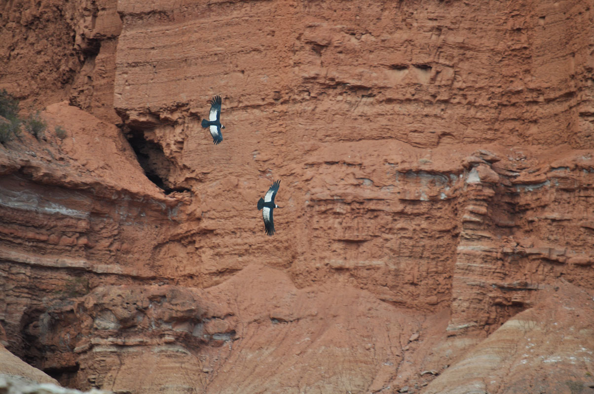
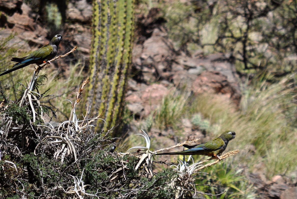
On the way back to the camp we come past some Condors.
Fascinated we watch them glide past the red walls .... effortless as it seems ....
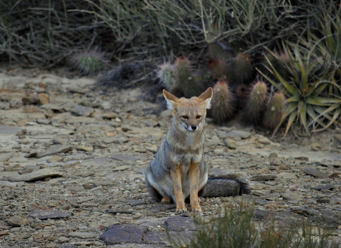
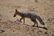
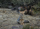
And another cute little fox waits for us at the road side .....
On Tuesday morning the sky is more or less clear but we can see clouds building up again over the Andes.
So we book for the 11 o'clock tour.
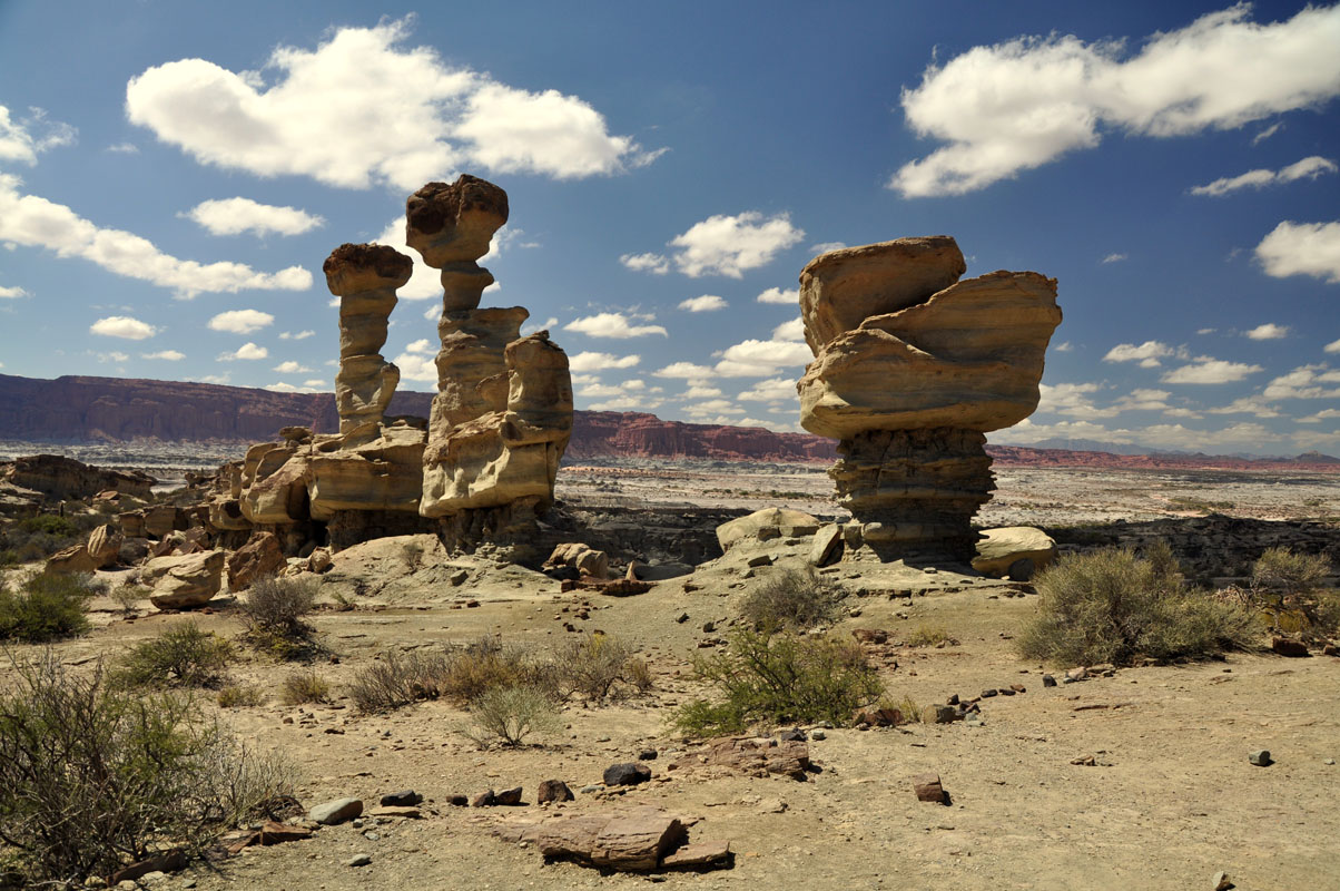
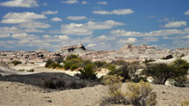
The first stop of the 40 km long circuit through the "Valle de la Luna" or moon valley is called "El Gusano" because it resembles a caterpillar ....
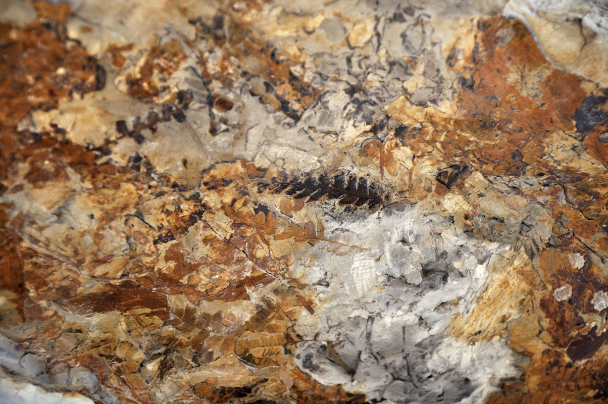
The guide shows us some petrified plants.
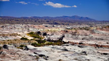
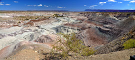
The next stop is the "Valle Pintado", a colourful valley.
In prehistoric times this used to be a feeding point for dinosaur.
In a landslide many of them got caught, died and fossilized.
A large part of this section of the park is closed off to the public as the archaeological excavations have exposed a wealth of fossils (some 180 million years old, from the Triassic period) and are ongoing.
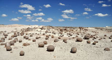
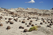
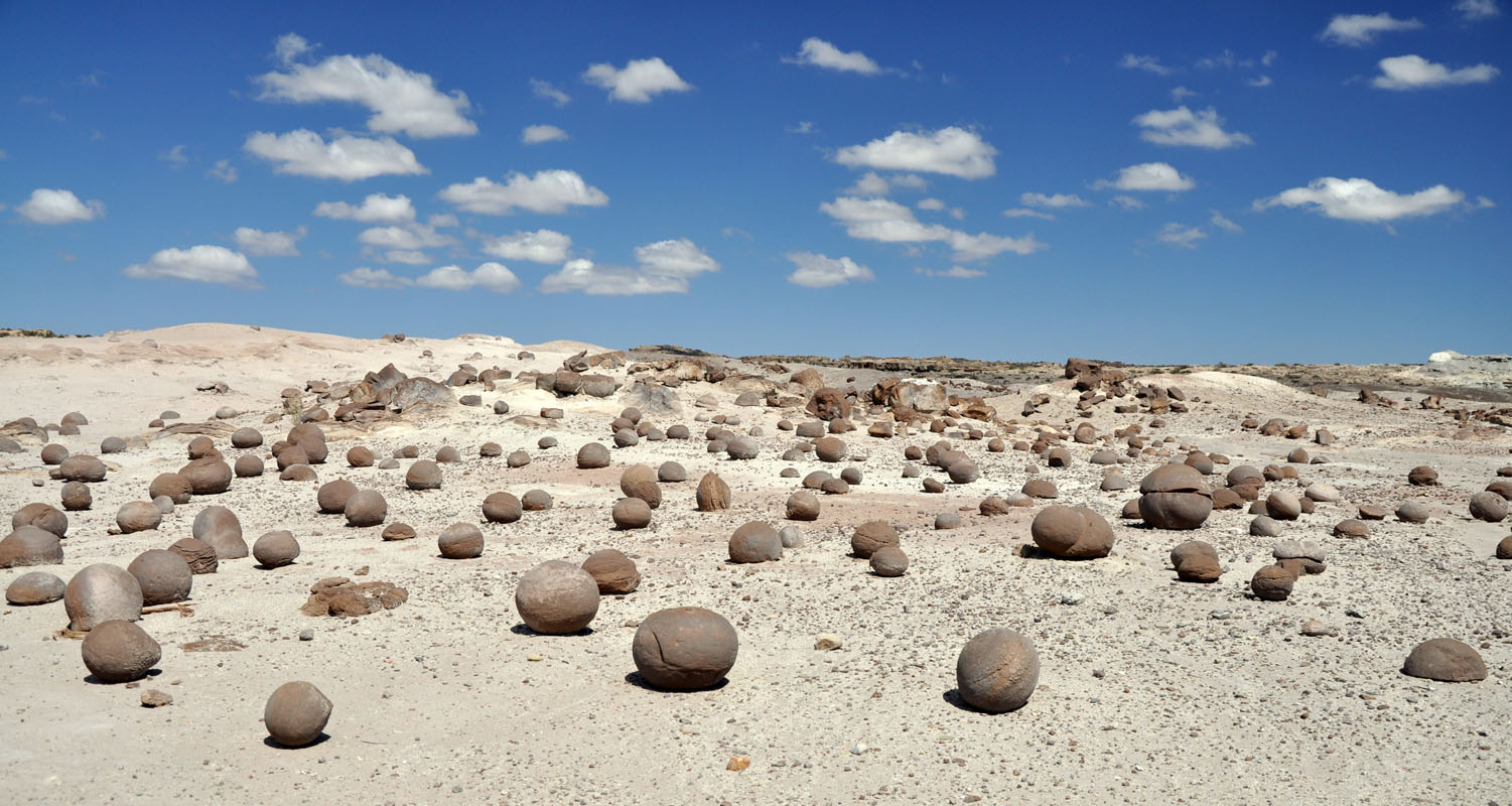
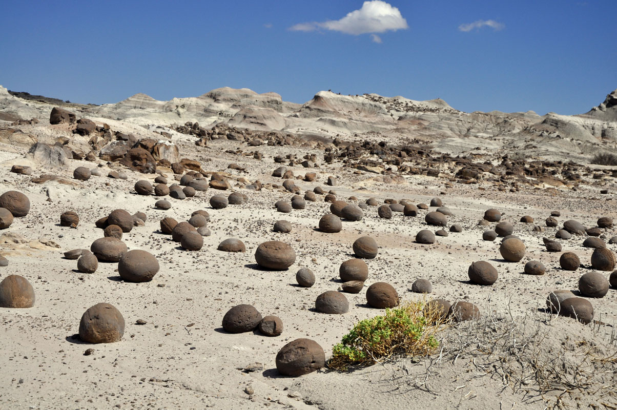
The next stop is called "La Cancha de Bochas", as it resembles the balls used in Italy to play boccia.
Scientists think that these rocks originated from a grain size core of a mineral which adhered other particles forming layers like an onion. Due to their roundness, stones were accumulated in this place - at the lowest terrain - rolling downhill slowly over millions of years.
New balls are uncovered when it rains ..... what is really rare .... except if we are here..
 s
s
The walk there gives the chance to view some more formations created by wind and weather.
As we continue on we come past the Rio Ischigualasto. It is still flowing a bit.
Also later on the other creeks show signs of recent flowing.
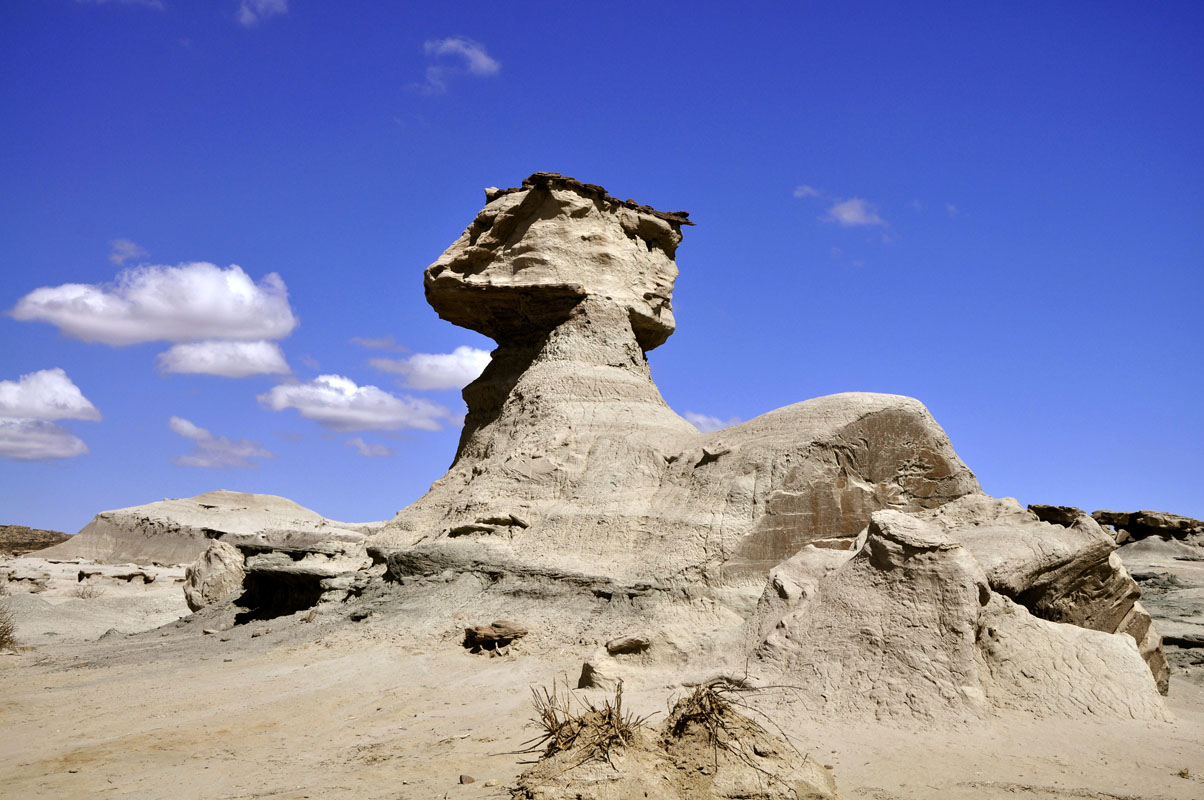
The next stop is "El Submarino", the Submarine.
The two rocks seem to balance on a very narrow base eroded by rain and wind.
As the narrow base is softer than the rocks on top the wind slowly erodes the bottom leaving the rocks on top intact.
One day the force of the weight of the upper rocks will exceed the strength of the columns that support them .....


The last stop is "El Hongo", the mushroom.
From here we have the best view of the formation "Los Colorados" which owes its colour to a high concentration of iron.
On the way back we come past some more pretty examples of water removing different sediments and depositing them where ever it feels like ....

The interesting thing about this place is that one can see the contrast of colours and the different meanings of each of them:
black = carbon
yellow = sulphur
green = copper
white = calk
grey = volcanic ash
red = iron

One more pretty setting and we are back at the camping where work is waiting ....


Walter has an electrical problem.
When he steps on his breaks the white reverse lights come up instead of the brake lights.
It looks like a problem with earth .....
We get new neighbours from Holland.
They tell us that they could not get any fuel in the next two towns up north, Villa Union and Nonogasta.
These news make us a bit nervous but as we are well prepared we decide to sit out whatever comes in the National Park.

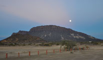
After a nice sunset a full moon comes up behind the Cerro Morado ....
After having worked on the electrical fault all Wednesday and Thursday Walter and Regine decide to leave the park and start driving toward the Uruguayan border.
They will return to Switzerland in May and have to be in Uruguay to store their vehicle.
We stay on and pass the day with work on the PC and keeping an eye on the Argentinian default situation .....
On Friday afternoon the camp gets really busy.
More and more people arrive.
We also get a new neighbour, a man with his 3 youngsters.
The wind is pretty strong and it is interesting to see them setting up a large tent.
But after more than an hour they finally mange to get it done.
Luckily the rangers had only just extended the camp a few days ago so there is enough space for all of the campers.
And they really behave good, not much noise .....
We have a good spot and can watch what is happening in the visitor area.
There are double-decker busses arriving and we wonder how they will get through the rivers .... but it seems to be no problem.
They are sent on the circuit at least 30 minutes ahead of the regular tour and all seems to go ahead in an orderly manner.
The whole thing seems to be well organised!
With all the day visitors they have some 2000 people per day. They added extra staff on duty and even an ambulance is ready for whatever may occur.
Once again we are impressed.
In the evening we can read that Argentina has filed the much-anticipated payment plan late Friday with a U.S. court.
Now it is up to them to rule on whether Argentina has the legal obligation to give equal treatment to both creditors suing for full repayment on defaulted bonds dating back to 2001 and those who accepted debt exchanges.
The landmark case might not only push Argentina into a new default, but also could set a precedent for sovereign-debt restructurings around the world.
On Saturday we see our neighbour drive away.
In the afternoon a strong storm develops.
We measure at least 64 km/h average wind speeds.
After a while we can see how the tent of the neighbour starts folding.
The pegs are not strong enough and one after the other is pulled out of the sand.
We have to act.
We get our own strong pegs and ropes and start stabilizing the tent.
In the evening the family comes back and the father wonders who has fixed his tent.
He is so happy that he brings us two bottle of vine as thank-you.
The storm brings some hot air and it stays hot very long in the evening.
On Easter Sunday we wake up to clouds .....
It is cool and the wind now comes from Chile, over the Andes.
Later on it actually starts drizzling ......
On the internet we see a severe weather warning for Buenos Aires ..... Later on we hear that the heavy rains had hit the province of Buenos Aires have left at least 35 people dead and thousands homeless ......
Being Easter Sunday we will try a first and skype with Ruedi's parents.
We had tested the connection with Ruedi's brother in law.
Now it was time to surprise the parents with it.
Mother didn't think twice, just enjoyed it ..... father wanted to know how it worked ..... we had good fun.
In the afternoon our neighbour leaves, but not before giving us a strong rope and a 12V rechargeable LED-torch.
He also invites us to his home should we pass Buenos Aires.
He must have been very happy we saved his tent.
Monday goes past ..... nothing happens regarding the default situation as it is a holiday in the US.
On Tuesday most people have gone again and peace and quiet have returned to the camping.
Still no news on the default situation ......
On Wednesday we finish our website with the first trip journal of our South American trip.
There are still no news on the default ..... we decide to ignore it and continue with our trip.
Should something happen we will hear it for certain.

On Thursday, April 4, after a cold night with only 3.5°C, we leave the Parque Provincial Ischigualasto towards the Parque Nacional Talampaya, some 93 km away.

It is a cloudless morning and the views are great.
It seems that the bad weather on the weekend has dropped some snow on the high peaks ....
We reach the Parque Nacional Talampaya and stop for the tour to the Cañon Arco Iris.
With a small bus we are taken to the canyon some 30 km away.
The driver explains that this area is still very active.
They have a mountain that rises 1 – 1.5 cm per year!!!
On the way we see some Maras (Patagonian Hares, Dolichotis patagonum) with young ones.
The colours of the rocks are very pretty.
Susi is very busy taking pictures and cannot decide which ones to delete so please bear with her and just enjoy the next sections with her pictures .....


We reach the canyon and hike into it.


We just go from "Wow!" to "Look!" .....
We have seen a lot but this is just too good!
Not only the walls are great, also the many different rocks are amazing.

Over and over the colours and patterns change.

It is also interesting to see how the folding of the Andes has changed things .....


... created patterns ....
.... the wind and weather have formed it ....
The temperature reaches 27°C and it is quite warm in the canyon.
We wonder how they manage in summer with temperature around the 50°C mark .....

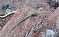
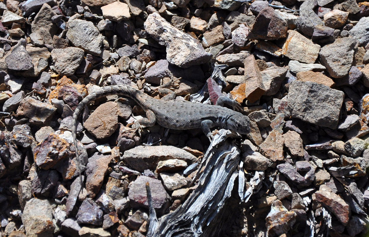
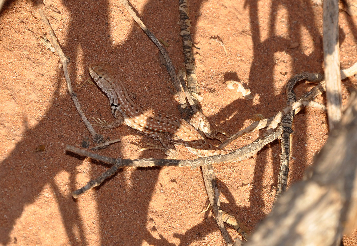
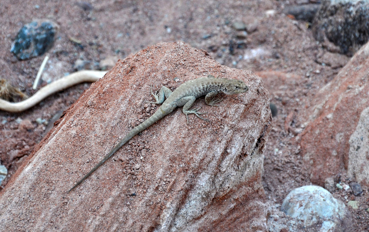
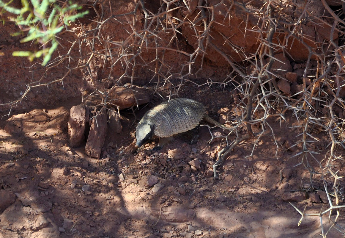
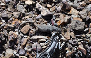
On the way back we see some lizards and a screaming hairy armadillo (Chaetophractus vellerosus).
Armadillo means "little armoured one" in Spanish.
We continue on to the main entrance of the park and enquire about the other attractions of the Parque Nacional Talampaya: the "Puerta de Talampaya" (Gate of Talampaya) entrance to the canyon.
Here visitors are not allowed to use their own vehicles and we don't fancy going organised so we leave it.
We have already seen large red walls in the Parque Provincial Ischigualasto ..... maybe next time .....
So we stay at the campground for the night and enjoy a large cold beer after a hot and eventful day.
Salud!
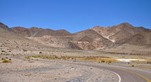
On Friday morning we continue on to Pagancillo.
At the entrance we are stopped ..... quarantine .....
We have to peal all apples and leave the apple core and the peals in the special bin.
We even find one caterpillar in our "biological" fruits .....
We take the RT 18 (gravel) to cross over to the RN 40 and head east.
In Puerto Alegre we see the quarantine station for the other direction ..... it is good to know where the stations are .....
Then the road starts climbing into the Sierra de Sanogasta.
This is the back side of the Parque Nacional Talampaya and we can see many pretty red coloured formations.
As we climb up into the mountains we come past a "collection" of saint shrines.
The RN 40 is being rebuilt.
Then we reach the old section ...... interesting .....
We pass the highest point and drive down into a nice valley.
We reach Nonogasta.
The YPF has fuel again .... looks like it was a shortage over Easter ....
(Later on we read that one of the main refineries had burned down causing a shortage of fuel in Argentina ....)
We stay on the RT 40 and head north to Chilecito past the Sierra de Famatina.
We reach the town shortly after 12 o'clock ..... Siesta time ......
Luckily a small store still has open and a butcher re-opens especially for us.
Then we try the internet ...... it is so bad that we cannot even get a connections with our Argentinian SIM from Personal.
It might be cheap (1 peso per day for unlimited internet and local calls) but it also has its flaws:
No internet over siesta time when everybody is using the phone....
It is hot and we don't feel like waiting until the coffee shop with WiFi at the bus terminal opens so we decide to leave the town and head into the mountains again.
We choose the RP 78 or ex-RN-40.
The road is still in good condition and the drive through the prosperous valley with its grapes and walnut trees is very nice.
The road climbs and climbs.
Then we reach the Cuesta La Aguadita, the highest point.
On the other side of the small pass we find a track that leads off the road towards the dry river bed .... ideal for us to stay for a day and work a bit on our web page.
On Sunday we continue in northerly direction on the old RN 40.
The valley is green and not as sandy as before.
Either it has rained in the mountains or the snow that had fallen on Easter is melting.
Some rivers are flowing a bit and we can see how much dirt and rocks are carried along with the water.
The road leads through small villages.
Shortly after Santa Cruz the bitumen ends and gravel starts.
The GPS shows it wrong the Reise Know-How map is a bit more accurate .....

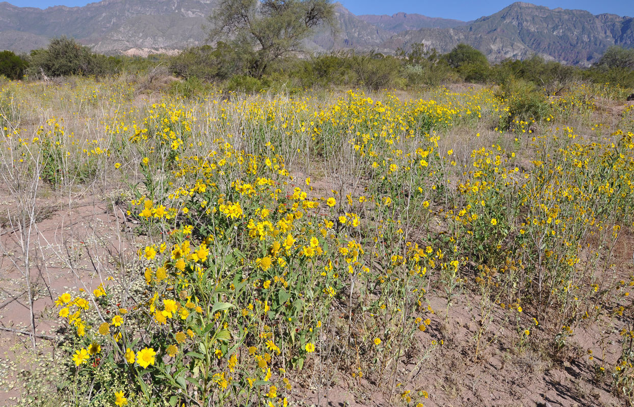
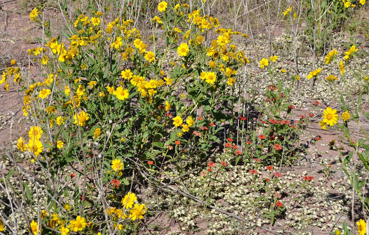
Flowers bloom.
After Costa de Reyes the bitumen starts again but many level crossings are covered with sand and stones and have to be passed with care.
We climb into the mountains again.
In Tinogasta we reach the RN 60 and head west.
Large olive trees grow on both sides of the road, the factories to process them are right beside it.
Then the country changes to a rocky desert ..... looks like boulder pavement.
The wind blows sand up the hills converting hillsides to dunes.
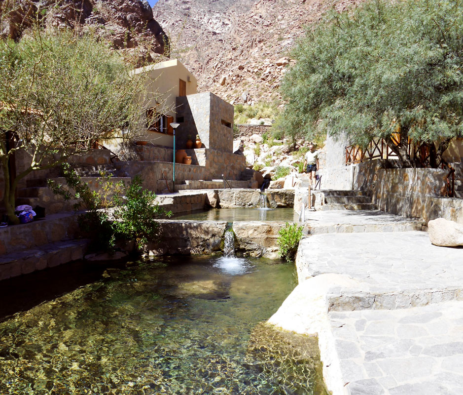
In Fiambalá we deviate towards the Termas de Fiambalá.
Judging by all the gravel on the road and the piles beside the road if it rains here a lot of debris comes with the water ..... and it looks like a lot of water comes too!


We reach the Termas de Fiambalá and settle down in the parking that also serves as camping.
Later on we inspect the Termas and enjoy the different pools.
It is a well maintained set-up and a real pleasure to soak in the different temperatures of water.
It is a shame that there is no internet reception up here.
It would be an ideal place for a bit of a break ....
On Monday after a last swim we leave the Termas and head into Fiambalá for some shopping. The GPS is not of much help with regards of displaying shopping possibilities but luckily at the central plaza there is a well-stocked small supermercado.
Then we leave the RT 40 and continue in northerly direction on the RP 34.
The road is a good bitumen road.
As soon as the last houses of Fiambalá have past the country turns into a desert again.
We get a good view of the Dunas de Fiambalá.
We pass Saujil, a small village, and again are surprised of the cleanliness of these people.
The bitumen goes until just before Palo Blanco where it turns to a good gravel road.
We drive through the small village and just as we reach the last few houses we are flagged down by a lady.
She tells us that she is the teacher of the tiny town of Las Papas, some 45 km away from here and has been left behind by her party by mistake and asks for a ride.
As there is no public transport to Las Papas and not much traffic goes her way we probably are her only chance to make it home in the next few hours if not days ....
We are not really equipped for passengers and 45 km is too long for one of us to sit on the motor .....
But we decide to give her a lift anyway.
As Ruedi does not speak Spanish he will go to the back and travel there while Susi will have to drive.
The teacher's name is Mirta (Susi's middle name is Myrta too ..... Different writing though .....).
The teacher tells Susi that she has been in Las Papas for the last 6 months and recons that she can show Susi the way there.
She has 10 pupils and the village has some 60 inhabitants ..... but she loves it and hopes to retire there.
In Punta del Agua she guides Susi off the main track and through the village.
Susi has to cross a few small creeks and a river .... then we reach the end of track ..... dead end .....
So we head back and ask for directions.
Mirta had used the wrong turn-off!
Ok, we head back through the river and the creeks and follow the main track for a few km more.
Then we have to cross a large river, the Rio Las Papas.
At the end of it Mirta points to a small track that follows the river upstream.
This is the way to Las Papas ......
Are you sure ......?
Yes!
Ok, Susi takes the OKA onto the track.
First all goes well .... then the river has to be crossed a few times .....
As the valley gets narrower and narrower the river crossings get deeper and deeper.
Susi is not used to tracks like this and not having Ruedi on the side to advice on how to drive things does not help either.
So after the first few crossing she decides that it is time for the low gears .... then it is time to put the lockers in ..... and after the 8. crossing she gets on the walky-talky and tell Ruedi that it is time for him to start driving .....
Ruedi takes over with a broad grin on his face.
More and more it becomes a bumpy ride for Susi in the back .....
Then Ruedi stops the OKA and tell her that is it photo-time.
The drive up the river is such a pretty view and with Susi being in the back nobody takes photos of it.
The track is not wide enough to leave the blinds open so Susi could take pictures out the windows.
So here the few pictures we have form Rio Las Papas.


We are considering to drive the track again next year as it is such a nice trip.
Anyway, the 45 km take us more than 2 hours ......
Mirta tells us that she counted 20 major river crossings and over all the tyres got wet some 144 times ....
We reach Las Papas and drop Mirta.
It would have been nice to stay for the night but Mirta says that the town's administrator would charge us money for the stay and she recons that this is not correct.
So we decide to continue on towards Antofagasta de la Sierra.
Mirta confirms that this is the way to get there and there are really some signs pointing towards a small track that leads uphill.
As we leave the town a man wants to sell us bread .... one pan Caser for 20 pesos .....
Susi knows that the last one we had bought in the shops had cost 3 pesos .....
She tells him that he should get her a better price.
He offers 2 breads for 10 pesos ..... so we take them.
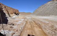
We cross the river a last time and start climbing the steep track.
It has many curves and climbs and climbs and climbs ..... in just 3 km we climb from 2'675 m to 3'000 m above sea level.
We are now in the Cordillera de San Buenaventura.
The track now stays at the same altitude and we travel further into the mountains.

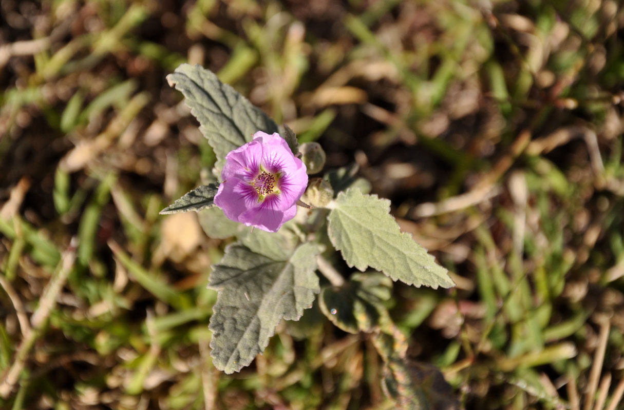
The views are very pretty and Susi also spots some interesting flowers.


The track now slowly climbs to nearly 3'700 m above sea level.
Ruedi doesn't trust the weather and wants to continue on as long as we can.
It would be a bad idea to get caught on this small track with rain.
Fortunately the 4W-lows worked fine the whole day. No more falling out of gear since Ruedi produced a correctly adjusted shifter matrix.
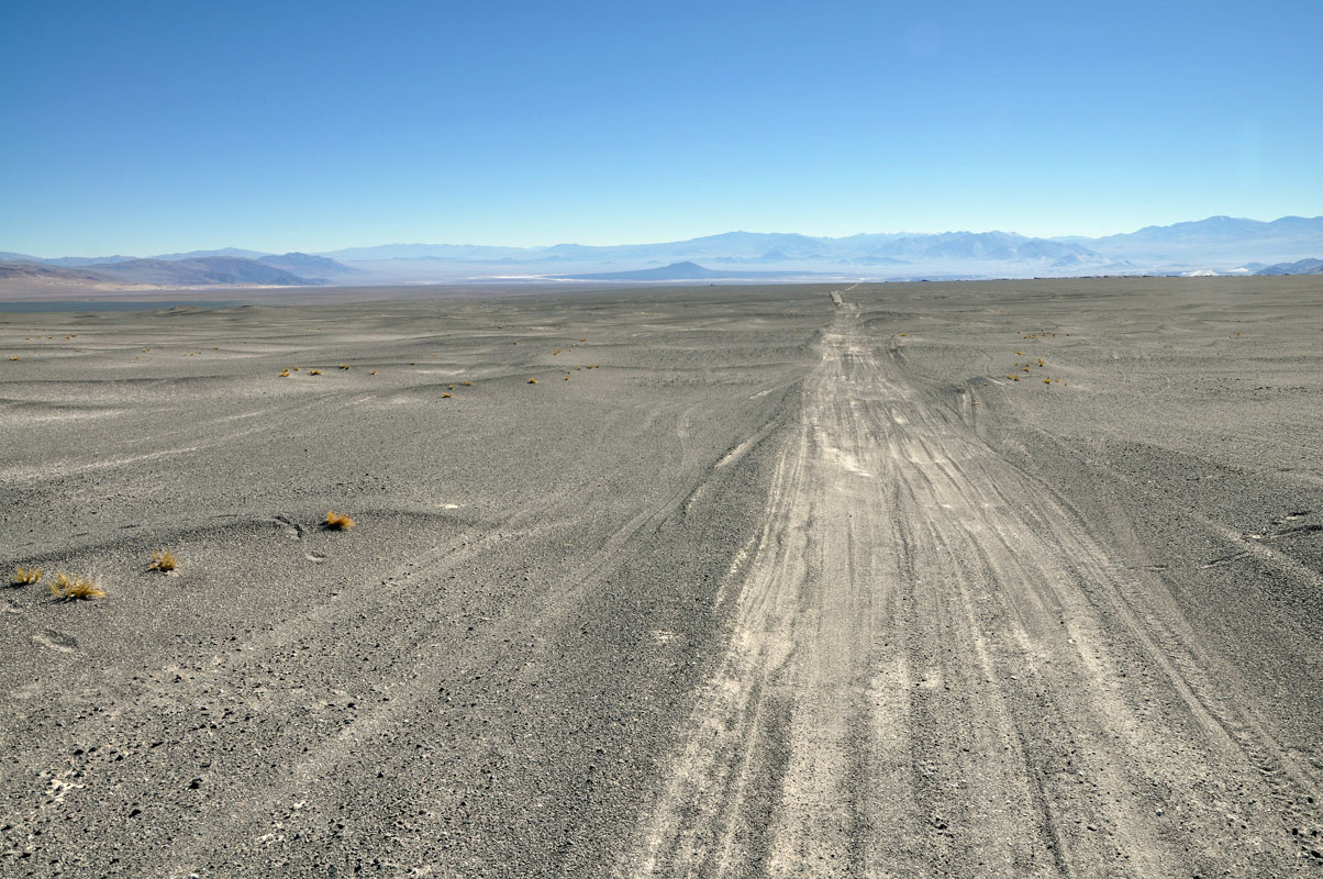
Then we reach the altiplano (high tableland).
The ground turns to sand and the valley gets wide.
We are now at almost 4'000 m above sea level.
The OKA goes slow but steady.
To see if the fuel makes much difference we change the tanks to EuroDiesel, the best fuel we had been able to buy so far.
We continue on until it gets dark.
As soon as the sun goes down so does the temperature ..... by 7 PM we only have 6 °C ..... this could get cold .....
We try the heater but are not really surprised that it does not start at this height.
We will have to find a solution to this.
Well, the cabin is still warm and we have warm blankets with us.
Ruedi tries to find a spot where the morning sun will shine on the diesel tanks to warm them up and help the OKA to start .... with the heater not working there will be no pre-heating of the engine tomorrow morning either .....
During the night Susi has problems with the altitude and the lack of oxygen.
Besides a slight head-ache she has breathing problems.
But with slow and concentrated breathing it can be handled.
Conclusion for her:
Climbing from Fiambalá with its 1'990 m to almost 3'900 m above sea level was too quick for us. It is recommended not to change more than 1'000 meters per day.
We will have to adjust to the height a bit slower next time.
One other problem that we have is that the Wallas diesel cooker for whatever reason has decided to drip diesel all over the inside of the cabinet where it is installed.
This means that we cannot use the Wallas cooker to prepare dinner.
Luckily we had already made preparations for this in Europe and bought an electrical inverter plate and the corresponding pans.
So we have no problem with the preparation of dinner.
The smell in the cabin is incredible and does not help with Susi's head-ache either.
It also forces us to open the windows every few hours and exchange the air in the cabin.
And this does not help much with conserving the heat in the cabin .....
On the other hand after exchanging the air the oxygen level is much higher and breathing becomes easier.
Anyway, it is not the most relaxing night we have had recently ..... a very long and dark night .....
During the night the temperature outside drops to – 4°C and inside the cabin to 10 °C.
So on Tuesday morning we impatiently wait for the sun to get up and heat our cabin ..... and wait ..... and wait .....
Even though it is daylight outside we still see no sunshine!
When we check what the reason is we find out that we must have gotten our orientation wrong yesterday when we figured out where the sun raises ...... We actually managed to park the OKA exactly behind a mountain peak ..... the only one around ....
So Ruedi checks again how he must figure out how to park the OKA .....

As it is too cold for breakfast we decide to drive for a while and let the floor heating warm up the cabin.
The OKA has no problem to start but it is obvious that the engine does not like it too much .....

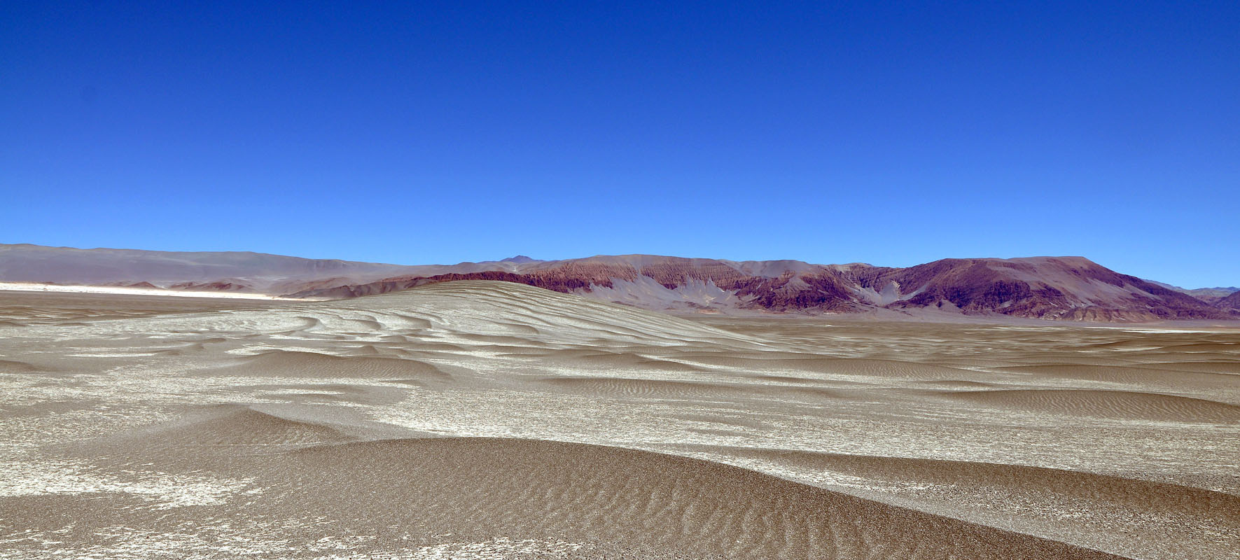
We follow the track trough this moon-scape and climb further until we reach 4'300 m above sea level.
It is very pretty but the wind blows constantly and erodes the mountains creating some dunes.
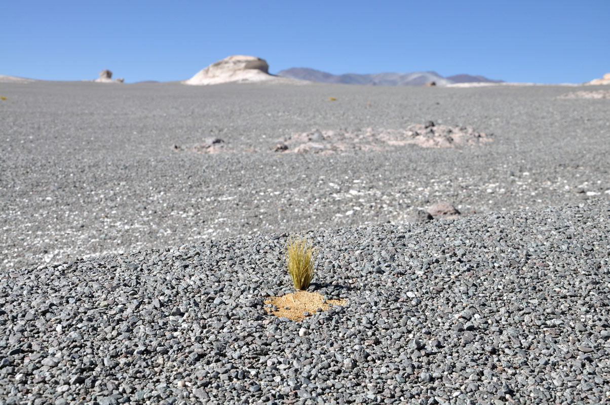
Just a bit of grass grows in some protected areas.
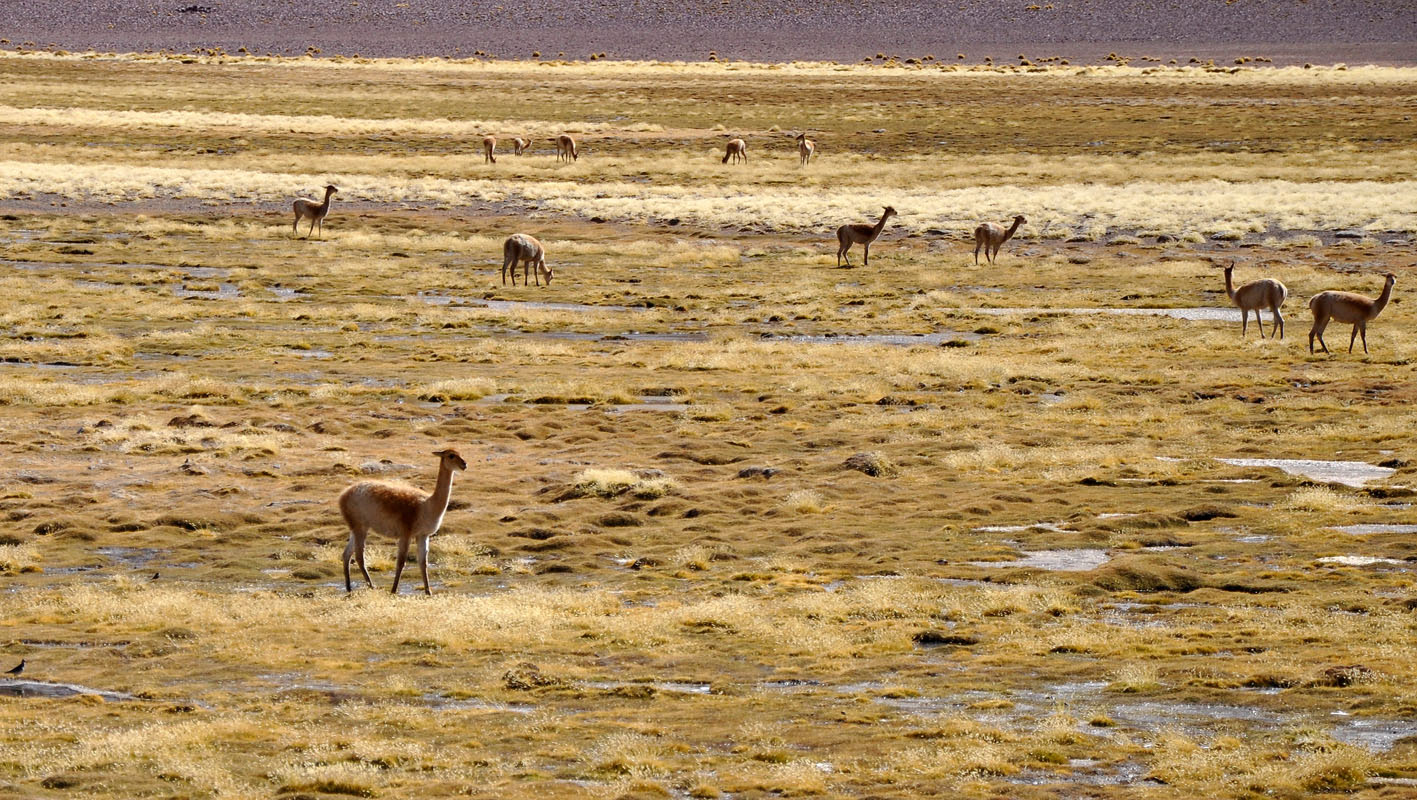
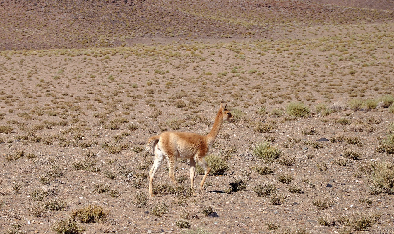
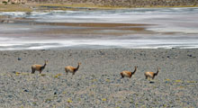
There is not much that lives up here one would think .... but we see a few groups of guanacos!

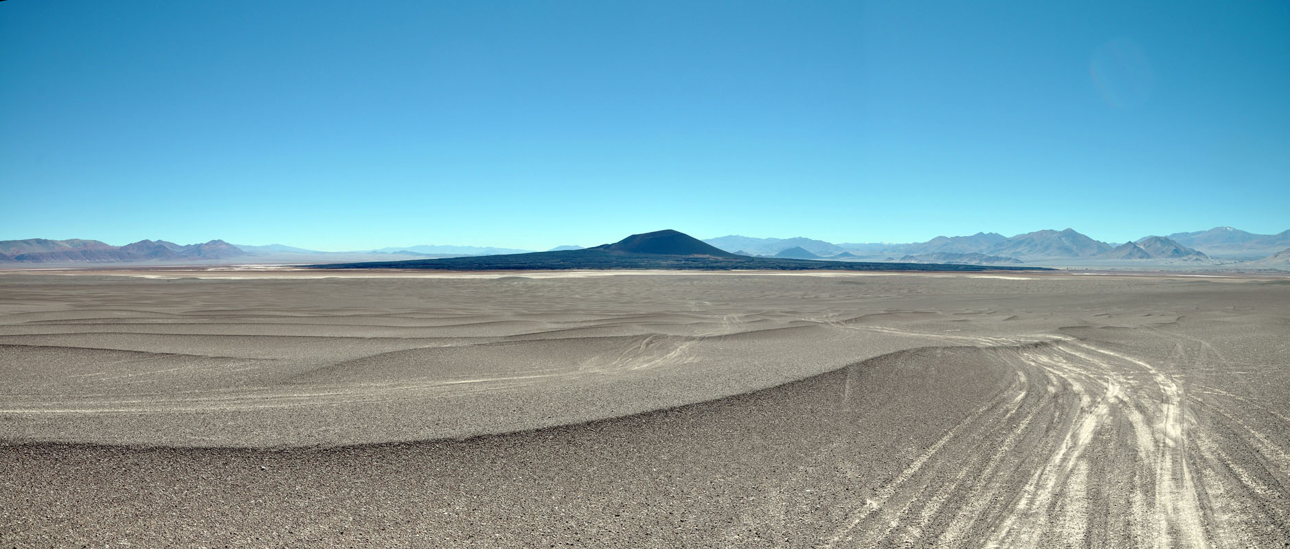
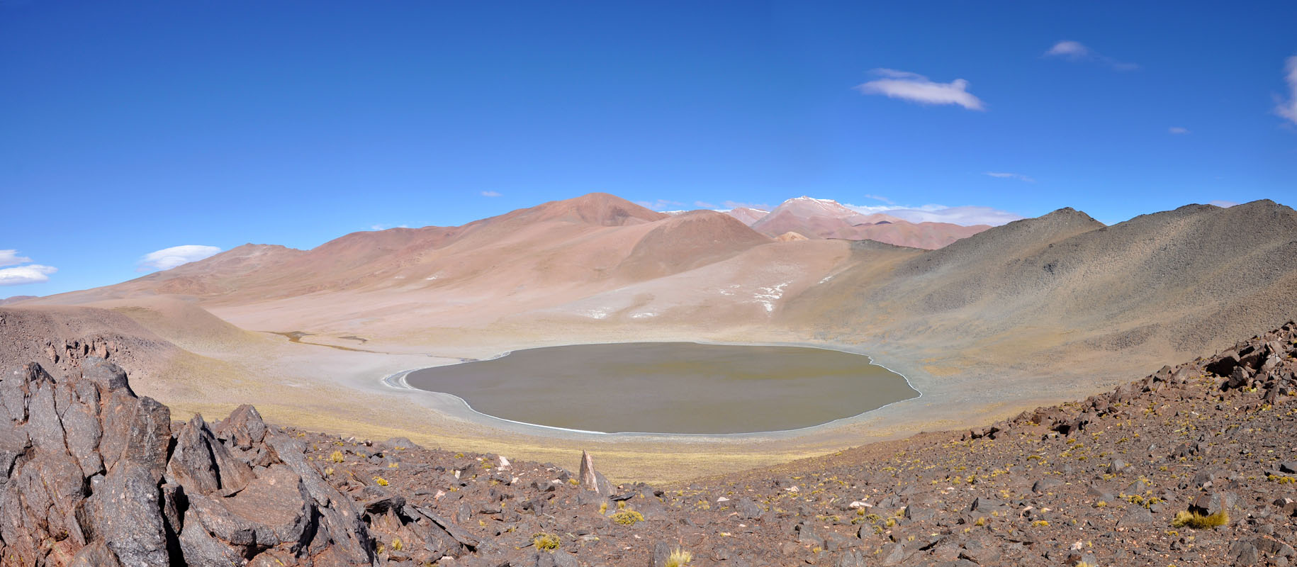
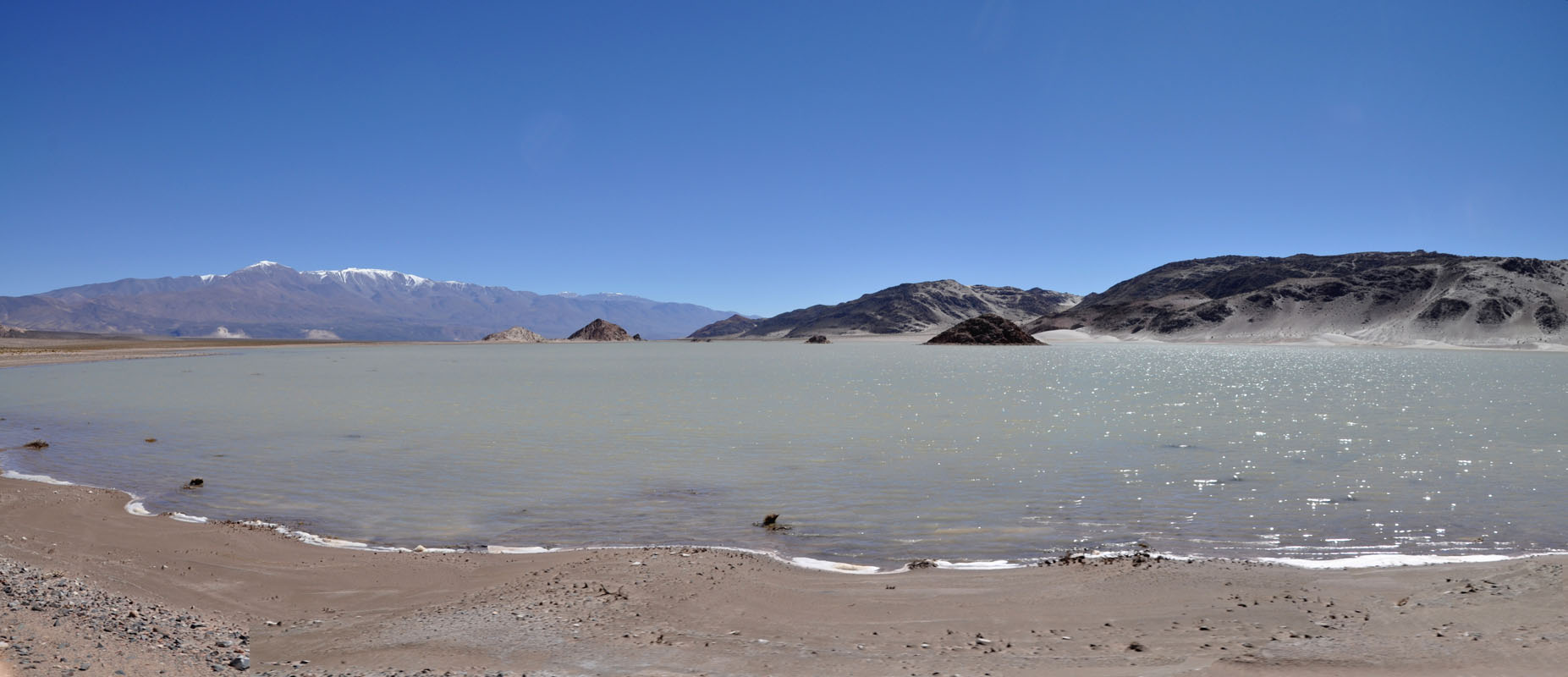
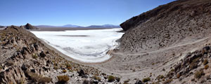
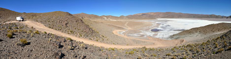
Then the track starts descending towards a valley with a dark mountain in the middle of a white salt lake.
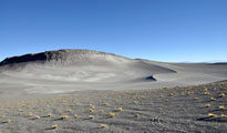
We come past some interesting formations, the Campo de Piedra Pomez.
Here too nature tries to get a stronghold .... but it is difficult .....
The constant wind blowing sand against the formations slowly but surely erodes them leaving some interesting structures ..... and a lot of gravel .....
It is also interesting to see how the rocks change colour from the red oxidised surface to .....
the white eroded sections to .....
the grey gravel to
the white sand dunes .....
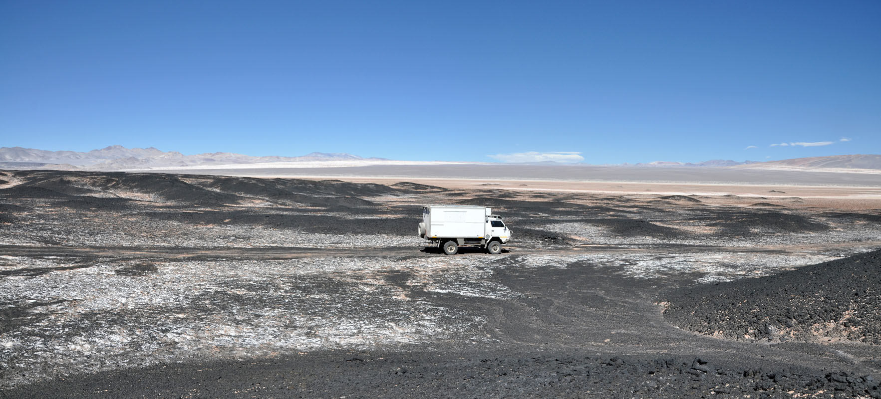
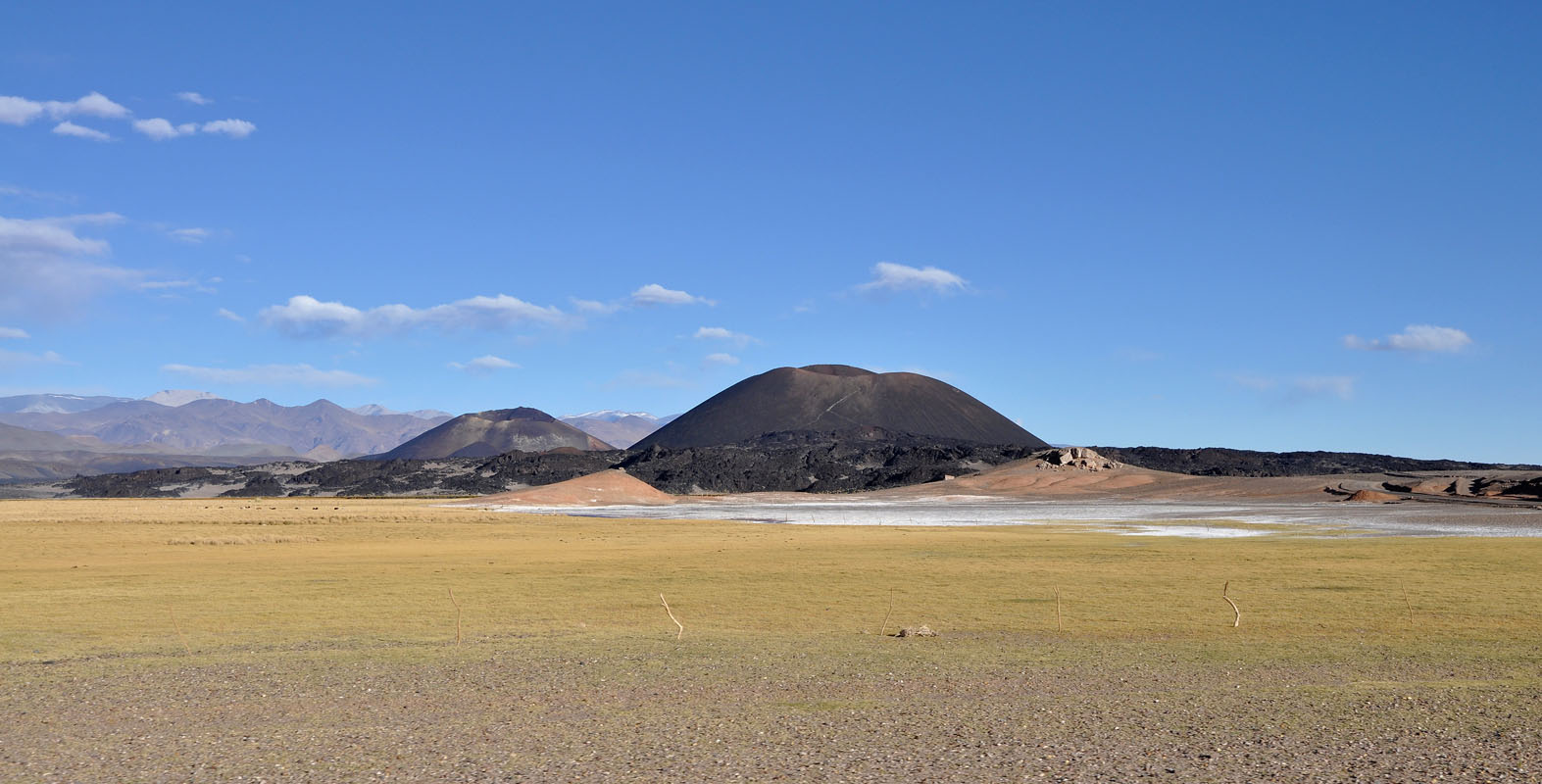
We drive further down into the valley and decide to try to get to the black mountain, Vulcano Carachi as we can see on the GPS.
For this we have to cross a field of dunes.
Luckily they are made of gravel and easy to cross.
By now we have already descended 1'000 m and reached 3'000 m above sea level again.
The head-ache is gone and breathing is heaps easier.
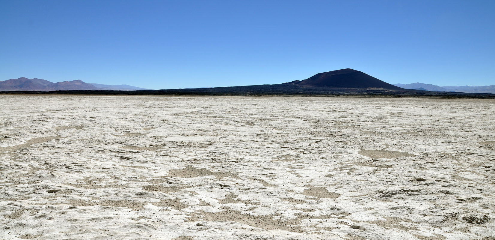
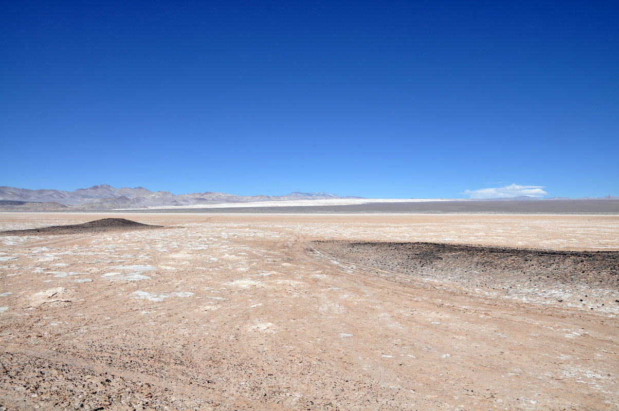
We reach the border of the dry salar (salt lake) and wonder if it will be dry enough to hold the OKA's weight ....?
The surface is so hard that we dare to cross it following the tracks of other vehicles that have previously past it.
Without a problem we reach the other side.
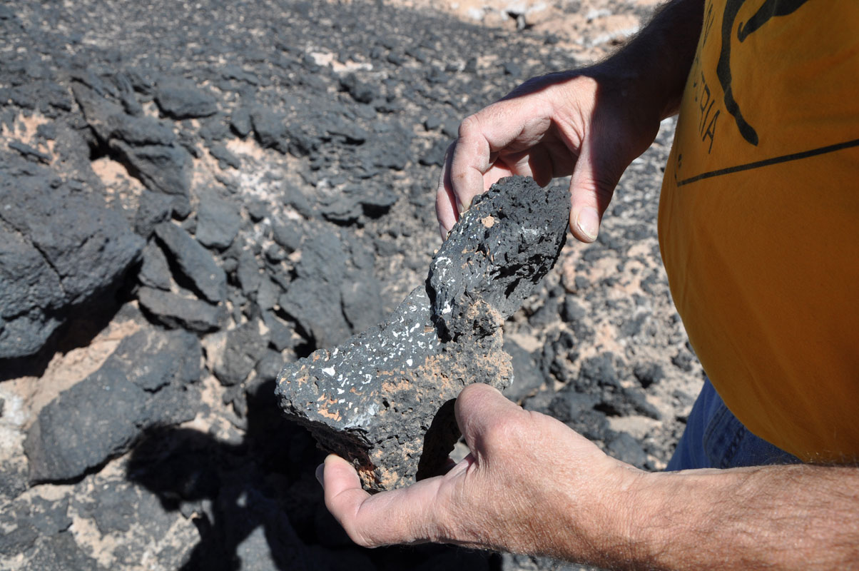
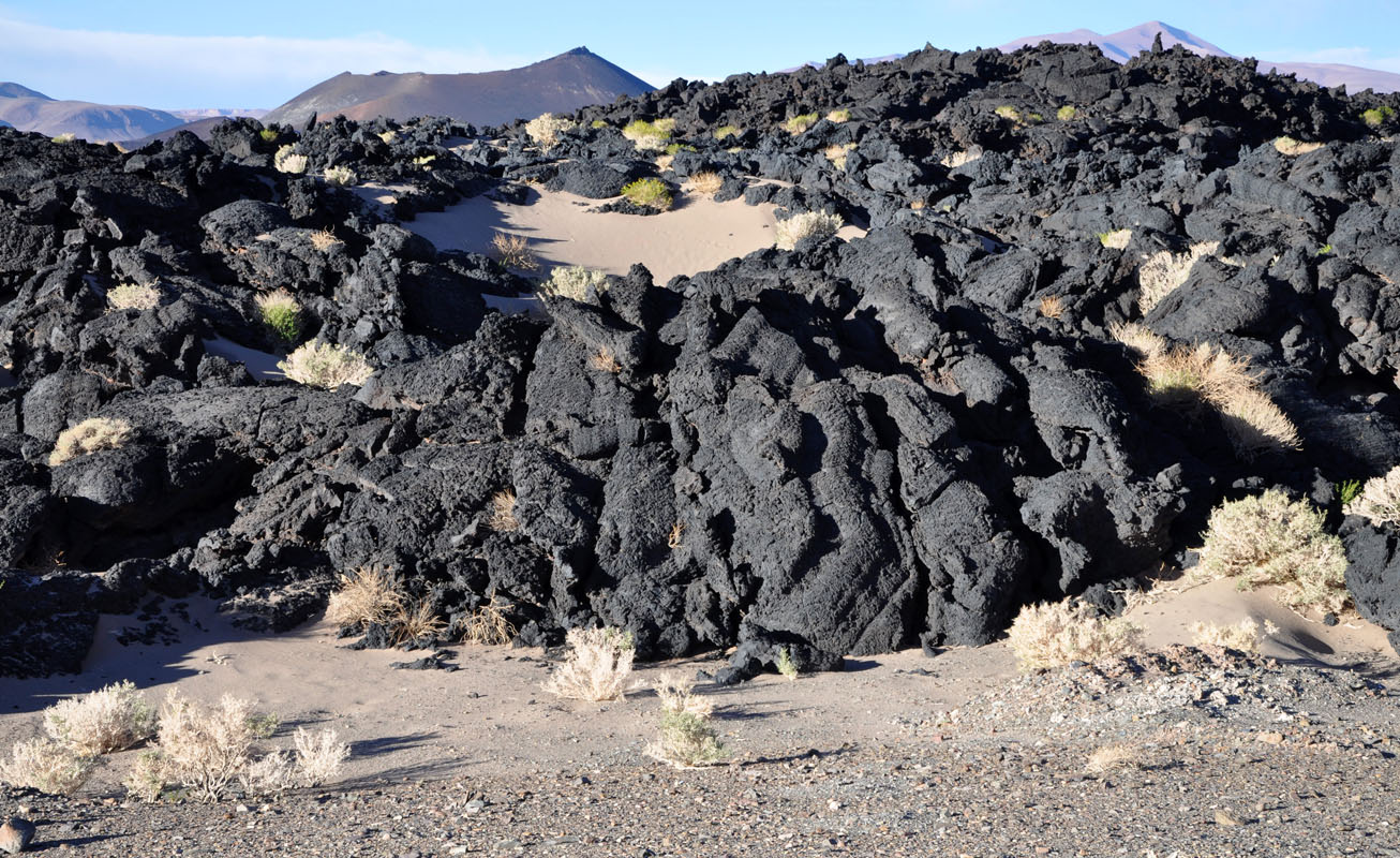
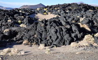
The black area reminds us of ABC point at Lake Eyre in Australia.
It looks like somebody has torched the whole area.
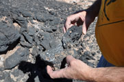
The black stuff is cold lava.
It is very light.
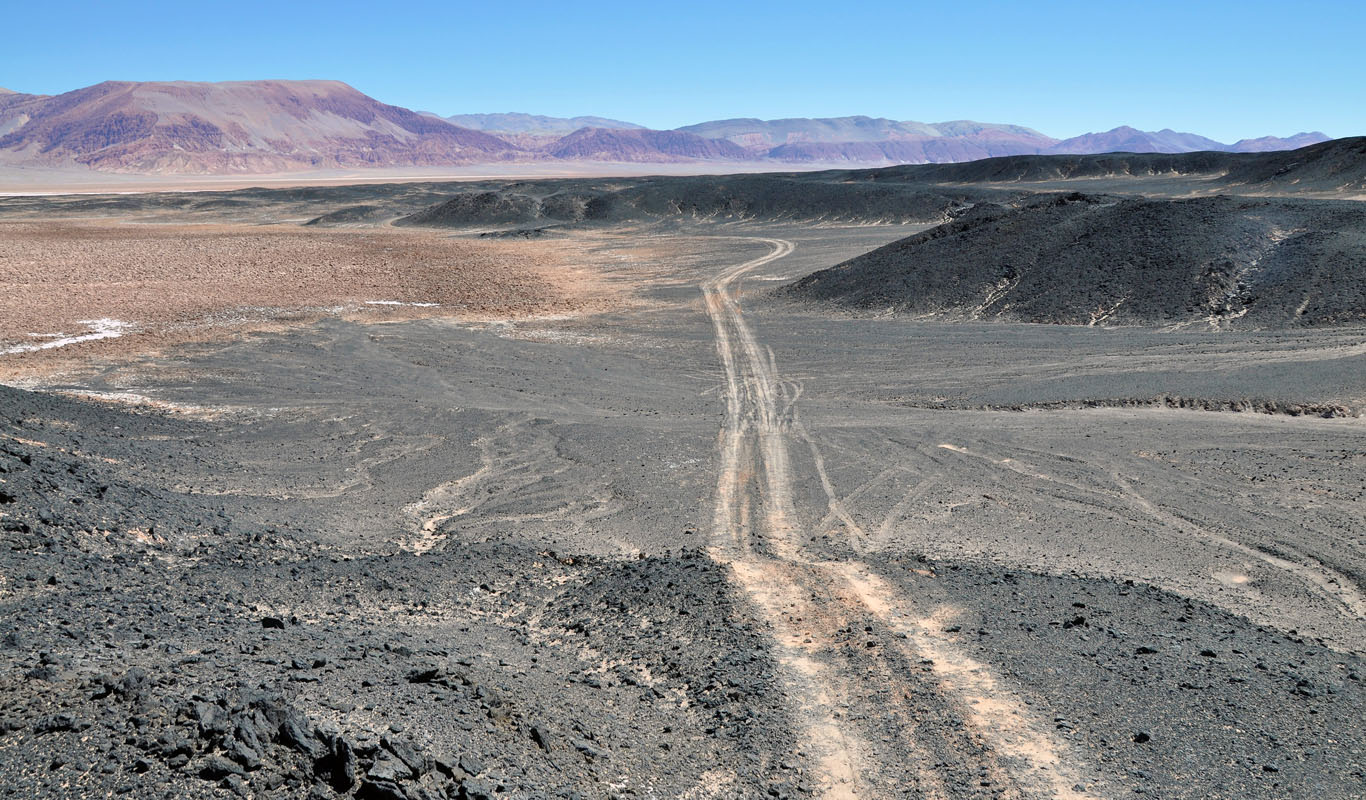
We continue on the track.
On the GPS we see that it will lead close to the border of the salar again.
We are not really worried as we had no problems before.
In one section the track tilts to one side a bit much.
Ruedi decides to reverse and drive a bit differently ..... not a good idea ....
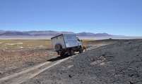
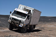
As soon as the back wheel of the OKA leaves the track Ruedi instantly feels that it starts sinking .....
With no trees or large rocks to pull us out we have a challenge ahead of us.
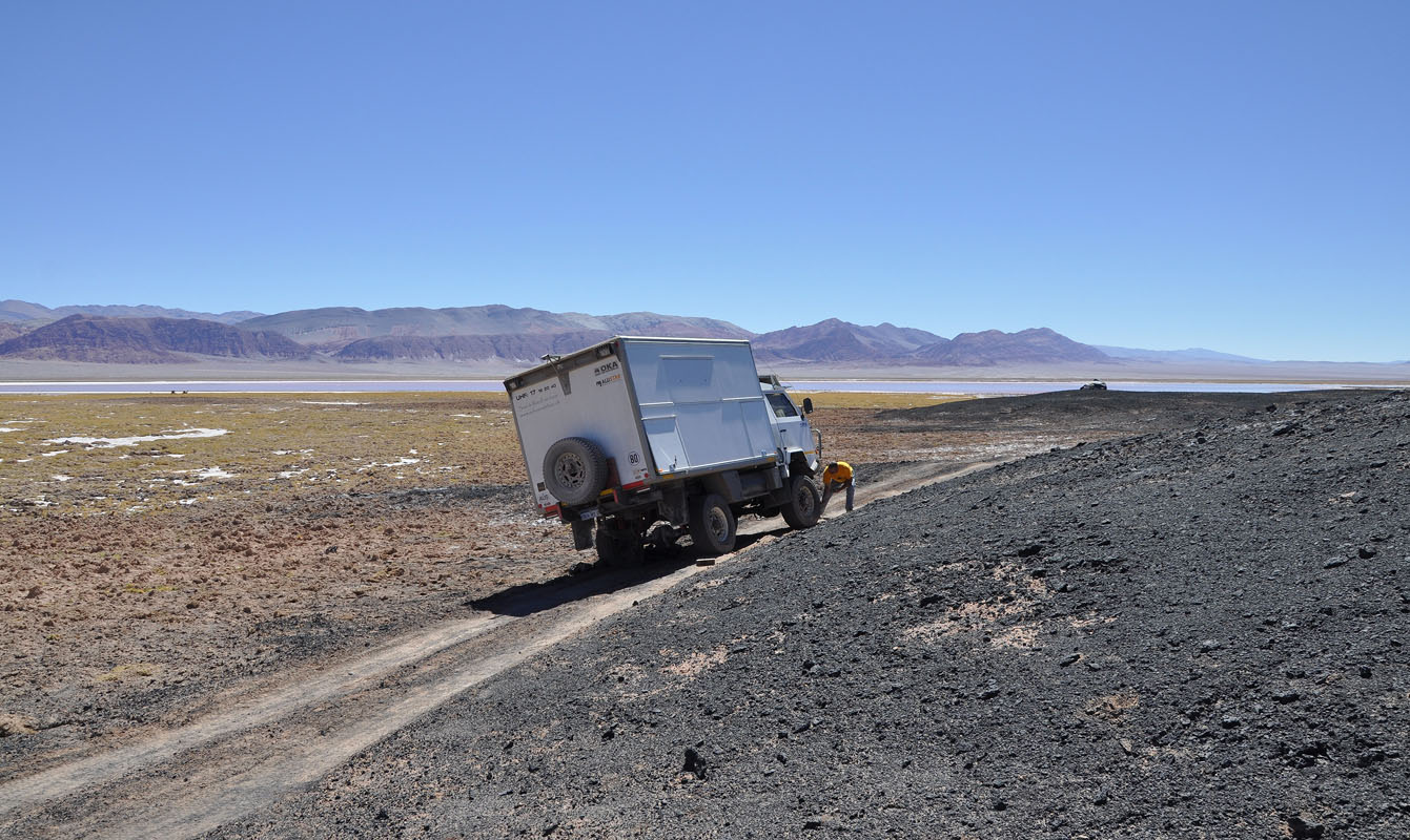
Luckily we had discussed such an event already a few times so we can now test our possible solutions we had come up with.
While Ruedi lifts the backsection with the jack on the lower side to get the weight to the other side Susi fills in the soft ground with lava rocks she can find in the area.
On the upper side Ruedi also ties the backsection frame to the leave springs to stabilize the camper and deflates the tyres down to nearly nothing.
Then some digging is required and after some 1 1/2 hours of work we are ready to try to get the OKA out if his misery.
Surprisingly it works at first try.
Also luckily we are only at 3'000 m above sea level ..... with enough oxygen to support our "sporty" activities!
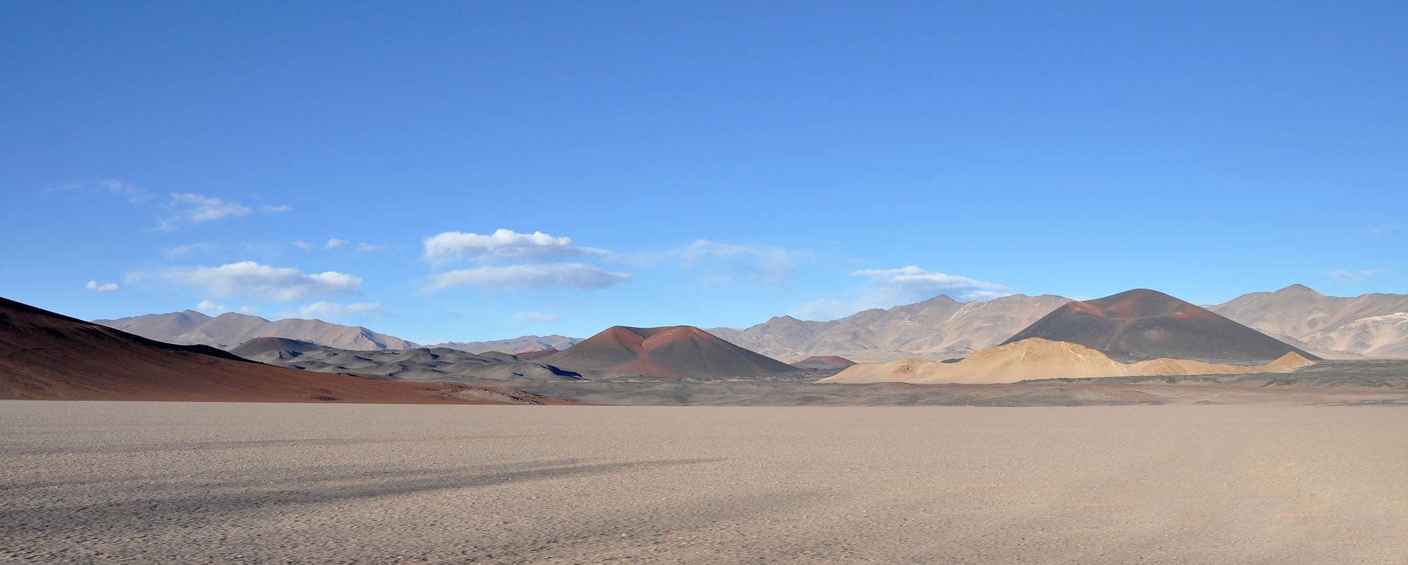
All goes well and we continue on with our drive.
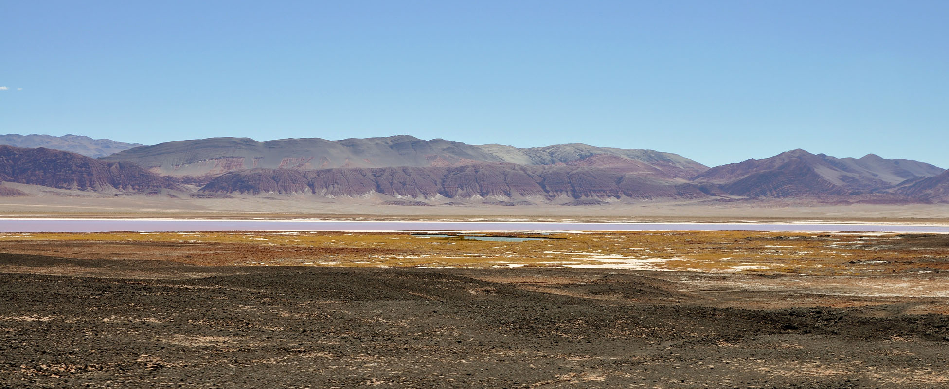
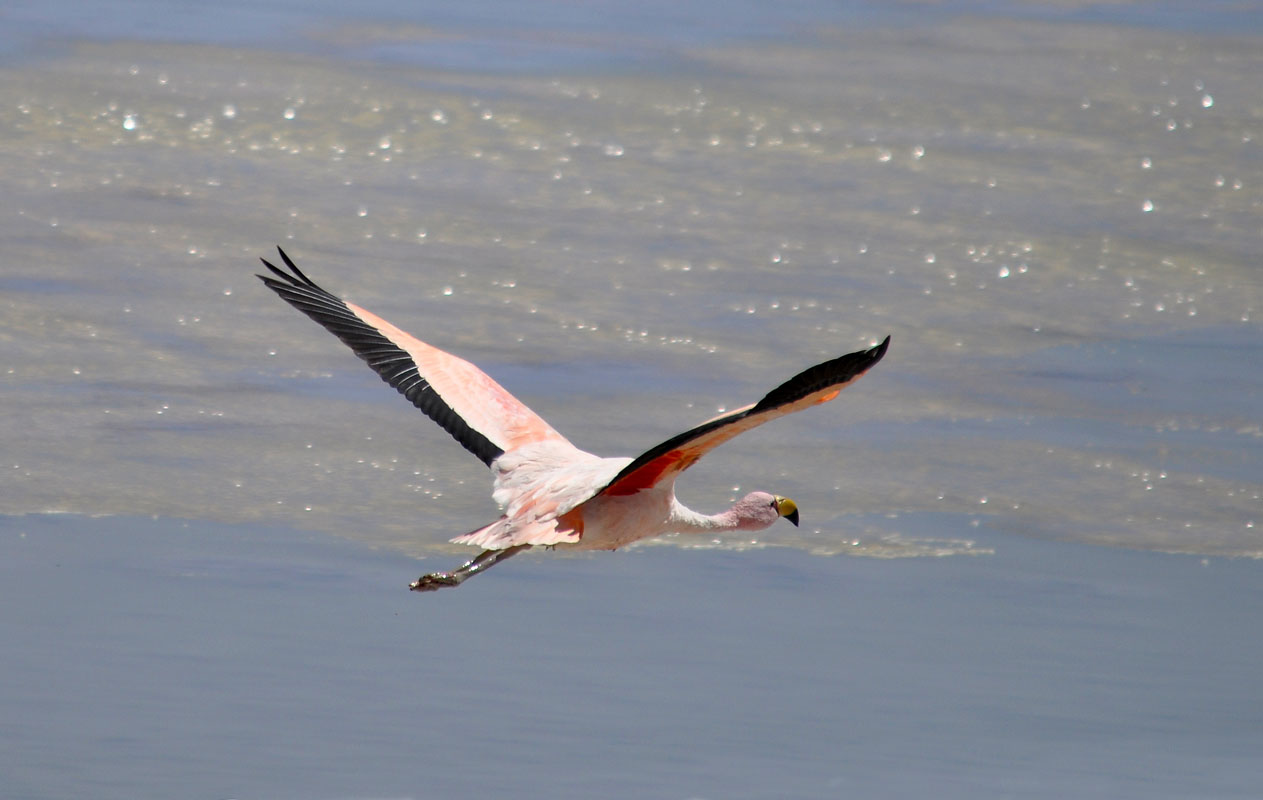
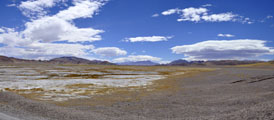
It is a magnificent setting with the red mountains in the back, the white dry salar, then the green-grey waters of the wet salar with the flamingos in it, then the green grass with the guanacos on it .....
After driving all around the volcano we find ourselves a nice spot for then night.
We intend to clean up the diesel mess in the cabinet .... we don't feel like having to smell that for another night.
As the sun starts sinking strong winds pick up.
Luckily Ruedi has parked the OKA in such a way that we can continue working sheltered form the wind.
And I tell you one thing: it is quite a challenge to go for a wee in such conditions ..... you better check the wind directions before you let go
On Wednesday it is again -4 °C but inside the OKA we have "cosy" 14 °C.
This time we have parked the OKA correctly and the sun soon warms the diesel tanks.
As we are getting ready to leave we see dust ...... a car?
Yes, the first one in 2 days.
It is a tour operator.
We leave the pretty valley towards the Ruta Provincial 43.
It is partially covert with bitumen but not in good shape.

We climb up the hill and find a deviation to the mirador "Imagen virgin del Peñon".
The views are worth the detour.
Then we reach El Peñon.
The GPS wants to send us through the village but we choose the track with the most marks around it ...... which leaves straight to the rubbish tip ......
We follow the tracks but they get less and less and then we reach a deep dry creek, not really something to cross .... at least not here.
We continue the creek downhill and after a steep drive down the hill reach the correct track again.
The drive up the valley is very pretty.
The scenery changes constantly.
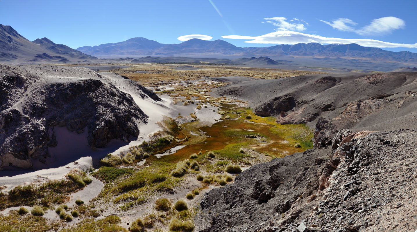
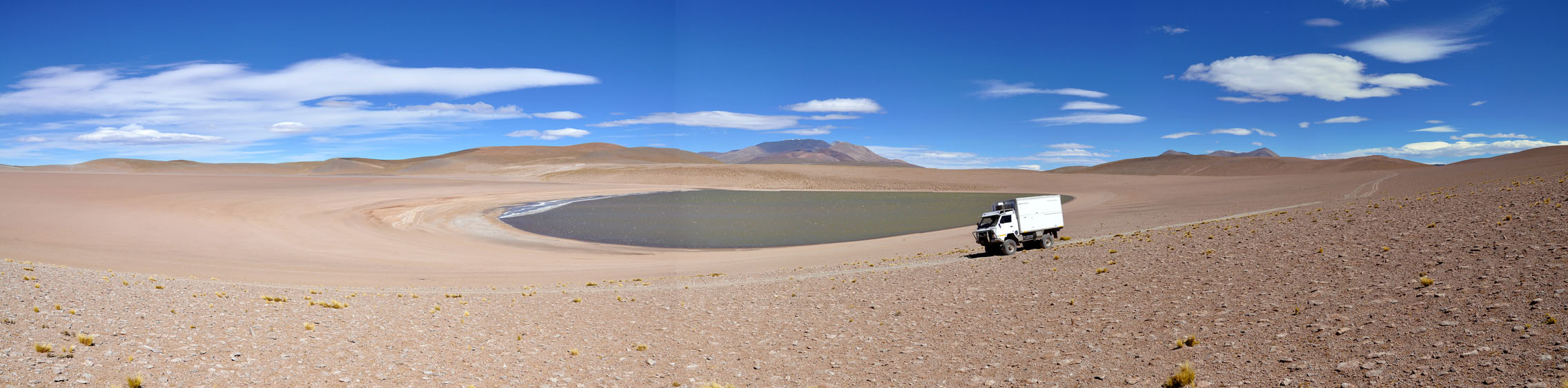
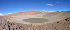
We pass a green lagoon that is not on the Viajeros Mapas (our main electronic map for the Andes).
It seems that there is still plenty of water in the area.
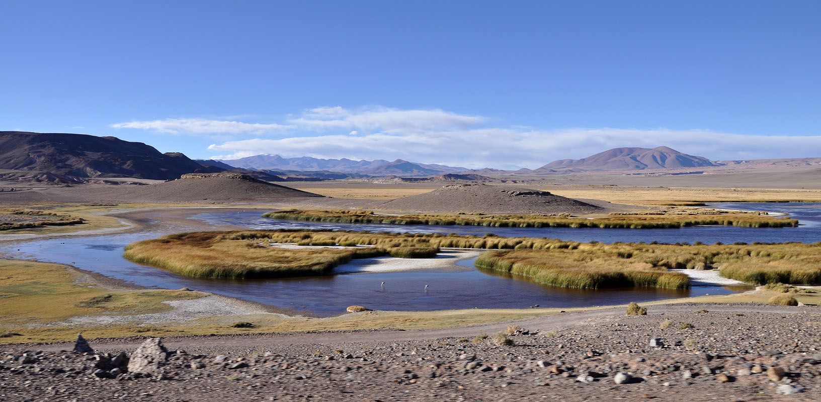
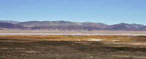
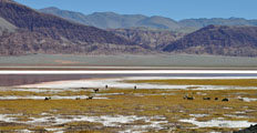
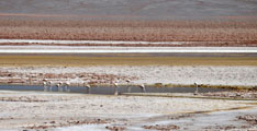
The next stop is at the Laguna Grande, a Ramsar area, with flamingos and guanacos and a very pretty setting.

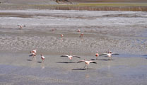
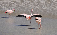
The surface the flamingos walk on does not seem to be stable at all.
When they walk through the water they sink in up to their "knees" and have to use their wings to get to higher ground again.


Next we find ourselves in the middle of some great rock formations.
We go for a walk to really appreciate them.
The wind is very strong and it feels cold.
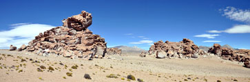
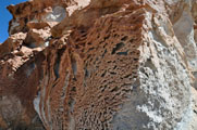
The wind and sand have created interesting formations.
Again we can watch how the rock is being eroded with the constant wind and sand.

We climb constantly.
Not much grows up here anymore.
One grass looks like Spinifex ....
The OKA behaves great.
Every so often, when we roll and if it doesn't have to "work" it blows some black smoke.
By now we have reached 4'700 m above sea level.

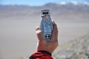
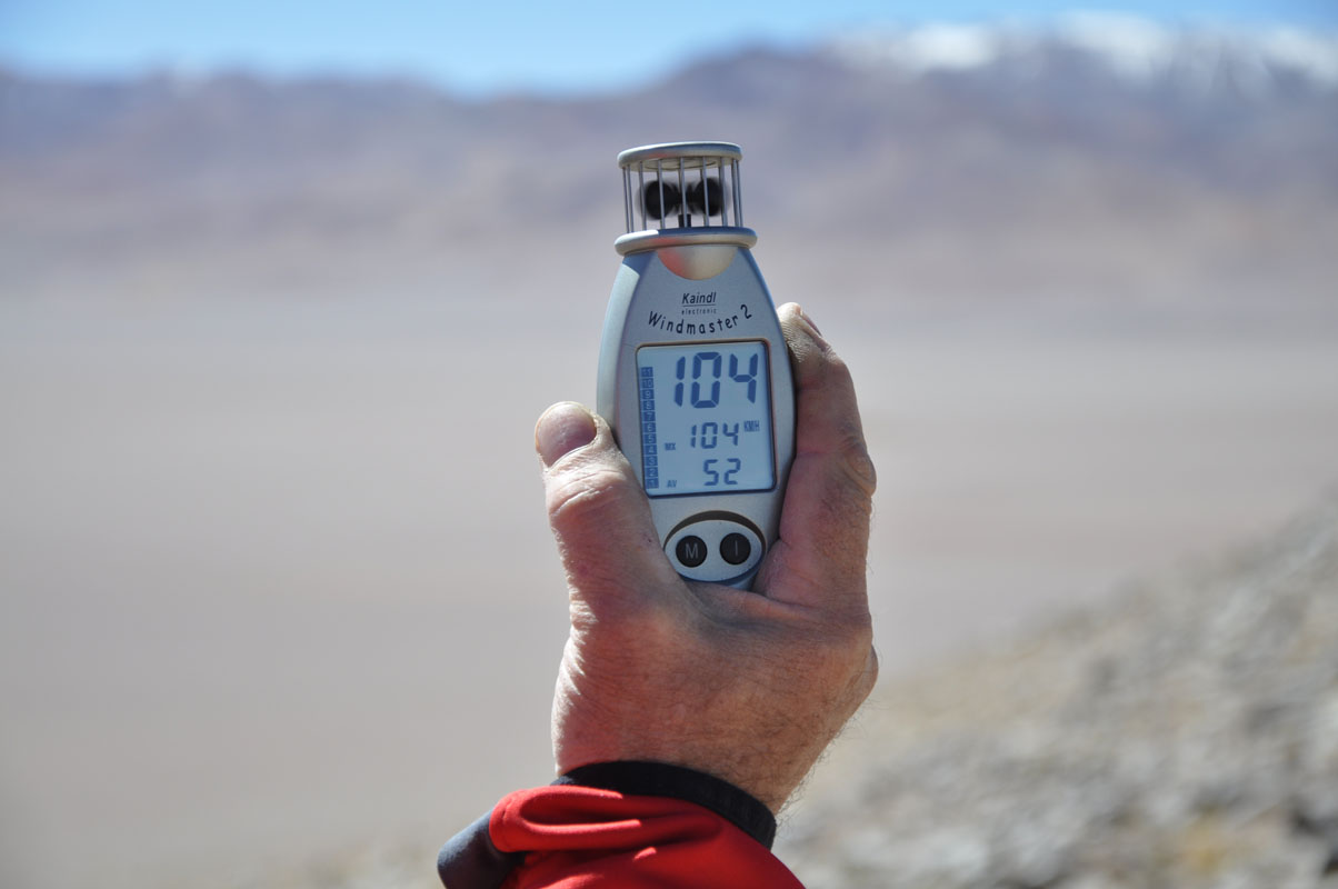
We reach a pass where Ruedi luckily parks the OKA with the front into the wind.
We measure 104 km/h winds!
If we would have parked in the wrong direction it could have damaged the doors.
The descent down to the Laguna Diamante is quiet steep but the OKA manages it with the engine break in 4WD lows second gear.
But halfway downhill the 4WD lows have a bit of a hick-up. The front axle falls out of gear for a split second just to go back in gear instantly. The rear drive is fine.
We disengage the freewheeling hubs and carry on with our steep descent. No more problems ....
We wonder what this was all about .....
We continue on towards the Laguna Diamante.
The small creek we have to cross sill has ice at the edges ...... at 3 PM ......

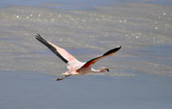
At the Laguna we spot a few flamingos.
Amazing at 4700 m above sea level!
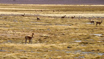
Also many guanacos live here.
The strong wind make the 9 °C feel much colder .....
The next few km the track is very wide and easy to drive.
We can drive for quite a while with some70 km/h.
As it is too late to visit the crater and we find a spot that only has some 4'460 m above sea level we decide to stay for the night.
We both have problems with the altitude.
Symptoms are a slight headache at the temple and a stiff neck.
Susi by now knows how to the problems can be lessened.
For Ruedi it is new.
His problem is that as soon as he falls asleep the breathing goes back to normal and he instantly wakes up with breathing problems again!
Another phenomenon of altitude problems is that the brain races in over drive modus.
It is hard to stop thinking. The thoughts just race through the brain - for hours.
Conclusion out of this night:
Next time we have to study the heights much better before we drive into an area like this one.
We have to know where the possible spots for the night are otherwise we can get into much trouble.
The strong wind stays the whole night.
The temperature drops to -4°C again and but inside the OKA we have 12 °C in the morning.
On Thursday morning we continue on and soon reach a steep sandy descent that would be a problem to get up again should we have to return on this route.
As we descend the 4WD causes problems again ......
Next we have to cross a dry river bed with soft sand ...... we are not the first ones to search for another route ....
We reach the deviation to the mirador of the Vulcano Galan.
The OKA makes it up to about 4'700 m above sea level and then it is too sandy and too steep.
We park it and hike up the last 1 km and another 200 m in height to the mirador.
The distance is not a problem, but the wind, low temperature (about 6 °C) and the thin air are.
It is a good exercise.
At 4'900 m of altitude one is pretty high up .....
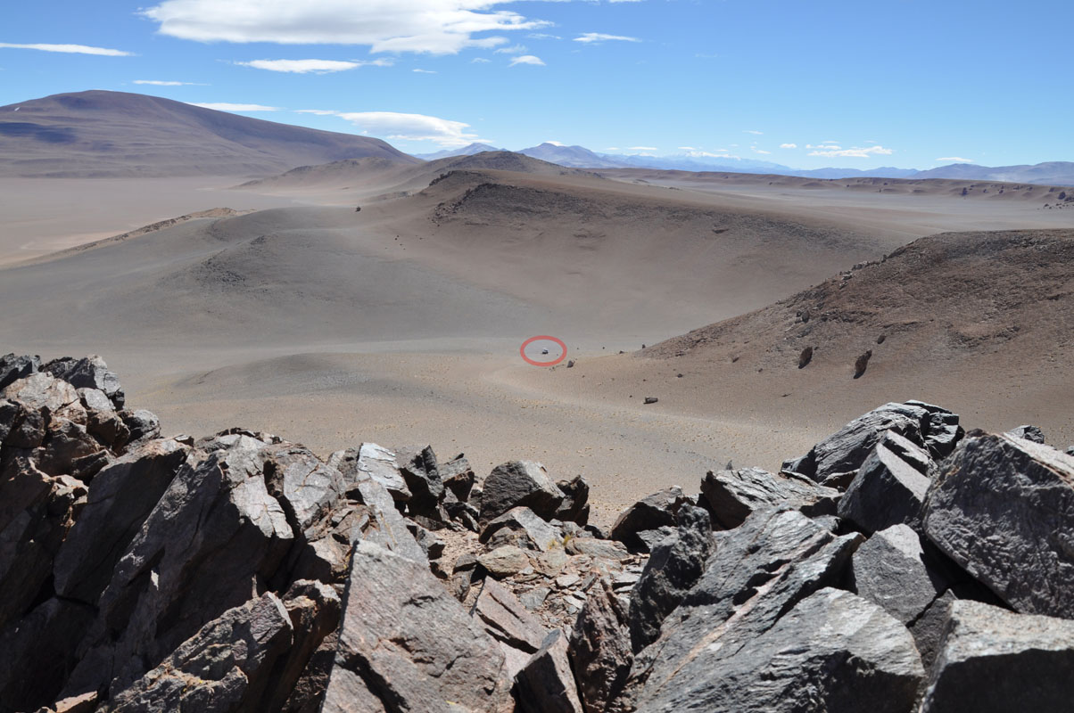
Ruedi looks down to the OKA ..... the little circle on the right picture is where it stands ....
It is obvious that the Vulcano Galan is a tourist destination.
From here on the track has a lot of corrugation .....
We drive north through some nice country.
Then we reach the Cerro Redondo sin nombre.
The Rio de los Patos creates a wetland here.

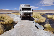

With the current amount of water the track has a small water passage and then a "bridge".
We are too heavy and too wide for this thing ......
Ruedi has to reverse towards the water passage then turn around on the soft banks of the track while Susi watches carefully how the not so stable ground reacts under the OKA's weight.
But we manage and get out again.
After a bit of searching for another way to cross the river we decide to take the Nuevo Vado.
Even though it has a fair bit of water we make it to the other side.
Because we have not been able to use the little bridge we will have to drive all the way around of the Salar del Hombre Muerto, some extra 140 km.

We proceed along the wetland.
The track is in very good condition and we enjoy the views.
Then the wetland changes into the Salar del Hombre Muerto.
Again the sights change and there is much to see.
It is our first drive on a real Salar that even is a bit wet and we don't trust it too much.
There are signs of recent "problems" ..... but after a while we get used to it.
There are mines all around and on the Salar.
One of the metals they gain is Lithium.
At the northern end of the Salar del Hombre Muerto there are some very nice formations again.
We finally reach the end of the Salar and cross over to the Ruta Provincial 43.
The track leads over a small mountain giving some nice views of the salar.
The track has been remade.
Luckily the old track is still in fine condition and we find ourselves a spot for the night.
The wind still blows with some 60 km/h but we like the gentle rocking of the OKA.
After the sun sets the wind stops ......
On Friday morning we have -7 °C outside and some 10 °C inside of the camper.
But at least we parked the camper correctly and he sun warms the diesel tanks and the breakfast table at the same time.
We are learning ....

The descent down to the RT 43 is steep.
We see that there would have been a little track to a salar not even 5 km away ..... at only 3'800 m above sea level instead of the 4'100 where we stayed ..... it is not easy to judge maps when deciding where to sleep ....
The RP 43 is not sealed but in good shape.
But there is very little traffic here too.


We reach the Salar del Hombre Muerto again.
The RP 43 continues on a dam.
Then according to the GPS the RT 43 ends and we are routed onto the dam that goes to the mine.
It is very well maintained.
Then we reach the mine.
This is the place where we wanted to go to yesterday, when we could not cross the little bridge!

The only way back to the RP 43 is along the Salar on an old 4x4 track that now serves as connecting track to the RP 43.
It seems that the RP 43 has only just recently been deviated along this stretch of track.
There are no signs and the track has some "quick-fixes" that are difficult to drive for us ....
Some parts are still wet and just a few days ago would have been a "no go" for us.
But we make it and reach the RP 43 again.

We come past the Callejon Falda Cienaga with the Salar Laguna de Caro in the back.
We like this kind of country, open, empty, lots of space .......
We continue on south and cross the Abra Apacheta at 4'439 m above sea level.

We also pass a well maintained Difunta Correa.

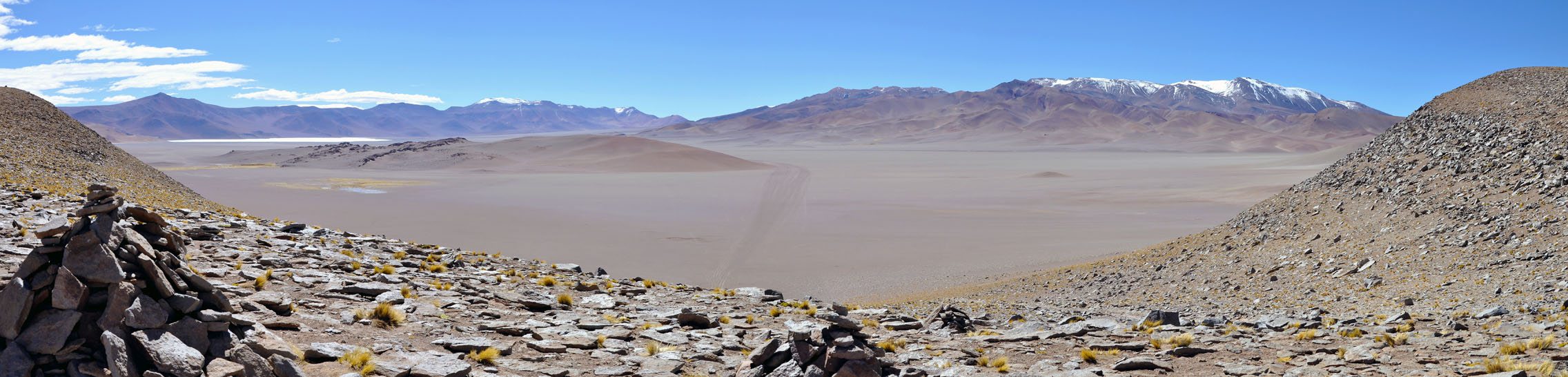
We reach the start of the descent into the valley of Antofagasta de la Sierra.
Susi sees a photo spot on the GPS and ask Ruedi to deviate to it.
It is also a 4x4 track down into the valley.
First the track is good, then it starts getting a bit steep but still drivable.
But then we reach a wash out and decide it is wiser to return.

On the way back we can check out some "pans" we had seen on the road on the way in.
The size of the pan could well be the size of a guanaco body.
We wonder if the guanacos use them to have a "bath" in the sand to get rid of vermin ....?
We also stop to investigate some poles we had seen so often on the way .... looks like measurement points to us .....

When we return to the RP 43 we see a small canyon.
As it is lunch time we deviate to it
The stone walls are well maintained so there must be people living up here.
As we travel a bit further north again on the track we find a siding.
Then it is time to drive down to Antofagasta.
We need fuel and want to stock up before we head into the Andes again.
The dirt road winds its way down curve after curve from 4'200 m to 3'470 m above sea level.
The red rock walls look really interesting.
We reach Antofagasta de la Sierra .... at siesta time ..... and the small town seems to be deserted.
We stop at the service station .... nobody there.
A man comes and asks if we need fuel?
Yes .....
He points to a shop opposite of the fuel station indicating that they sell fuel there too.
We head over and a gentleman answers to our knocking.
His fuel prices are really high, 10 pesos for EuroDiesel (instead of 7.89) and 8.6 pesos for UltraDiesel (instead of 6.45).
When Susi complains he says that he has to drive it here 180 km and therefore this is his price.
We ask for an ATM and he says that Antofagasta does not have one.
Great!
We actually don't have enough cash on us to fill-up both tanks.
So we fill one and then head outside of town to calculate how many km we will have to drive to reach San Antonio de los Cobres in the north where we can get some fuel again.
As we want to visit the Paso Socompa on the way we decide to go back and spend all the pesos on fuel ..... we still have plenty of US$ for emergencies .....
So we return to the man and ask him to give us another 60 lt.
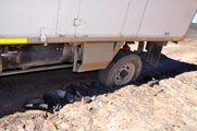
As he is filling the tanks Ruedi for whatever reason has a look at the springs and sees that a bolt used to fix the spring package to the front axle is missing.
He wonders how this could have happened ..... It is almost not possible!
Luckily we have a spare bolt with us but it is slightly too short ..... but it will do for the time being.
Out of the village as he replaces the missing bolt he also finds a second broken shock-absorber.
We had already found a broken one a few days ago. The shock absorbers we received from Australia were too short and had to be extended . This modification was not done properly.
Ok, this is too much.
We both decide that there is someone that doesn't want us to go and visit this remote part of Argentina now.
So many coincidences are a bad sign ....
So we decide that instead of driving through the Andes we will now have to drive down to Tucumán and have all the shock-absorber welded and some new bolts made.


Right outside of Antofagasta we come past the Vulcano Antofagasta and Vulcano La Alumbrera.
They are really pretty in the afternoon light.
The road actually leads around the cold lava field ..... stunning!
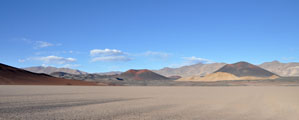
Then we cross the plain and come past the Vulcano Cachamani and Vulcano Carlucchi with the Vulcano del Jote craters behind them.
This must have been quite an interesting area when all of those volcanos where erupting!
The Cerro El Jote looks also is interesting with its rock-foldings.
Then we are "home" at our Vulcano Carachi, where we started the trip, and stay for the night.
Temperatures have changed in the few days that we were away .... we wake up to a cold Saturday with - 7 °C outside temperature ....
But by now Ruedi parks the OKA perfectly and soon the sun warms the cabin and makes getting out of the warm bed bearable.
Via El Peñon we drive over the Pazuelo Pasto Ventura (3'975 m).
It is a bitumen road and a real pleasure to drive.
On the way we see some suris.
This time they are used to vehicles a bit more and the pictures are a bit better.
The many curves, some of them really tight, make it an ideal route for motorbikes.
We descend down to the Vega Pasto Ventura (3'780 m) with its salar and then climb up to the Portezuelo Peña Fria (3'971 m) again.
It is really nice.

The Cerro Negro Caranchi still (or already ?) has some snow.
Then we reach the Laguna Blanca, a pretty grey lake.
We wonder about a "Desvio" sign (detour) but shortly after understand what they mean .... the person who planned the road must have done the planning during the dry season .....

The road leads into the mountains again and the old road is still visible.
It must have been a difficult pass as at the beginning of the descent there is a "Difunta Correa" .....
Today the road leads through the valley and not the pass anymore.
Then we reach the Cuesta de Randolfo, a pretty valley surrounded by grey mountains, where the bitumen ends.
The dirt track has just been recently maintained.
They must have had some hefty rains as there is a lot of rubble on the sides of the road and the river crossings are freshly graded.


We descent past Barranca Larga.
The road leads through the river.
Looking at the grader tracks all is freshly done ..... we wonder how they get through these crossings with their regular cars!!!
The drive through the valley is really pretty ...... the Quebrada de Indalecio is another surprise .....
Then we reach bitumen again.
At the beginning it has a lot of pot holes but with time it gets better ..... work is done on the road.
As we descend further and further the temperature rises.
By now we have already past 20 °C .... we are not used to these temperatures anymore .....
In Puerta del Corral Quemando we see the first fuel station again.
We are back in civilisation!
We reach RN 40 and head south.
Amused we watch the signalling .....
They must have taken the same sign for the warning sign "steep uphill" and "steep downhill" ....the steep uphill one looks funny .....
After having seen so many pretty things the RN 40 seems quite ordinary to us.
We reach Belen and are able to get cash.
Also some shopping is on the list.
Then we leave on the RP 46 towards Tucumán.
The road is being sealed and is brand new.
We find ourselves an entry to the old road and stay for the night.
It is the first night, where we don't have to close the windows.
Nice.
On Sunday we continue on towards Andalga.
The bitumen ends and changes to dusty gravel.
The valley is very dry and cacti start appearing again.

Then we spot a camper truck on the side of the road.
We stop to ask if they need help.
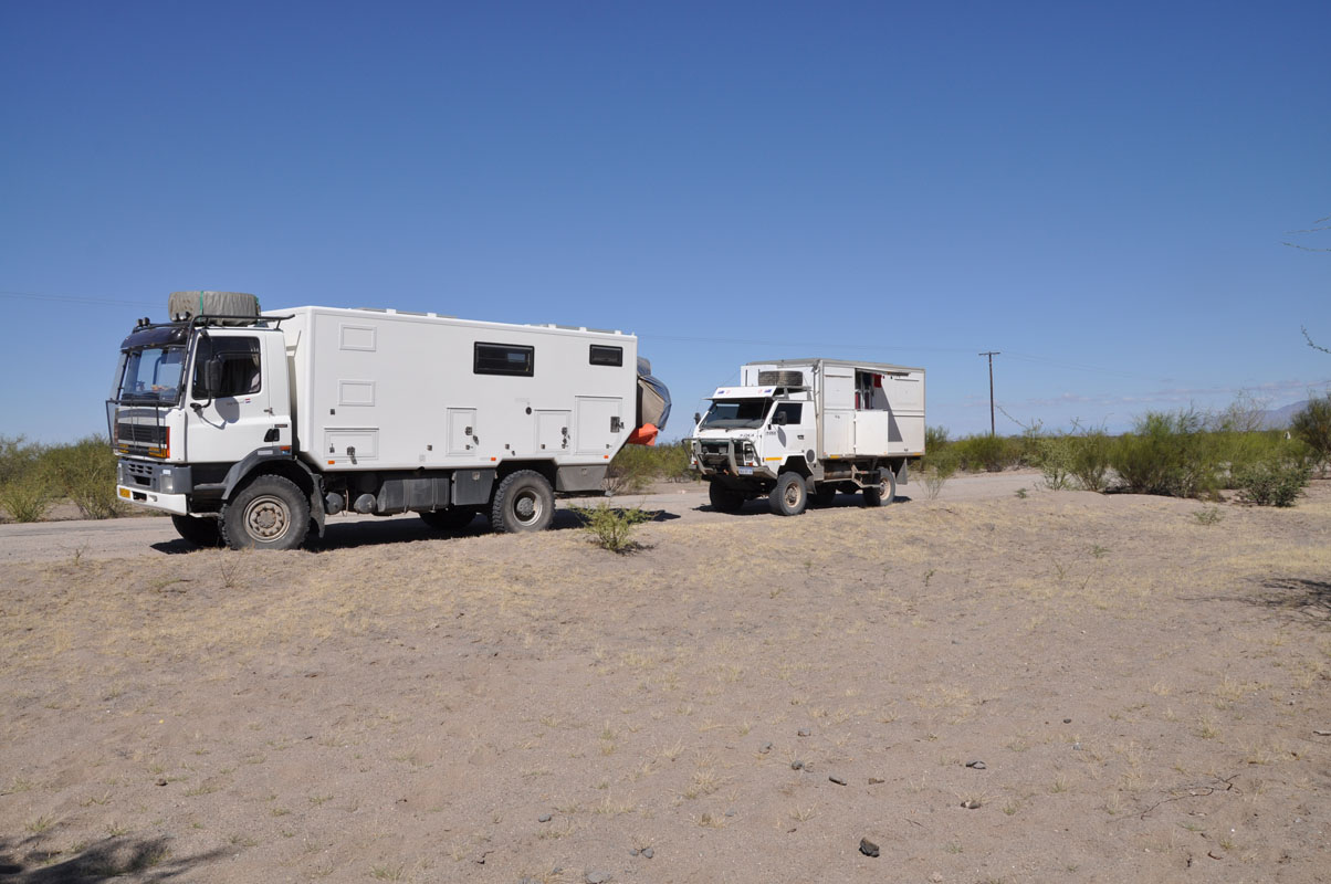
So we meet Joop and Adrie Bernard a Dutch couple .
They had helped a local with some tools and are fine.
We chat and have lunch together.
As we eat Joop jumps off his chair and swipes something off his leg .... a large spider .....
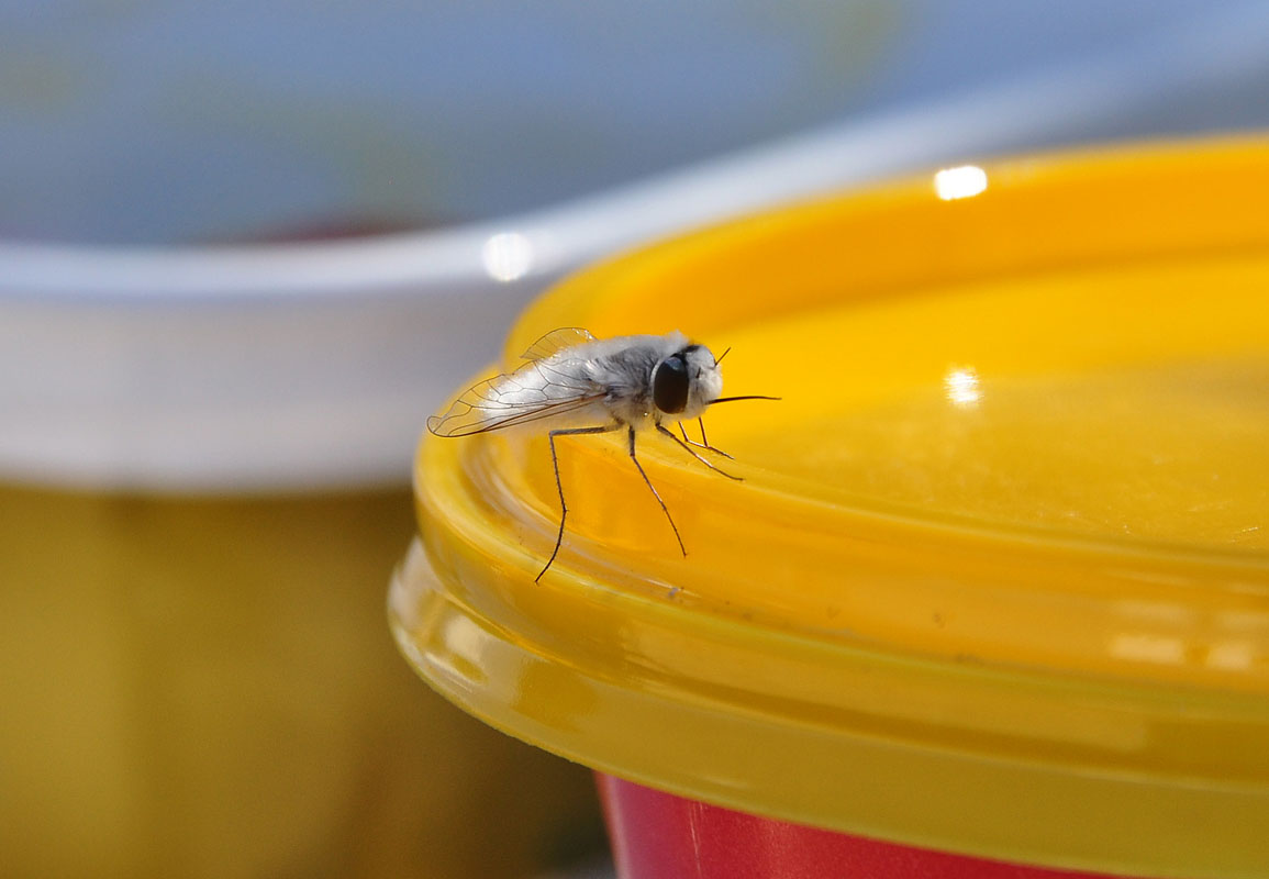
Susi rather enjoys the "visit" of a white fly on her cheese package .....
We tell them that we want to drive the small route 47 to Cuesta de Capillatas.
They like the idea and we take off.
We reach Andalga and the bitumen starts again, but has many pot holes.
For the first time in Argentina we are disgusted with the amount of rubbish that lays around outside the village.
One has the impression of driving through a rubbish tip before entering the small town.
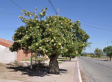

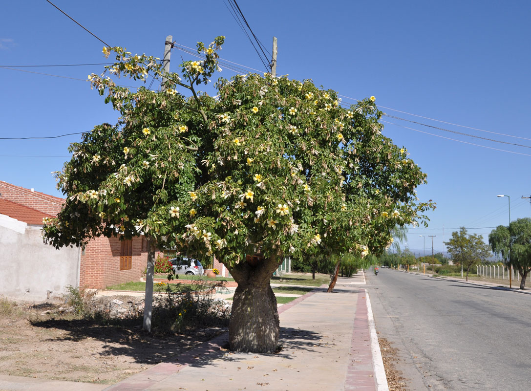
In the town Susi sports some nice trees .....
We follow Joop an Adrie .... but they get the wrong track.
It is too narrow for them and they turn around to take the correct one.
We can continue and after crossing the river also end up on the correct track.

But it is not much wider than the other one was.
We wonder how Joop and Adrie will get through here with their 2.55 m wide DAF truck!
Well, they didn't .... they decide to stay in the valley.

We climb up and up and up ...... and the track gets narrower and narrower and narrower .....
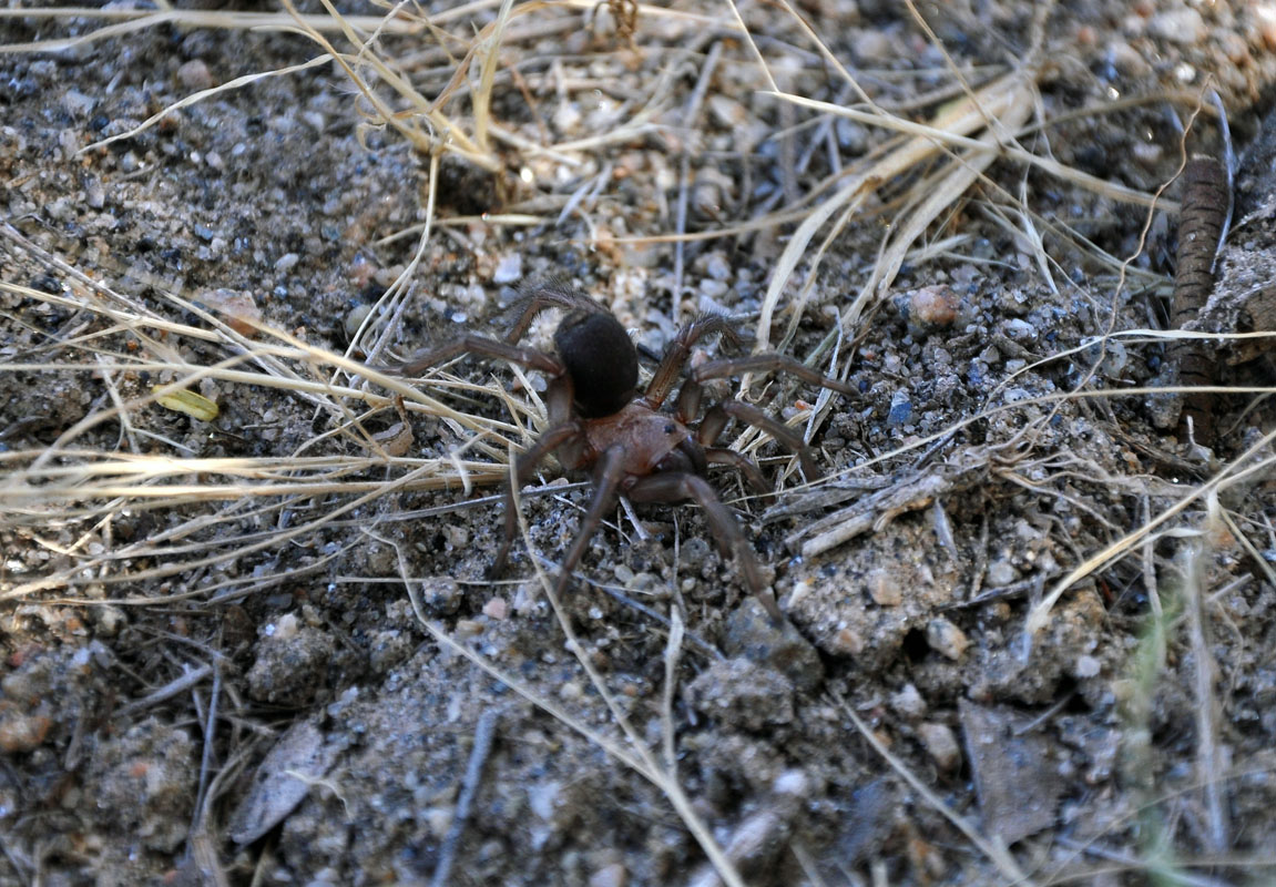
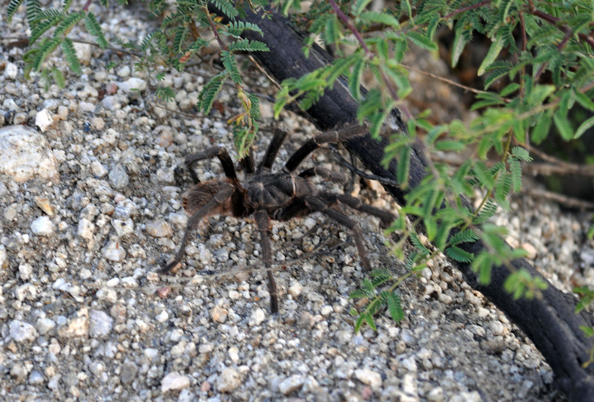
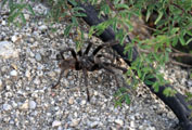
On the way we see a nice Tarantula on the road ....


When in addition the surfaces gets wet we decide that it is time for us too to turn around.
Luckily we reach a mirador where this s possible.
We have climbed form 1'069 m to 2'078 m above sea level in 27 km ..... and the views into the valley are great ....
From far above the valley we see a bright white spot in the landscape and wonder if this could be the camper of Joop and Adrie. It really is.
We return to the valley and spend the night with them.


On Monday morning we say goodbye to Joop and Adrie.
As we have the same route and more or less time table we are sure that will see each other a few more times ....
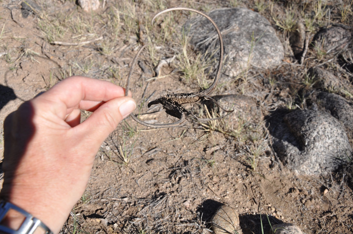
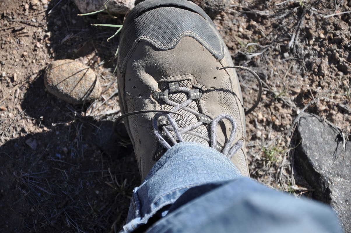
Susi finds some nice cacti and flowers and an interesting seed pot, that "hold on" to her shoe .....
Shortly after Andalgala we leave the bitumen again and continue on the RN 65, a good gravel track.


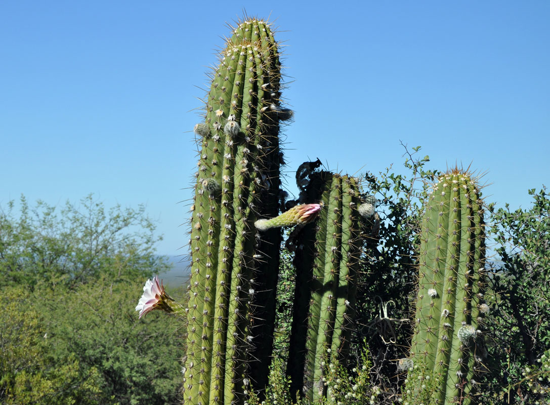
The Cordones cacti are blooming too.
We go into town to stock up and then leave the RN 46 on the RN 65 towards Tucumán.
It is a good gravel road .... until we reach the sign "Cuesta de la Chilca".

From there is it the same type of track we drove yesterday.
We wonder if Joop and Adrie will get through.
Then we see the bus drive down the track and know that it will be wide enough for their DAF.
The track winds its way uphill to the "Cuesta de la Chilca" from 1'172 m to 1'658 m altitude in just 10 km, curve after curve.
It is very pretty thought....
Then we reach the altiplano.
It is very green and fertile.
After Rio del Campo we reach bitumen that seems to be very new.
From Buena Vista the small towns have chalets and holiday accommodations.
It is a very pretty setting and we assume that it is a holiday destinations for the people from Tucumán.
In Rio Portrero the bitumen road ends and from there the gravel road winds uphill again to over 2'000 m above sea level.
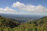

Then we reach the "Cuesta del Clavillo" from where a winding road goes down-hill loosing 550 m altitude in just 5 km with many hairpin bends in it.
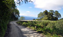
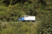
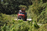
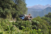
The problems are not the bends but the traffic!
As there is harvest time ..... probably potatoes .... there are a lot of trucks on the track.

The drive down is quite spectacular as nature changes from a dry forest to a dense jungle.
In Alpachiri we leave the RN 365 as the GPS tells us that this is the track to the Parque Nacional Los Alisos.
There are no signs and we follow the GPS track until we reach a bridge that is under construction.
We ask if this is the road to the park?
Yes, but one has to drive though the river ....
Hmmm ..... not today we decide and head back to camp along a nice little creek we had seen before.
As we settle in for the nigh the rangers drive past.
Susi stops them and ask them if the park is accessible at all?
Yes, just go through the river and a few km further is the camp site.
But all has been washed away with the recent rains ....
Ok, we will drive up there tomorrow.
Overnight we can leave the windows open and have a wonderful concert of frogs and insects.
We love it!
On Tuesday, April 16, we head back to the construction site and following the instructions of the rangers drive through the river.
We have to cross under the bridge and have some 20 cm leave way between the roof of the OKA and the bridge.
At the Parque Nacional Los Alisos Susi goes for a walk to watch the butterflies the park is famous for.
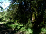
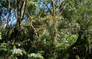
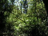
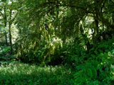
The vegetation is very dense and a lot of plants and mosses grow on the trees.
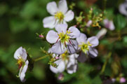
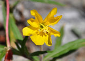
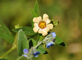
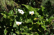
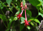
Susi's flowers .....

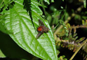
.... Susi's insects ....
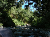
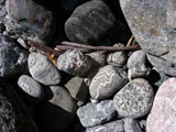
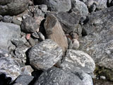
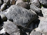
... Susi's stones ....
.... Susi's bird .....


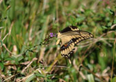
.... Susi's butterflies ....
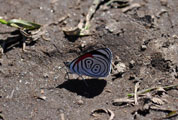
This one is called 88 Butterfly (Callicore clymena) ..... no kidding!
After a few hours Susi has found out that chasing butterflies is hard work and decides to head back.
We follow the RN 365 to Concepcion where we take the RN 38 towards Tucumán.
There are not many camping indicated on the GPS and we take the first one that we find in Monteros.
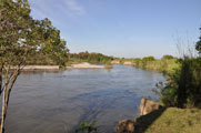
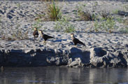
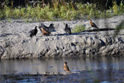
It is a nice camp along the Rio Seco (means "dry river" in English) .... that actually flows ......
On Wednesday we drive further north.
As we pass Famaillá we see a nice service station.

Maybe they might be able to fix our shockies....?
No, but they give us a good address of a welder in town, Taller Metalico DIP (GPS: S 27° 3.706', W 65° 24.132') who will do them until tomorrow.
He instantly understands the problem and also sees the same solution. He does an excellent job and we are very happy with it.
We sleep at the service station, it is a bit loud but it is ok.
On Thursday morning we can pick up the shockies.
Dip also gives us an address of a ferreteria (hardware store) in Tucumán that delivers him.
He reckons that they will be able to make the special bolts, washers and nuts for us.
Soon after Famaillá the highway AU38 starts and we can drive all the way into Tucumán on it.

One can tell that the north of Argentina is poorer than the rest of the country.
Here we see many 1-hoser-powerd wagons and also small motorbike delivery vehicle ... in Thailand they would be called "Tuc-Tuc" ...
The ferreteria "Reginato" is close to the camping municipal so we settle there for the night.
The camping is free but it is in a terrible state, the toilets are broken, all is dirty ..... luckily we have all "on board" ....
Susi heads over to Reginato (GPS: S 26° 49.854', W 65° 10.772') and orders the bolts.
They will be ready on Tuesday.
During the night we hear drums and loud voices ..... like demonstrations .....
On Friday morning we listen to the radio and hear that they had demonstrations in all large cities of Argentina because the president wants to change the justice system in its favour.
They are the largest demonstrations Argentina has seen since 2001 when they went bankrupt the first time ....
We decide that we will leave Tucumán and go back to the camping in Monteros to wait there.
And this is the end of this journal.
|