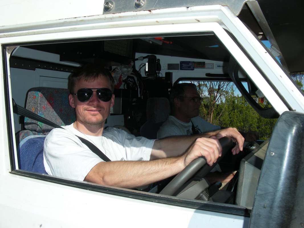
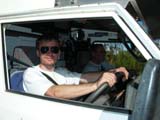
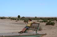
In the evening Simon, on Sunday, March 8 2009, Heidi's
son, arrives.
After a great breakfast at Barbara and Roger in Heidelberg
West on Monday a day of sightseeing in Melbourne is on the
program.
On Tuesday morning it is time to leave the hospitality
of the Mohler's.
Thanks for putting up with us 5 and spoiling us with all
the goodies!
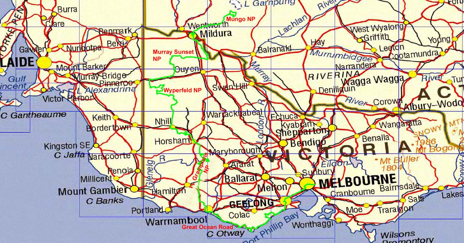
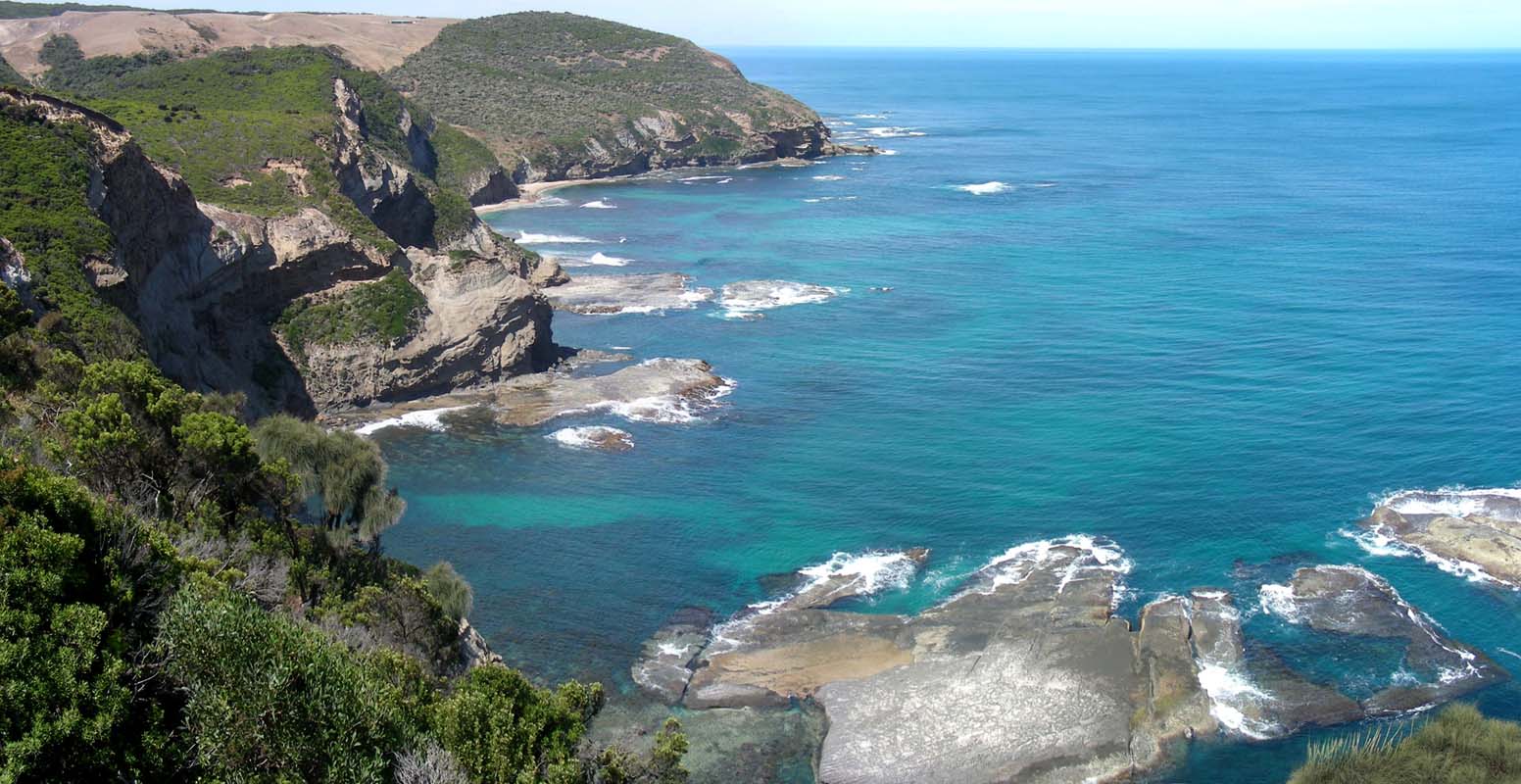
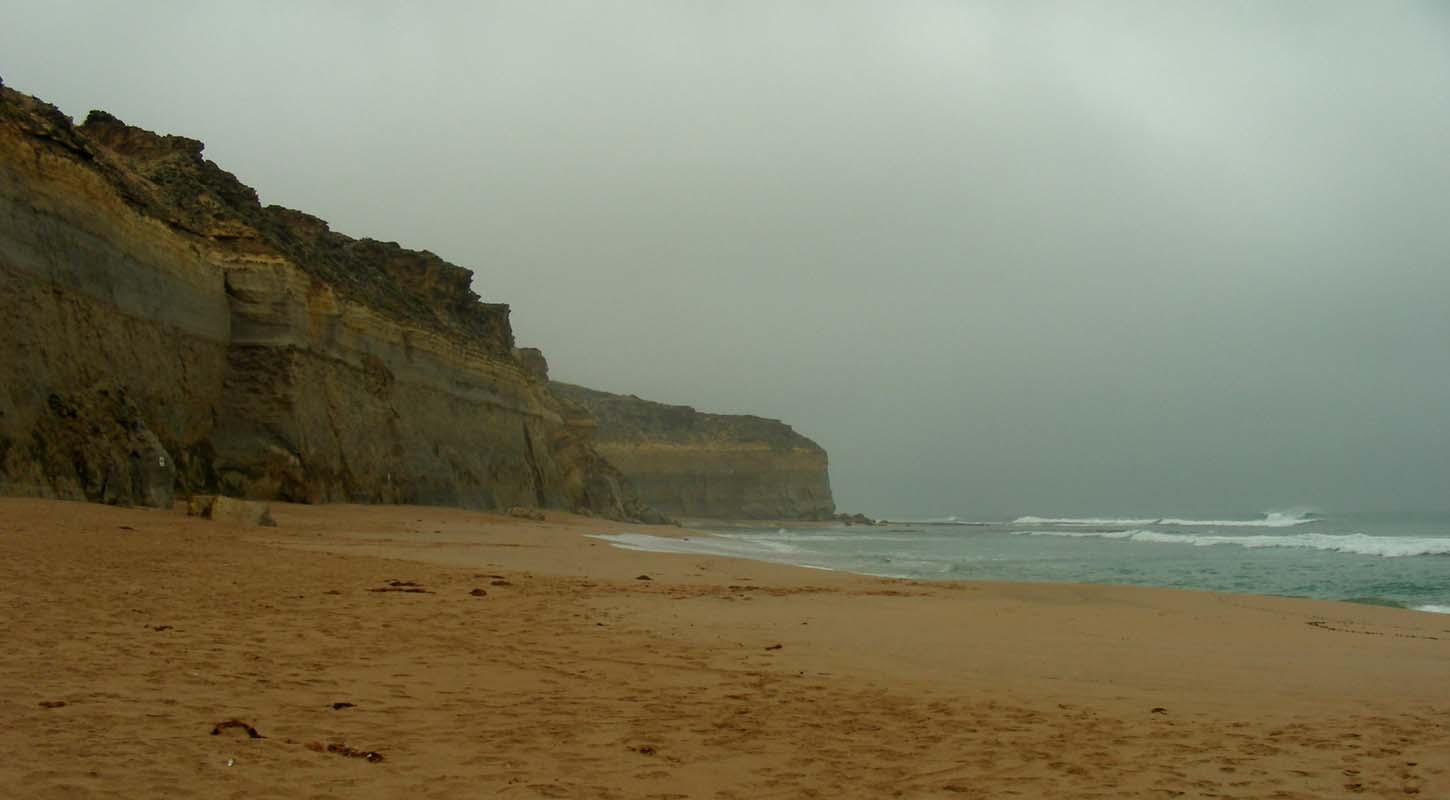
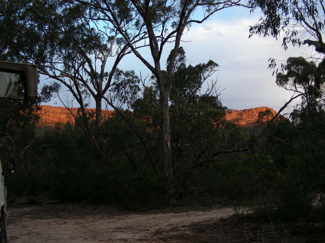
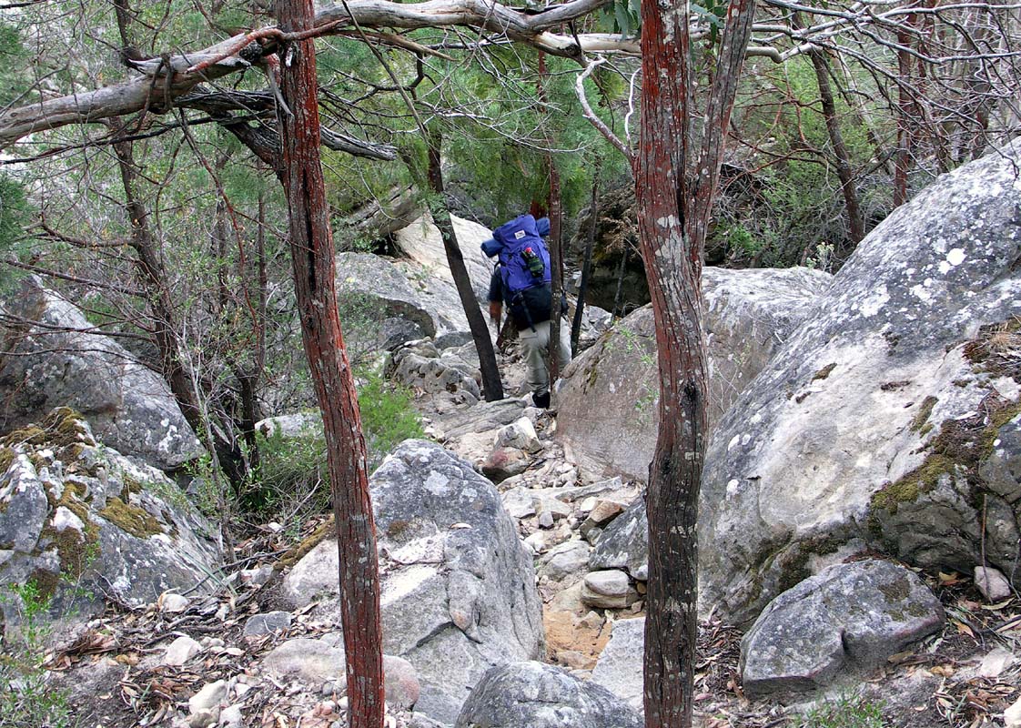
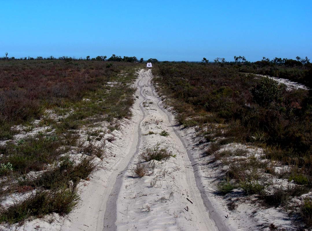
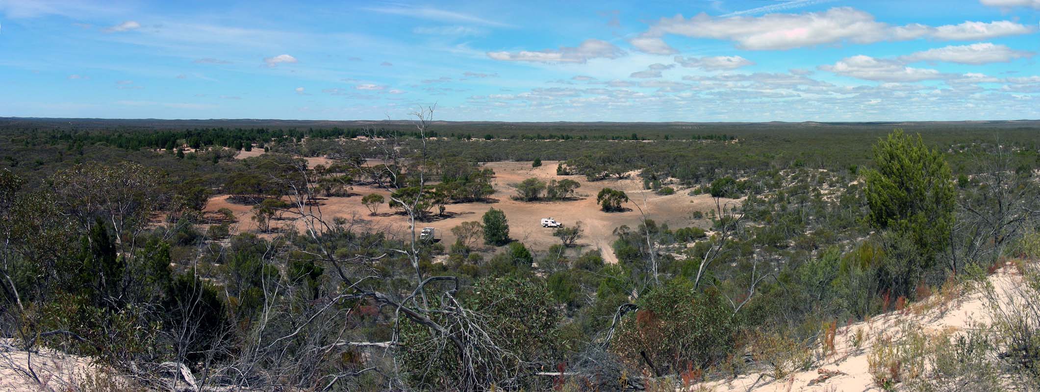
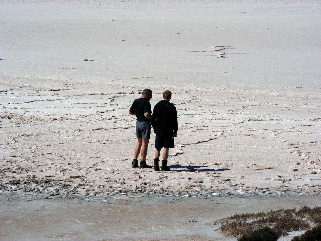
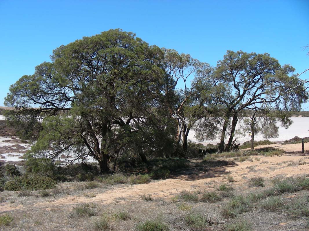
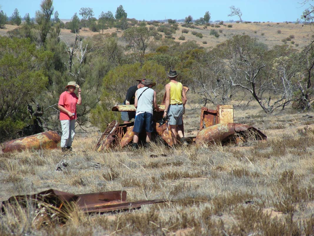
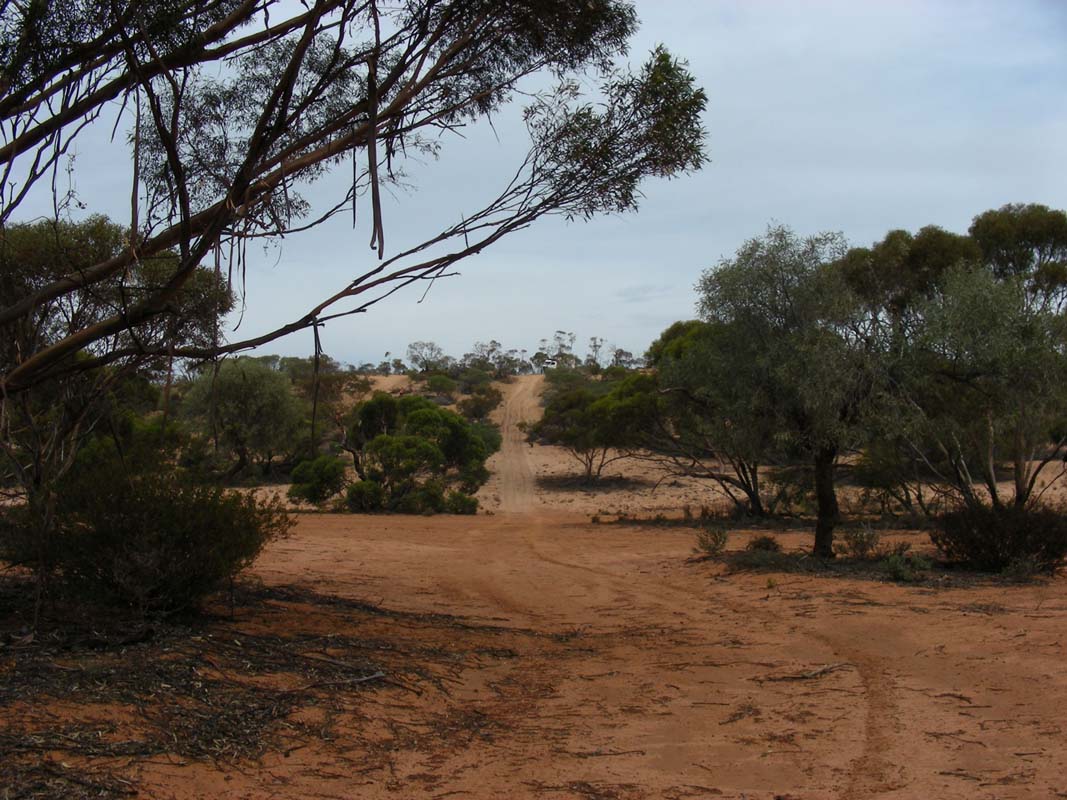
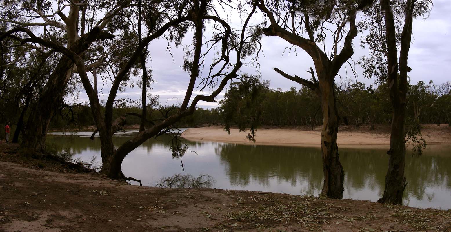
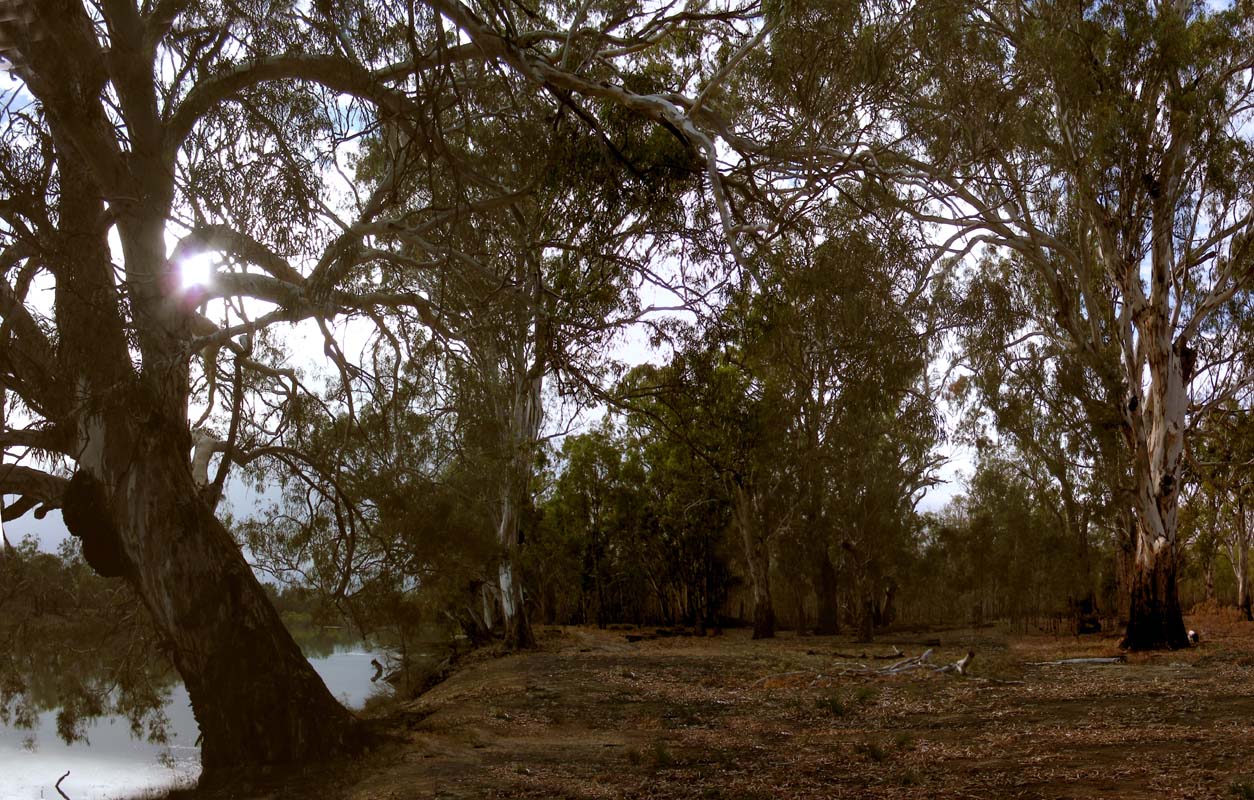
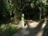
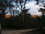
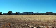
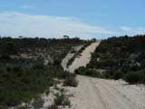
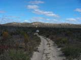
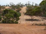
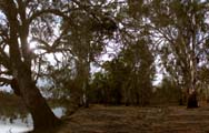
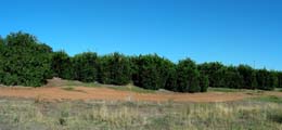
We head south to Torquay and from there
on the Great Ocean Road to Aireys
Inlet.
The weather is not really great .... some grey clouds are
building up on the horizon.
What happened to the summer???
We seem to attract the cold weather.
Not that the people in Victoria would mind some rain but
we have had enough in Tasmania and really would like some
nicer weather if possible ....
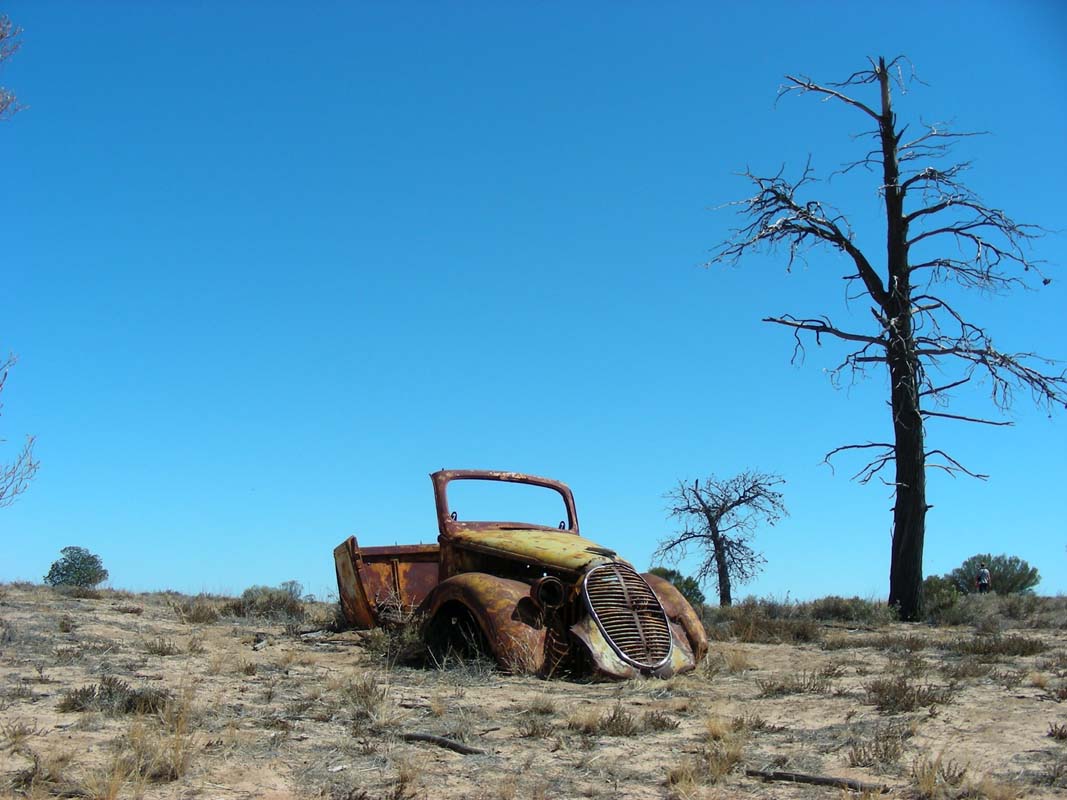
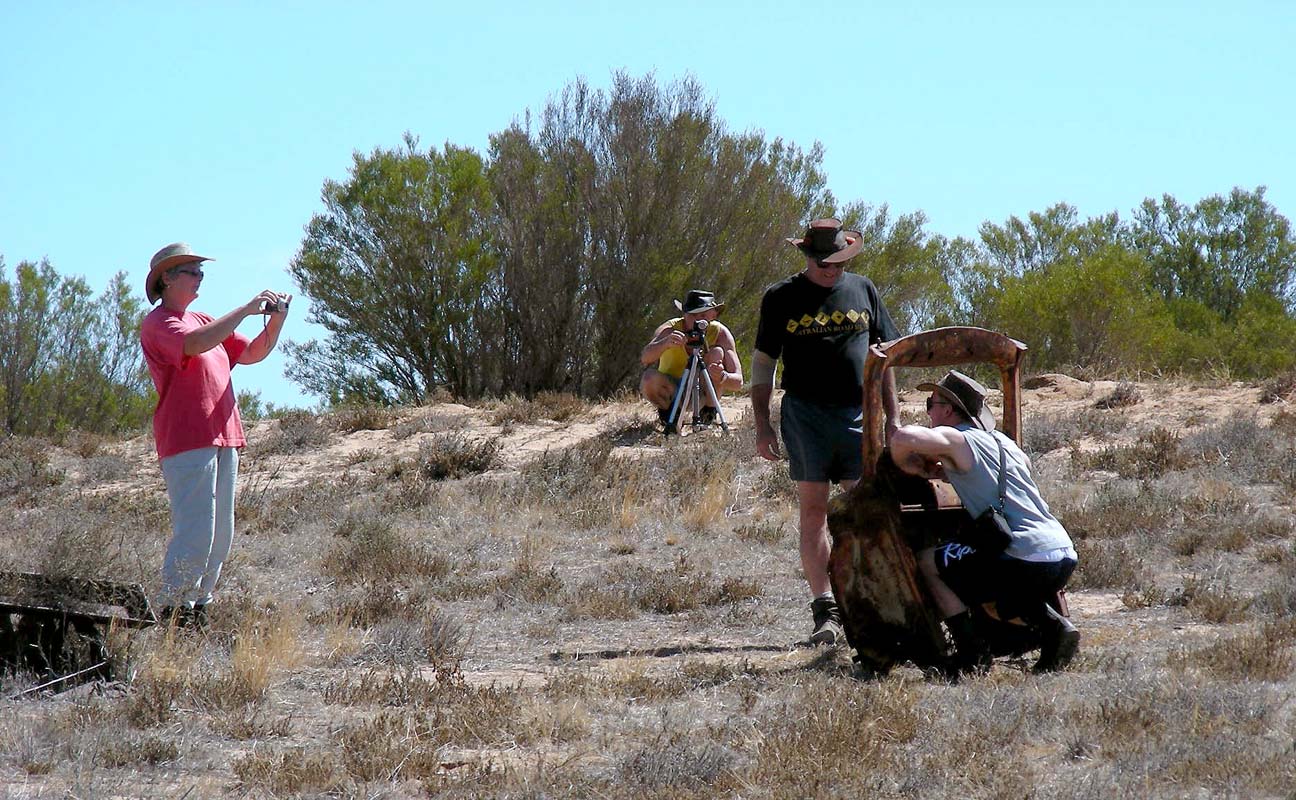
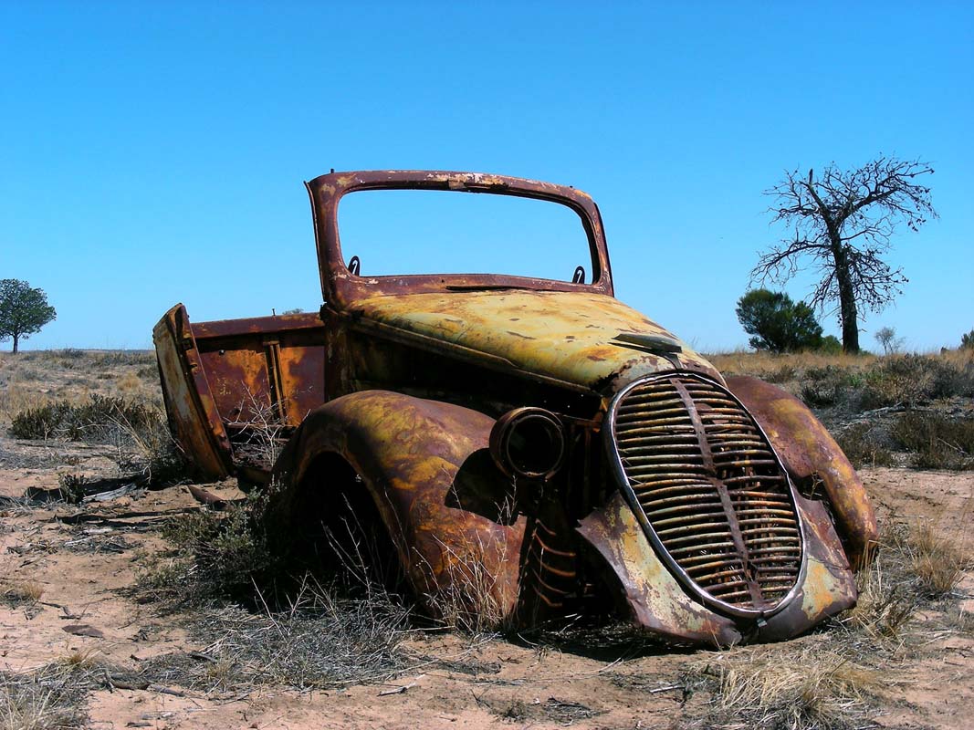
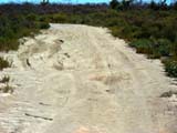
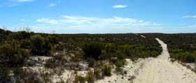
From Aireys Inlet we intend to travel the track "The
Verdant Otway's" from Ron and Viv Moon's "Discover
Australia 4WD".
But the road names have been changed and we miss the entry
point.
So we decide to miss the first part of the track and travel
uphill on the Bambra Road.
The weather does not look too good, fog is closing in and
we wonder if we might even get some drizzle.
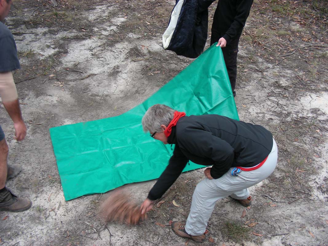
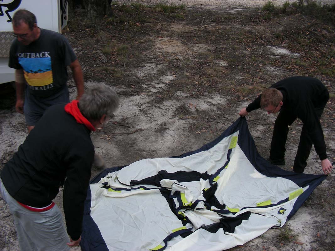
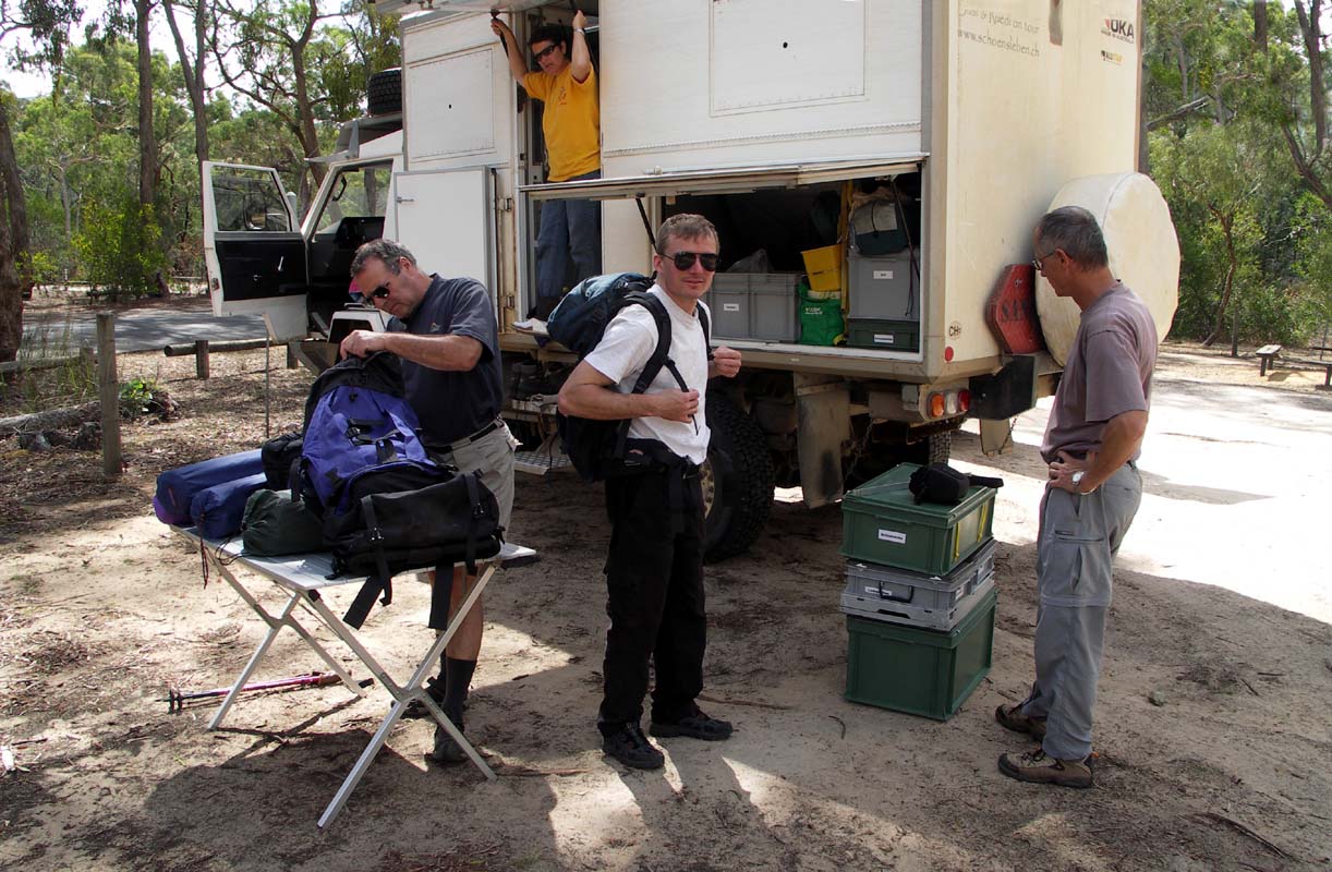
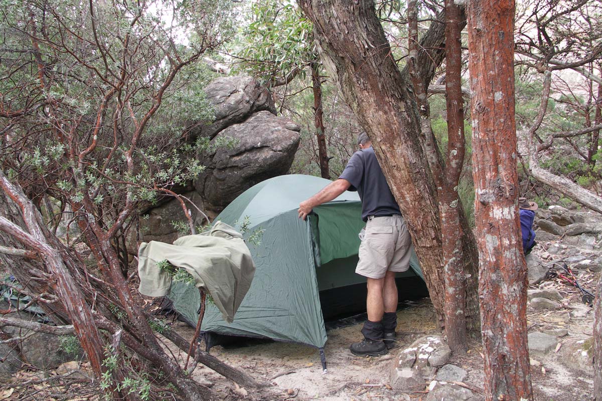
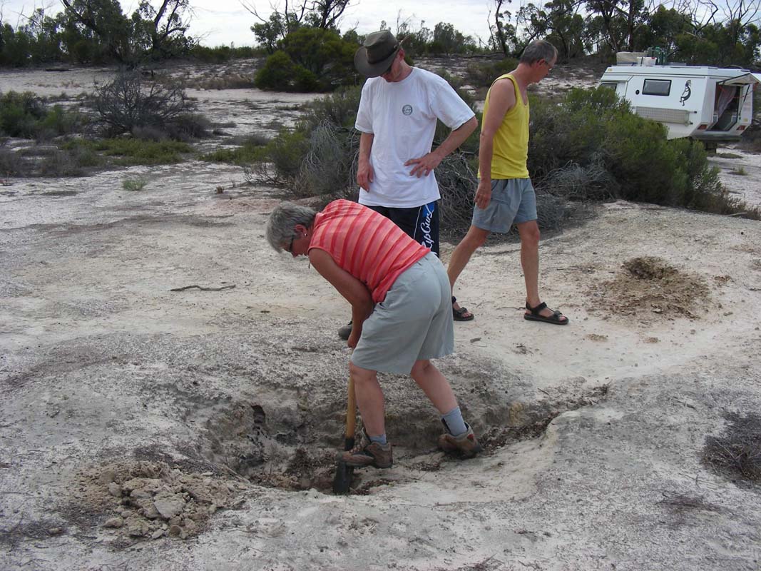
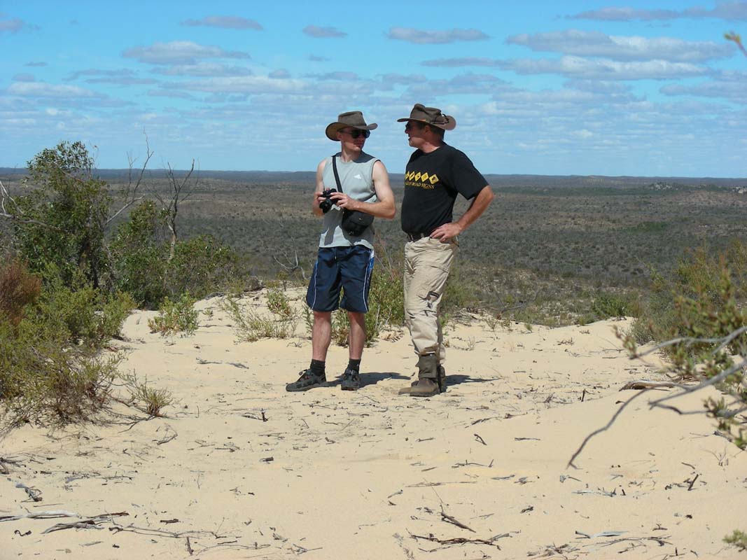
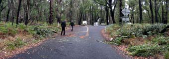
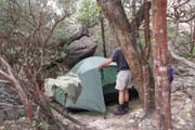
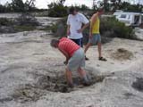
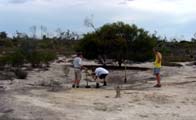
We decide to stop for the night early as Simon will be sleeping
in the tent and the whole equipment has to be dug up out
of the storage boxes first.
So we find ourselves a nice flat area along the road and
start getting organised.


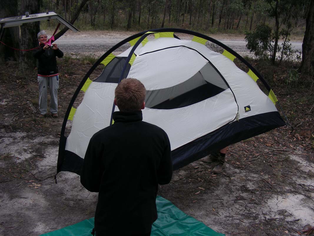
After a bit of searching this and that the tent is up.
From tomorrow on Simon wants to time exactly how long it
takes to set up the tent ....
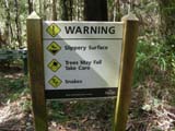
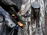
As there is no total fire ban anymore Peter makes a small
fire to cook the meat.
A car stops on the road ... it's the CFA .....
The man in the car walks over and enquires where we are from.
Next question is if we don't know about the fire ban?
We are surprised as we thought there were no fire bans anymore!
The man informs us that in many forest, including this one,
the fire ban is still on.
"Hmmmmm ... sorry, we did not know. Should we extinguish
the fire?"
"No, just after cooking, make sure it is really off."
This is why we like Australia!
In Switzerland and Germany we would have been penalized!!!
The CFA officer stays for a bit of a chat and gives us
some good tips regarding where to spot Koalas and find some
bush camps.
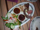
We finish cooking and have great steaks for dinner.
Later on some Kookaburras sing .... black Cockatoos fly past
.... Simon gets his first impressions of the Australian
bush .....
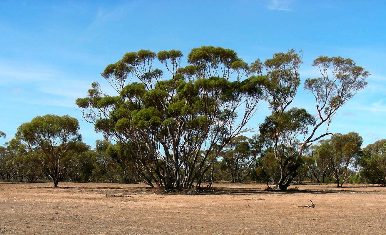
After a not too cool night (15°C) we wake up to grey
skies.
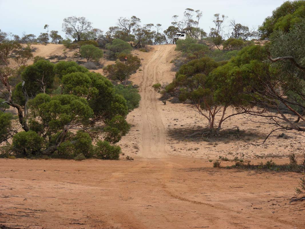
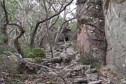
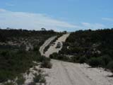
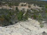
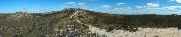
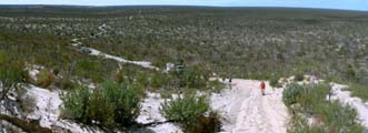
We continue uphill on the Bambra Road and take a few deviations
to reach the described track again.
This takes us through some pretty forests with fog still
hanging in it.
Then we are on track again and follow the notes in the road
book that lead us towards the Erskins Falls.
Shortly before we reach the access road to the Erskins Falls
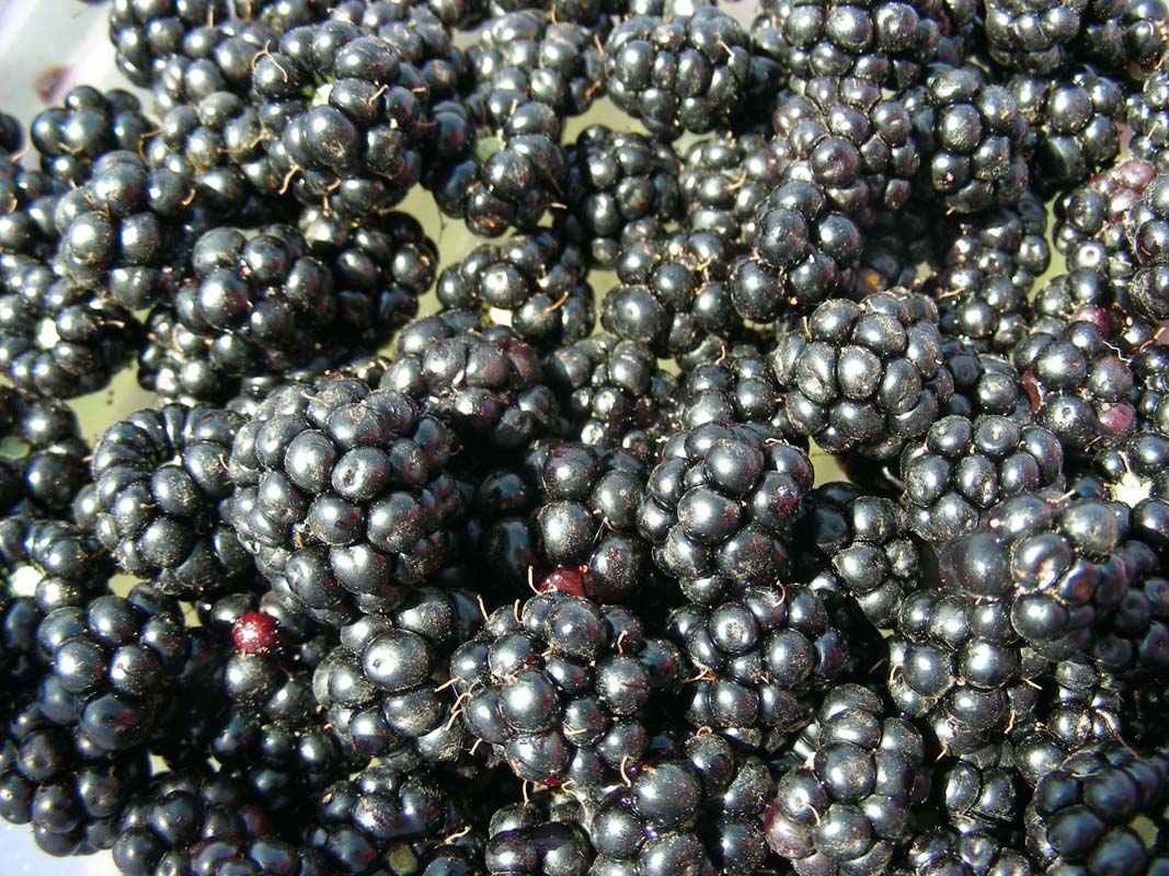
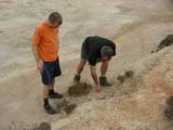
we spot a blackberry fence.
Lots of parrots fly off it indicating that the berries are
ripe.
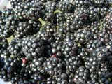
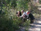
Instantly we get busy and collect enough berries for some
jam.
In the mean time the sun burns the fog away .... we don't
mind at all!
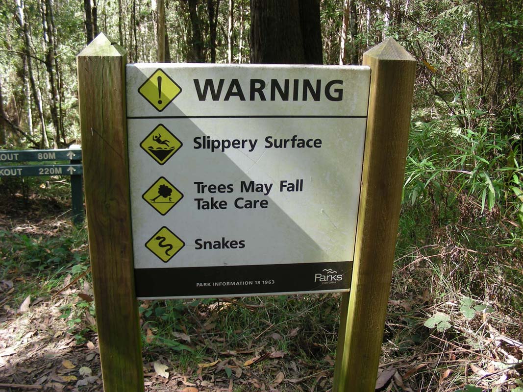
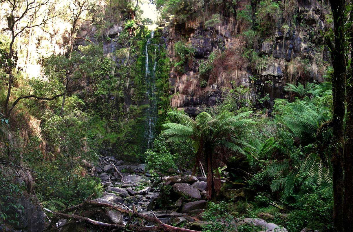
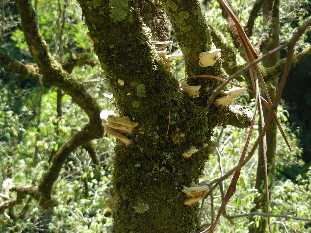
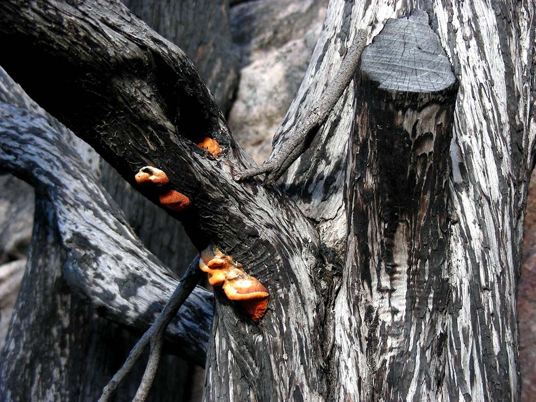
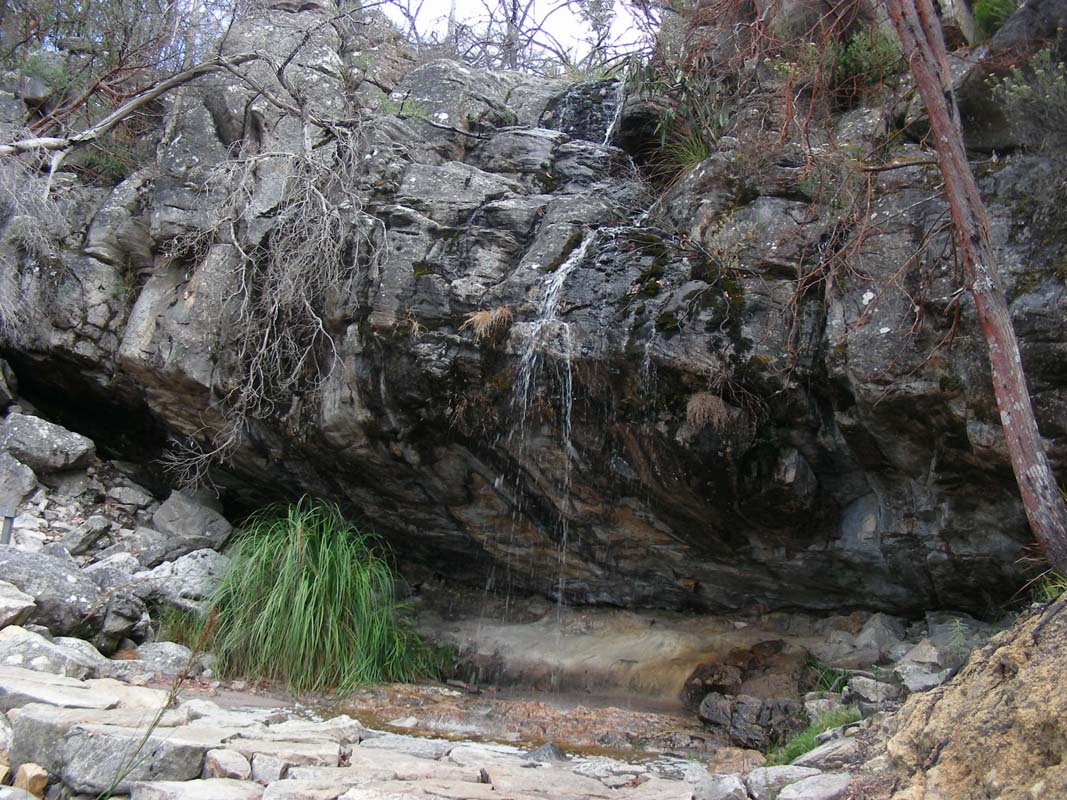
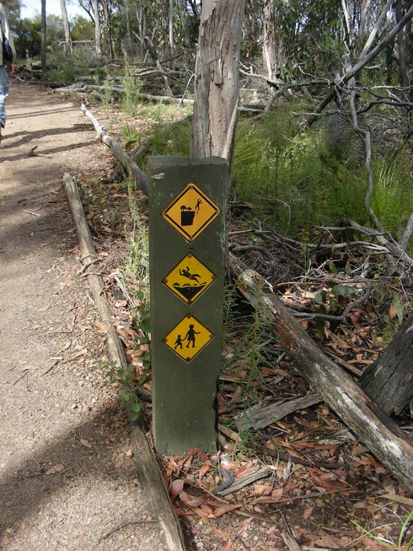
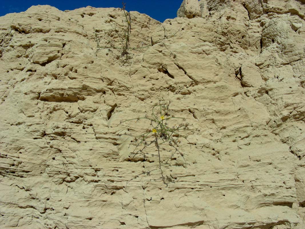
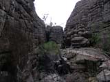
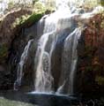
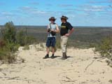
We visit the Erskins Falls.
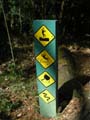
We wonder a bit about the warning signs .... seem to be
a dangerous area!
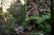

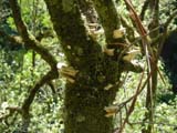
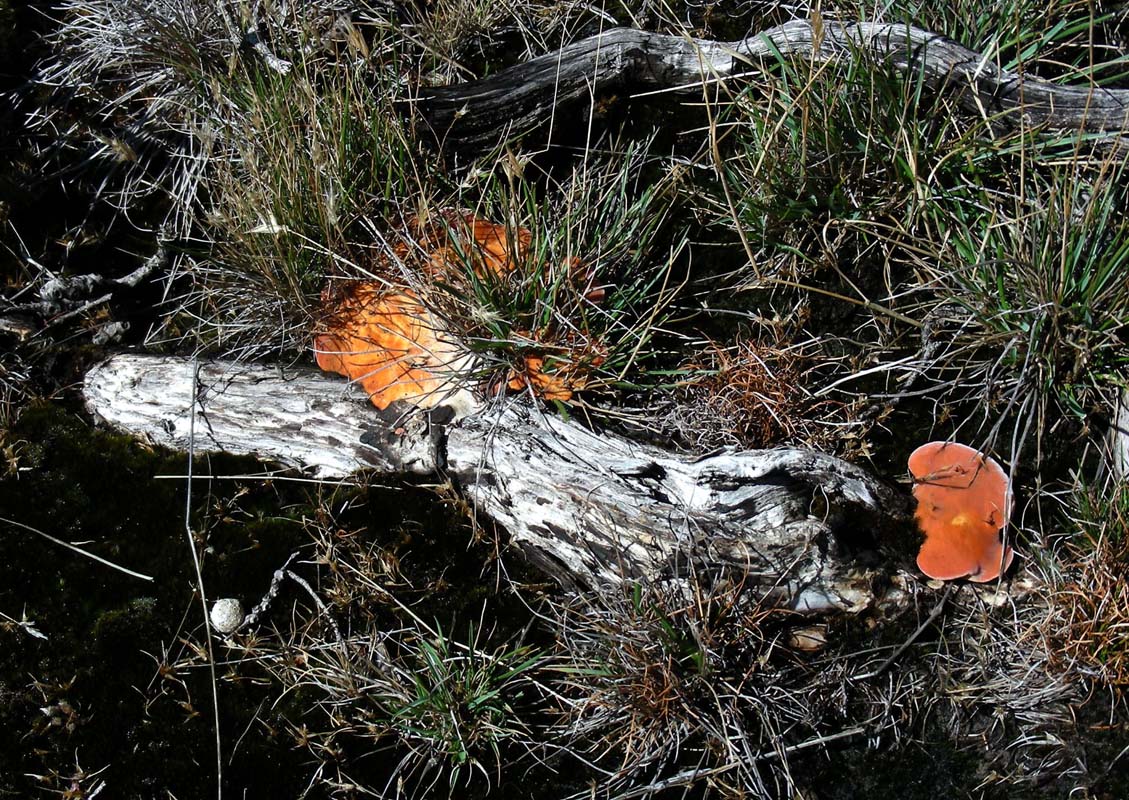
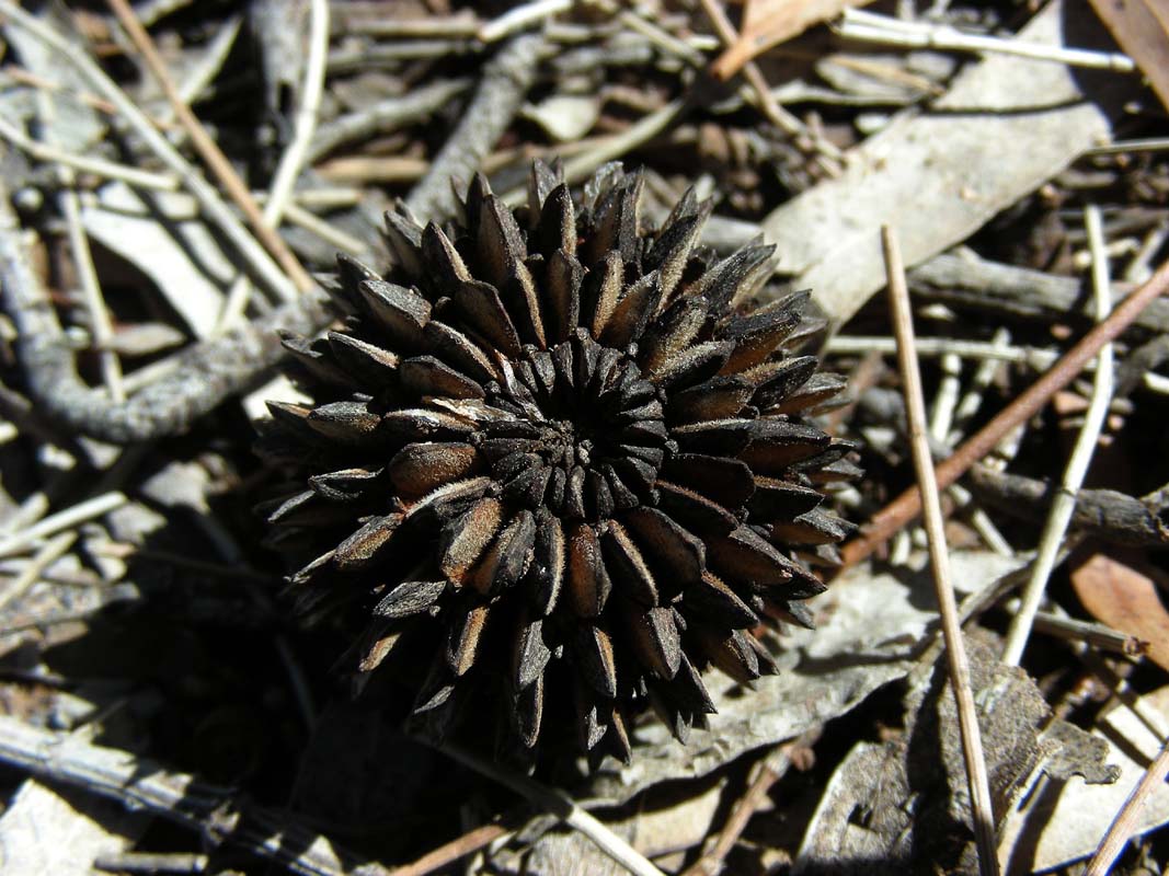
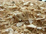
Even without lots of water it looks very nice with all the
ferns, mosses and the fungi growing on trees.

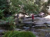
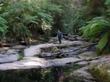
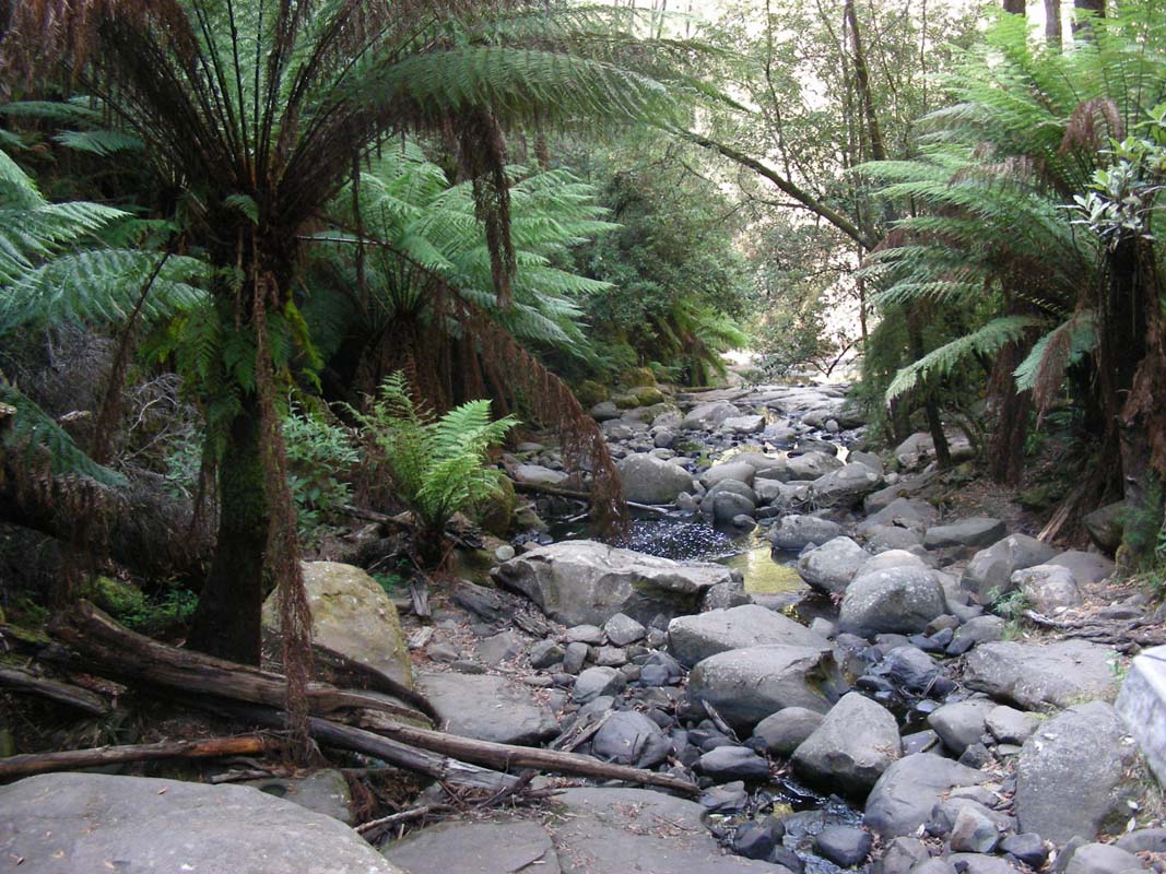
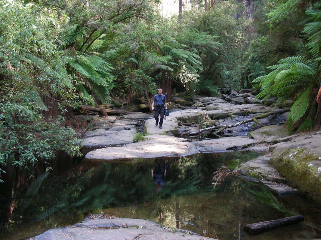
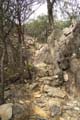
A walking track down hill leads through some interesting
sections of the creek bed.
And now we start understanding one of the warning signs ....
in case of a storm and a sudden flooding of the creek the
walking track could become a deadly spot!

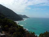
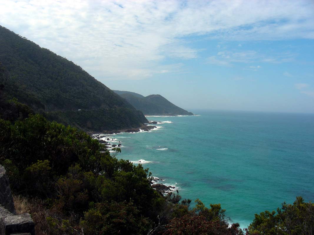
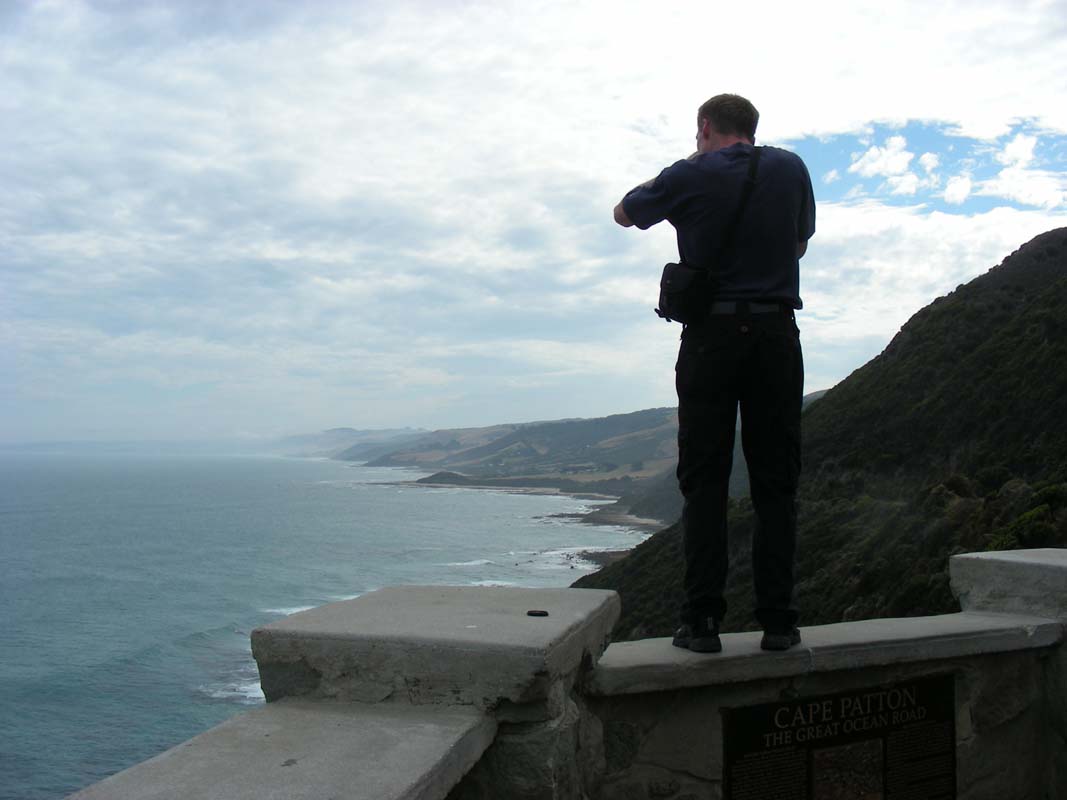
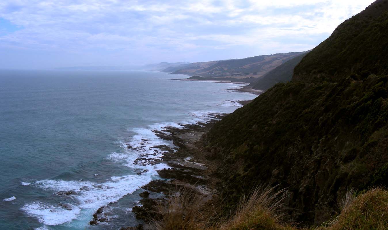
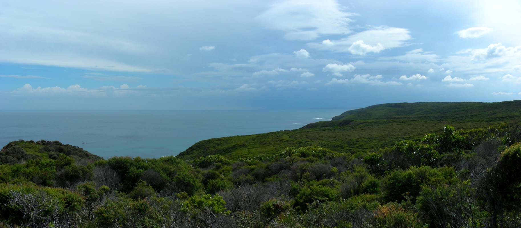
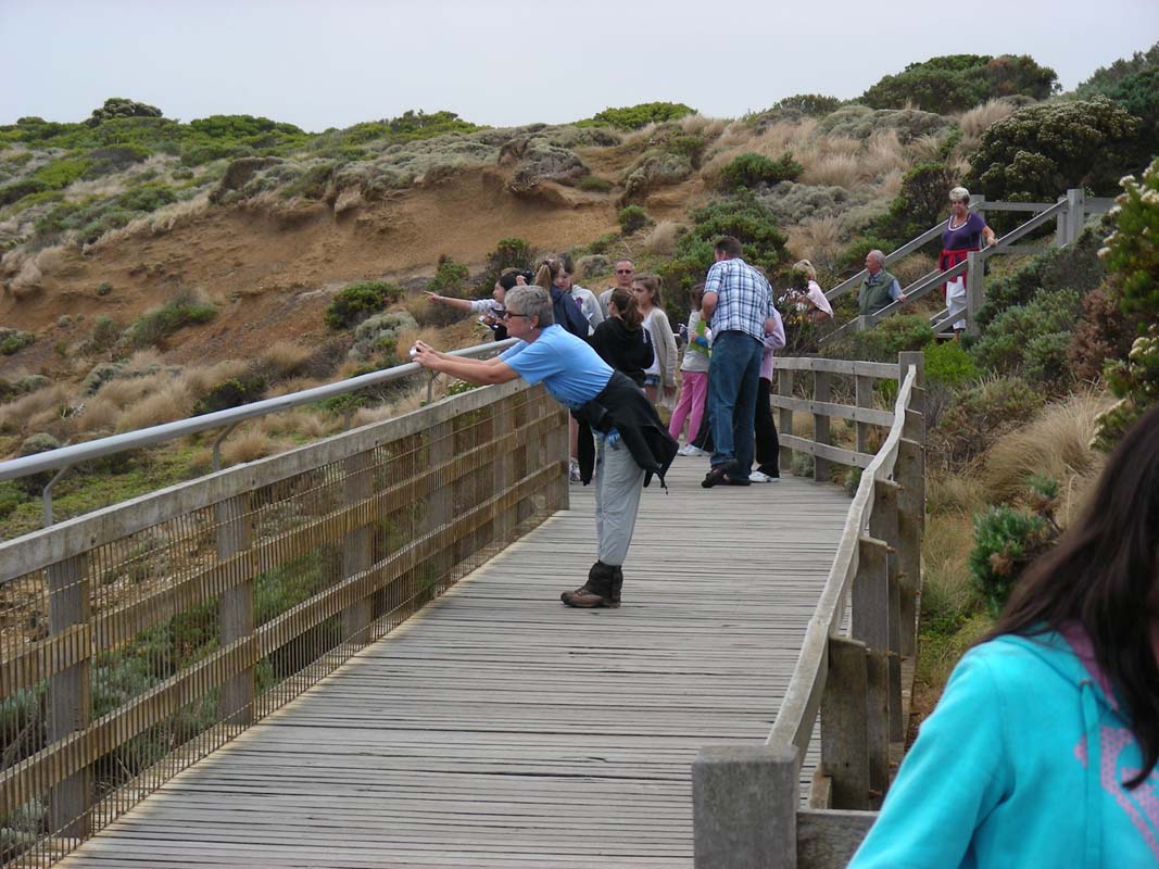
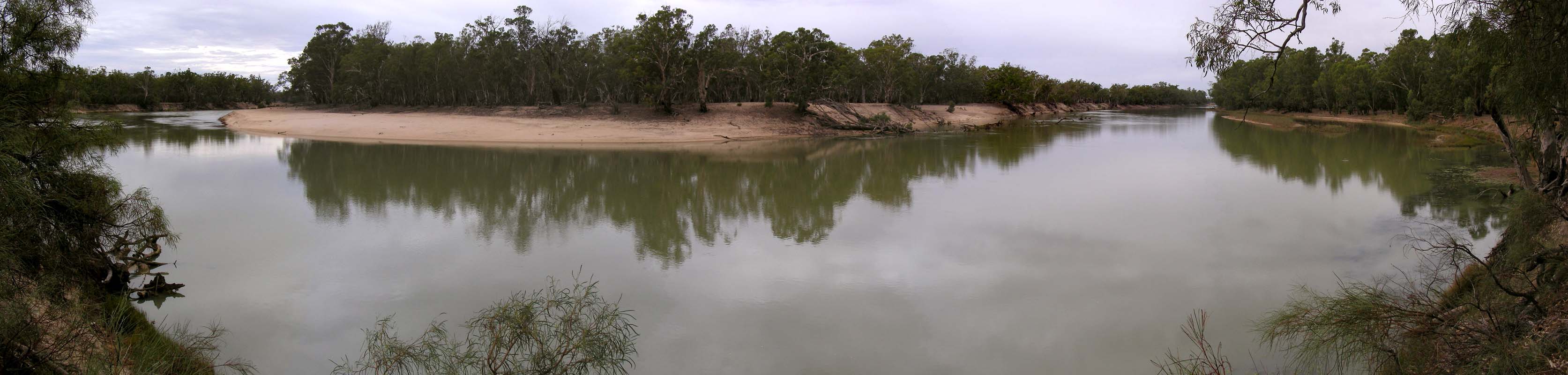
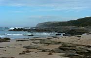
Then we continue on to Lorne where we
reach the coast again.
The views from Teddy's Lookout are worth
the short walk.
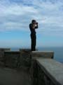
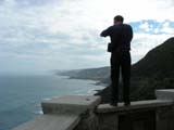
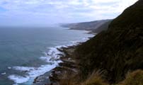
The weather is not too bad and we stop every so often to
enjoy the many lookouts.
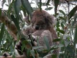

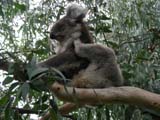

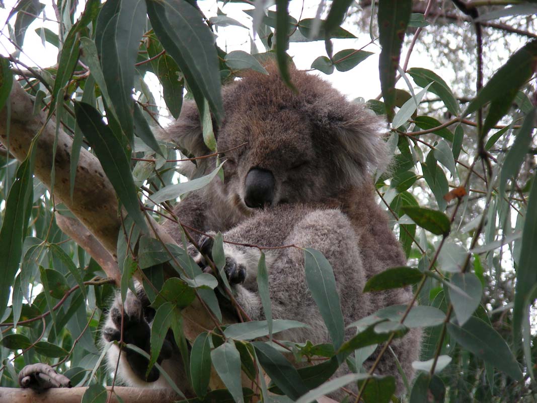
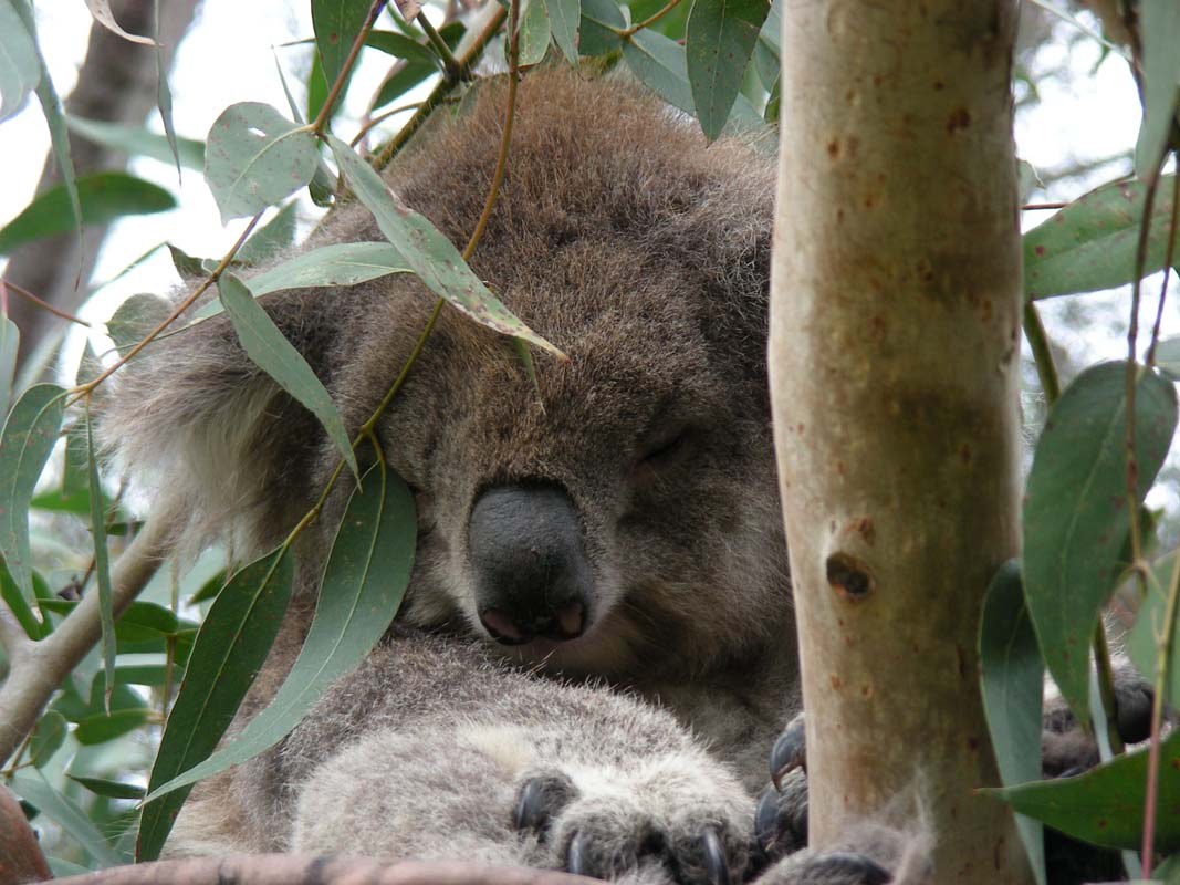
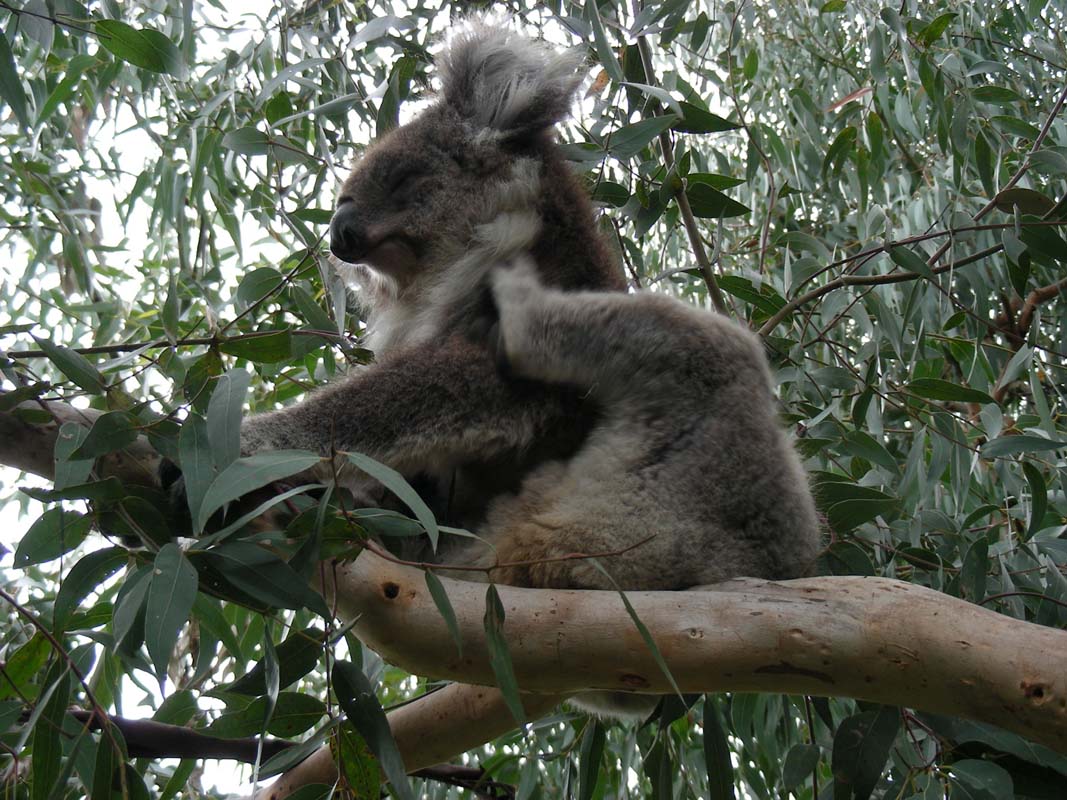
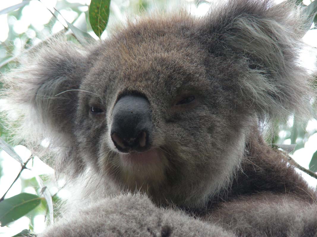
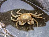
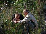
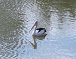
At Kennett River we find the Koalas as
described by the CFA officer last night.
They have planted a lot of the Eucalyptus trees that Koalas
like.
This attracts the Koalas which is great for us tourists.
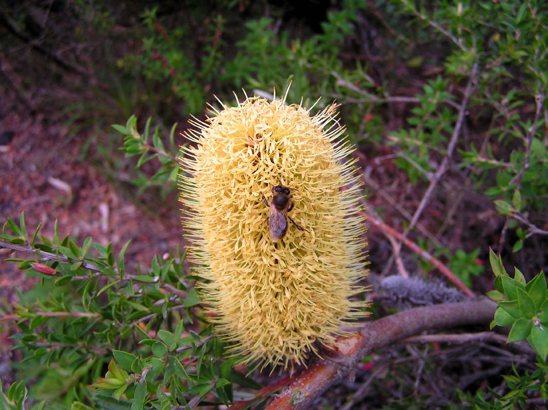
Have a look at the cuddly Koala by clicking here  . .
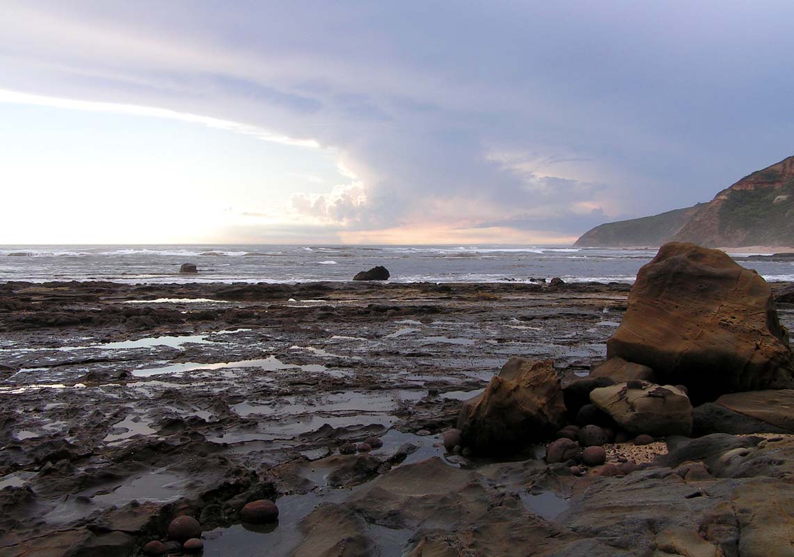
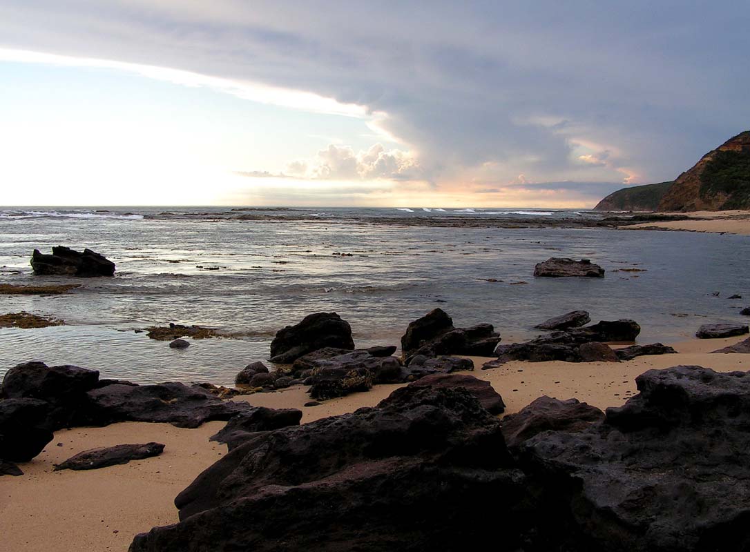
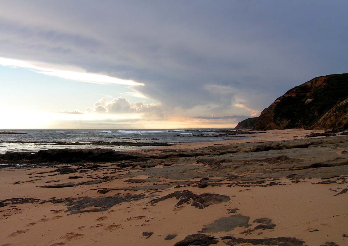
We continue on to Apollo Bay and then
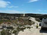
down towards the Otway Lighthouse.
The bush camp is full but luckily we find a spot for the
night on the parking area at Point Franklin.
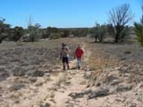
On Thursday morning Heidi, Peter and Simon leave towards
the tree top walk Otway Fly.
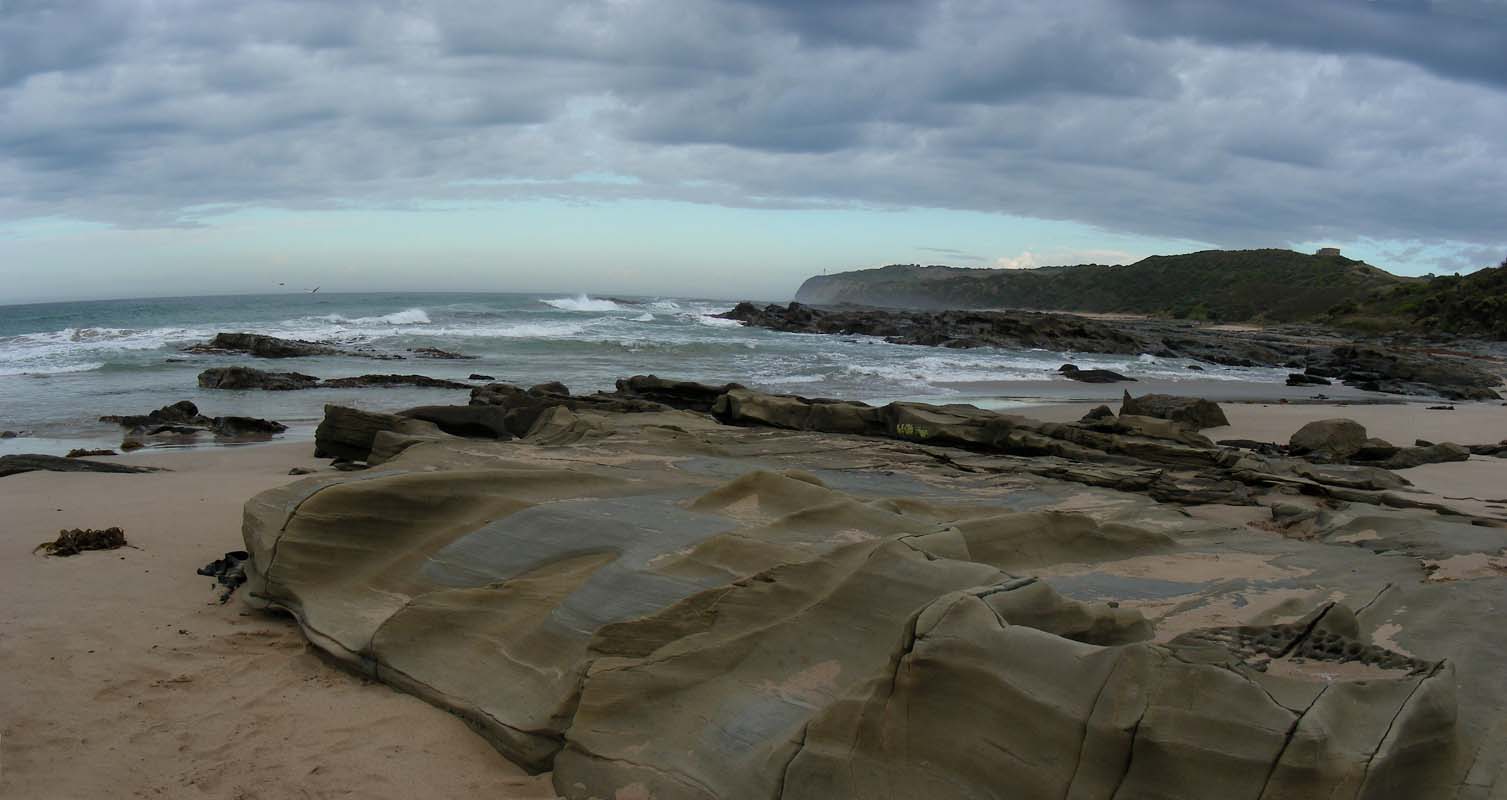
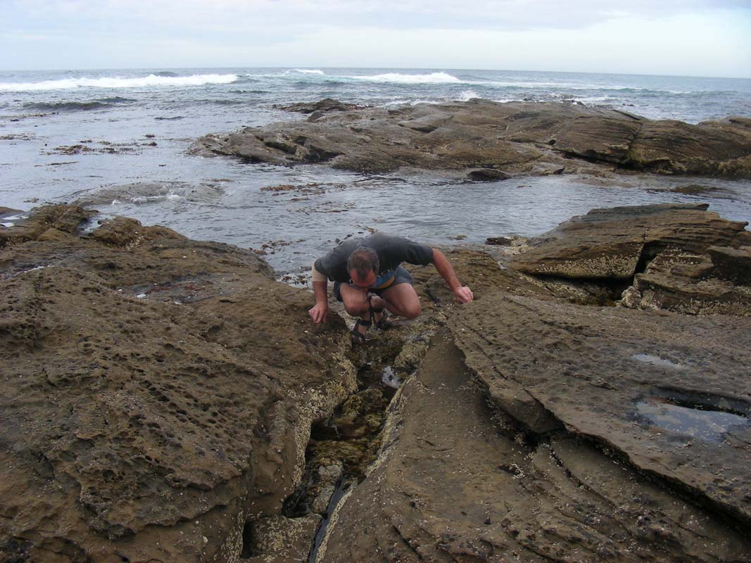
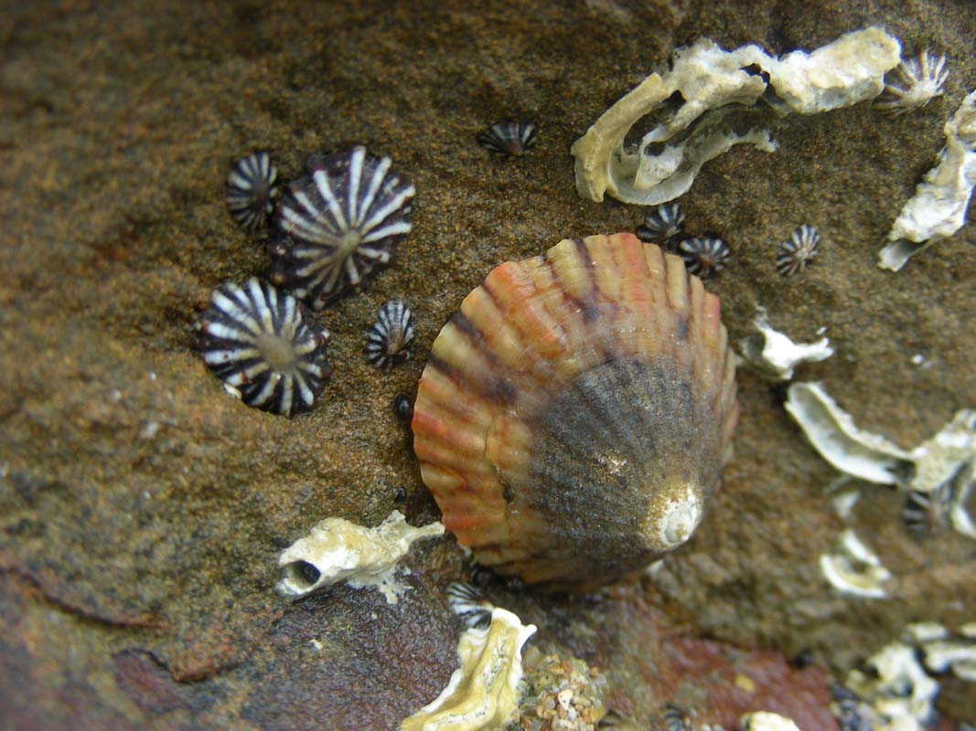
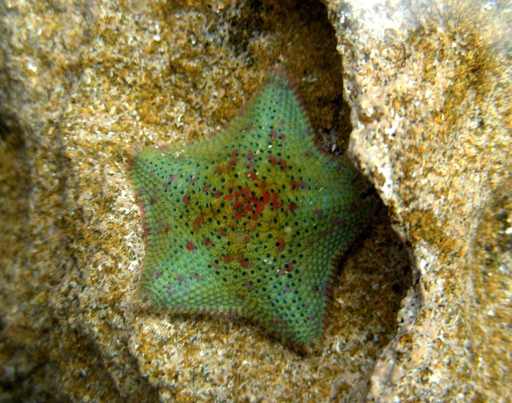
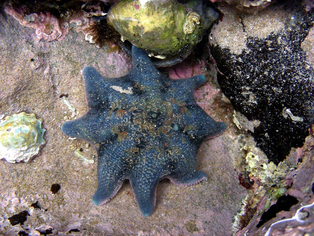
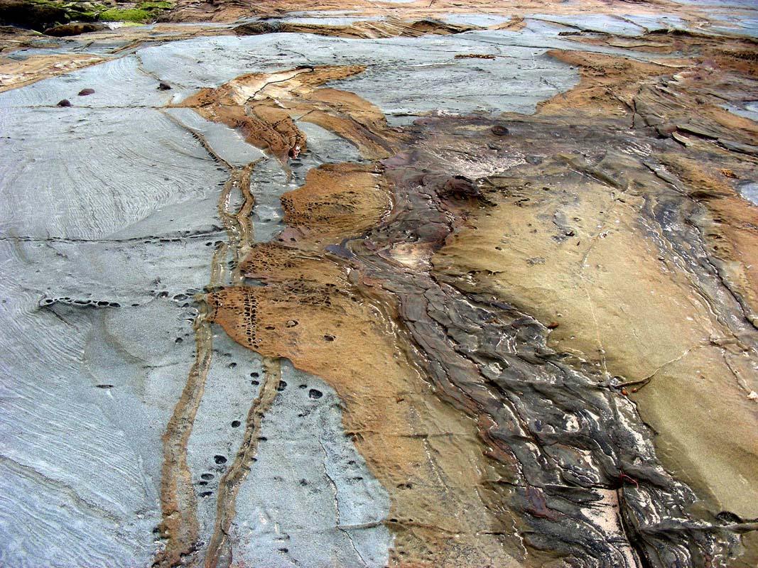
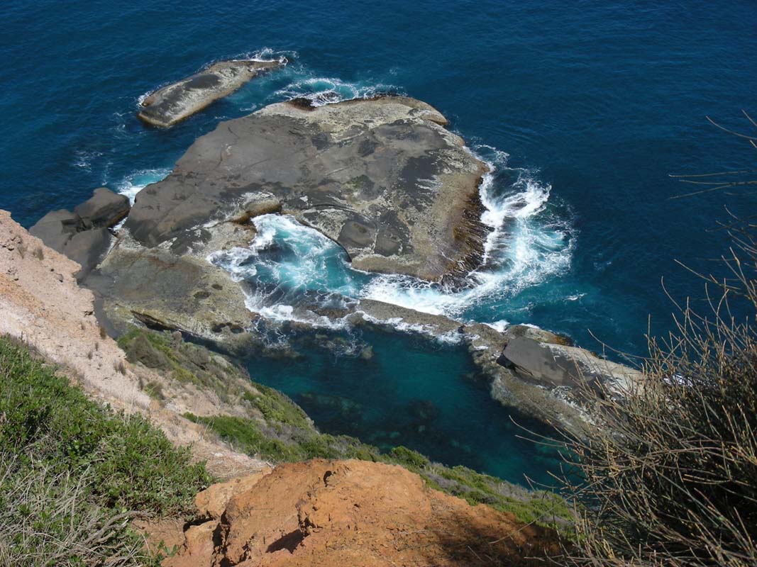
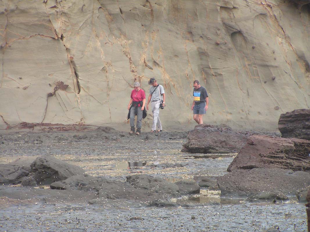
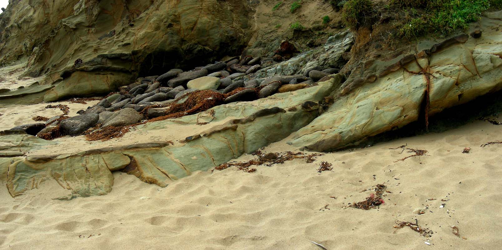
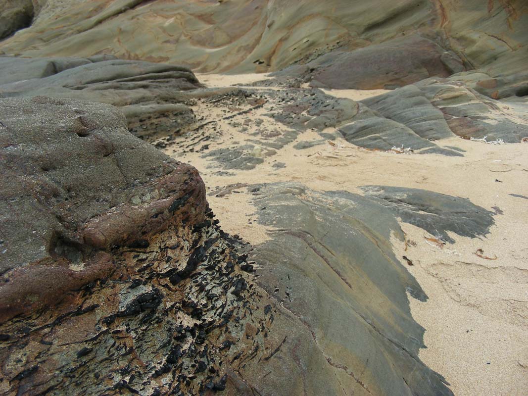
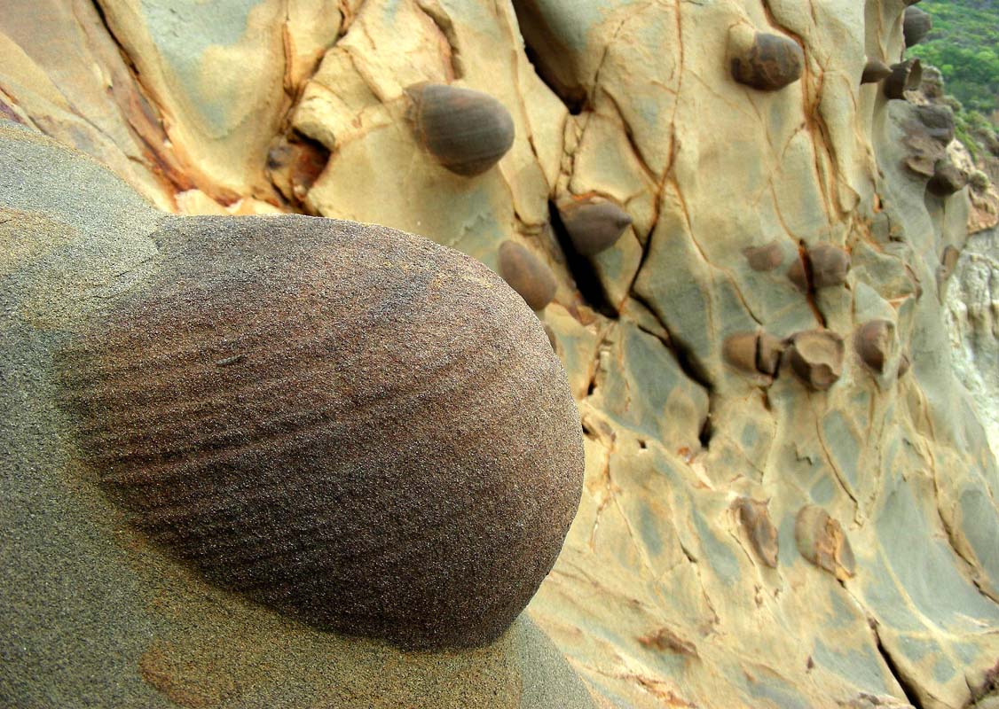
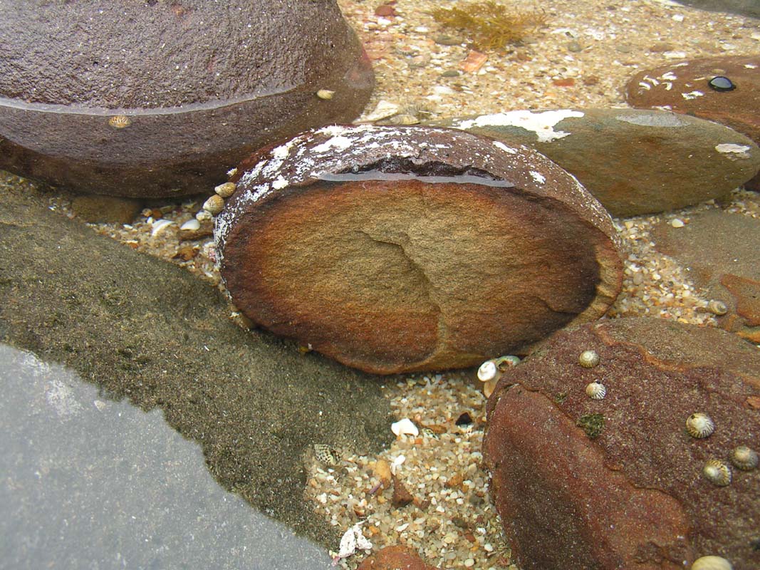
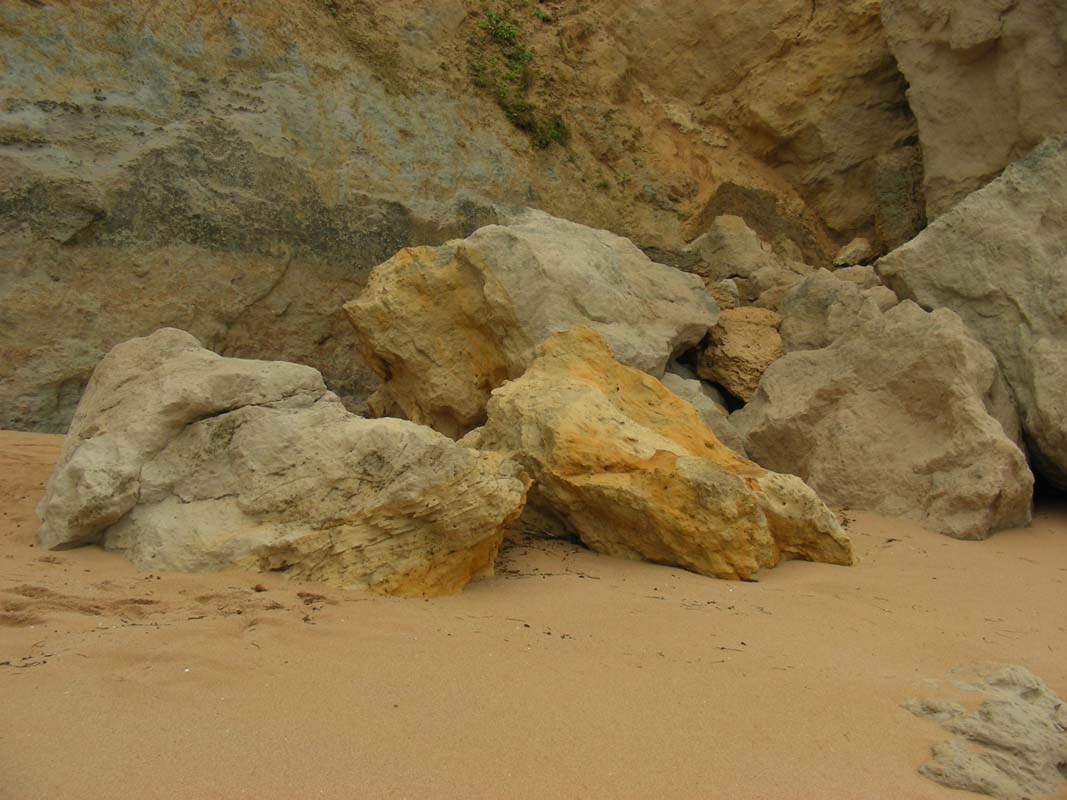
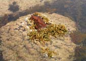
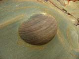
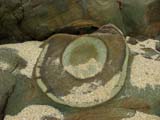
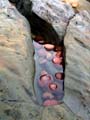
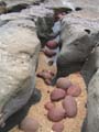
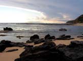
We take our time to stroll along the beach .....
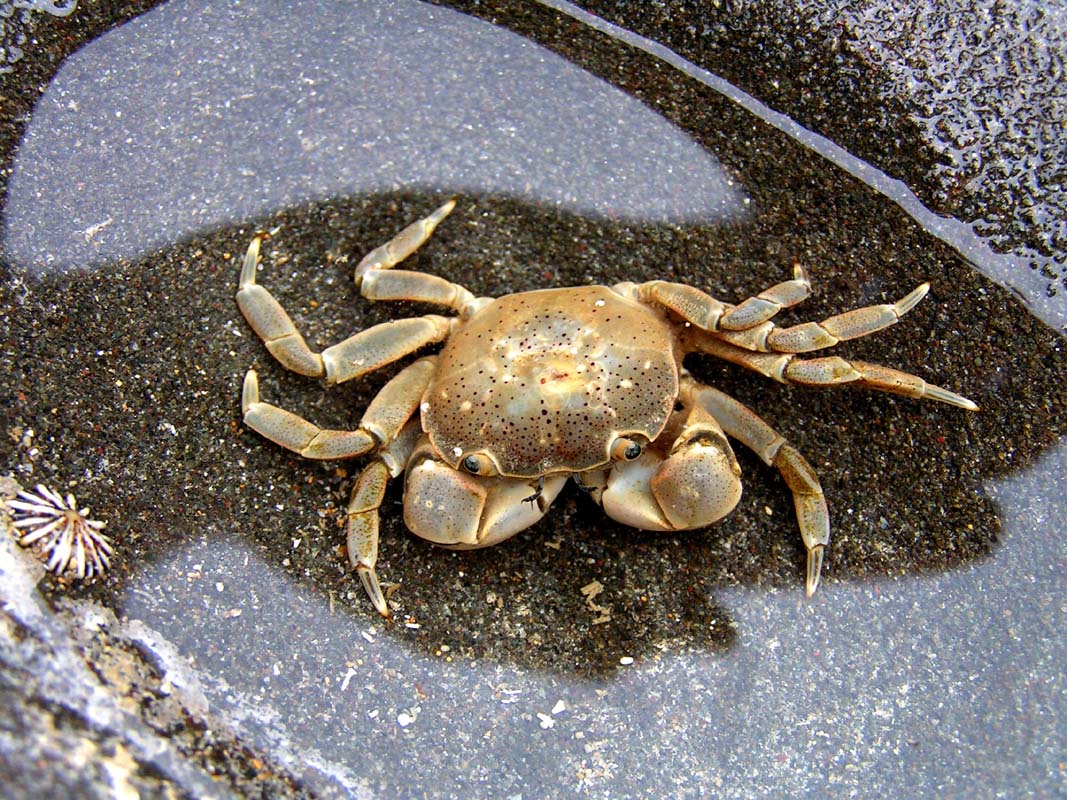
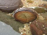
..... and have a look at the interesting rocks ...
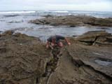


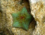
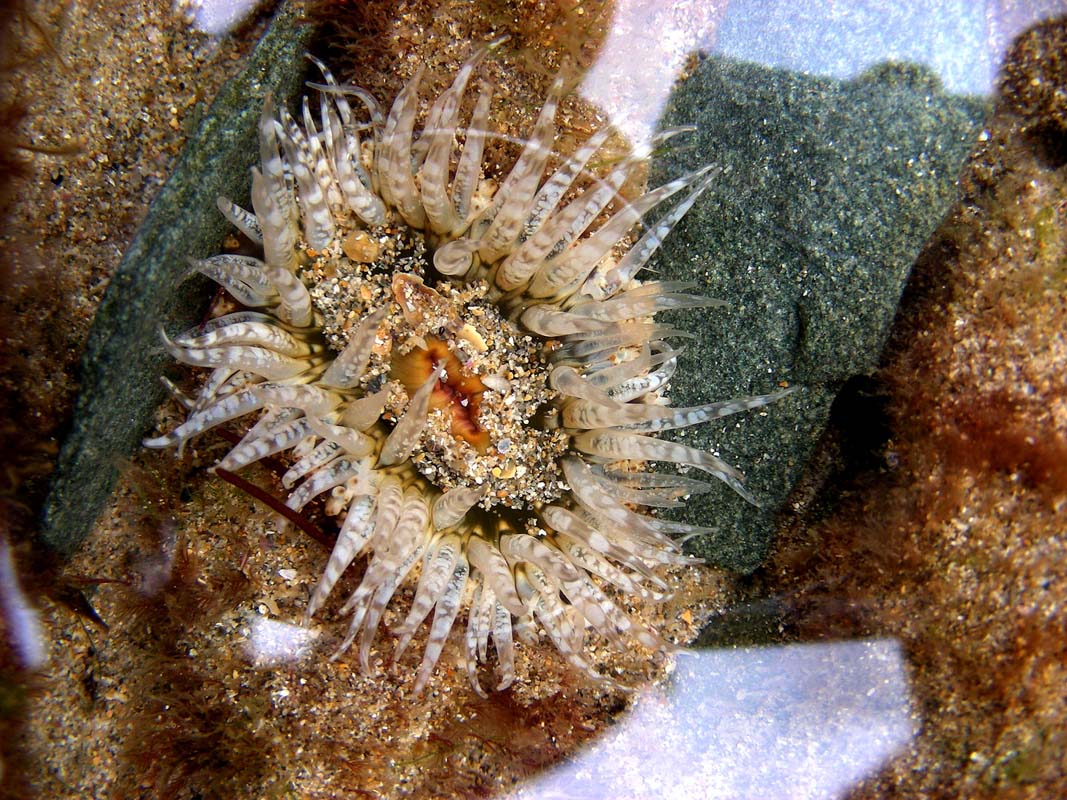
... and their inhabitants in the water.
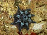
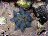
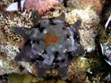
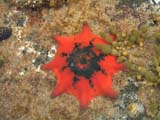
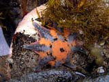
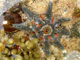
It is amazing to see the many different colours the same
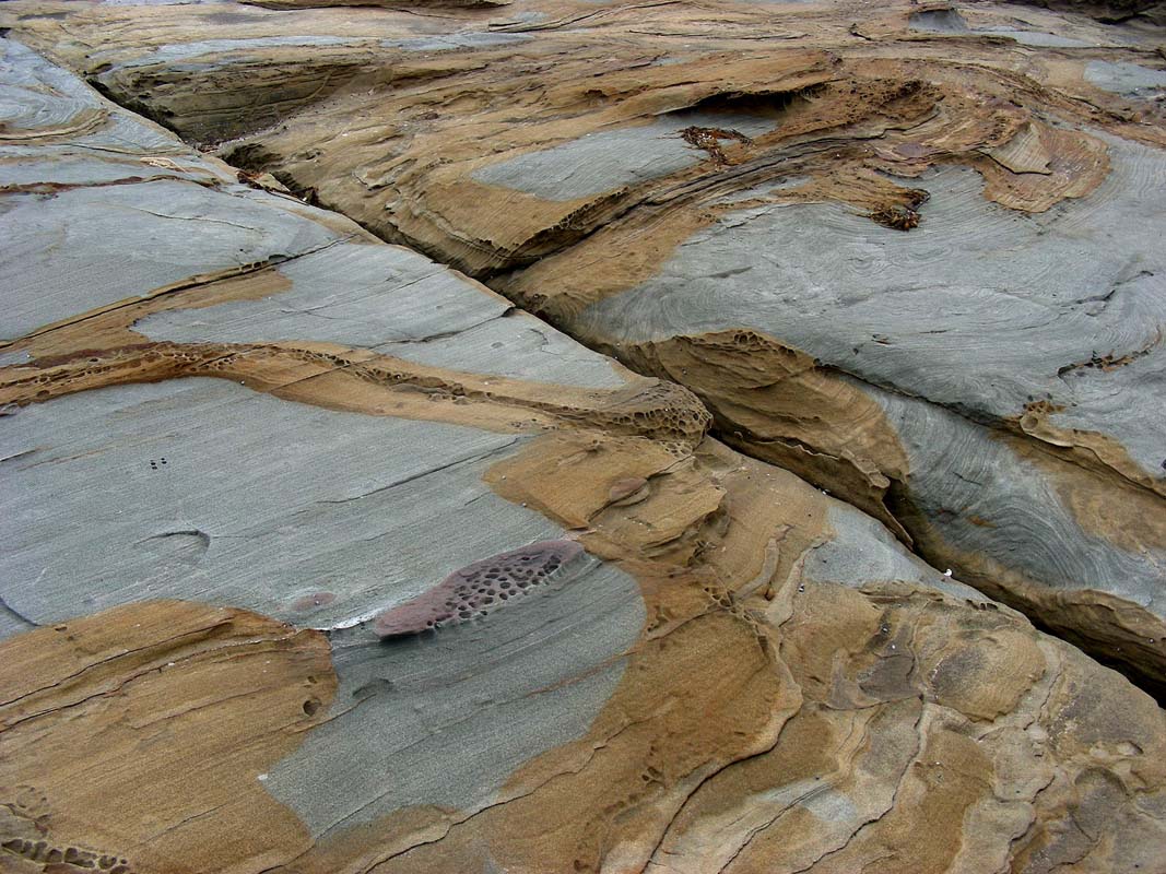
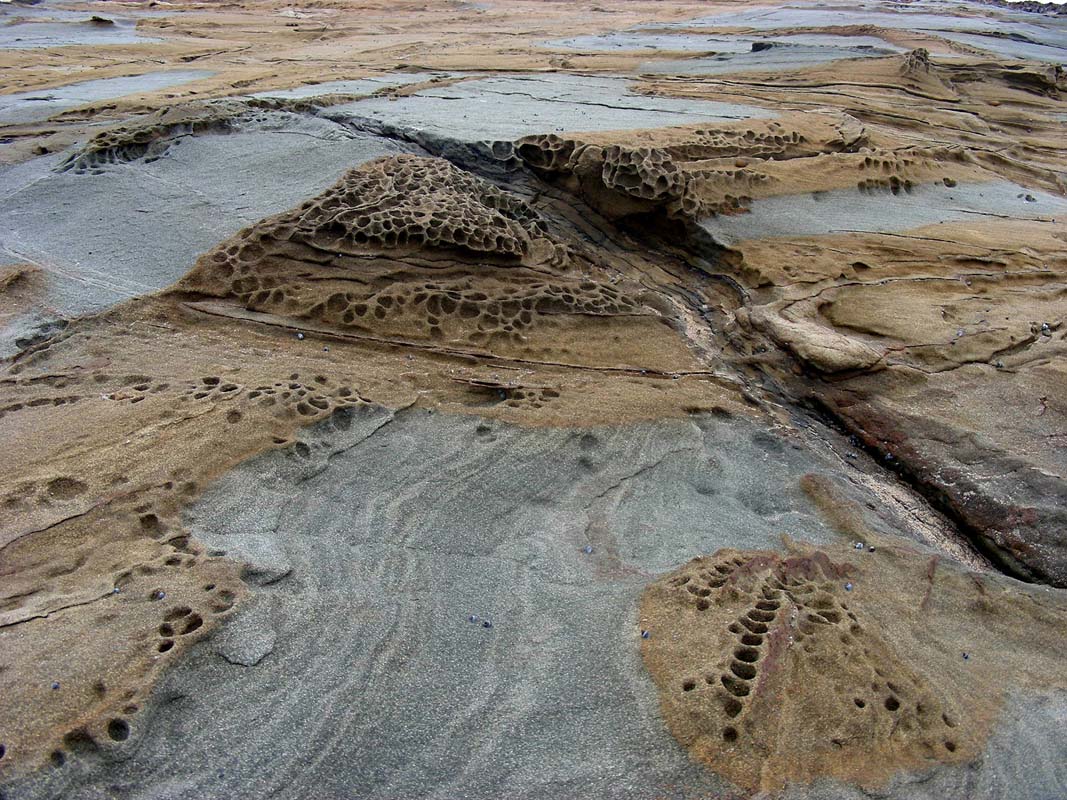
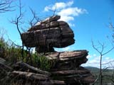
animal family can have!


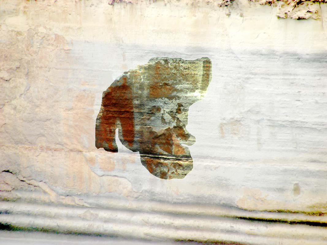
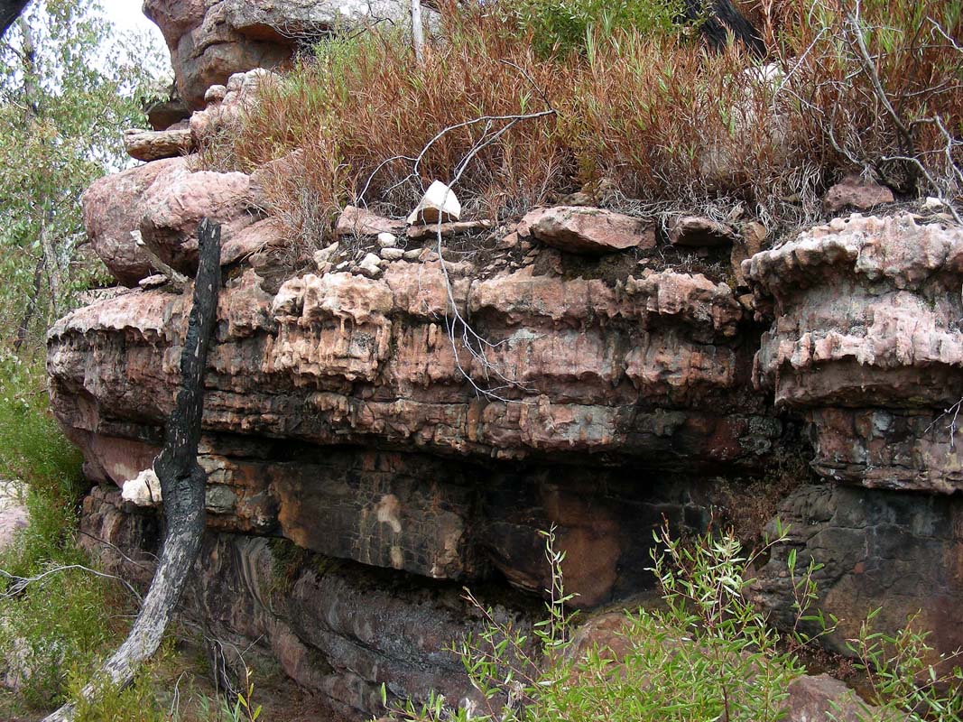
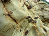
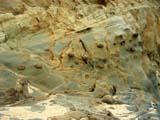
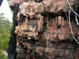
The different types of rock ... the veins of rock generating
the patterns ... the enclosures ....
... the formations generated by erosion ....
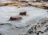
... and the details of their "workmanship" are
just incredible.
One sometimes wonders why nature is so lavish with colour
and texture .... if it was flowers or animals it was for
propagation purposes ... but rocks!
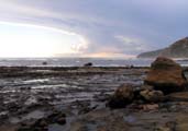
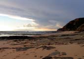
The day is not perfect but as the sun starts breaking through
we even get a reasonable view of the lighthouse.
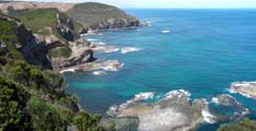
Too soon it is time to leave the beach and drive over to The
Gables lookout.
By now the sun has burned away the clouds and we grab the
opportunity to go to the lookout and enjoy the views.

Soon after our return to the OKA the sky starts getting
overcast and a thunderstorm starts building up.
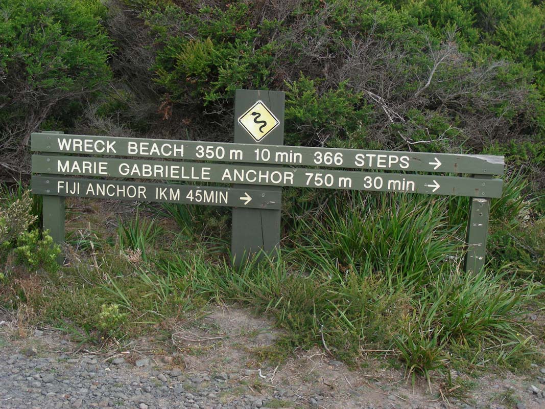
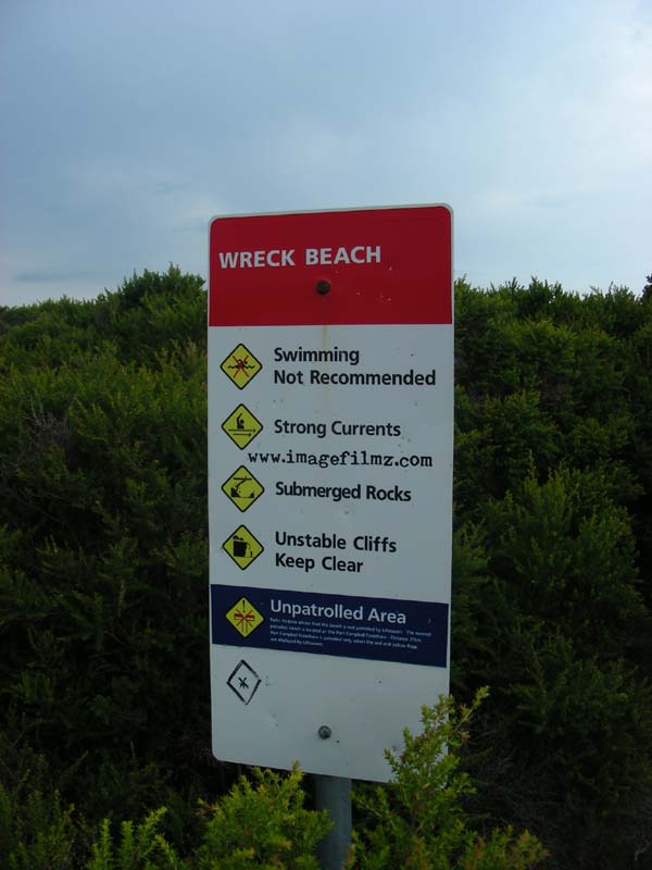
Heidi, Peter and Simon arrive and after they have also visited
the lookout we decide to drive down to Wreck Beach.
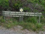
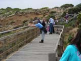
A sign advises that it is 366 steps down to the beach .....
we decide to count them on the way up .... gives you a good
reason to walk slower and catch your breath in between ....
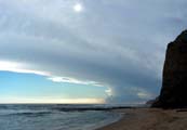
The sun breaking through the clouds looks pretty but the
weather doesn't look to promising.
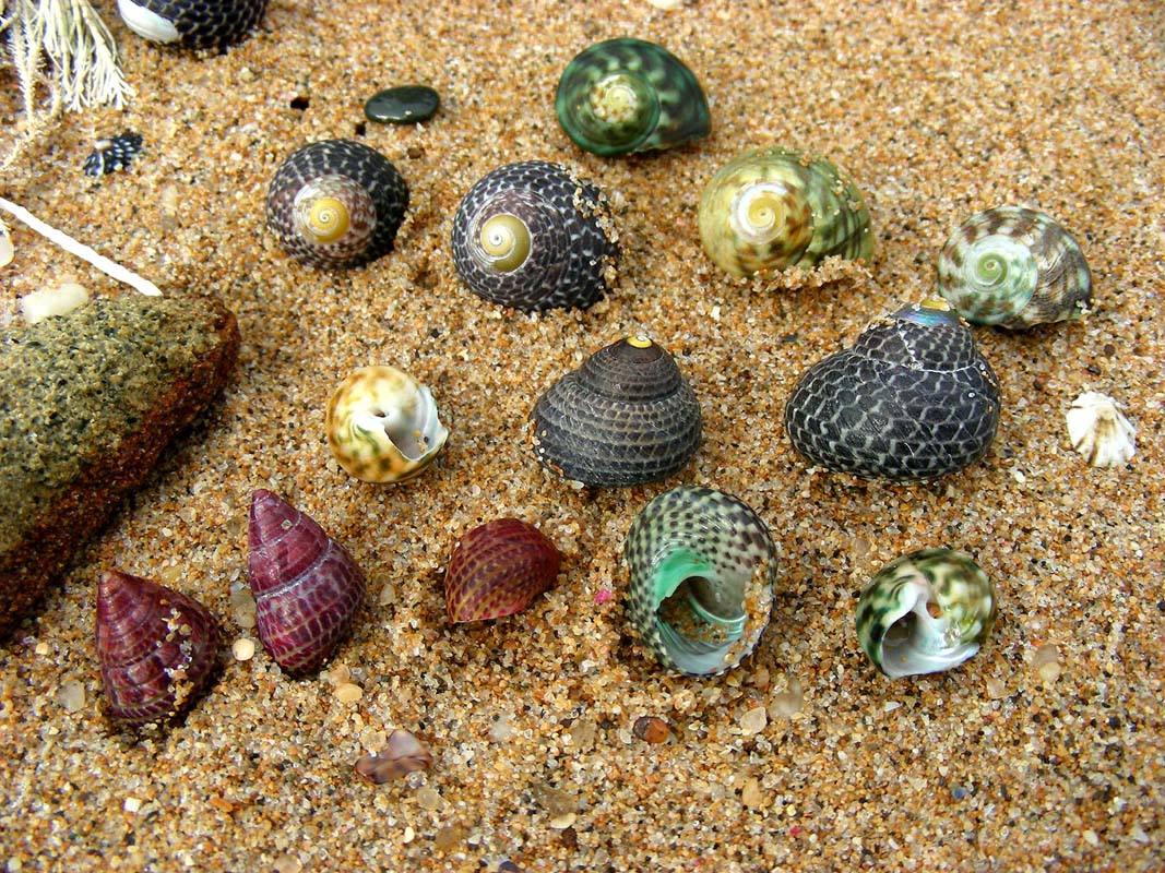
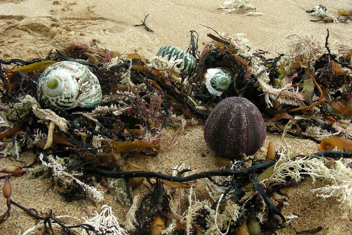
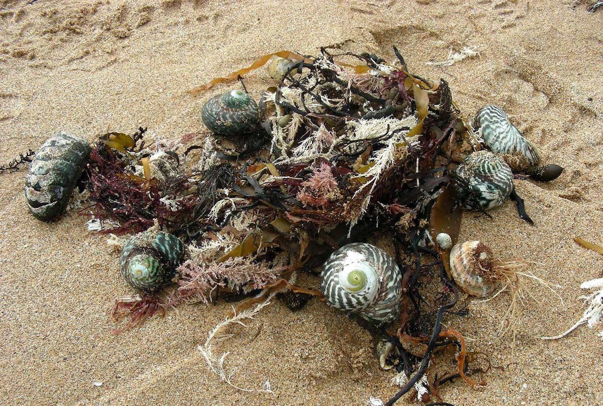
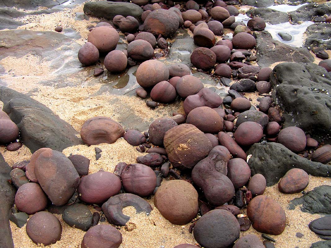
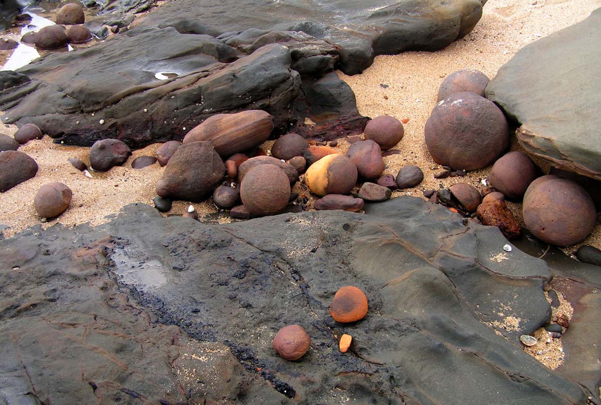
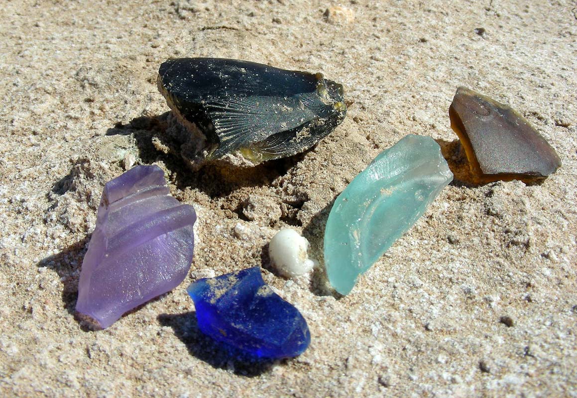
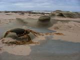
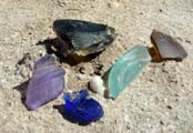
We take the risk of a sprinkle and start exploring the beach.
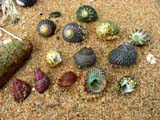
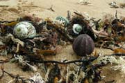
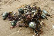
And are we rewarded with lots of shells and pretty setups
at the sandy beach!
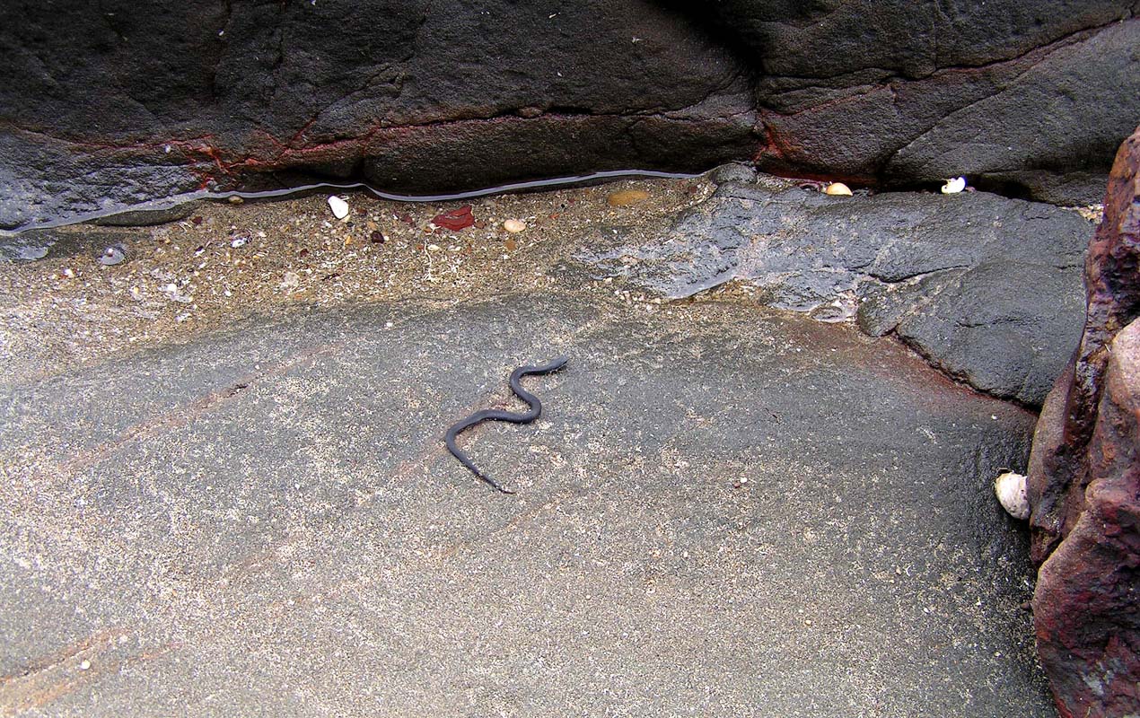
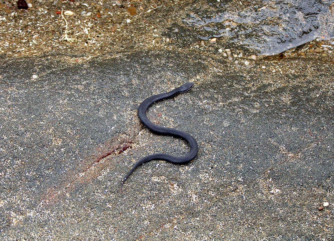
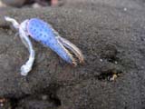
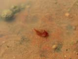
A bit further down some interesting "water gardens" and
their inhabitants can be found ....
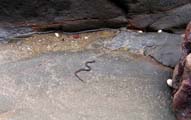
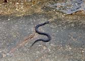
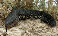
... which also include snakes (remember the warning sign
at the top?)
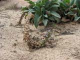
When checking with our reptile book we match it with the
picture of the harmless Masters' Snake (Drysdalia masterii)
because of the white stripe on its head.
But we are not very good at identifying snakes.
Should you have another opinion on what it is please let
us know. Thanks.


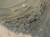

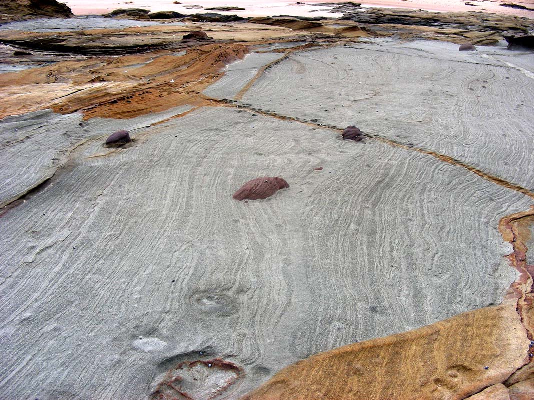
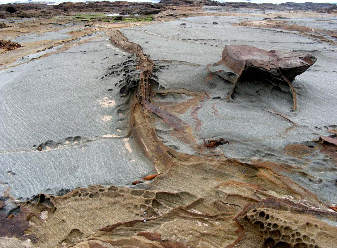
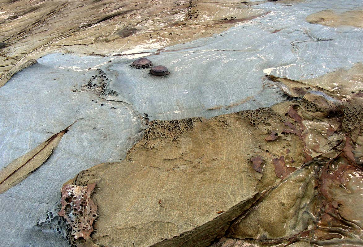
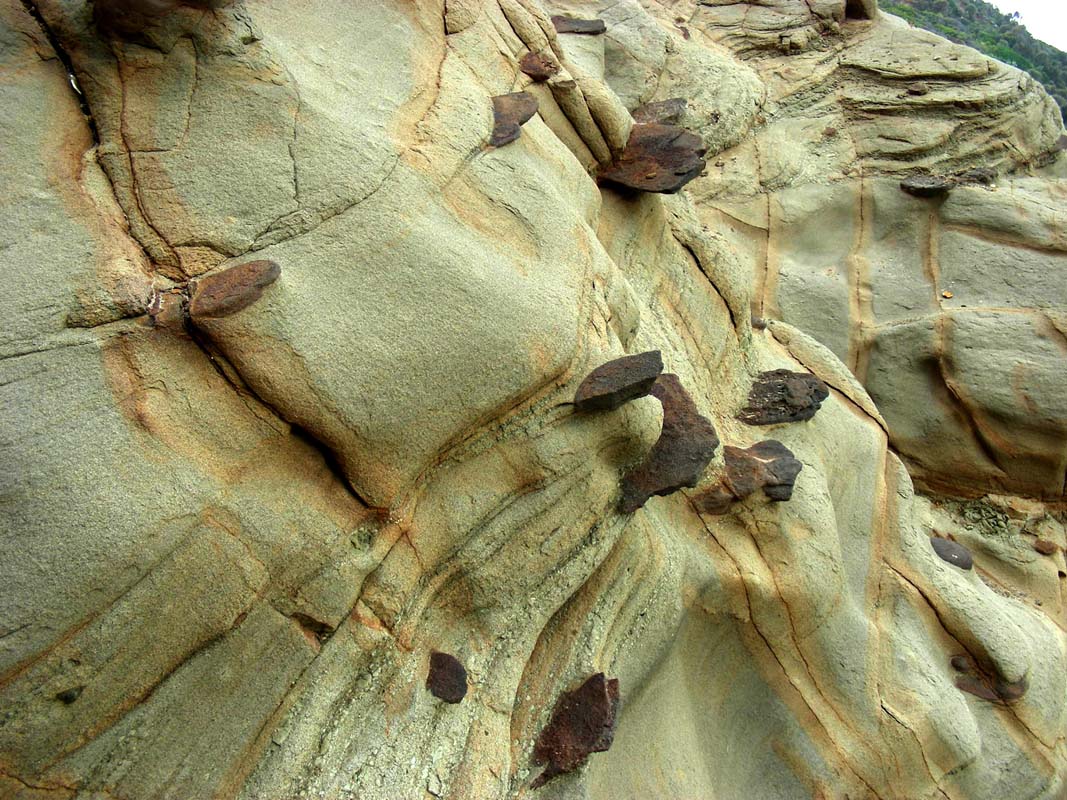
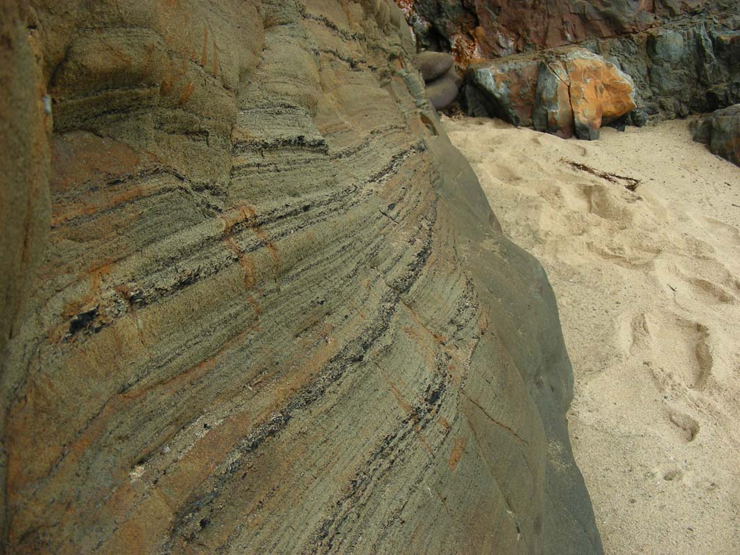
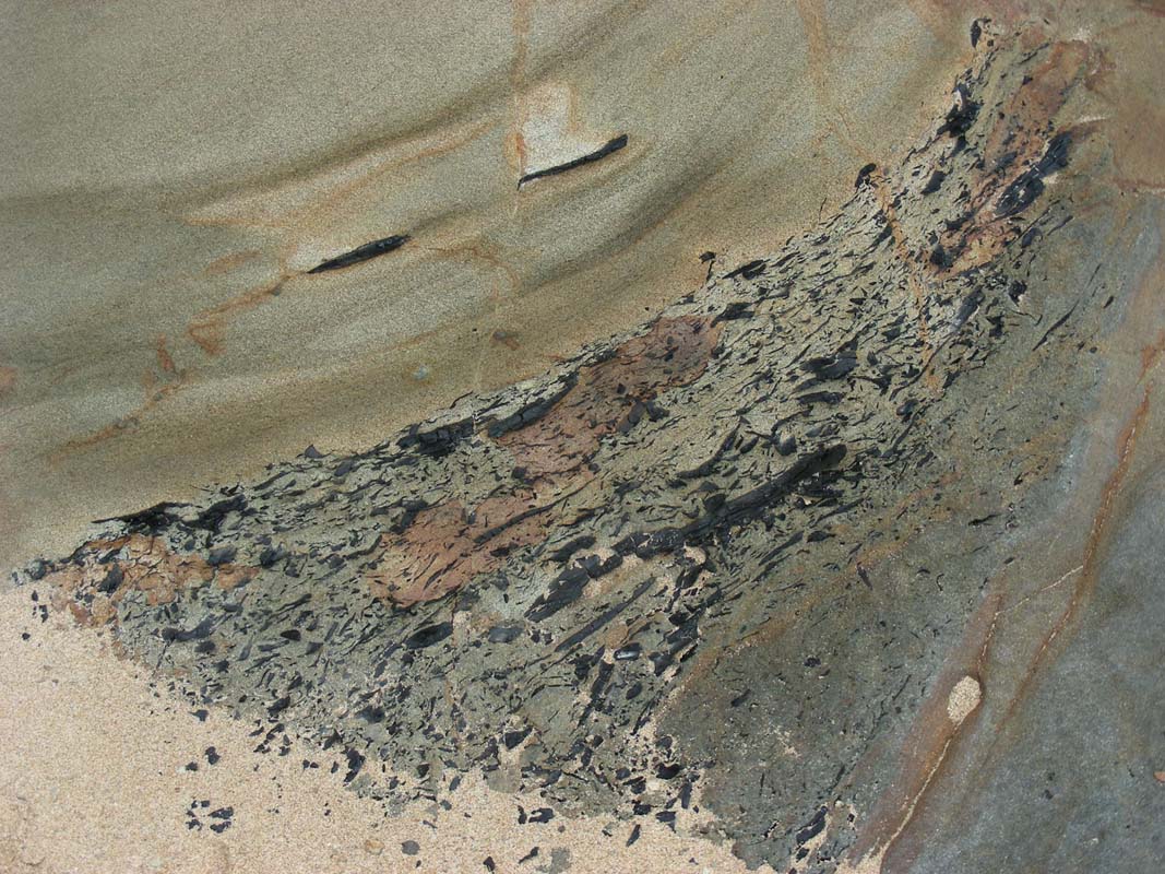
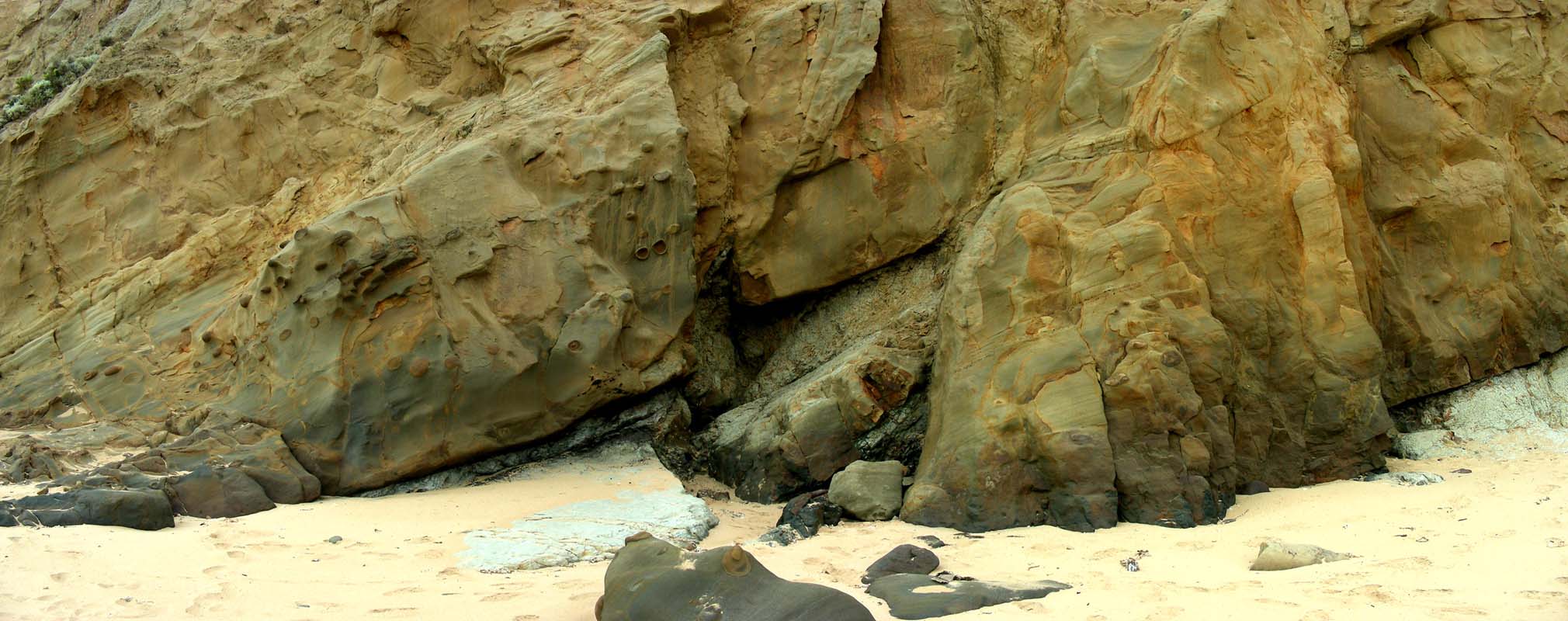
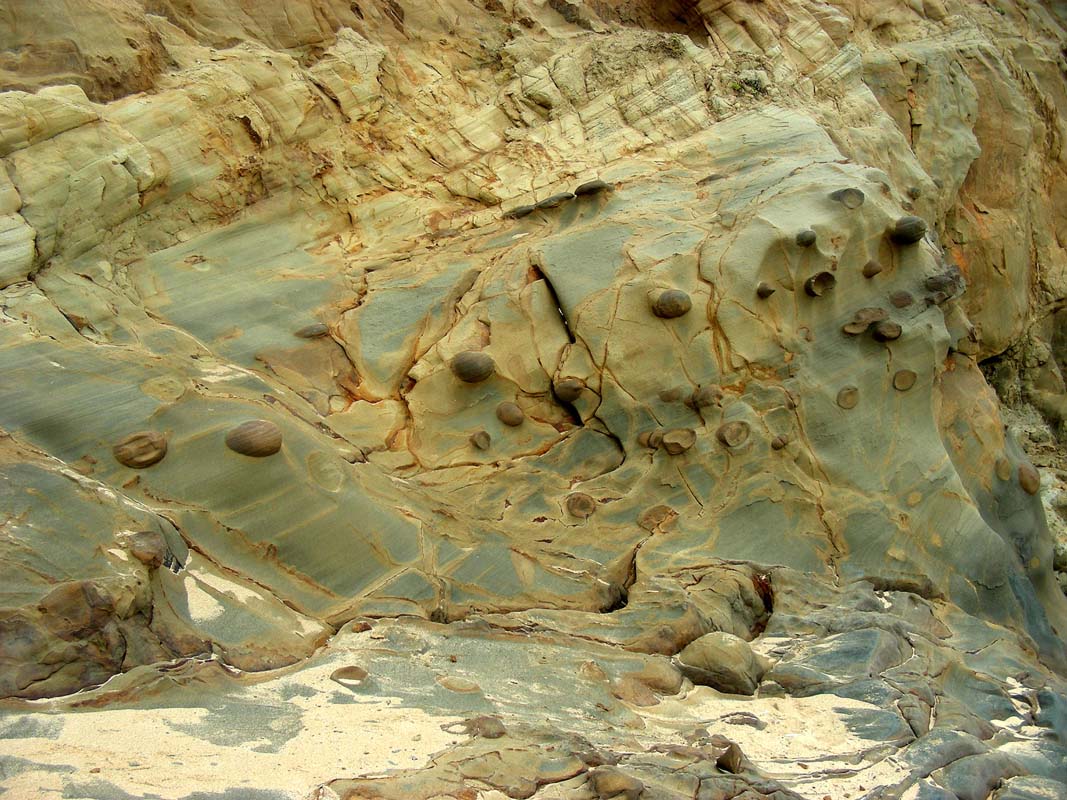
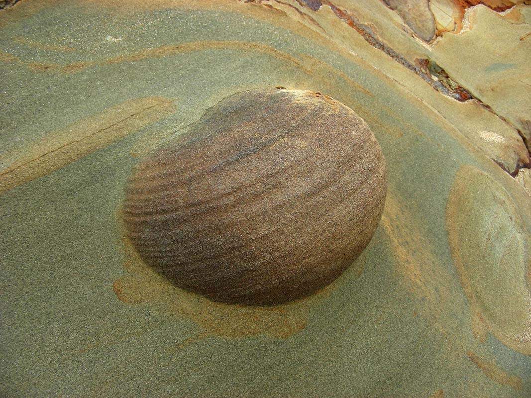
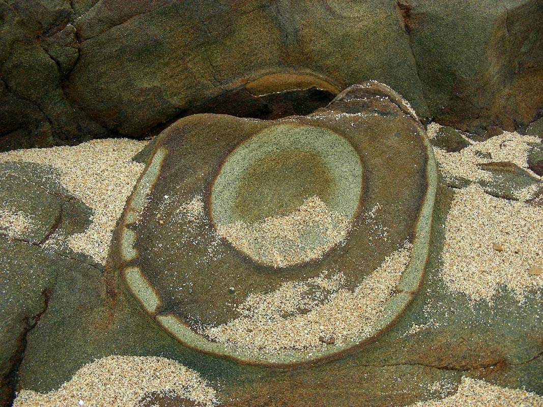
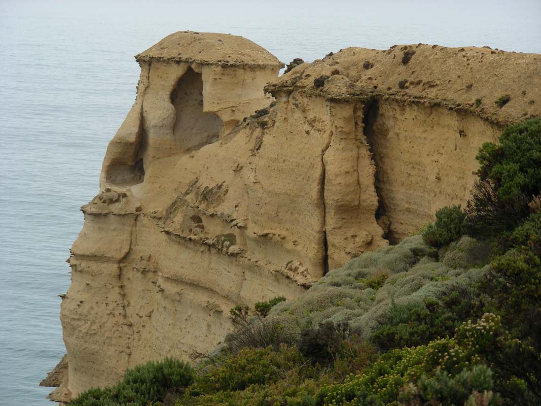
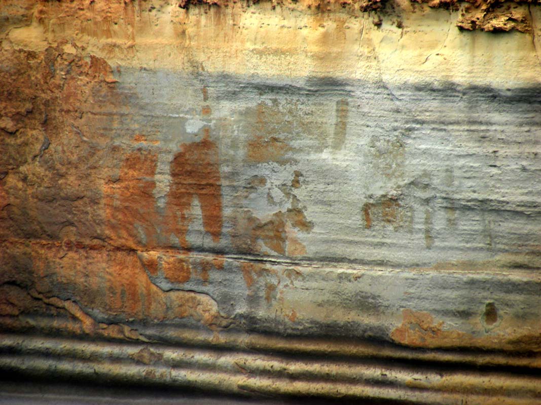
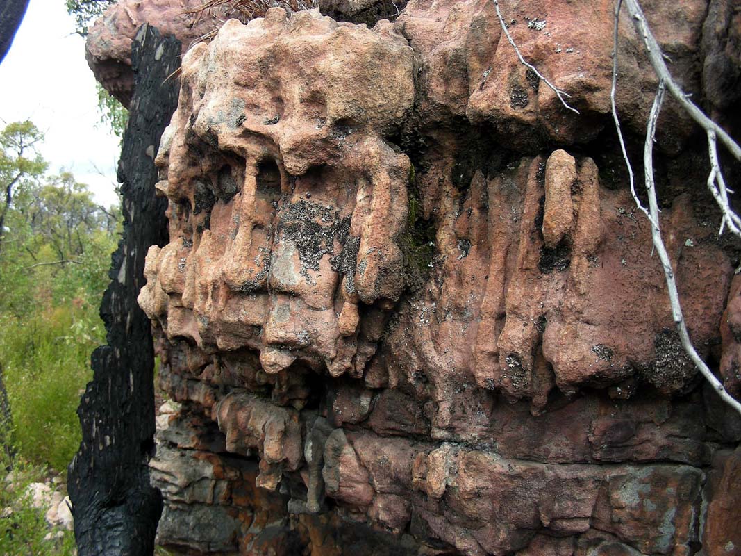
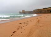
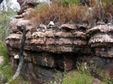
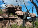
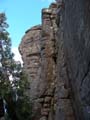
The rock formations are incredible and vary within a short
distance.
In one section layers of coal are clearly visible.


Some of the cliffs along the beach are made of sandstone
and have enclosures of different colour and hardness that
are exposed by the wind and the water.
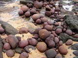
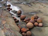
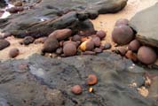
Erosion has created some very colourful setups ....
We spend hours at the beach and have a great time.
Too soon it is evening and we have to return to the campers
.... but first we have to climb the steps ....
Actually there are 376 real steps and 7 water by-passes that
could be counted as steps too ...
It's a good exercise too!
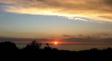
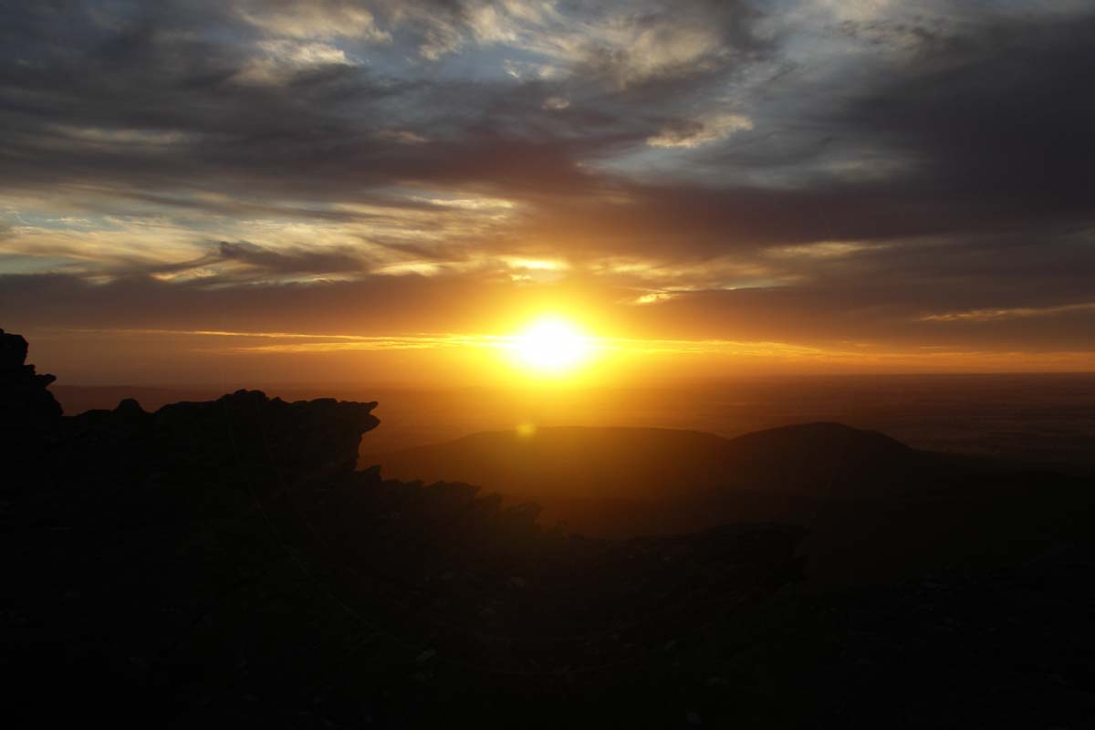
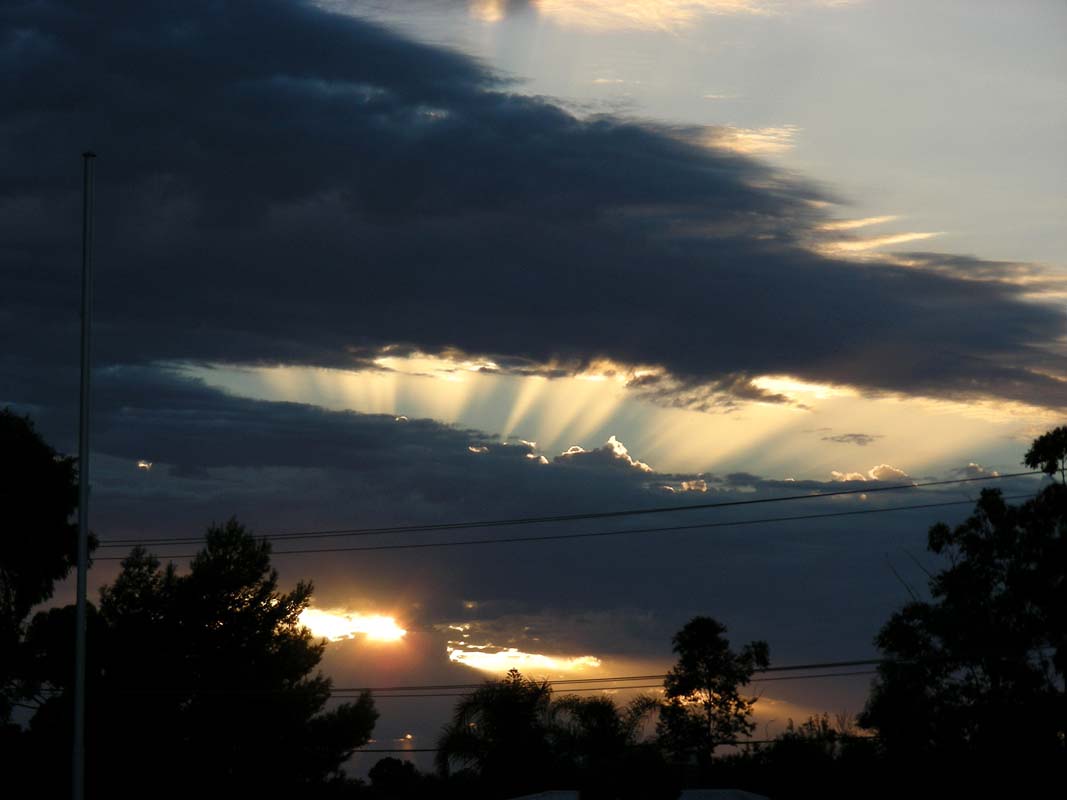
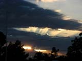
In the evening the sun sets with an incredible sunset.
On Friday, March 13, we wake up to thick fog.
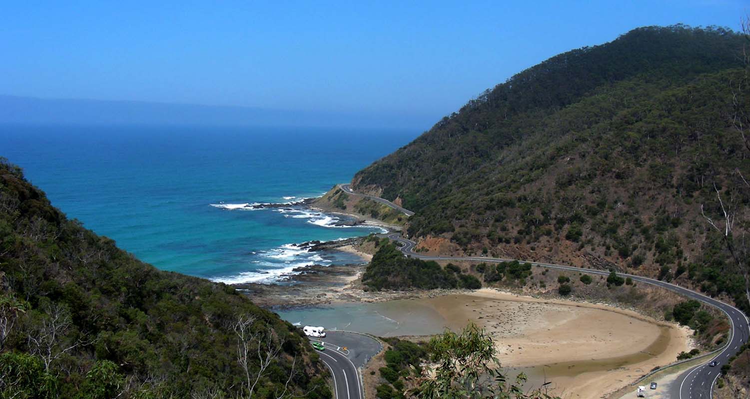
Still we decide to pack up and start driving the Great Ocean
Road.
For the one that have no idea what the Great Ocean Road
is all about here a quick introduction:
|
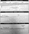 |
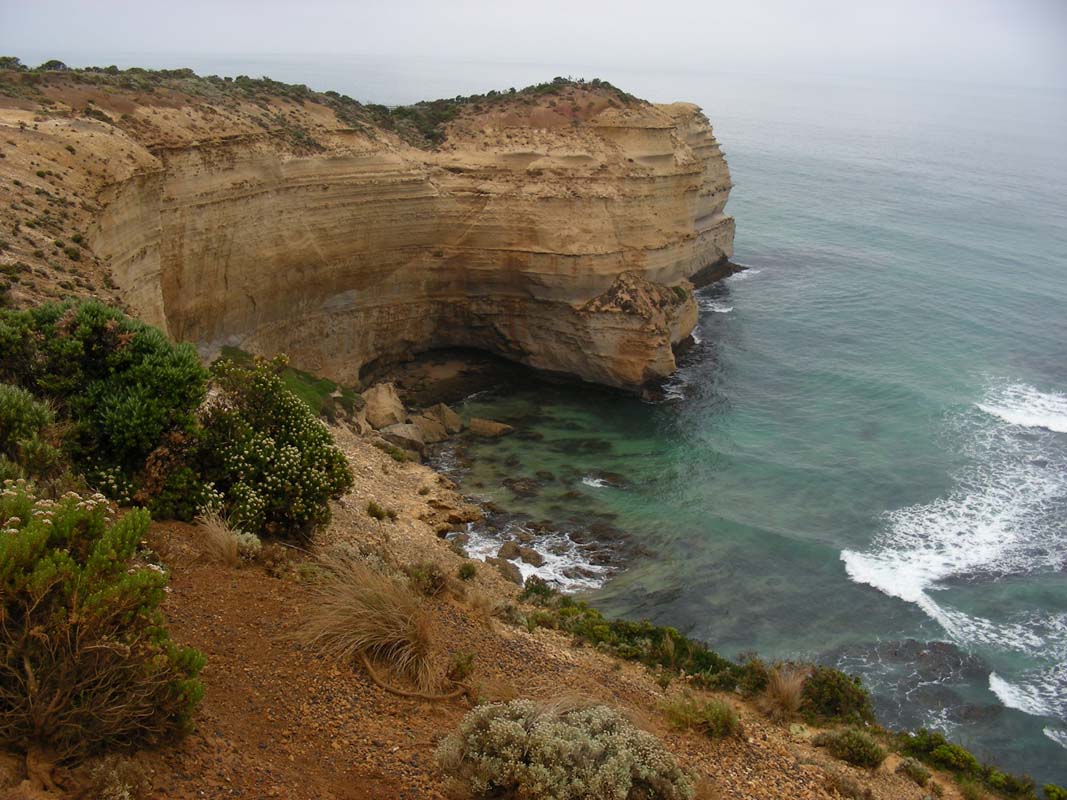
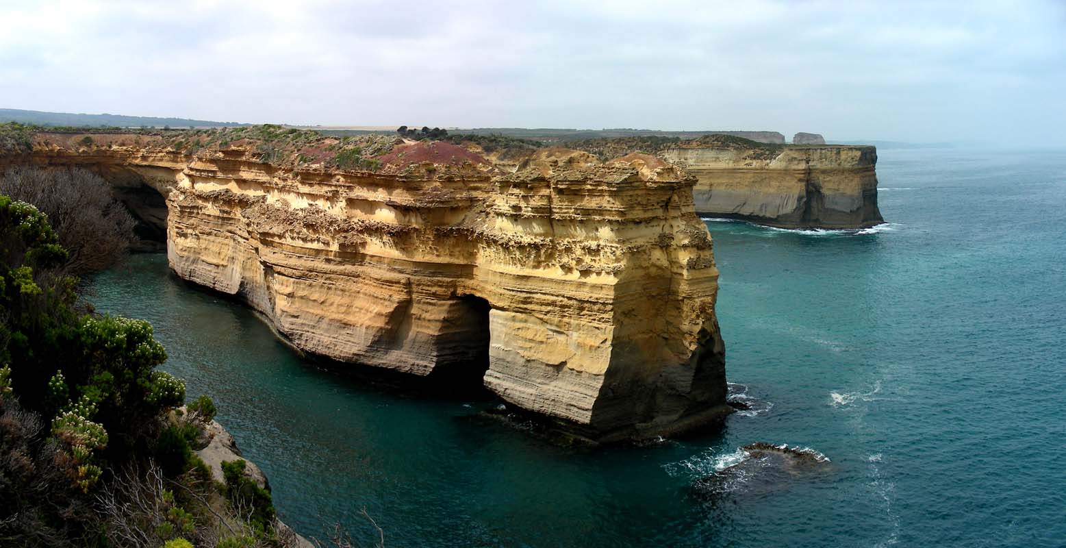
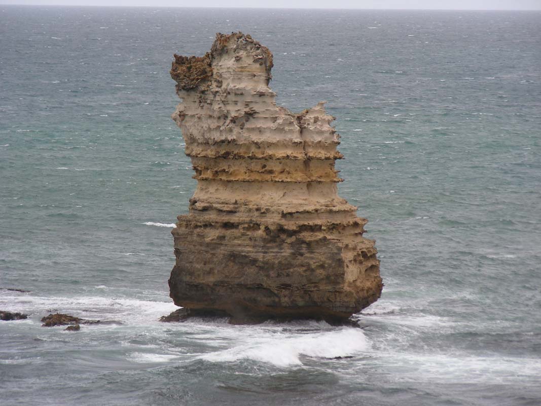
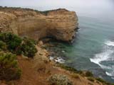
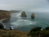
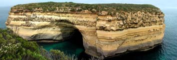
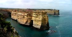
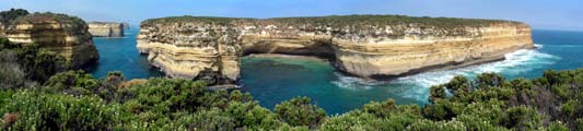
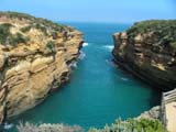
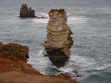
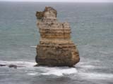
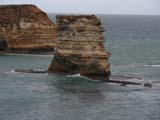
The spectacular cliffs of Port Campbell
National Park are made of soft marine limestone.
About 10 to 20 million years ago, during the Miocene
period, the sea level was much higher than it is today,
reaching as far inland as Hamilton and Ballarat.
Formation of the limestone rock began under the sea
with the deposition of marine animal's skeletons, mainly
shellfish and calcium rich algae, collecting on the
sea floor.
Around 5 million years ago during the last Ice Age
(the Pliocene period) the sea level dropped and exposed
the sea floor as a vast plain bridging Victoria to
Tasmania. From about 18'000 years ago, the sea rose
again, partly covering the plain.
The shaping of the coast's cliffs and sculptured rock
stacks has been forming since then as rainwater seeps
through cracks and the relentless battering of the
sea undercuts the cliff edge. |
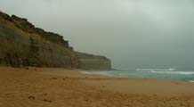

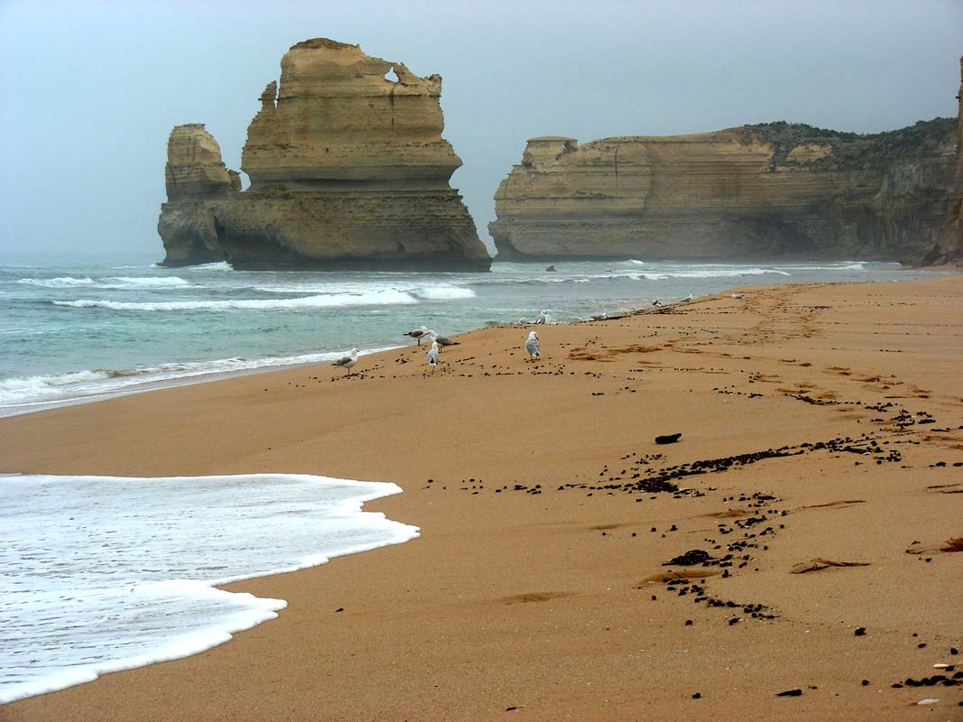
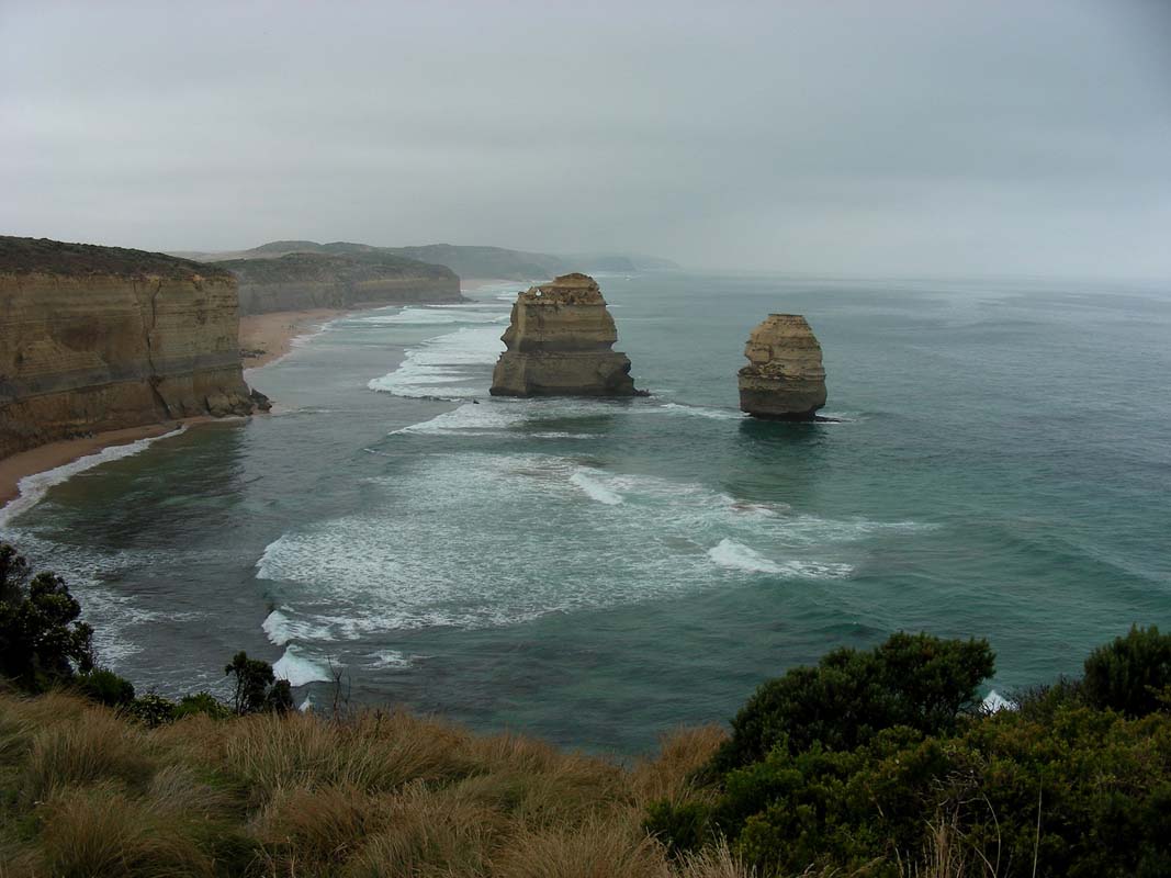
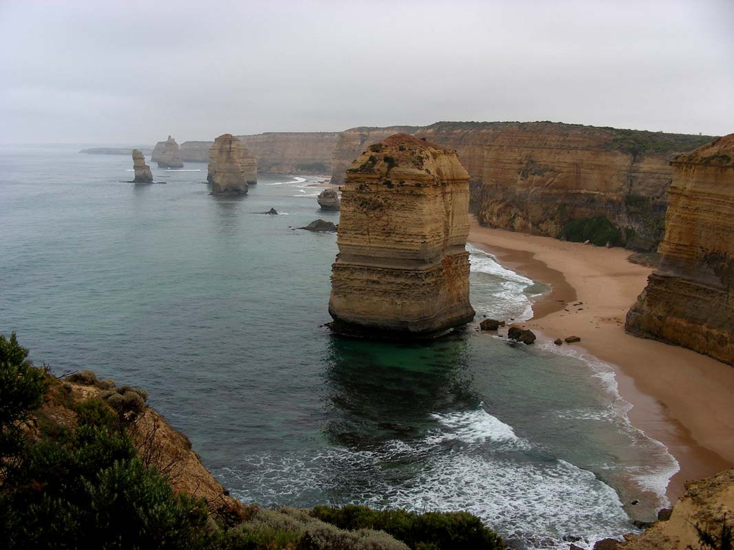
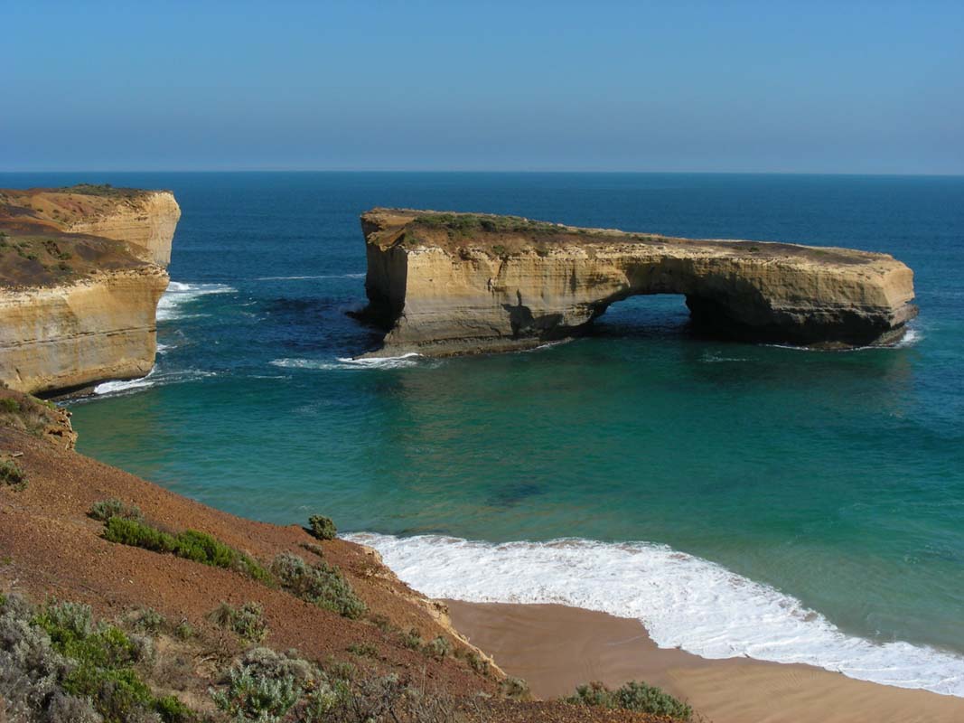
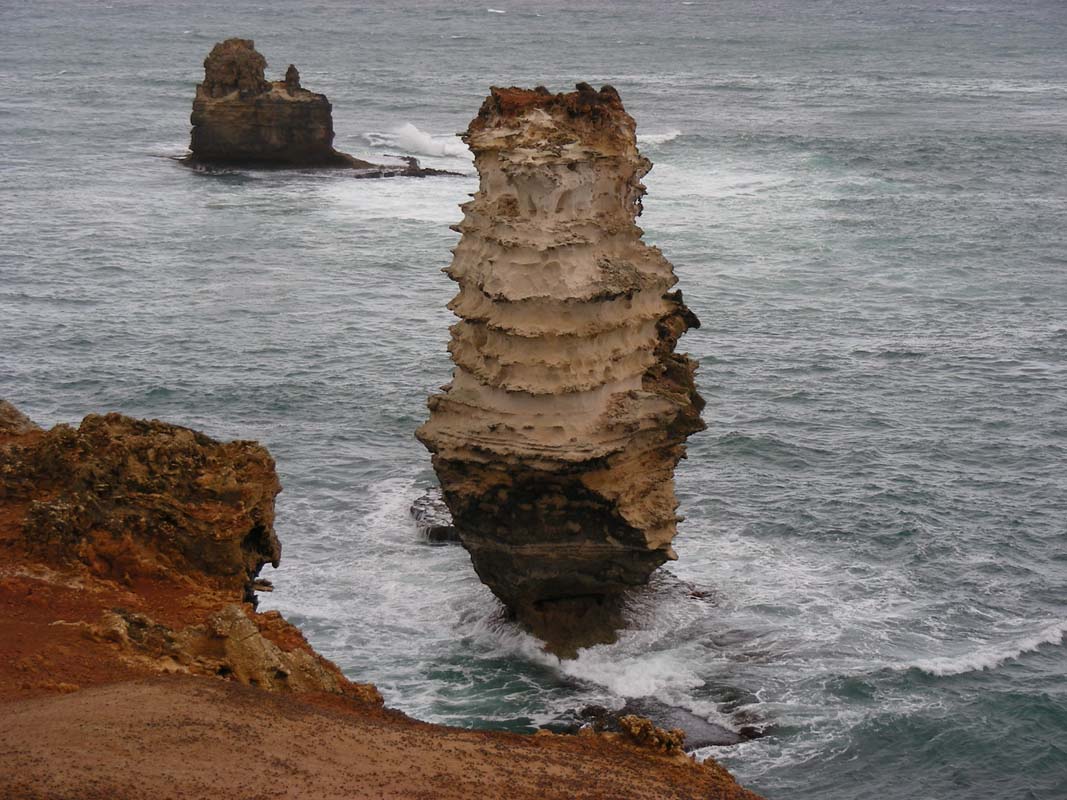
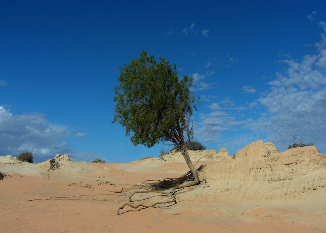
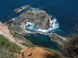
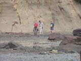
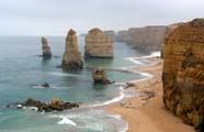
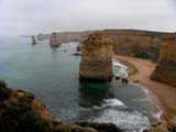
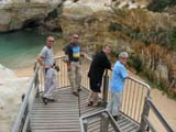
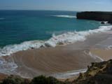
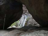
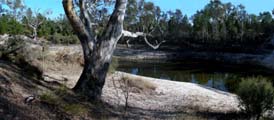
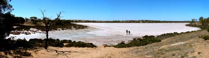
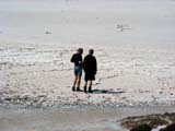
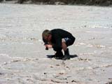
The first stop is at Gibson Steps, where
we get down to the beach to have a look at some of the "Apostles" from
sea level.

Due to the low tide the waves break beautifully along he
beach; the multicoloured rock looks very pretty with the
white of the waves.
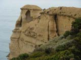
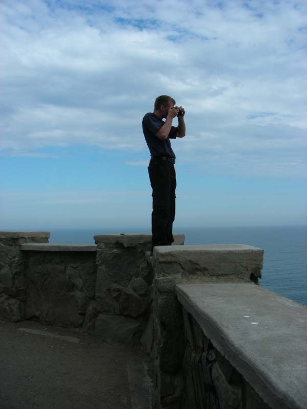
The weather improves slowly but surely and the photographers
have a chance to get some pictures.
There are still some wind gusts but the temperature climbs
to some comfortable levels.
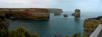
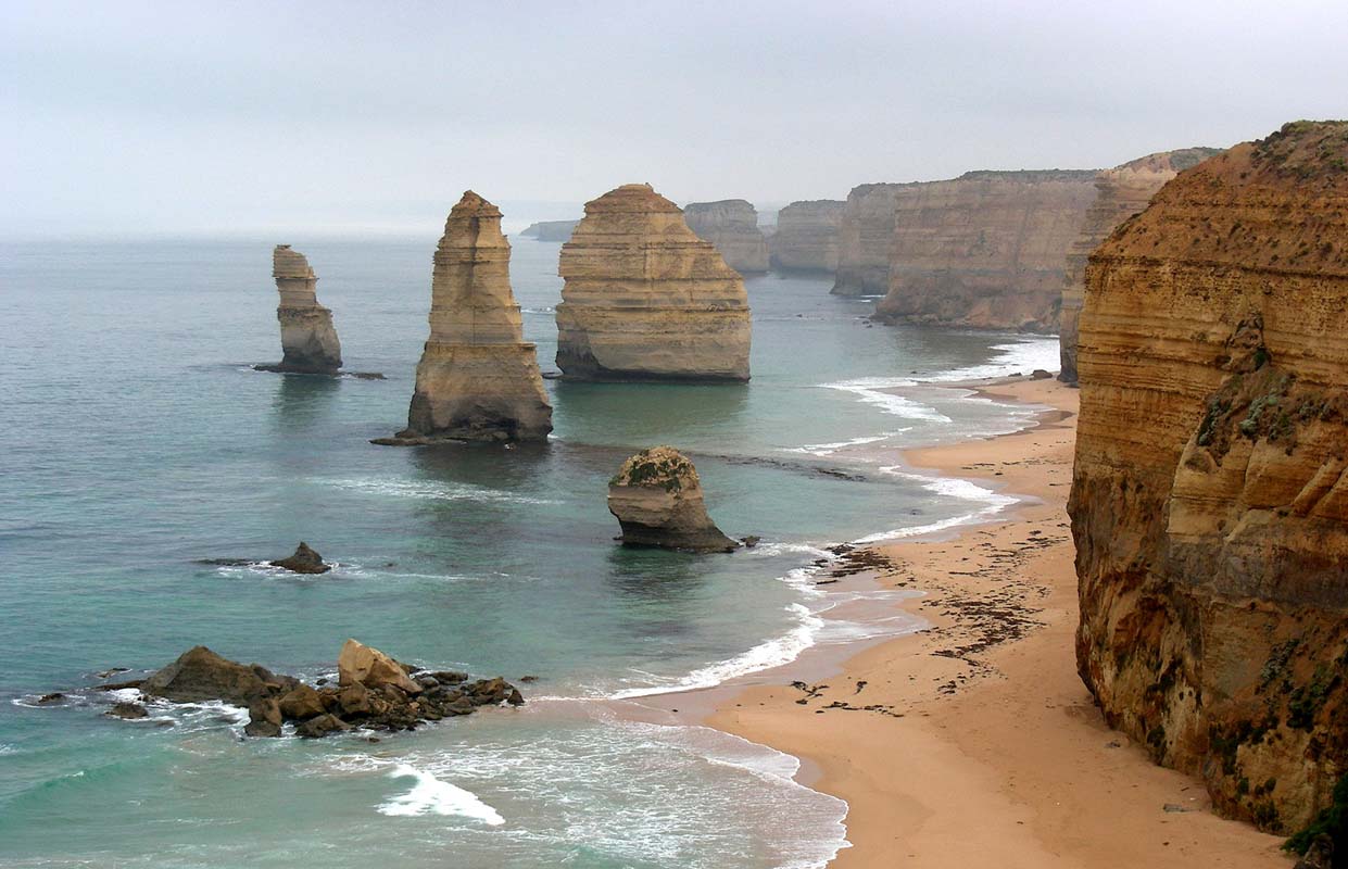
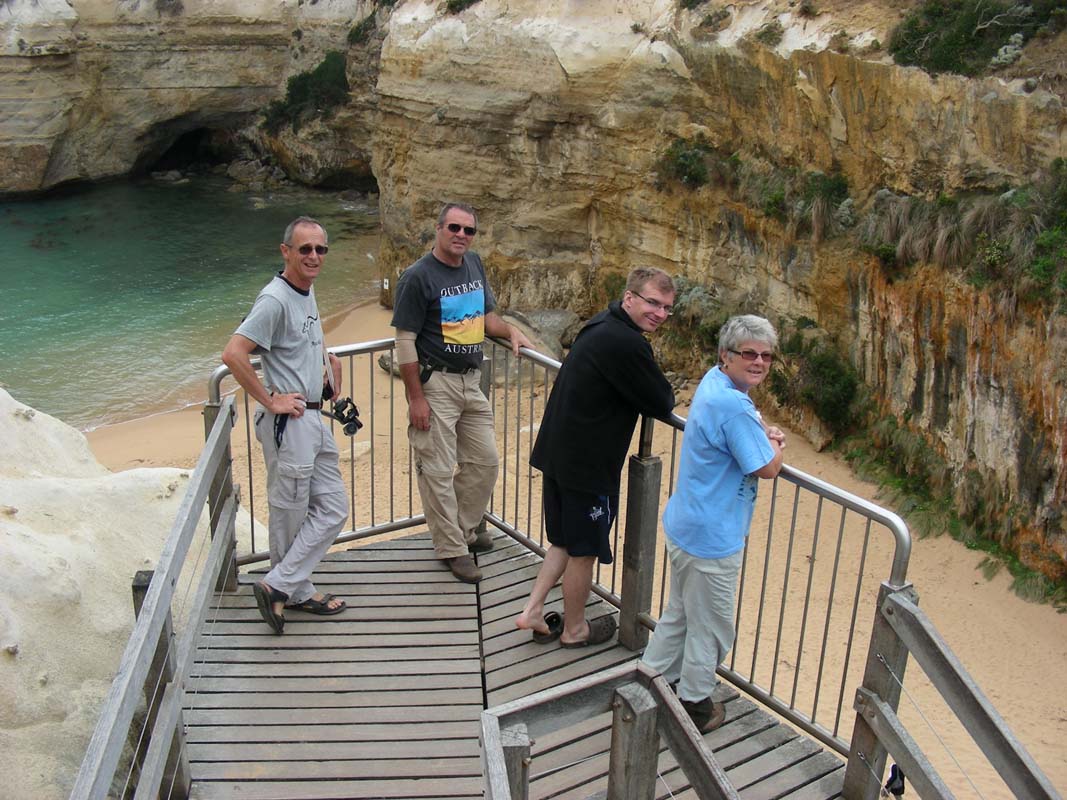
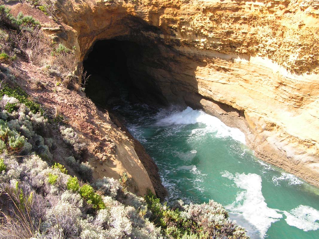
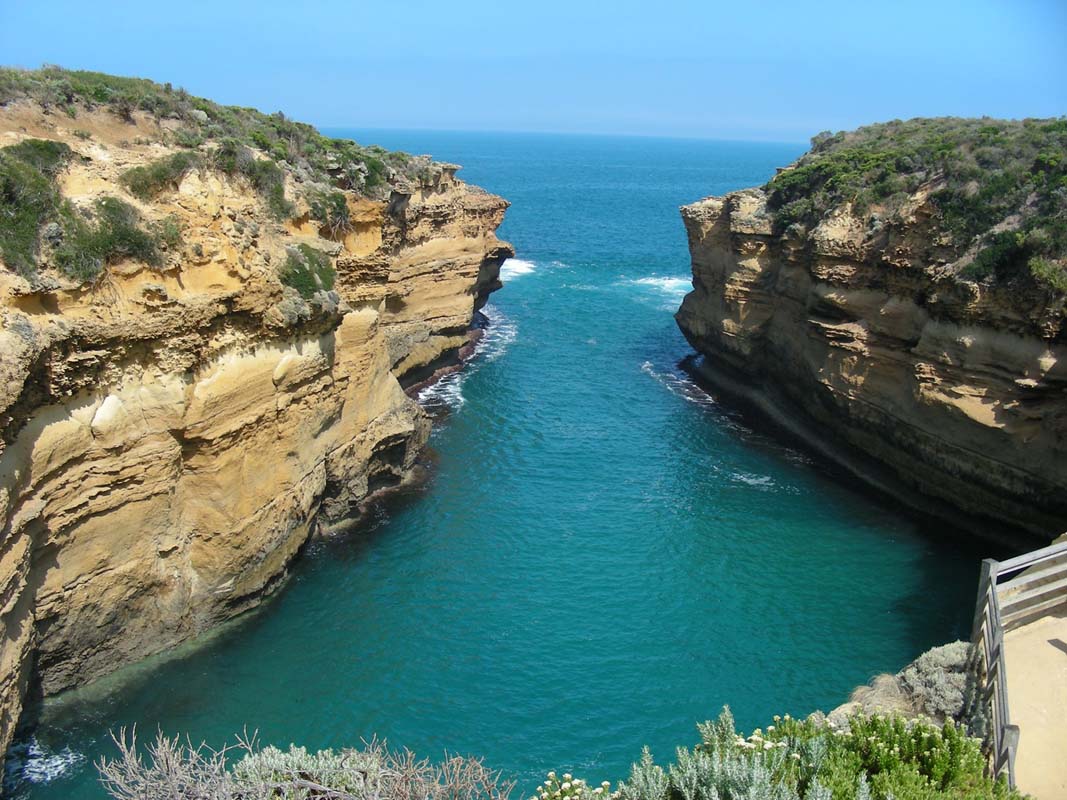
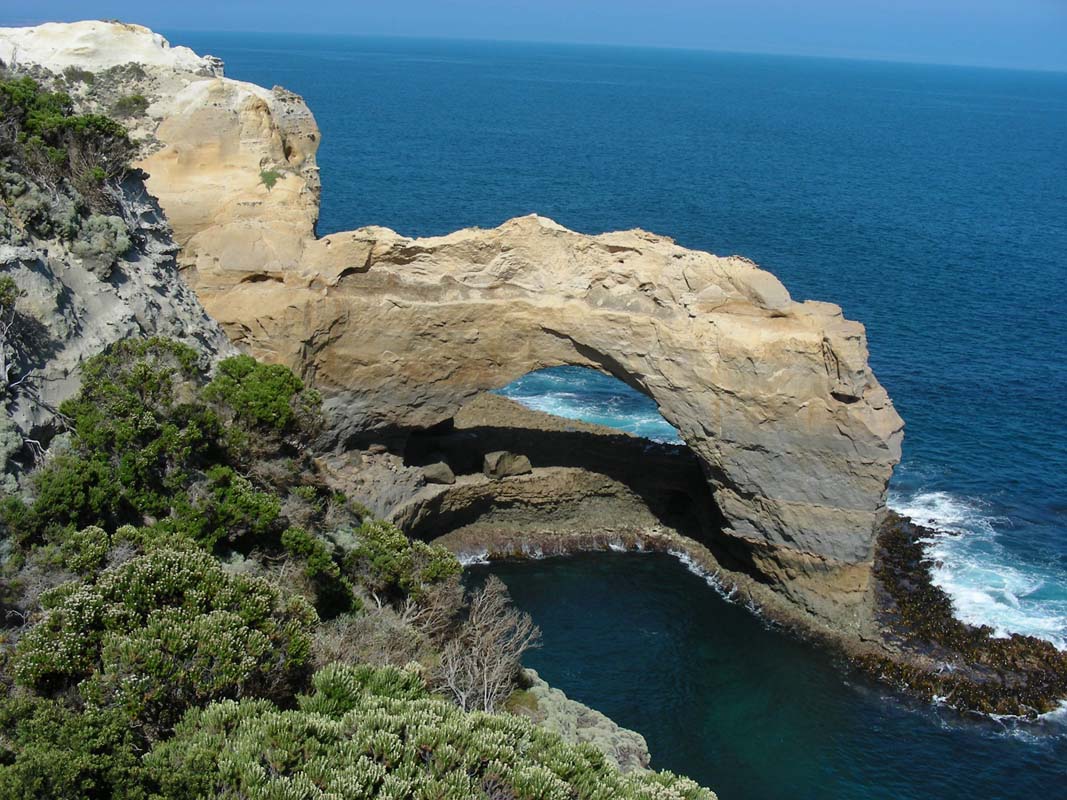
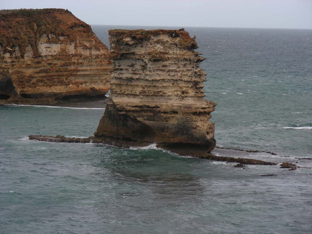
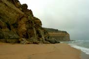
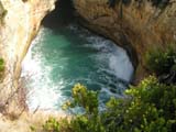
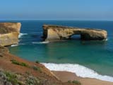
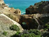
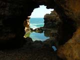
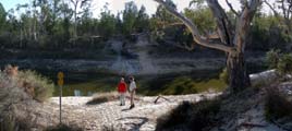
We spend a lot of time at The Arch, concentrate
on the areas that we did not visit when
we
were here with Peter and Margaret in 2007.
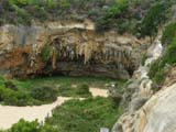

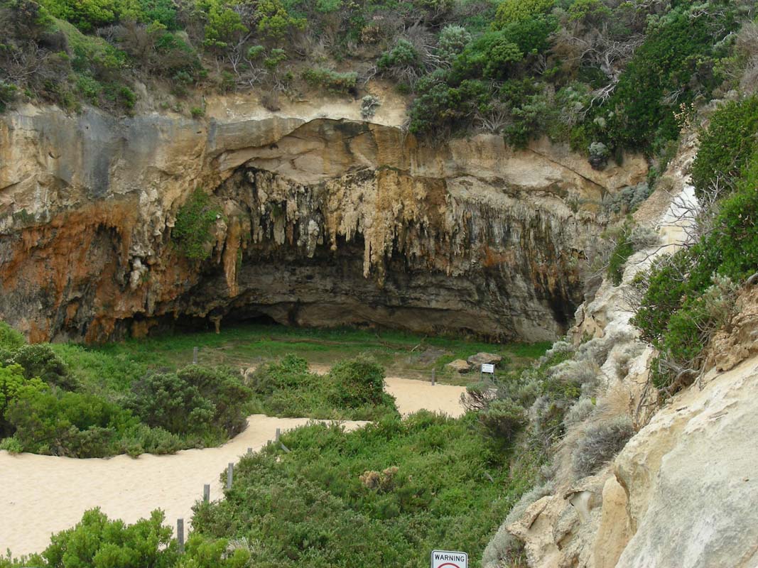
We get down to the cave ..... have a closer look at Mutton
Bird Island (if you wonder what a
Mutton
Bird is click here for some details
) ...
... find "faces" in the rock walls and wonder
if they are the ghosts of the seafarer of the ships that
smashed to pieces here ...
As we watch the waves slamming against the rock faces the
sun starts breaking through the clouds.
It makes the scenery even prettier.
 |
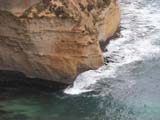
At The Blowhole we read some signs
with some gruesome stories ...
After the wreck of the Loch Ard, eleven bodies
of the fifty four on board floated in the waters
below.
At night following the wreck, the Blowhole glowed with
an eerie purple light from wax vestas (phosphorous
matches) washed in from the cargo. |
 |
The Blowhole is connected to the sea by a long narrow
tunnel.
When heavy seas are running, waves compress air trapped
in the tunnel and enter the cavern with a loud roar.
The tunnel extends 100 metres inland, and is gradually
being enlarged by the force of the sea and the attack
from seeping rainwater. |
At the entrance to Thunder Cave huge blocks
of limestone rest on the sea floor 15 metres below the surface.
Many years ago they formed an arch over the entrance.
The Thunder Cave of that time probably looked much like the
present day Blowhole.
The buffeting of sea and wind, and the dissolving effect
of rainwater on limestone, finally narrowed the arch until
it could no longer support its own weight and collapsed.
Just as London Bridge did in 1990 .....

We travel from one attraction to the other one and still
find formations that deserve being placed in our diary.
As it is already late in the afternoon we decide to stop
at Peterborough and enjoy he luxury of a
long hot shower at the campground.
In the evening fog crawls in from the sea ...... let's hope
that tomorrow we will have the same weather as yesterday,
fog in the morning and later on beautiful sunshine.
On Saturday morning after a not too cool night with 15°C
and shortly before we want to get up rain sets in.
First it rains just a few drops and but then a real storm
breaks loose.
When watching the other campers run to the amenities block
and get soaked, once again we are very happy to have a toilet
in the OKA ....
But luckily after breakfast the rain starts easing, just
in time for the packing up of Simon's tent.
As all is wet we install the clothes line in the OKA and
hang up the tent to dry it as we drive.
The weather is stormy and some clouds hang around but it
is still nice to visit the Bay of Islands Lookout.
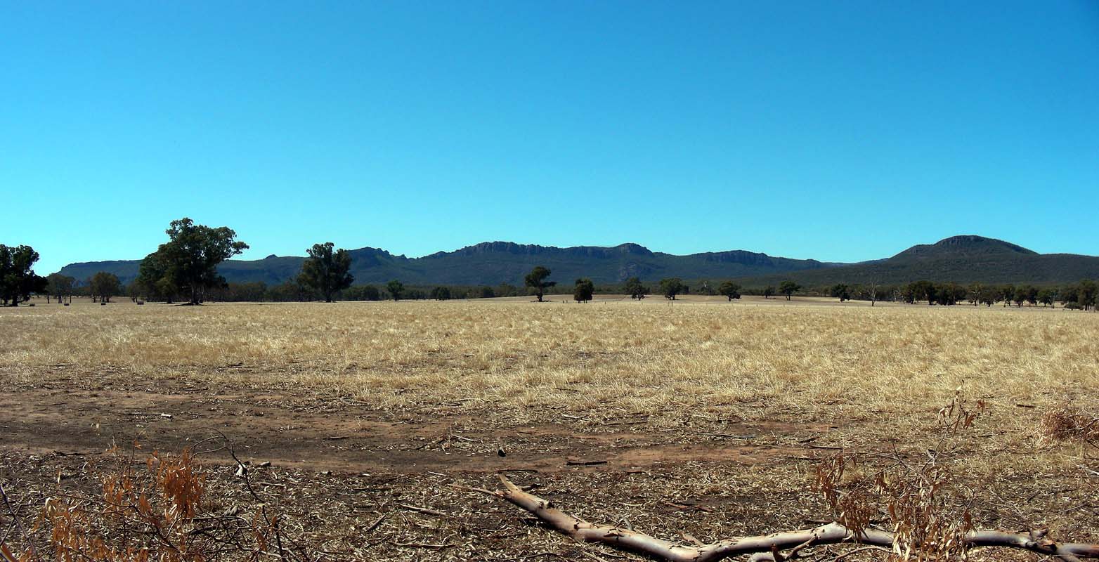
Via Warrnambool we drive to Dunkeld.
On the way rain gusts alternate with sunshine.
Some big and very pretty clouds hang around.
The country is very dry and the sheep have eaten the little
grass that was left.
They desperately need the water ....
In Dunkeld were we visit the excellent visitor's centre.
Well equipped with maps and information booklets we head
out into the Grampians National Park.
Soon after leaving the main road stormy rain sets in again.
We are a bit worried about falling branches; there are already
a few on the ground ... we don't know if it is because
of the storm or because the Eucalyptus trees have dropped
them because of lack of water ......
Then we pick the Jensens Road off Victoria
Valley Road and drive to the Strachans
Campground where we stay for the night.
During the night the temperature drops to 8.5°C and even
a bit of rain falls.
On Sunday morning the sun shines onto the tent and the campers
but soon the fog closes in.
There is a temperature difference of 10 degrees from inside
the OKA and the outside.
Simon does not mind coming into the warmth for breakfast;
Heidi and Peter also start the heater in their camper.
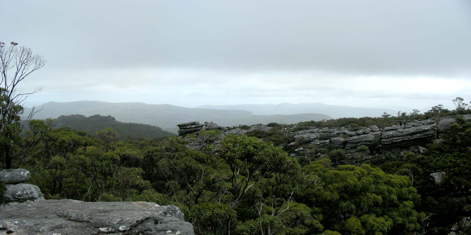
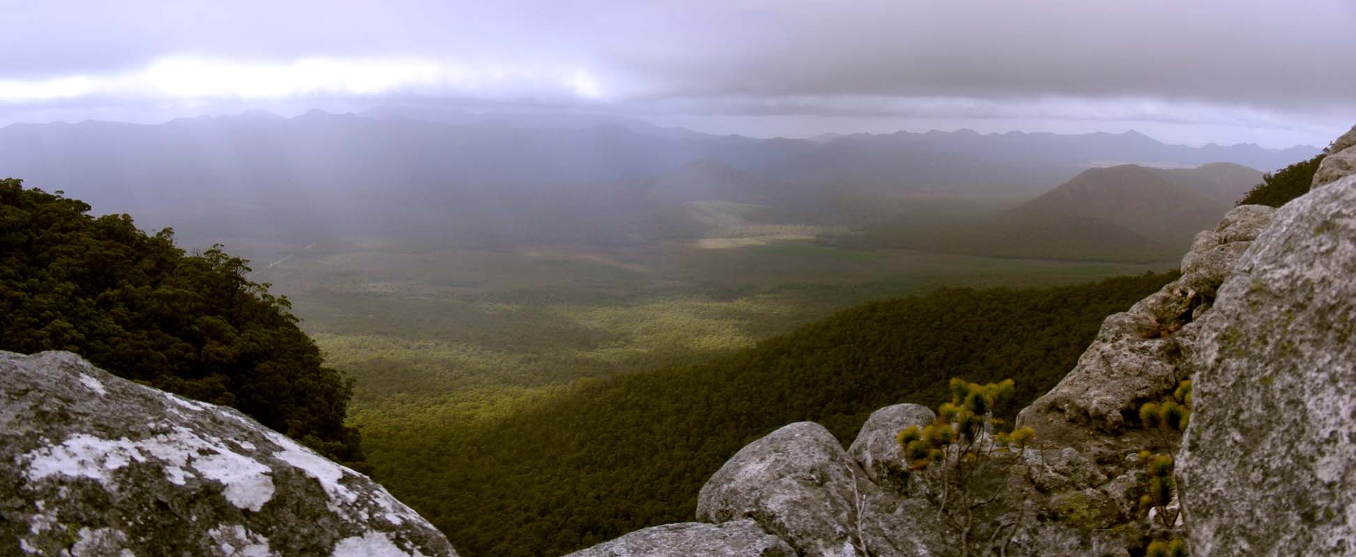
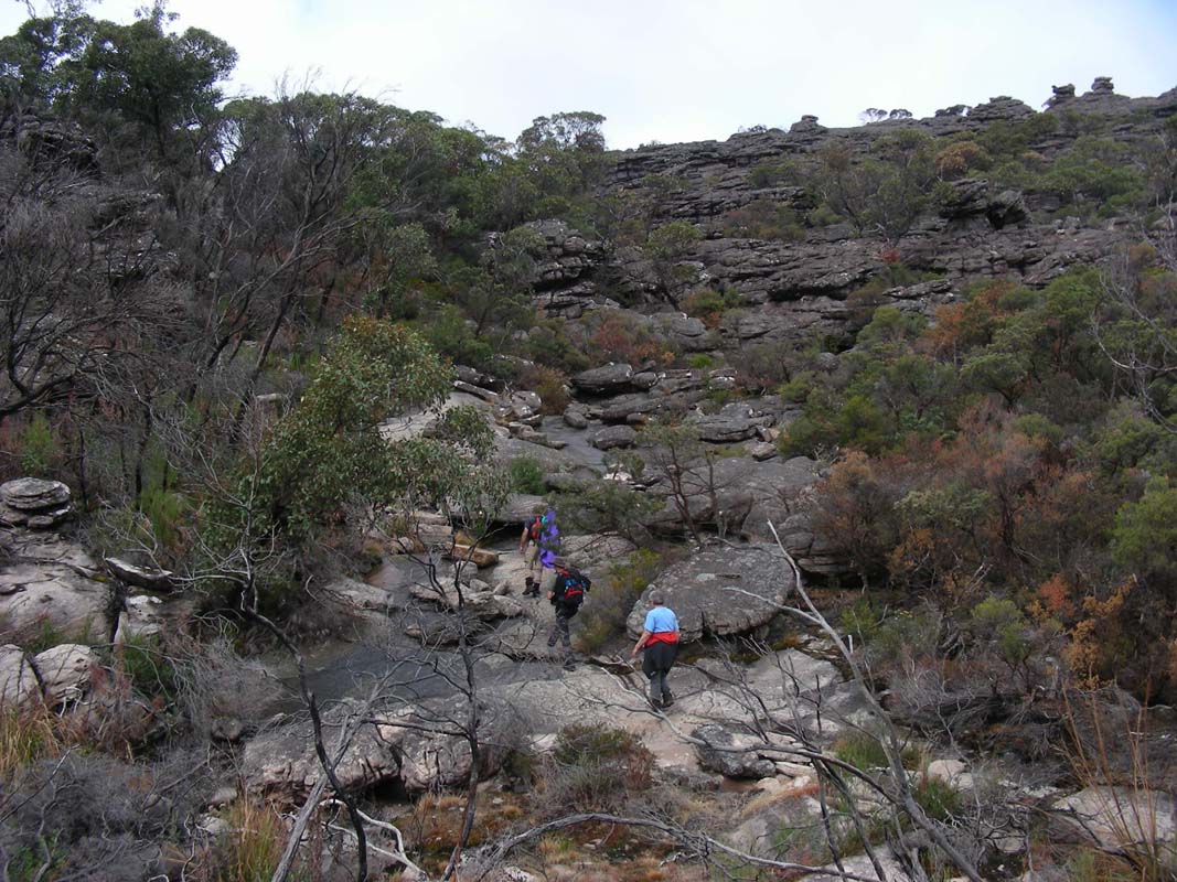
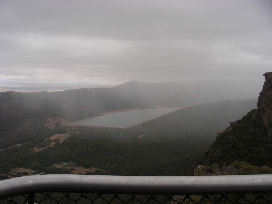
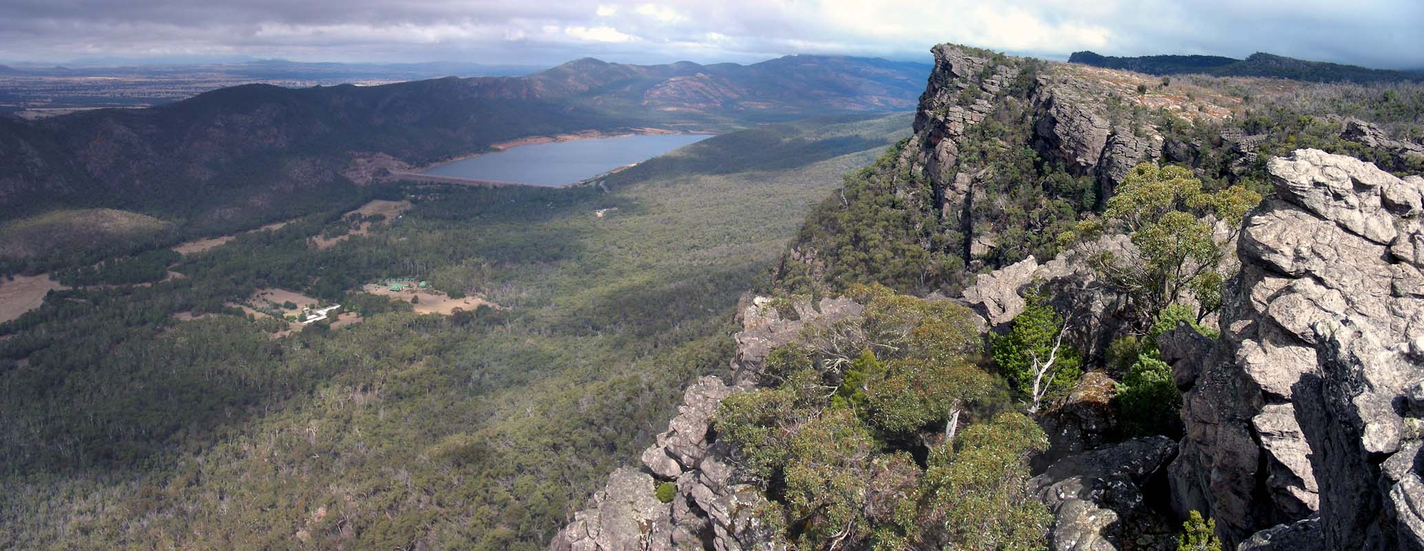
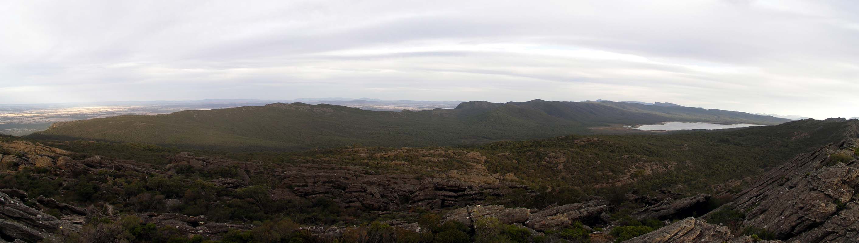
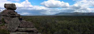
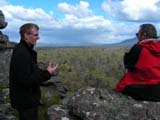
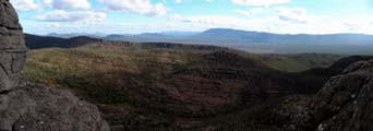
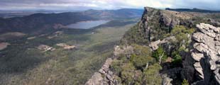
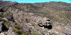
We continue north on the Victoria Range Road and
climb on steep tracks.
We reach 959 m over sea level and the temperature drops to
6°C.
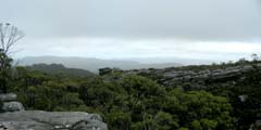
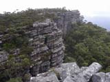
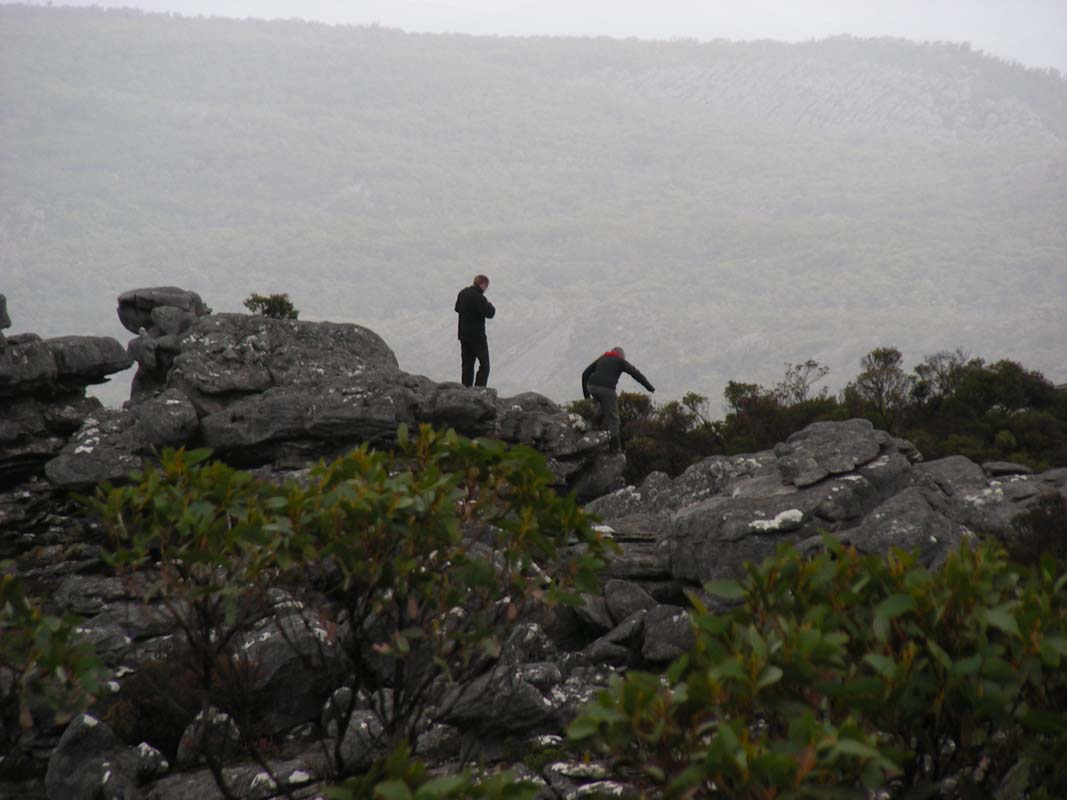
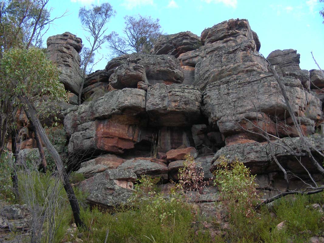
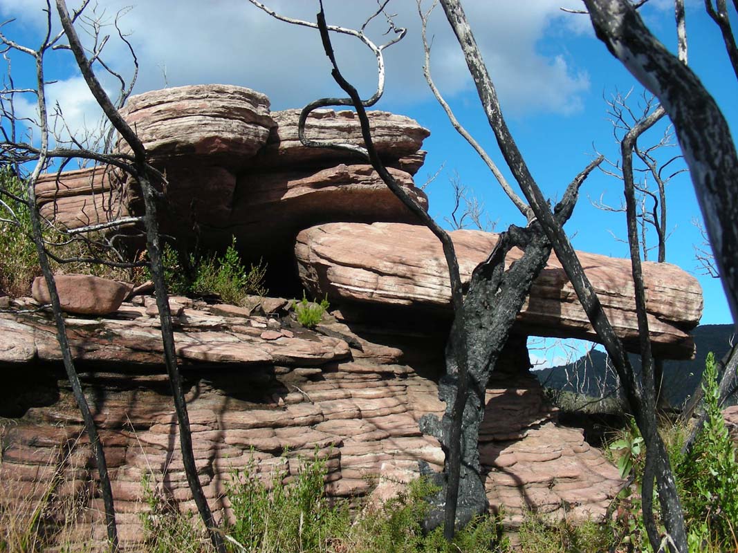
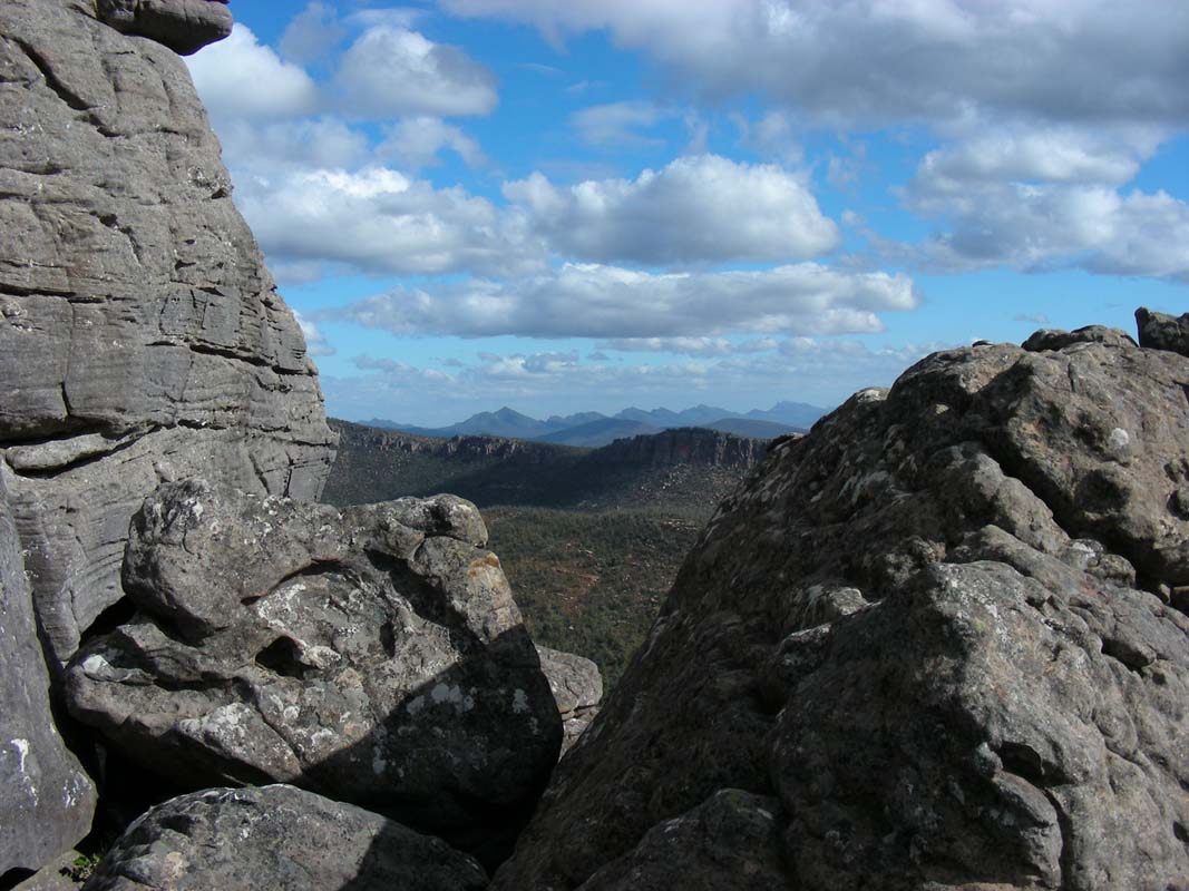
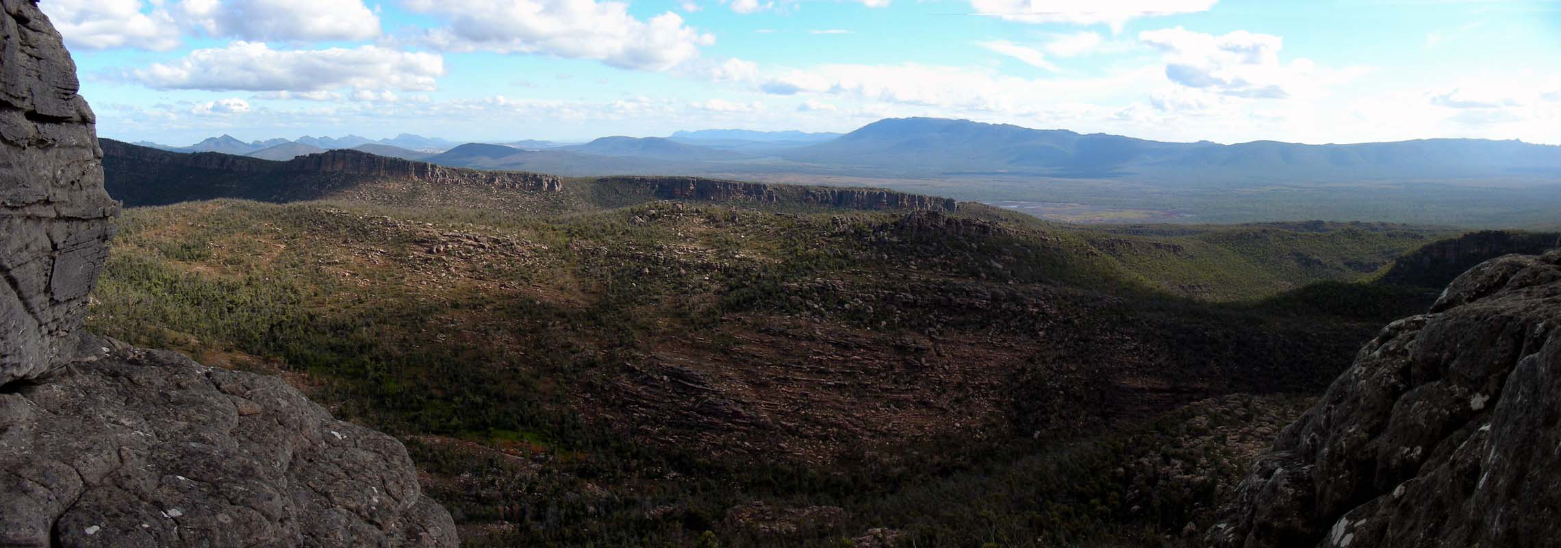
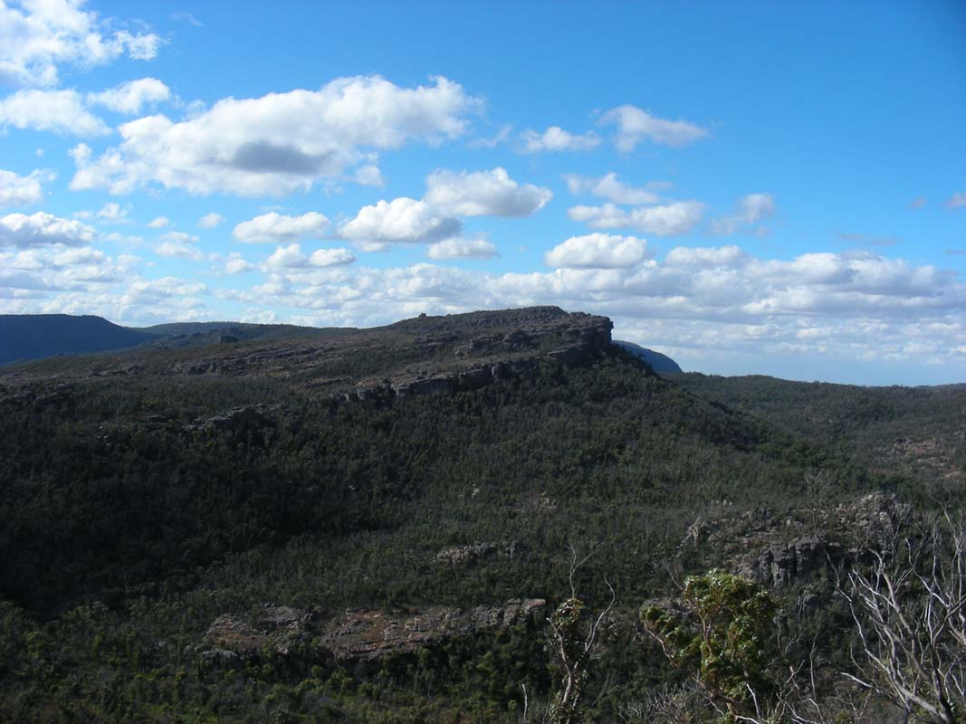
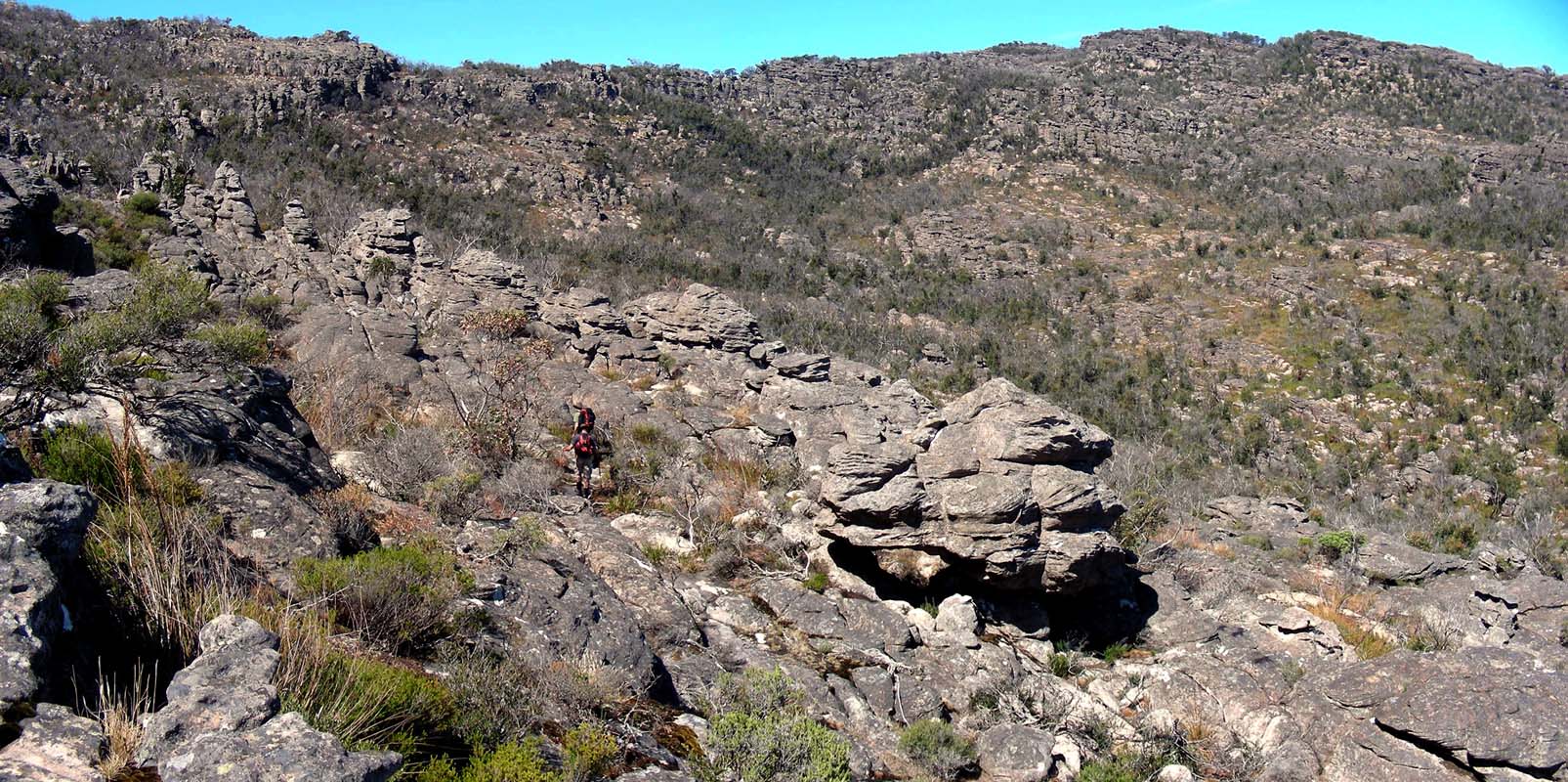
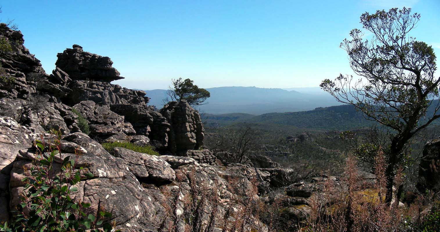
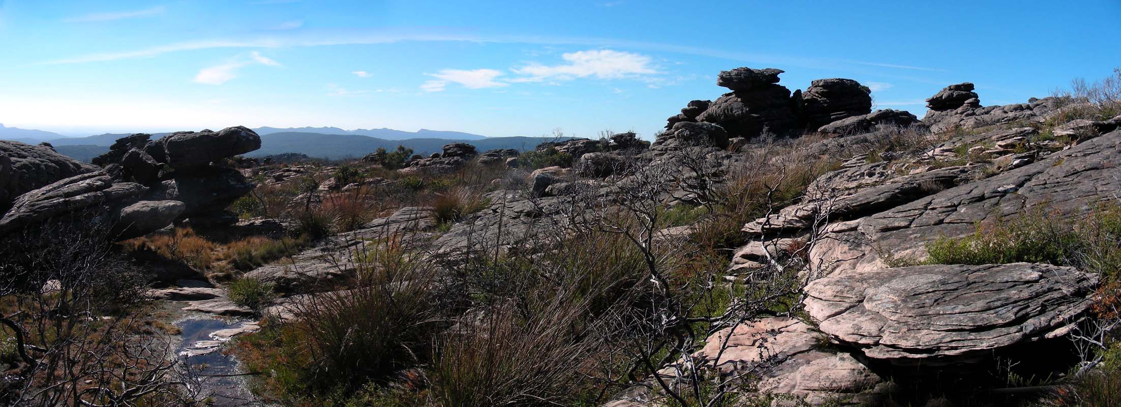
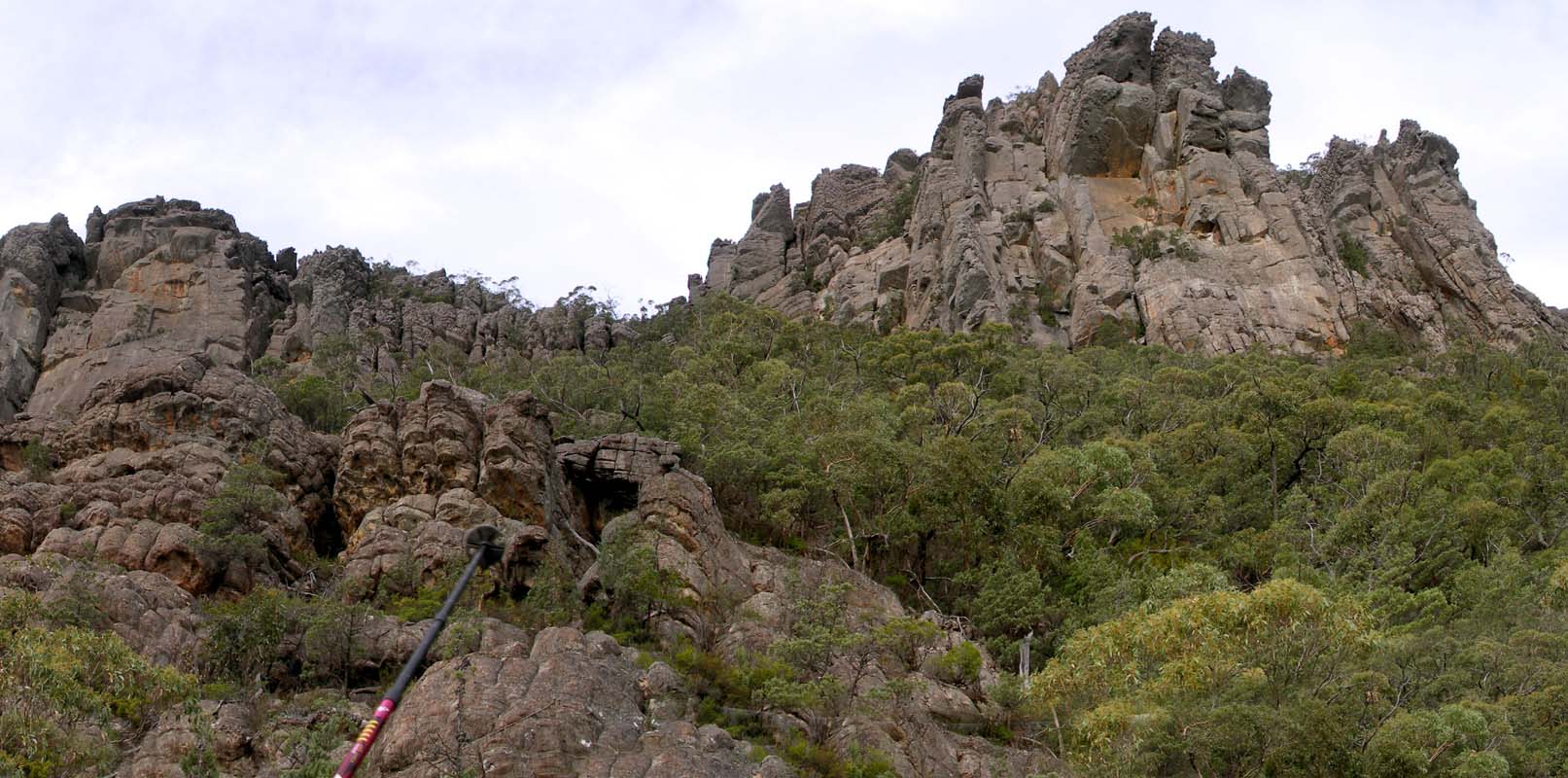
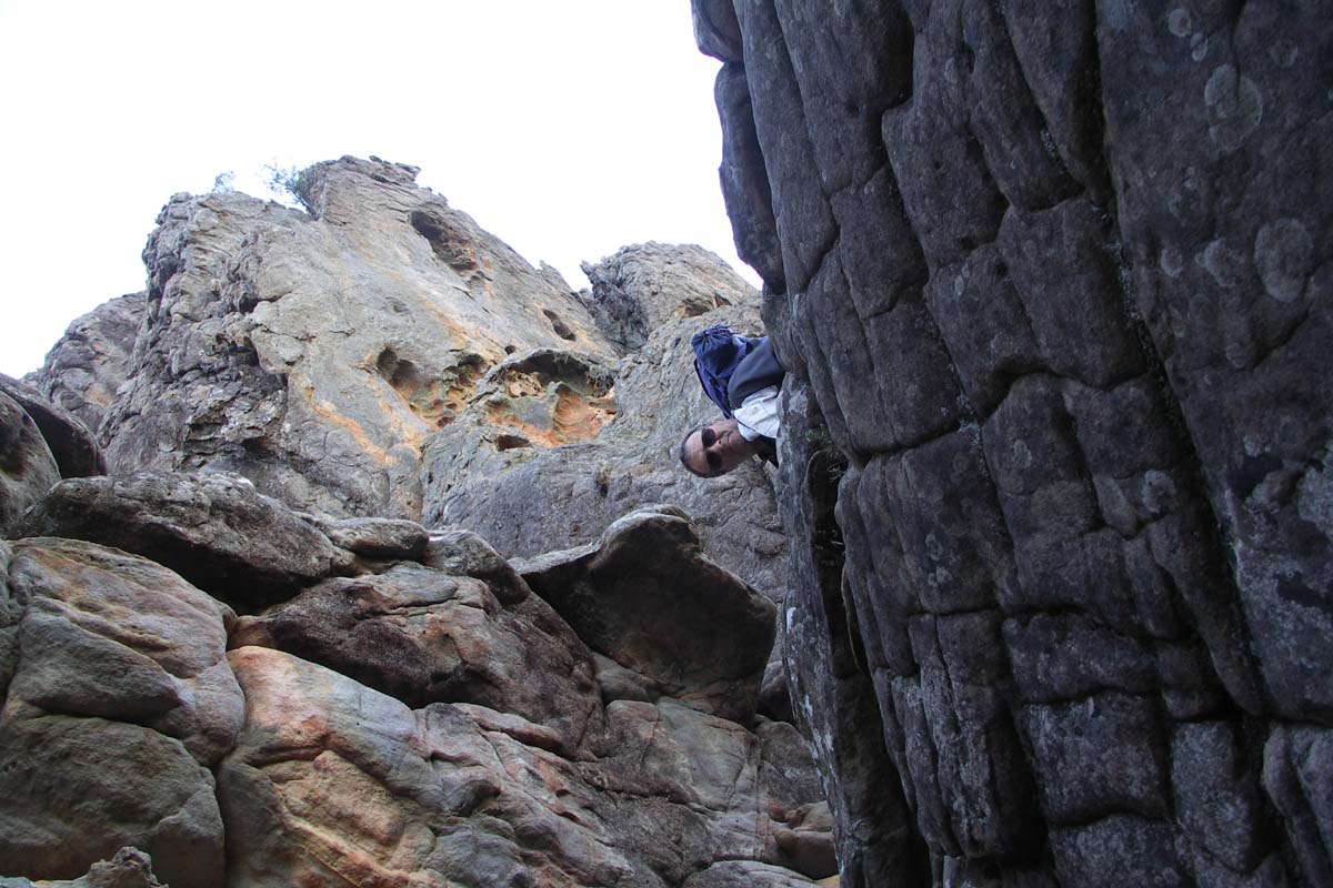
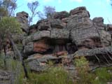
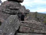
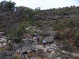
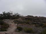
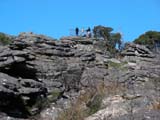
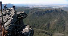
Then we find a section with rocks that can be climbed.
It is a shame the fog is still there.
But every so often the sun breaks through generating a
magnificent view.
We reach the Goat Track and head down hill
to the Buandik Picnic Area.
As the weather deteriorates and it is rather cold we all
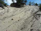
get into the OKA and enjoy the comfort of floor heating while
having lunch.
It feels good to watch the rain coming down while one has
the feet on a warm floor .....
After lunch we grab the opportunity of a small window in
the rain and walk over to the waterfalls but there is almost
no water flowing down.
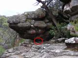
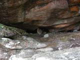
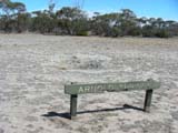
So we head over to the Billimina Shelter ....
Hmmmm .... not much to be seen here either except a few stencils
...
It is supposed to be one of the important rock-art sites
in Victoria.
We had hoped to be able to show some rock-art
to Simon like we had seen at
Ubirr
Rock in the Kakadu National Park in 1995
... we are a bit disappointed.
Just as we want to head back to the picnic area rain sets
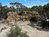
in.
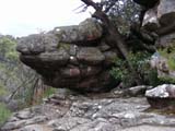
Luckily we can seek shelter at the large overhanging rock
of the Billimina Shelter.
We head back to the Goat Track and drive via the Syphon
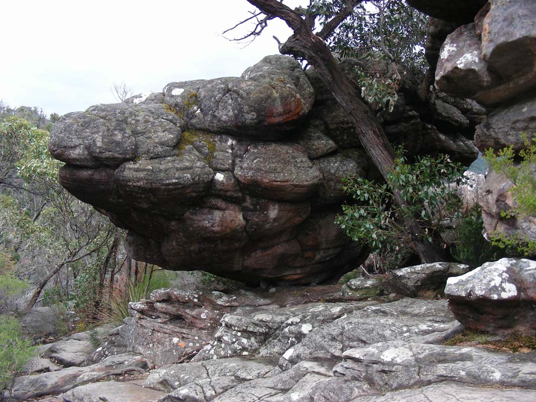
Road over to Paddy's
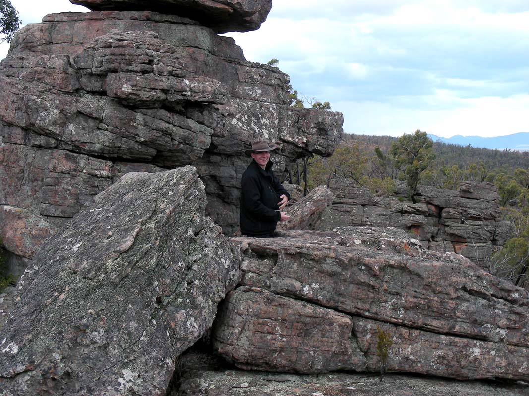
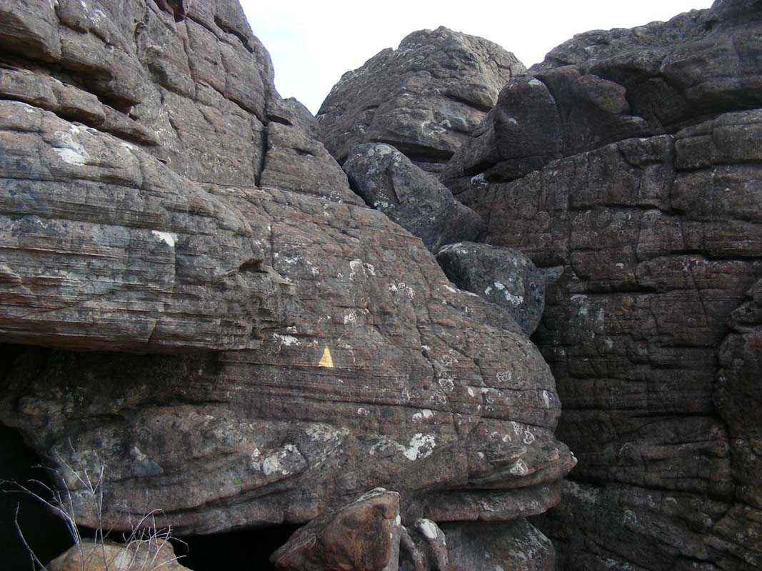
Castle.
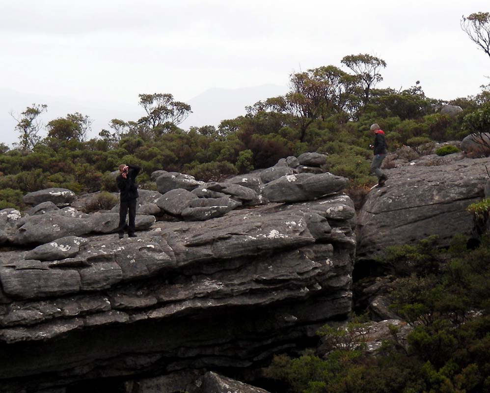
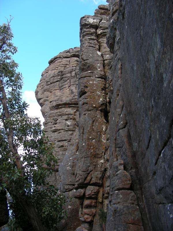
After a short walk we reach the "castle" with its "balconies" and
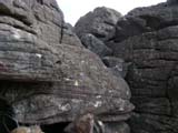
enjoy the views.
Here too we can have a closer look at some interesting rock
formations.
Sometimes one should have a better knowledge in petrography
...
We continue on and turn into Rosea Track but
after a short while we reach a closed gate.
The track is temporarily closed due to the reintroduction
of the critically endangered Brush-Tailed Rock-Wallaby.
So far Park and Wildlife Services have had quite some success
in reintroducing endangered species.
Let's hope it works here too!
We deviate and reach the Stony Creek Road from
the other side.
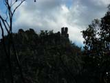

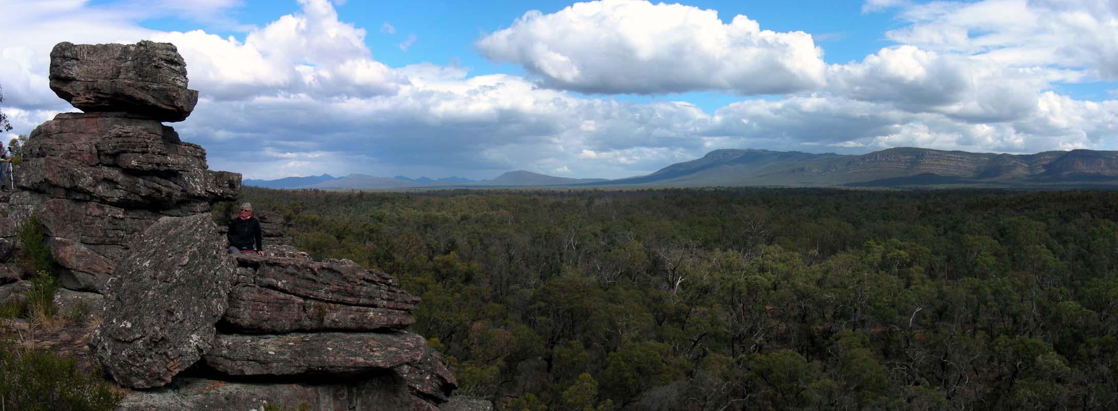
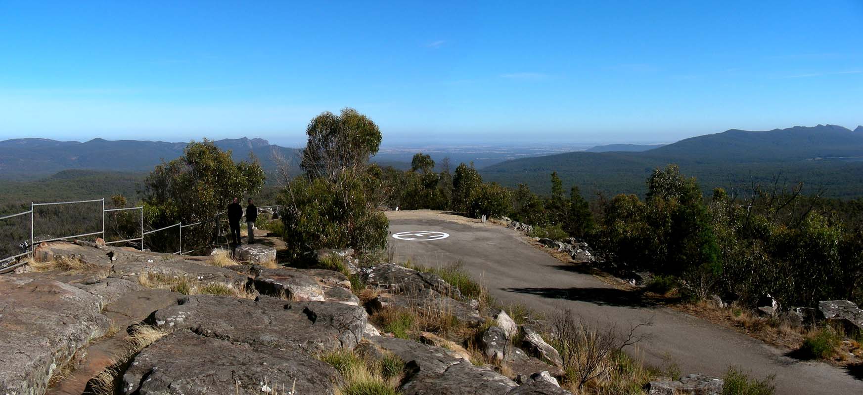
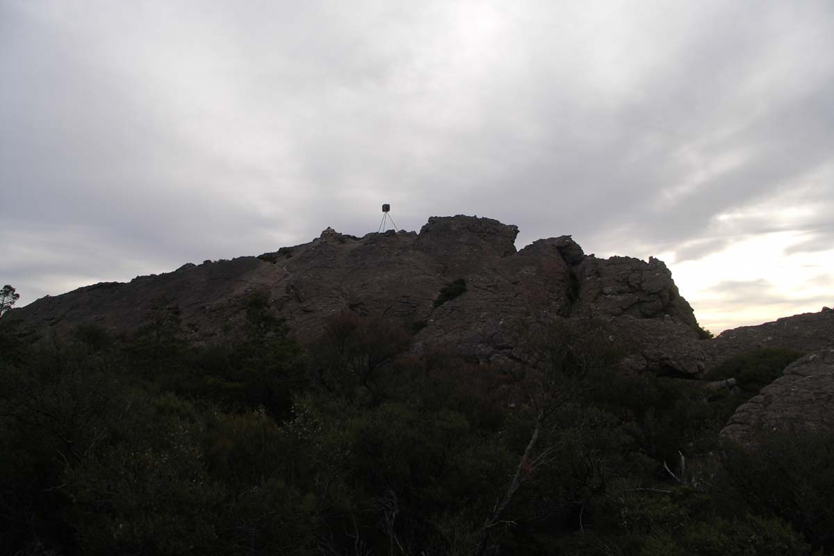
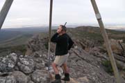
We head up to the Tower Hill Lookout.
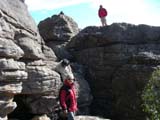


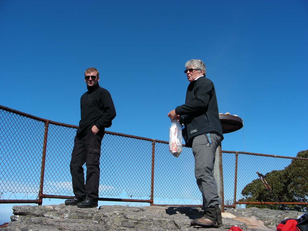
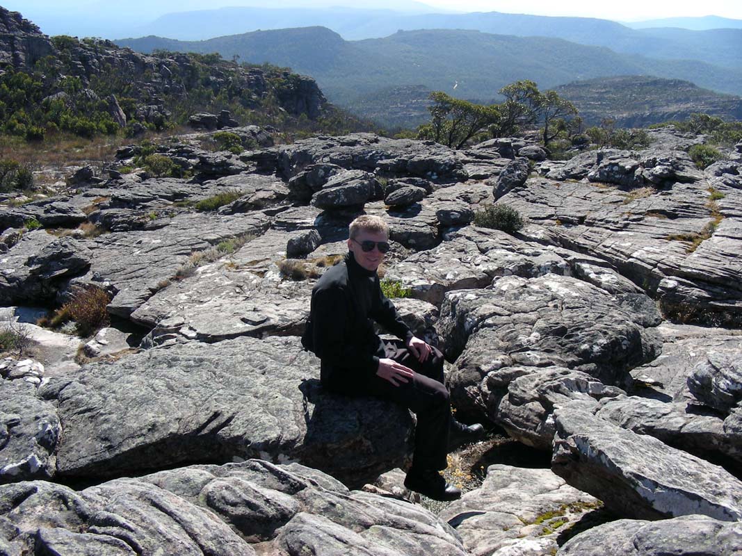
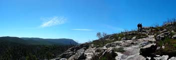
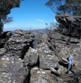
We climb and "rock-hop" up to the rock towers.
A strong wind blows and one has to be careful on the large
boulders.
Then the sun breaks through and the views are great.
On a really sunny day the views must be absolutely stunning.


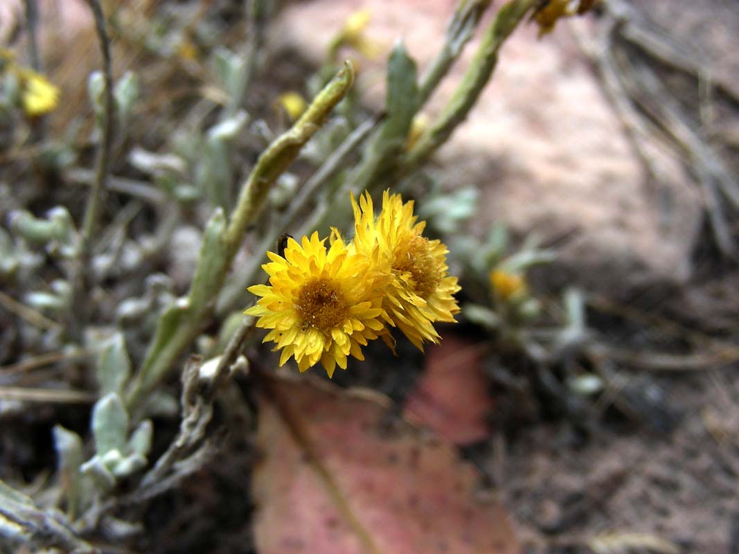
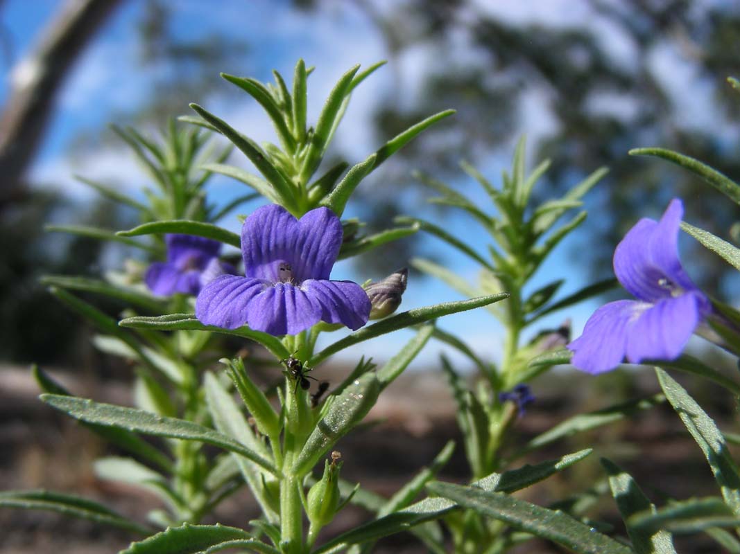
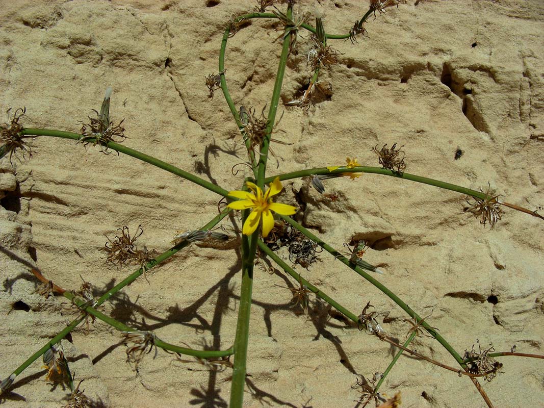
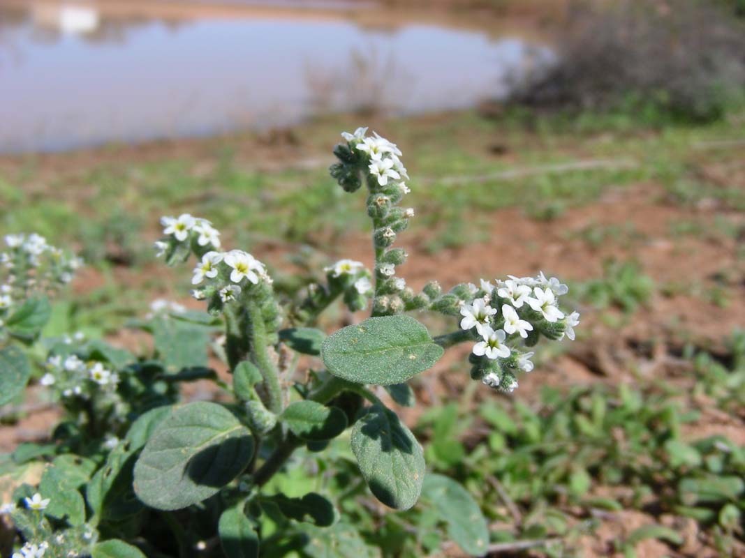
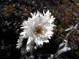
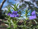
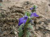
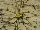
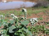
On the way back and at the car park some flowers are blooming
....
... and the photographers get busy again ....
Time flies but the cold wind and the dropping temperatures
remind us that it is time to find a place for the night.
As we continue on we find a small bush camp along Stony Creek
Road and settle for the night.
We all squash into the OKA and enjoy the pleasures of a warm "home".
During the night the temperature drops to 6°C and drizzle
sets in ....
On Monday morning Simon's wet tent needs drying which is
done on the clothes line inside the OKA again. Getting a
routine task now.
The ventilator and the floor heating combined act like a
dryer.
Again one of the OKA's bad weather features proves to be
very valuable.
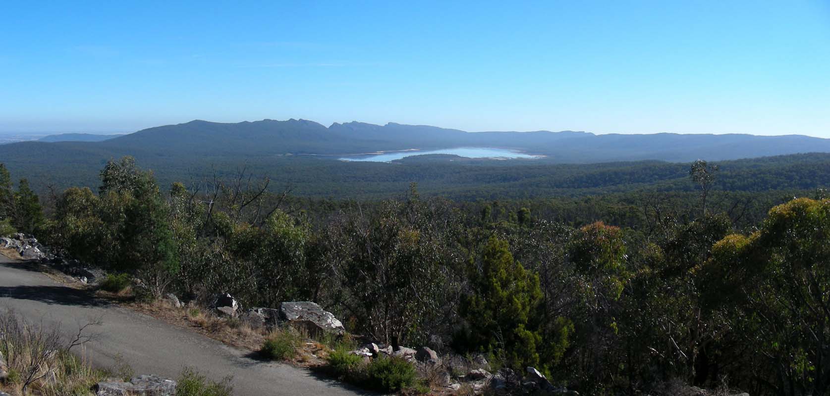
We drive down to Halls Gap via Lake
Bellfield.
The artificial lake looks very empty; the boat ramp had to
be extended down to the current water's edge .....
Next stop is the Brambuk Cultural Centre.
It is a very interesting centre telling the stories of the
local Aboriginal people.
Once again we are shocked about the way Aboriginal people
were treated and wonder why we did not know about this in
Europe?
Europe ... who is talking about Europe?
When Susi migrated to Australia in 1988 nobody spoke about
this in Queensland!
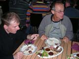
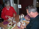
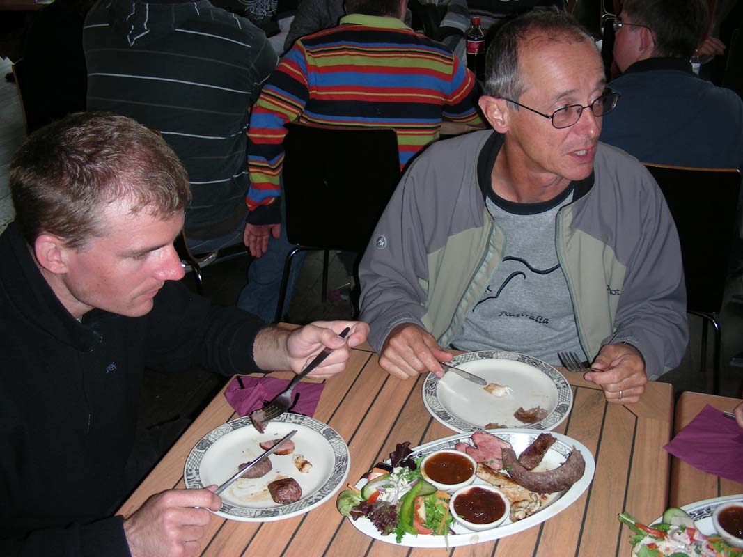
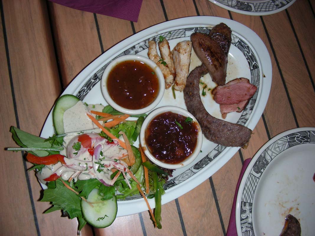
For lunch we visit the cafeteria in the Cultural Centre
and treat ourselves to some bush food:
crocodile, emu, kangaroo and wild duck.
The crocodile is a bit tough (too well done) but the emu
sausage is very much to our liking.
And the chutneys .... yummy!!!!!
As we head out to the vehicles a gentleman comes running
after us and asks if we have forgotten a camera in the restaurant
....
It is Simon's camera and we are very happy about this honest
tourist from Germany.
Thanks a lot again!
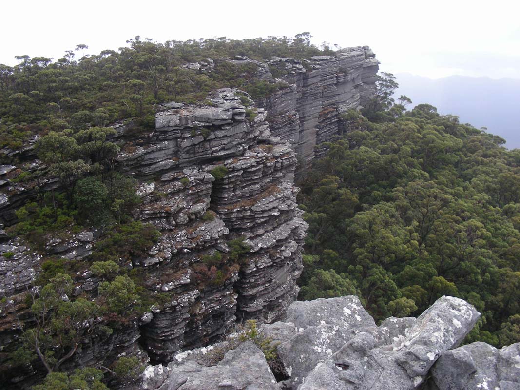
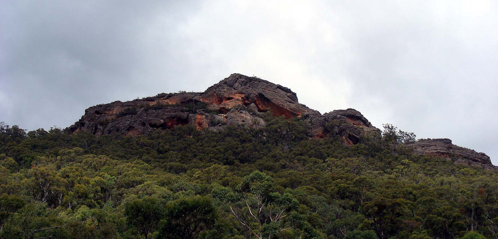
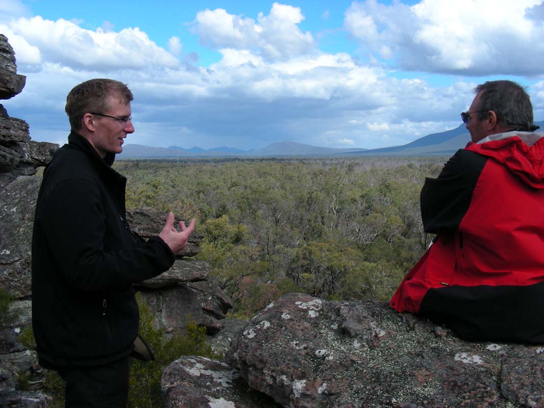
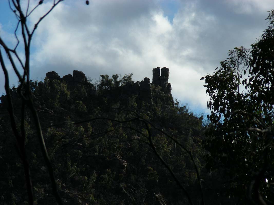
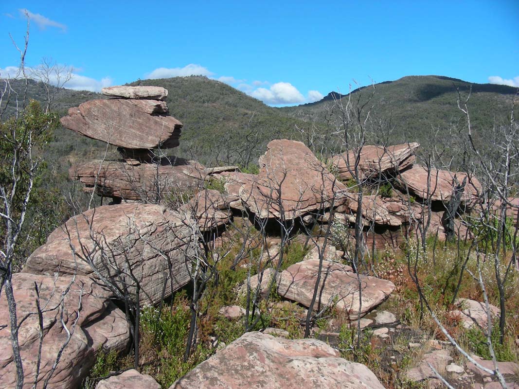
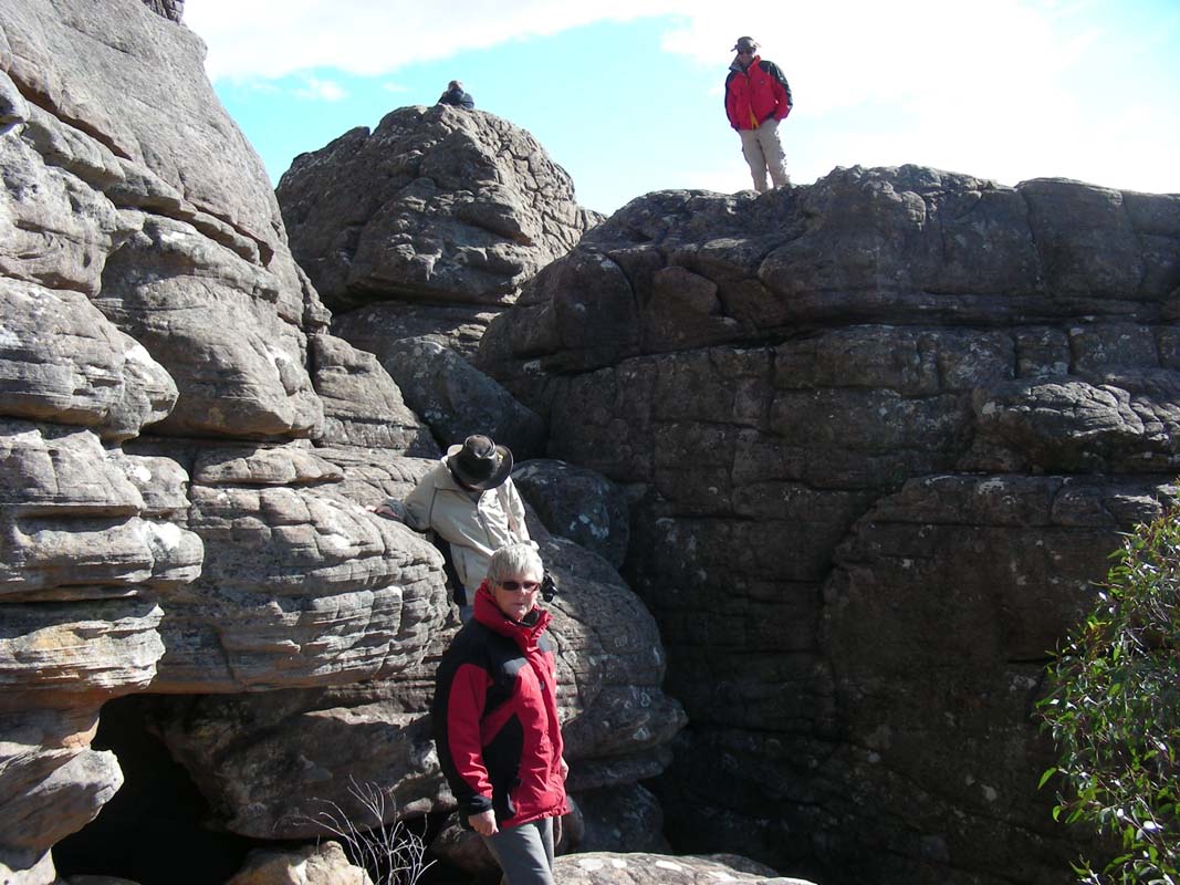
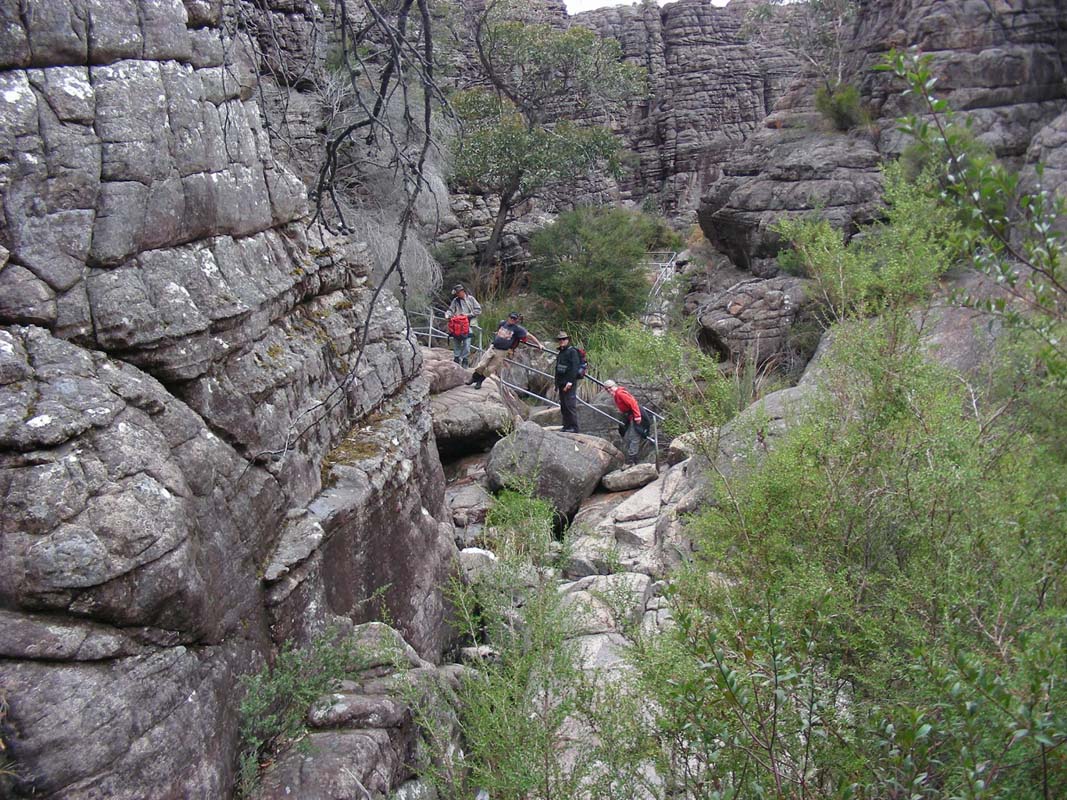
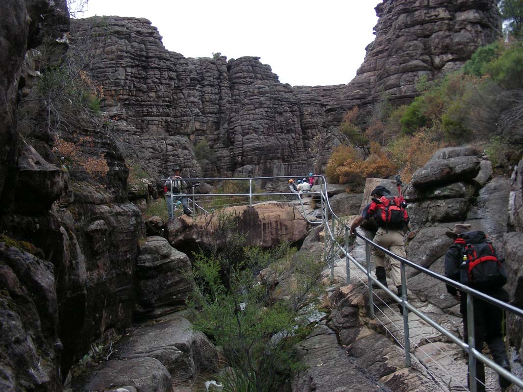
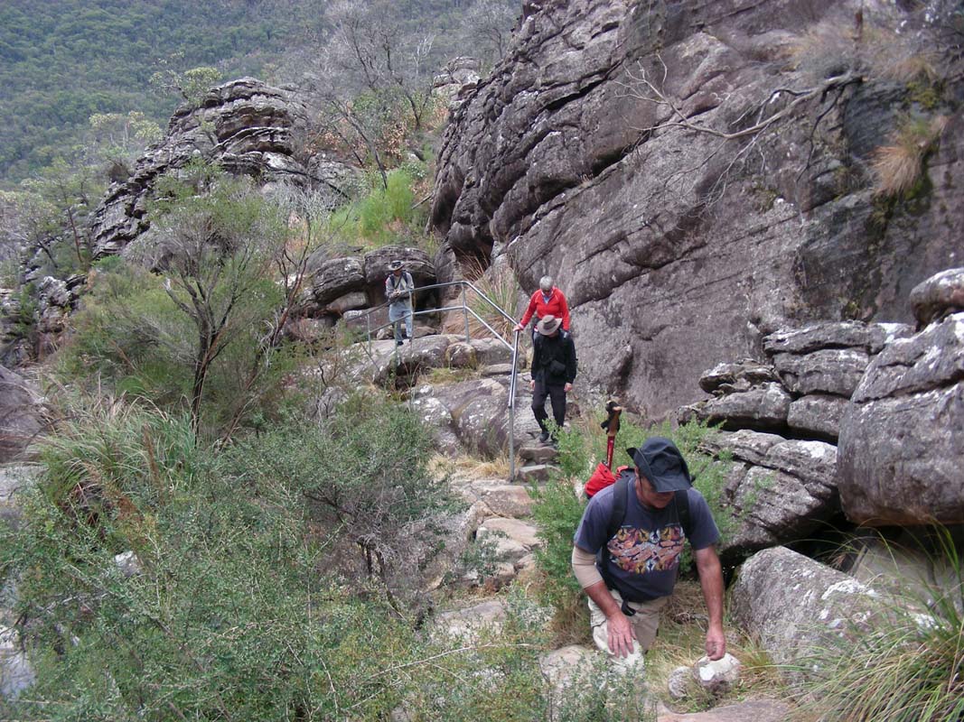
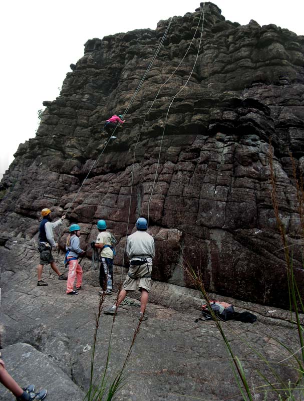
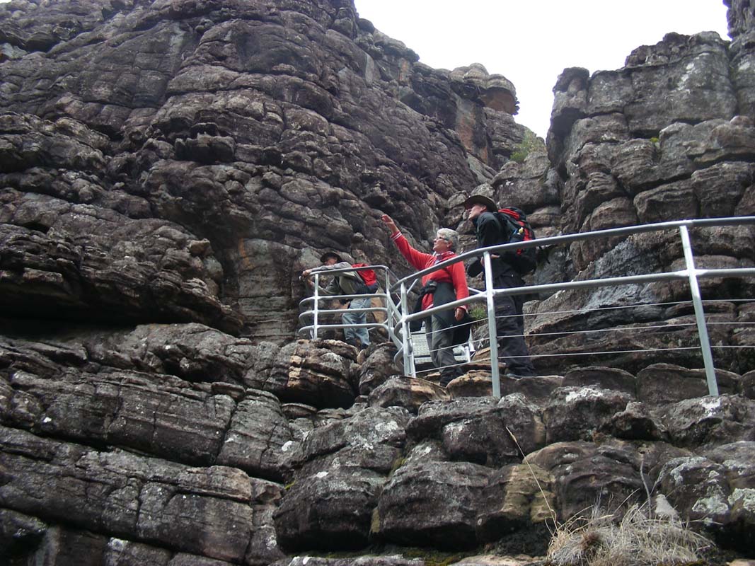
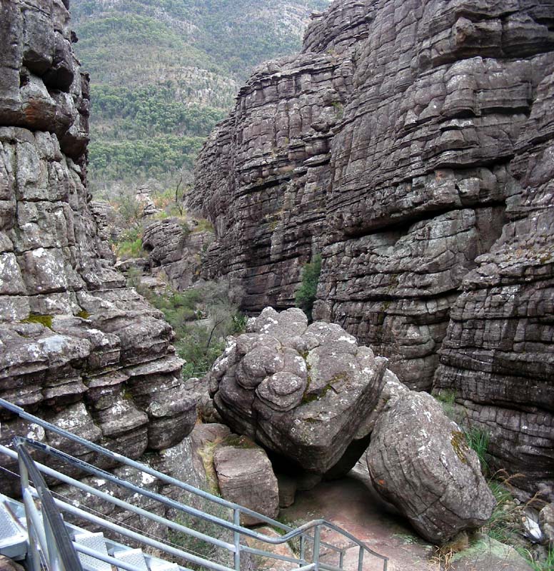
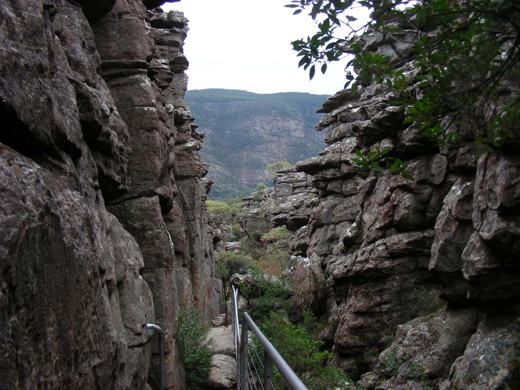
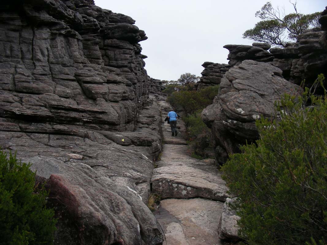
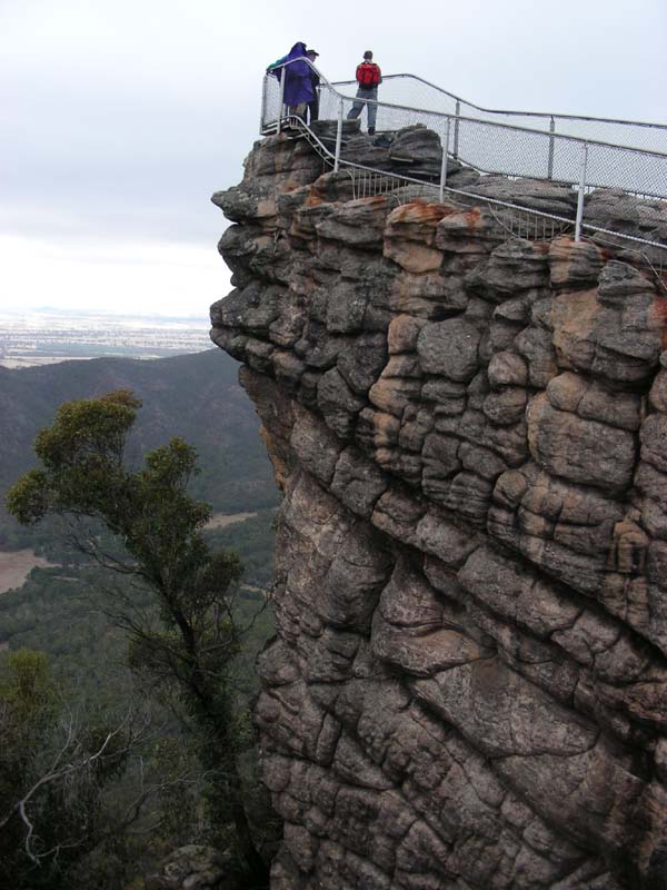
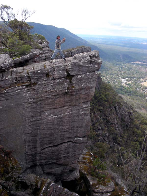
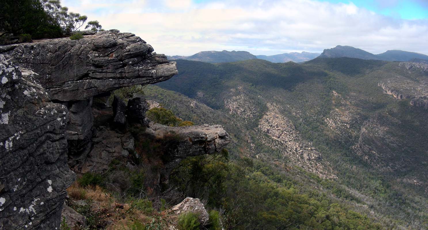
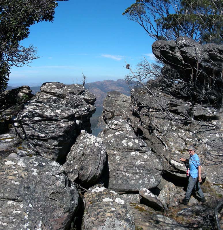
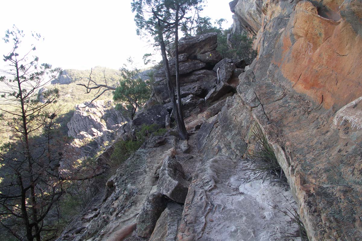
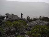
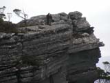
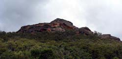
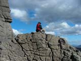
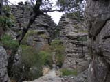
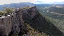
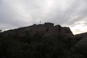
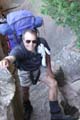
Then we head to the Wonderland Carpark and
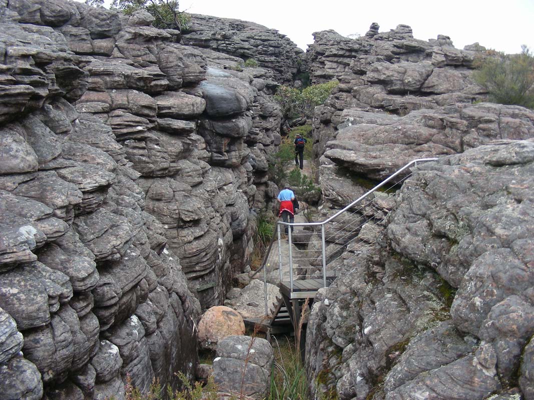
start the walk up to the Pinnacles.
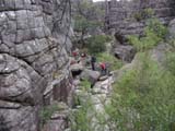
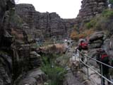

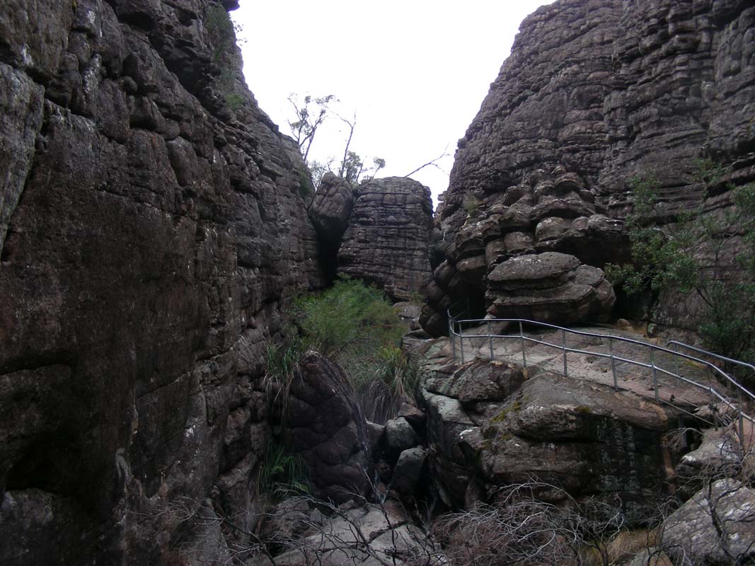
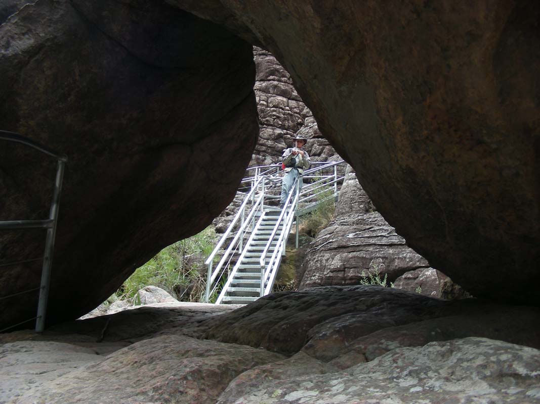
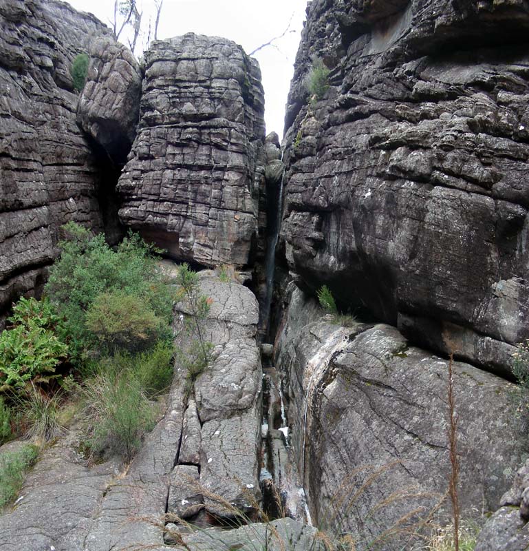
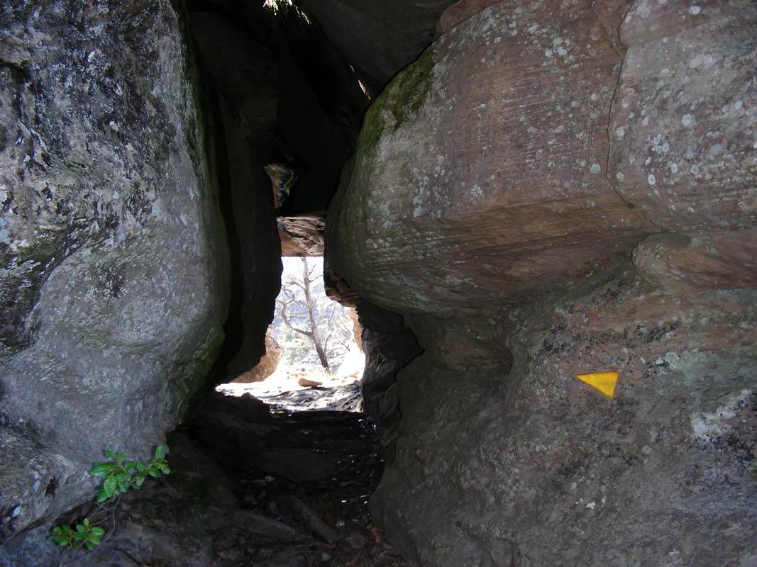
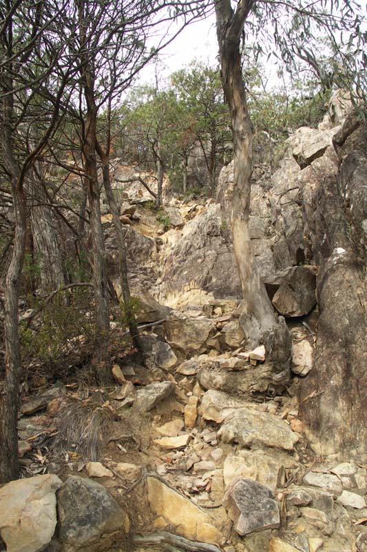
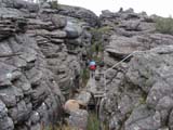
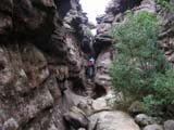
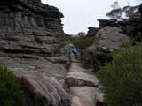
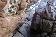
First we scramble through the Grand Canyon,
up the rocks, over the bridges, up the steps and through
the rock holes.
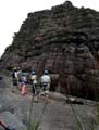
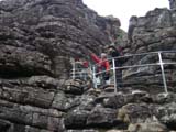
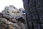
A group of young people is abseiling on the steep cliffs
and we watch them before we continue on through the canyon.
The walk through the rocks is well done and lots of fun.
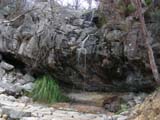
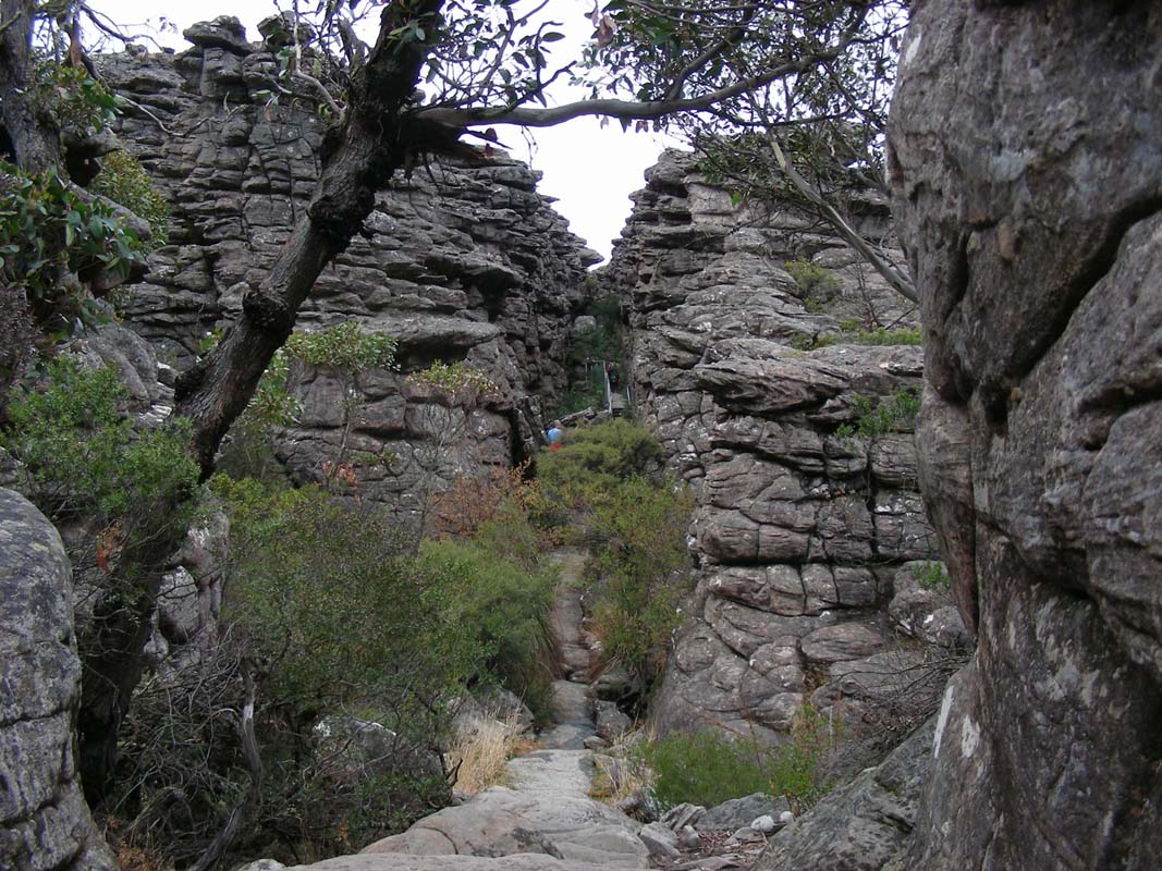
Then the track heads up through some forests, sadly all
burned down recently, and past the Bridal Veil Falls.
They even have water thanks to the recent rains!
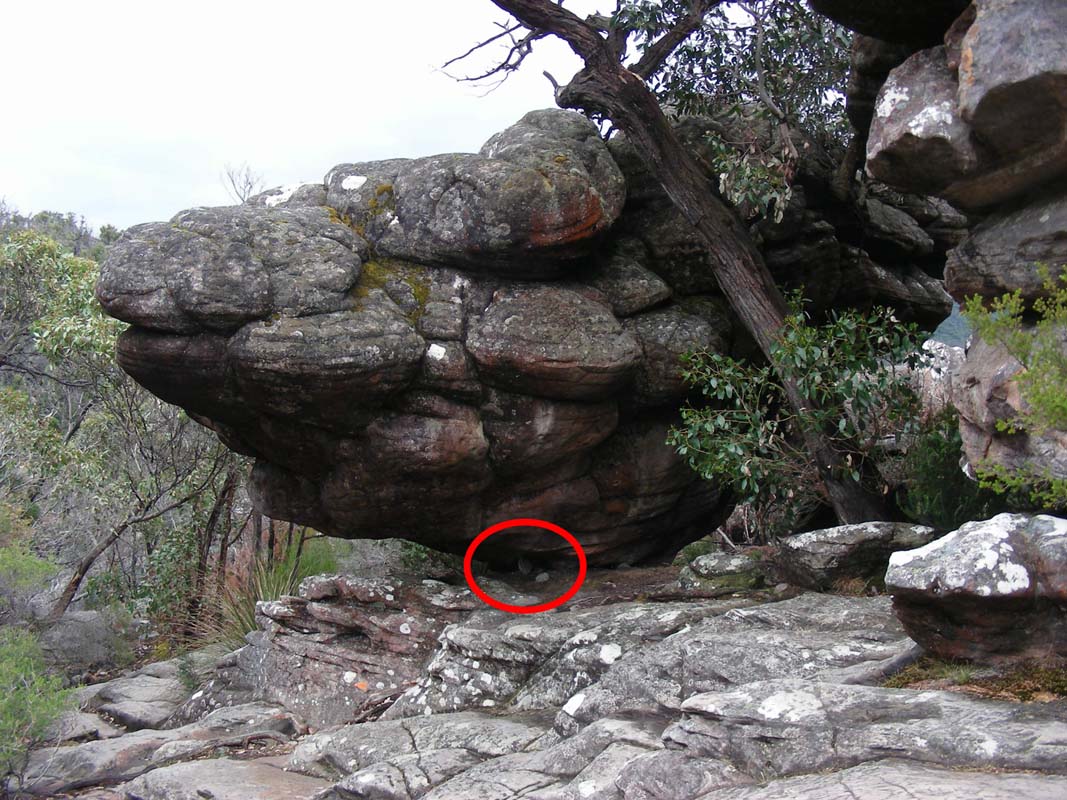
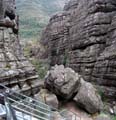
We pass a rock, where we wonder, if that small rock really
is all that holds that enormous boulder ....
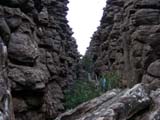
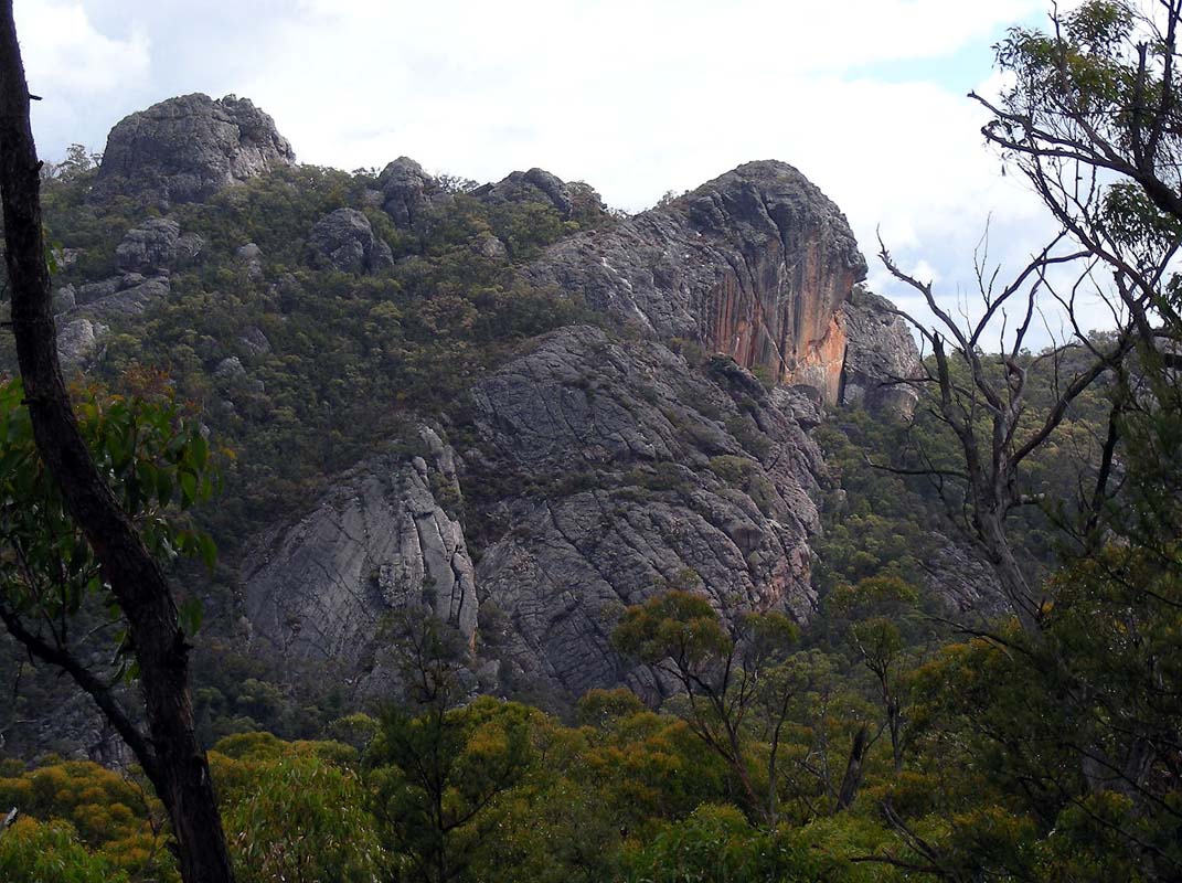
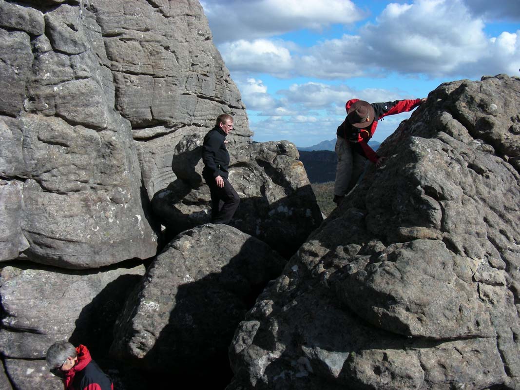
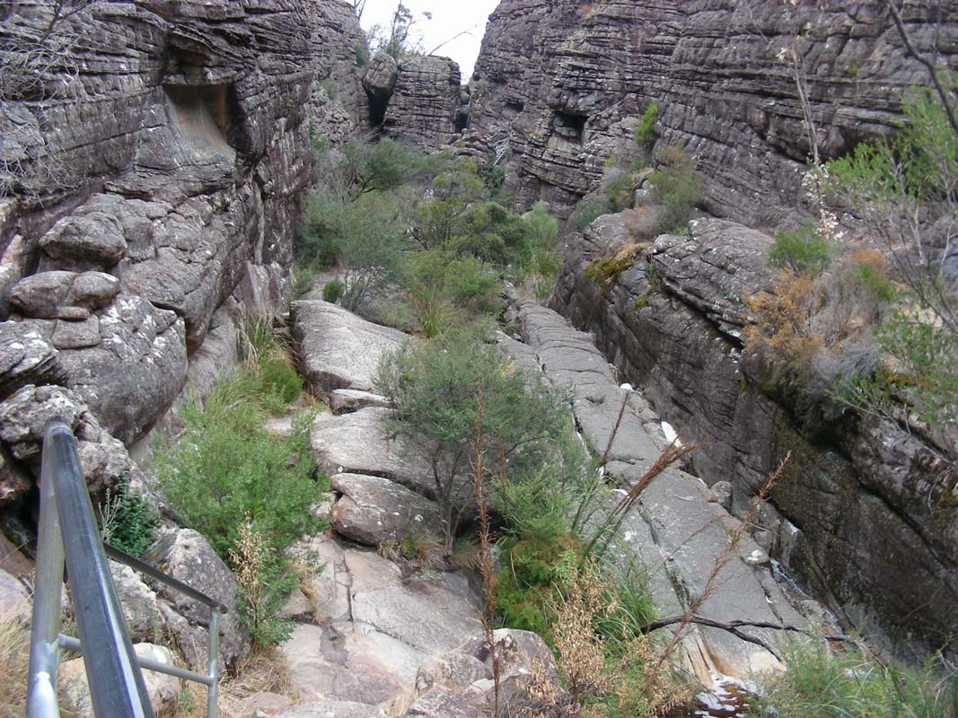
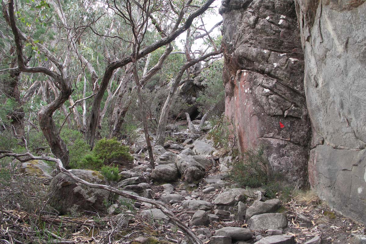
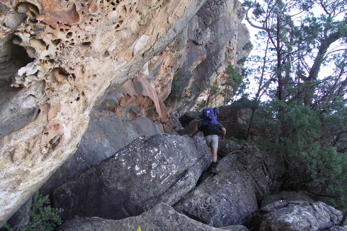
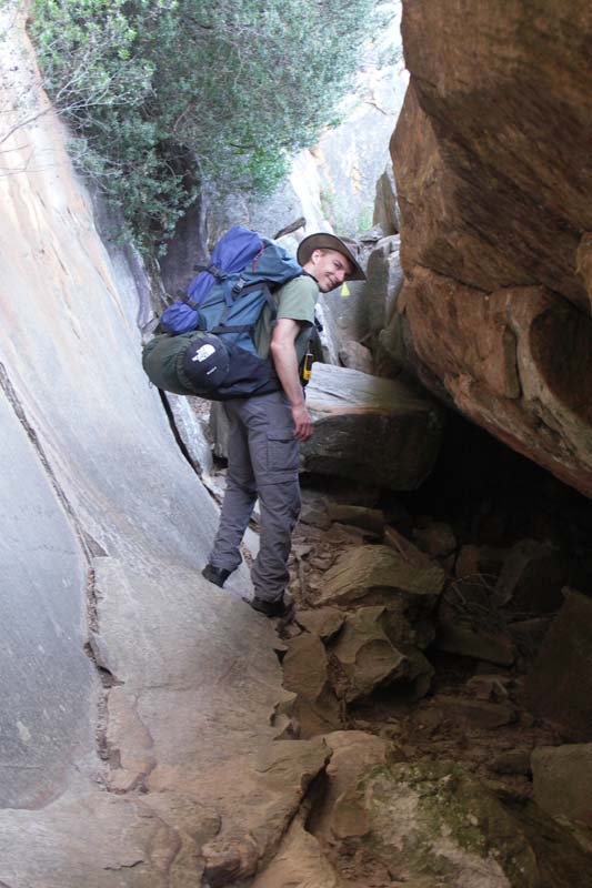
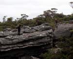
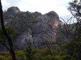
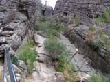
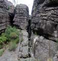
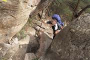
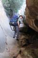
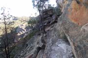
The next exciting section is Silent Street.
This section leads through some high rock walls.
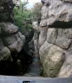
Towards the end the gap between the rock walls is so narrow
that the small back packs scratch along the walls.
All at the end we have to climb up a steep section to reach
the last section of the walking track.
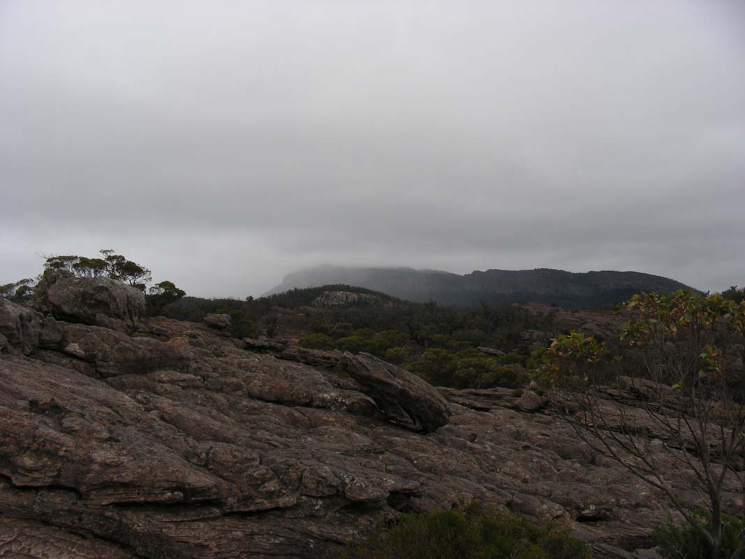
The weather is not really good, more and more rain clouds
appear.
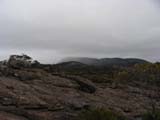
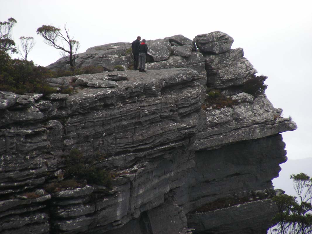
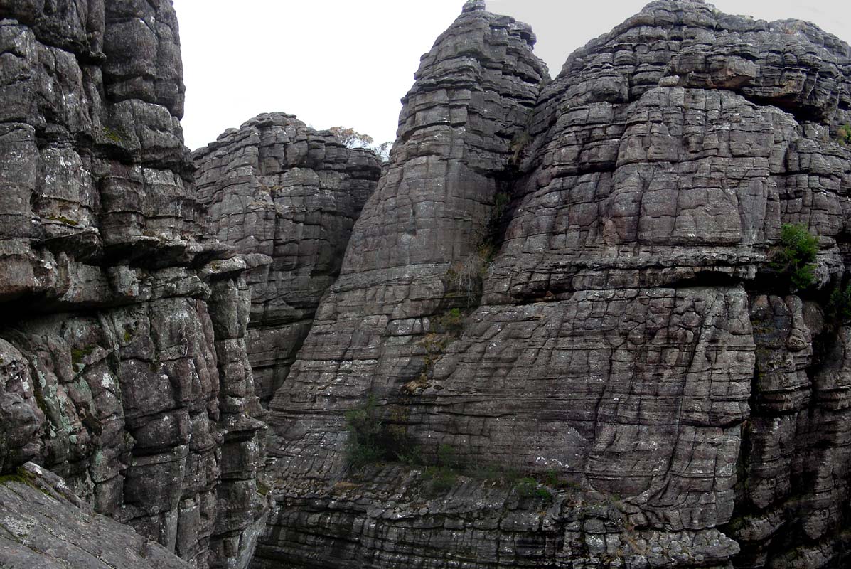
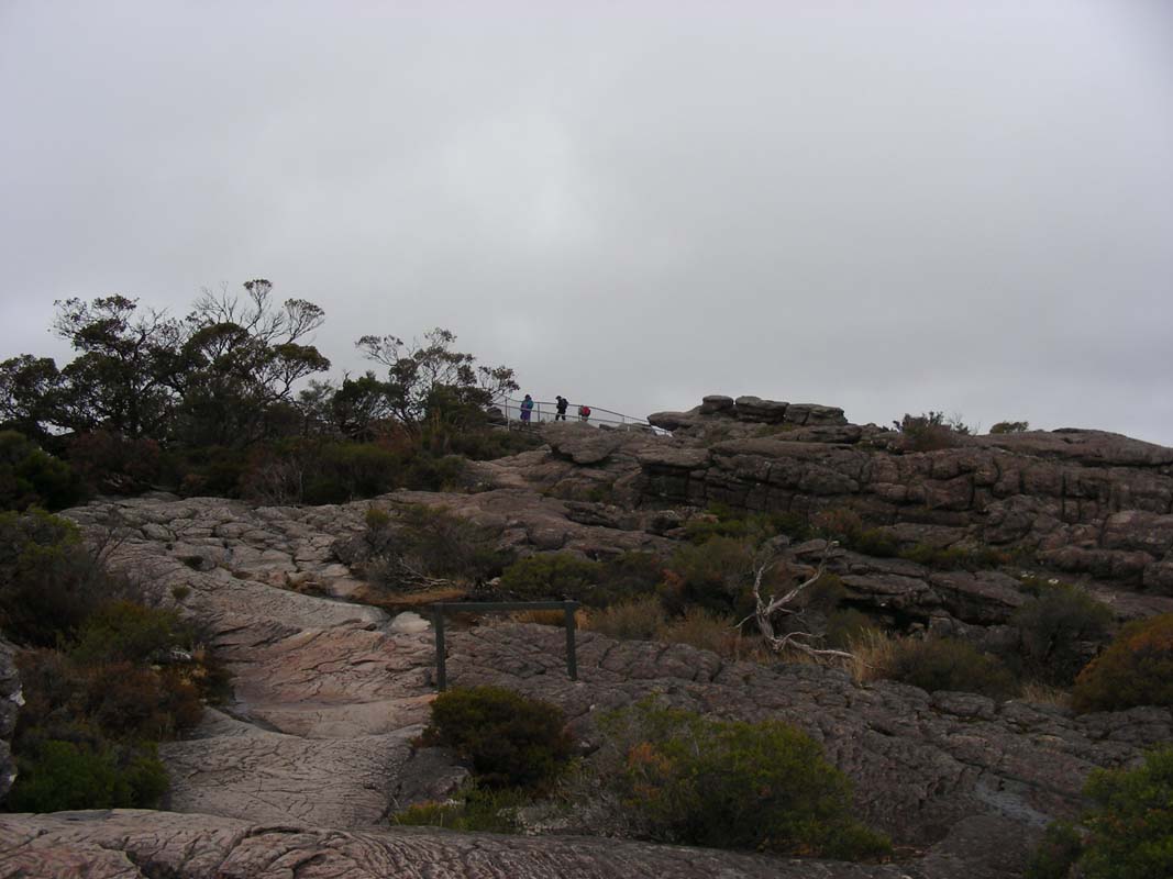
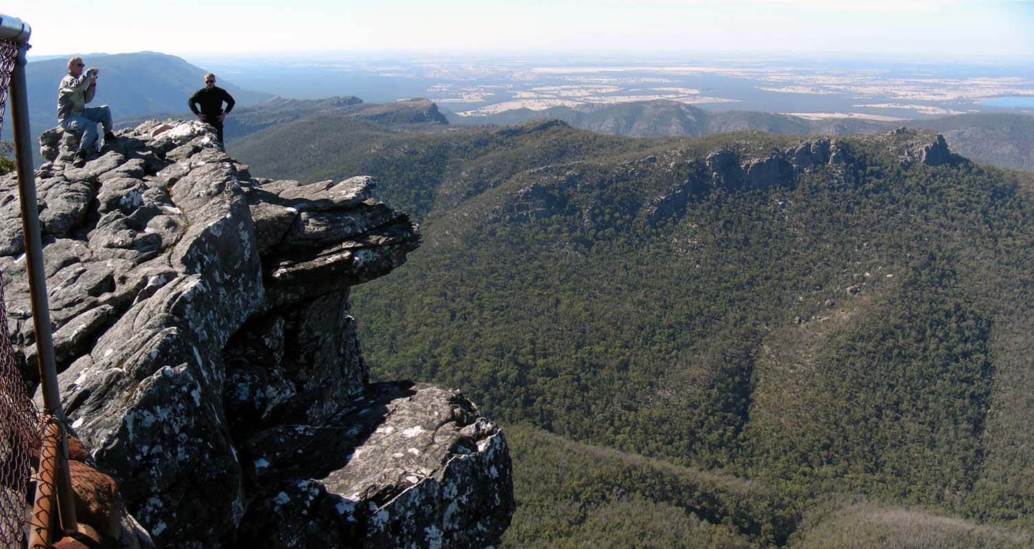
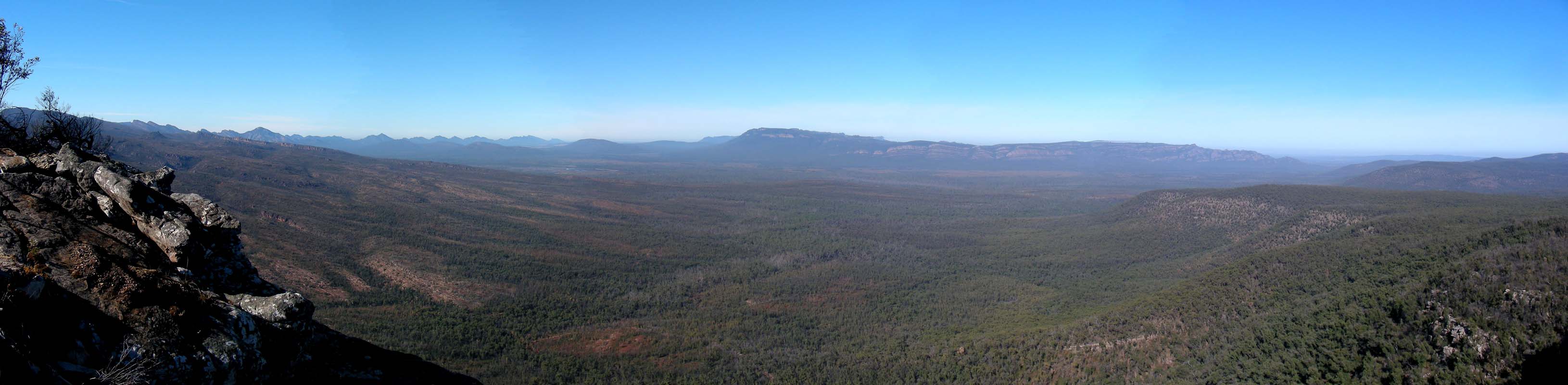
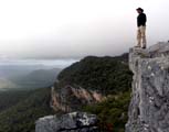
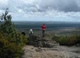
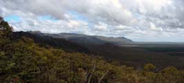
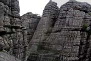
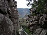
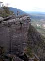
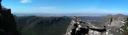
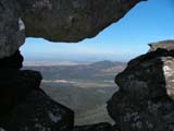
As we reach The Pinnacles a rather strong
window is blowing.
On one side it is good because it gives a view into the valley
below, on the other hand one better watches out, where one
stands; the walls go straight down!
The Pinnacle balcony is overhanging and it takes a bit of
guts for both Susi and Peter to really step out on it.
Then the rain reaches us and we seek shelter below some
overhanging rocks.
Simon is looking for his sunnies.
He had them on before we reached the Grand Canyon, removed
them there and stuck them into his trouser pocket ....
and that was the last he remembers.
While we wait for the rain to clear we check the cameras
for pictures of Simon with his sunnies.
We can actually narrow it down to a short section shortly
after the Grand Canyon where he must have lost them.
On the way back we will have to look for them.
Then the weather clears and the sun breaks through.
Quickly!
Get the cameras out!!!!
And it does really not last long ... the whole way down
we can put the raincoats on ... take them off .... put them
back on again .....
Even though we search we cannot find Simon's sunnies anymore.
He must have used up his luck for today when his camera was
returned to him at the restaurant ....!!
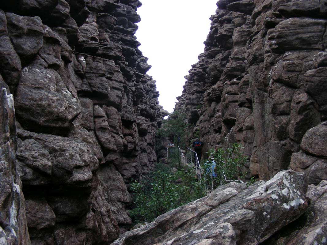
Due to the rain the last part of the walk leading through
parts of the Grand Canyon have turned a bit slippery.
We are glad that they have made some stable hand rails along
the route.
Then it is time to find a spot for the night.
We head over to the Stony Creek Road again where we find
another nice bush camp.
Note:
At the tourist information centre that is also located at
the Brambuk Cultural Centre they have a map showing all free
bush camps in the Grampians .... but they are not listed
on the official camping information at the entries of the
National Park, you must go and ask at the centre!
By now the weather has improved a bit and we can set up
Simon's by now dry tent without having it getting soaked
again.
Still lit is very unpleasant with only some 15°C.
We all get into the OKA.
It is a bit crammed but it is possible to have 3 people sitting
at the table and 2 people working along in the kitchen .....
and we have it cosily warm and that is all that counts!
Over night the temperature drops to even further to 6°C
and the drizzle sets in again.
On Monday morning it is still drizzling and foggy too so
we all turn around and have a bit of a sleep in.
By 9 the drizzle stops and we can consider packing up the
tent.
Again it is hung up inside the OKA, but this time we place
the inner tent directly on the warm floor and hang the outside
skin onto the clothes line to be dried by the flow of air.
This way both parts can dry at the same time ... we are learning
....
We decide to visit some lookouts that are below the cloud
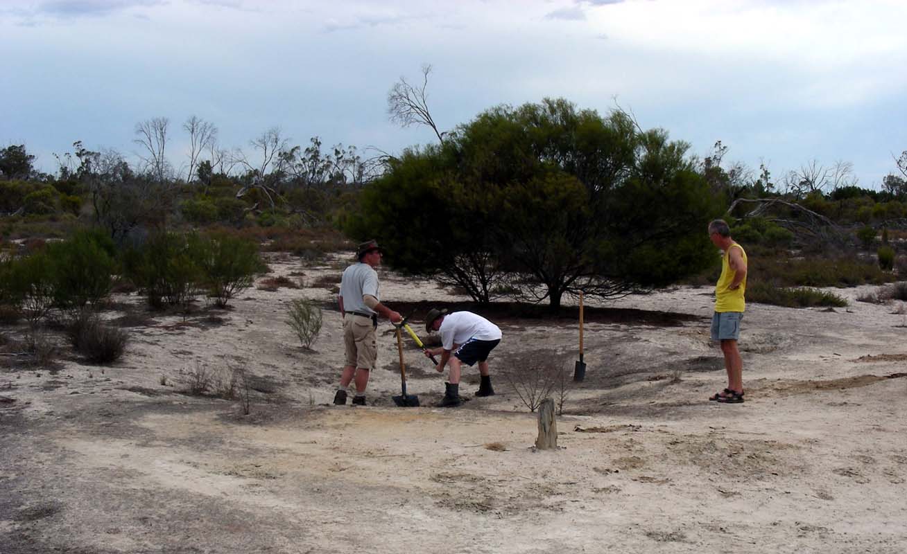
cover.
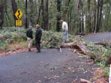
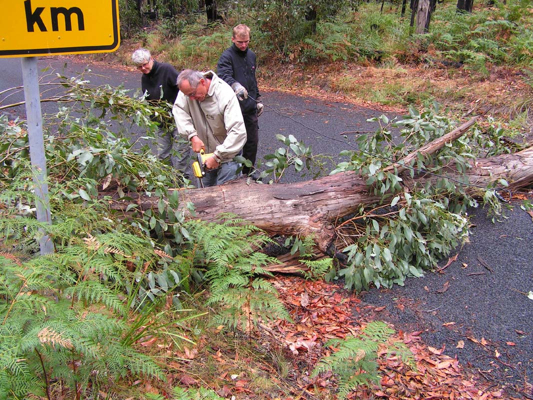
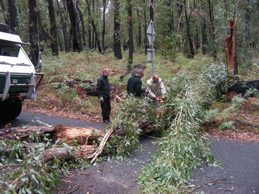
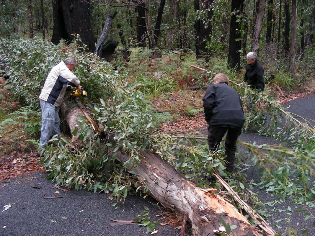
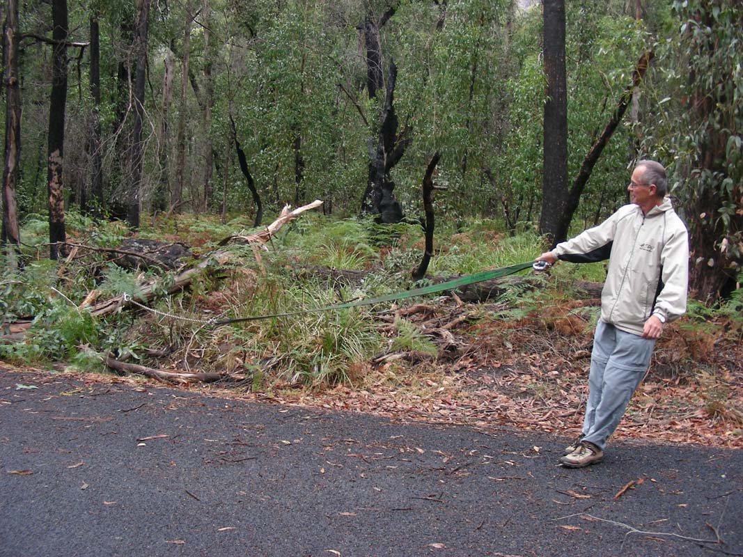
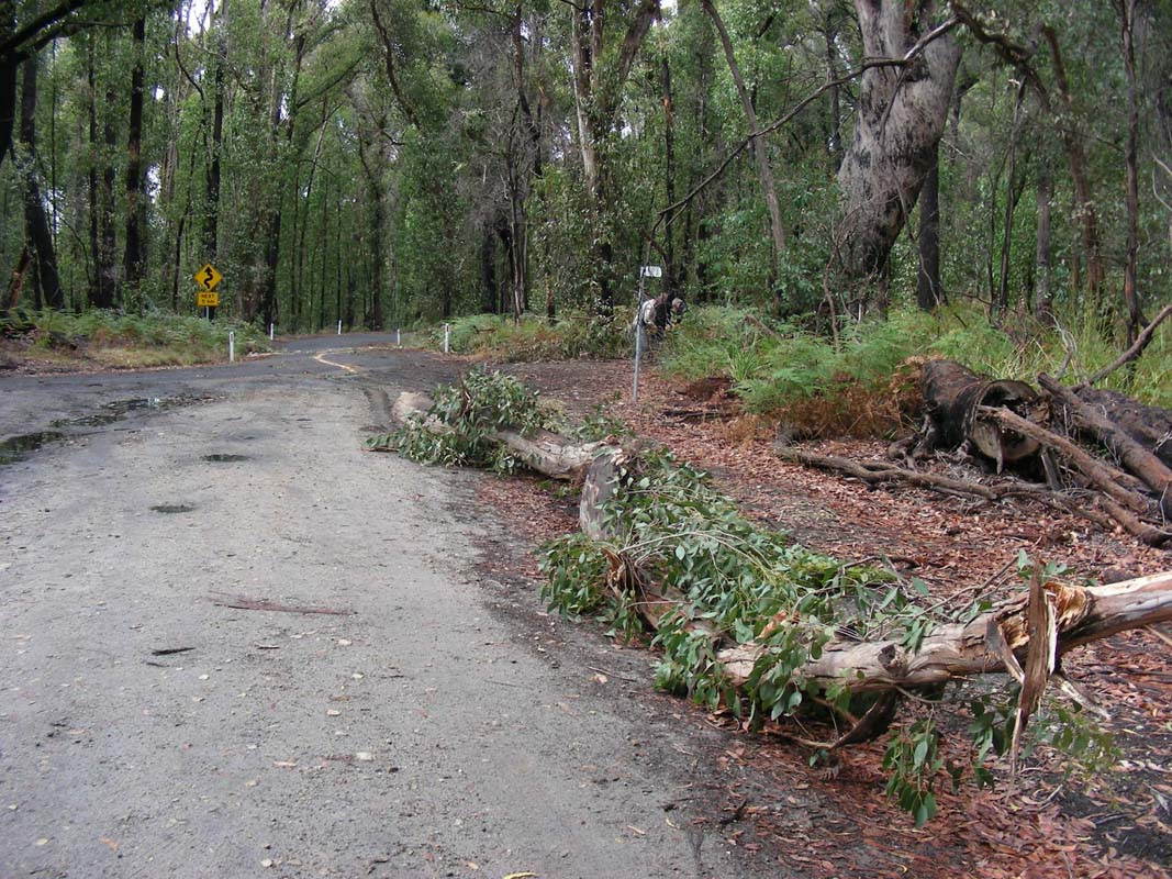
As we reach the bitumen of the Silverband Road we
find a tree blocking the passage.
It is not the direction that we would have to drive so we
leave it so Simon if we should get the electrical chain saw
out and clear the road or not.
What a question!!!
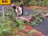


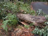
Soon the tools are out and Peter is cutting the tree in
halves. The 1300W power comes from OKA's house batteries
and inverter.
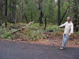
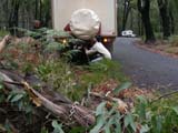
Next is to attach the chain and for Ruedi to pull the tree
off the road onto the dirt track.
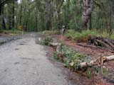

An hour of pictures and movies later the road is cleared
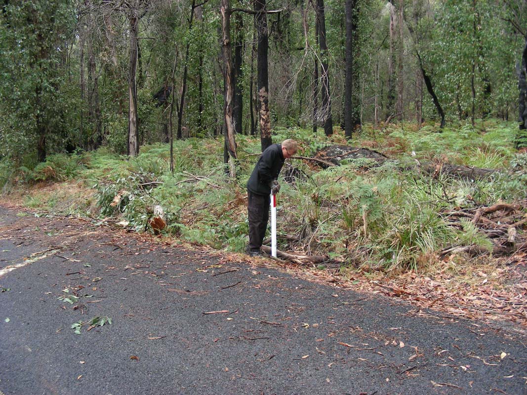
and Simon finishes the job by placing the white road marker
back into its hole .....
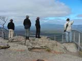

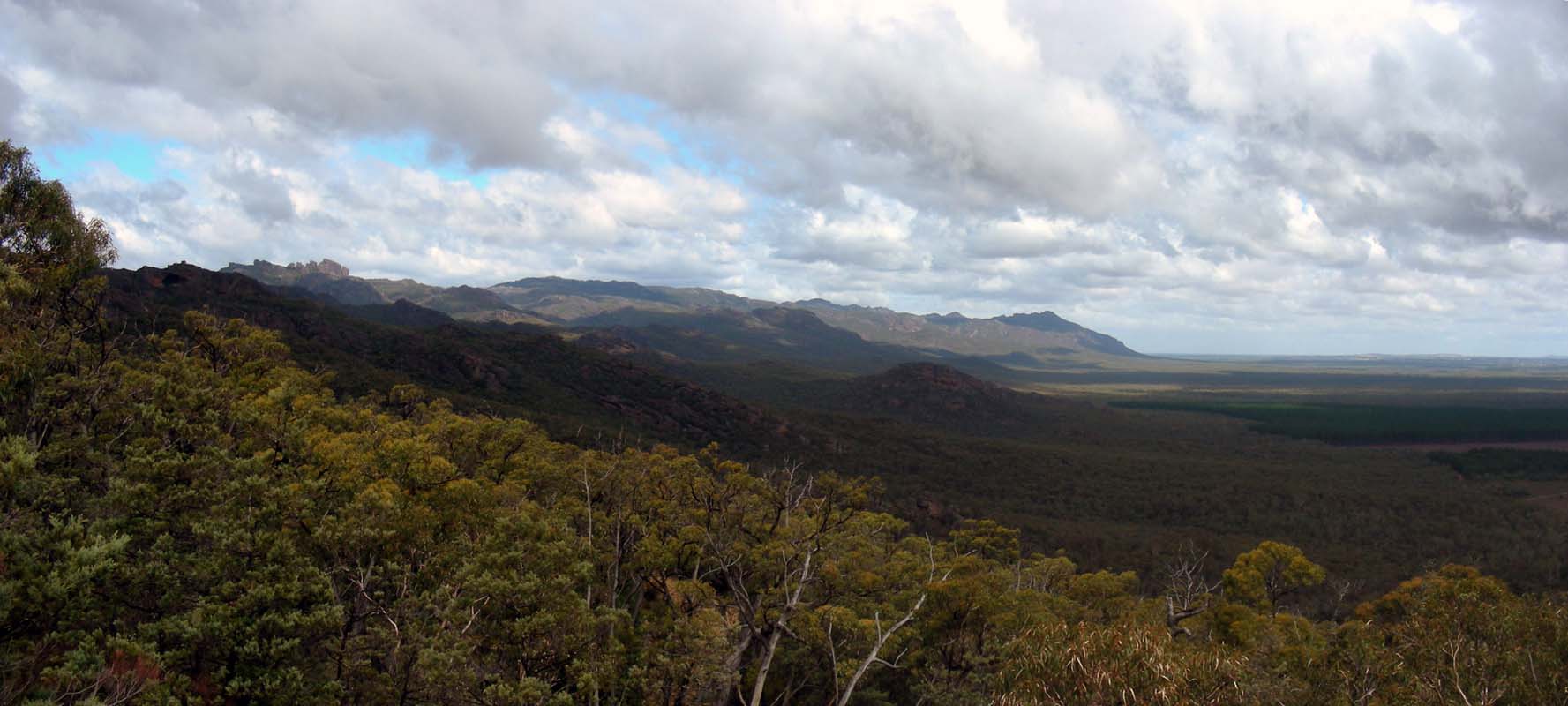
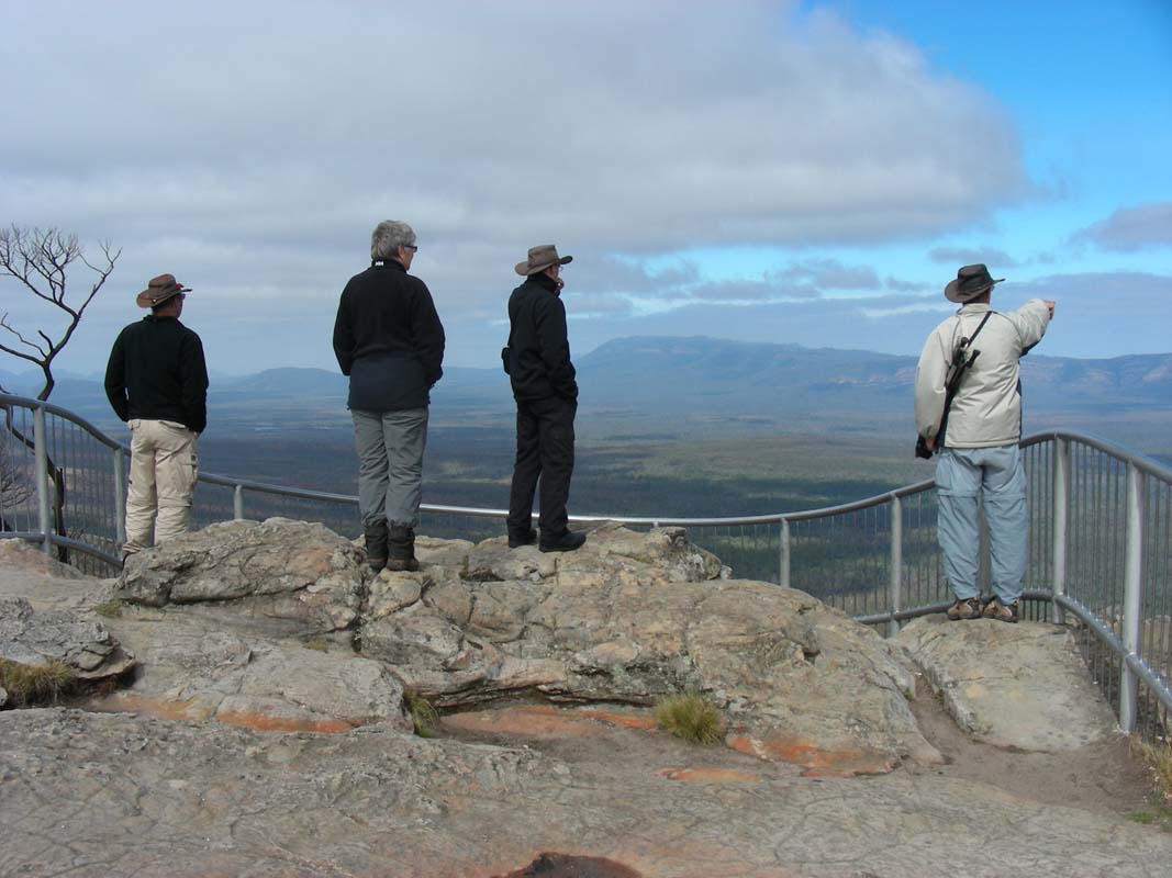
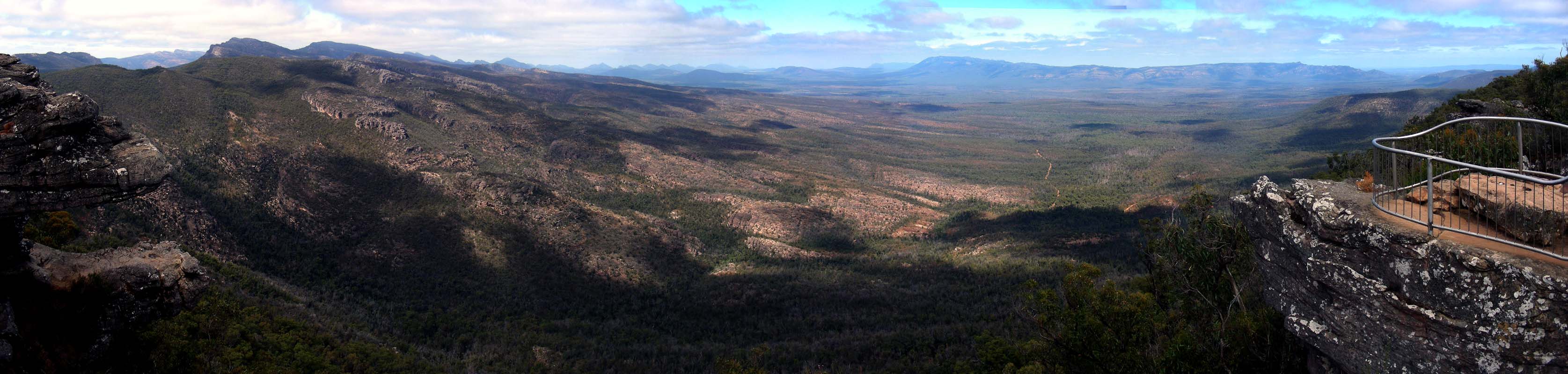
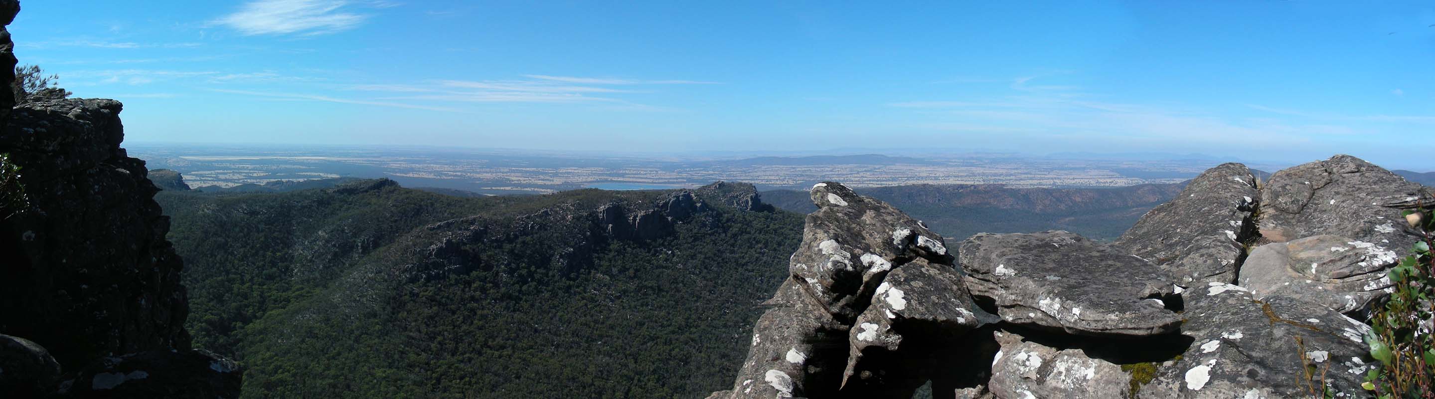
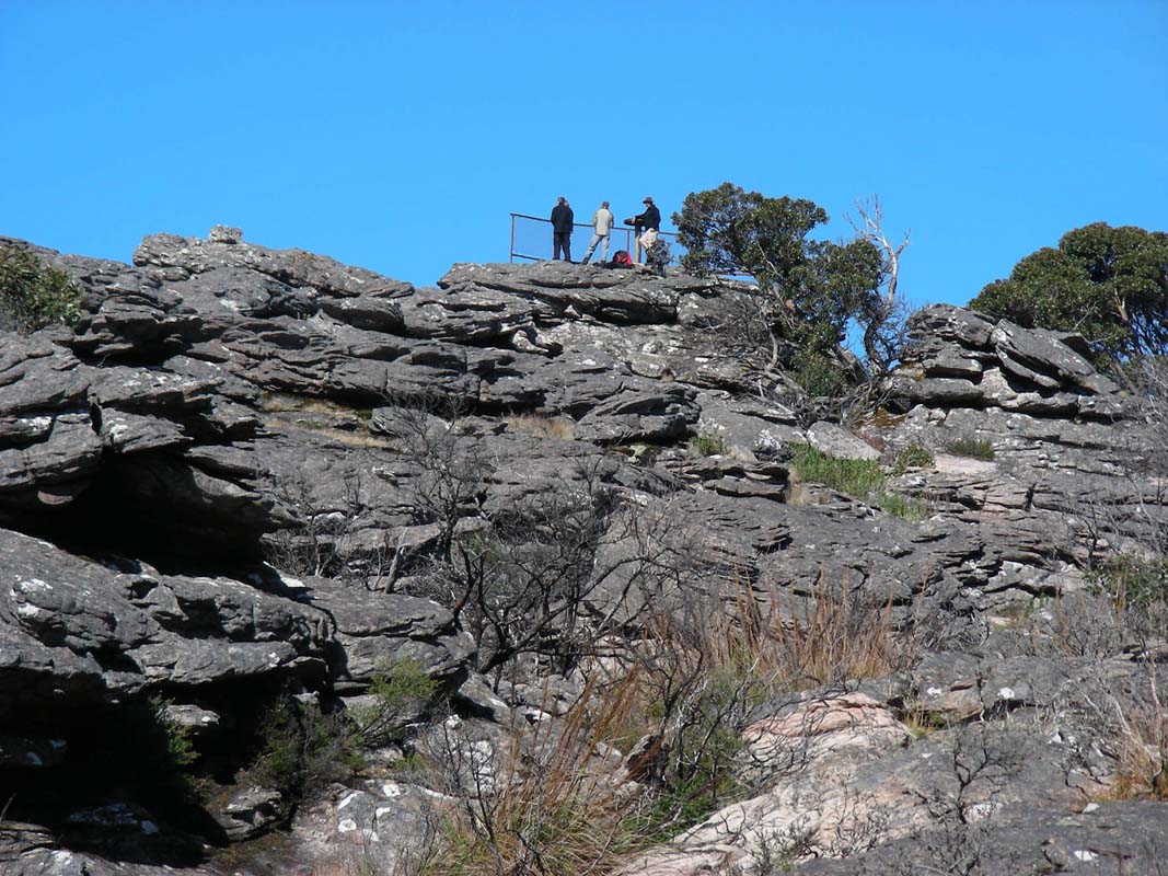
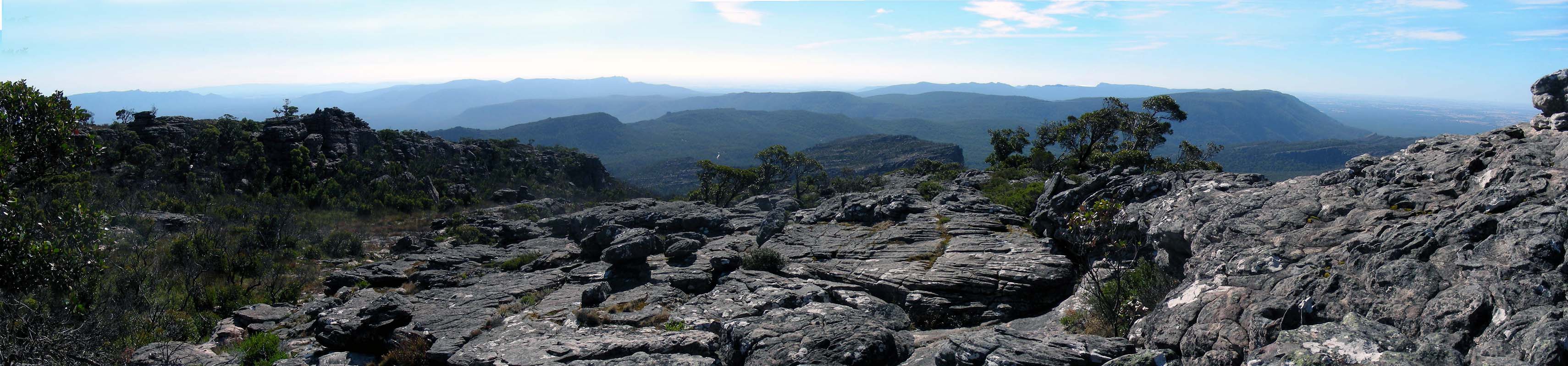
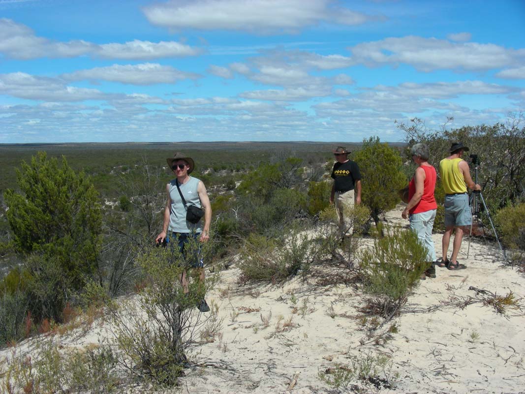
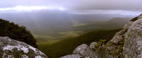
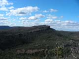
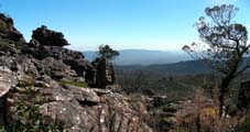
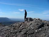
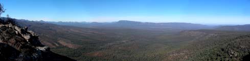
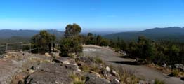
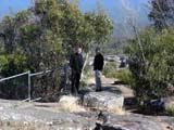
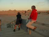
We get back to our original plans and visit the first lookout,
being Reed Lookout.
A strong wind is blowing but the view is not too bad ....
and the wind is blowing the clouds away!


We walk over to The Balconies and the
weather improves even more.
This could turn into a fine day!
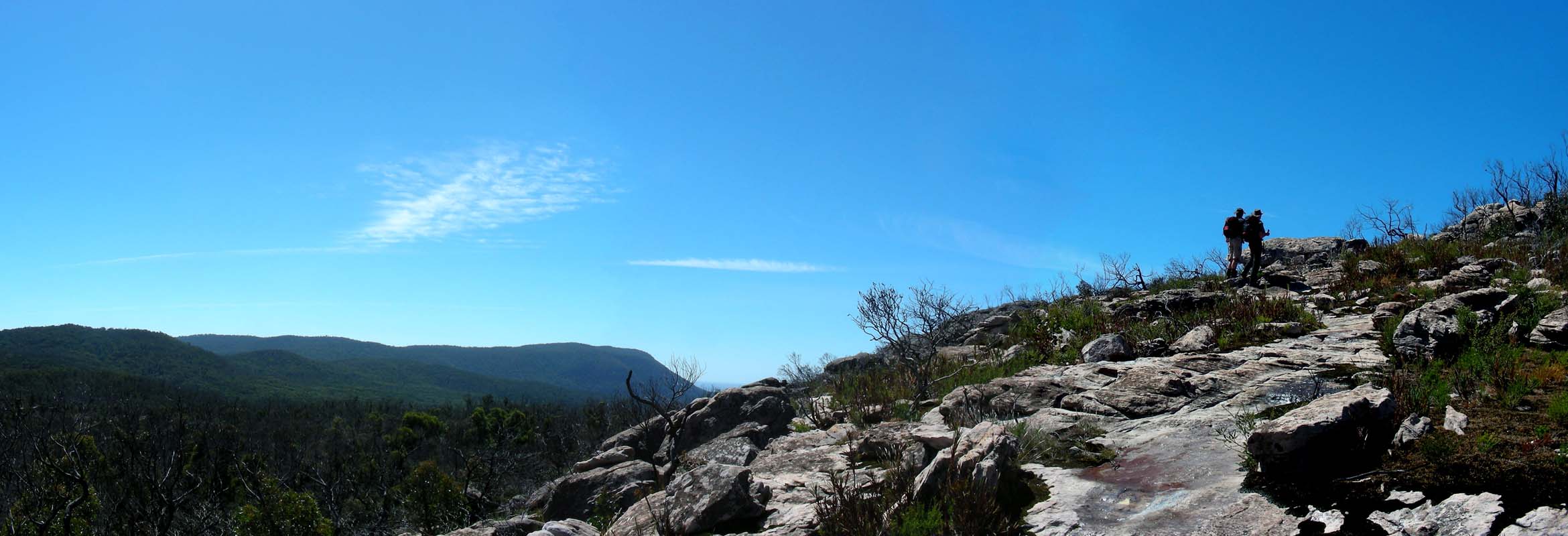
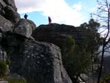
Once back in the car park we decide to change our plans
and to hike onto Mt. Rosea.
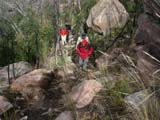
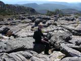
After a quick lunch we hit the walking trail.
First it is easy but then the rock scrambling and rock
hopping starts.
There is a lot to be seen along the track.
The two fast ones, Ruedi and Simon, head ahead to find the
track .....
... Heidi and Peter are in the middle ...

... and all at the end comes Susi ...she is too busy inspecting
all and taking pictures.


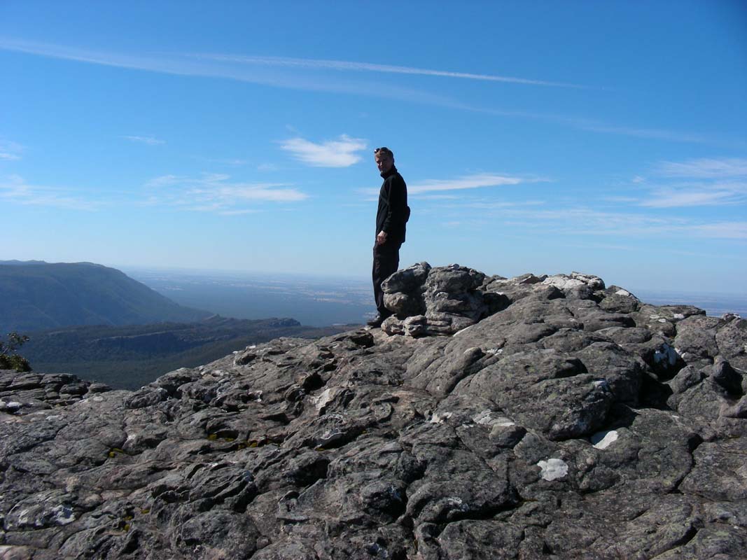
By 4 PM we have all reached the peak.
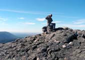
The views are great, the sky is blue and life is fun.

But we cannot stay too long as the way down is still ahead
of us.

The track is not marked too well.
Every so often we have to consult the GPS to be sure that
we are on the correct track.
Simon has been taught by Ruedi on how to use the GPS and
is now getting practice with back-tracking.
In only 1 ½ hours we are back at the car park bringing
the total walking time to 3 ½ hours which is below
the time given as an indication in the track description.
And we even feel pretty good .... except some sore feet and
knees ... but that is not too bad ...
Then we head back to "our" bush camp from last
night and are lucky that it is still available.
Then we all enjoy a hot shower then a good dinner and then
a warm and soft bed.
The clear night also means that the temperatures drop even
bit further ... 4.5°C!
Where are the balmy nights of summer?????
On Wednesday, March 18, we wake up to glorious sunshine.
Quickly we pack up.
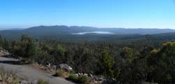
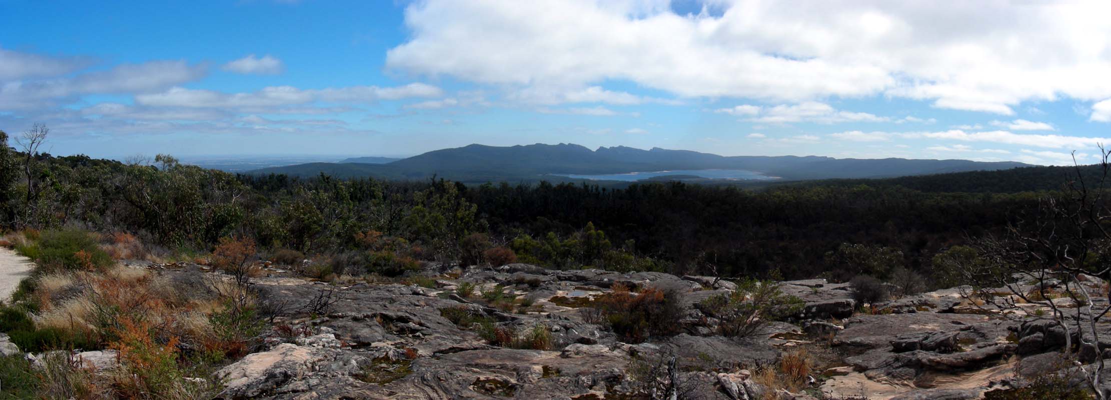
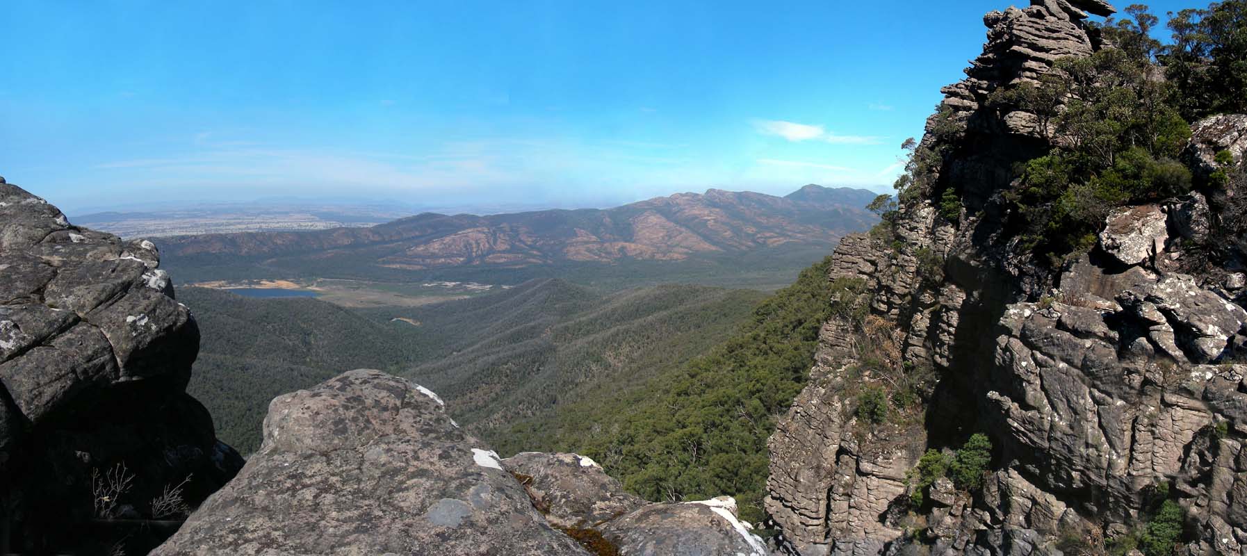
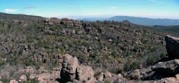
On the way to the MacKenzie Falls we stop again at the Reed
Lookout to see if the views are better ......
Yes they are ..... and some pictures have to be taken again.
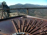
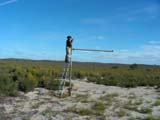
There is also an information plaque indicating the names
of the mountain peaks in view where we can clearly identify
Mt. Rosea on.
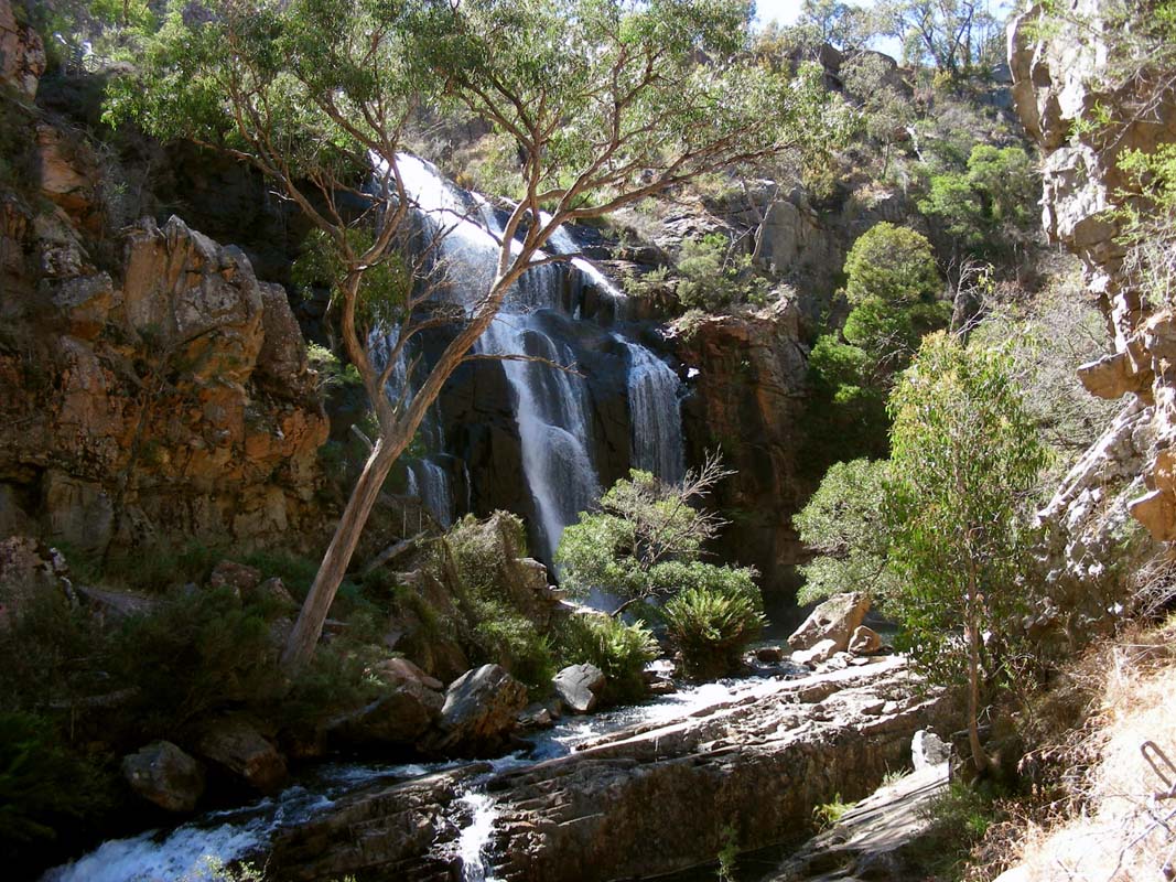
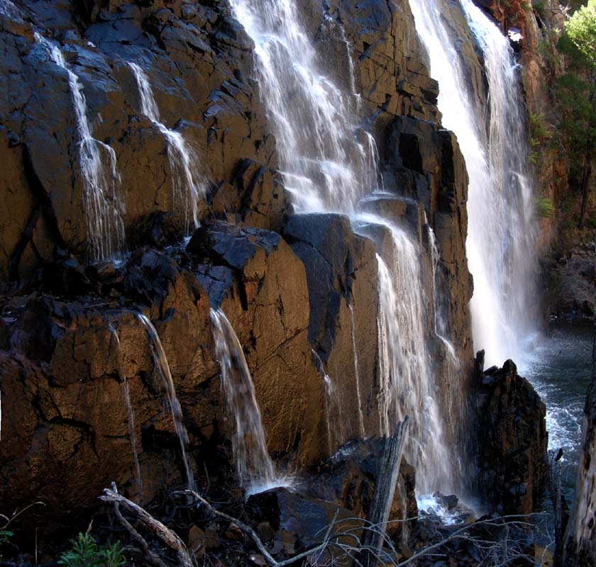
At the MacKenzie Falls there are already
many cars in the parking area.
Well, with today's sunshine it is no wonder!


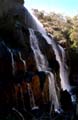

We head down to the falls.
Thanks to the recent rains they have a bit more water than
in the last few months.
At least here we get "rewarded" for the lousy weather
we have had to endure the last few days!
Next stop is the Zumstein Picnic Area where
there are supposed to be many half-tame animals ... but not
today.
It is very dry so it is possible that the animals have moved
on to a place where they get more food.
As Ruedi and Simon want to hike on top of Mt. Difficult
and stay on the mountain for the night (Simon wants to watch
the sunset ....) we head over to the Troopers Creek
Camping and get the gear packed up.
The weather is not that good anymore, some cirrostratus
clouds have appeared but we think that there will be no rain.
Still the bad-weather gear is packed and the warm
sleeping bags too.

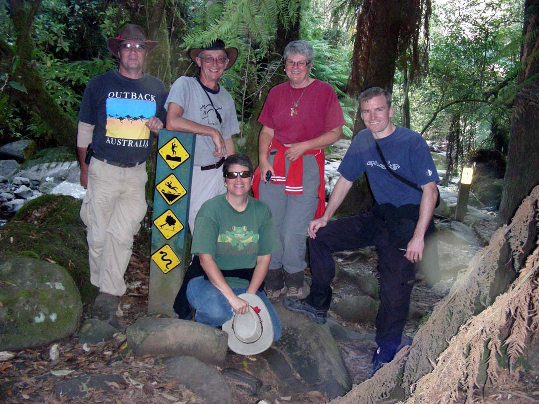
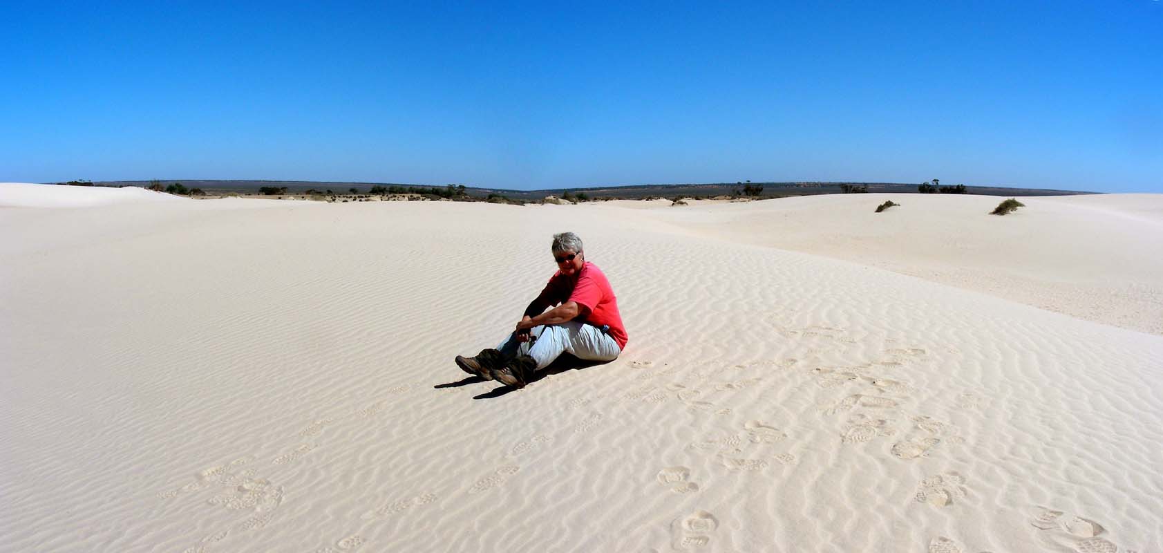
The expedition team :-) :
Shortly before 4 PM we (Simon and Ruedi) leave
for the mountain peak.
The trail is 4.5 km long and climbs
500 m.
At the beginning it is quite easy and level before
it starts getting steeper and rocky.
Midway up we cross two
other hikers.
They tell us the view at the top will be
worth all the effort but it would get a bit challenging further
up.
The trail first winds uphill to the base of the
rock wall, then passes along that base in north-easterly
direction before heading into a south-east heading gully
which brings us behind the mountain.
The peak is approached
from the east side.
The whole track is physically demanding,
but without any dangerous sections.
No mountain climbing
is necessary at all.
We come across one single section where
we have to hand the backpacks down a rock.
We setup camp in a sheltered valley 50 m below the
peak before heading up to the summit for the sunset.
The base team:
In the meantime Heidi and Peter and Susi
find themselves a place for the night at the Golton
Track Bushcamp.
Some pretty grey and orange Gang-Gangs, some sort of Corellas,
fly around but they are very shy and are too far away for
photos.
From there we call the base by sat-phone
and inform them about our success.
Around 7 PM Peter's Sat-phone rings, Ruedi and Simon are
on the line.
They have reached the top of Mt. Difficult and are standing
at the triangulations point.
The reception is bad and the line is interrupted.
Even though we try to connect again we cannot.
It looks like the satellite we were using has disappeared
on the horizon ....
Ahh well ......
At least we know that they are fine.
The clouds are still covering the sky and it looks like
that Simon will not have his sunset today.
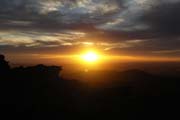
Just before the sun sets behind he hills it breaks through
a small gap in the clouds and bathes the range into pretty
orange light.
The spectacle only lasts a very short time .... and already
the orange turns to violet ..... and the sun is gone for
today ....
We hope that they also had the chance to see it .... and
when looking at Simon's pictures it looks like it (thanks
Simon for providing them to us!).
As it gets dark the Kookaburras in the trees of the camping
serenade us.
The temperature drops to 8°C over night and the heater
kicks in more often than usually ... only one person in the
OKA does not generate as much heat as two would ....
(Yes, Susi also misses Ruedi's "hot air" a bit
.... it is dam quiet in the OKA ....)
On Thursday morning shortly after 7 AM the Kookaburras in
the campground welcome the day with another grand concert
.....
click
here to hear them sing
(file type: .mp3, size: 2'865 KB).
The sky is cloudless and soon the sun starts shining on the
tips of the surrounding hills.
Should Ruedi and Simon have managed to wake up on time they
must have a very pretty sun rise on top of the mountain.
After breakfast the campers are being made ready for travelling
as the pickup spot for up Ruedi and Simon is at the Trooper
Creek Campground.


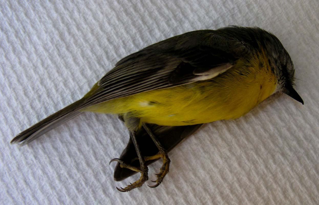
Suddenly Susi hears a "stomp" against the kitchen
window ... a small bird has tried to fly through the OKA
.... it is so sad to watch the small thing lying there and
dying but there is nothing Susi can do ....
Once back at the Trooper Creek Campground we get busy with
the computers.
Heidi and Peter erect a clothes line and hang their bedding
and all the other things out into the sun to have it all
properly dried.
It is the first day with nice warm sunshine after all this
drizzle and fog.
Also a dry wind blows and soon all is dry again.
Here Ruedi's report on the hike:
Early in the morning
we head to the summit again for the sunrise.
Simon enjoys it, but for me it is nothing special.
Too many clouds cover the sky.


Soon after we take down the tent and start our descent.
The sun is out now and the temperature is quite warm.
We
are happy that it wasn't that warm yesterday on our way up.
This is the most tricky section of the trail.
If it wasn't
for the trees I would probably have had problems to
cross it, but the trees mask the steep drop making it
easy(er) to cross the narrow band.
Here
is the trail for the ones that are interested
(file type: .trk [Garmin-MapSource Format], size: 17
KB).
By 11 AM we hear Ruedi's voice and soon after he and Simon
arrive at the camp.
They are sweaty and a bit tired but happy.
They have had a very warm night on top of the mountain, a
warm wind had been blowing all night and they had not even
used their sleeping bags.
Funny how in only 2.8 km distance from us and some 500 m
higher up the weather can be that different!
After lunch we drive to Horsham where
we stock up.
As Susi wants to pay with the credit cards the card is
rejected ....
Hmmmm .... strange ....
At the service station the credit card is rejected again
....
Hmmmm .... what's up?
Susi goes to the bank to find out.
It is an almost brand new card, only 2 month old!
The teller at the bank tells Susi that the card was stopped "on
request of the customer" .....????????
Now we are confused.
The supervisor comes and has a look too.
Then she says that the account has been migrated to a new
card.
Now all is clear.
The bank is migrating all credit cards to a new system and
we had received a mail from our "post lady" that
last week some new credit cards had arrived in Queensland.
We had then told her to hold on to them as we still had the
old cards that were working.
What we did not realise then was, that the old card was going
to be cancelled.
Well, we will have to survive without credit cards for a
week until the cards have arrived in Mildura where we will
pick them up in a week or so.
Luckily in the areas where we are travelling we don't need
credit cards that often ... there are no shops in the National
Parks we are travelling through!
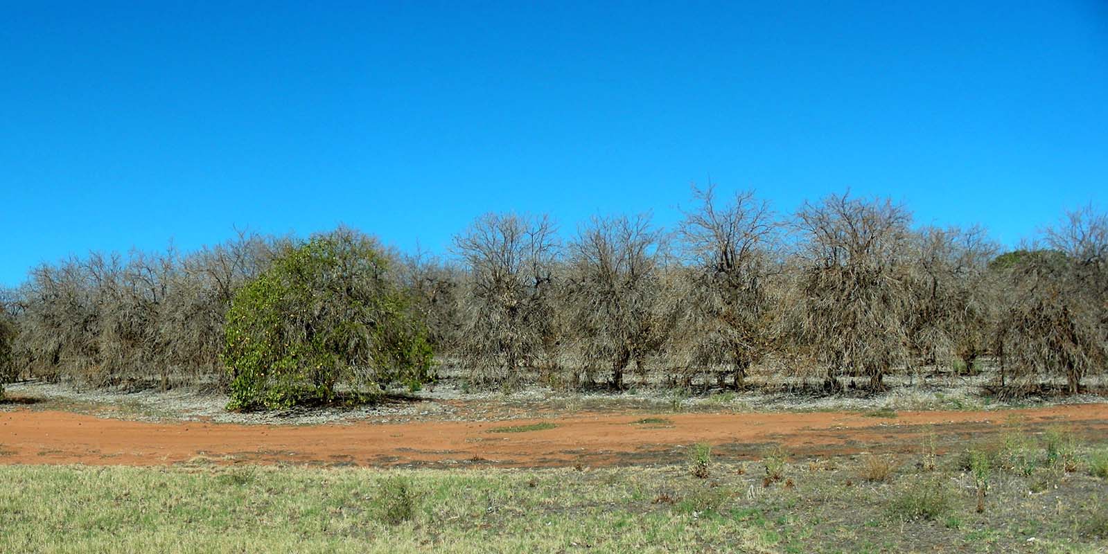
We head north through large pastoral areas to Pimpinio and
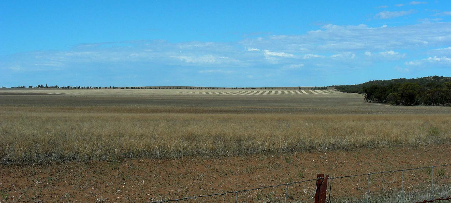
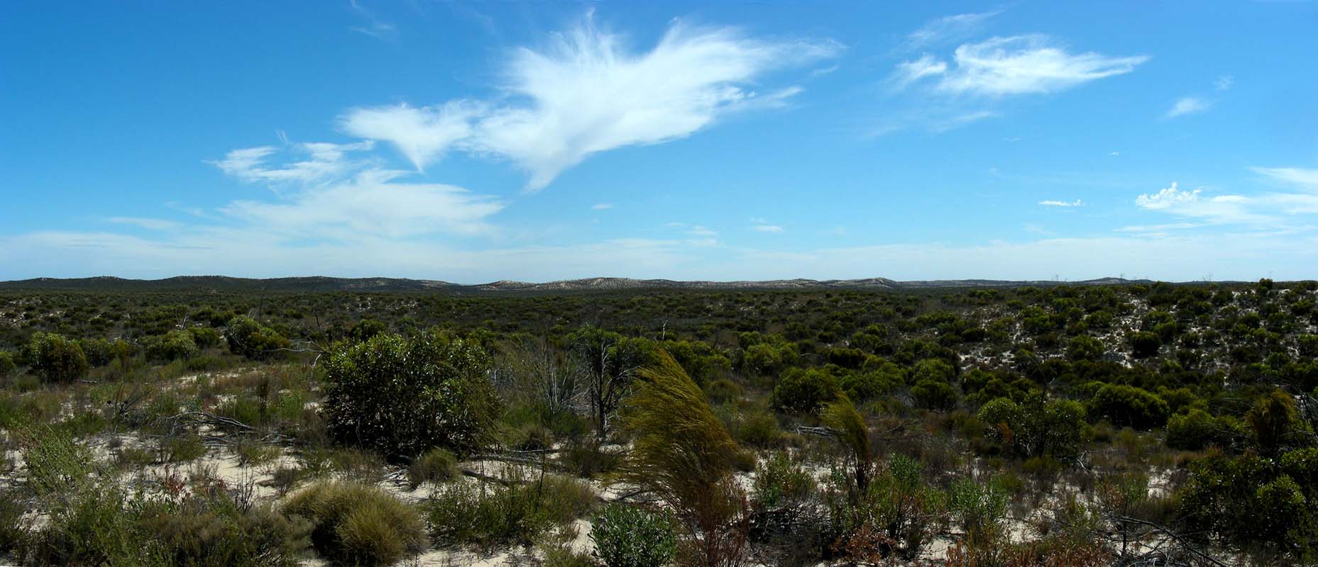
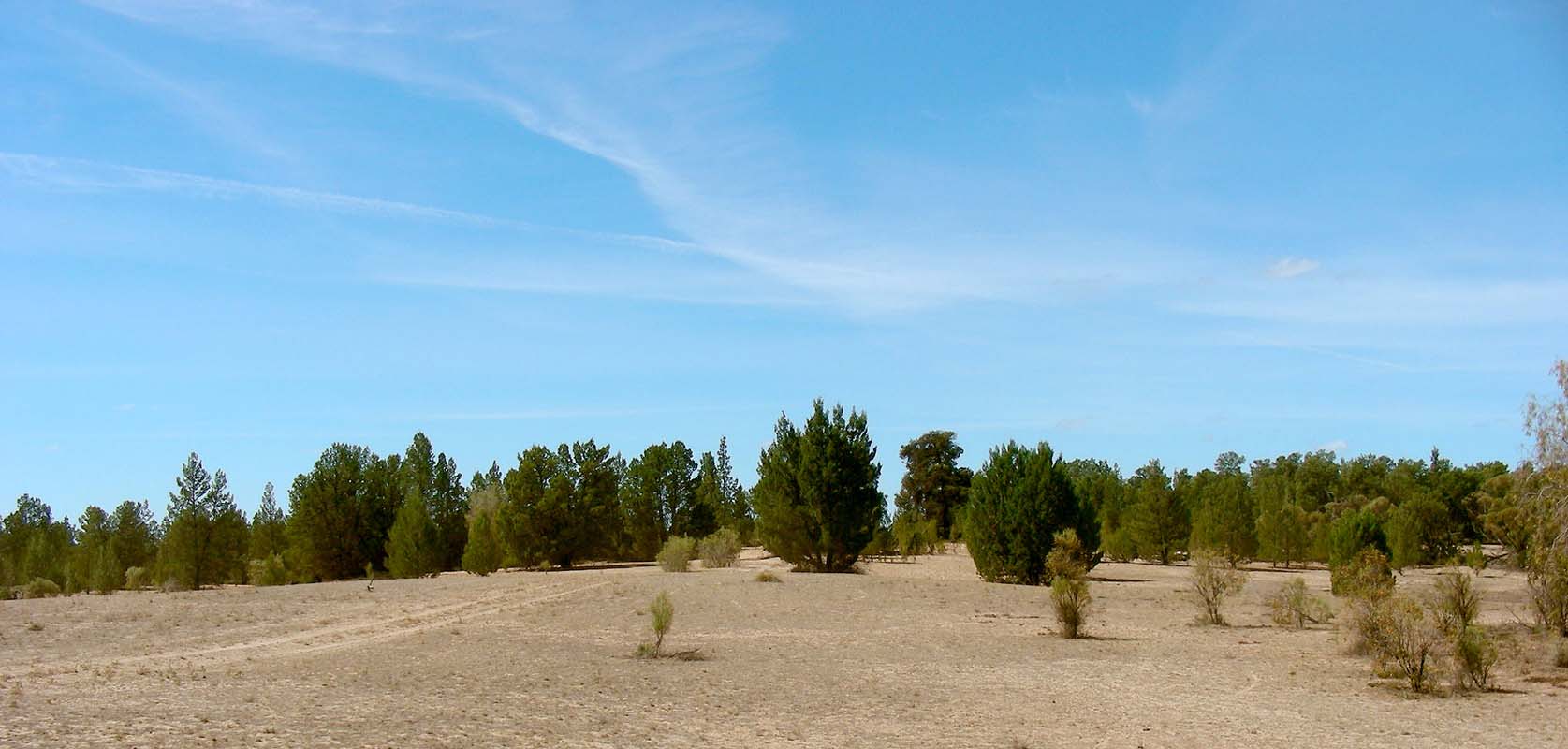
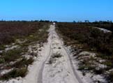
turn west towards the Little Desert National Park.
The Little Desert is described as "the desert that isn't!" with
low rainfall averaging 450 mm each year, compared with 640
mm for Melbourne and 530 mm for Adelaide.
But as it is surrounded by agricultural country we wonder
a bit what we will find ....
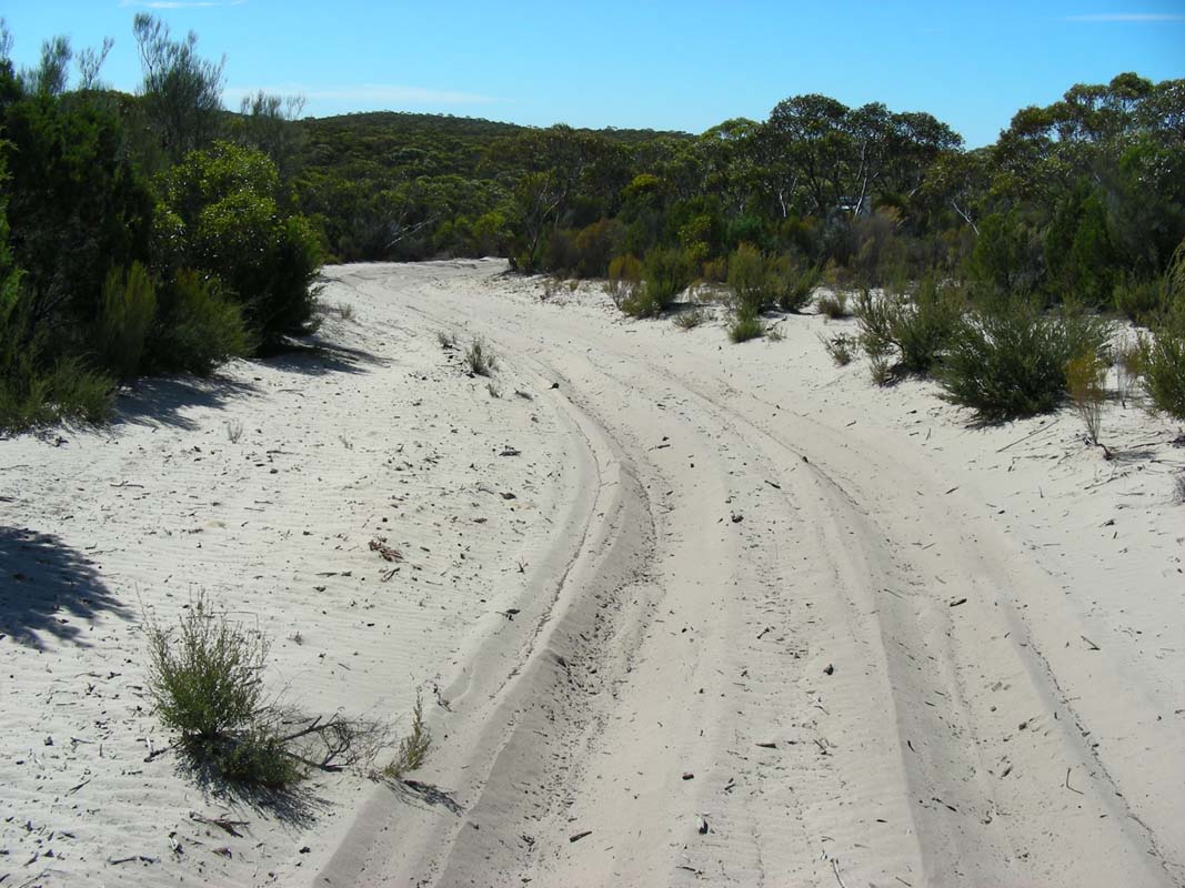
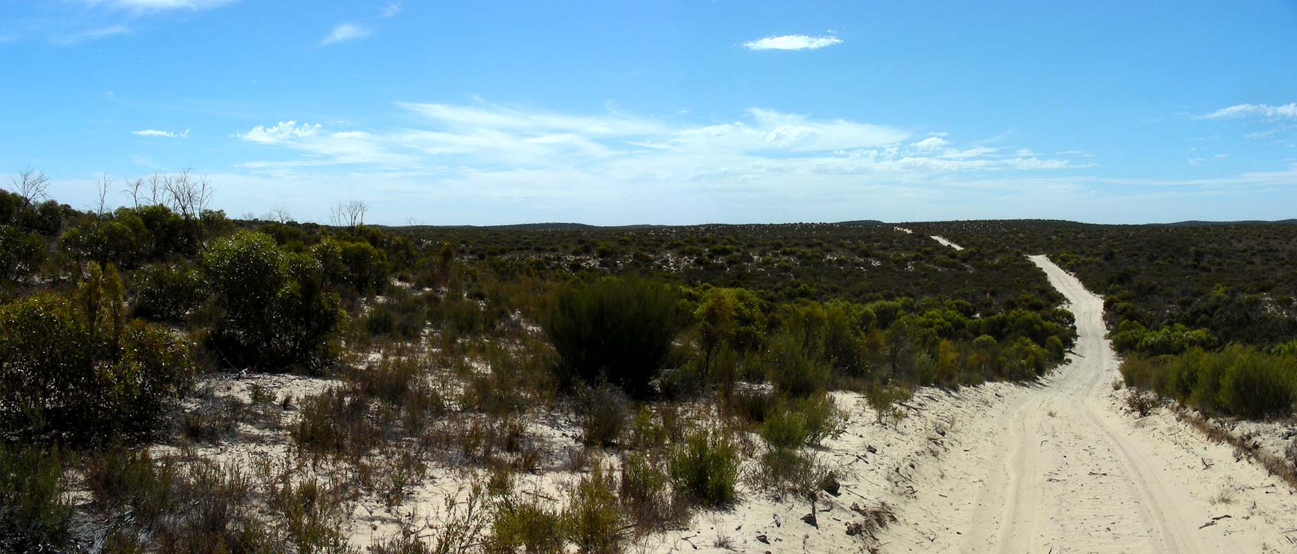
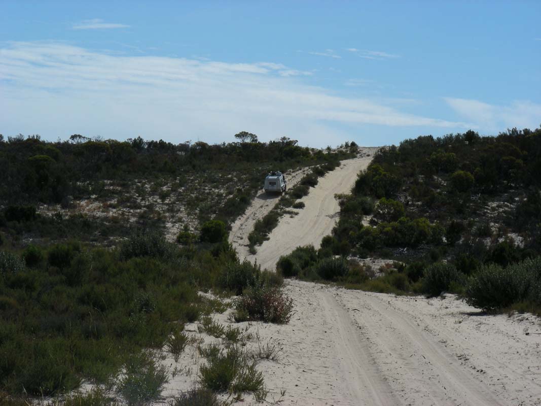
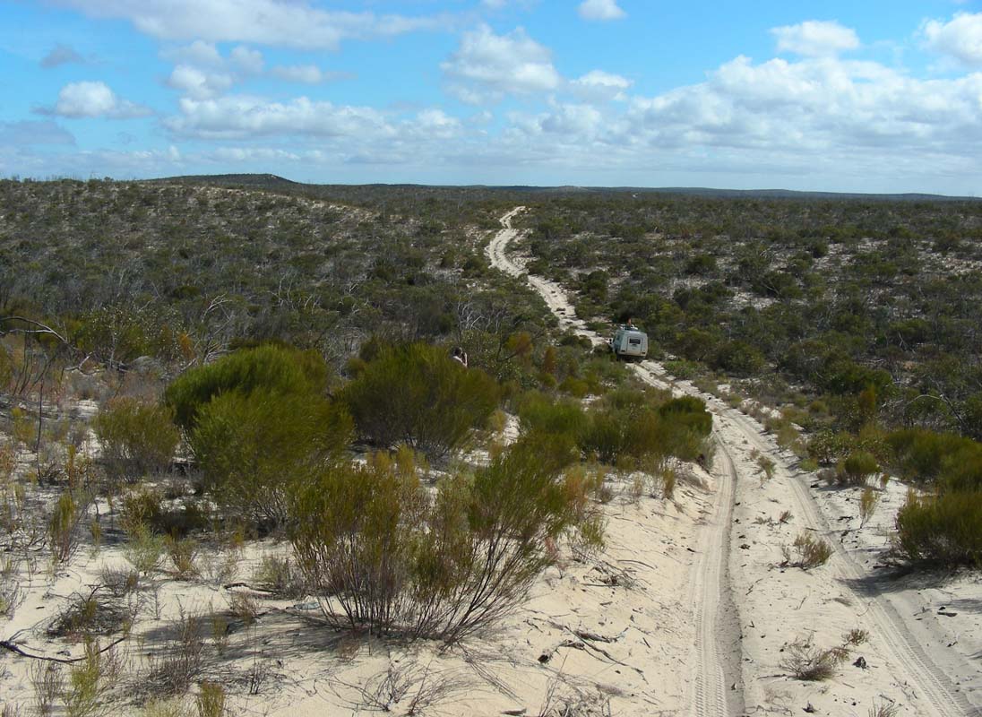
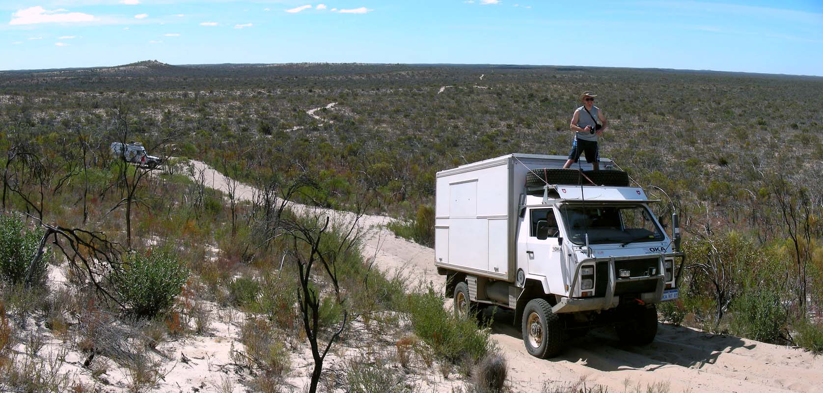
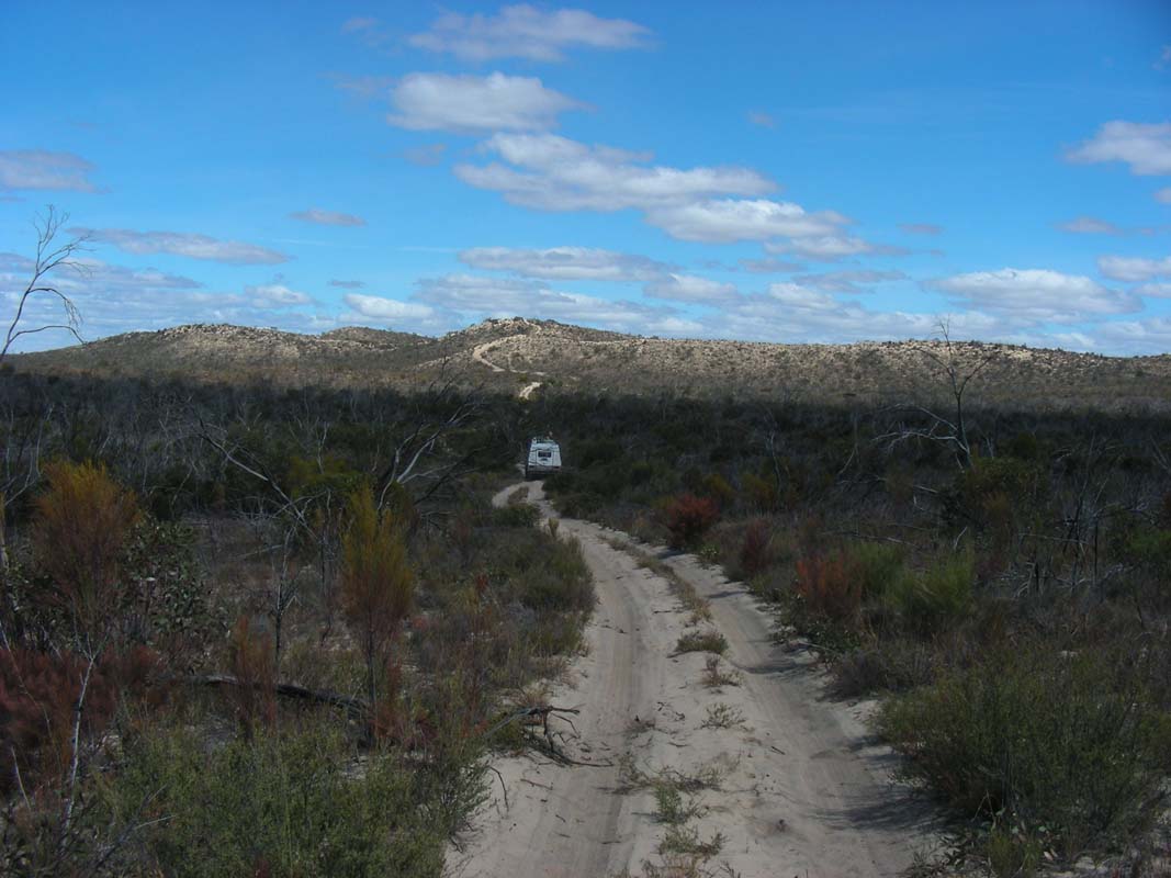
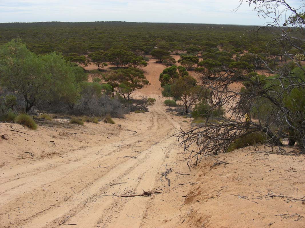
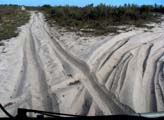
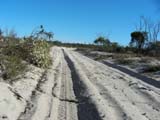
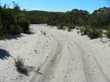
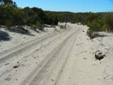
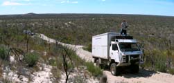
Right after the gate the track turns to soft sand.
We lower the tyre pressure and manage the tracks quite well.
Even a 270° turn causes no further problems.
We head north through the arid place.
It is very dry but one can see that if it rains here the
track quickly turns to a mud-bath.
In certain areas deep ruts show evidence that other people
have had some problems here before.
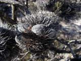
We don't spot too many animals except an echidna is busy
digging around at the side of the track.
But before we can get the cameras ready the echidna digs
itself into an ant's hill and can not be disturbed anymore
.... "McDonalds"
echidna style ...
We reach the Ackle Bend Camp and set up
for the night.
Simon benchmarks his setting-up-of-the-tent: 7:40 minutes.
Let's see if he will be able to manage any better ....
On Friday, March 20, there is not a single cloud on the
sky.
It is a bit fresh with 11°C but after yesterday's 32.5°C
the cool nights guarantee a good night's sleep.
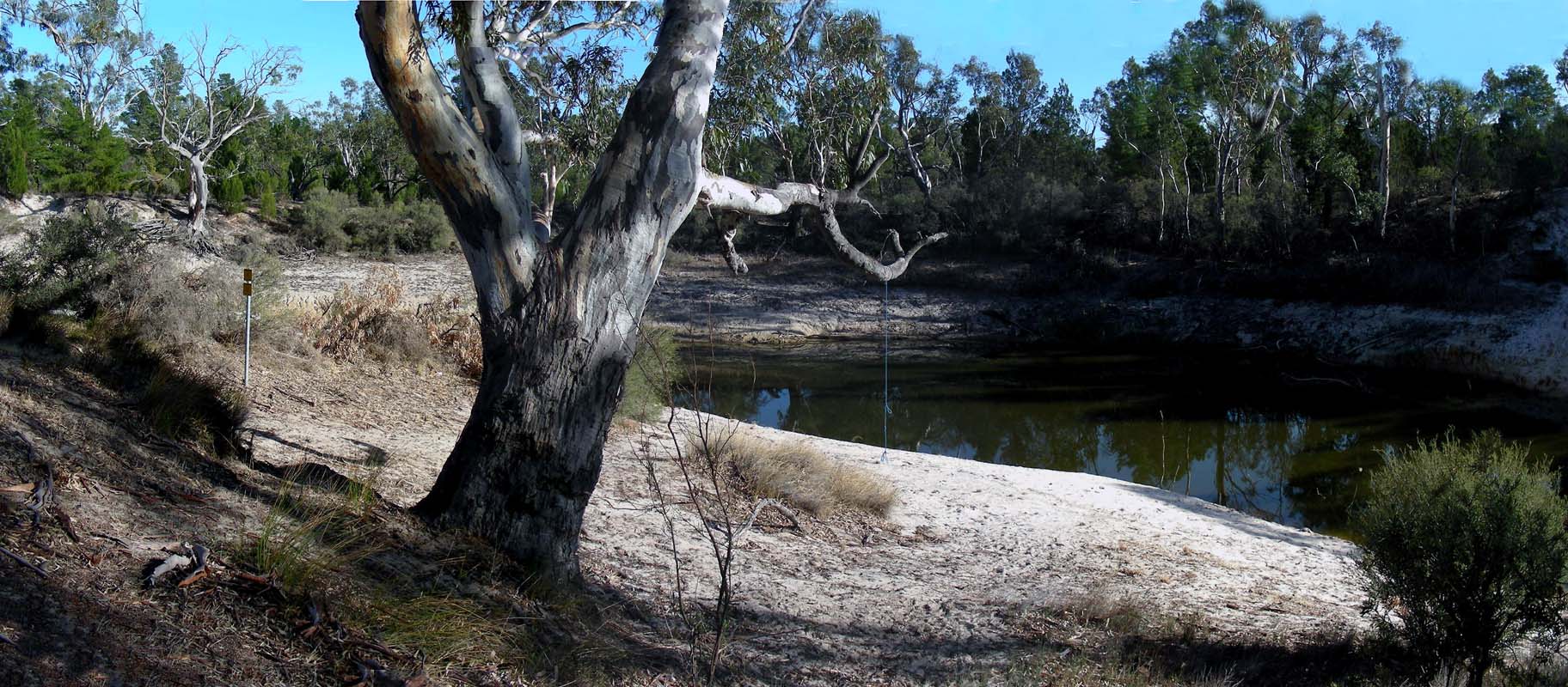
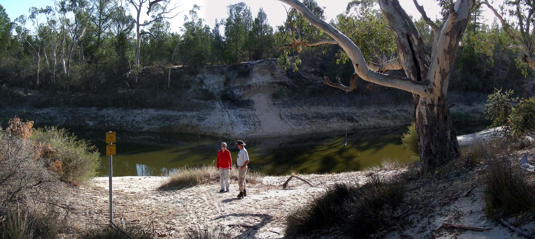
We visit the Horseshoe Bend.
There is only a bit water left in the river bed, a rope on
the Eucalyptus indicating that the water levels usually
are a fair bit higher ....
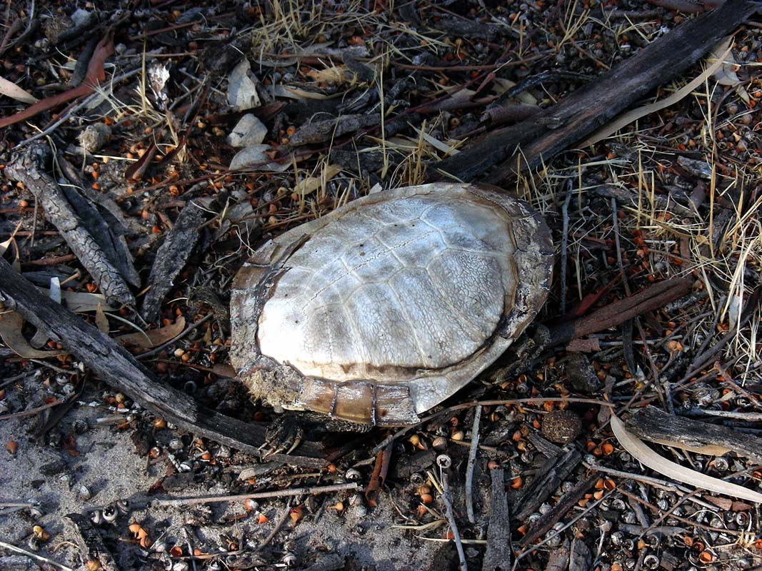
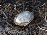
We also find the empty shell of a tortoise ...
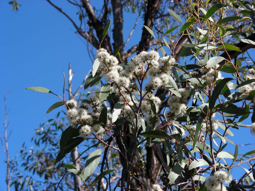
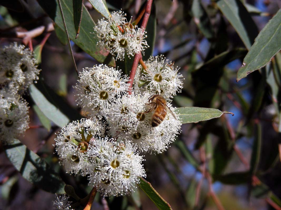
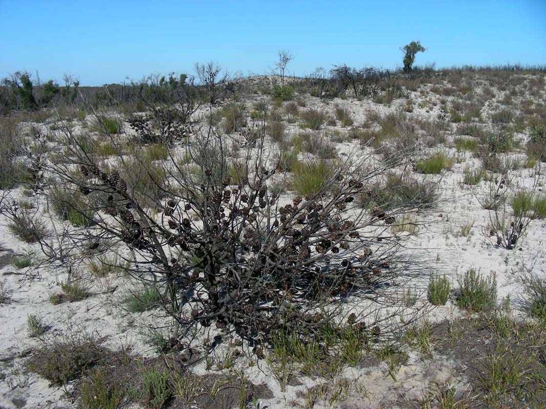
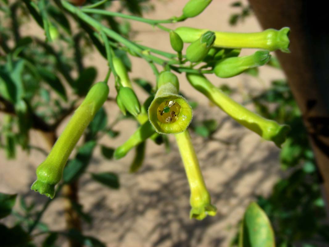
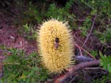
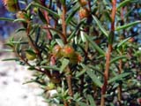
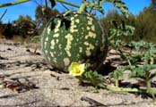
We continue on to the Pomponderoo Hill walk.
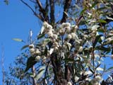
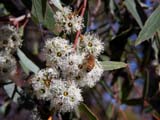
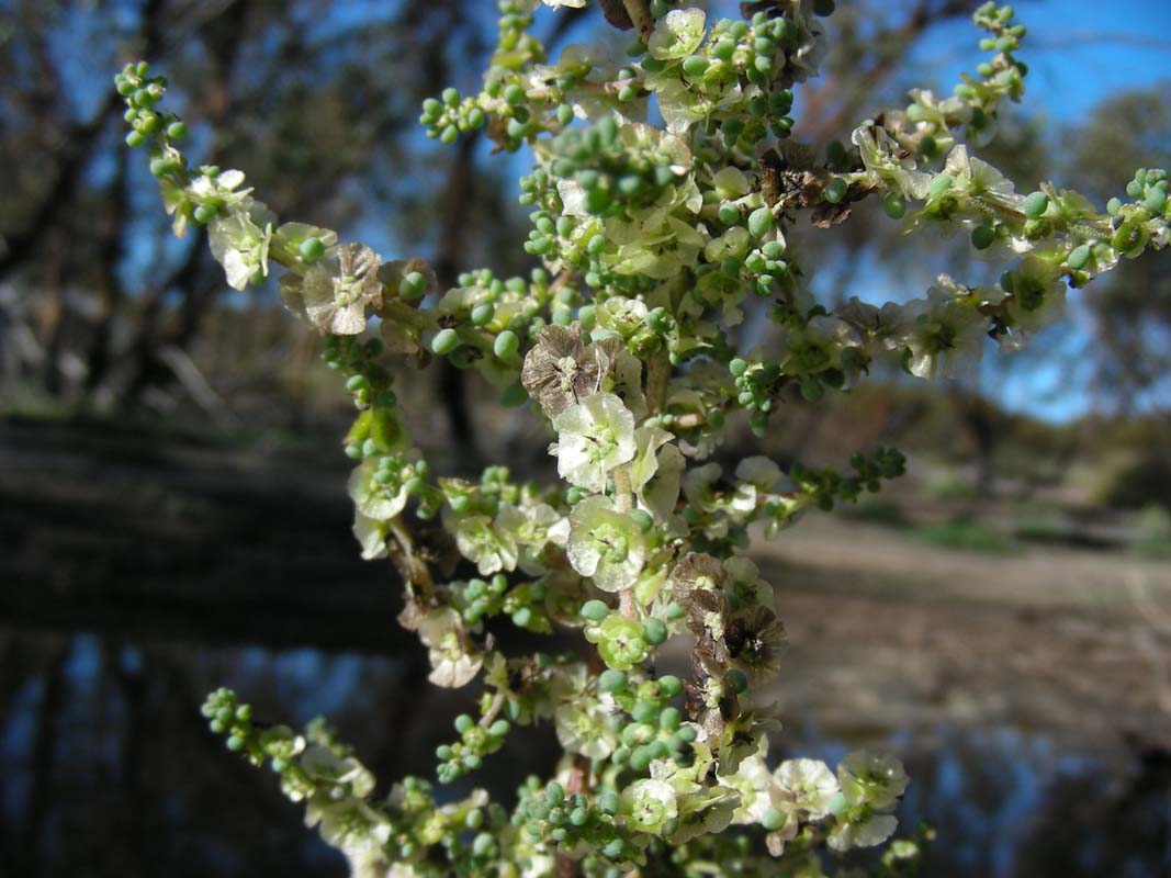
Besides the blooming Eucalyptus, where the bees are busily
collecting honey from, we can only find one more flowering
bush.
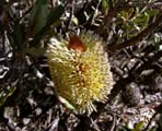


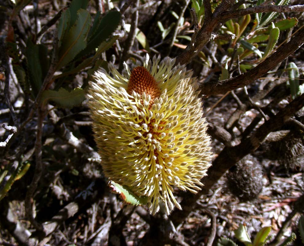
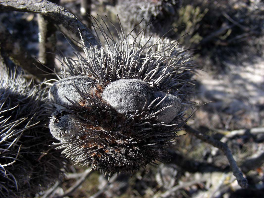
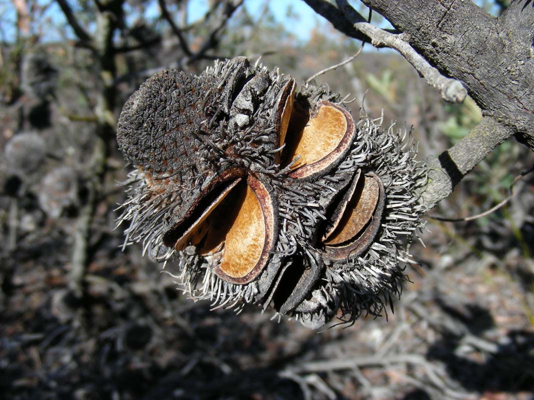
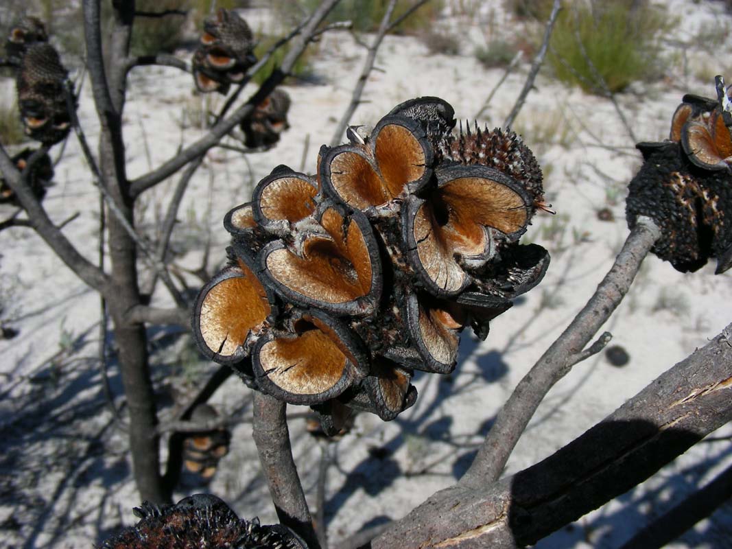
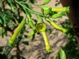
The Desert Banksias display the full life-cycle: flower,
seed capsule and open seed capsule where the seed have already
been dropped to the ground for propagation ....
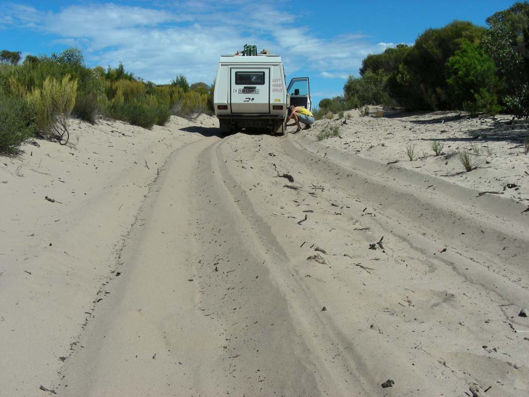
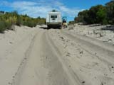
We head back into the sandy tracks; the soft sections get
more and more frequent.
Peter, Heidi and Simon in their Toyota go ahead to assess
the situation giving Ruedi details on the tracks condition
on the UHF radio.
The Toyota carries one extra person and some extra provisions
and now also reaches its limits every so often.
We decide to additionally lower the pressure of the tyres
by 5 PSI to 30 PSI at the front and 38 PSI at the back which
widens the OKA's footprint by some 2 - 3 cm.
We tackle the Eagle Swamp Track.


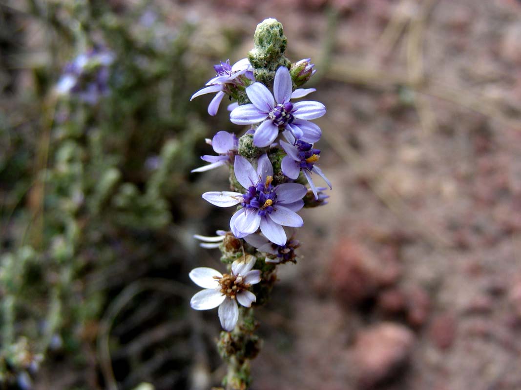
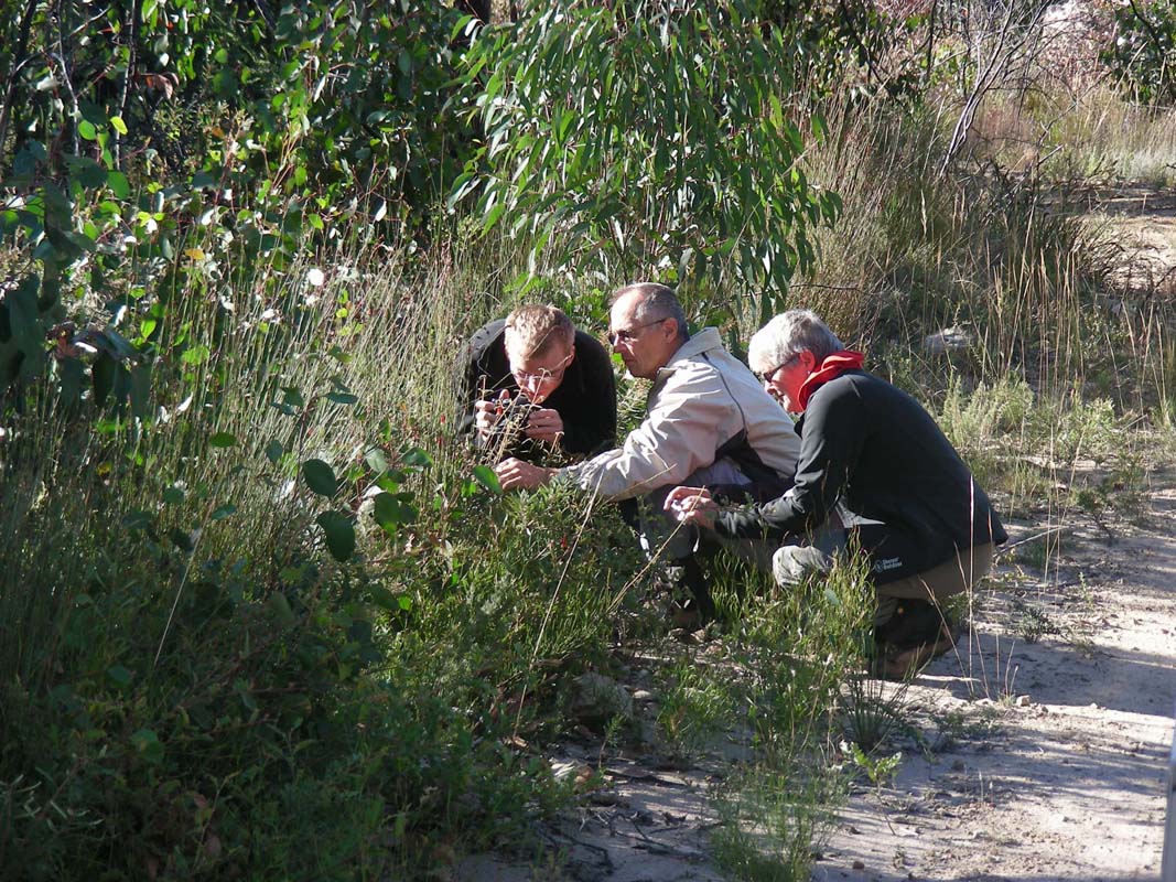
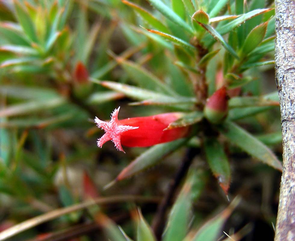
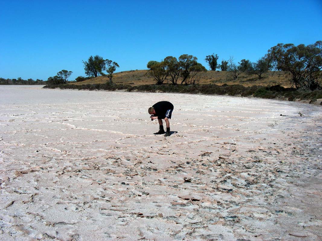
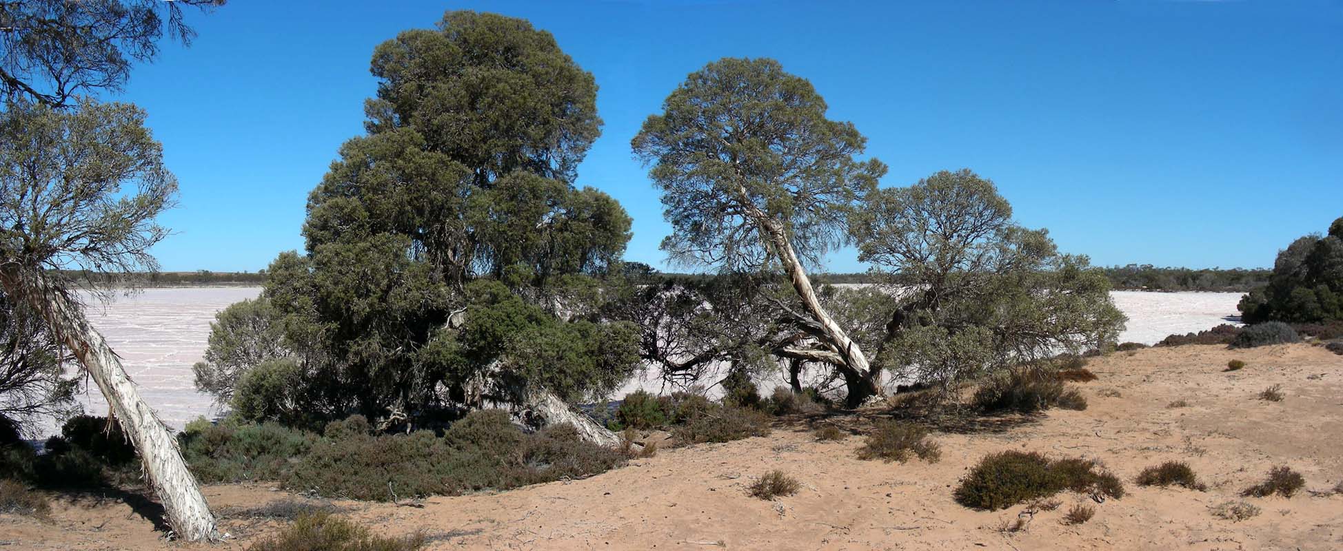
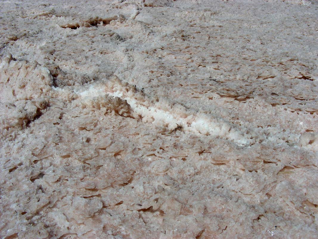
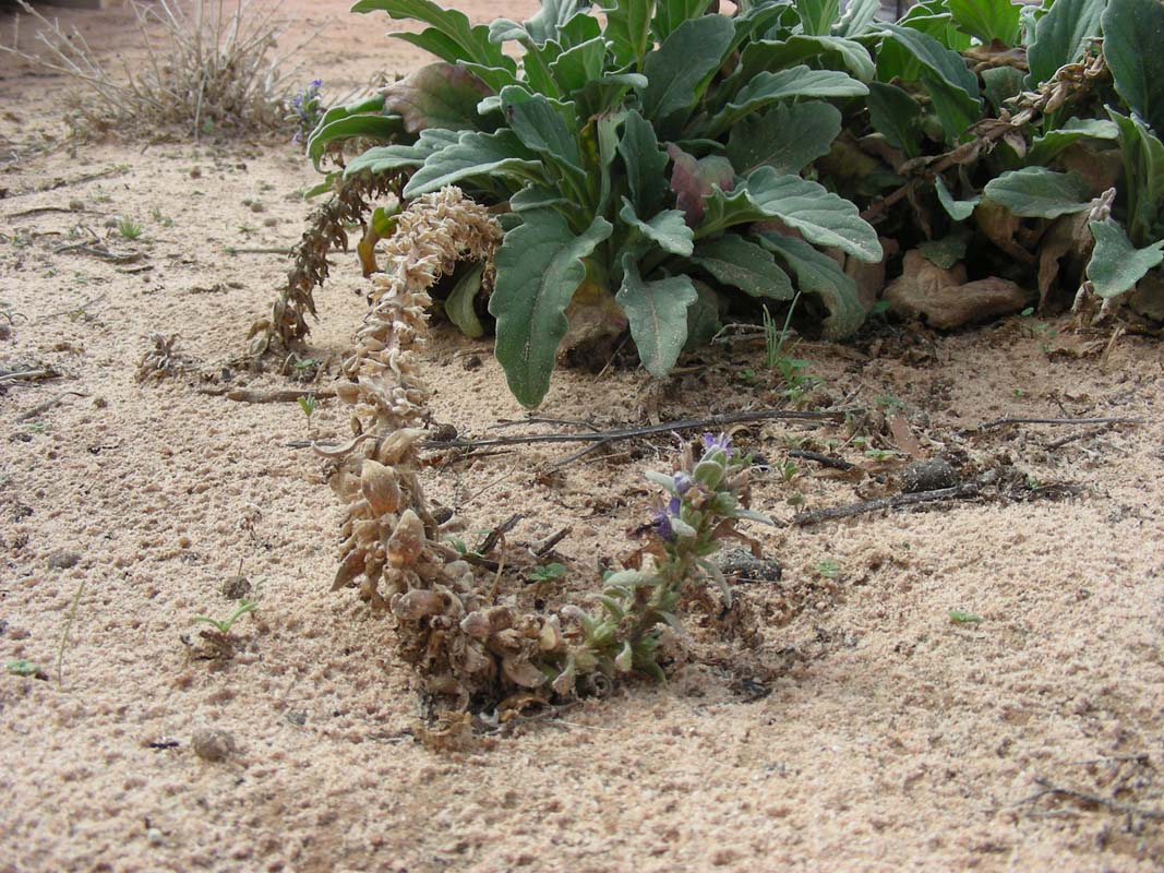
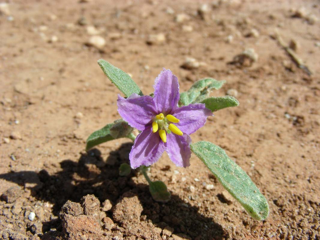
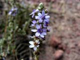
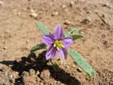
We stop at a small salt lake and Susi finds some interesting
flowers .....
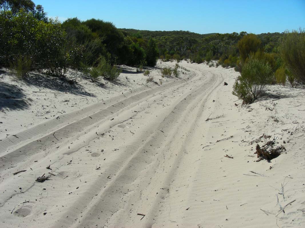
We turn into Hut Track and the sand gets
even softer but the OKA manages without any problems.
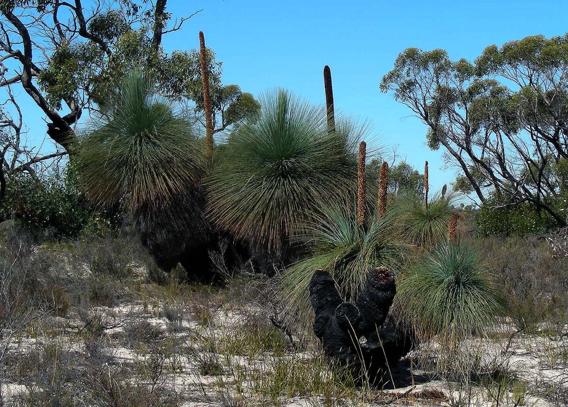
Later on we turn into the Mallee Track.
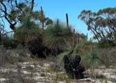
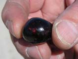
Some nice grass trees grow in this area.
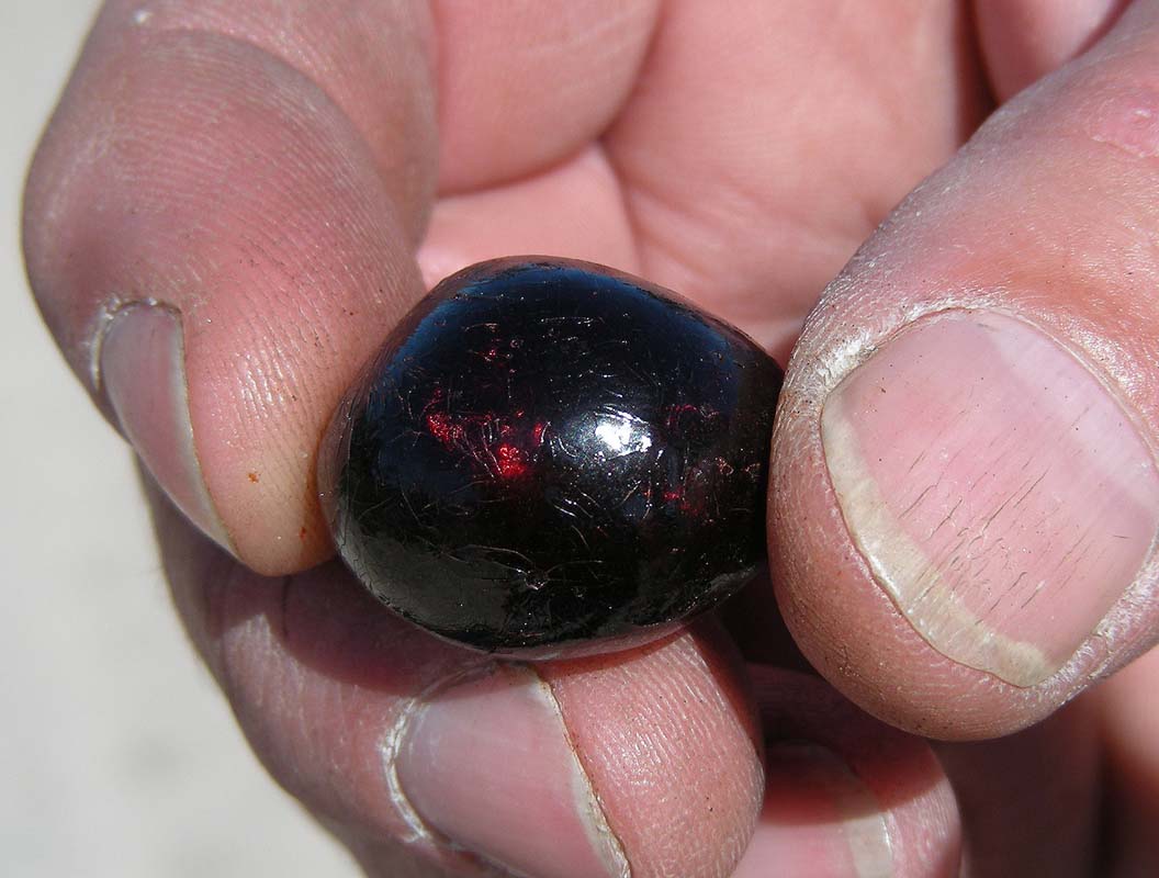
Ruedi finds some resin that glows like a ruby when the sunlight
reflects in it.
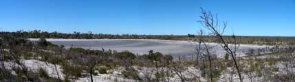
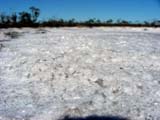
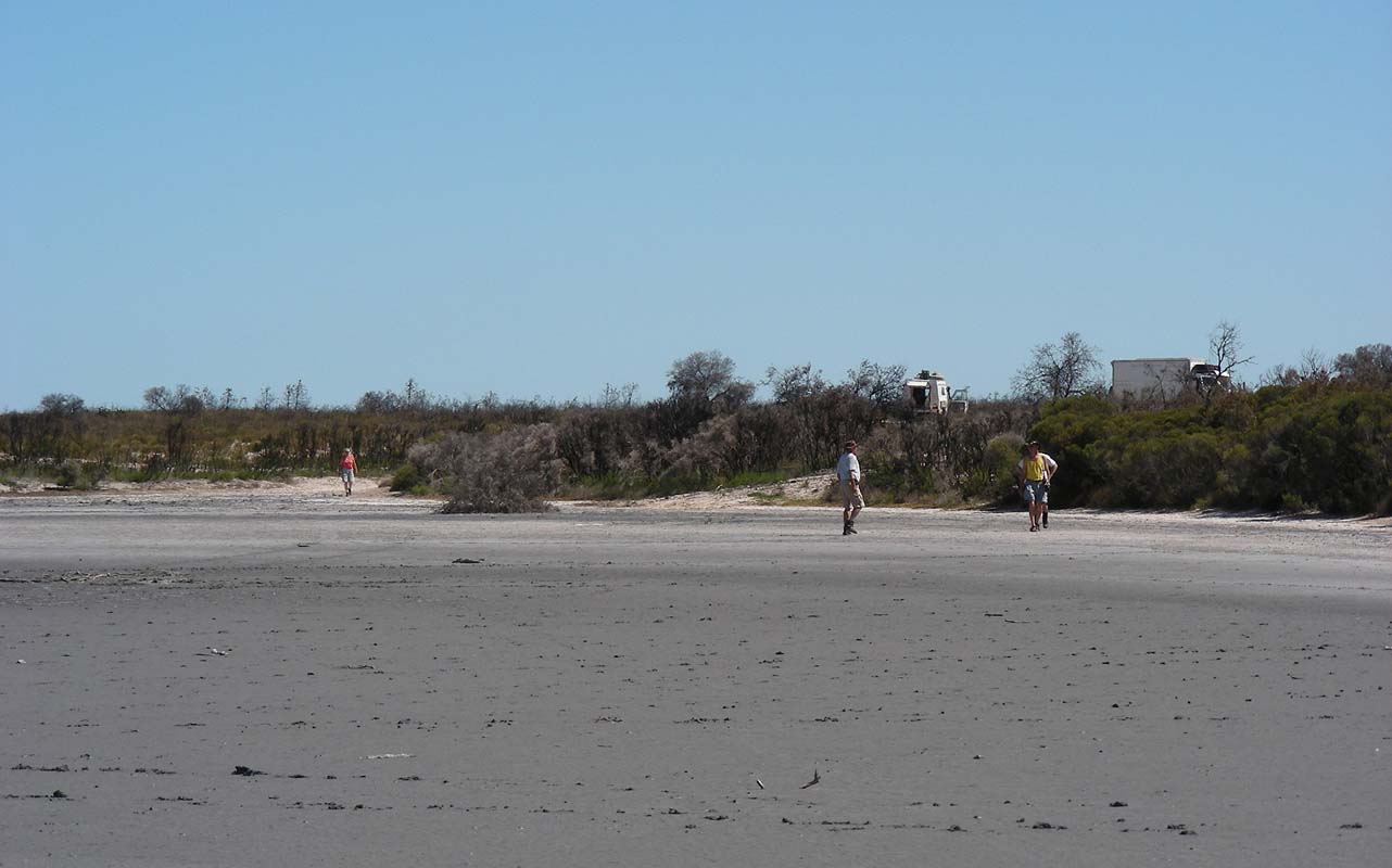
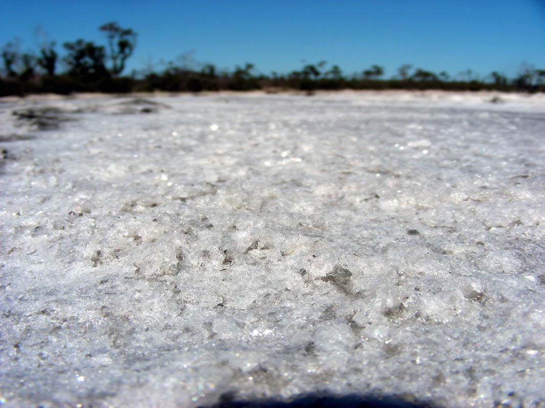
We stop at Salt Lake for lunch.
The lake must have received water and is still drying up.
The salt crystals "re-growing" on it are quite
a sight.

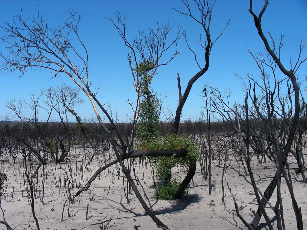
Then we head up on the Salt Lake Track and
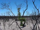
pass some freshly burned down areas.
It is interesting to watch the trees growing their "emergency
foliage" so they can get oxygen and have time to re-growth
some proper branches and foliage.
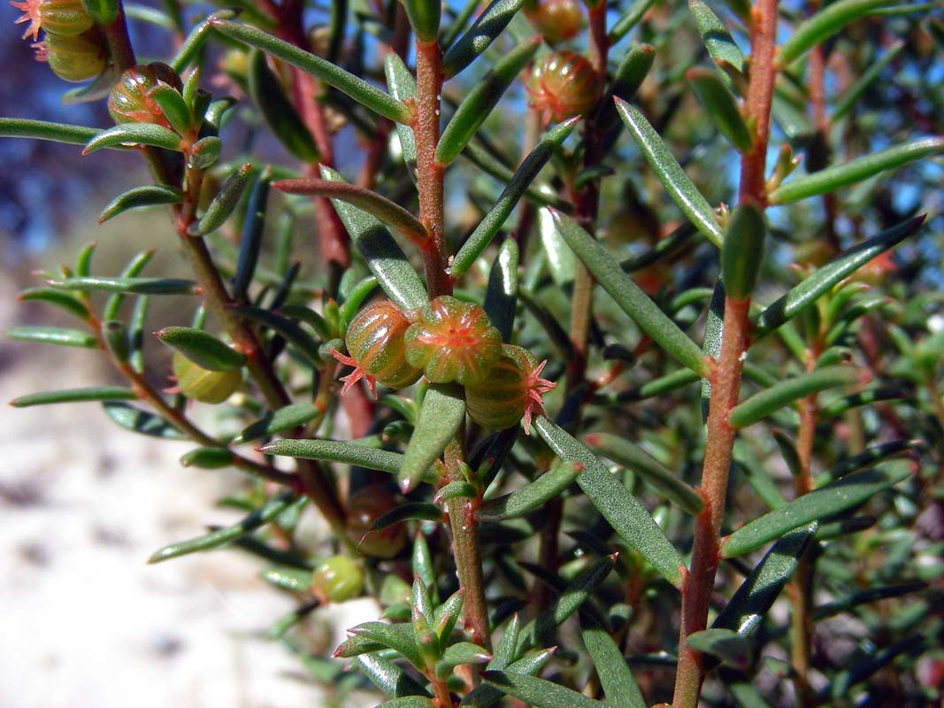
Some very pretty seed capsules are also found nearby.
Then we reach the bitumen again and pump the tyres to "bitumen" (front
65 PSI, back 80 PSI).
We turn west to visit the Sanctuary – Keith
Hateley Nature Walk.
But all we see on the walk are tracks of kangaroos that are
digging up roots and water and some fresh Echidna tracks.
It is definitely too dry or the wrong time of the year for
walks like this ....
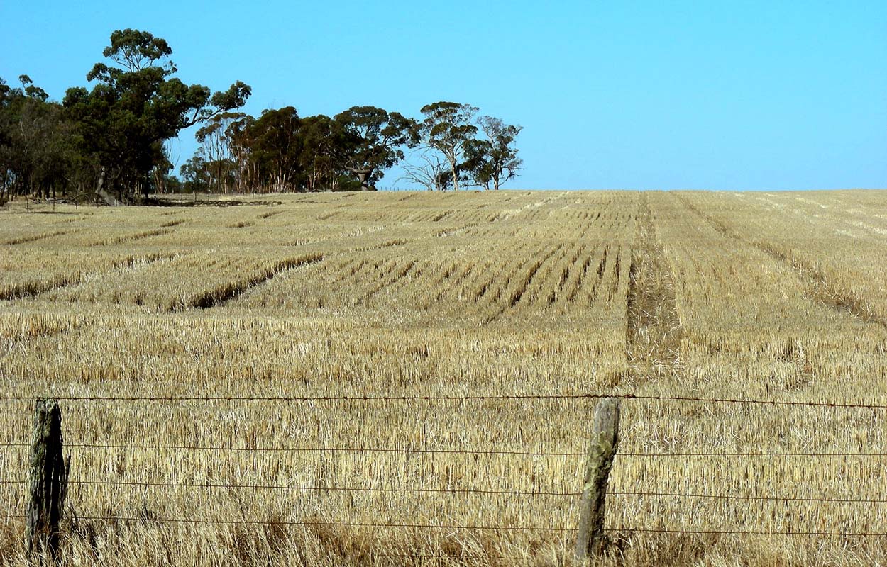
We continue on through harvested corn fields to Nhill and
from there further north to the Wyperfeld National
Park.
We pick up the "Big Desert Ramble" track leading
to the Round Swamp Camp via Chianaman's Flat that is descried
in Ron and Viv Moon's book "See Australia".
Soon we reach sand and lower the tyre pressure to 40 PSI
at the front and 50 PSI at the back.
The flies are a real pest here and we are glad that we have
the anti-fly cream with Rosemary and Cedarwood that we bought
from "Desert Dweller" in Alice Springs.
It smells good but even the Victorian flies don't like it.

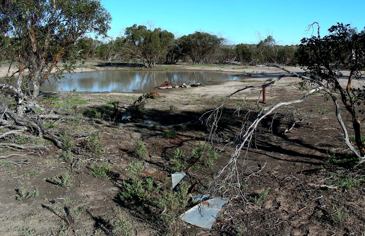
We stop at Nr. 1 Bore where we find a
waterhole and decide to stay for the night.
Here too the flies are unreal and we set up the screen dome.
As it is still 32°C we want to enjoy the evening outside
of the vehicles.
Some Ghalas visit the water hole but they are very shy.
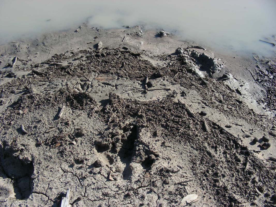
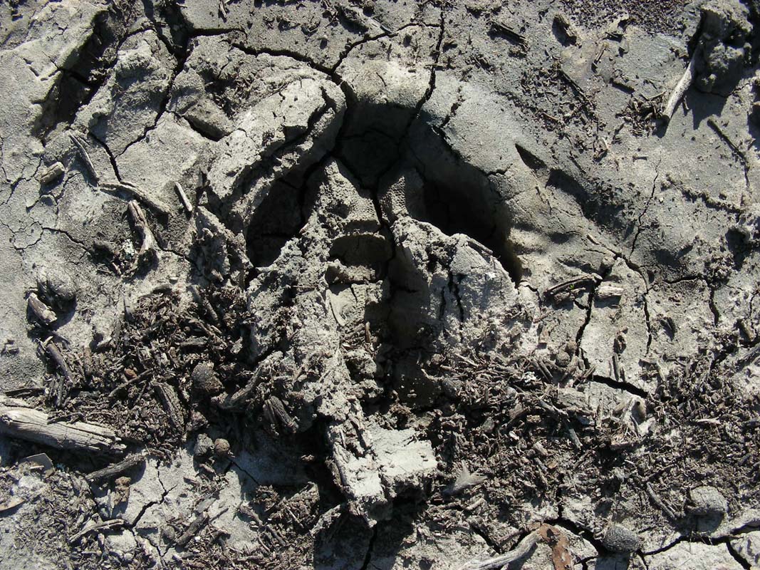
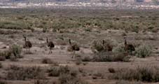
We also find some tracks of emus at the water hole.
The imprints are quite large and we wonder how large the
birds might have been that left them ...
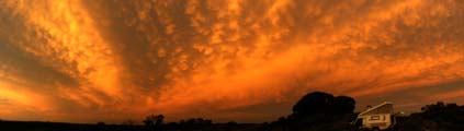
As the sun sets behind some pretty orange – pink
clouds the temperature starts dropping slowly.
We don't mind at all.
After a cool night with 9.5°C we wake up to a sunny
Saturday.
Again the Ghalas come for a drink but as soon as Simon starts
stirring in his tent even though we are away from the water
the birds flee the scene.
Soon we are off on the sandy track again.
Ruedi has lowered the pressure on the OKA's tyres to 30 PSI
at the front and 38 PSI at the back.
Ruedi asks Simon of he feels like driving the OKA a bit
....
What a question!

So Susi hops in with Peter and Heidi, Ruedi becomes co-driver
and Simon gets into the driver's seat of the OKA.
After a bit of an introduction he drives the OKA over the
sandy track with no issues.
The track follows the harvested fields for a few km then
turns into the National Park.
In the guide book it says that now "the wilderness of
the Wyperfeld National Park" starts.
No kidding!
It does not take long and we reach an uphill section with
an S-bend in it and very soft sand.
Peter has a problem with getting through, tries a few times
but then is forced to lower his tyre pressure to be able
to manage the section.
Ruedi decides to drive this part himself as we don't really
fancy shovelling in this heat.
But first he lowers the pressure in the OKA's tyres to "sand" (27
PSI at the front and 34 PSI at the back).
It is the first time that we drive the Michelin tyres with
such a low pressure, but it is their recommendation
for sand.
The difference is astounding; the OKA drives over the tricky
part without any problems at all.
3 vehicles pass us .... this is close to a traffic jam!
We haven't seen that many cars on a dirt track since we left
the Great Ocean Road, not even in the Grampians.

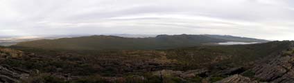
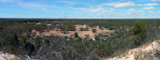
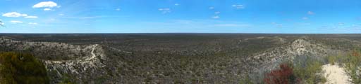
We continue on the track until we reach a lookout.
It offers some nice views over the sand dunes.
But it is hot, the temperature has reached 37°C, and
the flies are even worse than yesterday.
They are so bad that Heidi, Peter and Simon join us in the
OKA (inside the fly-screens!!!) for lunch.
The track gets softer and softer.
On steeper sections Peter has to try a few times until he
gets over it.
He does not want to lover his tyre pressure any more as otherwise
he is restricted to 20 km/h.
So it is a bit "try-and-error" until he finds
the correct line.
Ruedi is theoretically also restricted to 20 km/h with
his tyre pressure but he does not take it that serious.
If needed he gathers speed before tackling steeper sections
and therefore has no issues with them.
But the tyres get rather hot .....
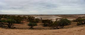
We reach the Round Swamp.
The waterhole is dry and has been covered with a grid.
The whole area does look rather dry, not much left of the
swamp ...

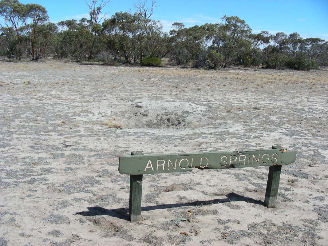
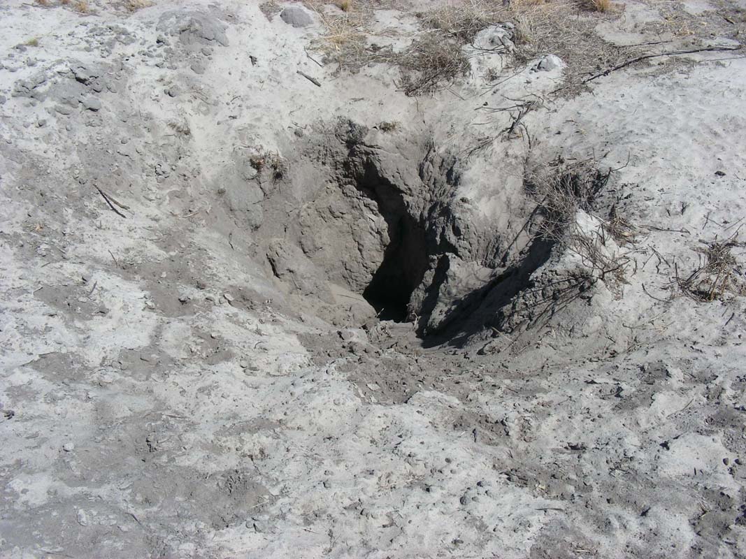
Arnold Springs isn't much better ..... we feel sorry for
the animals that live here and are digging for water without
much success ...
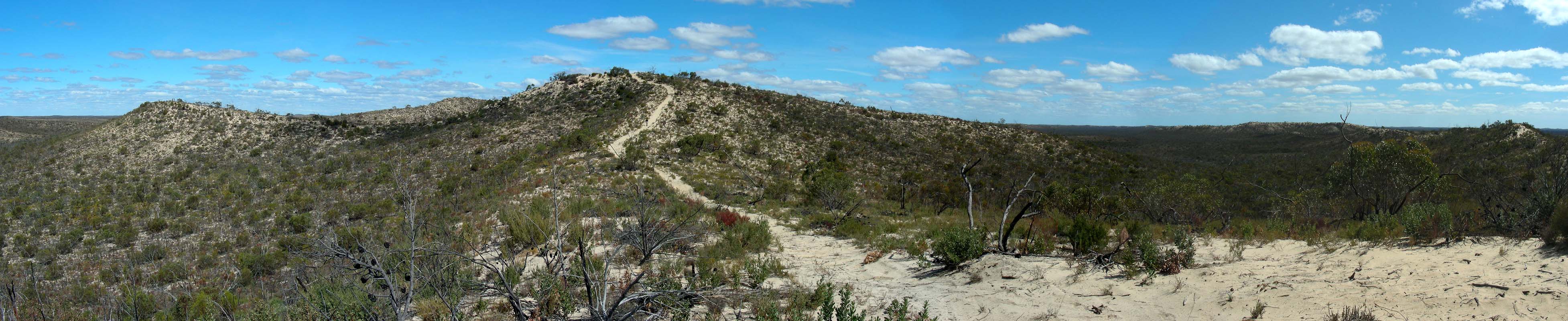
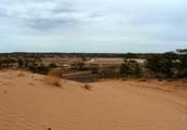
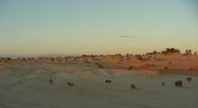
The dunes get higher and higher.
The views form some of them are nice.
Also the clouds look interesting.
It looks like a storm is gathering ....
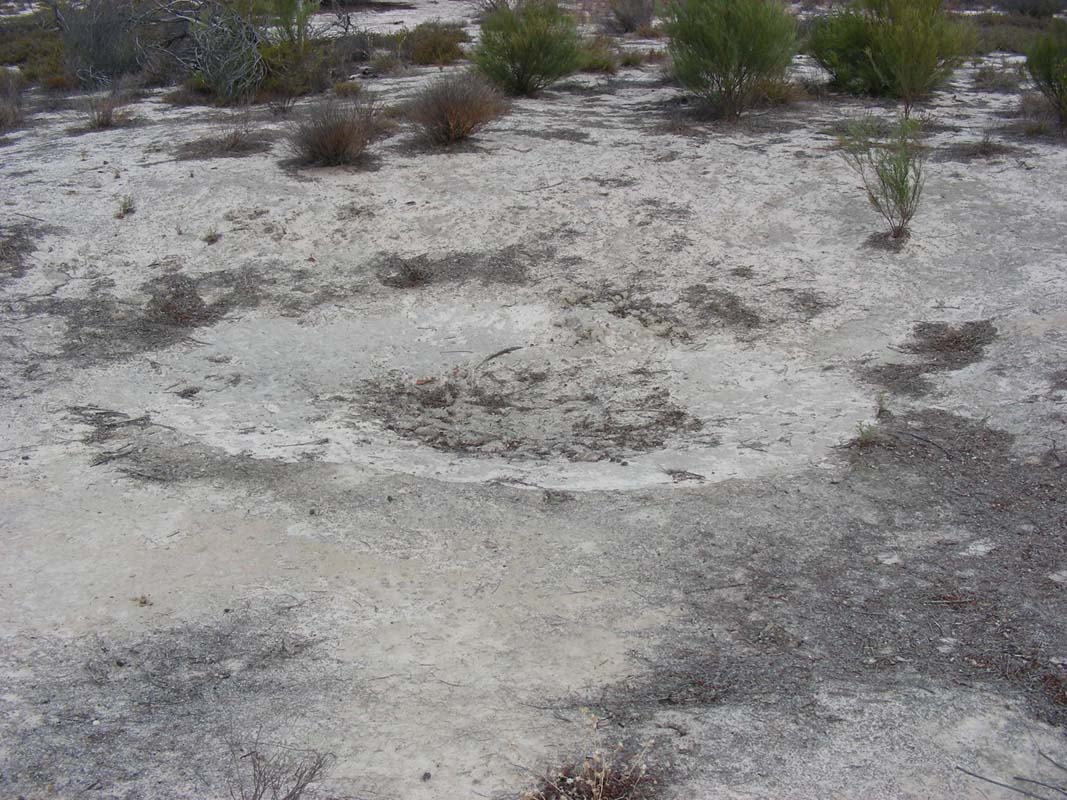
Milmed Swamp is dry too but at least there
are a few bits and pieces of humid soil left.
Salmon Gums grow here and it looks almost like the Holland
Track in Western Australia.
We tackle the next few sand dunes.
The wind picks up and changes from west to north.
By now the temperature has reached 38°C and on feels
like sitting in a fan-forced oven.
But it is also very dry, the hygrometer shows 30% and the
lips dry out rather quickly.
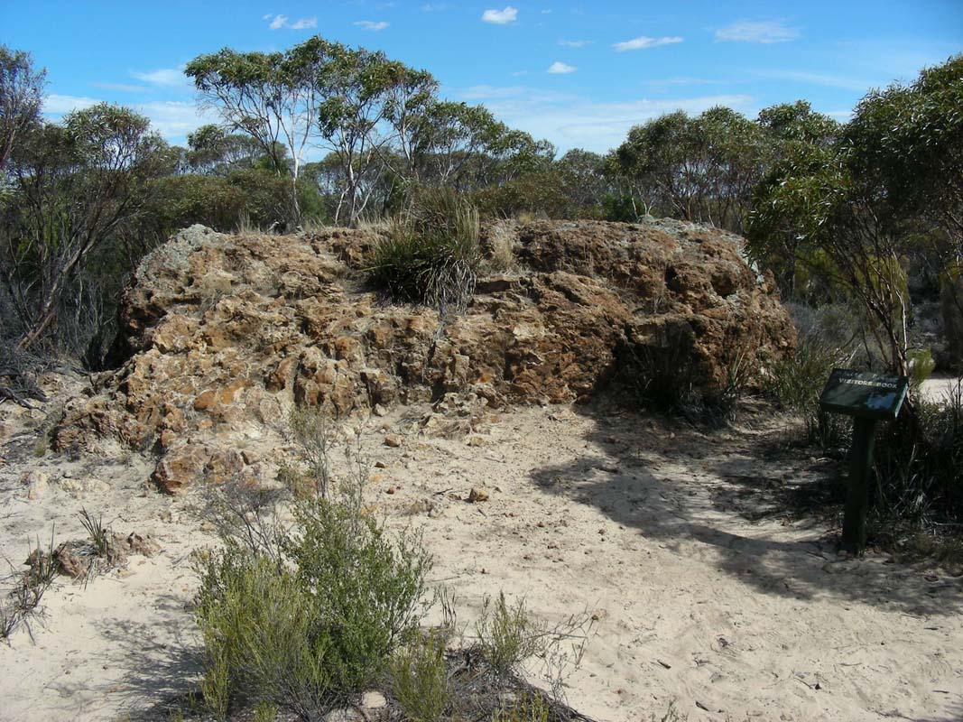
Next stop is Milmed Rock, the largest
rock in the National Park.
Then we reach Pigeon Springs which is dry
too.
We decide to stay for the night.
First Heidi then Ruedi start digging for water in a dip.
Then Simon tries his luck but at the end all they find is
the rusty pipe of the old bore.
But the sand they dig up must contain just that wee bit of
moisture more than the surrounding sand; the flies are instantly
present and crawl all over it.
The ground is hard, it is hard work and it is hot too .....
so we give up ... no soak today, a shower will have to do!
Today the screen dome is worth its weight in gold.
Without it being outside would be a real pain.
During dinner we watch the clouds getting closer and closer.
But the water that falls out of them does not reach the ground;
all we can feel is a very light drizzle
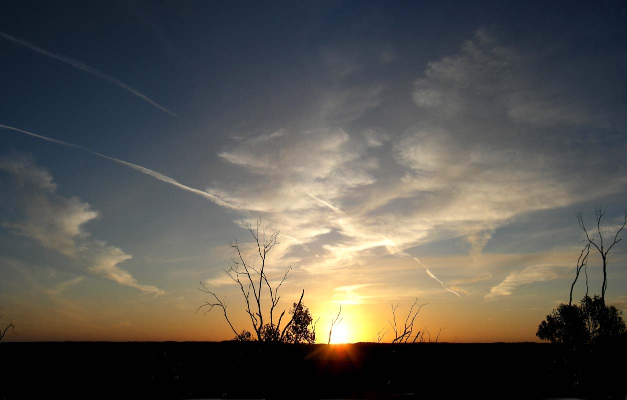
But the clouds generate a colourful and long-lasting sunset.
The wind dies down and just the odd gust helps to keep
the temperature more or less comfortable; at 10 PM we still
have just over 30°C .....
Then a few drops fall.
With all the windows open this generates a bit of hectic
in both vehicles.
But the hectic is in vain .... no more drops fall.
Luckily during the night the temperatures fall to 17°C
and when the wind picks up again we even have to close some
windows and rug up a bit ....
On Sunday morning the sky is overcast.
Today Simon will be driving the Toyota.
Luckily the humidity has risen a fair bit and the sand is
not as dry and soft as it was yesterday.


We continue on towards the northern end of the National
Park, first in westerly direction through the sand and then
in northerly direction on the Murrayville Track,
a well-formed dirt track.
Then we turn towards the east and into Brushcutters
Track which is rather narrow and a bit overgrown.
As we cross another of the many dunes we see a dust cloud
ahead of us.
We change the UHF radio to Open Scan to be able to hear all
radio conversations in the near vicinity and soon pick up
some talking on channel 27.
Susi announces our two vehicles to the other group and gives
them our position and the direction of travel to ensure that
we don't find each other on the tip of a dune at the same
time but from two opposing directions ....
The group lets us know that they are on the same track but
some 5 km ahead of us so there is no danger.
As we continue on we hear the other group reaching White
Springs and can follow their intentions of reaching the lookout.
Apparently it is rather steep and there is a dog-leg almost
at the top making it rather difficult to manage it.
When we reach White Springs we can see
them trying and trying again.
Three of them manage ... but the second only with help of
the first one ...
It's good fun watching them while we have lunch.
Then we head down to have a closer look.
But the group has decided that the track is too chewed up
and no further vehicles will manage now.
So the ones on the top get ready to come down again.
It looks quite dramatic as it is really steep.

We walk up and find some nice views of the surrounding
dunes.

The area where the spring is must have different soil as
here some grass and also some pines grow.
Amazing how quickly the vegetation can change out here.
Then we continue on the White Springs Track in
easterly direction.
We deviate into Big Dune Track to have
a look at the big dunes.

Simon wants to take pictures of the Clarence Ranges and
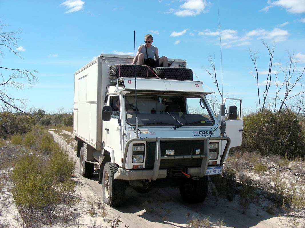
gets on top of the OKA.
He decides to stay there for the rest of the way.
Every so often he has to duck almost into the tyres so he
is not swept away by the low lying branches at the side of
the track but he recons it is good fun.
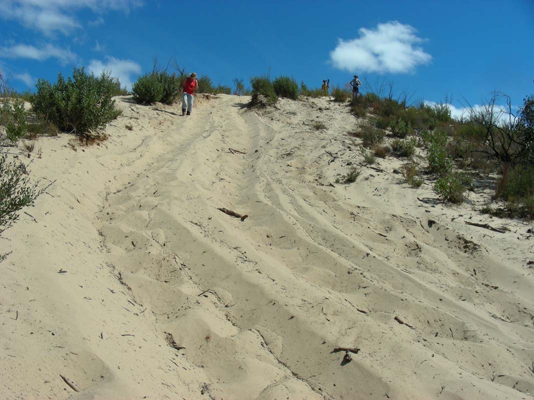
Then we decide to be a bit sporty and walk up to the top
of the dune.

It is rather steep ....
... but the views are well worth the effort.
The vastness of the country can be felt from up there.
Then we head west on Delisio Track until
we reach the Murrayville Track again where we head north.
Shortly after we reach Sim Perry's hand pump,
but it does not work anymore, so no filling up of water tanks
here ....
Just a few meters further north we deviate into the Cactus
Bore Track and head west.
The dunes get higher and the sand softer.
As Ruedi checked the tyre pressure this morning when the
tyres where cold we now have a bit more pressure than yesterday
and on one dune we actually have to reverse and try a second
time with a bit more momentum.

Then we reach Cactus Bore where we want
to stay for the night.
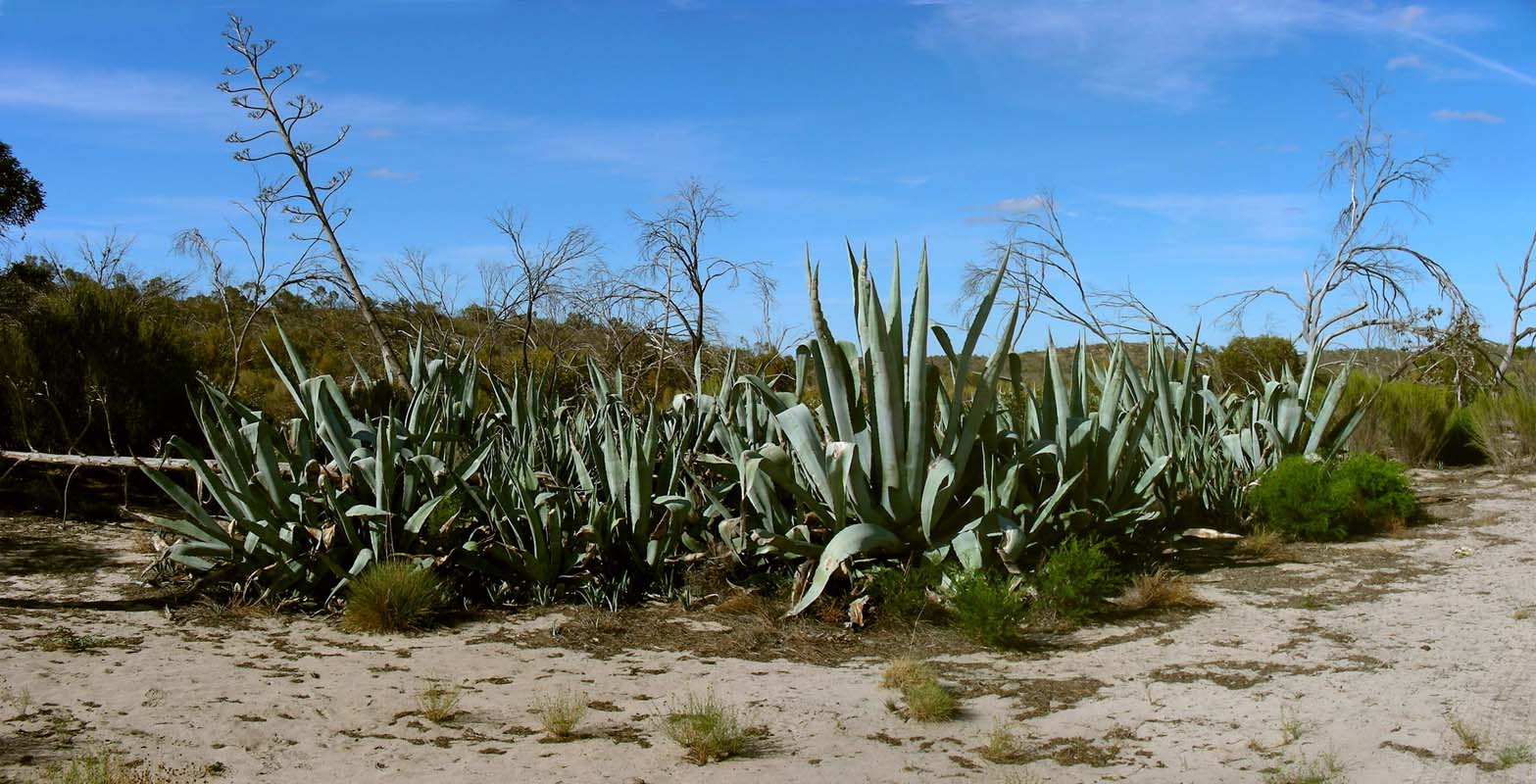
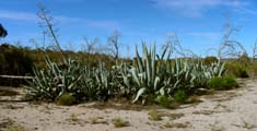
Some large Aloe Vera cacti and an old bore are still there.
Some very distinctive signs of past civilization are visible:
Paddy Melons and also some very nasty prickly weeds grow
here.

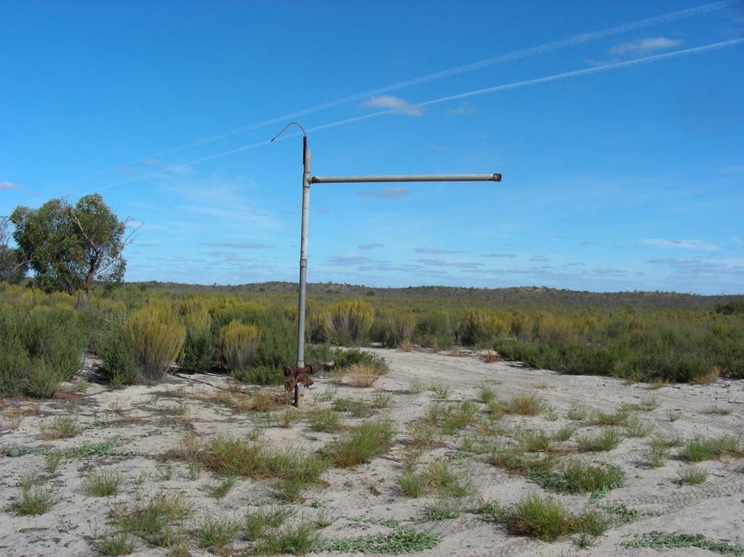
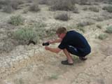
Ruedi inspects the remains of the bore and come to the
conclusion that
a) this must have been a windmill
b) he cannot fix it ....
Simon tries another record in setting up his tent ... 7
minutes and 30 second is the goal by now!
Heidi and Ruedi give him a bit of hand with the preparations
.... removing prickly weeds ... lying out the pegs and the
hammer into position ...
And off he goes!
After 6 minutes and 2 seconds the tent is up.
But when Simon scrutinises his own work he detects that the
outer tent is not mounted correctly and would not withstand
a QA inspection.....
The time is noted but with penalty points; the challenge
will have to be repeated.

As the sun sets it looks quite nice with the clouds.
Then the wind starts and the temperature drops from 25°C
to 18°C in no time; during the night it continues dropping
down to 5.5°C ......
On Monday morning the tent is soaking wet and has to be
hung up in the sun for drying.
Once all is more or less dry and packed away we head north
on Cactus Bore Track and leave Wyperfeld National Park.
After refuelling and stocking up in Murrayville we
head east on the bitumen until we reach Linga,
where we turn north into Pink Lake Road and
the Murray – Sunset National Park.
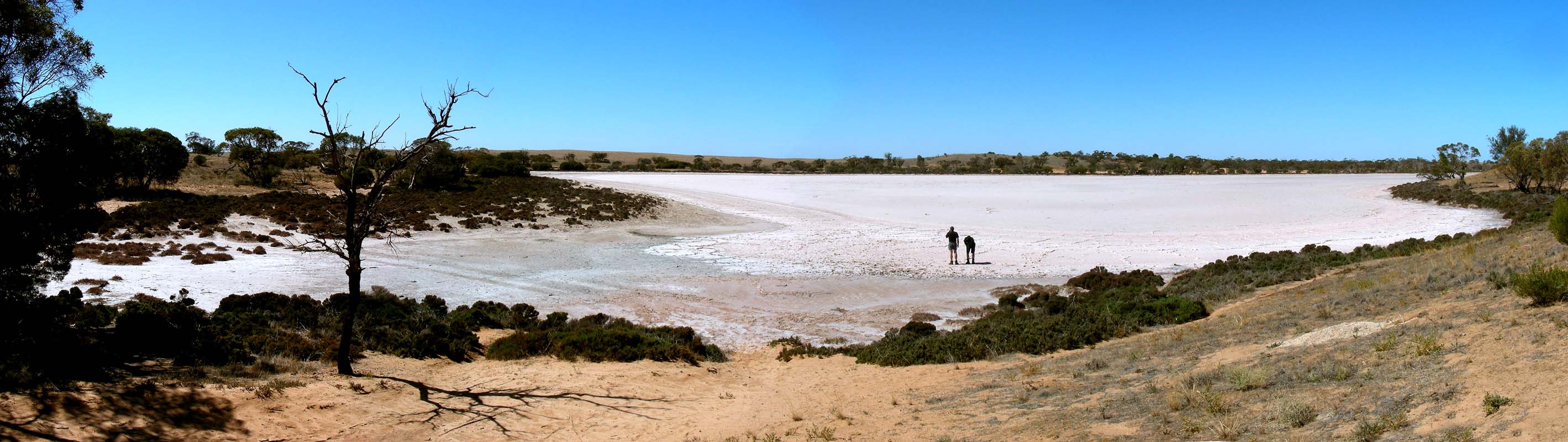
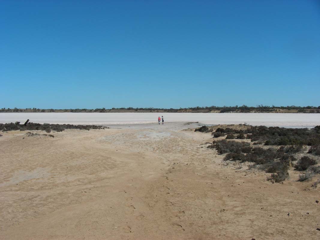
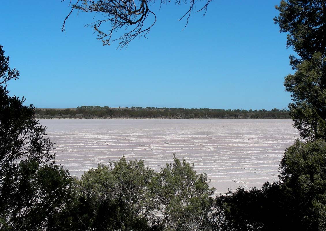
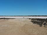
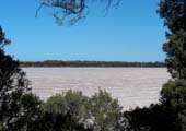
First stop is at Lake Hardy, according
to the guide book the prettiest of the Pink Lakes.
It is not really as pink as we expected it to be.
Maybe it is because it is neither wet nor dry.

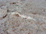
The edge of the lake is soft but the salt crust is hard
and crunches if walked on.
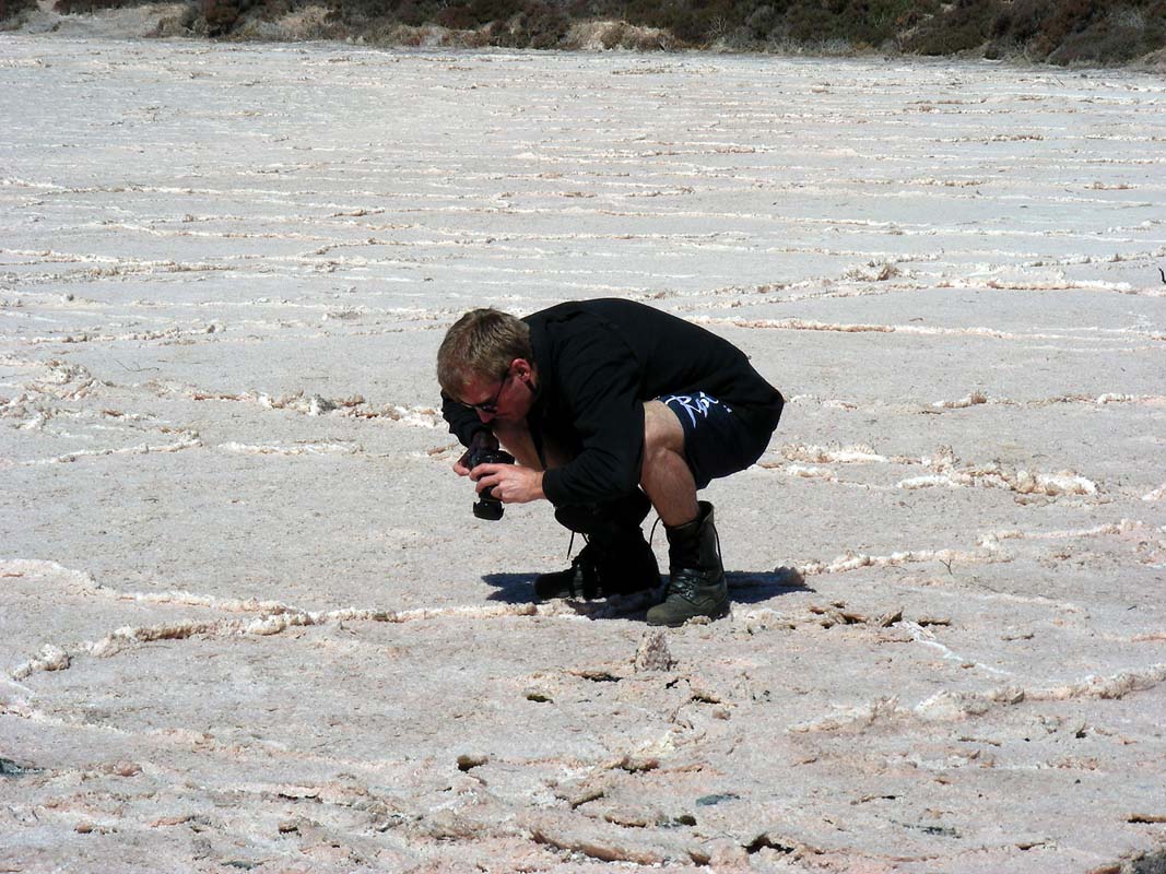
For Simon salt lakes are still very impressive and of course
some photos have to be taken.

Some information signs tell us that some of the few things
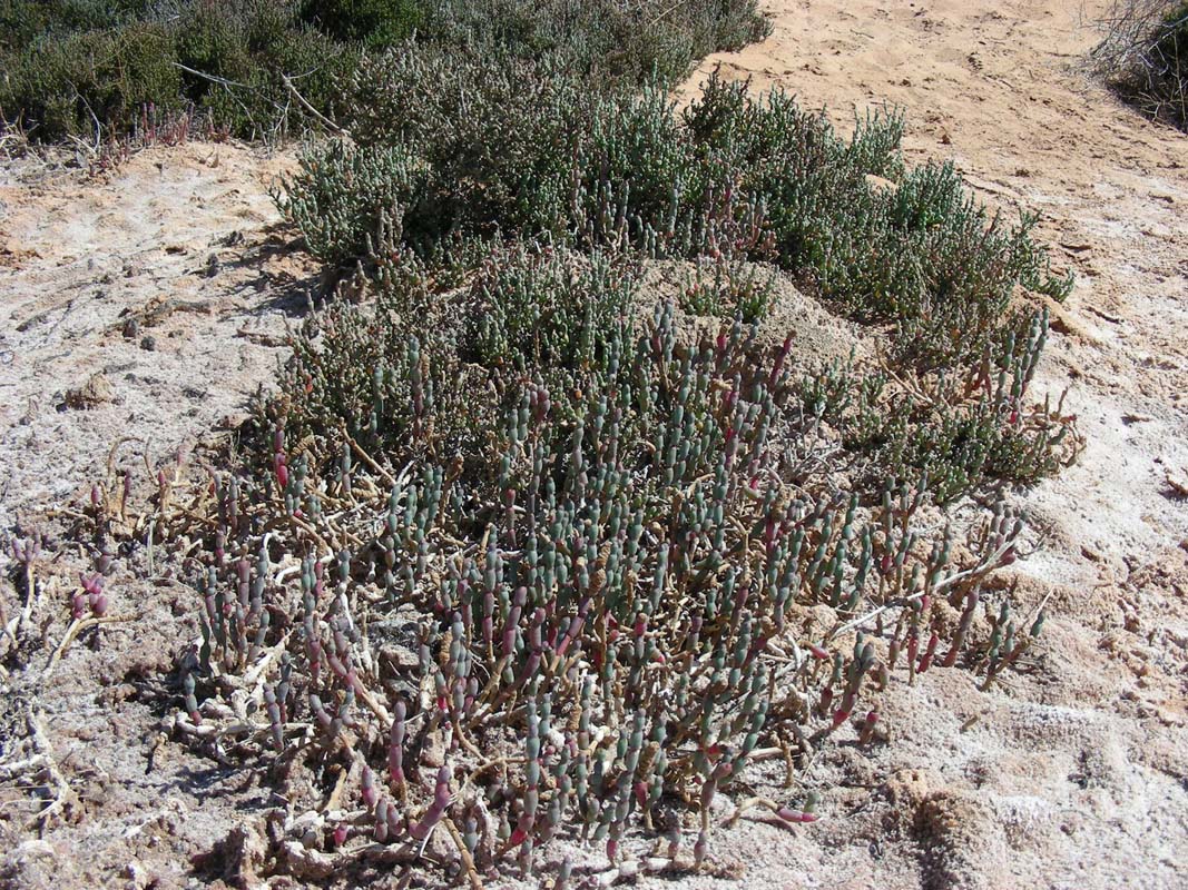
that grow on this salty plain are Grey Glasswort, Salt Paper-barks
and Porcupine Grass (looks like Spinifex to us ...).
Well, it is a wonder anything grows out here!
Next we head over to Lake
Crosbie.
Even though it is 2 PM the temperatures are at a comfortable
24.5°C, but there are many flies.
Also some bees become quite friendly as they look for drinking
water.
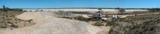
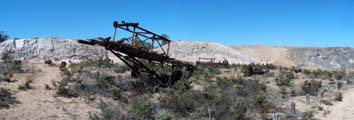
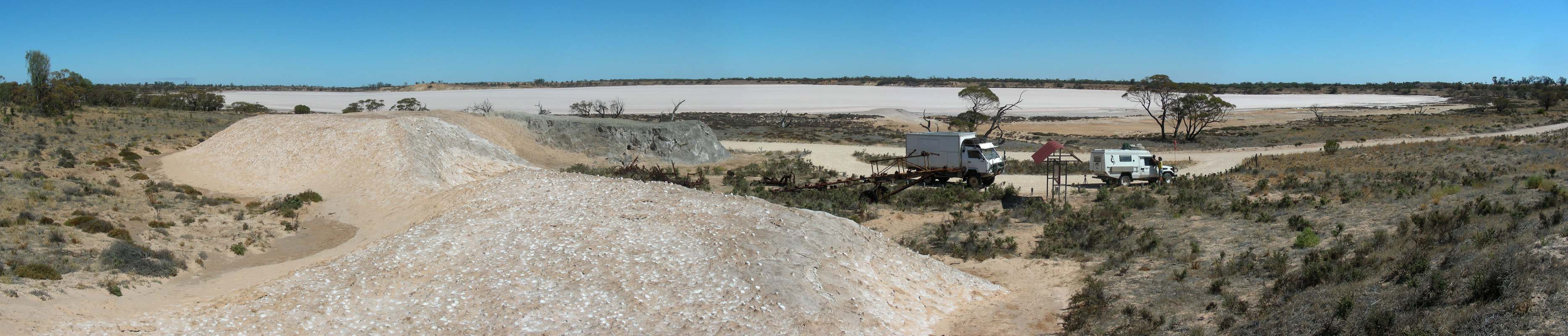
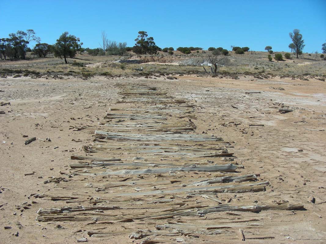
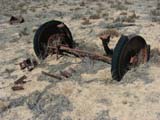
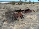
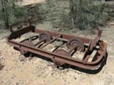
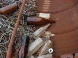
We visit the old salt works close by.
Old machinery and some salt piles are silent witnesses of
times gone by ....
For
more details on the salt lakes, why they are pink and their
history please click here.

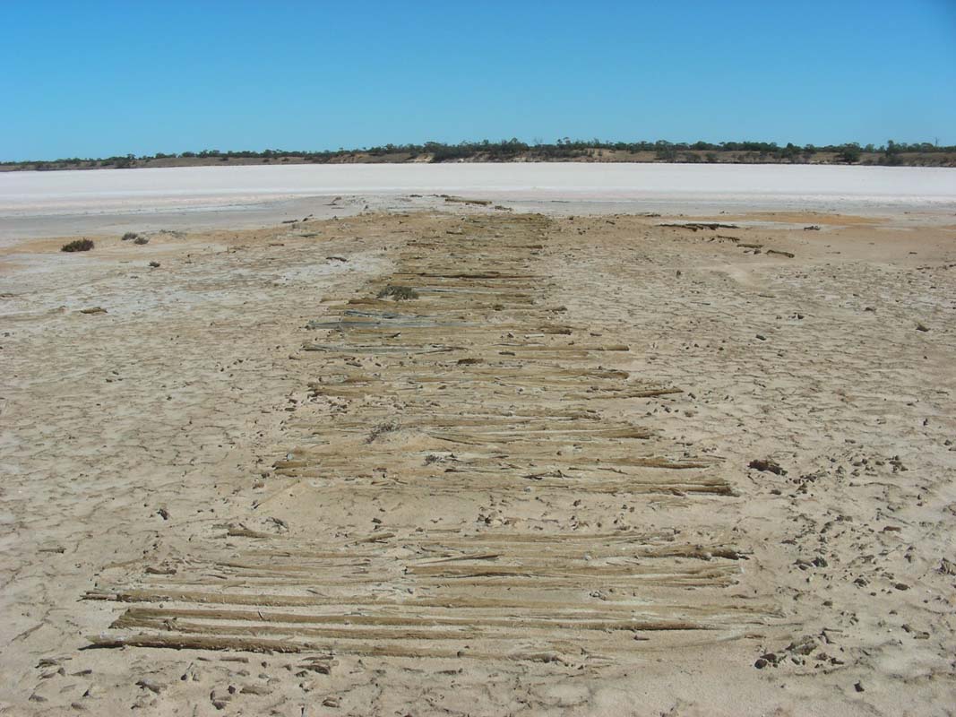
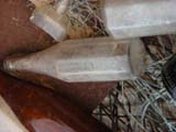
A visit down to the shores of the lake revel the remains
of the wooden "jetty" used to get the salt ashore.
Some fragments of "antiques" can also be found.

We head up to the lookout where the old town site was.
Here too some "left-overs" can be found.


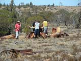

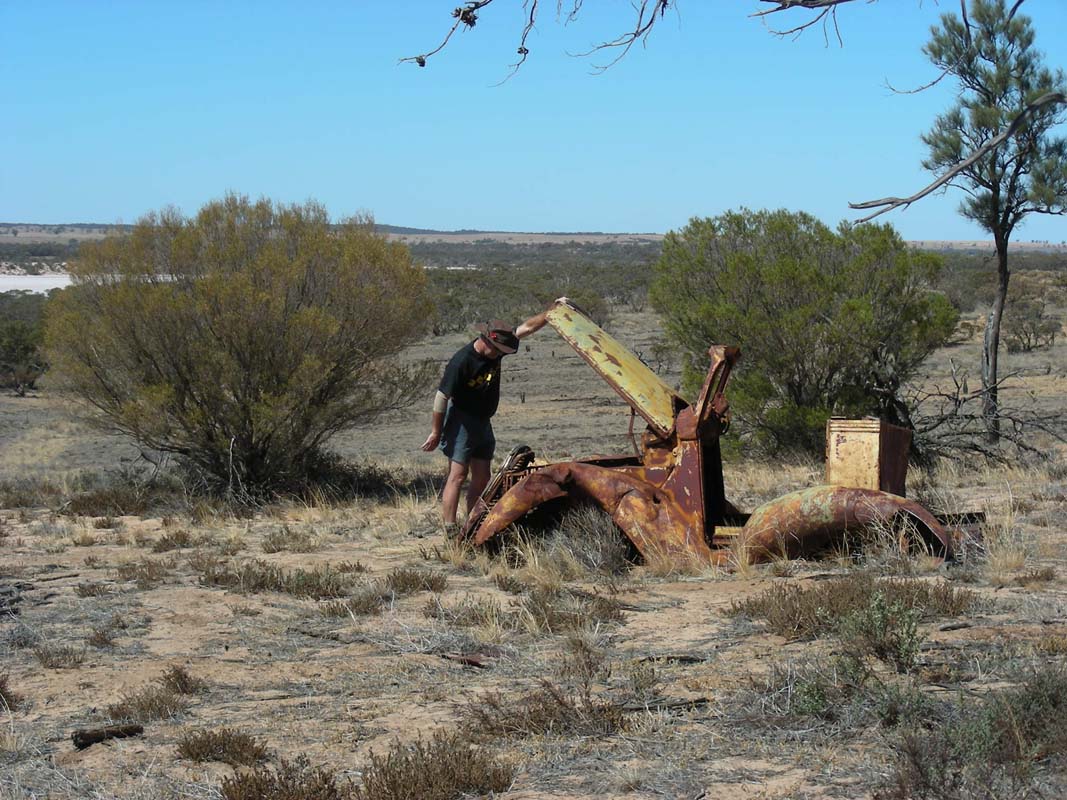
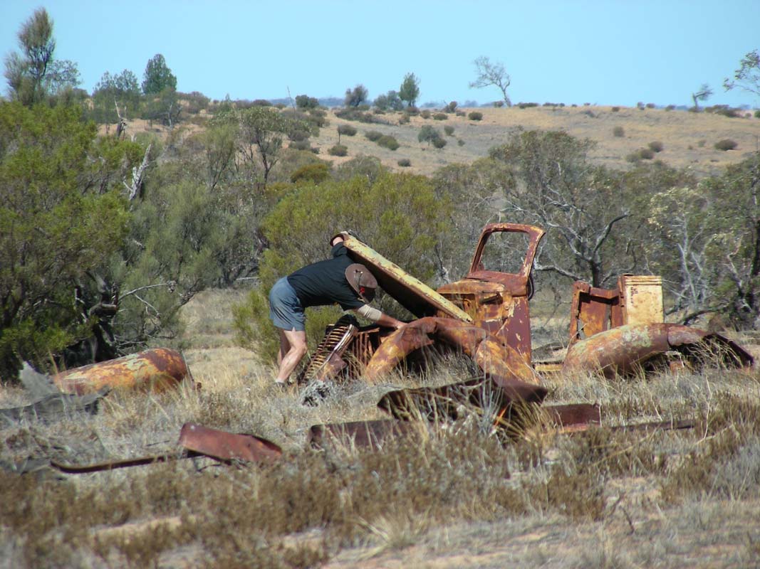
When Ruedi has a closer look at the engine of the old car
the poor old bonnet lets go and the men have to place it
into its position again ....
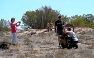
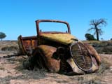
... photographer's heaven ....
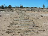
Last stop on the walking track is Lake Becking.
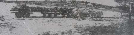
Along this lake an old, narrow gauge tramline used to carry
the salt to the place where it was then loaded onto camels
and later onto trucks.
It is said that during its operating time it would often
take longer to clear the tracks of wind blown sand than to
actually harvest the salt.
The engine apparently even caught fire on the maiden journey!
We get onto Mt. Crozier Track, a red well
formed and rather hard track with section of white deep and
soft sand.

We pass Lake Kenyon and stop for the interesting
formations on the lake.
It looks a bit as if the salt is braking up.
We reach the Mt. Crozier Campground and
set up camp for the night.
It is very dry and we have to be careful with water as the
bees are very keen on getting some of it.
While Heidi is cooking a "fight" breaks out between
two bees over a small peace of capsicum.
So the showers are postponed until it is dark and all bees
have gone home.
Even though it has been a sunny day the temperatures had
not been over 26°C and during the night they even drop
to 12°C.
On Tuesday morning a glorious sunrise announces humidity
in the air.
On the local ABC channel they even announce some rain for
the afternoon.
Well, we will see ...
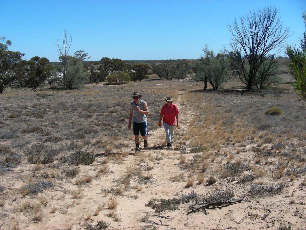
As we leave the camp ground we meet three park staff that
are getting ready for some road construction work and stop
for a chat.
As we mention our disappointment because of the lack of animals
they tell us that in the last few weeks they have found 108
dead kangaroos along the road that have died of thirst and
lack of food ....
When discussing our planned route the men let us know that
most all animals have fled north to the Murray River and
east to the Hattah-Kulkyne National Park.
So we decide to change our plans and head east.
But for that we first have to head north on a rather sandy
and soft track that leads to the Underbool Track.
Then we continue east on Pheenys Track.
This track is much harder and we decide to pump up the tyres.
We turn into Last Hope Tank and head south
towards two old salt lakes to have lunch.
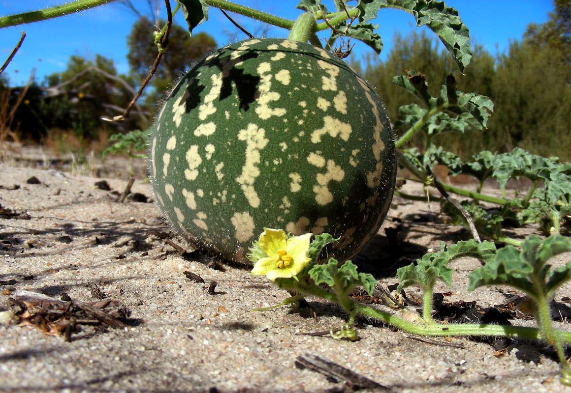
As we stop for lunch at some shady trees we find a strange,
sweetish smell in the air.
Then we see the cause of it .... under the surrounding trees
in the shade there are lots of dead kangaroos ... some in
small groups ... some mothers with young ones ...
It looks as if they had tried to find humidity by digging
in the soil around the trees but they did not make it.
It is pretty depressing to see things like this ...


Along the track we find a dune, rather steep and high,
that has previously been used to test the skills of drivers.
Simon and Peter tease Ruedi that long that he reverses the
OKA, gathers some speed and heads up the dune. Even so he
doesn't think he will make it he actually manages
to get on top of it even though the tyre pressure is set
to gravel and not sand. He is really impressed about the
OKA's performance.
It does not take long and Peter also arrives on top of the
dune with the Toyota.
Simon is impressed and wants some pictures taken of the "action" so
Ruedi heads down and comes up the dune again.
Big toys for big boys ....

We leave the light forest and reach the salt lakes of the Raak
Plain.
Some more dead kangaroos lie along the track .... some
really skinny kangaroos which don't look too healthy stand
close by and are too weak to jump away .... what a sad story.
By now the sky is covered with clouds and the temperature
has risen to 29°C.
It is rather muggy ..... it looks like we could get some
rain later on ....

We stop at the abandoned Raak Plain Mine and
wonder what was mined here ... looks like mica, but we don't
know.
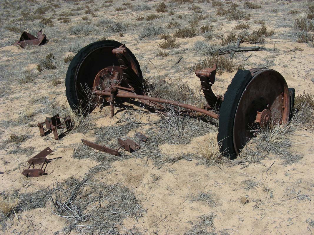
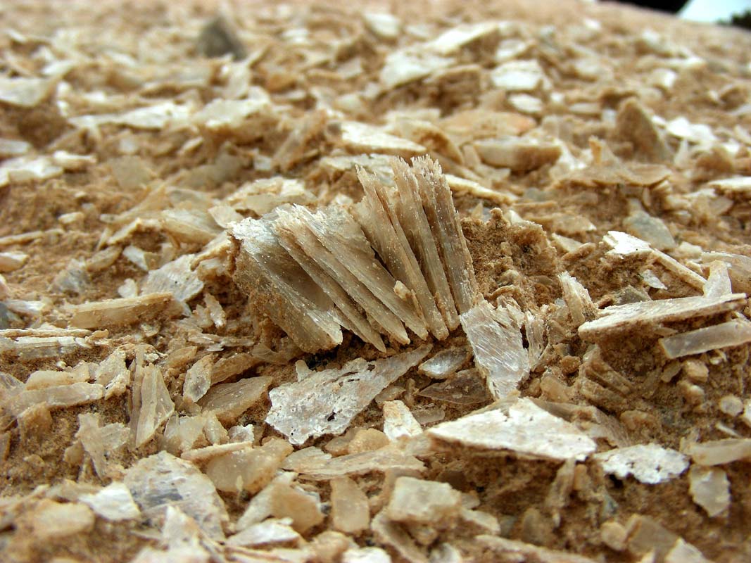
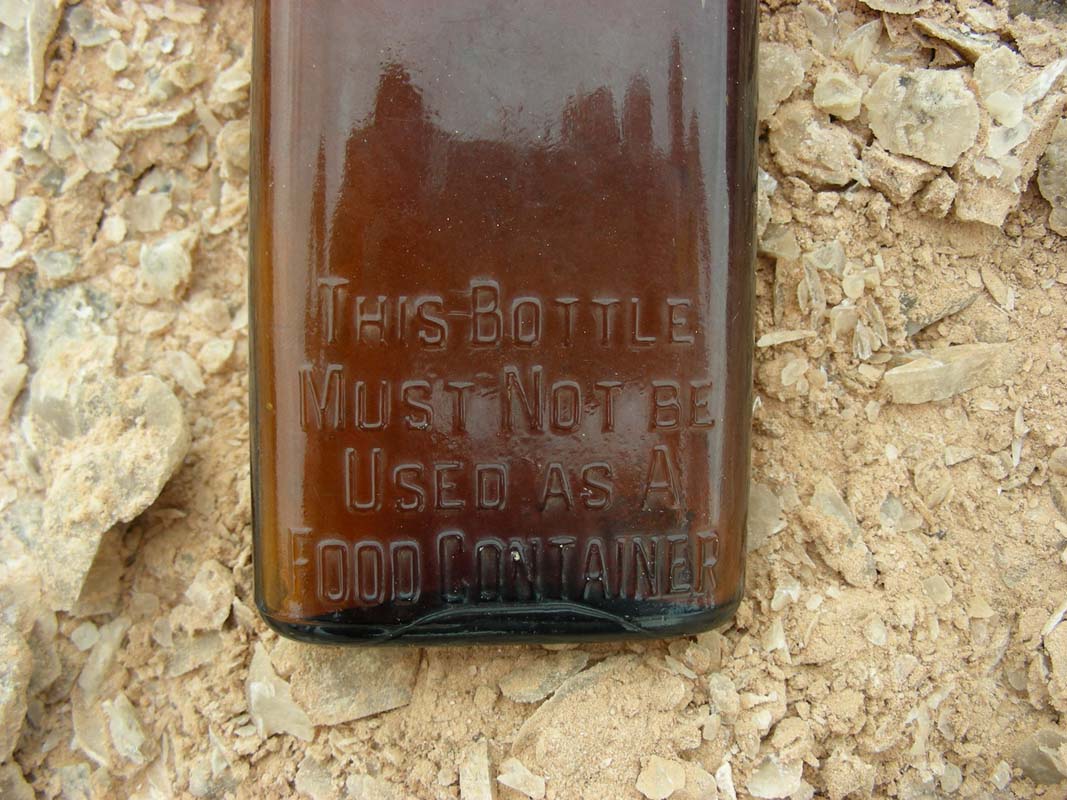
The rubbish dump reveals some interesting old bottles ...

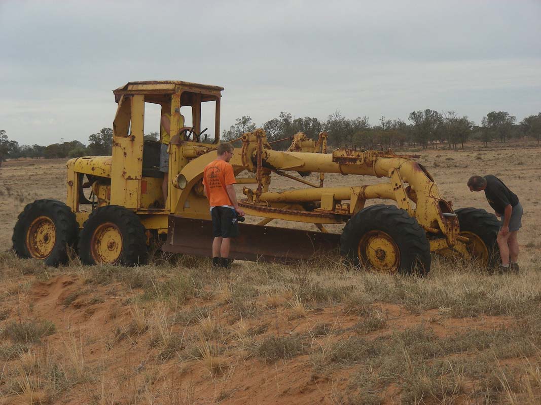
An old grader along the dirt track awakes the interest
of Peter and Ruedi; Peter looks at it with the eyes of an
engineer and Ruedi is more the hand-on person, checking which
of the levers and shifts still work and what they move ....
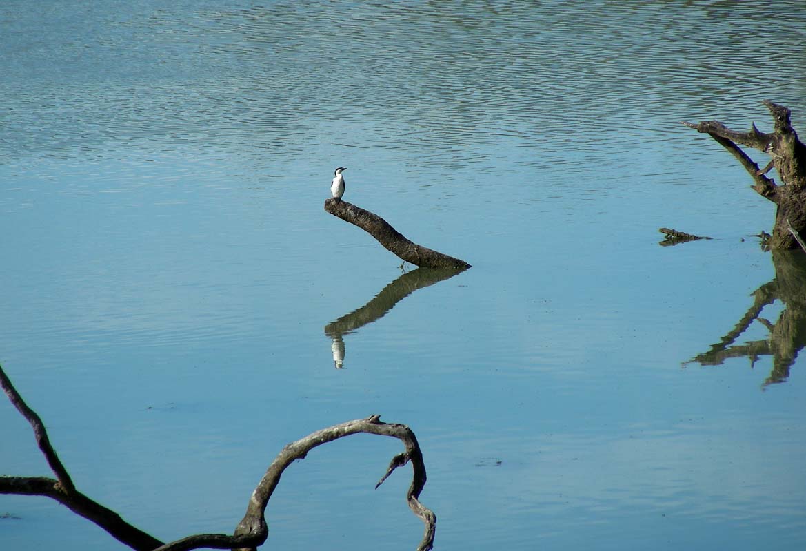
We spot some Major Mitchell Cockatoos but they are very
shy and no close-up photos are possible.
We reach Hattah and stop at the corner store for an ice
cream.


The shop-owner has a good sense of humour ....
Then we head into the Hattah-Kulkyne National Park and
visit the information centre.
The local staff tells us to go down to the river if we want
to see animals as the lakes have dried up a month ago.

We follow the advice and soon after find ourselves a nice
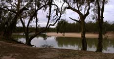
spot for the night at the Boiler Bush Camp right
at the banks of the mighty Murray River.
As we are setting up camp a ranger comes past and informs
us that they are shooting kangaroos and wild dogs in the
park.
In the evening a ranger passes by and informs us that we
shouldn't be scared should we hear some shooting during
the night. He explains that due to the abundance
of water their kangaroo population is causing damage to the
environment and that it has to be controlled.
It is hard for us to understand that they have an overpopulation
of kangaroos in this National Park and just some 40 km further
west in the neighbouring National Park they have lost a large
portion of their kangaroos ....
As night falls Sulphur Crested Cockatoos settle in the
trees and are incredible noisy.
Some Kookaburras come for a visit and have a bit of a laugh.
It is the first time that Simon can enjoy such a large amount
of birds and he is impressed.
We sit outside till late and enjoy the warm evening .....
and are surprised about the small amount of mozzies!
During the night some light rain comes past every so often
and the temperature does not drop below 21°C .....
On Wednesday, March 25, it is overcast but it looks like
it could fine up.
The Cockatoos perform a "morning-screeching" and
Simon loves it.
Guess he will take this home as another lasting memory of
the Australian bush ....
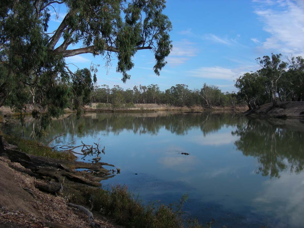
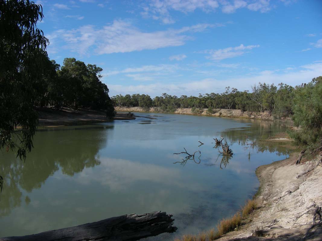
We decide to follow the River Track as
closely to Murray River as we can on our way to Mildura.
The large River Gums are impressive.
We cross the small bridge over the Chalka Creek.
A weir has been built into the bridge so waters that flow
into the creek when the Murray River floods don't flow
back into the river once the water recedes.
Now the Chalka Creek is just a dry bed with lots of drift
wood (or are they dumped limbs of Eucalyptus trees???) in
it.
A group of people are investigating the area. It is probably
the workgroup that is looking into artificially flooding
the Chalka Creek at least once a year to save the wetlands
it usually feeds with its water.
The lakes used to be full of water during 80% of the year,
these days it is only 21% ....


We continue north along the Murray River and find many
pretty spots more, it's endless ....
By now the sun has burned away the clouds and the temperature
is rising.
As the weather forecast is for storms in the afternoon and
for tomorrow Susi wants to move a bit quicker to get the
washing done.
So we split up and leave Heidi, Peter and Simon behind to
enjoy the river a bit more. We will meet with them again
in Mildura on the Big4.

Then we leave the National Park and reach the first orchards
Mildura is famous for.
Some of them look brown and dead, they must have run out
of water rights and had no more water for their crops.
We head into Mildura, get the diff oil
change organised, go shopping and then settle down at the
campground for the rest of the day.
On Thursday morning we get up early as we have to be at
the garage at 8 AM.
The sun is trying to get through the clouds ....
Peter too has an appointment for service of the Toyota
at 8:30 AM.
Not knowing how long we will have until all is finished we
decide to meet at the entrance of Mungo National Park.
Who ever finishes first will send an SMS before leaving Mildura
so the other party knows that they are on the way.
The weather is not too good some rain clouds are hanging
around in the north.
We leave Mildura and leave the bitumen in easterly direction;
the dirt track is in very good condition.

Around Lake Arumpo we reach the rain.
It's not much but in no time the dirt road turns to a messy
and slippery track.
Ruedi has a hard time keeping the OKA in a straight line.
We have to reduce the speed to 25 – 30 km/h in some
very bad areas.
Luckily there are sections where the road surface is sand
and the water has dried off almost completely.
As it is only another 15 km to the National Park we decide
to continue driving to catch up with Heidi, Peter and Simon.
Some 10 km further on we see "Grader ahead" signs
and shortly after pass the busy machines.
No wonder the dirt road was in such a good condition.
A coach crosses us probably oblivious to the treacherous
track conditions he will find on his way back to the bitumen
...
We manage to continue driving and reach Mungo National
Park and the visitor centre.
Simon, Heidi and Peter are there waiting for us.
As the rain is easing and it looks like the sky could clear
up we decide to start the self-guided tour.
We start crossing Lake Mungo and sight
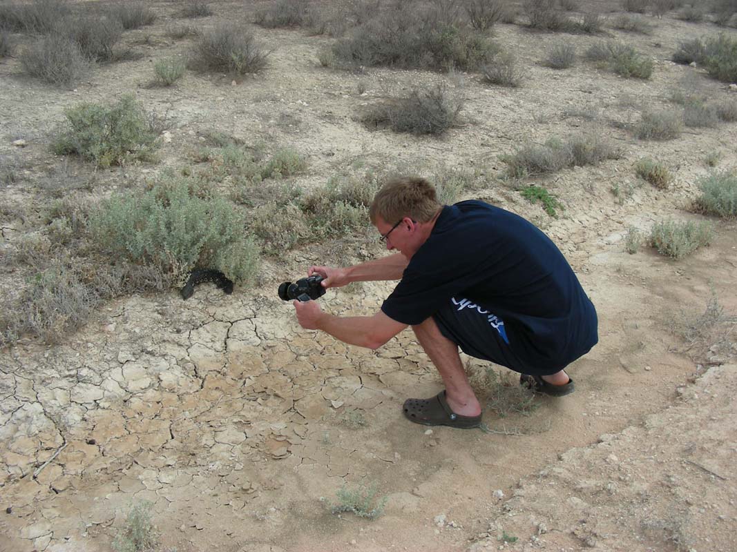
a Shingle Back.
It is hiding close to a bush and we can get a bit closer
to it.
They definitely look different to the ones we know from Western
Australia and from Tasmania.
Again many remains of dead kangaroos are proof of the extreme
weather conditions this area has experienced this summer.
We also spot alive ones but not too many.
Some of them come for a drink of water in the puddles of
water that the rain has formed along the track.
That might just be that bit of water that keeps them going
until the next rain comes .....
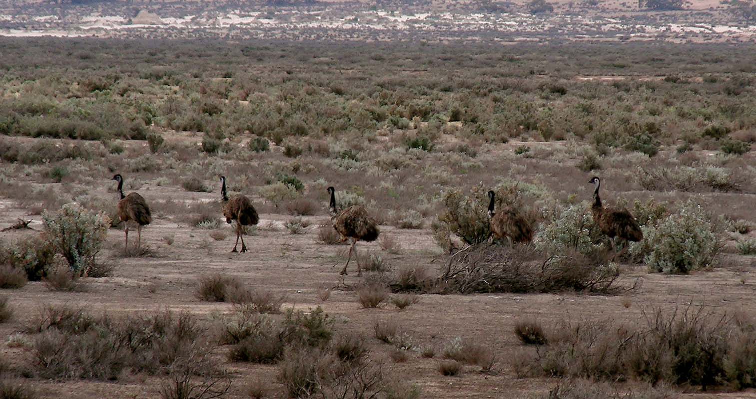
Large groups of Emus run away as we approach.
They seem to be in better shape.
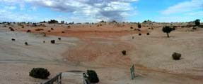
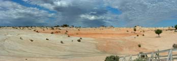
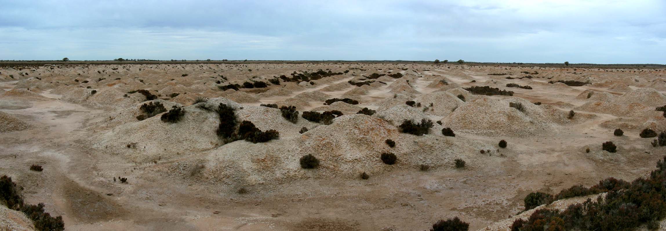
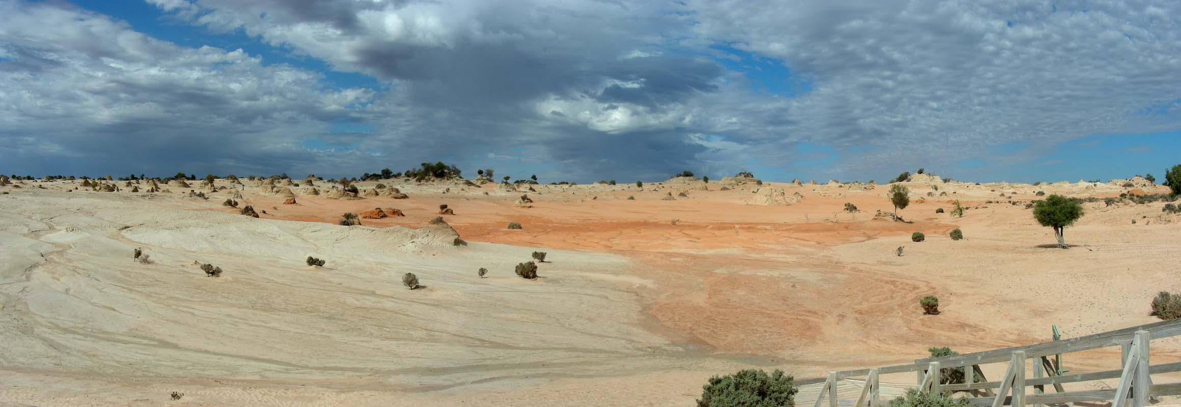
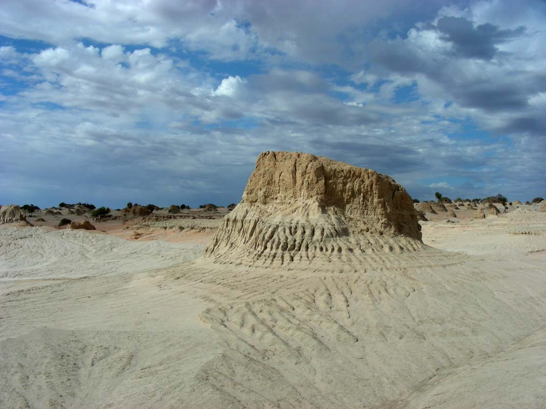
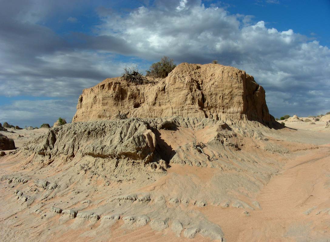
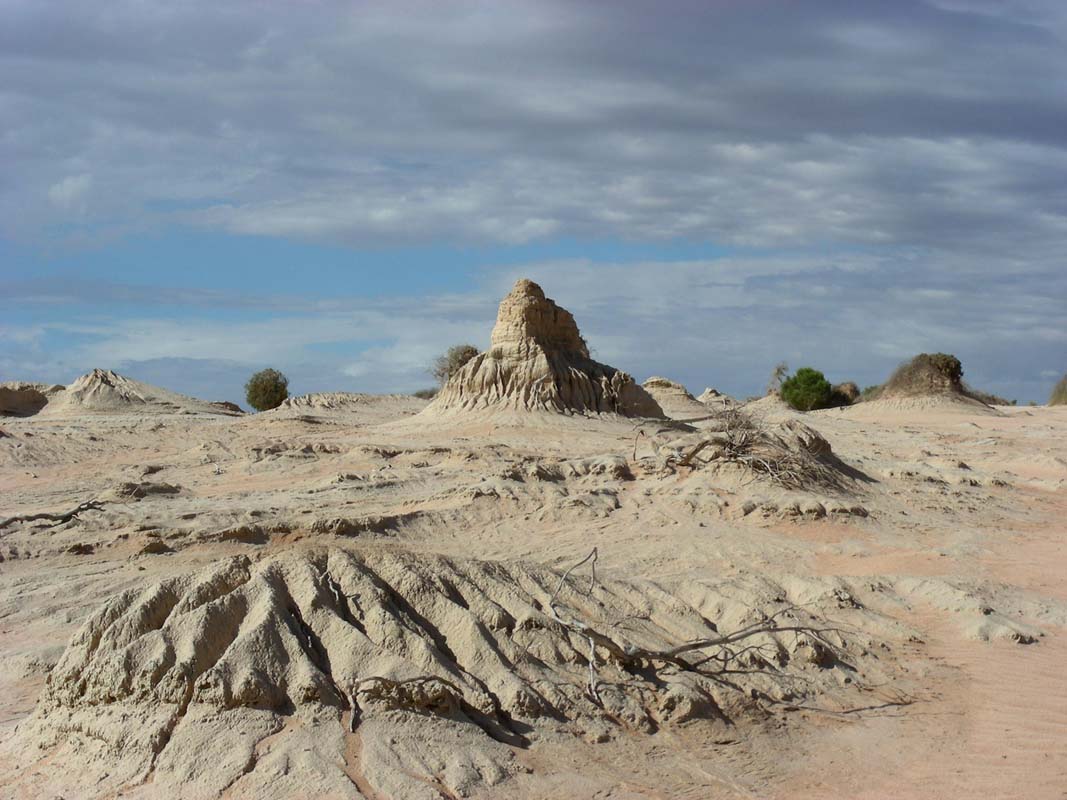
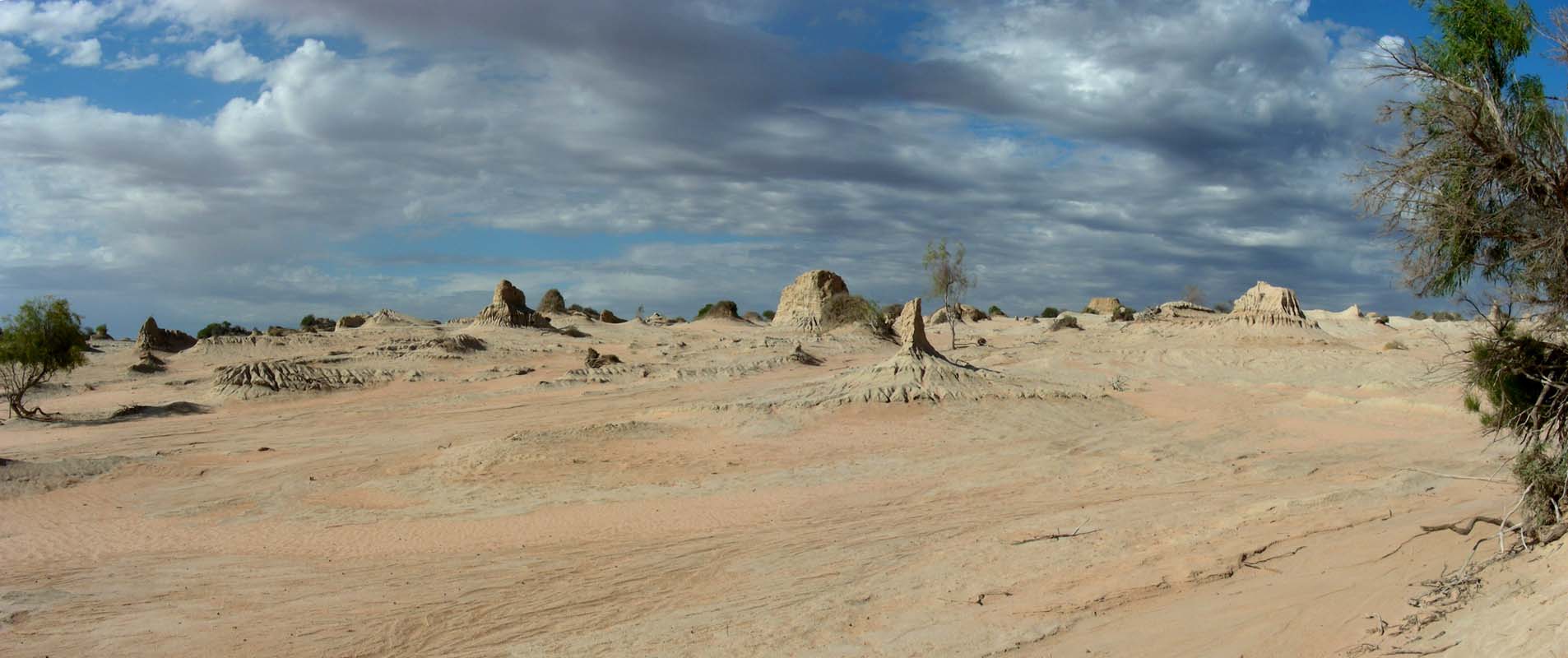
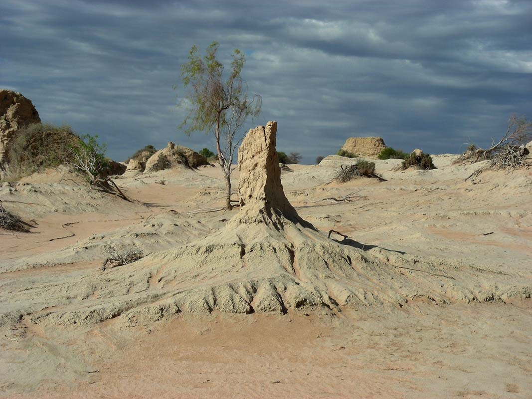
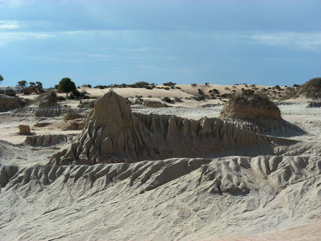
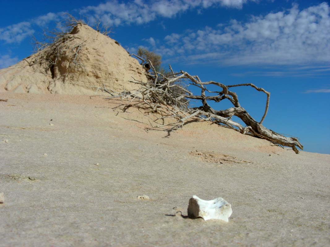
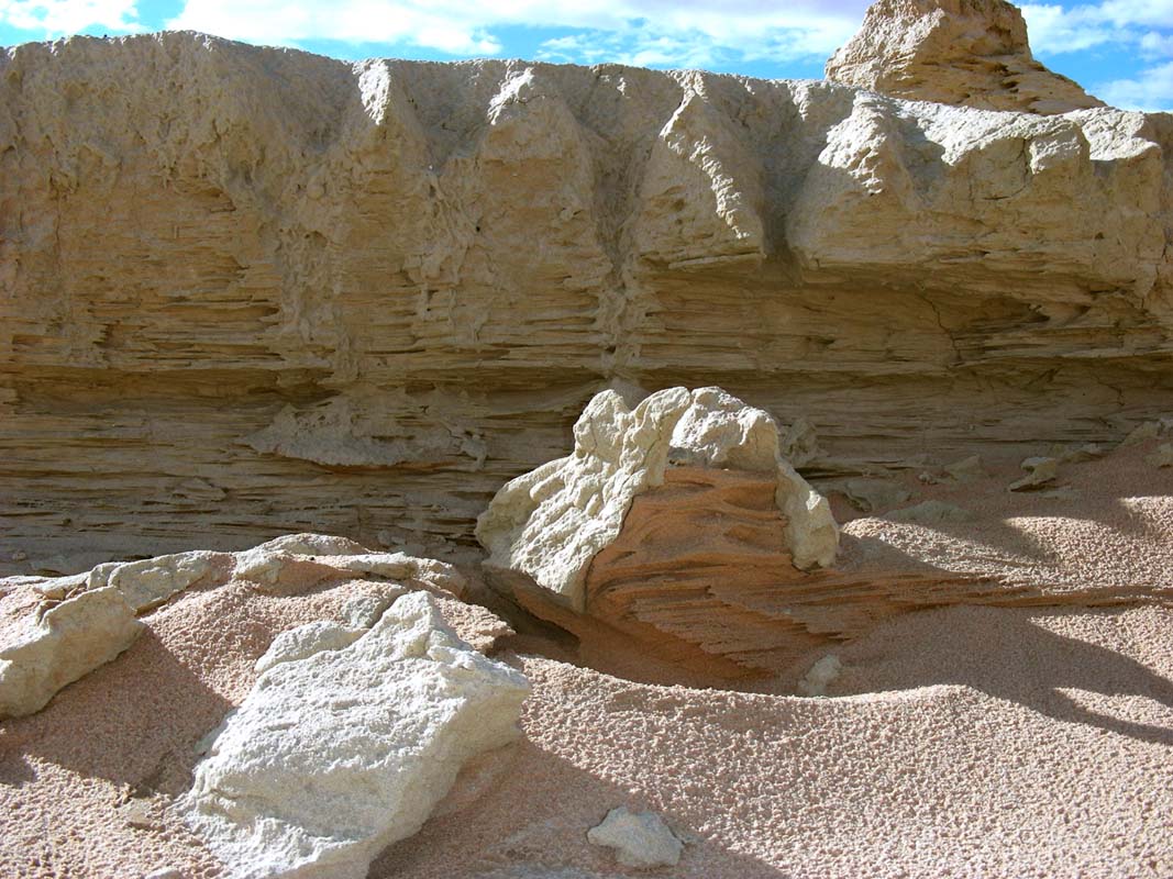
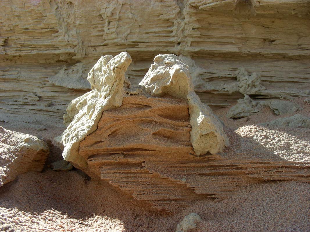
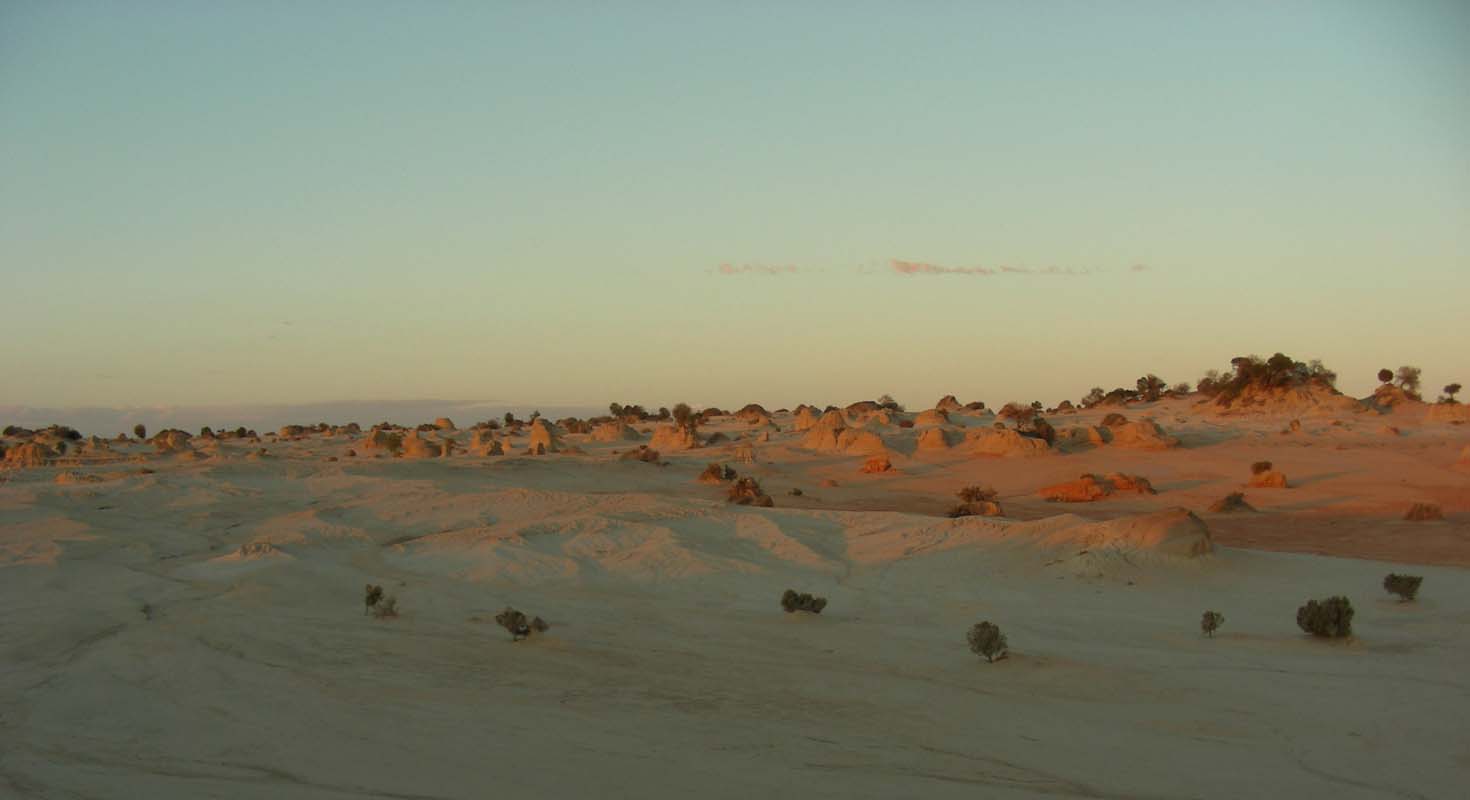
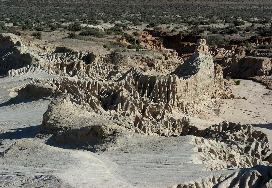
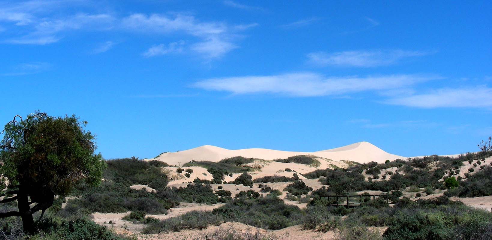
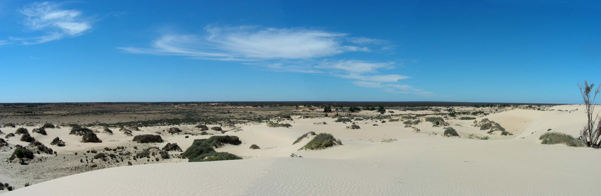
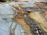
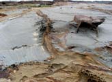
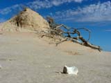
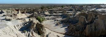
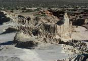
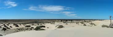
We stop at the Walls of China.
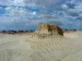
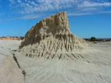

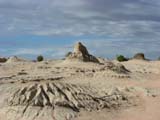
It is a photographer's dream, so many objects, shadows,
formations ....

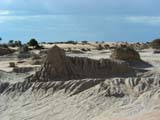
Even though the sun is every so often obstructed by the
clouds we still manage to get many good pictures ...

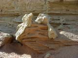
Some formations created by the wind and the sand are just
amazing.
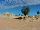
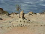
One also wonders how the plants survive our here.
When looking at this tree it is obvious that it is not easy!
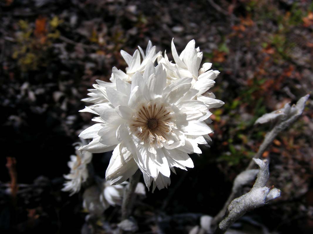
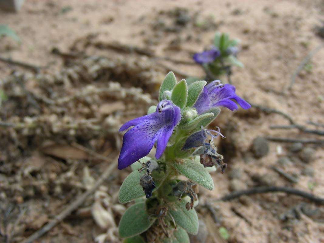
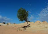
Even some flowers are blooming in this arid zone!
They seem to dry up or lie dormant during the dry periods
... but as soon as water is available they just continue,
where they stopped before ....
This plant in particular seems to be very adapted to this
kind of weather ...
We stay for the sunset but it is not really that impressive.
Then we head back to the main camp where we stay for the
night.
After a cool night with 11.5°C we head out to Lake Mungo
on the self-guided tour.
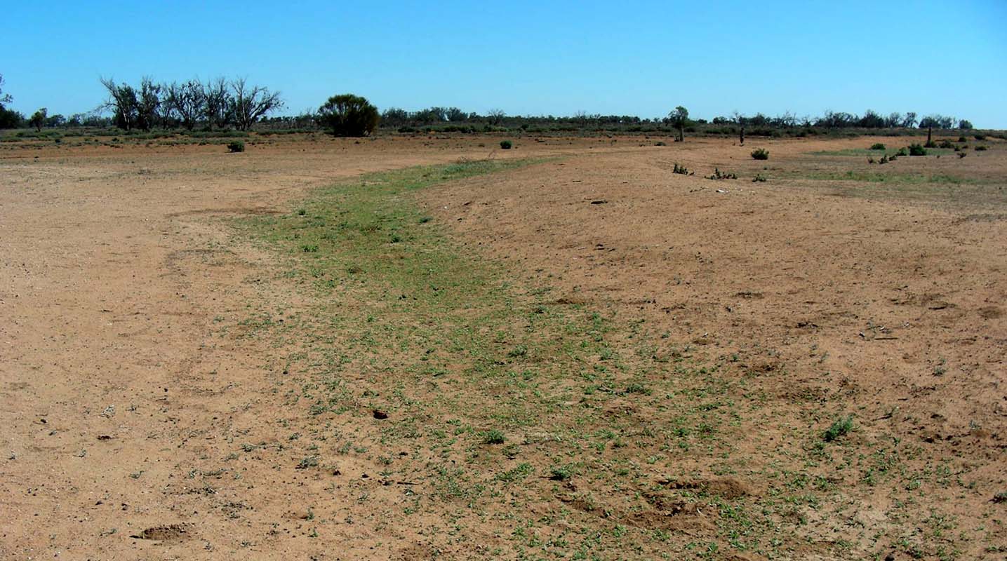
After yesterday's rainfall the arid ground is starting
to turn green and the kangaroos finally find some feed again.
There is also still some water left along the sides of the
track so for another day or two they will even have something
to drink.
The kangaroos look a bit healthier than the ones we saw in
the Murray-Sunset National Park but they still seem a bit
frail and malnourished.
Even though the sun is shining it is hazy and there seems
to be quite a bit of humidity in the air.
Luckily we went to the Wall of China yesterday, today the
sun would be shining form the wrong direction and the light
is not good to take pictures either.
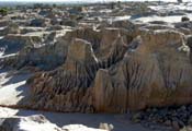
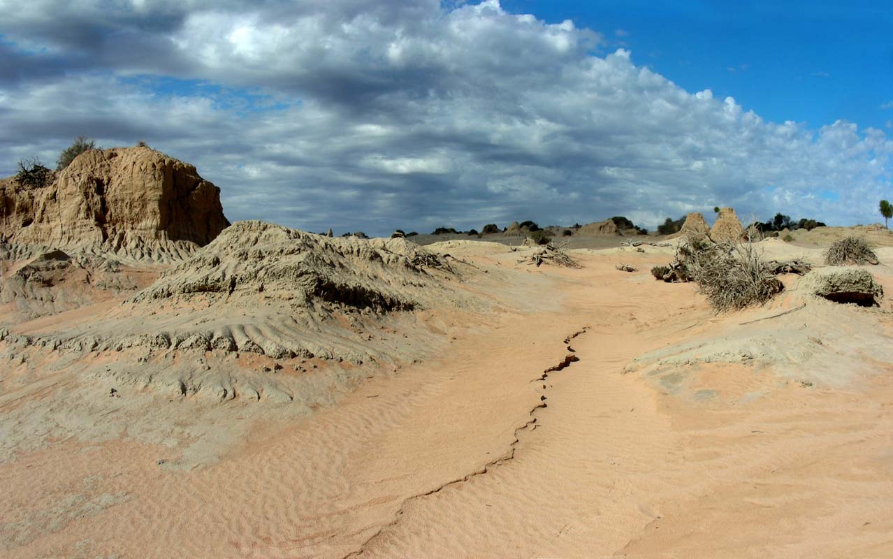
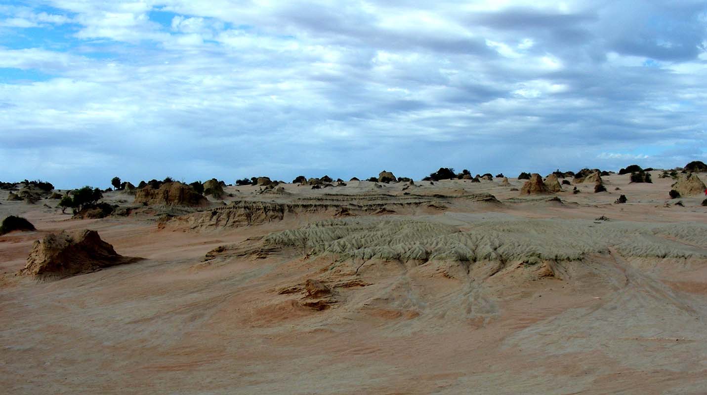
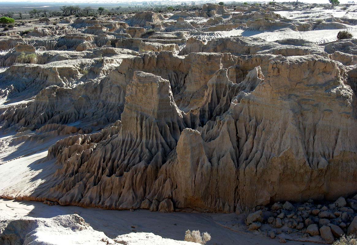
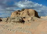
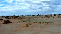
We cross the Wall of China Lunette and
stop at the Red Top Lookout.
Erosion has created a very interesting landscape.
On the back or eastern side of the lunette there is a pretty
contrast between the red ground and the white sand of the
dunes.

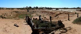
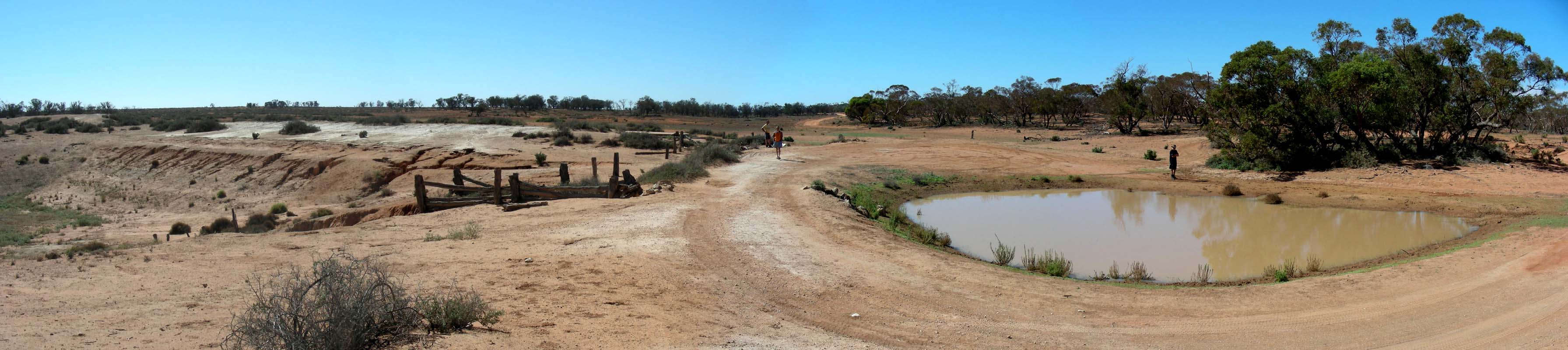
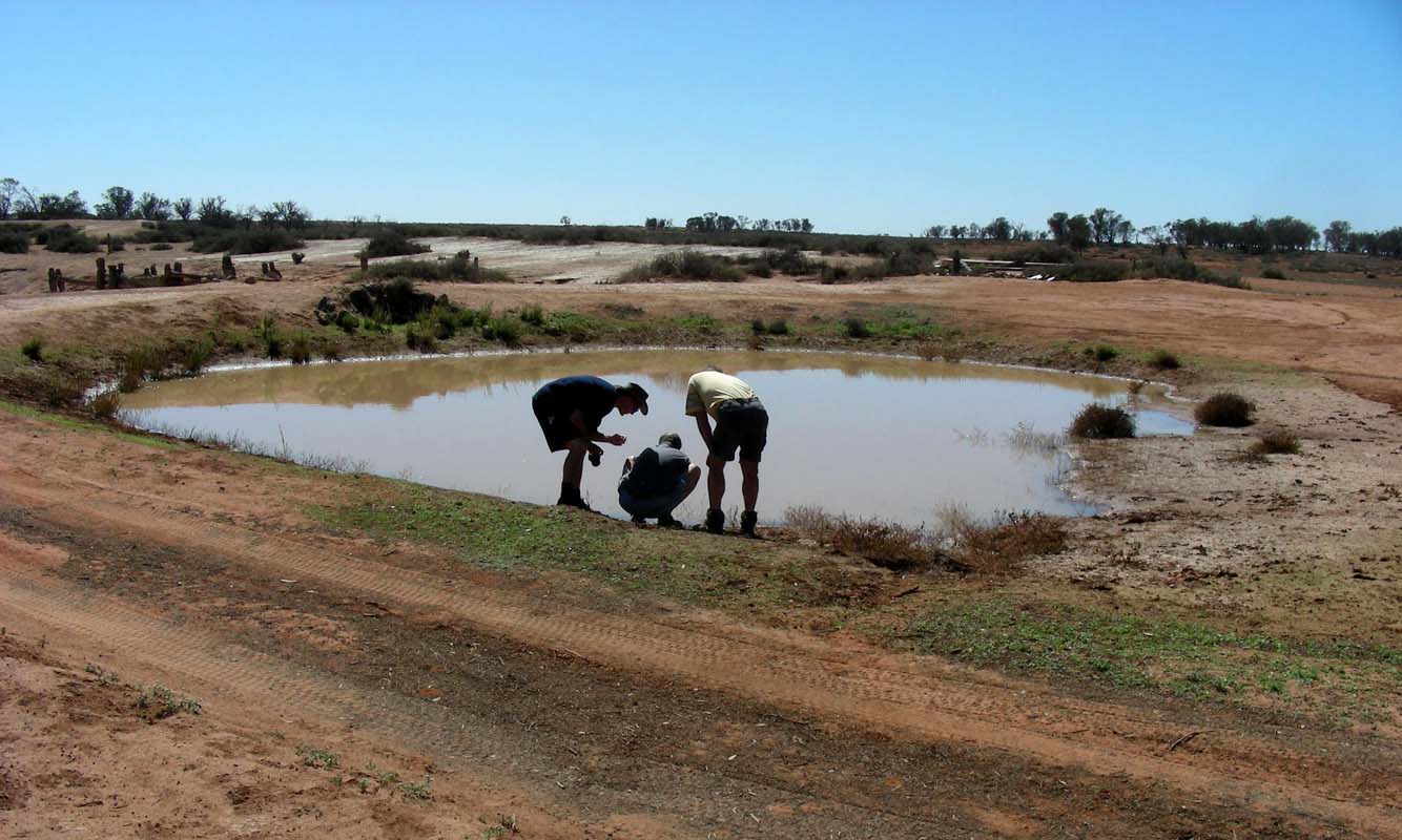
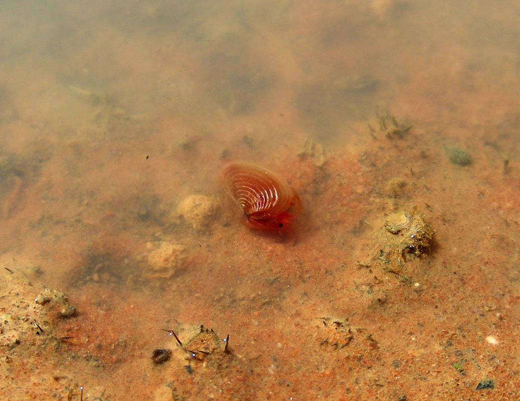
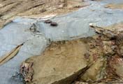
At Paradise Tank we find some water.
It is interesting to look at the tracks of the animals that
have come for a drink recently.

It does obviously not take long for nature to start to bounce
back!

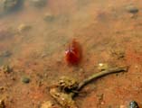

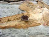
We also spot some small red animals in the water.
They have a shell-like body that they can close like mussels
but also have lots of small legs.
When looked at them in a test tube a shrimp-like body is
visible inside the shell ... interesting .....
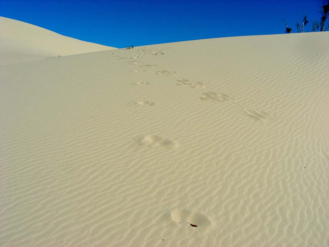
Click here to view the movie.
Does anyone of our 2'500-odd readers know what animals it
is?
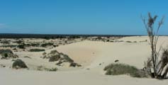
We turn west towards Vigars Wells and
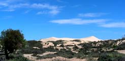
find a nice view of the white dunes.
Vigars Wells used to be an old Cobb and Co. route.
For
more details on it please click here.
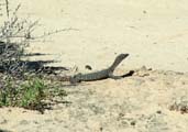
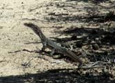
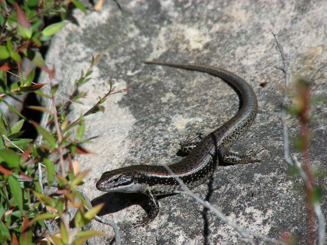
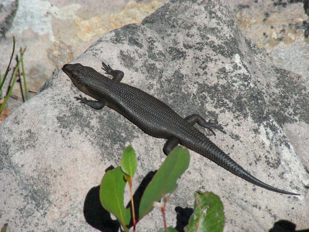
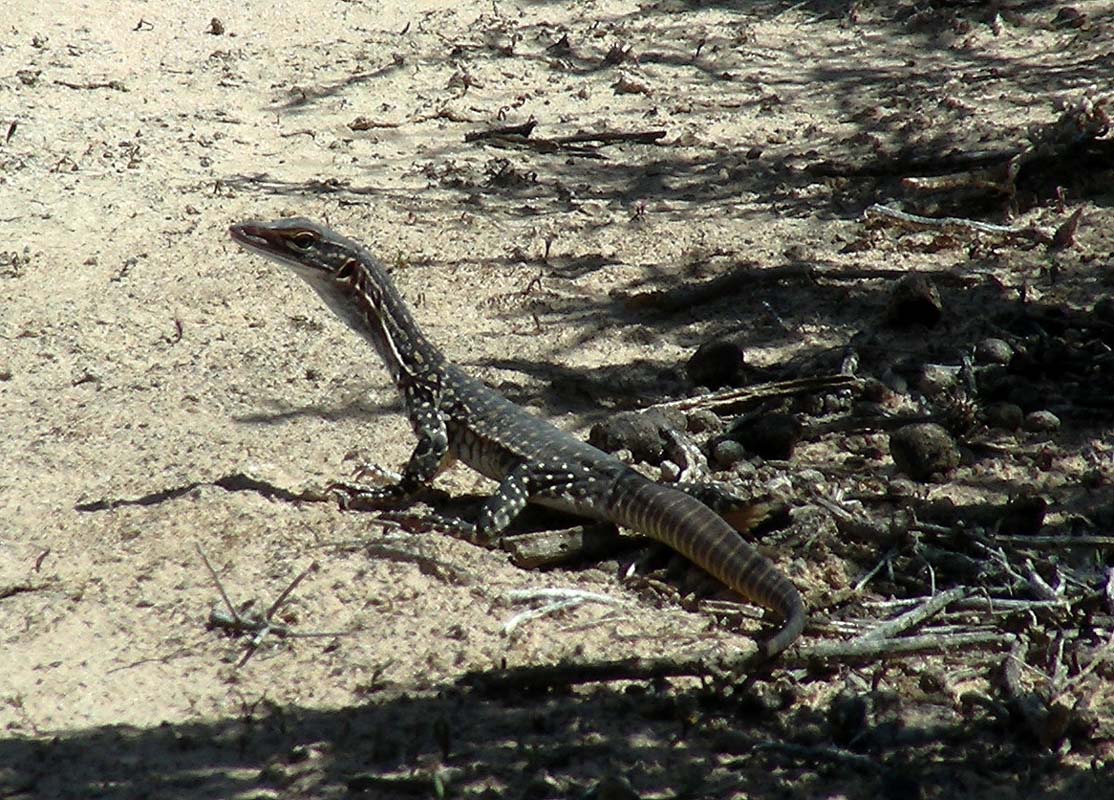
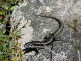
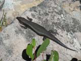
Simon spots a young lizard.
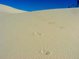
As we head into the dunes many other animal tracks can be
seen on the surface of the sand.
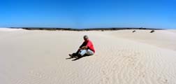
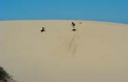
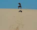
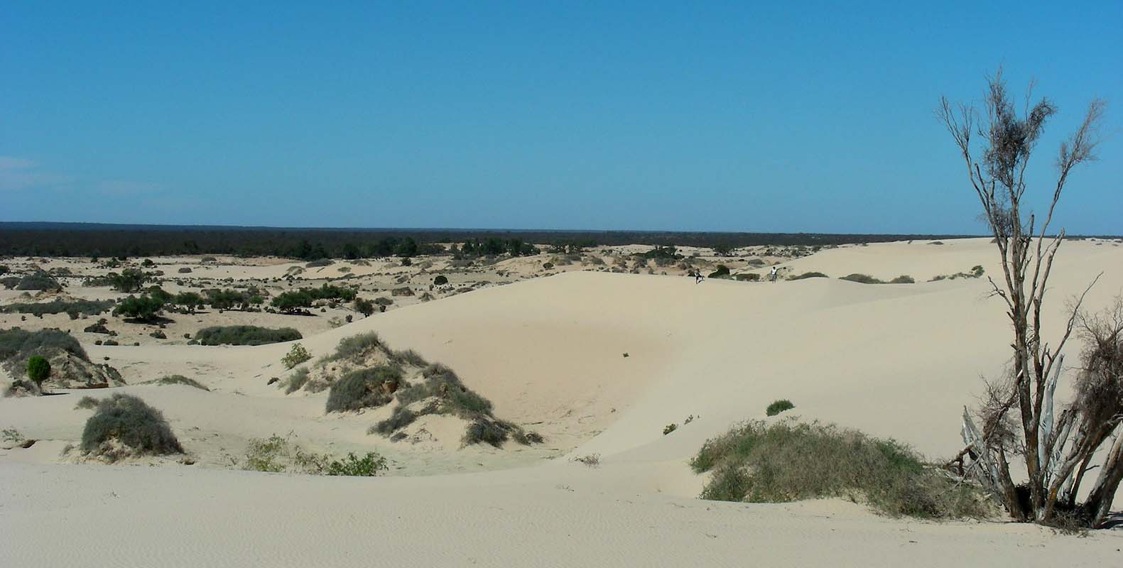
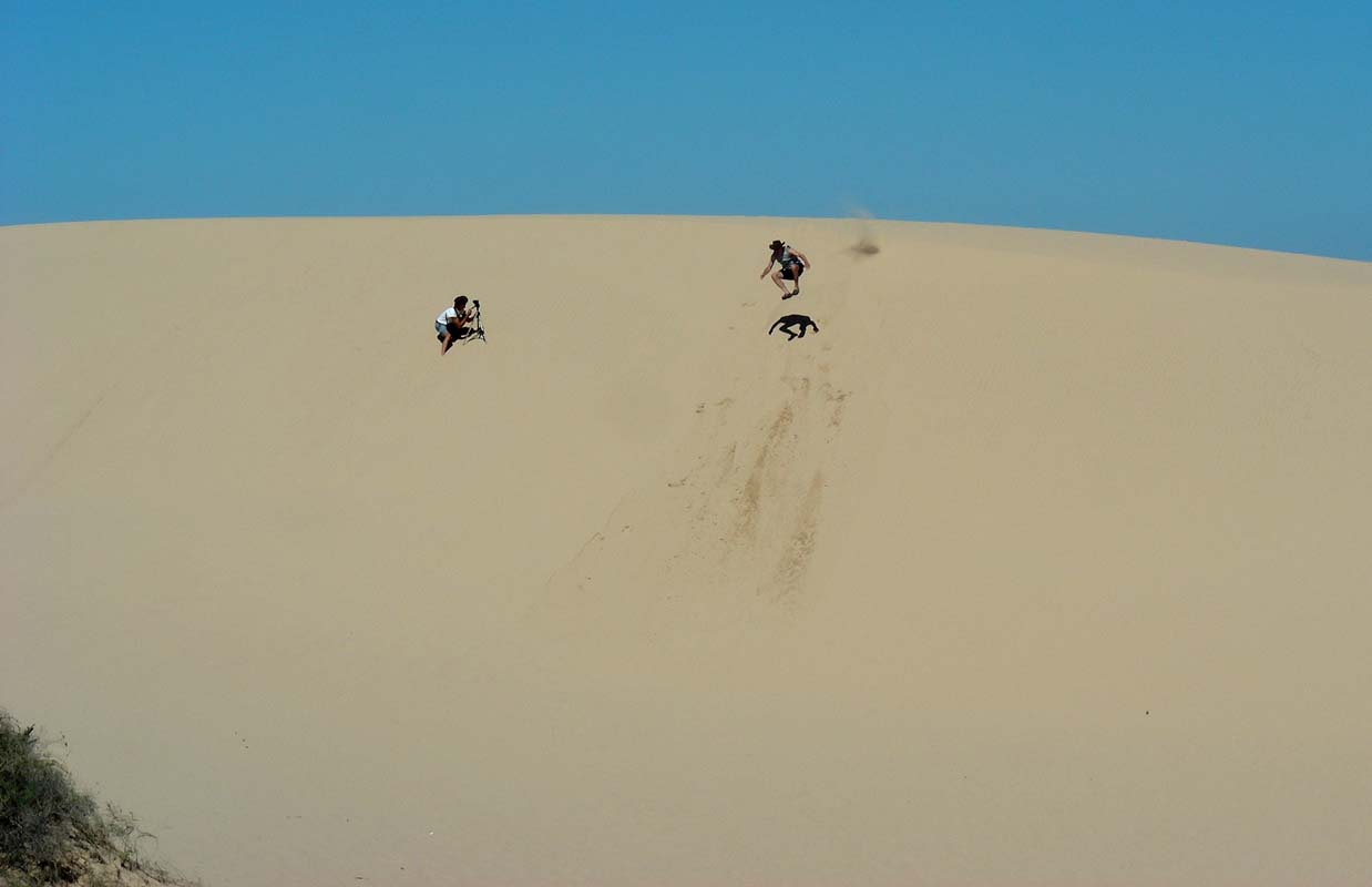
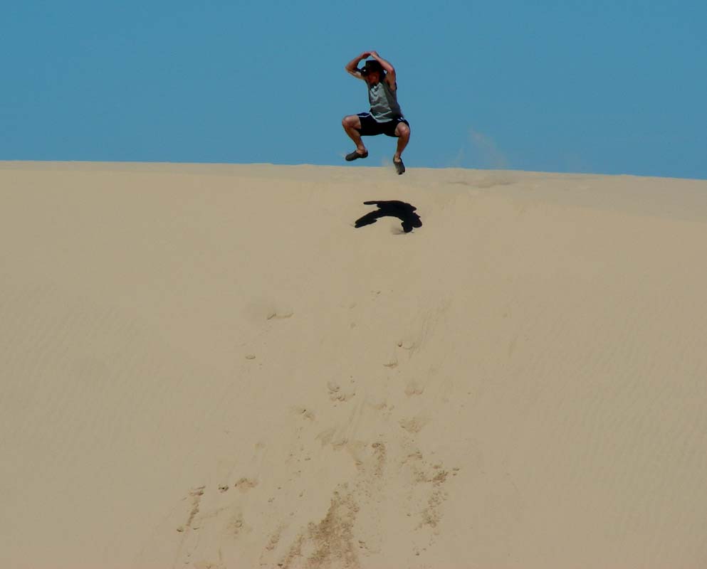
The dunes are quite high and offer some great views.
For the young ones they also offer some fun activities:
jumping over the dunes into the sand .... oh what a feeling!
Then it is time to return to the camp ground.
As we will be continuing on north to Lake Eyre and Simon,
Heidi and Peter will fly out of Adelaide to Switzerland
we will have to split up the equipment and ensure they
have got all the things that they have to take along.
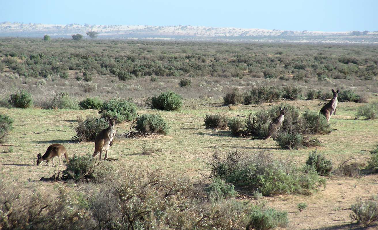
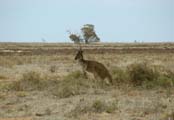
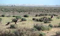
In the late afternoon some Western Grey Kangaroo (the locals
call them "scrubbers") come into the camp ground
to have a feed on the fresh greens.
Click here to view the movie.
And this is the end of this journal .... sorry, no more
time ... I have to go and pack things now .....
|