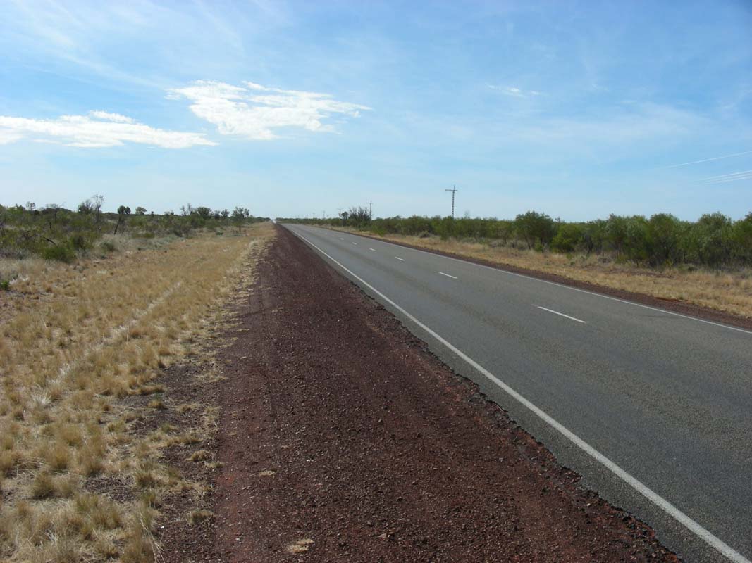
On Sunday, August 10, 2008, after some delicious pancakes
at the Alice Springs Big4 Camping, we leave Alice
Springs in direction of Darwin.
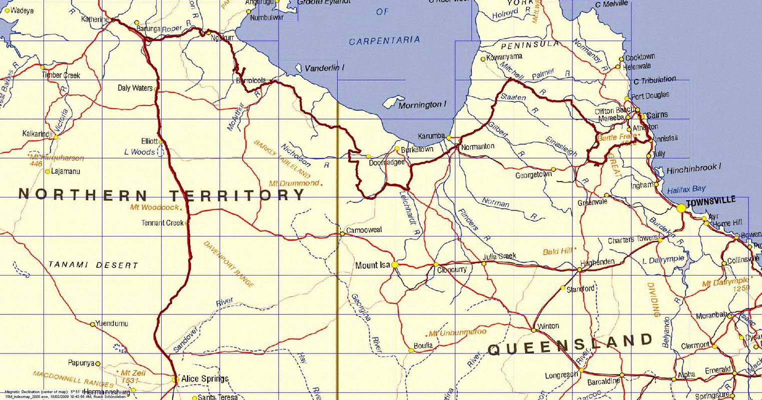
We plan to travel to Mataranka and there wait for Michi and
Marlene, some Swiss travellers that are coming from Cairns
on the Savannah Way, that want to meet us on their way over
to Perth.
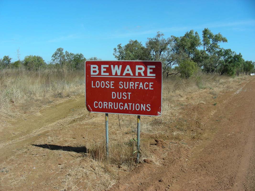
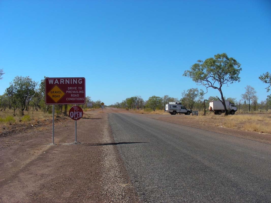
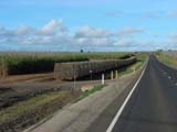
Shortly after passing the Hanns Ranges we
see a sign informing that there is a quarantine
station ahead of us and that we are not supposed to carry
fruits
or vegetables
with us.
Now we have a problem!
We are fully loaded with fruit and vegetables for the next
2 - 3 weeks, supplies for our trip on the Savannah Way
over to Queensland.
What now?
We continue on until we find a sign with a phone number that
we can call on the sat-phone.
But the phone number given on the sign is incomplete.
There isn't much more we can do at this moment than to
continue on.
Should there be a manned quarantine station we will tell
the personnel where we are heading to and why we did not
comply with eating a few kg of fruit and vegetables before
reaching their station.
Should they want to penalise us we can at least prove to them, that we have tried
to call that number.
To our relief there is no station.
But we are now fully aware that we will have to be extremely
cautious with discarding rubbish, as this is a fruit-fly
free zone.
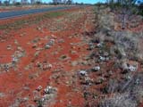
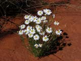
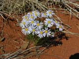
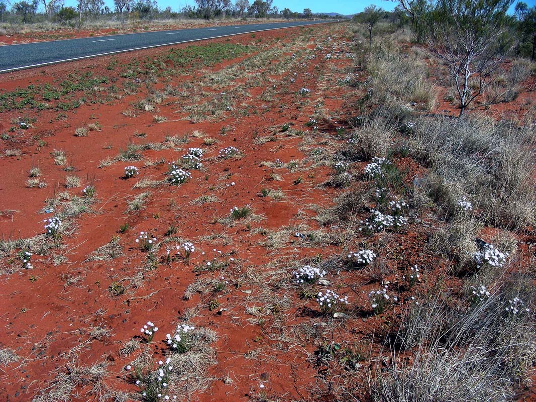
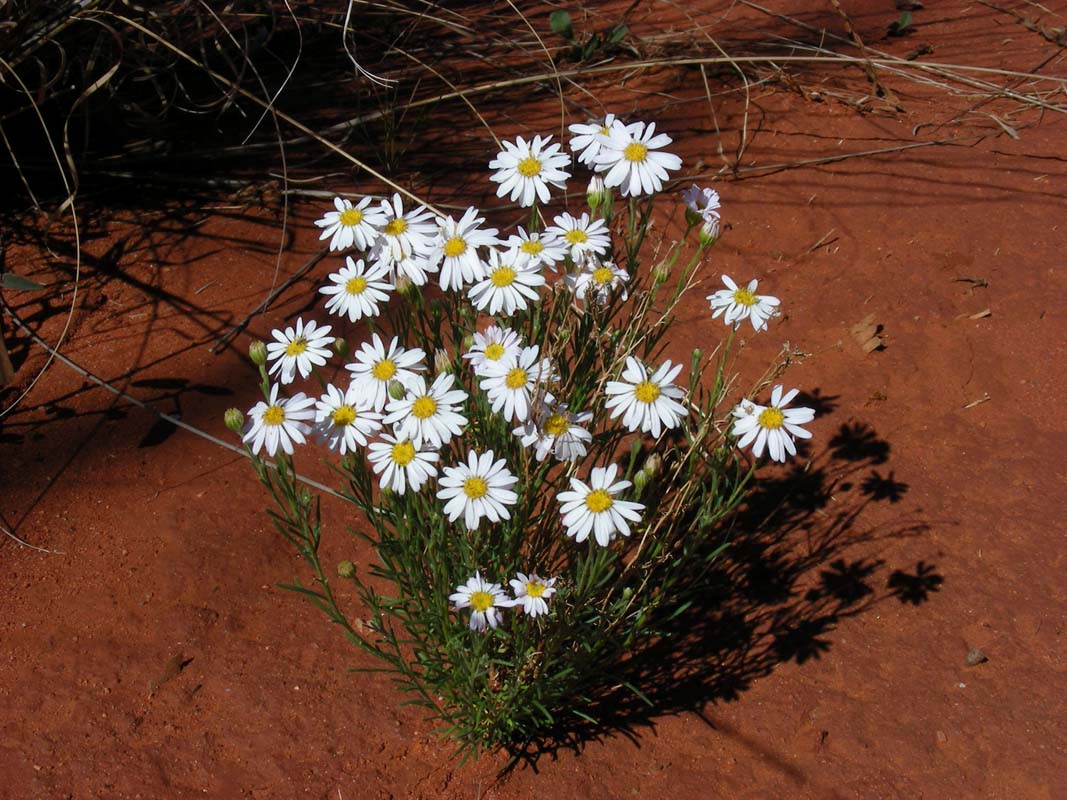
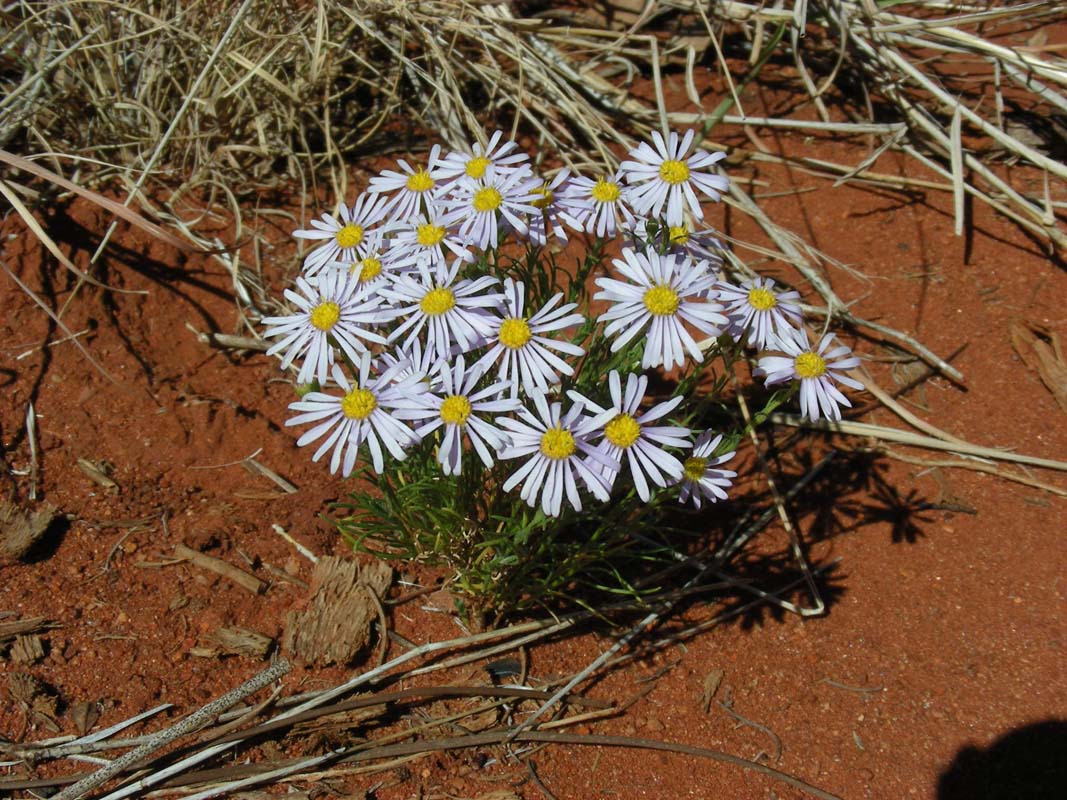
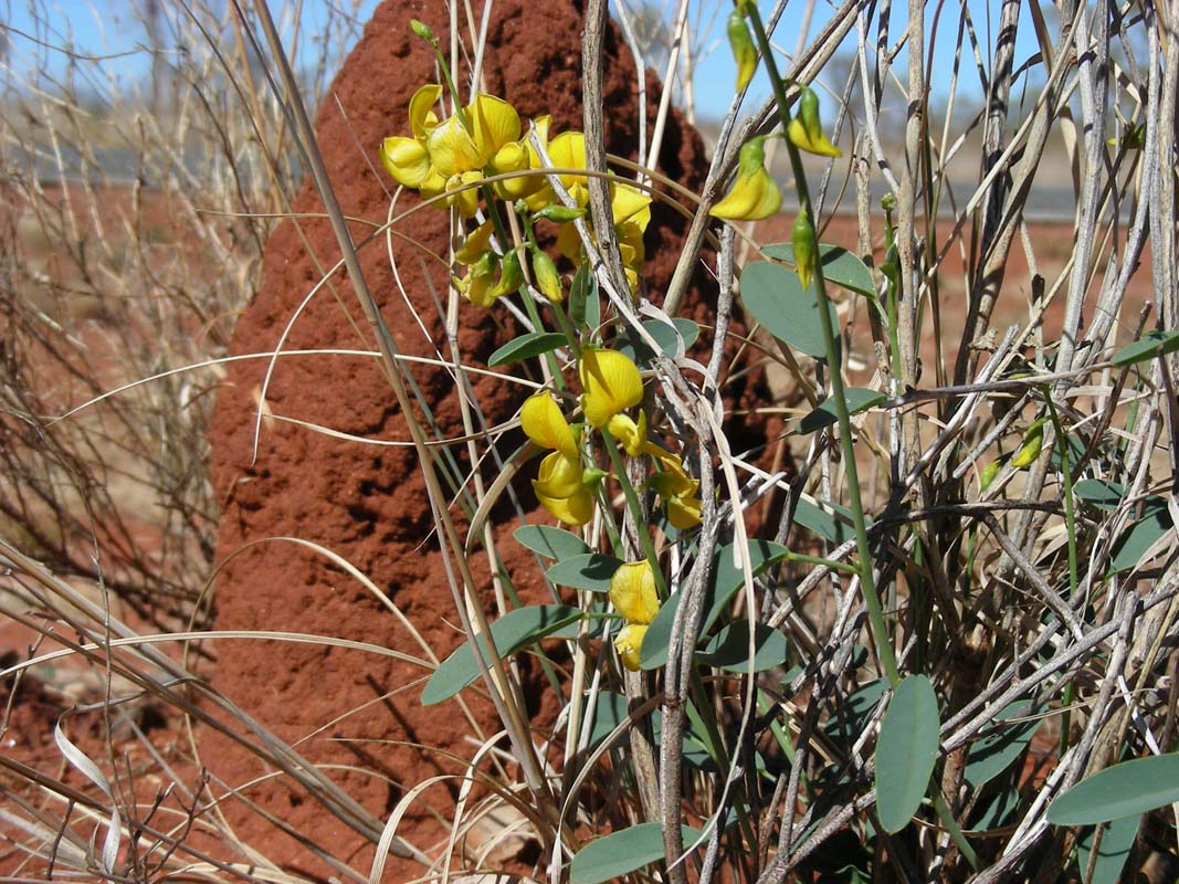
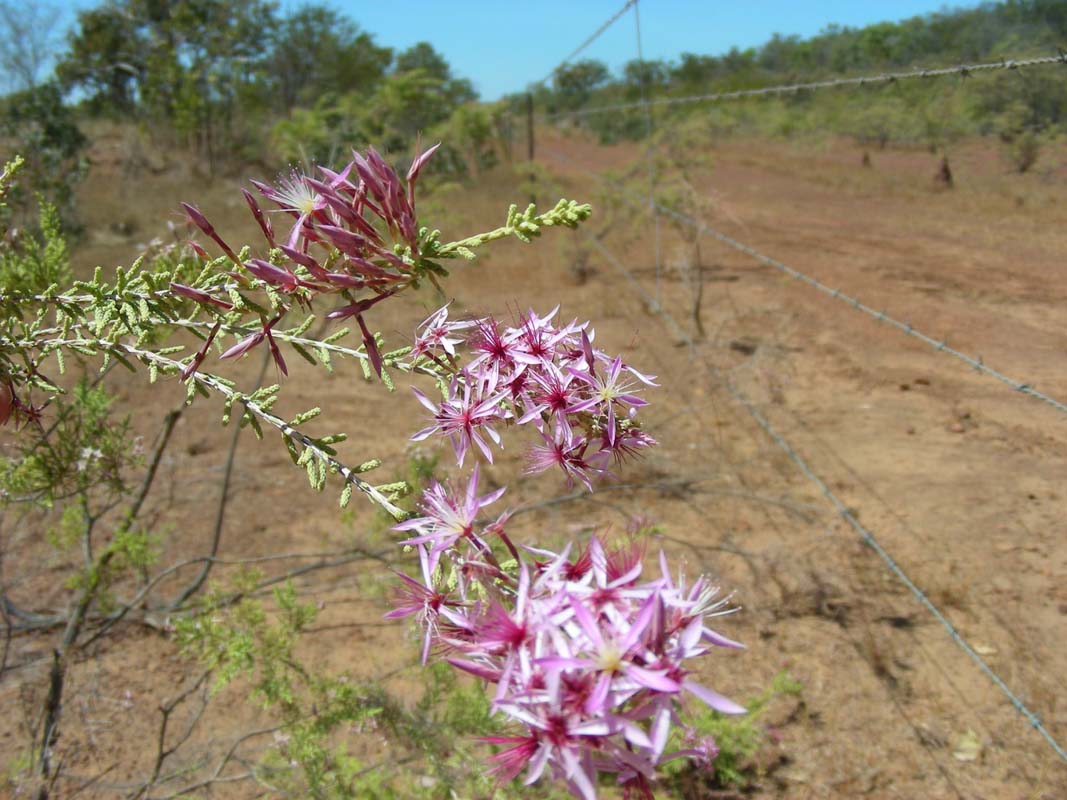
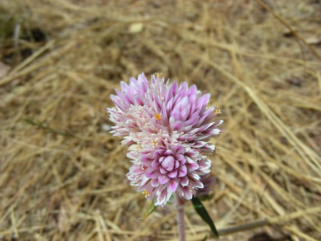
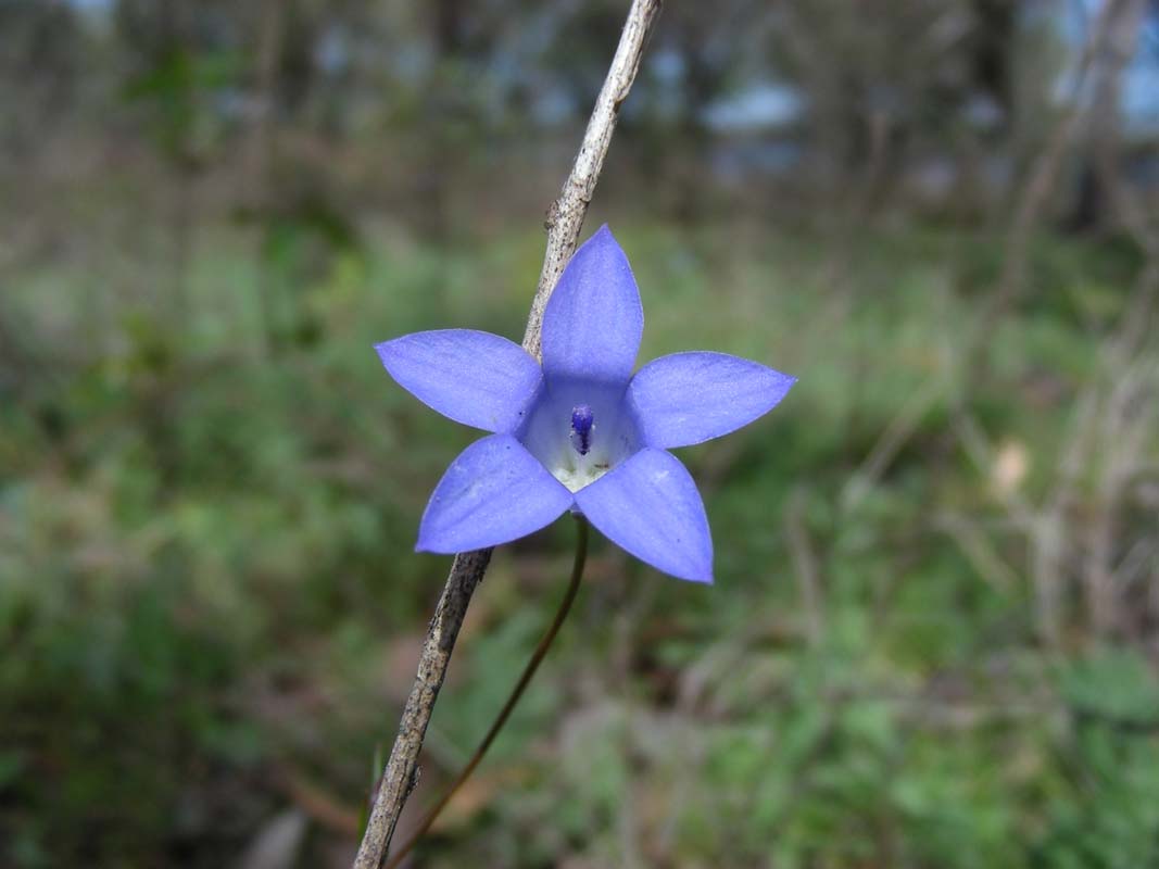
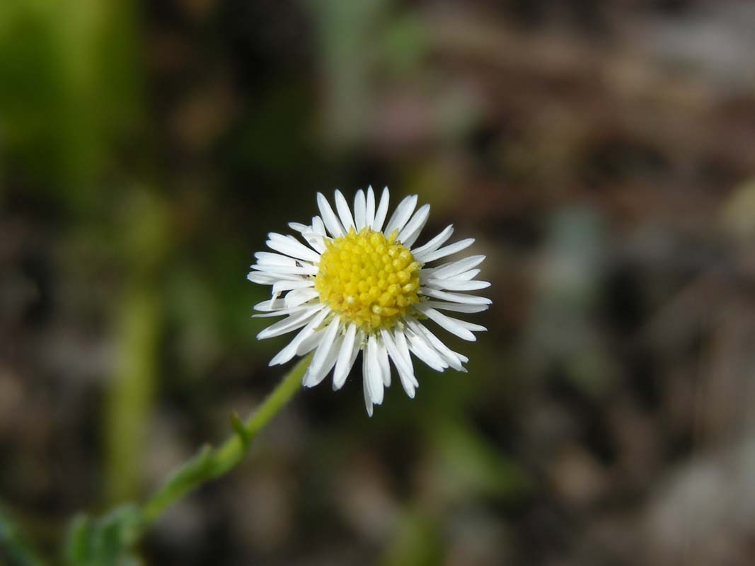
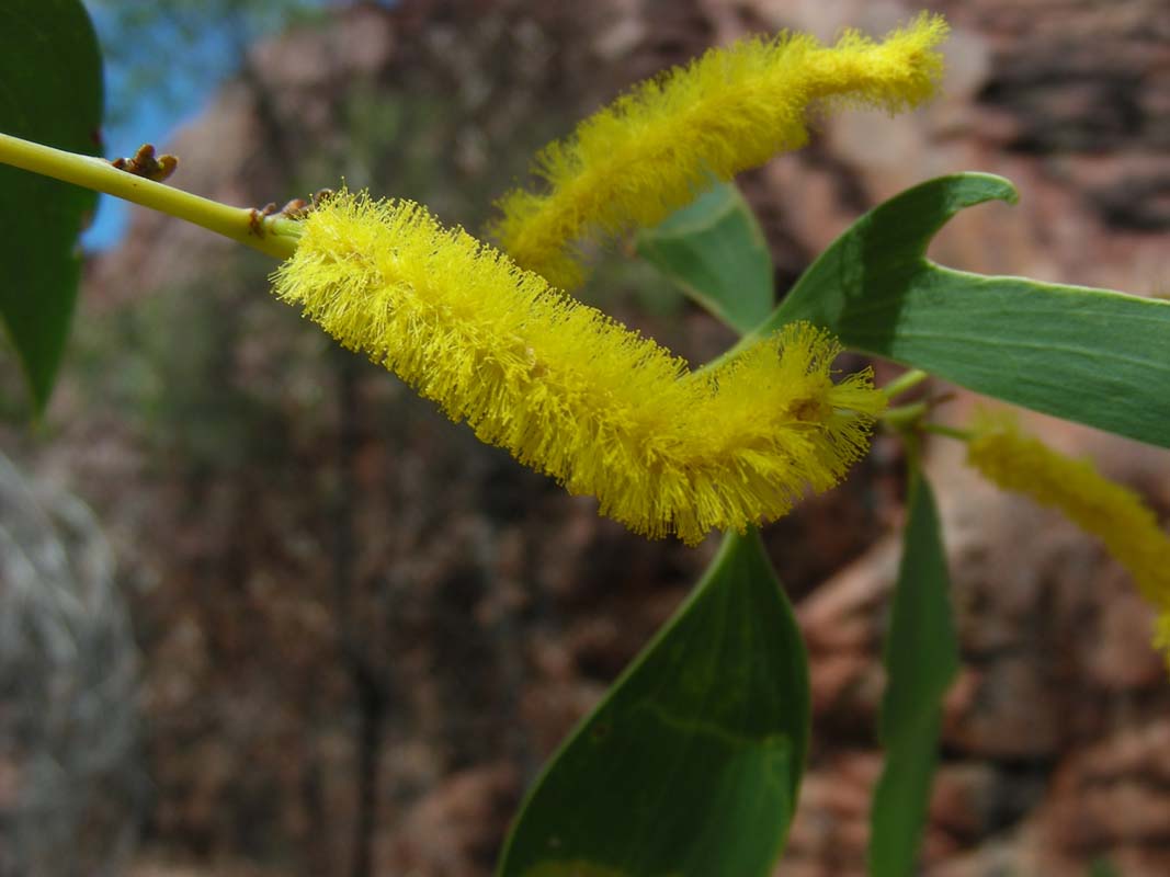
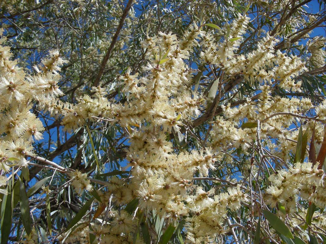
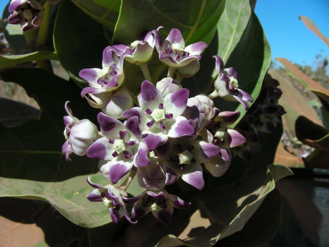
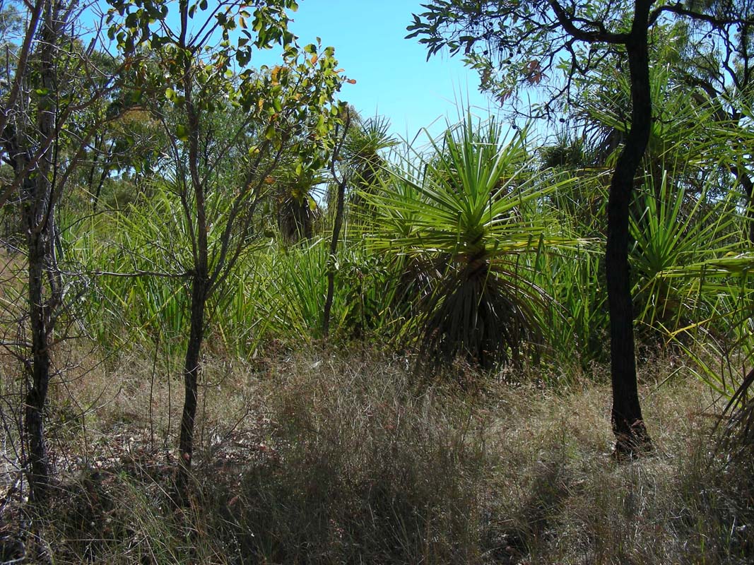
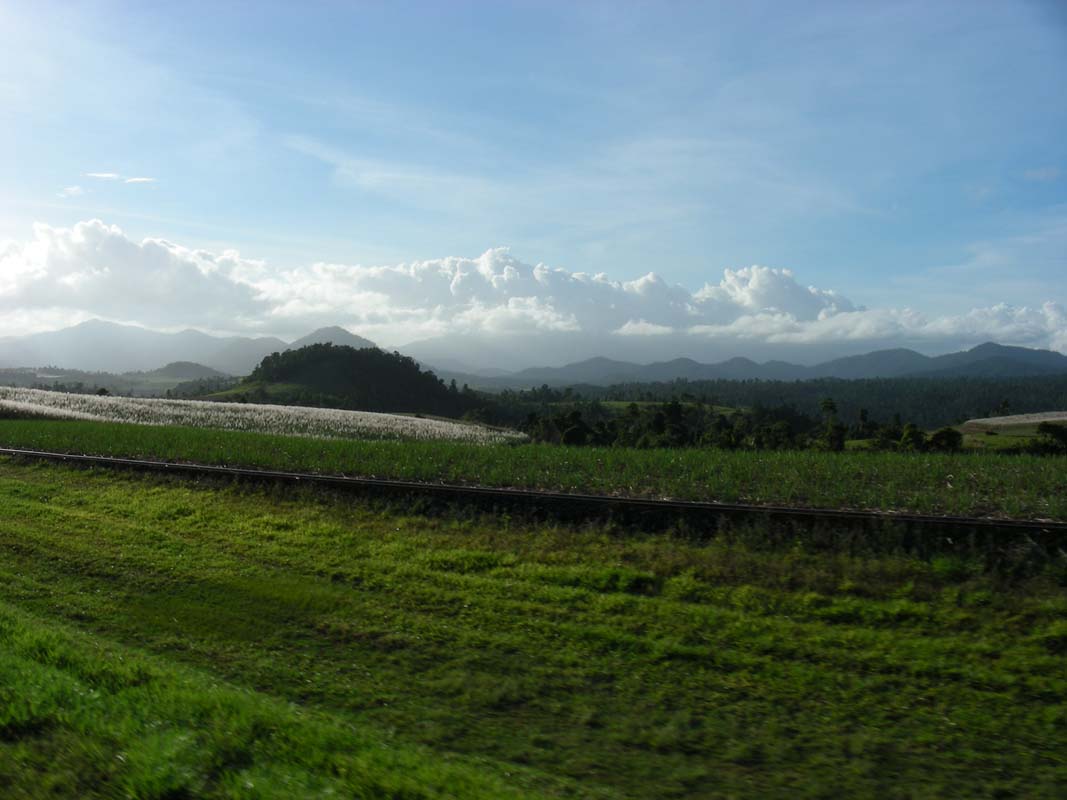
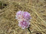
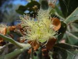
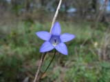
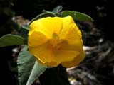
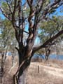
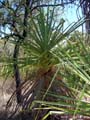
After Alyuen the spring flowers start appearing on the
side of the road.
The white and bluish cushions of flowers
look pretty on the red sand.
A few kilometers later Buffel grass
(Cenchrus ciliaris) becomes dominant at the side
of the road and the flowers disappear.
The native flowers don't seam to
stand much of a chance against this grass that is native
to Africa and south western Asia.
Buffel grass was introduced
for erosion control and as a pasture species as it can
withstand heavy grazing.
Its spread has gotten out of control and Buffel
is now widely regarded as a weed.
(see
www.weeds.org.au
for more details)
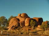
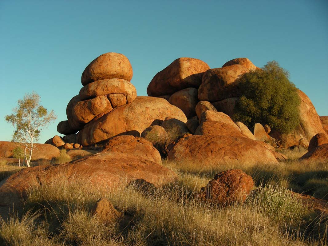
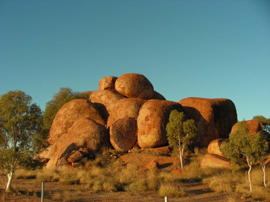
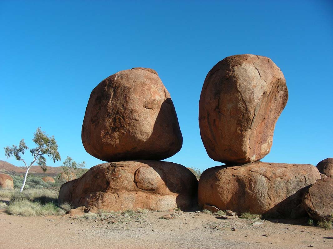
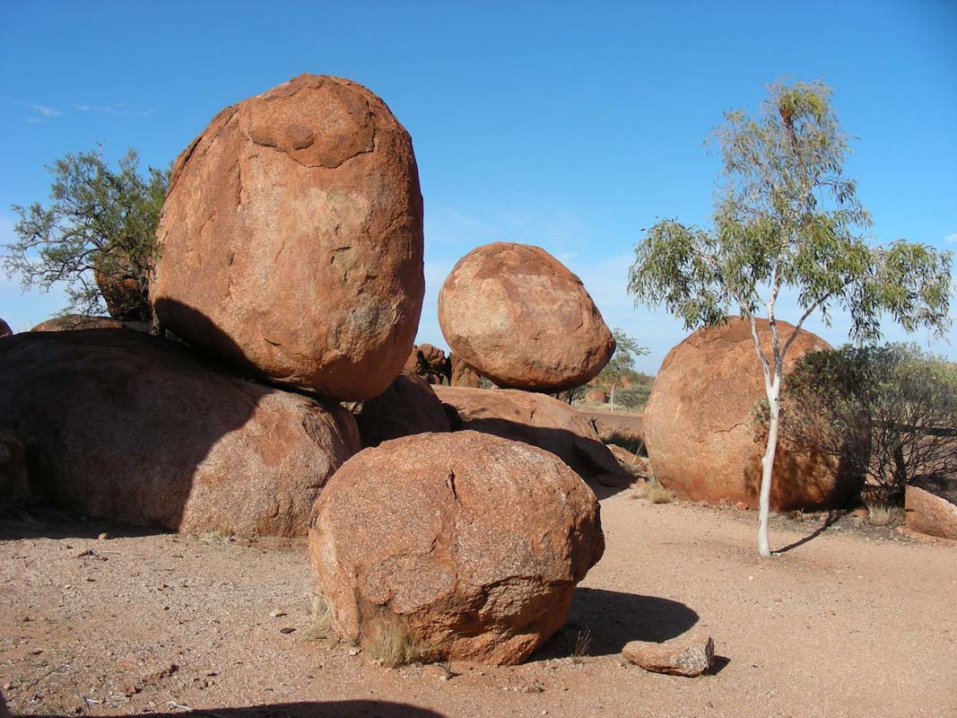
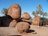
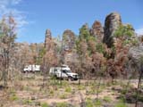
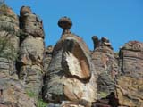
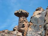
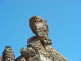
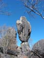
We continue on and stop for the night at the Devils
Marbles Conservation Reserve.
We stroll through the rocks but cannot
find the ones pictured in all brochures!
Well, we'll look for them tomorrow.
After a cold (6.5°C) and windy night on Monday we wake
up to beautiful sunshine.
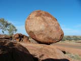
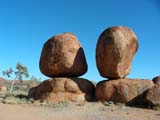
As we drive out of the reserve we see the famous balancing
rocks.
But we only stop for a few pictures; the cold wind is a not
very pleasant companion.
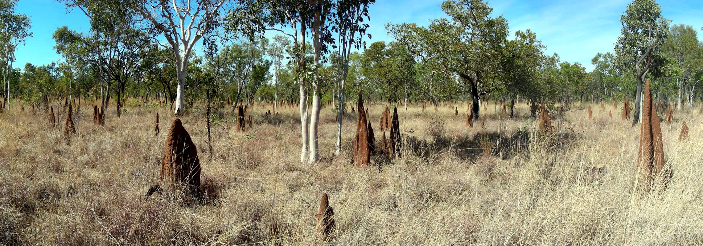
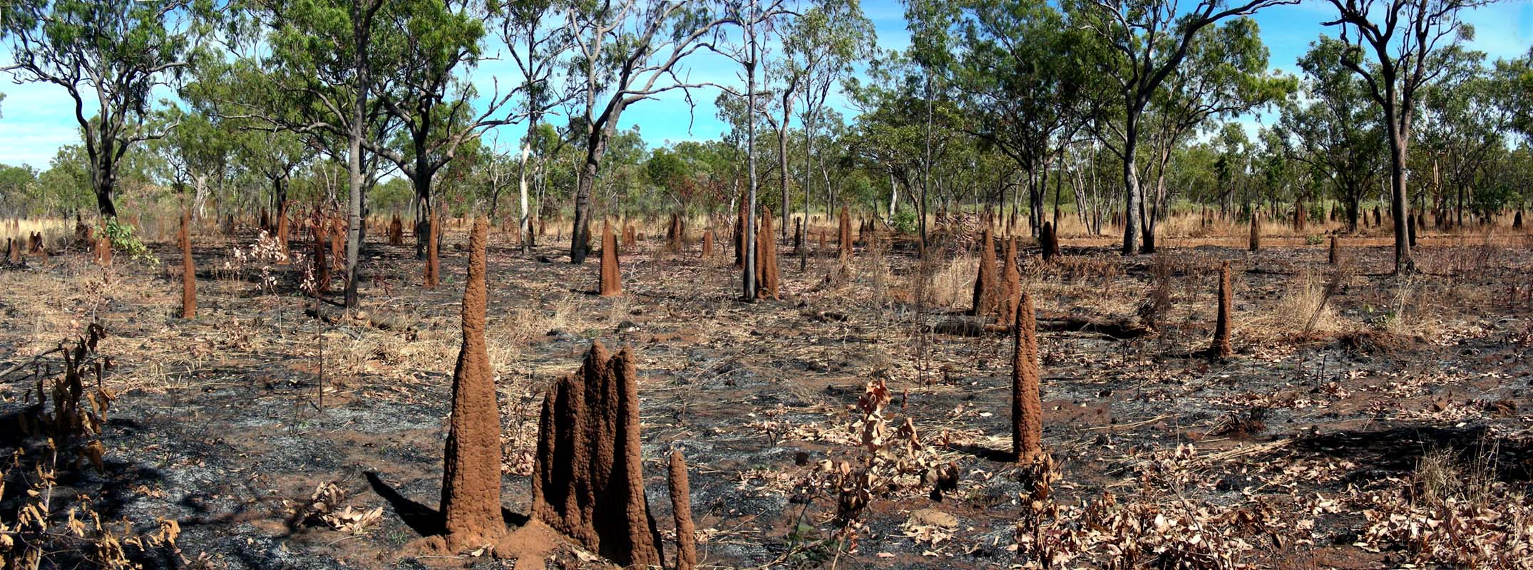
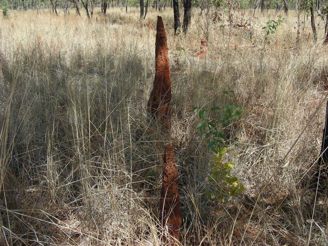
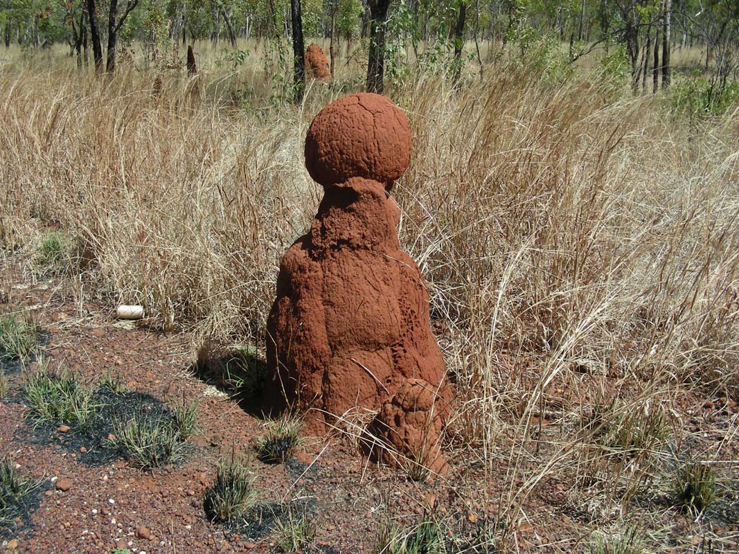
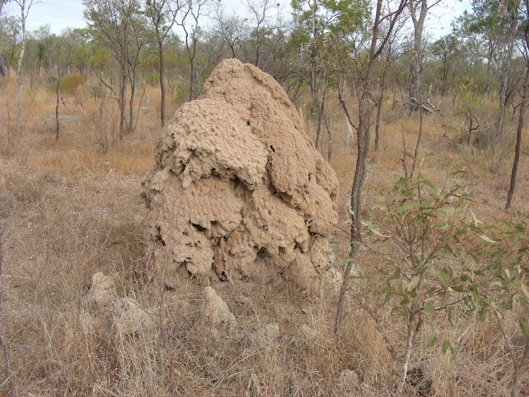
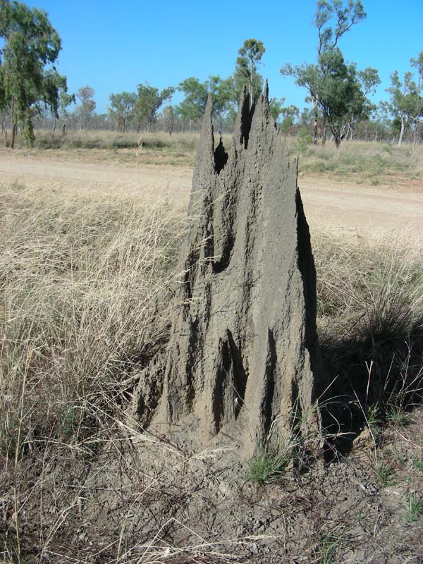
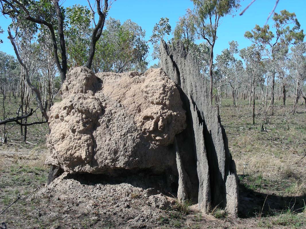
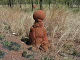
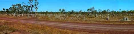
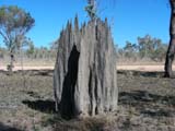
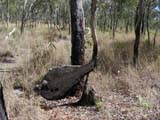
Continuing north every so often we pass areas with lots
of red termite mounts.
Then again there are large areas where none can be seen.
We wonder, what is the trigger for termites to settle or
not ...
Next stop is Tennant Creek, a sleepy little town with an
amazingly well maintained main road with flowers and green
lawns.
The gardens surrounding the mostly wooden houses are well
populated with termite mounts and Susi wonders, why the termites
haven't already eaten the houses.
Maybe they are Spinifex termites and don't eat wood ...?
We don't know but it is interesting to watch.


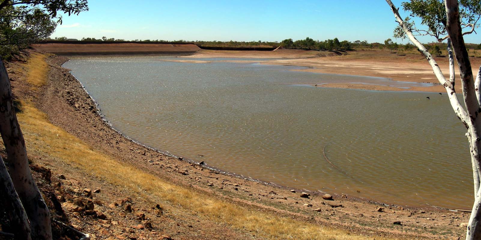
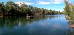
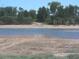
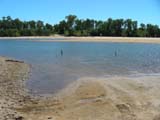
After some shopping we head out to Lake Mary Ann.
The lake is almost dry.
We wonder, where the water that they use in Tennant Creek
to keep those lawns so green comes from ...
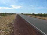
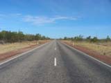

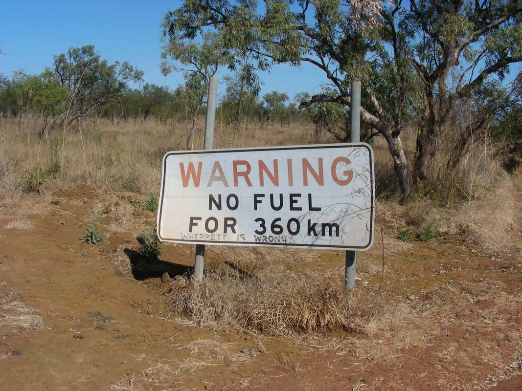
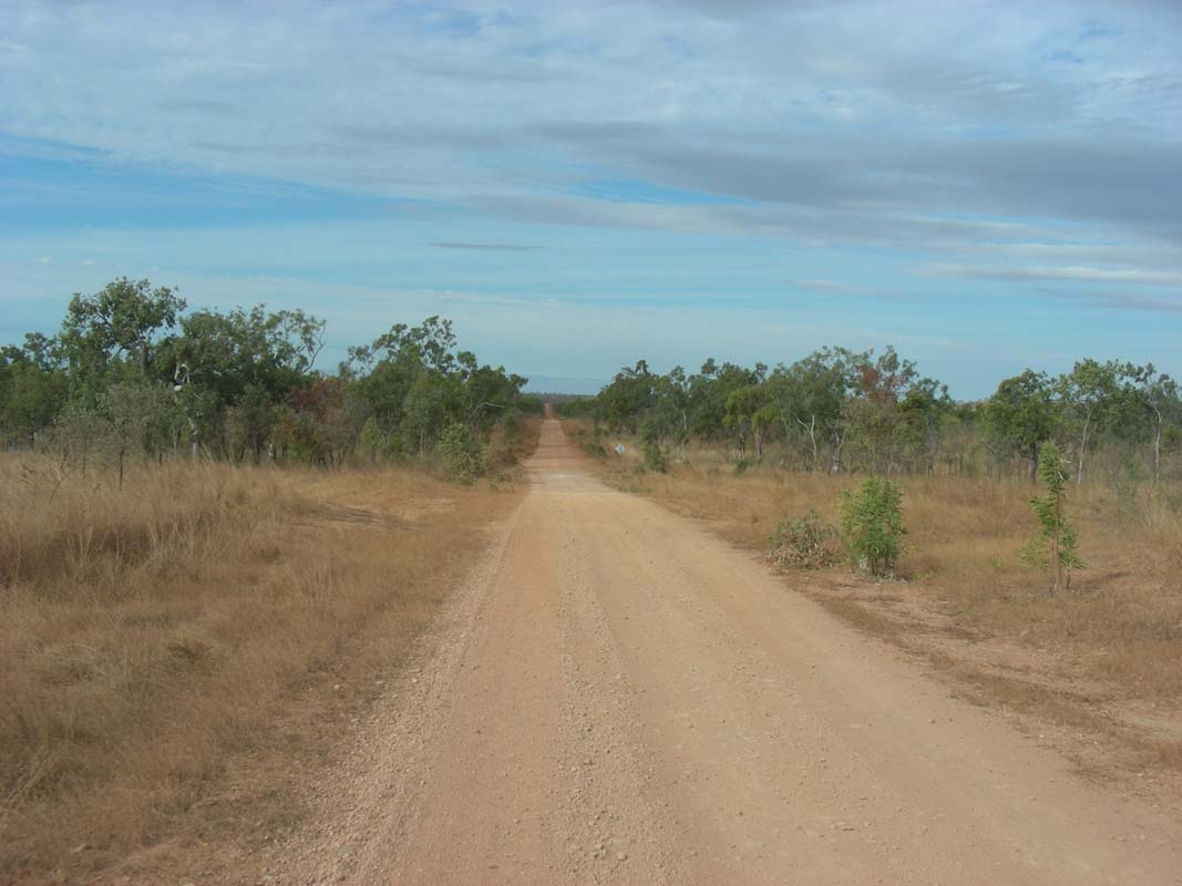
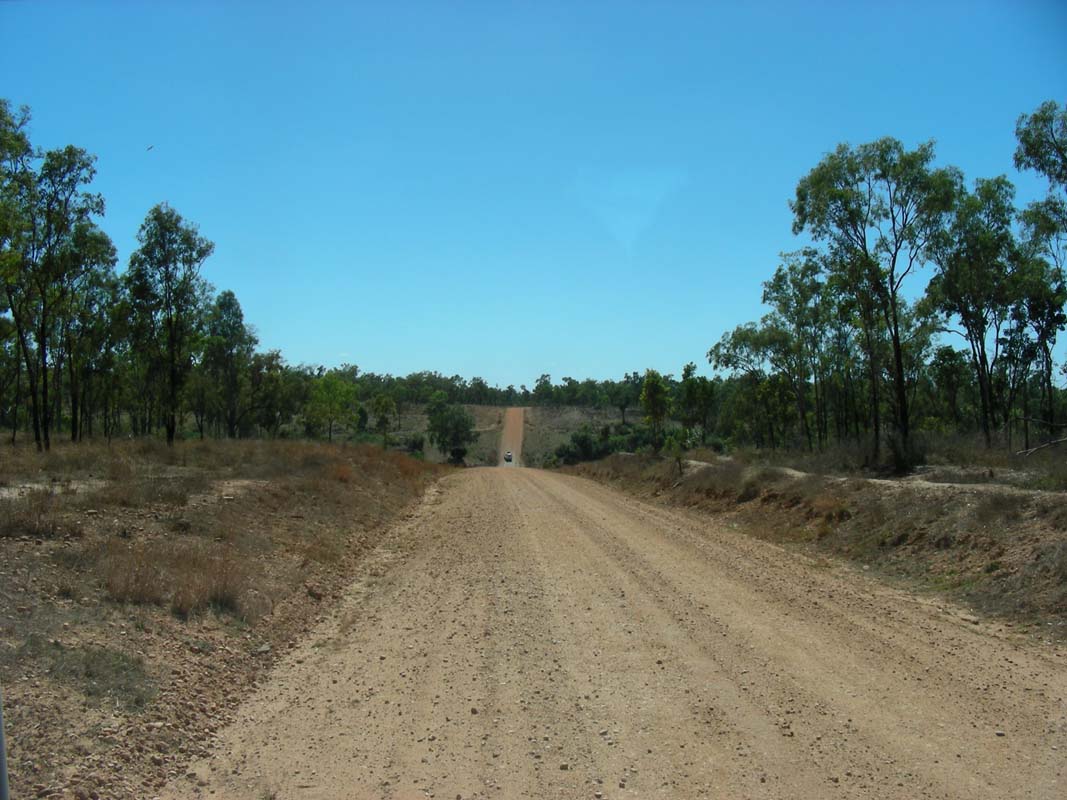
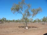
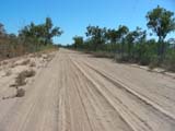
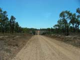
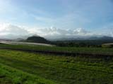
On the endless Stuart Highway we continue on to Elliott.
By now the arid desert like country has changed to a solid
groundcover of shrubs, some Spinifex and lots of Buffel
grass, but there are almost no flowers to be seen.
We would like to visit Longreach Waterhole but are not
successful in finding the way to it.
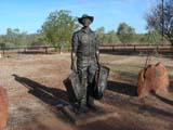
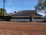

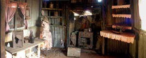
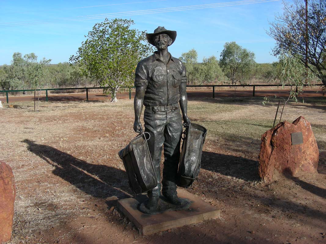
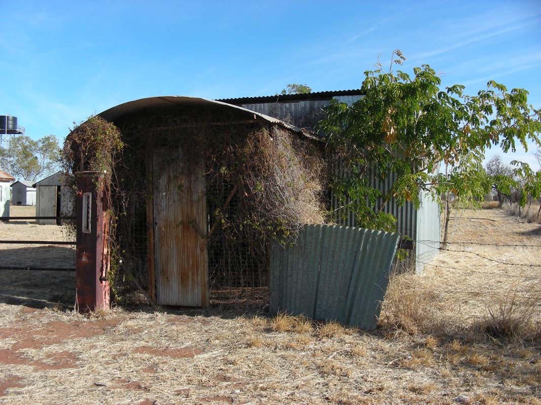
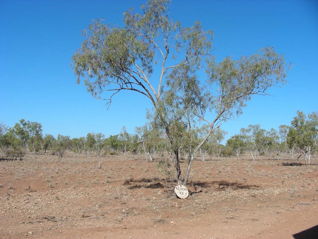
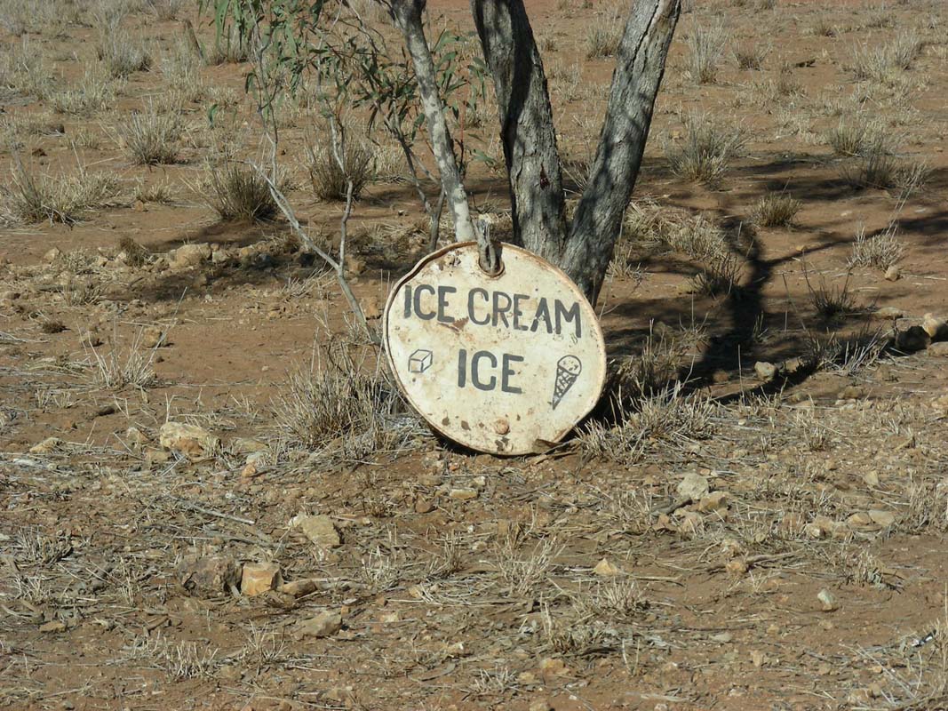
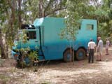
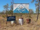
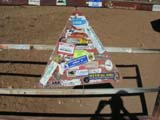
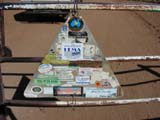
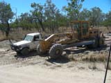
So we continue on to Newcastle Waters where we find some
interesting memorabilia.
For more
details
on Newcastle Waters and droving done in this area please
click here.


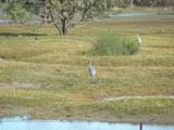
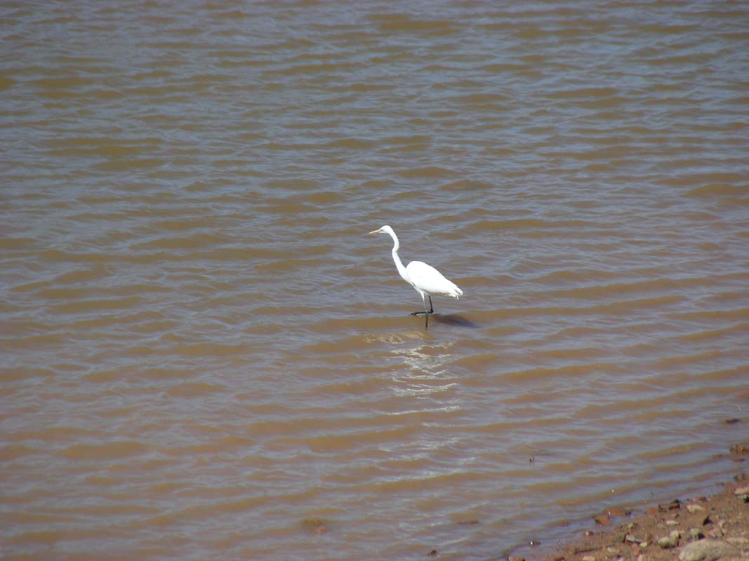
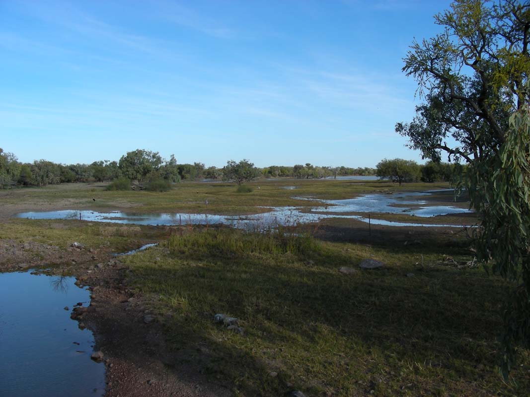
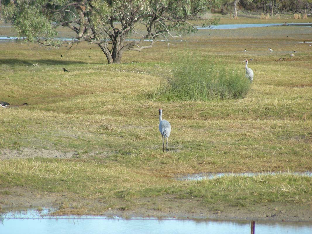
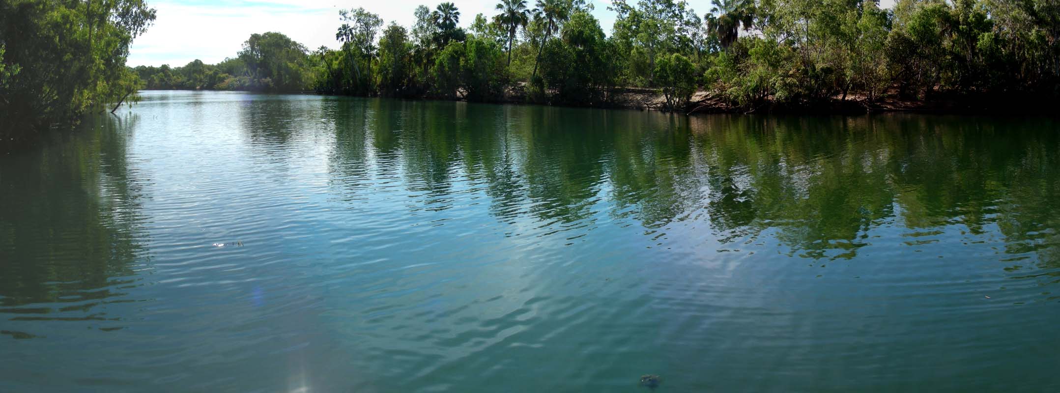
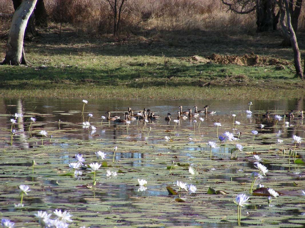
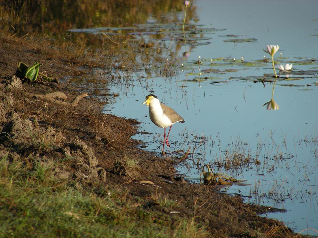
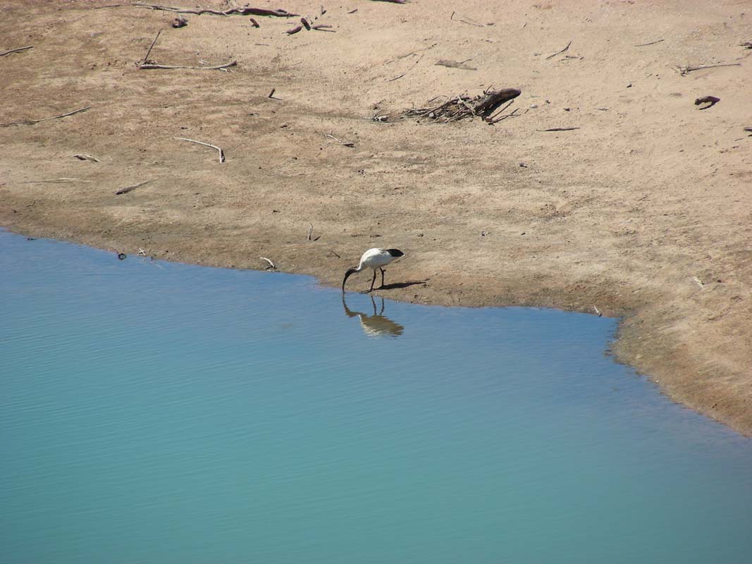
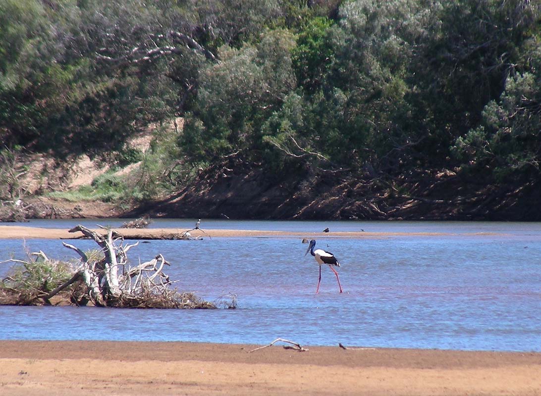
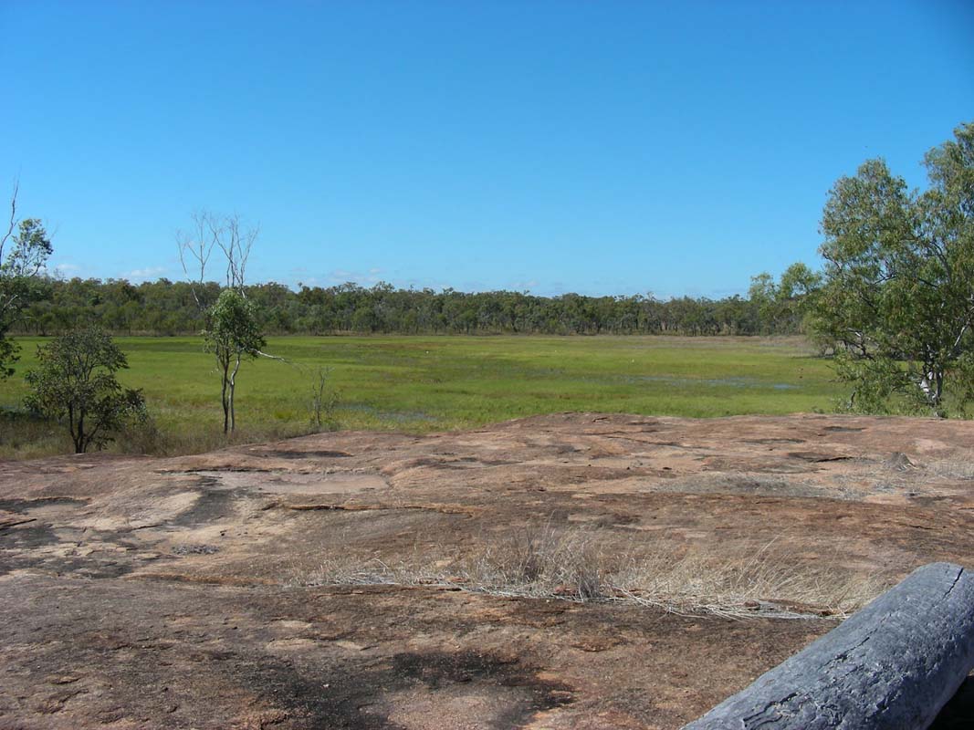
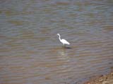
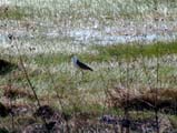
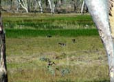
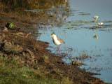
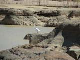
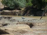
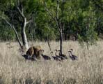
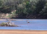
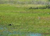
As we leave Newcastle Waters we pass a lagoon and spot
some brolgas.
By now we are so far north that the day-temperatures become
pleasant with 23°C.
That's more to our liking!
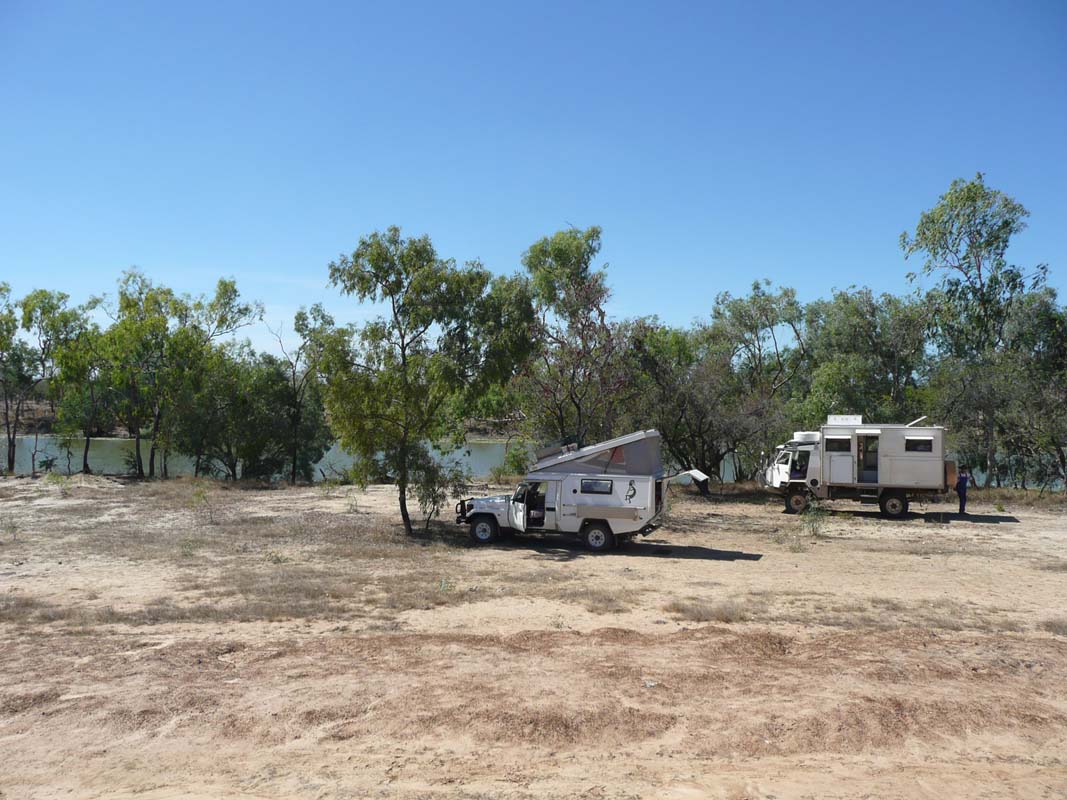
Then we look for a spot for the night and find a suitable
area on a small track leading to a Microwave Tower.
We have found that those Telstra towers are a good place
to check for a spot for the night.
On Tuesday morning after another cold night (7°C) we
are soon on our way further north.

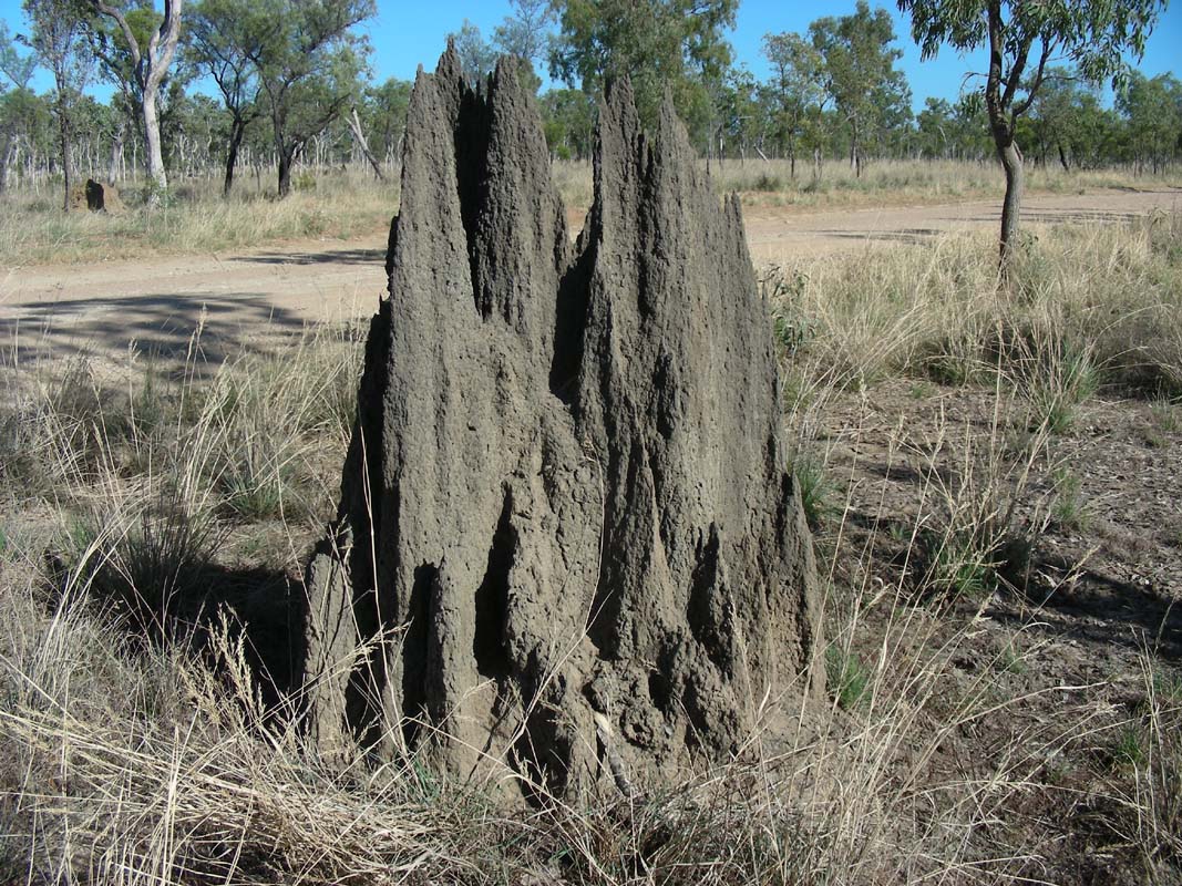
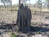
For a long time we drive through light forests with an incredible
amount of termite mounts.
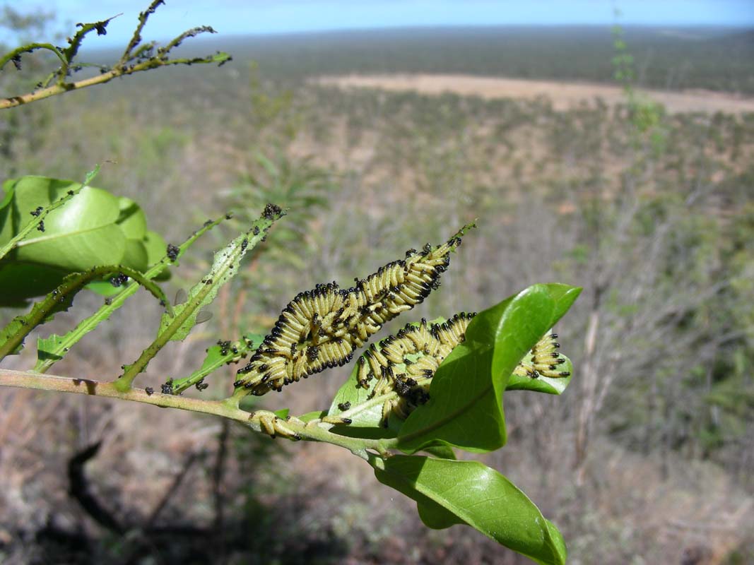
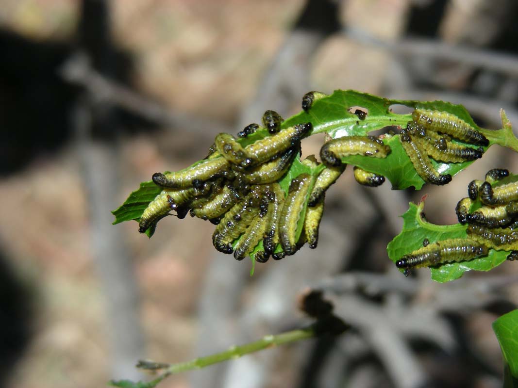
They are brown coloured which indicates a change in soil.
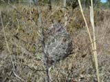
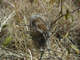
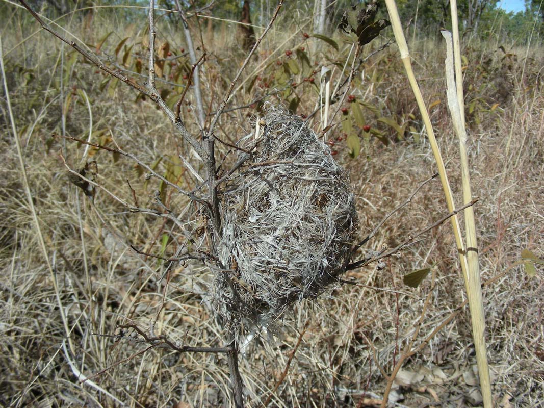
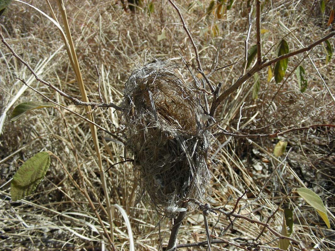
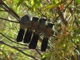
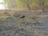
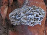
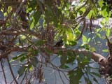
We also find this small bird's nests in the high grass but
have no clue, what bird could have built it.
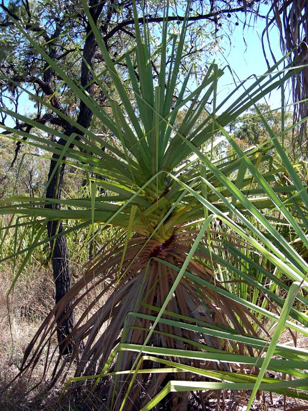
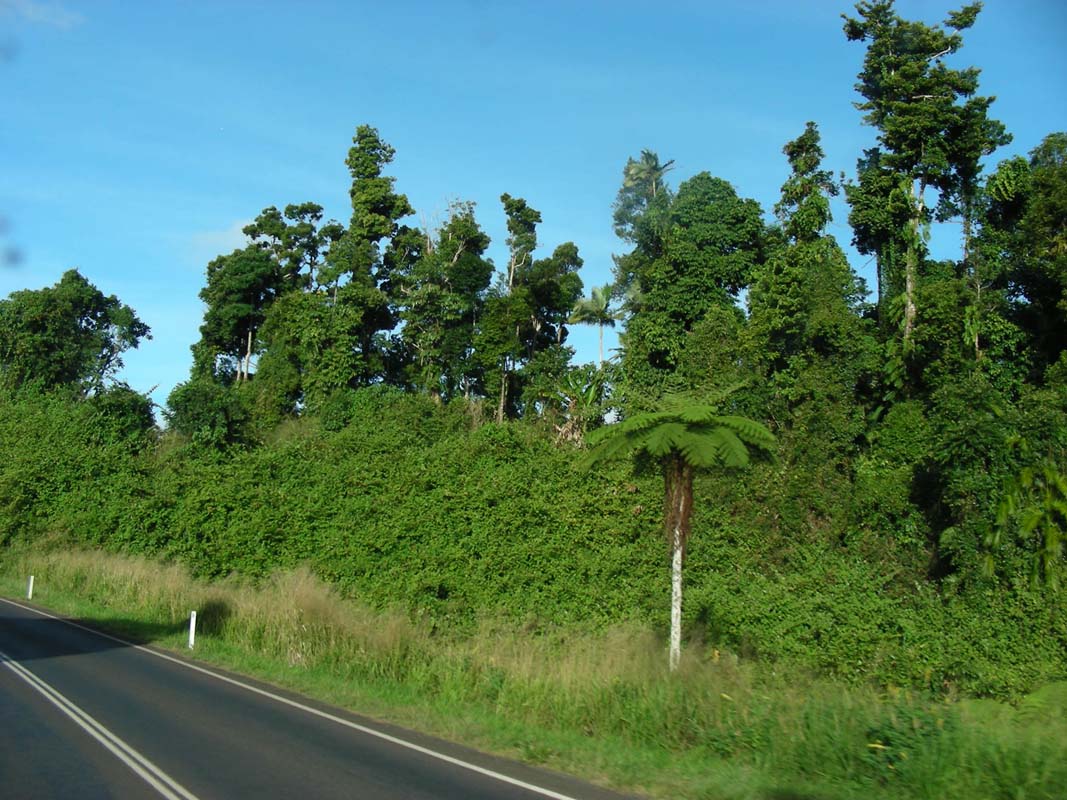
More and more the Mulga is replaced by Eucalyptus, the
country turns greener and greener.
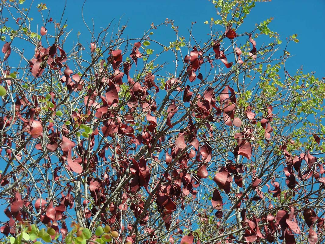
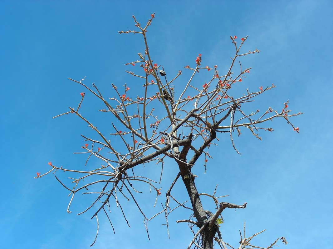
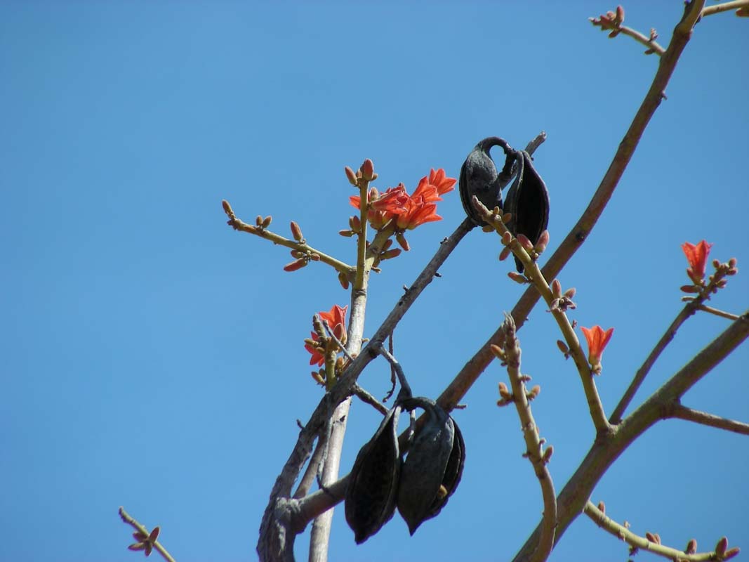
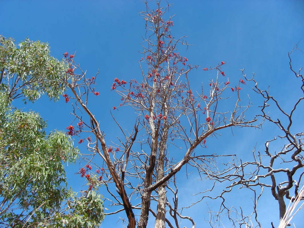
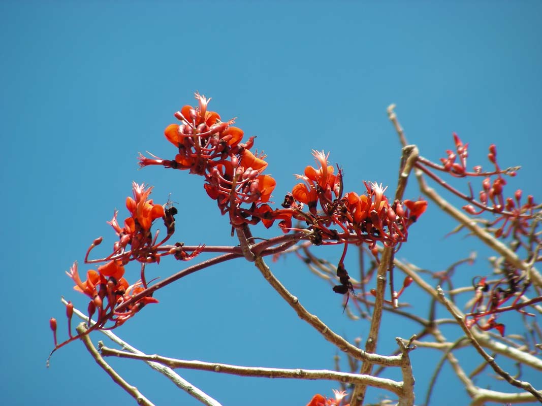
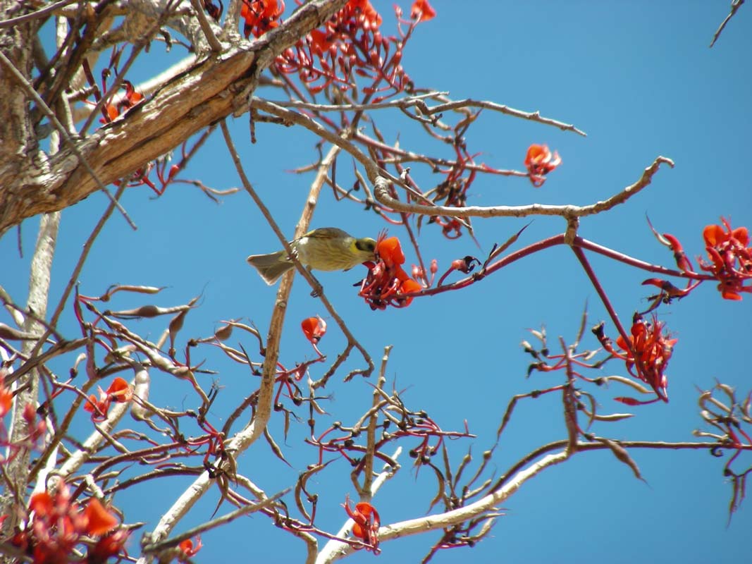
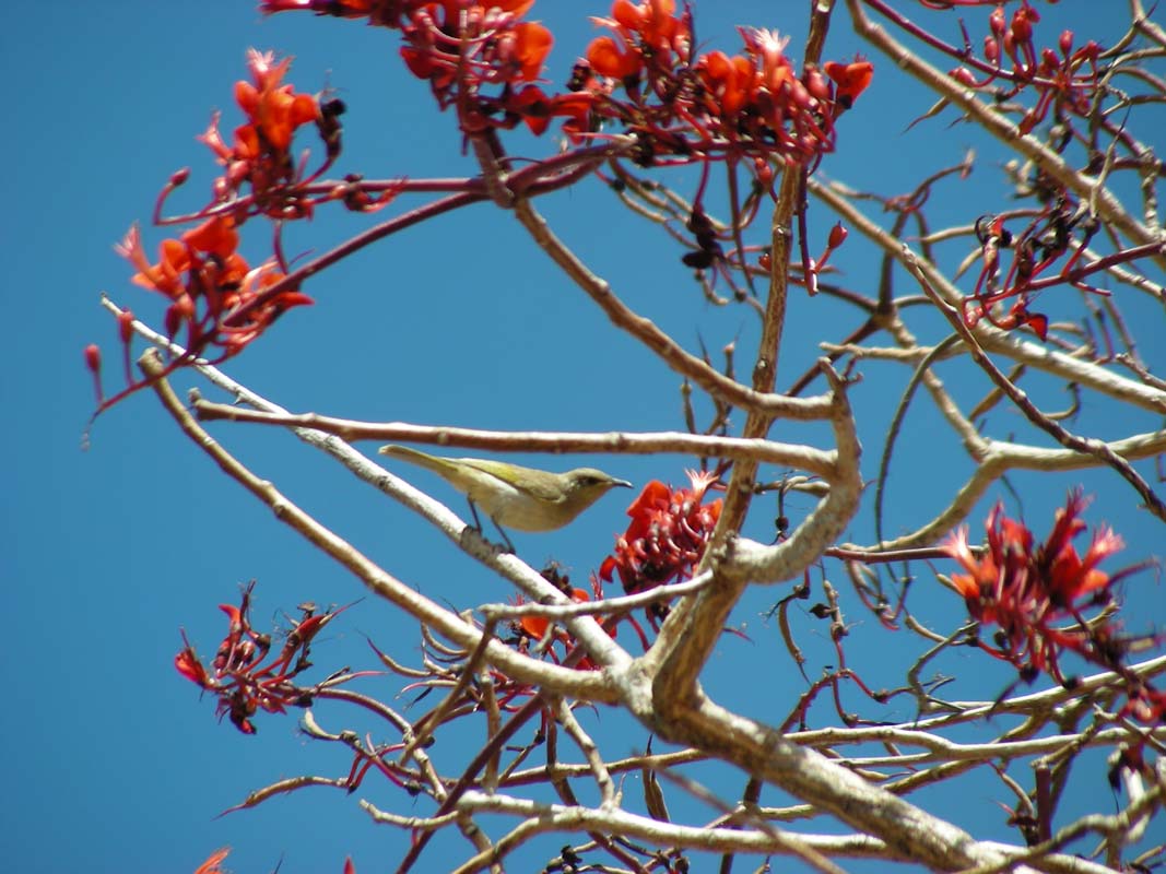
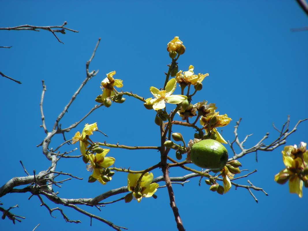
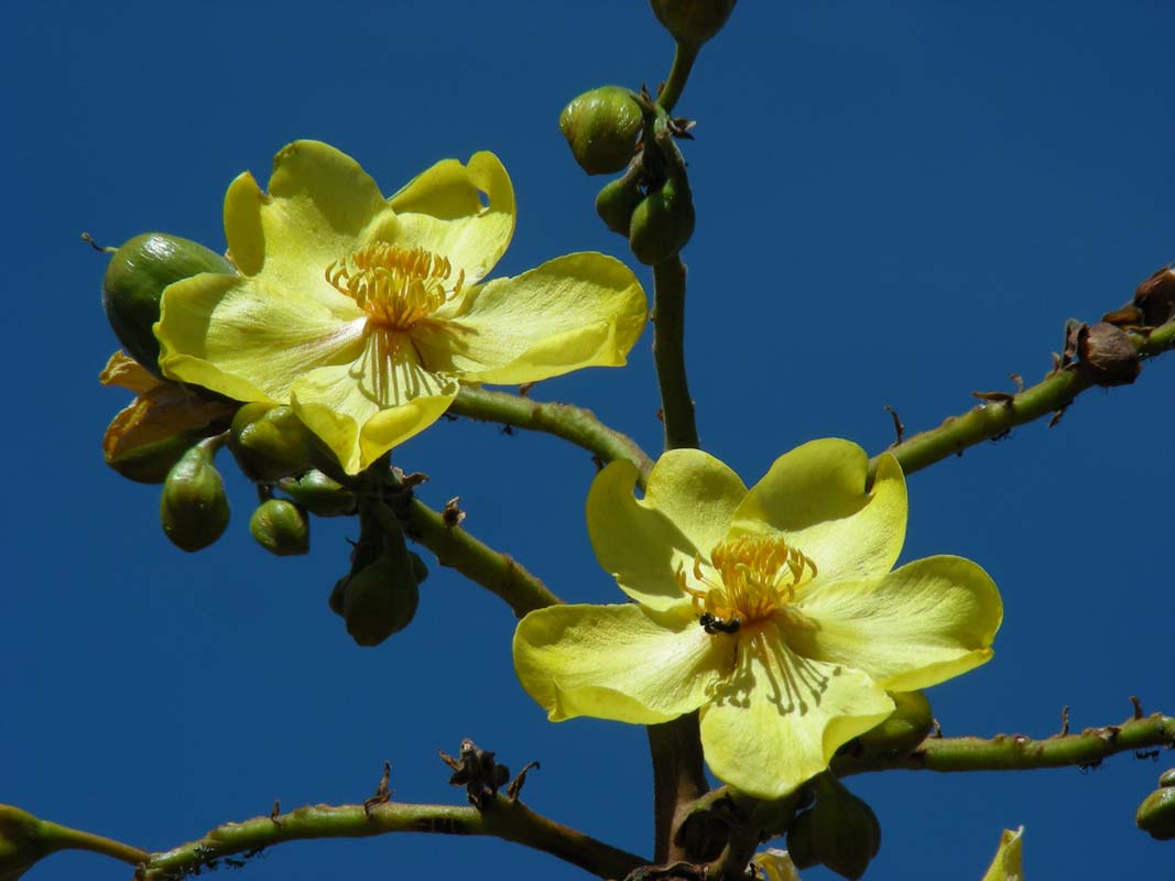
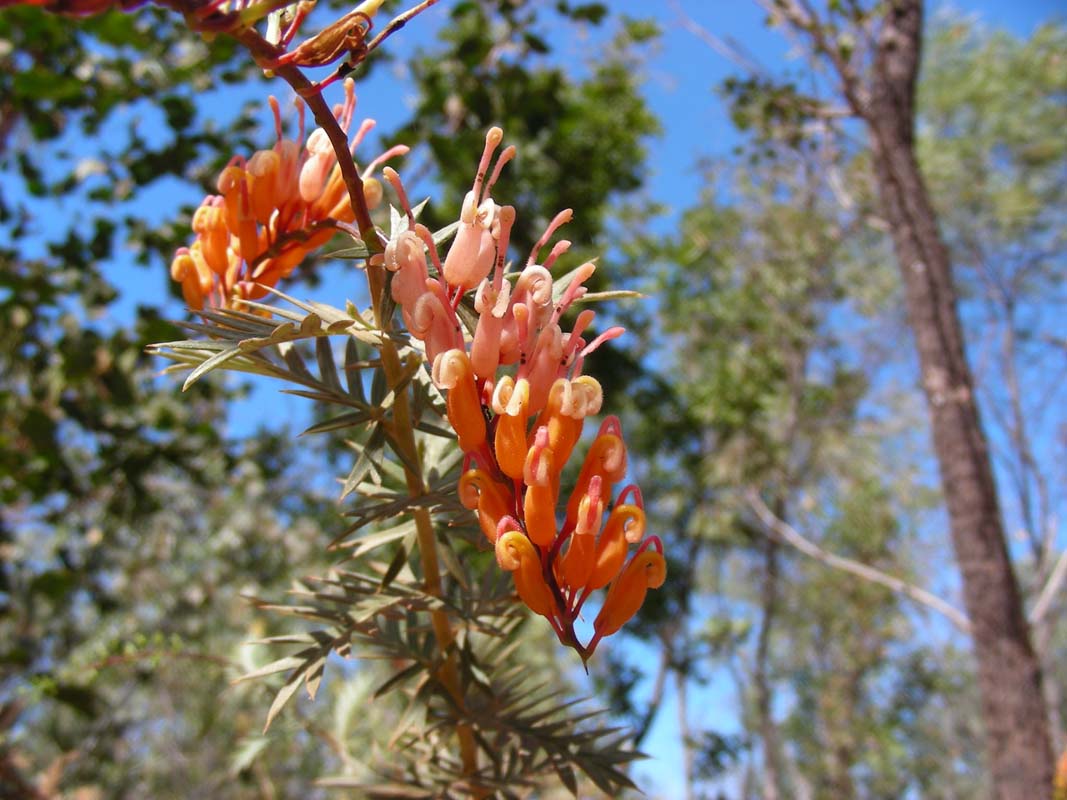
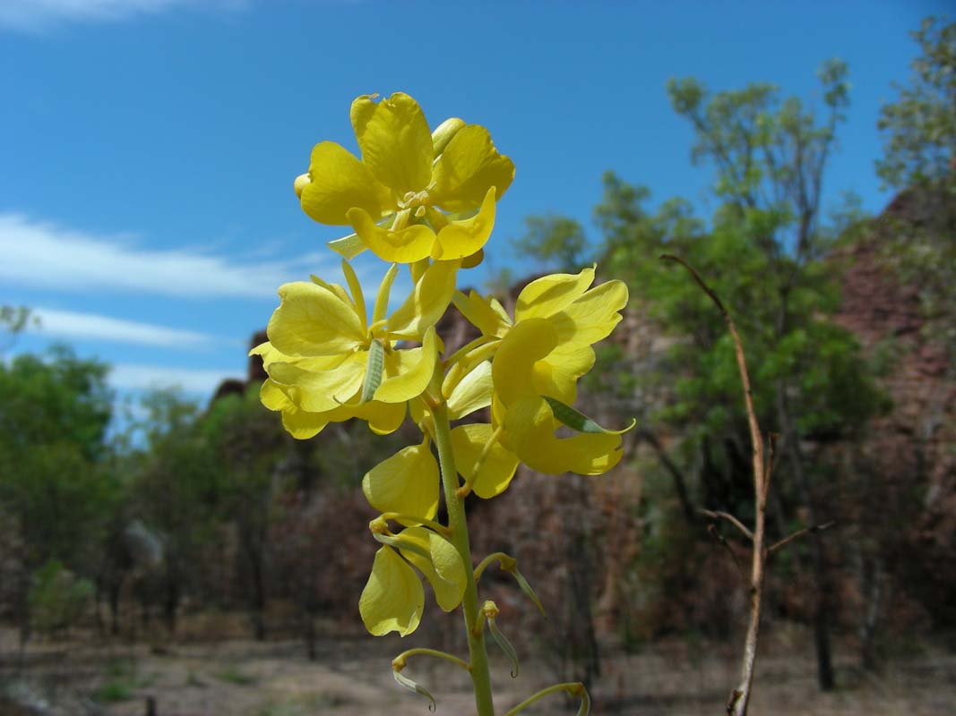
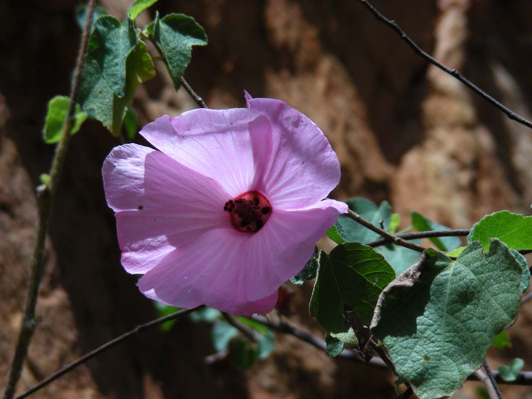
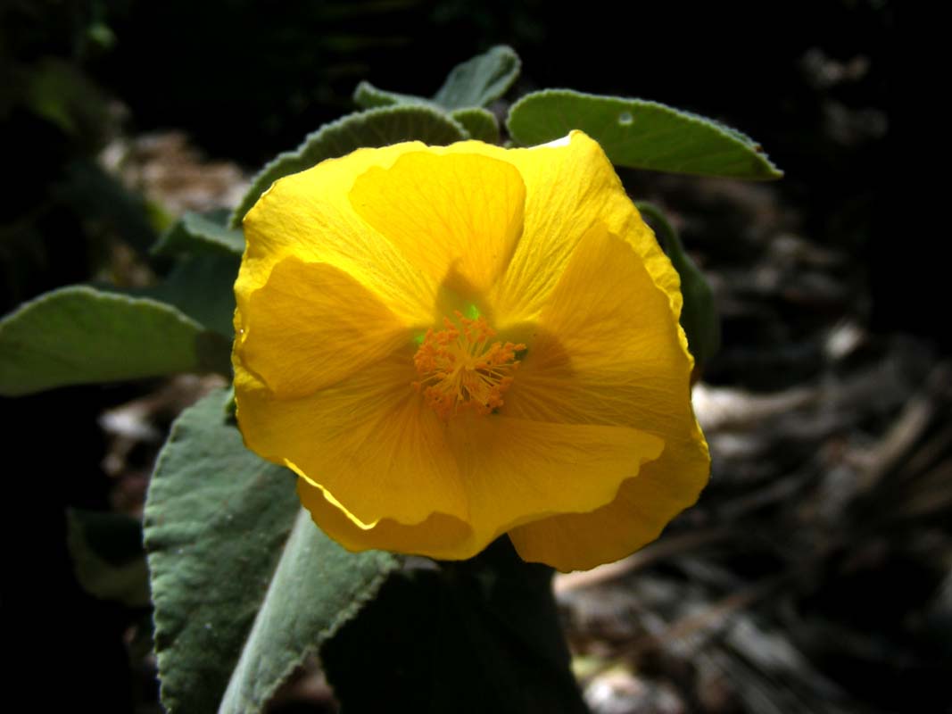
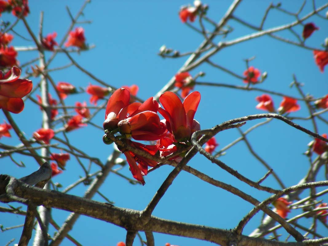
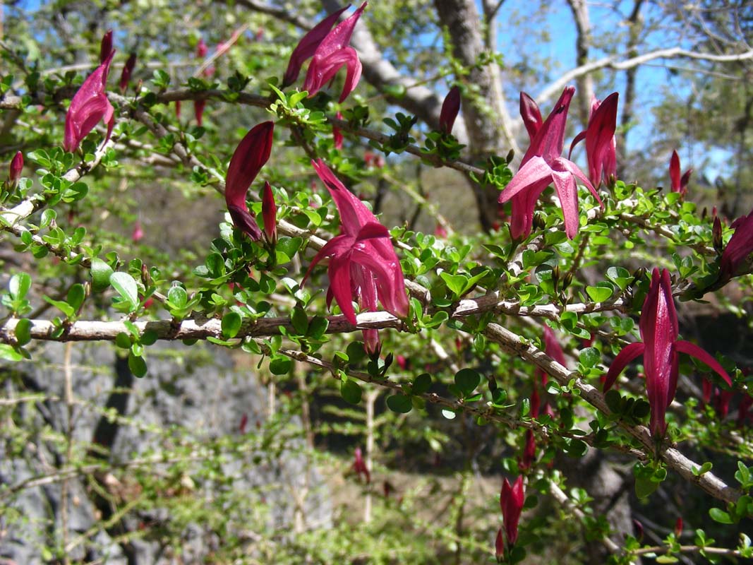
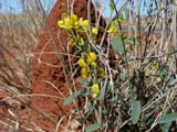
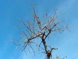
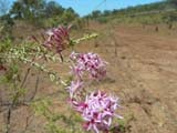
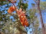
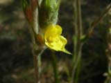
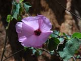
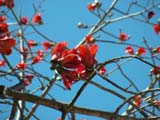
After Daly Waters amongst the green colour of the trees some
red starts appearing too.
When looking a bit closer we realise that "red" is
not equal to "red" ....
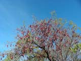
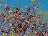
... there are many varieties of plants producing red "parts" ...
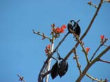
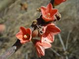
... one of the flowers has a striking resemblance with
the Kimberley Rose ...

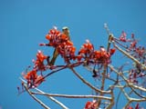
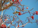
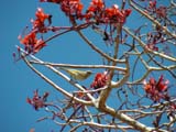
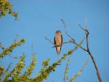
... another one seems to have lots of nectar and attracts birds
....
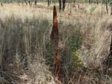
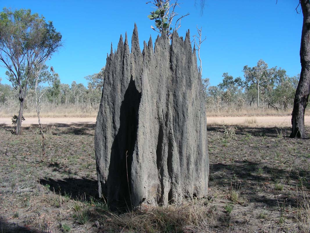
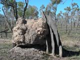
Further north the termite mounts start changing their shape
from long thin mounts to round ones.
They exist side by
side ..... one wonders, which shape is the "correct" one
....
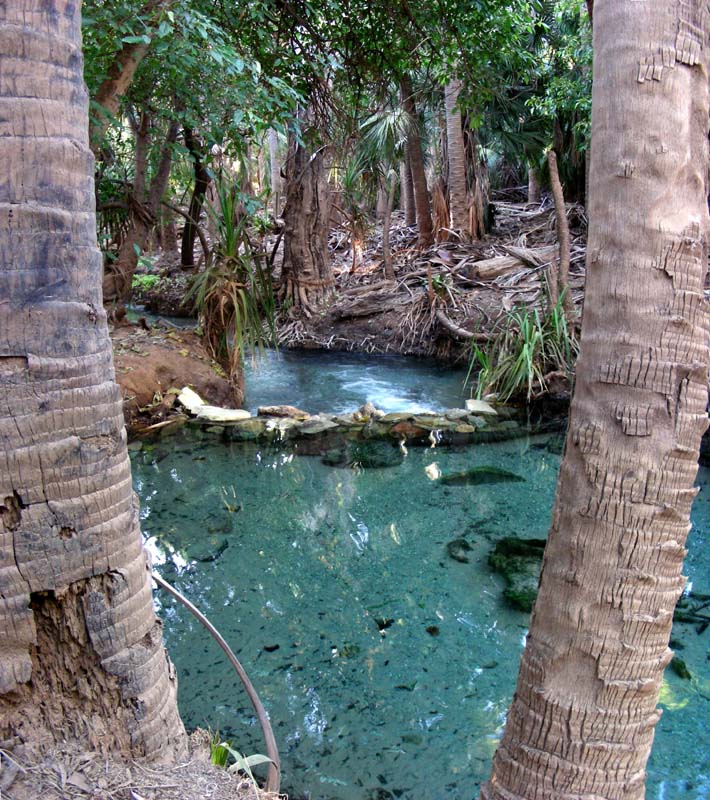
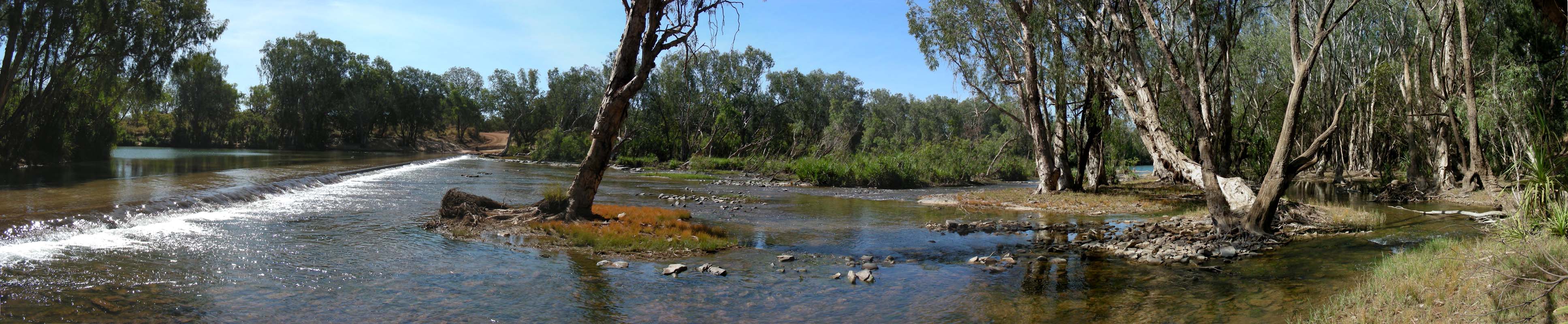
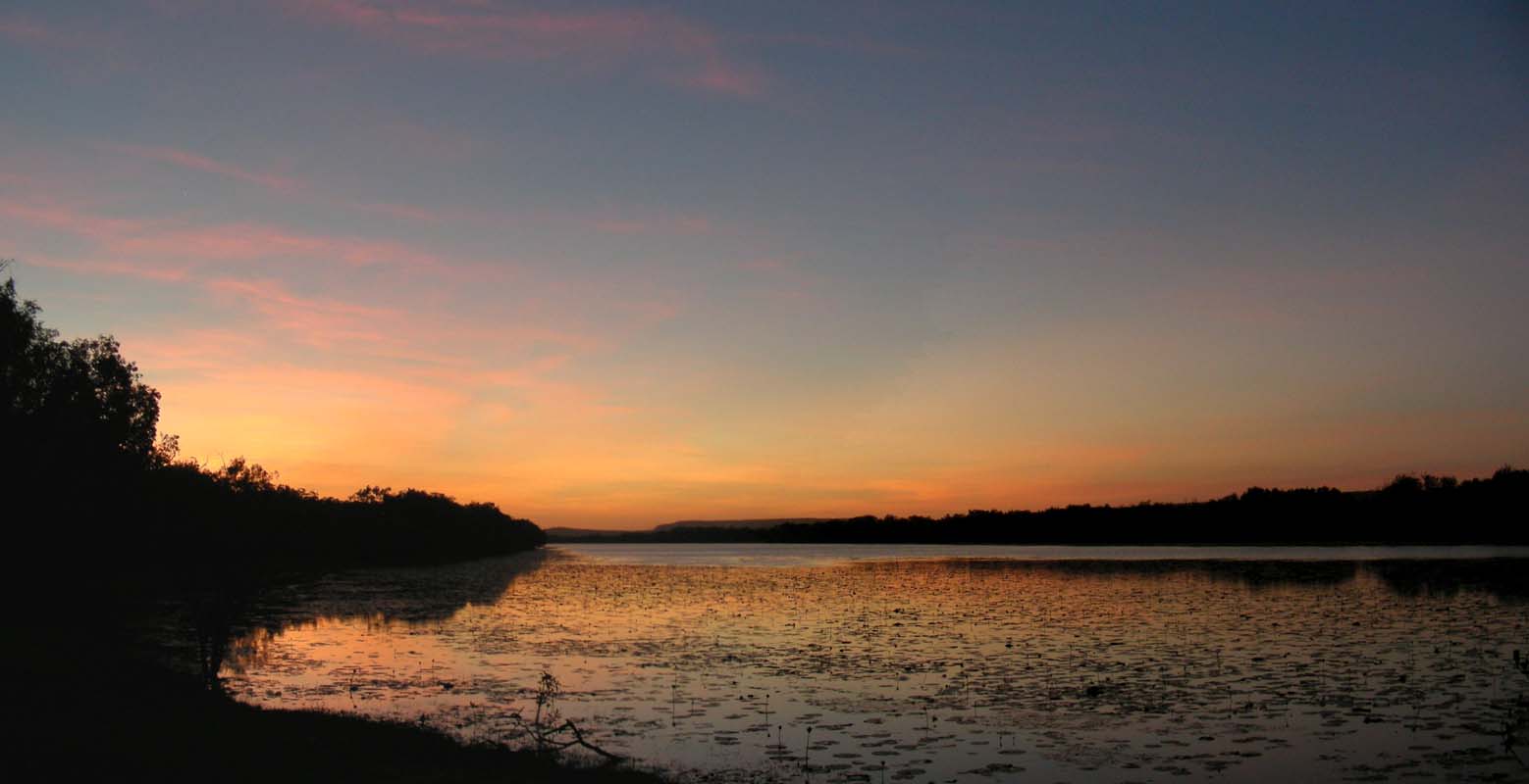
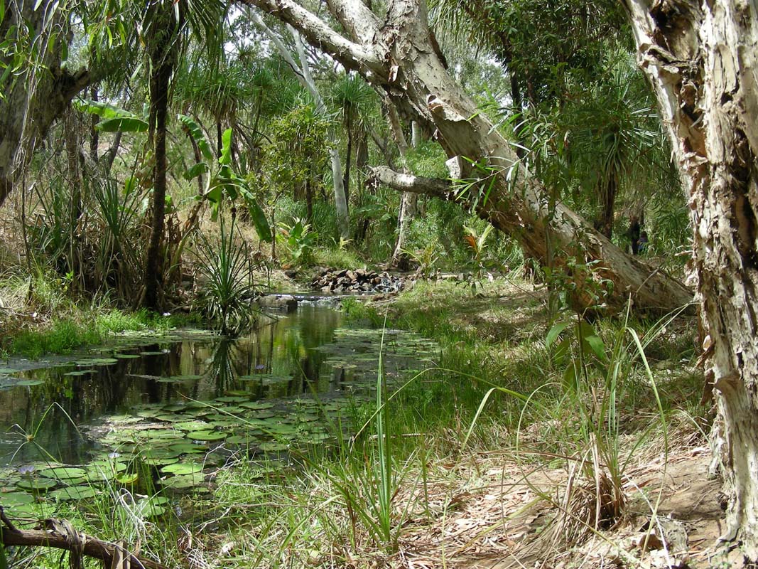
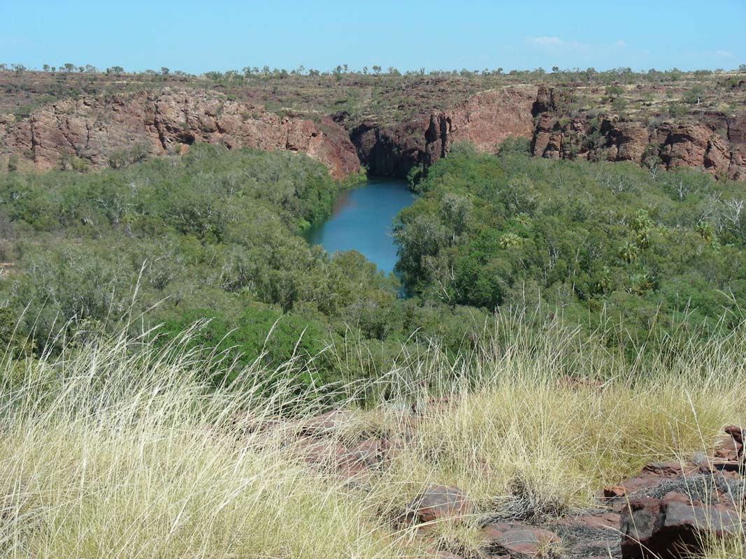
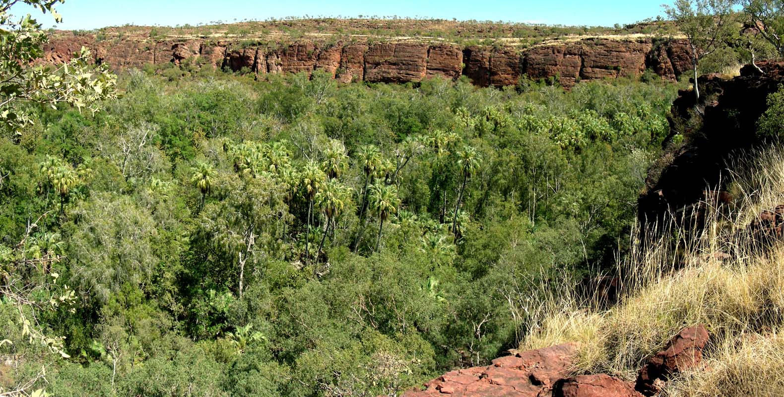
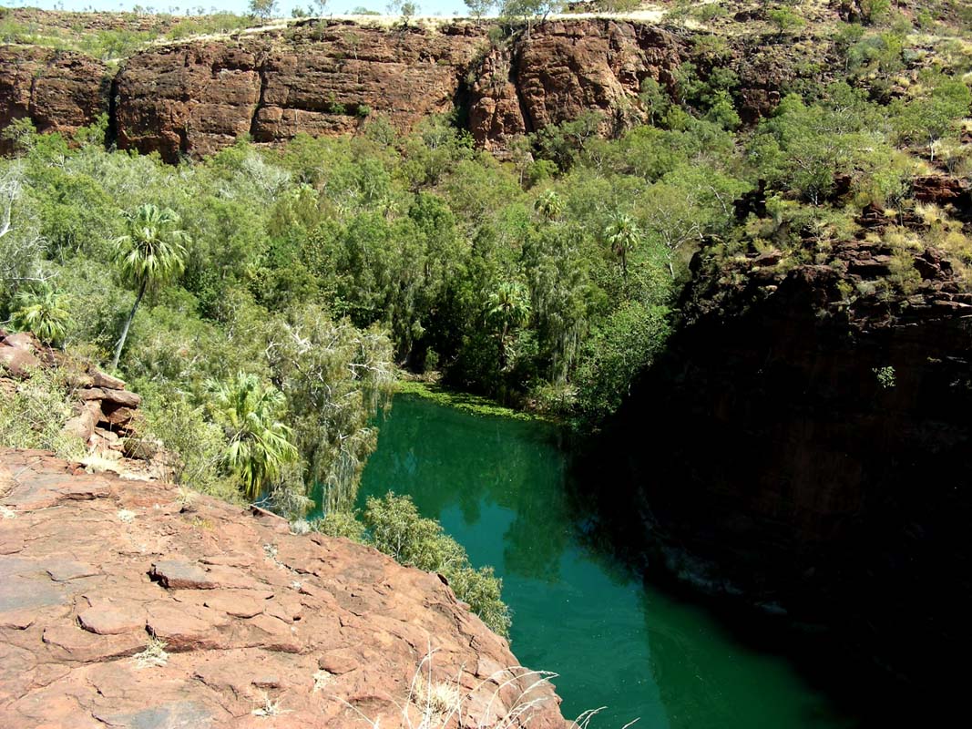
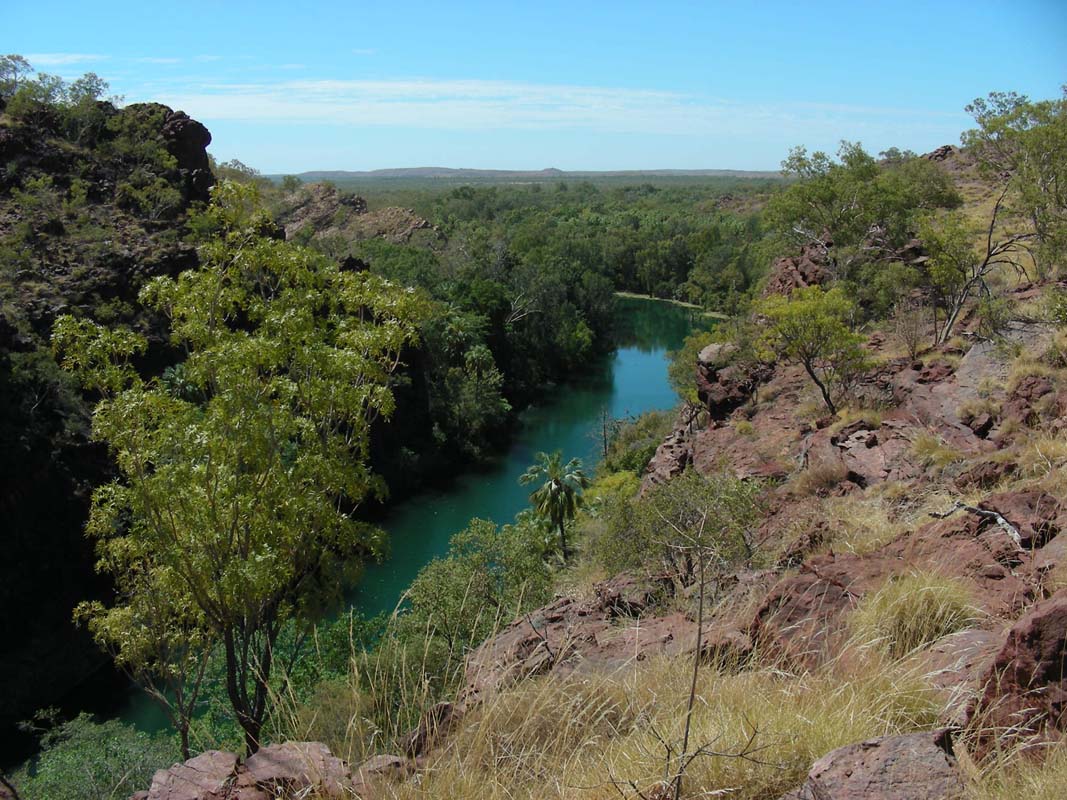
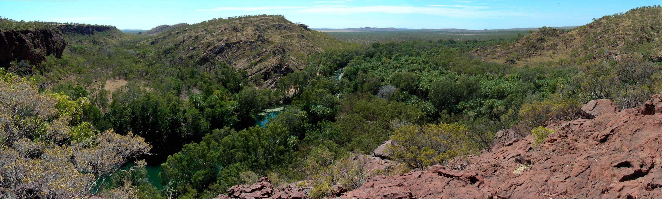
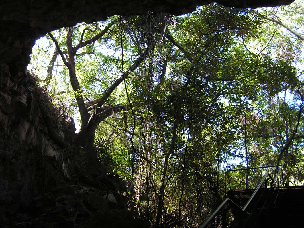
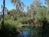
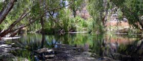
Then we reach Mataranka where we decide to head out to the
Jalmurark Campgrounds in the Elsey National Park and stay for
the rest of the day and the night.
By now the temperature has risen to beautiful 28.5°C
and we cannot wait to go for a dip!

But the water of the Waterhouse River (later on
Roper
River) is
not really warm; one can hardly feel that warm thermal water
flows into it a bit
further upstream.
This is too cold for us so we turn around and head back to
the Mataranka Homestead.
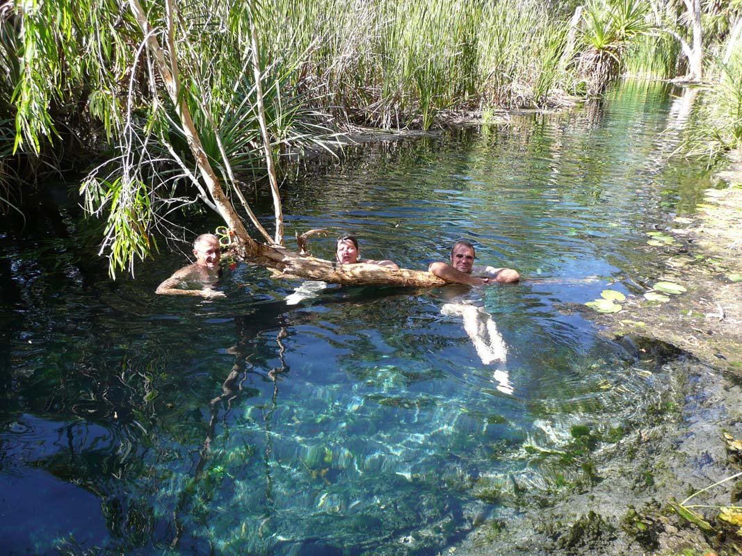
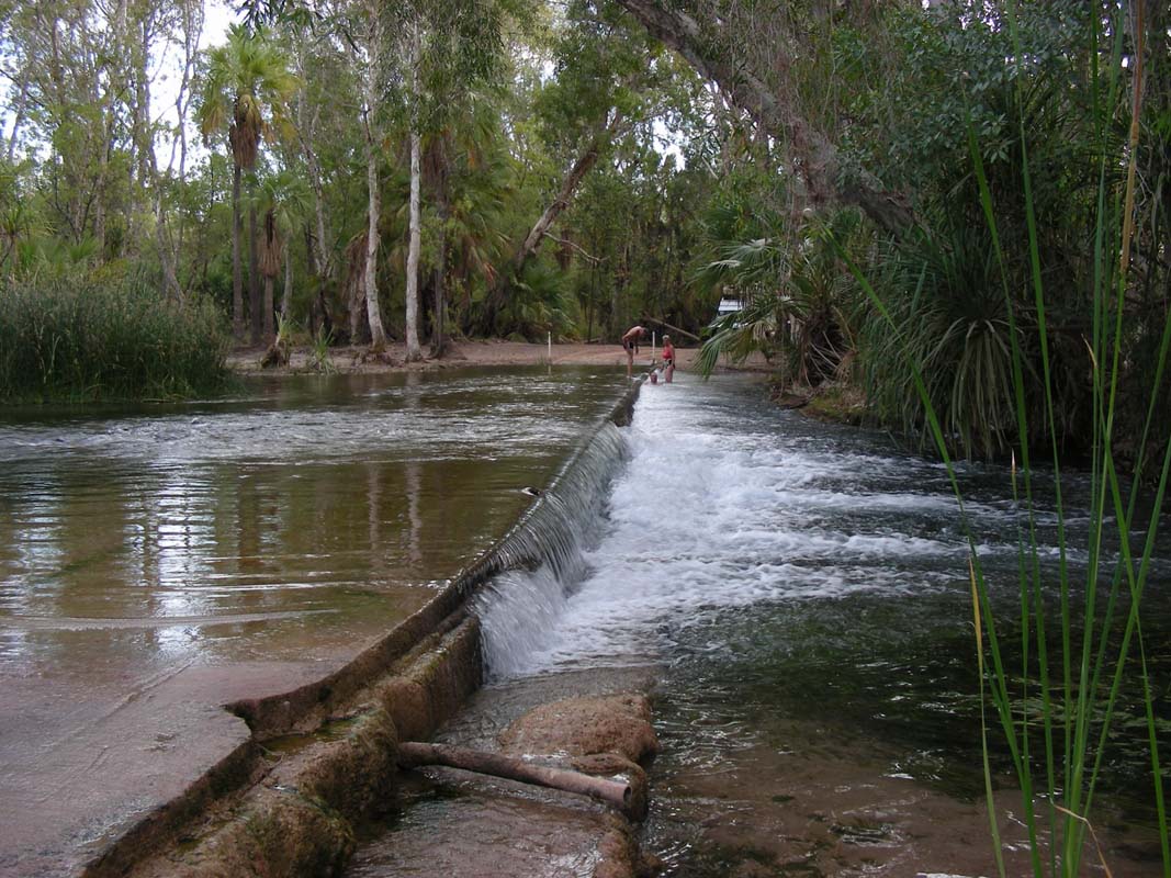
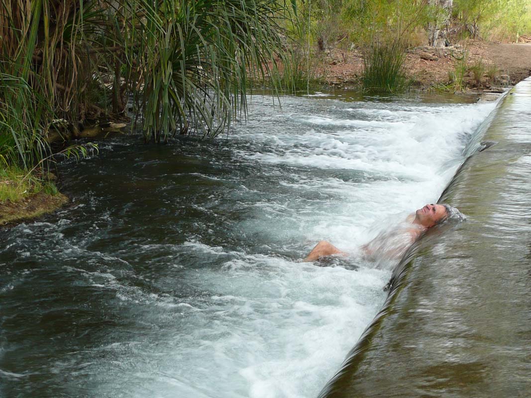
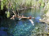
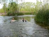
Mataranka Thermal Pool (water
temperature of 32.5 °C) offers some safe swimming.
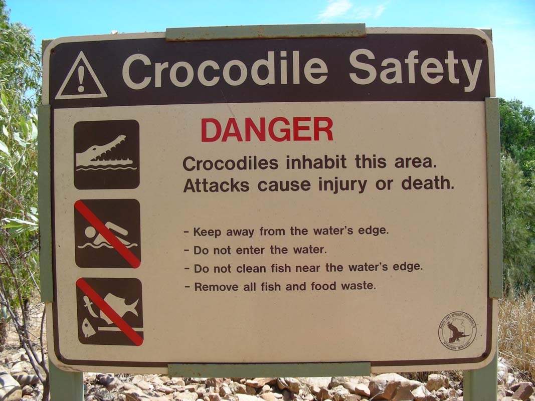
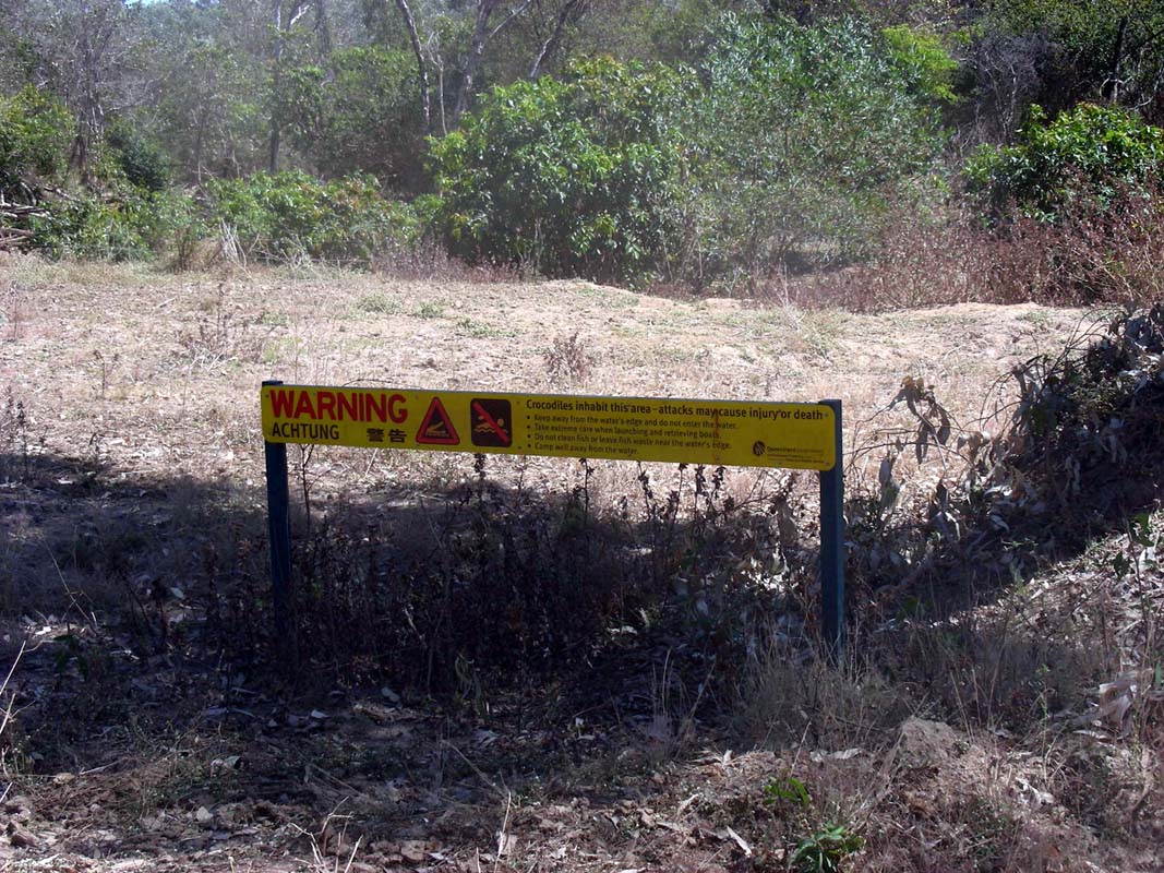
Freshwater crocodiles inhabit the Park but are harmless; saltwater crocodiles
have been found further downstream from the
Park but after each wet season the river is patrolled for crocodiles before
being declared
open for swimming.
We head down to the pool and have a bit of a soak.
Bliss!
We even have Internet-reception
and soon are busy reading emails.
We find one from Michi
and Marlene telling us that
they are already in Burketown, where they have found an
Internet possibility in the local library.
They inform us
that they intend
to visit Lawn Hill National Park on the way west and will
probably only be in Mataranka on the 17th.
As this is too
late for us we decide to drive to the Butterfly Springs
in the proposed Limmen National Park and wait for them there.
We inform them accordingly, hoping that they will find
Internet
connection in Borroloola and be able to receive the mail.

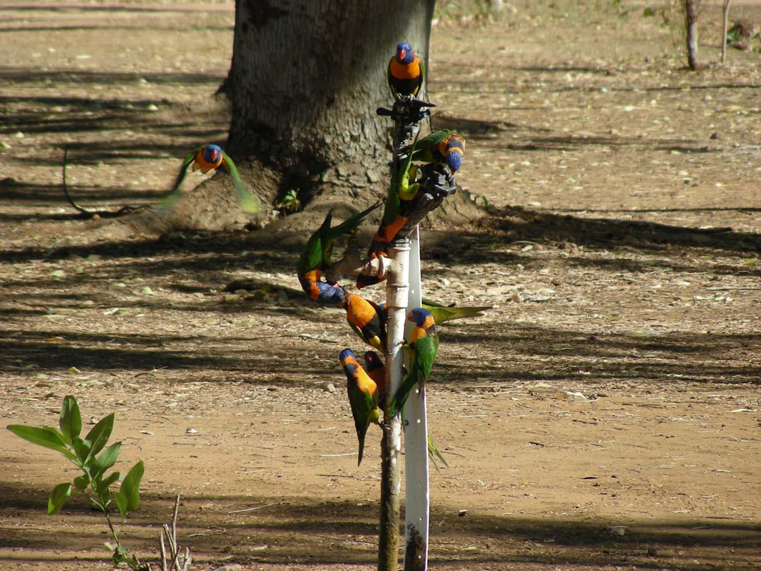
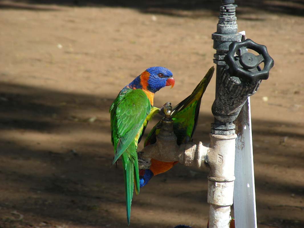
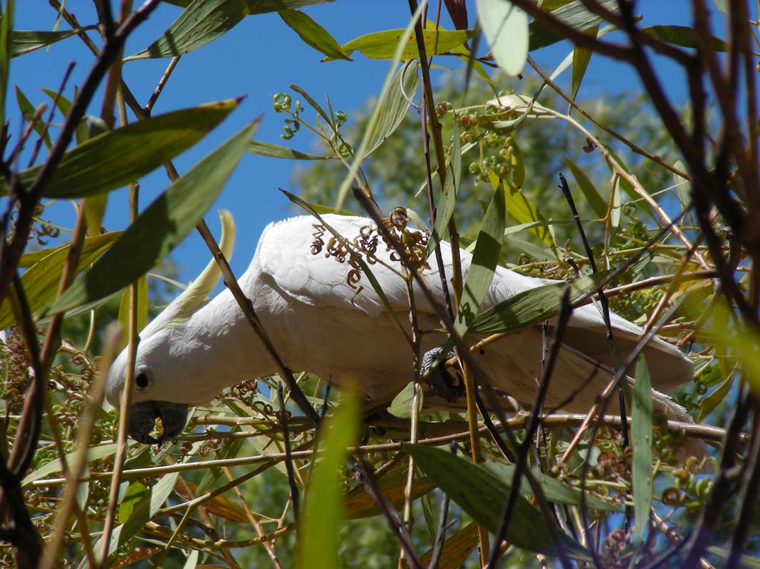
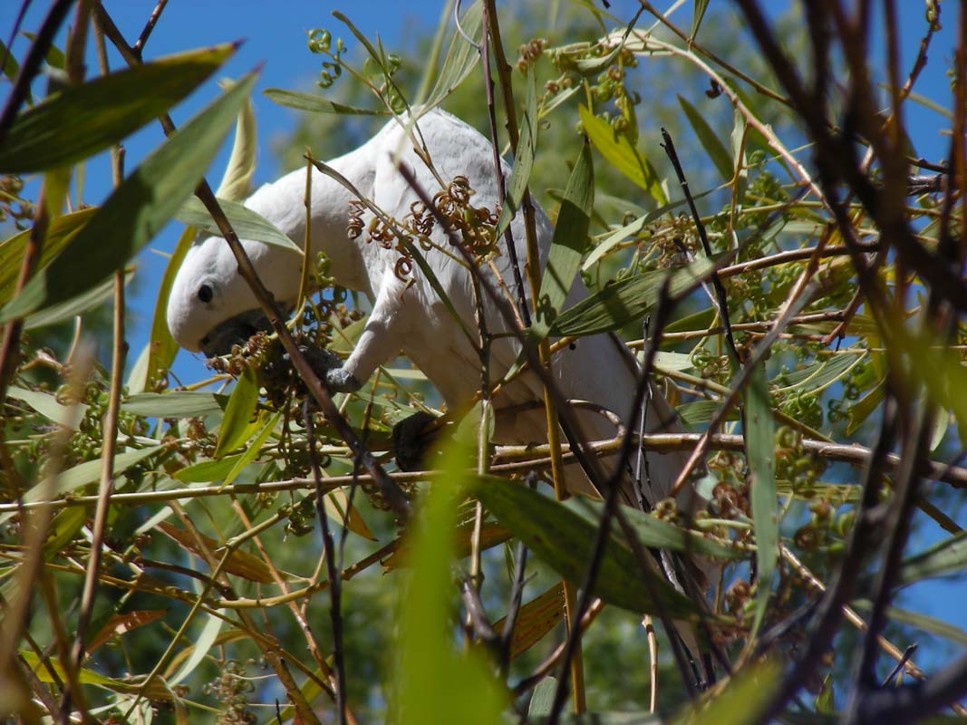
The rest of the day is passed with watching the various
"animal activities" ....
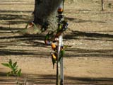
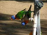
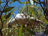
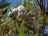
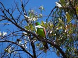
Especially watching the Rainbow Lorikeets drinking from the
tap was amusing.
Click here  to view the movie. to view the movie.
On Wednesday, August 13, we are woken up by singing birds.
It has been along time since we were able to sleep with
open windows and have been able to hear the birds singing
in the morning.
We get ready to head out into the bush and the Savannah
Way.
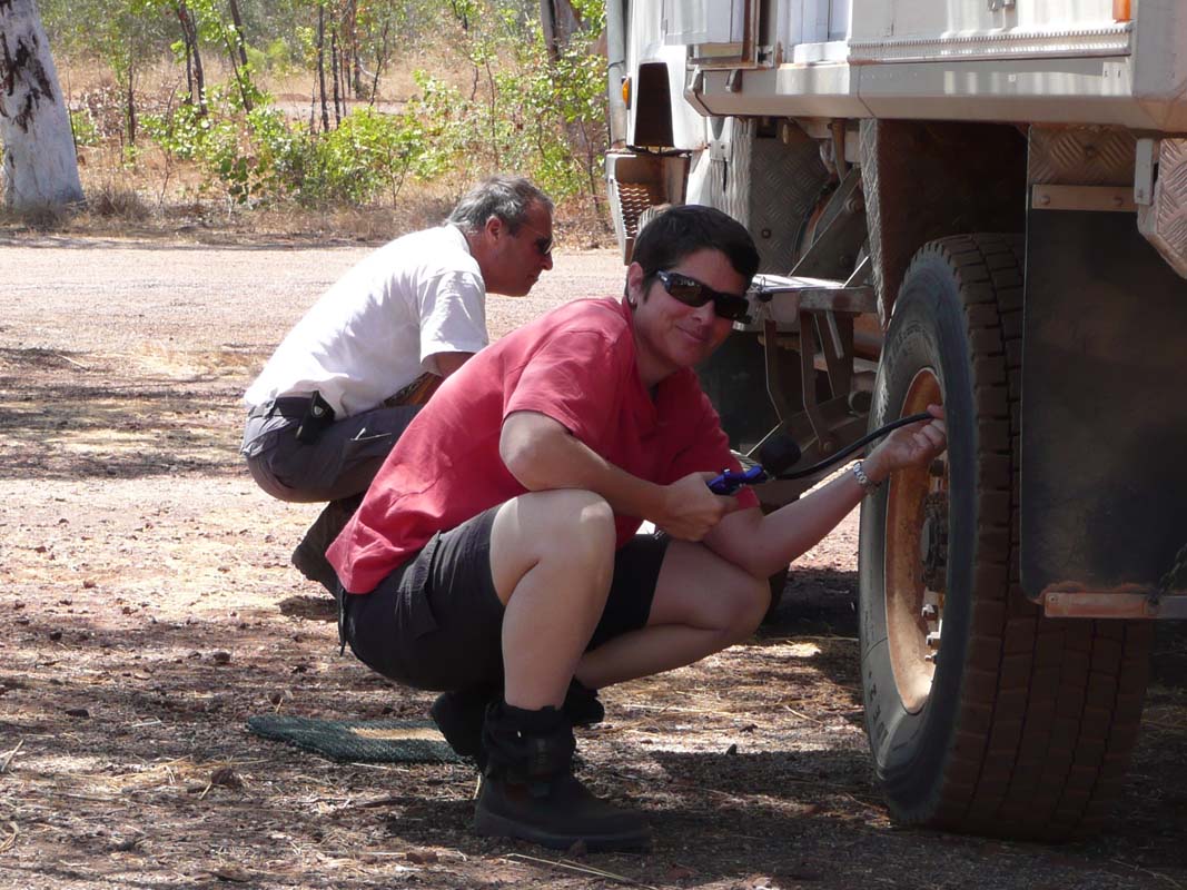
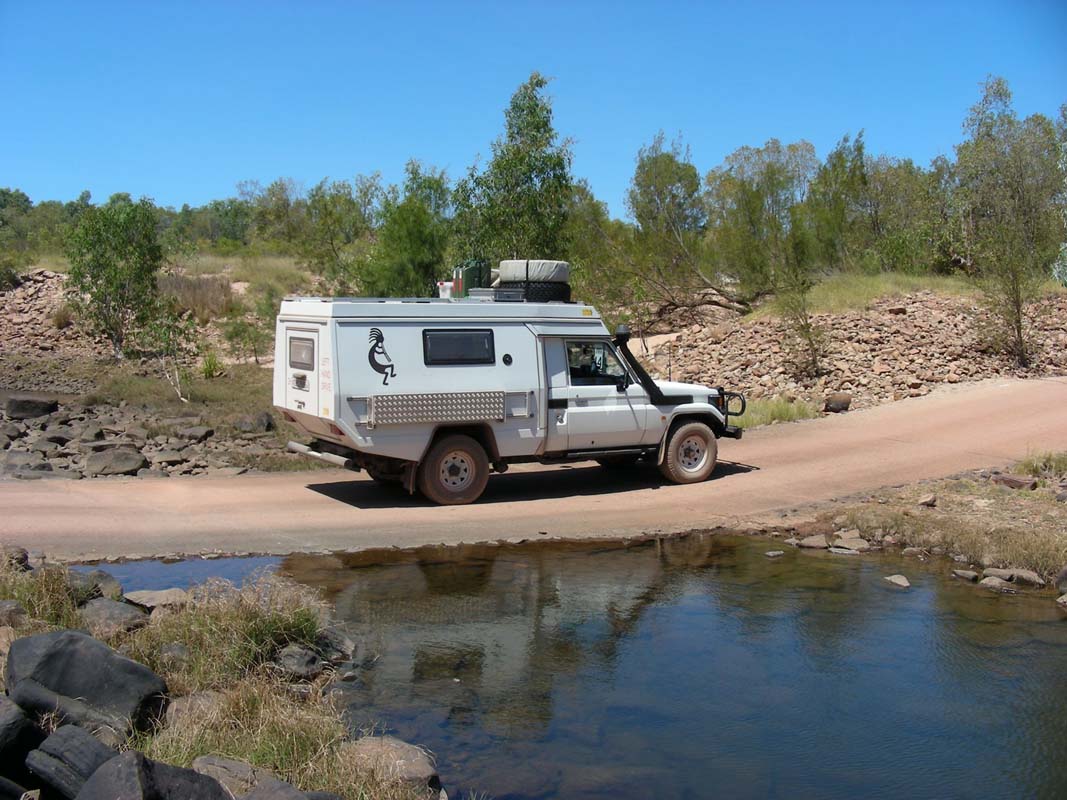
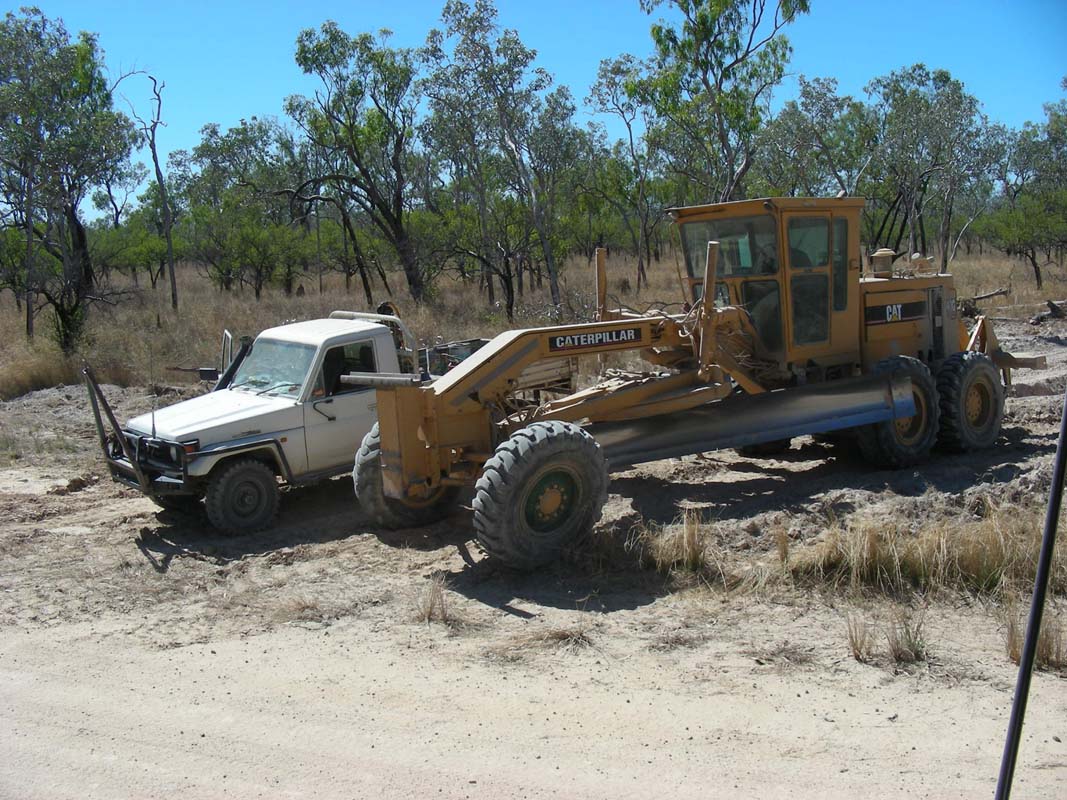
When Ruedi wants to inflate the tyres the engine stops
with
an error code telling him that the level of the coolant
is too low.
Ruedi can fill 3 litres of water into the expansion tank
....
Something is
wrong and we will have to watch out for the fault.
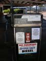
We head into town to fill up the jerry-cans with diesel.
On the way to the cash register Susi sees water dripping
down from the front of the OKA ... the expansion tank for
the coolant has cracked and will have to be replaced before
we can continue on.
After the experiences we have had in Alice Springs with spares
being delivered "a.s.a.p." all alarm bells go off.
After
a few enquiries we find out that "express post" deliveries
are
flown from Perth to Darwin and then loaded onto a road train
to Katherine.
There they are unloaded and passed on to the
Greyhound bus for delivery in Mataranka.
Expected time of
delivery: 1 week!
The friendly lady at the post office recommends that we
drive up to Katherine where we would be able to get the
parcel
within 48 hours.
Hmm ... today is Wednesday, plus 48 hours makes Friday ...
If
we are very lucky we could get it this week, otherwise it
will be Monday, as the post office in Katherine is not
open on Saturdays.
Well, we have no other choice.
We give instructions to OKA
to send the tank to Katherine and get ready for the drive to
Katherine.
Luckily
the OKA can still be driven even with the crack in the
coolant expansion tank if the lid on the tank is removed.
(Removing the lid prevents
pressure building up in the coolant system.)
After all this has been decided we inform
Heidi & Peter,
Ruedi's sister and husband.
We also send an email to Michi and Marlene,
informing them that the plans have changed again and that we will
head up to Katherine.
But there is also another problem:
South of Katherine there is a weighing station that is
known to be manned very often.
We know that when we
are fully
loaded with extra water and extra diesel we are over the
weight limit (like most off-roaders are ....).
And of course
we filled all our tanks this morning including 4 jerry-cans
(= 80 kg extra diesel) ... so we decide to drive as close
as possible to Katherine, then wait until it gets dark and
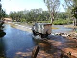
sneak past the weighing station behind some other large vehicles.

On the way we stop at the rest-stop at Leach
Lagoon and find
a small track leading down to the lagoon.

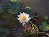
Water-birds have
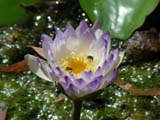
a feed and some Lotus flowers bloom - what a peaceful
place.
This is a perfect place to spend the afternoon and
wait
for nightfall.
We also find a good spot to hide the 4 jerry-cans (it
is so well hidden that Ruedi takes a GPS position to
ensure
he can find the jerry-cans again in a few days on our
way back to Mataranka ....)
Before we leave we also dump all our drinking water (2
x 100 lt = 200 kg) and empty the waste water tank.
With all
this done we hope to be close to our legal weight limit
....
As we leave the rest area we are passed by a tour operator
bus with a trailer.
That's exactly what we need!
We tailgate it and drive past the weighing station
... which is currently not weighing ... but we got
past it
and into Katherine and that's
all that counts.
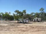
Relived we find ourselves a caravan park and
have a good nights sleep.
After a balmy night with 18.4°C (great, that's more to
our liking) we get busy in Katherine trying to find some
coolant for our Cummins engine.
We have received the details
from OKA and it is not easy to find one that matches that
specification.
After a few tries we actually find a dealer but have to buy
a 25 lt drum.
As we are close to the Low Level Crossing where the Big4 Caravan
Park is we hop over and book a site for a night.
Next is the post office to find out by when we can expect
our spare to be here.
The shock is big when the lady says: "Don't
even bother coming in on Friday, you will be lucky if your
Express Post arrives on Monday. This is the Outback NT
(Northern Territory)!
Not Today - Not Tomorrow - Not Tuesday - Not Thursday - Not This week!"
Pretty frustrated we return to the caravan park and extend
for another 3 nights.
Friday is a pretty day, with warm temperatures and a light
breeze.
We keep ourselves busy with work on the OKA and on the
computer.
After 4 PM we head into town and go to
the post office with low hopes.
We have to try ....
Ruedi is the brave one while Susi looks to the other
side, her spirits very, very low ...
But surprise, surprise: we
are lucky; an Express Pack has arrived for us!
We head back to the caravan park to check if it fits, and
surprise #2: it actually does!
Great!
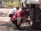
Ruedi gets the repair done.
We relax a bit and have a good nights rest after all
this worrying and frustration.
On Saturday, after another warm and comfortable night we
decide to stay another day and get the washing done.
Ruedi also wants to exchange the coolant and checks the
radiator for a possibility to add the liquid.
But he cannot find any .... guess what. On the OKA's you will have
to add the coolant through the expansion tank .....
While he has the engine cover open he
checks the tension of the belts and finds one to be loose.
It's the one used for the air condition.
When looking a bit closer he finds that the bolt used to tension
the air con belt has broken off and that the bottom part of
the fixation has been lost.
The whole unit is hold in place by the
fuel high pressure sensor, a very sensitive switch that we have been warned
by OKA to treat with great care.
Even having one in spare, should it break it would set us back by 1200 AUD
...
Ruedi spends the whole morning rebuilding
a new holding mechanism.
Luckily he has so much material and tools (= weight) with him.
Then we go shopping and in town receive an SMS that Heidi
and Peter have arrived in Mataranka.
What now?
Should we wait until dark and try to sneak through the weighing
station again?
Should we wait until early on Sunday morning and sneak through
at dawn?
Or should we just take the risk that the weighing station
is attended and we might get pulled over?
Well, we still got the empty tanks, have used diesel in the
meantime and should not be much over the limit.
We also see many prime movers standing on the side of the
road so we assume that there are not too many trucks on the
road and the weighing station could be unattended.
We decide to risk it and start driving south.
As we get closer to the station we see that the signs are
covered up, an indication that the station is closed.
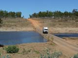
Out of curiosity we pull over and put the OKA on the scale.
Hmmmm ..... it is a bit heavier than we thought .... Ah well,
we usually don't drive much on bitumen and that is where
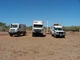
the weighing stations usually are.
Then we reach Mataranka, find Heidi & Peter and settle
down.
We will stay here until Tuesday and pass the time with a
bit of Internet, swimming in the thermal springs, watching
the movie "We of the Never Never" that is screened at the
homestead daily, just have a bit of a break after these stressful
few days.
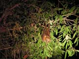
The animals are one of the prime attractions here.
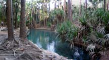
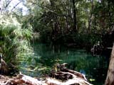
We also find some more time for some soaking in the springs.
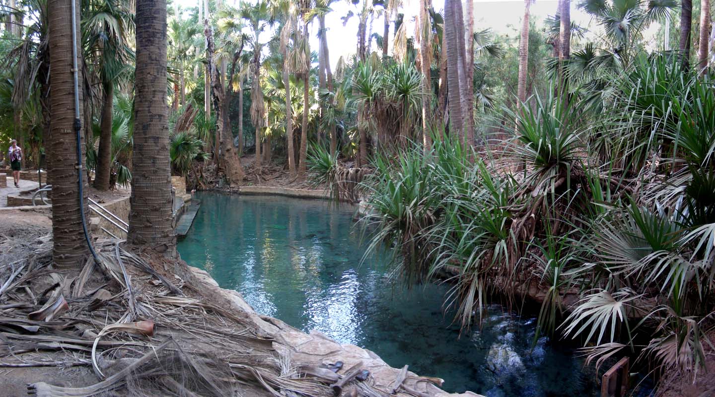
Mataranka's Rainbow Spring and other springs of this region
have long been known by local Mangarrayi / Yangman people.
However it wasn't until WW2 when soldiers stationed at Mataranka dammed the spring,
turning it into a relaxing swimming pool.
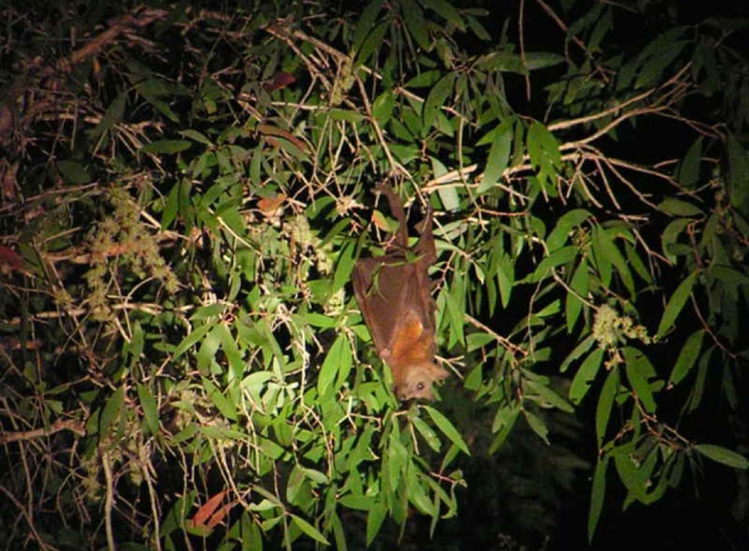
The pool is known for its large population of flying-foxes
too.
Currently not too many are present as there is not much food
around for them.
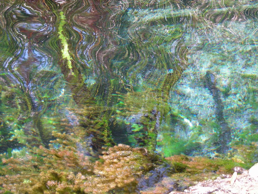
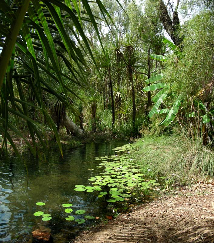
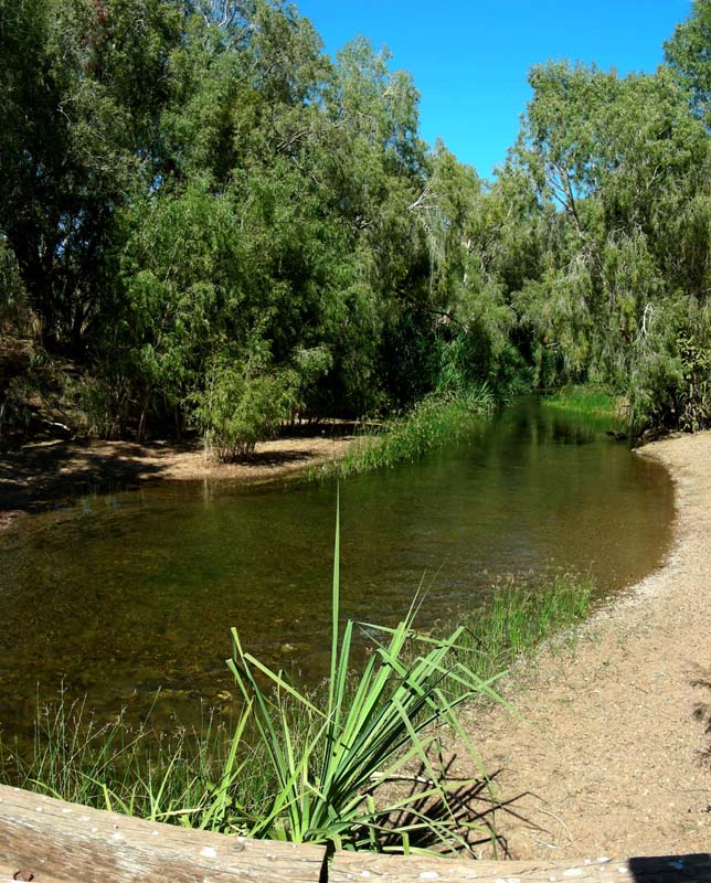
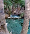
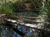
We also visit Bitter Springs (we actually
like Bitter Springs better .....).

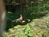

The water is absolutely clear.
It feels like swimming in
a large aquarium.
We get out the goggles and drift with the current passing
all these amazing underwater gardens.
For more
details
on Bitter Springs' and Mataranka's history, geology and the
flying-foxes please click here.
On Tuesday morning we leave Mataranka and turn east into
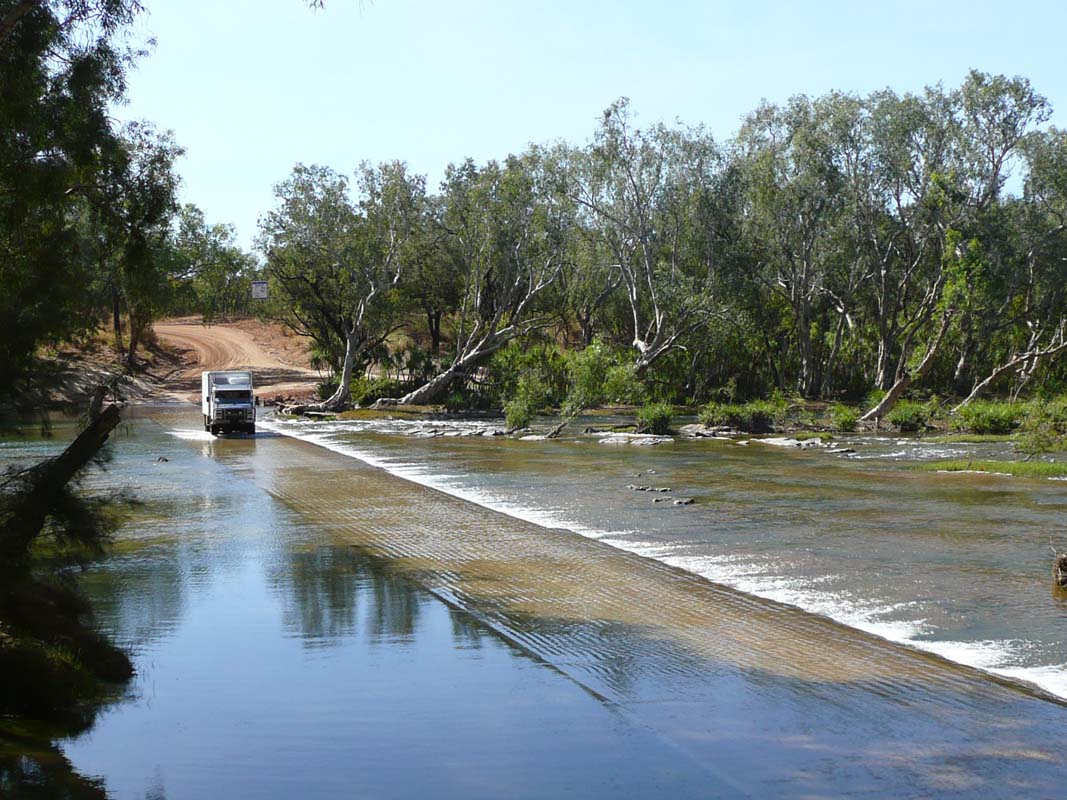
the Roper Highway.
After the bitumen finishes the dirt road continues on in
pretty good condition.
We are surprised about the amount
of traffic we encounter, both in our direction and coming
against us.
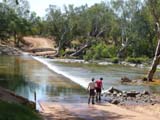

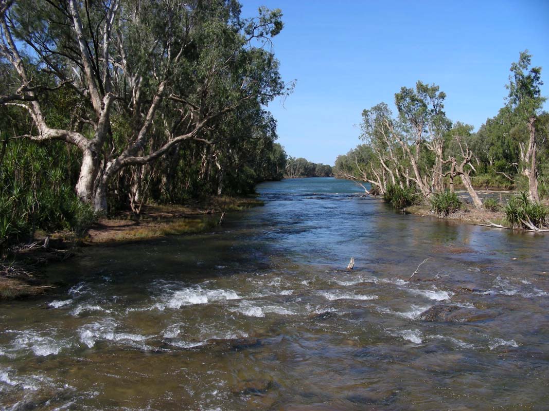
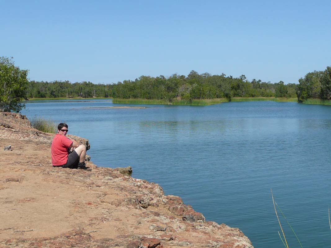
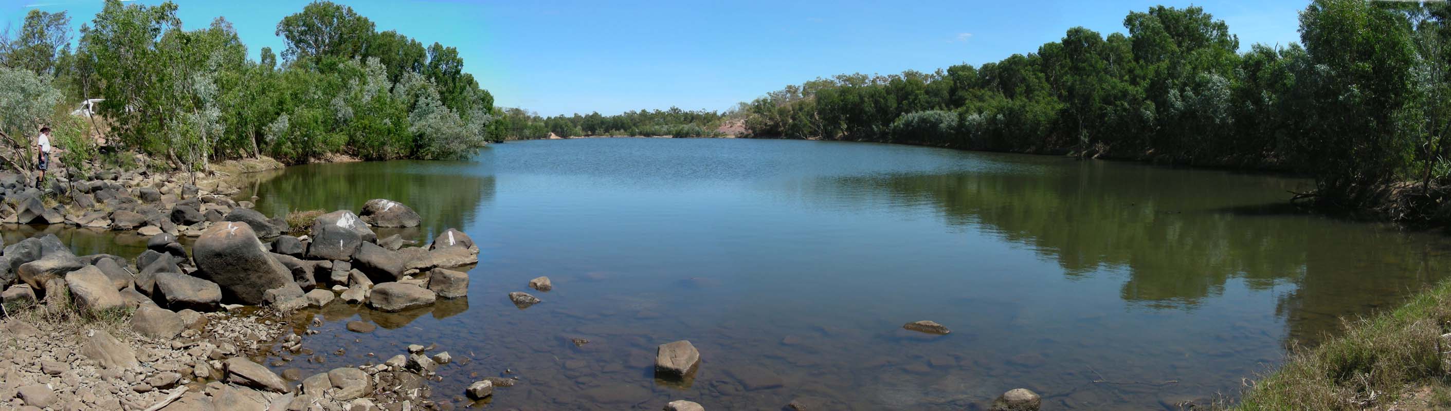
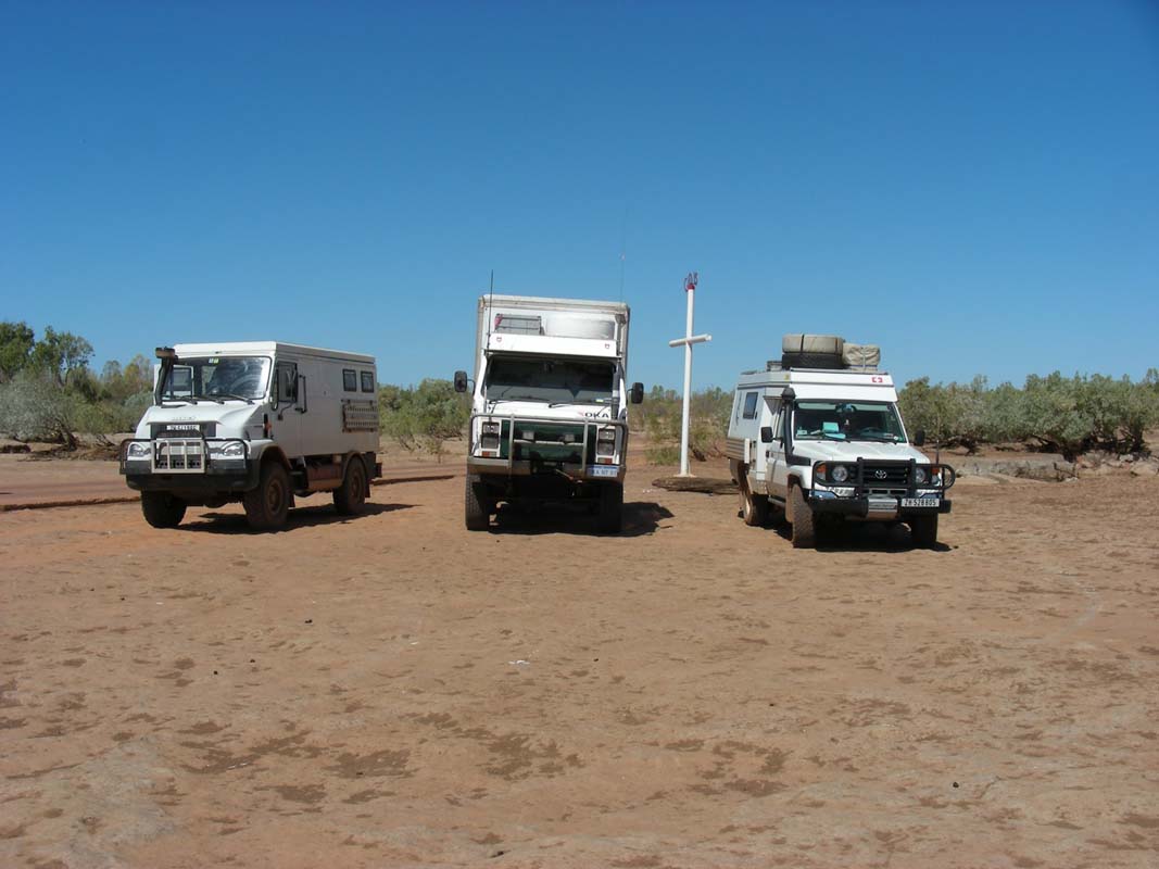
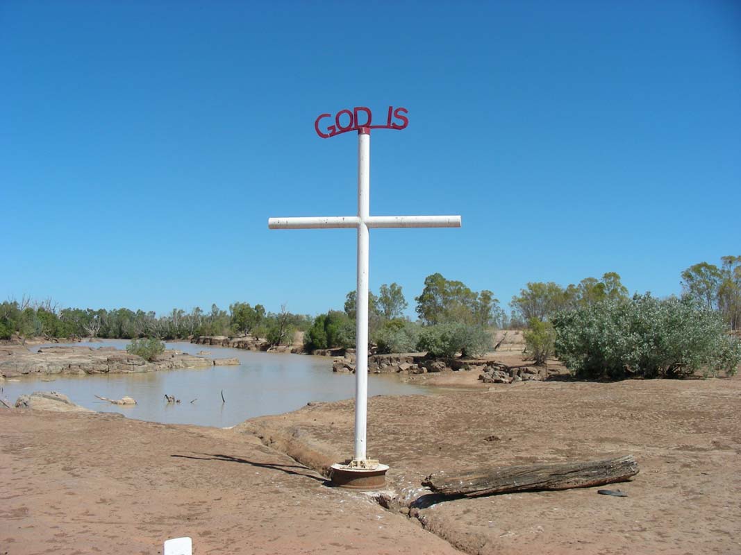
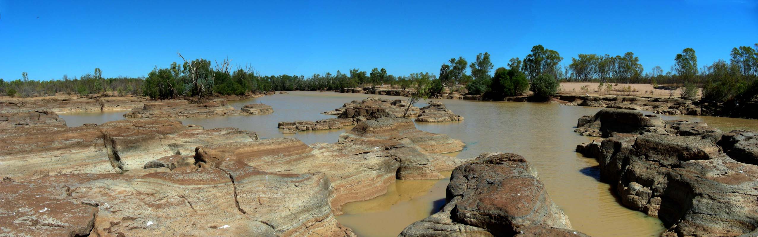
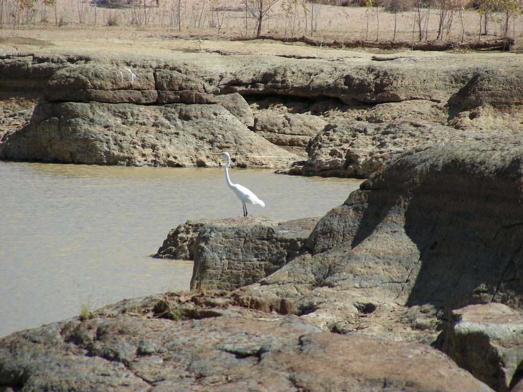
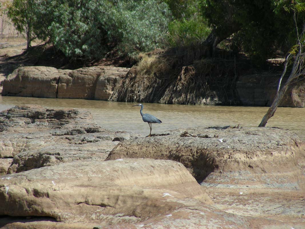
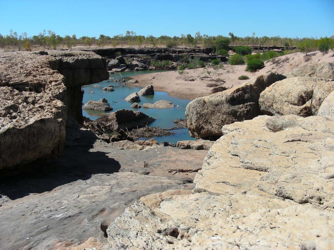
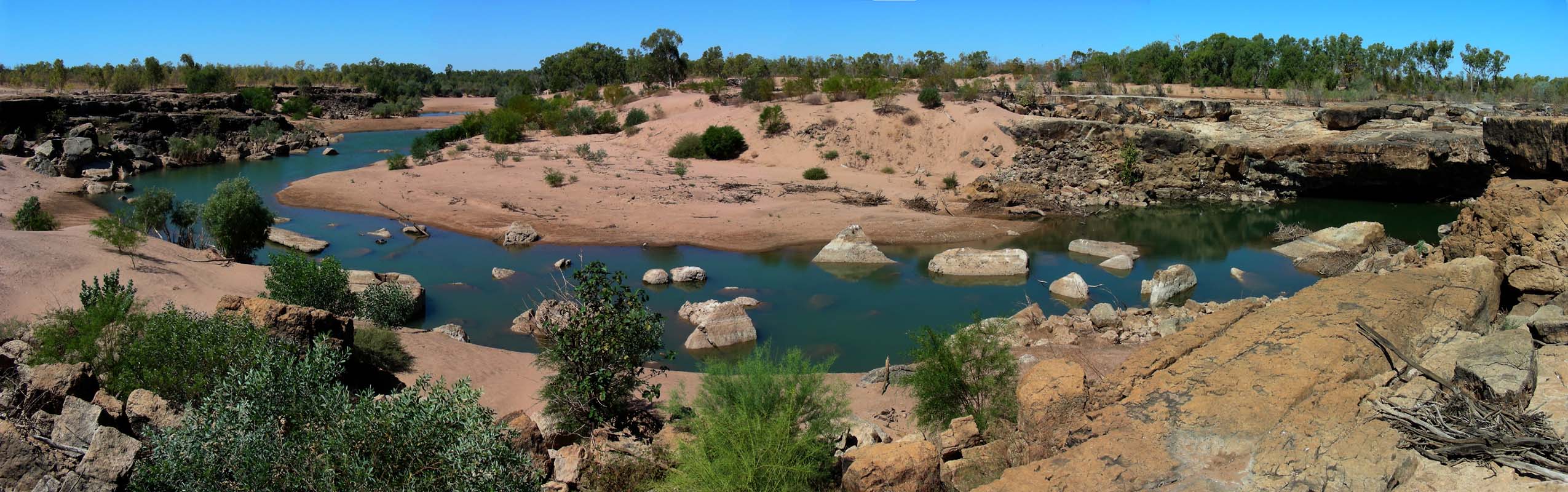
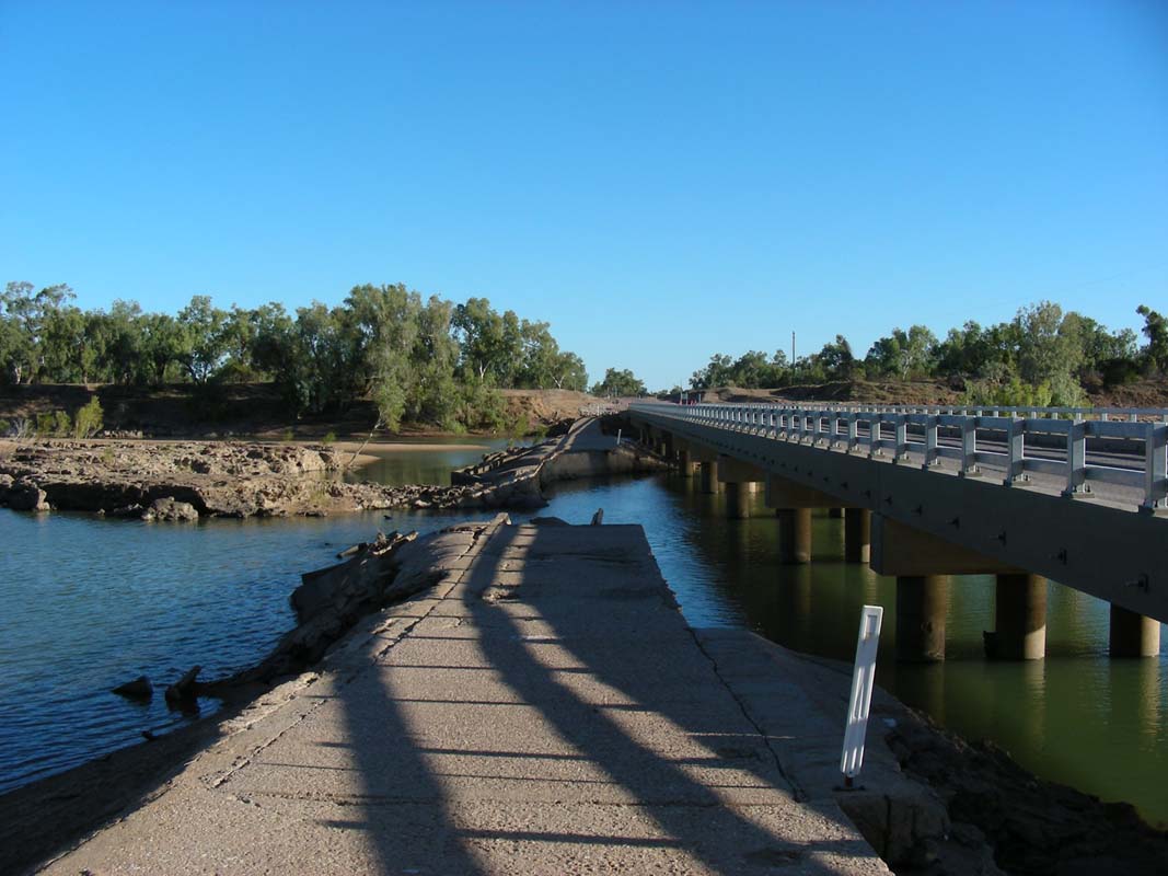
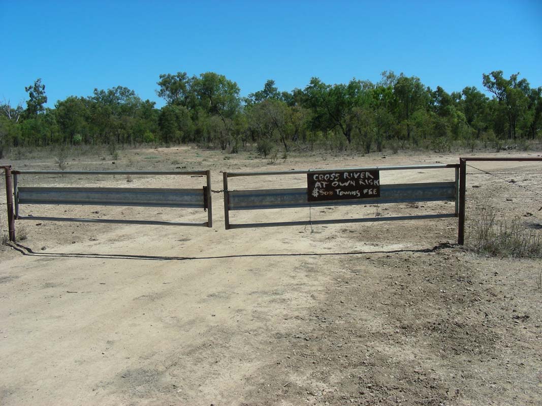
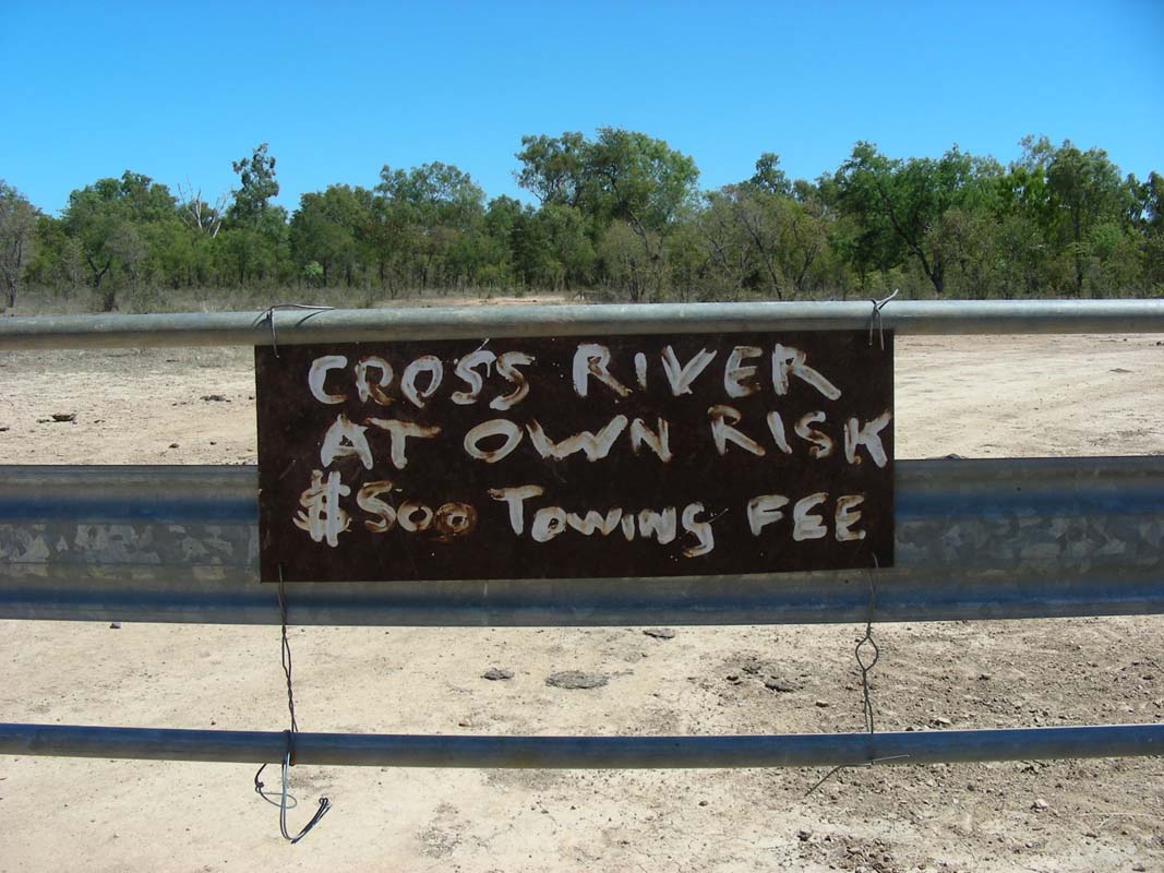
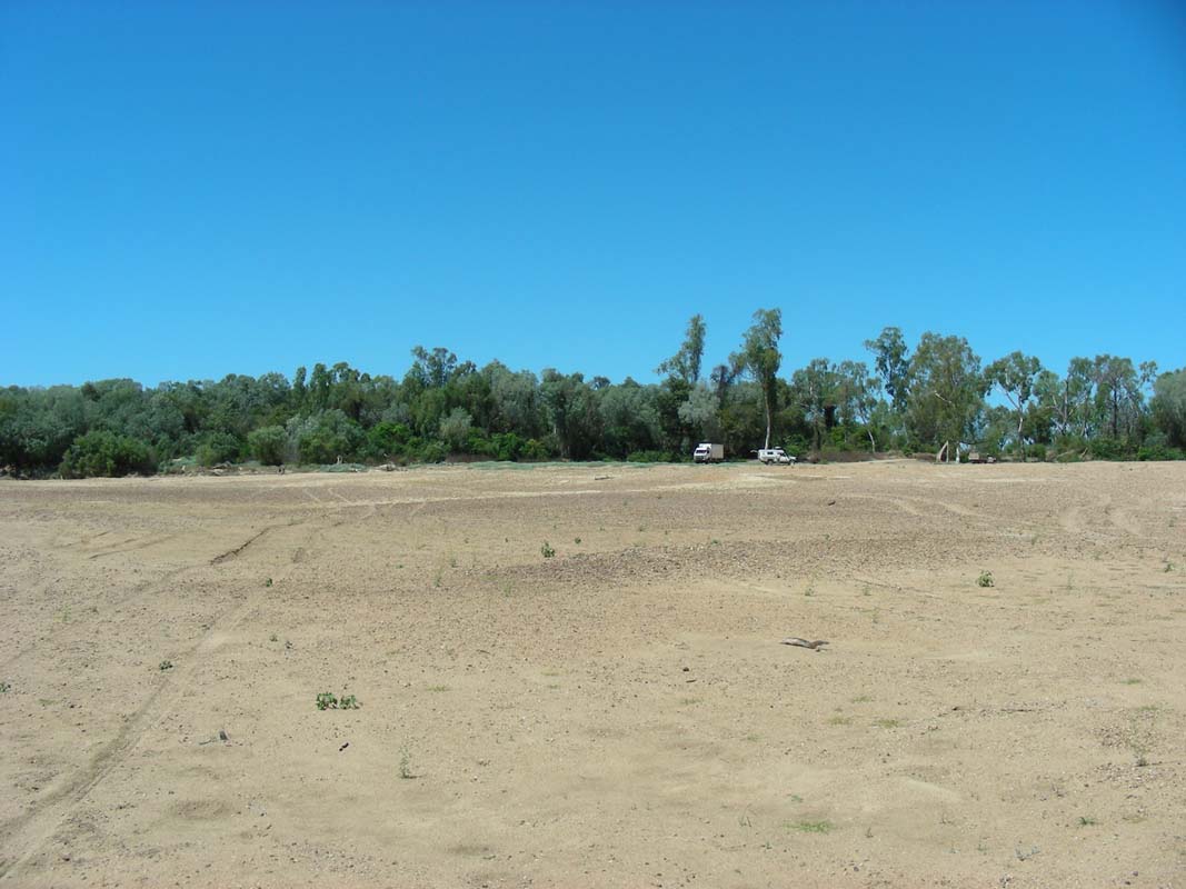
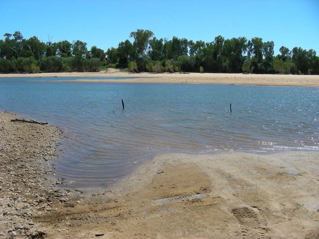
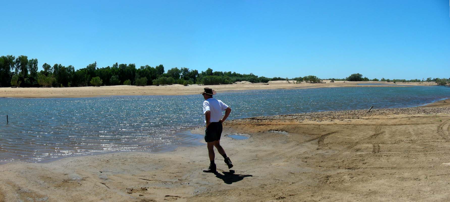
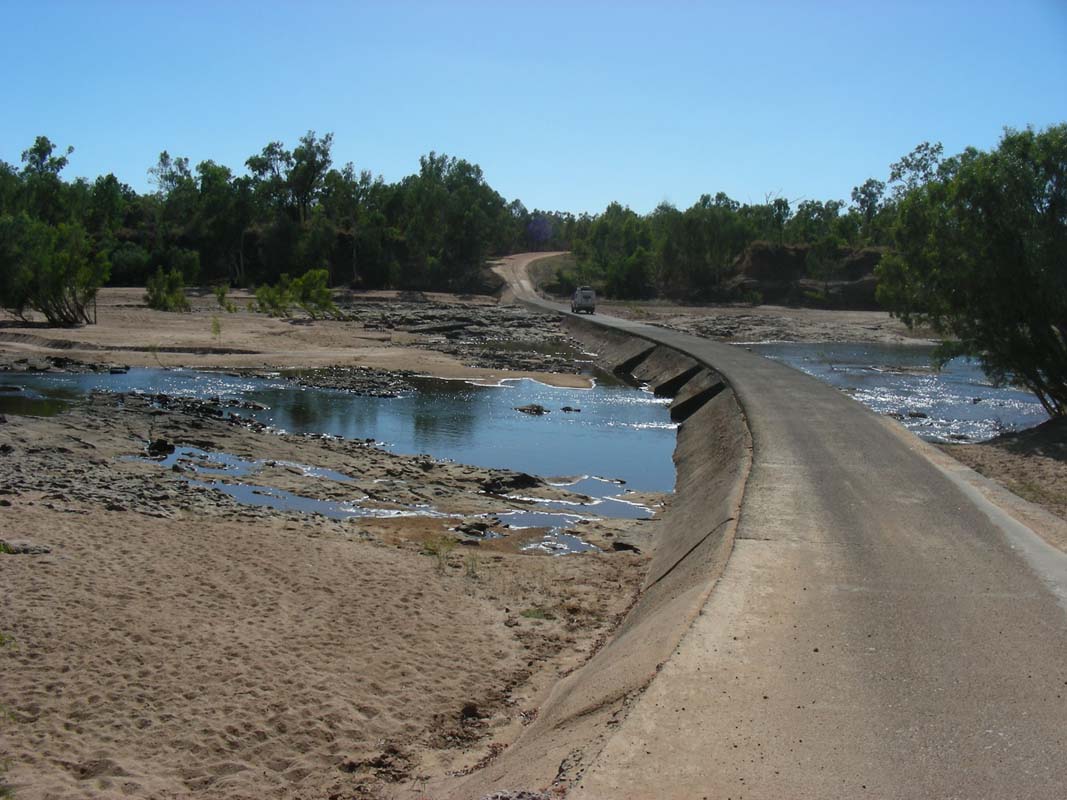
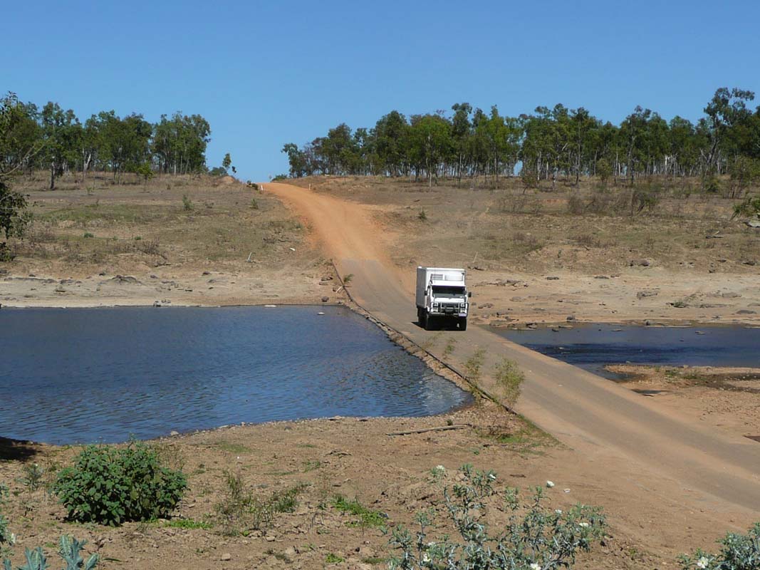
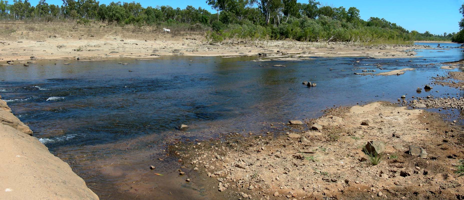
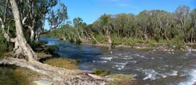
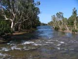
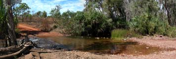
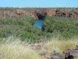
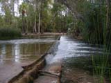
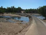
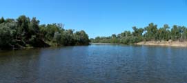
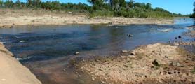
We stop at the Roper Bar.
It is such a lovely place but because
of the saltwater crocodiles having a swim in the pools it is
a definitive "no go".
There are still many VB beer
cans on the ground spoiling the pretty scene but it seems
to us that it has improved a bit since our last visit two
years ago.
It is quiet interesting to stand at the same spot where
Leichhardt in his 1844-45 expedition lost four horses and
his botanical collection in the river before locating the
rocky bar and its safe crossing.
Leichhardt named the river after an expedition member, John Roper, on 19 October
1945.
When looking up and down the river it is hard to believe
that in the early to mid 1870s the navigable section of the
Roper River was the busiest waterway in the Northern Territory,
with the Roper Depot having the largest population of the
Territory settlements.
Then it is time for some "tourist pictures".
We also visit the ruins of the old settlement.
Sadly the information tables are badly damaged by the sun
and also by stupid people leaving their graffiti on it.
But some interesting facts can still be read.
If you are interested
in details
please
click here.


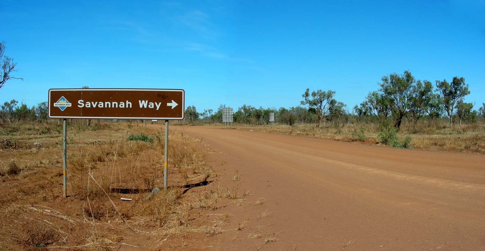
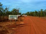
Then we turn into the Savannah Way and
continue on past the area where we had searched for the Old
Hodgson Crossing two years ago.
When we pass the track leading to the Rocky Bar Crossing
we cannot resist and have to drive down to see, if the track
actually leads to the crossing.
It does, but the bar is dry.
It must look quite spectacular in the wet... guess we will
have to come back one day when the creeks are still flowing
...


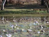
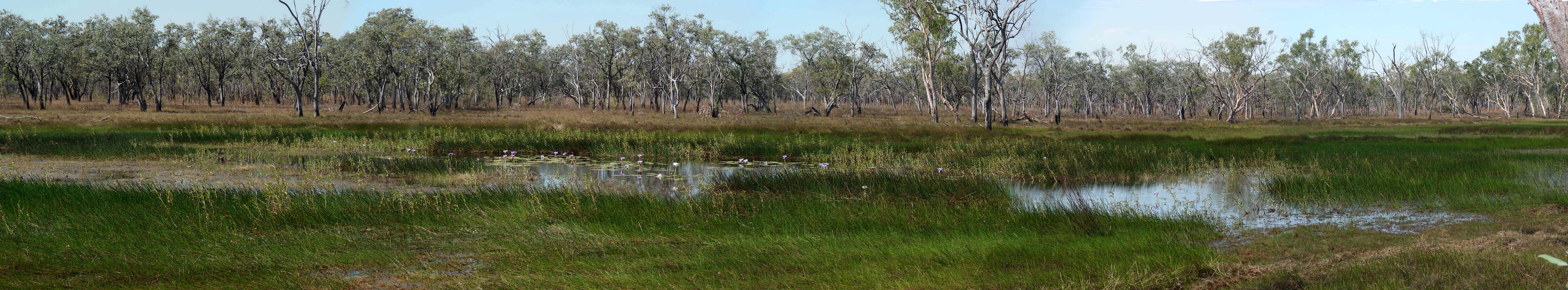
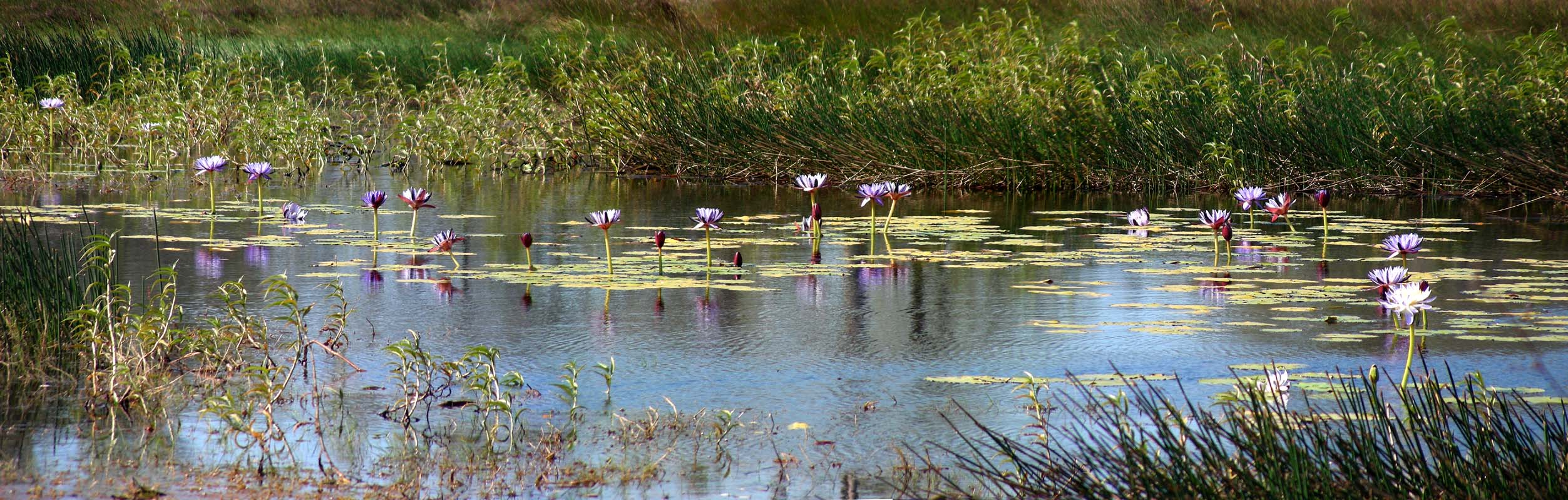
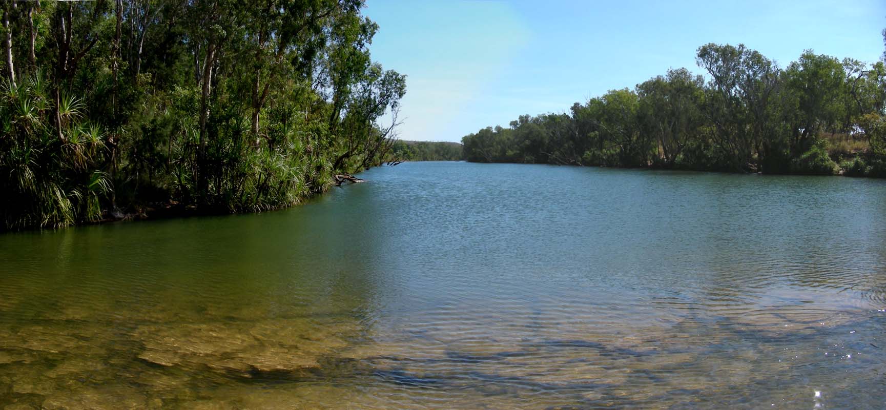
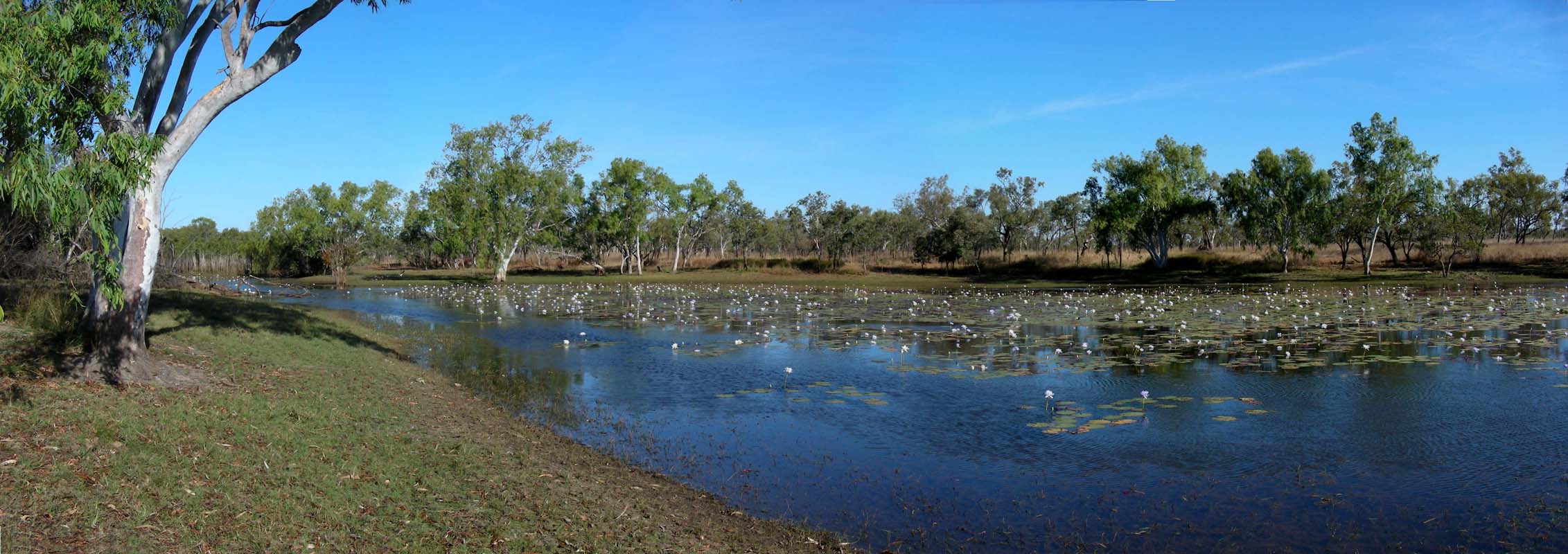
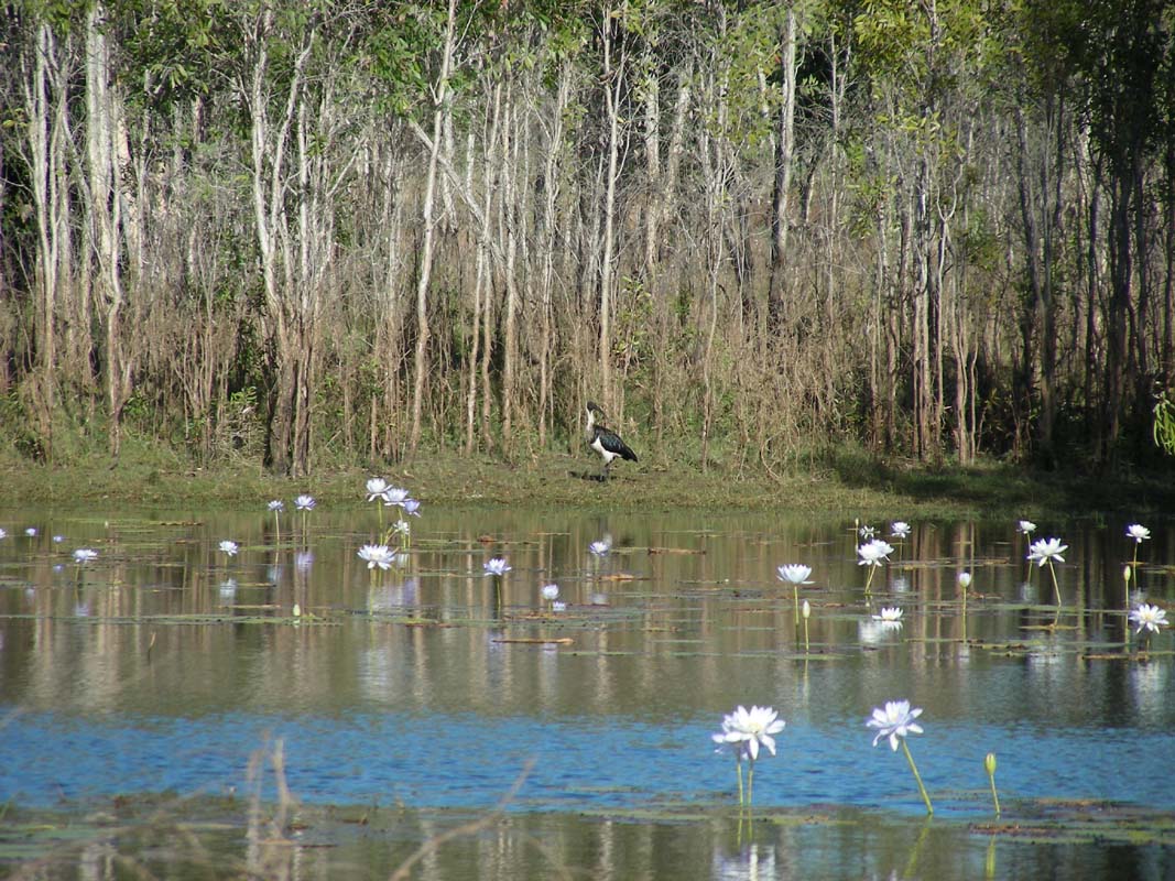
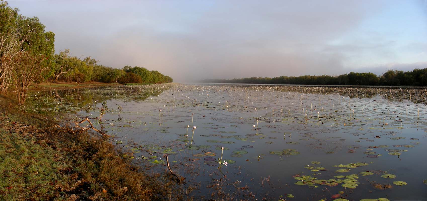
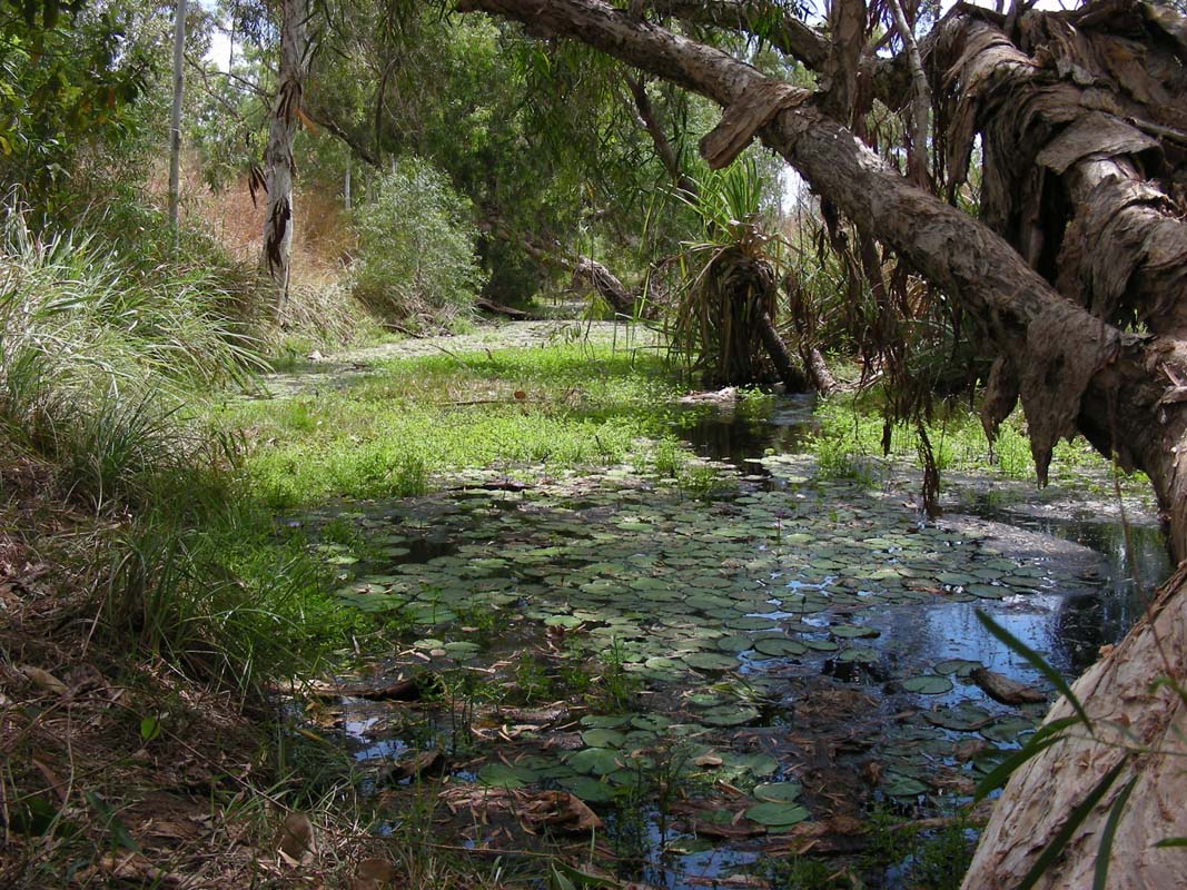
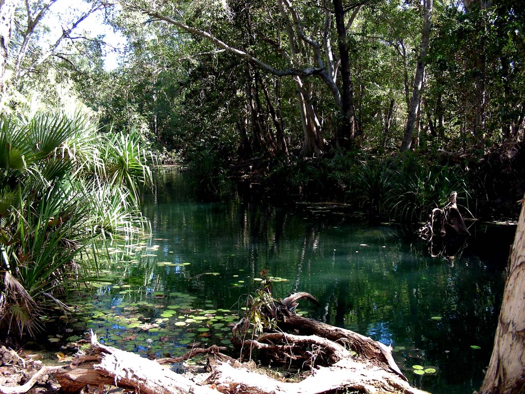
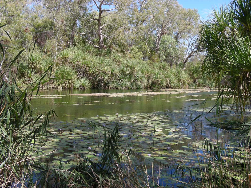
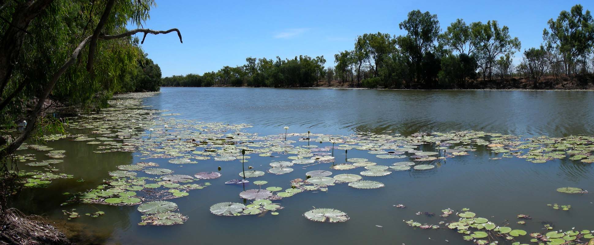
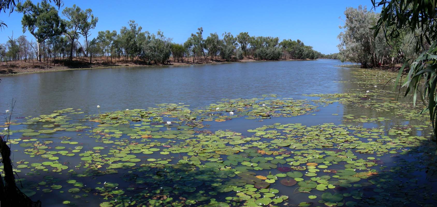
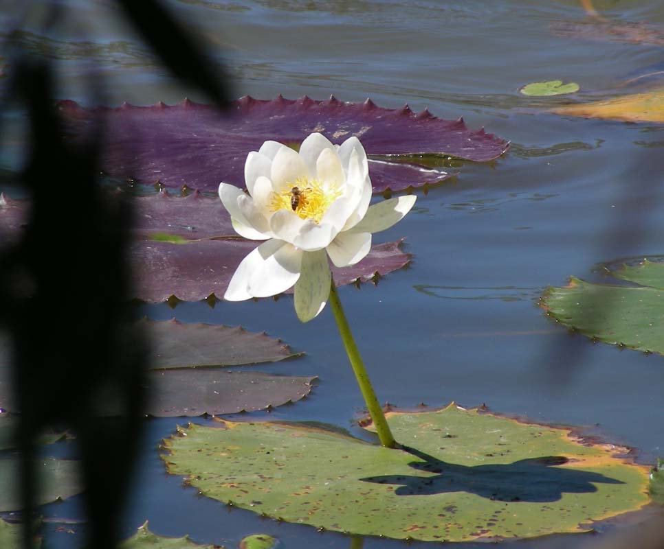
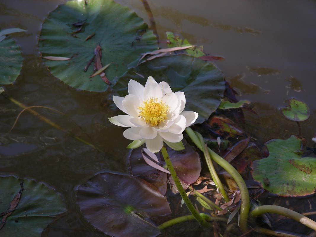
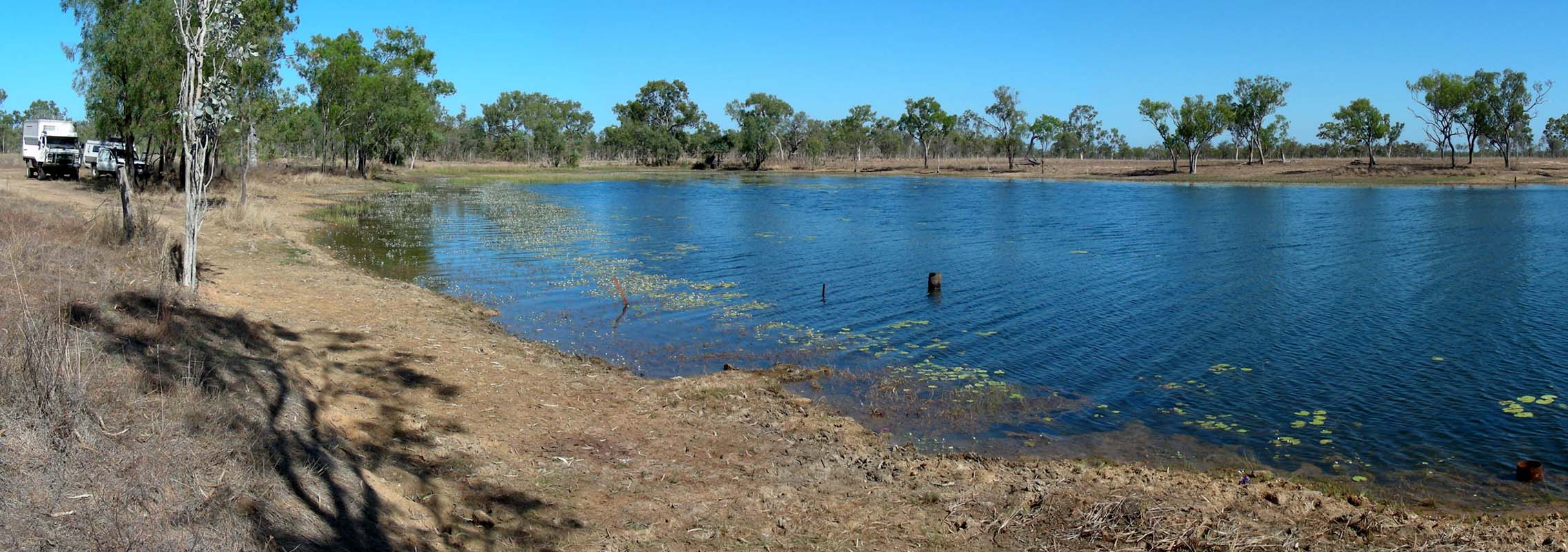
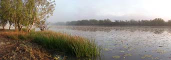
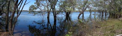
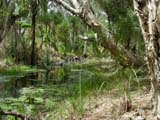
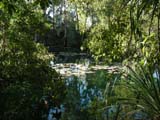
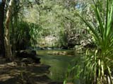
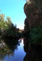
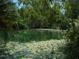
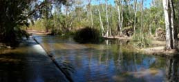
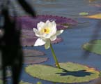
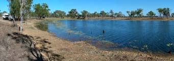
Billabongs start appearing and we stop at a very pretty
one to watch the lilies and the birds.


Along the Roper River there are many good camping and fishing
spots.
It is a shame that we (still) don't fish, even though we
are both Aussies now ...

We continue on until we reach Lomarieum
Lagoon where we stay
for the night.
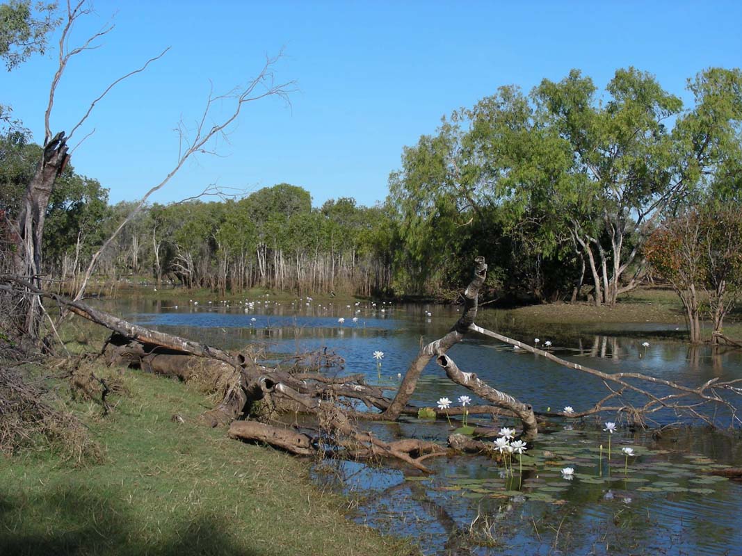
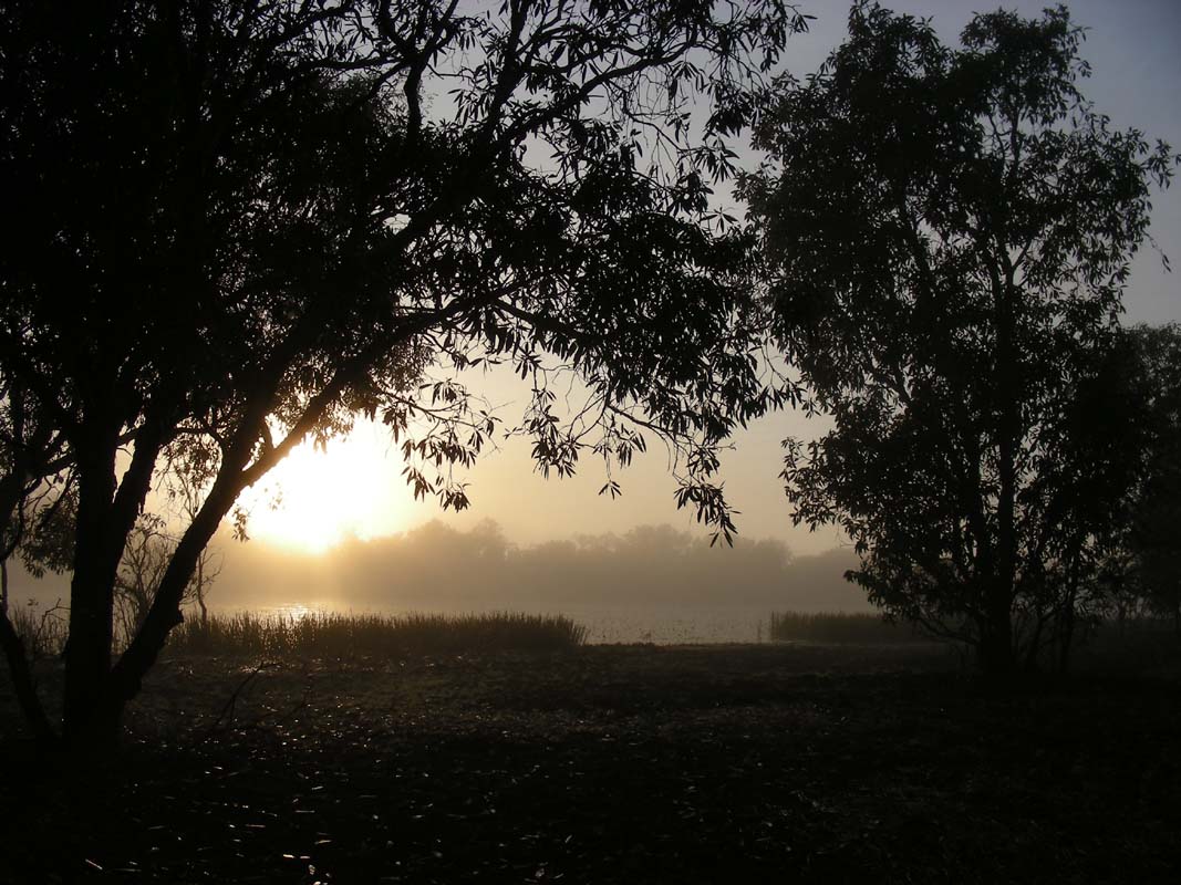
After a not to cold (14.5°C) but rather humid night
on Wednesday morning we are woken up by the songs of many
different birds.
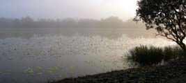

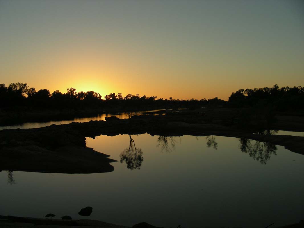
The lagoon is covered by fog and the sun is just starting
to break through.
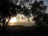
Birds are waking up and getting ready for the day.
It is such a pretty and peaceful place.
We continue south on the Savannah Way ant reach the turn-off
to Roper Port.
Here we also find the end of a track that we had tried to
drive from the other end on our last visit two years ago.
Then the track had just vanished in the high grass and in
a creek bed we had "altered" the chassis and improved the
departure angle a bit by hitting the ground with the spare wheel with the full
weight of the OKA ...
click
here for the details of that story and a short movie.
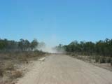
The Savannah Way has long sections with very bad corrugation.
It does not really bother us but Heidi & Peter's Kokopelli
takes quite a beating.
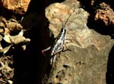
Next stop is the Towns River Camp, one of the camp sites
is along the river.


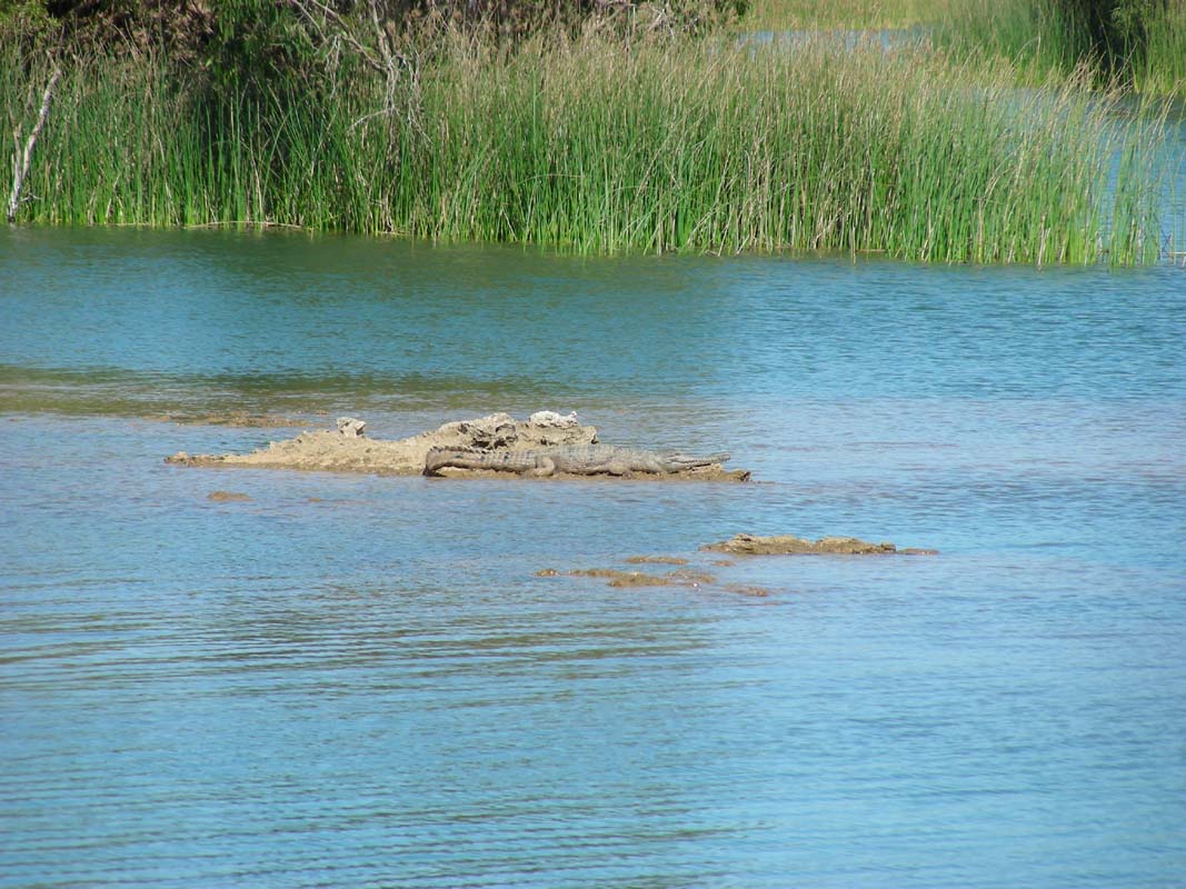
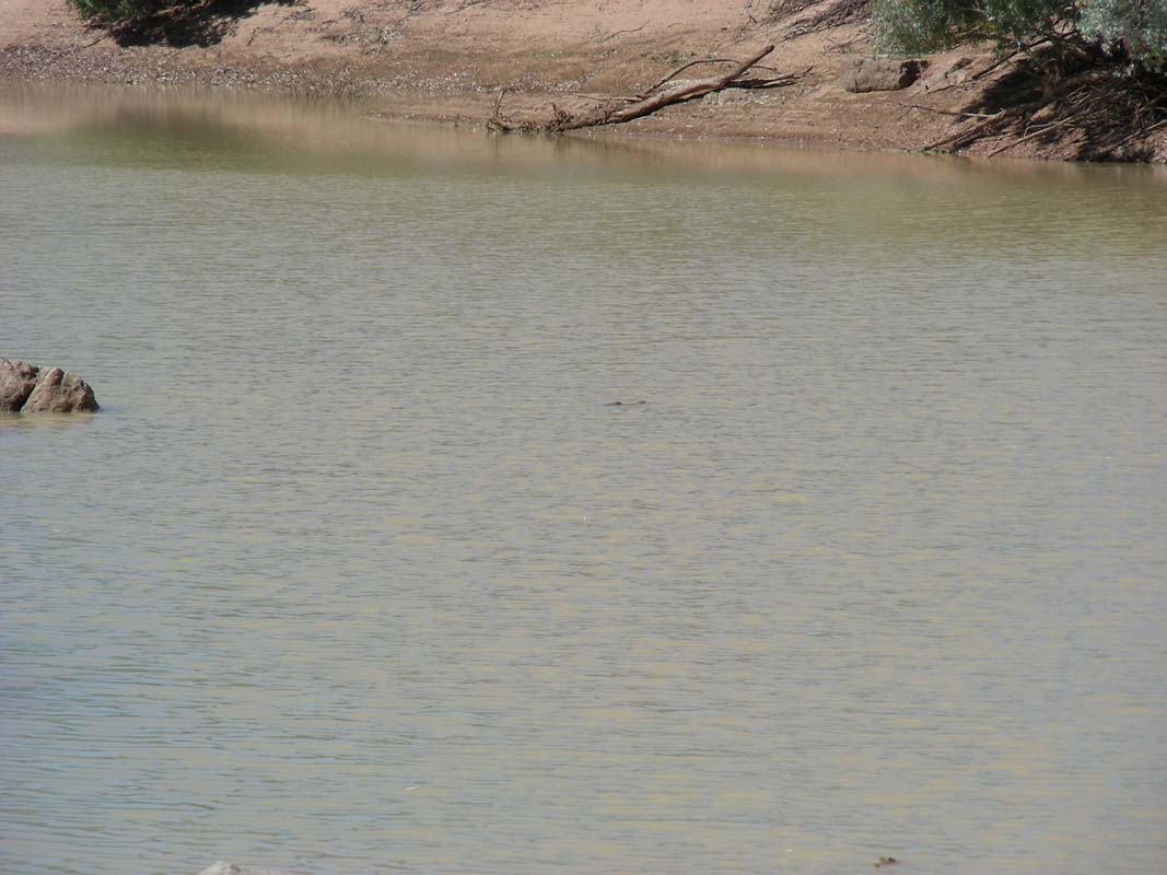
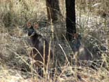
There we spot our first crocodile!
It's a freshwater one, soaking up the sun and warmth on the
rocks.

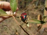
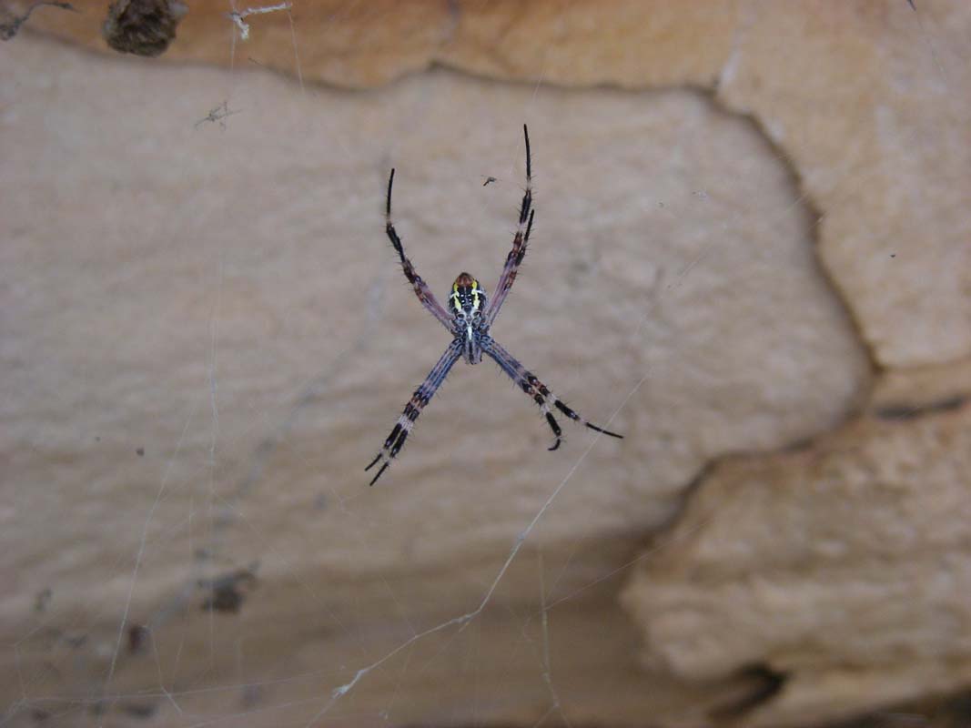
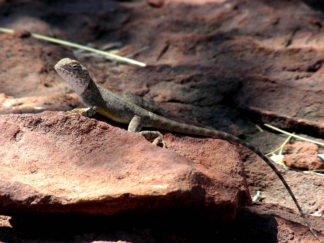
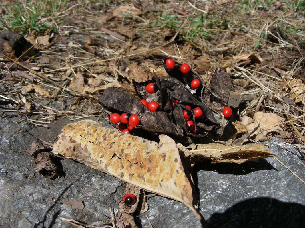
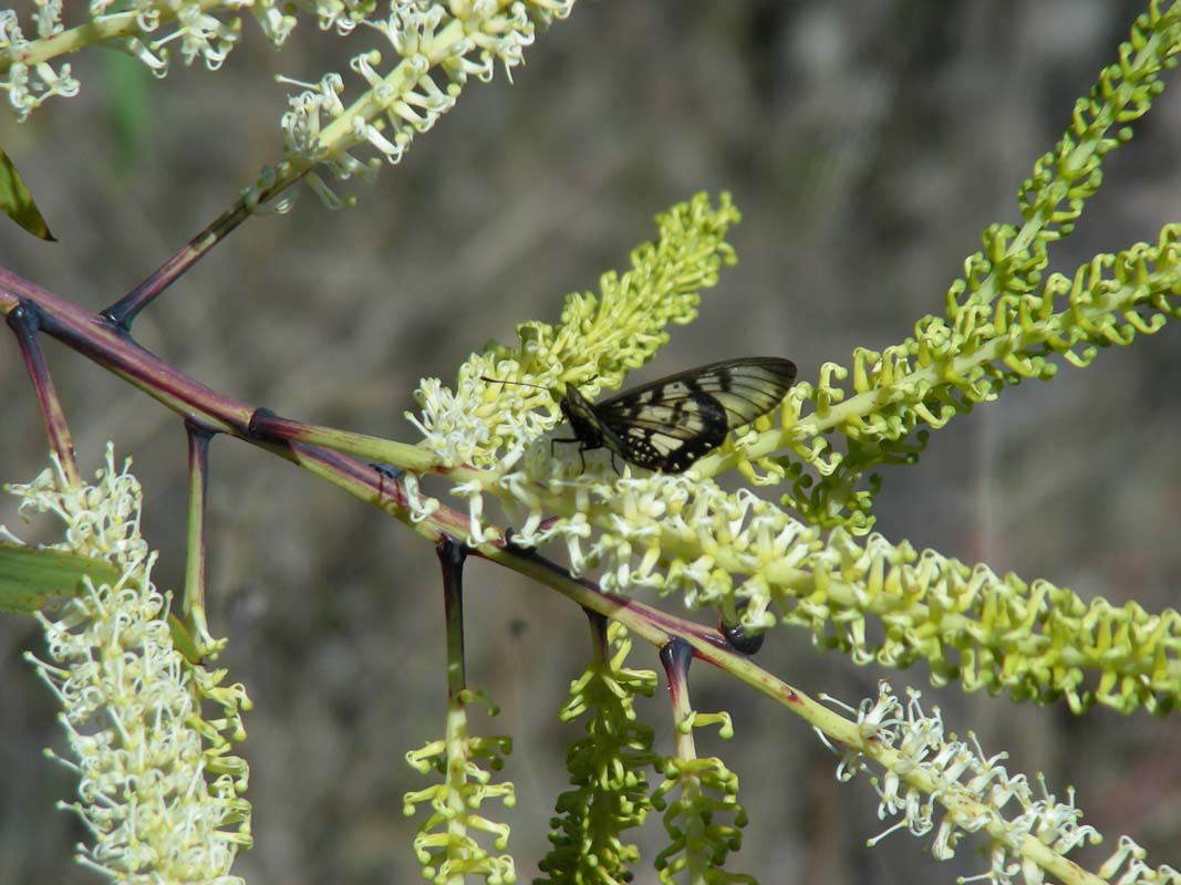
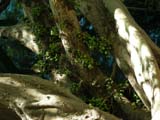
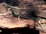
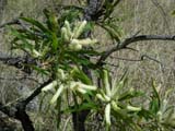
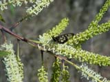
There are also some flowers and a pretty beetle that we can
spot ... don't know how many we missed on our walk along
the track ....

Next we deviate to Brumbys
Lagoon.
The lagoon still seems
to be flooded.

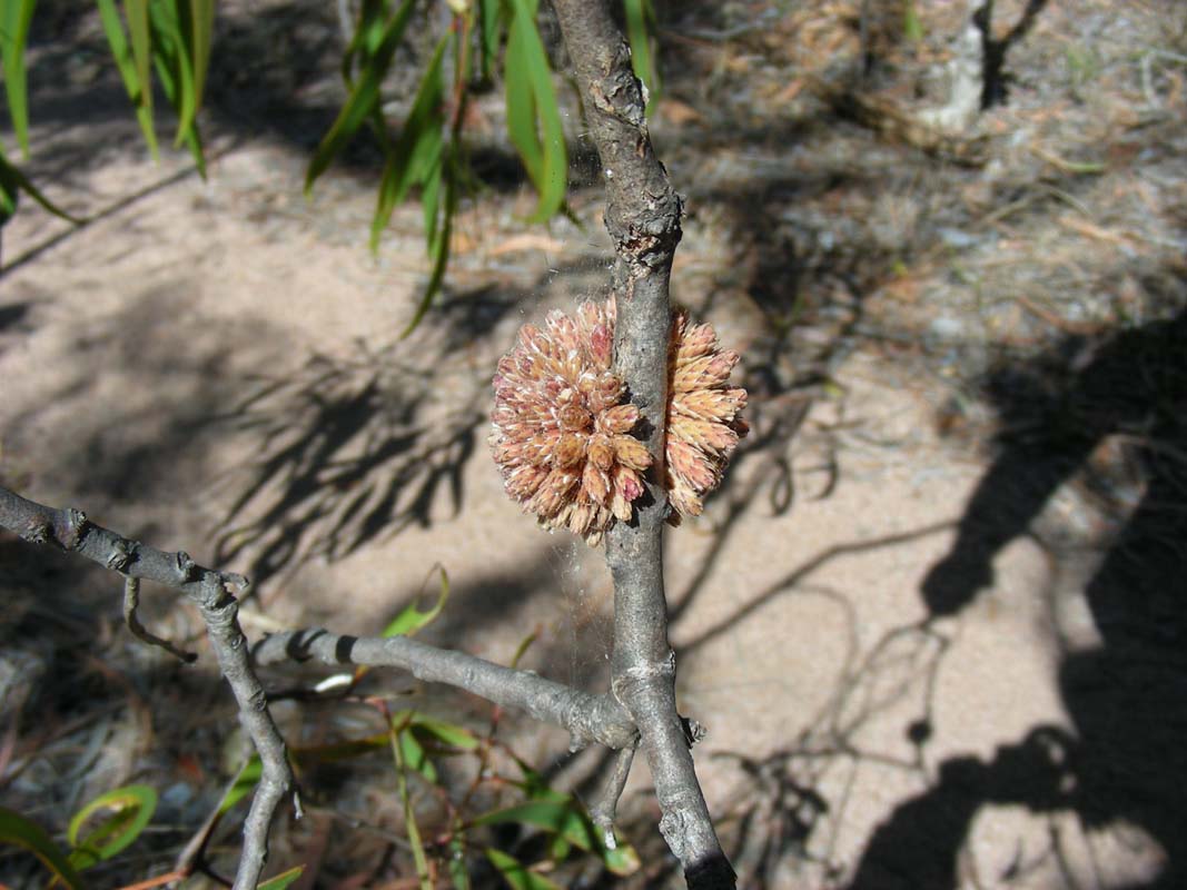
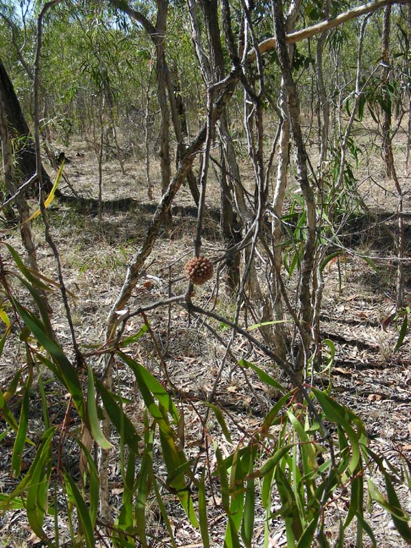
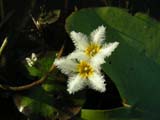
There are already many different plants germinating in the
areas where the water has retreated.
Susi goes for a walk and finds that some of them are already
blooming; some flowers are just 1 - 2 mm large ... or small?
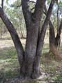
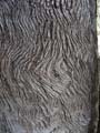
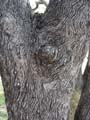
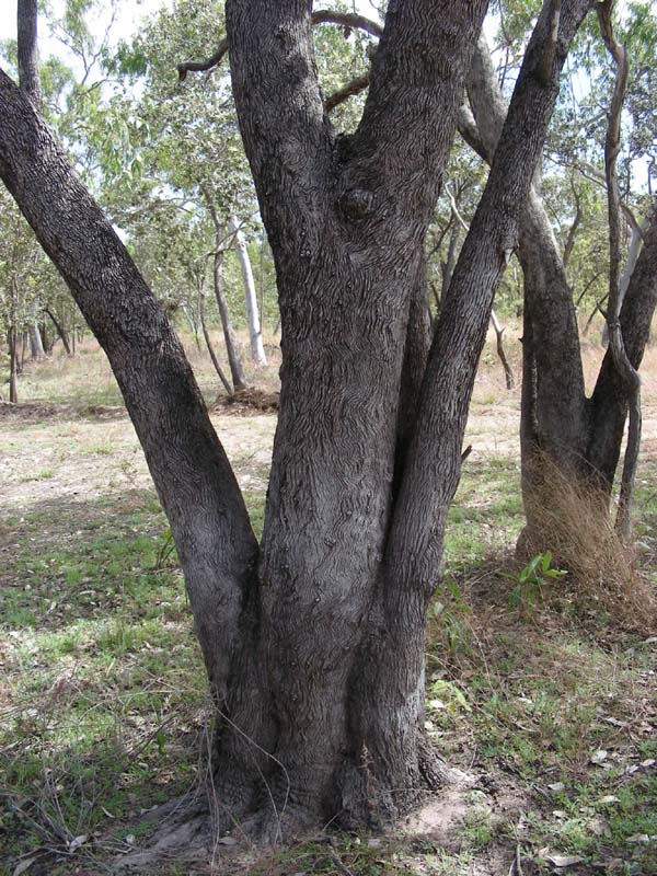
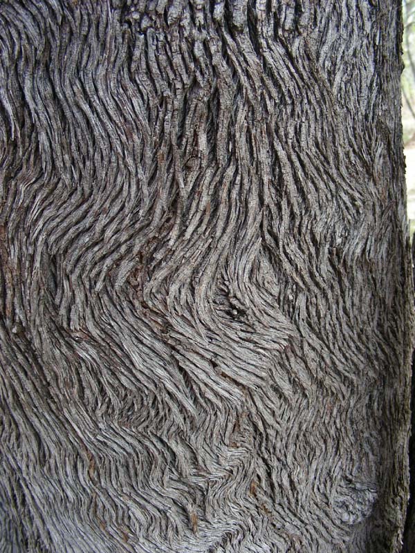
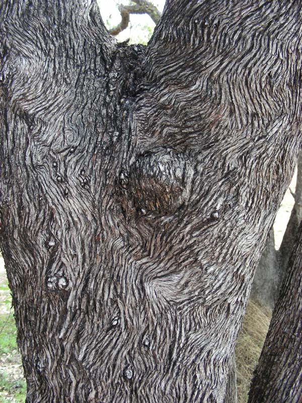
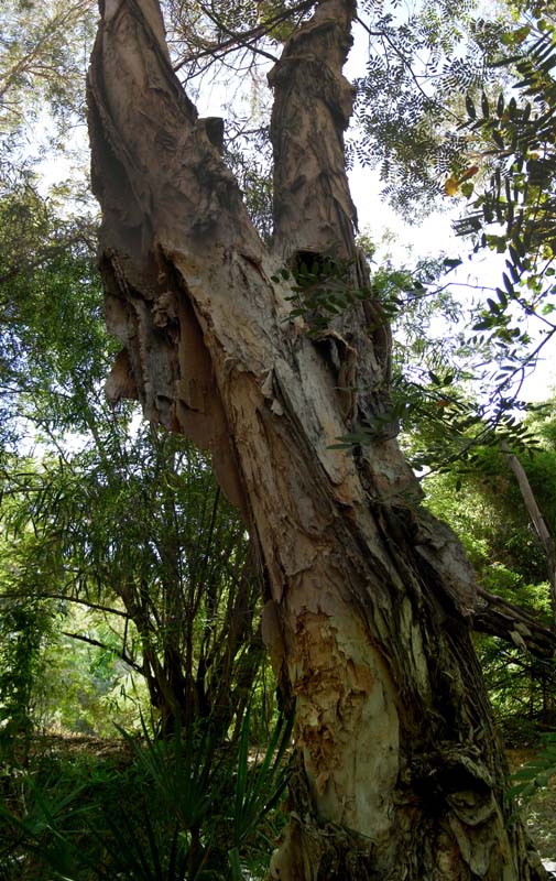
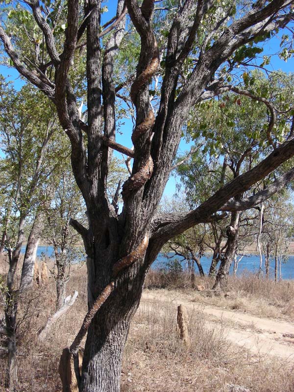
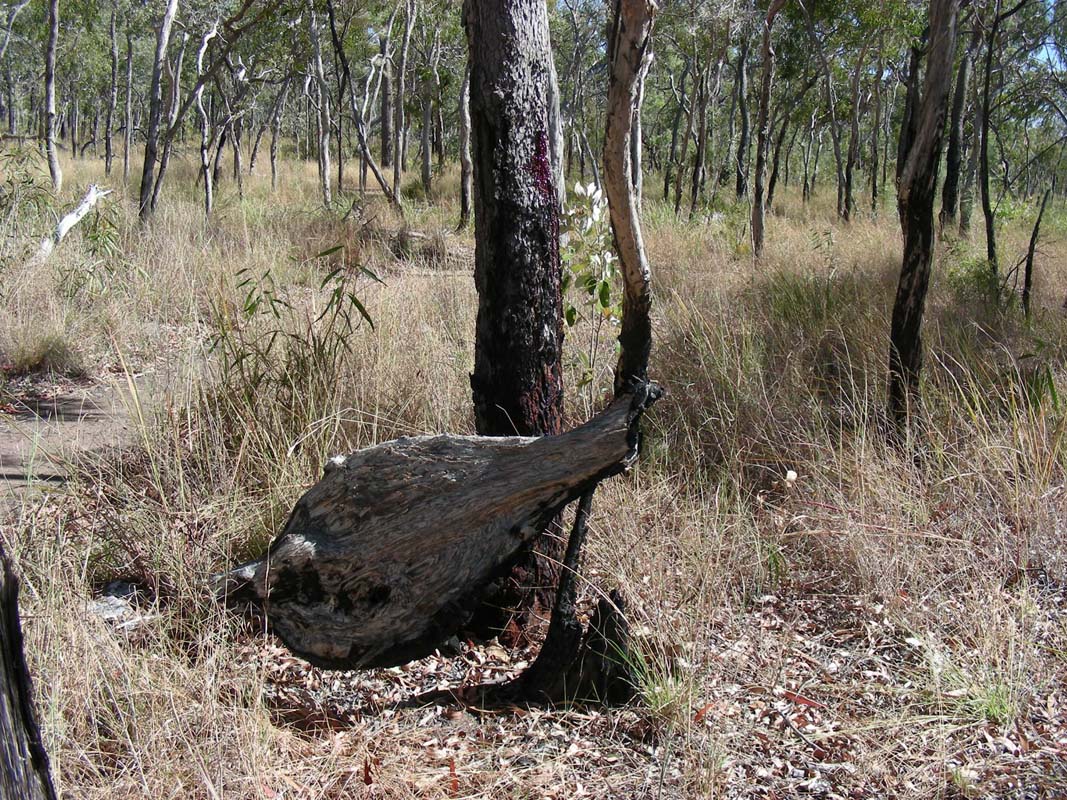
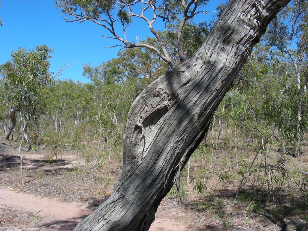
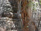
There are also very interesting trees trunks; the patterns
of the bark is amazing.
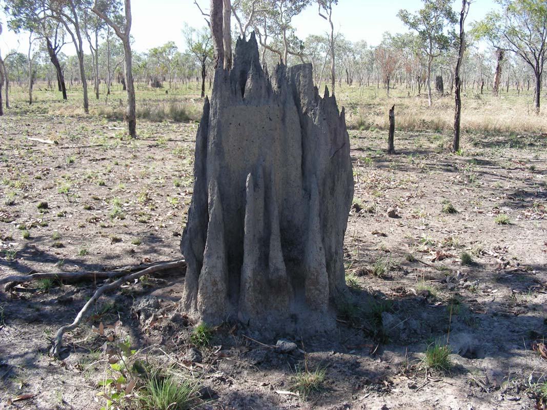
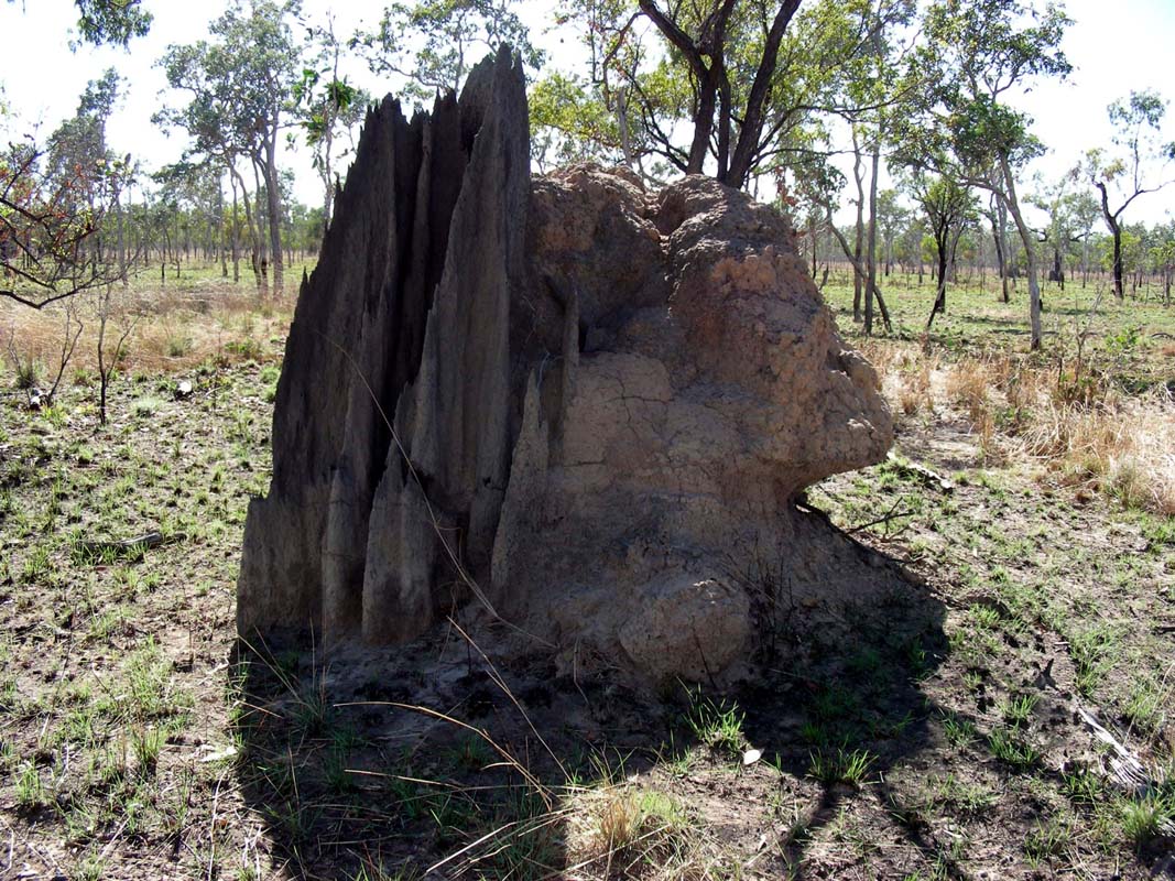
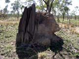
The structure of the termite mounts has changed too.
Up to here there were many small slim towers up to approx.
1 m high.
Now there are fewer and they are large and round.
Their shape is as if somebody had been poring mud over them.
Then it changes again.
Around Yangkanji Billabong (Lake Mary) the termite mounts
consist of many flat towers that are joined together, as
if the termites want to have as much surface as possible
to keep the mounts well vented.


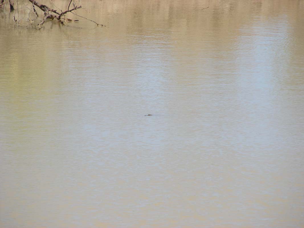
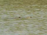
At Cox River Crossing we spot another crocodile ... or
is it just a log?
We also find marks in the sand ... we think ...
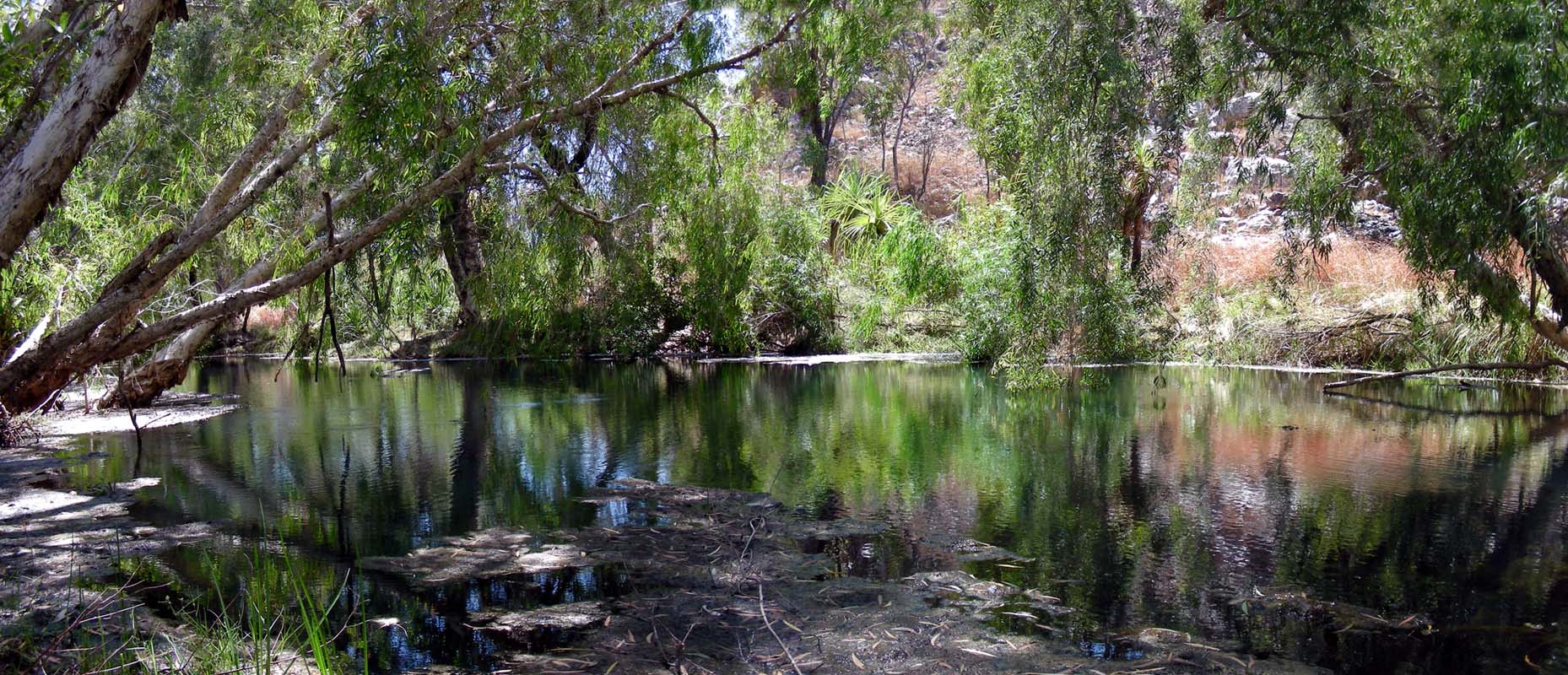
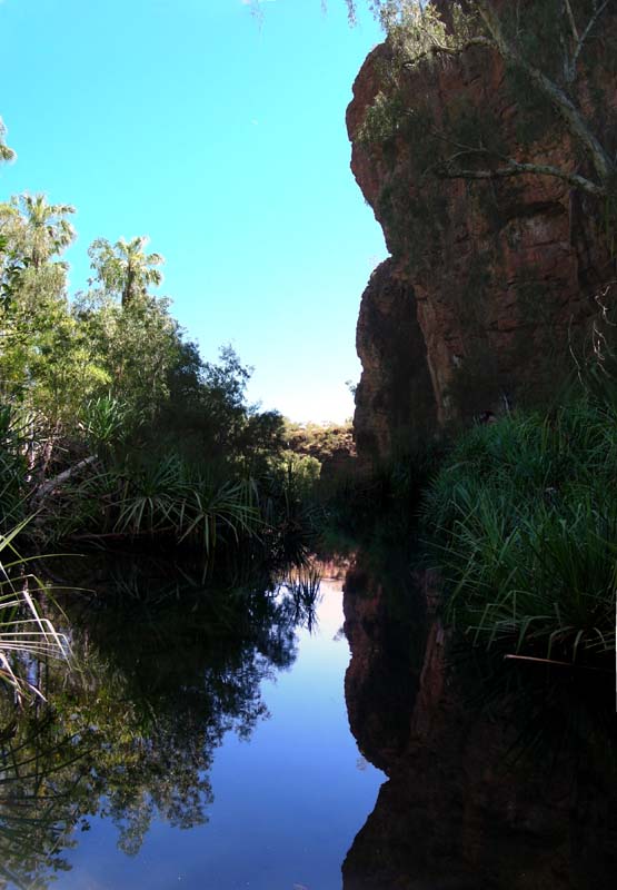
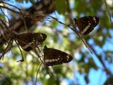
Then we reach Butterfly Springs, where we want to stay
for the night.
The campground is already nicely full.
We find ourselves a spot where we should be ok with our solar
panels.
As we stop the engine we hear a pretty familiar dialect from
the group of people in the camping area just next to us ...
they are from Switzerland .....


Later on we meat them at the pool and have a bit of a chat.
As the water in the pool is rather cool they get all excited
about Lorella Springs where they camped the night before.
Warm springs ..... sounds intriguing ....

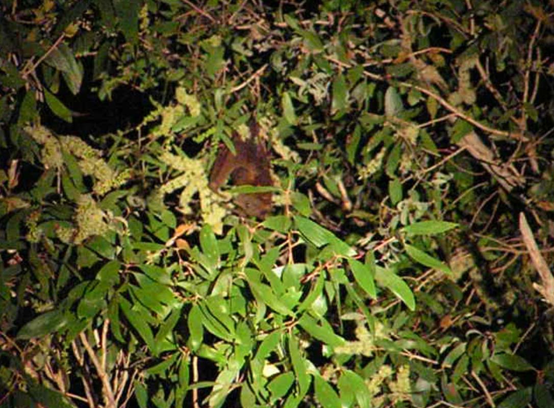
In the evening fruit bats invade the springs.
They decide that the trees around us are the place they
want to hang around.
We don't really mind except that every time the bats leaver
their tree they seem to have the urge to urinate which results
in our campers being sprinkled with urine ... and it stinks!!!!
We stay for an extra day and take it easy on Thursday.
On Friday, August 22, we visit the ranger to pick up the
key for the gate to the Nathan Lost
City.
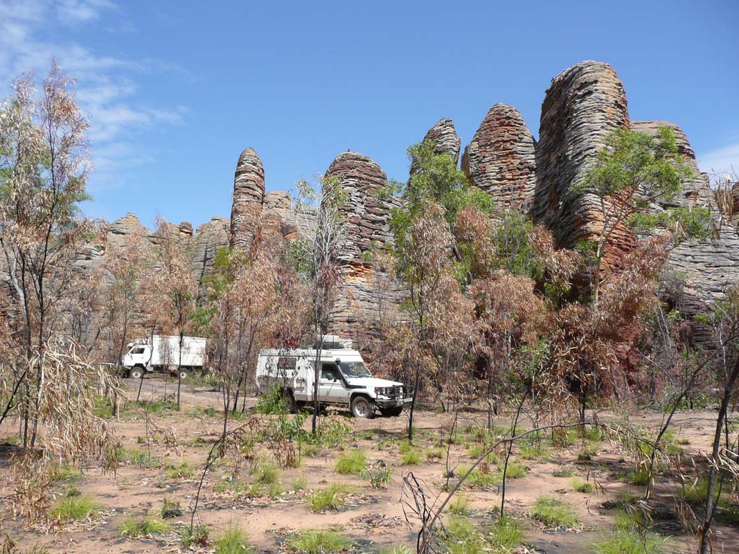
Shortly after passing the gate the track gets rough; some
sections can even be called very interesting.
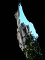
Then we pass through a spot that is almost like a gate in
the rock formations.


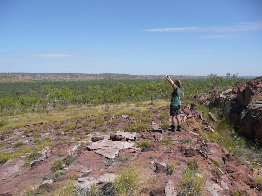
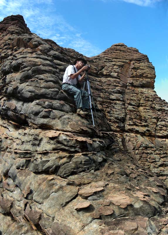
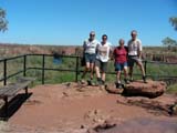
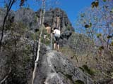
We park the vehicles and climb to the top of the next hill
to have a look at the surroundings.
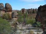
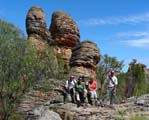
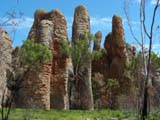


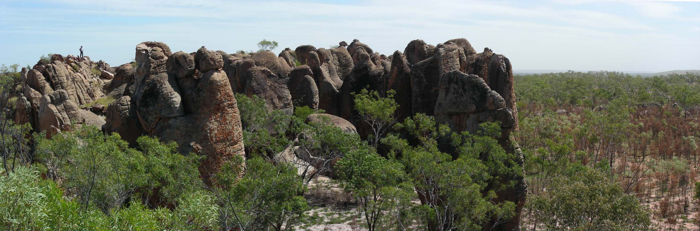
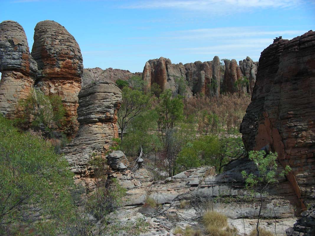
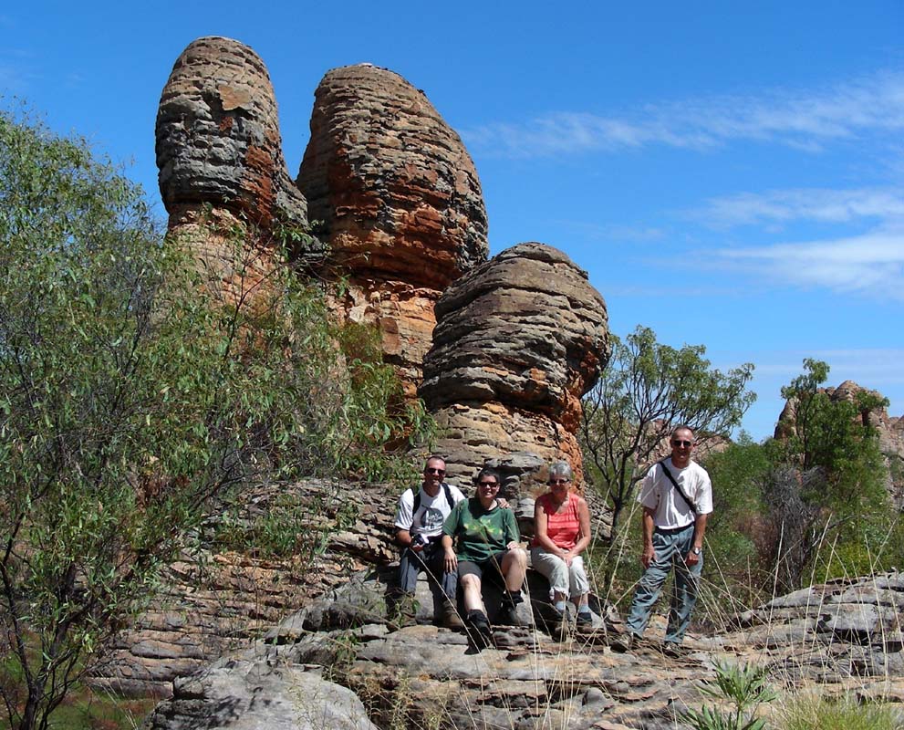
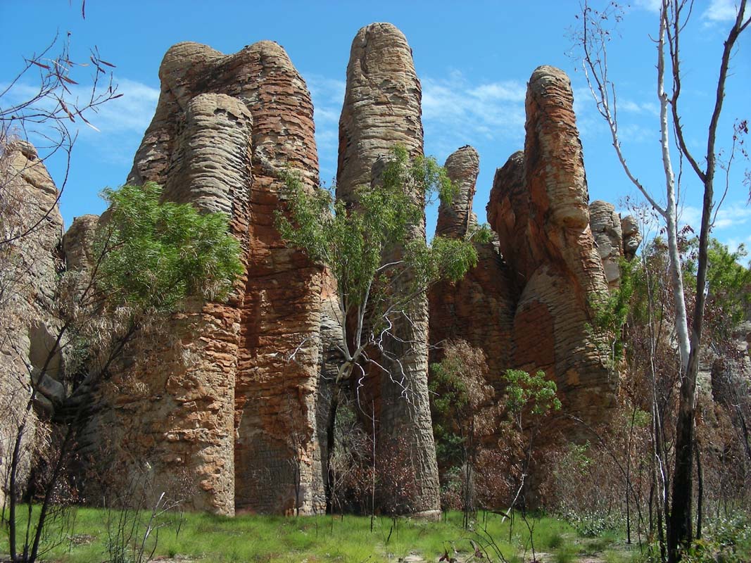
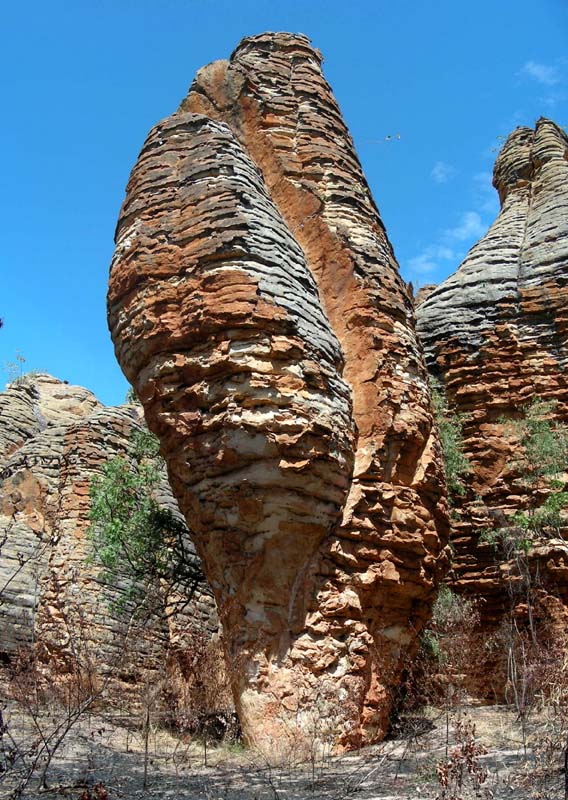
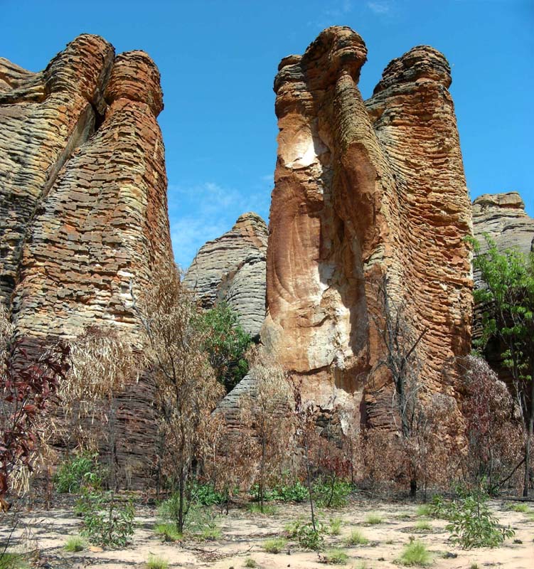
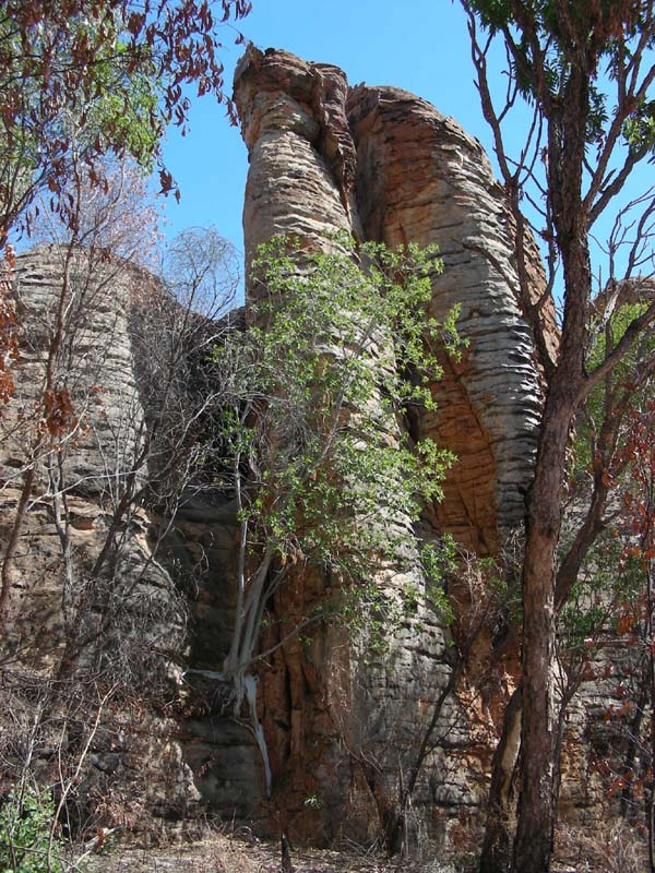
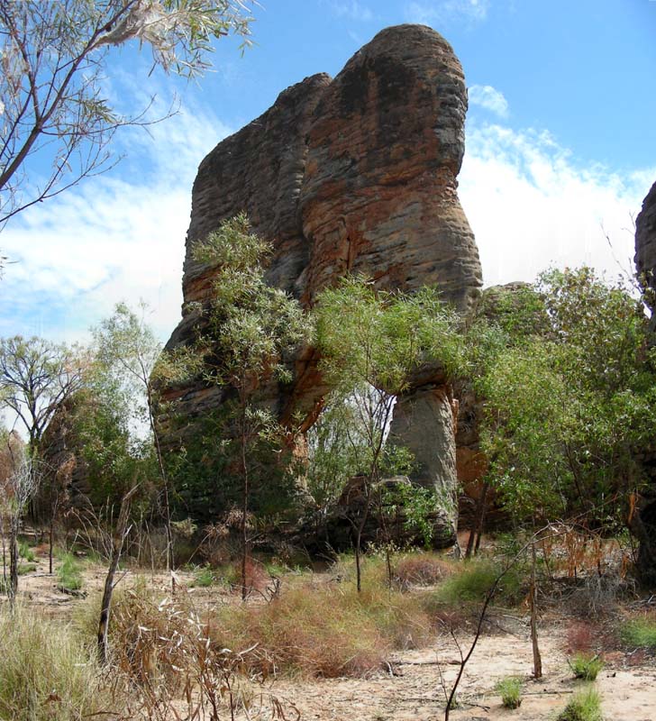
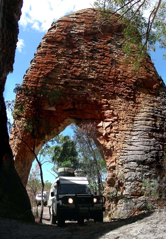
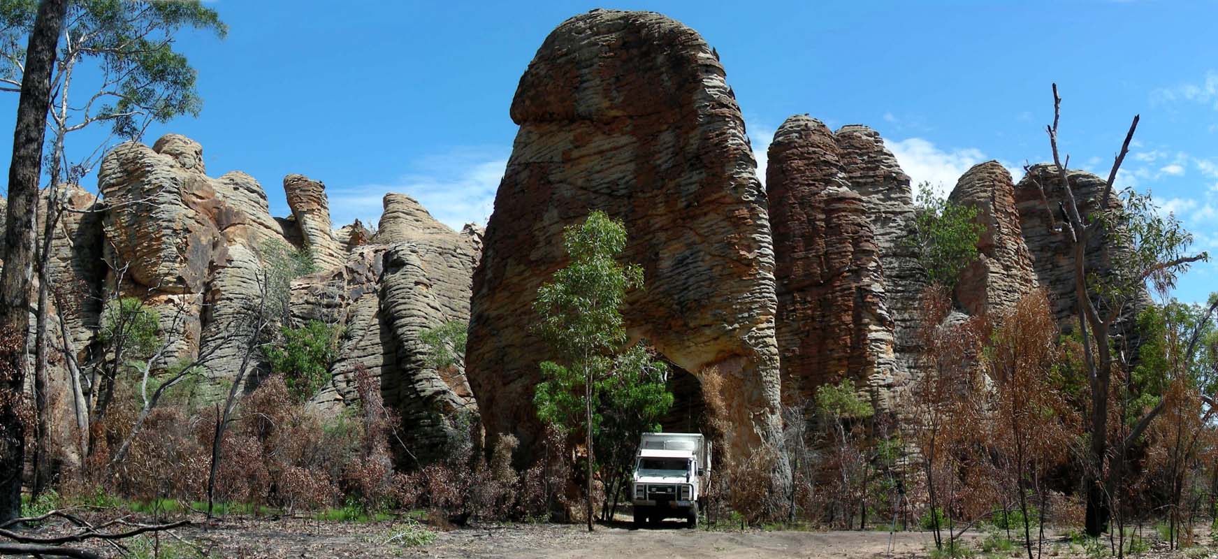
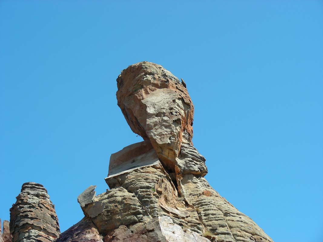
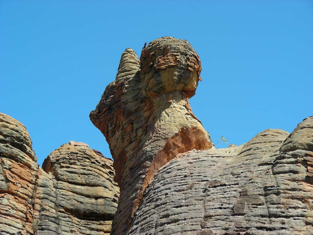
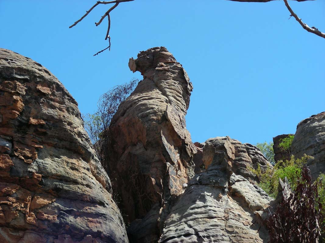
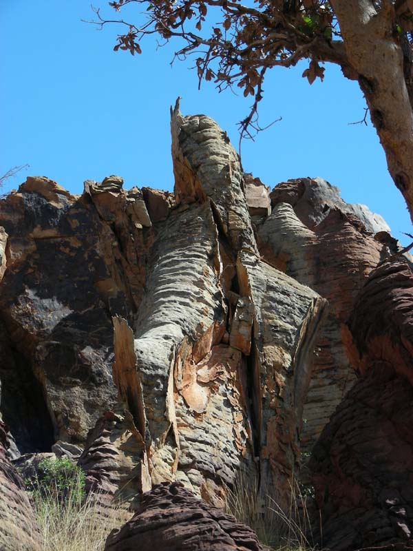
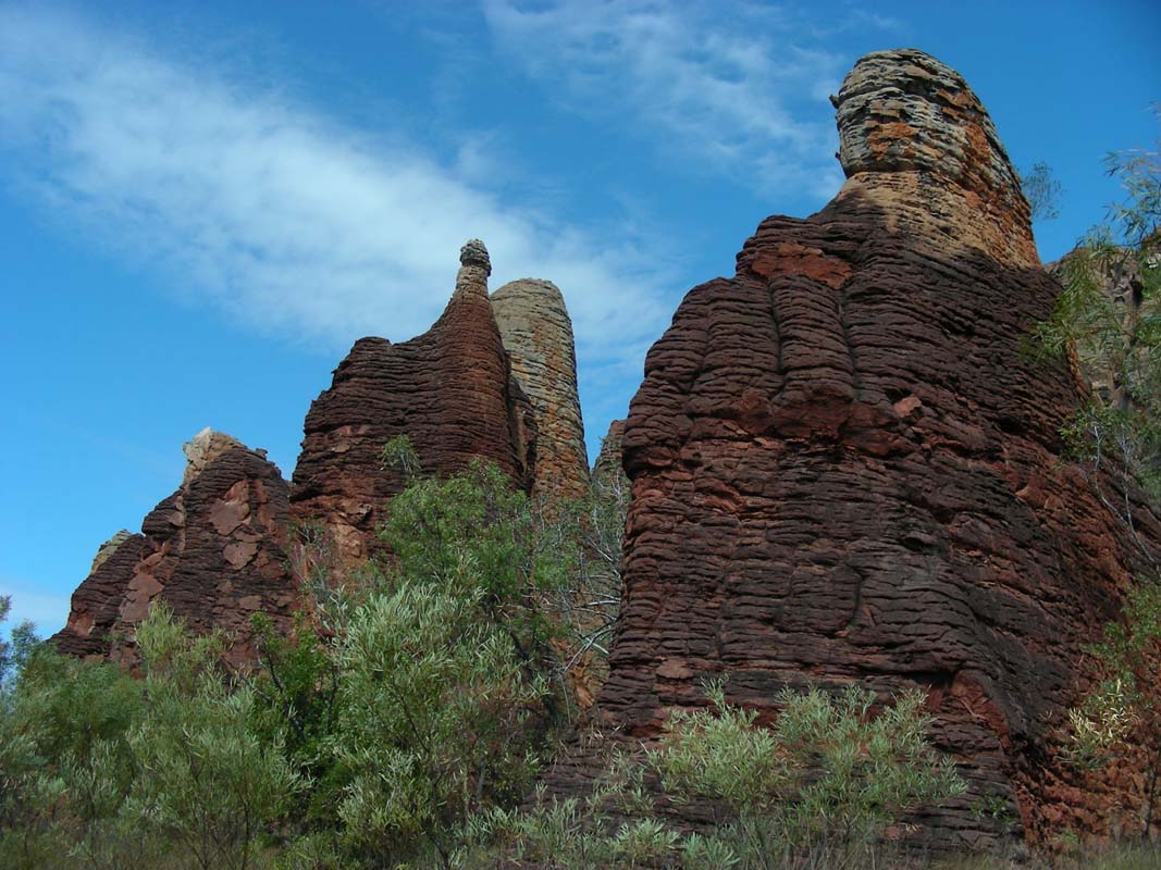
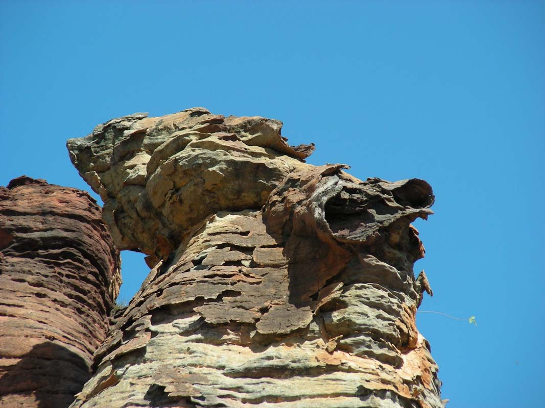
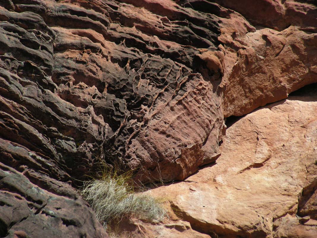
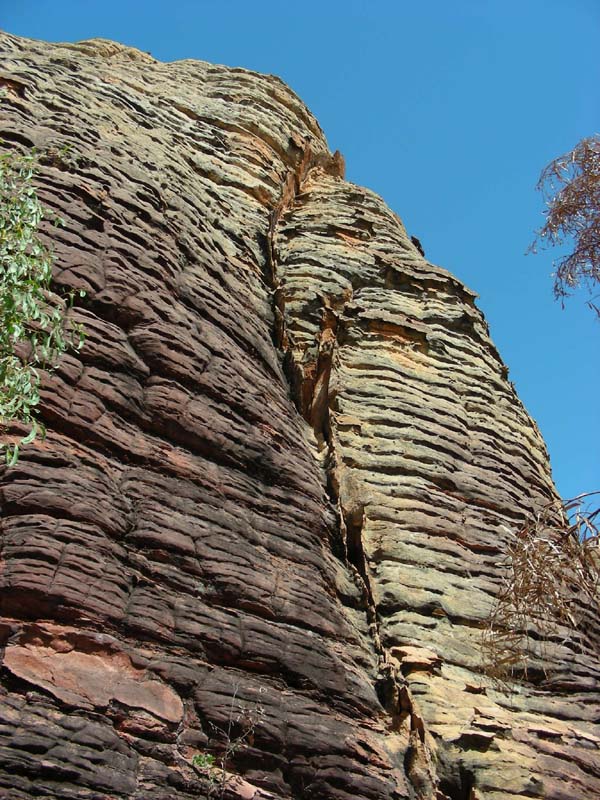
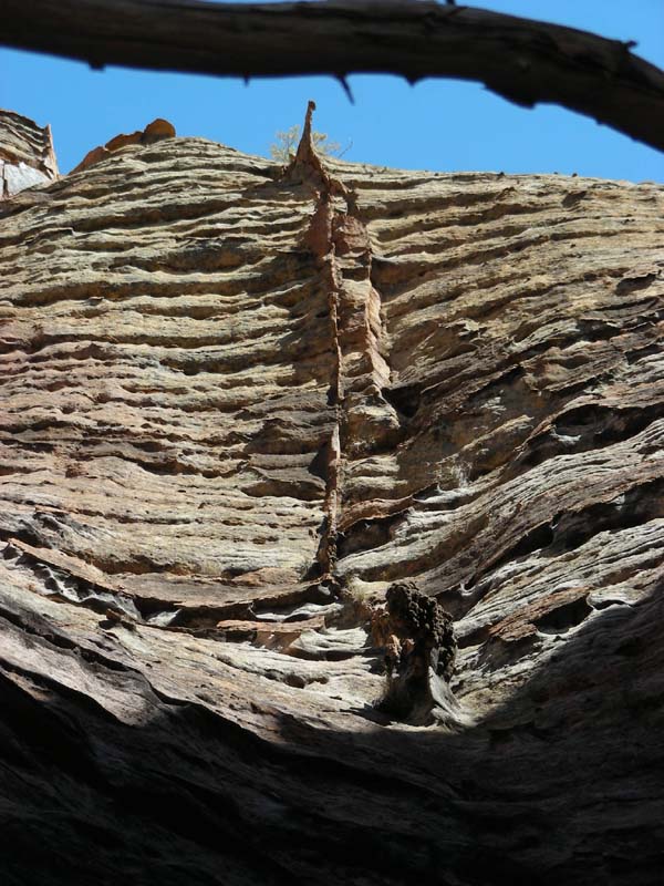
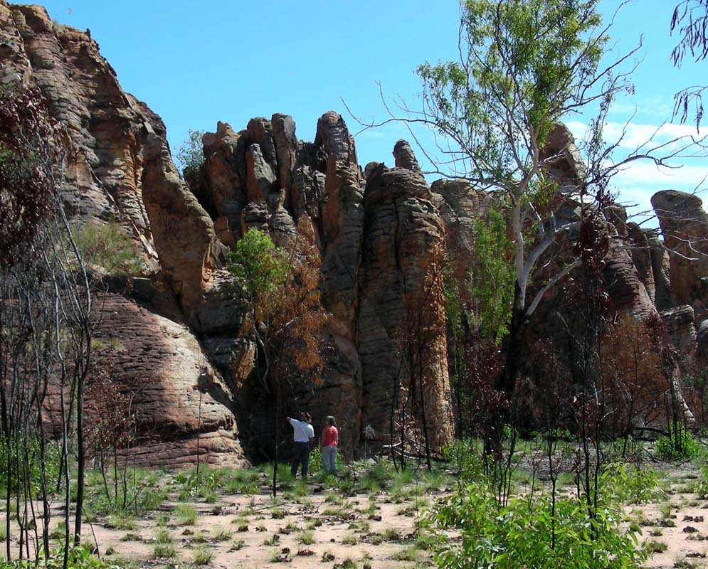
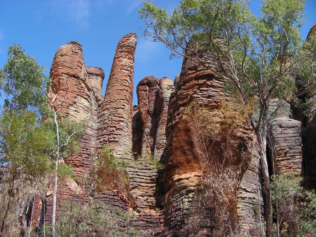
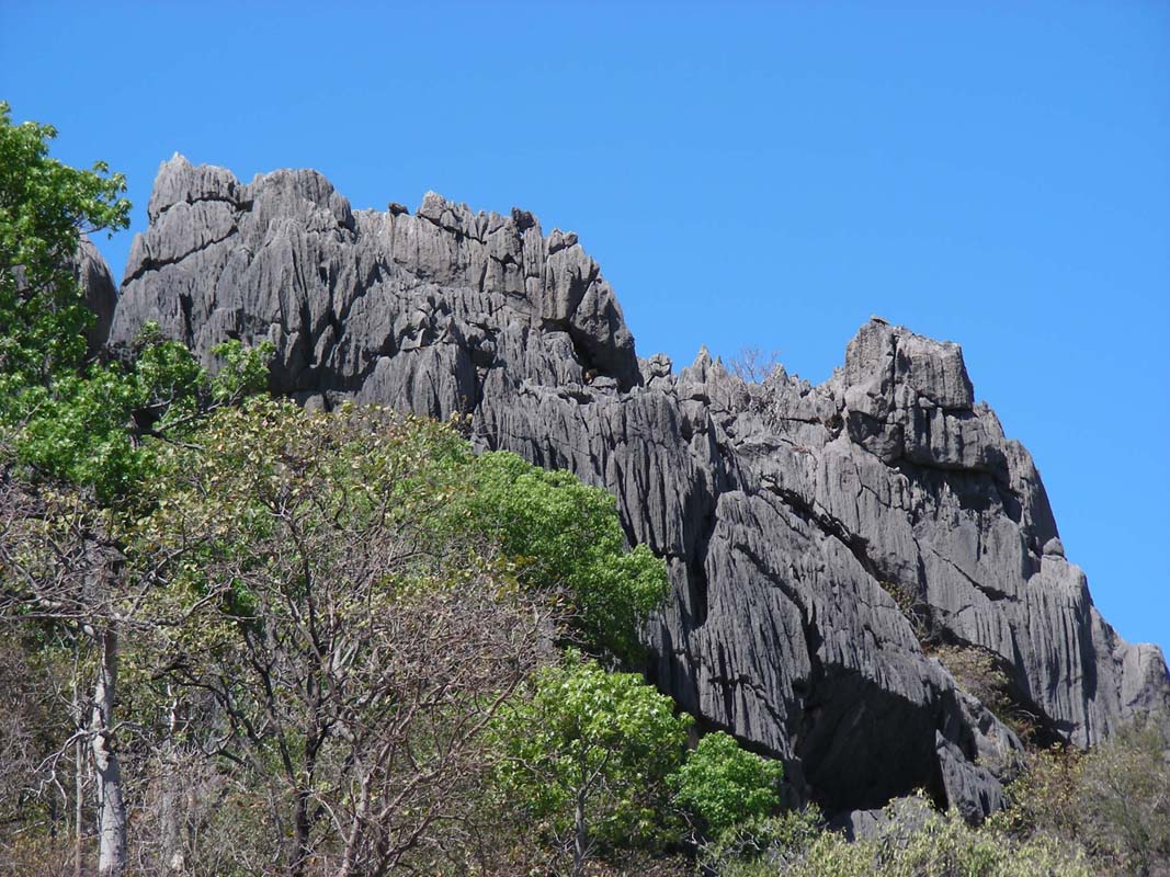
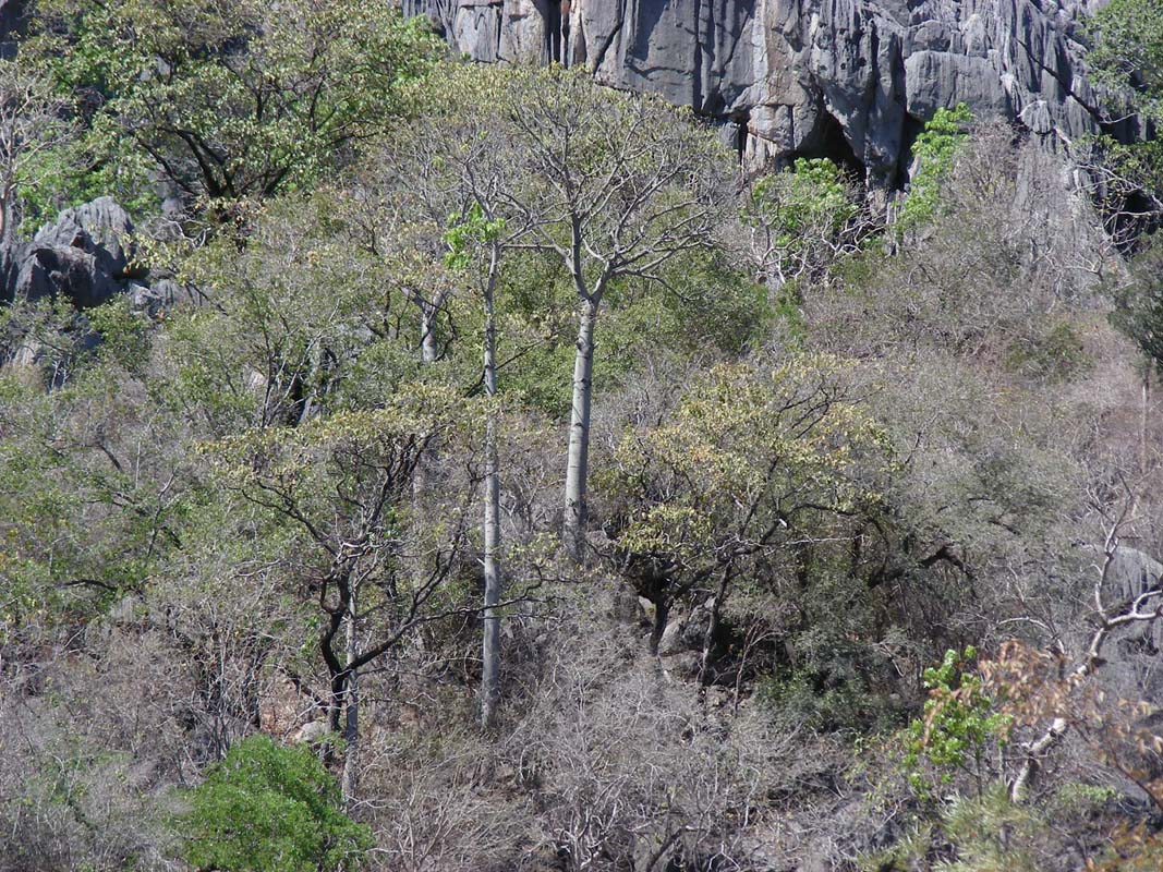
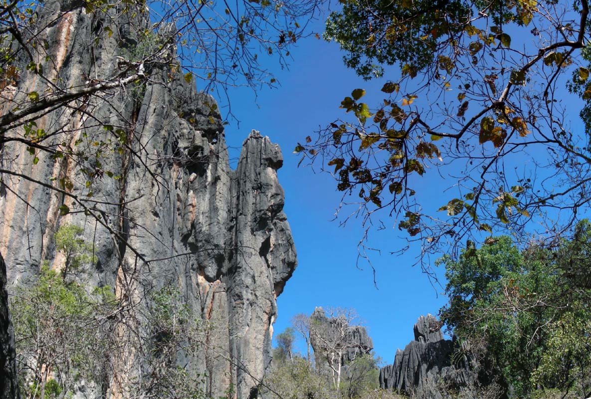
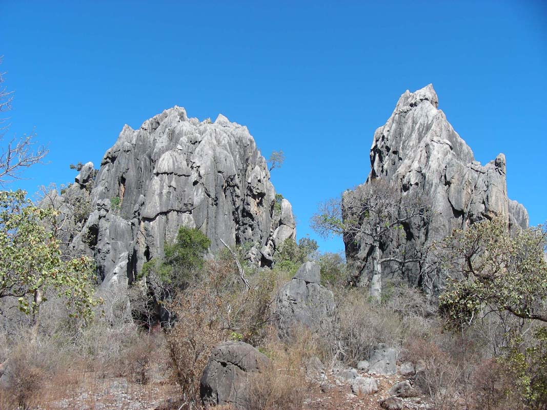
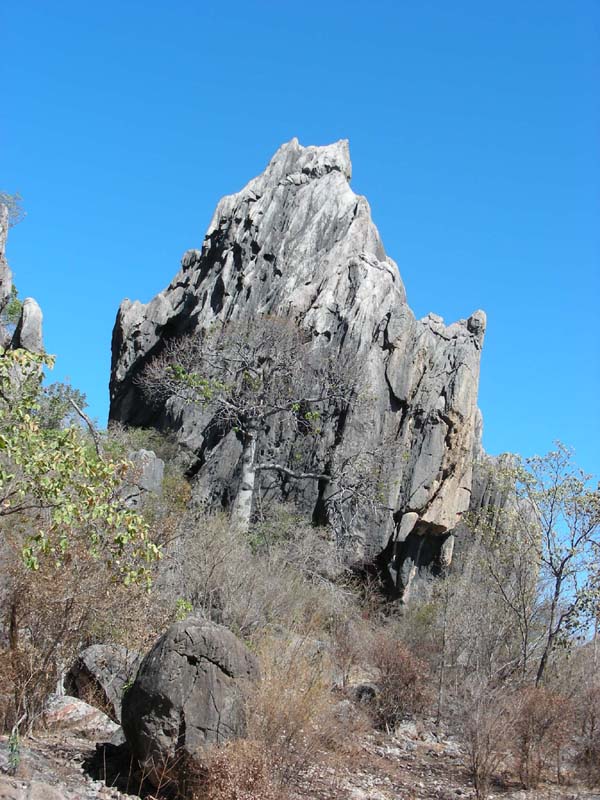
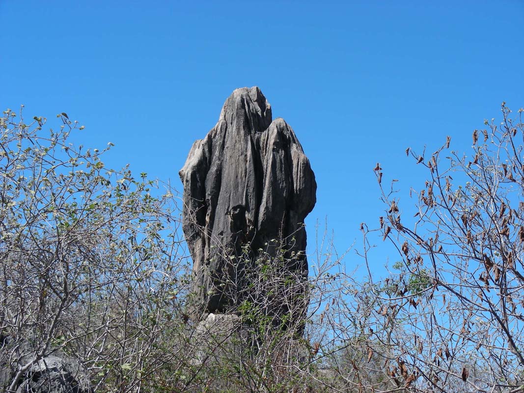
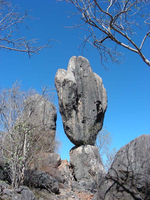
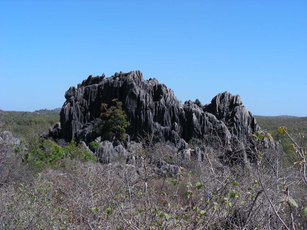
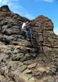
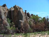
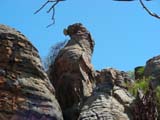
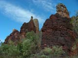
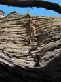
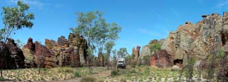
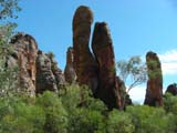
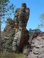
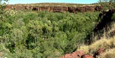
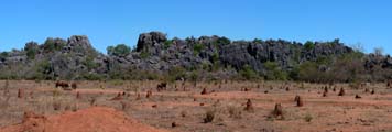
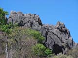
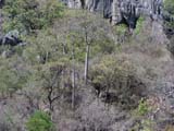
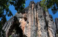
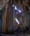
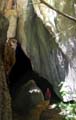
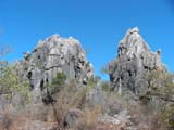
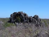
Then we reach the Nathan Lost City and are impressed.

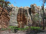

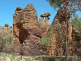
We have already seen a few of the lost cities in Australia
but this one is by far the prettiest one we have visited.


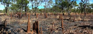
The recent bush fires have removed much of the vegetation
but the surviving plants are blooming.

We also spot animals and also some trees that are survival-experts
...
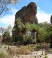
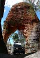

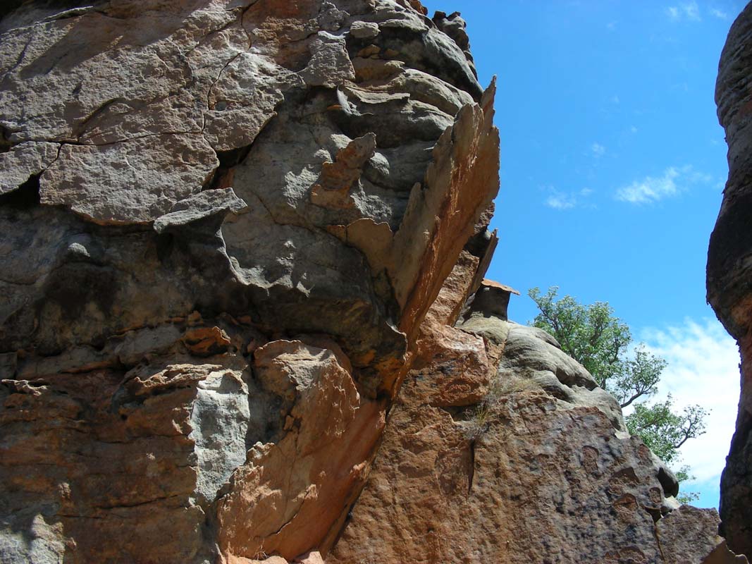
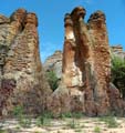
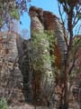
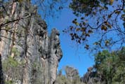
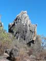
There are at least two arches, one of them is so large that
vehicles can drive through.
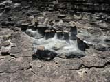
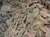

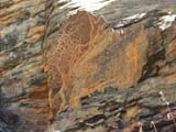
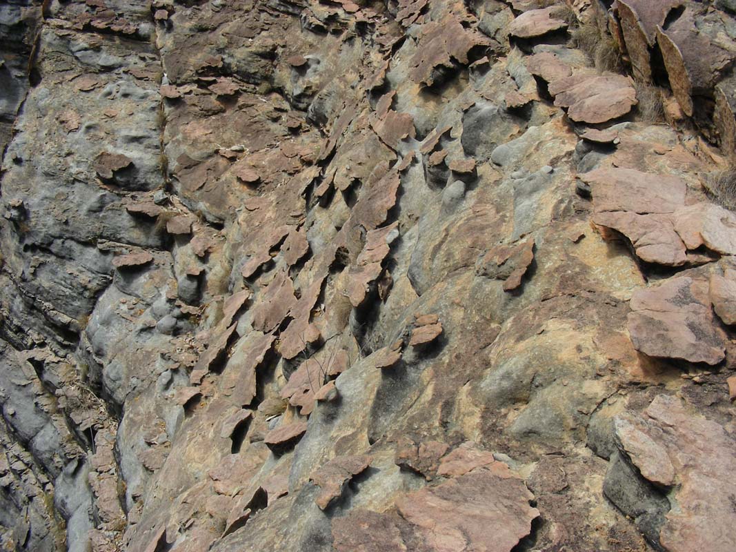
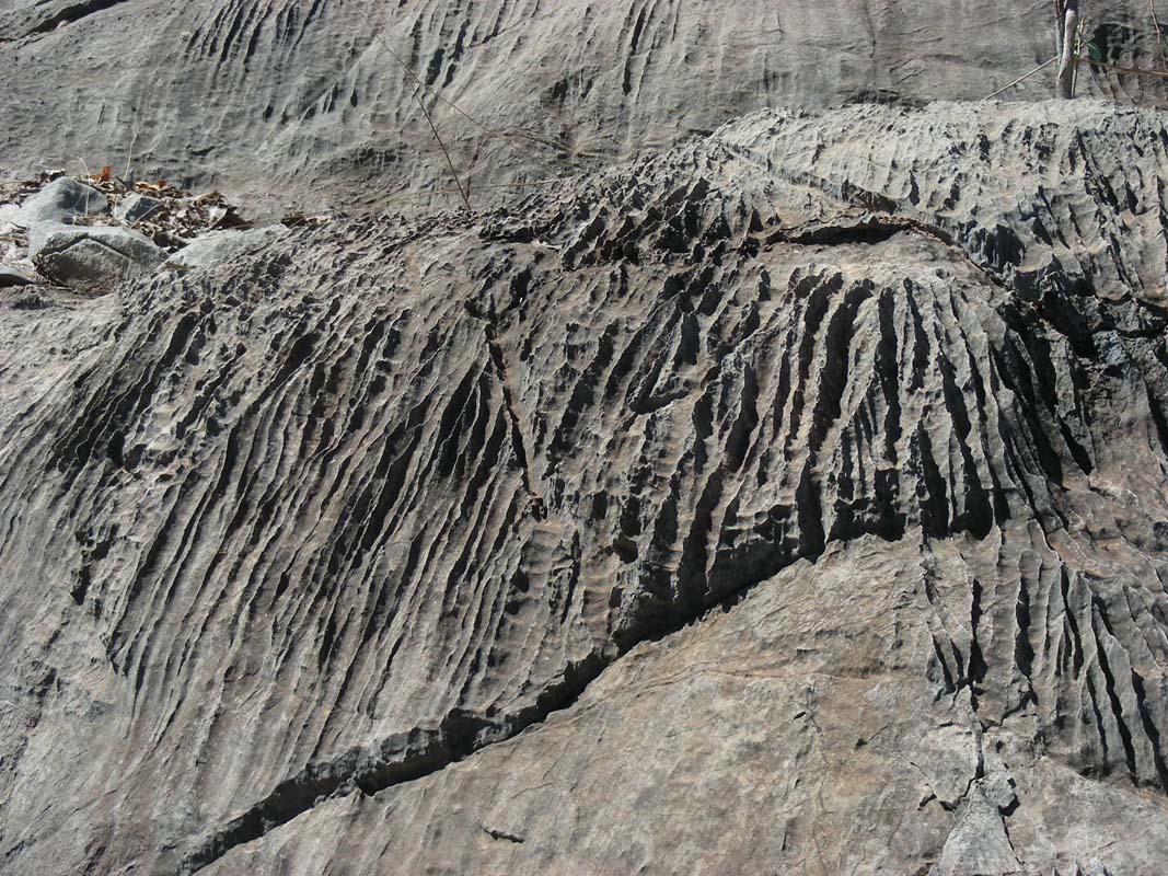
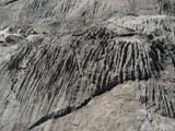
Also interesting is to explore the shapes and colours created
by erosion.
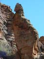
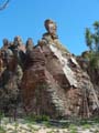
It is amazing what wind and water can do to rock!
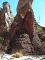
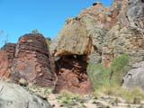
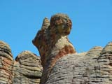
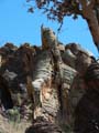
In some cases the rock has shifted down .....

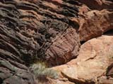

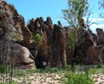
... in some areas due to varying rock types some very interesting
shapes have been formed by the weather over time.

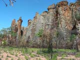
The colours and the formations are very nice and we take
many pictures .... too many .....
Delete delete delete ...? ... it is very hard to pick the
best ones.
Too quickly it is time to head back but we want to reach
Lorella Springs today.
Continuing on the Savannah Way after the
Butterfly Springs the corrugation gets worse
and some nasty wash-outs appear.
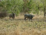
We drive past some water buffaloes.
They are well nourished and seem to do well out here.
There are not too many left.
They are known to carry tuberculoses
so most of them were shut.

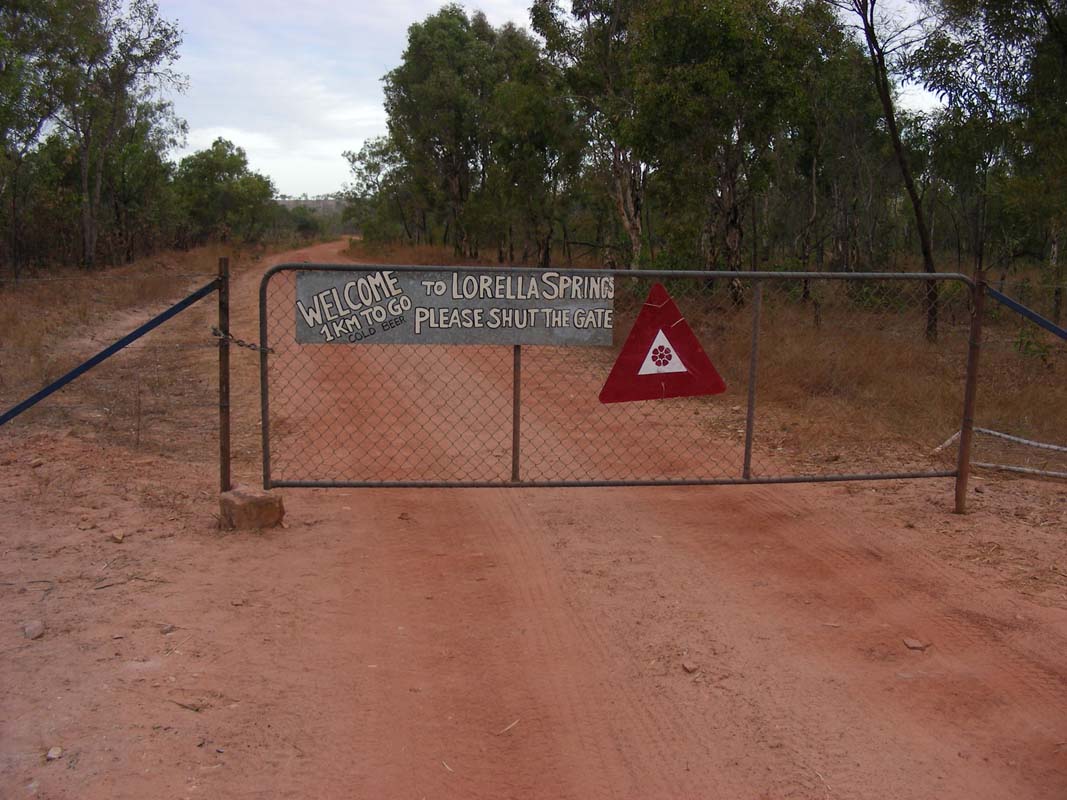
Then we reach the turn-off to the Lorella Springs.
First the road is much better and Heidi & Peter in their
Kokopelli already rejoice.
Then the track deteriorates, gets sandy, has put holes, bull
dust, you name it.
We and the OKA don't mind but they and their Toyota take
a bit of a beating.
Then we reach the Lorella Springs
Campground and spot the
Bremach truck of a Swiss / Dutch couple we had already met at Palm
Valley during our stay in July.
Like Heidi & Peter they have brought their truck over
from Switzerland in a container and drive around Australia
with their plates from Zürich.
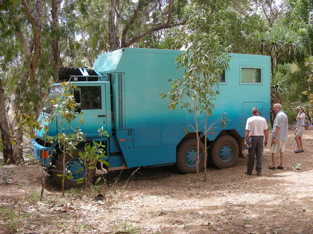
Next thing we spot is a blue Bucher-Duro, a truck build in
Switzerland.
The truck also has plates from Zürich.
Somehow we must be in the wrong movie ... yesterday the group
of tourist from Zürich at the Butterfly Springs, today
the two trucks with Zürich plates in a place that is
28 km off the main track ...

But it is already a bit late and for the moment the most
important thing for all of us is the dip into the warm water
of the thermal springs.
Bliss!
After a windy night on Saturday morning we wake up to an
overcast sky.
For us unskilled weather prophets it looks like some rain
is building up.
But after a while almost all of the clouds evaporate and
the sun shines again.
First we are visited by the couple from the Bremach, then
the couple from the Duro comes up for a chat and then it is
lunch and we have to hurry up a bit.
We get some valuable details about Cape York from the manager of the
camping as he has been up there some 15 times already.
Then we quickly visit the thermal springs and off we are.
We head to Borrolloola via the Ryans Bend
Road, where after some shopping and refuelling we head down
to the boat ramp and set up camp for the night.
This tip also came from the manager of the Lorella Springs
camping.
Thanks for that!
Early on Sunday morning after a warm night we are woken
up by the birds once more.
It is a lovely place down here at the boat ramp.
As there is no wind yet all is mirrored in the water.
But there are tons of mozzies and they are active!
It is overcast again and we are not sure about the weather
but we have no forecast so we will just have to take it as
it comes.
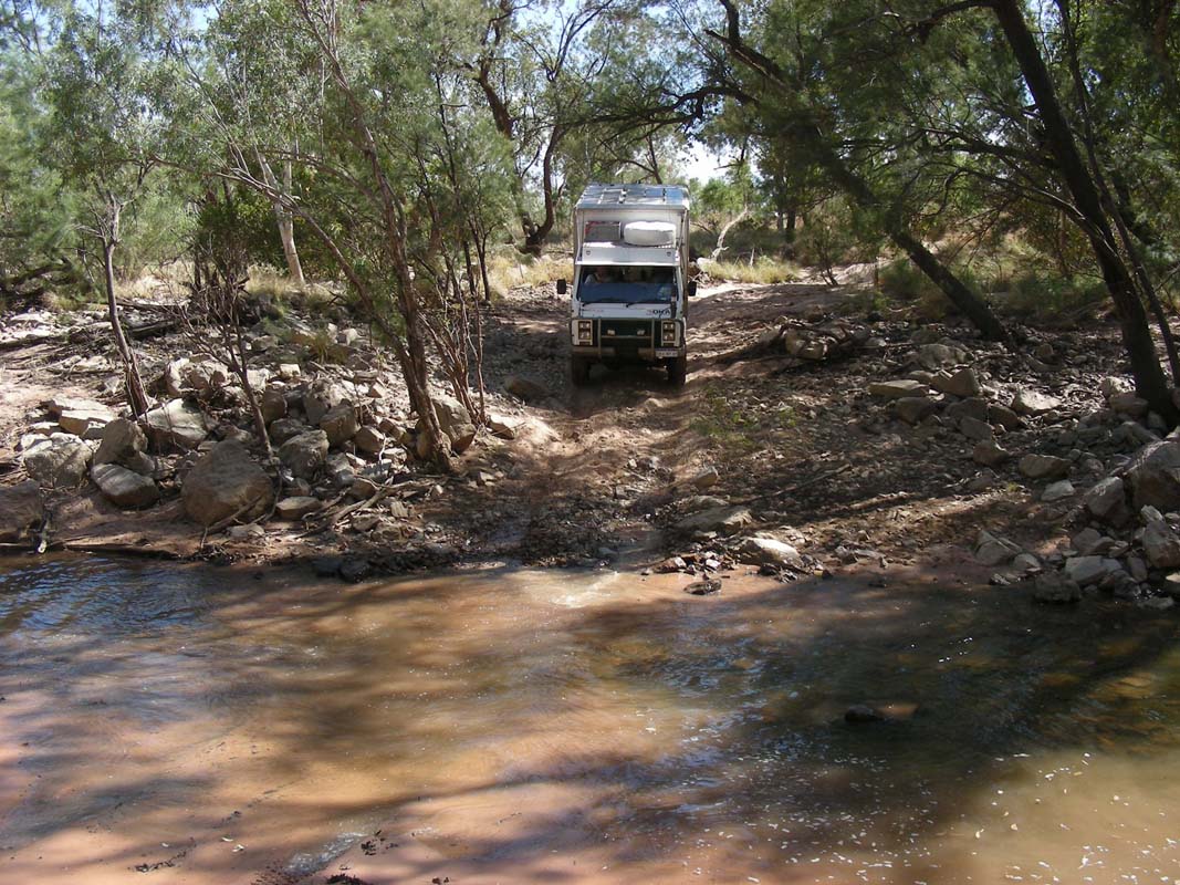
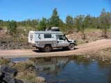
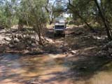
We continue on towards the Queensland border and pass many
nice creek crossings.
Especially one of them, Robinson River
Crossing, is very
nice.
The creek forms small puddles where one can have a dip without
having to fear the crocodiles.
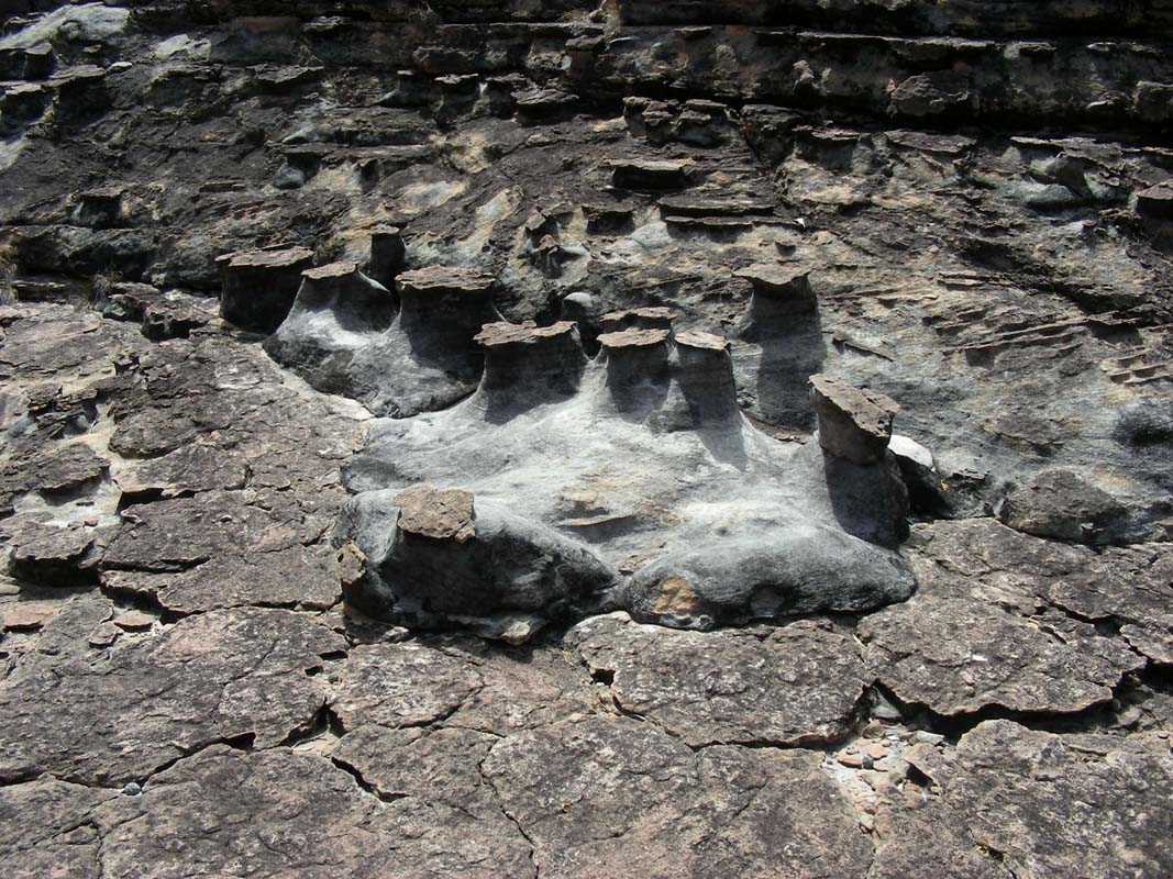
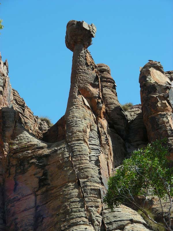
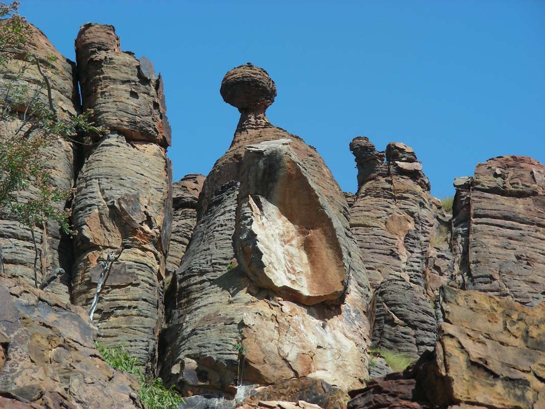
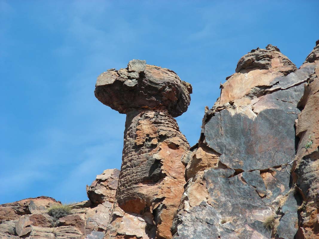
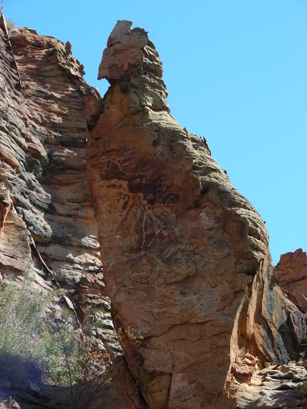
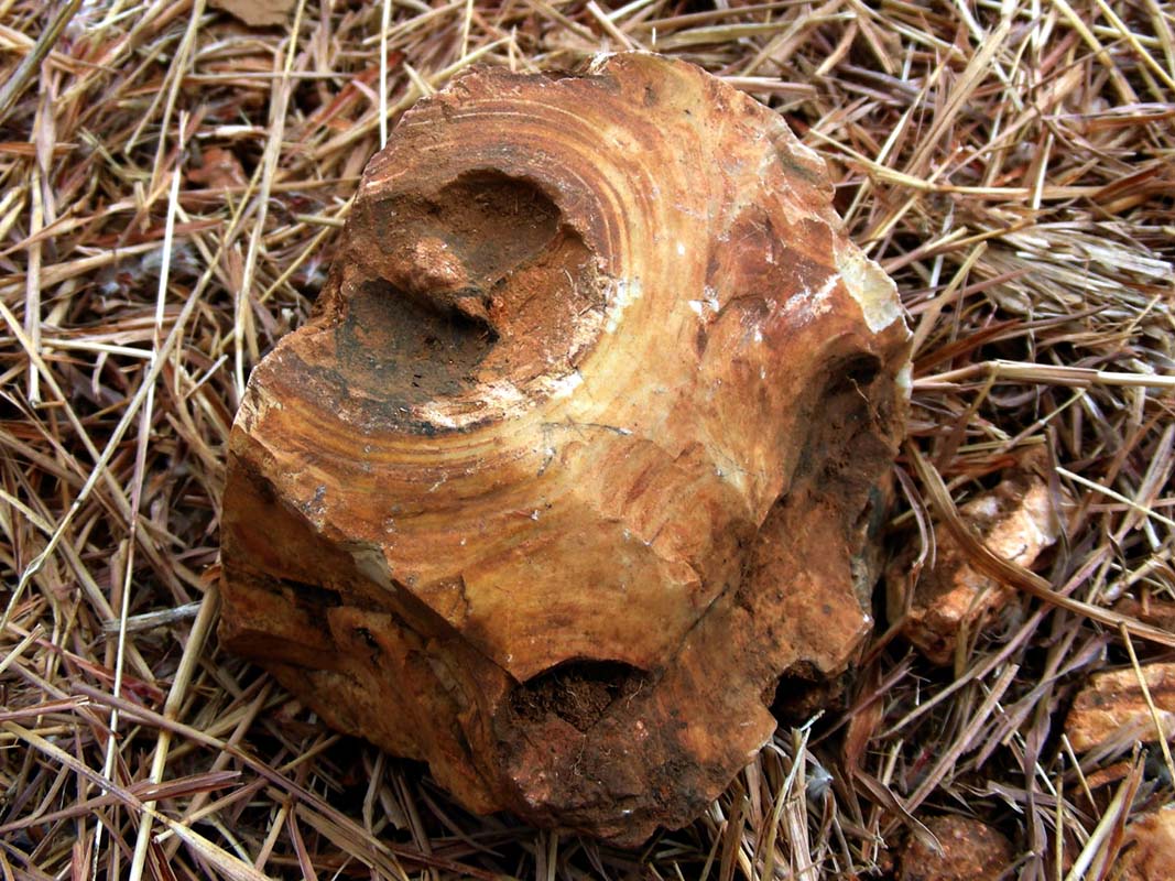
Right after Calvert River we stop for lunch and discover
these interesting rocks ....
By now the sun has burned away the clouds and the temperature
has risen to over 30°C.
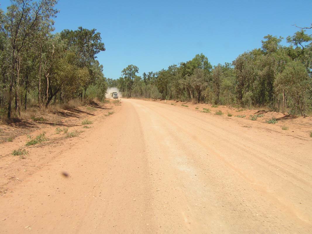
The corrugation on the track gets worse and worse.
Also some sandy sections appear, some with pot holes in them
that are hard to be seen.
We pass Wollogorang Roadhouse which is no longer open for
business.
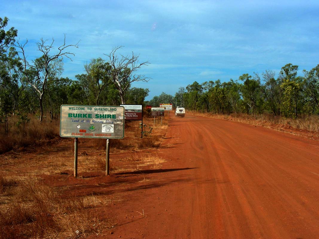
Then we reach the Queensland border and are relived that
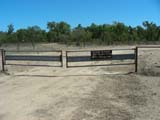
no quarantine offices are standing there with their bin.
We continue on and reach Westmoreland
Station.
They must be used to tourist, especially fishermen, as there
are "No camping" signs on the tracks leading to the lagoons.
A bit further down the road we find a spot just beside the
road where we can stand.
It's nothing special but it's flat and will have to do for
the night.
Peter & Heidi's power supply for their GPS and iPack
has given up on the corrugation and we cannot fix it.
That means that they will have to navigate with the paper
maps we carry with us.
Once again we learn that electronic equipment is great but
one still has to carry the paper backup-solution along .....
The night is very comfortable with the temperature staying
at 19°C.
We are definitely travelling toward the tropics.
On Monday we continue on passed the Hells
Gate Roadhouse which against the info found on the internet is actually
open.
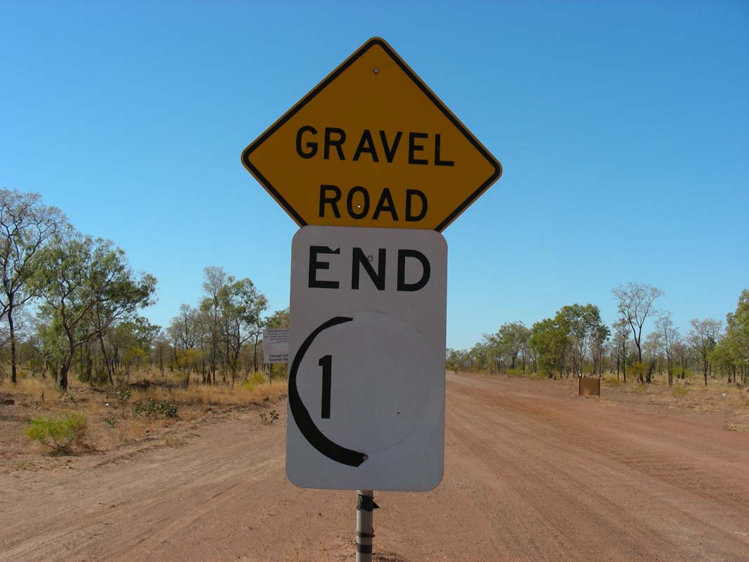
After the roadhouse there is a stretch of bitumen.
At the
end of it we see a sign "End of 100" and wonder how much
we can drive now ....
QLD to our knowledge has a 100 km/h limit ....
The dirt track has a decent quality with only a few sections
with bull dust.
Later on we reach a road plant and also bitumen and a 100
kmh restriction.
Looks like the bitumen has been extended from Burketown to
almost to the QLD border.
But it does not last long, only to the turn-off to the Lawn
Hill National Park.
We also pass a sign regarding the transport of alcohol.
At least here the signs are clear and not as confusing as
at the WA / NT border.
But Susi gets confused about one
other sign:
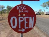

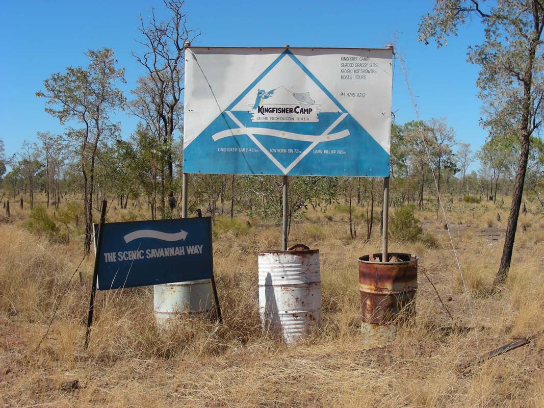
"K.F.C
42 km"
... a Kentucky Fried Chicken out here?
It seems that other people also have had the same association
as somebody has written on the sign above "King Fisher Camp
42km".
We turn into the track that is narrow but in
good condition.
It probably has too many curves for people to drive
it too fast and generate corrugation ....
We reach King Fisher Camp and when we enquire regarding the
track to Lawn Hill NP we hear that the Swiss couple with
the Bremach is staying here.

We head over and have a bit of a chat.
Then we tackle the track (or "slow road" as it is marked
on the sign) to Lawn Hill National Park.
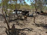
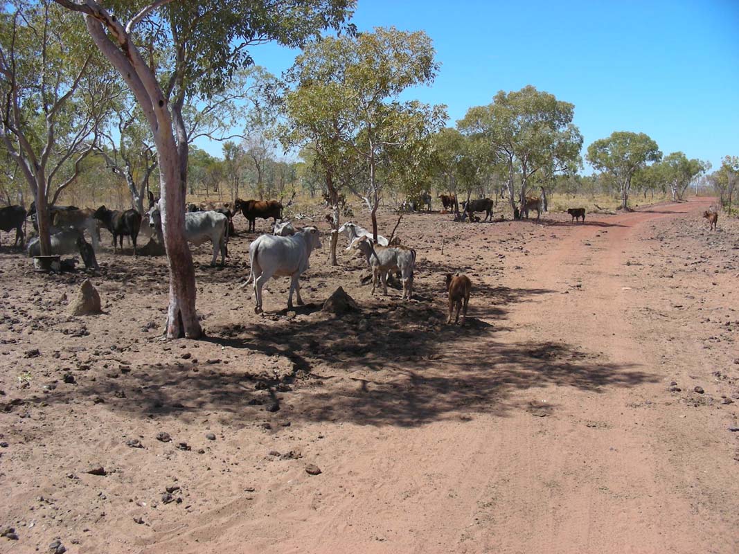
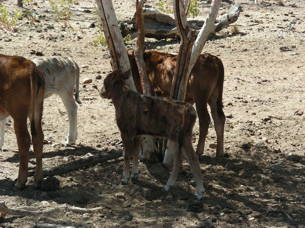
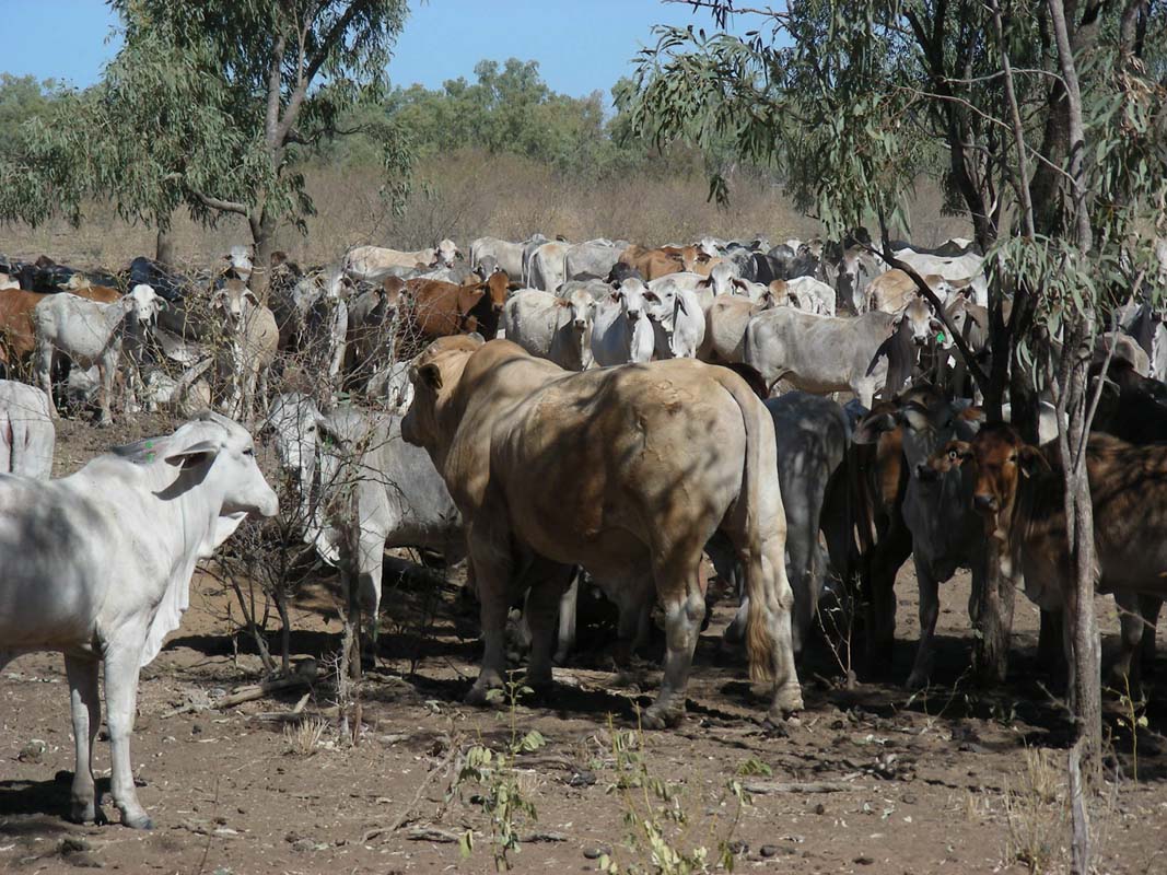
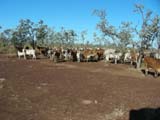
More and more cattle appear along the track. There are many
very young ones there too ...
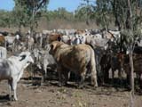
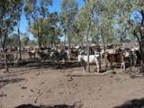
.... some "big boys" .... some large mobs ... but they
are all friendly.
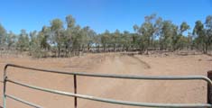

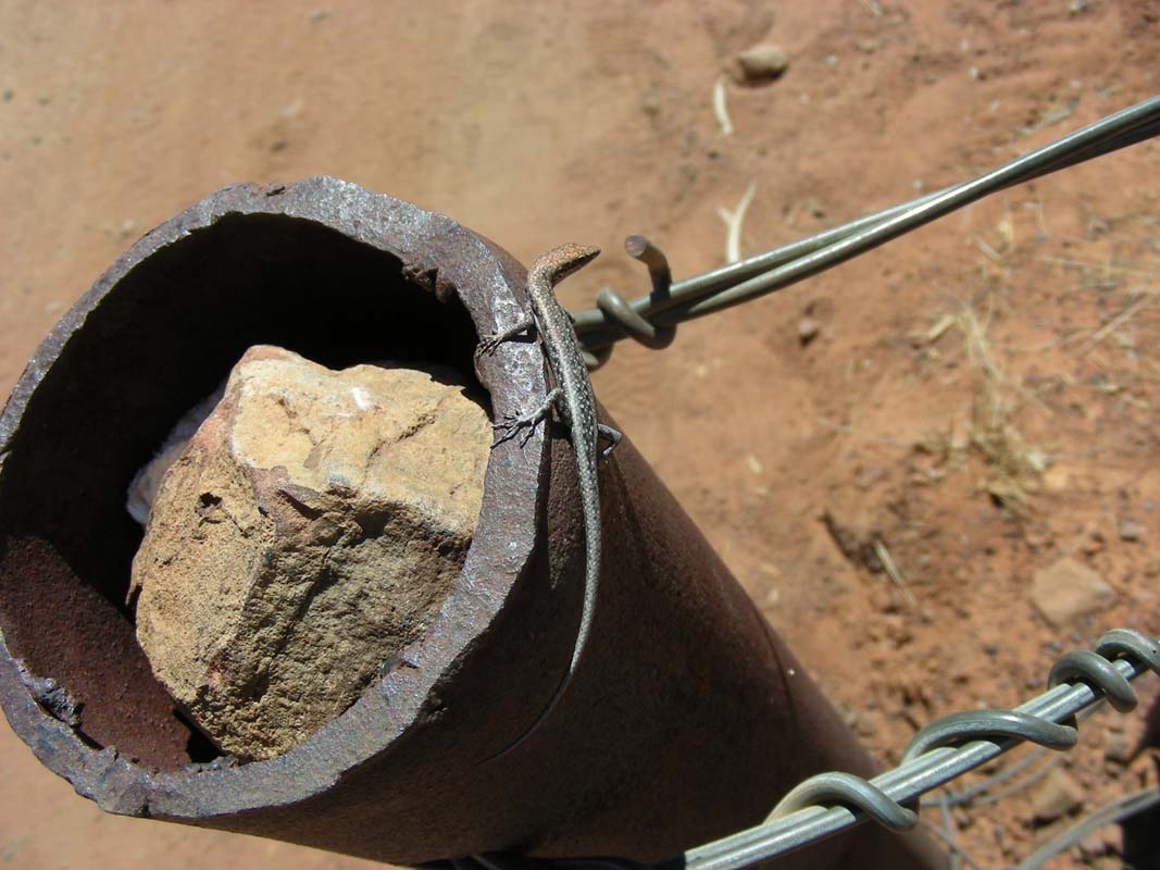
Also more and more gates have to be opened and closed, some
with "occupants" ....
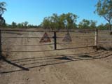
... some with "decorations" ...
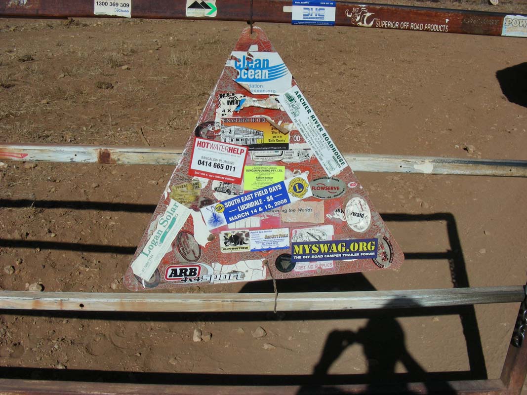
Also some good signs can be seen along the track ...
It is an interesting track with lots of dips, a few wash-outs
and some creek crossings.
The nicest creek is the one just
before Lawn Hill Station, where one would like to just hop
out of the vehicle and into the running water of the creek.
We reach Adel's
Grove and settle down in the campground for
the night.
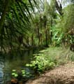
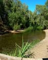
Then we head down to the river.
The river is very pretty but the water is fairly cold (too
cold for Susi .....).
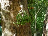
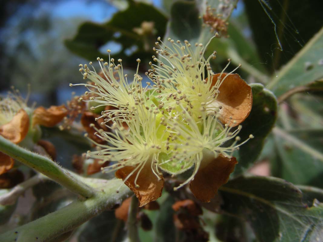
There are also large fig trees with ripe figs on them.
Of
course we have to try them, they don't taste too bad.

Then we go for a stroll along the river.
It is well mantainend
and the views are very pretty.
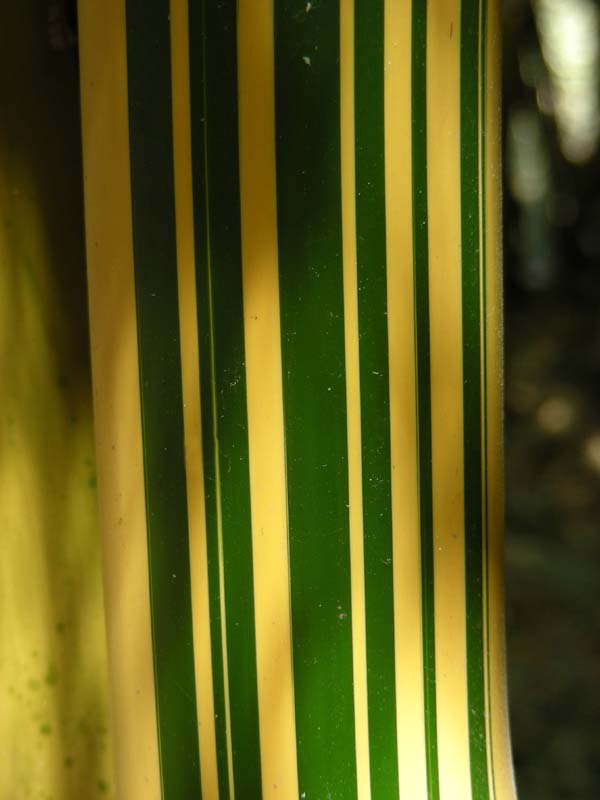
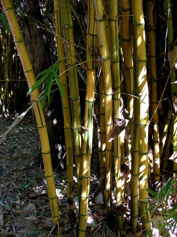
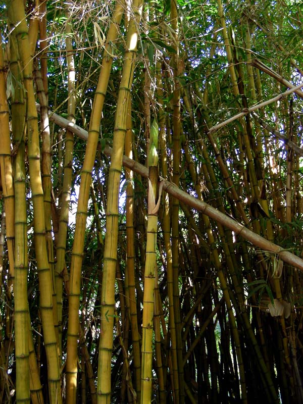
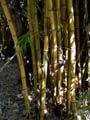
There is a lot of bamboo growing along the water.
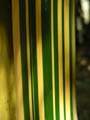
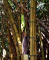
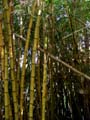
We are fascinated by the colours of the
individual parts of the cane, such a variety.
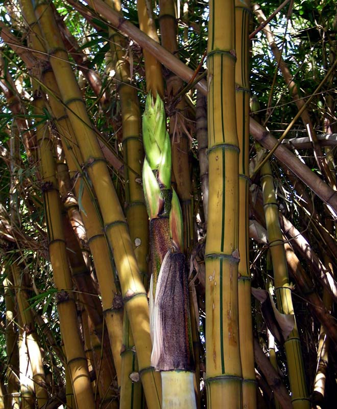
Also the shoots are interesting.
Apparently they can be
eaten .... we cannot try it as it is a National Park ...
The birdlife is amazing too.
We hear many new birdsongs we have not heard up to now.
Especially as night closes in the birds have one last song
for the day .... it's a great place.
Susi is due for cooking; she also bakes fresh bread
on the Cobb.
That will be for tomorrow's breakfast .....
We also have a look at the ADELS GROVE CAMPER'S GUIDE and
get a good laugh out of it.
Here some extracts:
"...
Our use of rocks allows changes to the pattern as
needed.
We ask that if you find it necessary to shift any
of these rocks whilst you occupy your site then please put
the bloody things back the way they were before vacating
as they also act as erosion stoppers and collectors of leaf
litter for soil improvement.
...
DOGS: Since many people have a dog travelling with them,
and the National Park prohibits entry to domestic animals
we have a policy which allows for such pets.
In consideration
to our other guests and of course our wildlife, we ask that
your dog be kept restrained at all times, does not enter
the amenities block and does not bark all bloody day and
night.
Your dog will be asked to remove itself from the property
if it contravenes these few simple rules.
....
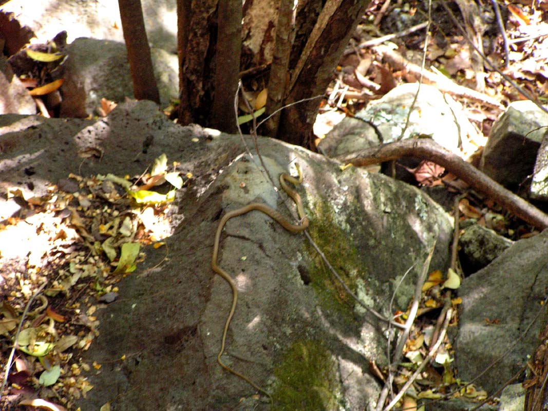
Occasionally you might also see our Black-headed python
- he can be up to about 2,5 metres long, golden brown with
dark brown stripes around body and a jet black head (non
venomous).
In the water you may see Macleay's Water snake,
rich dark reddish-brown on top and white on lower sides and
belly - mildly venomous but very placid by nature.
Also in
the water you may encounter the Arafura File snake - quite
dark in colour, up to about 2 metres long and non-venomous
- although he still frightens the hell out of you.
After dark is when you might see our Olive python, olive-brown
in colour, up to about 4 metres long and as thick as the
top of your arm.
This bloke feeds on warm blooded animals
such as birds and wallabies and although no cases of human
predation are known to us, babies and very small children
could well fall within the size range of prey for this reptile.
We do not seek to alarm you unduly with this information
but merely to make you conscious of the possibility.
Although
snakes have the small openings they cannot open tent zips
or caravan doors.
..."
On Tuesday, August 26, the birds really get going shortly
after 6 AM.
There are many different ones but they don't sing the same
songs as last night.
Still, it's very nice to wake up to such a sound.
We have a long breakfast with fresh bread and three different
marmalades.

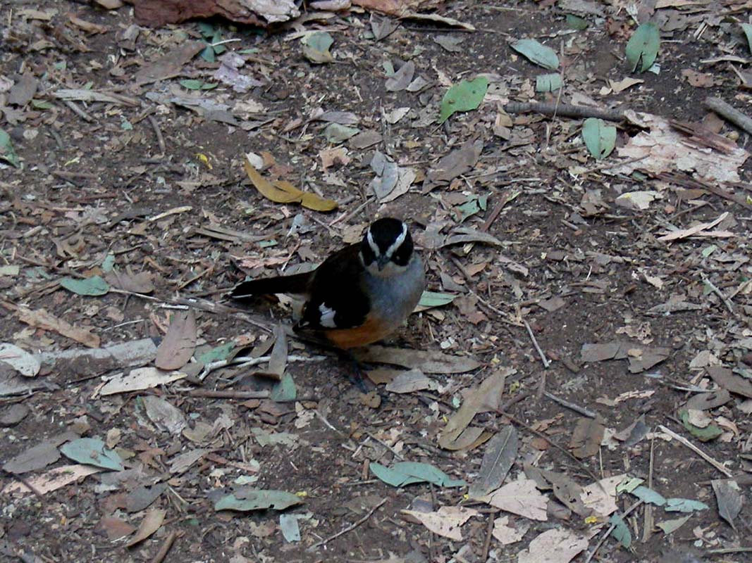
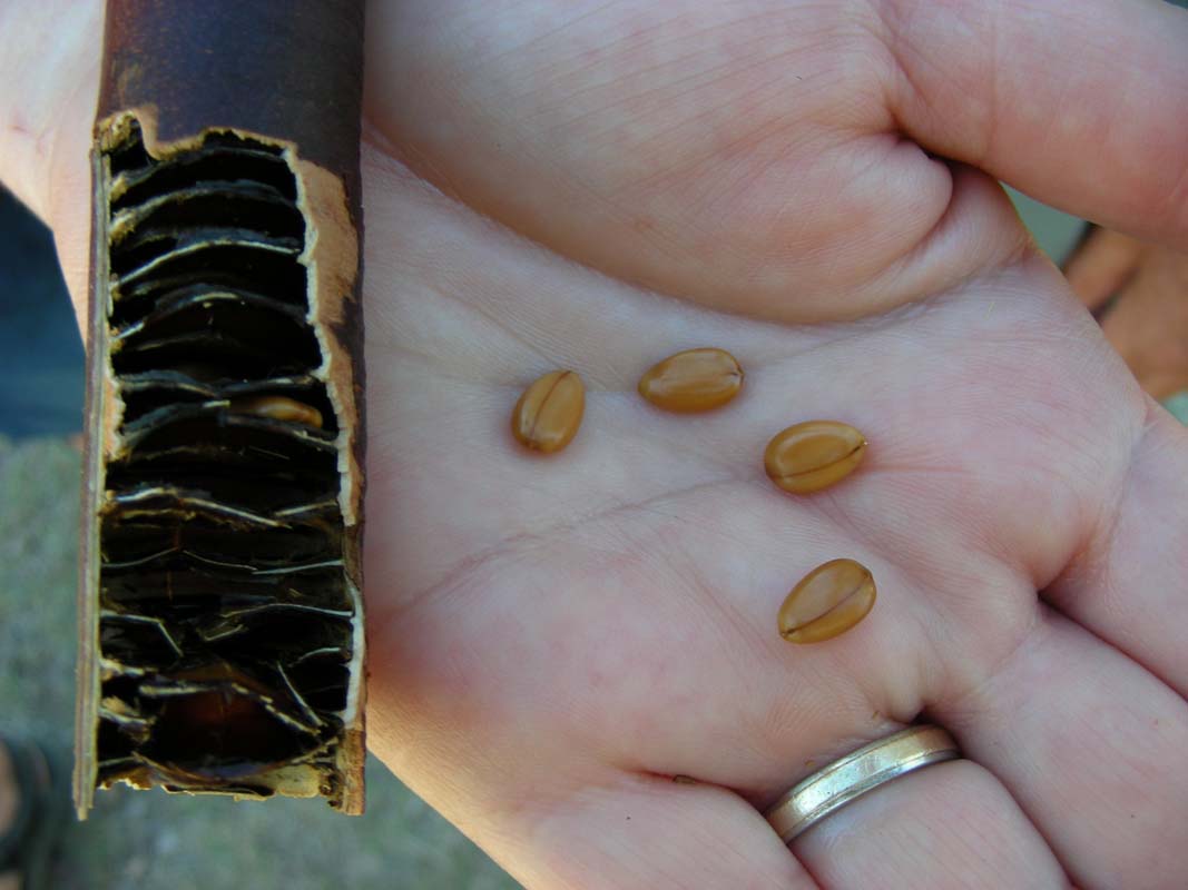
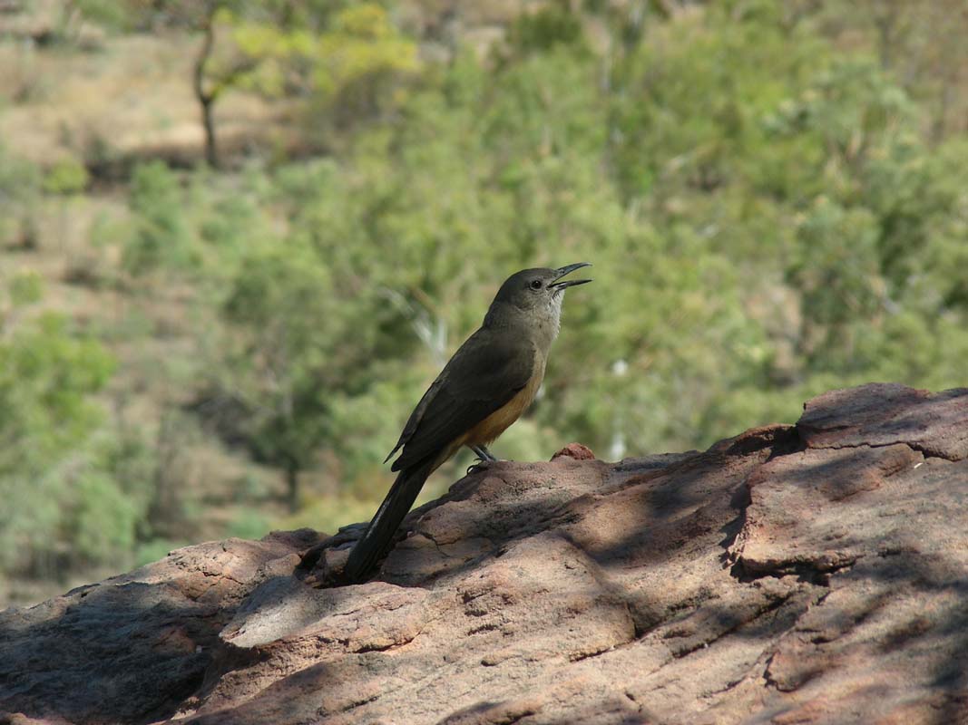
We also get the chance to watch some birds and also inspect
some unusual beans with large seeds, but we have no clue
what it could be.
Then
we head
off to Lawn Hill National Park.
We would like to stay in the park for the night.
Once there we find out that one needs a reservation and prepayment
that has to be done either on the web-page or by calling
a 131 number ....
Great!
And how are we supposed to do this, not knowing when we get
where and once we have arrived not having access to the internet
respectively not being able to call a 131 number from the
Sat-phone?
We decide to go for some of the walks first and then make
up our minds on how to proceed.
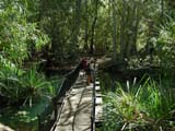
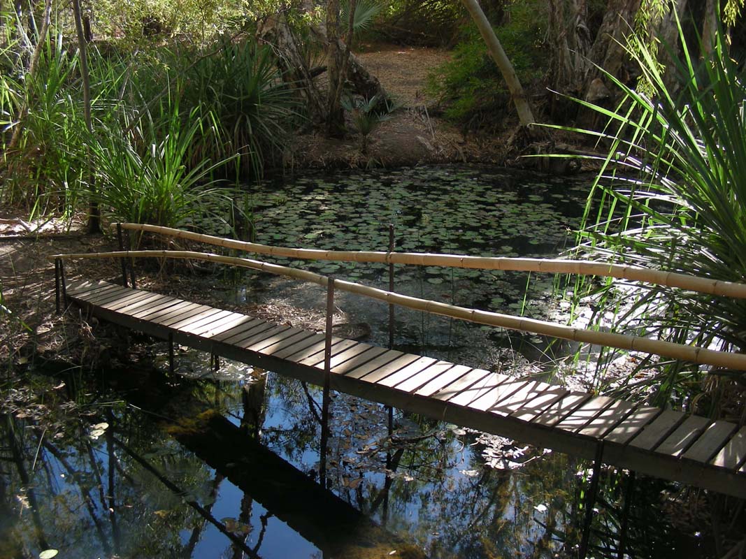
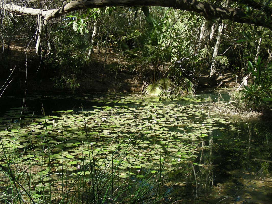
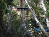
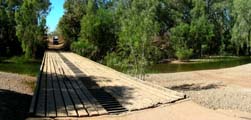
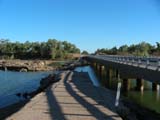
The walk down to the cascades leads over a floating bridge.
The water is clear and the fishes can be seen swimming in
it.

We head down to cascades, a pretty spot with tufa formations
and plenty of fishes in the water.

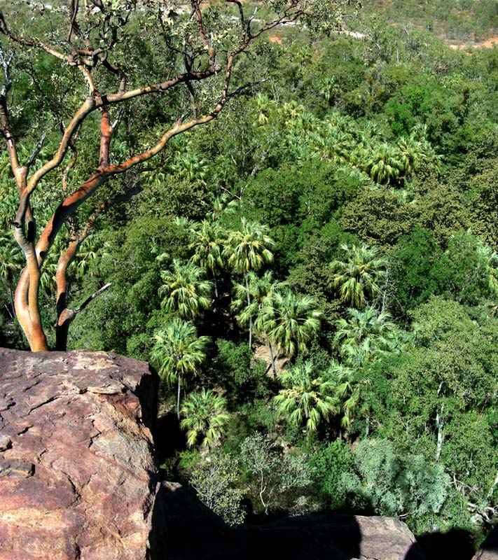
Then we climb the hill to the lookout.


Next is the Island Stack walk, with beautiful views down
into the gorge.
The songs of the birds are reflected in the wall of the gorge
and amplified to the top.
Nice spot.

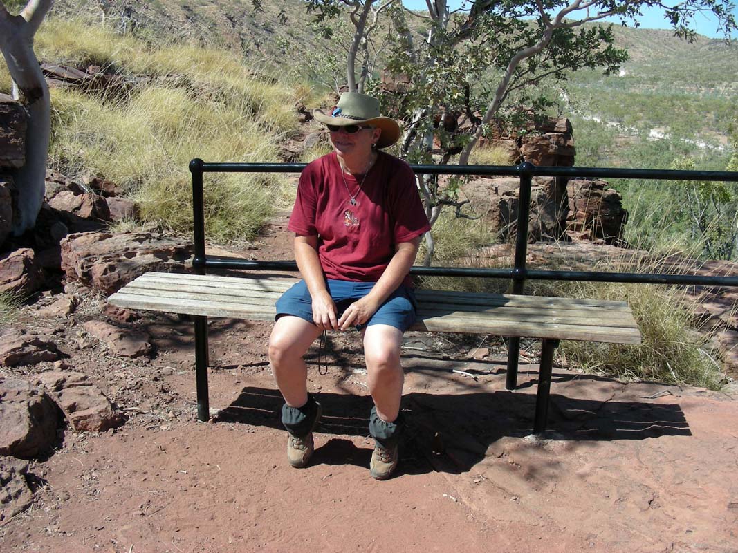
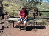
Next we find ourselves in a spot with a great panoramic view
over the Widdallion Creek and Lawn
Hill Creek.
No wonder they have placed a bench there!
It is the perfect spot
for people to have
a bit of a break and take the landscape in.
By now the temperatures have reached over 35°C, the
sun is burning from the sky with brute force.
We head back and head down to the ranger station.
By the looks of it the ranger is used to having people here
that have no reservations; the prices are marked and there
is a letter box to drop envelops in.
So we decide to stay here for the rest of the day and leave
the money at the ranger station.
After lunch the Swiss couple with the Bremach arrive.
They find a ranger and register for a stay.
So Ruedi heads down too and settles the account.
He also discusses the situation with the rangers and their
comment is:
"Don't tell us ... this scheme was developed
by some pen pusher in Brisbane. It might work for the parks along
the Coast but back here ....."
Then it is definitely time for a swim.
The jump into thee
water is spoiled a bit by the freshness of the water, too
cold for Susi again ....
After the refreshing swim we relax in the shade and try to
escape the heat.
We are definitely not used to these temperatures yet, but
we better do!
Some clouds start building up and during dinner every so
often a few drops can be felt.
But according to the weather man on ABC Radio it is still too early
for the build-up.
They recon we can start expecting some early rains in approx.
two weeks.
In the evening the couple from the Bremach come over for
a cold drink and we enjoy the warm evening until late.
During the night at least twice some light rain can be heard.
It is a very warm night (temperature does not drop below
23°C) without a breeze and it takes a long time until
we can fall asleep.
In addition the fridge runs all nights, almost non-stop.
But it still cools well so we guess that
in Cairns we will have to
fill up the gas used by the compressor of the fridge.
On Wednesday morning we all look
a bit tired.
Still Heidi & Peter go for a walk while Ruedi and Susi
relax and have a quiet morning.
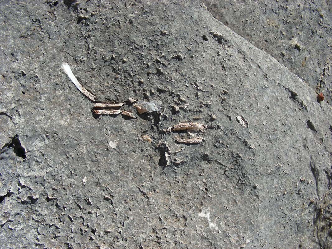
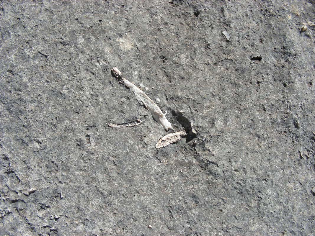
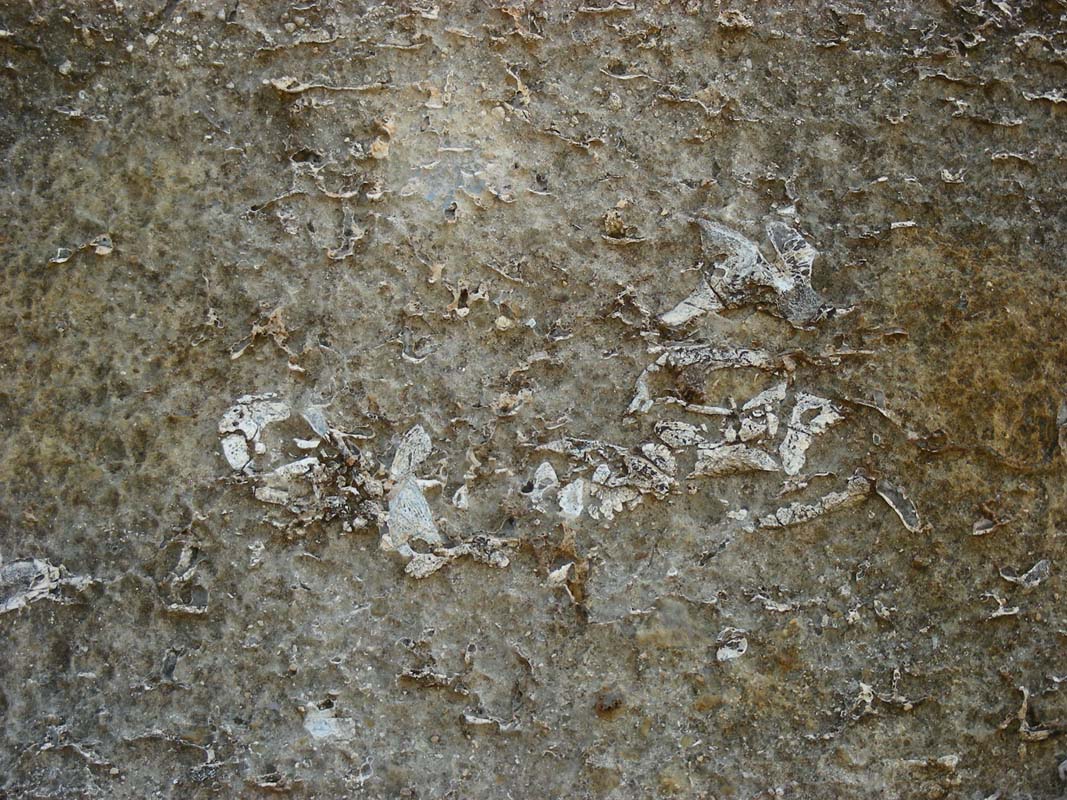
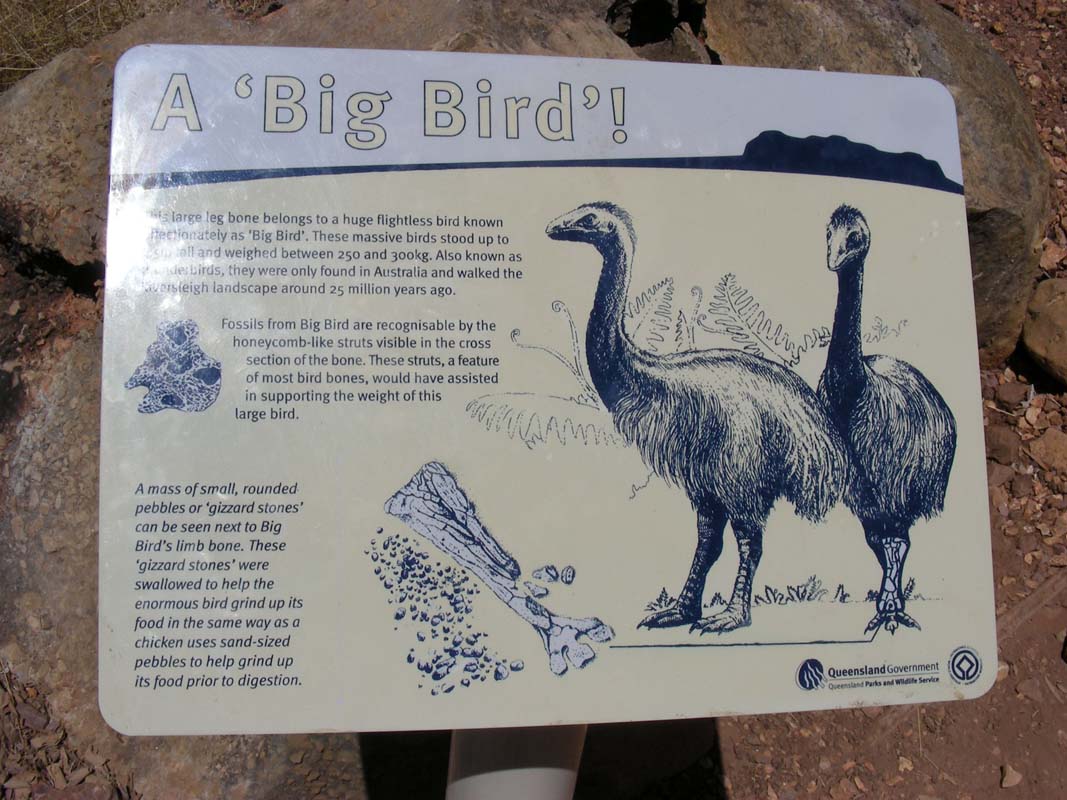
Then we register for the Miyumba Bush
Camp with the rangers
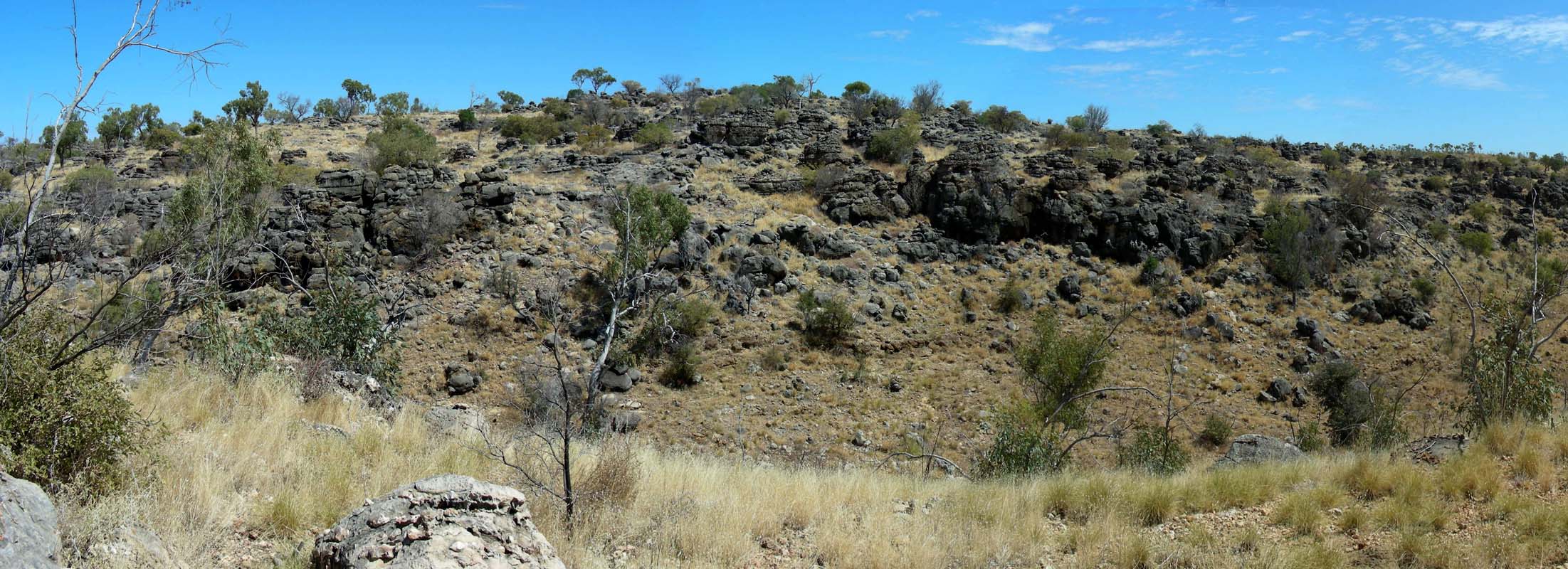
and head south towards the Riversleigh
D Site, a Fossil Mammal
Site.
Hmmmmm .... We wish they had left a few more bones there
and not taken all of them south and into the museums.

Just
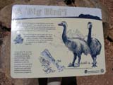
one bone is really impressive, the one from "Big Bird".
Well, at least the views into the country are pretty.
It is hot again with 32.5°C and all we want is to get
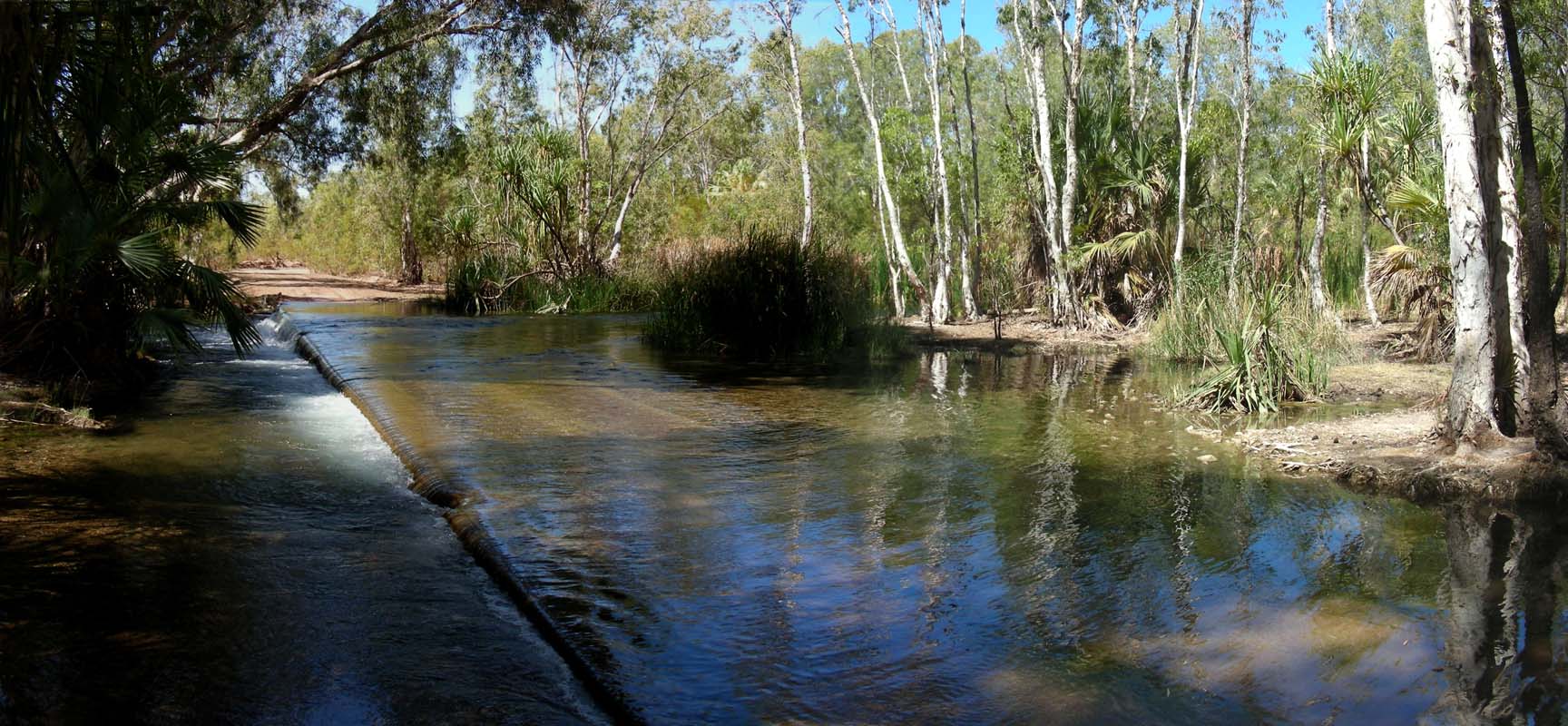
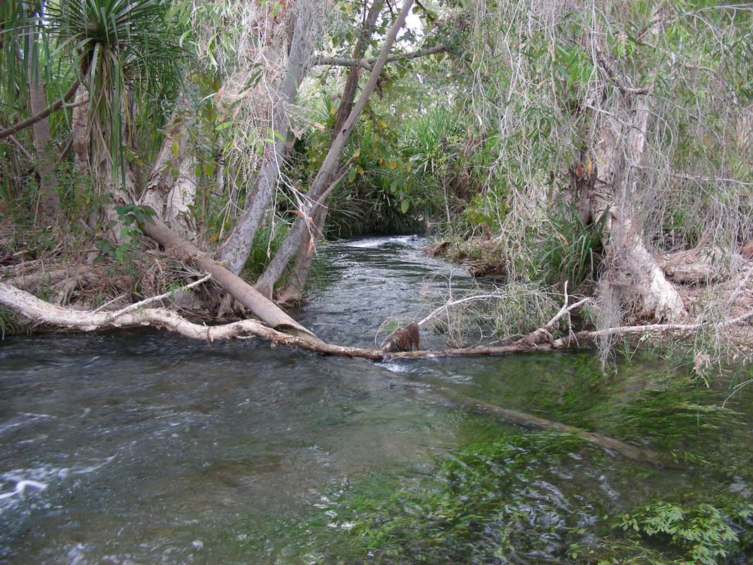
down to the Gregory River for a swim.

The bush camp is close by and the river crossing is very
pretty and the water warm, warm enough even for Susi .....
it actually has 26°C!

We all agree that it is the best swimming spot we have had
since Mataranka / Bitter Springs, no people, nice setting,
absolute clear warm water, just great.
Later on we move the vehicles up to the official bush camp
and settle for the night.
During dinner a few rain drops fall
but the clouds soon disperse again.
We decide to get up a bit earlier so we can travel in the
cooler times of the day, so from tomorrow the alarm will
be set to 6:30 AM and we will hit the road at 8 AM ...
Susi
is not impressed but has no arguments against the 3:1 majority.
Ah well, she will get used to it ....
The overnight temperature
drops to 17.5°C giving us
a good night's sleep.
Soon we are on the way down to the river crossing to wash
the urine stains left by the bats at the Butterfly Springs
off the OKA.
Peter & Heidi had washed their Kokopelli down yesterday
but we don't won't to exaggerate, spot removal is necessary
though as the urine from bats is very aggressive and could
over time damage the metal of the truck.
Then we continue on and get confused.
Just a few hundred meters after the river crossing the track
makes a full 180°C bend and we reach another crossing,
but he water on it runs in the opposite direction!
After checking the map we find that there are two creeks
coming together here in a 90° angle, forming the Gregory
River.
We continue on and soon reach the O'Shanassy
River Crossing.
They are really blessed with lots of water here in this area.
What surprises us is the amount of erosion we can see all
over.
There is no grass left, just barren soil and deep washed
out tracks in it.
There is lots of cattle in this area, could well be that
this damage is caused by it.
We find a small track through the hills, a shortcut that
saves us some 40 km of way.
Soon we reach the main track again and continue on towards
Gregory Downs.
The country opens up and it gets flat.
We reach Gregory Downs and have a look at
the "camp ground" down
at the rivers edge.
Even though there are signs saying that camping is not permitted
there are lots of campers and caravans there.
We cannot blame them as the area is very pretty with many
small pools and swimming areas.
But we are much too early in the day (Susi's comment: see,
hat's what happens it one get's up at 6:30 AM in the morning
and starts driving at 8 AM!!!) and decide to continue on.
We head east on the Wills Development
Road and then turn
north on the Nardoo - Burketown Road.
The track is quite good, not much corrugation.
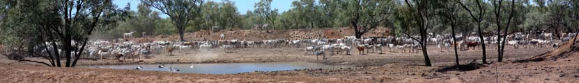
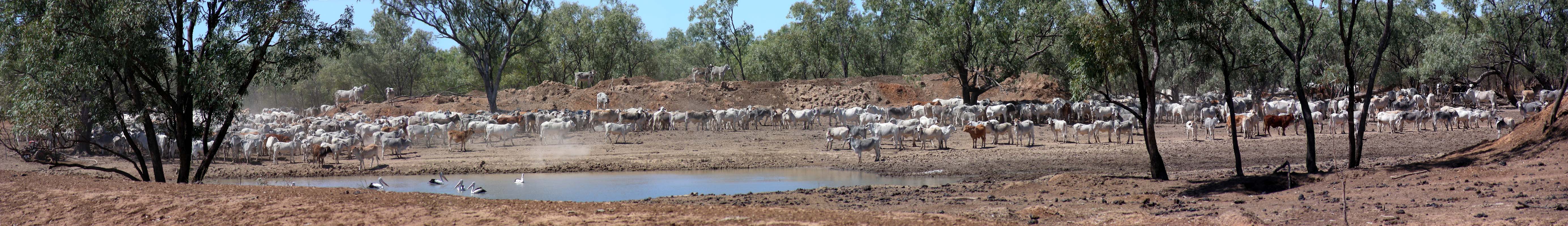
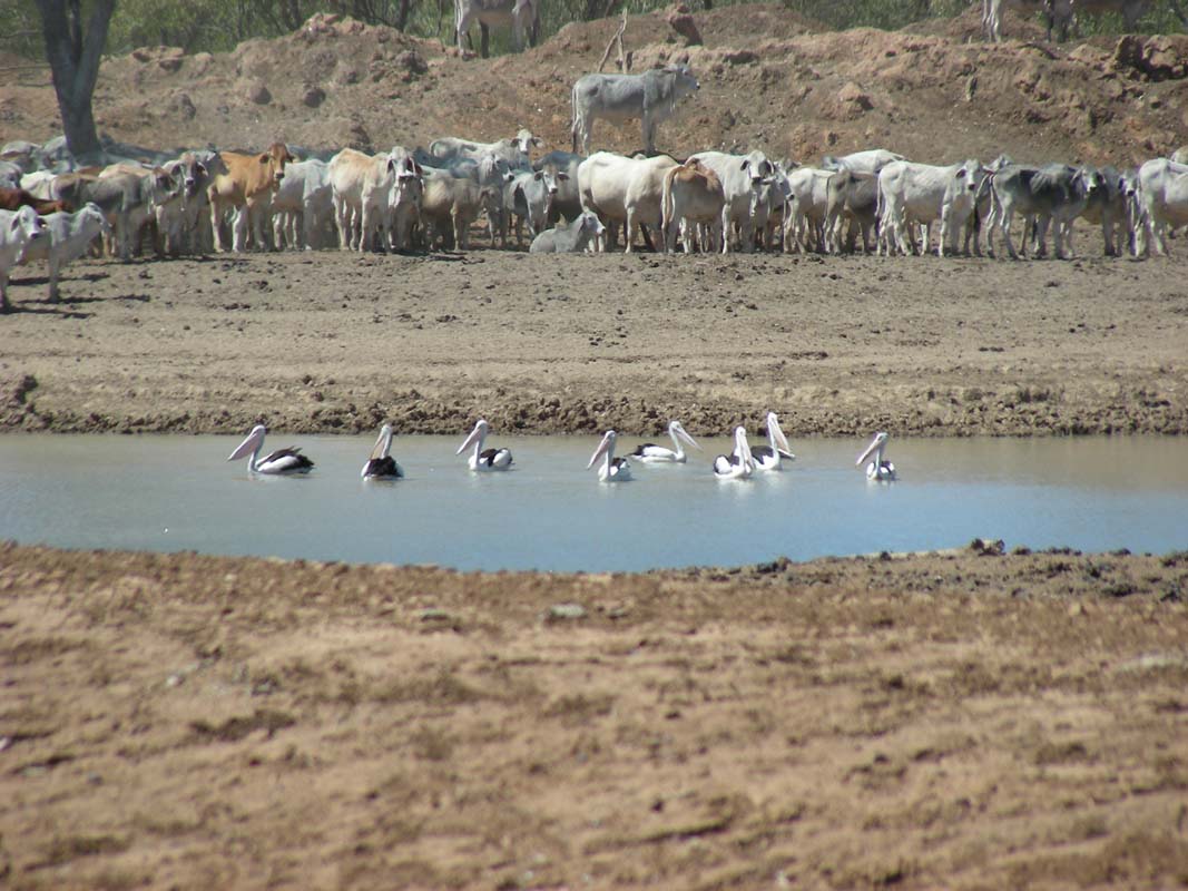
There are a lot of cattle around.
They all gather around
the few water holes that are left.
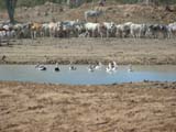
Some pelicans share the water with the cattle and don't
seem to be too impressed with their presence.
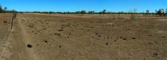
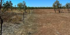
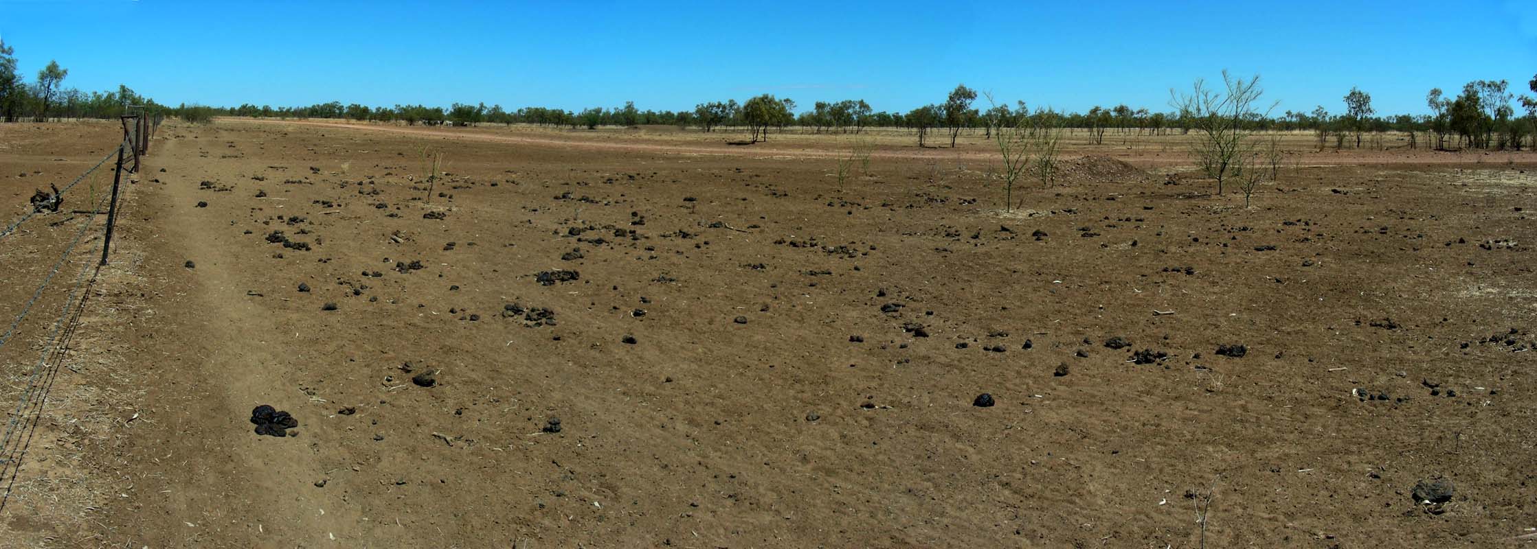
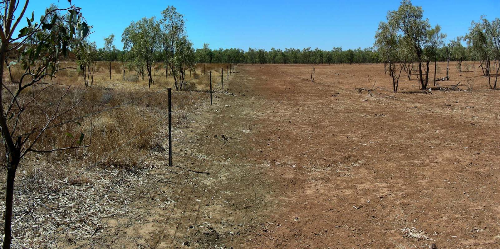
The area looks barren.
It is pretty obvious on which side of the fence the cattle
are grazing ....
We continue north and deviate towards Burketown to visit
the Leichhardt Falls.
It is hot (34.5°C) but a bit of shade and a constant breeze
keeps the temperature at comfort level.
On the way the Swiss couple in the Bremach catch up with
us. This guys are simply everywhere.
The section above the falls looks muddy and not very inviting.
But there seems to be food and a drink
for the birds.


Even though the falls are dry there
is water left in the river.
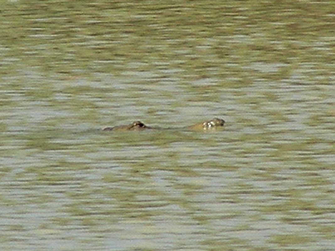
In the section above the falls we spot a few crocodiles but
we cannot say of they are freshwater or saltwater ones.
They are rather small.
If one goes by the rule of thumb that the length of the crocodile is 10 times the distance between the
nose and the eyes
they must be around the 70 cm long.

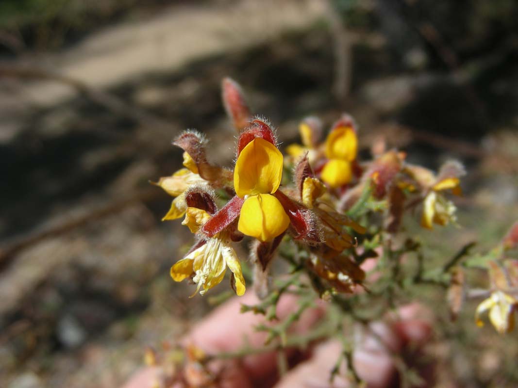
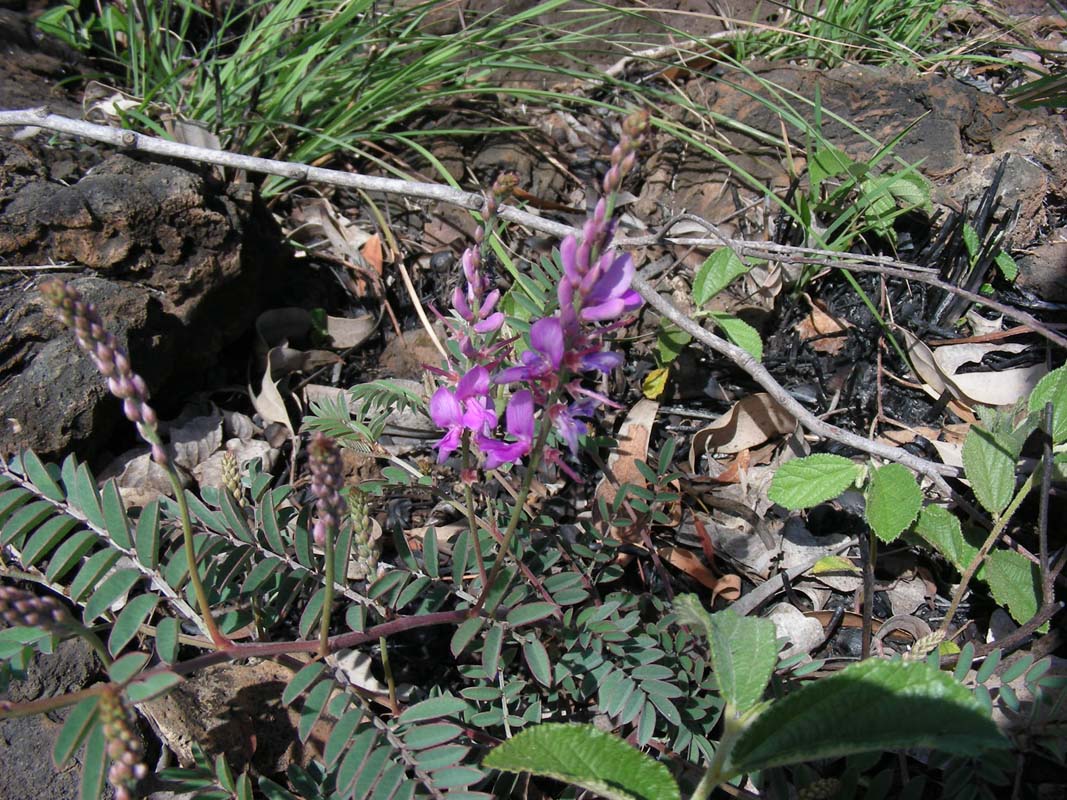
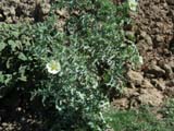
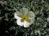
Even though it is very dry there are flowers blooming along
the way.
We continue on east on the Burketown
- Normanton Road.
The track is pretty badly corrugated.
We overtake Heidi & Peter who are suffering through it.
Their Kokopelli rattles and shakes like hell and they are
afraid to shake it to peaces.
But for us their speed of 25 - 35 kmh is not good, for us
65 - 70 kmh is ideal as we just float over the corrugation.
So we decide to pass them and go ahead.
We will check on the radio every 15 minutes for contact and
should we loose them we will wait until they catch up again.
The landscape changes from the dry and yellow flat area
to plains covered with trees, many of them being silvery-green Eucalyptus.
It looks pretty with the yellow Spinifex and the red road.
We look for a spot for the night and settle down at Seven
Mile Tank, a place used for mustering.
On Friday, August 29, the weather forecast is for another
hot day.
The hot weather for the Gulf country announced a few days
ago will last for a few more days.
They even recon that it could be a warmer than usual spring,
but no rain in sight.
Sounds like we could be lucky with our planned trip to Cape
York!
Shortly after hitting the road again we encounter a problem
with small birds.
They sit on the track and only fly away when the OKA is basically
on top of them.
As they have the same colour as the track has it is close
to impossible for us to spot them.
Driving slower does not help either as the just wait longer
until they take off.
So we have to just live with the though that a few of the
birds will not make it in time and will be sucked under the
OKA by the air current and probably will die.
It's not a very pleasant thought.
But luckily after a few
km the birds disappear and we are relieved.
We continue on through cattle stations.
A lot of cattle can be seen along the road.
And as usual they have to cross the road in front of the
vehicles so wee have to be careful when approaching them.
The country is flat again, just grass on it (where the cattle
have not eaten it to the ground already).
Every so often there are pockets of trees, providing a bit
of shade for the animals.
We wonder how much hotter it must get here in summer ....
Heidi & Peter still have to drive much slower than
we do because of the corrugation.
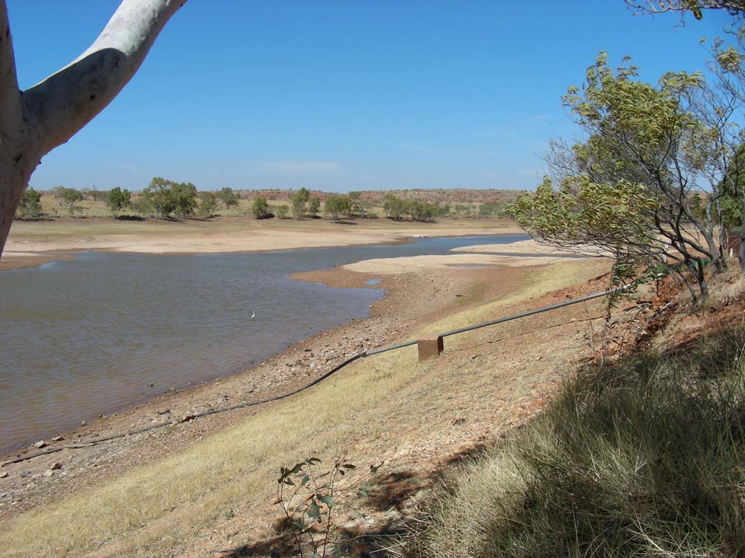
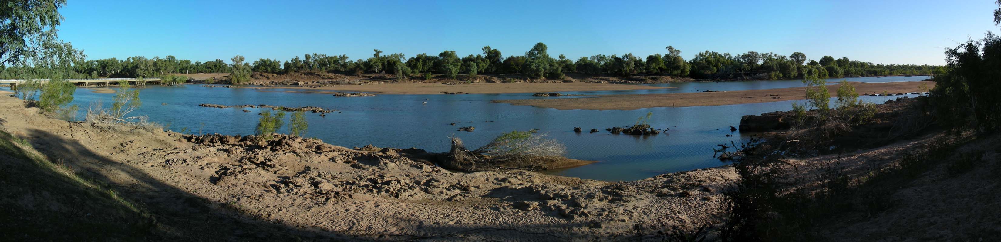
We reach the Flinders River Crossing.
There
is still plenty of water on the southern side of the crossing.
On the northern side of the crossing brolgas have settled
down.
As we leave the crossing a large flock of brolgas takes off
in the near field.
What a sight!
Shortly after we reach the Bynoe River
/ Waterhole Crossing.
This one is even prettier, with some cattle feeding on the
greens of the banks.
Just a few hundred meters later we pass the Little
Bynoe River crossing, nice too.
The whole area is perfect for a bush camp.
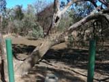
We deviate into
the Burk & Wills Camp 119 site.
Suddenly the small birds are here again, sitting on the road
and taking off too late.
Even though we drive with less than 20 kmh the stupid things
don't manage to leave the track on time.
Then one hits the windscreen and falls down onto the windshield
wiper.
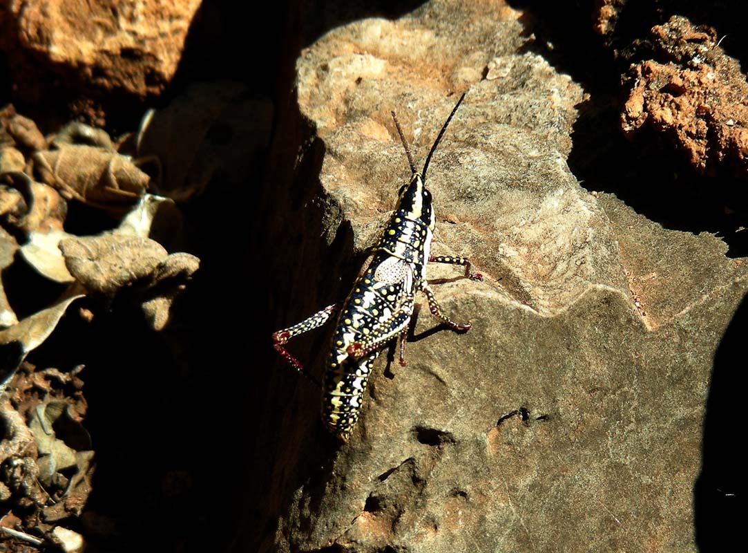
It's not a bird; it is a large grasshopper, a Locust! They all are Locusts not birds!
We are very relieved now and don' worry about the flying
objects anymore.
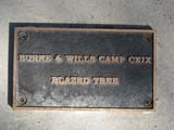
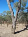
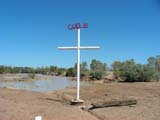
We reached the information shelter and have a look around.
The display table tells the sad story of inexperienced people
being sent out to explore an unknown country.
The trees blazed by the parties have grown over the marks
left on them, some have died...
Then we reach the bitumen and are in Normanton shortly
after.
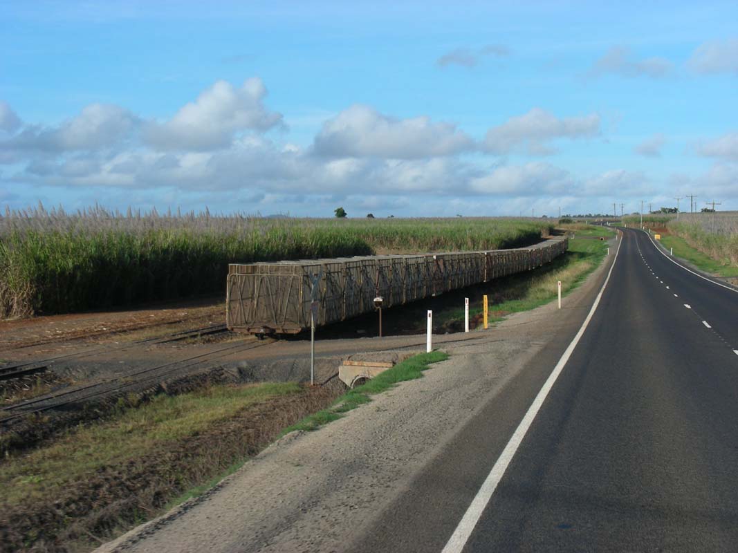
Some shopping and refuelling is on the
program as we will be heading to Cairns on the Burke
Development Road, no major facilities for 550 km .....
just hot open space .... exactly what we like.
 |
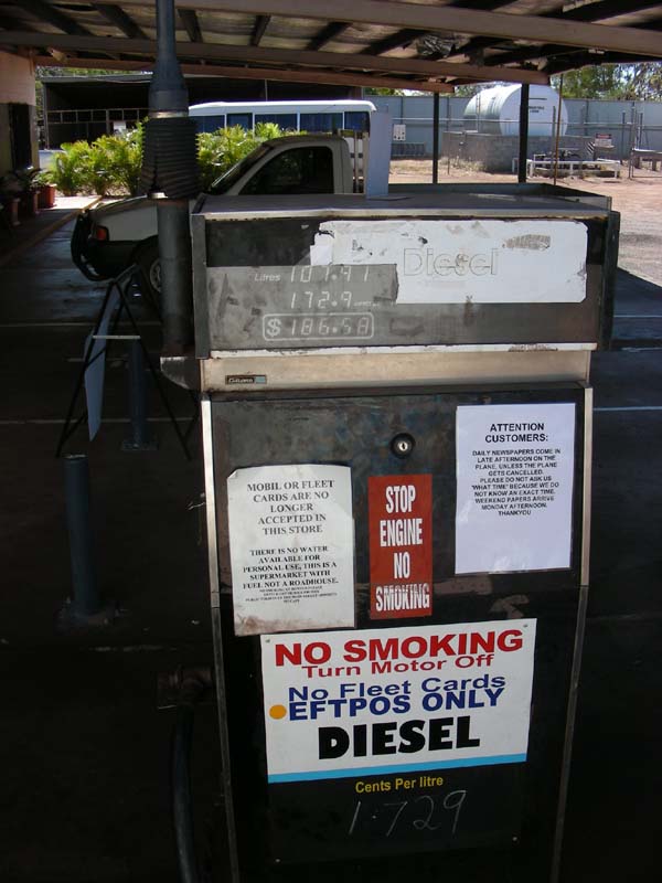
At the Mobil Station we see this
sign:
"Attention Customers
Daily newspapers come in late afternoon on the plane
unless the plane gets cancelled.
Please do not ask us what time because we do not know
an exact time.
Weekend papers arrive Monday afternoon.
Thank you"
Well, this shows you nicely how much "out bush" we
are here! |
We also meet Agnes and Henk again, the Swiss couple in the
Bremach.
We leave Normanton in direction of Karumba and drive
past some wetlands.
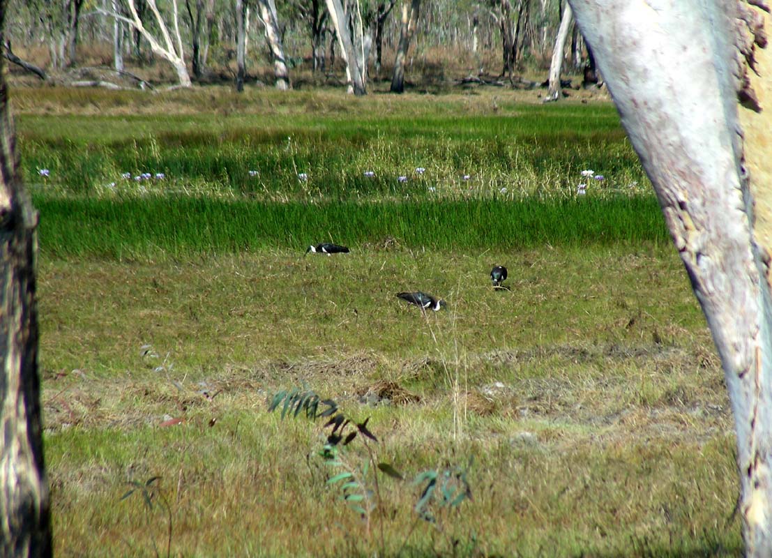
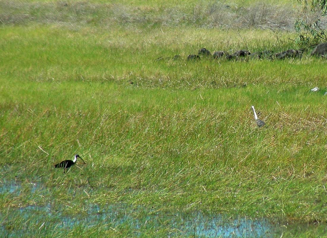
Large flocks of brolgas, jabirus and many other birds are
standing in the water.
It looks very pretty.

We turn east onto the Burke
Development Road and have to
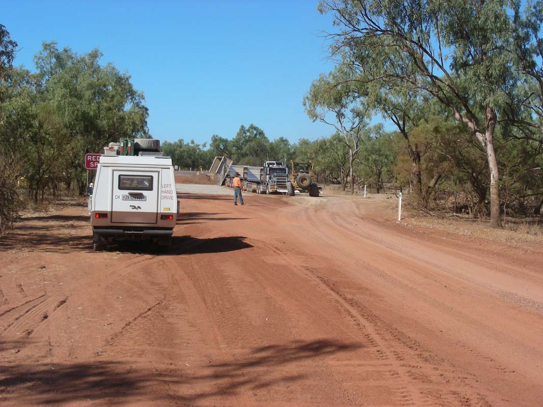
stop at a road pant.
A roadtrain delivering road base got bogged and has to be
pulled out with a chain by the grader.
Well, let's hope this is not an omen ...
The dirt road gets rough, has a long-stretched
corrugation that is very painful to drive.
In between there are stretches of bitumen, then again dirt
with corrugation ....
We pass through an area where we see
that most of the termite mounts are under shade trees or
placed that the shade of the tree falls on them in the afternoon.
Interesting.
This would actually mean that termites have a certain amount
of intelligence.
Amazing!
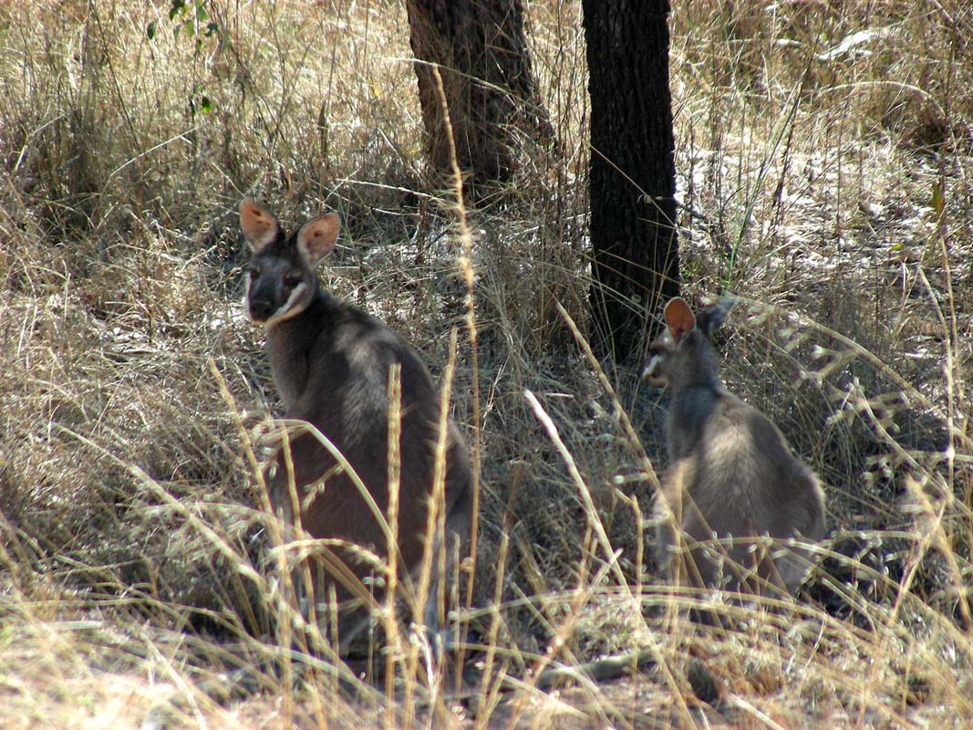
In the area of the Smithburne River there are lots (and
we means LOTS) of wallabies.
We have never seen an area as densely populated by wallabies
as this one.
We have to drive very slowly so we can avoid hitting them
as they (as usual) dash out of a bush and cross the track
right in front of the vehicles ....

Then we reach the Gilbert River, a perfect place for a night
camp.
On both sides of the river there is plenty of room to stay
and enjoy the animals.
A new bridge has just been finished; the surrounding work
has not yet been finished.
The old river crossing is still there and one can see the
marks of the force of the river in flood on it.
We go for a bit of a walk but can neither spot any crocodiles
in the water nor their tracks in the sandy river bed.
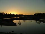 
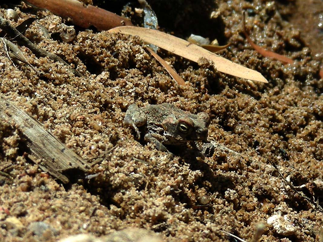
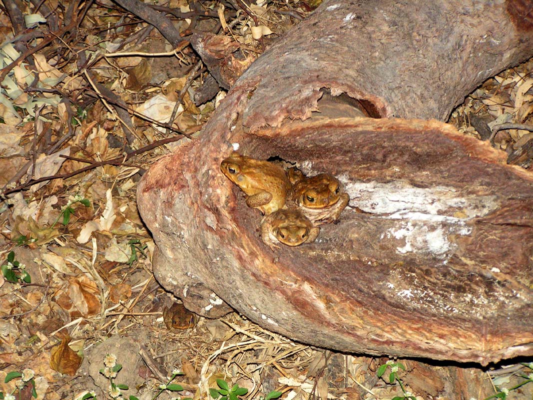
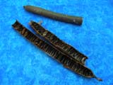
As it gets dark after a very pretty sunset, we hear rustling
in the bushes.
Nervously we get the flash lights and start spot-lighting.
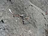
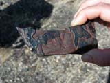
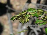
But we only find some toads (5 of them as you can probably see), cane toads as we find out later
on.
Crocodiles would have been noisier and also probably would
not have waited so patiently for us to shine the flashlight
on them .....
In the morning the birds wake up and start singing some
songs that we have never heard up to now.
Soon we are up and sneak down to the river's bed to see
if any crocs are lying on the sand banks, but we are disappointed.
They have probably moved away with all the activity at the
construction site.
We continue on east and the track gets narrower and less
maintained.
There are areas where the track is pretty chewed up.
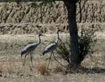
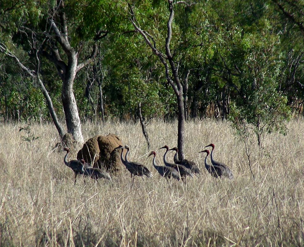
We spot groups of Sarus Cranes, easily recognisable on their
long red colouring of their neck.
But they are very shy and fly away as soon as we stop the
vehicles.
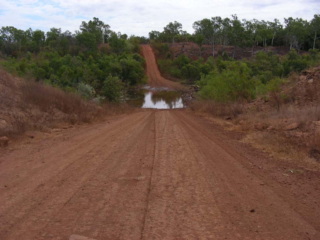
After crossing the Vanrook Creek the water table seems
to be a lot higher than before.
There is lots of fresh green grass, the dams and billabongs
are full and there are even areas of the track that have
to be navigated carefully so we don't get bogged in the mud.

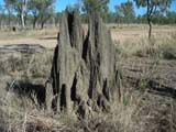
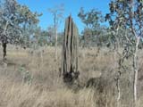
Just before we cross the Wyaaba Creek we see that the termites
have again changed the architecture of their mounts from the round big ones to the ones with many "separate chambers".
Some of them seem to have two "architects", both ways of
building being united in one mount ... or maybe two termite
colonies living together in peace?
Some parts of the track are converted to bull dust so we
have to keep a long distance to Peter & Heidi's Kokopelli.
At the Staten River crossing we spot some Jabirus.
One of them even very elegantly flies low over us, what a
sight!
We continue on and pass the border line of Dunbar
Station,
one of the largest cattle stations in QLD, some 2.5 mio acres
large.
They currently have 50'000 head of cattle on the station.
We meet a man and stop for a chat.
He is building a 40 km
long water pipeline to the new paddocks that have been set
up.
We ask him about the sandy river crossing behind Dunbar station
and the condition of it.
He recons that we could easily get
stuck and getting out of the vehicle for recovery is not
really recommended as there are many crocodiles in that river.

They pull out vehicles with the grader and charge AU$ 500;
so far they have pulled out some 20 vehicles this year.
But her recons we should go and have a look on our own and
then decide if we want to give it a go or not.
It is interesting to talk to the locals ... well, he is not
that local .... he is a New Zealander and he is on his way
to Neman in Western Australia to work in the mines ....

We continue on until we reach Dunbar
Homestead and head
down to the ford to inspect the crossing.
There are a few tracks and on closer inspection also some "left-overs" of
bogged vehicles.
A bit further downstream we find a reasonable section for
a crossing and take a mental note of it ... not for now but
maybe on the way back from Cape York ....?
We head back to the Burke Development Road and travel further
along the Mitchell River.


We pass a pretty lagoon.
Then we reach the border to Carpentaria Shire and also the
border of Highbury station and find a "No Camping" sign.
So we head back to the lagoon and settle for the rest of
the day and for the night.
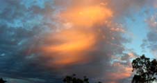
As the sun sets with a beautiful orange sky the birds give
us a great good-night-concert.
God, it's great out here!
After another balmy night with temperatures
around the 20°C
mark on Sunday morning, August 31, Susi gets up just before
daybreak to get the camera ready to tape the waking-up songs
of the birds.
As her camera only records sound for 5 minutes but can record
movies for 30 minutes she changes over to "movie" and places
the camera on the roof facing towards the billabong for better
reception.
Pleased with that she crawls back to bed as she has close
to 30 minutes time to snooze.
But the peace does not last long.
She hears this strange noise from the roof ".... Rrrrrrr
...tic tic tic ..... rrrrrrrrrr ... tic tic tic ...."
That just won't stop. As she checks she finds that it is the
camera.
It is set to "continues autofocus" and there is not enough
light to focus on anything properly so the camera focuses
in with "rrrrrrrr" and then back out slowly trying different
setting with "tic tic tic".
And because the camera was lying on the roof of the OKA the
roof acted as an amplifier!
Quick-fix: change the setting to "single autofocus", press
start .... and go back to bed.
We leave early to beat the heat and also because as we
want to reach Chillagoe today.
The track is a bit further away form the Mitchell River and
the countryside looks yellow and dry.
The stations have prepared well and created many dams all
over the place.

Every so often we pass a creek.
It all looks so pretty and harmless; one is tempted to forget
that this is crocodile country!
The next stop is Longreach
Lagoon, a pretty lagoon that is
connected to the Mitchell River.
It has a track along the lagoon and many areas to pitch a
tent but also the absolutely unnecessary rubbish that goes
with it.
No wonder certain cattle stations don't allow camping on
their property.
When we pass the Walsh
River we see the locals having a bit
of a bath in the pools in the lower section of the dam.
It is very shallow and doesn't seem to be a dangerous place.
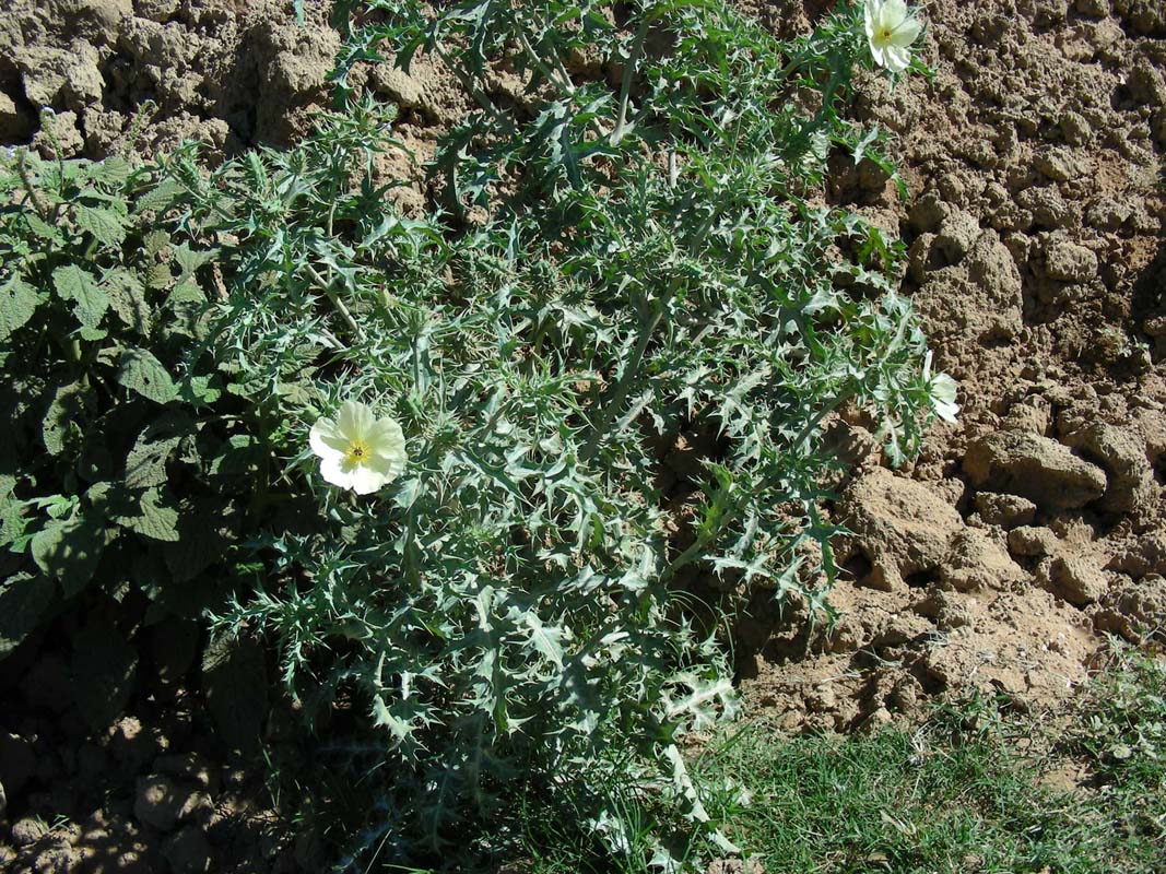
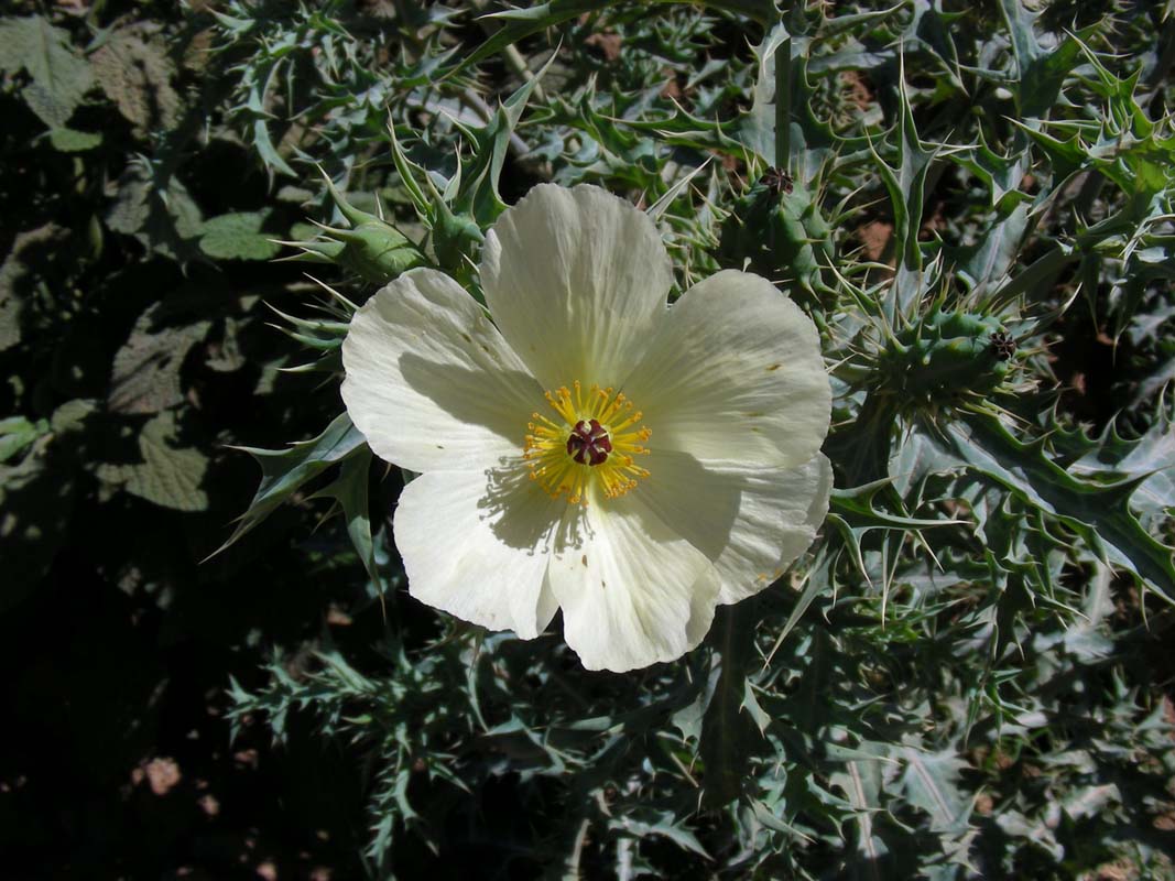
At the crossing a prickly weed has started growing.
From the area where it is found to looks like the bulldozer
that was used to model the crossing had the seeds in his
shovel ....
Such a pretty flower, such a nasty weed ...
After passing the Wrotham Park Station we get the first
view of the Great Dividing Range.
More and more the vegetation changes, becomes greener and
more tropical.
We spot the first "Flame" or "Coral" tree and other flowers.
We reach Rockwood and are fascinated by the rocks.
It really looks like petrified wood.
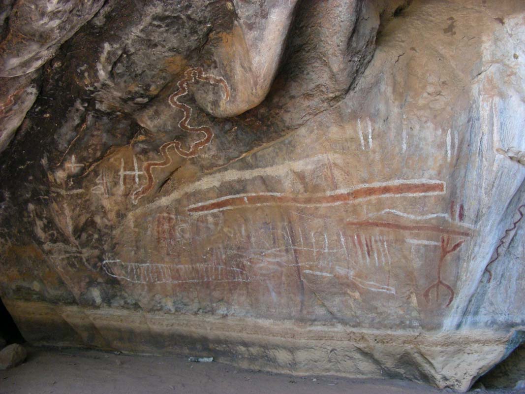
Soon after we see a sign to Mungana
Aboriginal Art Site and The
Archways.
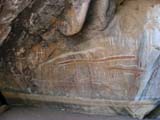
We deviate to it and find some rock art.
It is hot and the air around the rocks is cool.
One is empted to stay there a bit longer ....
Then we continue on to The
Archway.
The entry is through some rocks.
In there Ruedi by coincidence discovers a funny physical
phenomenon: if one walks towards one of he walls, the sunshine
reflects on the T-Shirt and the colour of the shirt is displayed
on the rock.
Especially Heidi's red shirt looks really pretty.
Click here to have a look at it.


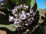
We also find some interesting flowers
and seed pods.
We only find out later on that the seeds are very poisonous
and a single one of them can kill an adult .... better wash your hands
well after "looking" at them!


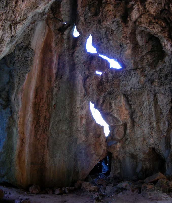
There are caves and there is los to see.
Here the air is even cooler and we only really realise who
nice it was when we get back into the sunshine.
It is 32.5°C by now, a bit cooler than the last few days
and the thirst is big .....
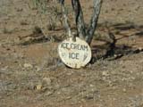
Then we continue on to Chillagoe where we check in at the
caravan park and have an ice-cream followed by a quiet evening.
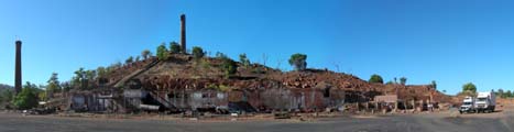
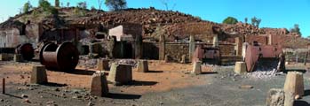
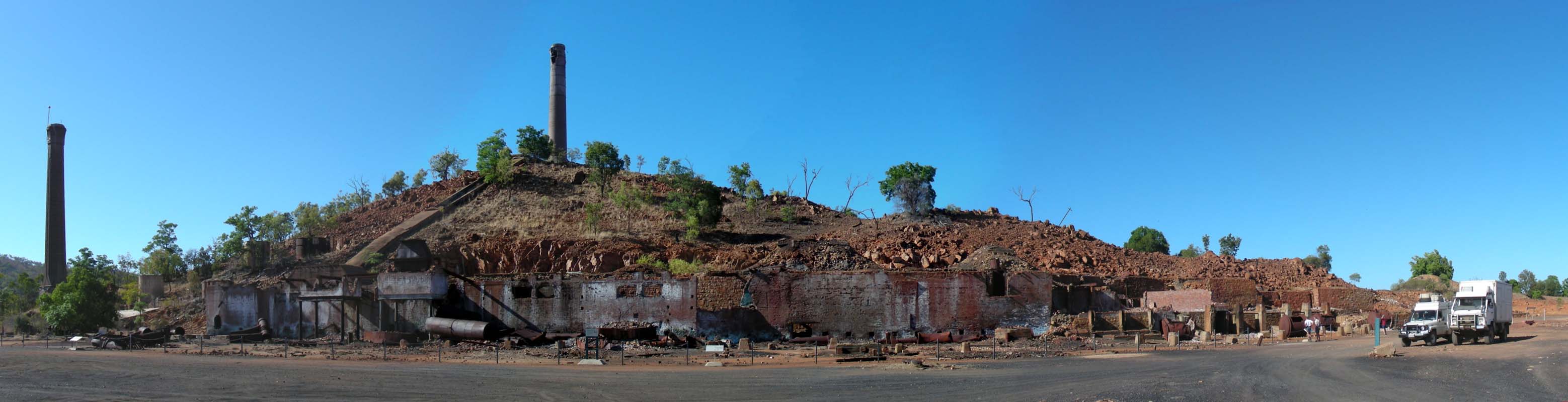
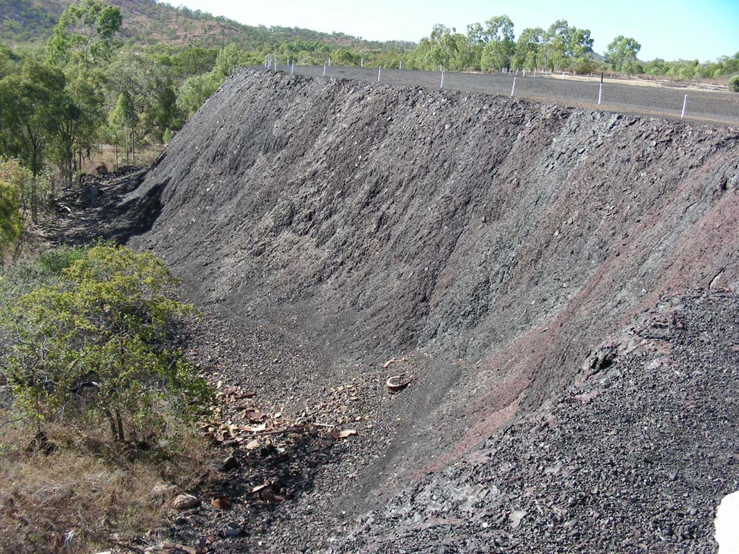
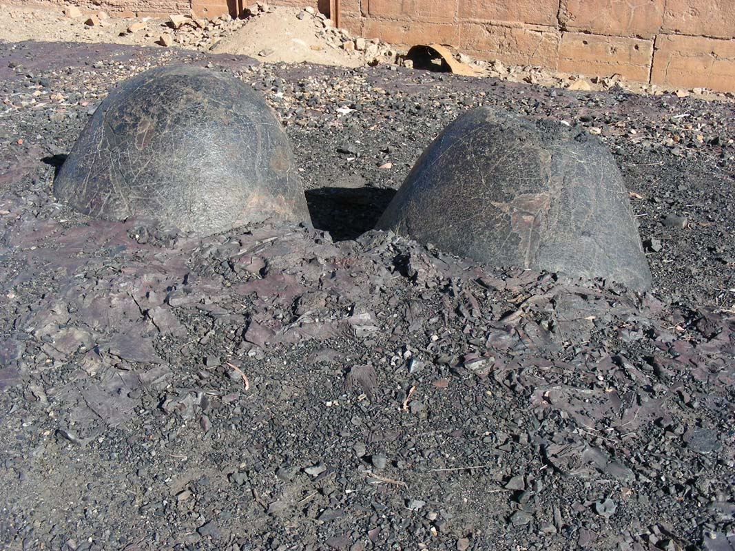
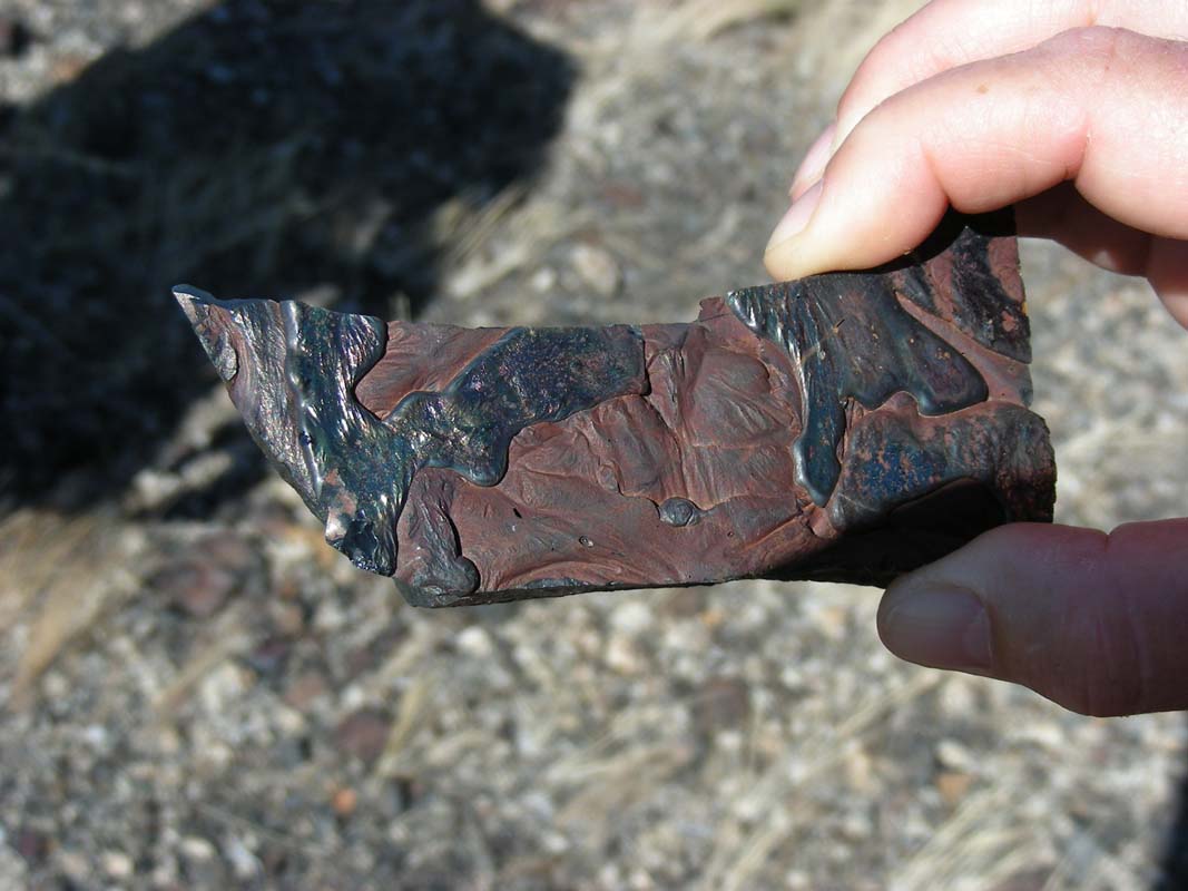
On Monday morning we visit the smelter.
It is quite interesting.
We are intrigued by the large amount of solidified melted
metal and rock.
Some fascinating formations can be found.
Fore more details on the Chillagoe Smelters click here.
Then it's time to say goodbye to Heidi & Peter who
will be heading straight to Cairns to get their extension
of the Carnet de Passage sorted.
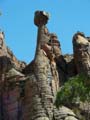
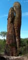
We continue on with our sightseeing and visit Balancing
Rock.
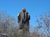
From one side the rock looks like a
huge figure in a robe, some character out of Star Wars (Darth
Vader from behind ...?) or some other hooded person.
Then we leave the town towards Almaden where we leave
the Burke Development Road and turn south into the Savannah
Way.
The track is marked as "high clearance vehicles only".
Well, we will see.
The track is travelled by trucks but is wide and well kept,
just a bit corrugated.
For a while we can see the railroad tracks used by the Savannahlander,
a railmotor from 1960 heading out of Cairns to Forsythe and
back once a week.
Then we reach Gingerella, where we turn west.
According to the map this section should be rougher than
the previous one.
But it has been graded and prepared for the wet season, not
much of a challenge anymore.
But after the wet it must be quite interesting to travel
along this route ....
We reach the bitumen again and turn east on the Gulf
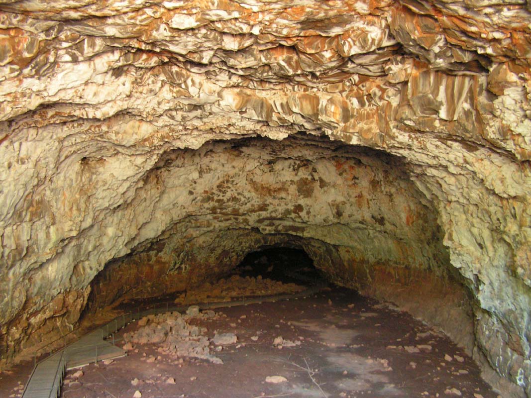
Development Road until we reach the Undara
Volcanic National Park.
We book in the campground and study the activities they offer.
We decide to go for the 2 hours tour of the lava tunnels
as the longer one for our taste is simply too expensive.
We get a spot in the one-o'clock tour which gives us all
morning for some walks.
As Susi still "owes" Ruedi a dinner
for a bet she lost she books the buffet for tonight.
Ruedi chooses the Kangaroo and Susi the Emu, both very
nicely done, it's good value for the money.
A strong wind has developed and over
night the temperatures drop to 14°C.
We are not used to those temperatures anymore .....
On Tuesday morning it is sill very windy but the sun is
out soon the temperatures rise.
We walk to Flat Rock.
On the way we have to stop often and watch the many animals.

Some trees got attacked by an insect that causes them to
grow funny shapes.

This is an interesting little plant ..... just sucks itself
onto a branch ....

We pass some pretty pandanus .... look at the spiralling
marks left on the trunk from the leaves!
At the end of the walk there is a viewing
spot for the swamps.
One could sit for a while and just watch the activities of
the various birds.
A small trail leads on top of a rock that offers a circular
view.
From here one can see some of the many volcanoes
in the area.
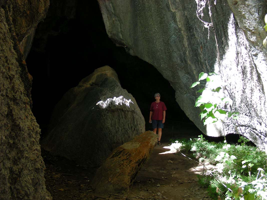
After lunch we join our tour and visit
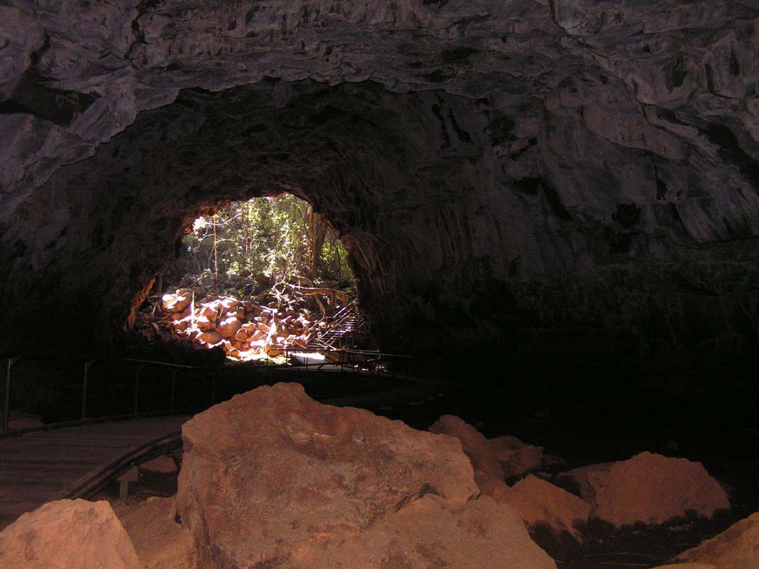
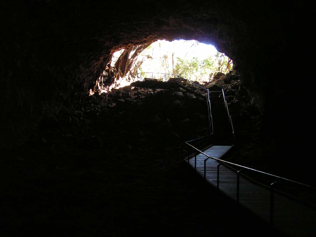
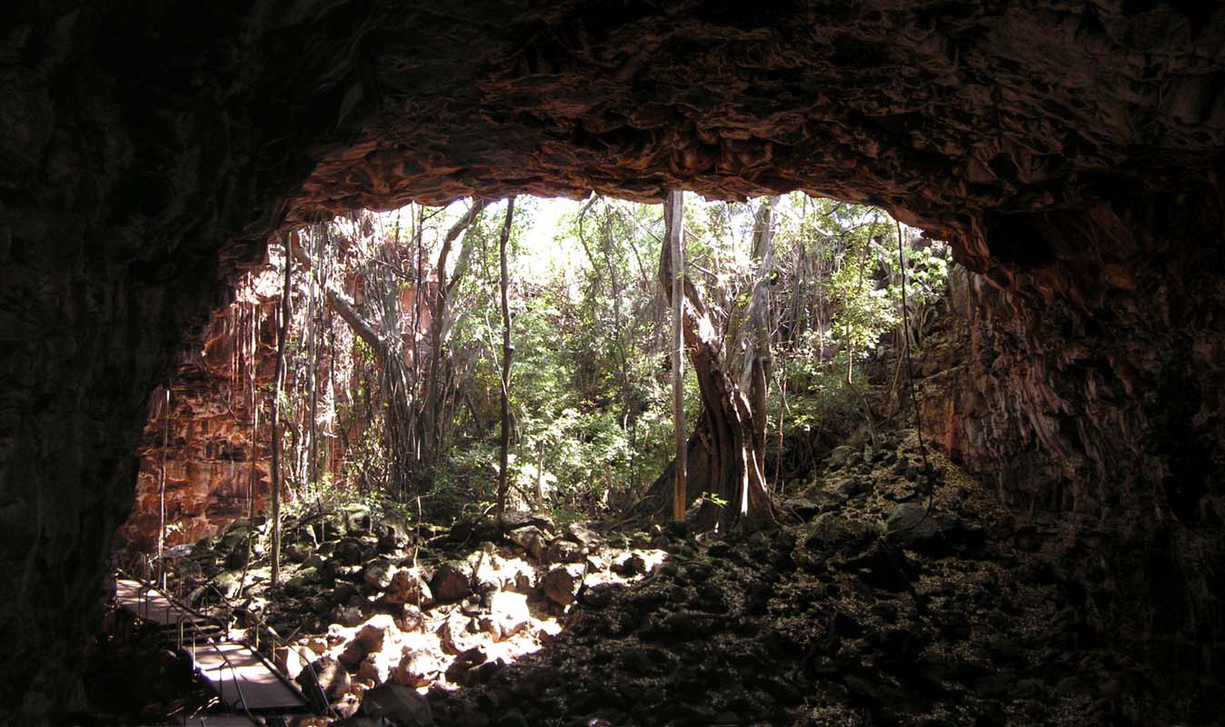
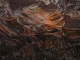
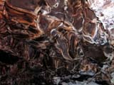
some lava tunnels.
They are impressive and the tour gives
a good overview.

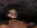
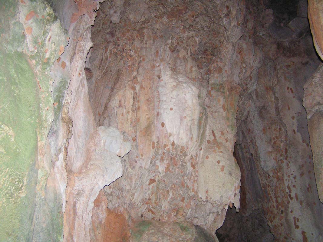
The tubes were created when Undara erupted spewing out
lava at up to 1'000 cubic metres a second.
Part of the flow was channelled by watercourses for 160 km.
As the outside of the lava cooled it hardened to form a
large system of subterranean tubes.

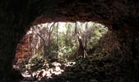
Weathering has caused parts of the tunnel
roots to collapse, forming depressions where remnant pockets
of vine thicket can be found.
The collapsed parts also provide access to the tubes.

Nature has taken over ... the roots of the trees grow into
the tubes.
Snakes live here .....
In the afternoon the wind picks up again and the temperature
starts dropping.
From a Swiss couple, Ursi and Michi, that
set up camp nearby we hear that they had rain at the Milla
Milla Falls yesterday ...
In the evening Ursi and Michi come over
to exchange travel news.
They have just come back from Cape York and are planning
to travel to Alice through the Simpson Desert.
So there is
lots to tell and show on maps and it gates quite late.
During the night the temperature drops to 13.5°C ....
a bit fresh .... we are not really used to such temperatures
anymore .....
On Wednesday, September 3, we receive mail from Peter & Heidi
that their carnet de passage is on the way and they expect
to be ready to take off to Cape York on Saturday.
So we pack up and get ready to travel to Cairns.
The wind is still blowing quite strongly and clouds are rolling
in.
Looks like we will get some of the rain that was announced
in the news ...
On the way out of the resort we visit the Kalkari
Crate.
From the top we can see lots of craters and also the lava tubes or at least where
the roof of the tunnel has caved in.


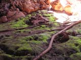
Besides some pretty flowers we can also watch creation .....
Then we hit the bitumen again.
It is mostly a one-lane bitumen
road which is being upgraded to two-lane bitumen road.
The many trucks and roadtrains travelling don't seem to care
about their windscreens and don't slow down when crossing
which makes it very annoying for Ruedi who has to slow down
almost to stand-still to protect the OKA's windscreen.

After Innot Hot Springs the
road improves and driving becomes pleasure again.
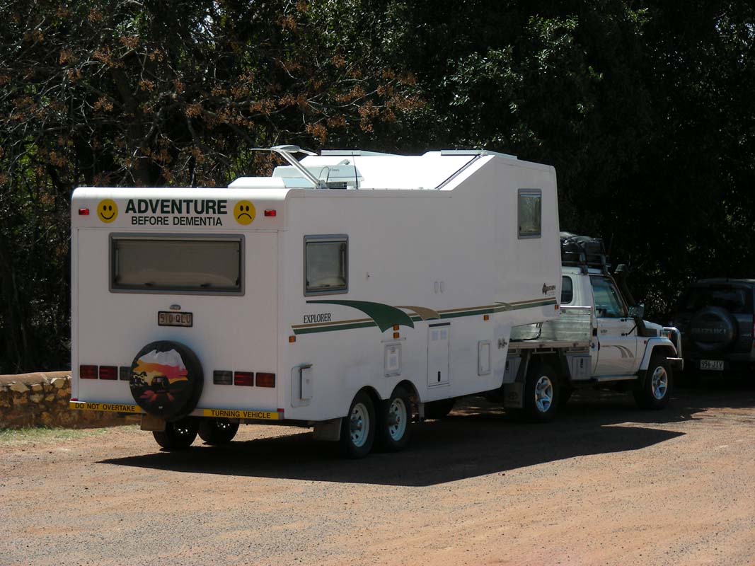
We fully agree with this camper's sign:
Adventure before Dementia!
The hilly country gets greener and greener.
A few kilometres west of Ravenshoe we pass
the Golf Club.
The lush green of its greens is very unusual for our eyes.
We haven't seen a green Golf course for a long time ....
We pass the Millstream River and see that
it doesn't carry much water.
We wonder how our next planned stop, the Milla Milla Falls,
will be.
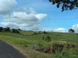

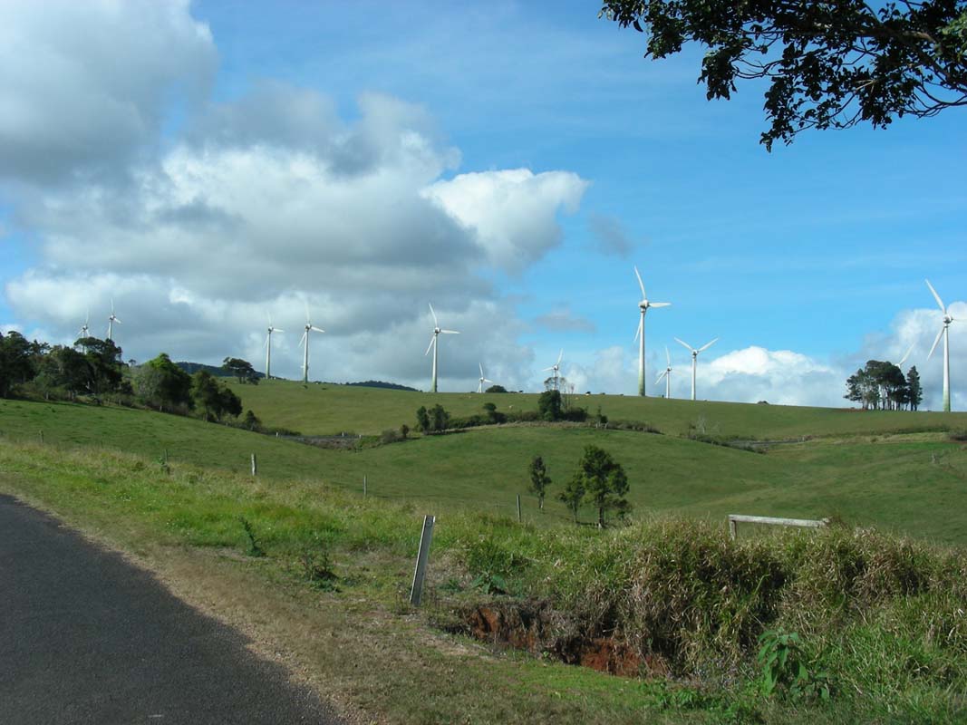
The wind turbines at Windy
Hill are busily turning.
The road climbs and climbs.
By now we have reached 1 020 m above sea level.
And the temperature drops and drops; it' now only 18.5°C
outside ...

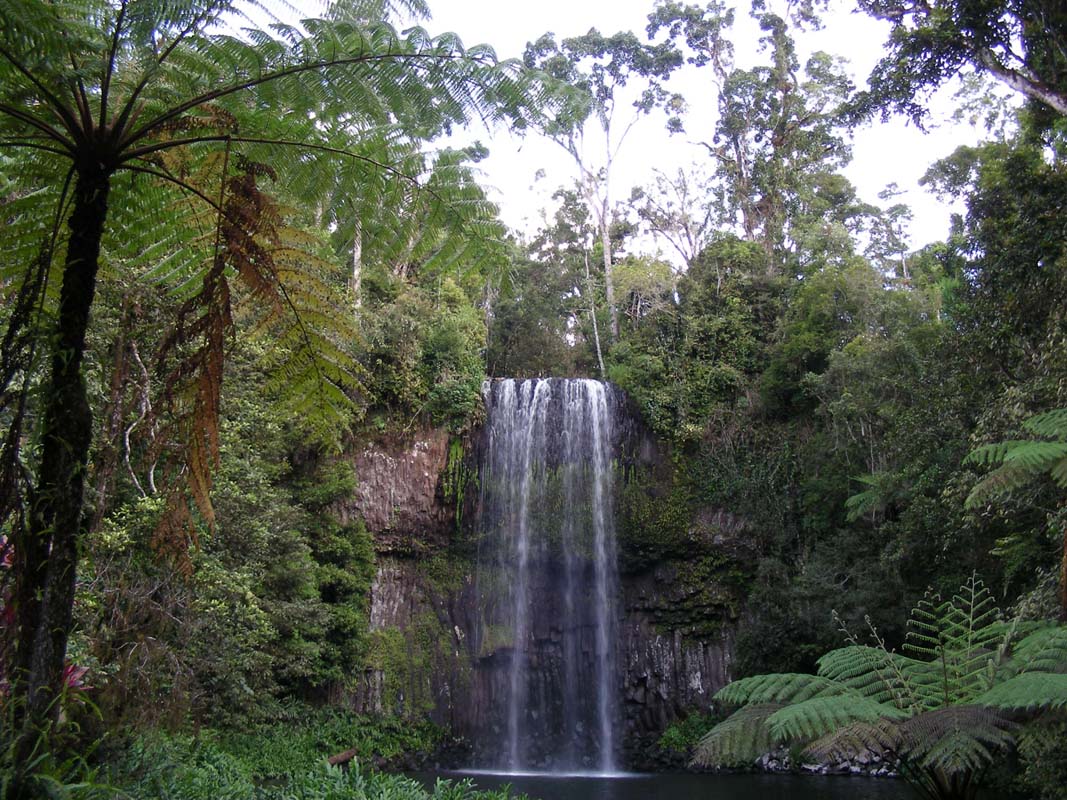
We reach the Milla Milla Falls ... and there is actually
some water flowing over them.
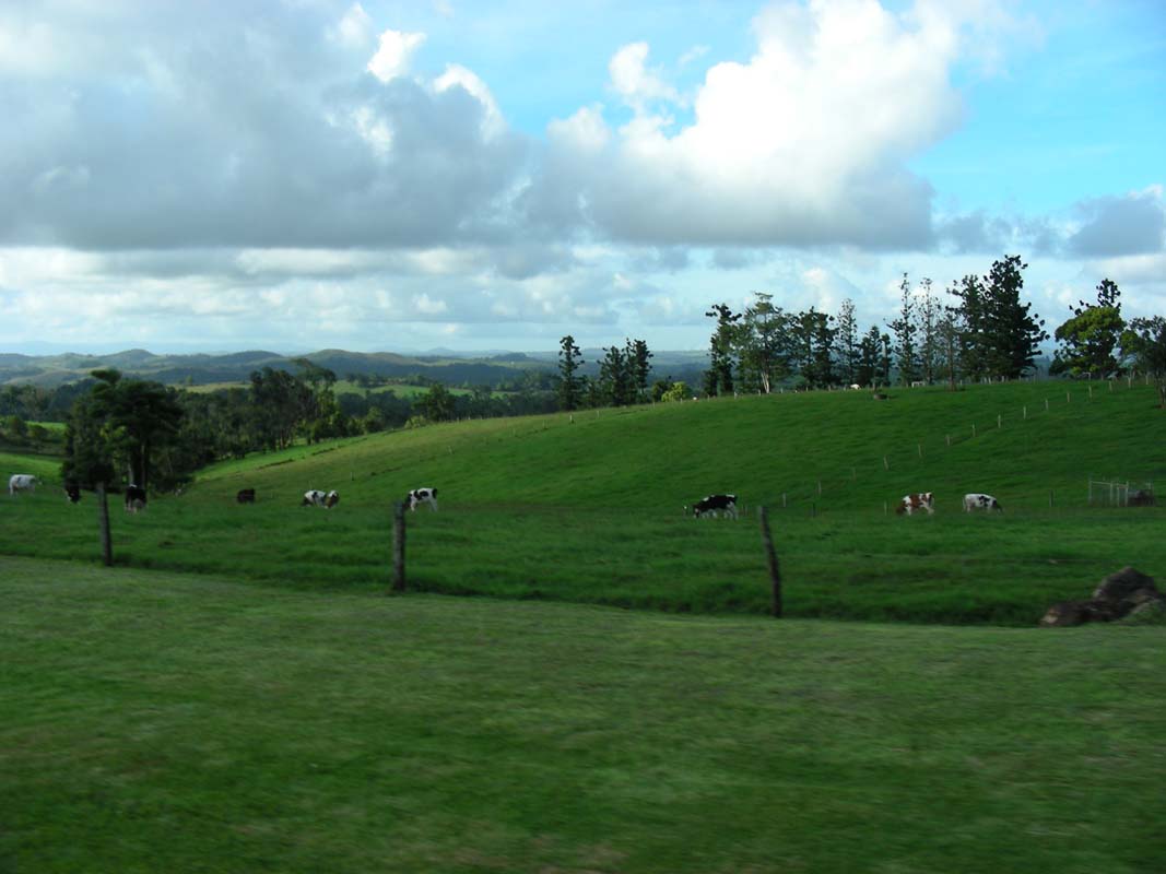
The area is very green and cows are feeding in the paddocks.

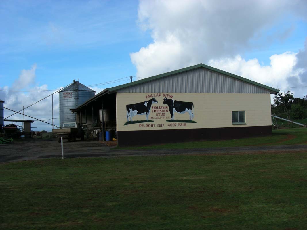
In one area we find a breed that looks very familliar
... yes, they are Hollstein Friesian cows!
It's not really the place where we would have expected European
cows that are used to the cold weather!
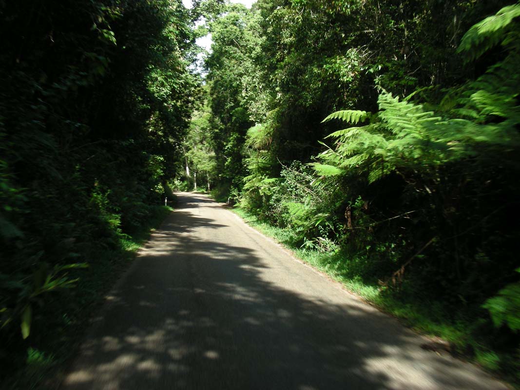
We continue on on the Palmerston Highway decending fairly
steep towards Innisfail.

We see a lookout and stop.
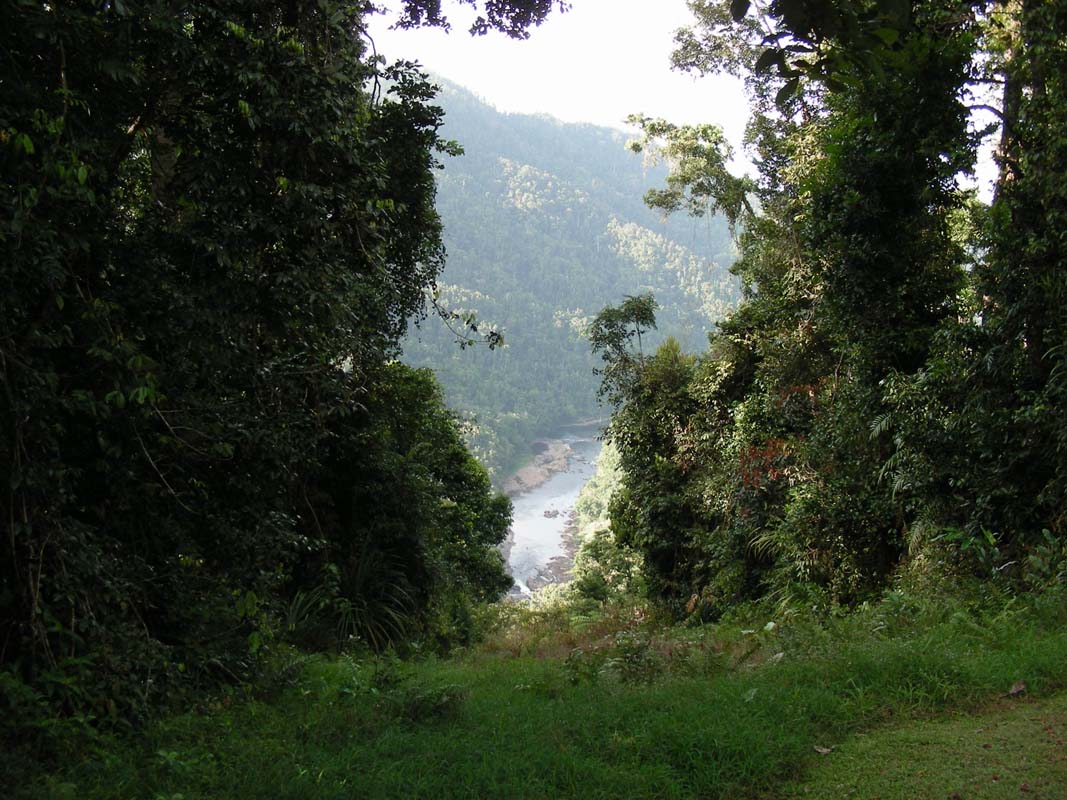
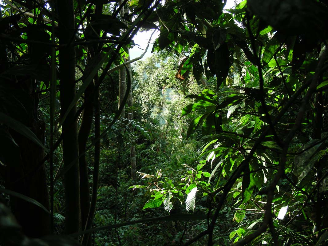
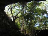
A track through thick rainforest leads down to the river.
It is ment for people that want to go river rafting ....
but they have to carry their rafts a fair way down.
Hoping
to find better views onto the river we start walking down hill.
But the rainforest is too dense; after a few hundred meters
without better lookout we turn around.
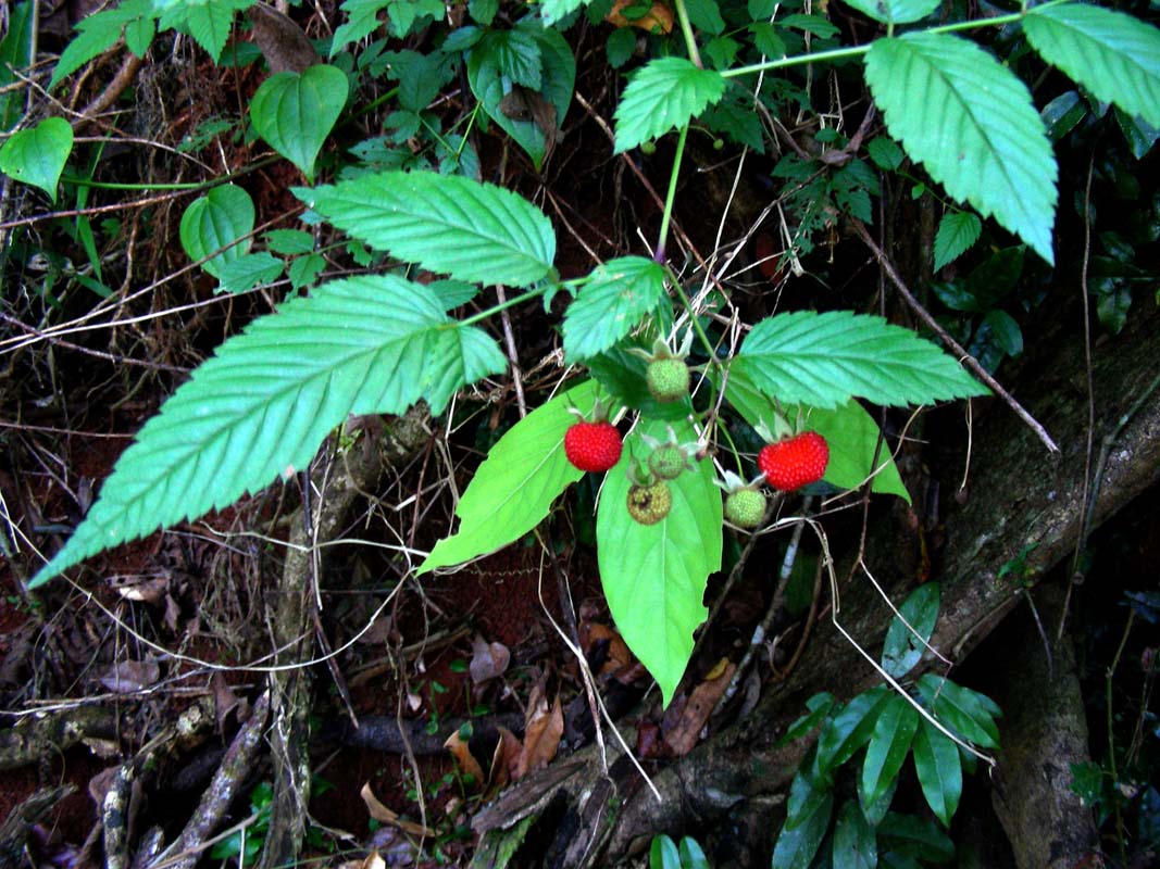
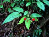
Instead we
find some interesting berries, edibla ones according
to our bushtuker book, and of course have to try them.
They taste like unripe strawberries ... probably they are
unripe oherwise an animal would have eaten them a while ago
....

As we get closer to the coast and down
to sea-level the temperature raises again to 23°C, even
though it is already 5 PM.
We reach Innisfail and head north to Cairns,
where we book in at a caravan Park .... and this is the end
of this journal!
|