|
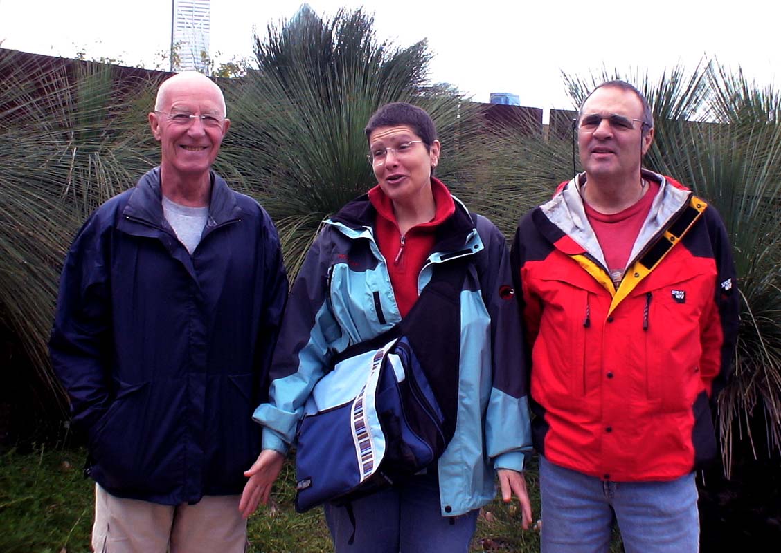
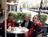
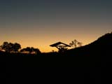
On Saturday July 28, 2007, early in the morning (flights
arriving at 1 am in the morning should be forbidden ...)
our friends Roger and Katarina arrive from France into a
wintery wet and cold Perth.
We know Roger from 2005, when we travelled from
Europe
to Australia via the Panama Channel on the container freighter "CMA
CGM Matisse"
.
Roger travelled with us from Le Havre to Tahiti, were he
showed us his island.
Now it was our turn to show him our "island" ....
or at least some parts of it ....
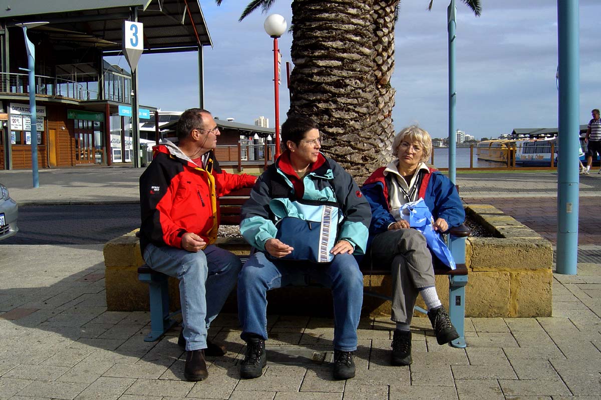
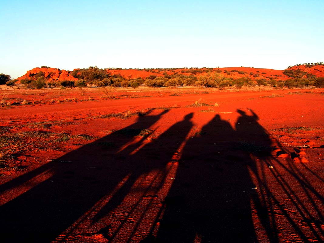
To get them adjusted to a time-difference of 8 hours on
Sunday we head off to Perth ....
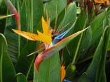


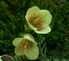
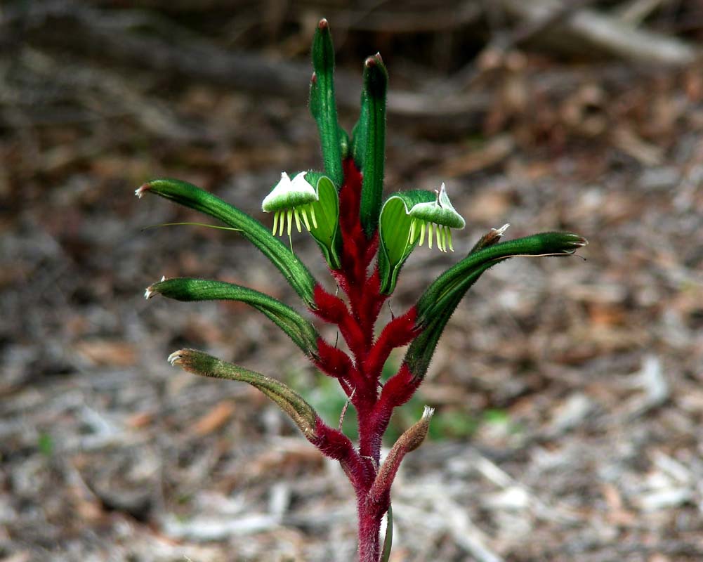
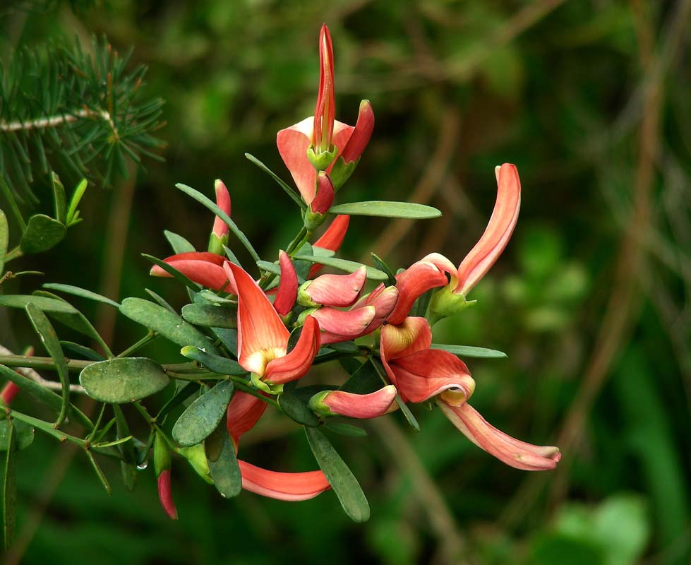
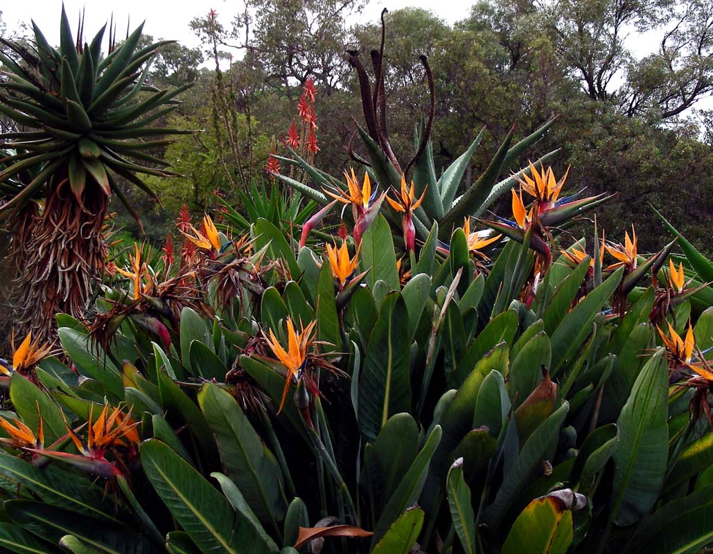
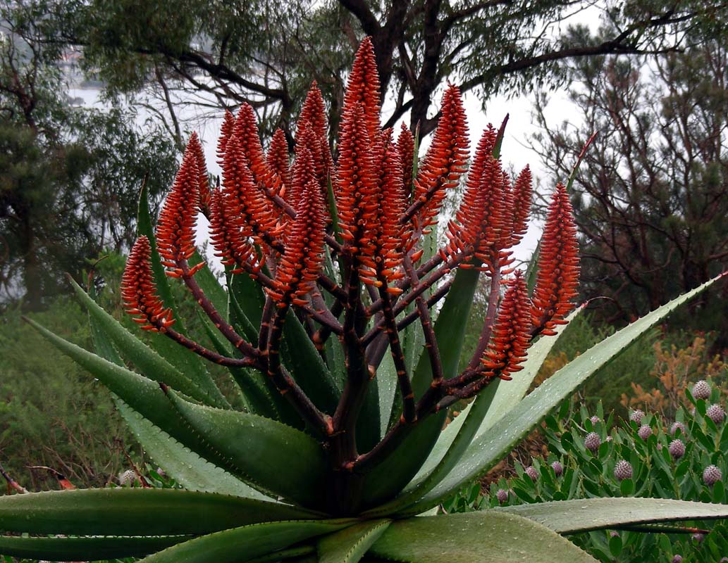
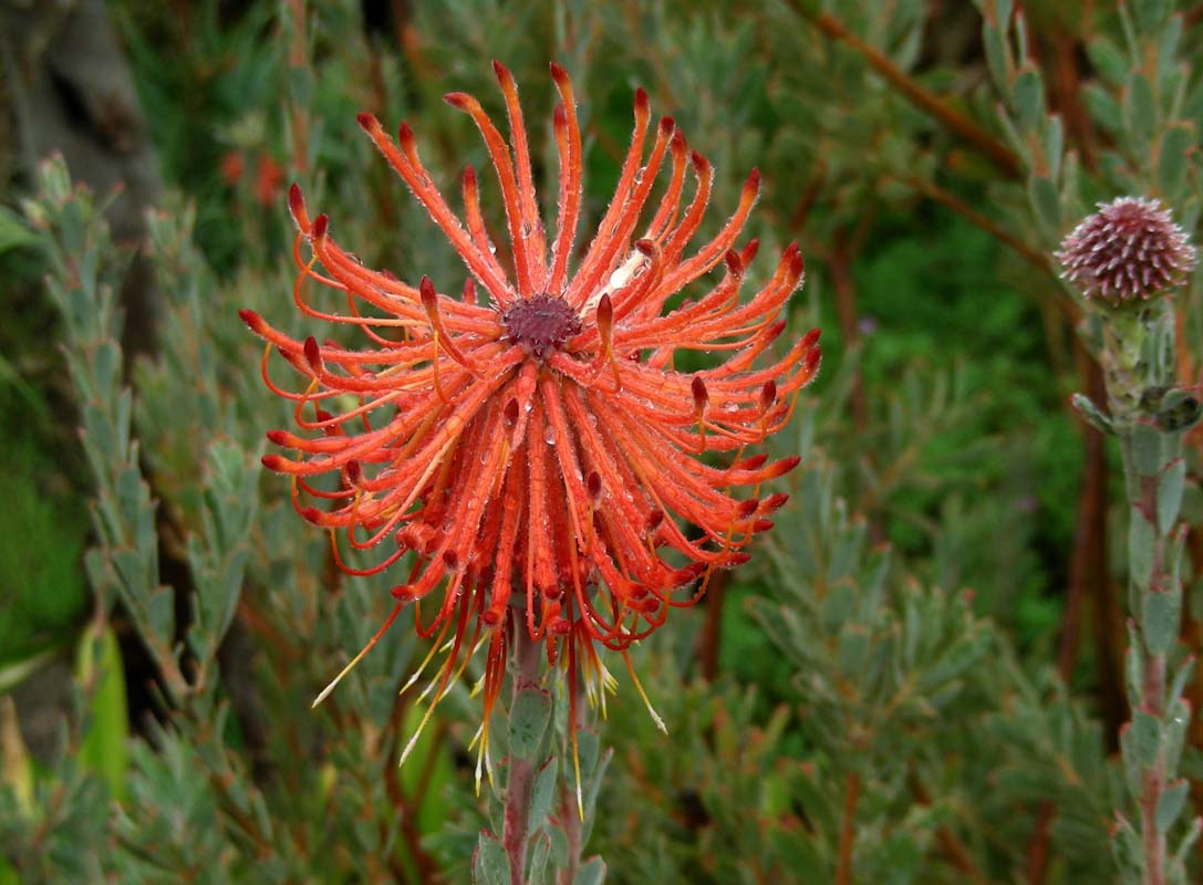
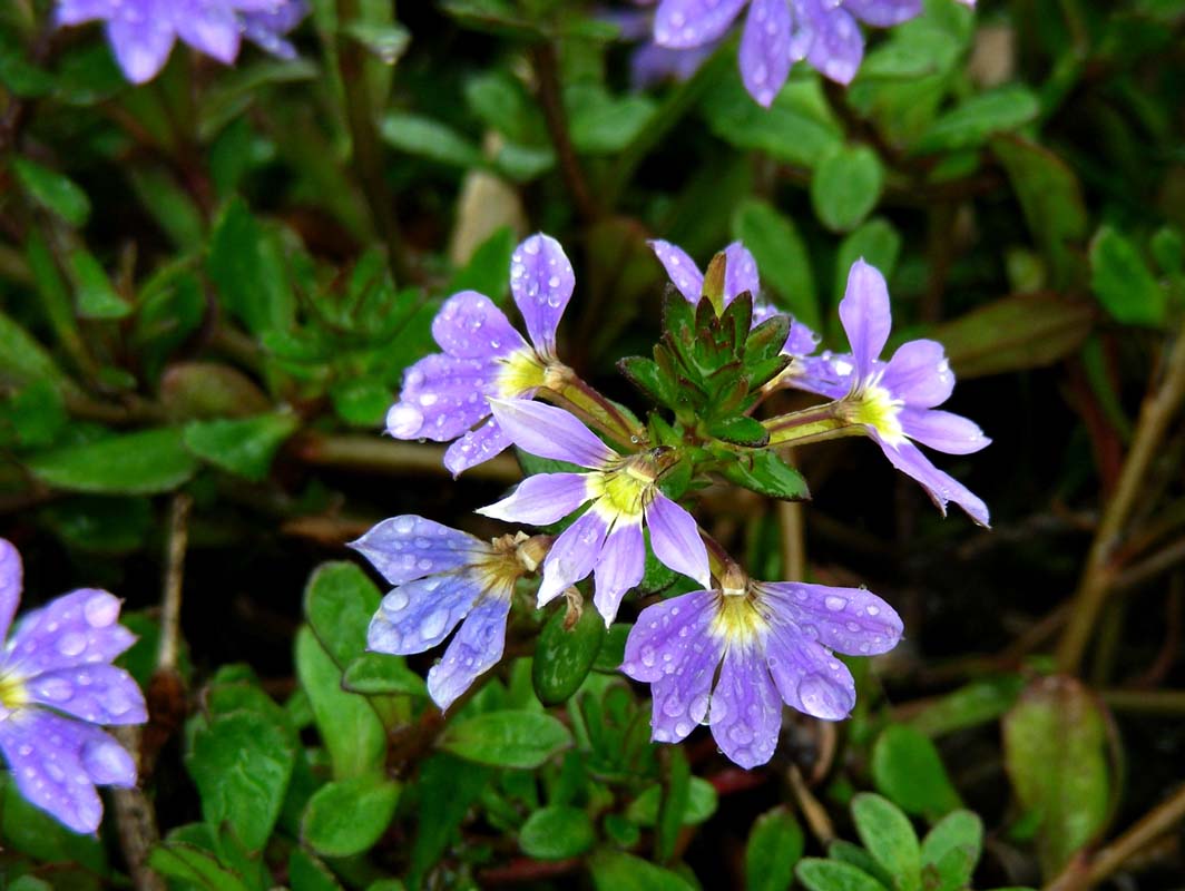
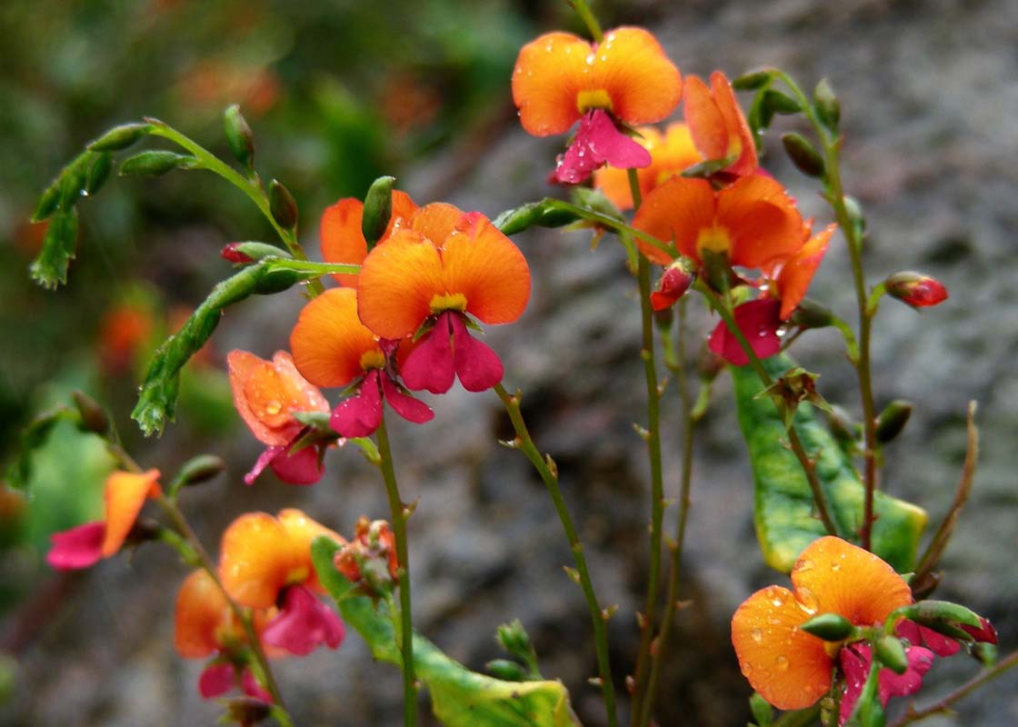
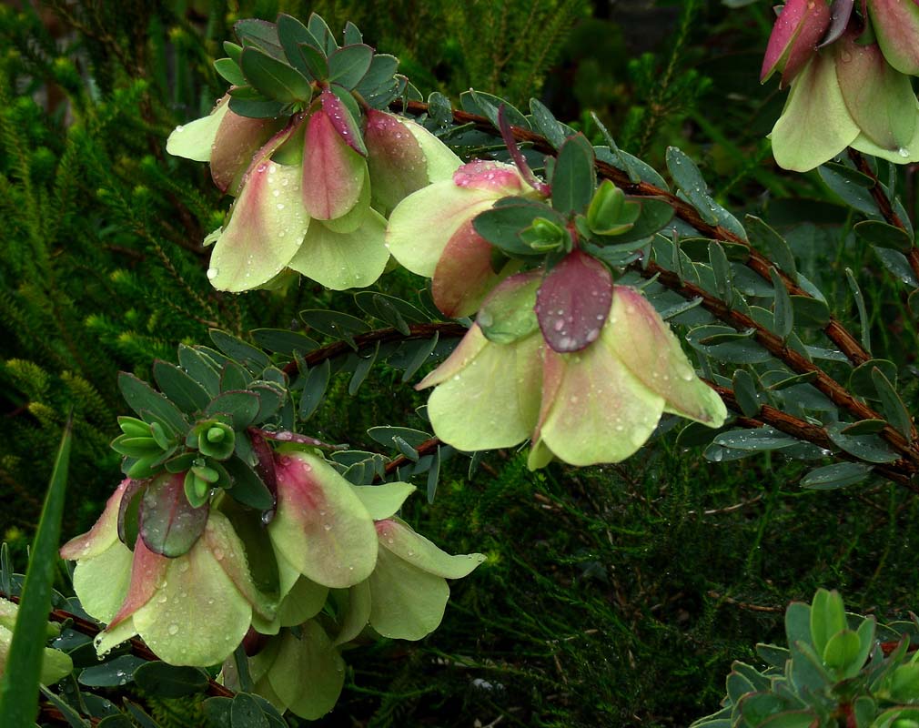
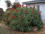
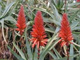
... and enjoy Kings Park and the spring flowers ... in the
rain ....
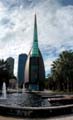
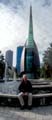
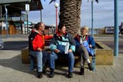
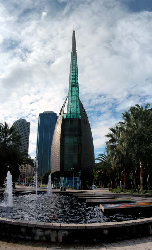
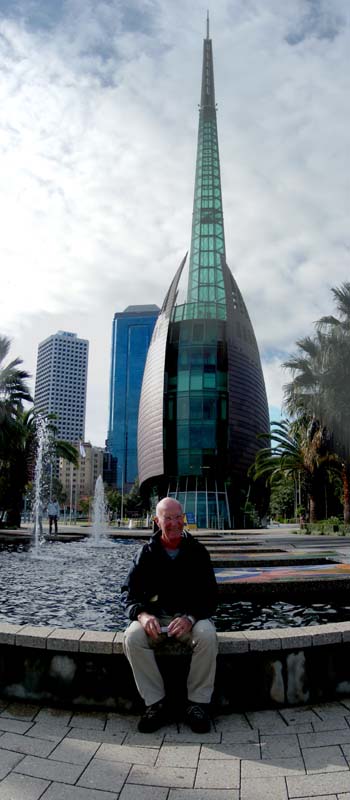
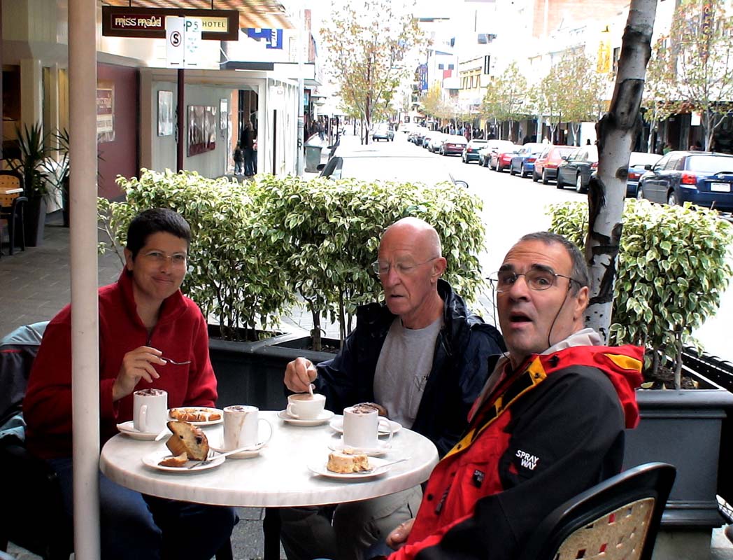
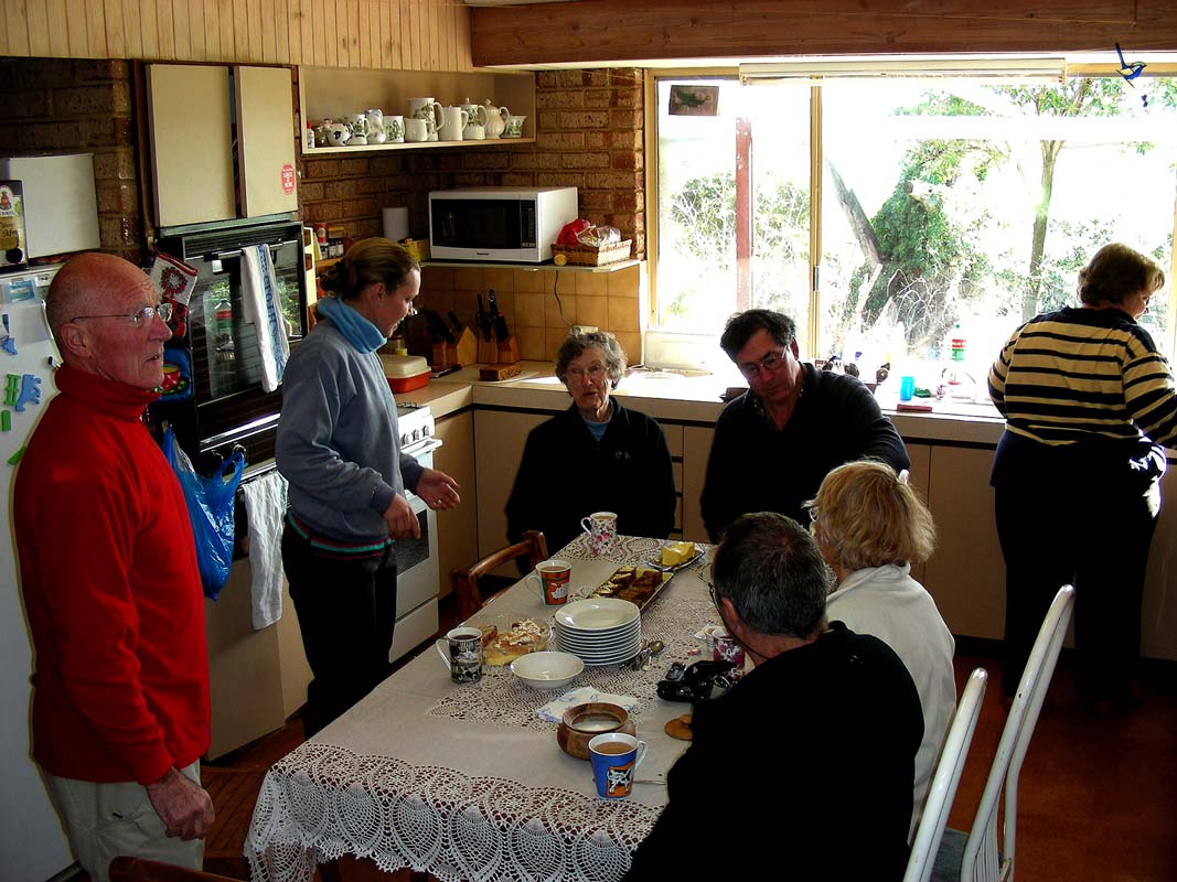
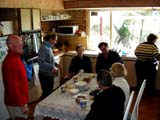
.... the Swan Bell Towers ... have a bit of a chat at Mrs.
Maud's with cakes and coffee .... meet some of the "locals"
...
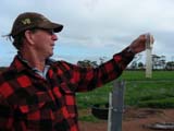
We leave Perth on Monday, July 30, 2007, in direction of Beverly were
we plan to visit
Robert
and Cherry Williamson on their sheep farm
.
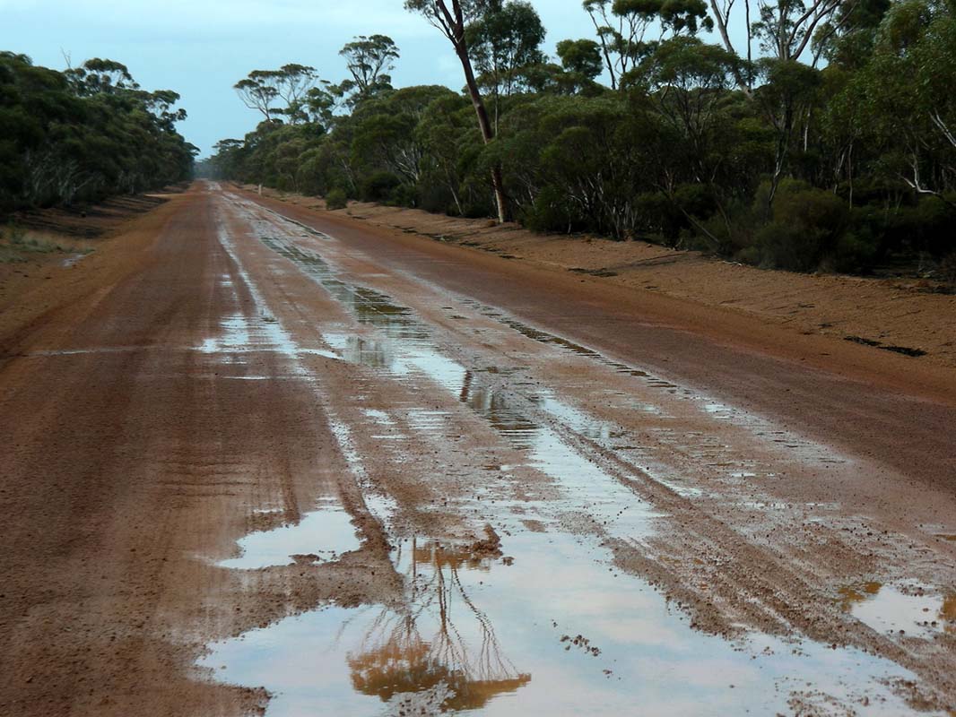
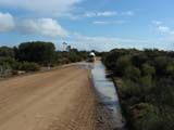
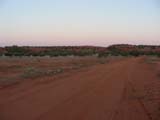
The weather is absolutely disgusting, rain, rain, rain … we
hope to find some better weather out east.
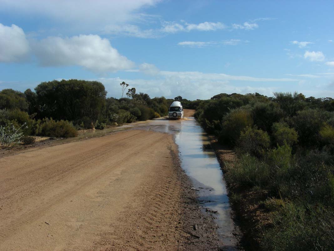
The country is soaked in water, some areas slightly flooded.
This is the fourth time we come through this area and for
the first time we see water in the creeks, most of them
are brown and swollen.
Many dams are full, but not all of them .... the last creek
before the Williamson's farm is just about to be flooded …
Later on Robert tell us that this is an average rain year,
like they used to have it.
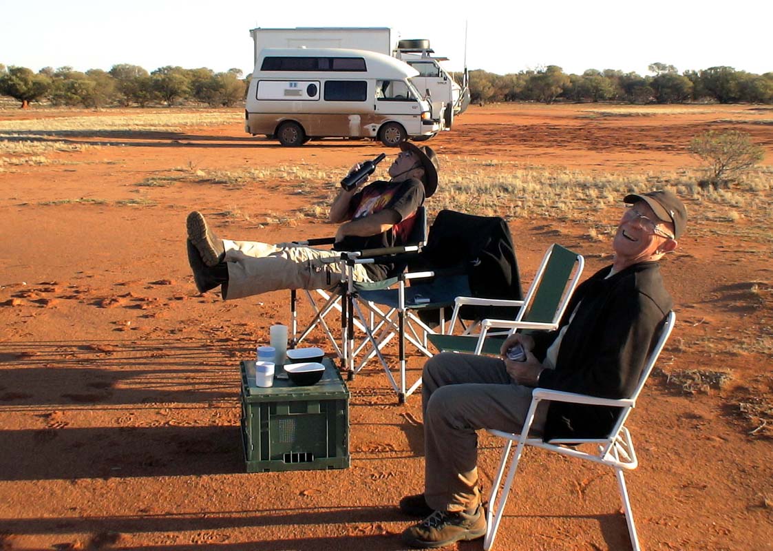
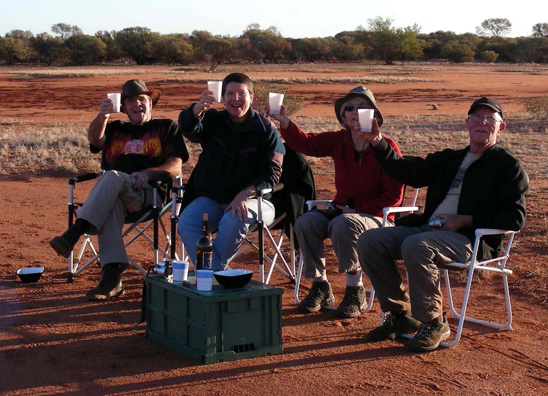
We stay at Robert and Cherry farm for the night.
As usual there is lots of laughter and fun until late.
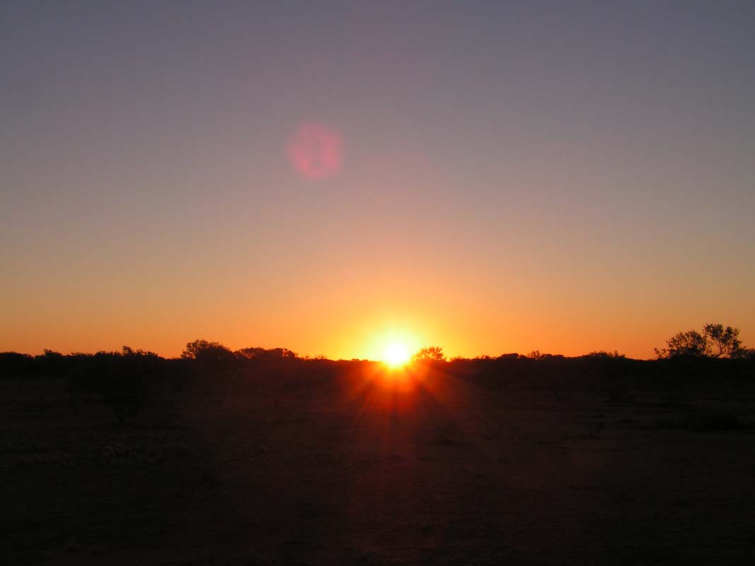
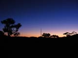
After a stormy night with a fair bit of rain and temperatures
dropping to 9°C the sun breaks through the clouds, but
not for long.
Cherry arranges that we can visit Robert's sister in Hyden.
This is great!
After a last feast on
Cherry's
famous date cake
and details on how to get to the local tourist attractions
we head off into the rainy day.
Thanks again for all!
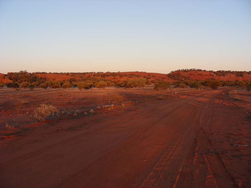
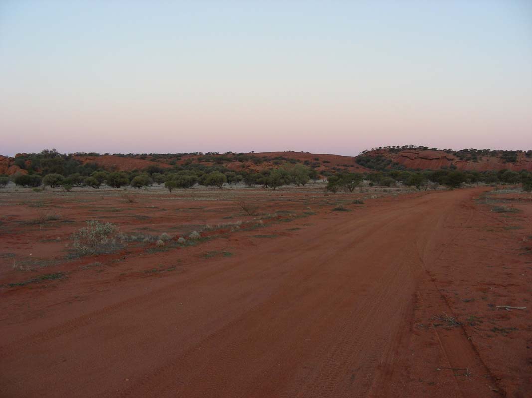
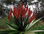
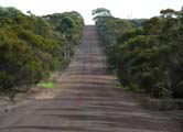
The country is green and very pretty.
The sheep look like white clouds in a green ocean.
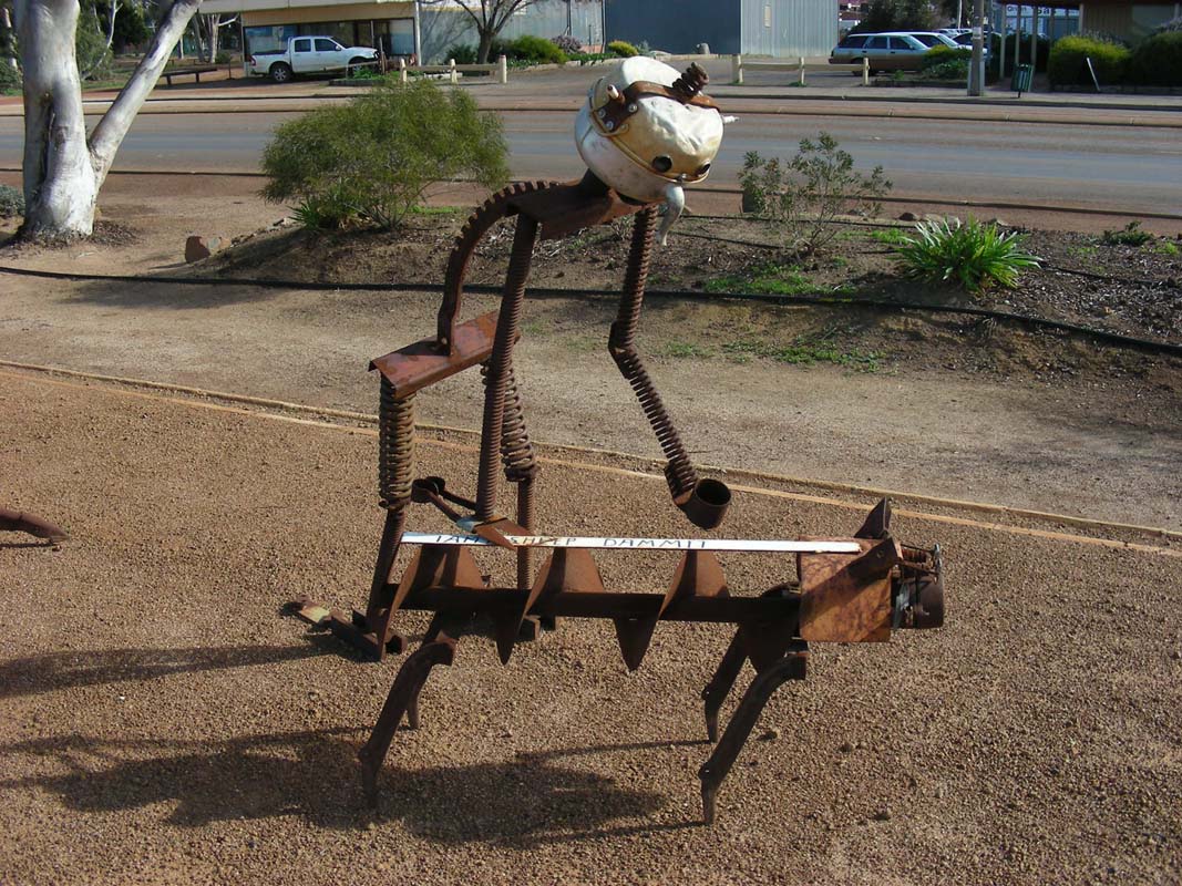
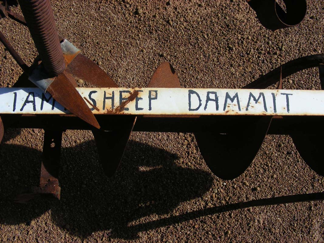
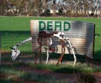
We stop at the
Corrigin
Dog Cemetery
and then visit the small nature reserve right opposite of
it.
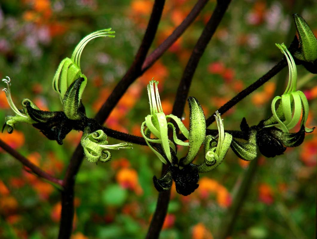
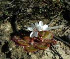
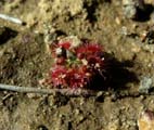
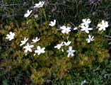
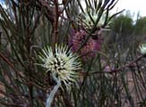
Some flowers are just starting to get out ..... and the road
is pretty wet ....
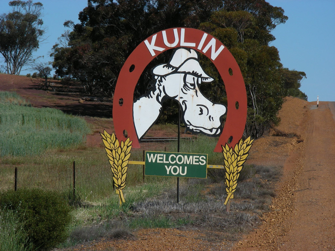
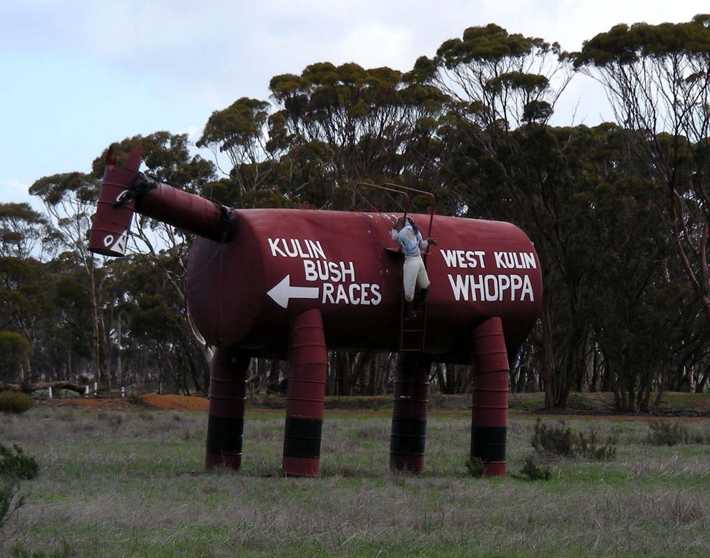
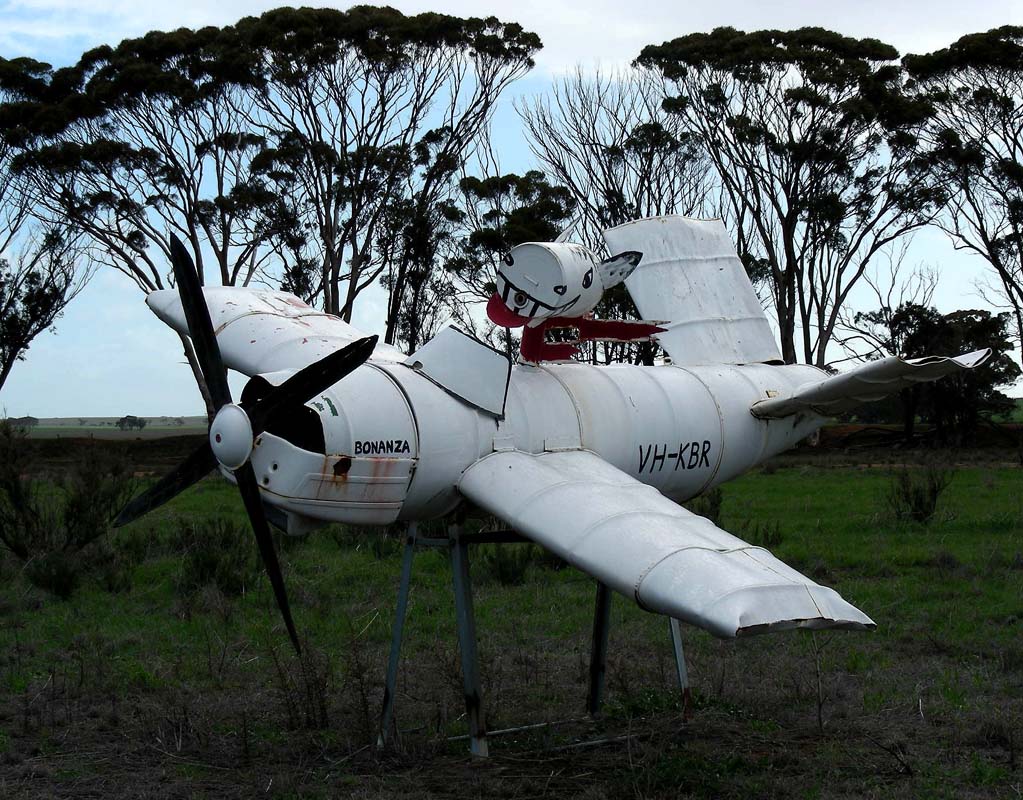
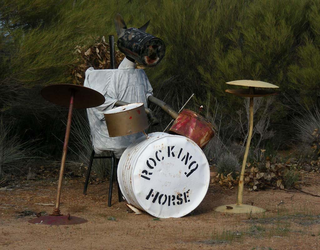
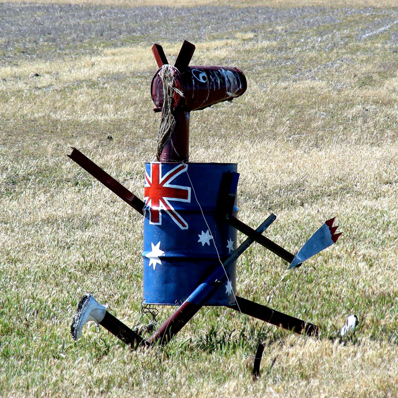
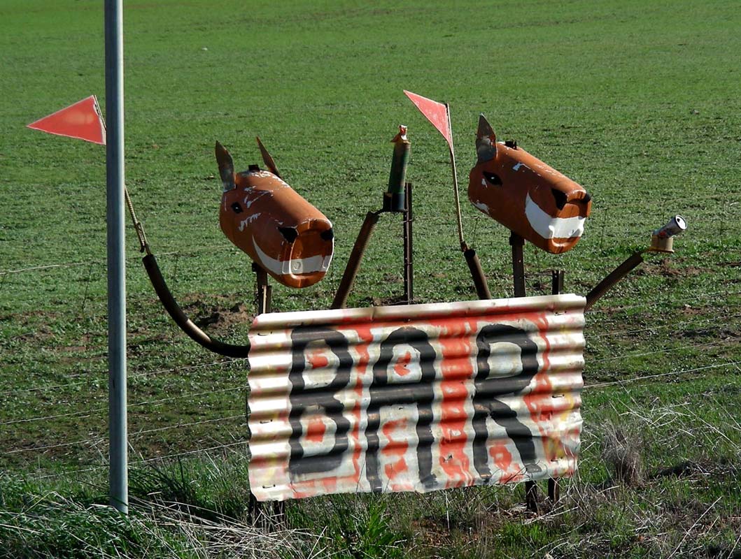
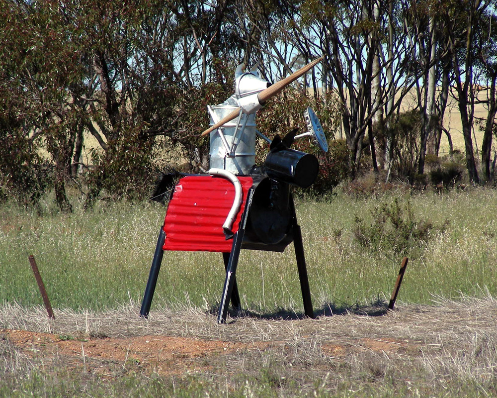
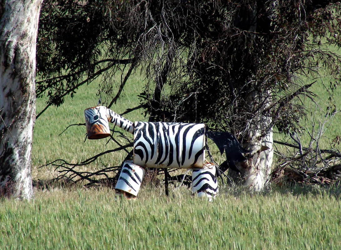
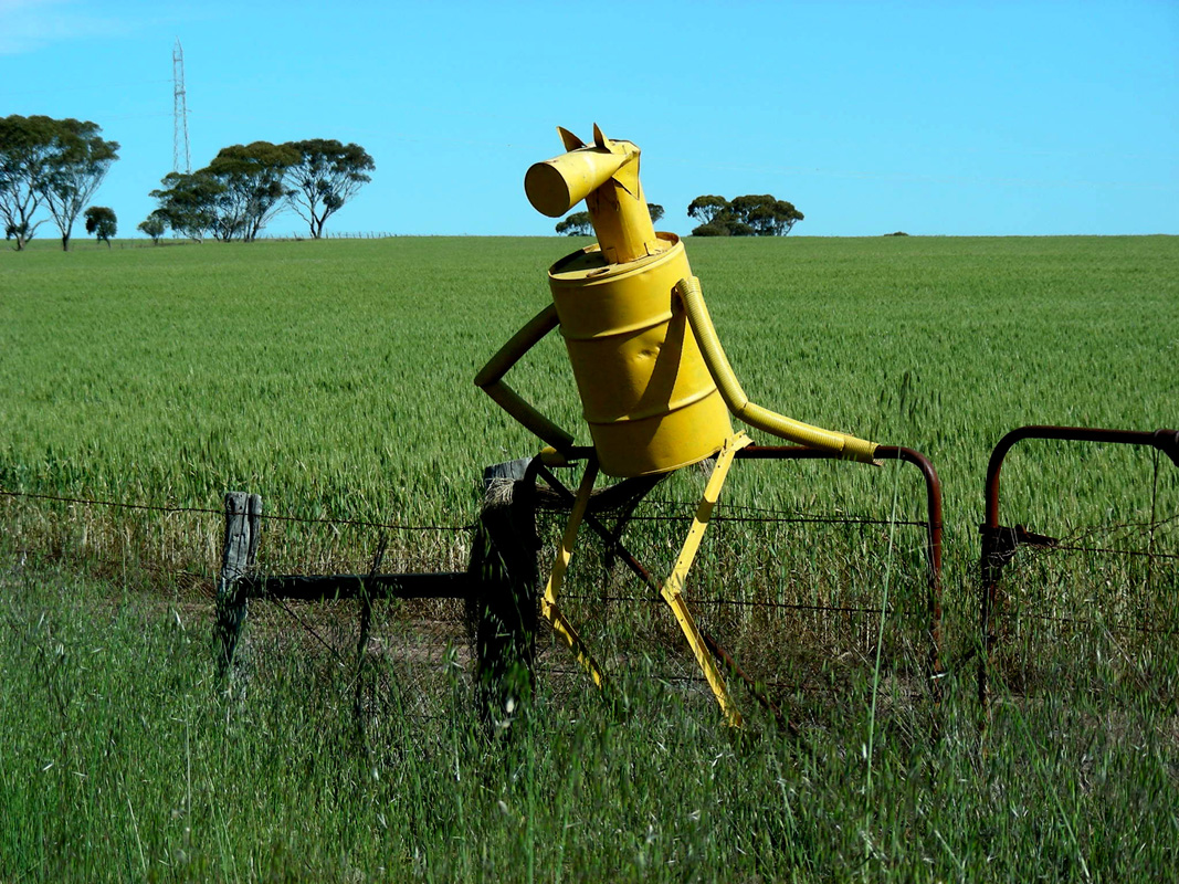
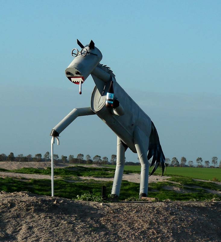
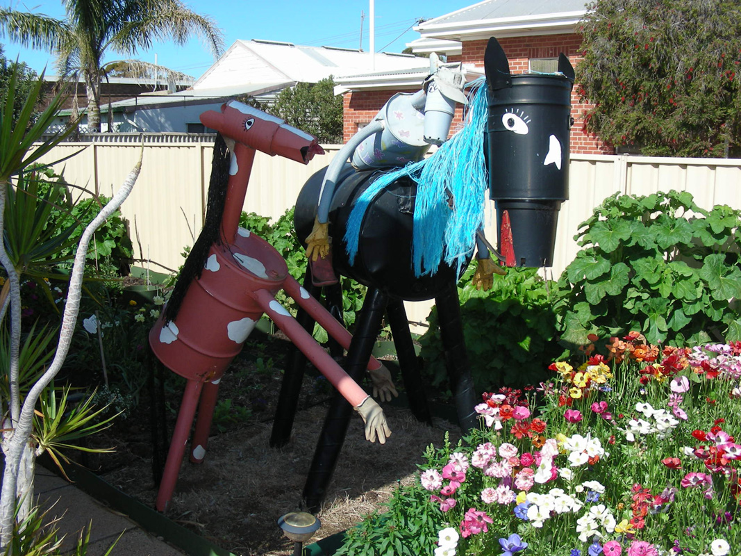
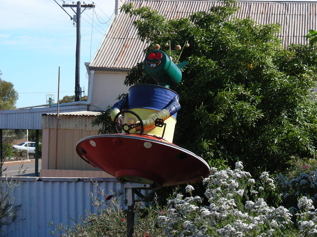
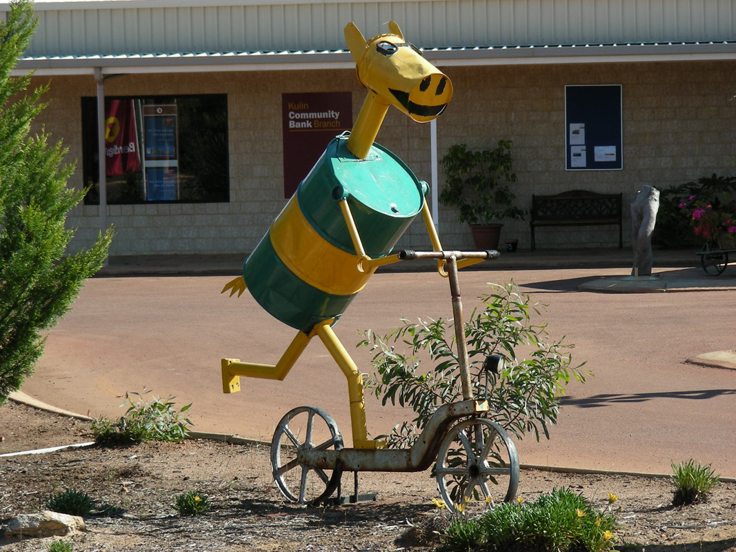
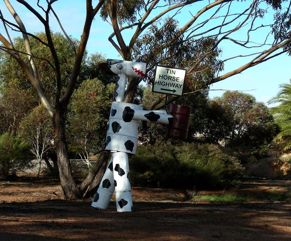
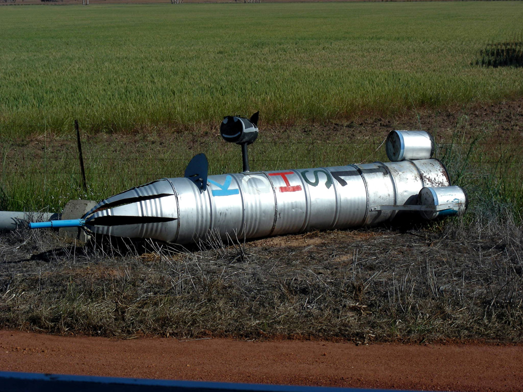
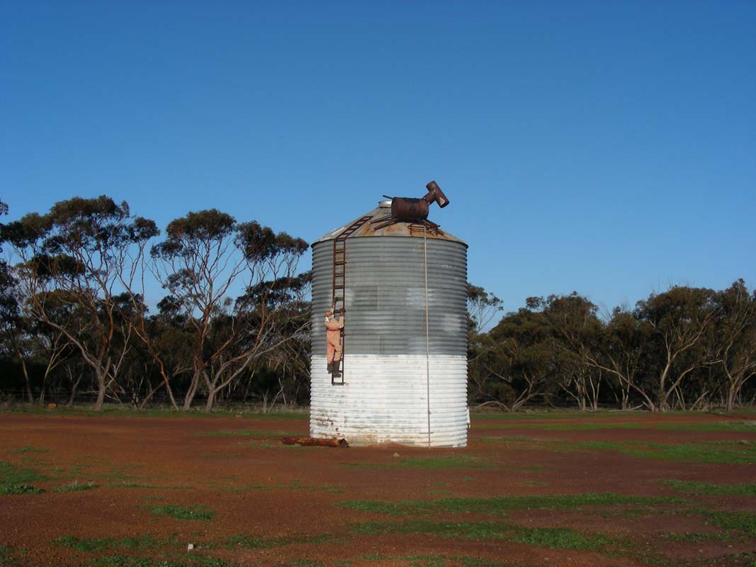
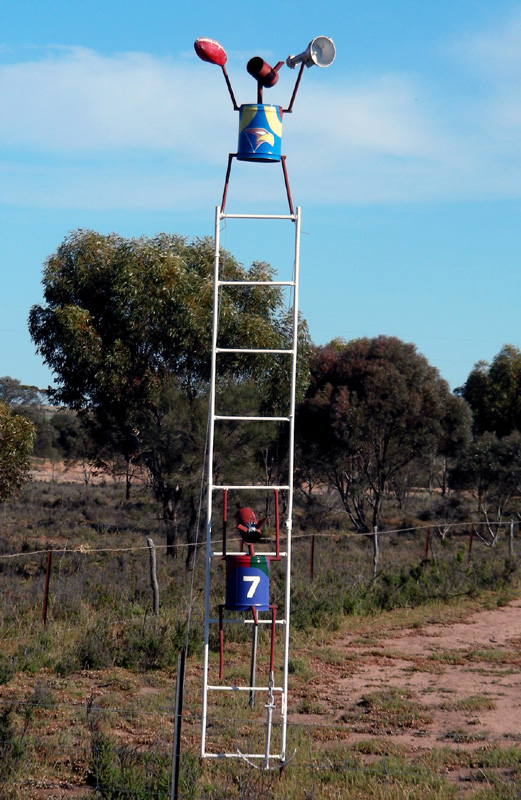
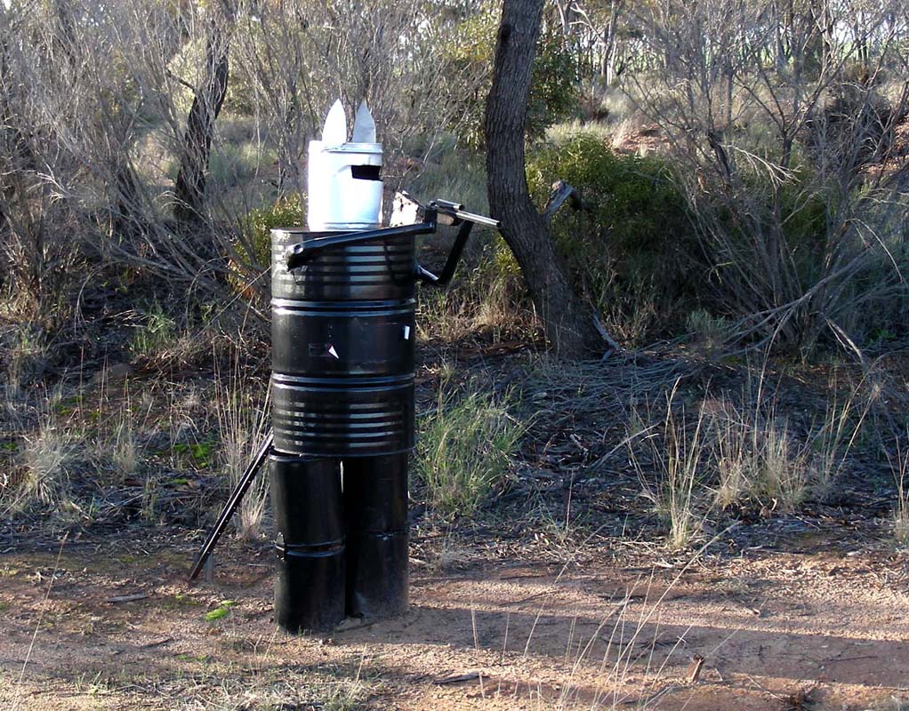
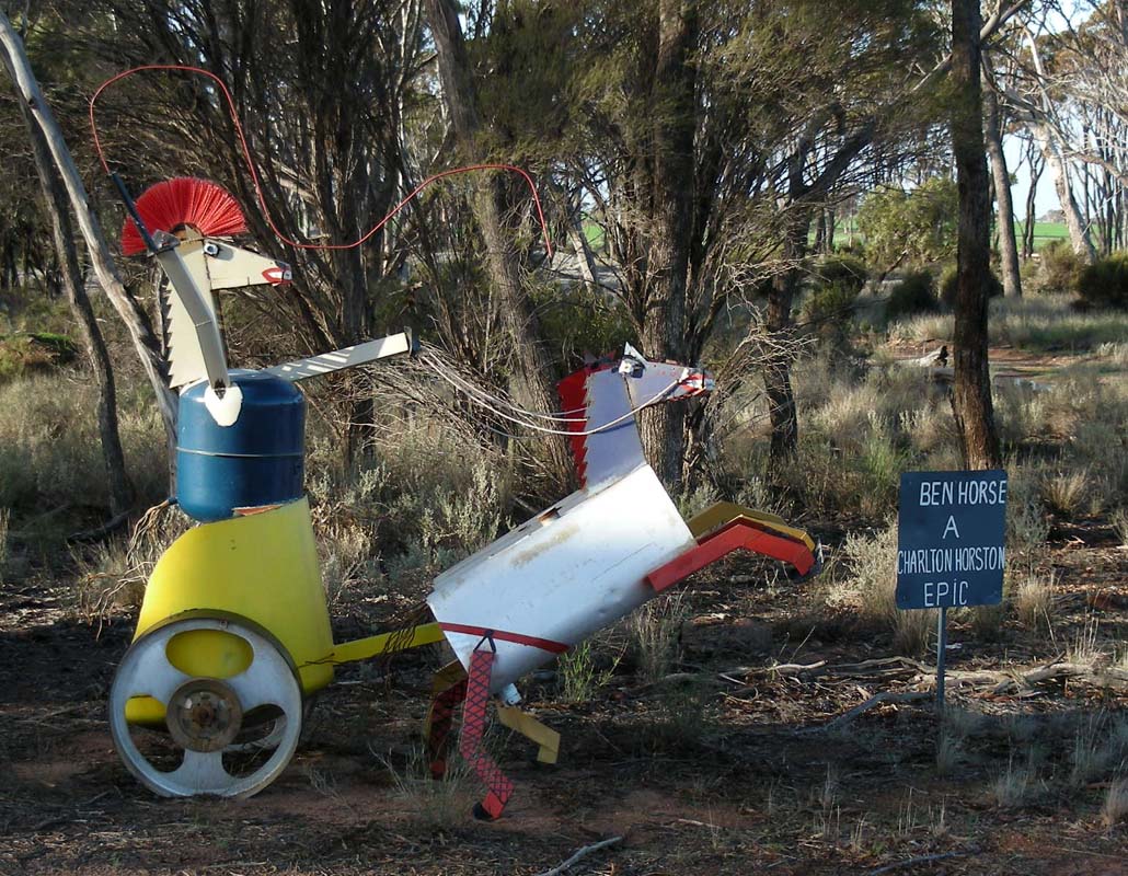
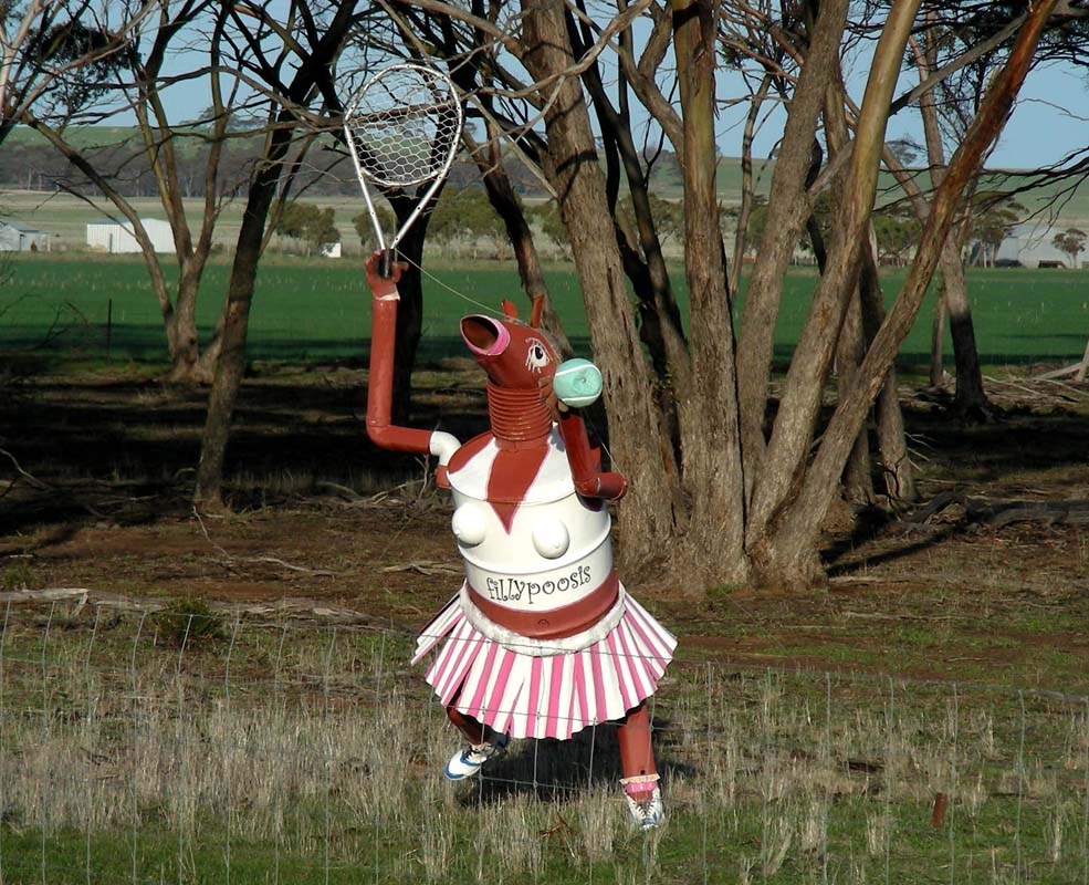
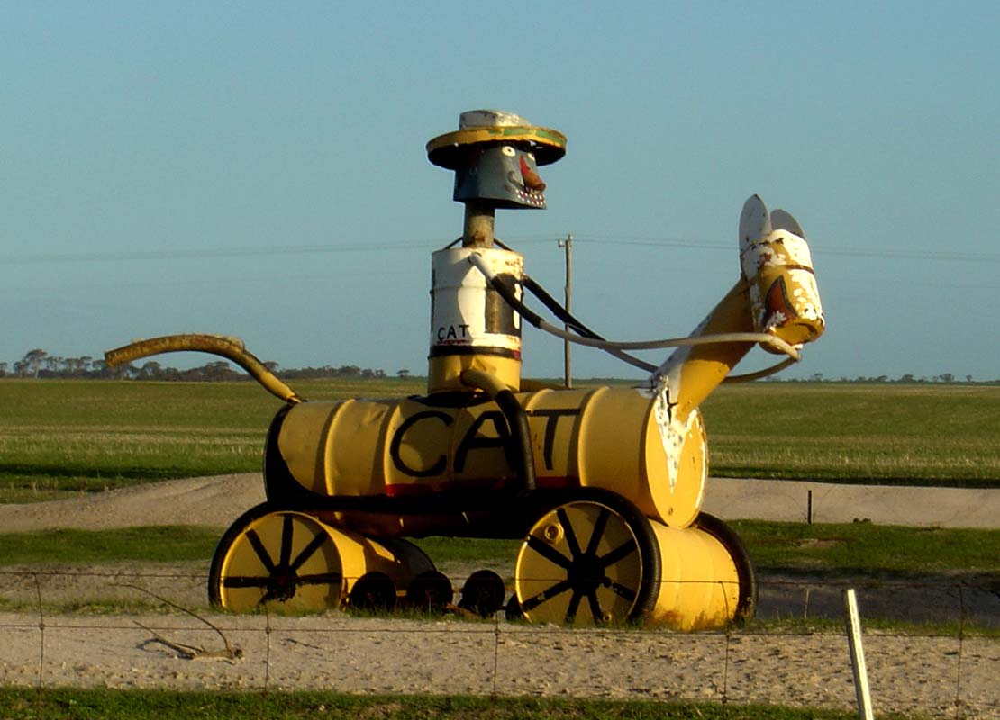
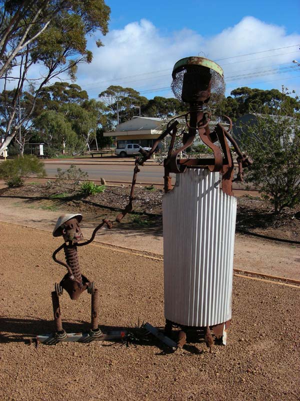
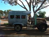
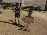
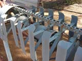
Then we turn south to wards Kulin to visit "The
Tin Can / Tin Horse Highway"
.
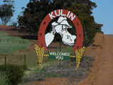

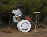
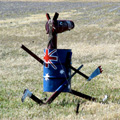
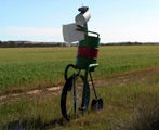

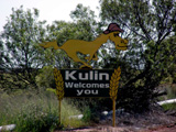


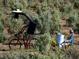


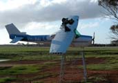


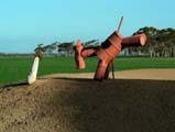
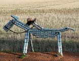
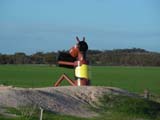
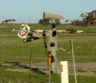
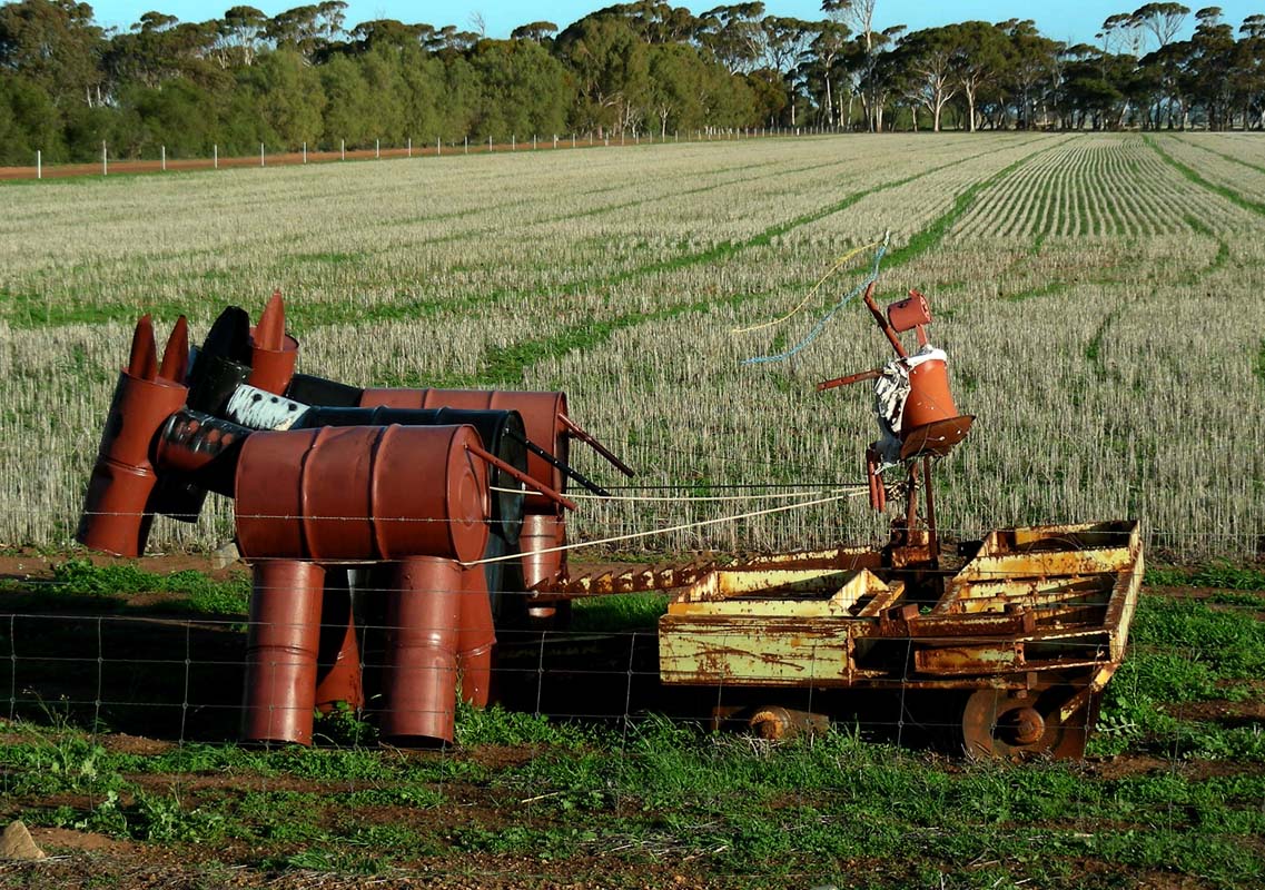
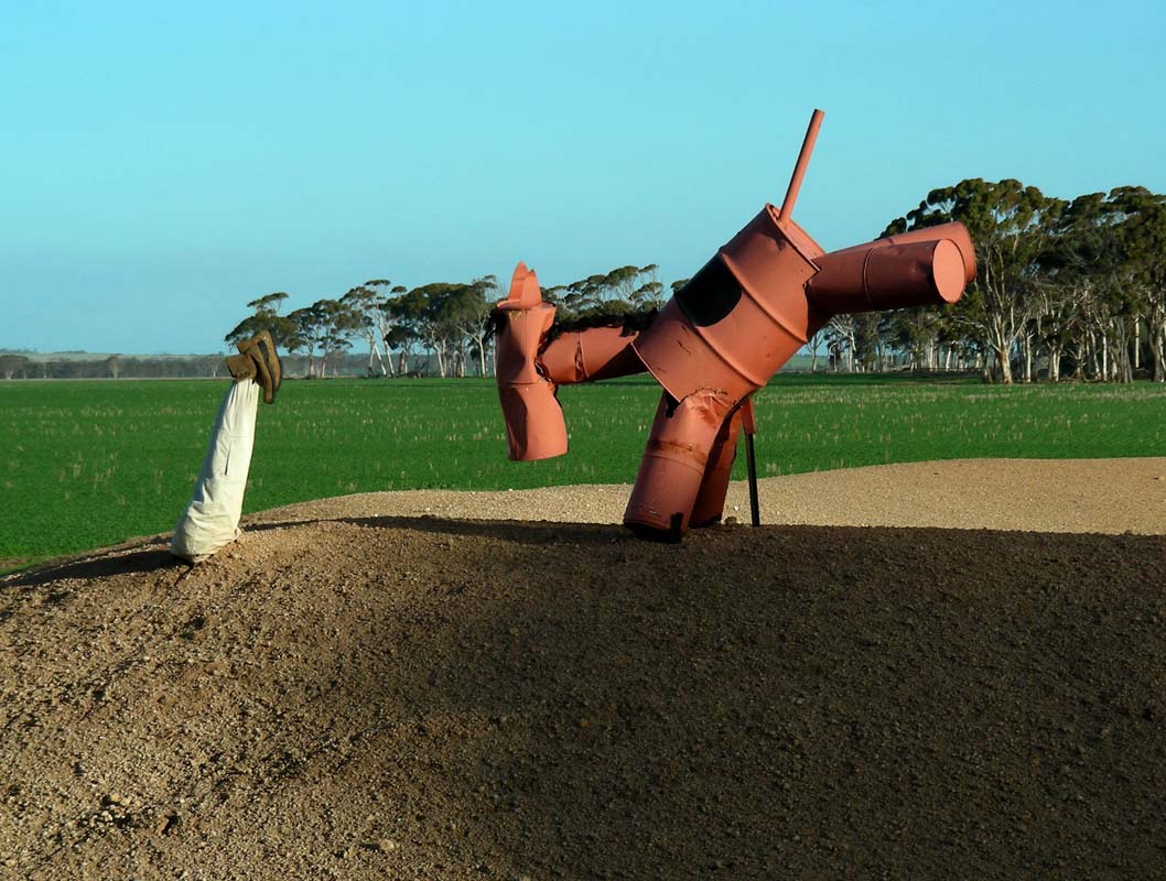
Along the road to Kulin horses made from tin cans have been
lovingly placed to draw attention to the yearly horse races
in October.
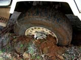
When stopping for a picture-taking session (another one
....) Ruedi makes his first experience with prolong periods
of rain and their effect on shoulders of dirt roads ....
But luckily with engaging 4WD and the diff the OKA pulls
out of it with ease.
At the Lake Grace turn-off we cannot continue because the
road has been damaged and they only allow vehicles up to
3.5 Tones.
This means that we have to drive back to Kulin, adding a
total of almost 50 km to our route.
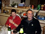
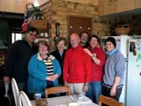
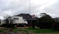
We reach Hyden just as it gets dark and
manage to find the farm of Garry and Wendy Whitwell.
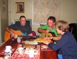

We have a great evening with Garry and Ruedi playing the
guitar and the rest of us singing along.
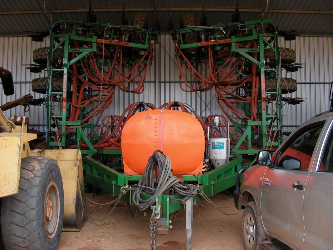
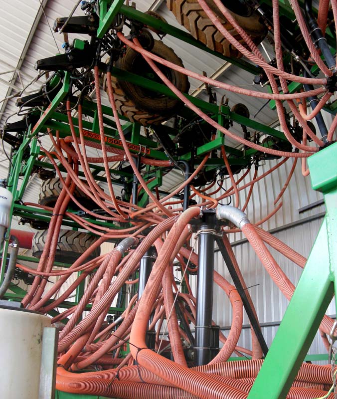
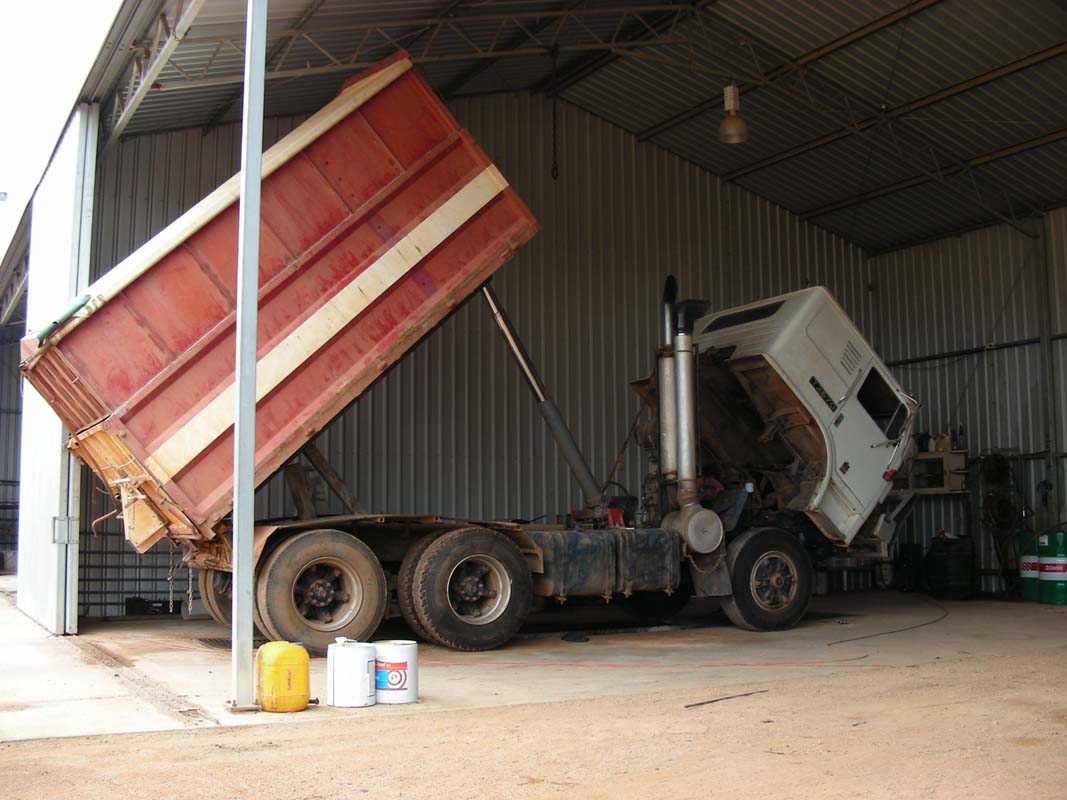
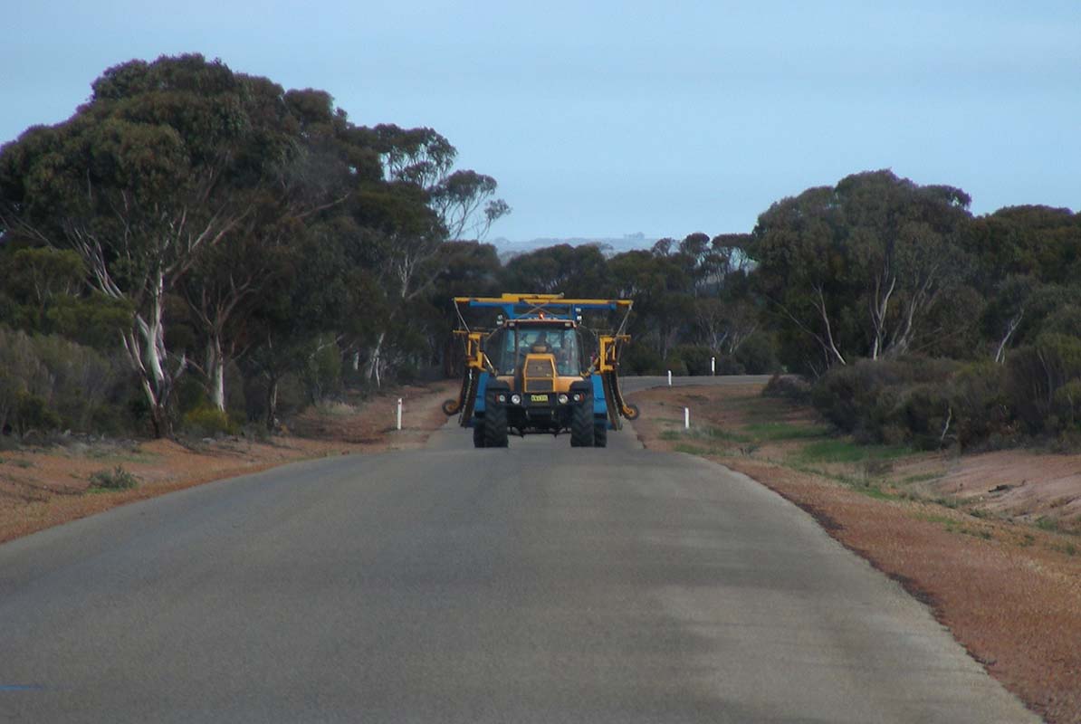
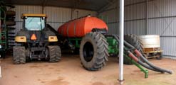
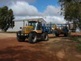
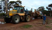
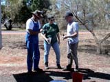
On Wednesday Garry shows us the farm's machinery.
Garry, Wendy and their sons farm 4'800 – 5'000 ha
of arable land.
Seeding takes 4 men two months (6 weeks 7 days 24 hours
non-stop work).
Two drivers change shifts every 12 hours, one person brings
supplies and spares and one person removing the large rocks
and tree roots.


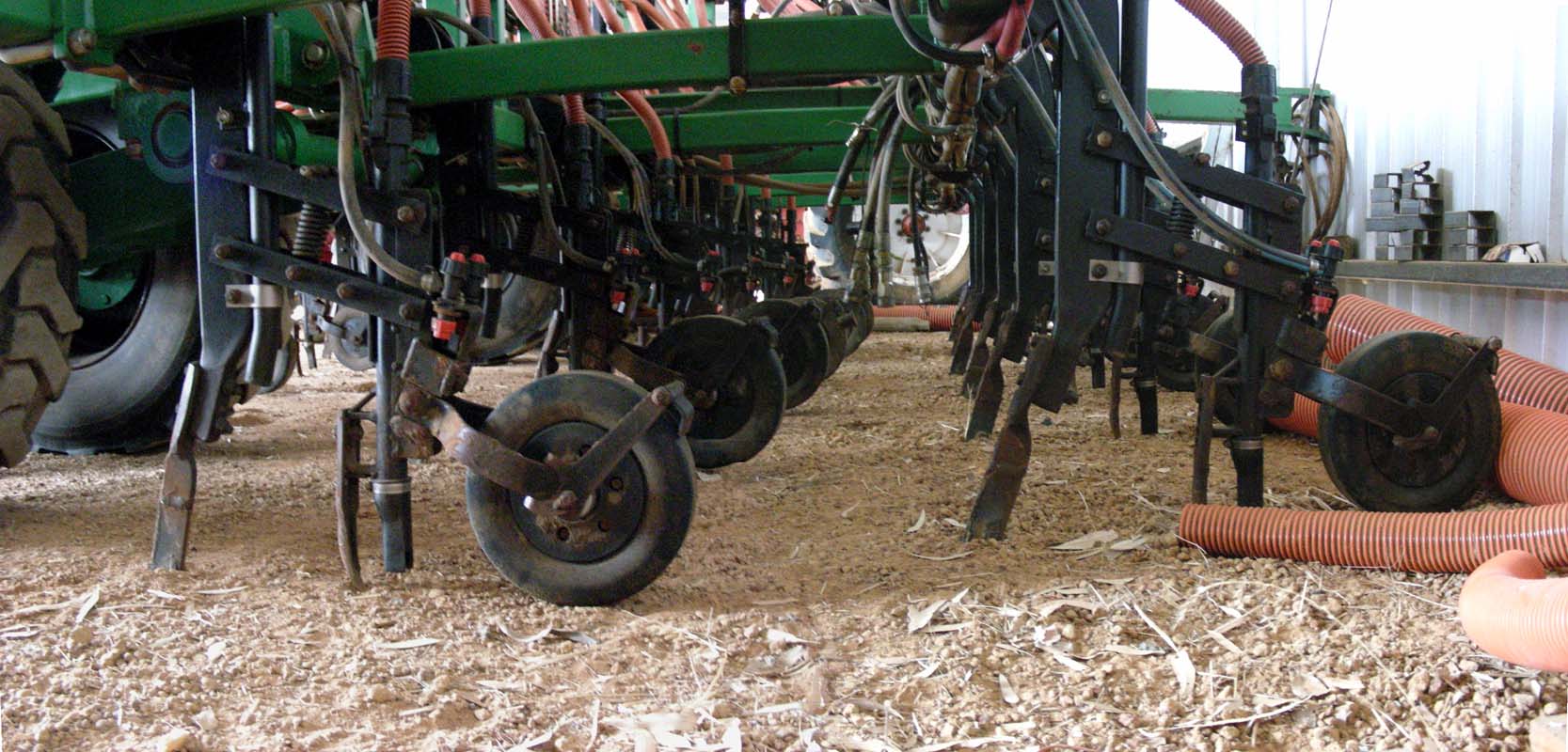
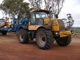
The machine for seeding is 18.5 m wide.
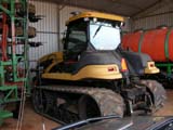
The tractor pulling the seeding machine and the liquid
Nitrogen tank is fitted with caterpillar tracks to lessen
the compression of the ground.
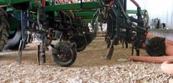
The whole digging, seeding, fertilizing and covering process
is done in one go.
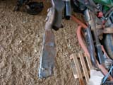
If the Tungsten digging-tool hits a rock it bounces back
and then tries again with a softer approach, to get around
the rock.
The fertilizer is dropped a bit aside the seed, close enough
to fertilize but not too close that it would burn the young
plant.
Then liquid Nitrogen (Flexi-N) is sprayed on the ground close
by, but again far away enough.
Then the wheel will close the drench and compact it.
The machine can be configured with regards to the depth
of the drench and also with the amount of pressure applied
to the soil after seeding according to the seeds that are
planted.
Every 50 – 60 ha the machine needs to be reloaded with
seeds, fertilizer and liquid Nitrogen.
The crops they grow are Lupines as sheep fodder, Fabar Beans
and Barley for human consumption and Canola for oil production.
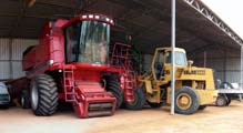
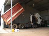
Other heavy machinery is also sitting in the shed, ready
for when they are required to do the job.
Maintenance to the whole machinery is done locally.


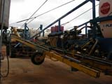
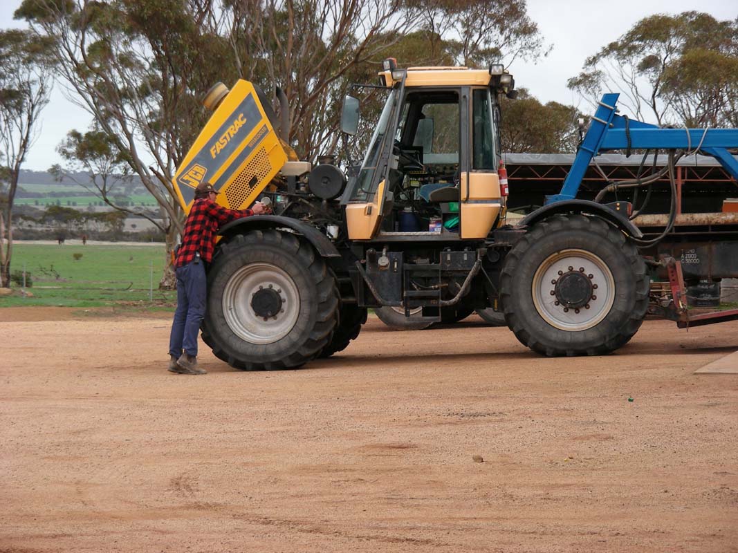
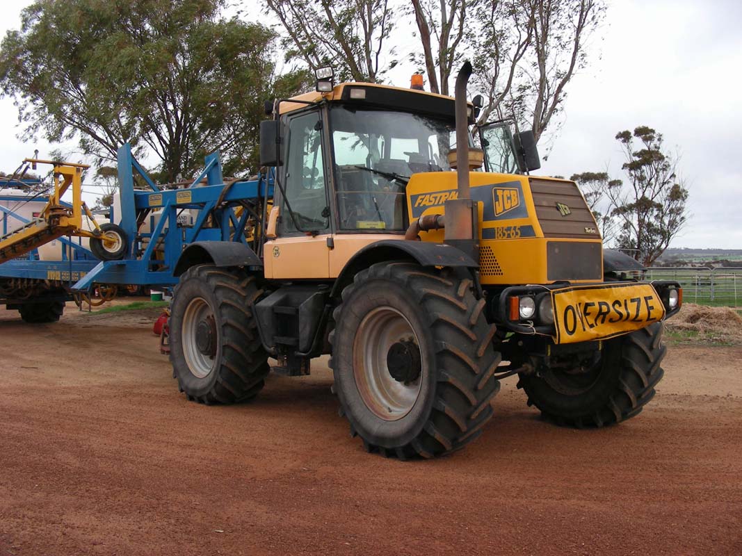
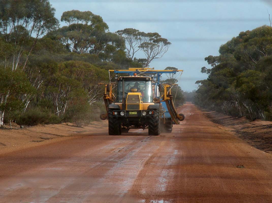
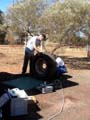
The sprayer is 45 m wide. It is pulled by a tractor with
wheels to keep the amount of plants flattened by the machine
as little as possible.
The tank holds 7'000 litre and 120 – 150 ha can be
sprayed with one tank.
The tractor is automatically guided by a GPS.
Thanks to differential GPS the driven route, calculated by
a PC, is accurate to
3 cm.
Garry's role basically is to watch for alarm lights, the
rest is all done automatically.
Today's modern farmers must have a good understanding of
computing and also on how to maintain the complex machines.
Later on Garry has to move the sprayer to another property
some 60 km north.


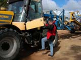
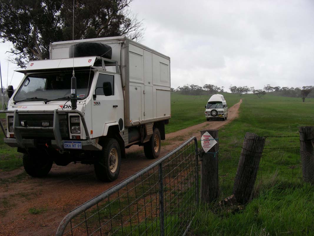
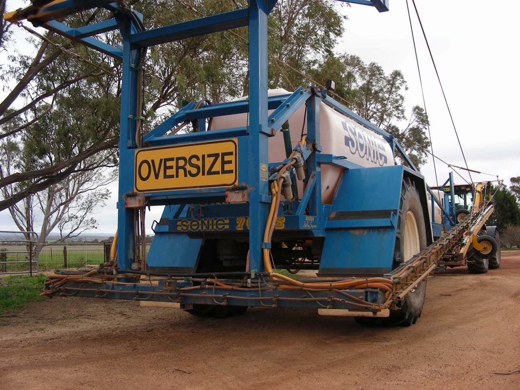
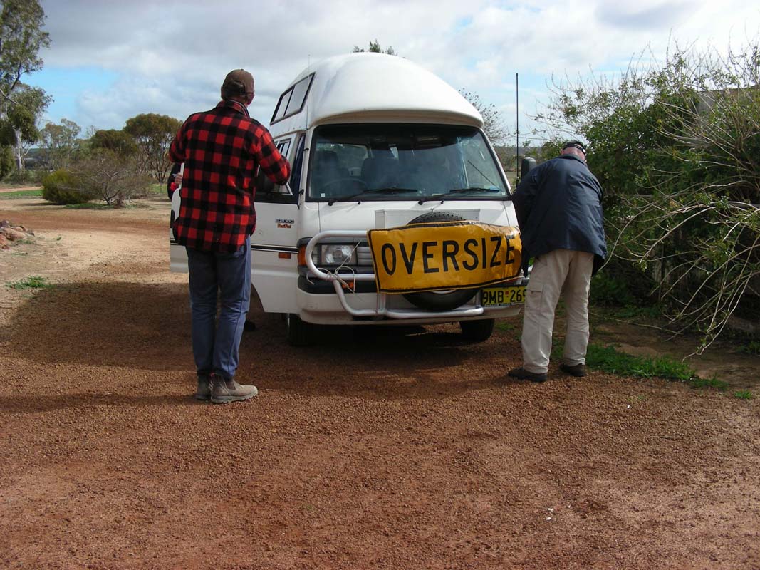
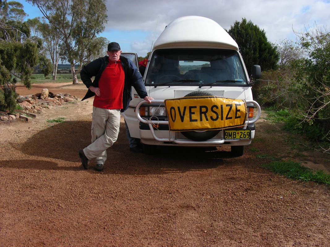
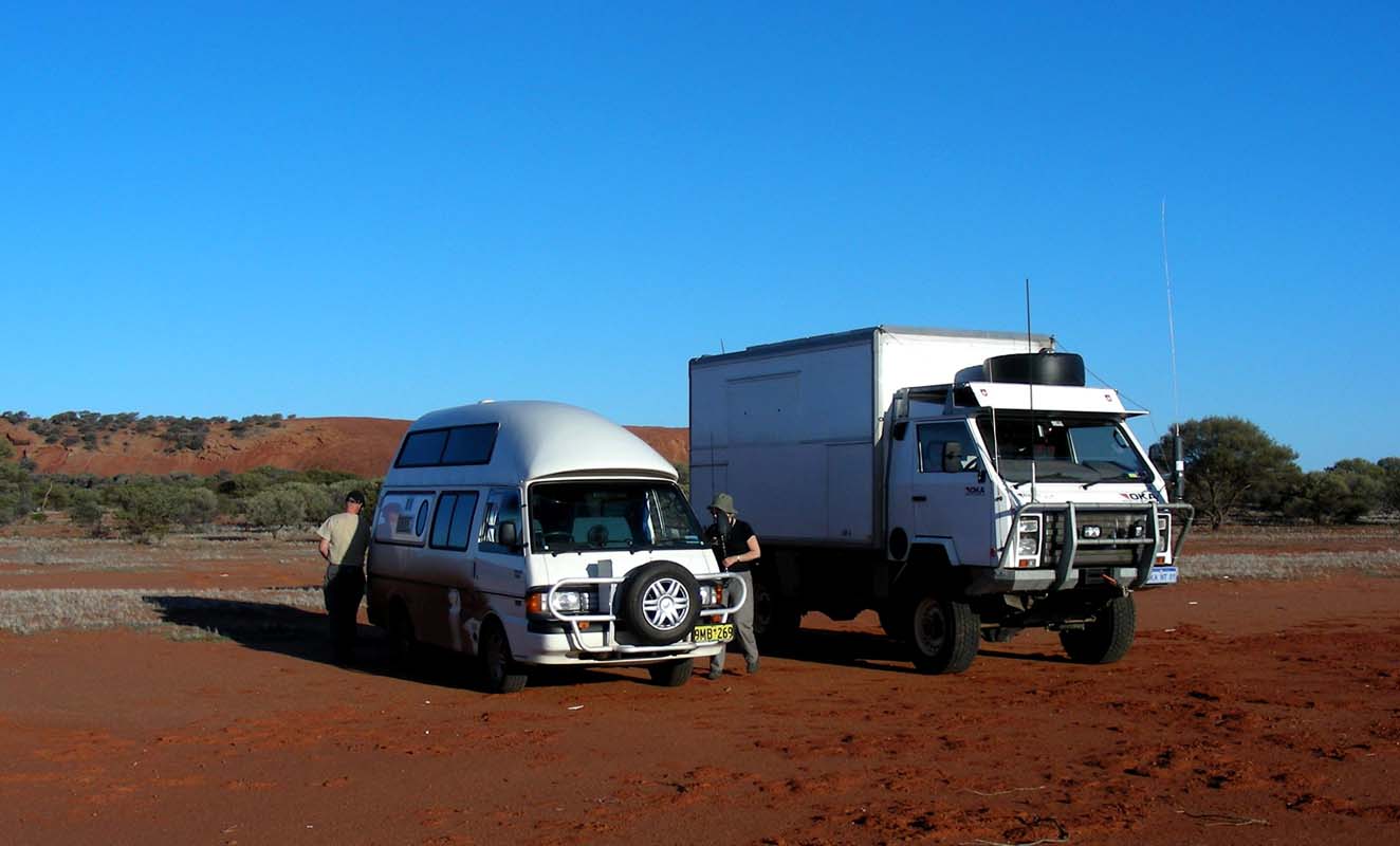
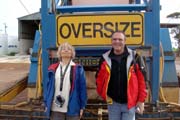
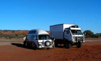
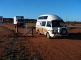
Roger and Katarina's camper is equipped with an "Oversize" sign,
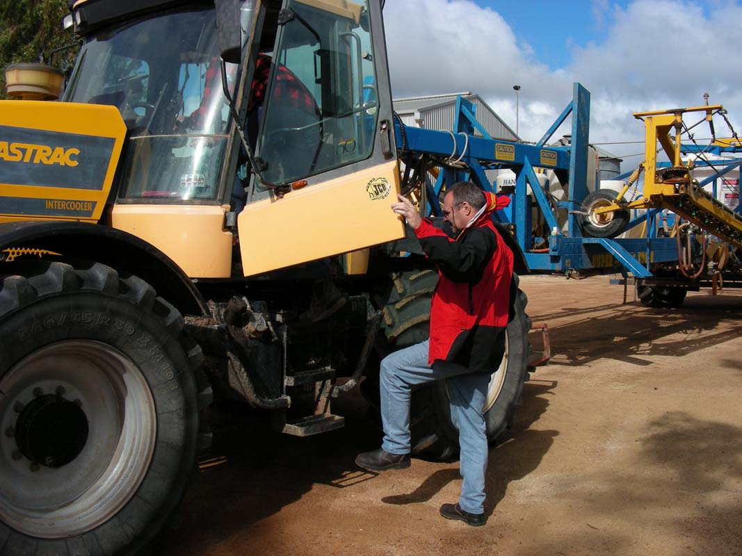
Ruedi climbs into the tractors cabin with Garry, we all tune
into channel 40 (the channel uses by trucks) and leave.
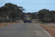
Roger has to keep a distance of approx. 500 m to the sprayer.
Susi is manning the UHF radio; she has to warn Garry about
every oncoming car so he can drive to the side of the road
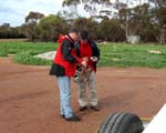
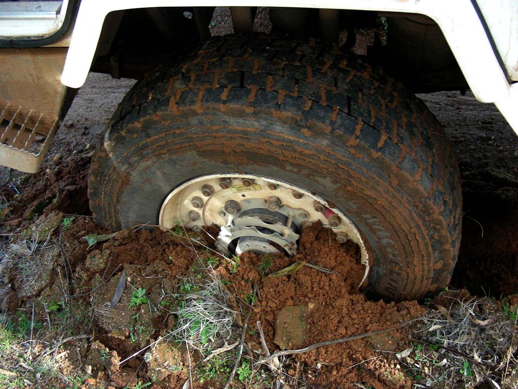
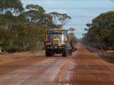
Most of the road is dirt track. Roger's camper is not made
for these roads and every so often has a bit of a problem.
On the corrugation the camper also looses one of its wheel
covers which is then picked up by Garry and Ruedi.
But at the end we all manage and are proud of it.
When reaching the other property Garry checks the rain gauge.
In the 10 days since he was last here, 38 mm if ran have
fallen.
Garry is very pleased with that.
It looks like after the last six dry years this one could
be a good one.
Garry explains that until a few weeks ago there had been
so little rainfall that in some areas the seeds did not
even germinate.
Some of the Lupines have stayed so small that it will be
hard to harvest them with the machine.
With this rain the lupines will not be able to catch up but
at least the seeds that have not yet germinated will now
have another chance.
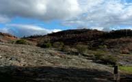
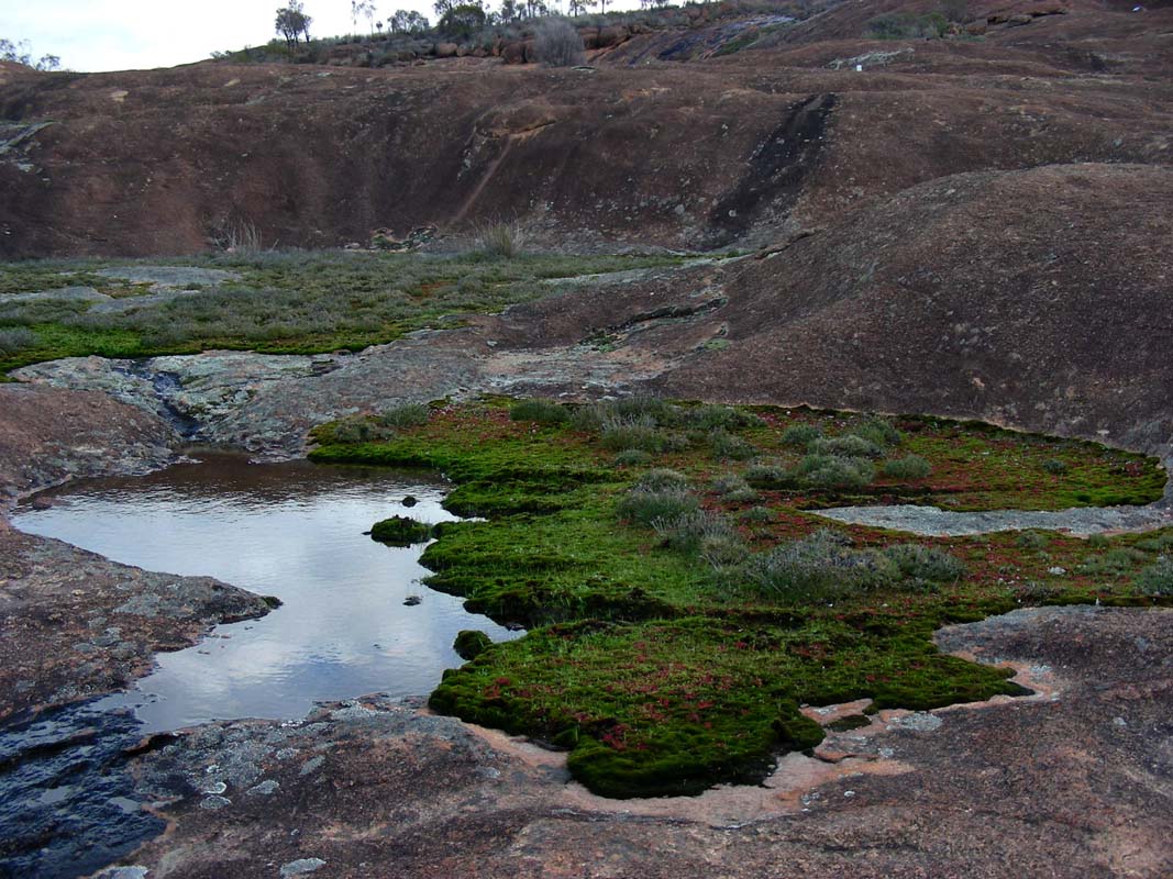
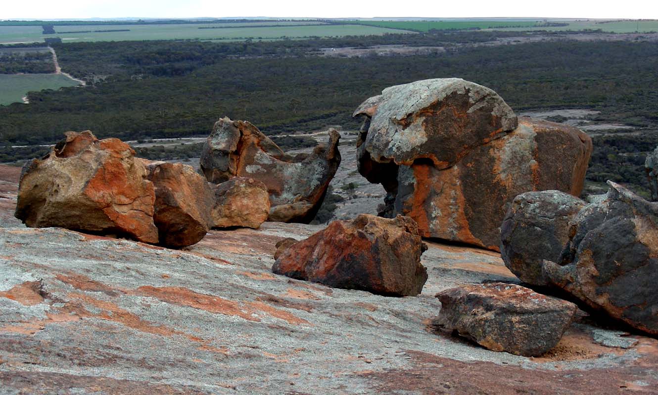
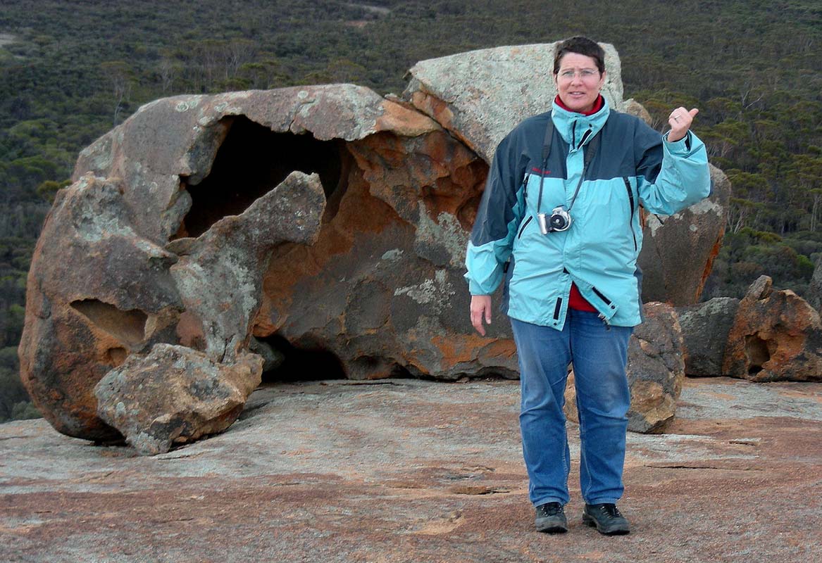
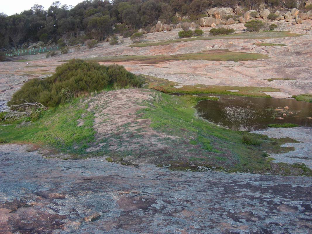
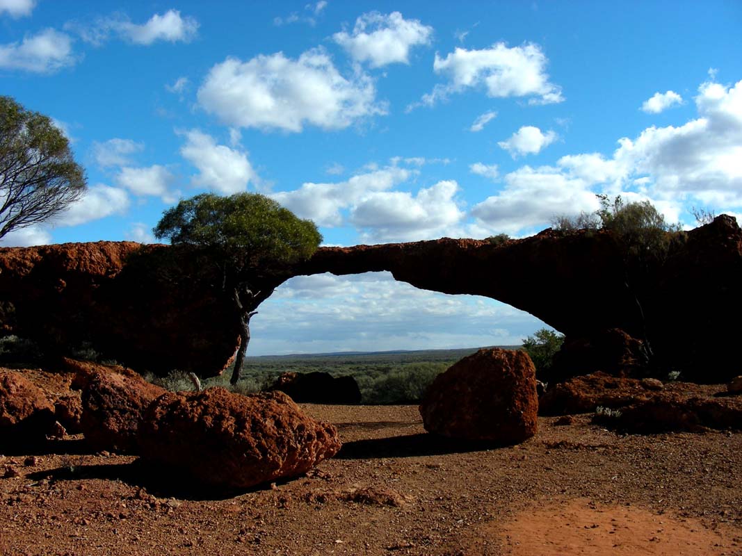
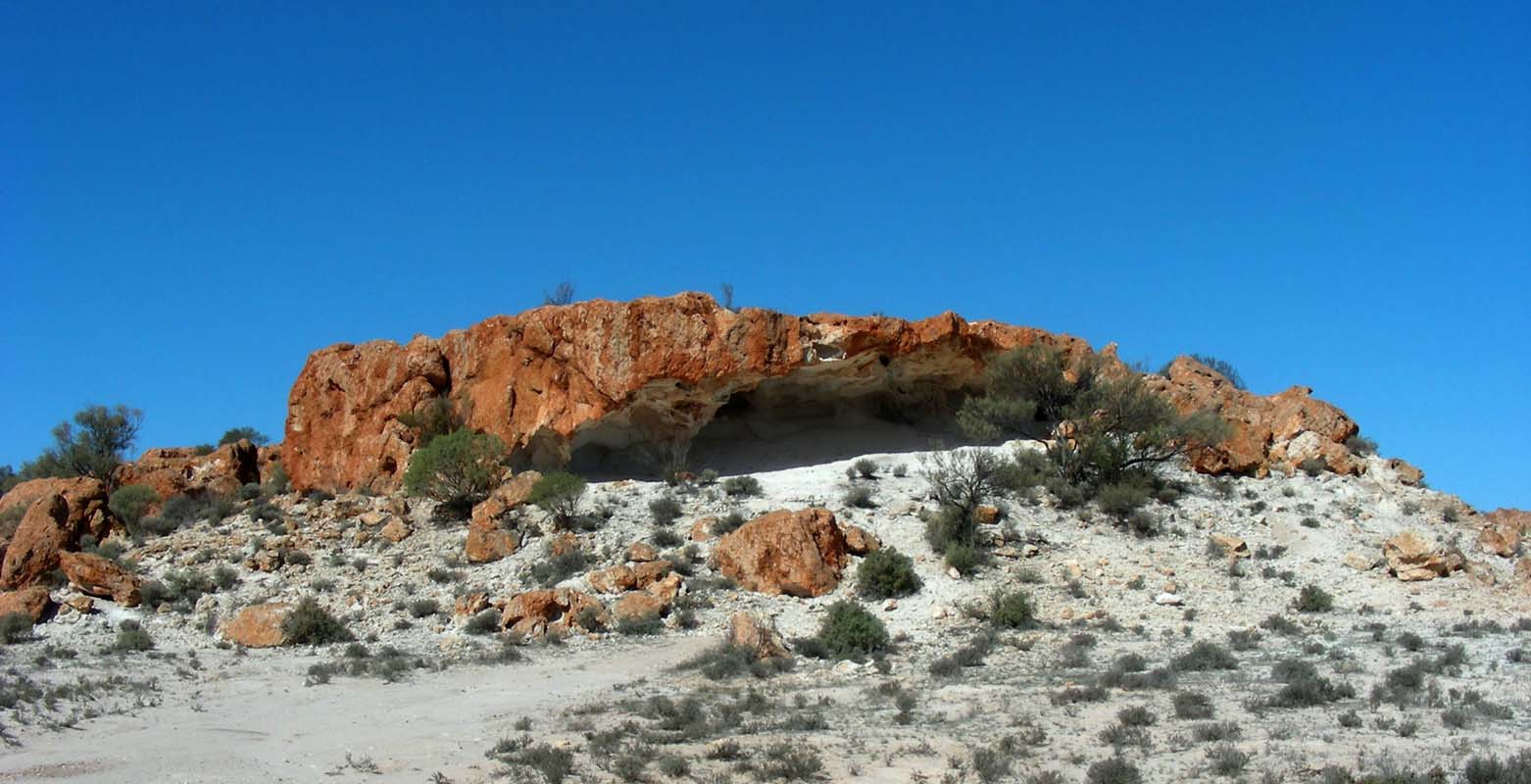
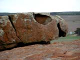
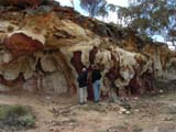
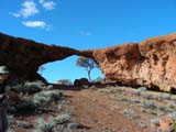
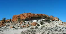
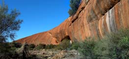
On the way back we stop at "Mulka's Cave" and
"The Humps".
We decide to climb
"The Humps", a large
set of rocks that provide a 360° view.
"The Humps" are also called the poor-man's version
of Wave Rock.
Both were created by belowground weathering ... moisture
present in the deeper layers of the soil continuously chewing
away at the rock face while it was still
underground.
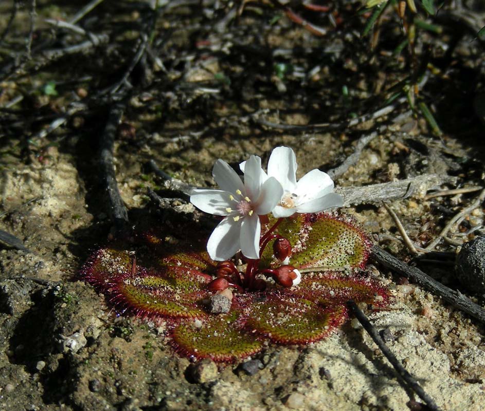
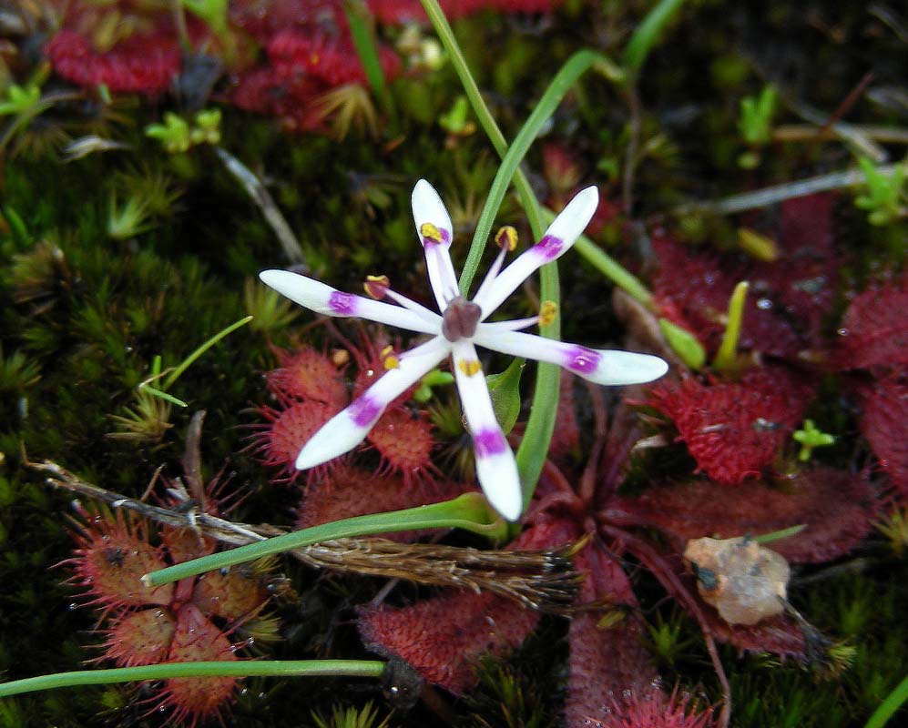
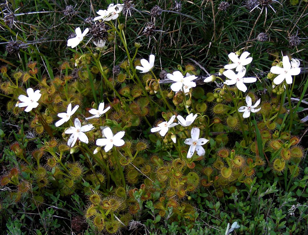
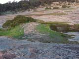
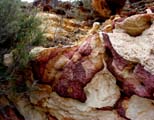
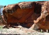
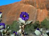
A string of miniature gardens cover the rock face.
They
host large numbers of sundews (carnivorous plants), their
sticky leaves trapping insects that nourish the plant.
The rock ferns (Cheilanthes austrotenuifolia) growing among
the boulders are also interesting.
They are
a type of "resurrection
plant" -
subjected to heat and drought they wither to a dry and twisted
thing, apparently dead, but regain their full healthy shape
within 24 hours of rain!
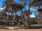
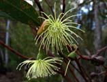
Hundreds of millions of years ago the climate here was tropical,
and "The Humps" was covered in rainforest.
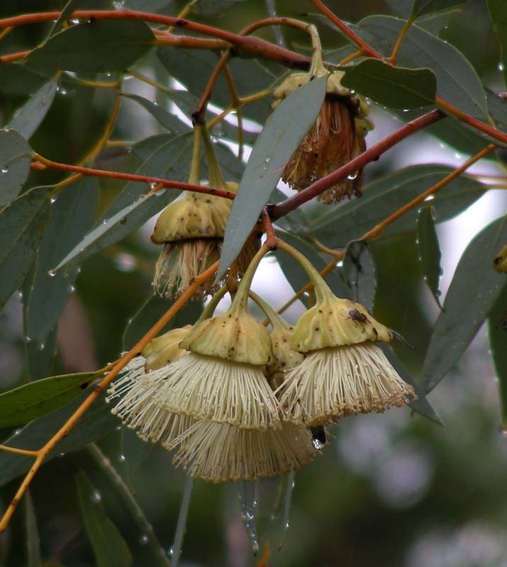
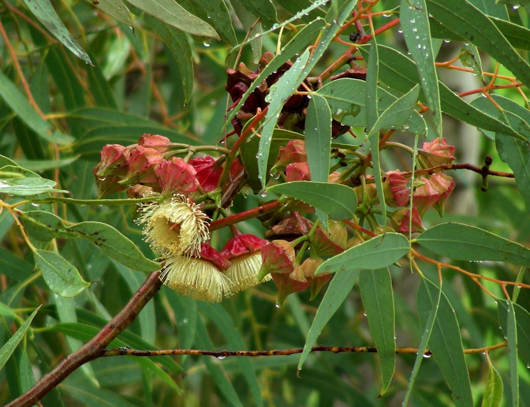
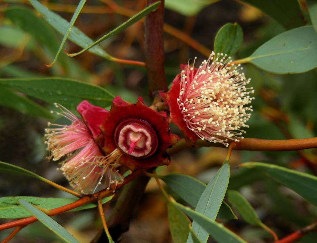
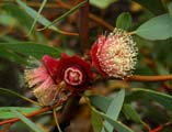
One of the survivors of that area is the "Silver Princess" (Eucalyptus
caesia subspecies caesia), with its pale silver-white bark and its pink flowers,
one of Australia's favourite trees.
"The Humps" is
bordered by rock sheoaks (Allocasuarina huegeliana).
Their walnut-sized woody nuts are so rough that emus sometimes
eat them to help grind up the food in their stomachs!


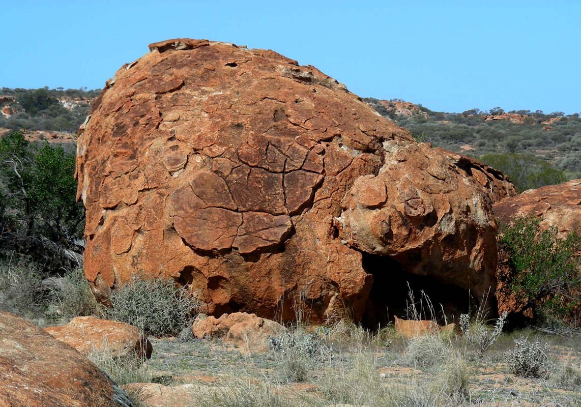
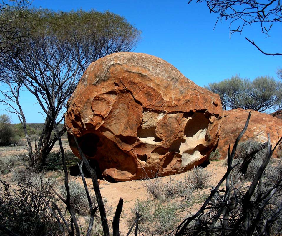
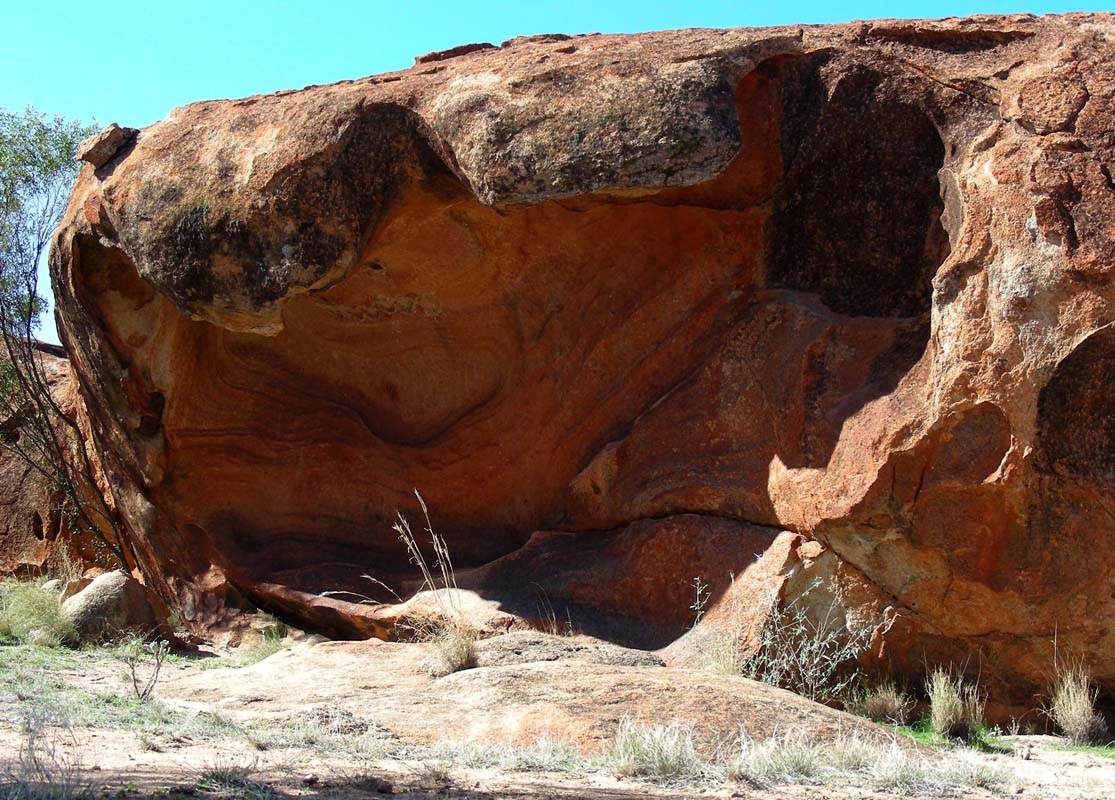
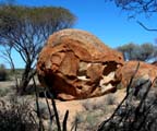
The sculptured rocks are mostly the product of wind and
water, with a little help from chemical reactions and microscopic
creatures.
A hollow or cavern (tafone) forms in the rock
and grows from the inside outwards. Eventually
the outer rock shell is breached, leaving this "windows".
They can reach metres in diameter. "Mulka's
Cave" is also an example of a tafone on a giant
scale.
On the way down we pas a dam and read about the unwelcome
help in fostering an invasion of weeds the deliver ....
Plants such as rat's tail fescue (Vulpia myuros - a Eurasian species that grows
to 20 cm), three-leaved subterranean clover (Trifolium subterrruneum - from Asia
and the Mediterranean), blowfly or quaking grass (Briza maxima - also from the
Mediterranean) and a daisy from South Africa with yellow to reddish flowers (Ursinia
anthemoides) have all moved in.
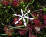
Nonetheless, a hardy collection of natives stand their ground, including triggerplants,
local grasses, tiny daisies and geophytes (plants with underground tubers) like
the elbow orchid (Spiculaea ciliata) and early Nancy (Wurmbea graniticola).
Sadly, on battlegrounds such as this the native species are rarely the winners.
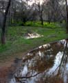  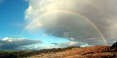
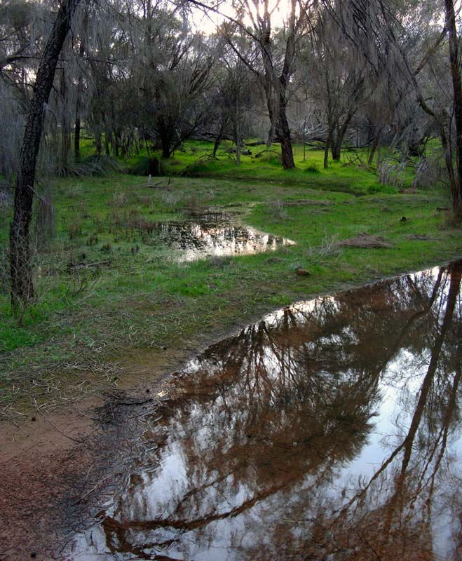
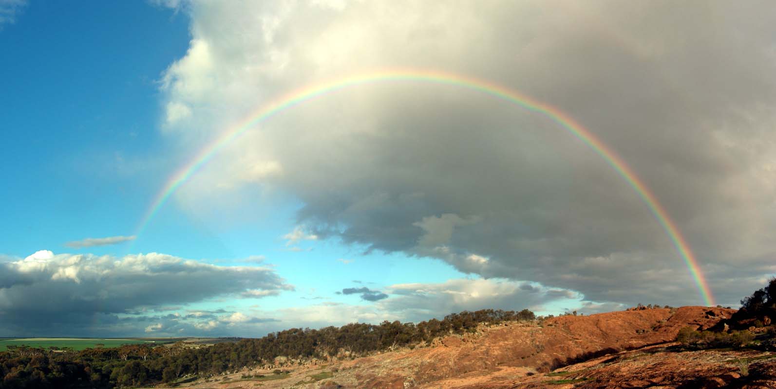
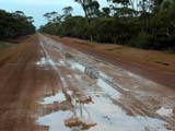
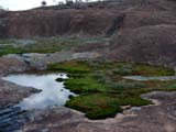
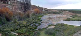
The recent rains have left puddles of water everywhere and
the animals love it ... and the rainbow is stunning!
We head back to the farm and have a very interesting evening
with discussion about God and the world.
After a cold night with only 6.9°C we wake up to beautiful
warm sunshine.
Garry has taken the opportunity and is already at the other property spraying
the crops.
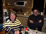
As we pack up Wendy keeps spoiling us.
Thanks Garry and Wendy!
We had a great time at your place.
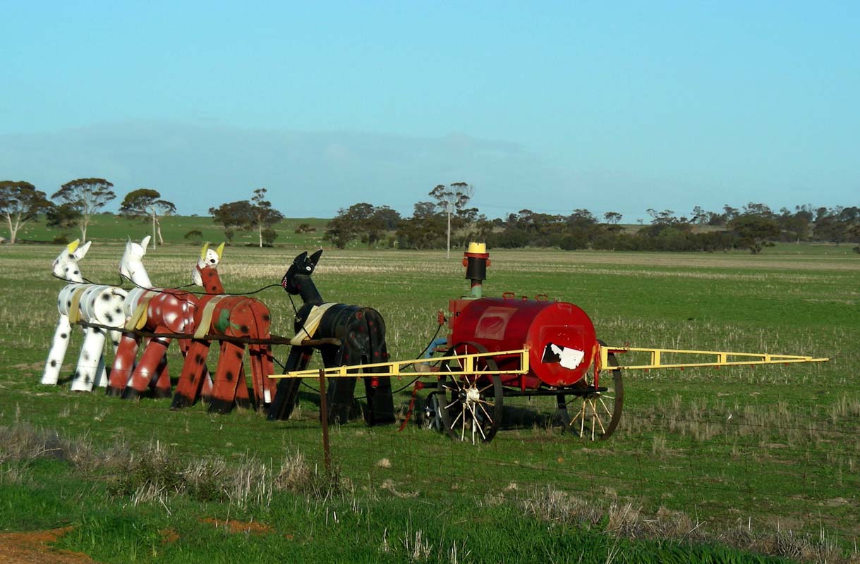
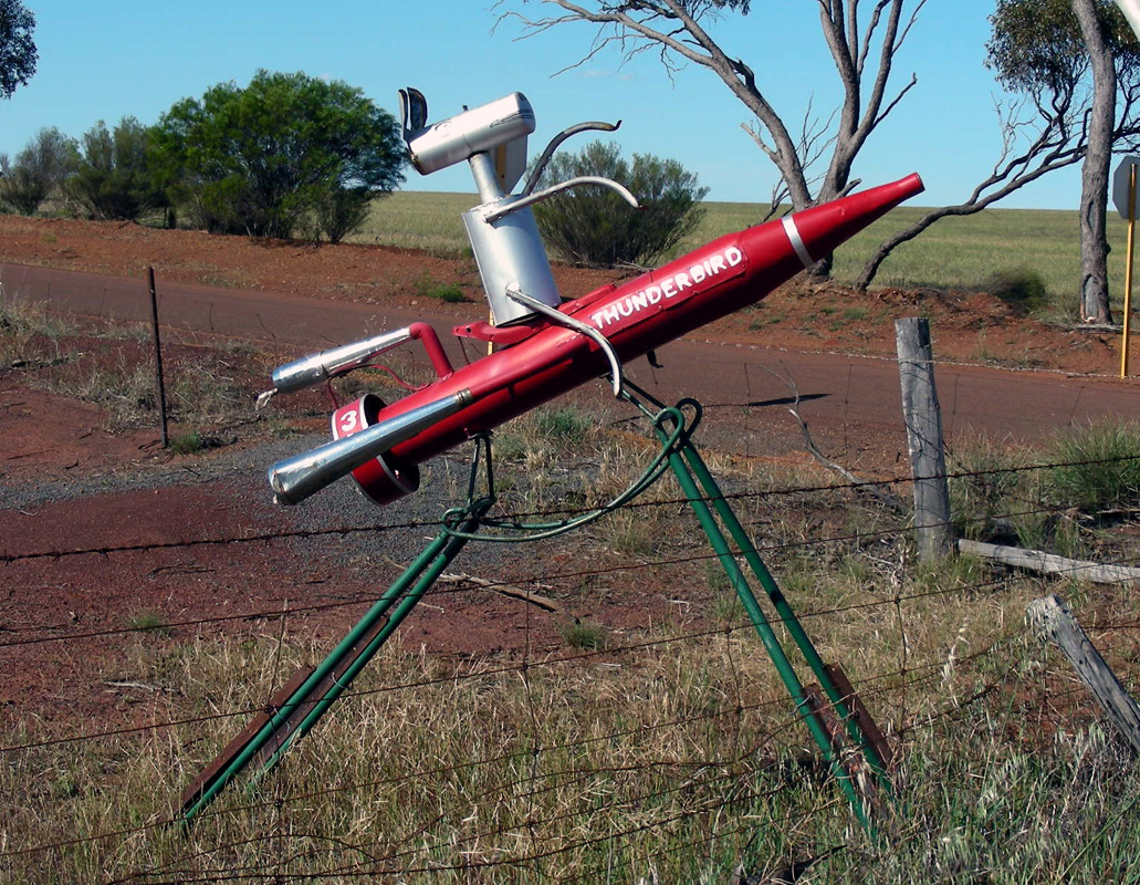
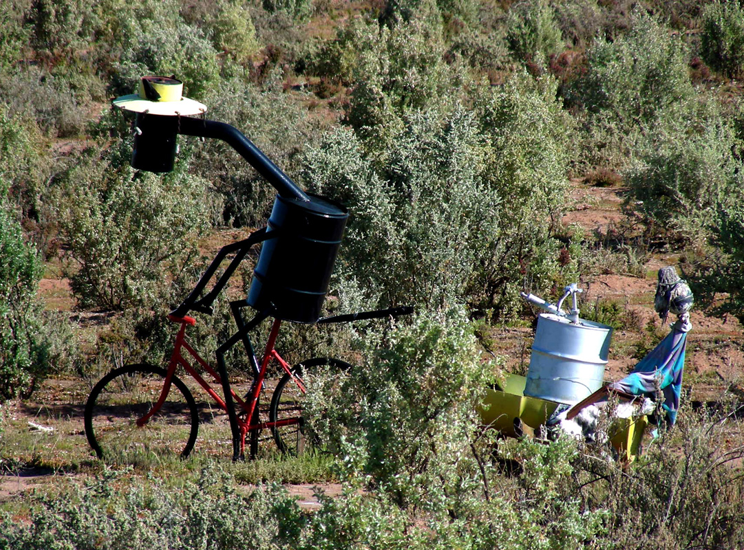
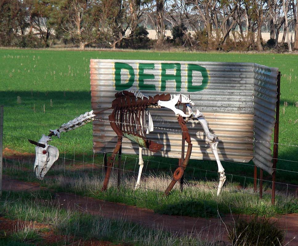
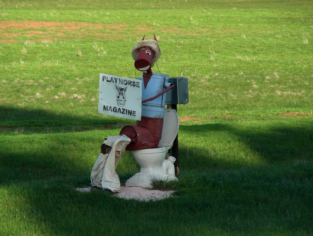
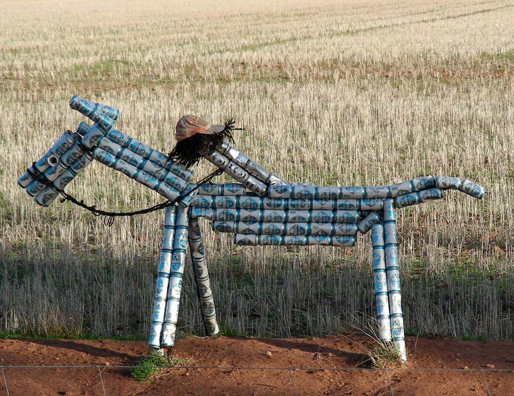
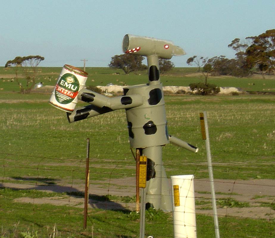
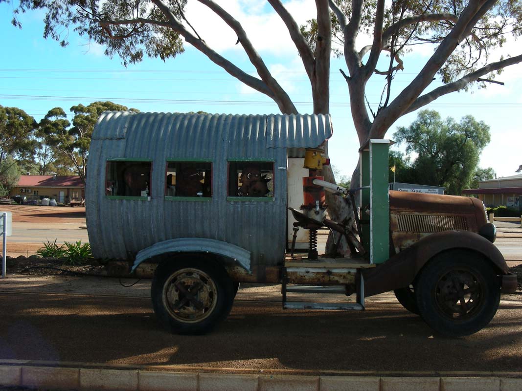
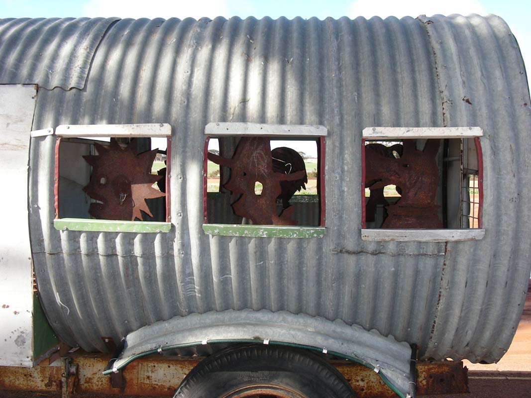
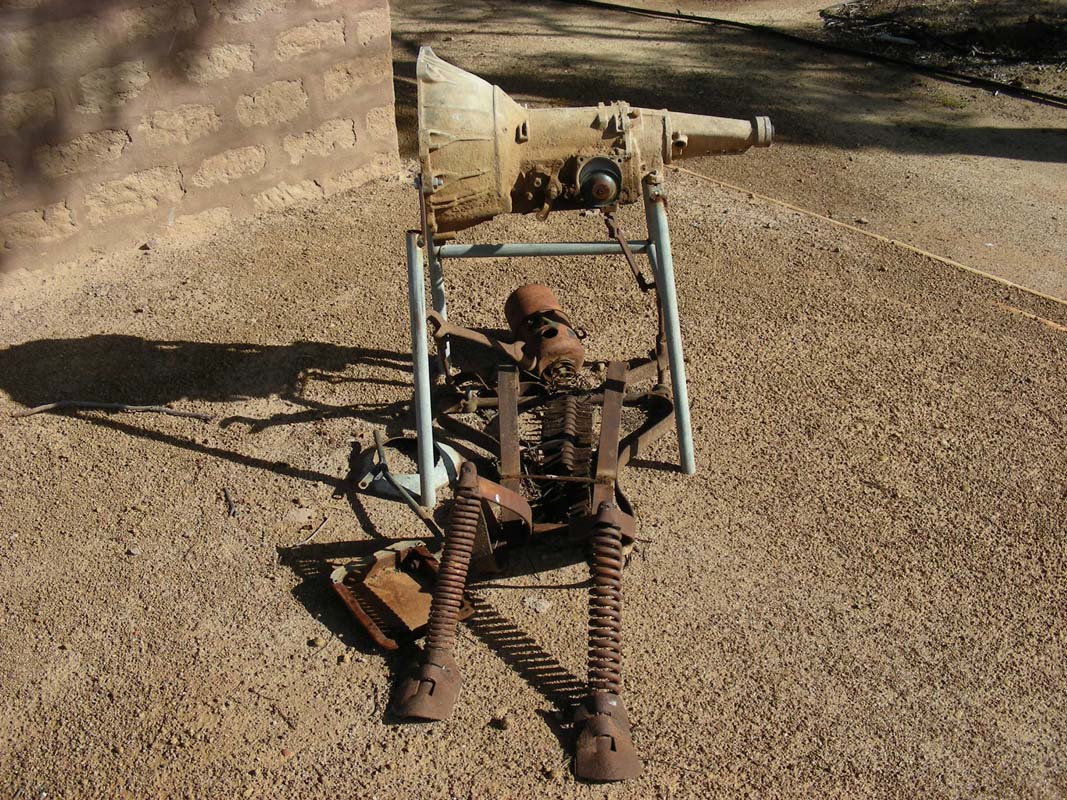
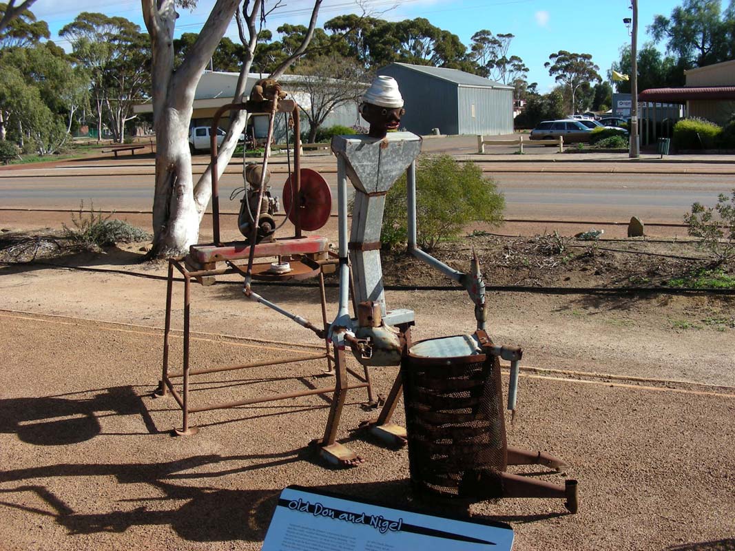
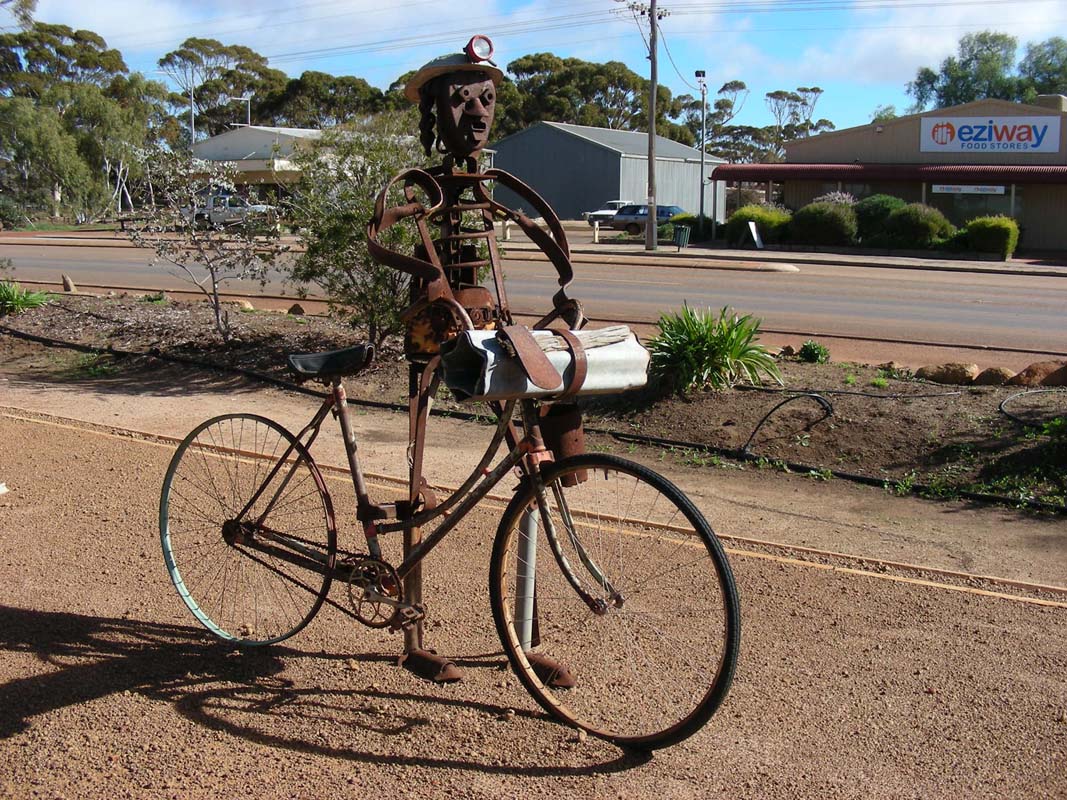
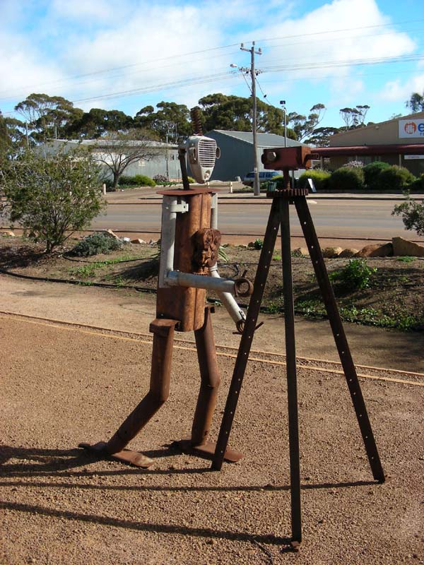
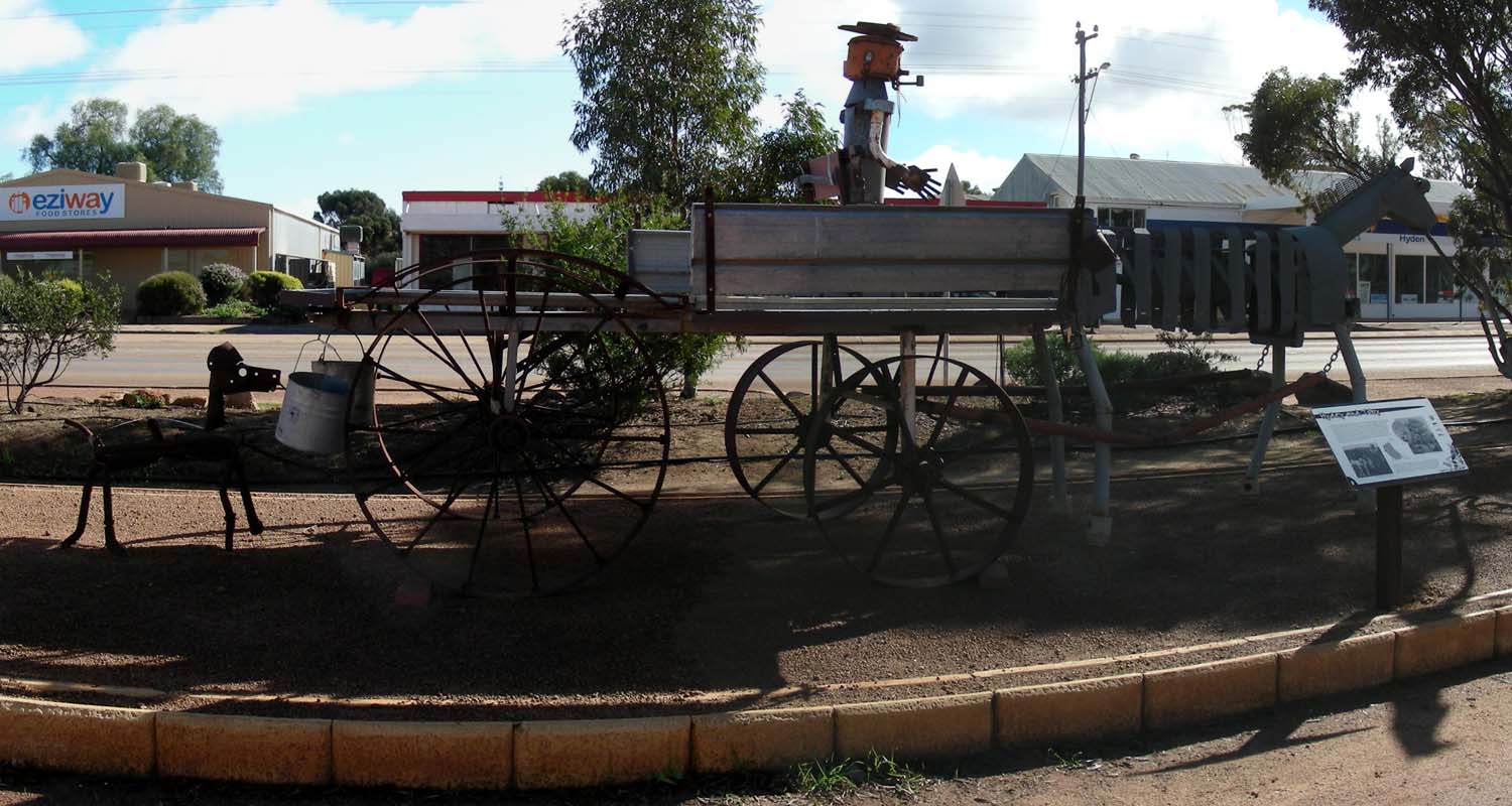
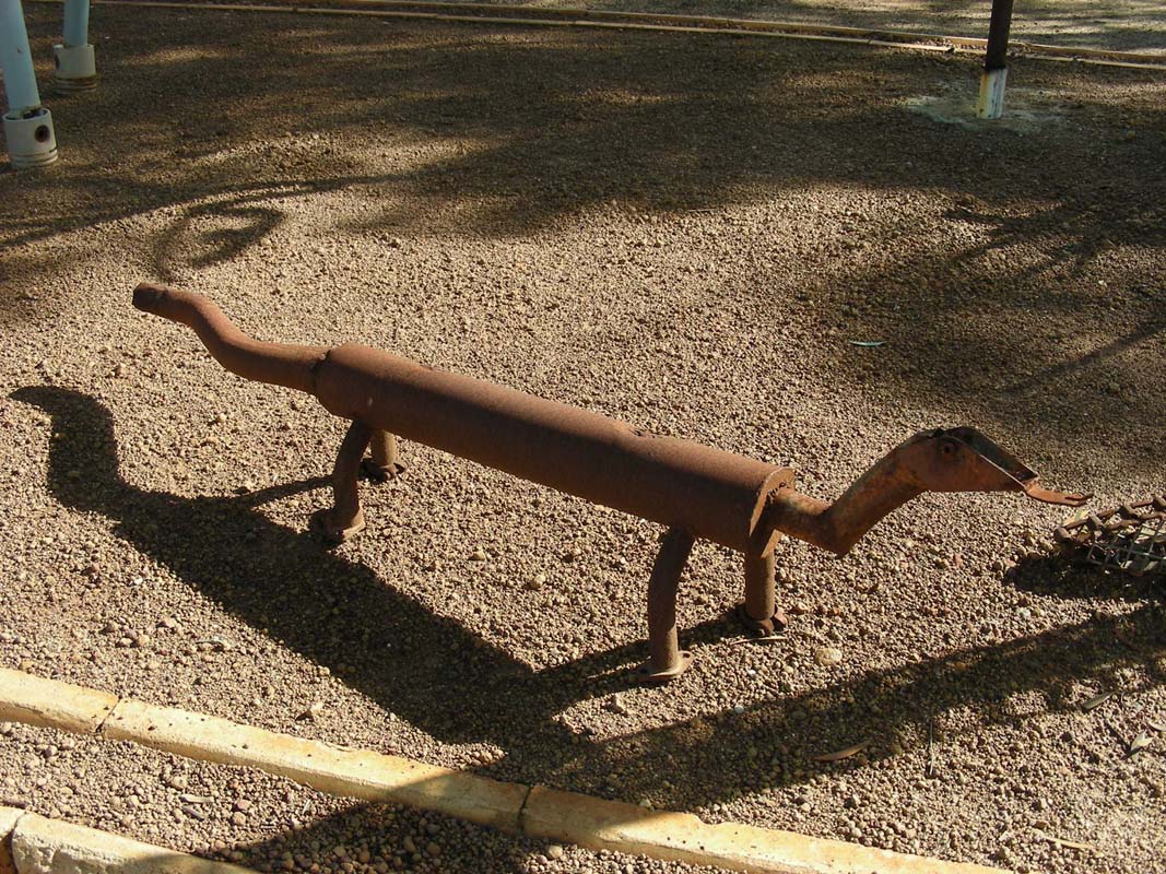
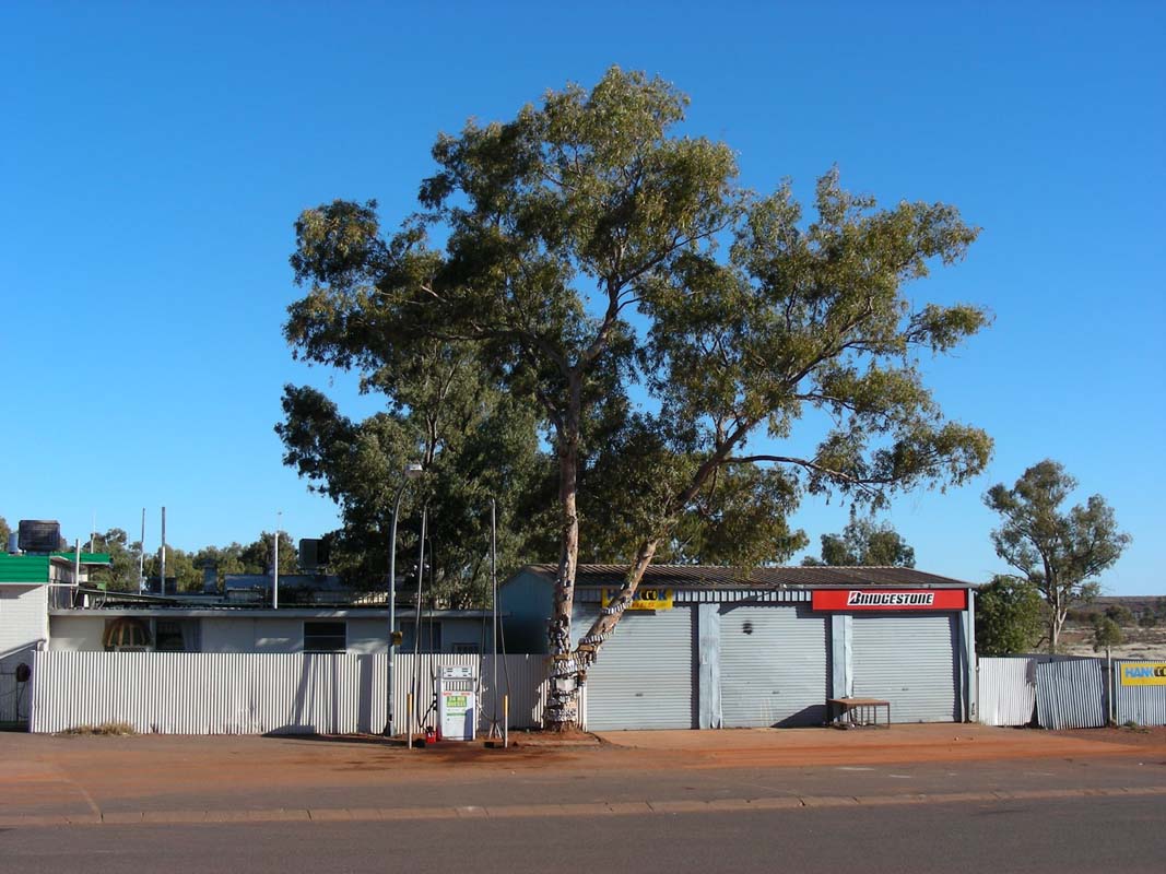
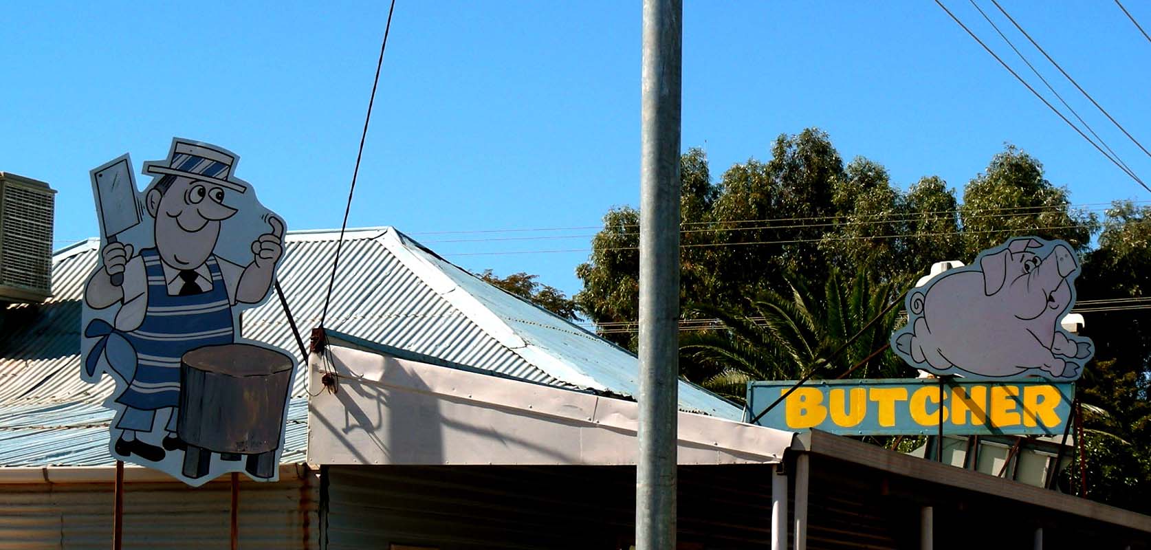
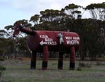
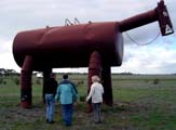
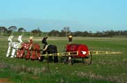
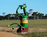
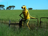
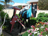
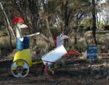
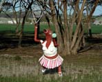
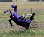
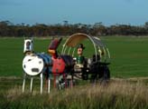
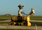
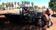
We head into town for shopping and find this mob …
 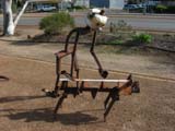 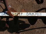   
... the horse even has "intestines" ....
Then its time to hit the Hyden – Norseman
Road.
This time we will take our time and have a look at all the signs and attractions.
We pass the State Barrier Fence and find
out what this fence was built for.
For
details about the fence and its reason
please click here.
We had seen similar fences in Coober Pedy (
dog
fence
) and also in Roxby Downs (
Arid
Recovery Project
) earlier in the year.
Soon after we also pass the turn-off into the Holland Track.
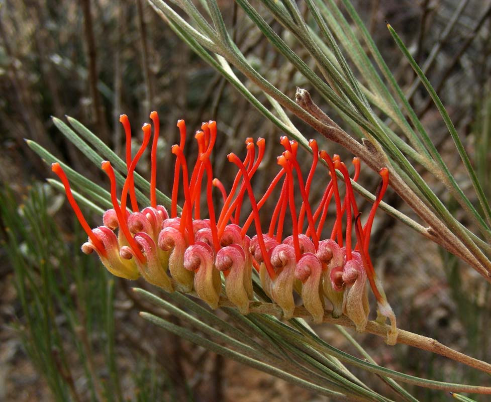
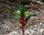
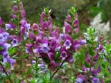
The few flowers that are already out wake memories of last
year's beautiful trip
along the Holland Track into the spring flowers
.
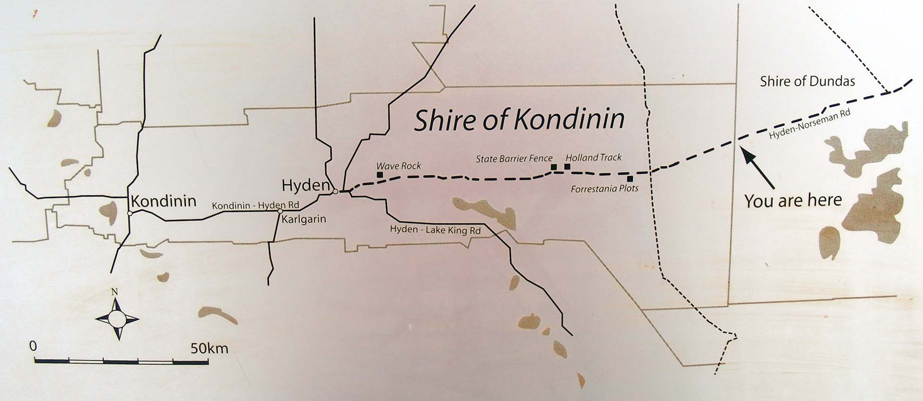
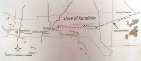
Then we reach the shire boundary.
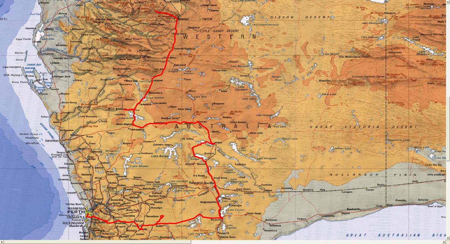
Just a bit of statistics ....
|
|
|
Size:
Measuring just 40 km from north to south, but more
than 200 km from the eastern to the western boundary,
the Shire of Kondinin in the West Australian context
is of medium size, covering 7'340 square kilometres.
|
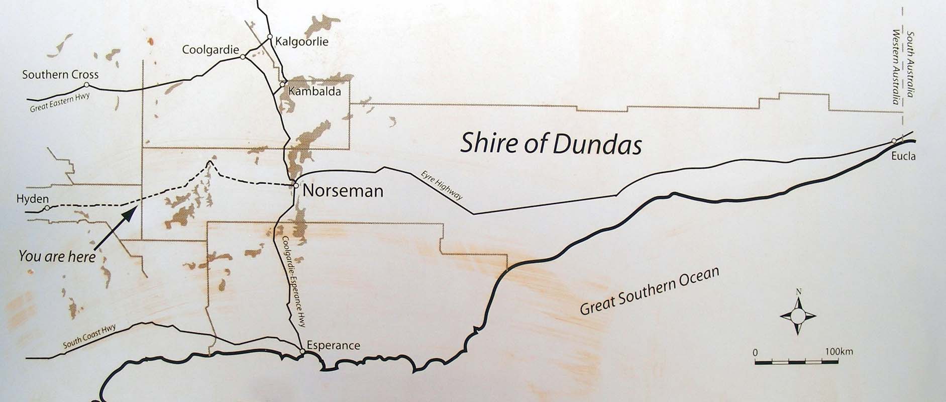
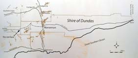
Size:
Stretching more than 900 kilometres eastward
to Eucla near the South Australian border, the Shire
of Dundas covers a massive 92'725 square kilometres
- more than ten times the area of the Shire of Kondinin.
|
|
Population:
The population of the Shire is approximately 1'200,
split between farming properties, some mining camps
and the three towns in the Shire - Hyden, Karlgarin
and Kondinin.
|
Population:
Yet so much of the Dundas Shire remains 'wilderness'
that the population is similar to its western neighbour
- around 1'200 people.
|
This nicely shows that we are really heading in direction
of the famous "Outback" ... where there is a lot
of space and no people, just a lot of "nothing"
.
This also means that we are heading
into areas, where we will have to be a bit more careful with
what we do
There won't be too many cars and people coming past to help
should we have a problem.
[This week , as we write this diary
(end of September), 3 Australians went missing in
exactly this area. They didn't return from a 4 hour trip. A search
operation using airplanes and cars were started and they
were found 3 days later - totally dehydrated but alive.
They
had just 2 punctures and a leaking radiator ...
Reason: Bad
preparation.
Costs: "mere" 100'000 AUD.]
It is not easy to understand
what the Outback really means with regards to precautions
you should take e.g.
always carrying water, wearing
proper shoes (even if it is hot ... thongs and sandals are
not really the shoes you should wear in the bush ...) etc.
You have to run into problems first (or realise that you
have just been very lucky and things could have gone terribly
wrong) before you actually start acting accordingly.
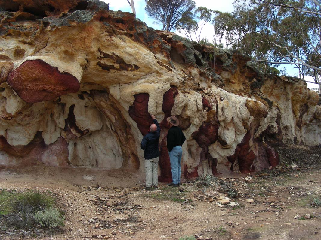
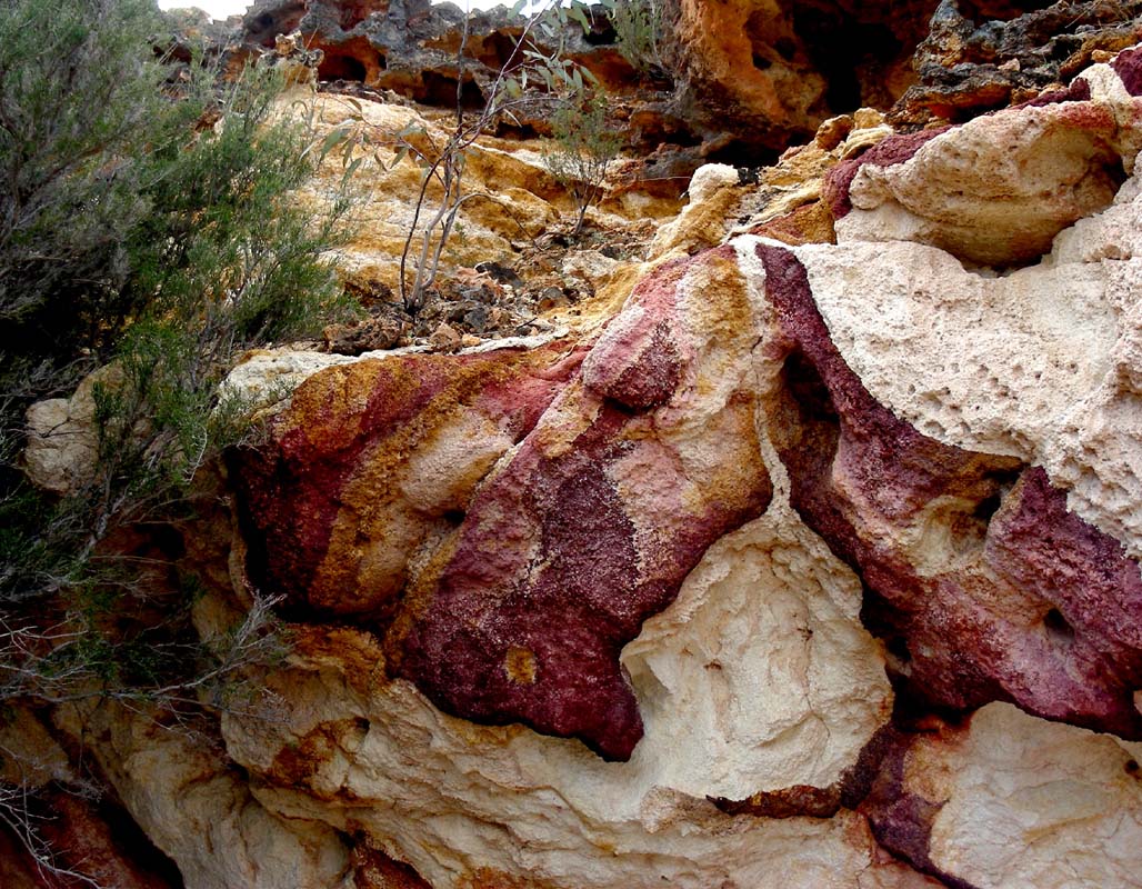
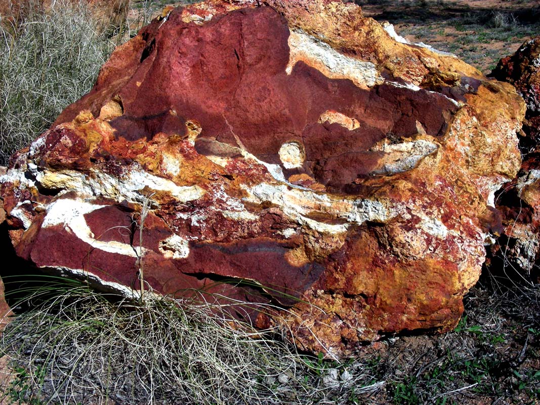
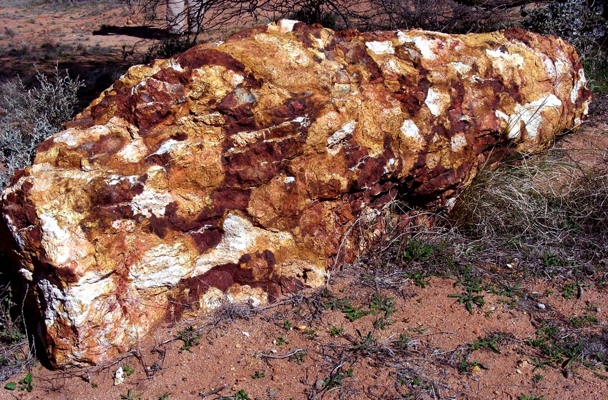
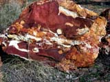
Then we find "The Breakaways".
We are impressed about the colours of the different rocks.
Breakaways, those hard capped and colourful
cliffs, are one
of the oldest geological regions on earth (Yilgarn Block).
Soil types of any softness have gradually eroded through
the ceaseless action of wind and water.
Only those areas with a hard laterite (ironstone / granite)
top have resisted this grinding and reshaping.
Where the crust of these laterite layers has crumbled the
hard top remains to form a 'mesa' while the continuing erosion
of the surrounding softer soil and rock forms a steep "breakaway"
The magnificent colours so often seen in these cliffs are
a consequence of varying soil types, with lateritic types
giving the rusty reds and shales and sandstones the softer
yellows and whites.
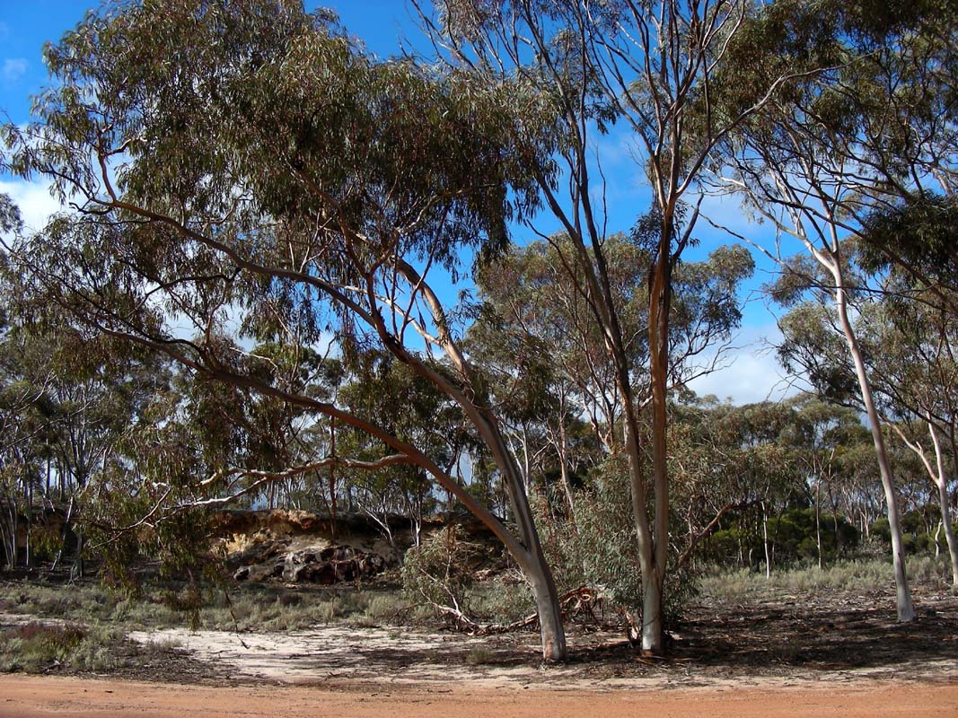
Here we can also see the "bark stripping" that occurs in
a number of woodland eucalypts or ribbon gums.
In late spring, summer or early autumn long trailing streamers
of bark are gracefully dangling down from the trees being
the eucalypti's annual bark replacement.
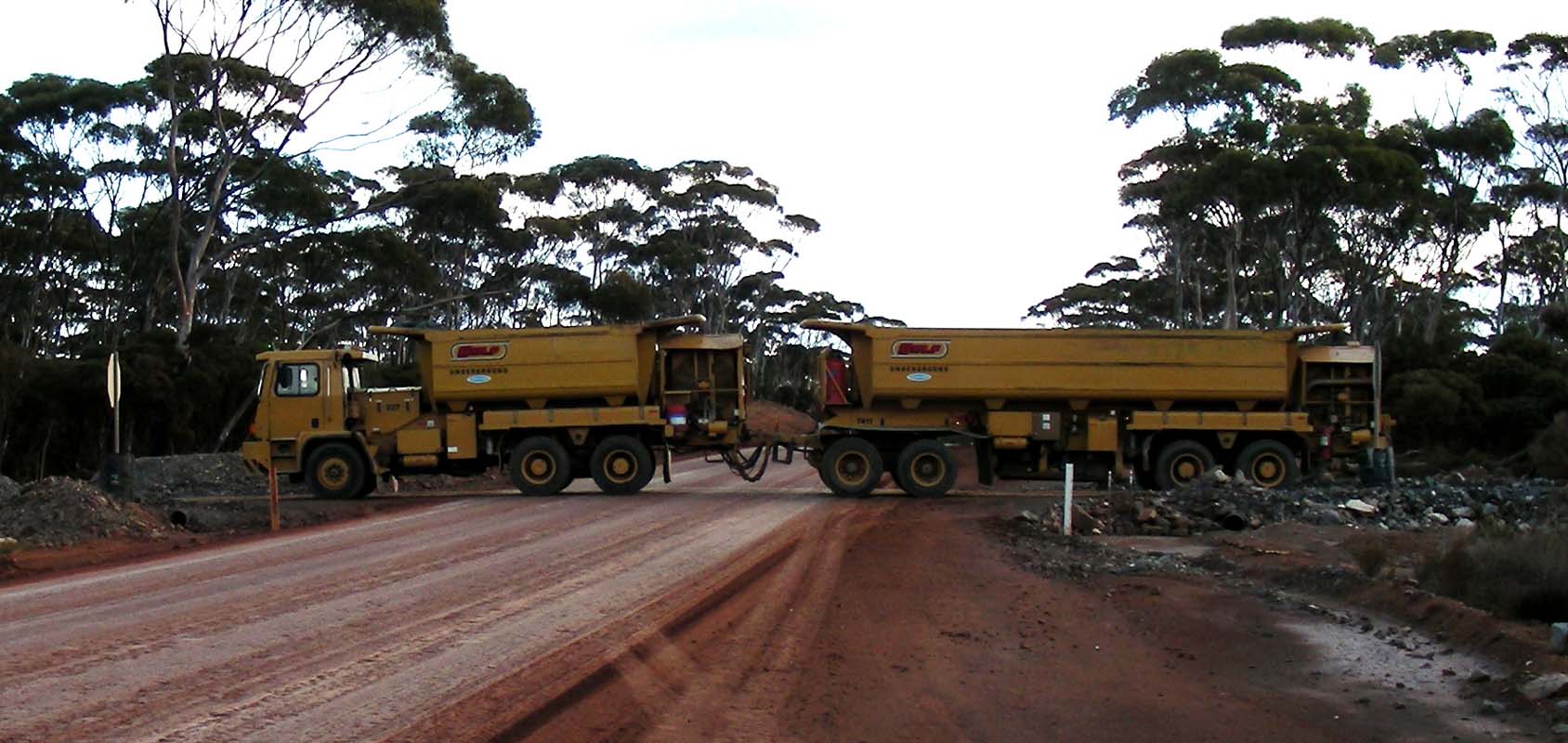
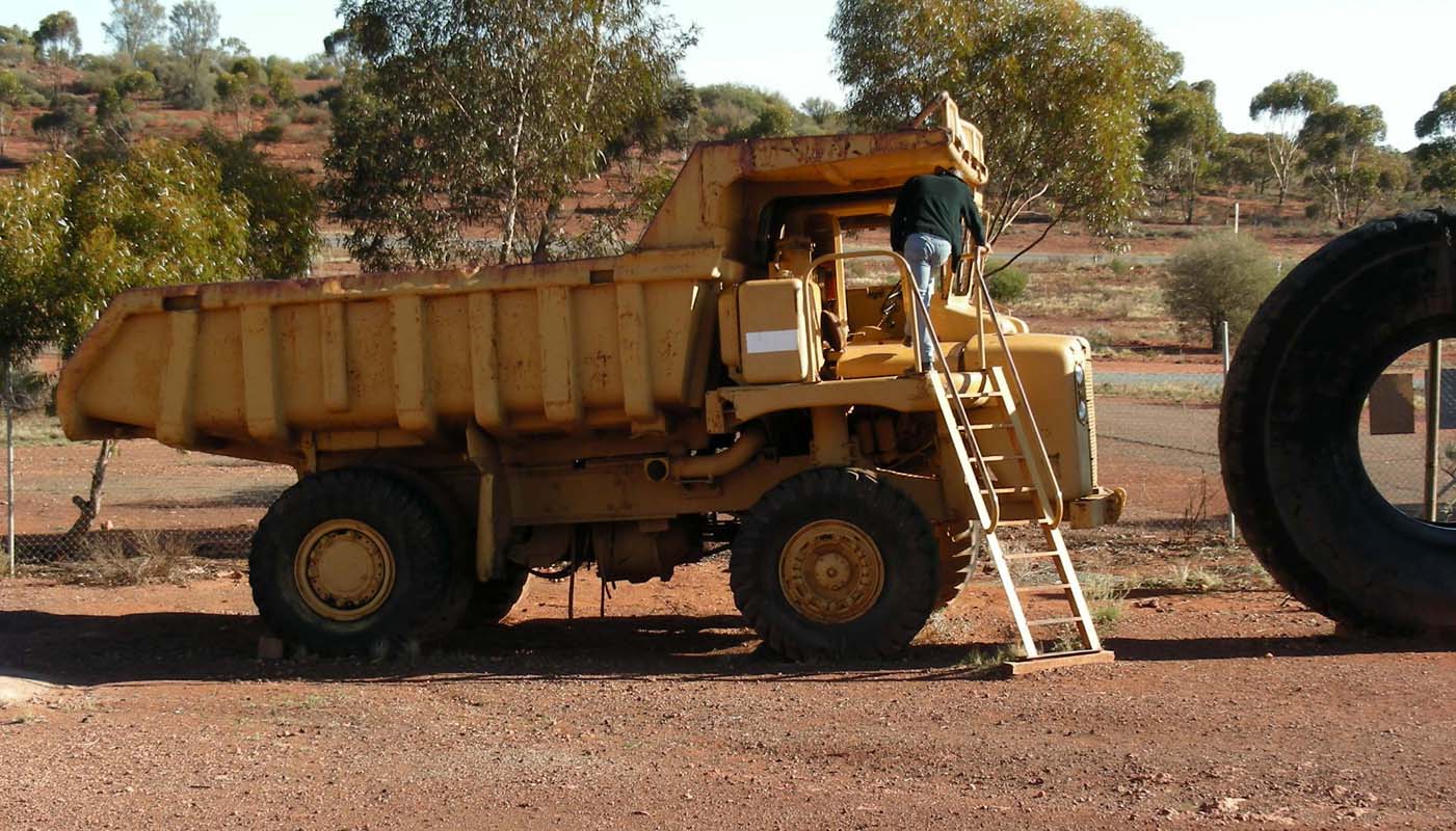
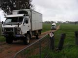
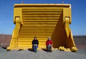
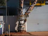
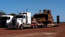
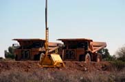
We reach the first mines and stop for lunch at the crossing
of the Forrestania Southern Cross Road, wondering what kind
of vehicles cross here ...
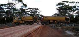
The truck seems to consist of two parts, each equipped with
its own engine.
We also learn a lot about the Lake Johnston
Nickel Mine Operations.
For details please click here.
But time is pressing, we want to be in Norseman before dark.
So there is no time left to investigate any other of the
attractions along the track.
We roll into Norseman with the last light
of the day and have a quiet night at the caravan park.
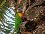
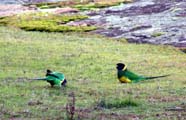
Friday morning is cold but sunny.
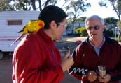
A camper takes his parrot for a walk and stops for a talk
...
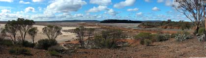

As it was already to dark last evening we head back out
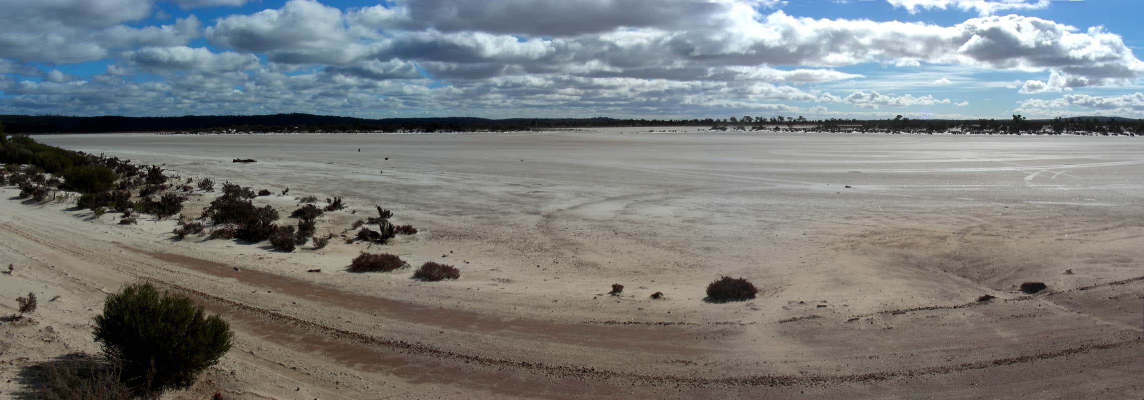
to Lake Cowan for some photos.
For details about
what kind of life salt lakes like Lake Cowan can support
please
click here
.
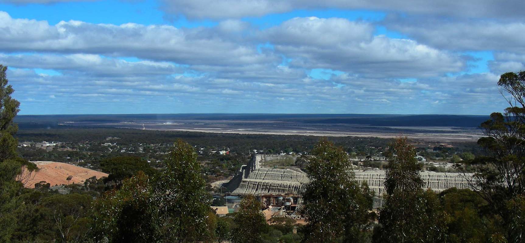
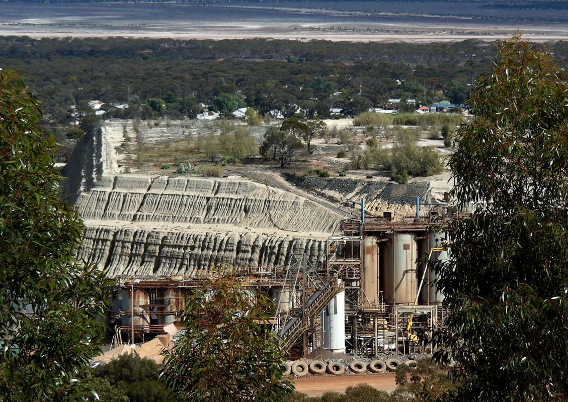
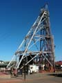
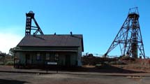
Next stop is at the Bacon Hill Lookout.
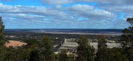
The old parts of the mine are well visible, the new parts
are underground.
For some history of Norseman and how it
all began
please
click here.
Time goes past fast and already it is time to leave and
to drive to Kalgoorlie, where we stay in
the bush for the night.
After another cold night with 5.6°C the sun wakes us
up.
The second battery in Roger's camper has given up on the
corrugation and needs to be replaced so we head into town.
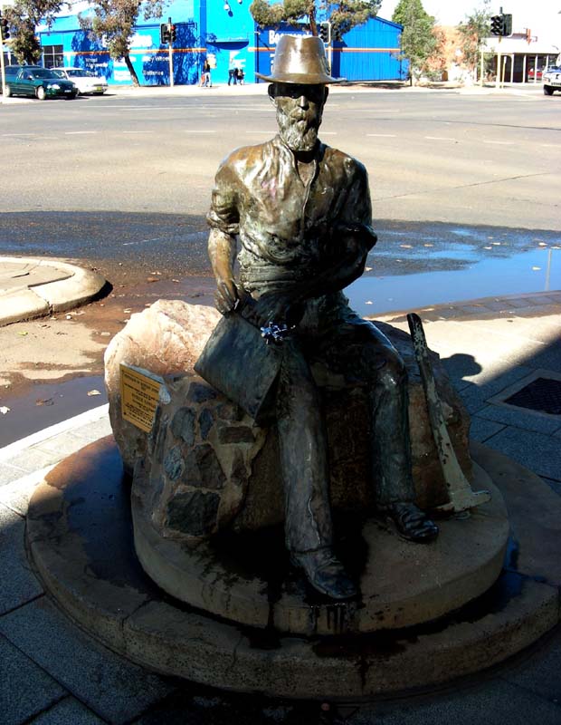
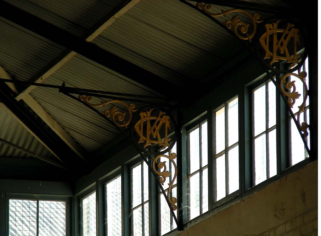
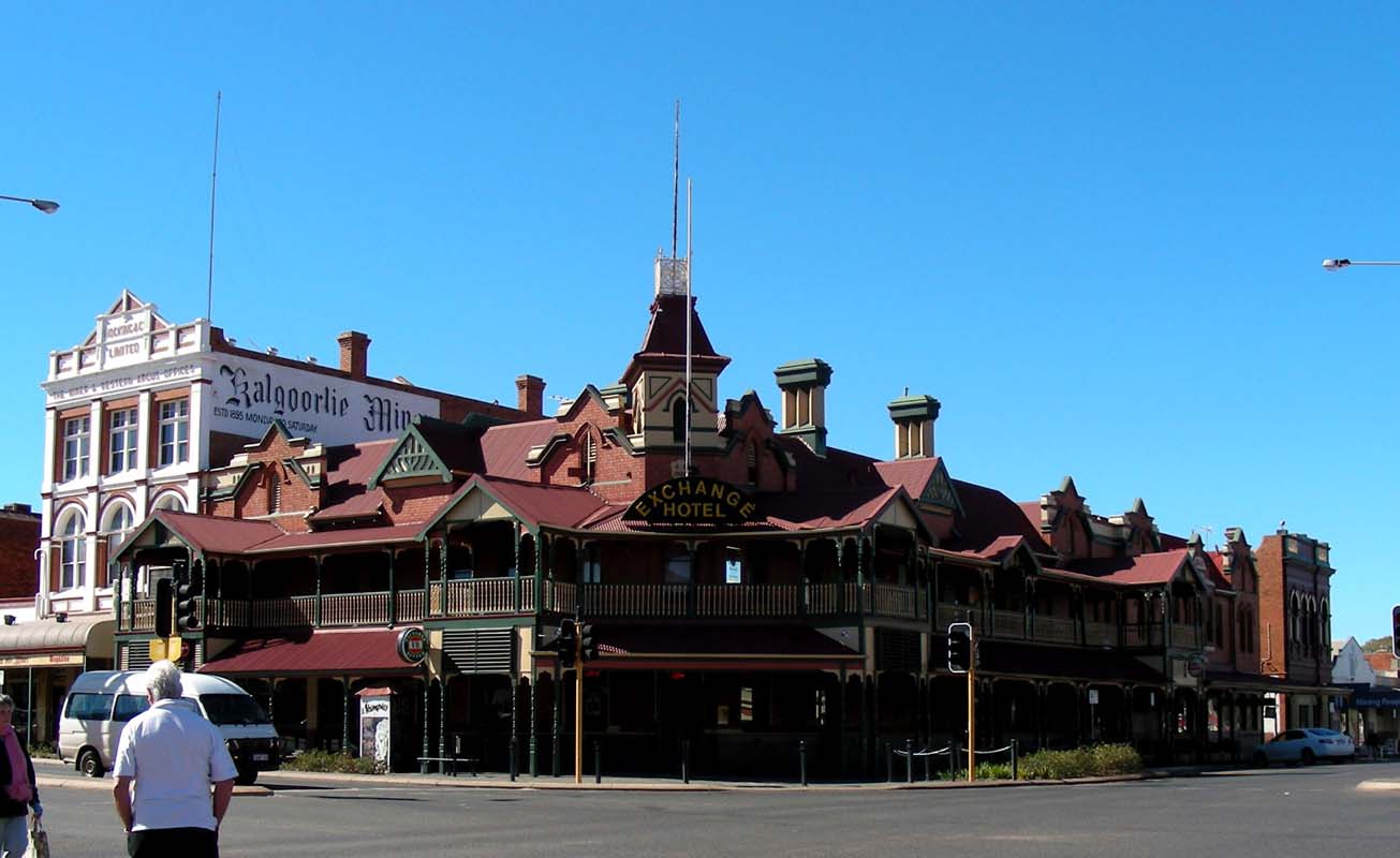
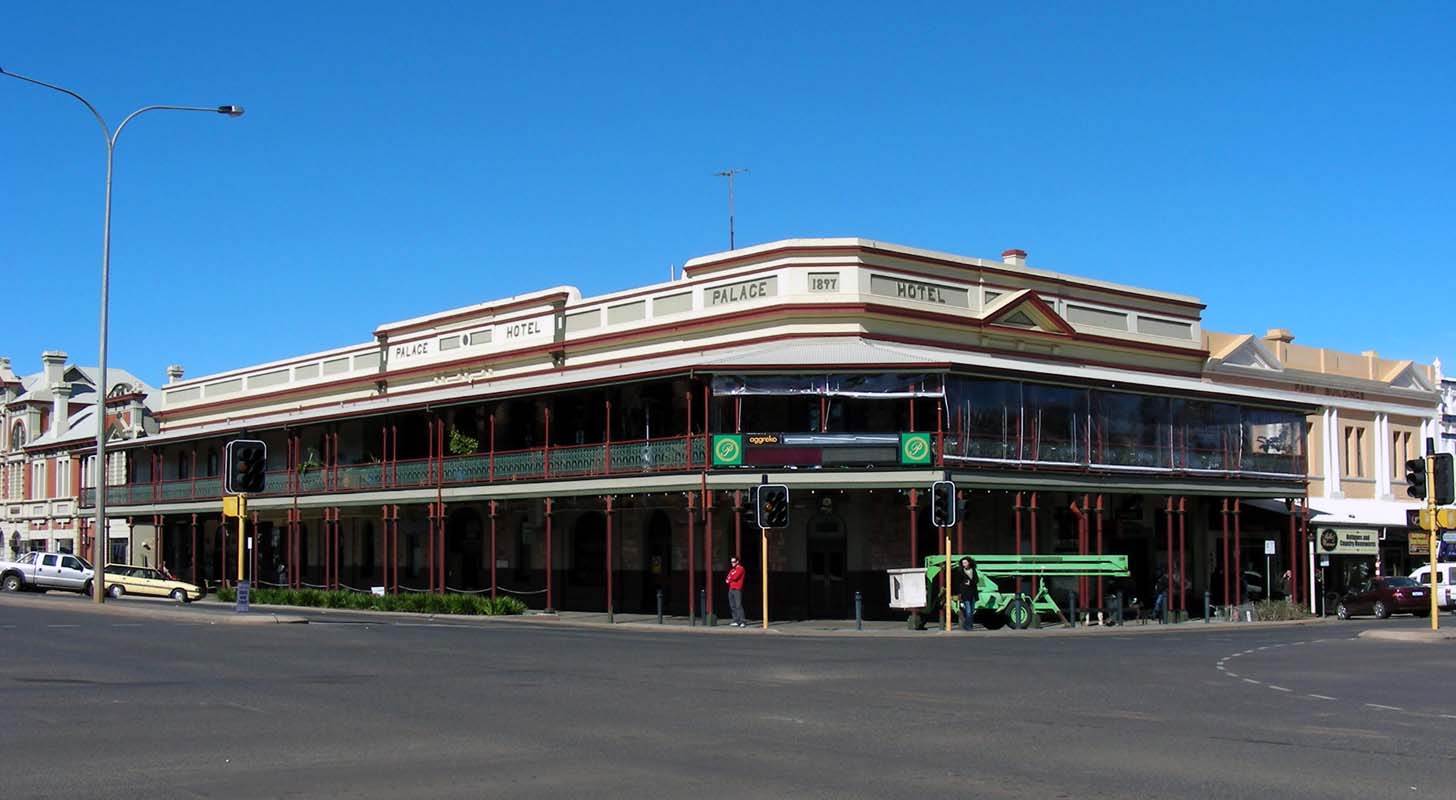
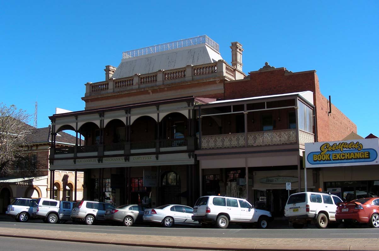
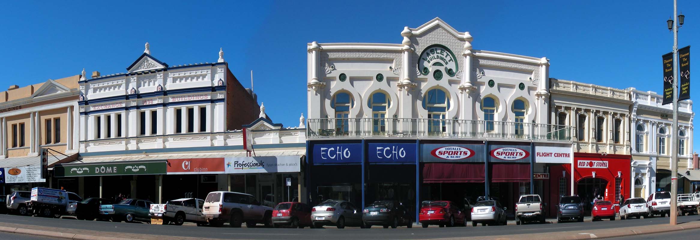
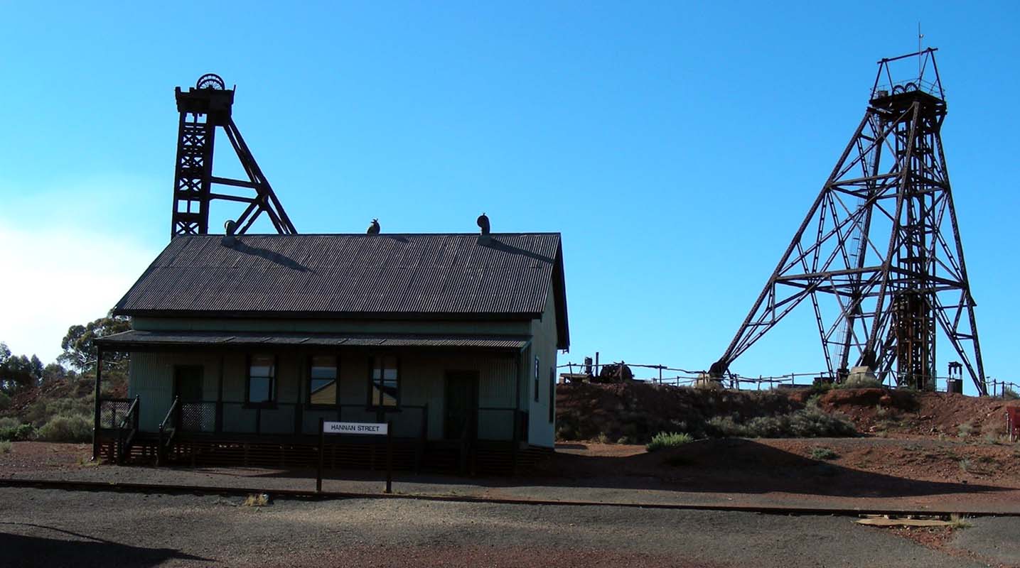
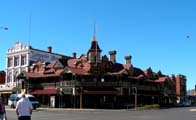
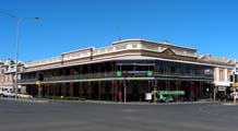
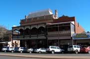
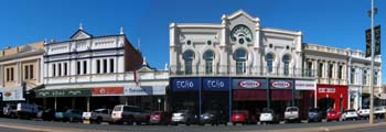
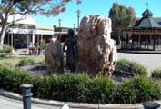
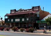
Kalgoorlie is a pretty little town.
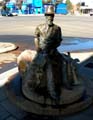

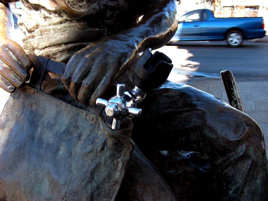
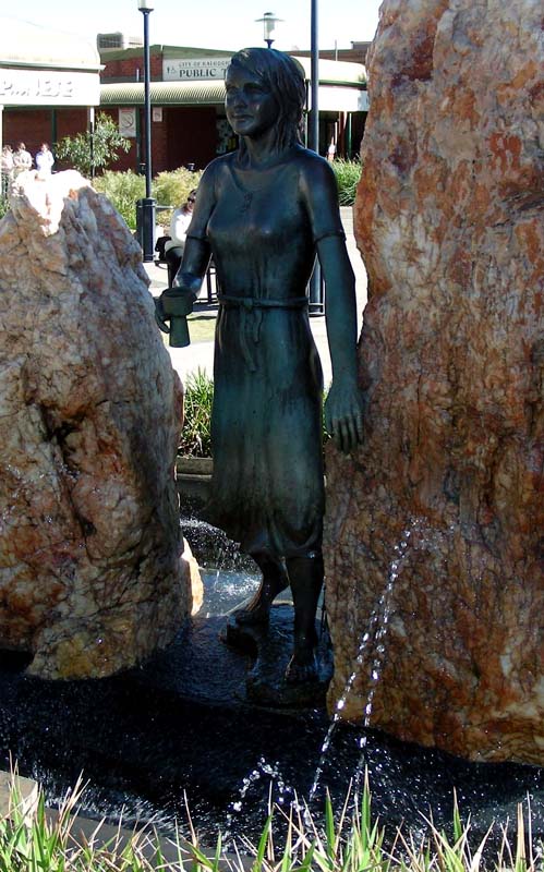
A fountain in the middle of town remembers Paddy Hannan.
His water bag actually works!
When in June 1893 Paddy Hannan found gold and registered
his claim within days an estimated 700 men had joined him
and were prospecting in the area.
By 1897 the population had grown so fast that two towns had
been established, Kalgoorlie and Boulder.
There was so much wealth generated that by 1910 the cities
had fresh water (being brought by pipeline from the Mundaring
Weir some 500 km east), electricity, gracious buildings,
a tramline running on Hannan Street and every possible comfort
hardworking men could wish for.
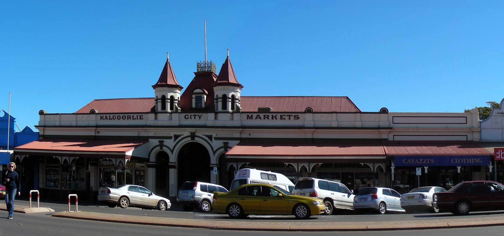
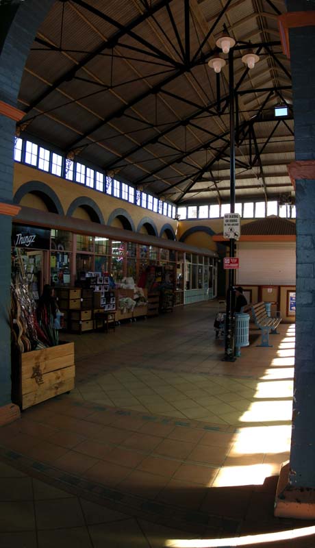
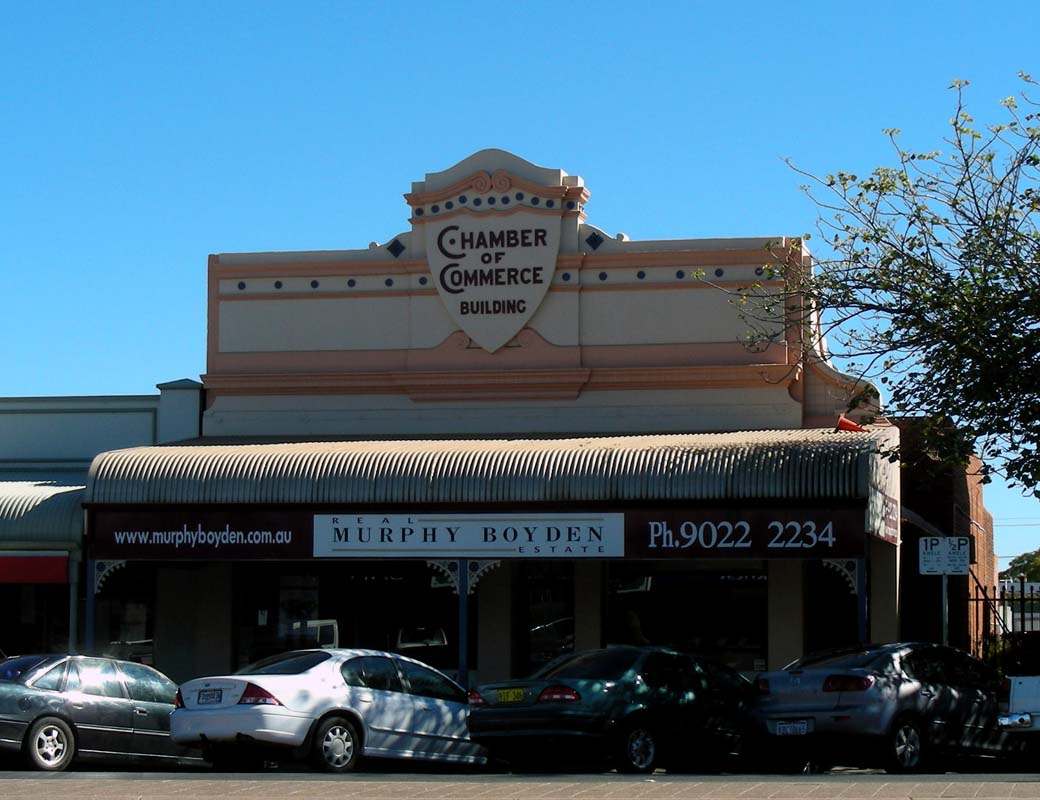
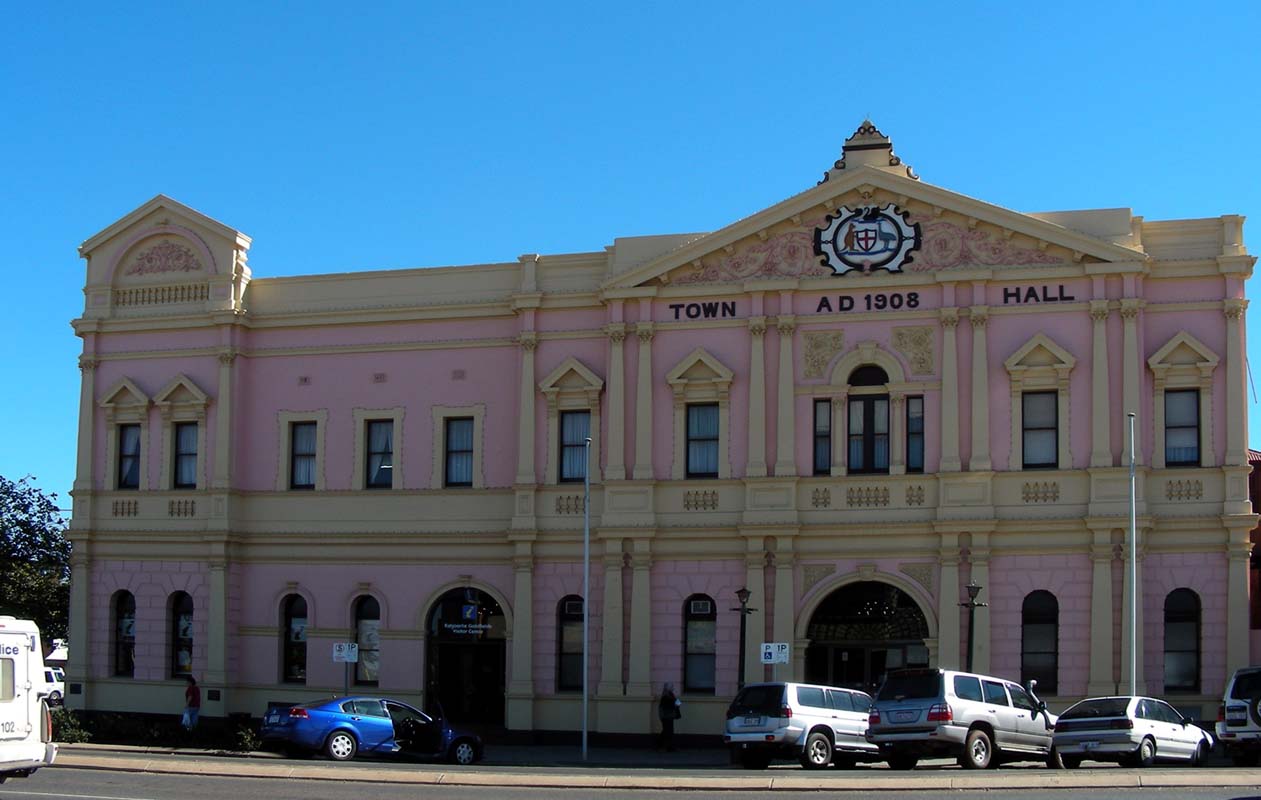
Many of the original buildings still exist and have bee
restored nicely ...
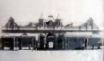
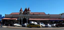
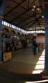

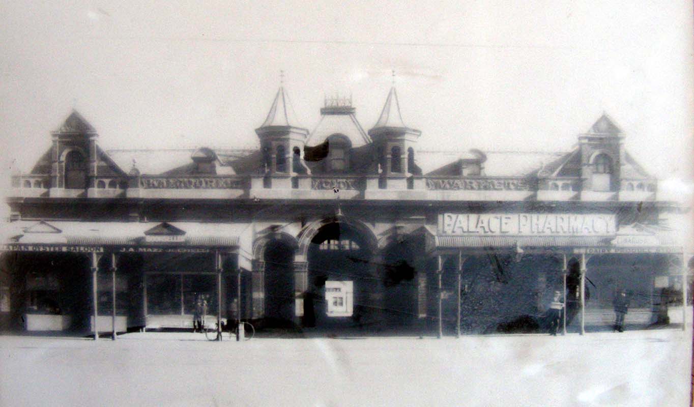
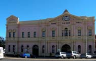
... the City Markets ...
A number of squatters had set up small businesses in
the place were the City Markets stand today.
Any attempts by officials to remove them met with resistance.
Sir John Forrest told the Council that if they could be removed,
then the land would be given to the municipality as an endowment.
With a "characteristic common to gold-mining communities
Council took the shortest way out of the difficulty and bought
out the squatters".

…
the hotels and shops …
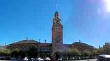
…
the Court House and Town Hall …
There is a fountain in honour of St. Barbara, the patron
saint of the miners.
St. Barbara was the Christian daughter of a heathen
noble man who had promised her hand in marriage to a non
Christian suitor.
She fled to hide in mines underground. The miners protected
her and in return she passed on her Christian teachings.
For two years she remained underground until shepherds informed
her father of her whereabouts.
Getting water she was captured sentenced to death and beheaded
by her father.
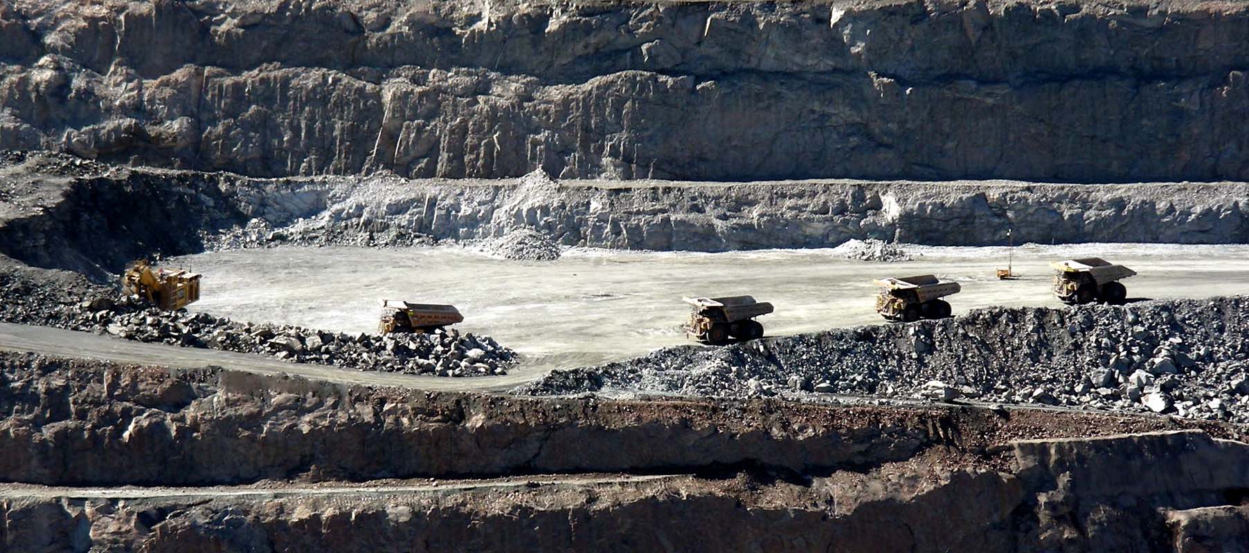
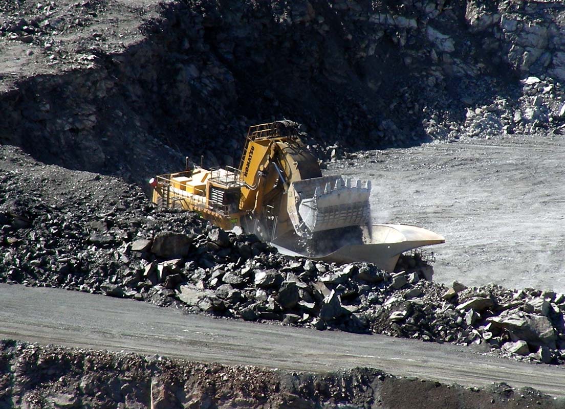
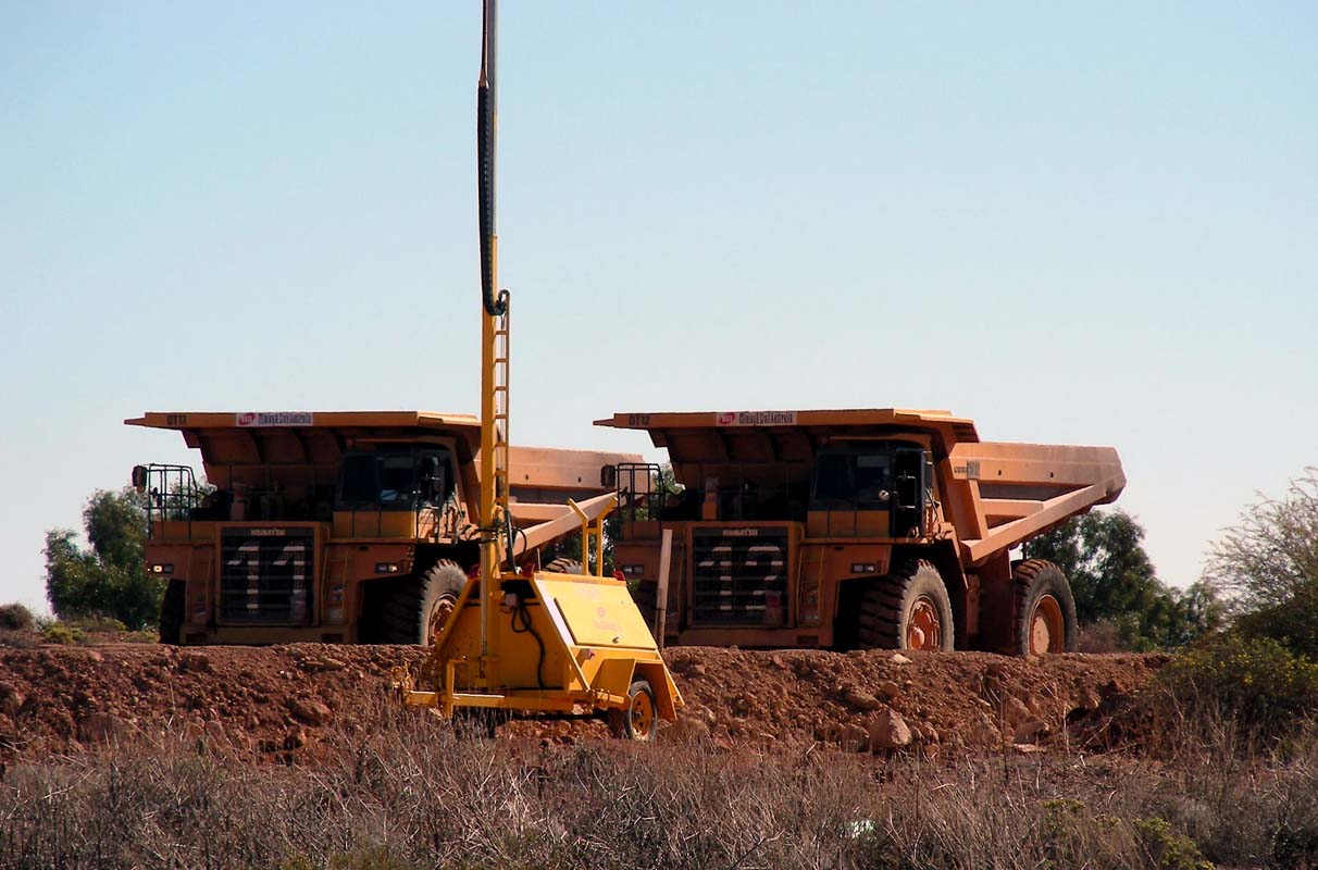
At the tourist information centre we find out that there
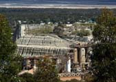
will be a blast at the Super Pit, the largest
open-cut gold mine in the world, at 1 PM.
So we head out there and have good look around.
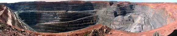
The pit is still very impressive, even if it is not the
first time we look down into it.
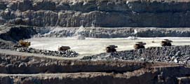
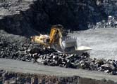
The fleet of machines they
use is pretty impressive in all aspects, not just its size
.... for photos and more details
please click
here
.
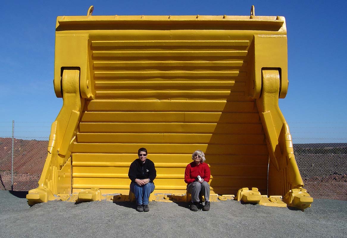
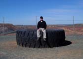
Here some more comparisons in size ...
It is almost 1 PM and we try to
find out, which area will be blasted, without success we
must admit.
The loud speakers start crackling and the blasting preparations
are broadcasted.
The tensions increase and then we hear boom,
boom, boom, and a light tremor can be felt.
Was that all?
Yes … the
blasting was done behind the corner and the only sign of
it is a slowly rising dust cloud … we
are a bit disappointed.
But had they had a large blast the visitor section would
have been evacuated anyway.
Next stop is the Miner's
Hall of Fame.
We arrive just in time
for the Gold Pouring demonstration.
We watch in awe as the
liquid gold is pored into the little mould ... only later
the guide tells us that is not gold … just a mixture
of copper and other minerals.
Considering the price of gold it is not surprising that they
don't pour real gold.
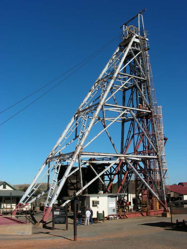
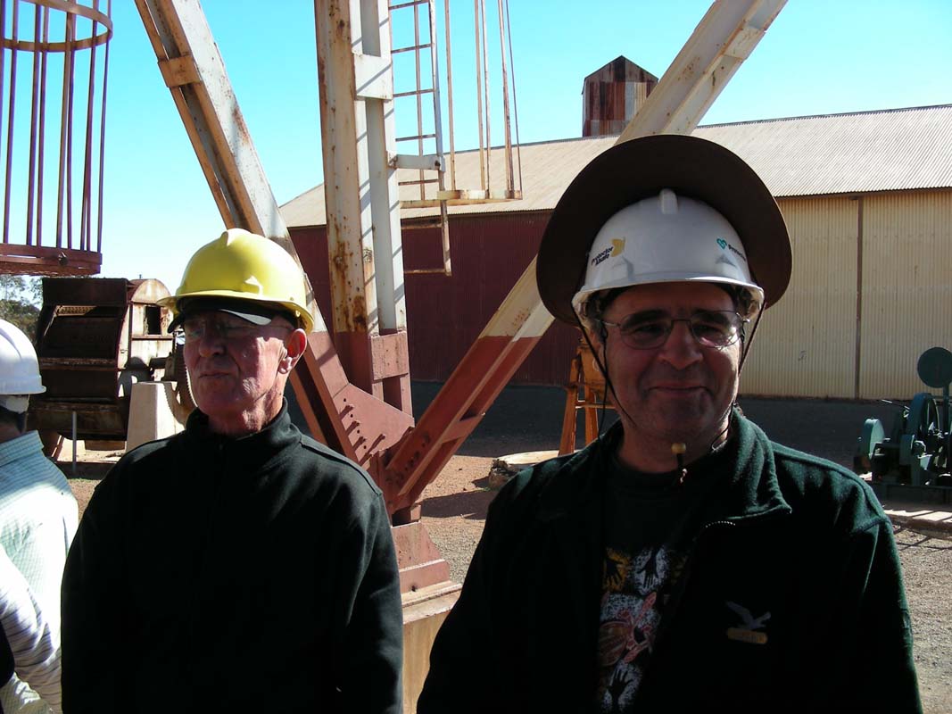
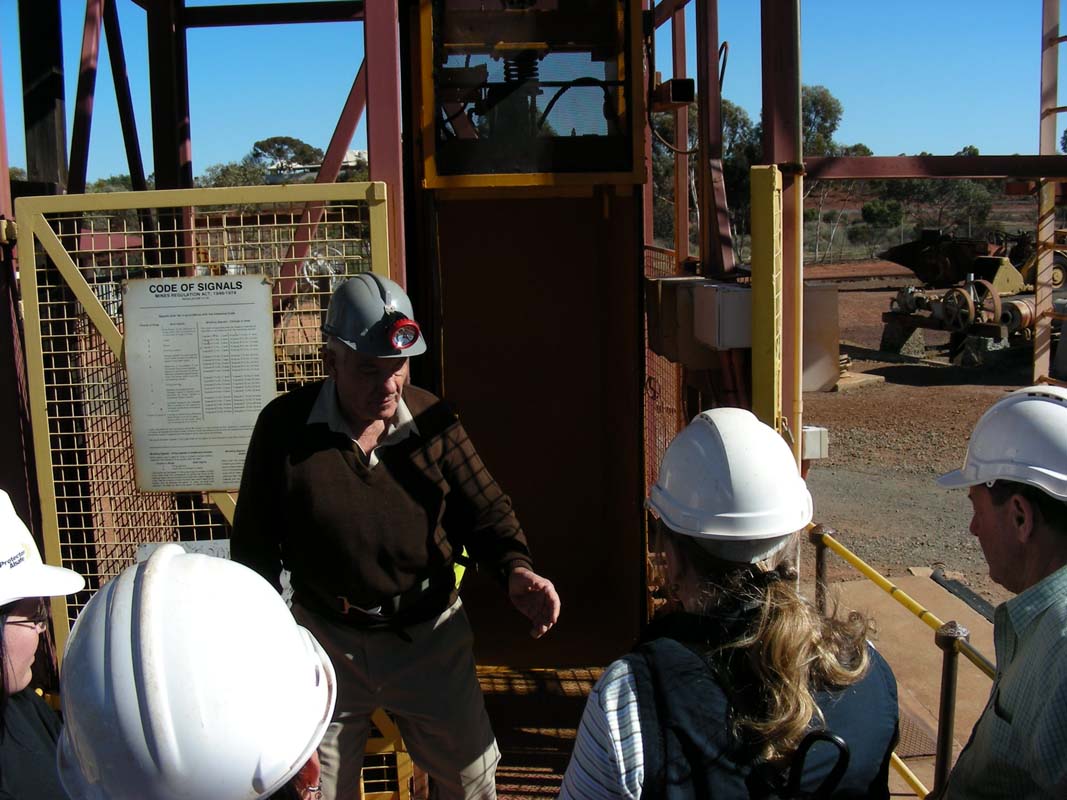
Then its time for the underground tour.

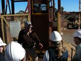
We fetch a hard hat and enter the small elevator that takes
us down 15 m underground into one of the original mines on
the "Golden
Mile".
The tour guide is a retired miner and shows us the different
tools they used for the job.
His comment is "The money was good but the job was horrible."
For more
pictures and info
please
click here.

There is much more to be seen .... but as we want to reach
Menzies before sunset we have to leave this interesting place.
Another reason to return to Kalgoorlie (again and again ....).
We reach Menzies just with the last
rays of sun and find us a spot at the local caravan park.
The night is not too
cold with 10.9°C, we are getting further north into the
warmer climate.
We don't mind at all!
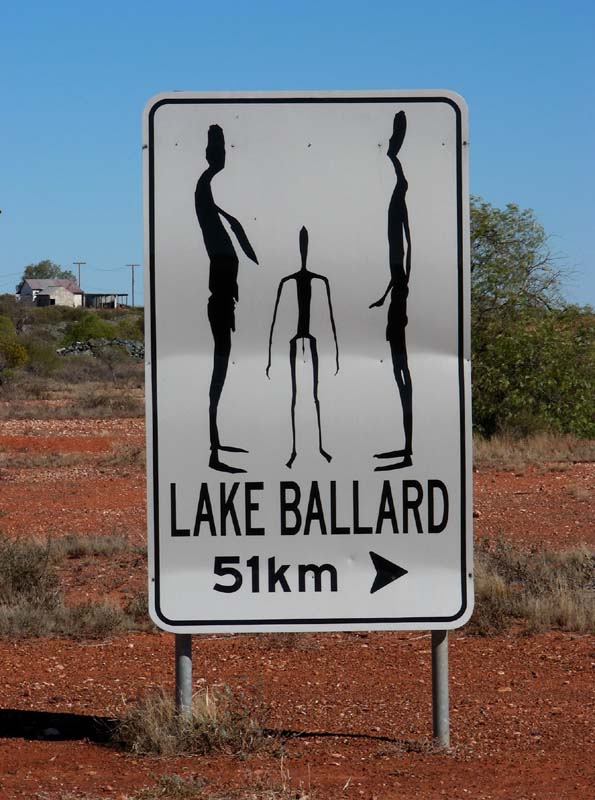
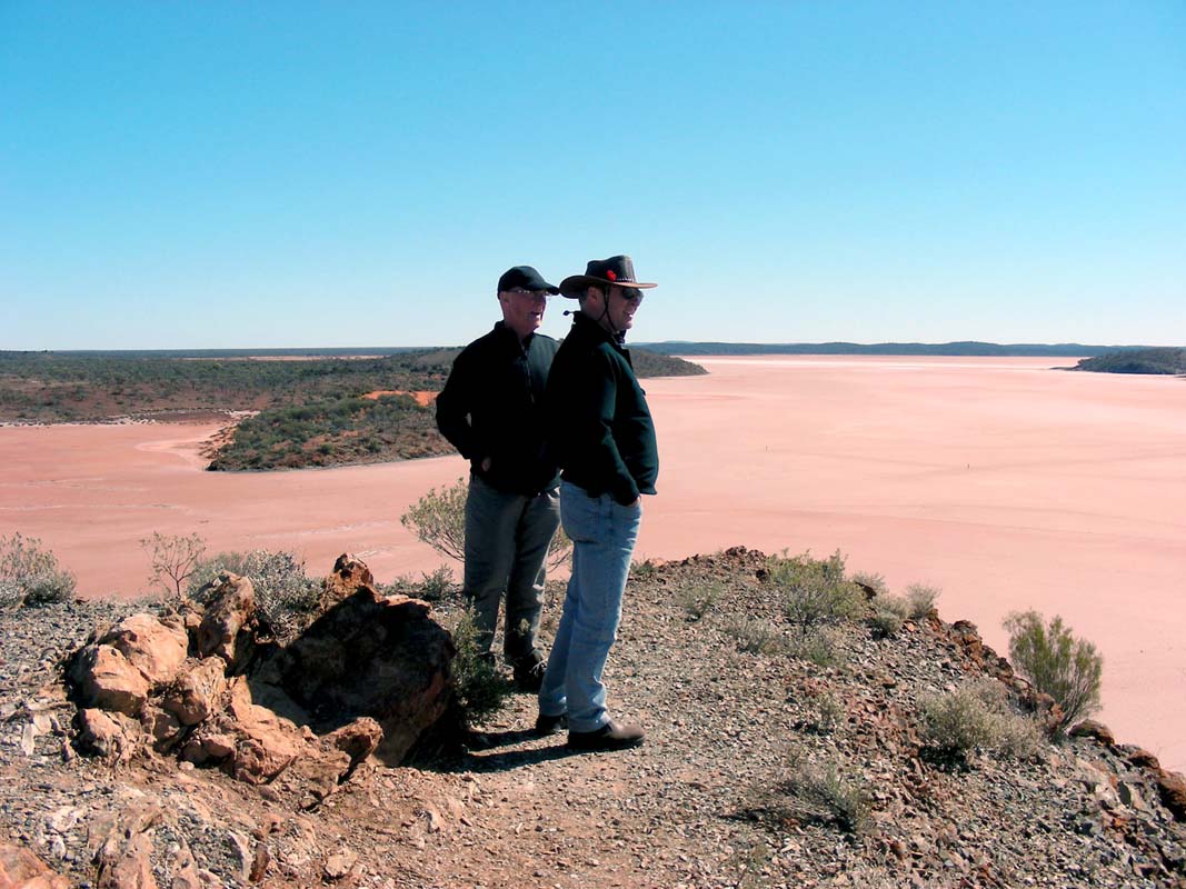
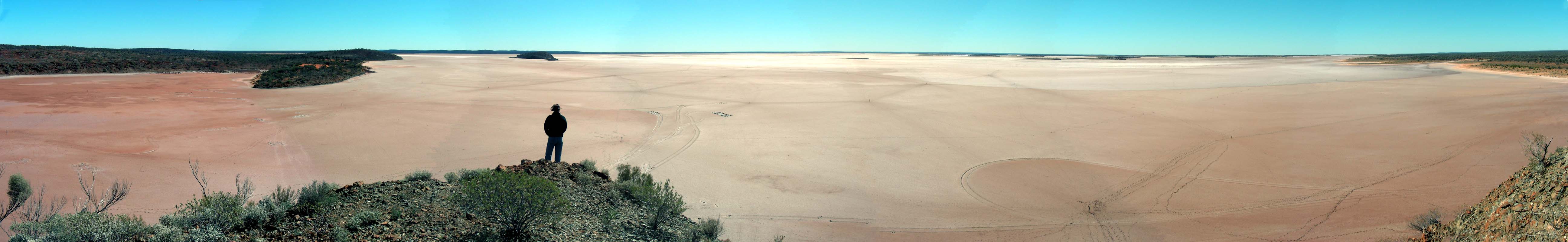
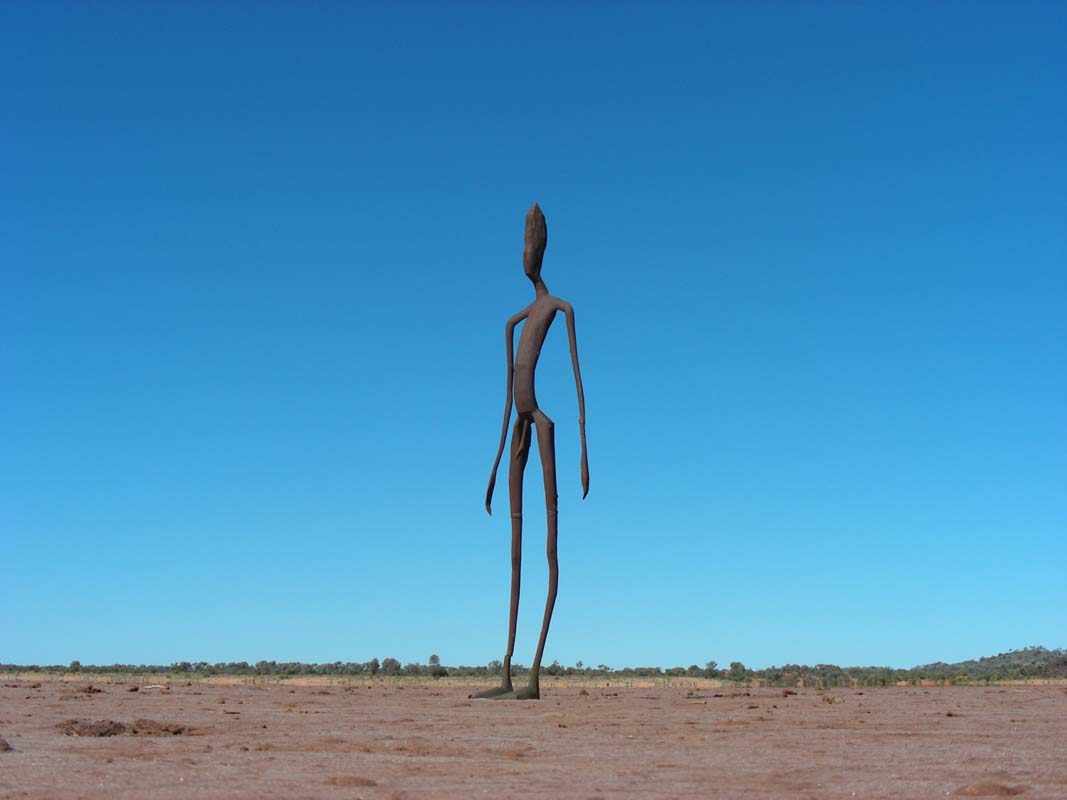
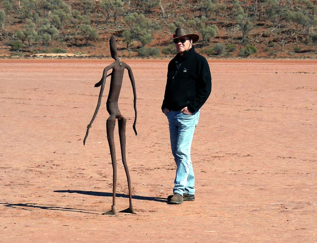
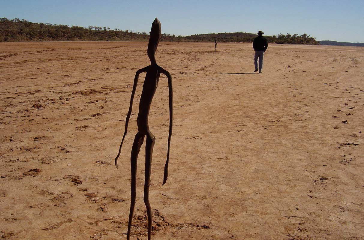
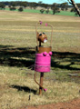
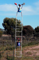
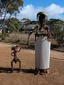
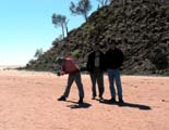
On Sunday morning we head out to Lake
Ballard.
We want to have a look at the carbonised steel figures that
were created by Antony Gormley.
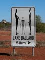
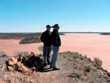

We climb the small hill and find some pretty views.
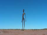
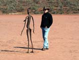
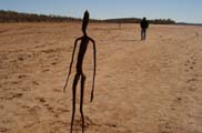
The 51 figures derived from laser scans of the inhabitants
of Menzies ... we find
it hard to see different people in them.
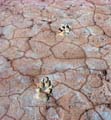

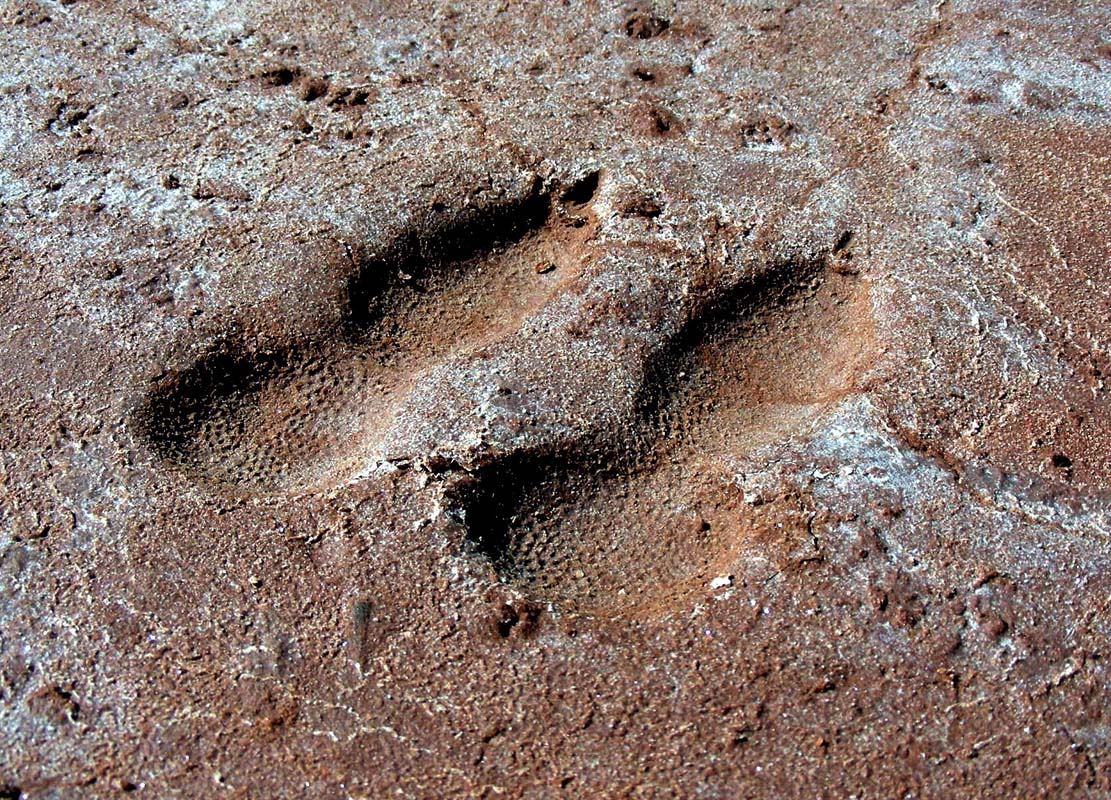
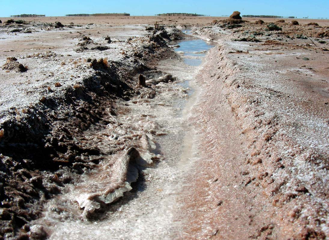
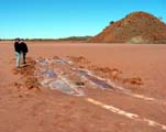
After the recent rains the salt lake is still wet in some
areas, shoes leave marks on it.
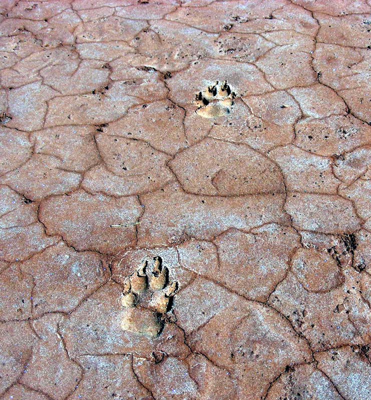
It is also interesting to investigate the various animal
tracks and the formations of salt crystals on the slowly
drying lake.
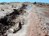
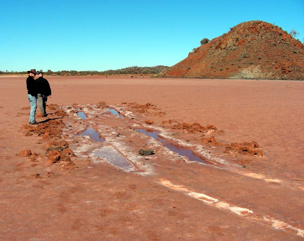
But some people that cannot read signs
have driven their cars onto the soft surface of the salt
lake, leaving their marks there until the next flood will
wash them away or maybe for even longer.
With some pleasure we inspect
the track of one that got nicely bogged .... suits him
/ her right!
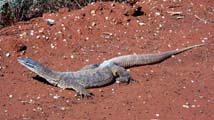
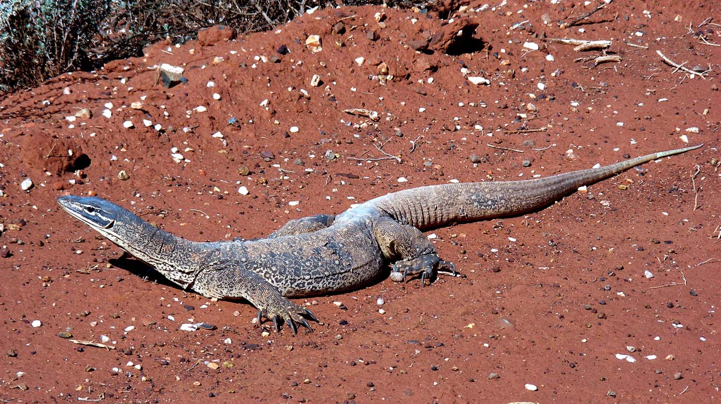
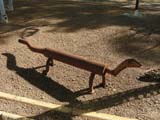
As we continue on the dirt track a nice little Goana
lets us take pictures.
Otherwise the route to Leonora is rather
boring, nothing special.

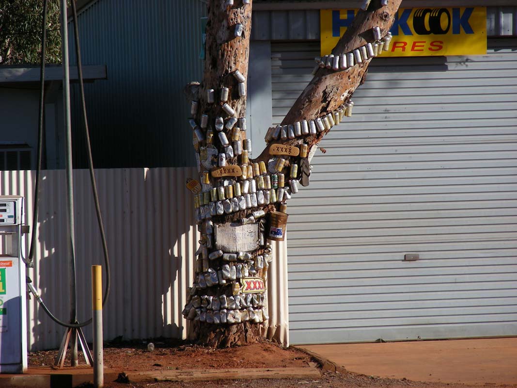
In Leonora we spot this tree ... amazing
what people do.
We visit
the ghost-town of Gwalia
that we visited last year and liked so much.
It is sad to see such a great place deteriorate so quickly.
Then head out to Malcom
Dam for the night.
The
nights are getting warmer; this one only fell to 12°C.
We are wakening up to beautiful sunshine. The surface of
the water in the dam looks like liquid metal.
We are lucky - the
weather forecast for the Leonora area predicts nice weather,
for the coast and south (Norseman area) rain.
We don't mind ...
We head north.
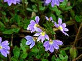
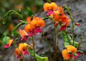
More and more flowers
are in bloom at the side of the road.
We are definitely heading
in the right direction.
A strong wind
hits us head on, the fuel consumption is going to be very
high on this stretch of road (90 km/h driving speed + 30 km/h
wind ...)
We turn into Leinster, a small rather new town (was built
in 1977 to support the local mining industry).
When checking
the road conditions with the local Police they don't recommend
to travel via Wiluna to Mekatharra as the connecting gravel
road is "very corrugated at it's best" and definitively
not recommended for Roger and Katarina's camper.
So we head east towards Sandstone.
The wind is now hitting us from the side making driving a
bit of a challenge for Roger and Katarina's camper; they
get pushed around a bit … the OKA does not really care,
its weight keeping the truck firm on the road.
For once the
weight is an advantage.
The weather is just great, the temperature reaching 25.5°C
with beautiful sunshine. Bliss!!
After passing the Booylgoo Range the wind hits us so strongly that at times it
is not possible to keep the 90 km/h speed.
Then we reach the sleepy little town of Sandstone,
which is located in the Black Range.
It is the classical development story of a town in the Goldfields
....
In 1894 gold was discovered in the area.
In 1907 the town already had
6'000 to 8'000 inhabitants, four hotels, many cafes, four
butchers, a well staffed police station and two banks.
In July 1910 the railway came to Sandstone, by 1919 all was
over, only 200 people remaining in the town.
Many buildings were pulled down and moved
to other towns, leaving many empty spaces throughout the
town.

|
People at Sandstone try very hard to
make the town attractive.
The wide main road is decorated
with pretty wildflowers, the houses renovated, the
old mining equipment used as flower pots ...
even skimpy nights are organised at the pub …
But other things just make you realise how remote
this place is.
Sandstone has a nursing post that is operated by the Royal Flying Doctor Service
... one day per week every three weeks.
The next medical facilities are in Mt. Magnet (150 km on bitumen road) or Mekatharra
(195 km on dirt road).
This really is bush …
|
The post office is typical for a small town, housing
the post office, the general store and the bank in one room.
We want to know more about the tourist attractions
they offer and visit the tourist information centre.
It
is
cute and also houses the local museum.
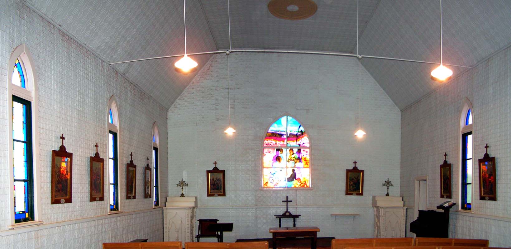
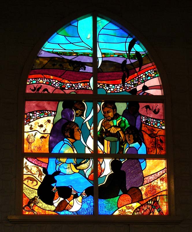
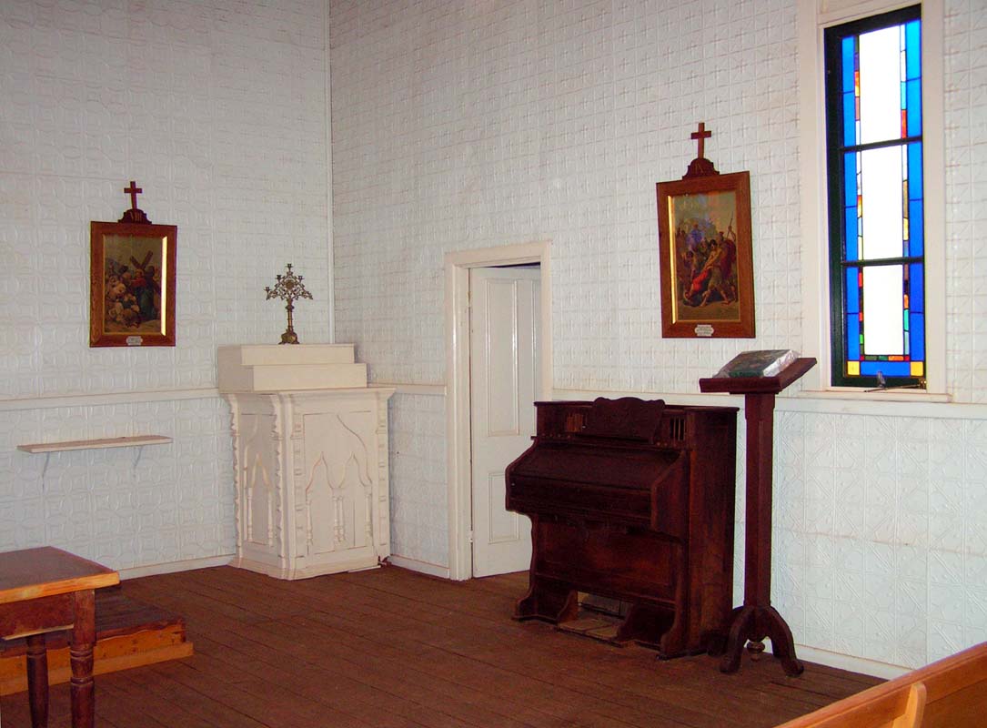
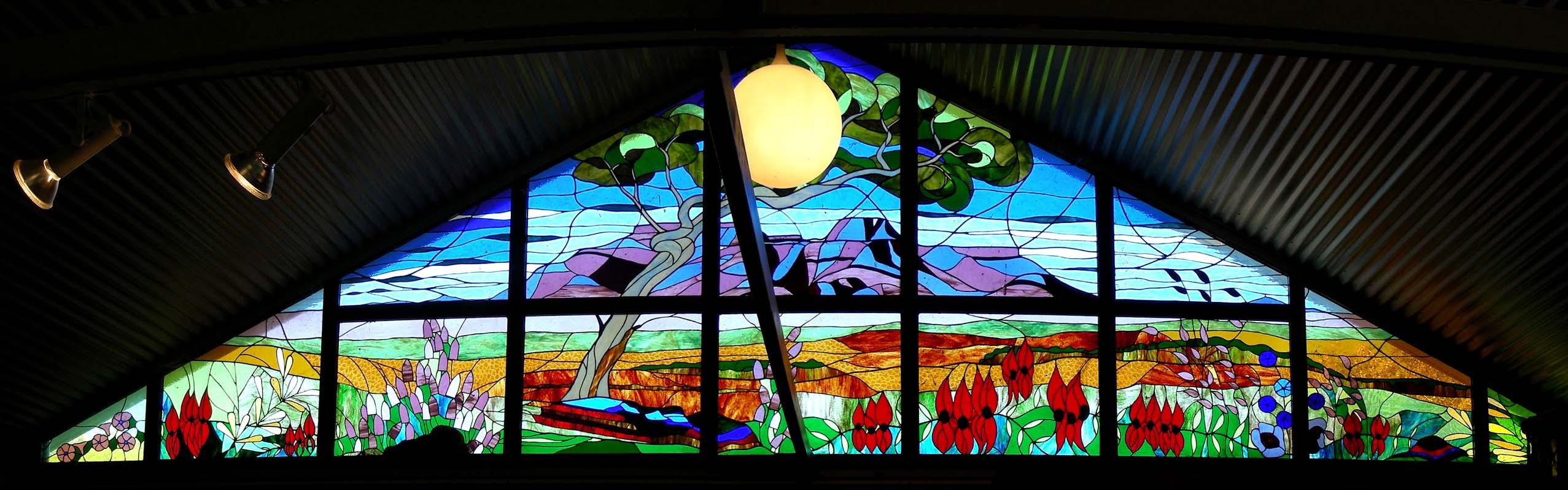
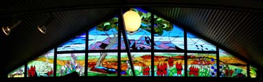
There we also get the key to the town's church.

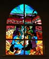

The small church used to be a Catholic Church and was built
in 1908.
In 1995 the church was restored and became a non-denominated
church.
The main feature is the stained glass window showing
the local landscape, flora and fauna.
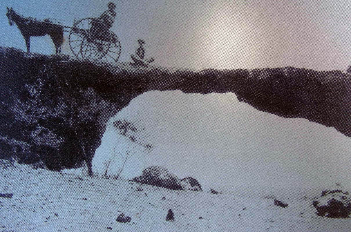
Then we head out to the London Bridge.
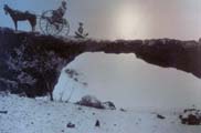

London Bridge is a rock arch, formed
from sandstone believed to be 350 mio years old.
Erosion has
taken its toll.
In the 1900's one was till able to cross
it with horse and wagon ... these days there is a warning
sign not to walk over it.
We stay for the night at the dusty Sandstone caravan park.
A thunderstorm passes but sadly does not bring much water
to the drought-plagued area.
In "normal" years at this time of the
year in this area the red earth should
be converted to a carpet of colour.
But in the guide book it clearly states "Subject to seasonal
rain" which this year has not come.
We are starting to doubt that we will see the famous wildflowers
at all ....
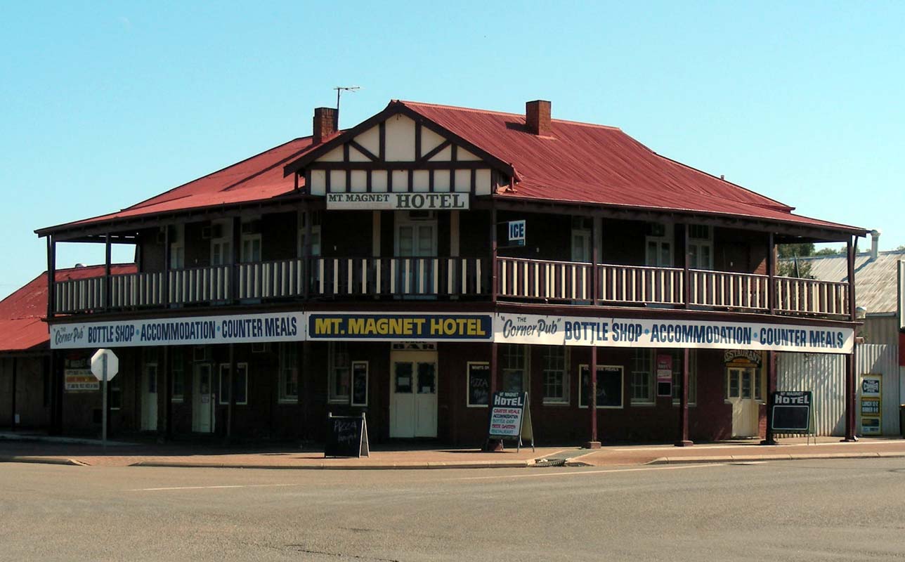
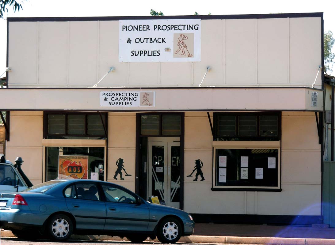
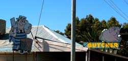
On Tuesday morning we continue west and stop at Mount Magnet, the oldest operating gold settlement in
Western Australia.
Here too some of the old buildings have been restored.
Prospecting
gear and guide books on how to find gold can be bought at
local stores.
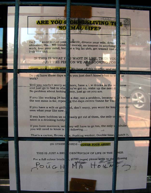
They for sure have a special way of wording their job-offers!
Here the transcript (please excuse the wording in some parts
....):

|
"Are you sick of living the normal
life?
Do YOU want to ruin your home life, divorce your wife,
drink like an alcoholic, have NO friends or money,
no interest in anything but work, lose your mind,
become a big fat slob, get treated like a child, look
like
shit ...
IF THIS IS WHAT YOU WANT IN LIFE, THEN YOU ARE JUST
THE PERSON WE ARE LOOKING FOR!
COME JOIN IN THE MINES, We have all this to offer,
and more ...
Do you have those days when you just don't know what
to wear to work?
Well you needn't worry any more, have
a few drinks in the wet mess and just go to bed in
what you've got on, wake up the next day.
No problem, about looking fancy, just go as you are.
If you like working 24 hours a day, no problem, because
that's what the wet mess is for, repeating the day's
events Tonne for Tonne.
If you have a wife or girlfriend,
don't worry, you won't for long once she sees what
your like now ....
If you have hobbies we can easily
get rid of them, the only one you need is a drinking
hobby.
If you have manners, well they will have to go
too, the only vocabulary you will need to know is the
following ....
That's a carton, Brown nose, Fucking wanker, Double
time, snatch it, Nice tits, Me Aircon's not working,
Where's me pay and NO, I didn't do it!
(IN OTHER WORDS - COVER YOUR ARSE!)
THIS IS JUST A BRIEF DESCRIPTION OF A LIFE IN THE
MINES.
For a full colour brochure, (6'789 pages) please write
to the following ....
"
|
It is also obvious that we are back on the Great Northern
Highway.
A lot of heavy mining machinery is transported on this road.


We head out to "The Granites",
breakaways in pretty orange, red-yellow and white colours.
Erosion has created
some interesting rock formations.
Then we head north through Cue,
another Goldfield's town.
Today just a few buildings remain, some of them still waiting
to be restored.
Gold was so abundant in Cue that a sister town, Day Dawn,
was erected, its mine was the premier gold mine in WA
in its time.
In those days the mines would provide the infrastructure in
the towns.
So when the mine closed
in 1918 it took Day Dawn's light and power supply with
it, which not surprising was the end of the town.
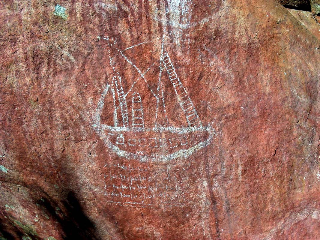
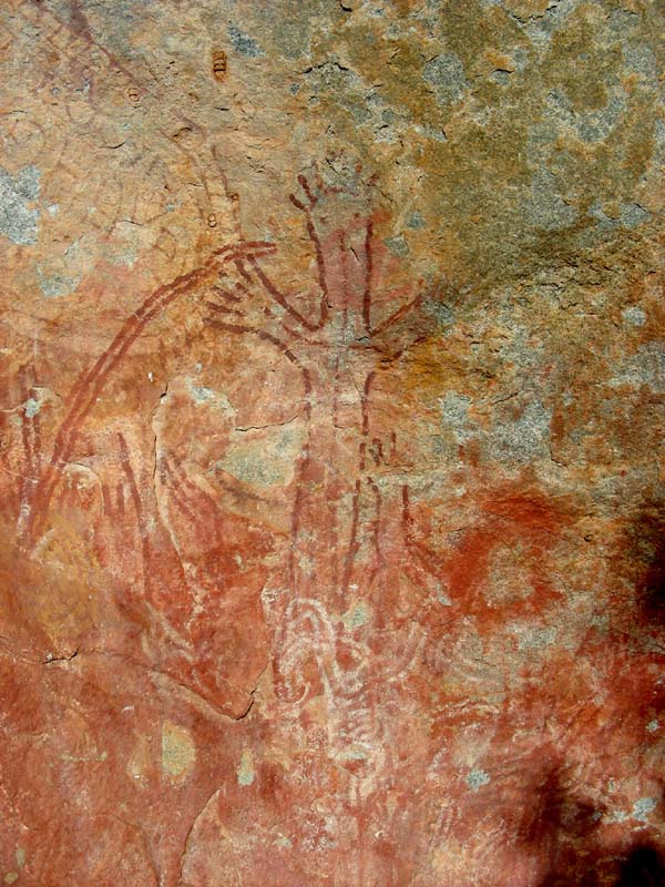
We continue on to the "Walga
Rocks".
The rocks are pretty and quiet impressive.

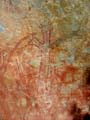
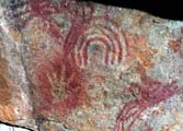
The rock art has suffered a lot.
Interesting is the painting of a large sail boat with some
sort of script below … it is definitively not traditional
Aboriginal painting style …


We settle down, get the chairs, cameras, Port and nuts out
and enjoy the sun set.
The rock also changes colours but
not as much as the Ayers Rock or the Olgas.
Still, the atmosphere
is very peaceful.
The temperatures drop fast and we hurry
into the campers for some shelter from the wind.
Over night
the temperatures drop to 5.6°C again.
We get up early on Wednesday morning as we want to reach
Mekatharra in the morning to be able to visit the School
of Air and the Royal Flying Doctor Base.
Being on the move again already at 7.30 AM enables us to
see many kangaroos.
On the way north we pass many mines, some of them with large
equipment parked right at the side of the road.
We reach Mekatharra shortly after 10 AM.
When asking at
the Tourist Information where the School of Air can be found
we are informed that it had burned down 12 month ago.
When
asking about the Royal Flying Doctors we are informed that
they are a bit short staffed and there is a chance that they
are not at the base … which is the case when we get
to the base.
We are a
bit frustrated but decide to hang around for a bit and see
if by any chance they come back to the base.
There is lots of historical stuff to have a look at.
The displays again show us how much change the Goldfields have
gone through.
For details please click here.
We explore Mekatharra.
The town is very clean but all windows
are secured with bars and security screens, which gives the
town a bit of a hostile atmosphere.
We head north towards the next town, Newman, some 422 km
away.
There is a lot of traffic on the road, mainly Road-Trains
and in between the odd Tourist with campers and caravans.
We don't manage to reach Newman and have to stop at the Capricorn
Roadhouse for the night.
It is too dangerous to drive at night
with all the kangaroos and other animals crossing the road.
For the first time on this trip we can eat outside.
But the
night temperature still drops to 5.6°C.
On Thursday morning we get up early
and reach the Newman Tourist Office shortly before 8 AM.
The friendly staff informs us that there is no 8.30 AM tour
of the Mt. Whaleback Mine today and that the 10 AM tour is
already fully booked.
We are a very frustrated, but then decide
to change plans and do a bit of washing and shopping and
go on the 2 PM tour.
There is no laundrette in Newman anymore so we ask at the
Dearlover's Caravan Park if we can use their machines.
While Roger and Katarina do their washing and Susi the shopping
Ruedi drives up to the Tourist Office and tackles the assembly
of the new spare tire.

Something is wrong and the tyre just
cannot be assembled.
We try and try, but even brute force
does not change things, we cannot assemble it.
As Ruedi has
to finish this tyre Susi returns their tickets for the mine
tour. Roger and Katarina will have to go on their own.
Ruedi and Susi inspect the tyre and carefully push the beadlock
under the rim.
Then suddenly the tyre can be assembled and
the screws tightened.
As it is shortly after 1 PM Susi rushed over to the Tourist
Office and gets the tickets back. ="trip_02/
We just manage to clean all up and already it is time to
go on the tour.
The bus picks us up and we are driven
through the security gate into the Mt.
Whaleback Mine.
Soon we all stare at the large equipment and the mind-boggling
"details" that the tour guide passes on to us.
We
are very impressed!
For photos and details
please click
here.
But soon it is time to continue on.
We head out to Mt.
Robinson where we stay for the night.
|