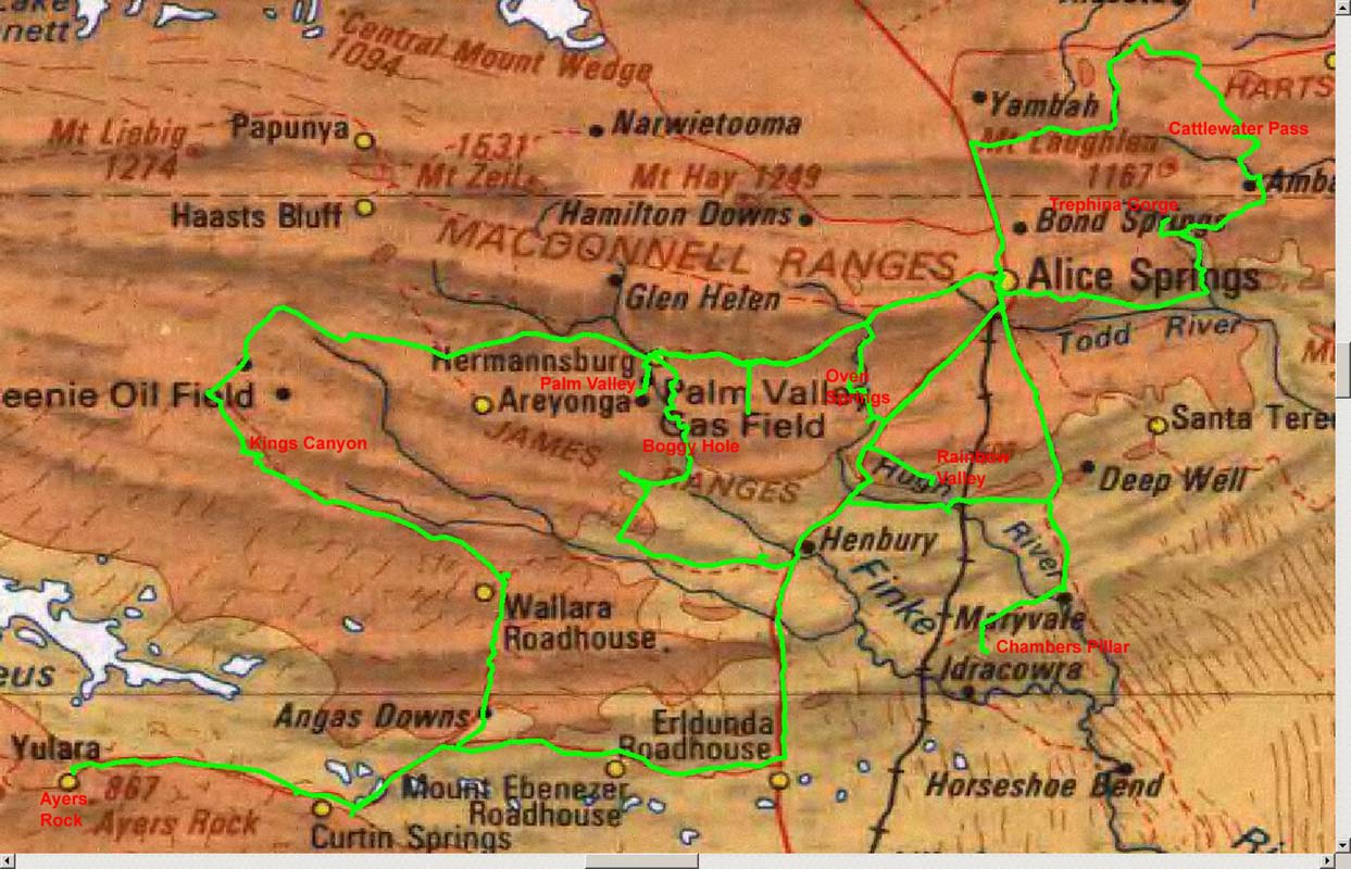
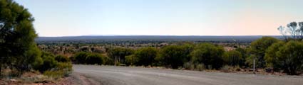
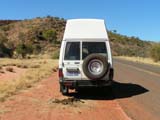
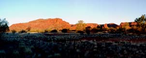
Alice Springs
On Wednesday, July 19, we leave Alice Springs on a cloudy
day.
We take the Stuart Highway south to Erldunda then
turn west on the Lasseter Highway and follow it to the Ayers
Rock Resort at Yulara.


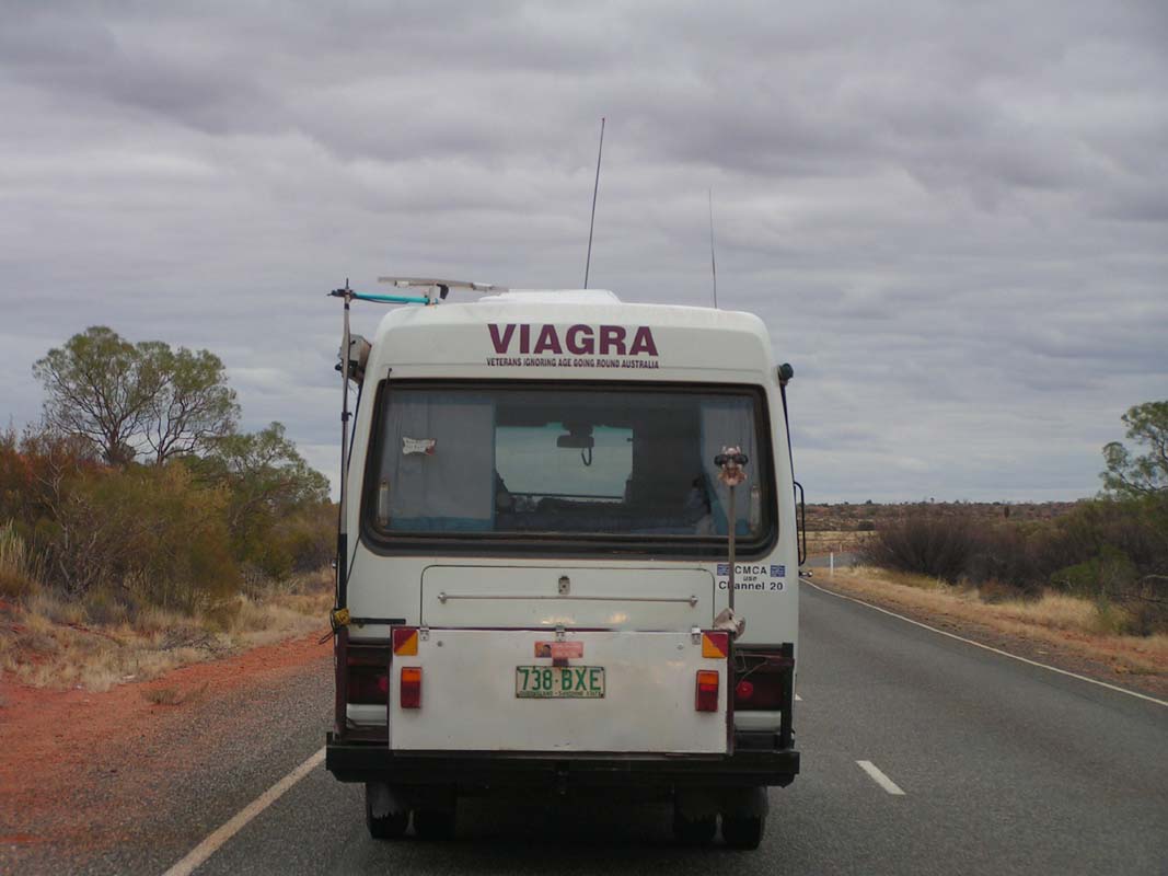
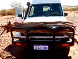
We couldn't agree more with the sticker on a mobile home
in front of us: VIAGRA = Veterans
Ignoring Age Going Round Australia ....
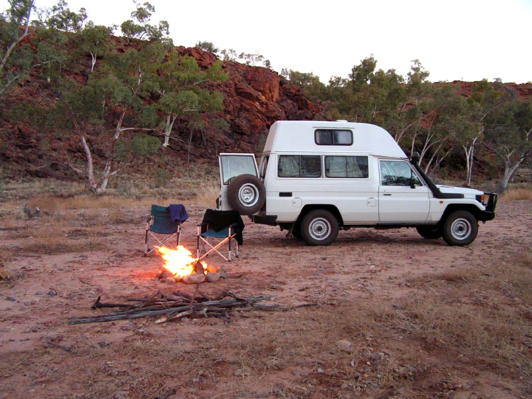
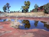
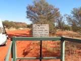
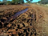
At the resort all are thirsty ....
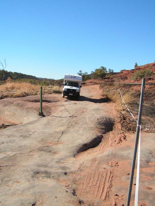
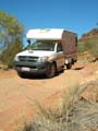
Guido erects the awning of his Apollo camper and notices
that a pole is missing.
Luckily we have 3 poles in our truck can help
out.
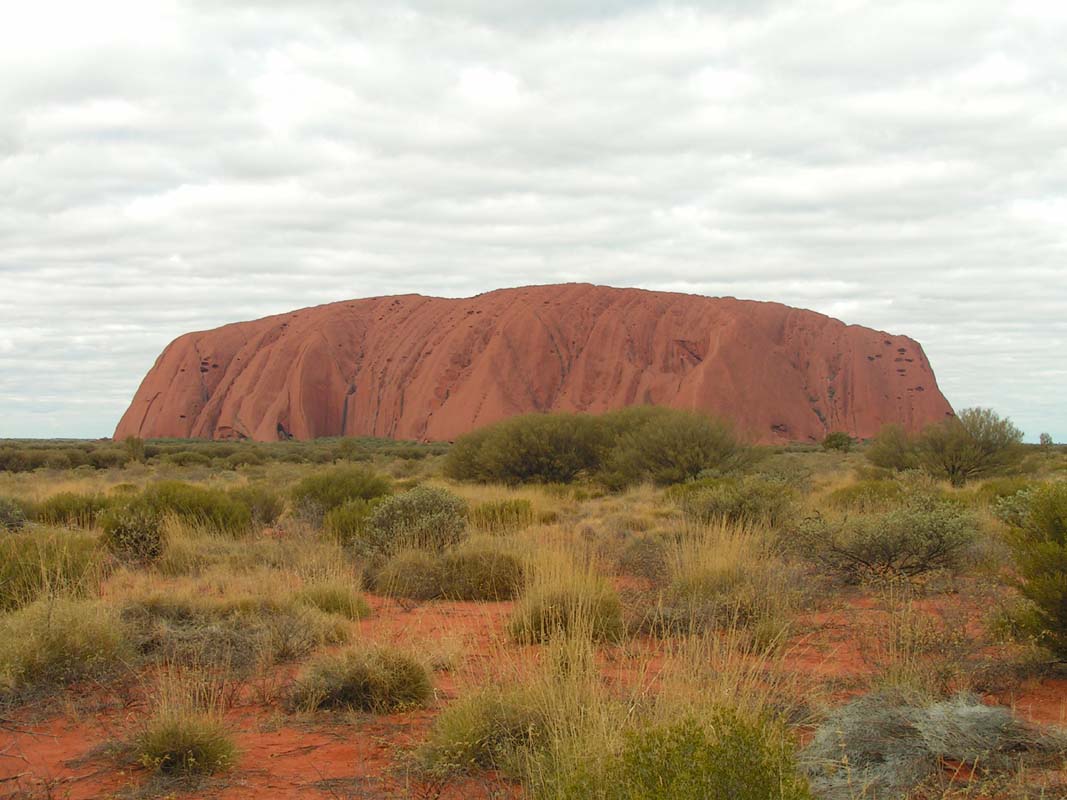
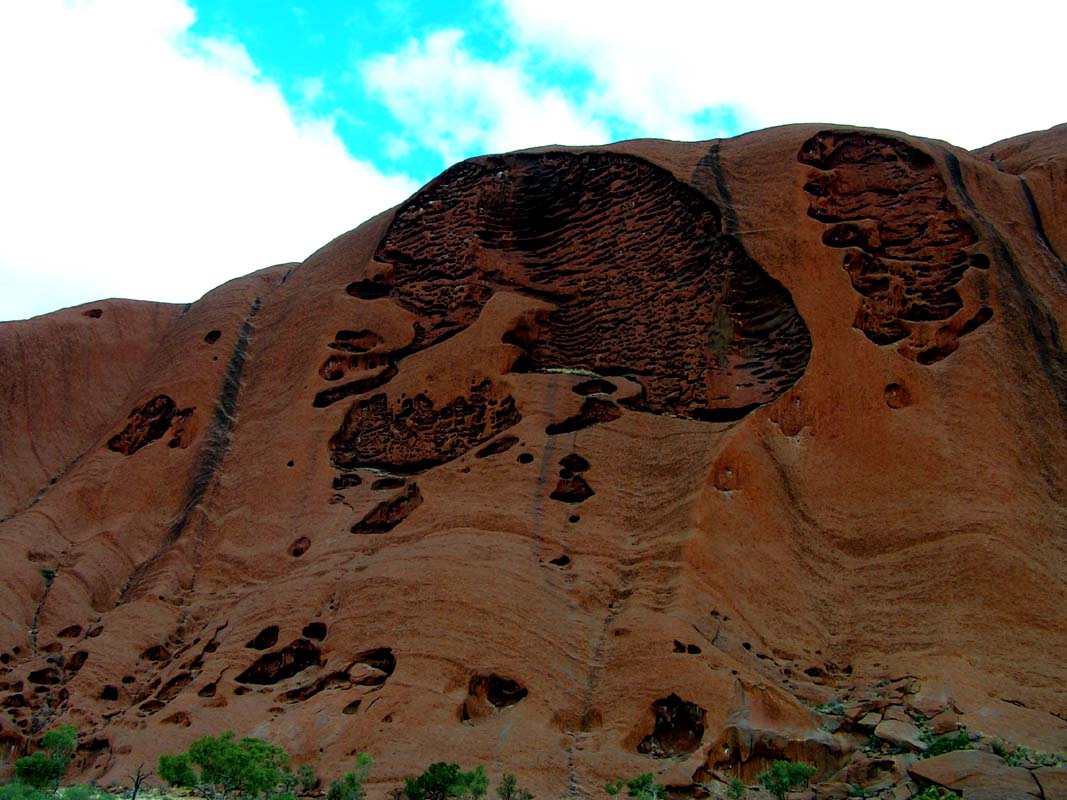
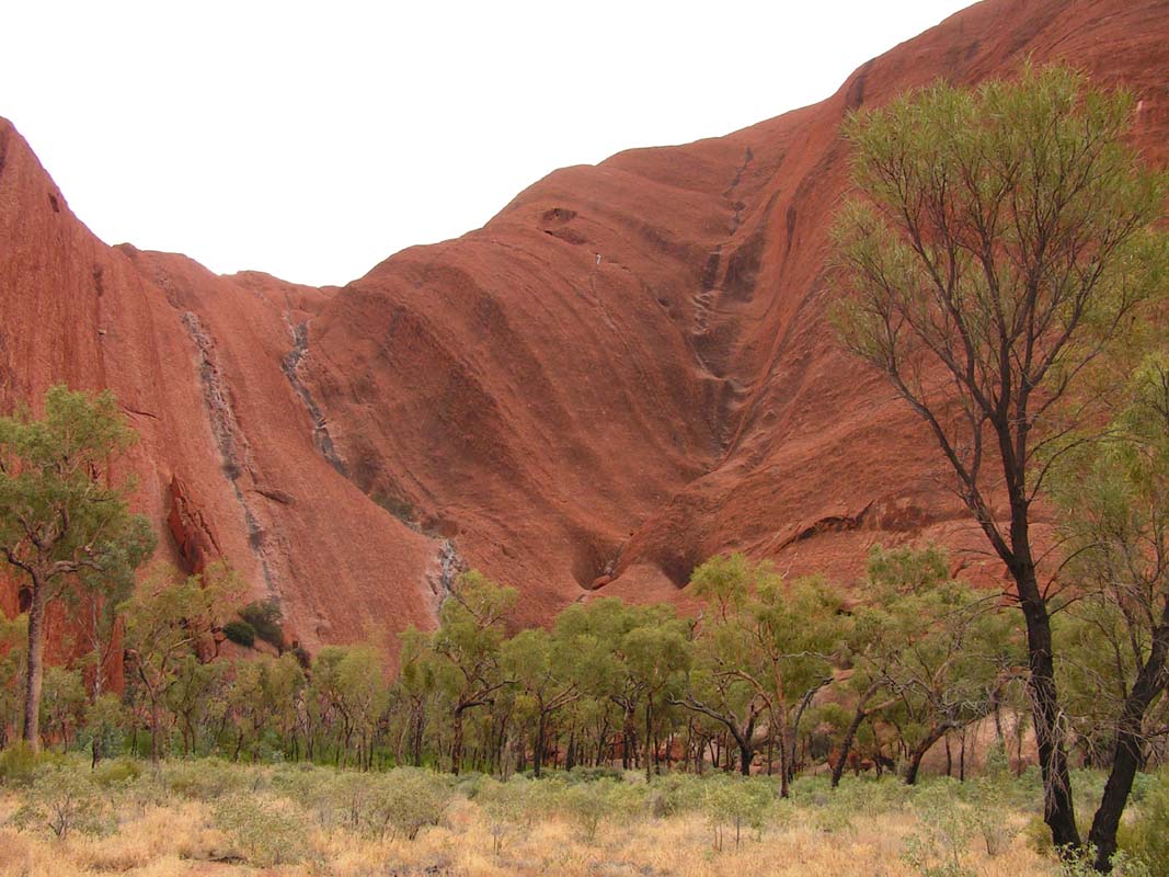
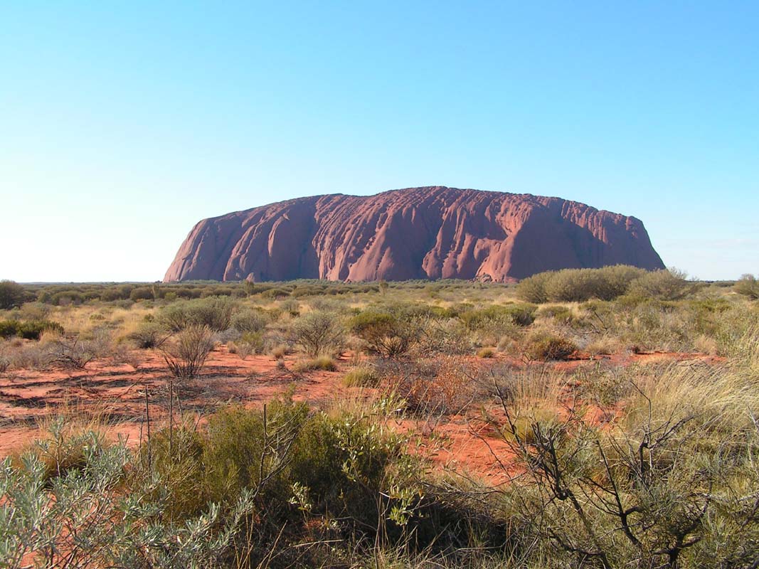
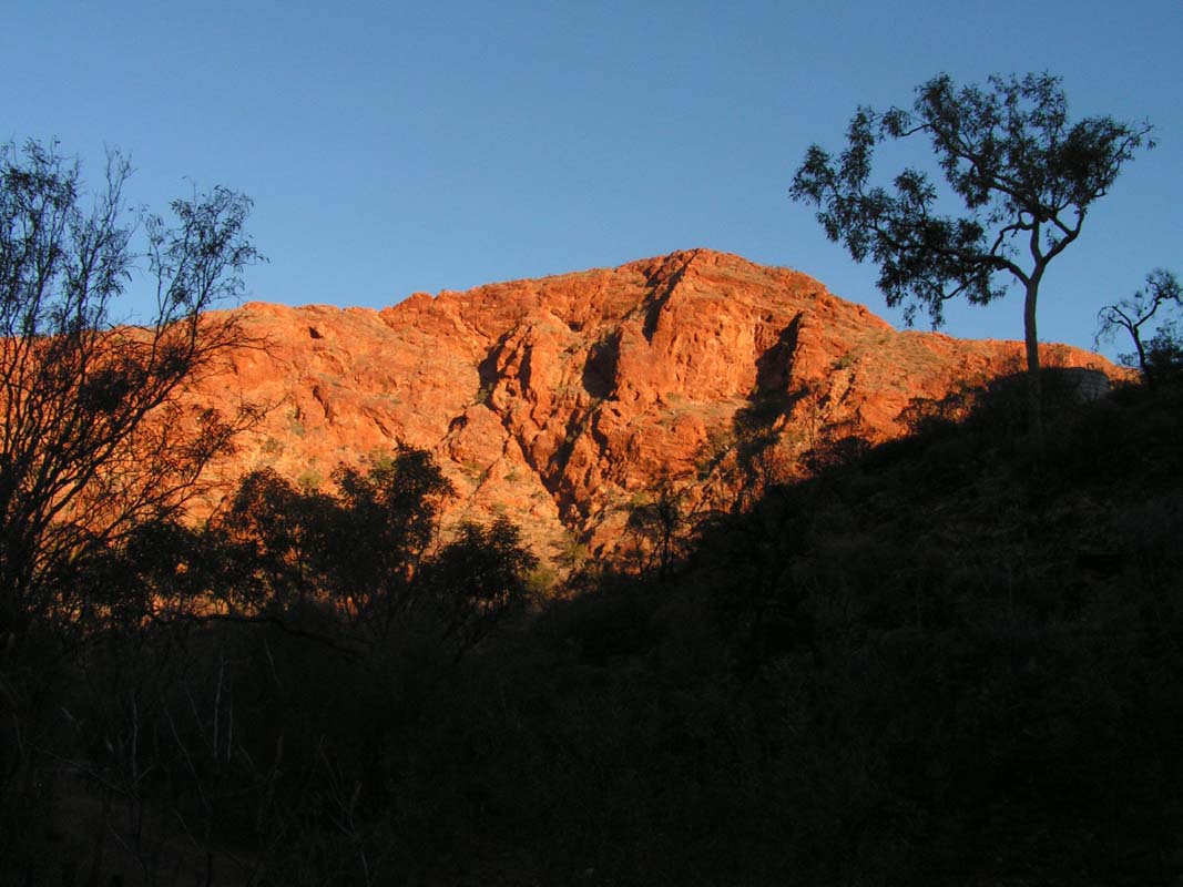
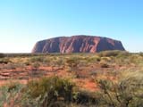
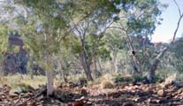
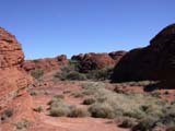
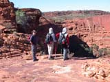
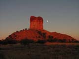
On Thursday morning it is only 10°C warm and cloudy.
The weather is ideal for hiking, so we drive to
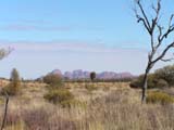
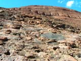
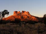
the Uluru
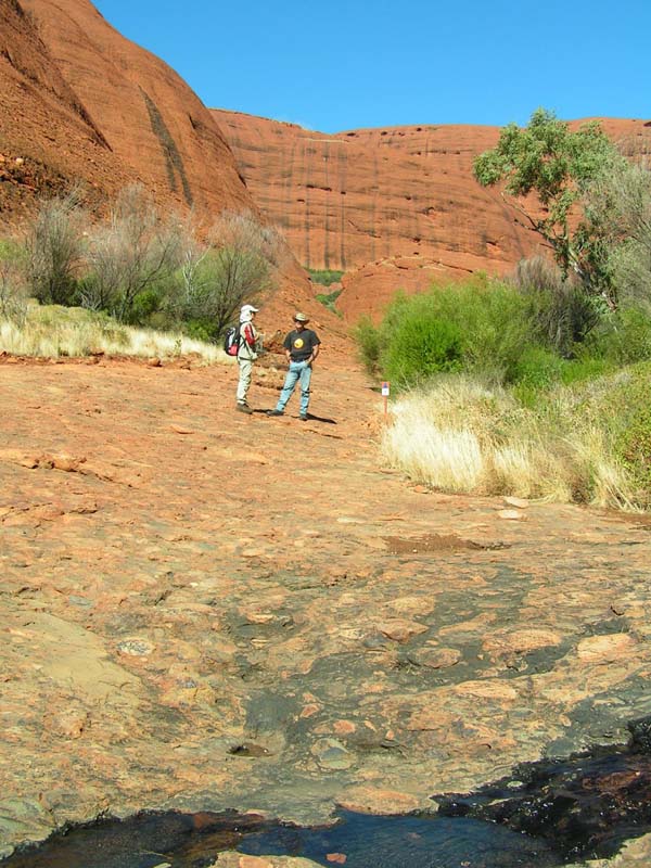
/ Ayers Rock and walk around it.
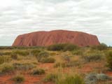


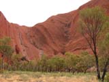

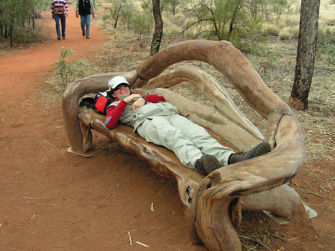
The hike is pretty and easy ....
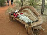
.... but certain hikers actually wouldn't mind having a
snooze ... isn't it so Judith?
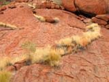


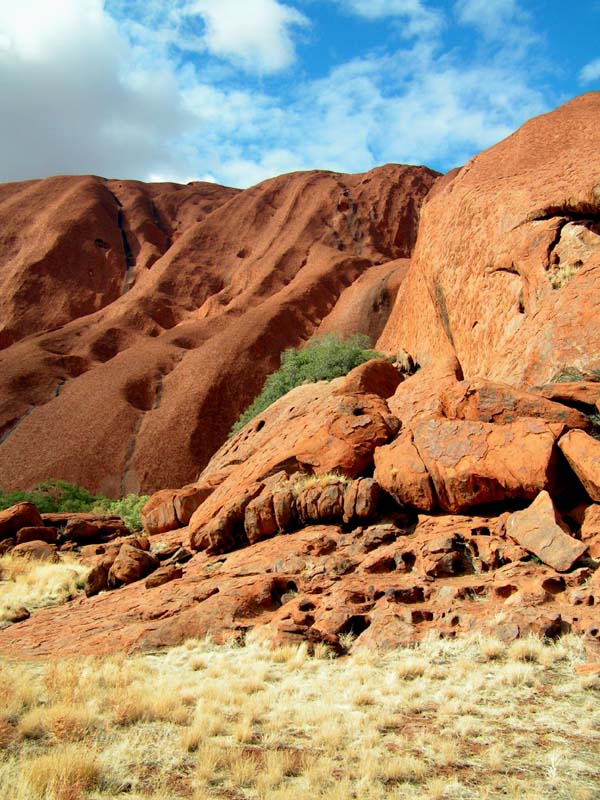
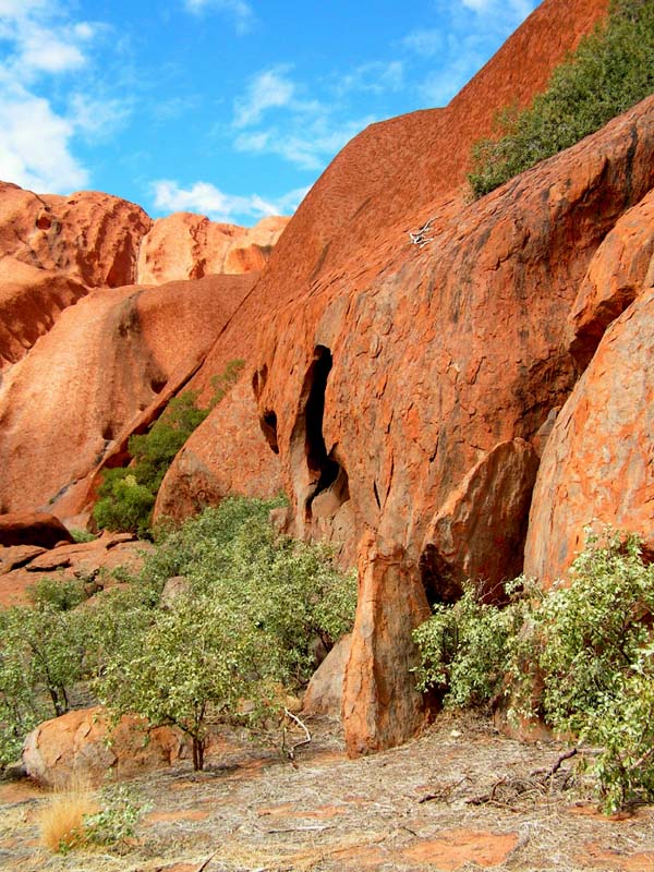
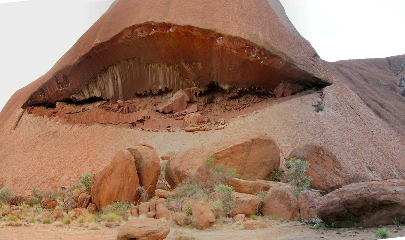
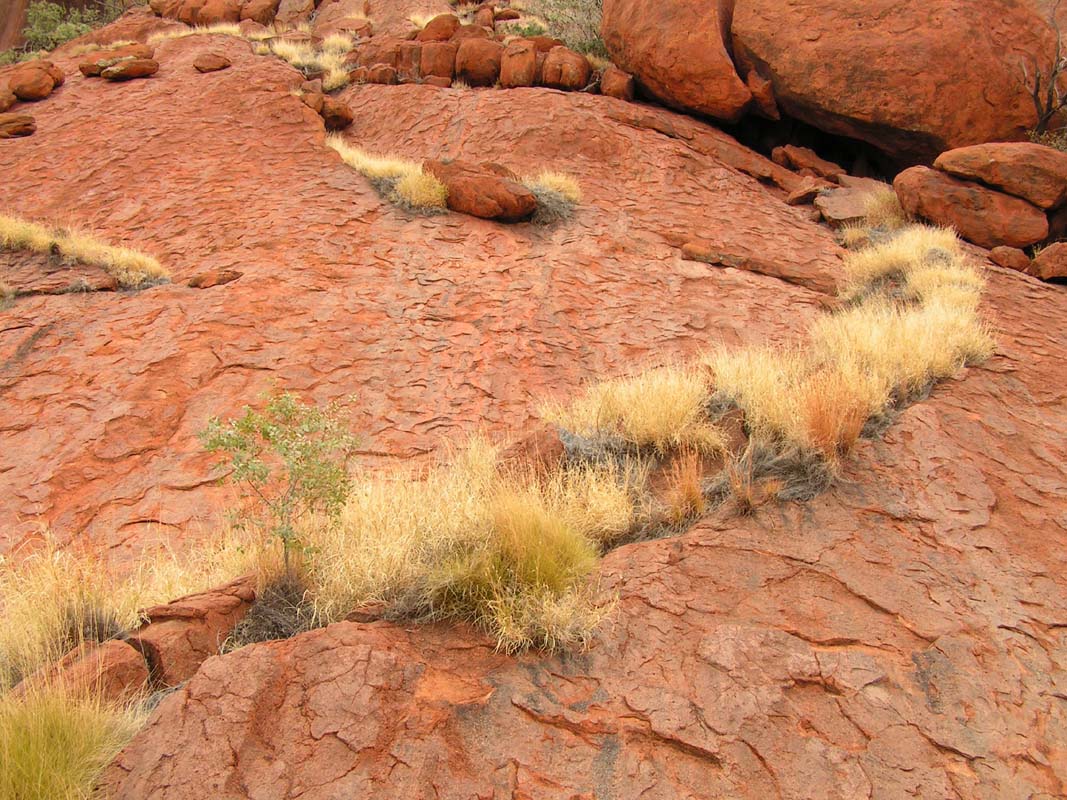
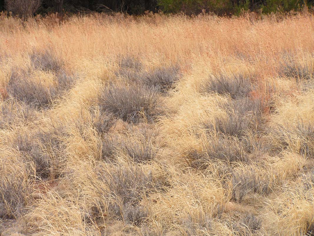
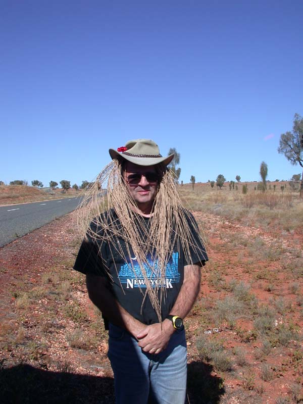
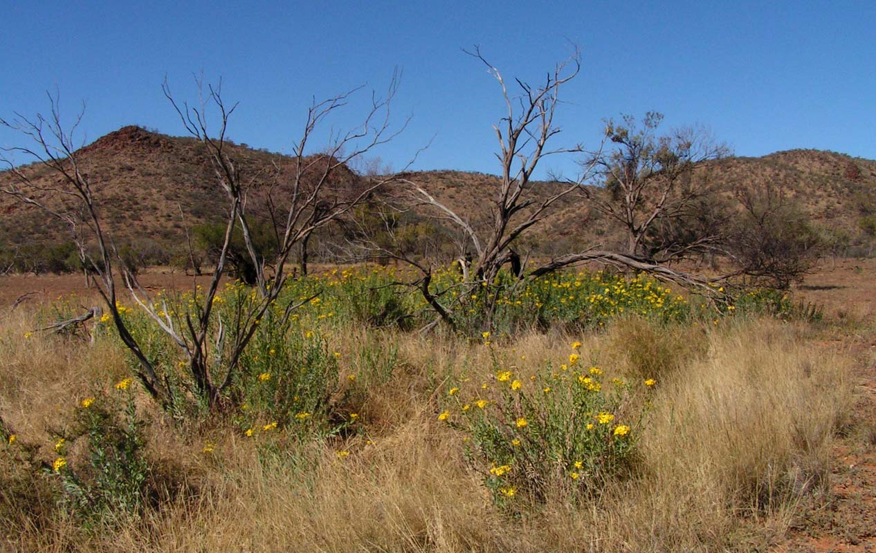
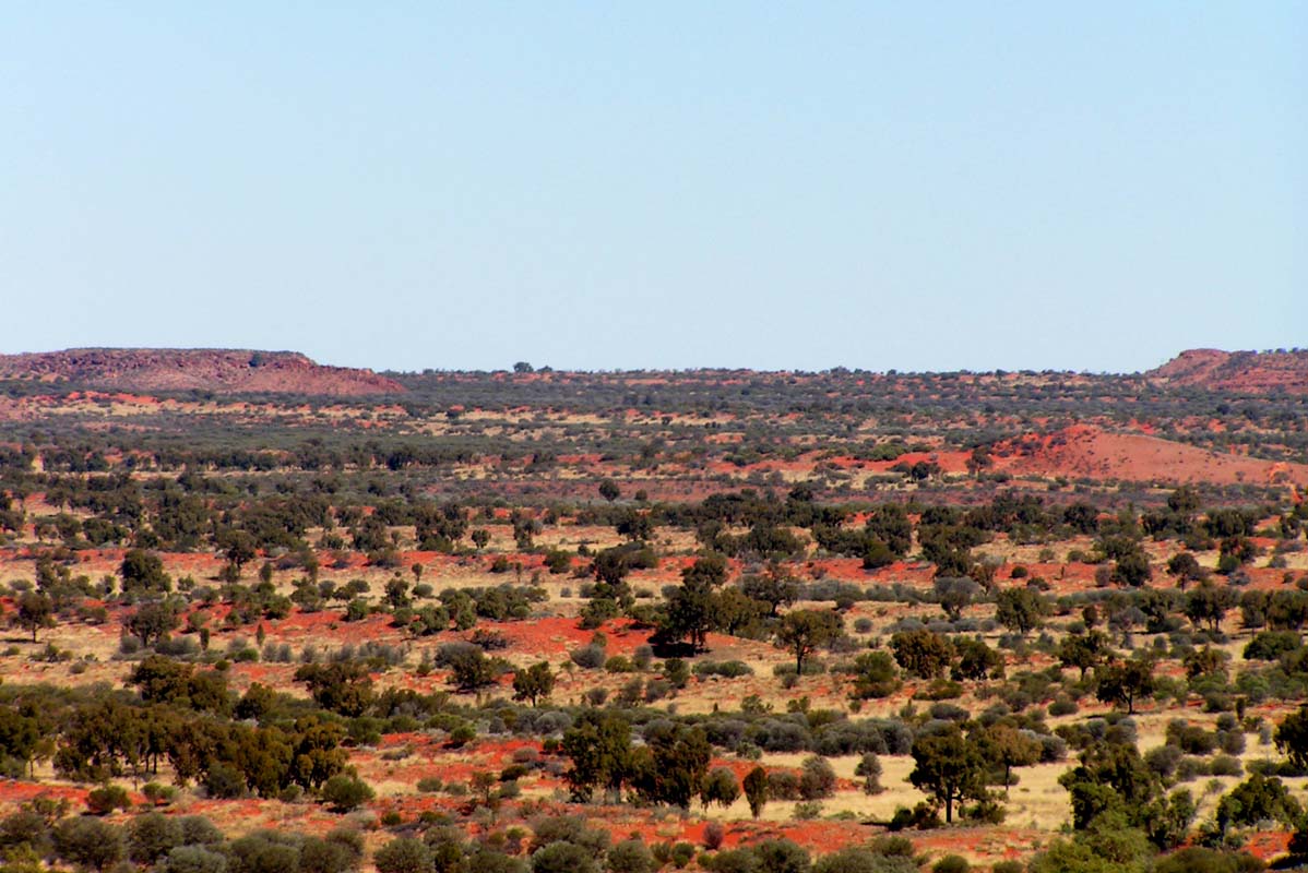
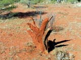
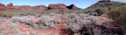
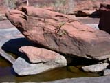
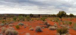
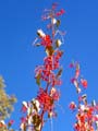
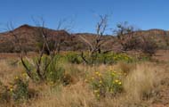
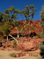
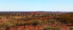
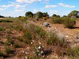
Nature is very colourful.
 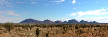
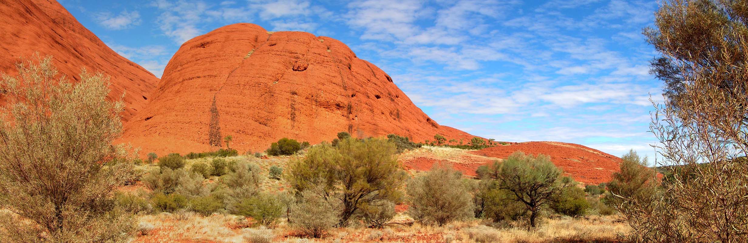
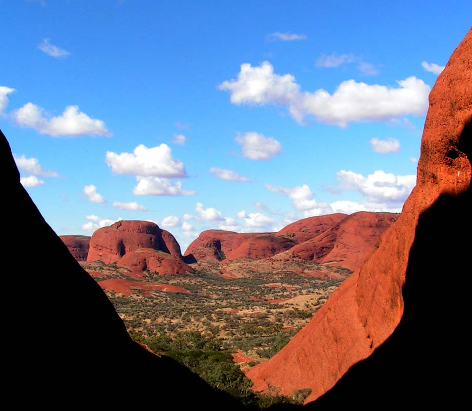
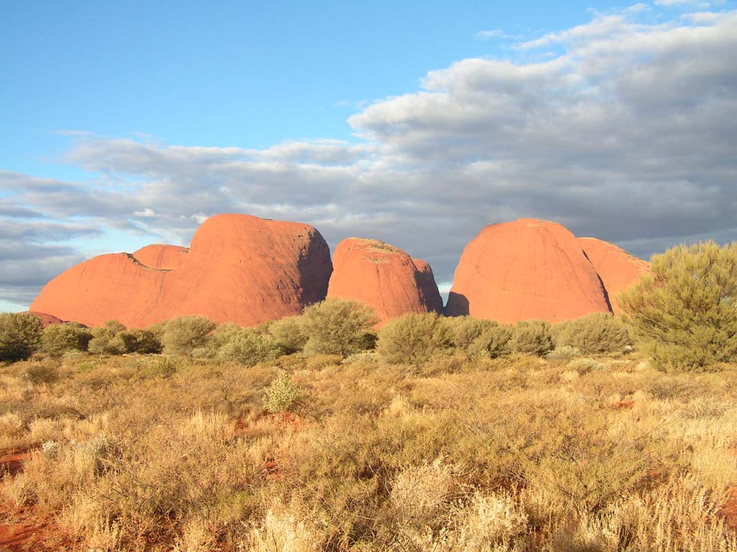
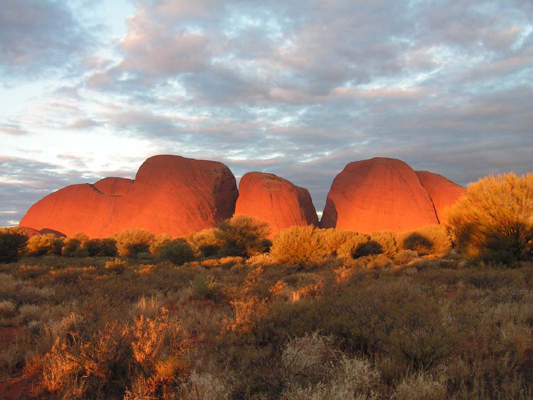
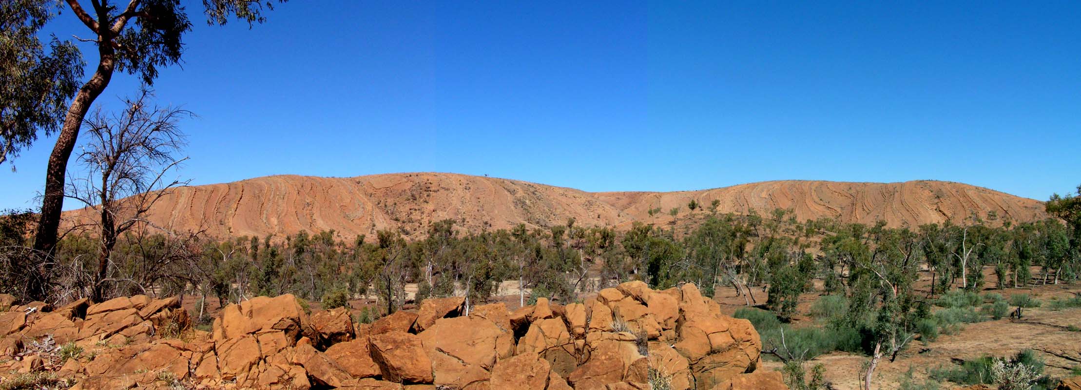
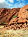
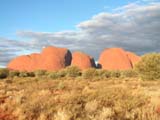
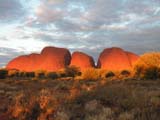
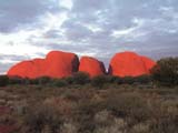
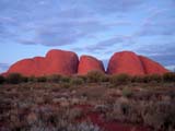
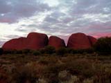
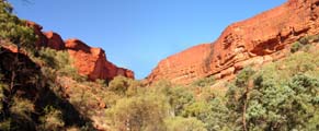
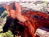
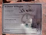
On Friday, July 12, we visit the second rock formation in
the national park, the Olgas (Kata
Tjuta).

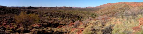
It is sunny, but not too hot today, so this time we go for
the "Valley of the Winds" walk.
When we were here 1995 it was much too hot and we had to turn round already after
a few hundred meters.
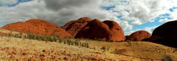
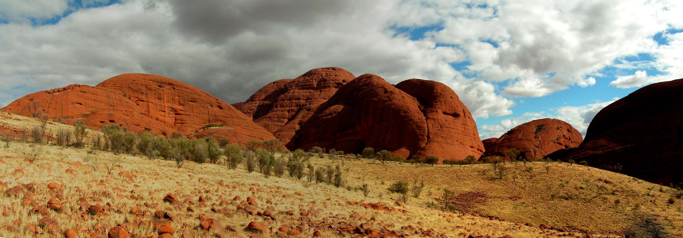
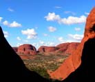
The hike is much more demanding than the one around the Uluru,
but at the same time has much more to offer.
It is very
beautiful 7 km roundtrip into the Olgas.
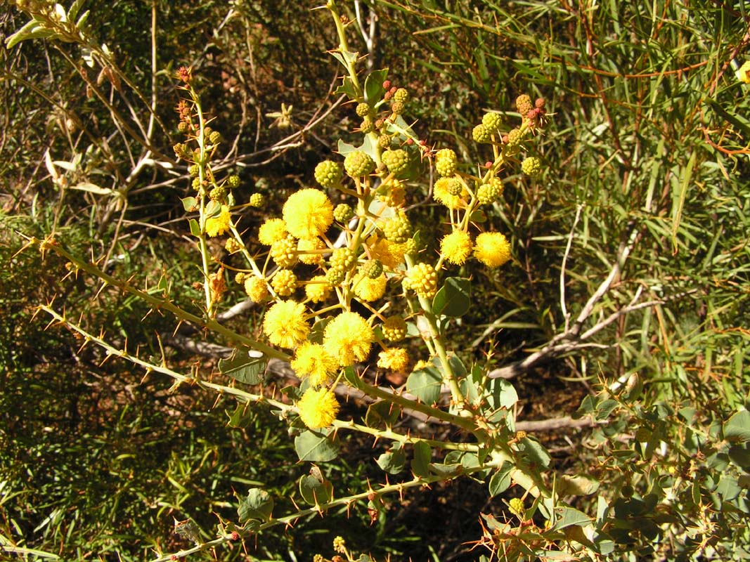
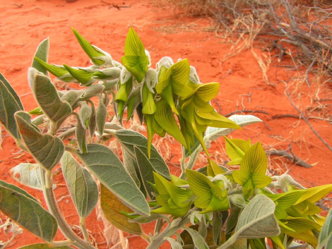
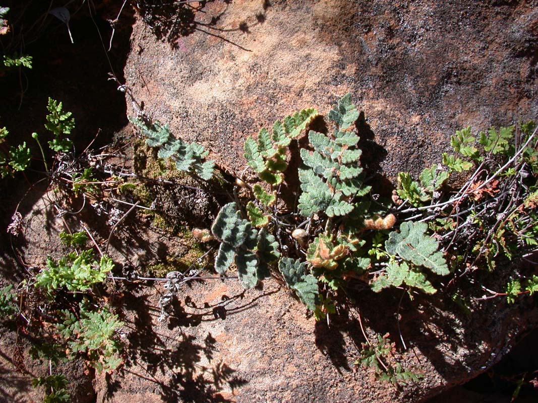
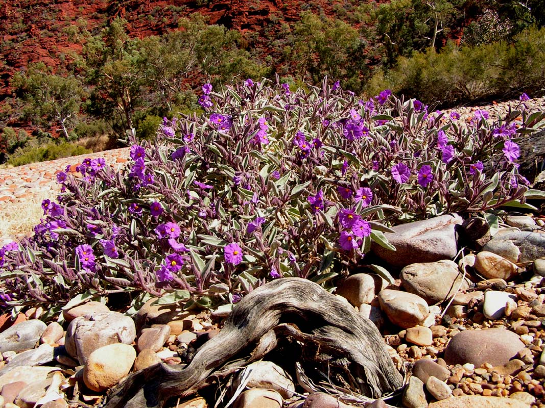
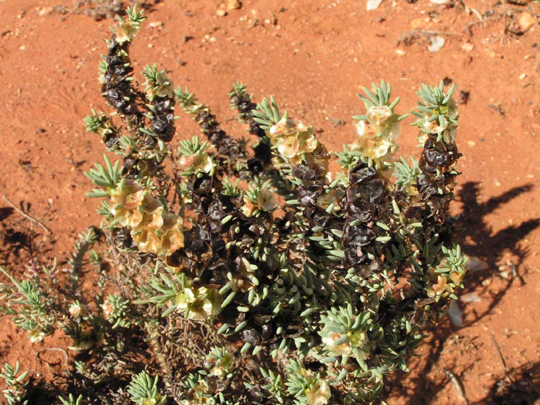
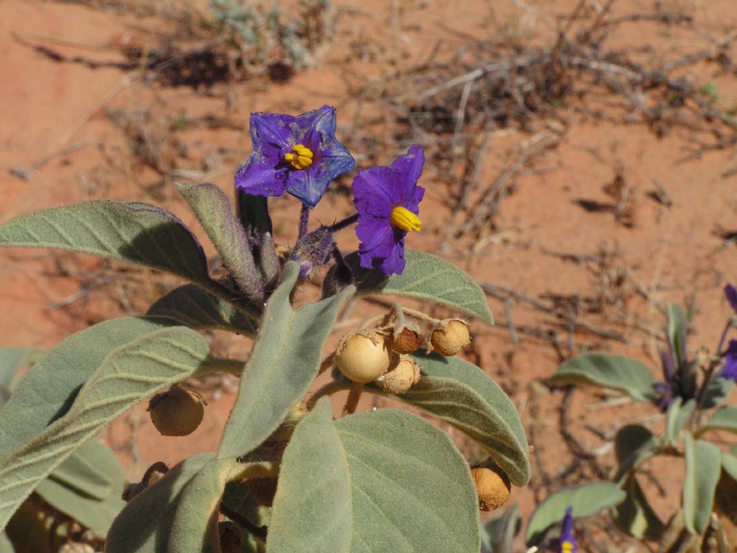
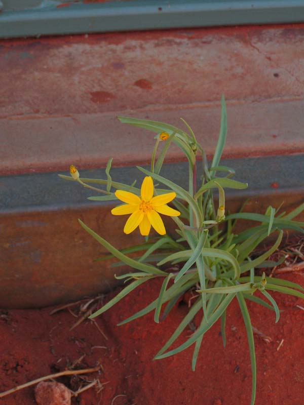
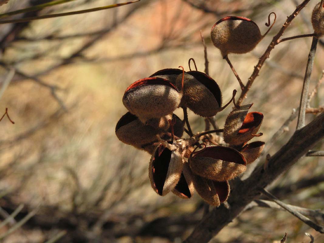
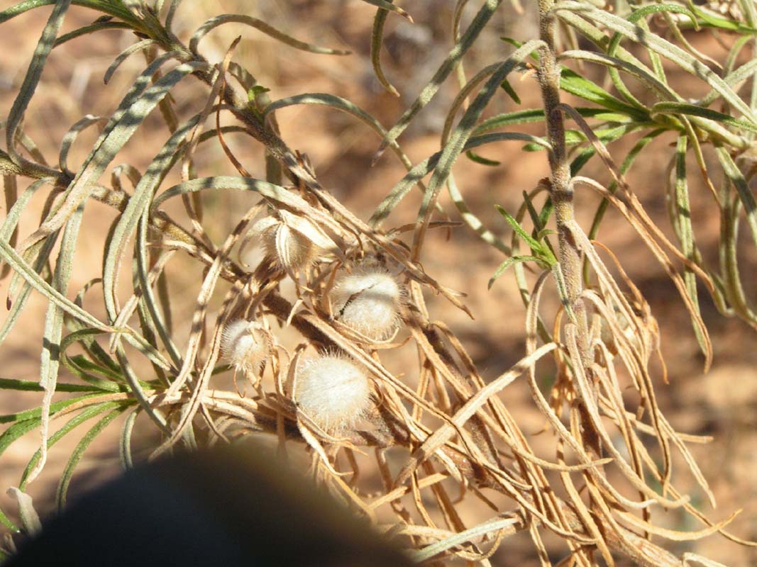
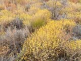
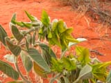
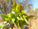
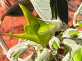
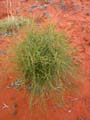
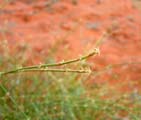
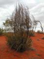
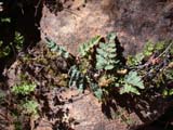
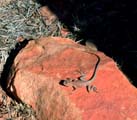
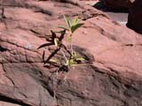
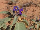
Susi once more is busy exploring the local fauna and besides
the well known finds lots of new plants to take pictures
off .....
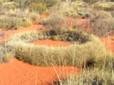
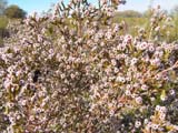

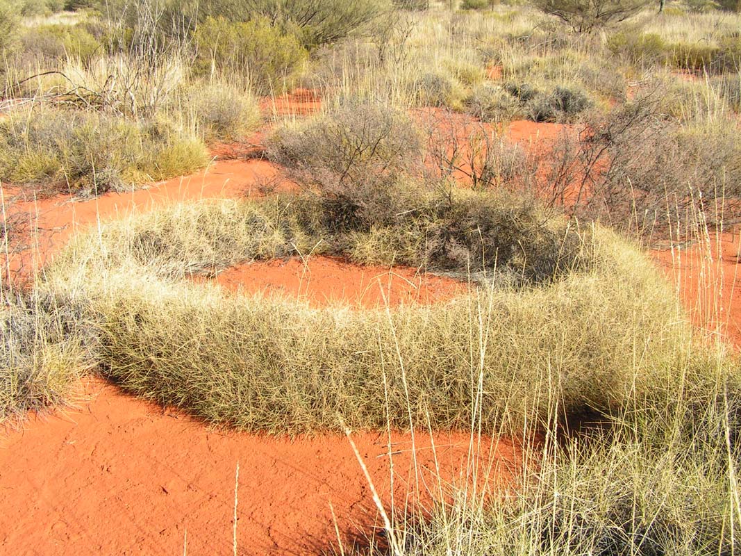
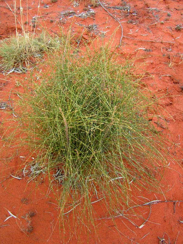
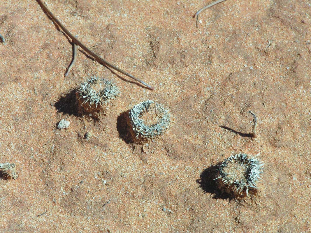
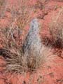
... an almost perfect Spinifex Grass Ring, Myrte,
Wattle, Spear bush and some Peas....
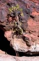
Note to the flower-enthusiast:
Where found the full name and the Latin name are available in the alt-text, move
your mouse over the picture to display it.

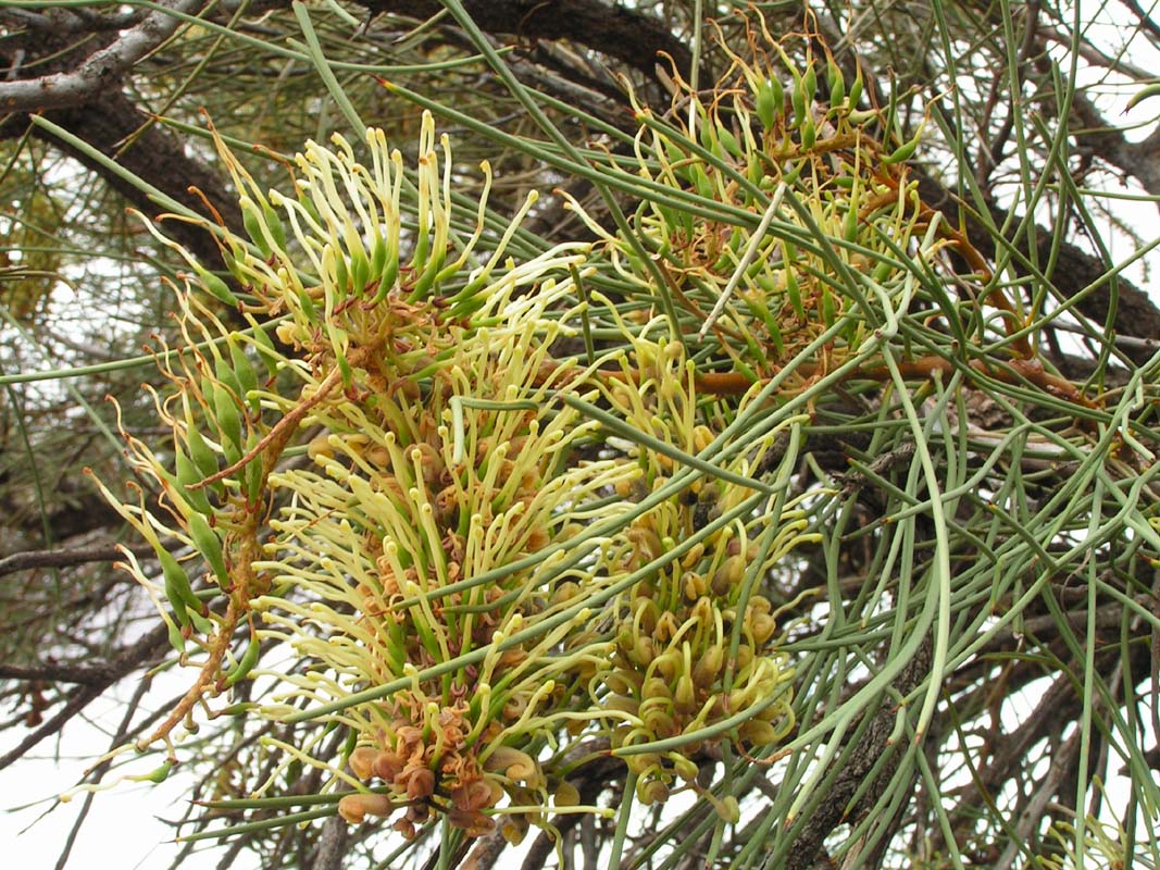
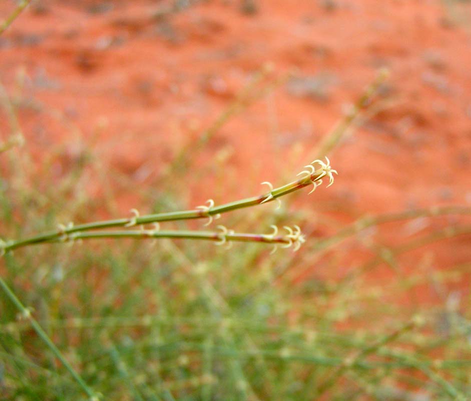
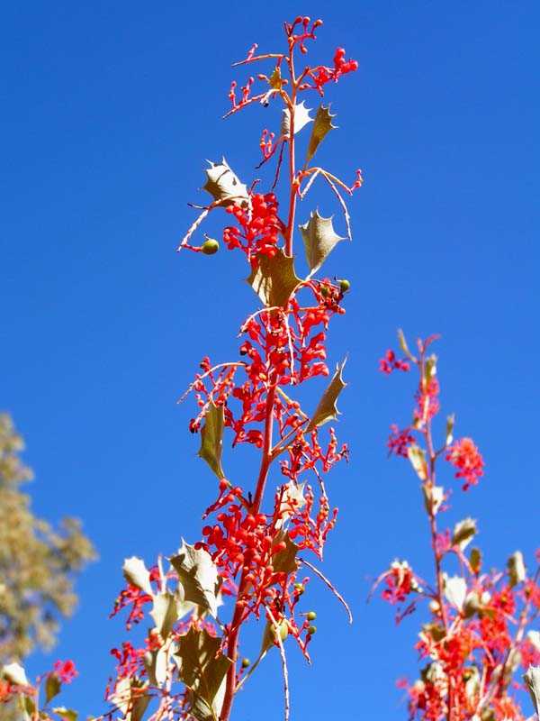
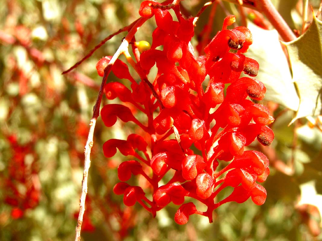
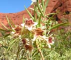
The
pods of the Rattle Pod Grevillea really sound like a rattle.

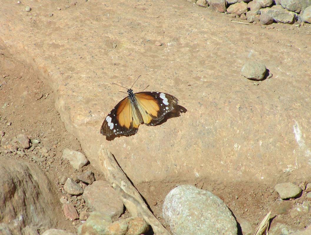
Also the animals are present.
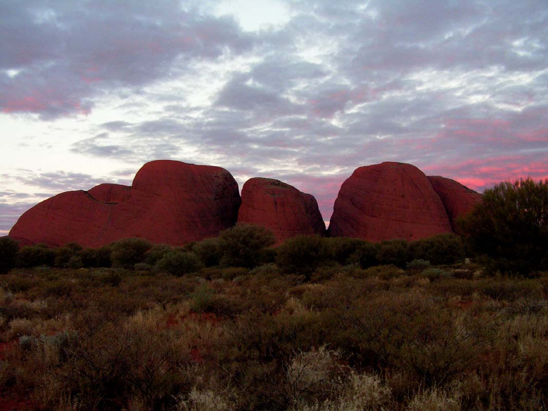
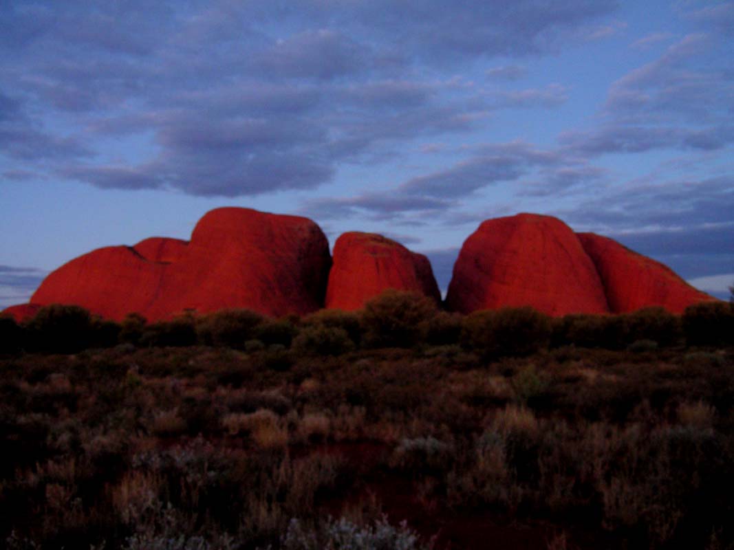
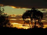
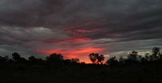
Later
on we go to the "Sunset-View" close to the Olgas.
As
Susi is busy cooking
Pizzas on the Cobb grill Guido and Judith take some of
the pictures.
Thanks for that!
After the sunset the area vacates very quickly.
The first pizza turn out really good and we enjoy
the good meal in this special and peaceful atmosphere.
But unfortunately
we cannot eat the second
Pizza
... the
ranger
compliments
us
out of
the park, as it closes at 7 PM, which means in 30 minutes
.... and we are 45 km away from the park's exit!
Since the Cobb doesn't get hot on the outside while in use,
Susi places it on her knees and we continue cooking on
our way back
to the campsite.
At the camp the Pizza is just right and despite then long
drive it is not burned. Because the Pizza was too big
and inhibited the air flow at some time the Cobb had stopped
cooking.
All's well that ends well ... especially the Pizza :-) .
Saturday turns out to be a beautiful day. Judith and Guido
decide to stay for another day at Ayers Rock, but we move
on.
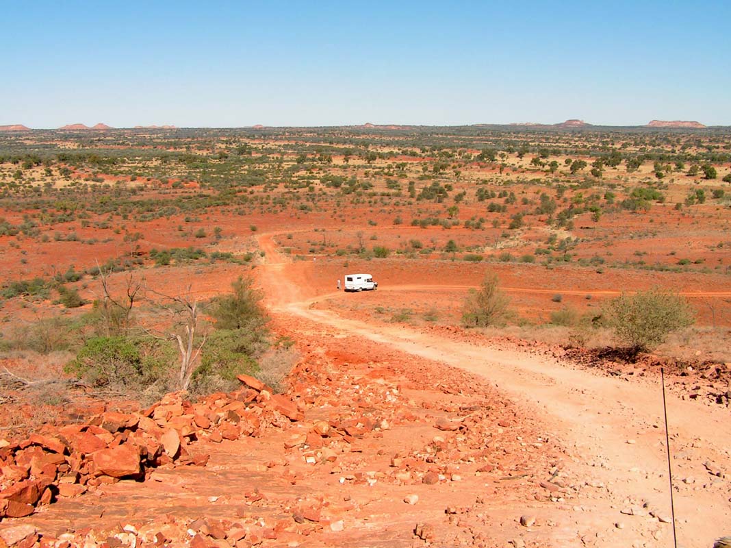
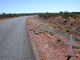
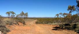
10 km
east
of
Curtin Springs the Mulga Park Road, a wide
and corrugated road, branches of in southerly direction.
Following this road will bring us as close as possible to
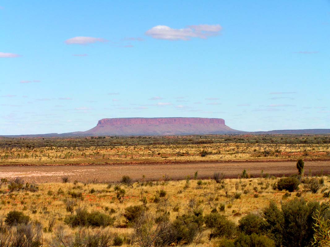
Mt. Conner. The
area around the rock is private property and closed to the
public.

Back on the Lasseter Highway after another 10 km
we reach the Mt.
Connor Lookout.
The view to the rock is as good
from here as from the Mulga Park Road.
Mt. Connor is at least as impressive and as
big as the Uluru, but it is not a monolith and as such worthless
as an
artificial pearl.
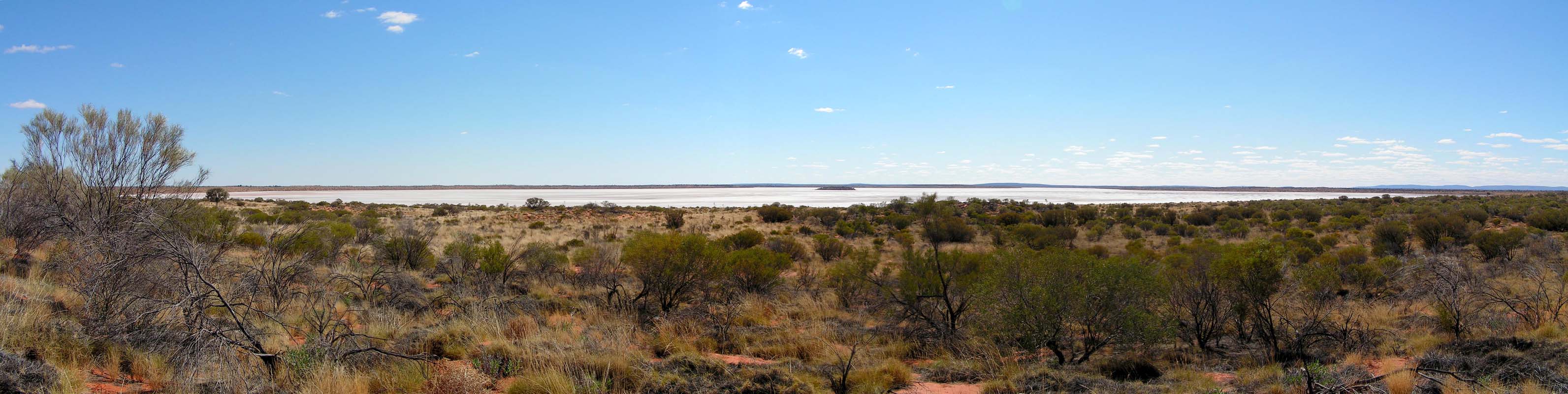
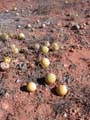
On the other side of the road of the
lookout a small hill with a
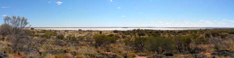
nice view of Lake Amadeus, a salt lake,
can be climbed.
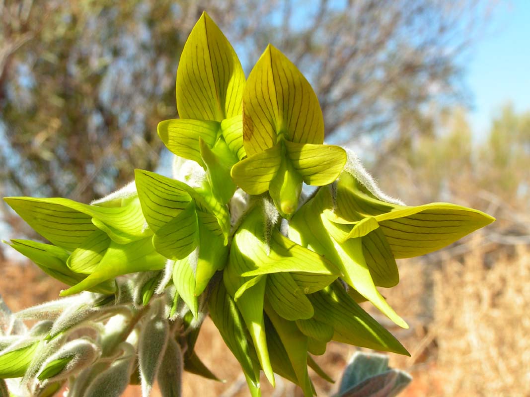
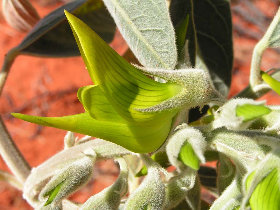
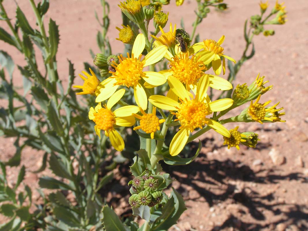
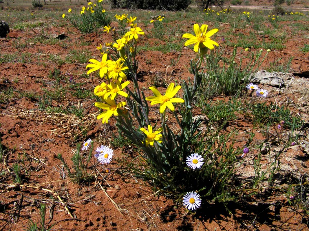
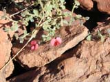
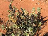
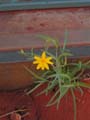
On top of the hill we find a beautiful Parrot pea. Its
yellow-green flowers look like a bird.
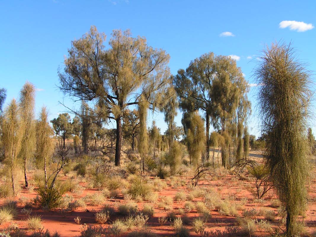
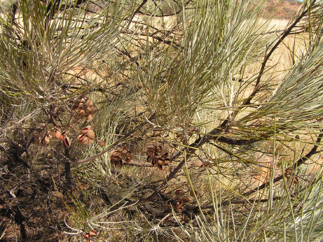
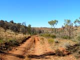
Shortly after the lookout we take the Luratja Road north
where we have the opportunity to study the different stages
of growing Desert Oaks.
Desert Oaks have nothing
in common with ordinary Oaks; the name has been chosen because
their wood is very
similar.


A young Desert Oak looks like a bush consisting of stalks
with hooks on them.
Later on in the middle of the bush a
stem grows, the stalks now being attached to it.
Years later, when the trunk is strong enough,
a "standard" treetop with branches develops. The
stalks now hang down from the branches.
At the same time
the tree
drops its stalks along the trunk and builds a cork-like
bark.
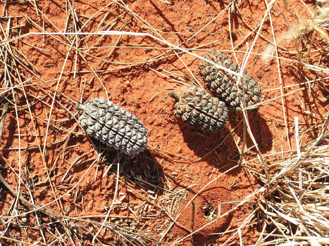
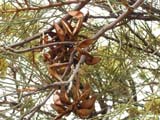
The seed capsules have the form of cones.
Very interesting.
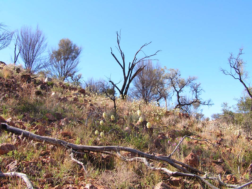
But nature has even more beautiful and interesting things
to offer ...
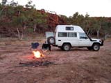
We continue to the intersection with the Ernest
Giles Road where we stay out-bush for the night.
A real bushman of course also sleeps under prickly Desert
Oaks!!
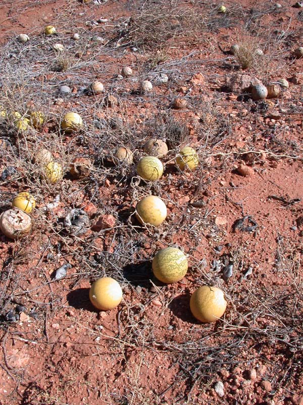
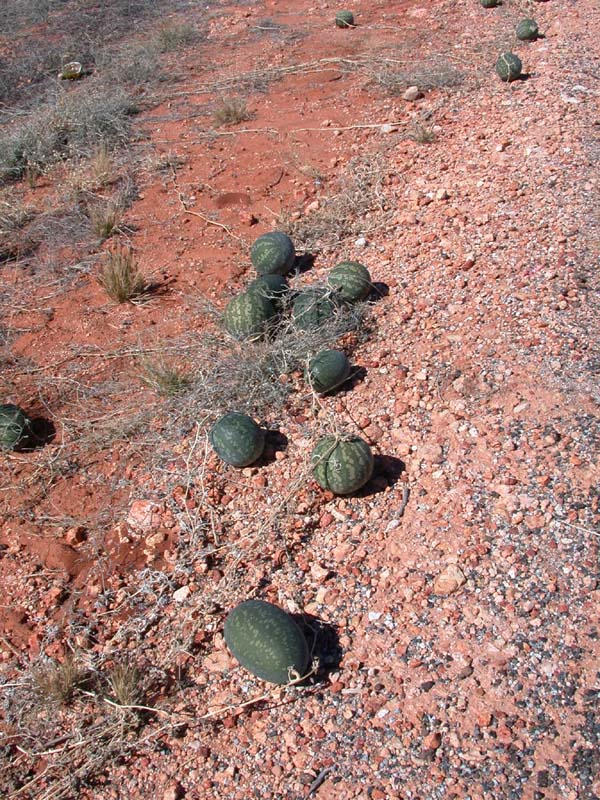
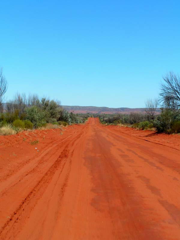
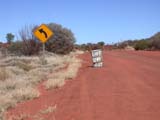
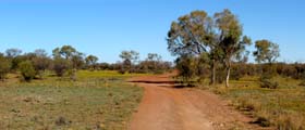
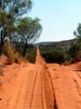
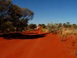
On Sunday, July 23, we go further west on the Luratja Road.
Up to now we have only driven on bitumen.
  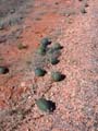
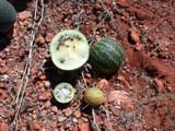
Along the side of the road we see lots of Paddy and
Camel- or Bitter-Melons.
All these melon mainly consist of water, but they
are all poisonous, very bitter, or even both.
The plants
have been brought into Australia in the saddle blankets
of the Afghani camel drovers.
On our way we deviate to the nearby
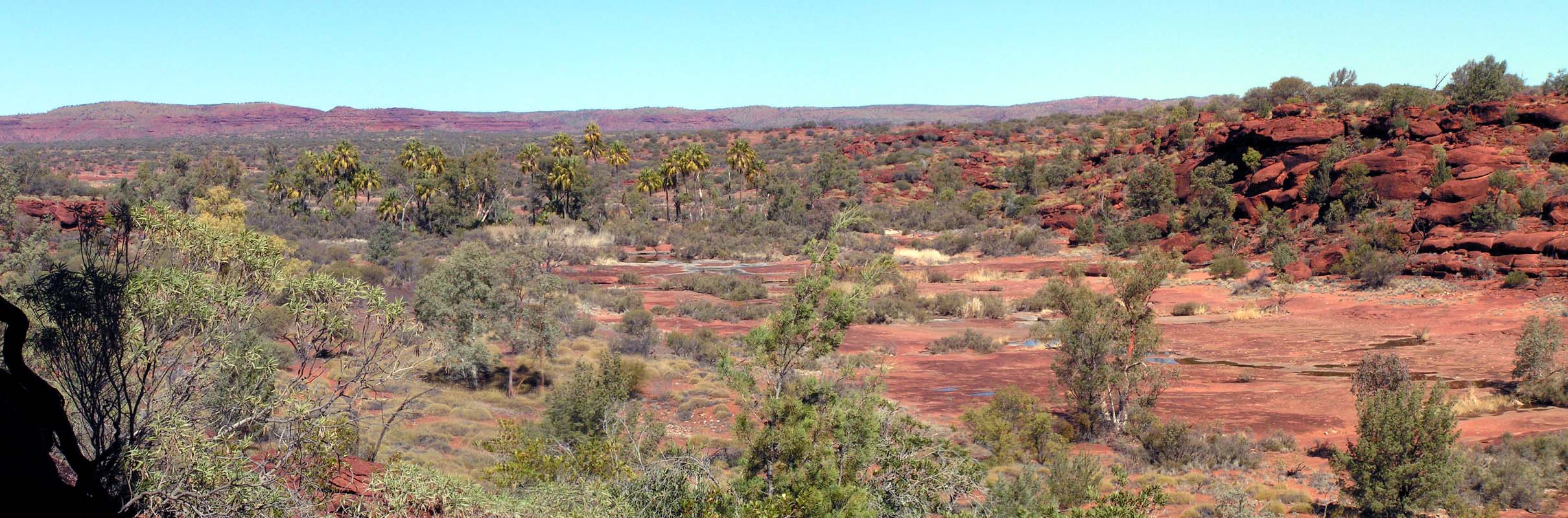
Kathleen
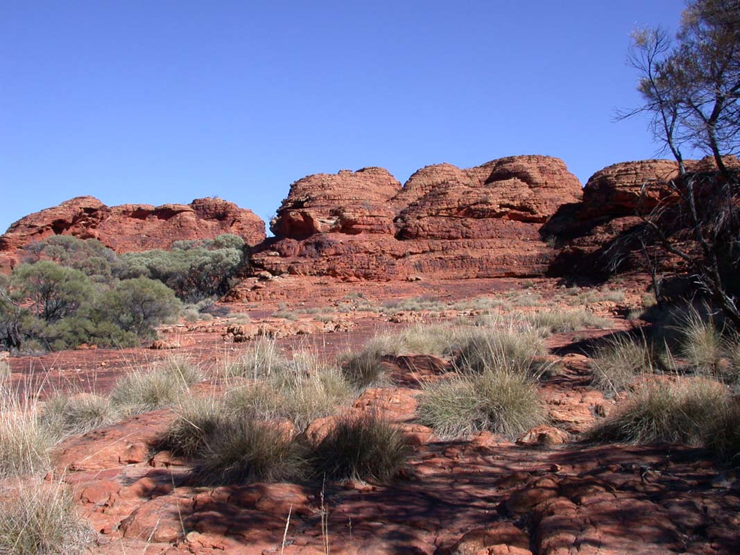
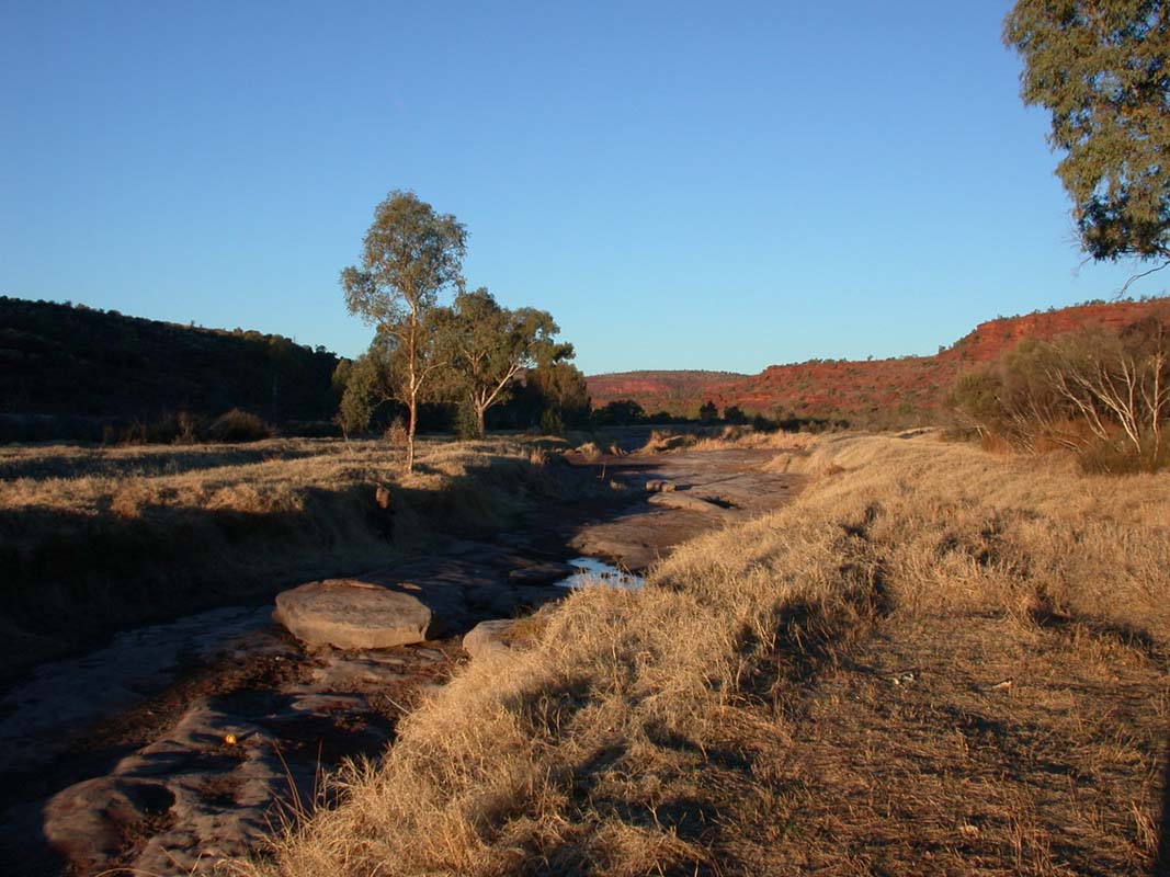
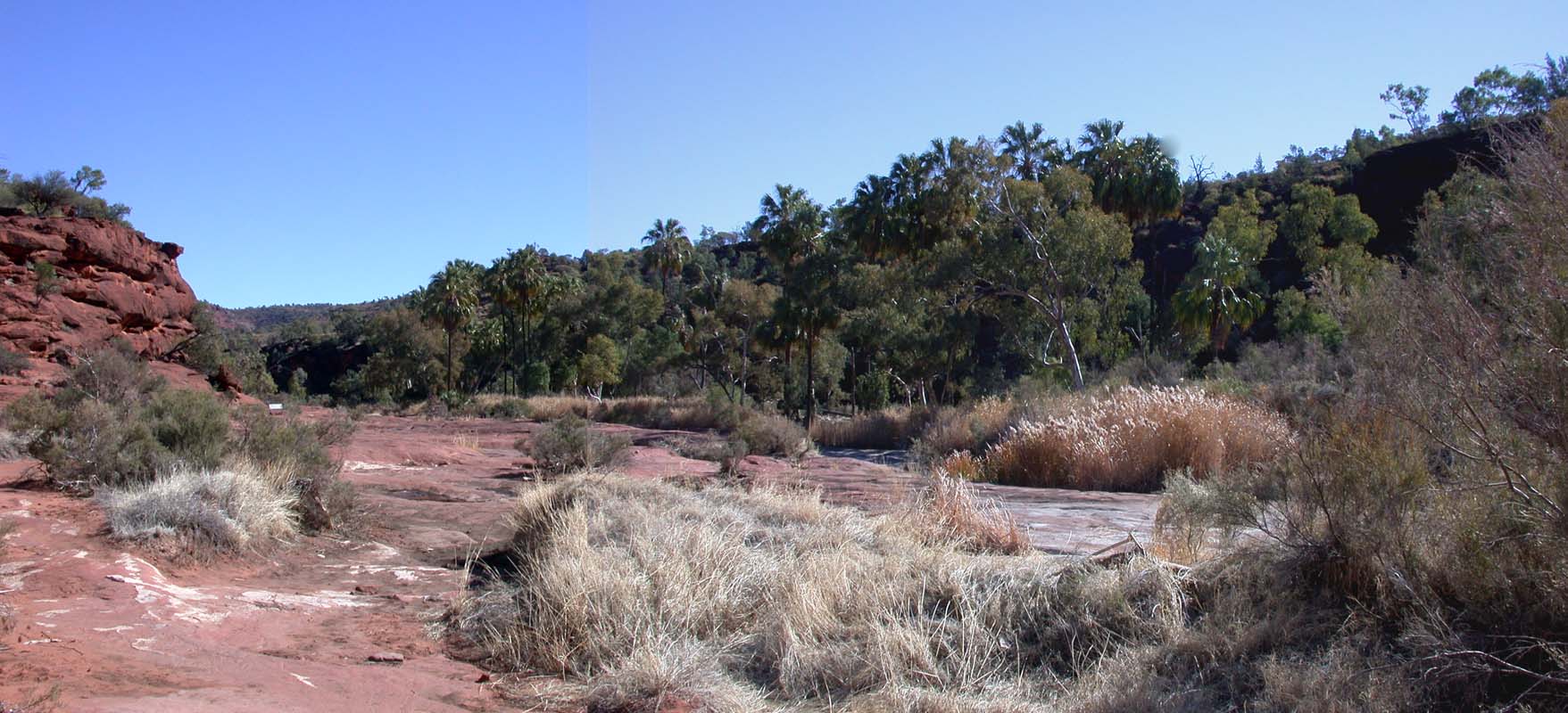
Springs and reach the Kings Canyon Resort in the early afternoon.
We go to the departure point of all
of the park's hikes (including a 2-day hike in easterly
direction towards the Kathleen Springs and the
King Creek Caravan Park) and do the Kings Creek
Walk,
which leads into the Canyon.
There we encounter something rather
strange:
Some bushes
have branches with multi-edged leaves with small thorns
at the edges.
The same bushes also have branches with completely
different,
needle-like leaves.
They look like grafted ....

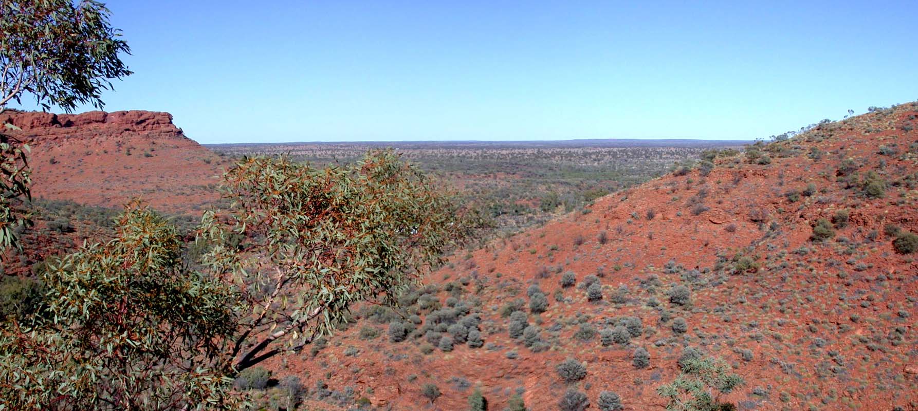
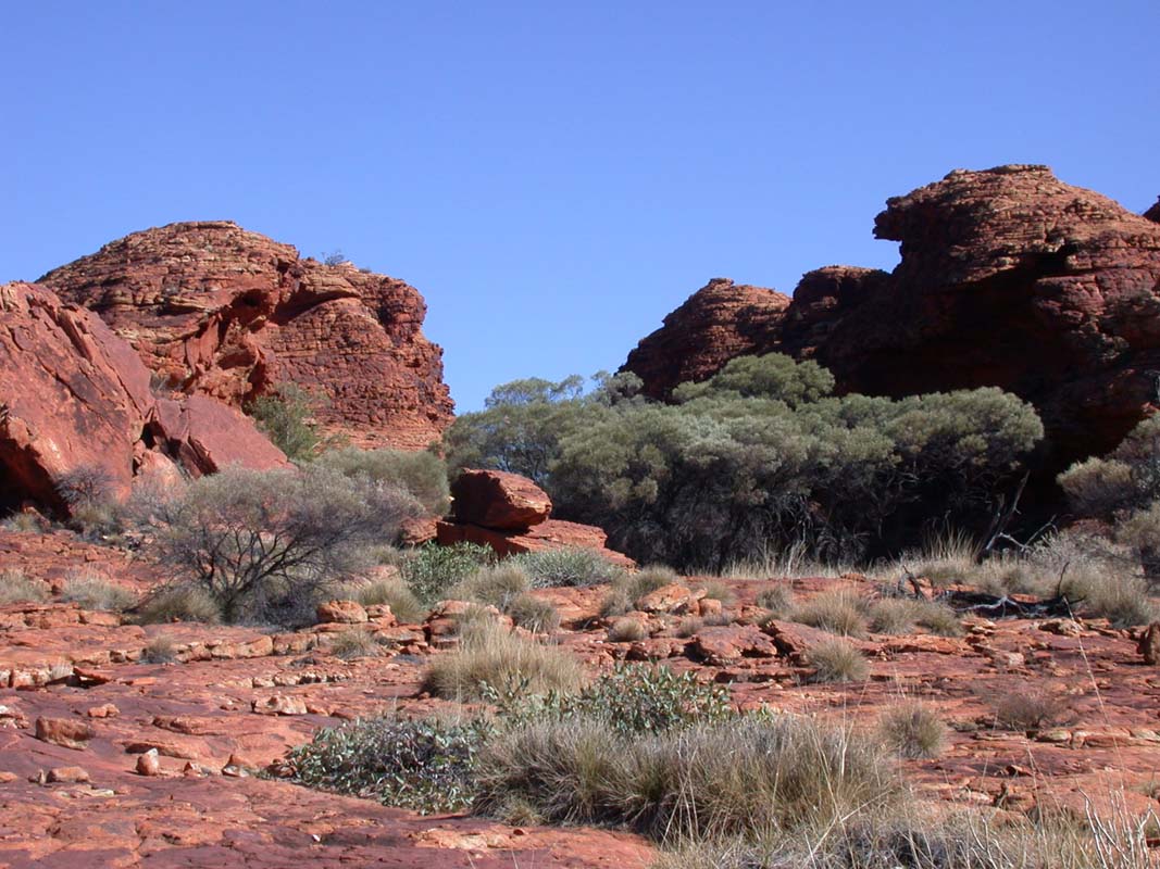
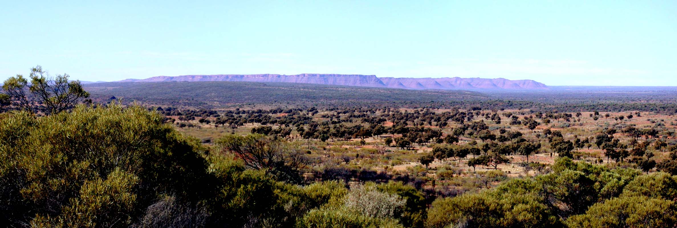
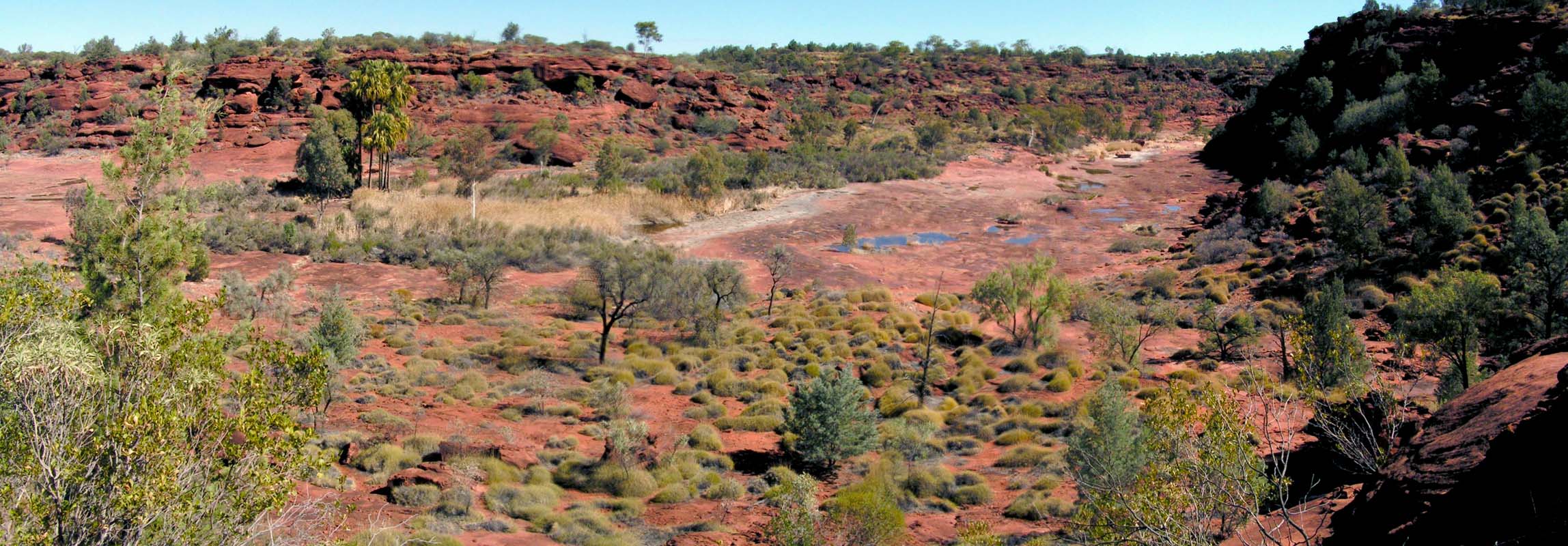
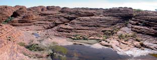
At the end of the walk there is a viewing platform where we can see
further into the pretty, but not spectacular, canyon.
The upper part
of the canyon is classified as an Aboriginal sacred site
and closed of to ordinary people like us.
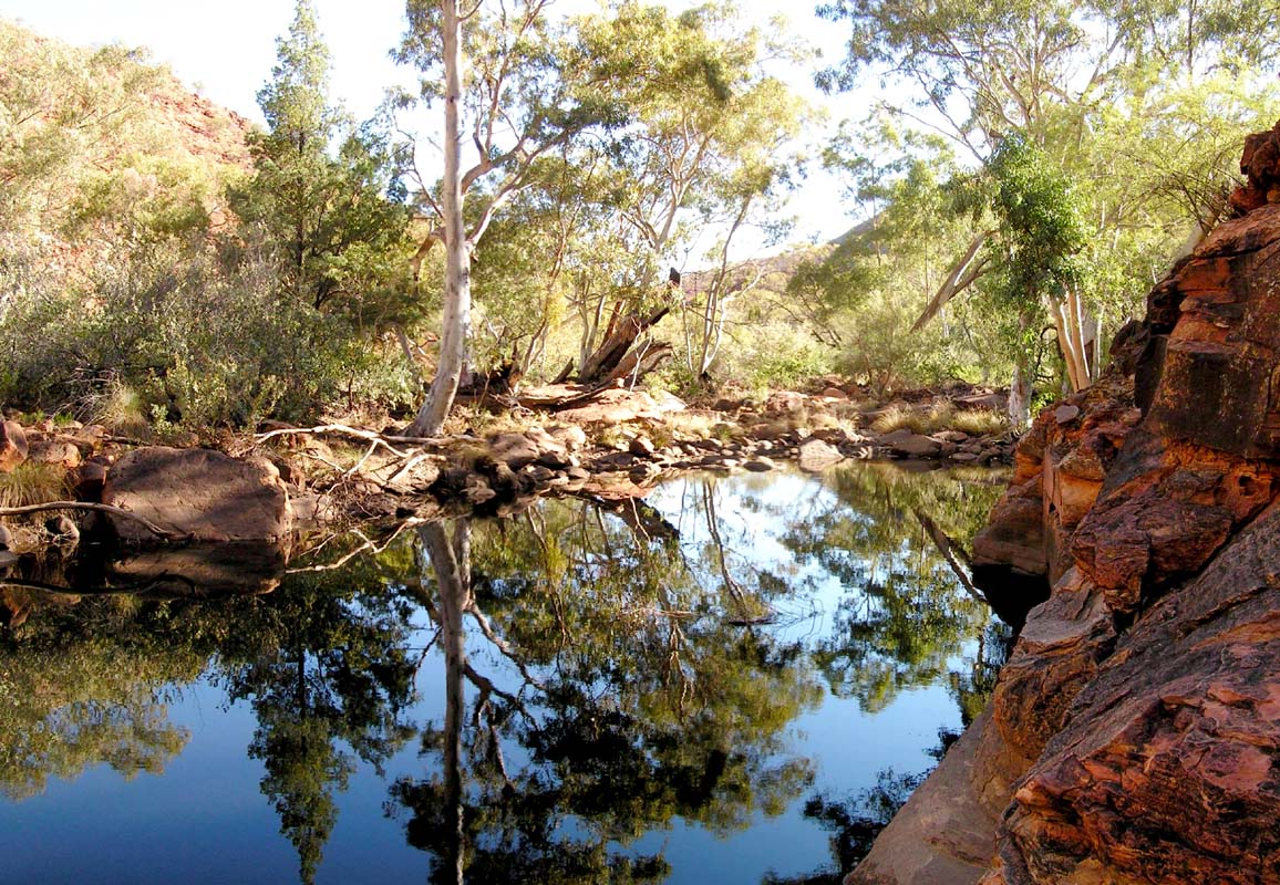
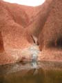
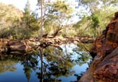
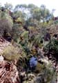
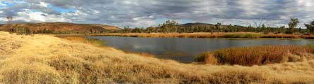
Near the upper
end of the walk we find a nice billabong beside the trail.
It's a nice spot to relax and to listen to the birds.

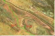
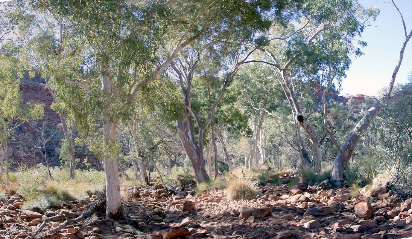
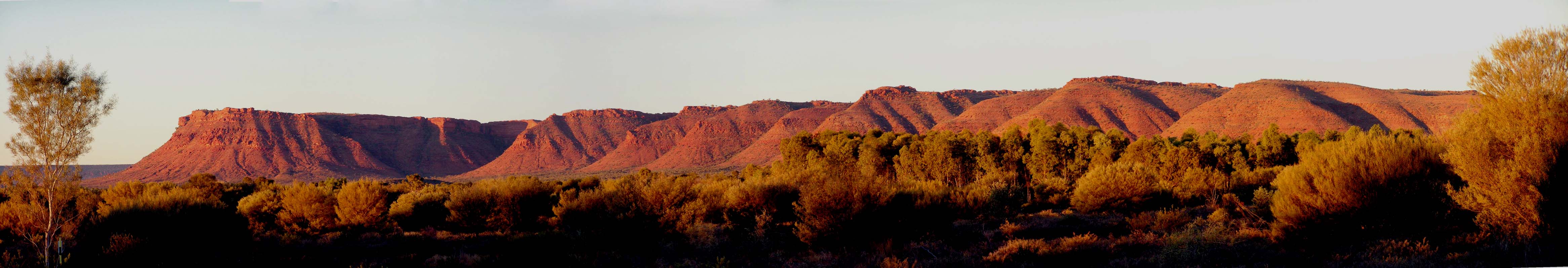
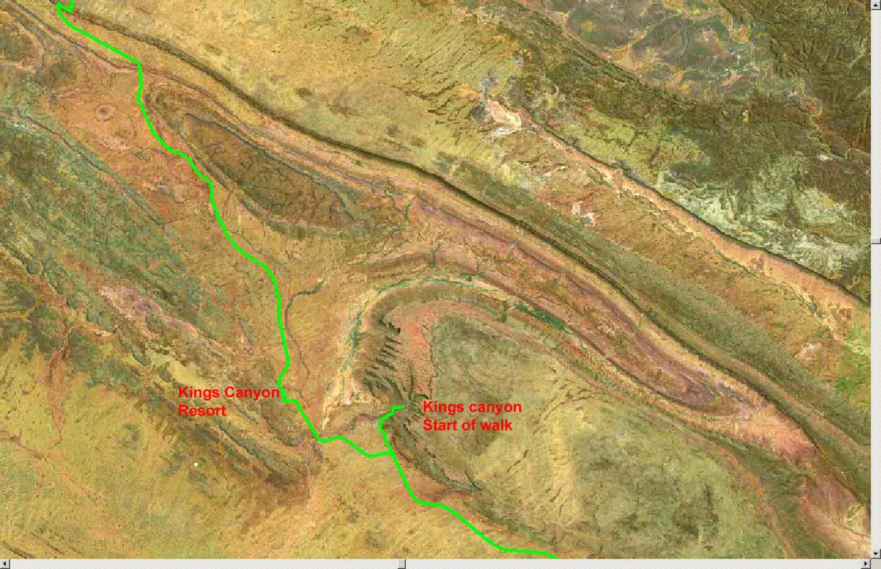
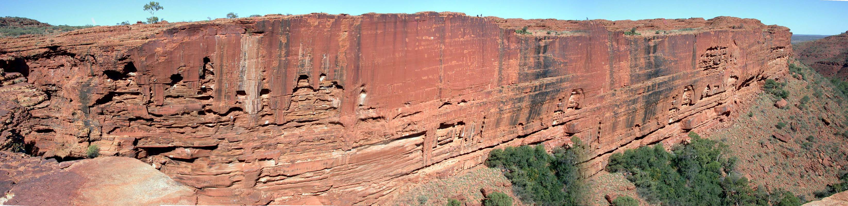
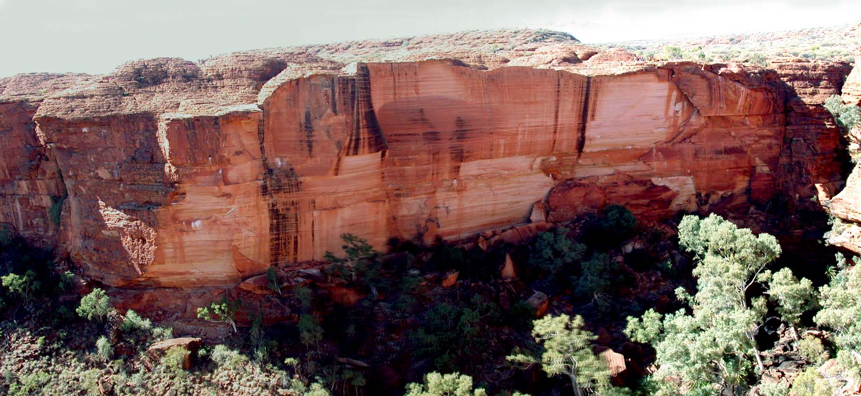
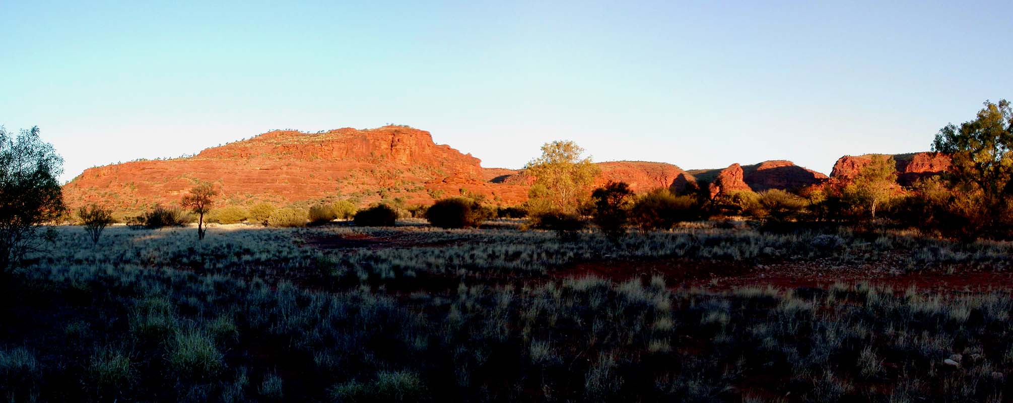
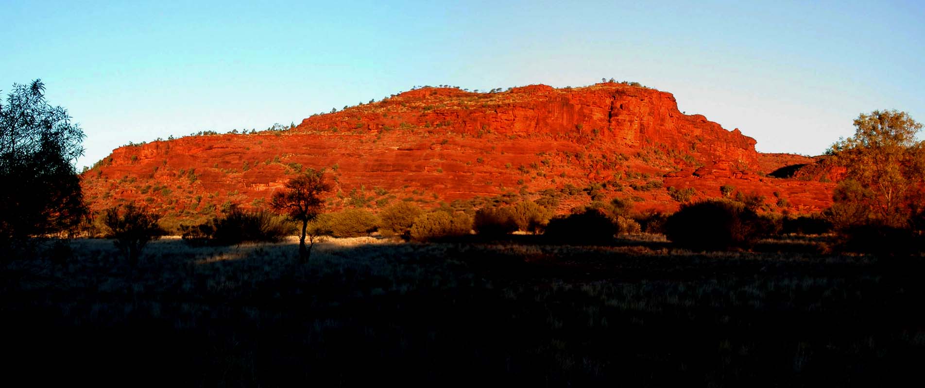
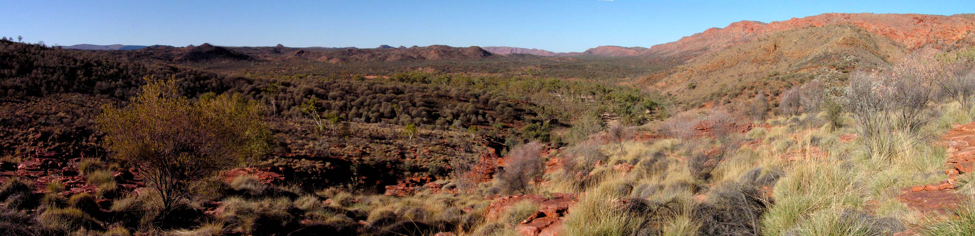
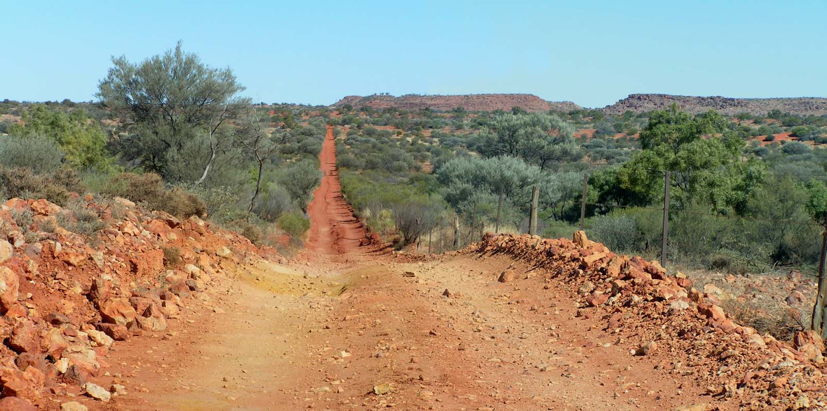
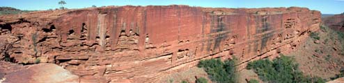
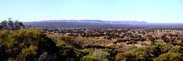
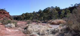
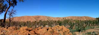
The photo above has been taken from the caravan park
and shows the well known view of
the range which is part of the Watarrka
National Park.
Even if it may disappoint
many others who have taken the same
shot .... the Kings Canyon is not part
of the picture, as it is further to the
right as one can see on the satellite
image above.
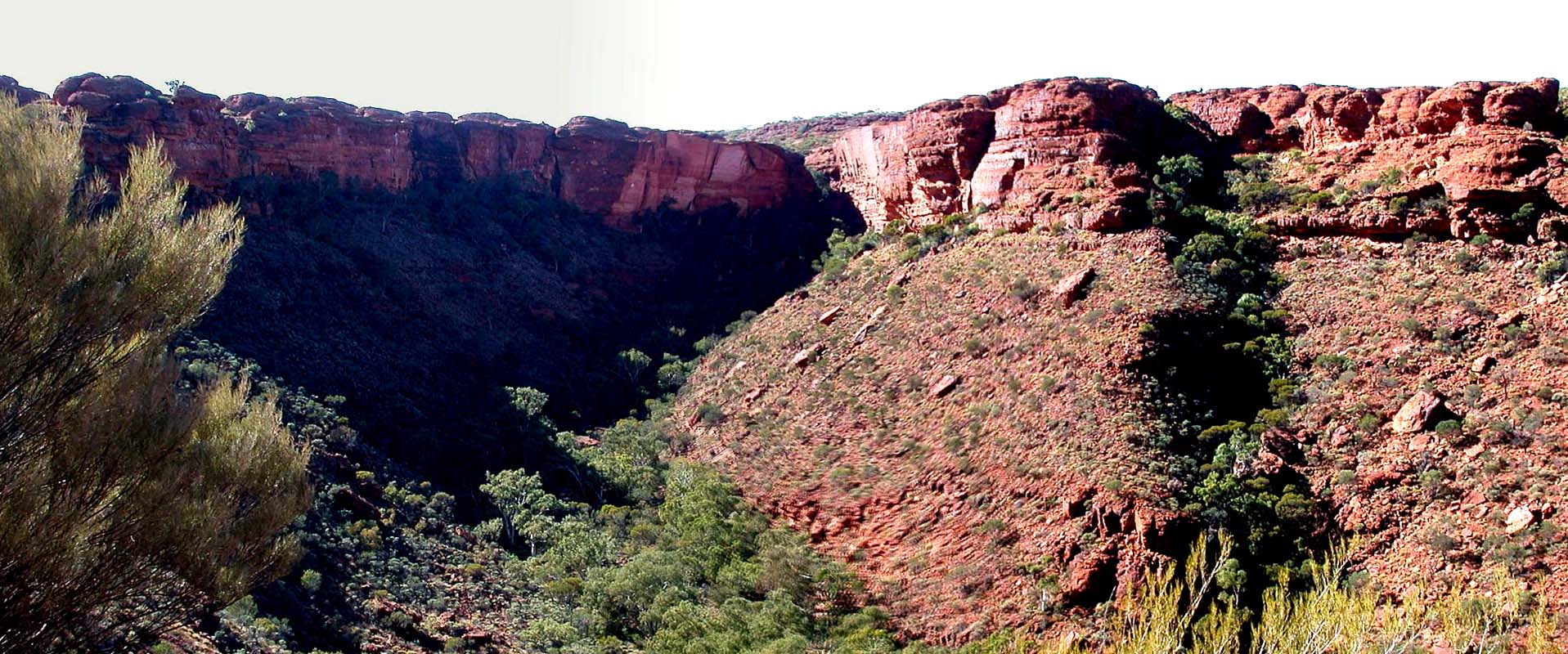
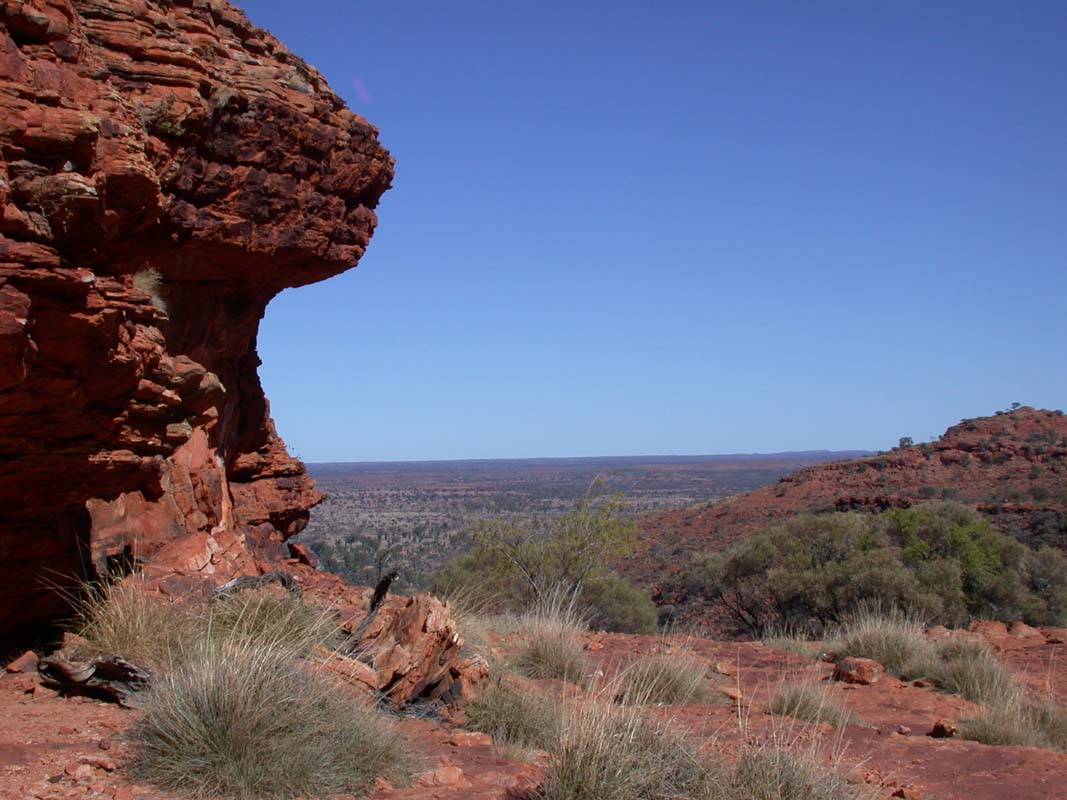
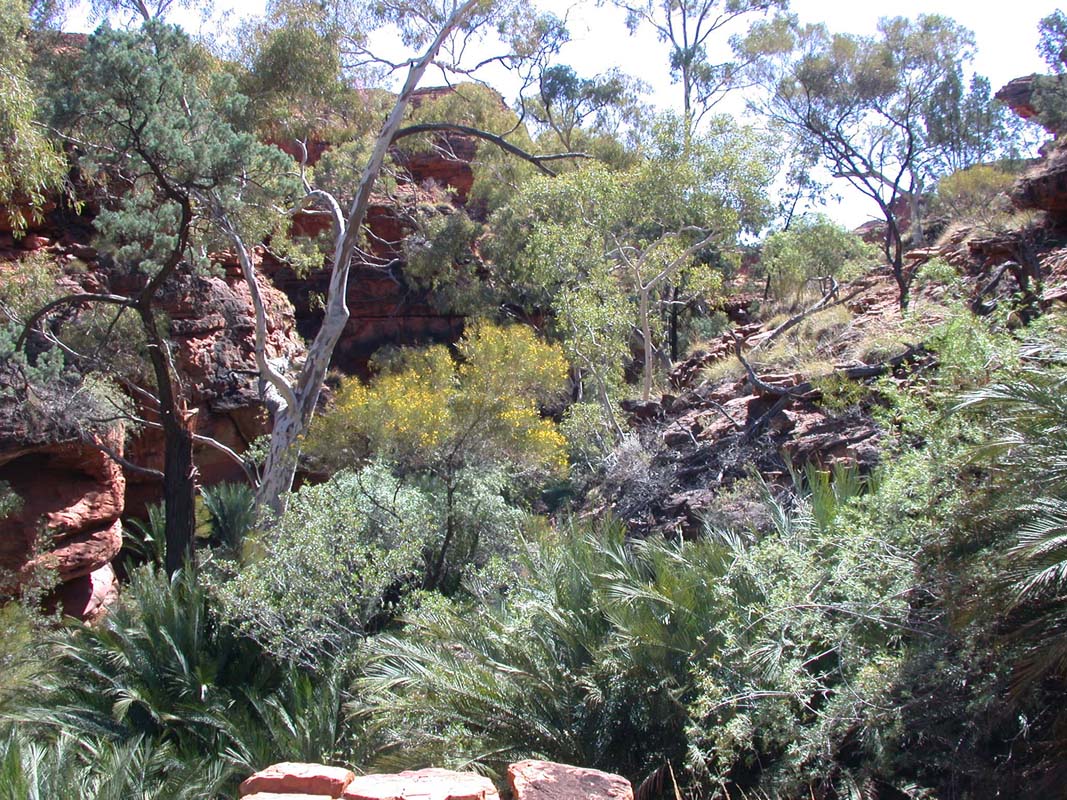
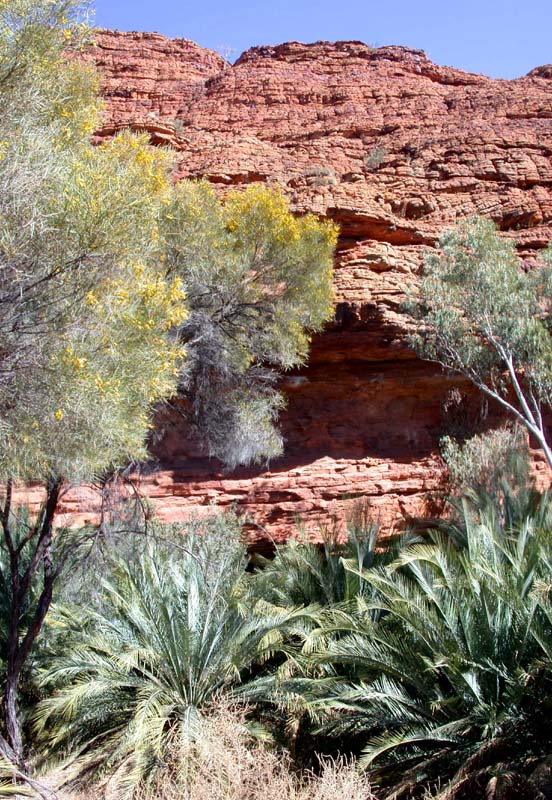
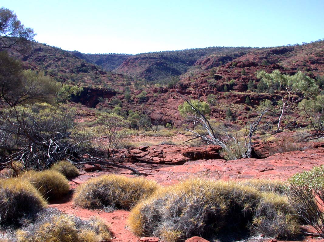
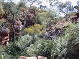
On Monday we start early to our hike around the edge
of the Kings Canyon.
The ascend is a bit steep and best done
in the early morning hours. Additionally
it has less other tourists at this time.
The hike is for sure one of the highlights
around Alice Springs.
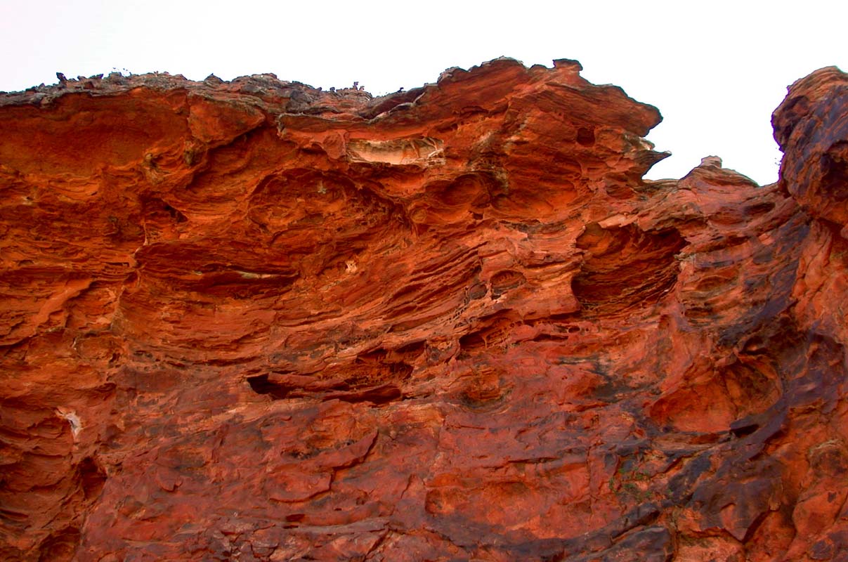
Our Camera is at
its limit with the bright sunlight and
the shadows in the canyon. It is just
unable to handle the extreme contrast,
but never less (thanks
to Photoshop) let the pictures "tell"
about the beauty ....
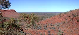
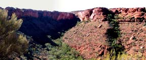
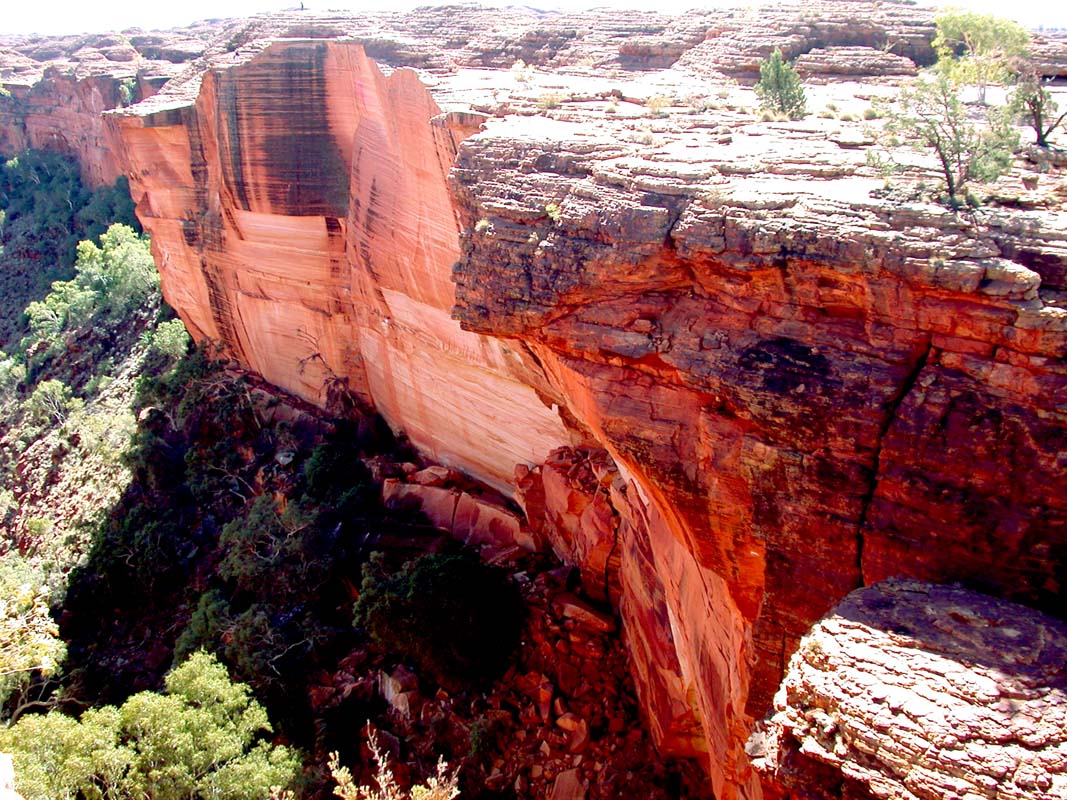
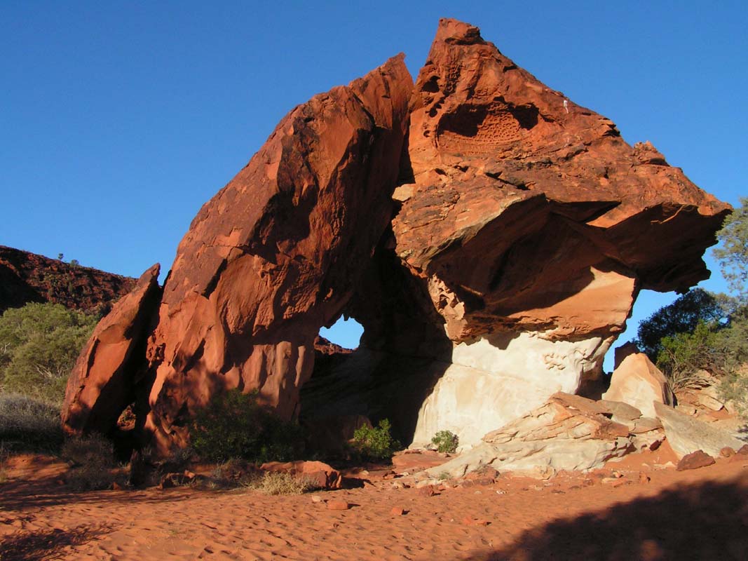
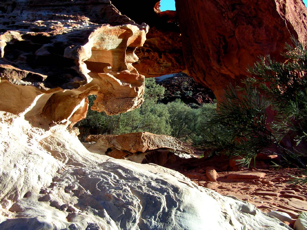
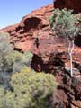
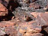
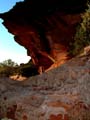
The view out of, and into the canyon ....
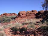


.... the "Lost City" with its interesting rock
formations ...

.... the plants which try to survive in this harsh environment
....
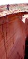
.... the astonishing view into the canyon from this side
(without any security railings and warning signs) ....
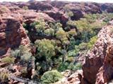

.... the "Garden of Eden" at the end of the canyon
...
 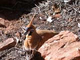
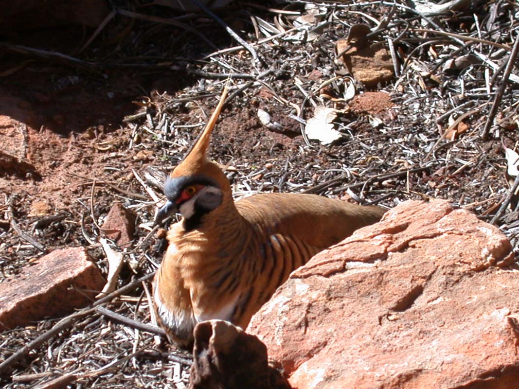
.... the "Spinifex pigeons" (Petrophassa Plumifera)
and the Dragon enjoying the heat in the dense sunlight
....

.... the rock face seen from the other side of the canyon
....
.... and finally the descend through the pancake rock
formations.
It's just beautiful!!
After all the hiking, Judith
und Guido invite us to a superb diner at the buffet in
the hotel of the resort.
Thanks for the yummy dinner!
We can make good use of the food as we have no heating in
the Dude and the night gets very cold with only 6°C.
On Tuesday, July 25, we continue on the Mereenie
Loop,
for which we get the permit on the reception of Kings Canyon
Resort.
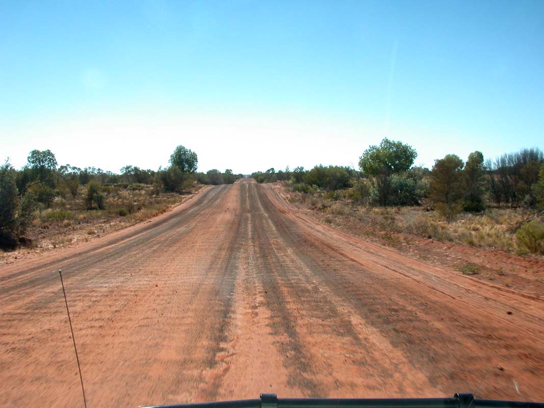
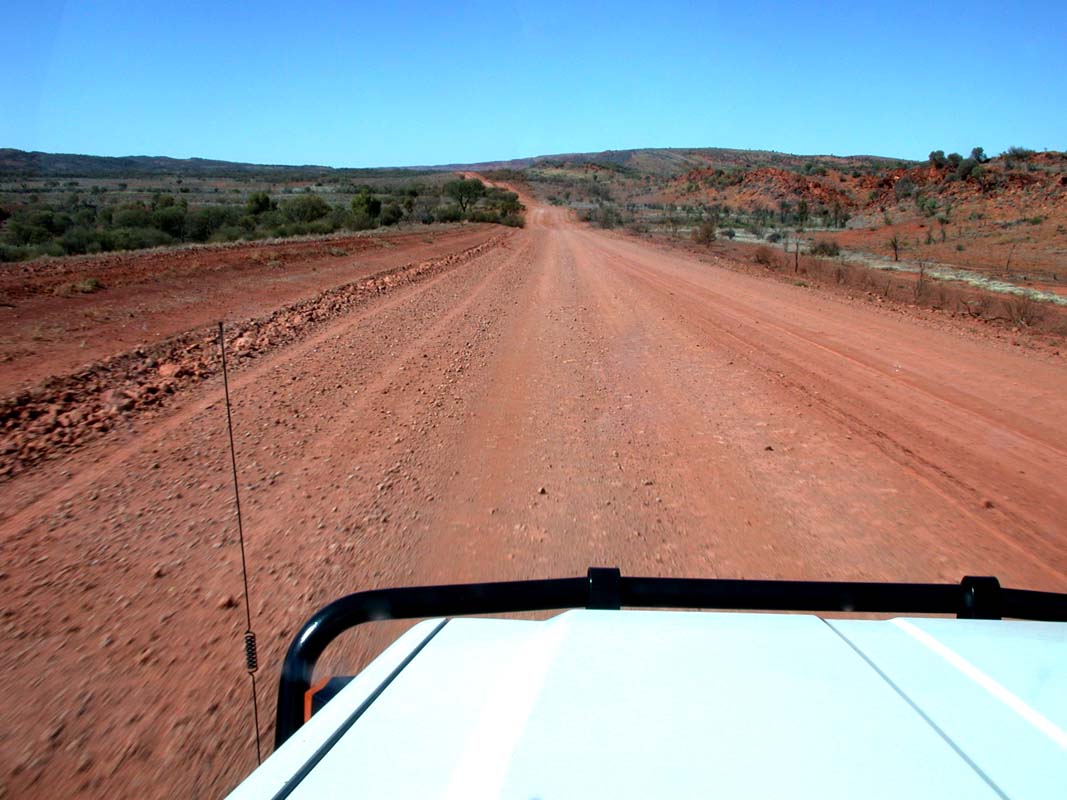
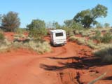
We drive on a gravel road for the first time this year
- finally!
Due to the recent rainfalls the country is quite
green.


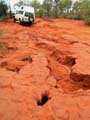
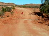
At certain places the corrugation nearly rattles the teeth
out of our faces.
Especially in the creeks there are a lot
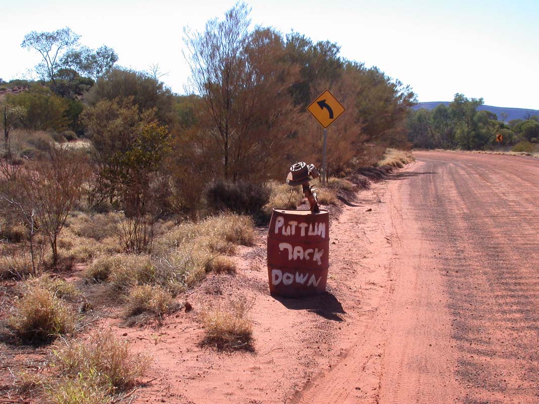
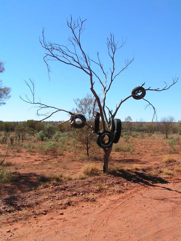
of washouts!
Amusing are the warning signs before and after
a creek:
"Lift
um foot" and
"Put um back down" and also
the trophies on a tree along the road.
Typically Australia.
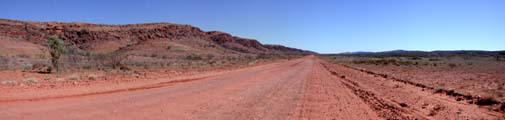

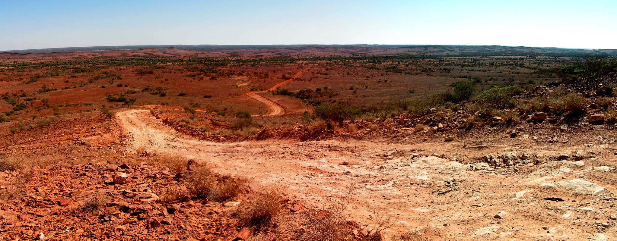
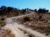
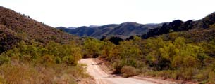
Driving along the Mereenie Loop is more varied then one would expect
by looking at the map.
Since the road traverses Aboriginal Land, we are not
allowed to stop along the road, except on one specific
lookout.
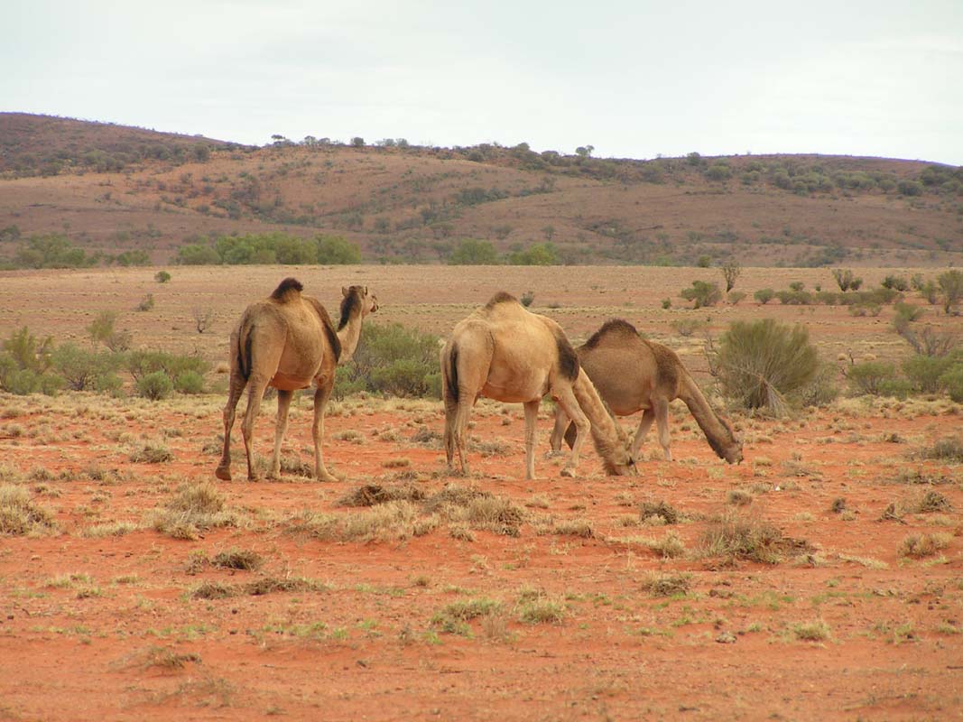
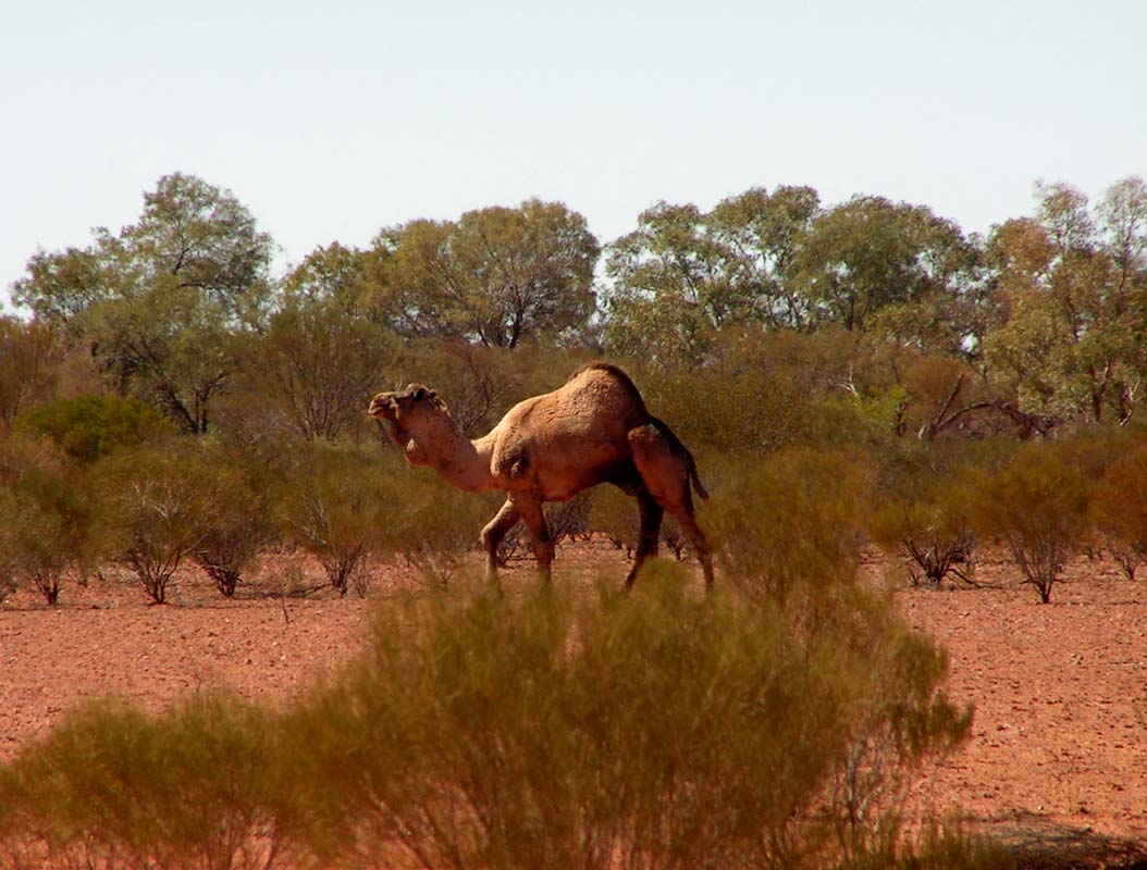
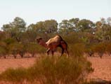
Along the way we see lots of donkies, camels (actually
they are dromedaries ...) and brumbies (small wild horses).
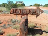  
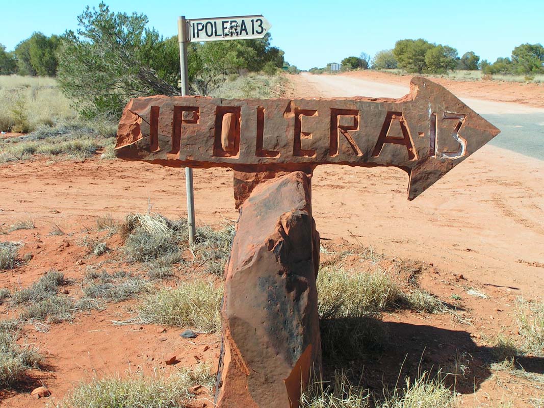
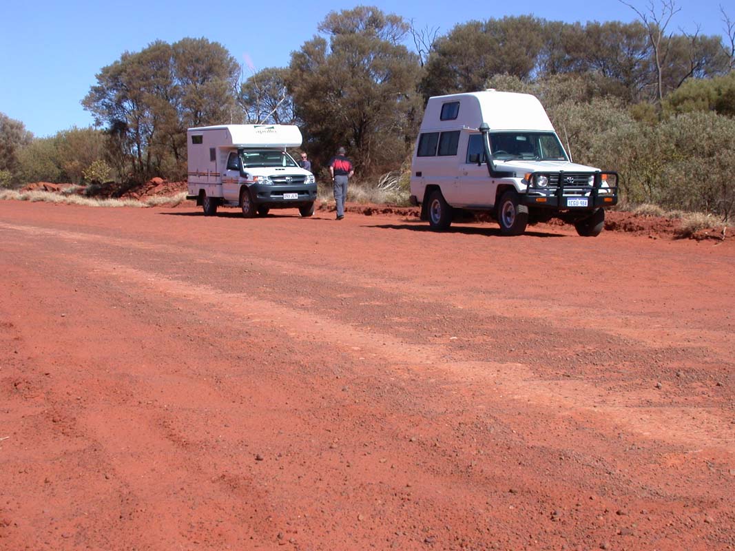
At the intersection to Ipolera, at the end of the Loop, we stop for
lunch. The corrugation has obviously also helped the
Bushcampers digestion ....
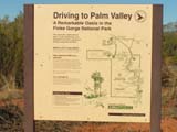  
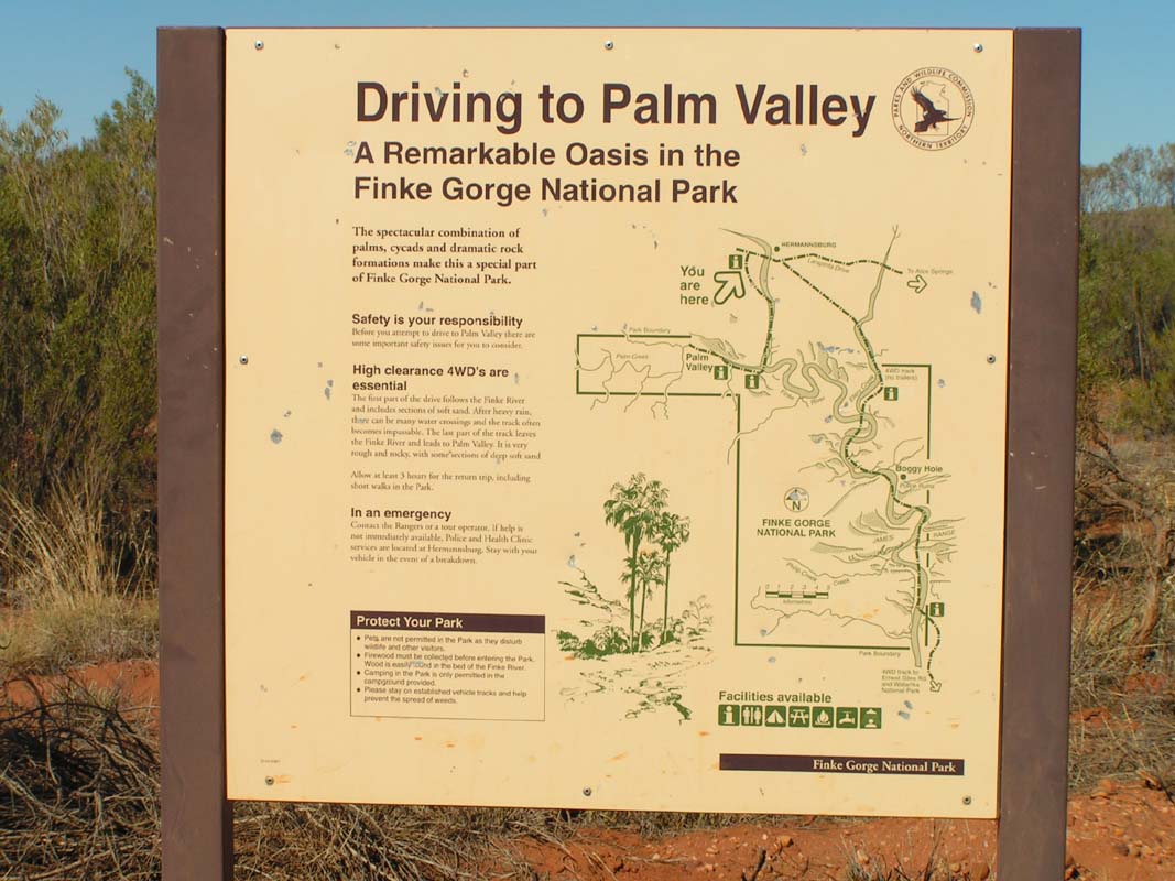
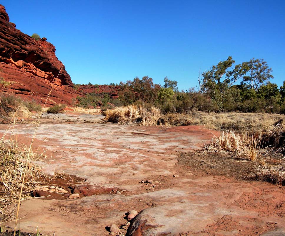
In the afternoon we reach the entry to the Palm Valley in the Finke
River National Park and proceed on the 4WD track to the
state camp.
The track is in much better condition as
1995. Back then a female friend from work had stated
that next time when driving this track she would wear 2 sport
bras!
The campsite is at a nice spot.
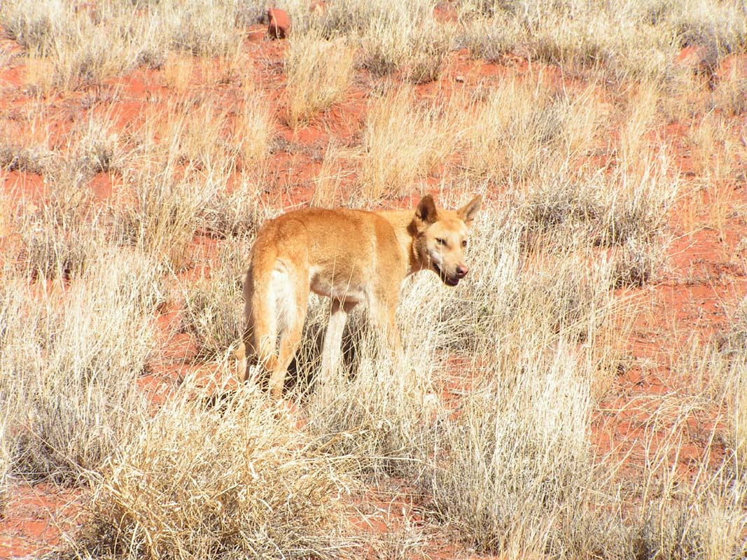
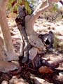
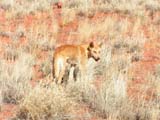
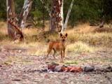
Where there are tourists, there are most likely also
Dingos (feral dogs, not to be confused with dogs that
have become wild) to be found.
If the people start feeding
them, they soon get aggressive against the ones not
feeding them.
By then they have to be shut dead. This
will soon be the destiny of this fellow,
but this one is also sick.
On Wednesday, hiking is on the "activities"-list.
This is great, as
we are in desperate need of some exercise, with our
joints have been frozen over night with only 3°C inside temperature.
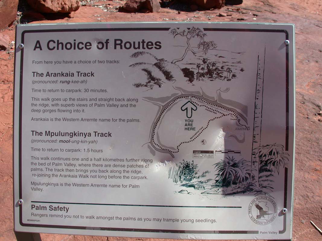
We head off to the start of the
hike through the Palm Valley.


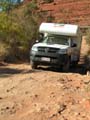
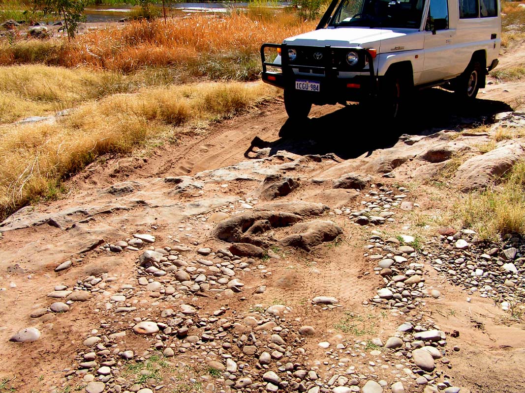
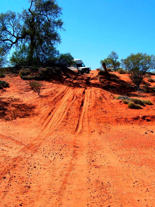
The last 5 km of the track to the start of the hike are
still demanding and interesting to drive.
One requires about 20 minutes for the ride, has to climb
over moderate rocks and has to pass some easy, sandy patches.
We
enjoy it :-))
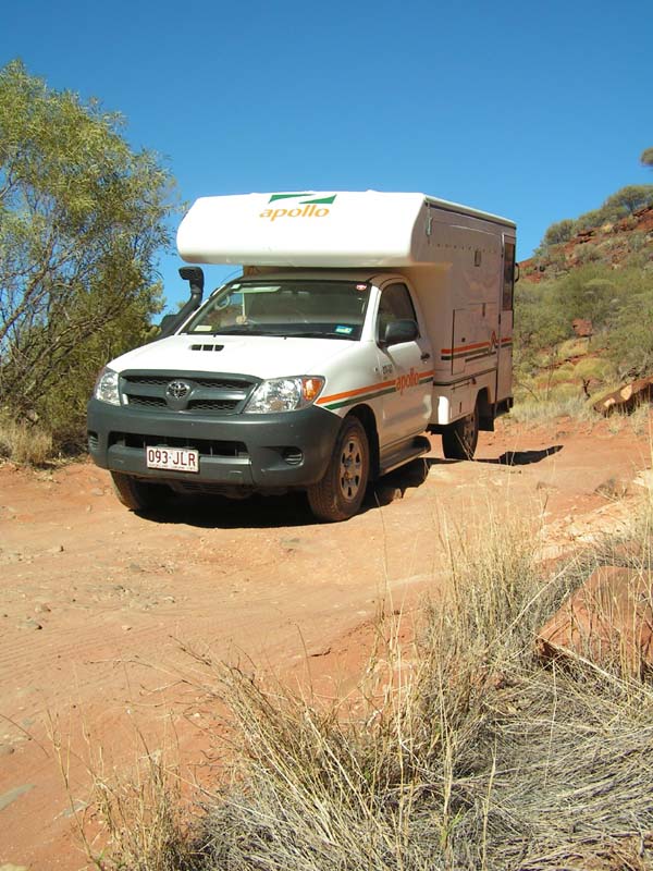
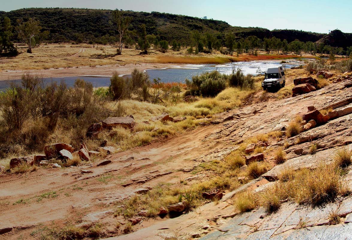
The Palm Valley is Guido's first experience on a 4WD track.
He manages all the difficulties perfectly and even has to
help a French tourist who is stuck in the sand.
He has
to tell him, that his car only works in 4WD
if, besides activating the 4WD lever, also the free-wheeling
hubs on the front axle are engaged.
The Austrian guy
that also was assisting, could not get the car out of its
bog.
After Guido's instructions
the "Fenchie" drives on easily.
Judith is very proud of her driver.
Good on you, Guido!
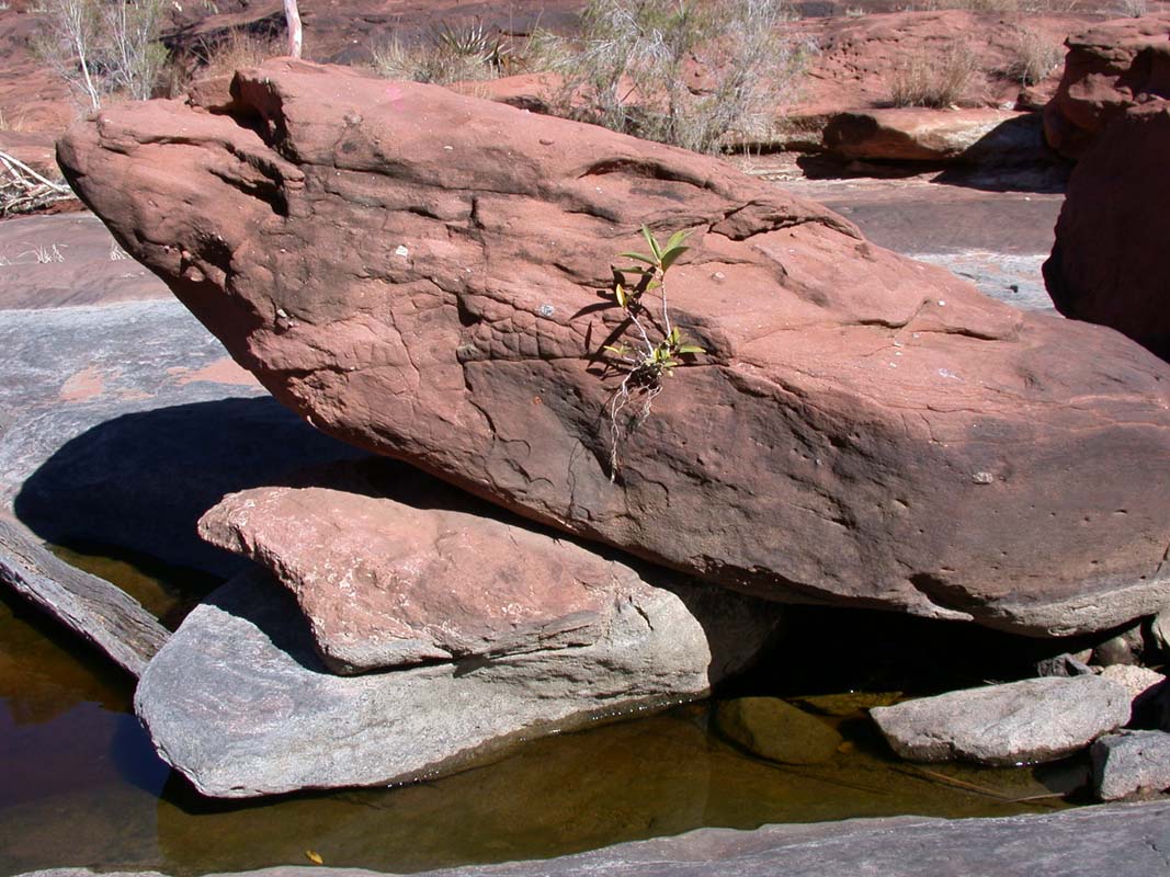
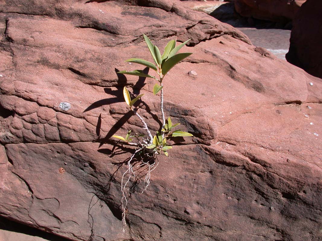
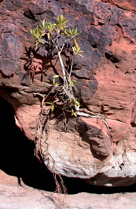
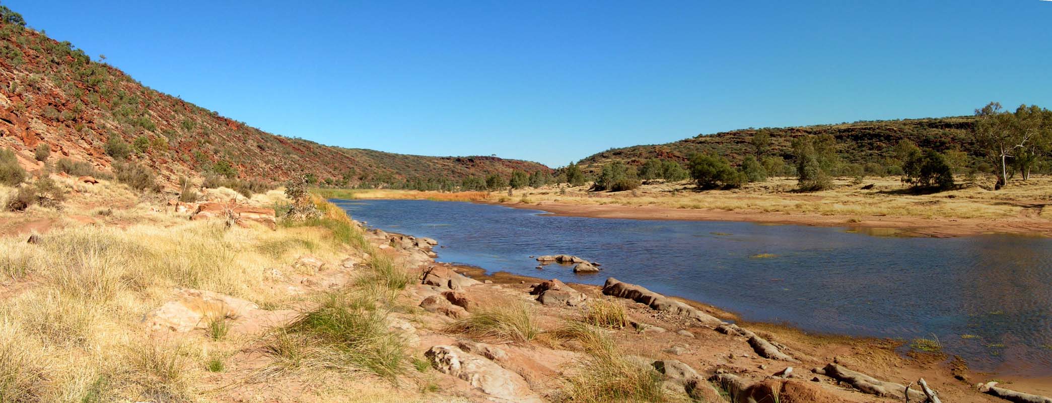
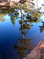
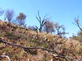
There is still lots of water in the valley.
Nevertheless
some plants fight in the environment.

After the ascent out of the valley all our limbs are defrosted
form the night.
The trail on the plain has been altered since 1995 which
confused us a bit.
For us, the Palm Valley is still a highlight.
Hopefully the
Track to the valley stays a "4WD only" destination
and doesn't get graded or even tared!
We visit the ranger station to get details on the notorious
Boggy Hole Track which is also part of the Finke National
Park.
We intend to drive along that difficult track tomorrow,
while Judith and Guido visit the West MacDonnell Ranges
on the Larapinta Drive.
Guido is not allowed to drive the
Boggy Hole Track in his rented camper.
We will meet again
on August 1 on the campsite in Alice Springs.
Besides the information regarding the track conditions,
we also get an invitation to work for some time in the
park
as volunteer rangers.
This is a very attractive offer,
as this would allow us to get a closer look into the
park.
It
would also give us the possibilities to see parts of the
park that are normally closed to the public.
As volunteer
ranger one can learn a lot and can help on various jobs,
such as
animal
counting, track control, cleaning the campsite etc.
Before we head of in the morning we inspect the car and
find that the bush of the 4WD-lever has fallen out of the
transfer case and that we lose oil from the transfer case.
Also dust can now easily enter the transfer case.
We cautiously
force the bush back into its normal position and now head
for Alice Springs instead of the Boggy Hole to get the damage
fixed.
Before we leave we inform the rangers about the plan
change, so they don't expect to see us on the track.
Already the next day we can bring the Land Cruiser to
Repco for repairs.
But once again the repairs we
made
out-bush
were
of
such good quality,
that they can't force the fault anymore.
Nevertheless they
take the bush out and glue it back in.
Once more we stay over night on the superbly managed
MacDonnell Ranges Holiday Park (Big4).
Since the repair was done so quickly, on Friday we try again
to drive the Boggy Hole Track.
We should have plenty of time until August 1.
We leave Alice
Springs in the morning, drive south on the Stuart Hwy, branch
into the Ernest
Giles
Road and visit the Henbury Meteorite
Craters Conservation Area.
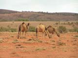
Here we see wild camels.
At Rogers Pass shortly before
the Palmer River we turn right towards Illpurta (close
to the Illamurta Springs).

The sandy track is in good condition and leads along sand
dunes of up to 10 meters height.
At the moment the sand is moist
and it is easy to drive on it, but in summer when the sand
is dry the track could be quite soft.
We camp on an unused
part of the track which must have been used to directly access
the Finke Riverbed.
We record Dudes GPS position, turn
the GPS off and walk cross country into the scrub-covered
sand dunes.
We want to know
if
we
can find
our
way
back to the truck without
navigation aid.
We manage, but it is not easy - we are
learning.
The night is a fresh one with only 9°C and the Saturday
morning it is overcast and it drizzles every so often.
We
visit
the Illamurta Springs and the old police
station and ask ourselves how one could survive out here.
Then we drive over the scrub covered plain, heading to the
Finke Riverbed which we follow to the Boggy Hole.
The track is sandy with some soft patches or rocky areas
and very narrow. It is interesting and of moderately difficulty
to drive. The expected "Oh sh..." doesn't happen.
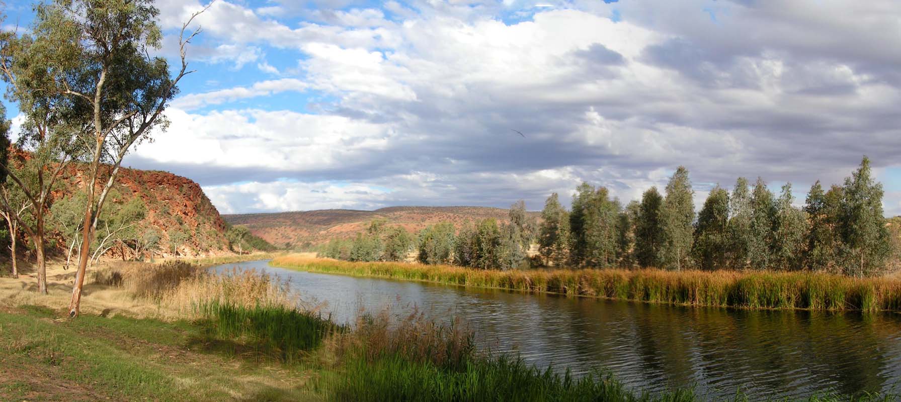
The camp at "Running
Waters" is very beautiful, but sandy and soft.
The camp sites at the Boggy Hole are rocky and hard on
the one side of the billabong, soft and
sandy on the other side.
The lagoon is home to a lot of different birds.

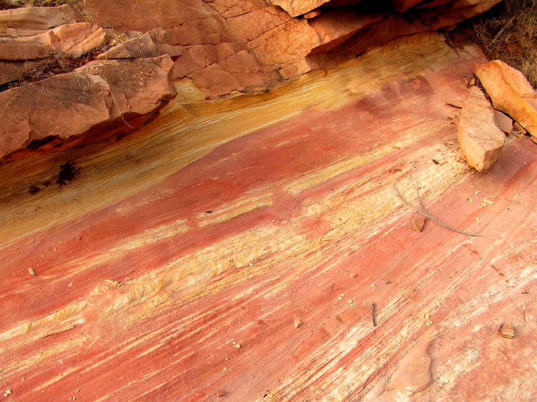
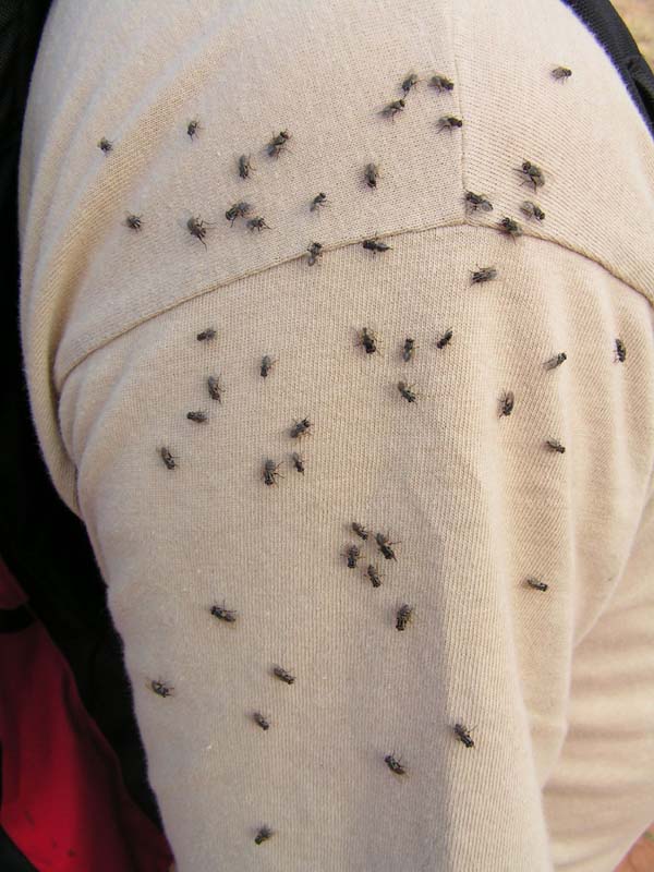
We walk around the billabong, are welcomed by a lot of
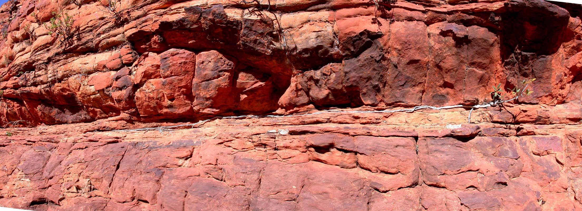
flies, and find nice limestone layers.
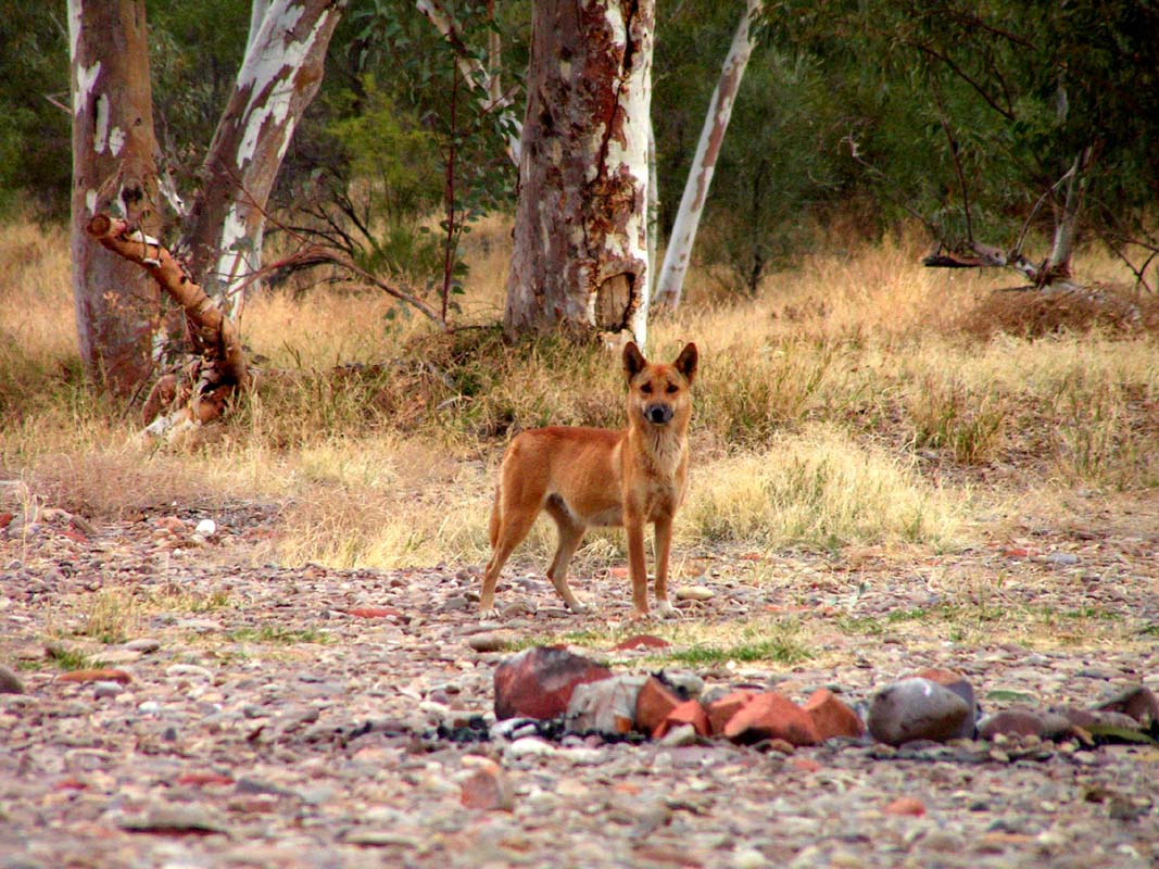
Back at the car also
a dingo says hello.
Soon after it's already bed time.
Tomorrow night we have to be back at Alice Springs where
we are expected by Judith and Guido.
We would have preferred to stay here for some days, but as
our friends have no satellite telephone we are unable
to inform them.
So we will have to continue on tomorrow.


On Sunday, July 30, we continue on the track along
the right riverbank (coming from south
the left side of the river).
The track has extreme, always changing slanting sections.
It is easy to drive them but we feel queasy.
There is an alternative track
on the other side of the river that can be accessed by traversing
the billabong on a shallow spot.
The two tracks merge again on the end of the billabong.
On our way
further north towards the Larapinta
Drive we drive through some soft, sandy patches
but we manage without problems.
The whole track is absolutely
worth
to be driven, but it requires a high clearance 4WD vehicle.
Soon we are back at the Larapinta Drive.
We deviate to the
close-by Hermannsburg to
buy a few items, but change our mind as we are in the community.
The village looks absolutely disgusting with all
the loitering Aborigines.
It leaves a depressing feeling.
We head
east and deviate again for Wallas Rock Station,
another Aboriginal Community.
It is only 40 km apart
from Hermannsburg
but it leaves a totally different impression.
It is a friendly,
clean place.
The art-centre offers single- and multiday
bushtucker (food found in the bush) tours: (08) 8956 7993.
Of course once more
we have no time ....


On the way Susi comes across her beloved
flowers .... .
Since we do not encounter any of the expected difficulties
on the Boggy Hole track we end up on the bitumen much earlier
than planned.
This allows us to make another detour
and so we visit the newly opened Owen Springs National
Park,
which is located on the Hugh River.
We camp on a sand bank
in the completely dry river.
The roads in the park can be
driven with any 4WD vehicle (no liability will be taken-
terms and conditions apply :-)) ).
There is not much to be
seen in the park, but the camp at the Redbank
Waterhole is a good spot, to legally stay near Alice Springs
for a few "work days".
But it has no facilities
and no water.
As planned, we arrive Alice Springs on Tuesday, August
1, go shopping and buy everything required
for
a diner in style with Judith and Guido (August 1 is the national
holiday of Switzerland).
When our guests arrive in Alice
Springs it is already dark. They are very tired and decide
to stay in a hotel for the night.
Also they had to
hurry back to Alice to be able to keep the pre-arranged appointment
with us ....
So much for the planned diner and the unavailable long range
communication equipment.
We have learned another lesson:
If two parties travel together and want to be able to split
up every so often, having reliable long range communication
equipment on board is essential - not only but also for
the improved security.
Rental offices often hand out and EPIRB (Emergency
Personal
Indication
Radio
Beacon) to tourists heading into the outback for the
case of a life threatening situation (the same devices are
used on airplanes and ships worldwide).
In an emergency they can activate the EPIRB which then sends
an internationally receivable distress signal.
As soon as
the signal is received, the Australian officials
start a very expensive search operation.
Since the position
of the alarming device can only be defined down to some square
kilometres, it may take up to 3 days to find the party in
distress.
The effort is clearly not justified, if one only needs a
few litre of diesel or a simple spare part to be able to
continue.
How much better of would one be off with a rented Satellite
telephone.
Of course it is much more expensive, but it can be
used in any case where somebody has to be informed - even
it is
only to tell friends of an unplanned late arrival, so they
don't get worried.
On August 2 and 3 we have two free days, wash clothes and
celebrate the missed national holiday diner.

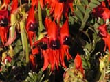
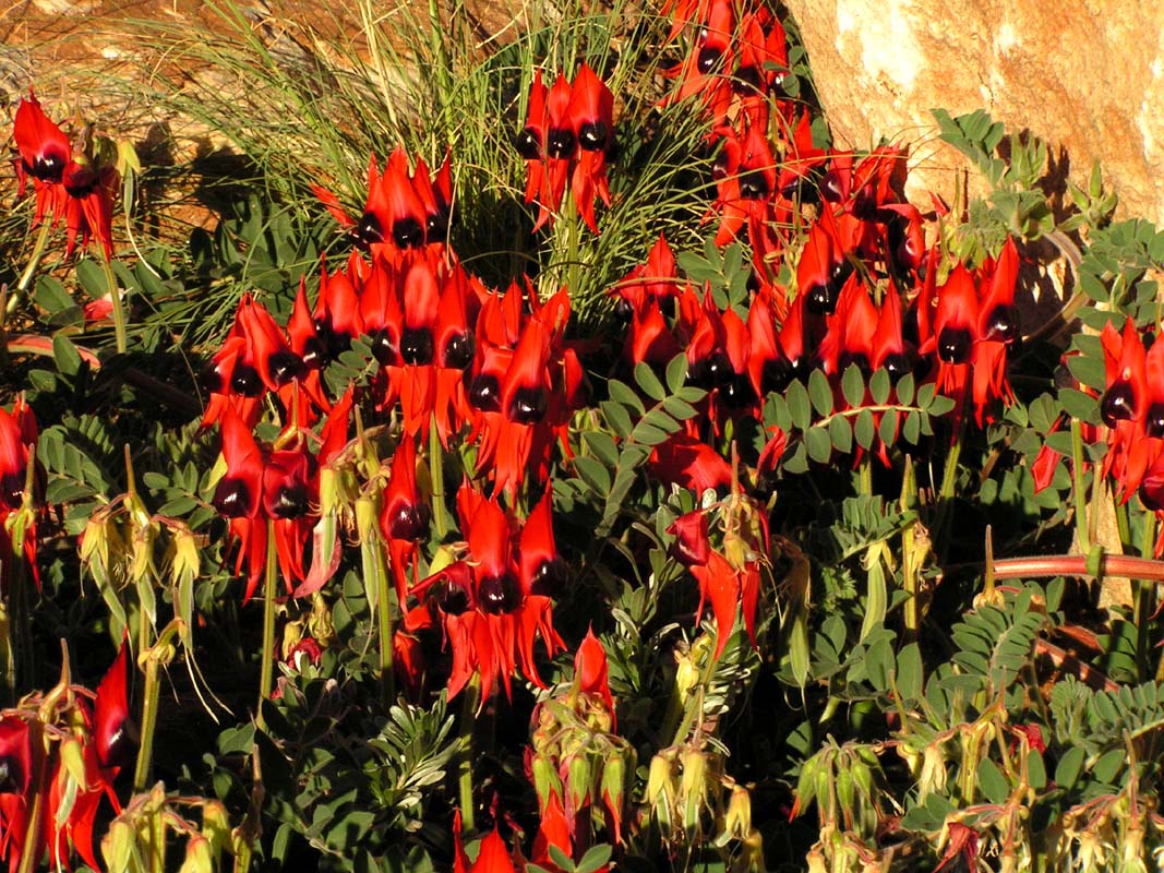
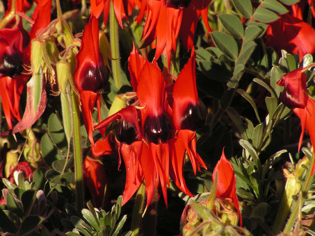
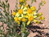
Susi finds this beautiful plant, a Stuart Desert Pea,
with its 4 cm large flowers - photographed on the camp ground
.....
Stop press!!!!! Susi has just complained ....
I have to write here and right now, that
we also have seen wild living flowers of the same type on
the Stuart Highway south of Coober Pedy!
Justice must be
ensured!
Judith and Guide decide to stay on the camp for a few more
days, but we already have the urge to move on.
So we head to the East MacDonnell Ranges on
Friday, August 4.
After driving 30 km north on the Stuart Highway, we turn
right into the Garden Road and after another 48 km left
into the
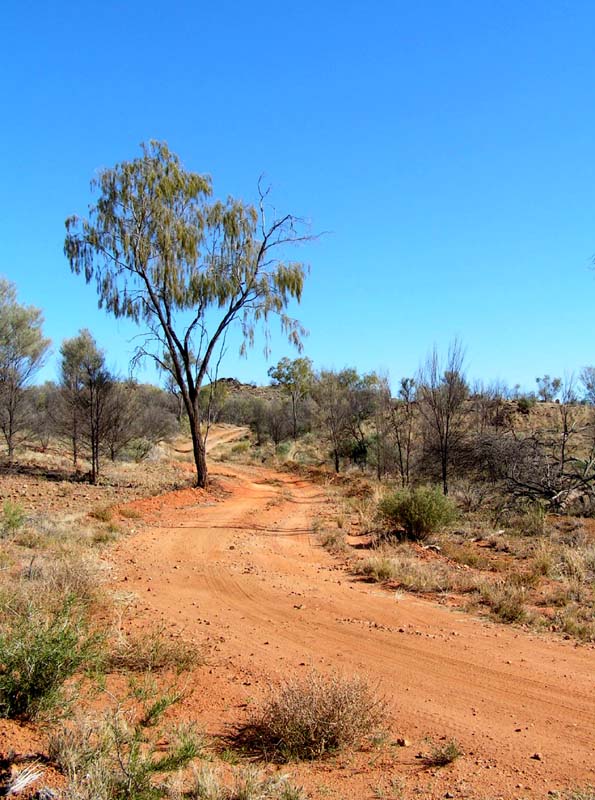
Pinnacle Track.
At least the Pinnacle Track is 4WD territory,
even so it is easy going.
Along the track there are many flowers and the surrounding
is nice - until the beginning of the Aboriginal Territory
... from then on rubbish found along the
track spoils the picture ....
Once we reach the Plenty Highway again
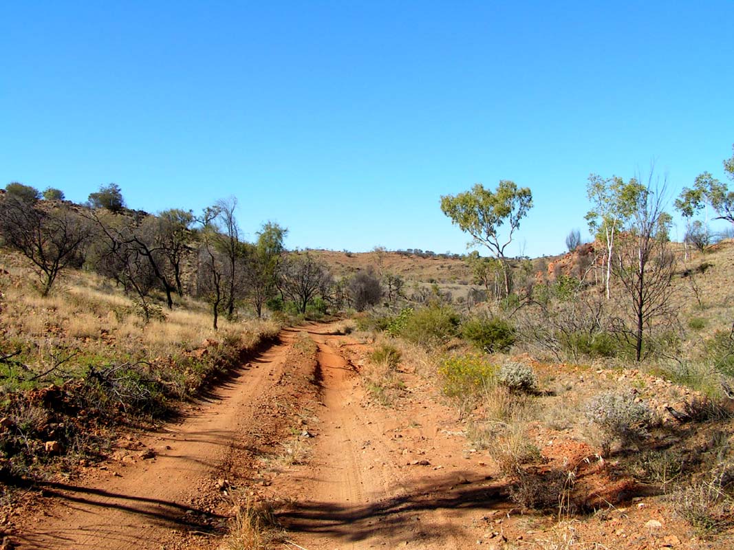
we drive east for about 20 km before we branch right into
the Cattlewater
Pass Track.
The pass will be on 990 m above sea.
In the beginning the track runs over the plain and
seems to be regularly used.
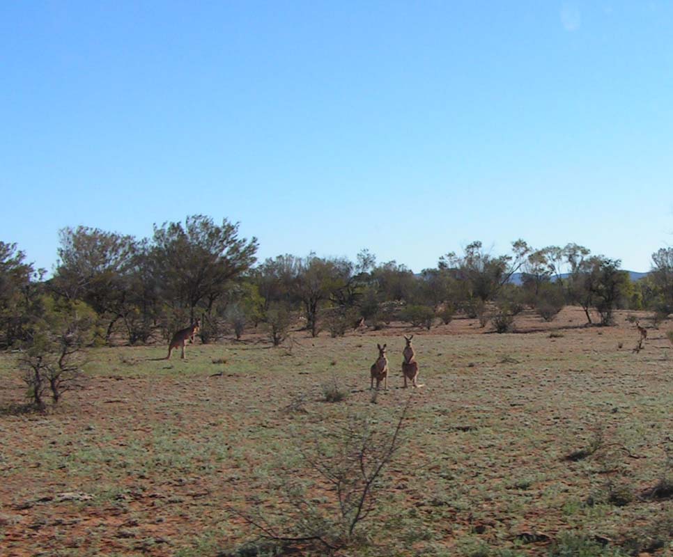
We see a lot of big kangaroos.
As soon we reach the range
the track gets smaller and is as good as a bad European farm
track, rocky at times, sometimes sandy.
Oh, our tyres love this combination!
It could be difficult to drive the track in the OKA because
certain sections are narrow, the branches are low and it
slants sideways.
The whole stretch is about 60 km long.
We like the track very much.
The smaller the track
the closer we feel us to nature.

The country varies a lot and Susi finds new flowers
to identify everywhere ... Bluebush, Yellowtop ...
After a fresh night with only 8°C on 950
m on Saturday we reach the Cattlewater Pass.
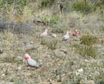
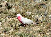
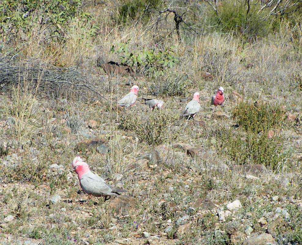
The southern side of the pass is also very varied and beautiful.
We see many Galahs and Eagles.
One spot on the road is steep
and
at another
spot the road slants heavily. It's a 4WD high clearance only
road.
Soon after we are back on a flat plain and hit the
Garden
Road again.
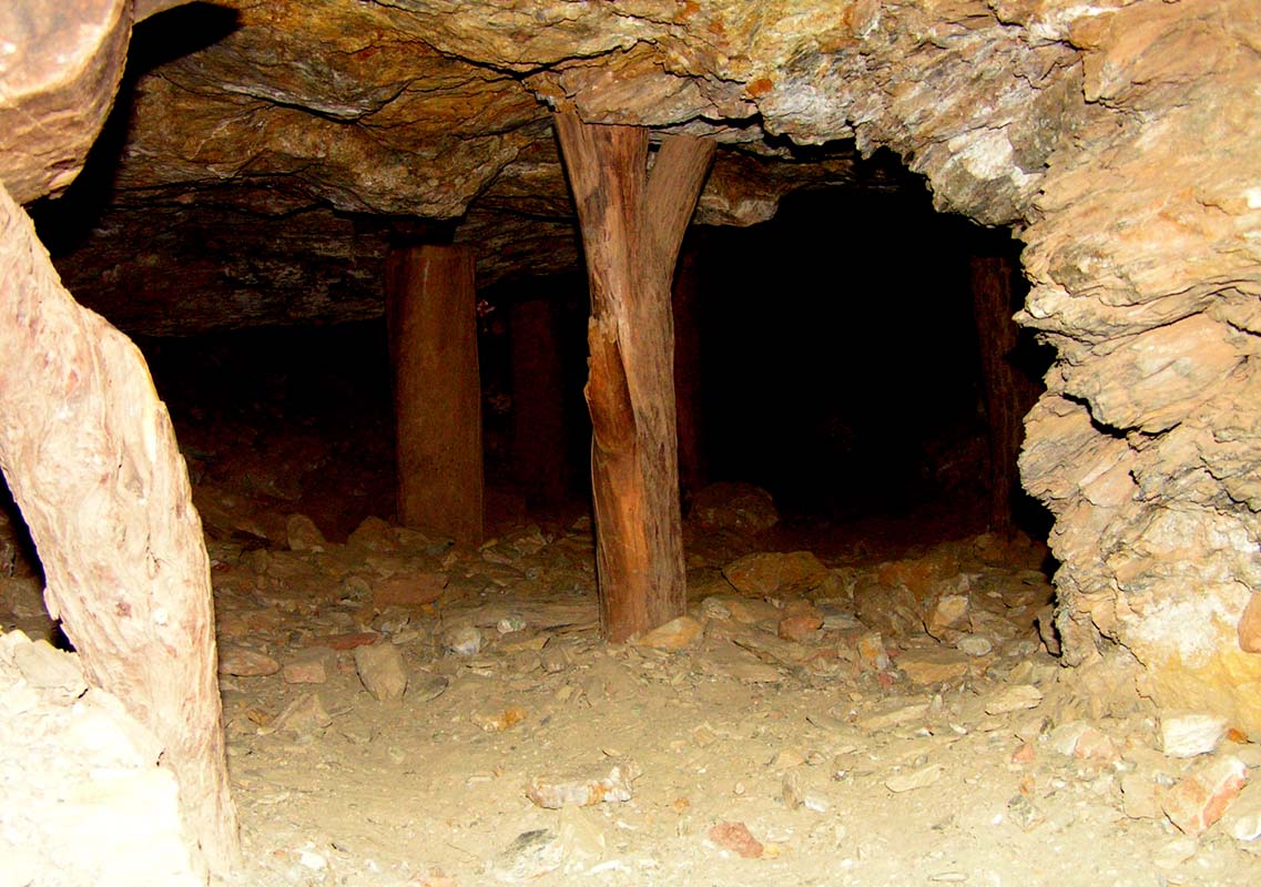
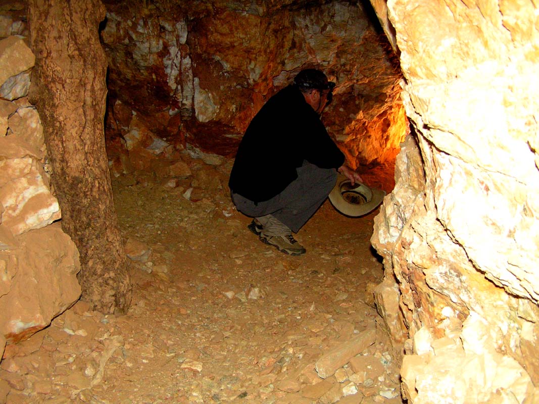
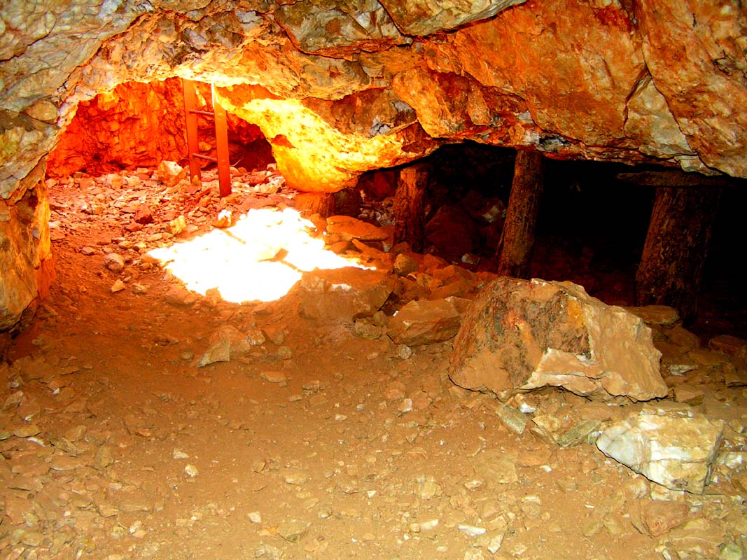
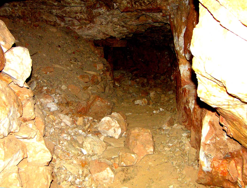
We visit the abandoned gold mines in the Arltunga Historic
Reserve.
The conditions under which these diggers worked
in those days are unbelievable. Ruedi's back hurts by
just thinking about it ....
Now we are on the stretch between the mines and the
Trephina
National
Park. Nice, isn't it?
The Trephina National Park is beautiful
and green. But due to the lack of open
water in recent time most animals (especially the birds Trephina
NP is famous for) have left.
Only ground water is available at the camp ground,
but this is of very high quality.
Of course it would be possible to get
water from bores to get the animals back into
the park, but this would disrupt the balance of nature,
since the plants these animals eat would still be missing.
During the "rangers talk" around the camp fire
we start a hefty discussion, by asking a question regarding
the littering
in nature done by the Aborigines.
Oh sh..., that was stirring up a hornets'
nest, the emotions are instantly peaking!
Some can explain
and excuse everything the Aborigines do and know
for all the deep, psychological reason. The others, mostly
older people with a bit of colonial blood left in there vein,
would
prefer to shoot the whole mob to a foreign planet.
Ouch!
We have to be bit more careful when talking about
such
sensitive subjects next time ....
On Sunday morning, August 6, we roll via Ross River (the
origin place of the notorious Ross River Fever) to the N'Dhala
Nature Reserve where thousands of Aboriginal rock
carvings can be seen.
Well, with enough fantasy ....
For
us the detour
is not worth
to be made.
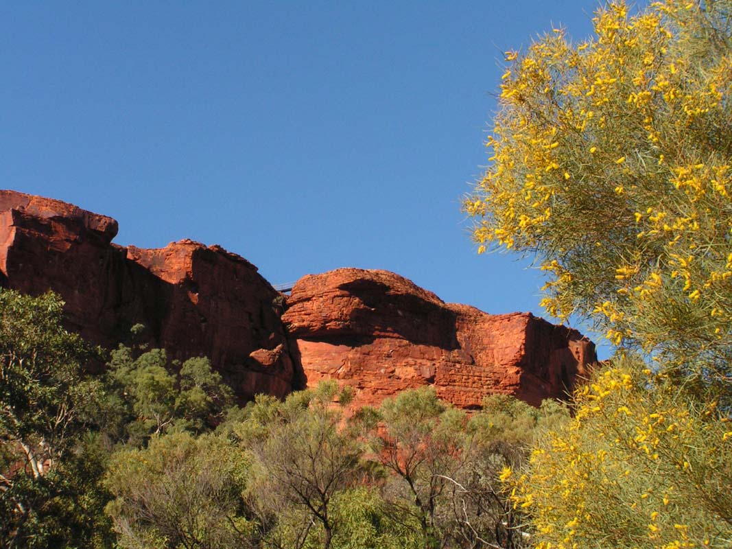
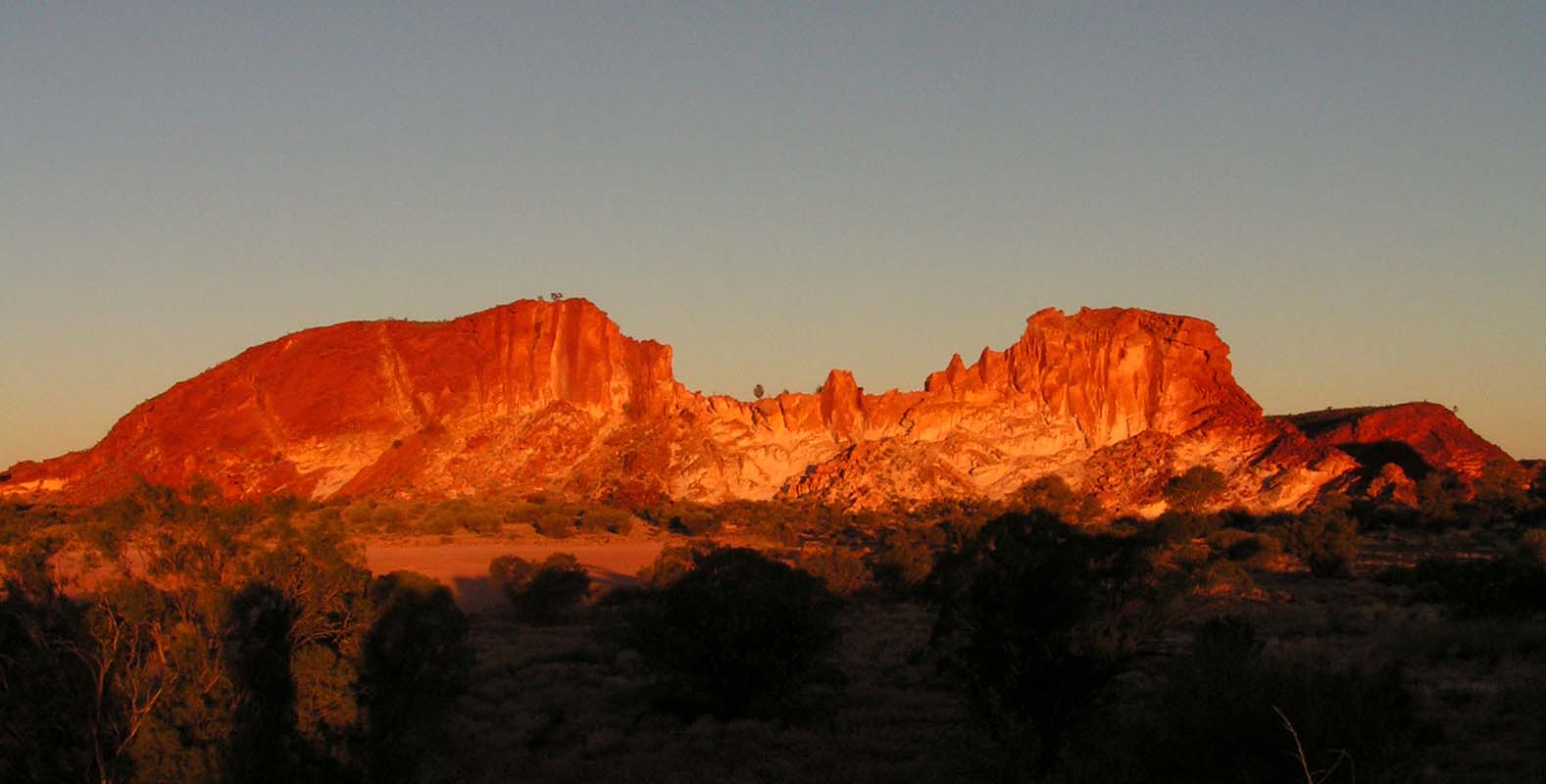
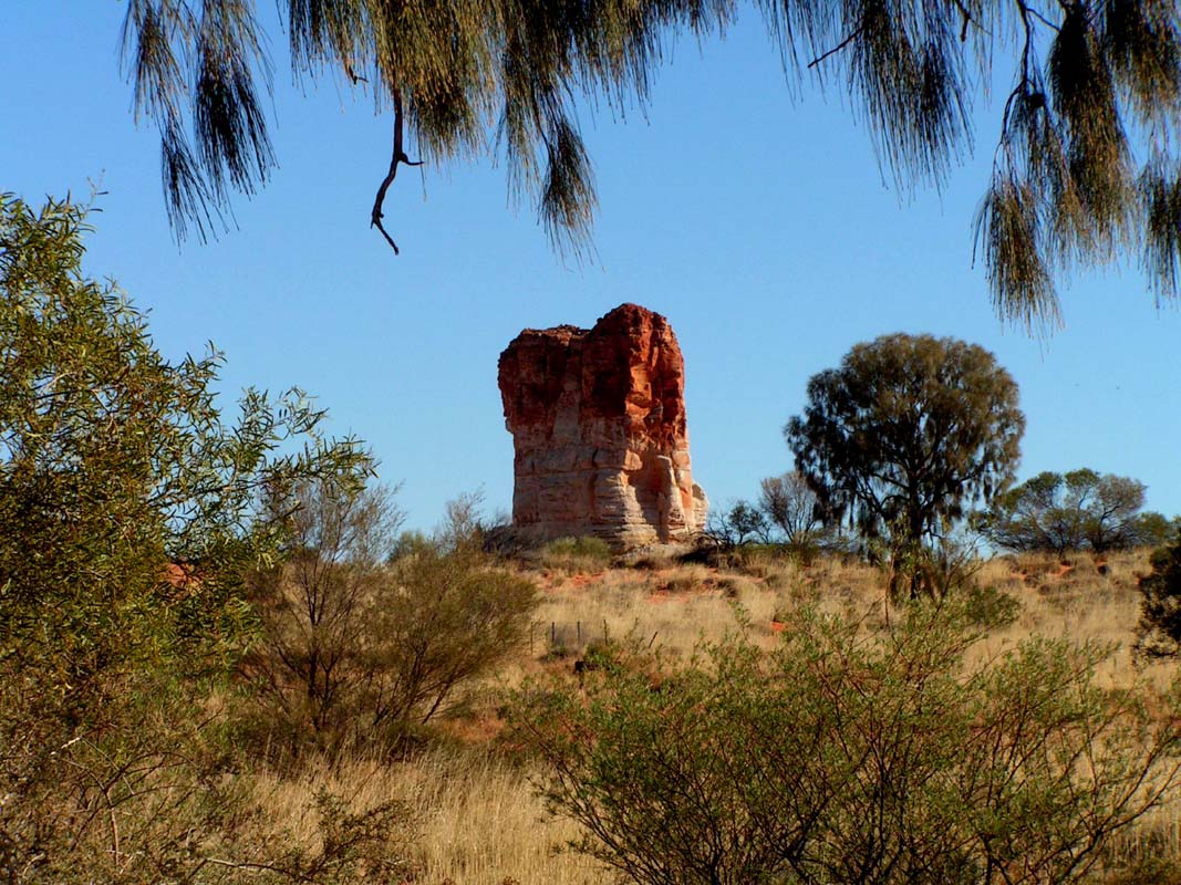
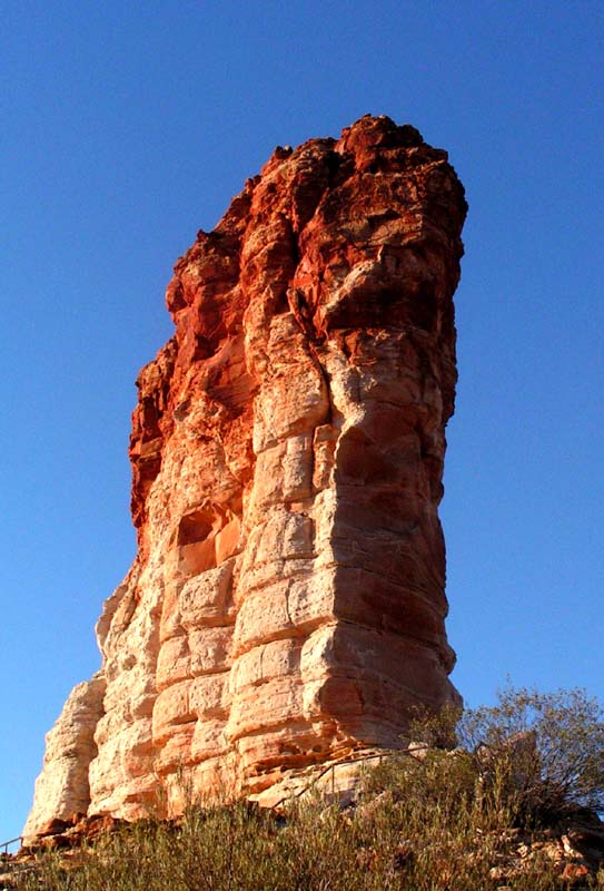
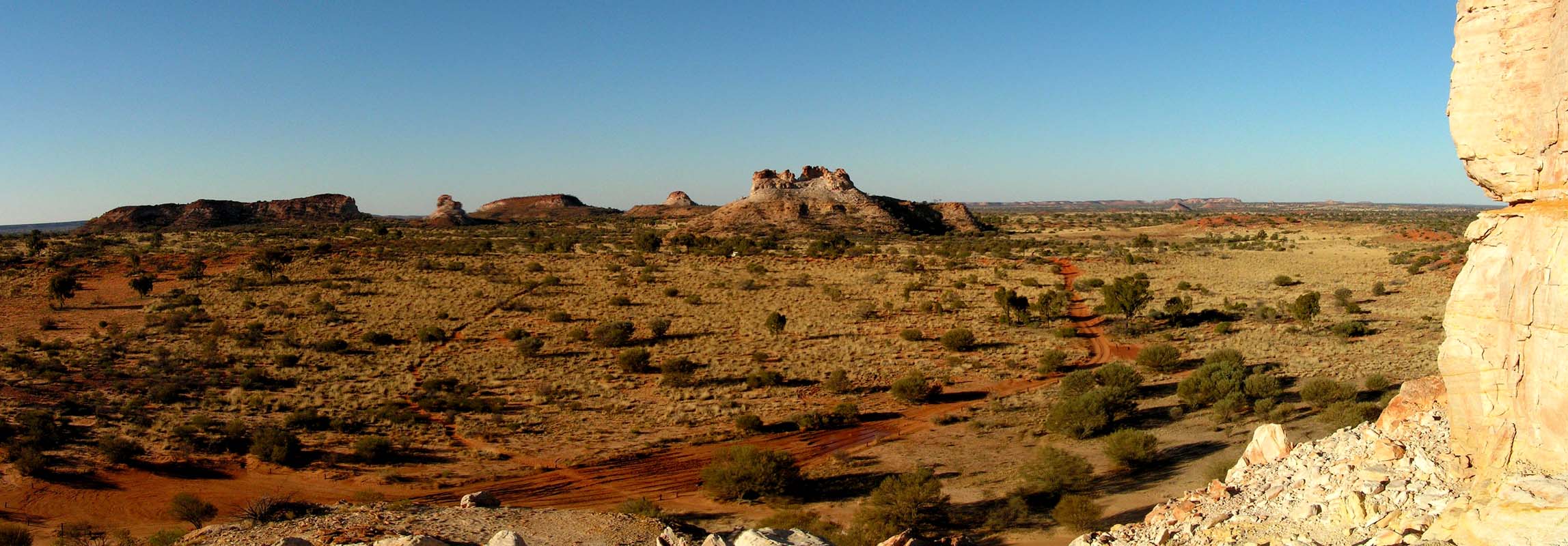
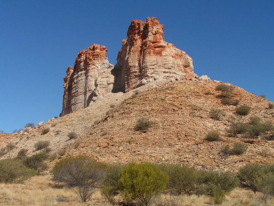
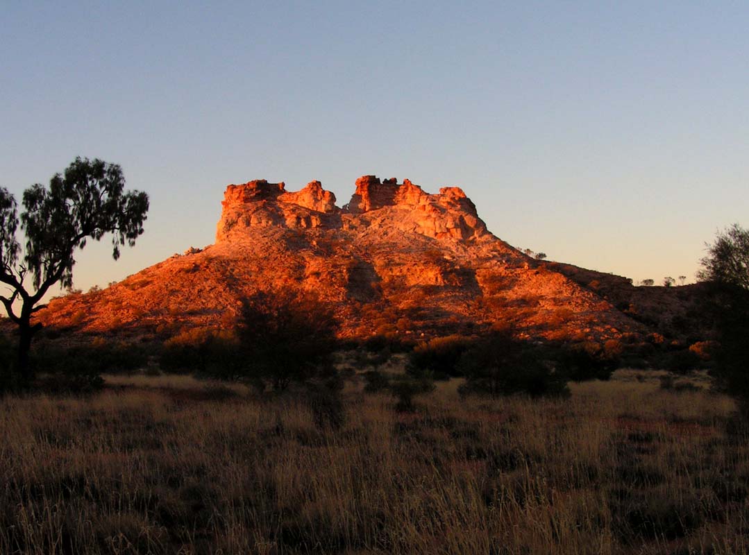
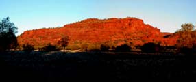
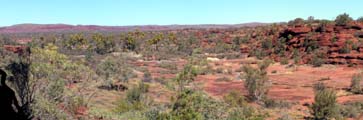
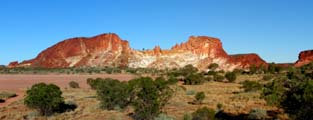
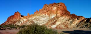
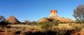
Shortly before Alice we see this interesting hill.
At close
look one can see how the sediment layers were folded.
On the Ross Highway we drive back to
Alice Springs and continue south for about 70 km, before
turning left into the access
road to the Rainbow Valley Conservation
Area.
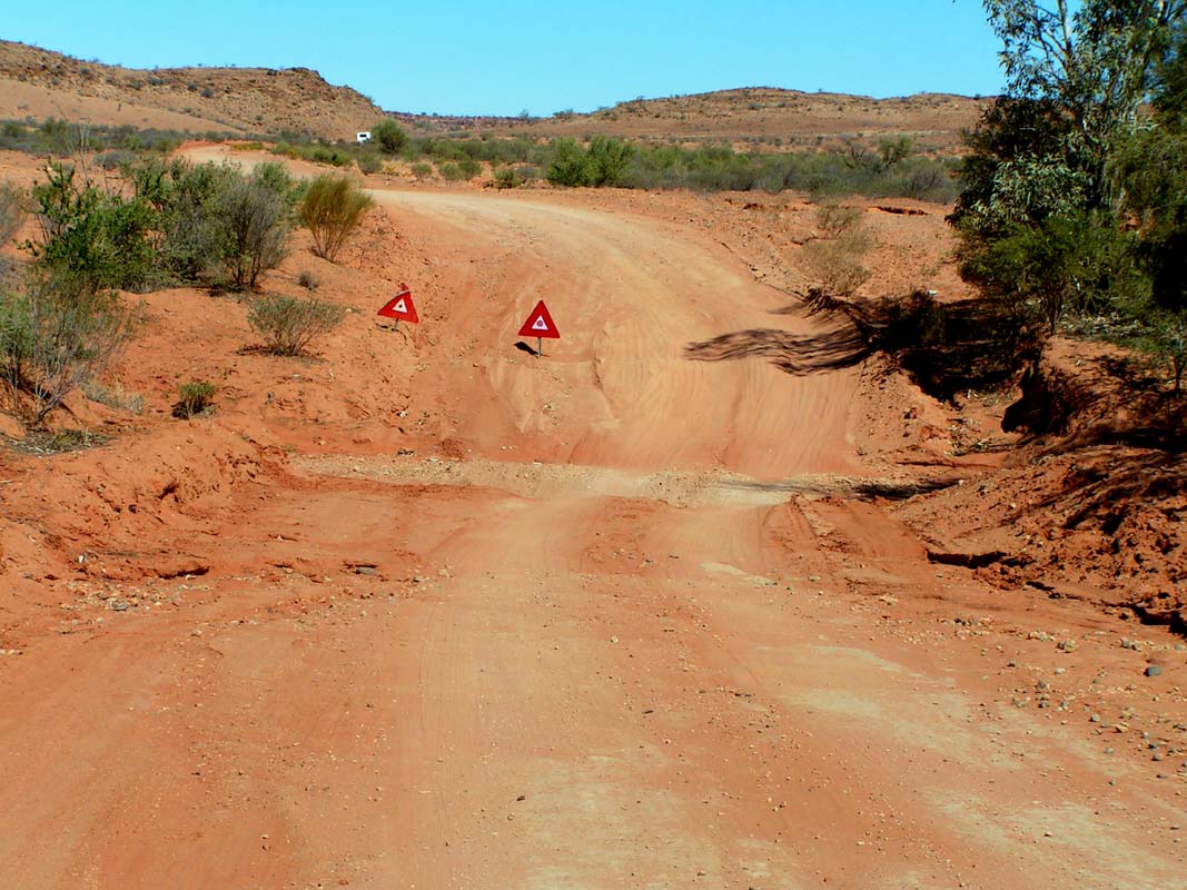
The gravel
road is
horribly corrugated, but it's worth driving it.
Here we meet again with Judith and Guido who fortunately
have reserved a site for us.


The general
view as well as the details of some rock formations of the
Rainbow Valley are very picturesque.
A visit
for sure is worth considering and can be done with ordinary
2WD cars if one doesn't fear the corrugation.
On Monday we carry on, back to the Stuart Highway, further
south, use the Hugh River Stock Route east to get to the
Old Ghan Road, head south to the Aborigine Community of
Maryvale, where we branch off to the road
that leads to the
Chambers
Pillar Historical Reserve.
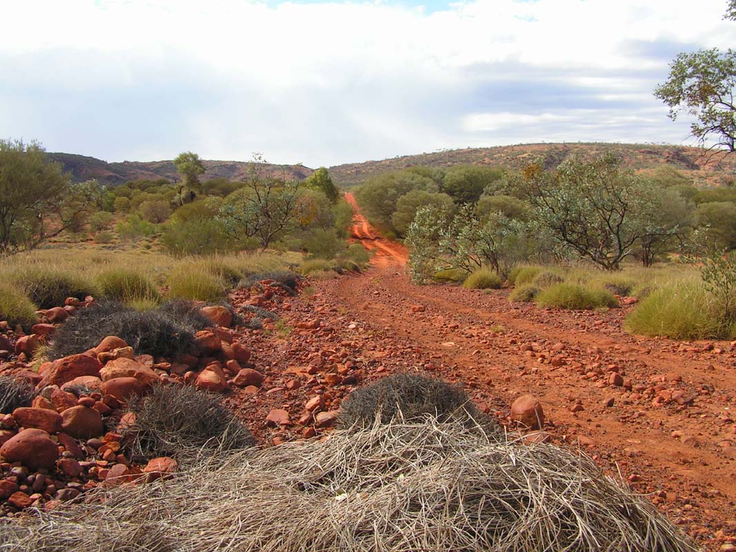
The track gets bumpy. Before the reserve we collect wood
for our camp fire as usually collection of firewood is prohibited
within reserves.

 
The track is mainly a hilly gravel track, or flat and sandy
with a good support.
At the crossing of the Charlotte
Range it gets interesting and very steep for a short
while.
Latest at this point one requires a 4WD.
From the top of the range we have a splendid view over the
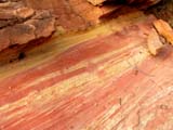
endless plain, towards the Chambers Pillar. Notice the differently
coloured earth layers on the right most picture
- fascinating.
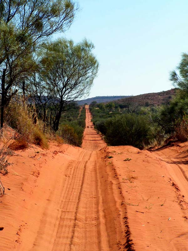
For the last few kilometres the track is single lane, sandy
and hilly.
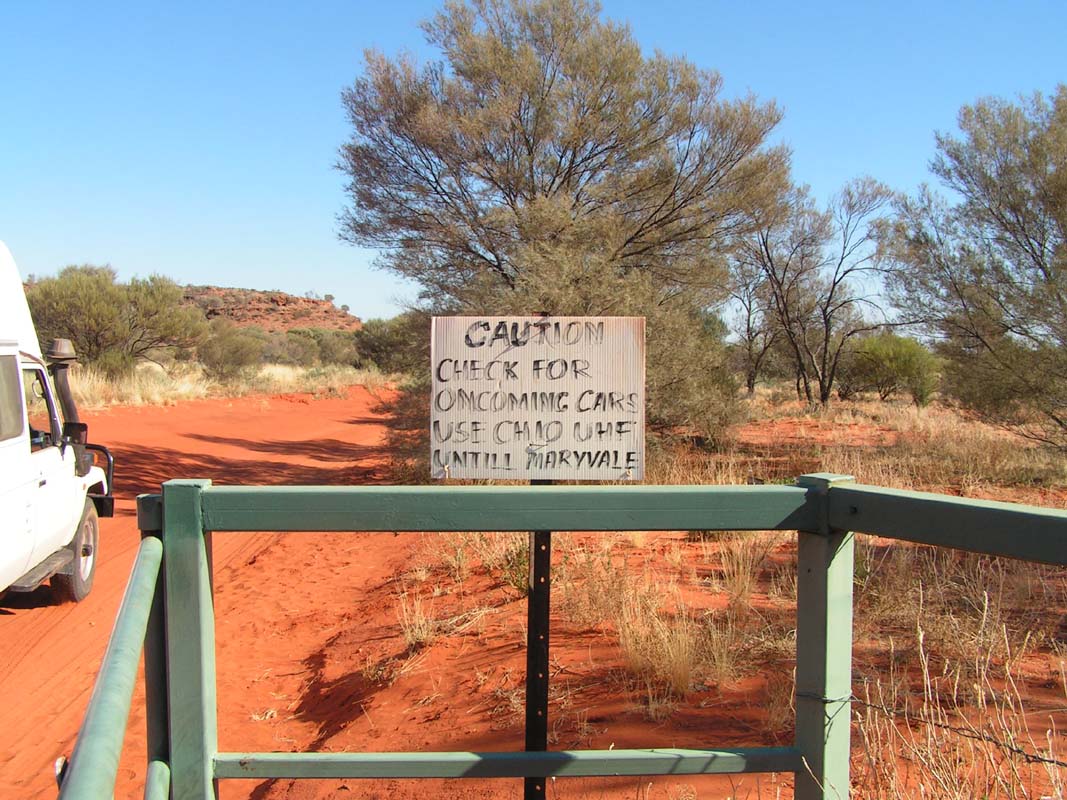
A sign asks to switch on the UHF radio on channel
10 and to constantly announce its position and direction
heading to avoid head on collisions.
Shortly after the gate a tour operator bus comes towards
us - it's an OKA!
We would love to have our OKA here too ....

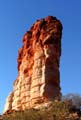 
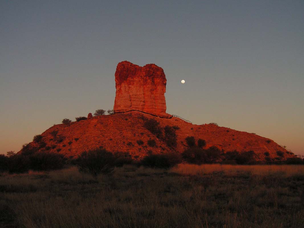
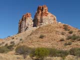
Depending from where one is looking at the Chambers Pillar
it looks like a molar tooth or like a needle in the country.
It is a very photogenic rock.
Its unique shape was used as a point of orientation in the
endless plain by the early explorers. At its bottom one
sees a lot of engravings made by the explorers of the area.
For some of them it was their last sign of live.
It is easy to imagine that
travelling this wide and dry country for the first time must
have been a very demanding task.
How did they find water? They captured an Aboriginal and asked him. If he didn't
tell them where the waterholes could be found, they gave him no more water to
drink
until he changed his mind ... it's so dead easy, isn't it?
 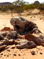 
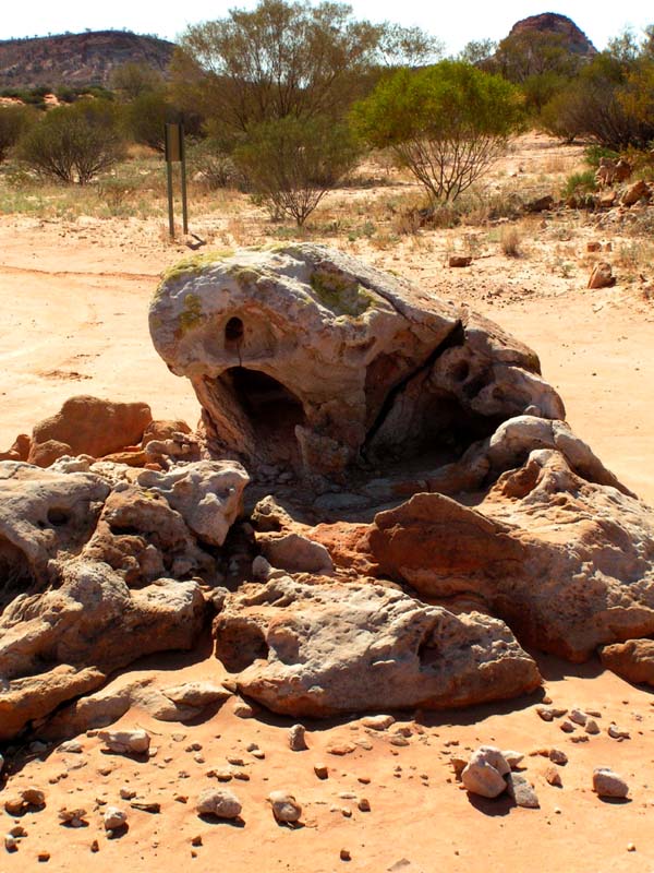
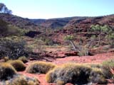
The surrounding of the Pillar has more interesting rock
formations to show, as well as other whims of nature
like this "stone eating sea lion" or the dried
and broken up soil on the hot road.
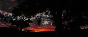
In the evening there is a beautiful evening mood (or has
ever somebody seen one in the morning!?).
Tuesday is a day off.
It is such a beautiful, sunny and peaceful
here.
Here we meet Gerry Gerrard
and Corinne
Fletcher
from Sandrifter Tours (www.sandrifter.com.au).
They are here with a group of painters and invite us to visit
them in Alice Springs.
Also they offer us their workshop
to finish there our OKA after its delivery to Alice
in one week's time.


On our walk around the rocks we are astonished about the
many different plants living in this arid surrounding.
Judith and Guido decided not to drive further south towards
Finke and Dalhousie. After a lazy day on Wednesday we return
to Alice Springs over the Old South Road, along the old Ghan
Railway
Line. The road is not spectacular. On a bigger sand dune we exercise with Guido driving in
deep sand.
He doesn't have any problems dealing with the
conditions and Judith is again very proud of her "hero".
On Thursday we again wash clothes at the camp site.
Some silly buggers steal two of Susi's T-shirts from the
clothes
line.
On Friday we visit Rob Clark from Don Kyatt
to check the delivery date of the OKA to Alice Springs.
According
to plan it should arrive coming Monday. Ron informs us,
that it will not arrive in Alice before next Friday.
Slowly
the constant delay starts interfering with Judith and Guido's
travel plans.
They must carry on to the Kimberleys.
On Saturday, August 12, Judith and Guido head north and we wait here
in Alice Springs for our OKA.
Shortly after their departure we receive
another
mail, stating
that the OKA will be delayed for another week since the dealer in
Alice Springs ordered the wrong (too little) type of truck for
the transport.
This means that the OKA has to be loaded onto a Road Train and transported
via Adelaide to Alice.
OKA offers us 2 flights from Alice to Perth and
also the fuel costs back to Alice if we would be willing
to pick-up the truck
by ourselves at OKA's factory in Bibra Lake.
Because part of the equipment that we would
use in the OKA is here in the Toyota and because the whole
project would be logistically
too
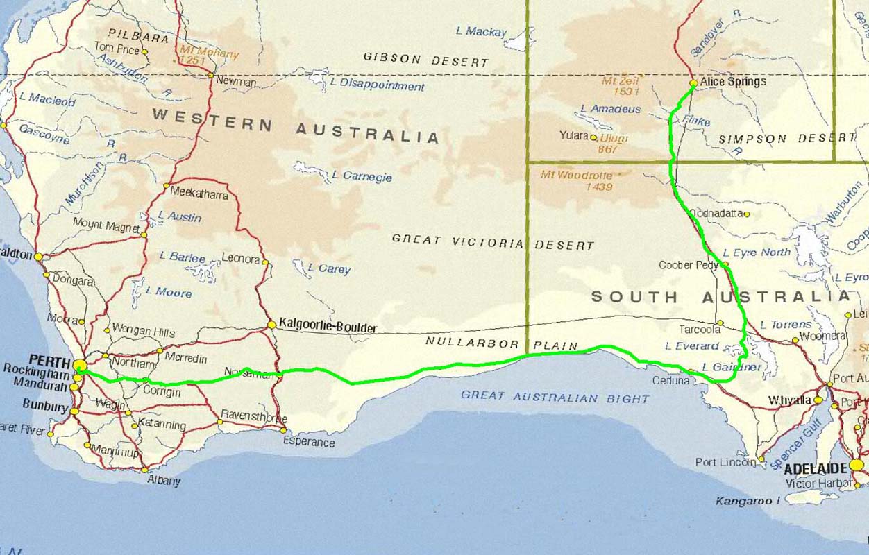
cumbersome, we decide to instantly leave Alice and to drive straight
back to Perth.
The route via the Great Central Road is uncertain due to
the weather and we have given most of the recovery gear,
such as air compressor,
tyre repair kit, hand winch, straps to Guido.
Since the condition
of the Toyota also doesn't lead to much confidence, we are scared to
risk
such
a long trip off civilization at this very time.
So we agree to
take the same route to Perth as we have taken from Perth to Alice
Springs one month
ago; driving on the Nullarbor.
One hour later all is packed up. We leave Alice Springs at 1:45
PM and drive about 400 km on the Stuart highway south until we
pass
the
boarder
to South
Australia, where we
sleep close to Marla.
The night is reasonably cool with 14°C.
We get up very
early on Sunday morning. We drive in shifts from dawn
to dusk like mad ...
The goal is to drive 1'000 km every
day, while at the same time sticking to all the traffic rules
and regulations.
We drive via Coober Pedy and the gravel road through the "Wombat
Valley" .
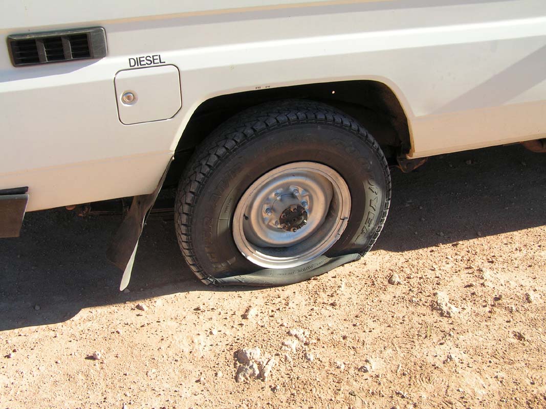
Until mid afternoon we are very much on schedule, but 100 m after the
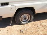
end of the gravel road, close to Wirrulla, we have a puncture,
which voids today's goal.
As it is Sunday afternoon all the garages
are closed.
We decide to carry on into the Nullarbor without spare wheel and to have
the repair done tomorrow on a roadhouse along the way.
The risk is small
as the road has a lot of traffic.
Despite of the bad luck today we manage
to reach Penong on the Eyre Highway shortly before
the Nullarbor.
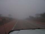 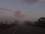 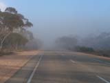 
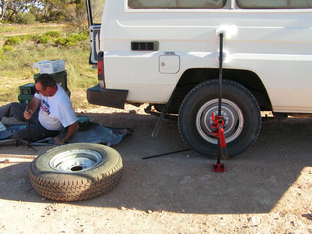
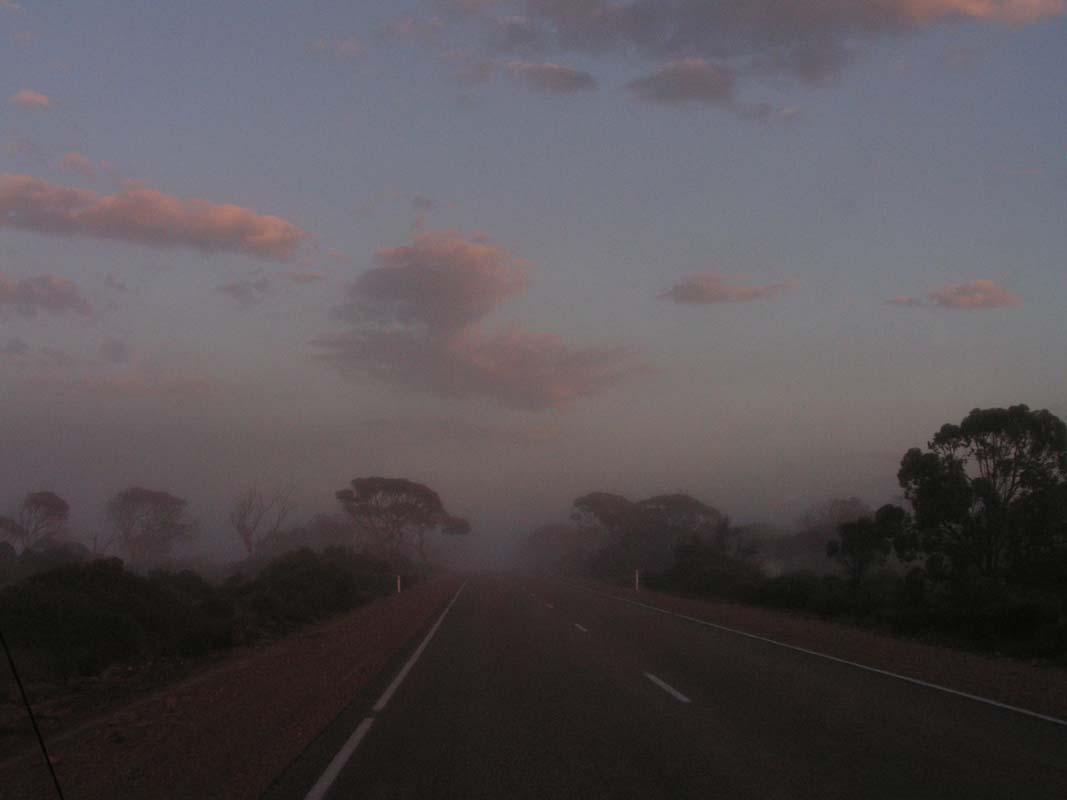
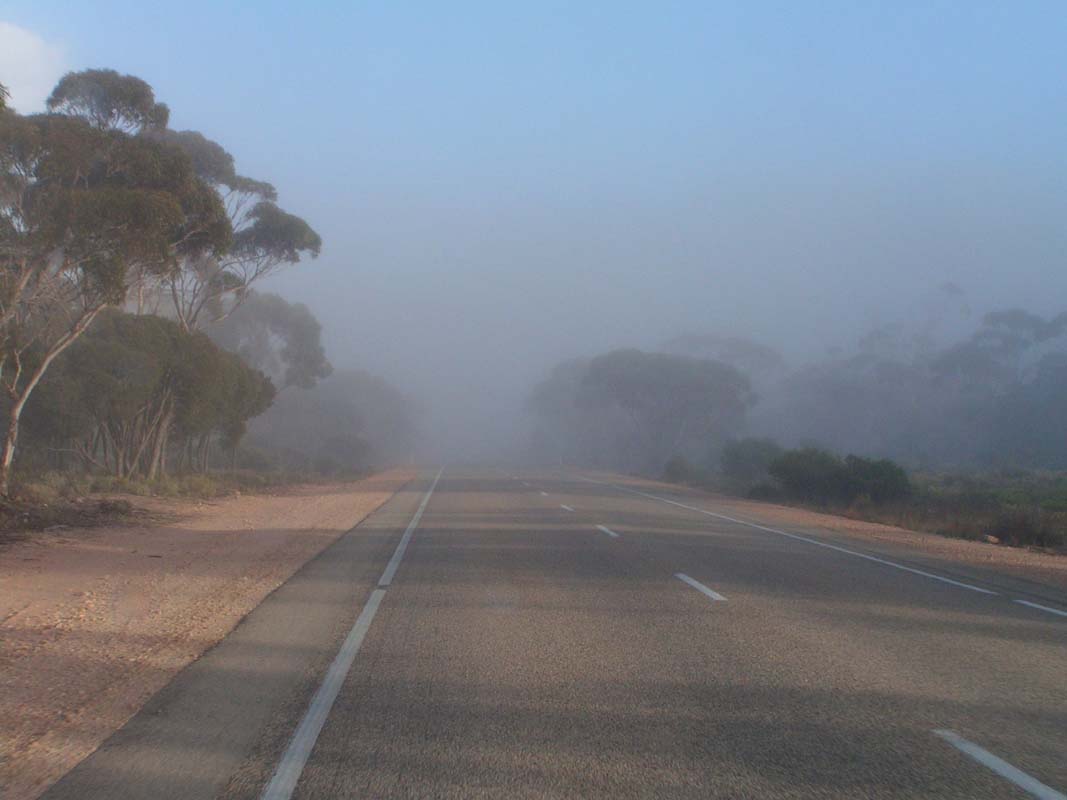
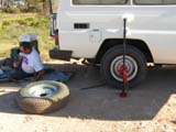
On Monday morning we already start at 6:50 AM. The fog is so thick,
that we have to drive slowly.
Then luckily the sun breaks through.
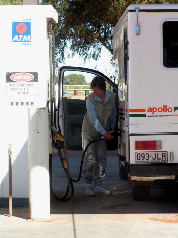
At the Nullarbor roadhouse we give our tyre for repair.
The tyre was simply too old and didn't withstand the constant pounding
on the corrugated gravel road and broke
apart ....
We are very happy not having to pay any of the repairs we had within
the last few weeks.
While the tyre gets fixed we indulge in a real big truckee-breakfast.

Even though we are in a hurry we always still manage to watch
out for mother nature.
Here Susi spotted a Pittosporum full of fruits. Along the
road it also some nice Lilies are blooming; it looks as spring has already
started on the Nullarbor.
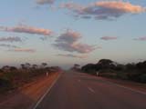
At dusk we are already in Norseman in West Australia.
On Tuesday, August 15, we "sleep in" and start after
7 AM via the Norseman - Hyden gravel road.
The weather gets worse and we fear we could
be caught
up by
rain before reaching the bitumen in Hyden.
But this time fortune is on
our side. We reach the paved road at the same time rain starts poring
down.
That was close!
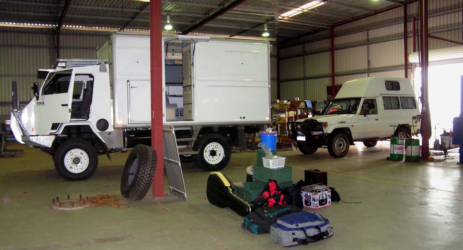
At 2:15 PM we reach OKA in Bibra Lake.
For the 2950 km from Alice Springs to Perth by sticking to
all road rules we used exactly 3 Days (dawn to dusk) and 30 minutes.
Not bad!

And here is our OKA, licensed to the road, the license plate attached and
ready to be loaded and to go.
Nearly unbelievable!
Thanks to all of OKA's employees for the job done.
We are fully aware
how difficult the situation also was on your side.
We are very proud
to be
the first owners of the new released OKA NT. |